Welcome to Helen & Geoff’s amazing adventures
Explore Our Travel Adventure Blogs, Photo Galleries & Genealogy Research
Embark on a journey with us to explore the wonders of nature and genealogy research.
Explore
Discover Our Travel Blogs, Galleries and Genealogy Research
Travel Blog
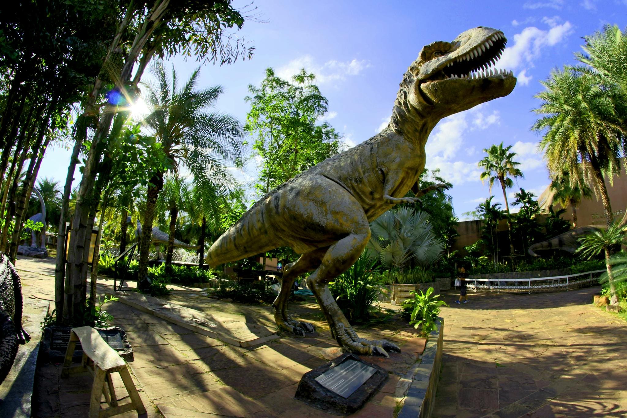
Photo Galleries
Genealogy Research
Connect with us now!
Become a part of our community today!
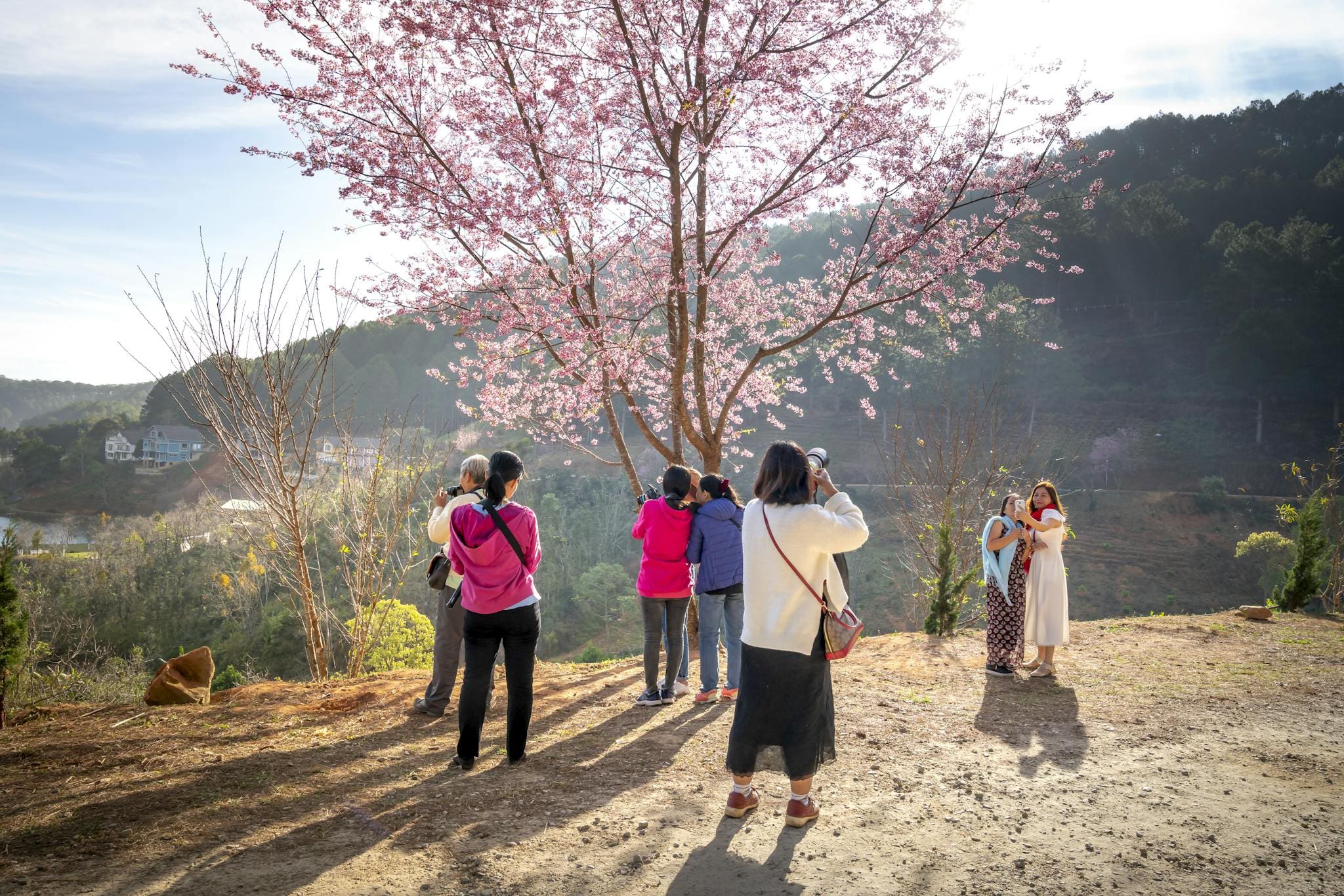
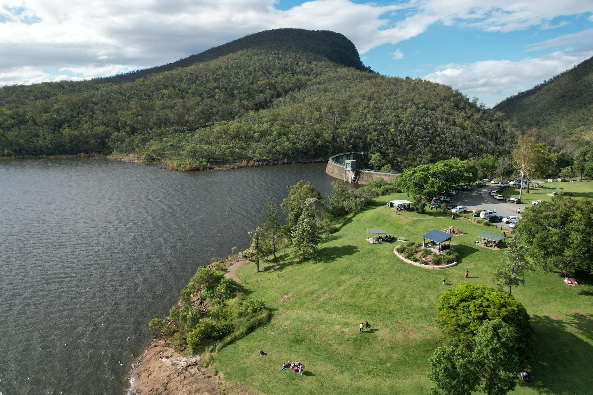
Explore our Travel Blog
Discover exciting travel stories, stunning photo galleries, and our passion for birds and flora.
Discover our Photo Galleries
Join us in tracing our extended family, distant relatives, and the pioneers of eastern Australia.


