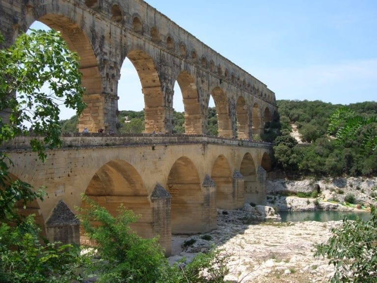
I am a Roman bridge across the Rhone
I am a Roman bridge across the Rhone

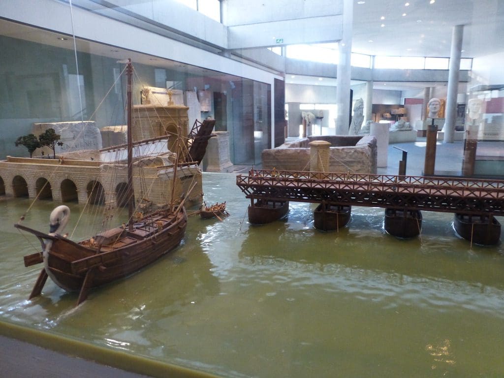
In its lower reaches the Rhone is a big wide river. The Roman bridge across the Rhone was not fixed but consisted of a pontoon-style bridge of boats, with towers and drawbridges at each end. The boats were secured in place by anchors and were tethered to twin towers built just upstream of the bridge. This unusual design was a way of coping with the river’s frequent violent floods, which would have made short work of a conventional bridge. Nothing now remains of the Roman bridge, which has been replaced by a more modern bridge near the same spot.
Arles always struggled to escape the shadow of Massalia (Marseilles) further along the coast. Its chance came when it sided with Julius Caesar against Pompey, providing military support. Unlucky Massalia backed Pompey; when Caesar emerged victorious, Massalia was stripped of its possessions, which were transferred to Arelate as a reward. The town was formally established as a colony for veterans of the Roman legion Legio VI Ferrata, which had its base there.
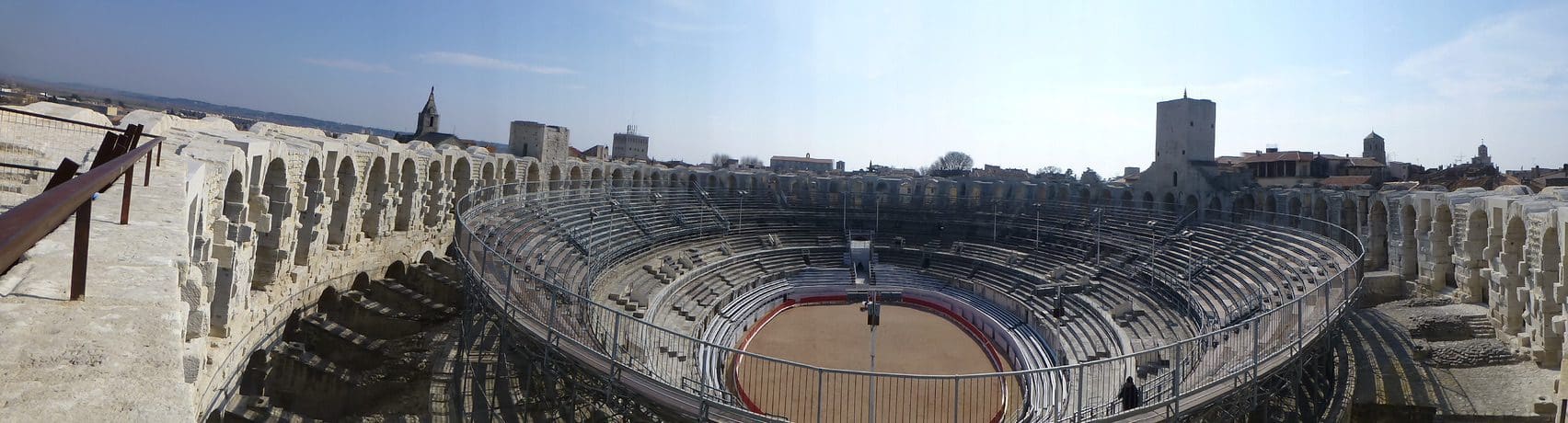
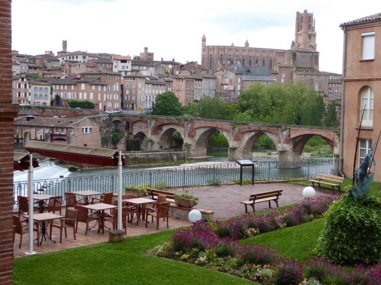
Arelate was a city of considerable importance in the province of Gallia Narbonensis. It covered an area of some 99 acres (400,000 m²) and possessed a number of monuments, including an amphitheatre, triumphal arch, Roman circus, theatre, and a full circuit of walls. Ancient Arles was closer to the sea than it is now and served as a major port. It also had (and still has) the southernmost bridge on the Rhone.
The city reached a peak of influence during the 4th and 5th centuries, when Roman Emperors frequently used it as their headquarters during military campaigns.