Jindabyne – Dec 18 and Jan 19

by | Jan 3, 2019 | Jindabyne, mountain bike, Perisher

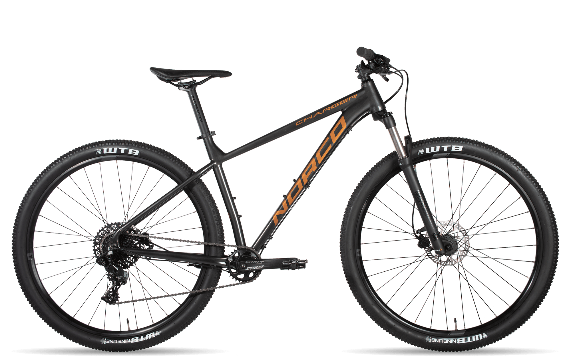
We’ve come down to Jindabyne for a few weeks over the Xmas and New Year. A very pleasant time. The main activity is riding our new bikes uphill. Yes, we have finally bought new bikes. We had the Giant Rincons for about 10 years. Let’s see if we can get a few years out of these. We really needed a few lower gears than the old Giant Rincons which were getting just a bit hard for us to push uphill. Helen has a Liv 2 (hardtail, 2 * 10 gears, tubeless tyres). I have a Norco Charger 2 (hardtail, 11 gears, tubeless tyres). We bought the bikes from the very helpful Wagga Cycle Centre.

Objectives for the trip are to improve bendability and functionality of Geoff’s new right knee and improve our fitness.

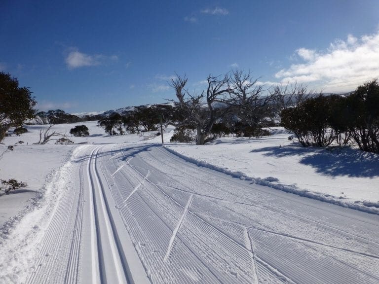
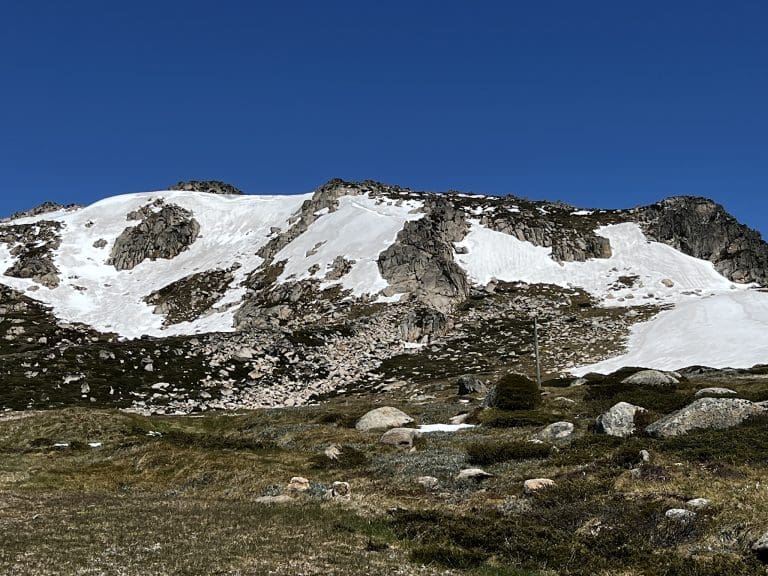
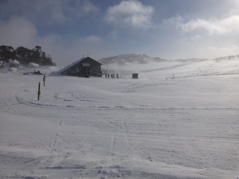
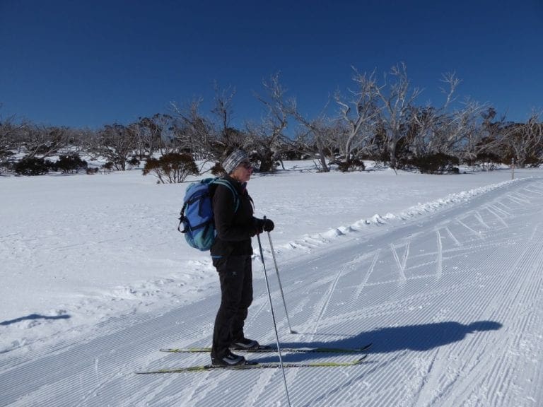
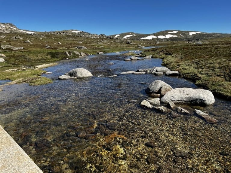
Our favourite ride is up from Charlottes Pass – preferably to Rawsons Pass. Weather (wind and rain) and our ability to recover will determine how often we ride. The table below is a summary of our 8 rides. These are our findings:

  • The objective for each ride is to recover as quickly as possible; it is not to race to the top of the hill.
  • Recovery is improved by keeping completely out of the red zone. Any time in red screws up the recovery. Even more time in yellow hinders recovery.
  • Compare the two rides to Rawsons – both had zero time in red; the first had more time (including two sections each of about 5 mins above 140 BPM) in yellow and gave a 56 hour recovery; the second had just a little less time in yellow (and only short peaks above 140 BPM) and gave a 44 hour recovery. That is a huge difference just by keeping the heart rate lower. (Total time for each ride was almost identical.)
  • Working for a long time in the Green Zone really does improve fitness and resistance to fatigue.
Date Where Distance Red
Zone
Yellow
Zone
Green
Zone
kCal Recovery
needed
18 Dec 18 Charlottes to
Snowy R
9.29 km 5:27 min 28:56 min 30:37 min 715 21 hrs
19 Dec 18 Charlottes to
flat spot blow
Seamans Hut
11.3 km zero 34:08 min 43:11 min 917 29 hrs
23 Dec 18 Charlotte to
Seamans Hut
12.8 km 0:53 min 59:02 min 30:51 min 1100 49 hrs
25 Dec 18 Charlottes to
Rawsons
15 km zero 42:36 min 1:33:10 hr 1473 56 hrs
27 Dec 18 Charlottes to
Seamans Hut
12.1 km zero 36:40 min 1:12:33 hr 1074 34 hrs
29 Dec 18 Dead Horse
Gap to bridge
4.45 km zero 3:05 min 46:13 min 673 12 hrs
31 Dec 18 Charlottes to
Snowy R * 2
17 km zero 29:16 min 1:16:22 hr 1078 31 hrs
2 Jan 19 Charlottes to
Rawsons
15.3 km zero 36:37 min 1:33:48 hr 1404 44 hrs

Shield Shrimp

When it rains across Australia’s vast inland region, temporary pools crop up all over the arid ground, giving life to a strange desert crustacean known as the shield shrimp (Triops australiensis).

Named after the formidable carapace that shields its head and upper body, T. australiensis can grow up to 7.6 cm long, and it uses its long, segmented tail and mass of 60 or so legs to propel itself through shallow water.

It also breathes through these legs – its sub-class Branchiopoda means ‘gill-legged’ – and in the females these legs bear ovisacs for carrying their tiny eggs.

Several pix in the Photo Gallery and a movie.

Acacia peuce

A rare and endangered plant. The tree grows up to 15 to 18 metres (49 to 59 ft) high, with short horizontal branches and pendulous branchlets covered in needle-like phyllodes adapted for the arid dry climate. It has a distinctive habit more similar to a sheoak or a conifer.

Although speculated to have been widespread across central Australia during wetter climates 400,000 years ago, the population is now mostly restricted to three sites, separated by the encroaching Simpson Desert. In the Northern Territory, the species is restricted to the Mac Clark (Acacia peuce) Conservation Reserve which is surrounded by a pastoral lease, Andado Station. The other two sites are near Boulia and Birdsville in Queensland. The tree is found in open arid plains that usually receive less than 150 millimetres (5.9 in) of rain per annum. They grow on shallow sand aprons overlaying gibber or clay slopes and plains and between longitudinal dunes or on alluvial flats between ephemeral watercourses.


Owen Springs Reserve on Hugh River

Owen Springs was a station on the Hugh River. The Hugh River flows into the Finke (when it actually flows). Both cut through the Western MacDonnell Ranges. The image above shows Owen Springs Reserve as a dot at lower right. The river it is next to is the Hugh. Hermannsburg, our next town, is near middle left edge. Hermannsburg is almost on the Finke River. You can see both Hugh and Finke Rivers cutting through sections of MacDonnell Ranges.

Palm Valley

Palm Valley is within the Finke Gorge National Park southwest of Alice Springs. Palm Valley has a smallish population of Red Cabbage Palms (Livistona mariae). The nearest related species is 850 kilometres away in Katherine NT. The average rainfall for Palm Valley is just 200 mm per year. Small pockets of semi-permanent spring-fed pools allow the unique flora and fauna (desert fish, shield shrimps tadpoles and frogs) to survive.

It had been assumed that the cabbage palms were remnants of a prehistoric time when the climate supported tropical rainforest in what is now the arid inland of Australia. Genetic analysis published in 2012 determined that Livistona mariae at Palm Valley is actually the same species as Livistona rigida from samples collected near Katherine and Mount Isa, both around 1,000 kilometres (620 mi) away. It is now thought that aboriginal people brought the palms to here from Mataranka.

Mound Springs

Mound Springs occur around the Western edge of the Great Artesian Basin and represent a natural discharge of Artesian water that was captured many hundreds of kilometers away from rain falling along the Great Dividing Range and New Guinea. This article provides details. Dalhousie is an excellent example of a mound spring.

Great Artesian Basin map Great Artesian Basin diagram