December Cycling Trip to Jindabyne

by | Dec 30, 2021 | Jindabyne, mountain bike

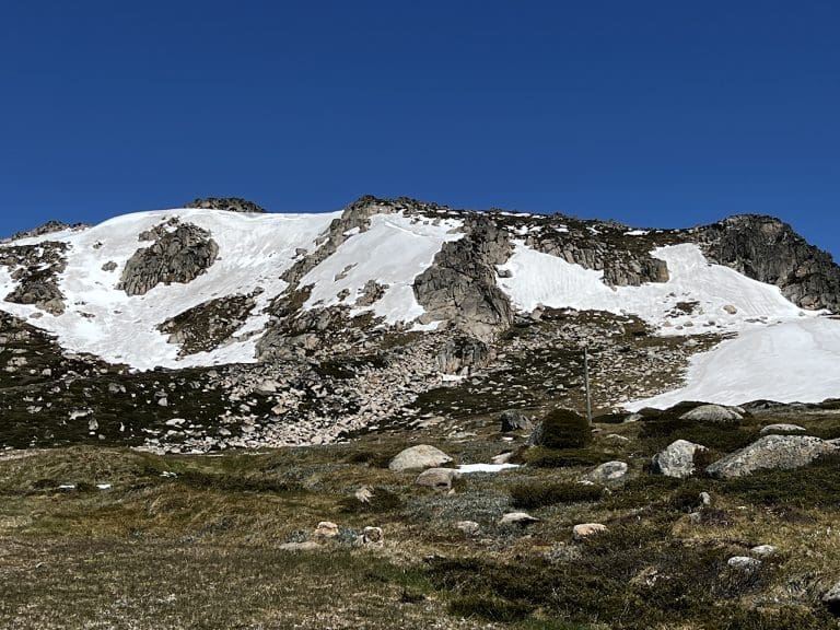
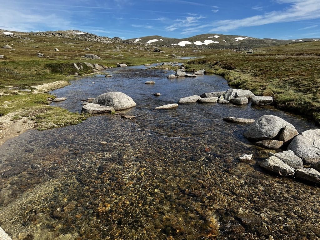
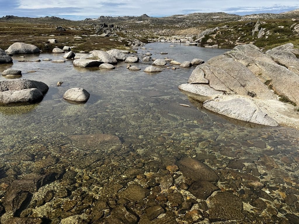
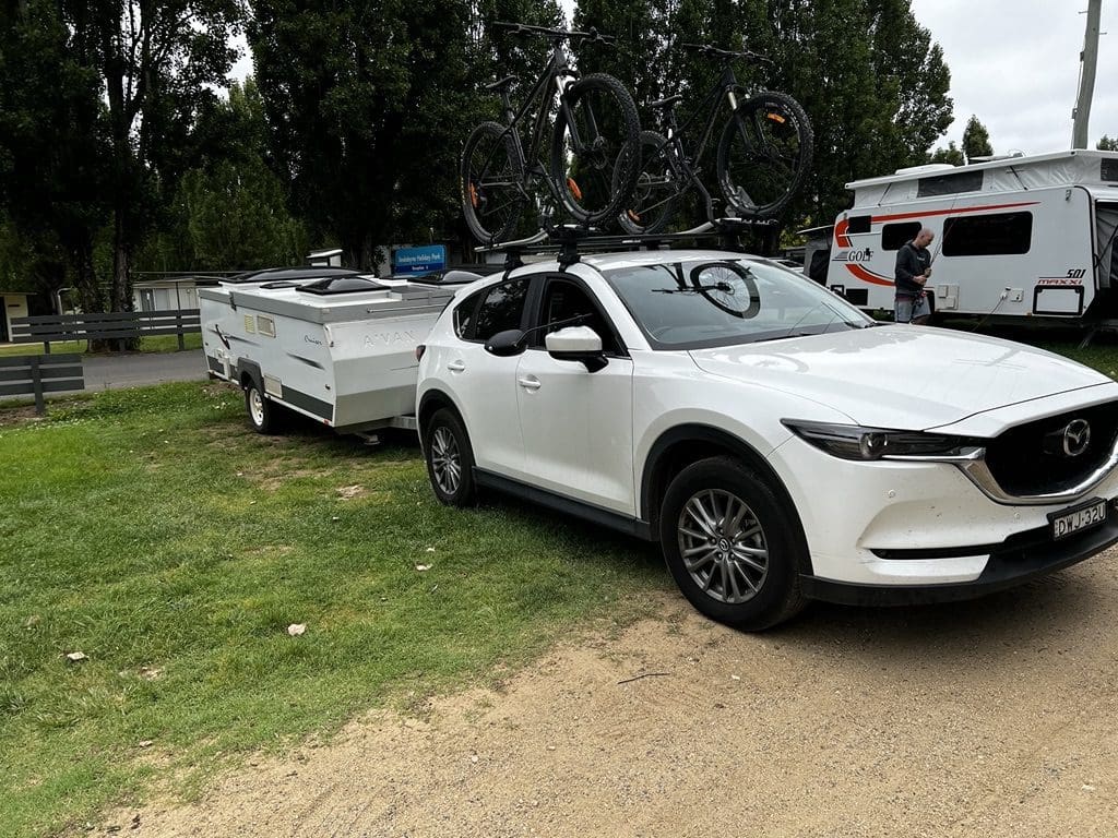
We’ve come over to Jindabyne for a few days in late 2021. We will be in the A-van as the Cubby at Discovery Park no longer exists. We arrived on Saturday 18 December and will be here through to 29 December. The NRMA Park is quite good – very clean amenities and a short walk to Jindy shops (through a gate in the park fence). Lake Jindabyne is as full as we’ve seen it – the cycle track along the lake is covered, many new islands. The reason is that no more water can be put into the Murray (as it is already flooding) and downstream of the Snow is also flooding. Too much water.

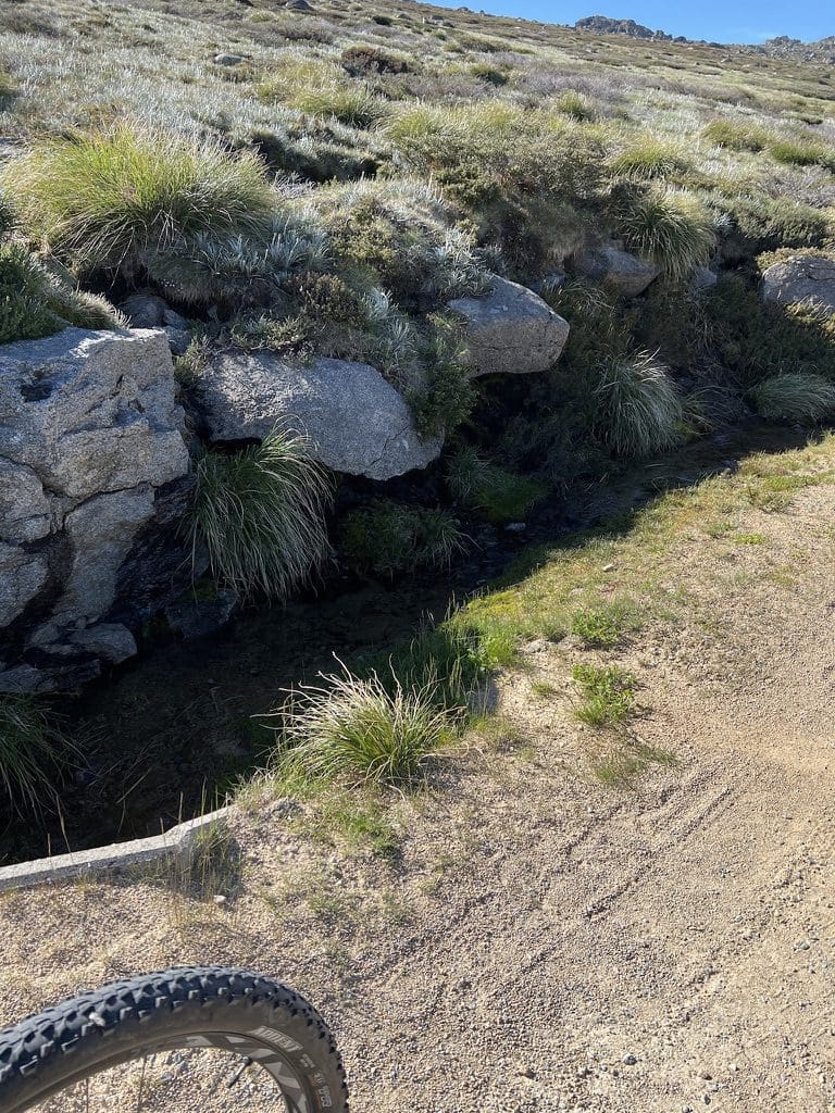
Sun 19 Dec. It rained heavily all day. As the week progressed, we would find that the rain today and yesterday did a great deal of damage to the road – destroying all the roadwork put in over the last couple of years. We think that NSW National Parks had just filled in the previous damage with gravel and sand without working on why the road was destroyed. Of course, with a bit of heavy rain all that gravel and sand was just washed away again.

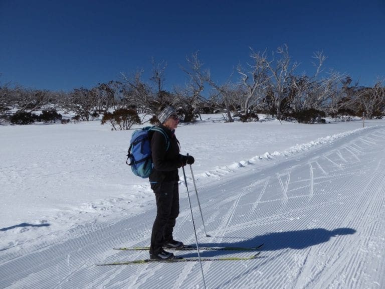
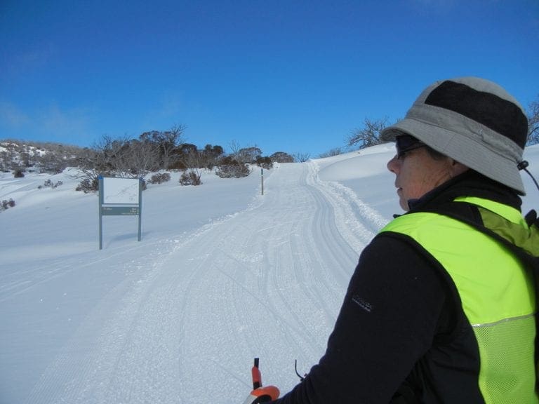
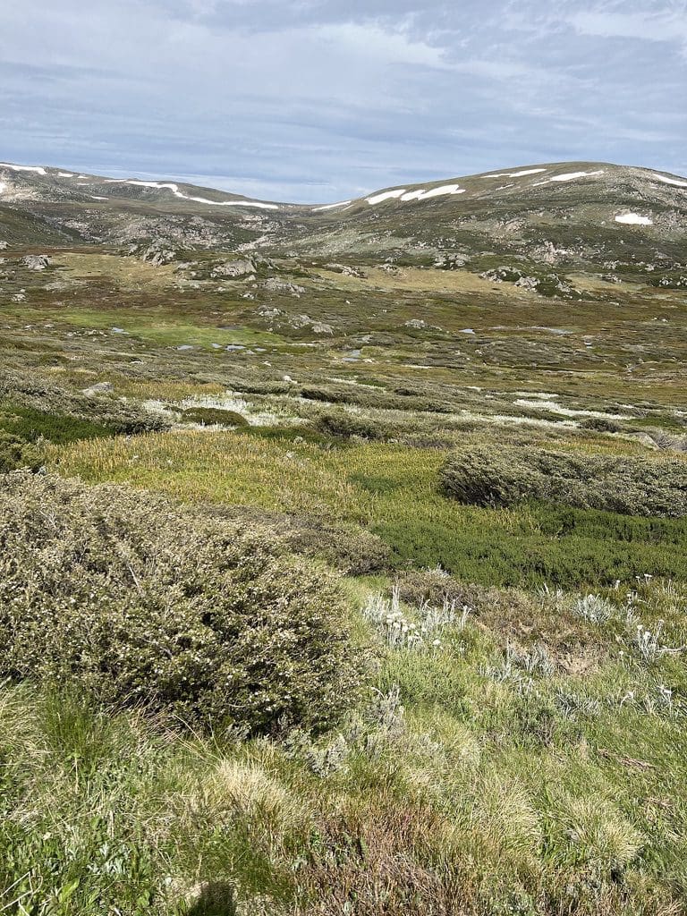
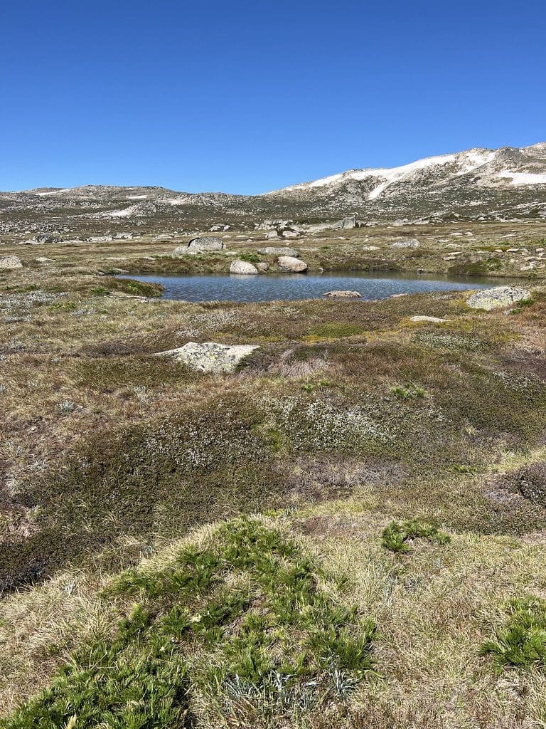
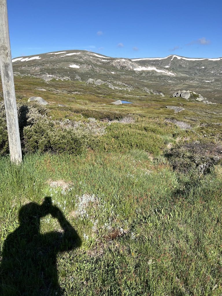
Mon 20 Dec. Very windy and a bit wet. We chose not to ride and walked instead. It turned out to be a difficult walk for us. We are so unfit. We walked just 8 km (4 up and 4 back). Very nice being out in the wind. We had a good look for frog burrows from about the 2km mark upwards – quite a few. Much damage done to the track in the recent storms. 8km

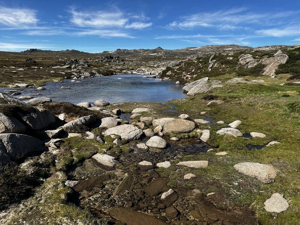
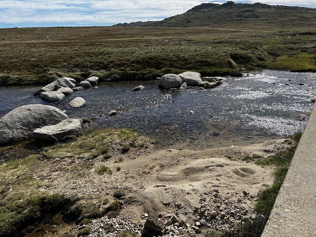
Tues 21 Dec. Windy from Charlottes up – mainly from about 800 metre up. We rode through to just about Snowy River – where wind and lack of fitness drove us back. We worked at keeping our heart rates out of the ‘orange zone’ so as not to exhaust ourselves too much. It is amazing that it can appear calm (no wind) all the way up from Jindy, Perisher and even Charlottes carpark – only to find 50km/hr wind 800 m up the track. 9.7km

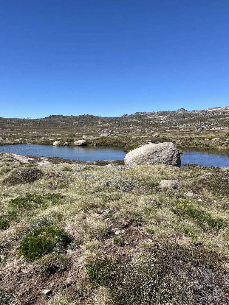
Wed 22 Dec. Windy again. Not quite as strong. We rode up to Seamans Hut. We did not expect to get as far but managed to press on up the last 300m of steep and broken up road. Certainly very pleasant being out although I have a love hate relationship with wind. I delight in being out in it but don’t like having to push the bike against it. 11.8km

Thur 23 Dec. Windy again. Very strong against up up from Snowy River. We got only to the ‘flat spot’ just below the 500 m climb up to Seamans. We did a couple of up and down sections to make up distance. 15km

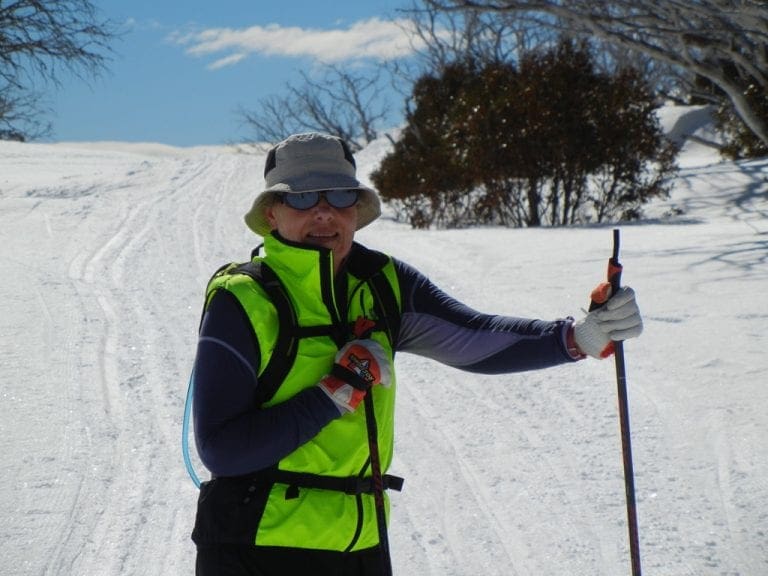
Fri 24 Dec – Xmas Eve. Still windy and unexpectedly so – forecast was 20 k/h, actual was 46k/h. We cycled up past Seamans, well just past Seamans. The road up from the flat spot to Seamans and just beyond is very cut up by recent rains and is difficult to ride – and even harder to come down. Most sections are difficult anyway and the cutup road makes them harder. The wind just made it harder still. I overdid the longest steep section and refused to get off. From then on, I was buggered and only made another 400m past Seamans before abandoning. On the very steep bit up to Seamans, three electric bikes went past us – one not even peddling at all. I’m not feeling too well at all. 12.4 km.

Sat 25 Dec – Xmas Day. Wind much lighter today. I bit wary after yesterday with its bad roads and wind. We think there is little point in going up to Seamans. We rode twice from Charlottes Car Park to Snowy River. A lot of people out today walking and riding to the top. We rode 18km.

Shield Shrimp

When it rains across Australia’s vast inland region, temporary pools crop up all over the arid ground, giving life to a strange desert crustacean known as the shield shrimp (Triops australiensis).

Named after the formidable carapace that shields its head and upper body, T. australiensis can grow up to 7.6 cm long, and it uses its long, segmented tail and mass of 60 or so legs to propel itself through shallow water.

It also breathes through these legs – its sub-class Branchiopoda means ‘gill-legged’ – and in the females these legs bear ovisacs for carrying their tiny eggs.

Several pix in the Photo Gallery and a movie.

Acacia peuce

A rare and endangered plant. The tree grows up to 15 to 18 metres (49 to 59 ft) high, with short horizontal branches and pendulous branchlets covered in needle-like phyllodes adapted for the arid dry climate. It has a distinctive habit more similar to a sheoak or a conifer.

Although speculated to have been widespread across central Australia during wetter climates 400,000 years ago, the population is now mostly restricted to three sites, separated by the encroaching Simpson Desert. In the Northern Territory, the species is restricted to the Mac Clark (Acacia peuce) Conservation Reserve which is surrounded by a pastoral lease, Andado Station. The other two sites are near Boulia and Birdsville in Queensland. The tree is found in open arid plains that usually receive less than 150 millimetres (5.9 in) of rain per annum. They grow on shallow sand aprons overlaying gibber or clay slopes and plains and between longitudinal dunes or on alluvial flats between ephemeral watercourses.


Owen Springs Reserve on Hugh River

Owen Springs was a station on the Hugh River. The Hugh River flows into the Finke (when it actually flows). Both cut through the Western MacDonnell Ranges. The image above shows Owen Springs Reserve as a dot at lower right. The river it is next to is the Hugh. Hermannsburg, our next town, is near middle left edge. Hermannsburg is almost on the Finke River. You can see both Hugh and Finke Rivers cutting through sections of MacDonnell Ranges.

Palm Valley

Palm Valley is within the Finke Gorge National Park southwest of Alice Springs. Palm Valley has a smallish population of Red Cabbage Palms (Livistona mariae). The nearest related species is 850 kilometres away in Katherine NT. The average rainfall for Palm Valley is just 200 mm per year. Small pockets of semi-permanent spring-fed pools allow the unique flora and fauna (desert fish, shield shrimps tadpoles and frogs) to survive.

It had been assumed that the cabbage palms were remnants of a prehistoric time when the climate supported tropical rainforest in what is now the arid inland of Australia. Genetic analysis published in 2012 determined that Livistona mariae at Palm Valley is actually the same species as Livistona rigida from samples collected near Katherine and Mount Isa, both around 1,000 kilometres (620 mi) away. It is now thought that aboriginal people brought the palms to here from Mataranka.

Mound Springs

Mound Springs occur around the Western edge of the Great Artesian Basin and represent a natural discharge of Artesian water that was captured many hundreds of kilometers away from rain falling along the Great Dividing Range and New Guinea. This article provides details. Dalhousie is an excellent example of a mound spring.

Great Artesian Basin map Great Artesian Basin diagram