Western Australia 2019 trip – week 2
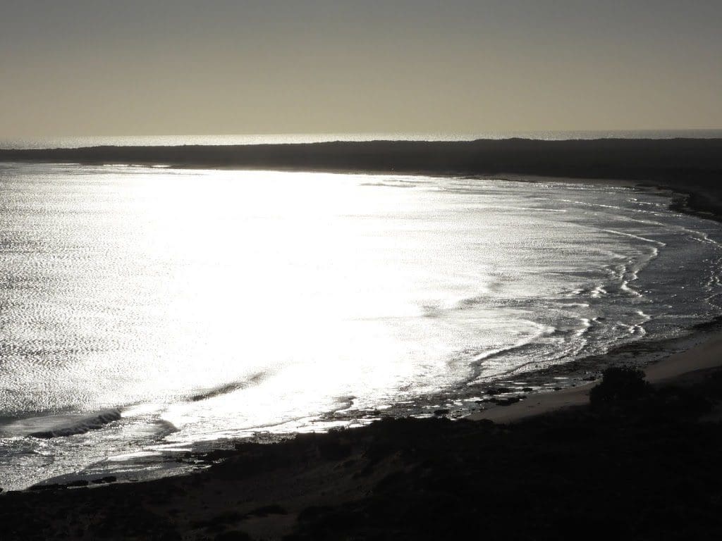
Wednesday 4 Sep 2019 Day 8. A day of coastal adventures. First, we drove up to the lighthouse for a view of yet more whales (and Bill’s boat – Bill is our chef for this trip – in real life he is chef on a oil extraction ship just off this coast). Good light.
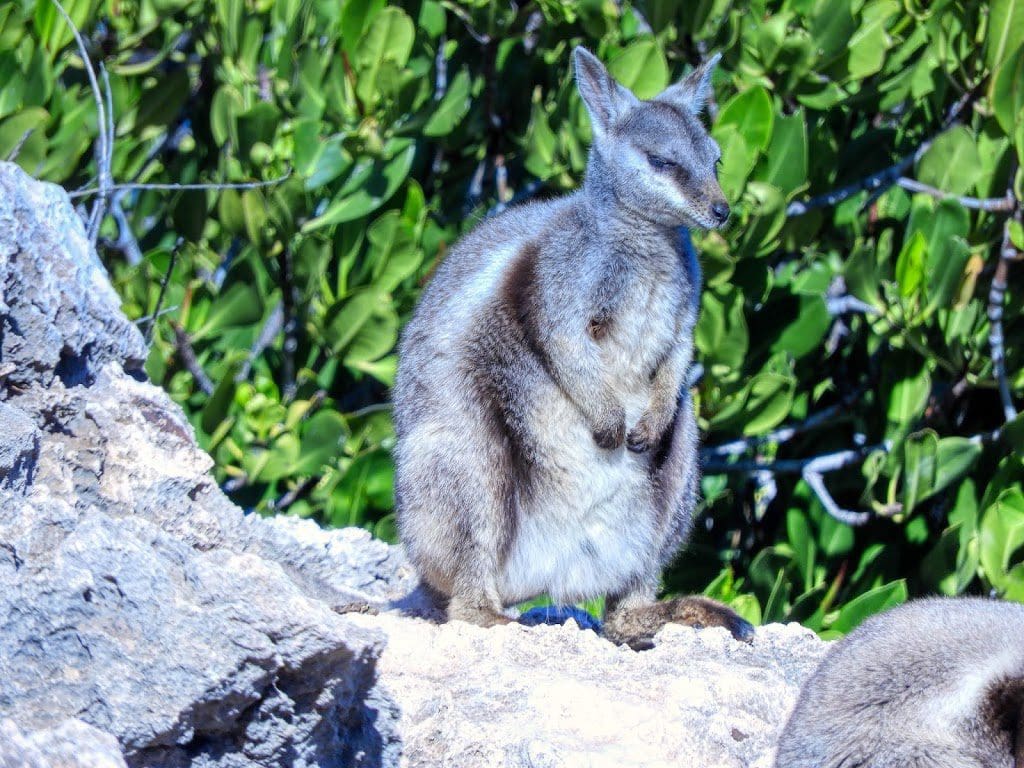
Then, south on the coastal side of the Cape Range to Yardie Gorge for a walk along the only creek flowing out the the Cape Range. (I’m surprised that there are any creeks as this is limestone – most creeks dive underground as soon as they can.) Some of the limestone looks very recent as it has very clear coral structures visible. A few pretty-faced wallabies.
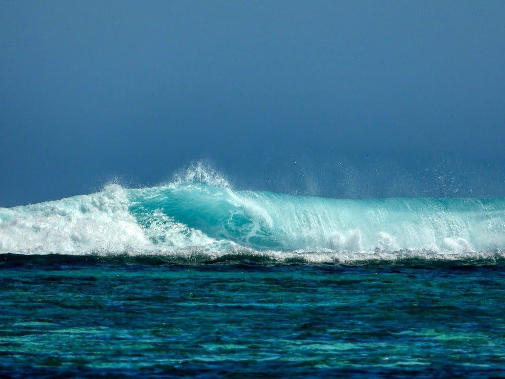
From there we drove north again to Turquoise Bay where there is an excellent snorkeling beach with a strong current that takes swimmers parallel to the beach. (Helen and I did not go in.) We could see many fish having to swim strongly against the current just to stay in place.
From there we went further north to the ‘Discovery Centre’ where we had lunch.
Then further north to Jurabi Point where there is a display on turtles – which hatch along this part of the coast.
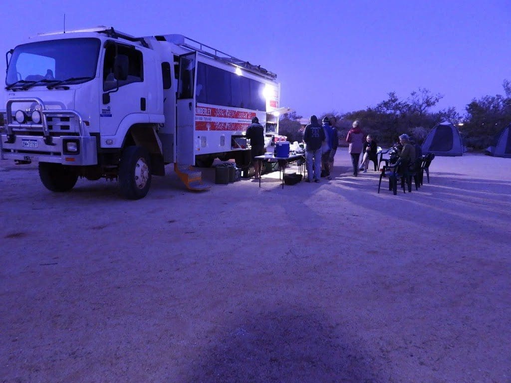
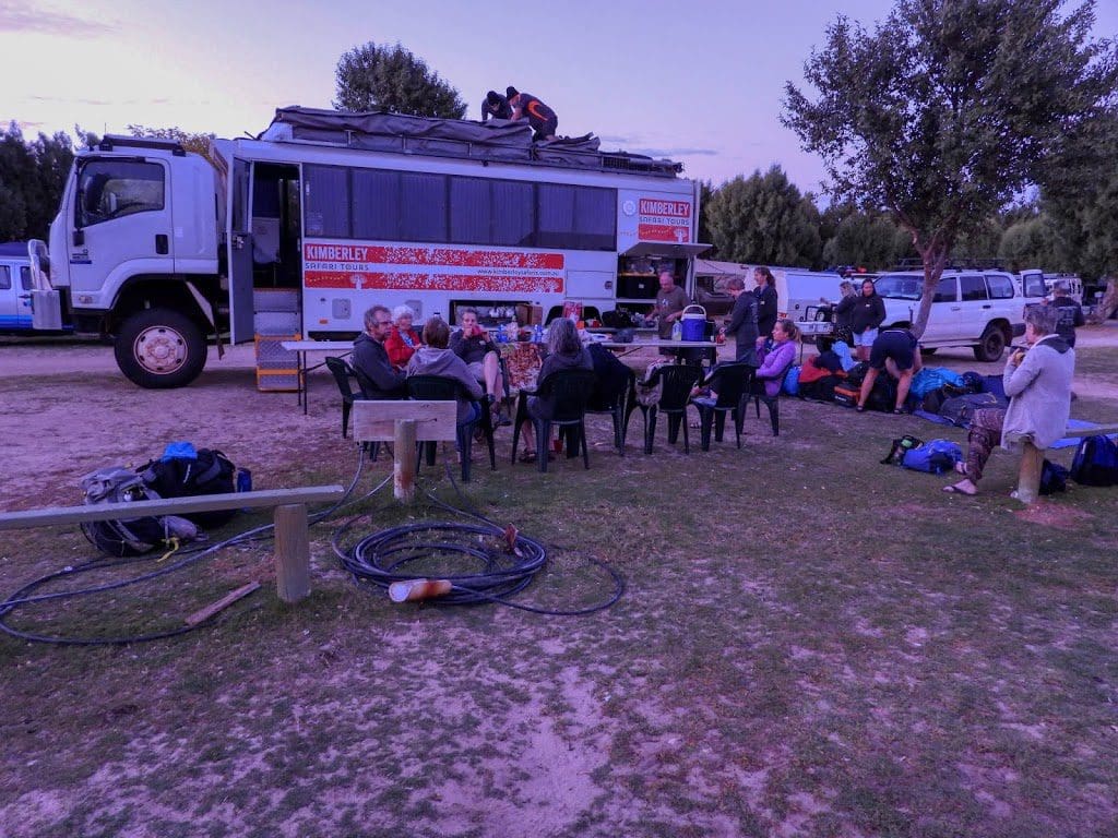
Then, back around the north end of the Cape Range (past the lighthouse again) and south along the east side of that range through Exmouth to our new place for two nights – Coral Bay We are in a huge campground and it is windy. It has been windy for a few days. Our little tents appear to do quite well in a strongish gale – especially if we leave the fly off.
Thursday 5 Sep 2019 Day 9. As it has turned out, a day off for us. We had booked in for a Manta Ray Tour, but now realise that snorkeling and replacement knees don’t mix. So, I’m taking the chance to charge stuff and relax a bit.
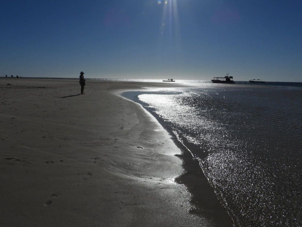
Coral Bay is a delight. A beautiful sheltered bay. Many activities available – some are actually free.
The wind eased during the night and is now down to a gentle breeze.
I had been taking pix of the small stingray in the movie below for quite a while. Suddenly, it began swimming rapidly towards me.
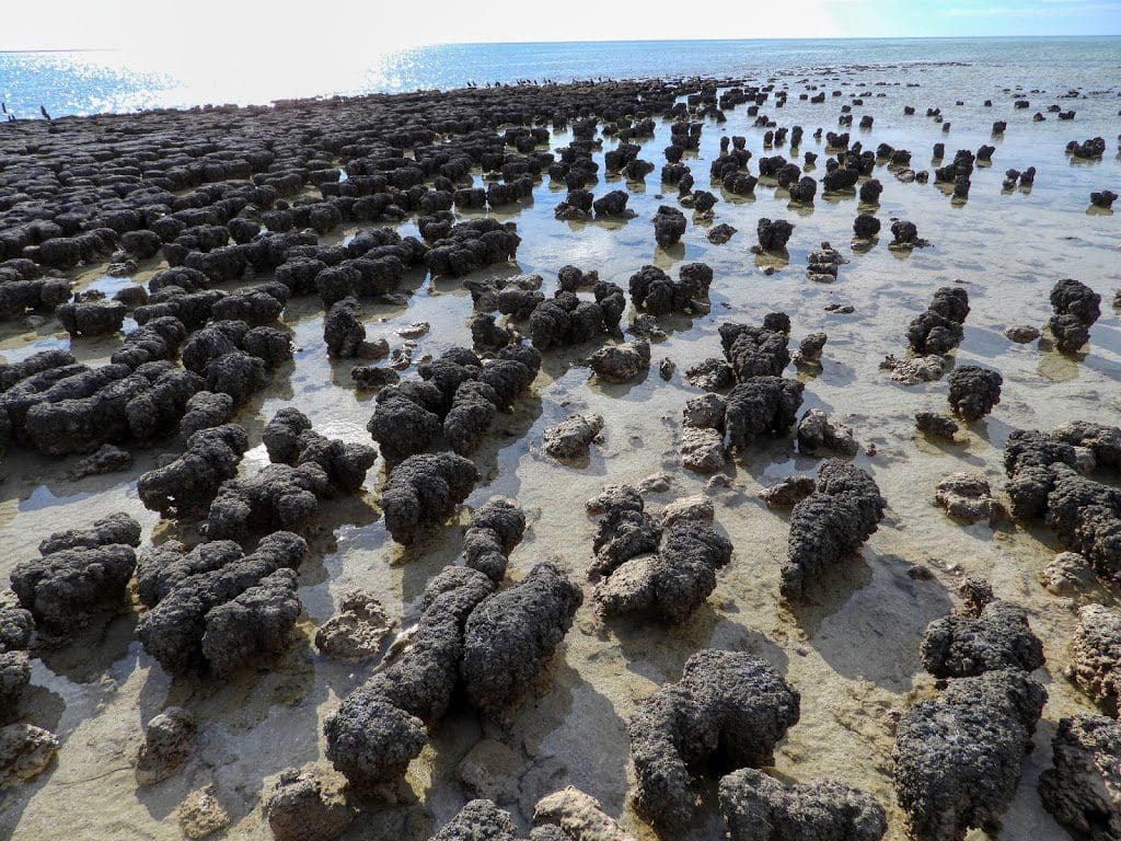
Friday 6 Sep 2019 Day 10. A 480 km drive to Hamelin Pool where we viewed stromatolites – an ancient blue-green algae that has been around for 2,000 million years. I believe that stromatolites are our earliest recorded life forms. I think it is extremely exciting to see a life form that has been around, unchanged for 2 billion years (Happy birthday to you!) having avoided all the extinction events that at various times wiped out 80-90% of all living things. Stromatolites live on!
A stop at Carnarvon where we visited the Space Centre and had lunch.
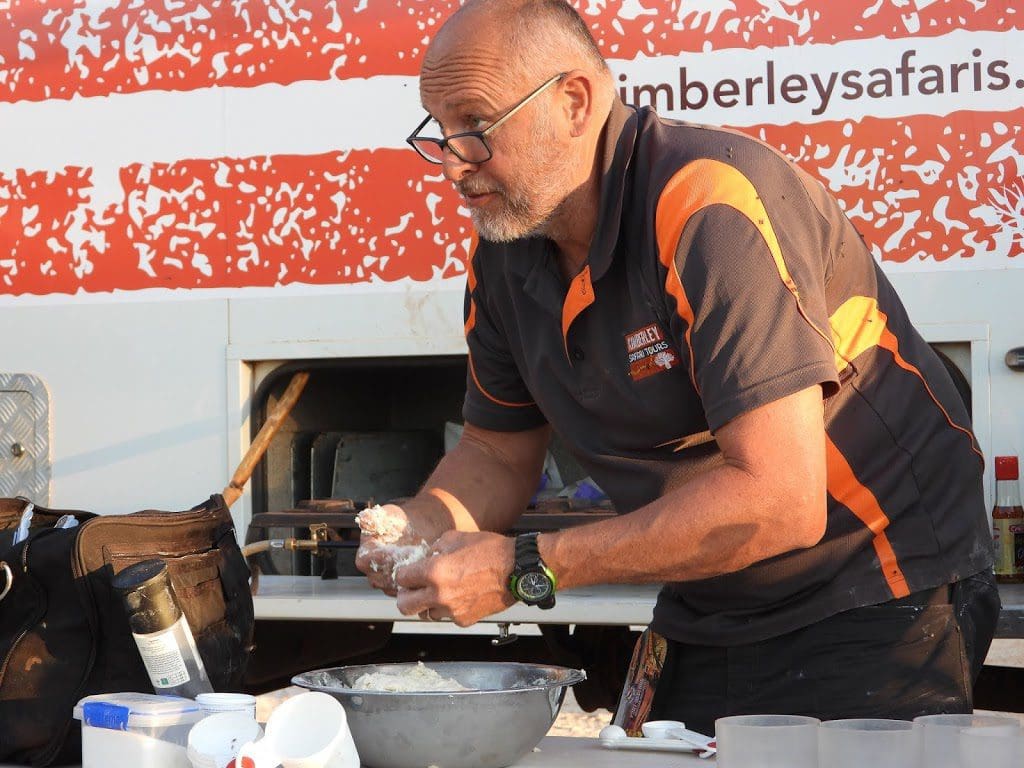
Tonight, we are camped beside a shearing shed at Hamelin Station – a Bush Heritage Australia property. A tad windy and quite a few flies. Dirk Hartog described this area as the fly capital of the world. Clearly, he had not been to Poeppel corner – which, when we were there a few months ago, had too many flies. As I sit typing this, I look over at the people cutting up dinner for tonight. A constant set of hands waving off flies. We are having another camp oven dinner tonight. Yummm!
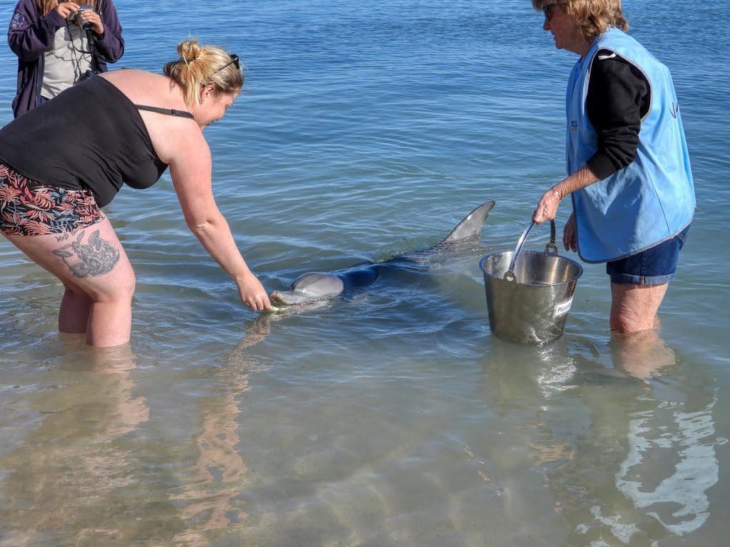
Saturday 7 Sep 2019 Day 11. Early start to get to Monkey Mia to see the dolphins come in. These days they only have three ‘dolphin experiences’ a day. The first is about 7:45am. These ‘experiences’ are when the dolphins come in to the shore, guides give a bit of a spiel, volunteers come into the water with a bucket with a few fish, people are called from the crowd on the shore to give a dolphin a fish.
After a few fish, the dolphins have had enough and head away from the shore and the ‘experience’ is over. (Feeding is very restricted so that the dolphins do not become dependant on the free food.) We saw two such ‘experiences’.
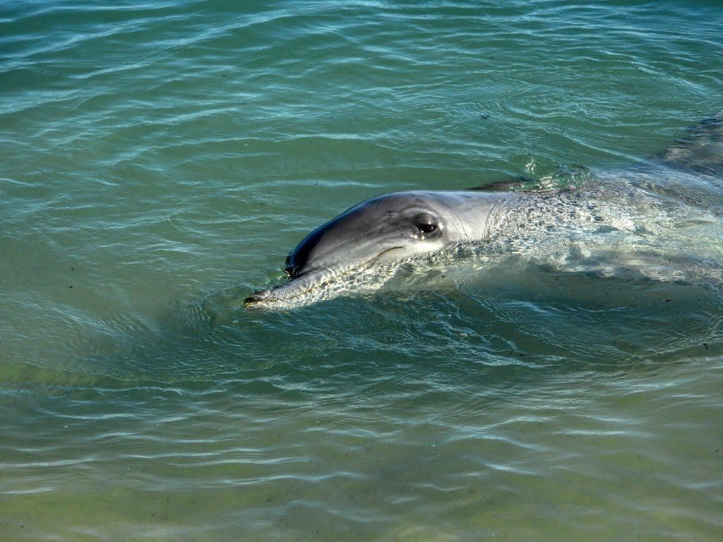
The movie below shows those ‘experiences’. Notice that the dolphins swim sideways so that they can see above water. They can’t move their necks.
From there, we headed into the Francois Peron National Park to visit a hot springs – where we had morning tea. Good birding.
Then to Denham (excellent Discovery Centre with very good panels explaining what we have been seeing) where we had lunch.
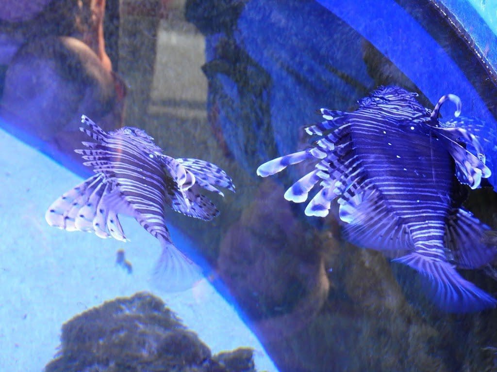
From there we went to Ocean Park Aquarium for an excellent tour around their many aquaria. One of the more interesting of these aquaria that we have been to. Definitely worth it. Angel Fish to left.
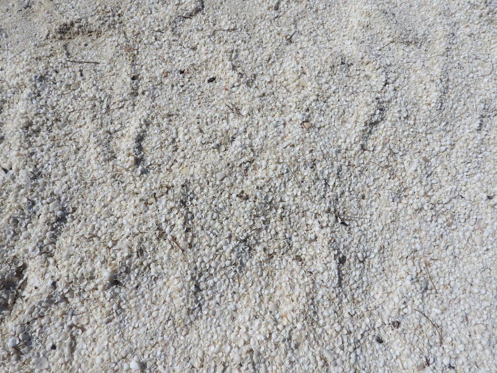
Our last stop for the day was Shell Beach where, because of very high salinity, a small mollusc is almost the only life form. There shells have built up to 9-10m deep over about 60km. Sections of this have solidified into rock and are mined as a building block material. Extraordinary. The salinity has built up after a very shallow platform formed in the last sea-level rise about 30,000 years ago. Seagrass formed on the outer edge which prevents water egress from the shelf (called the Faure Sill). There is very little precipitation. This combination has really increased the salinity along this coast.
Sunday 8 Sep 2019 Day 12. A good night’s sleep and an early start. Last night was our last night in tents, so we had to make certain our tents were clean and especially free of moisture – so they will not rot. We went for a short walk to be picked up by the truck.
We drove to Kalbarri, along the way stopping at four gorges where the Murchison River has cut down through Ordovician sandstone. It was quite hot and I did not walk much. The first two were Hawks Head and Ross Graham Lookout. The last two gorges were Z-bend and Natures Window.
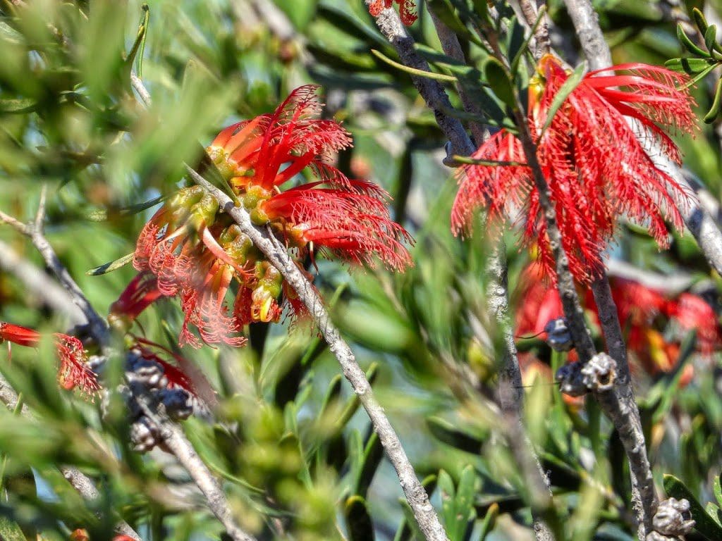
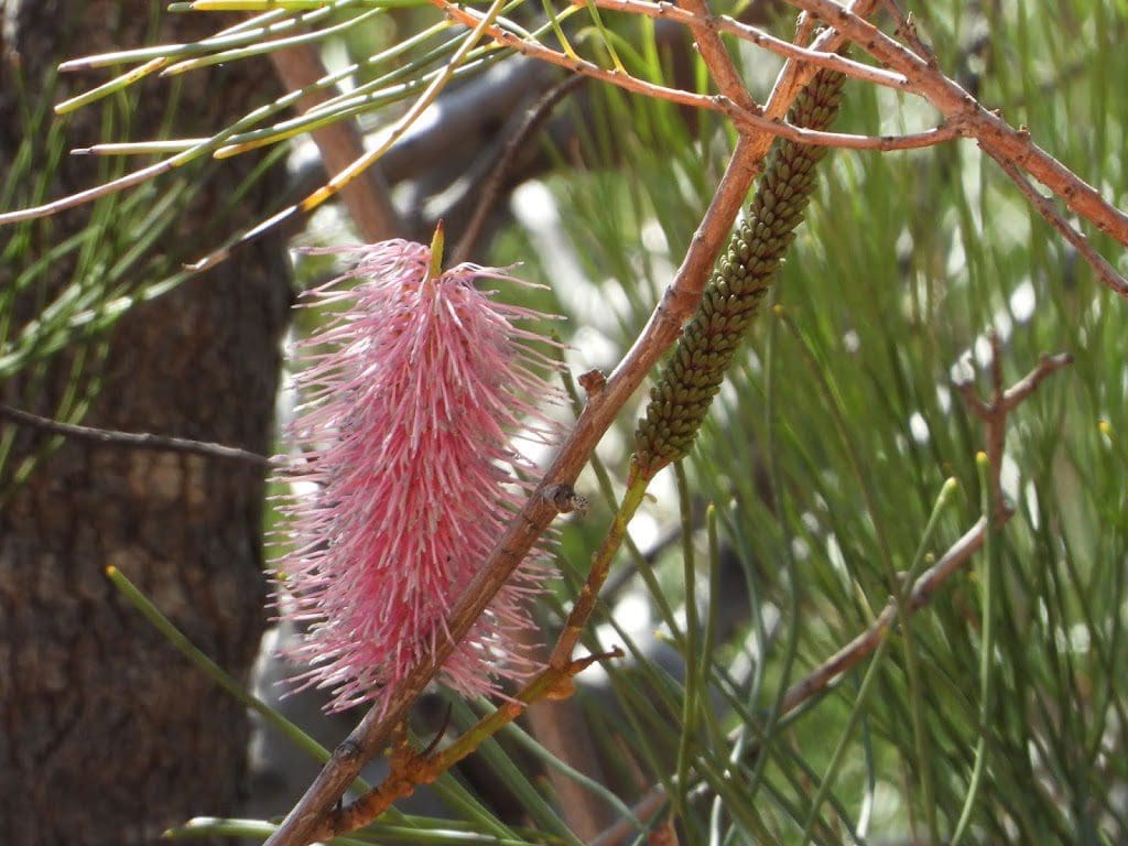
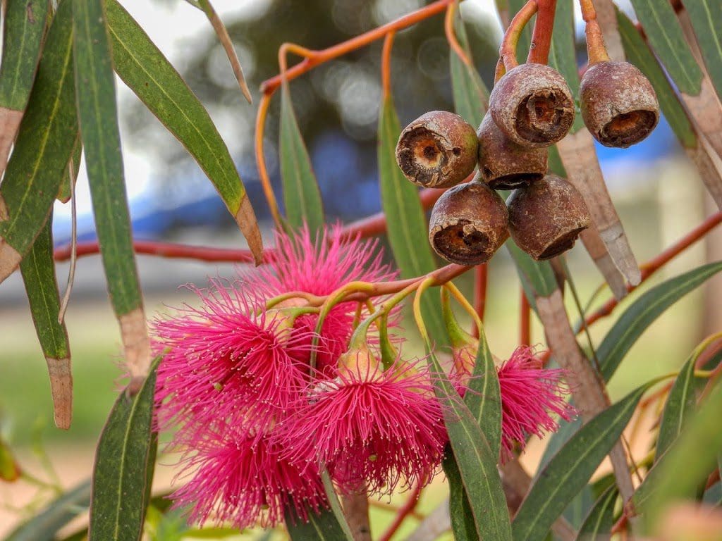
Quite a lot of wildflowers – despite the lack of recent rain – and we took quite a few photos.
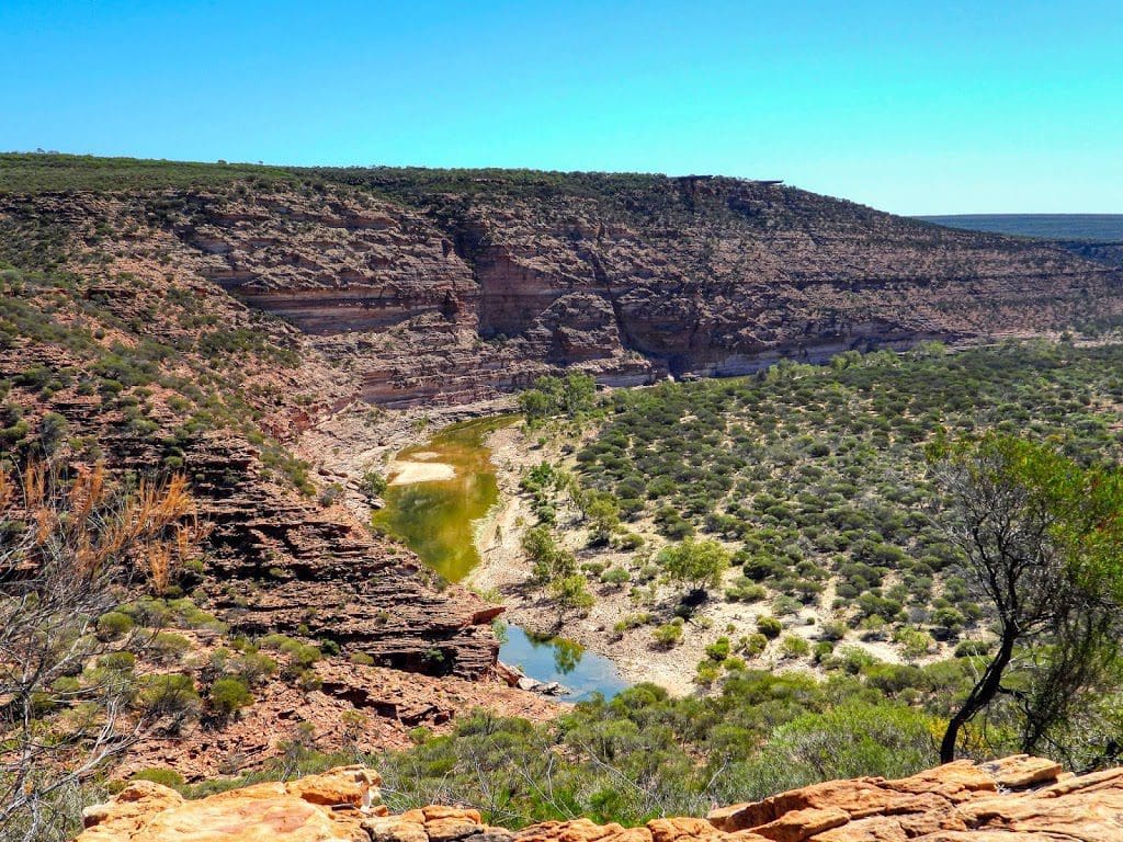
Natures Window views a huge meander that the Murchison has cut down through the 540 million year old Ordovician sandstone. These give spectacular view into the meandering Murchison. My question is how it meandered and cut through the sandstone? Meanders usually only happen when the waterway is flat. Did the Murchison cut down while the land was rising?
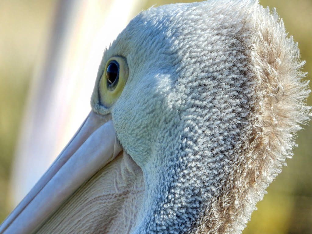
Monday 9 Sep 2019 Day 13. A very lazy day. We went down to see the pelicans being fed at 8:45 and then joined our river cruise at 10am. The two hour cruise in a flat bottom boat along the Murchison River was excellent.
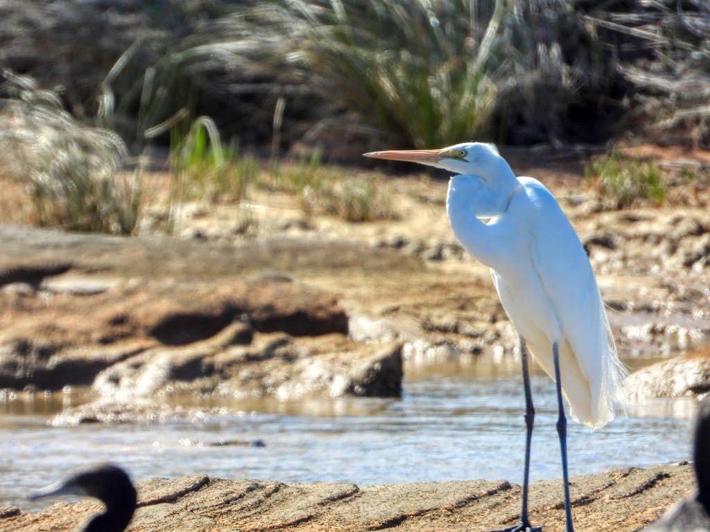
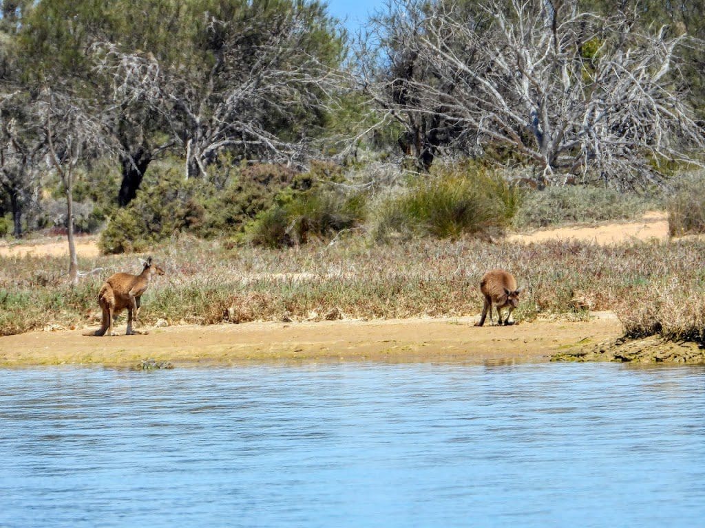
Quite a few water birds, kangaroos and a few sea eagles. A delightful commentary from our guide Grant.
Helen and I are in a villa with four others from our tour. Much laughter. As I write this the rest of the group have gone on a ‘cliff top drive’. We’ve elected to have a bit of time off.
Today is the last day before the long drive down to Perth. We are beginning to work out the logistics of packing the truck in preparation for being set down, with our gear, on the side of the road in peak hour traffic at our accommodation in Perth.
Tuesday 10 Sep 2019 Day 14. A long drive today – about 600km – interspersed with pee stops, fuel stop, morning tea and lunch stop. We got away just before 7am and began in a light sea mist. Almost immediately after leaving Kalbarri, the vegetation changed and we had our first cultivation – wheat. During the drive, we were mainly on the sand dunes of the coastal area and the vegetation changed with every shift of sand/soil type. Many types of heath, grassland and, just before Perth, our first actual trees for many km.
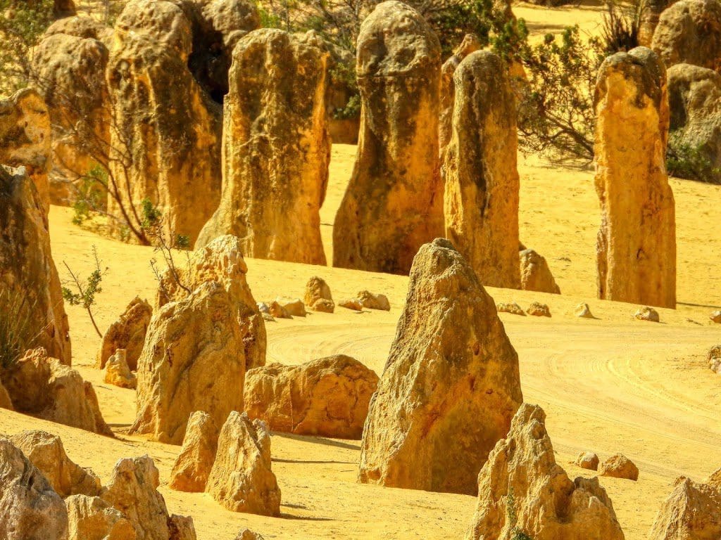
The only stop for the day was at The Pinnacles – upright separate pieces of limestone that were recently exposed after a covering sand dune was removed by wind.
Two types of sand dune are operating in the area – a very white silica sand dune and a yellow one. The yellow one is made up of some silica with several other similar sized gains.
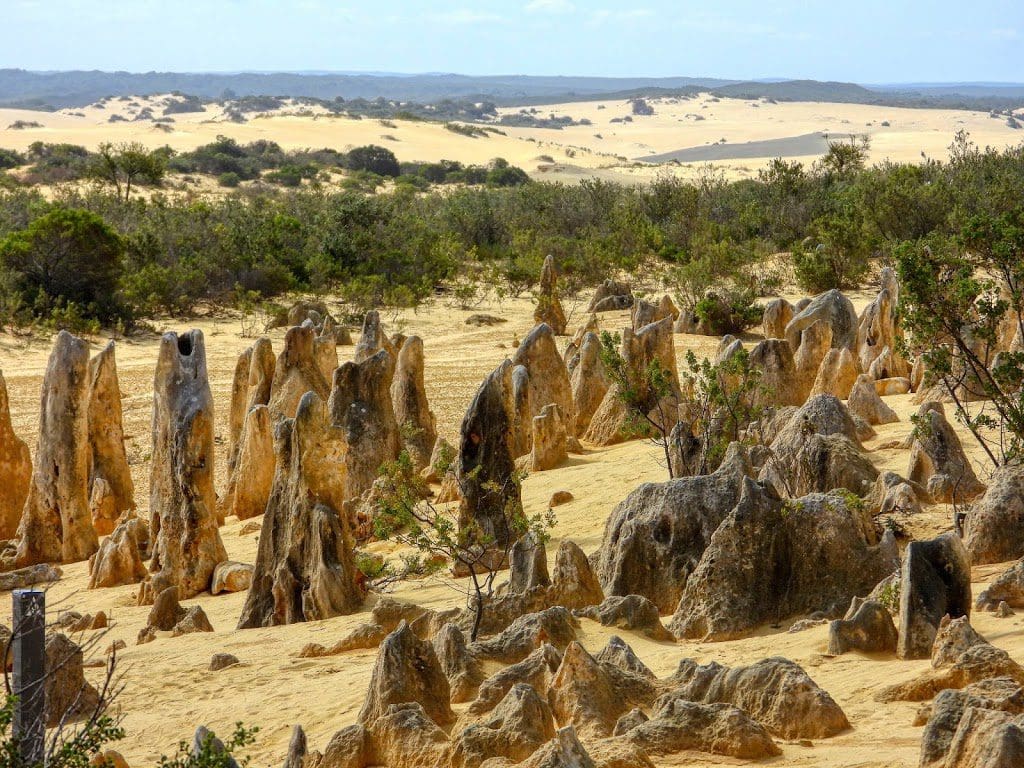
The current theory is that trees growing in the yellow sand somehow converted it to limestone which was exposed when the sands were recently blown off to expose The Pinnacles – some of which are showing a Karst surface.
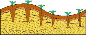 |
| Formation of the Pinnacles |
From there we finished our drive to Perth and were let off at Perth YHA where we are for 2 nights.
That marks the end of our adventure with Kimberley Safari Tours, another magical mystery tour comes to an end. 4,000+ kms, 13 nights, 14 days. Camping for 11 nights – 10 without a fly over the tent. This was an excellent trip. We had a great time. Having said that, we are all a tad tired. It is a long way. I have to compliment Kimberley Safari Tours on everything about the trip. The itinerary is excellent, the side trips and optional tours are well thought out, they work extremely hard to make everything work for everybody, the camping equipment is good and easy to use, if anything there is too much good food. However, 4,000 km is just a long way.
Here is a slideshow of my photos of birds of WA. A goodly number of them from this trip. Mouse over and choose the fullscreen button (top right) for full effect.
For the next 3 weeks we will fending for ourselves.