
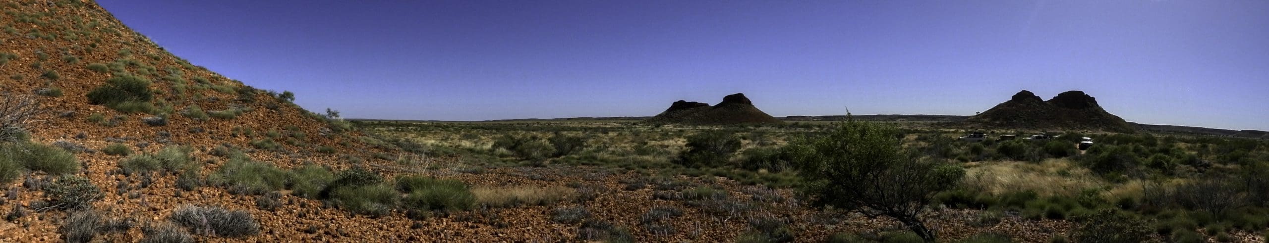
I’ve put the simplified Tectonic Geological Map at the top because Geology determines landforms, soil types and vegetation. Our trip took us north from Perth in the SW roughly in a diagonal line to the Rudall Province just a bit north of the centre of the map. We therefore crossed the Yilgarn Craton and the Capricorn and Paterson Orogens. Both of which would have been huge mountain ranges, of which little surface features remain.
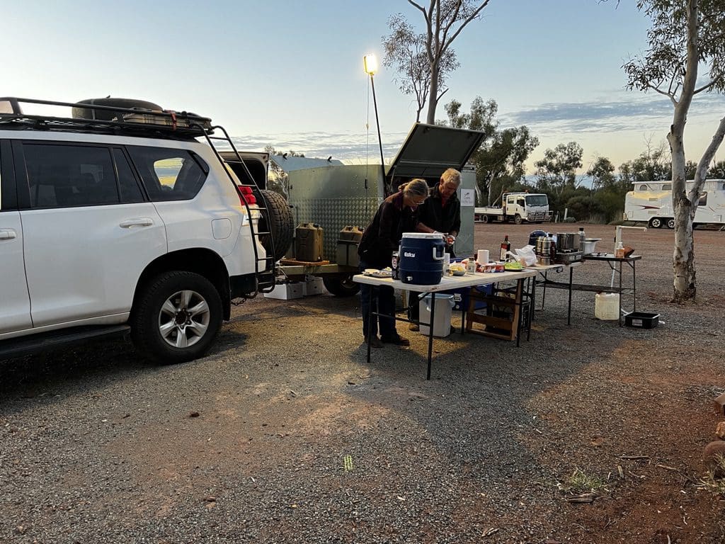
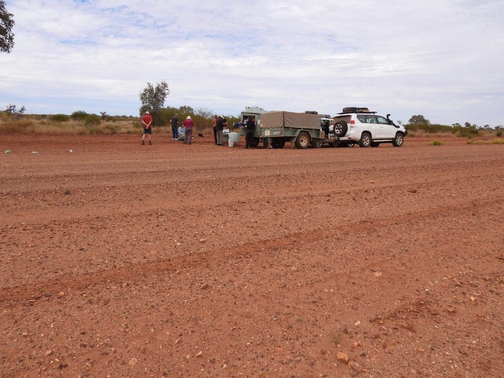
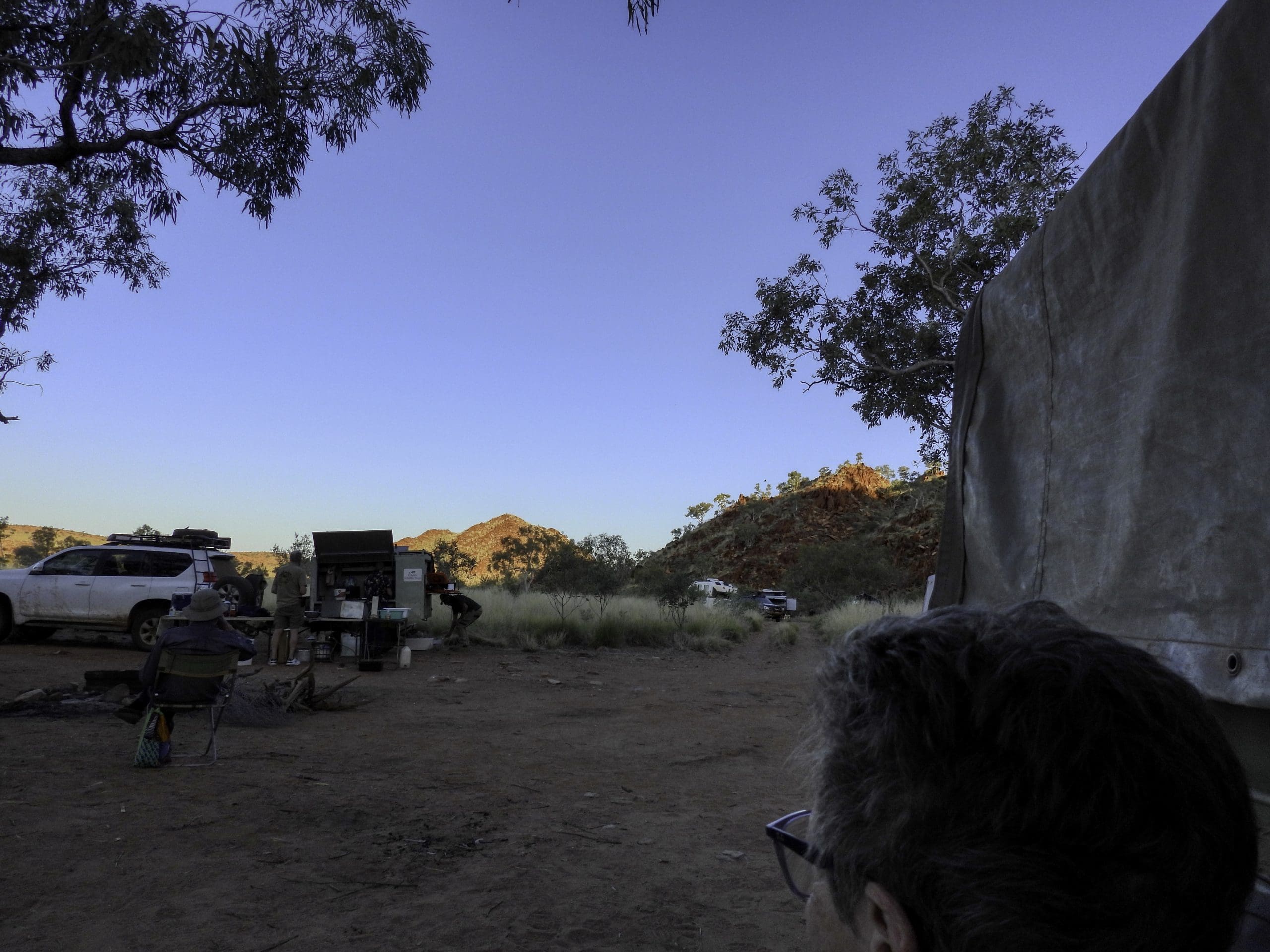
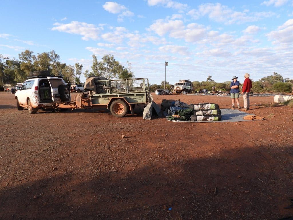
Day 1 Coates Tour. Wednesday 7th September 2022. Up at 5:30 for a rapid breakfast and left our room at 6:30 for our 600m walk to our pick up place. Second compulsory RAT to get on the Tour. We are six guests in two Toyota Land Cruisers with two drivers. Departed by 7:30 for our long drive north. Mostly wheat belt county with some wild flowers on road verges. The further north we went, the dryer it got with more red dirt between shrubs. Occasional outcrops of laterite and highly weathered granite. We were driving over the Yilgarn Craton for most of the day. Camp site Kirkalocka about 100km south of Mt Magnet. Bird and plant listed checked every night. Very noisy all night because we were so close to the highway and very cold overnight.
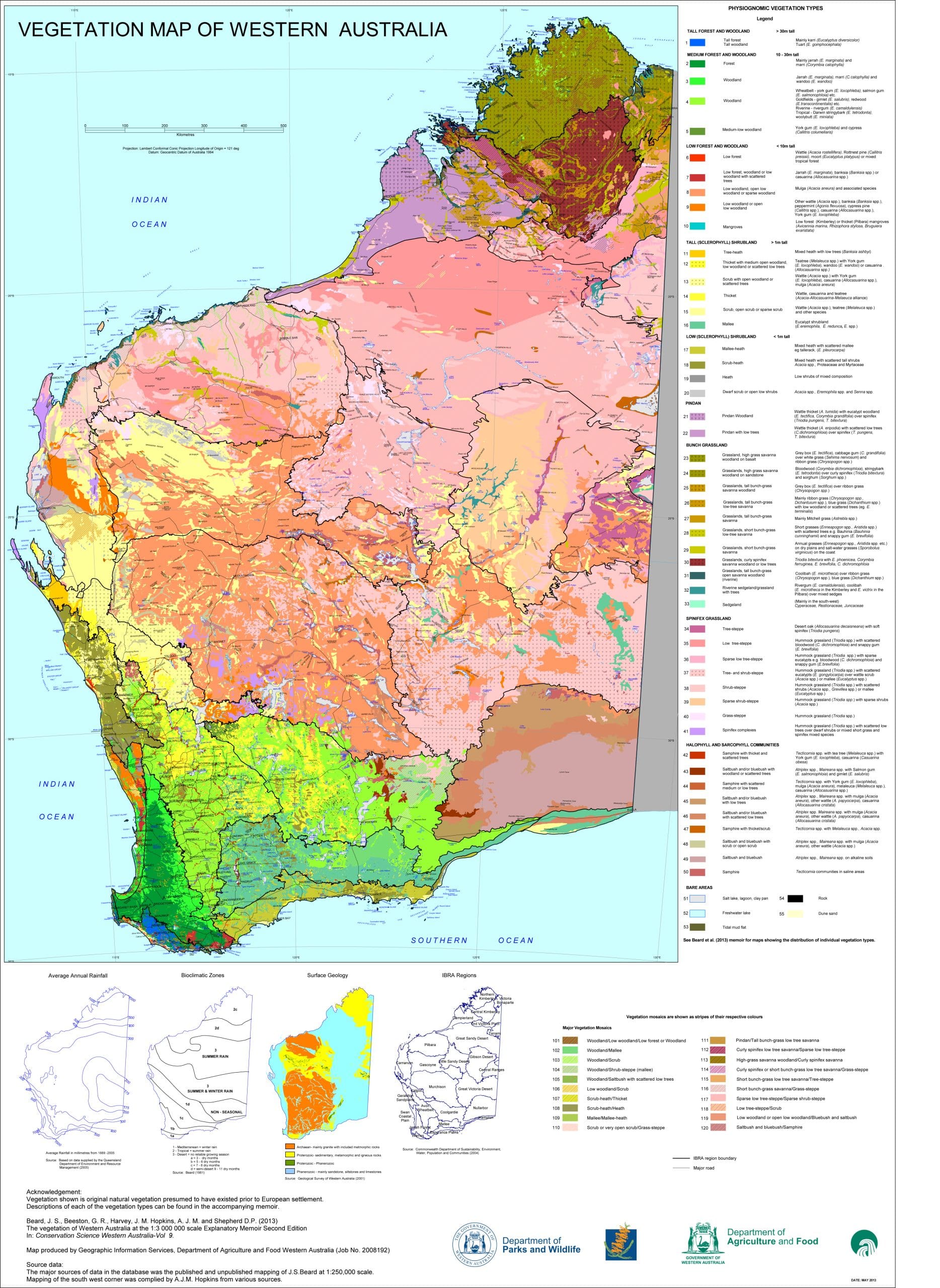
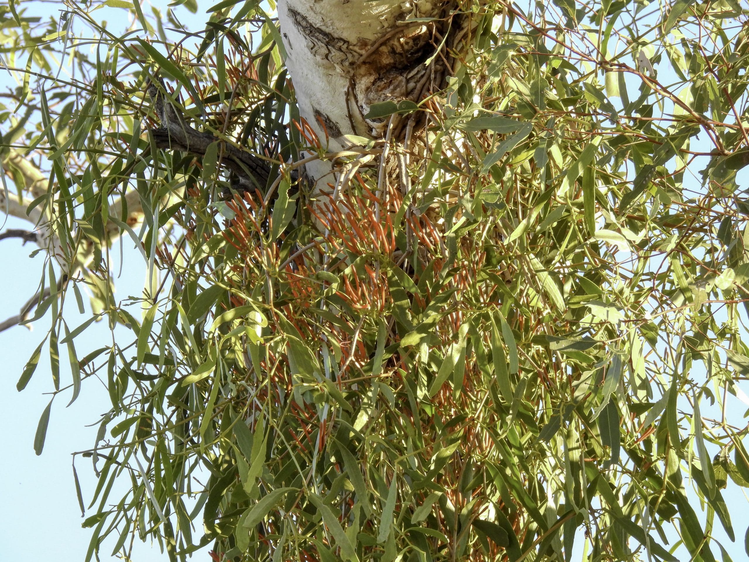
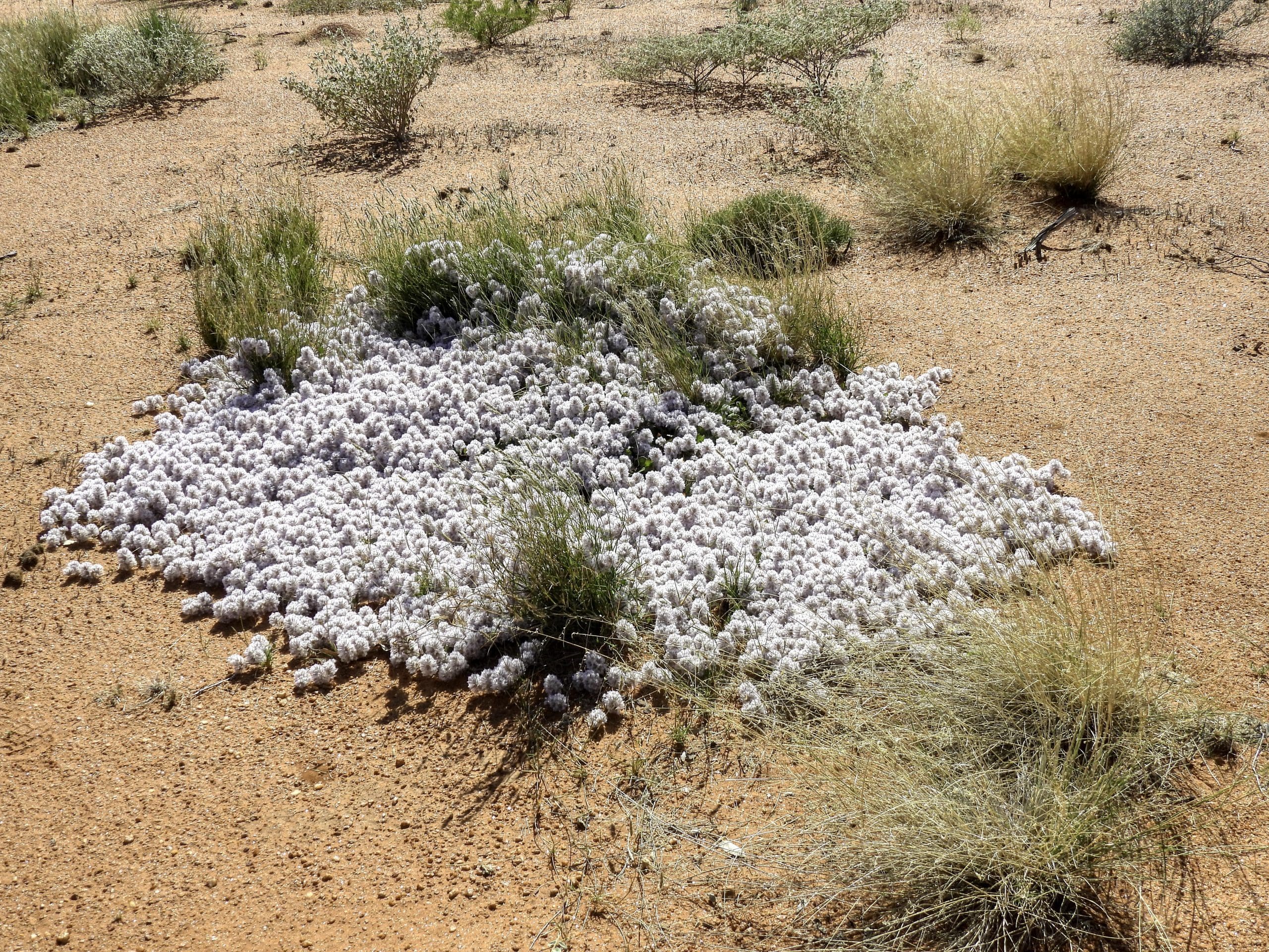
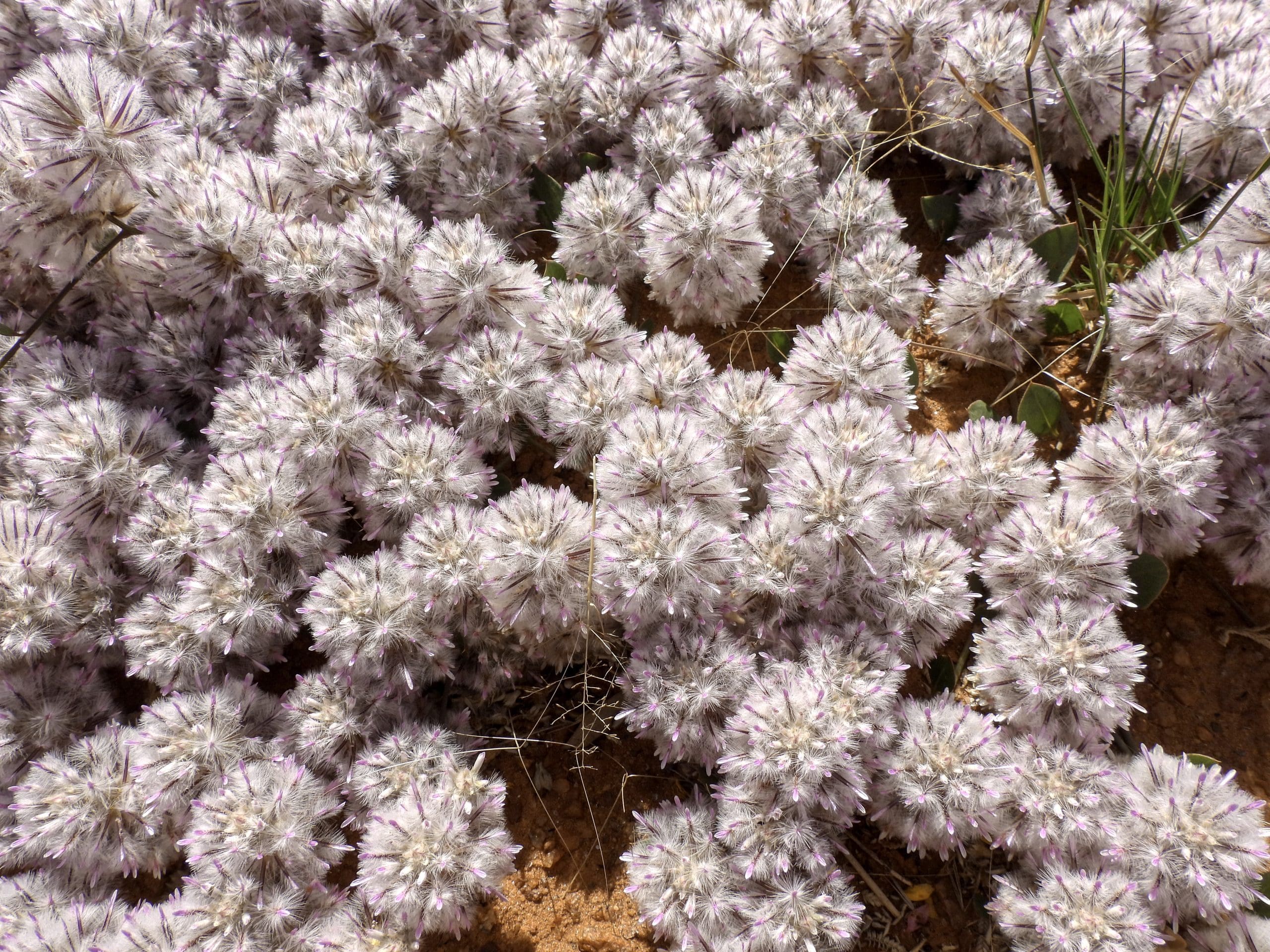
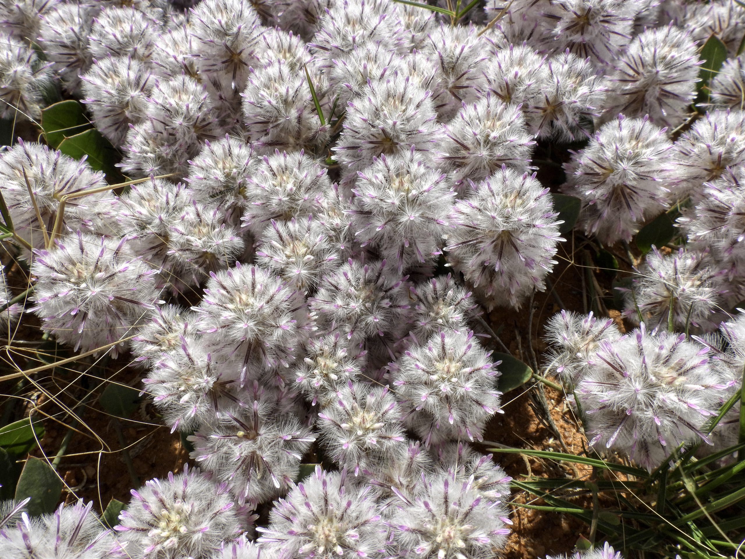
The above map is the Baird Vegetation of Western Australia Map. I’ve put it here because we will spend so much time looking at vegetation – sometimes very closely, sometimes only as we drove through it. You can see that it changes rapidly from place to place – often with a small change elevation (maybe just a metre) or with a change in soil type (sand to clay) in the regolith.
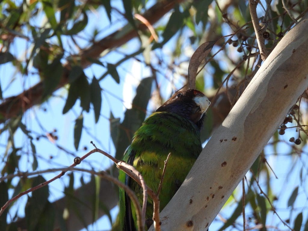
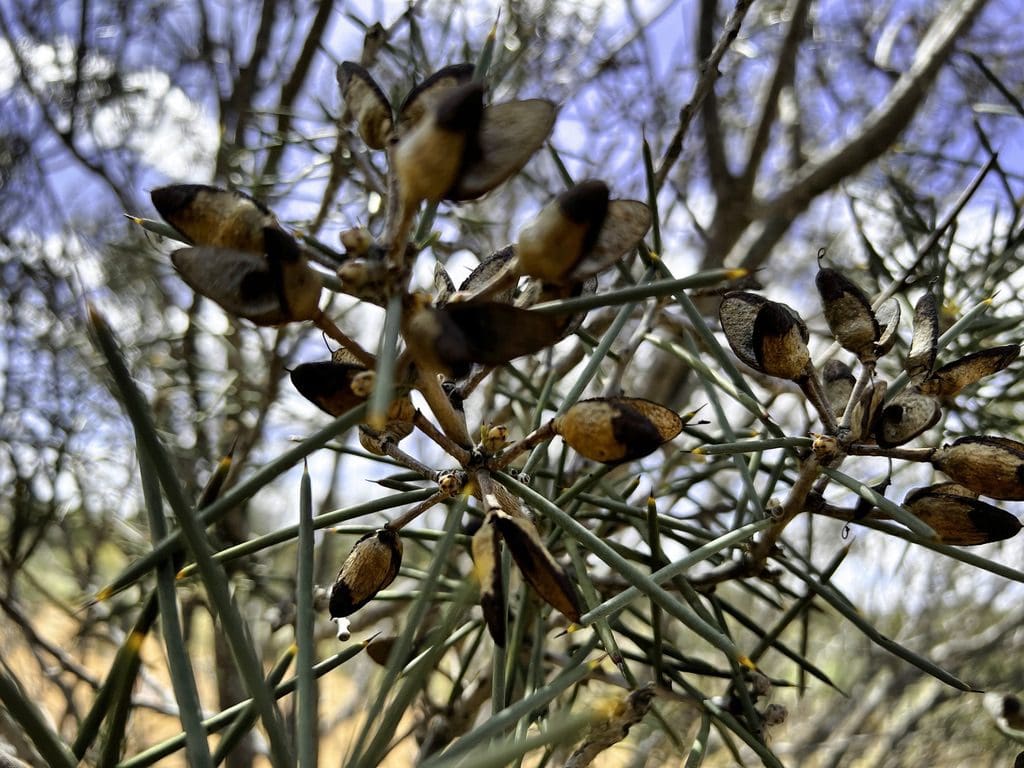
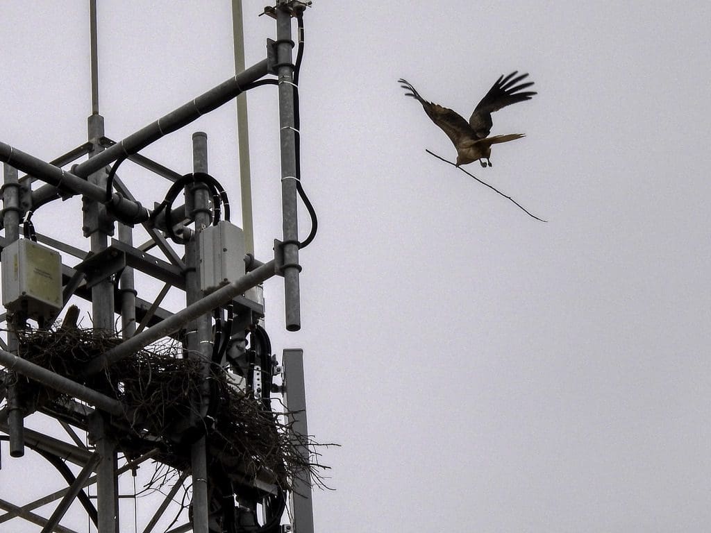
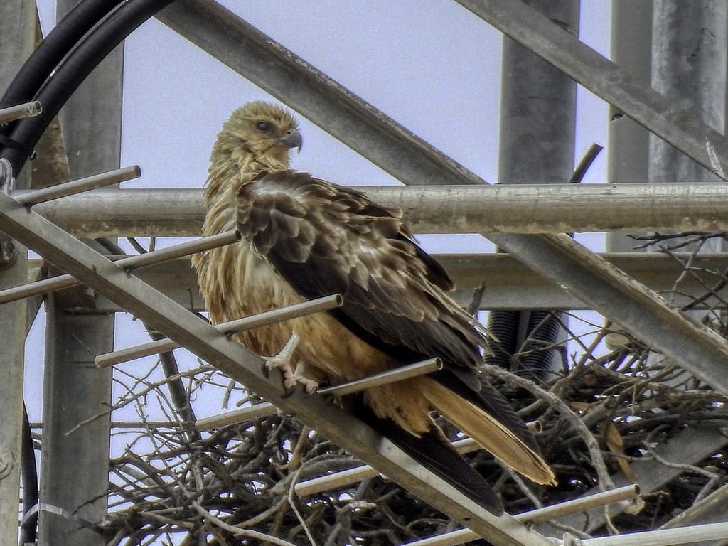
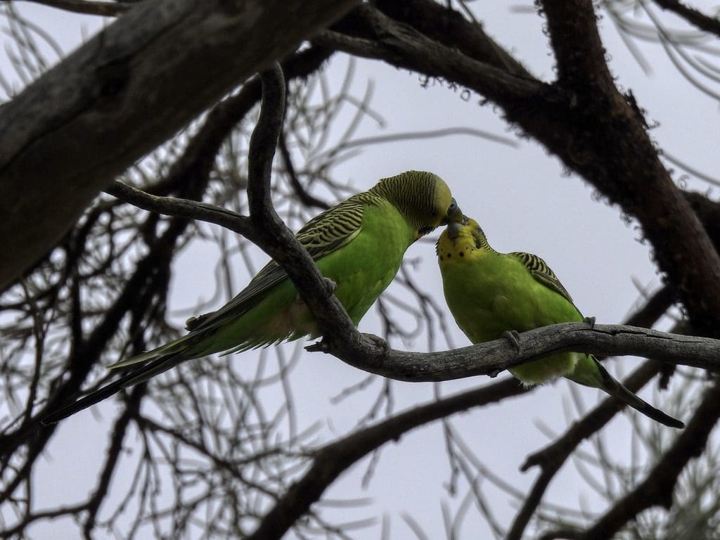
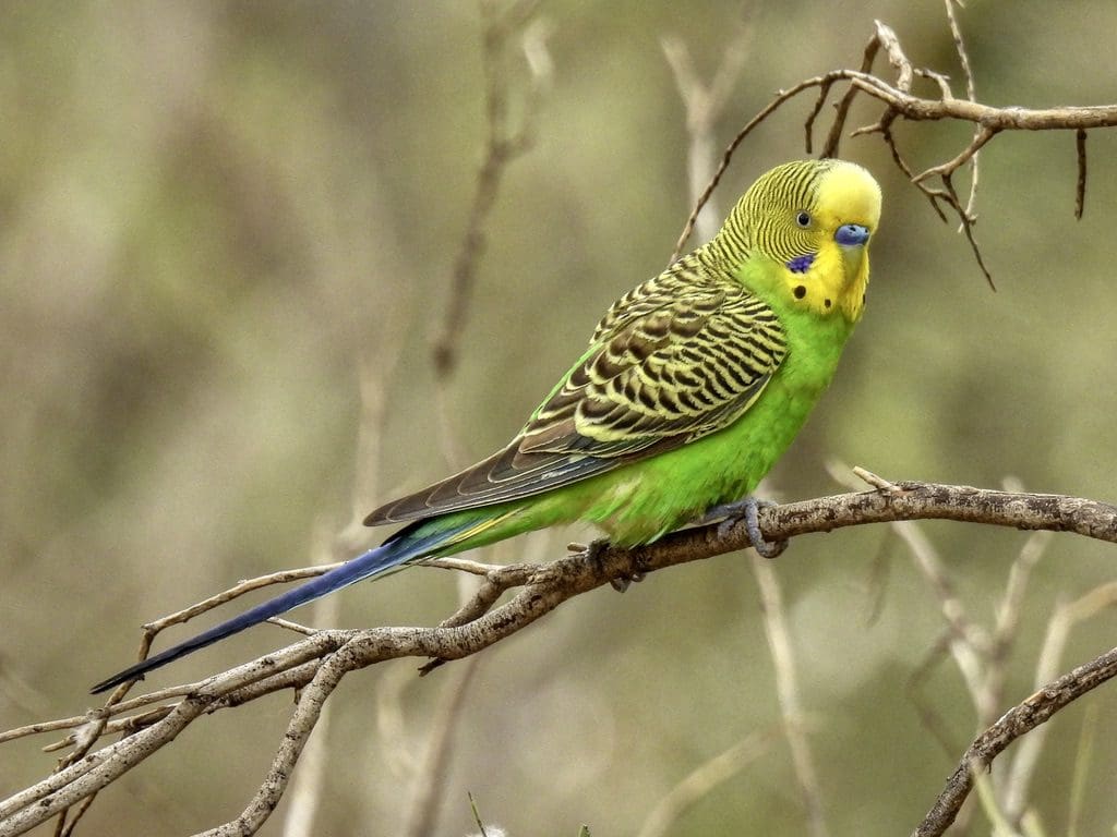
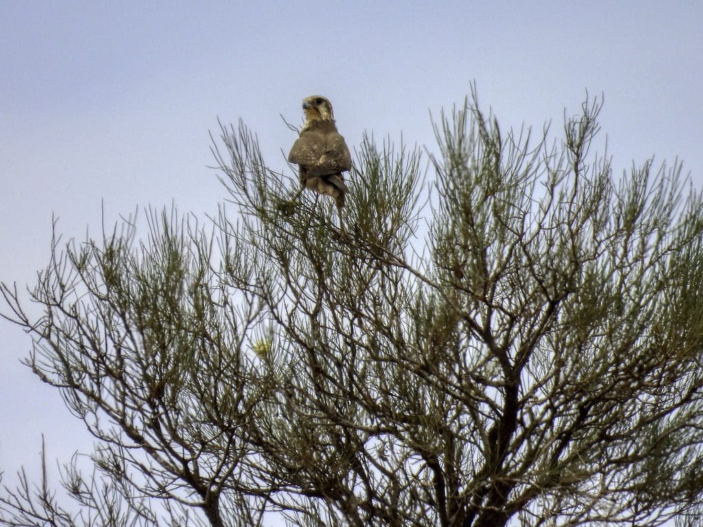
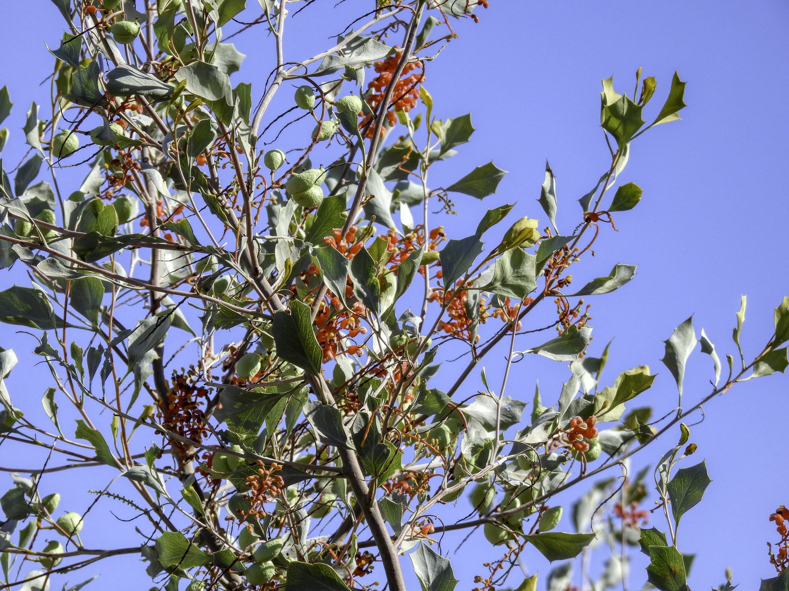
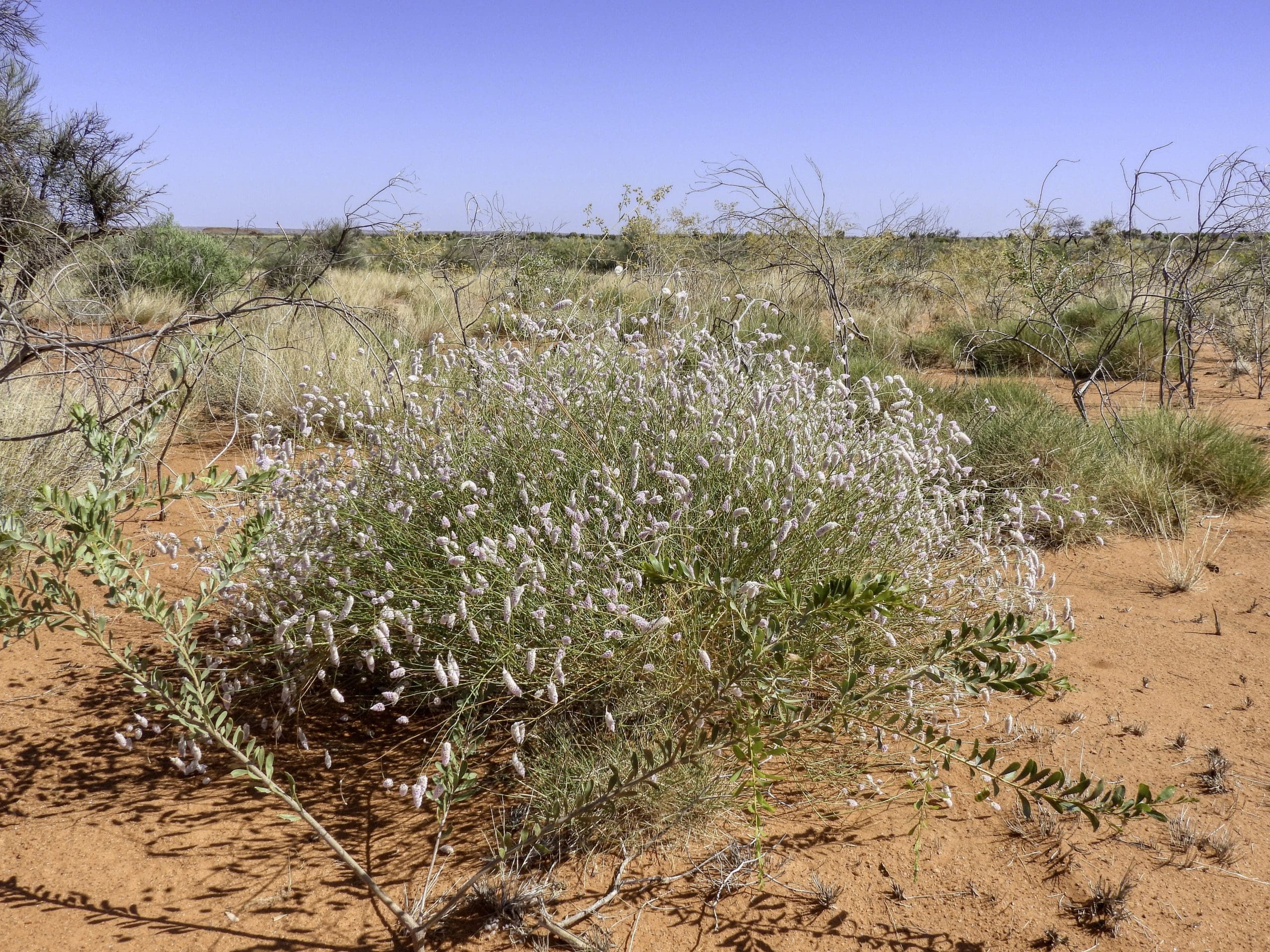
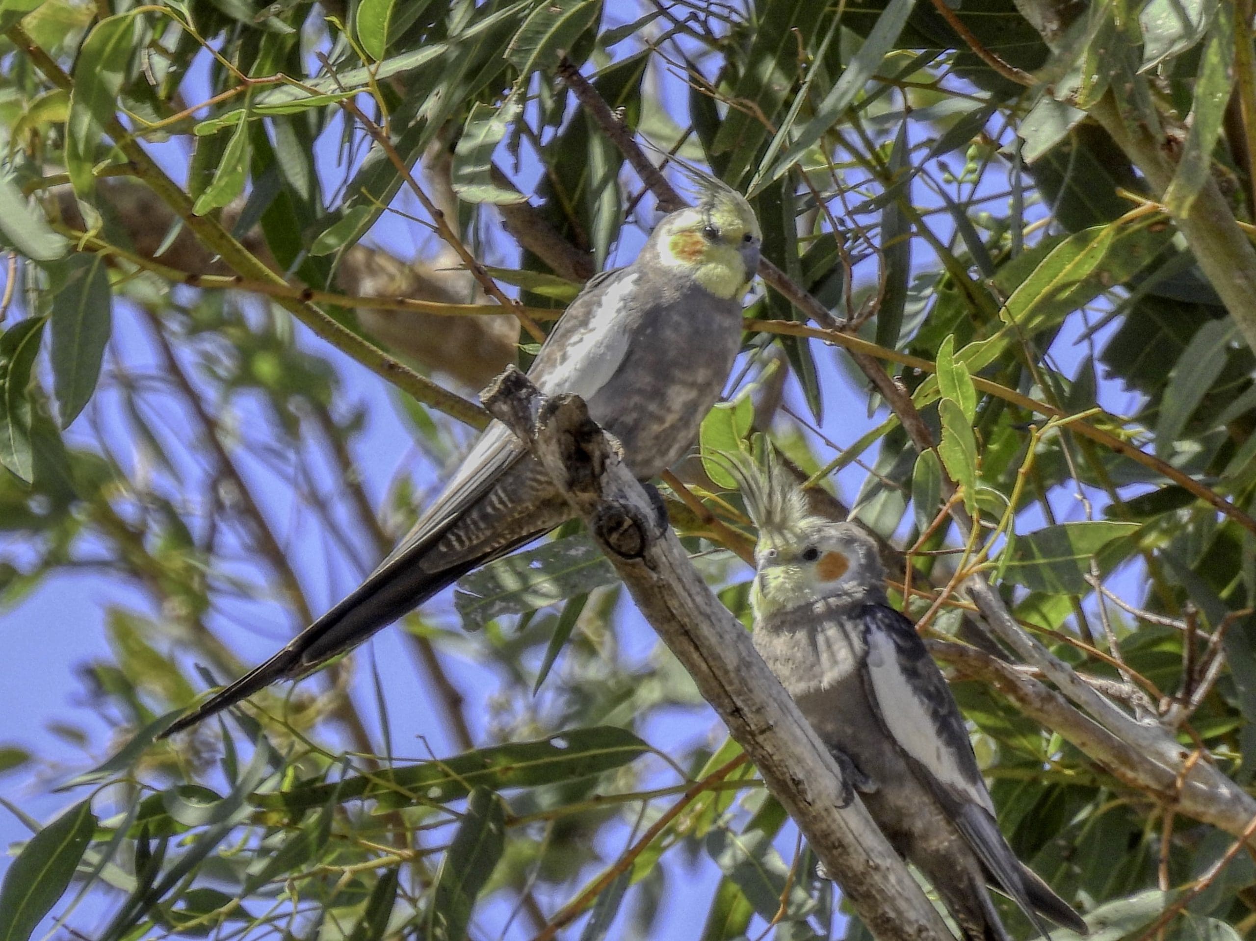
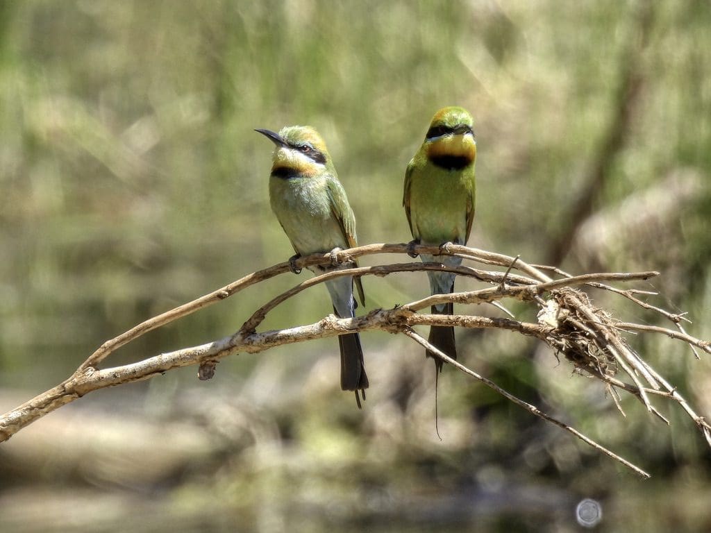
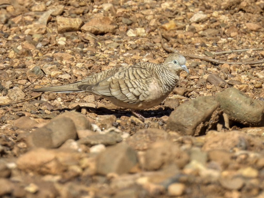
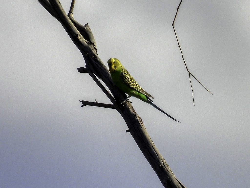
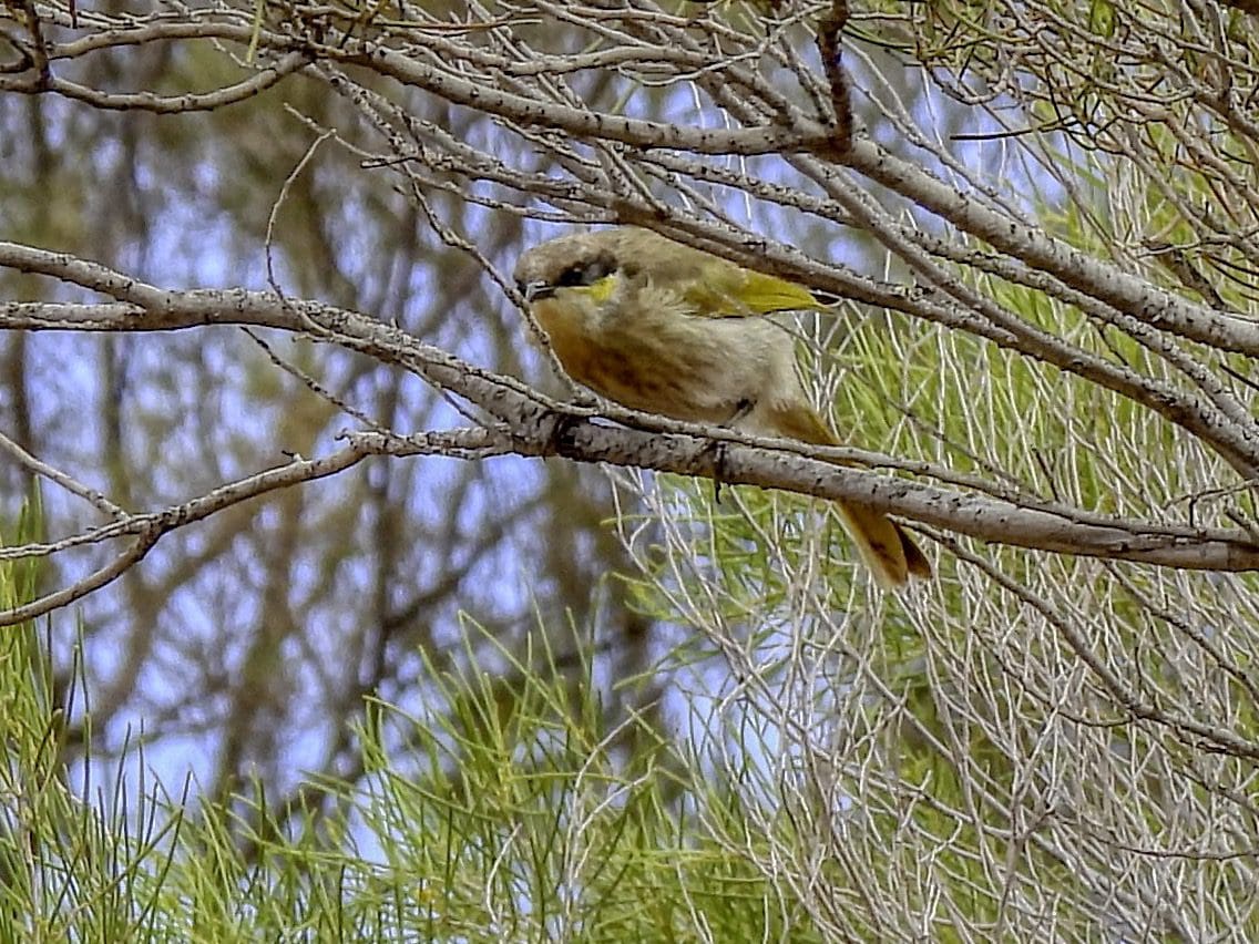
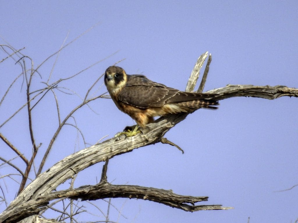
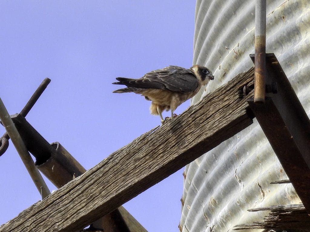
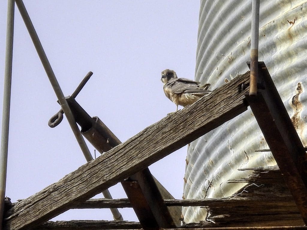
Day 2 Thursday 8th September. Continued drive north to morning tea at Cue. Little eagle nesting on coms tower. South of Meekatharra and about 80km north of Cure, we came across a gypsum dune with two unusual and specific plants – Eucalyptus strictlandii and dunna dunna (a plant in a family all of its own). West of the dune is a large dry lake. A couple of nulla nulla species at our lunch stop beside the road. (We will see different types of nulla nulla every day throughout the trip.) Drove under a thin cloud cover all day. A stop at Gascoyne River. Many budgies. Camp at Kumarina. Last showers for 7 days.
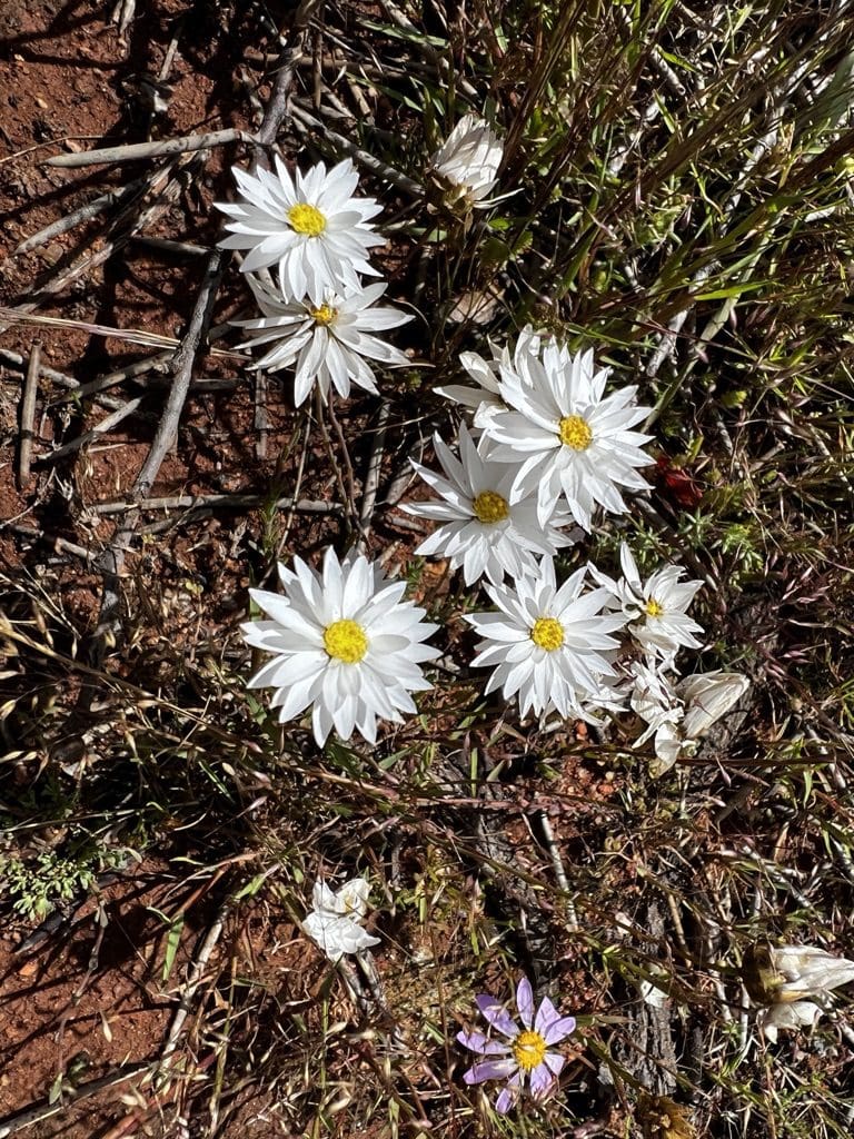
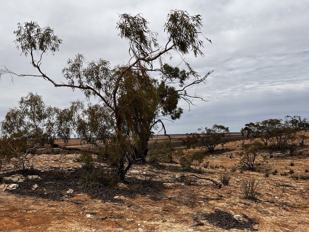
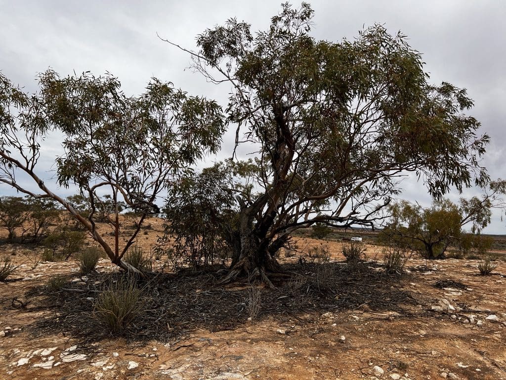
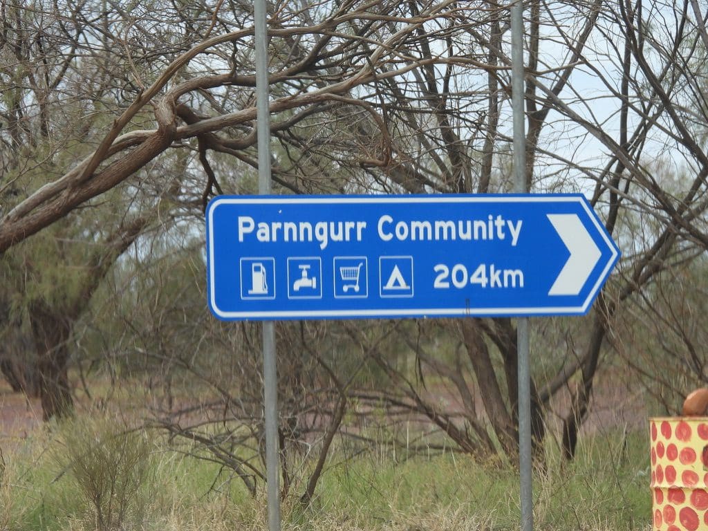
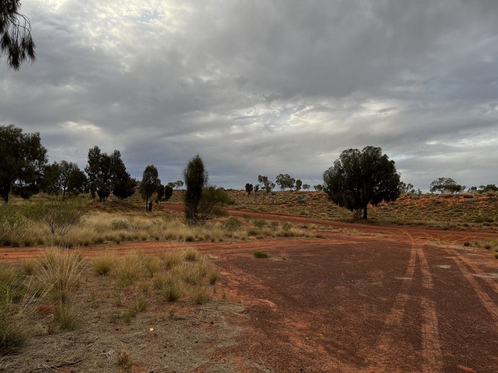
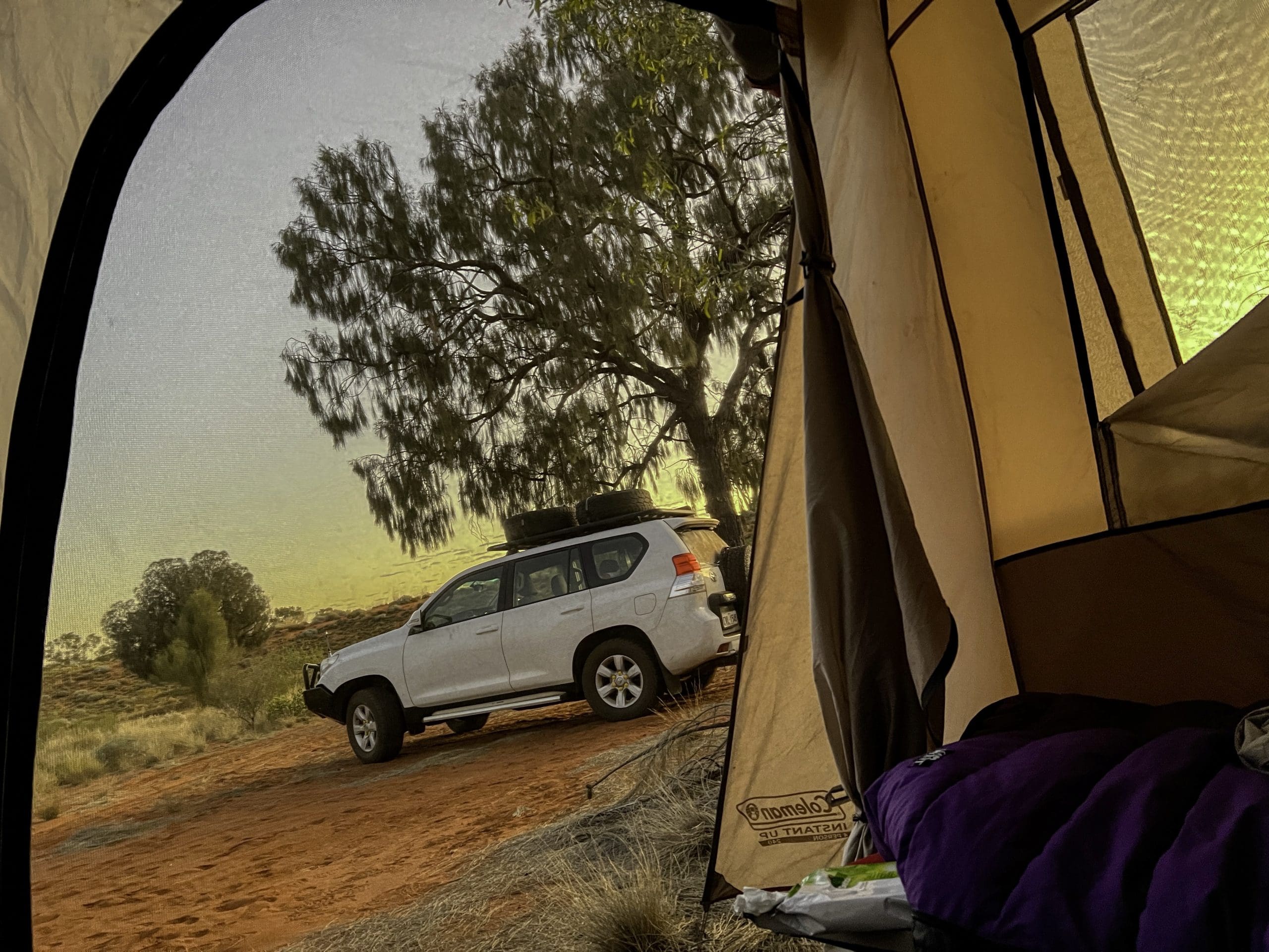
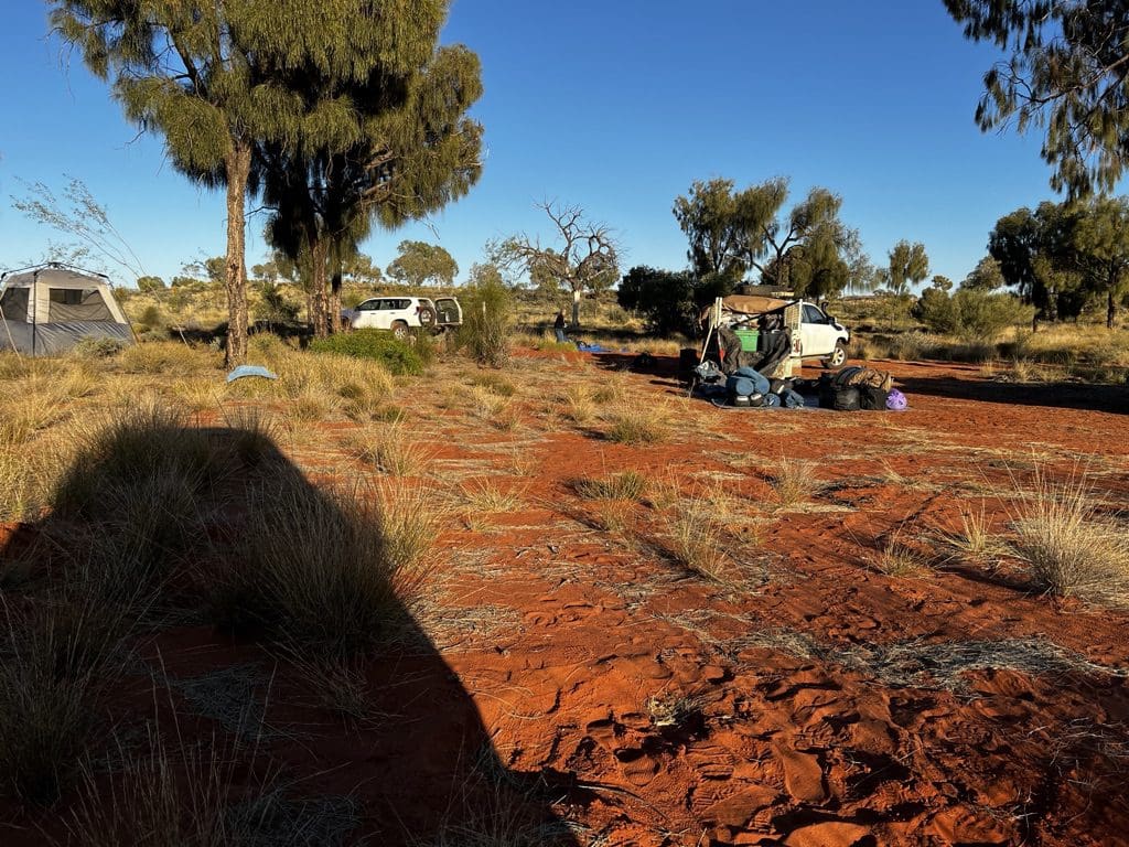
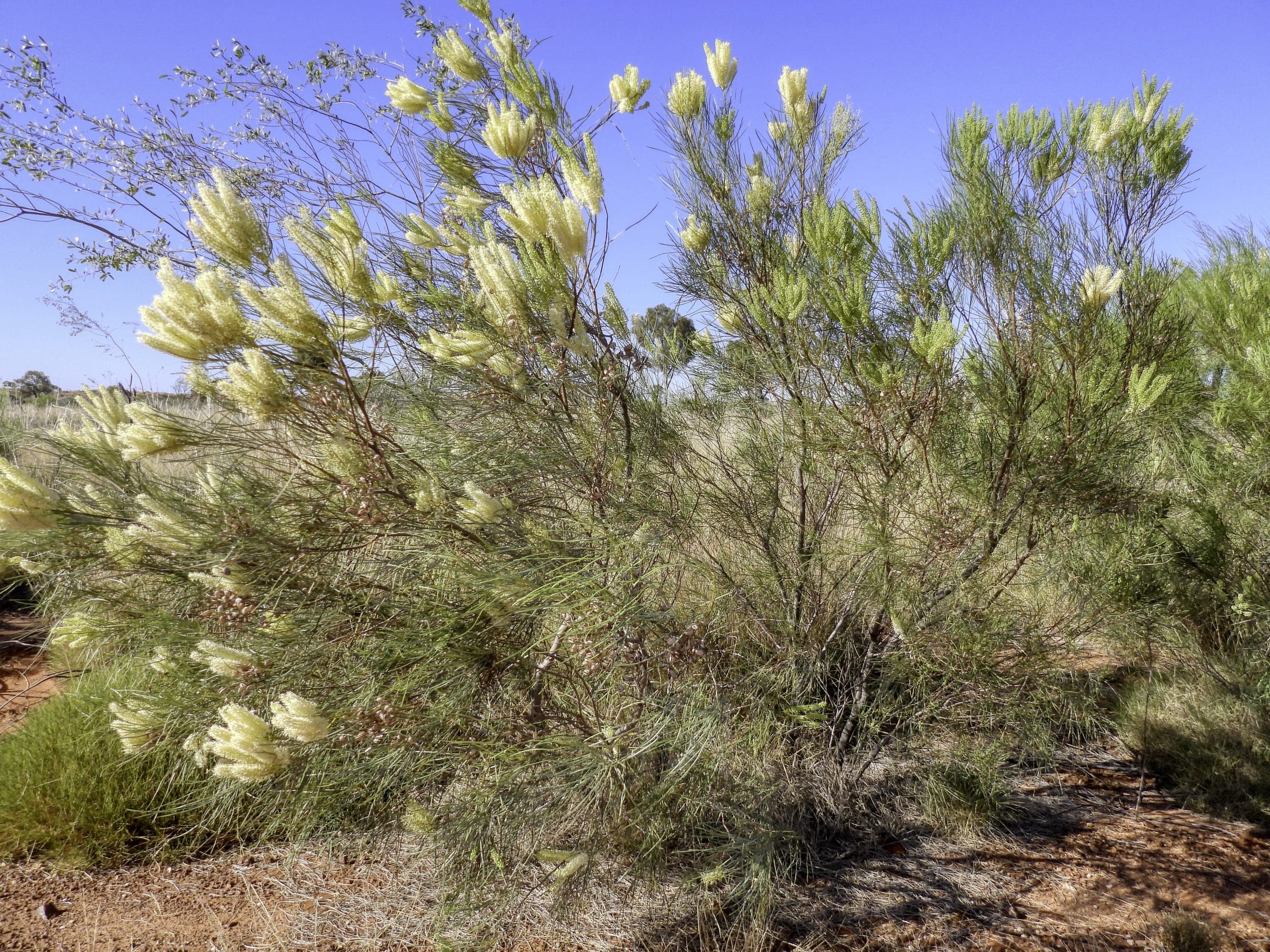
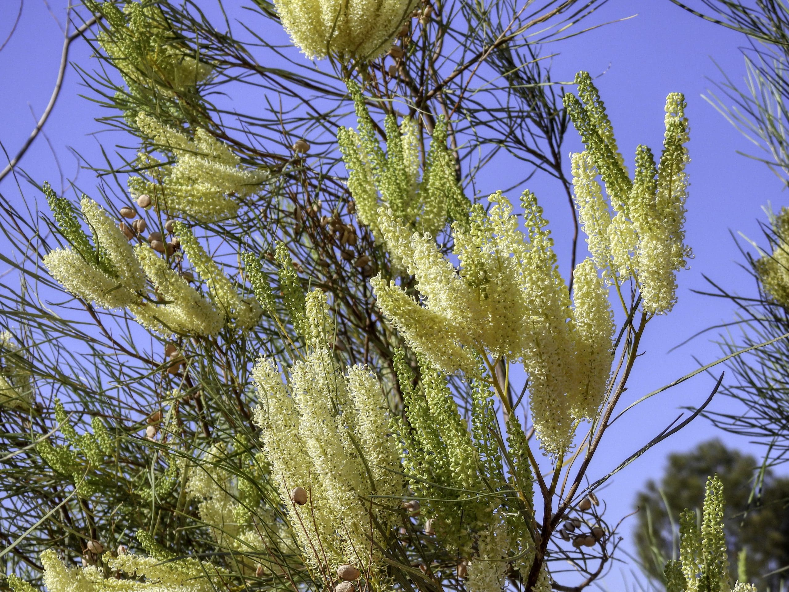
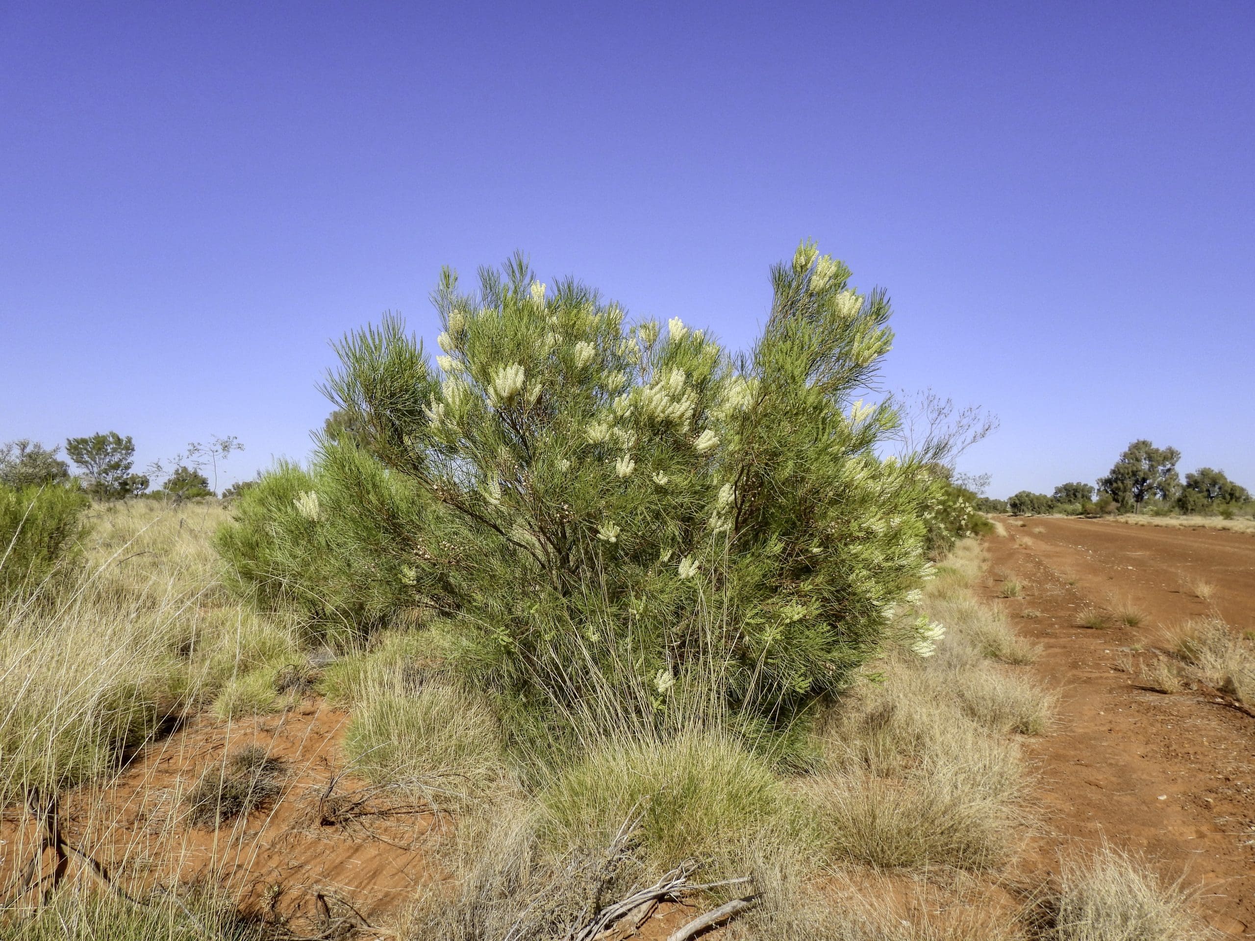
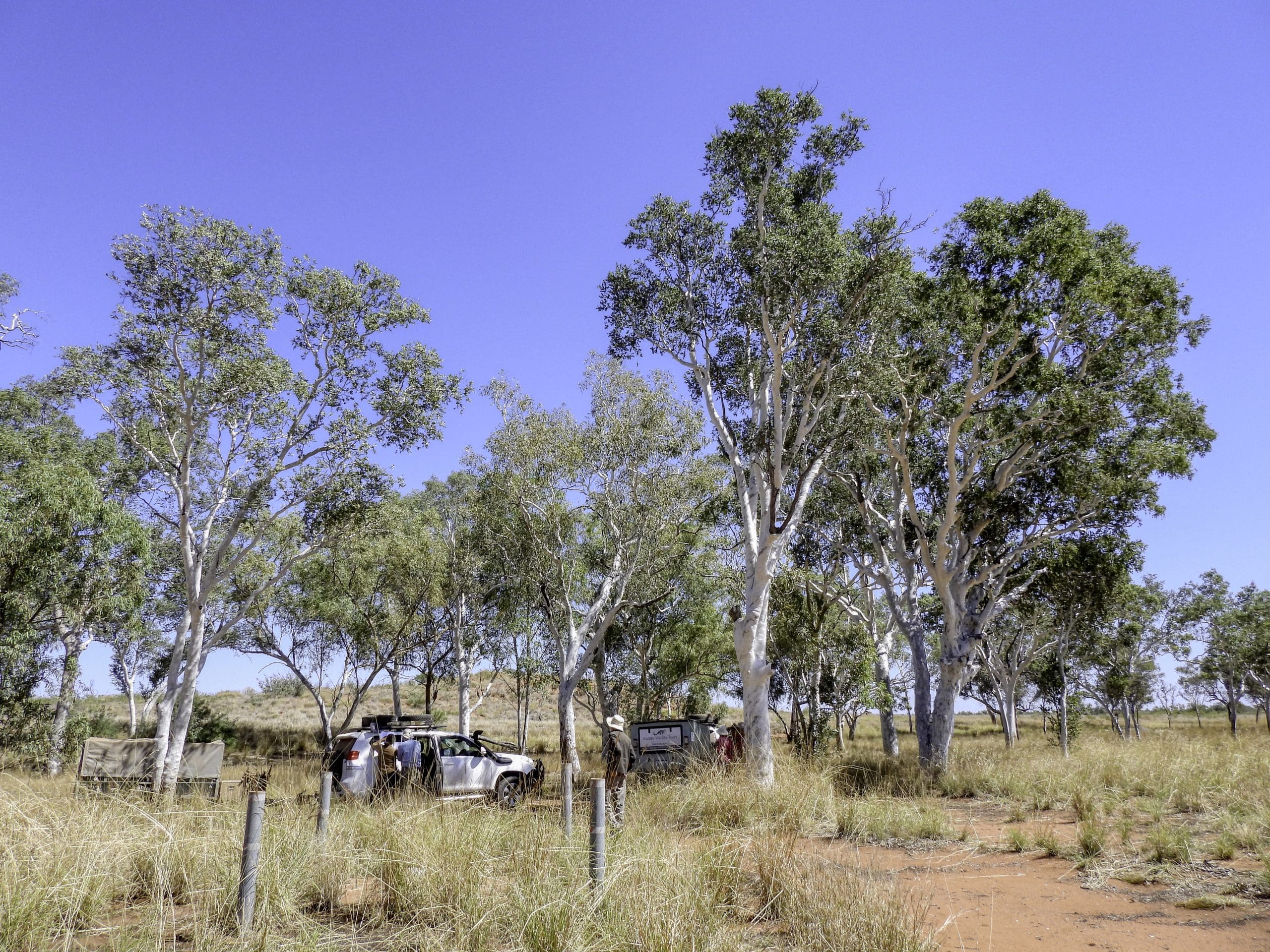
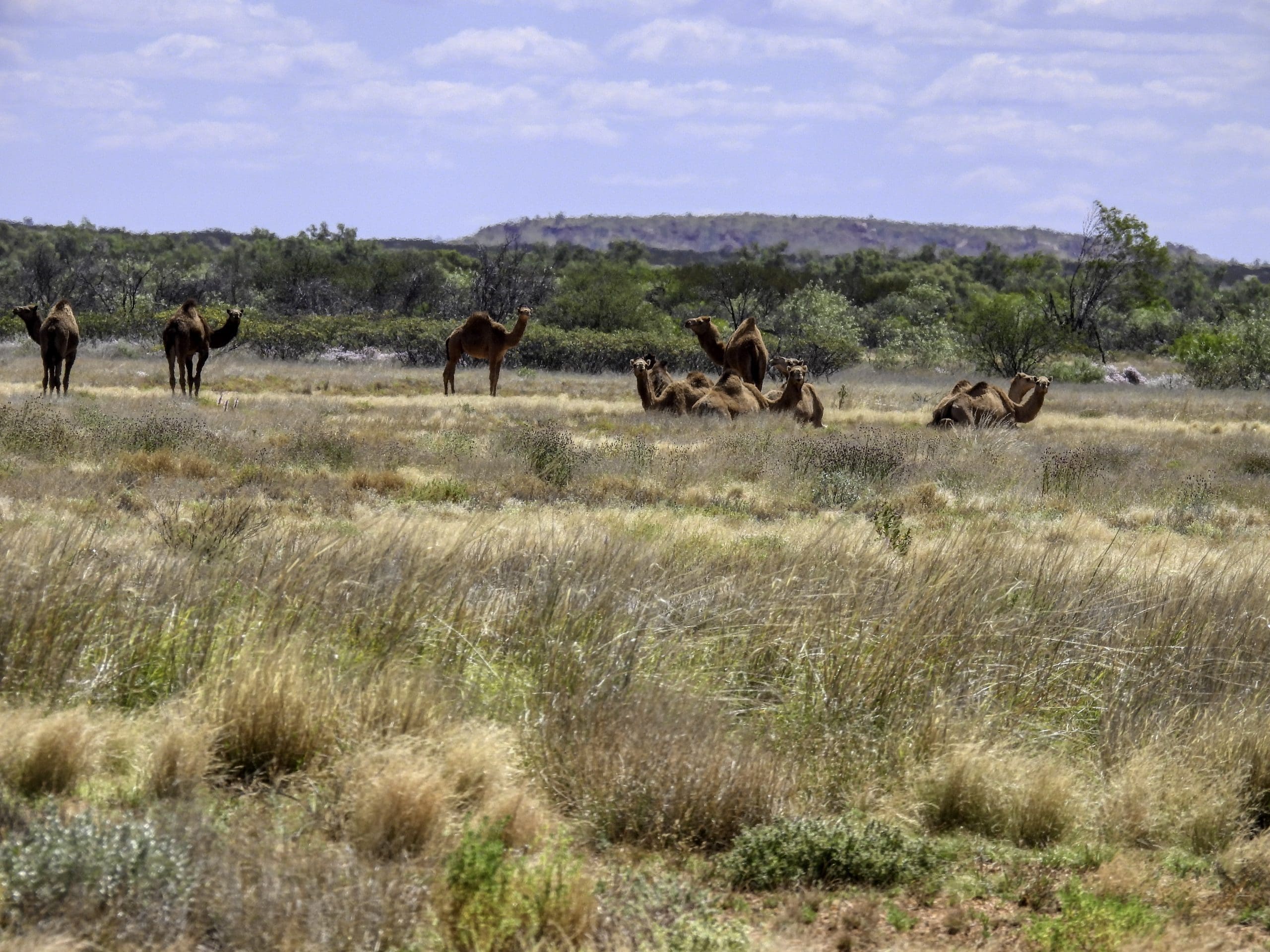
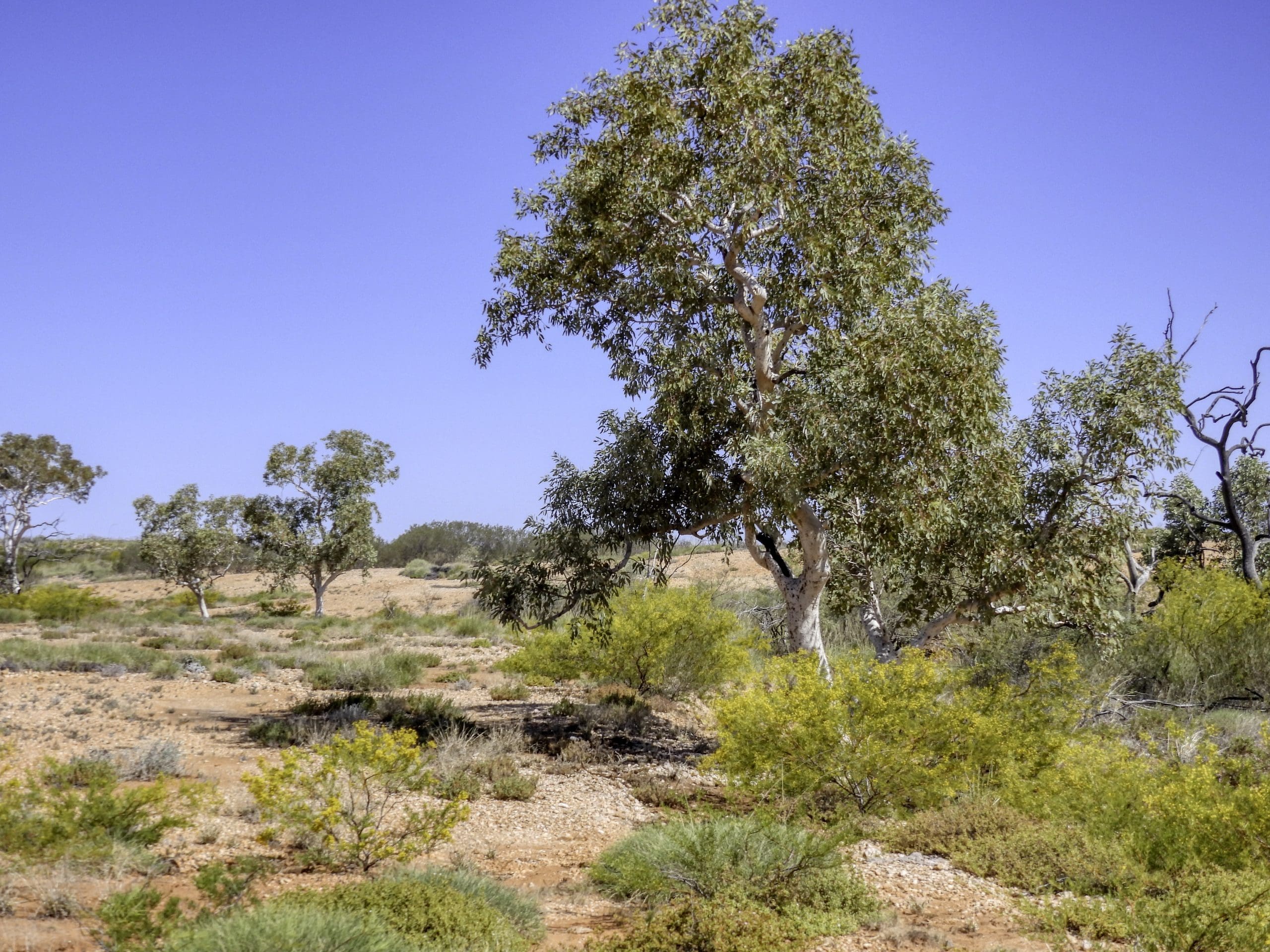
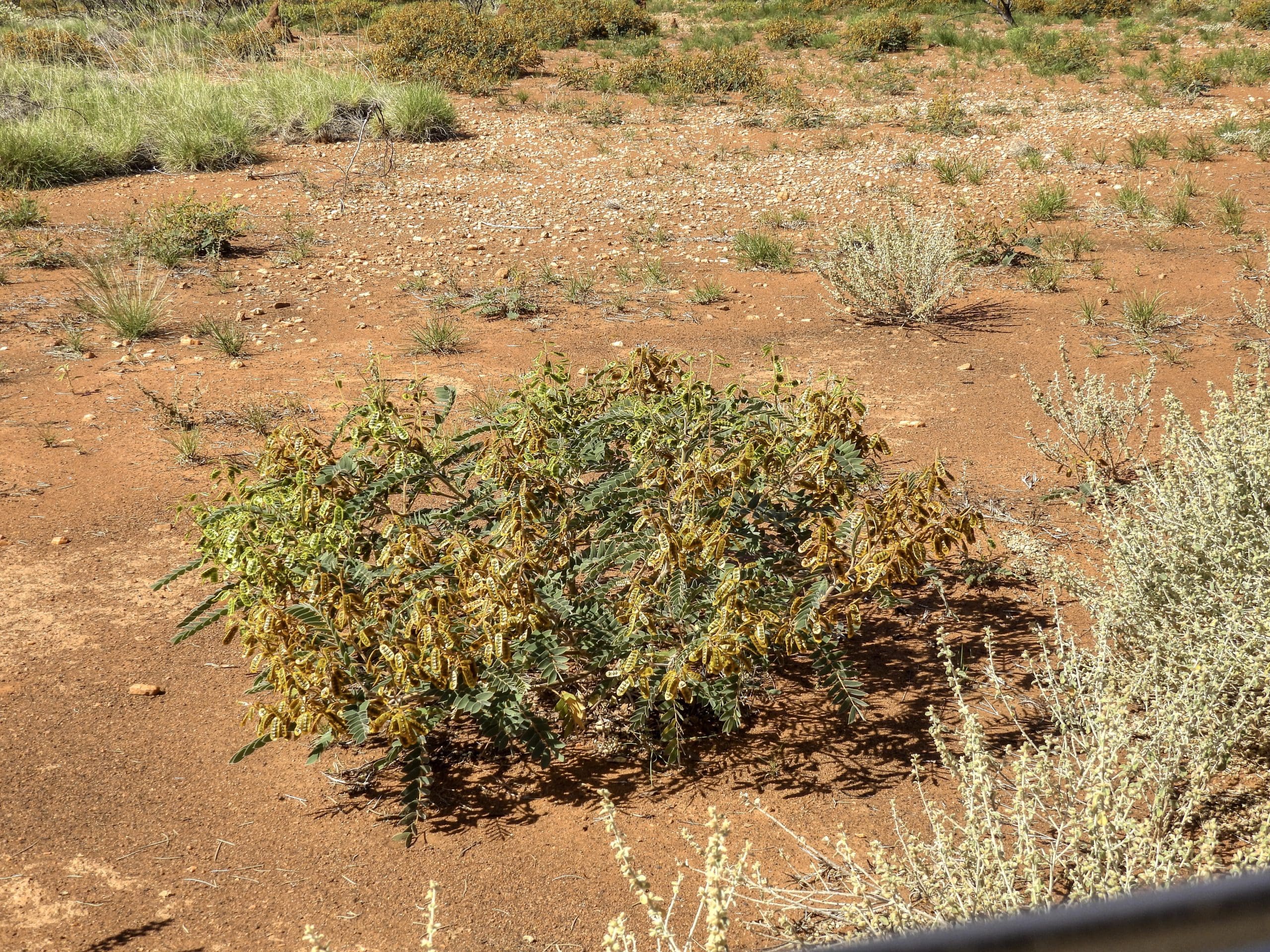
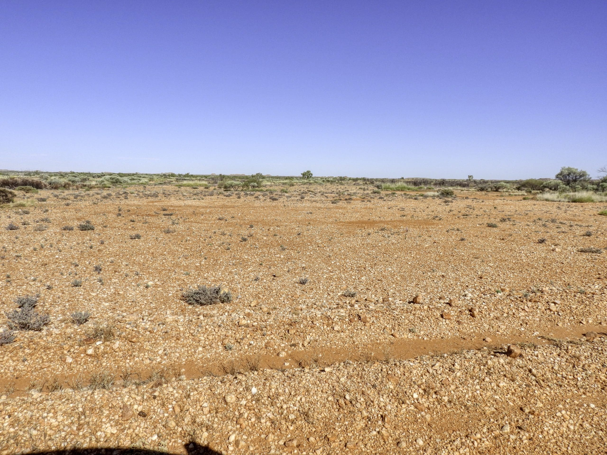
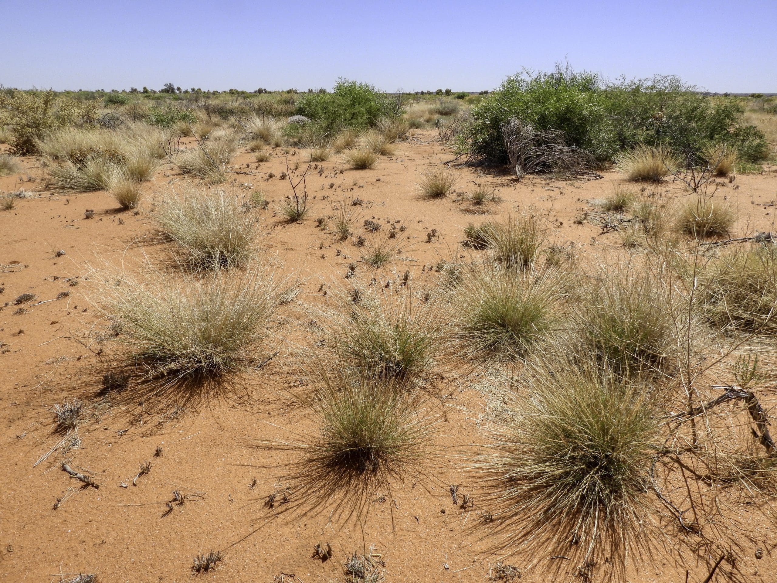
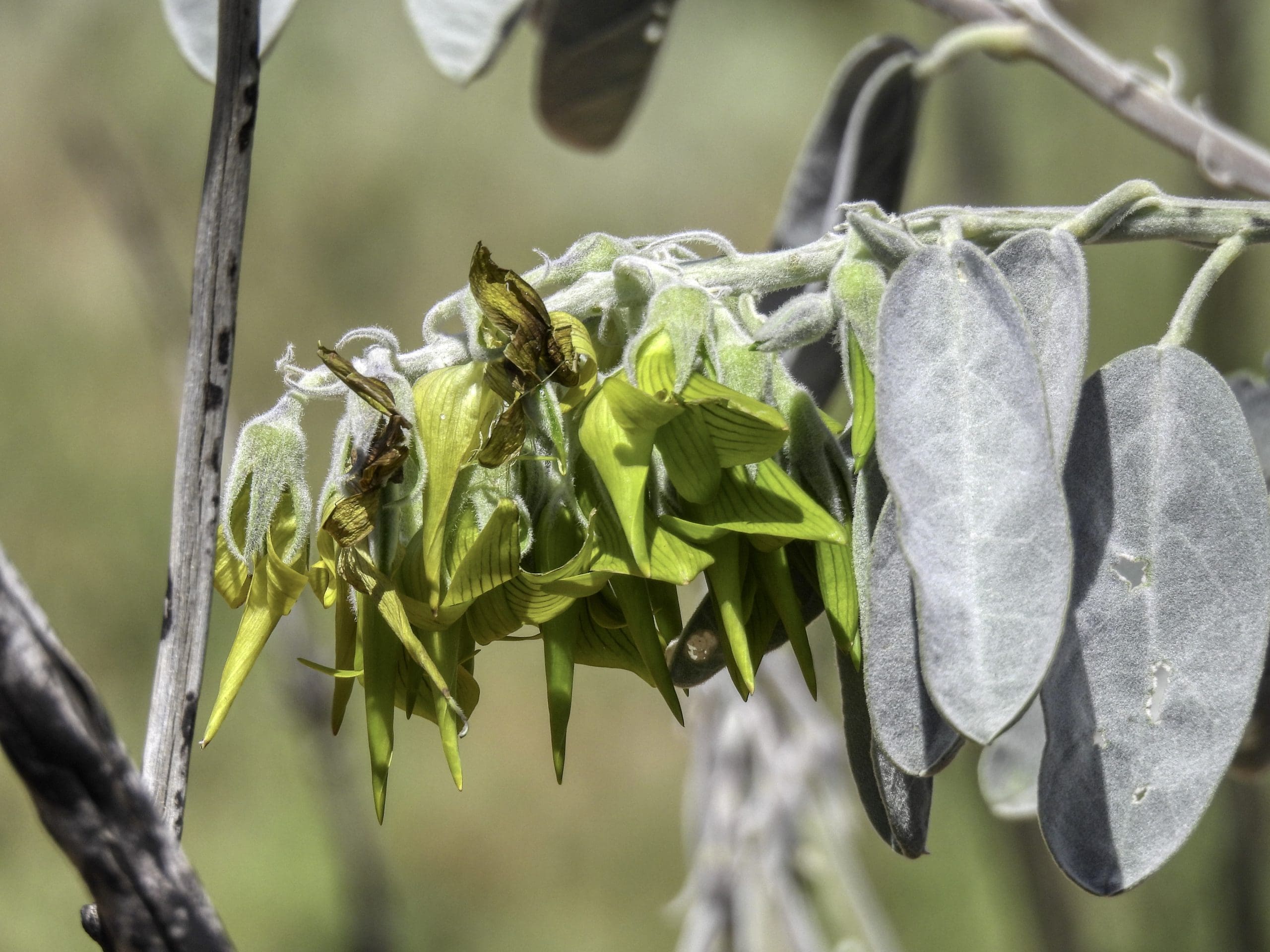
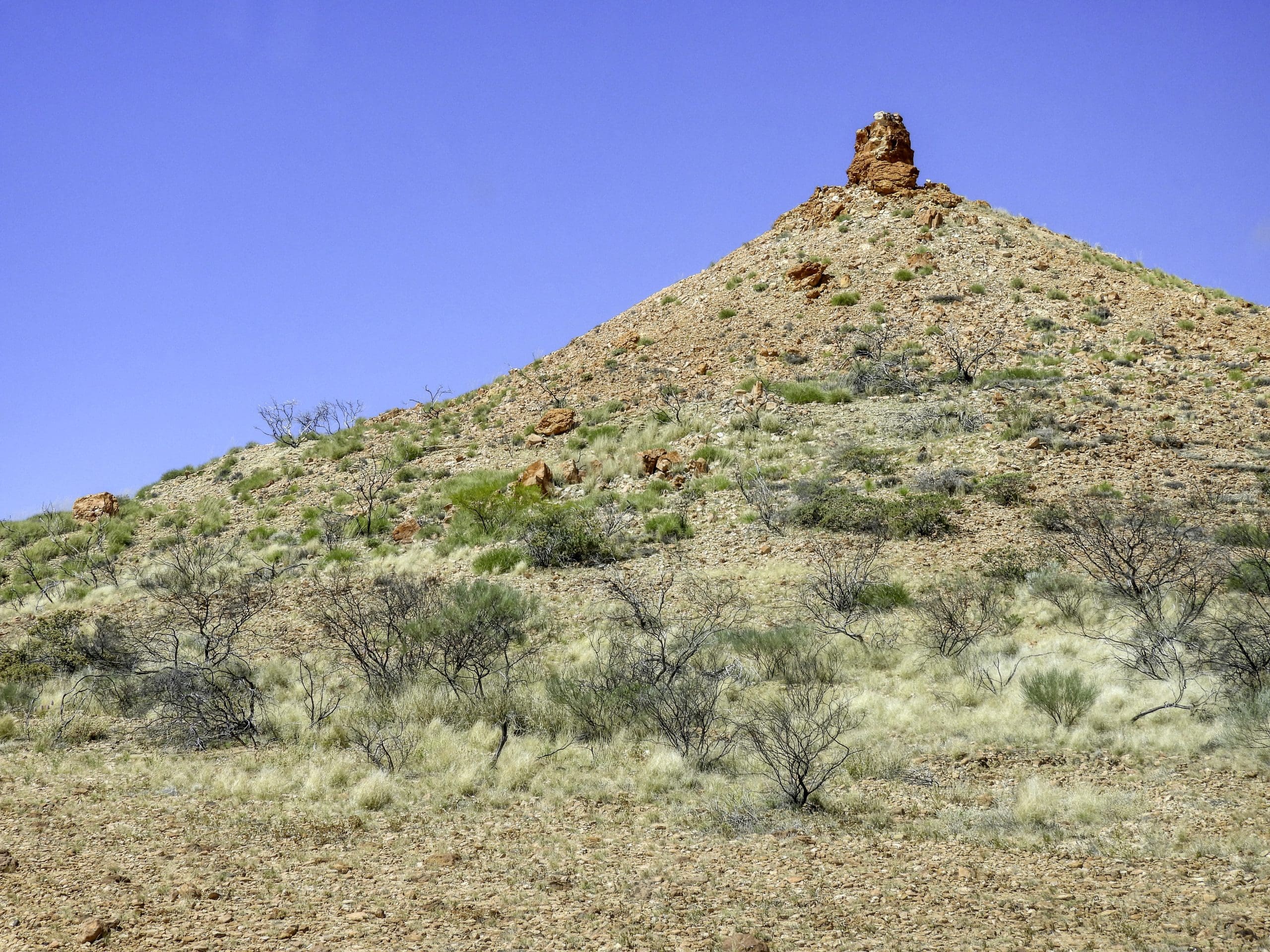
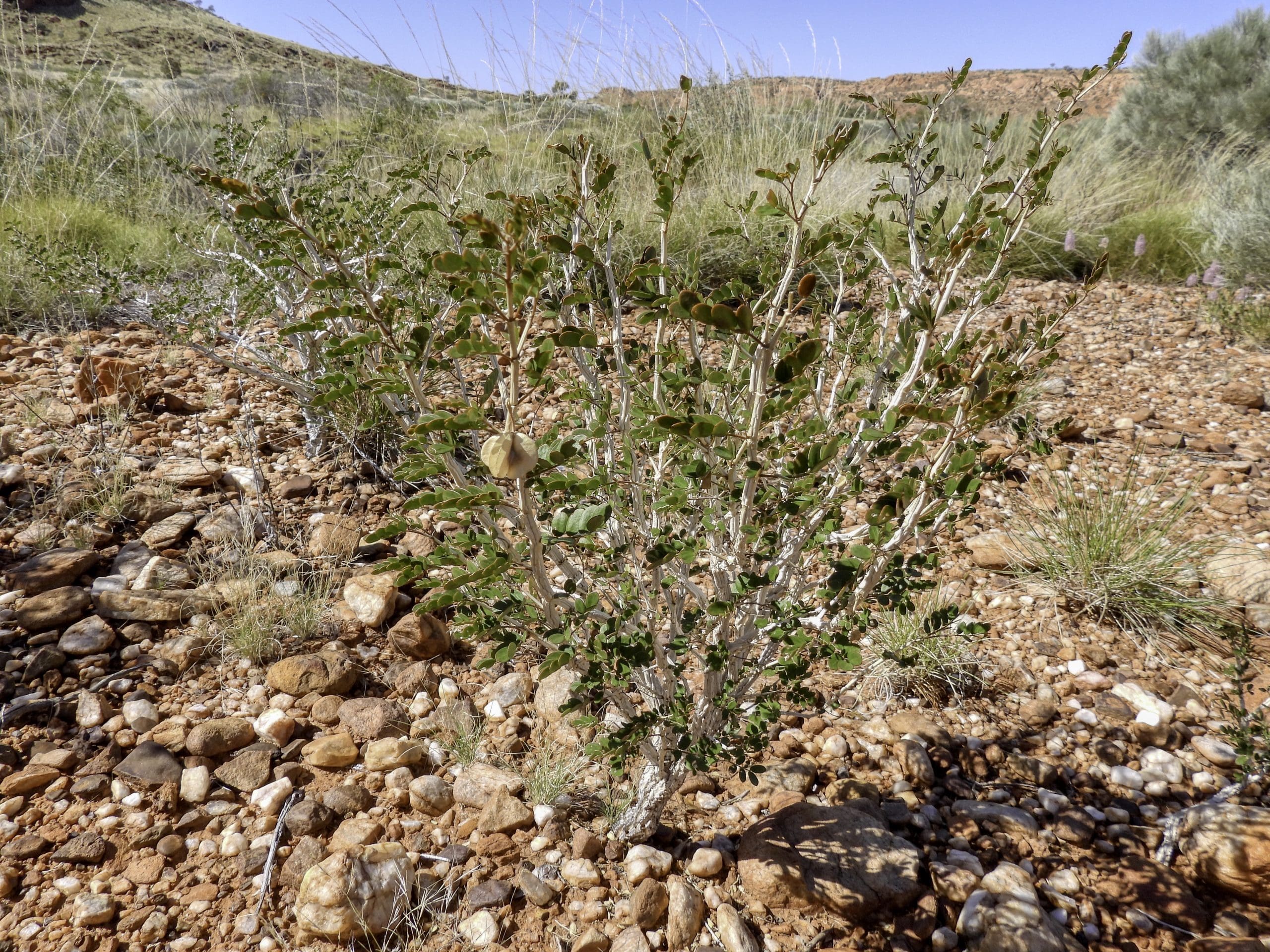
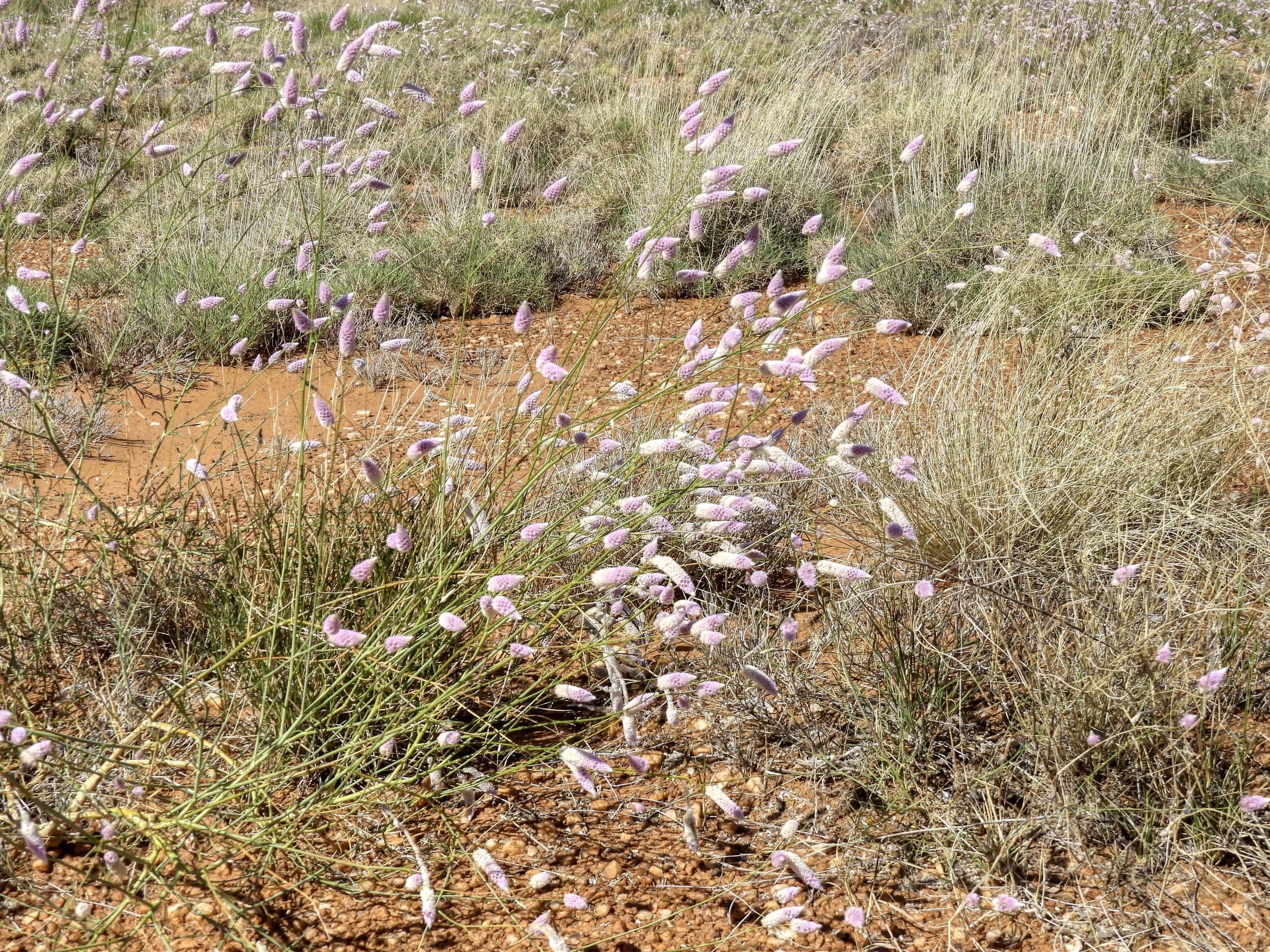
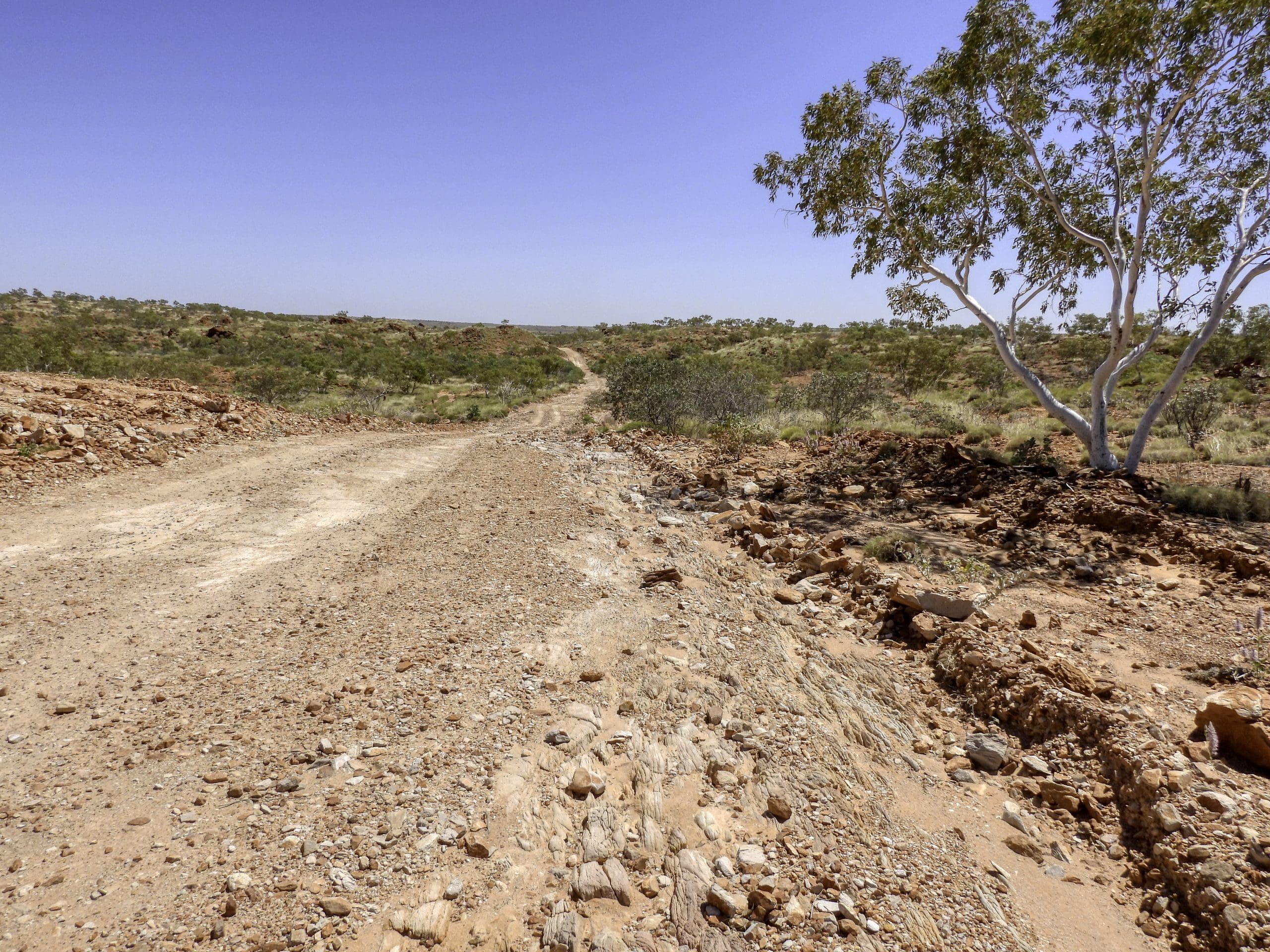
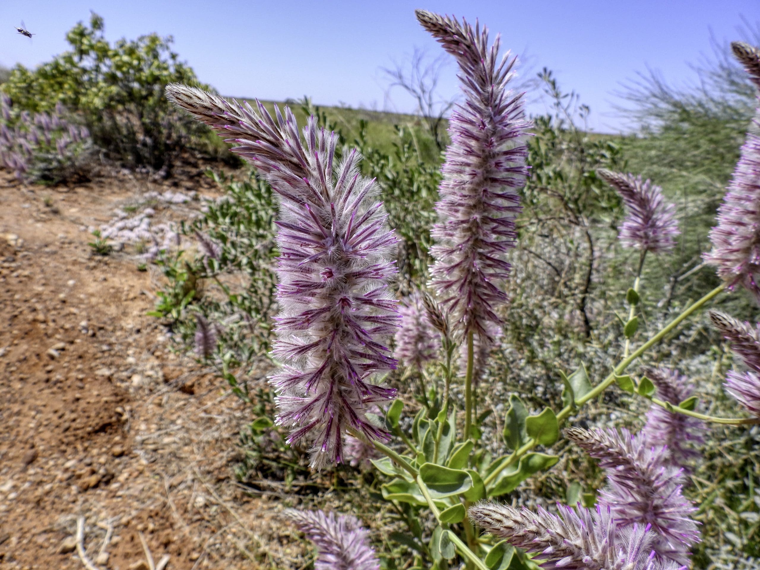
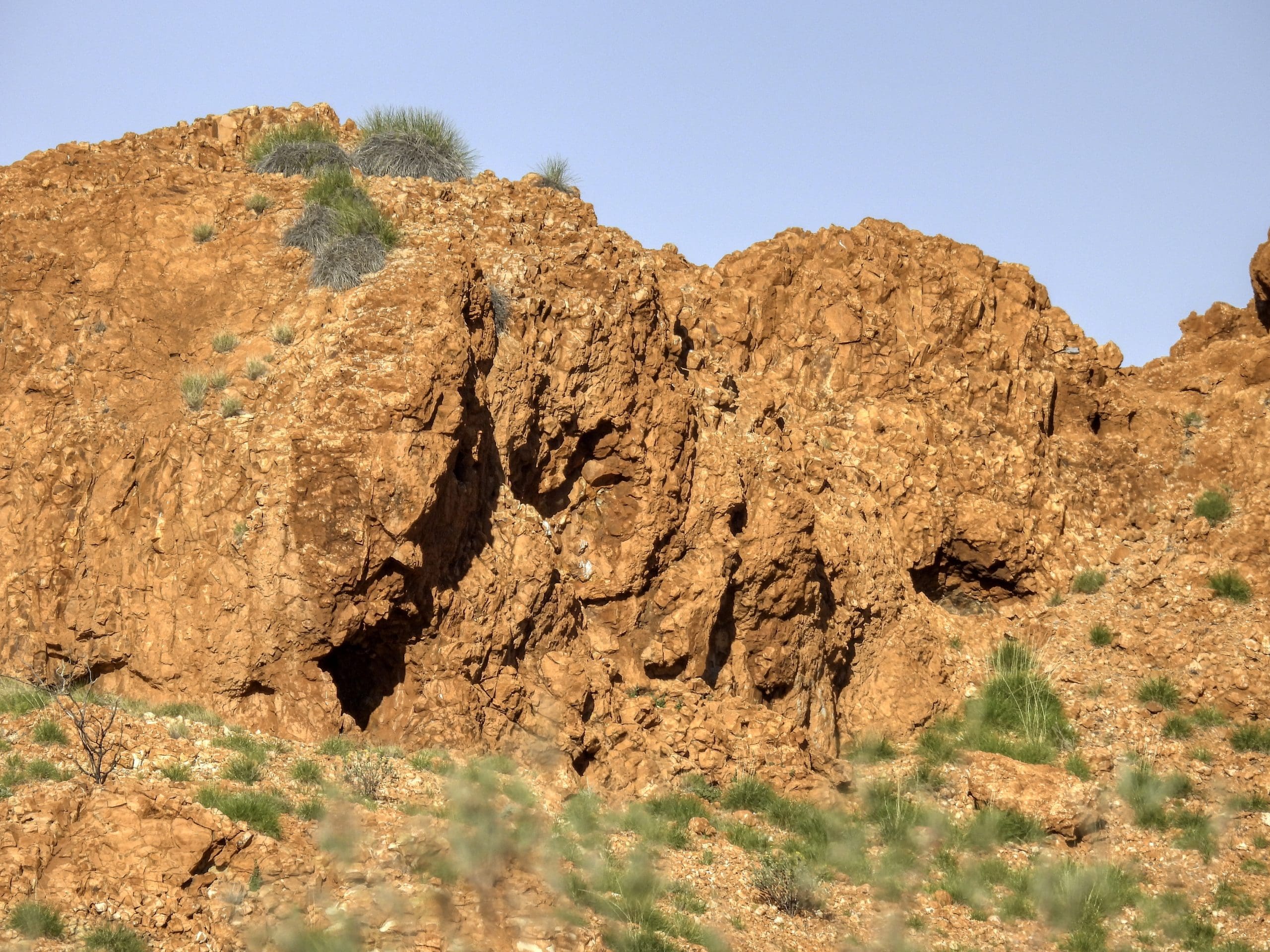
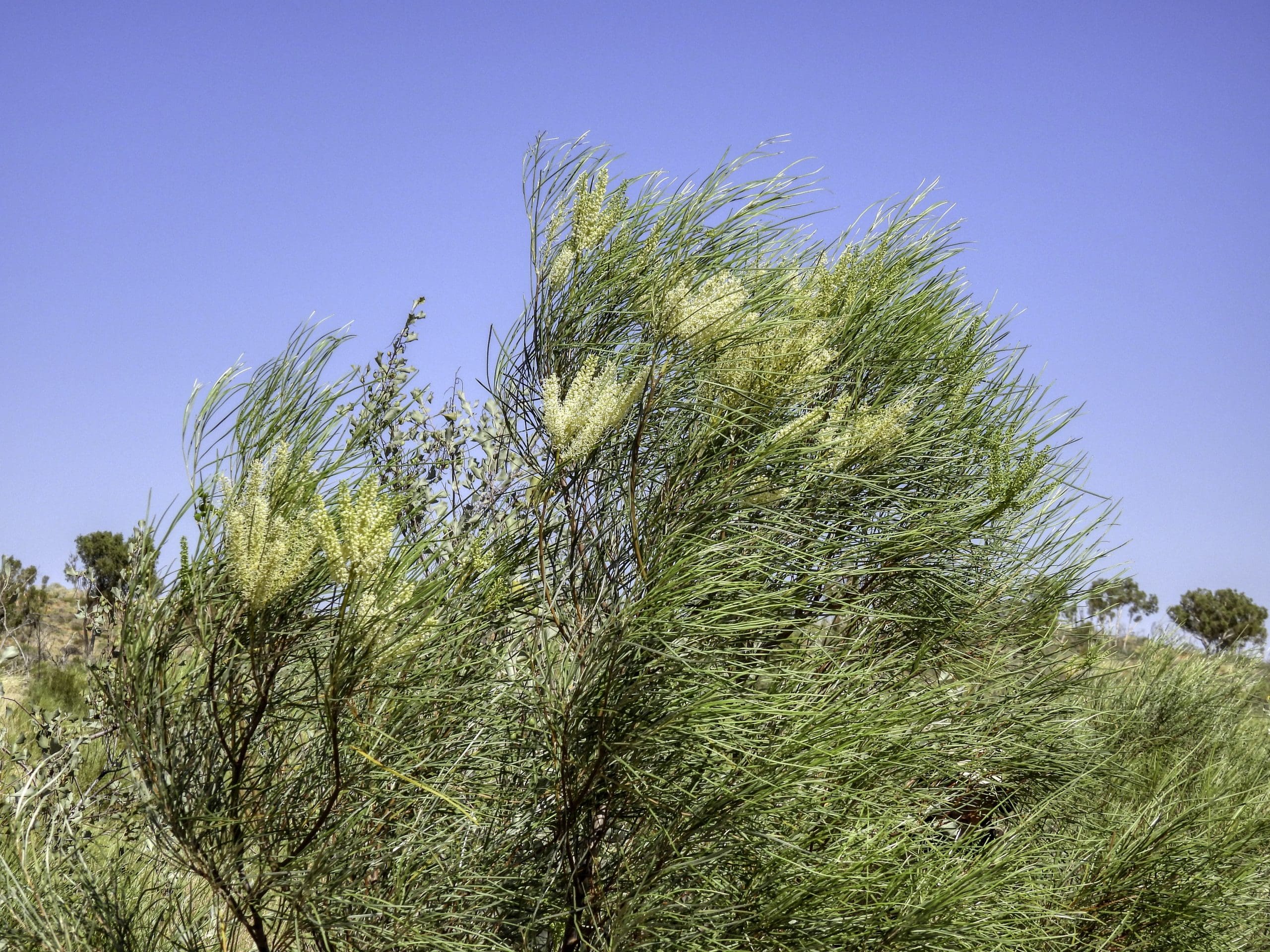
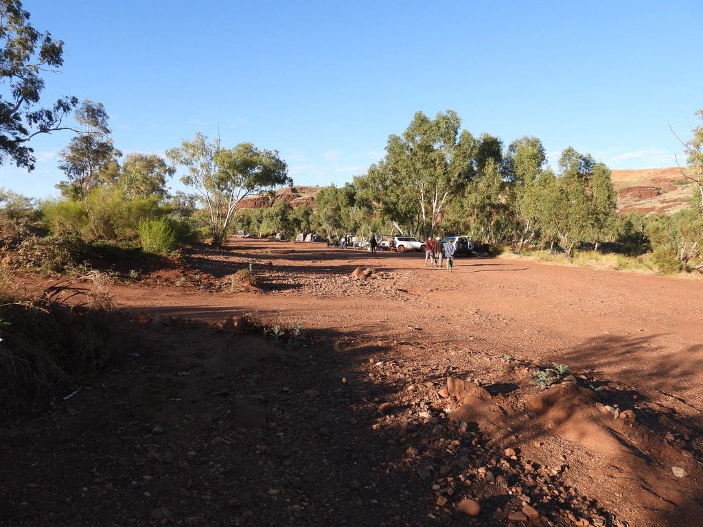
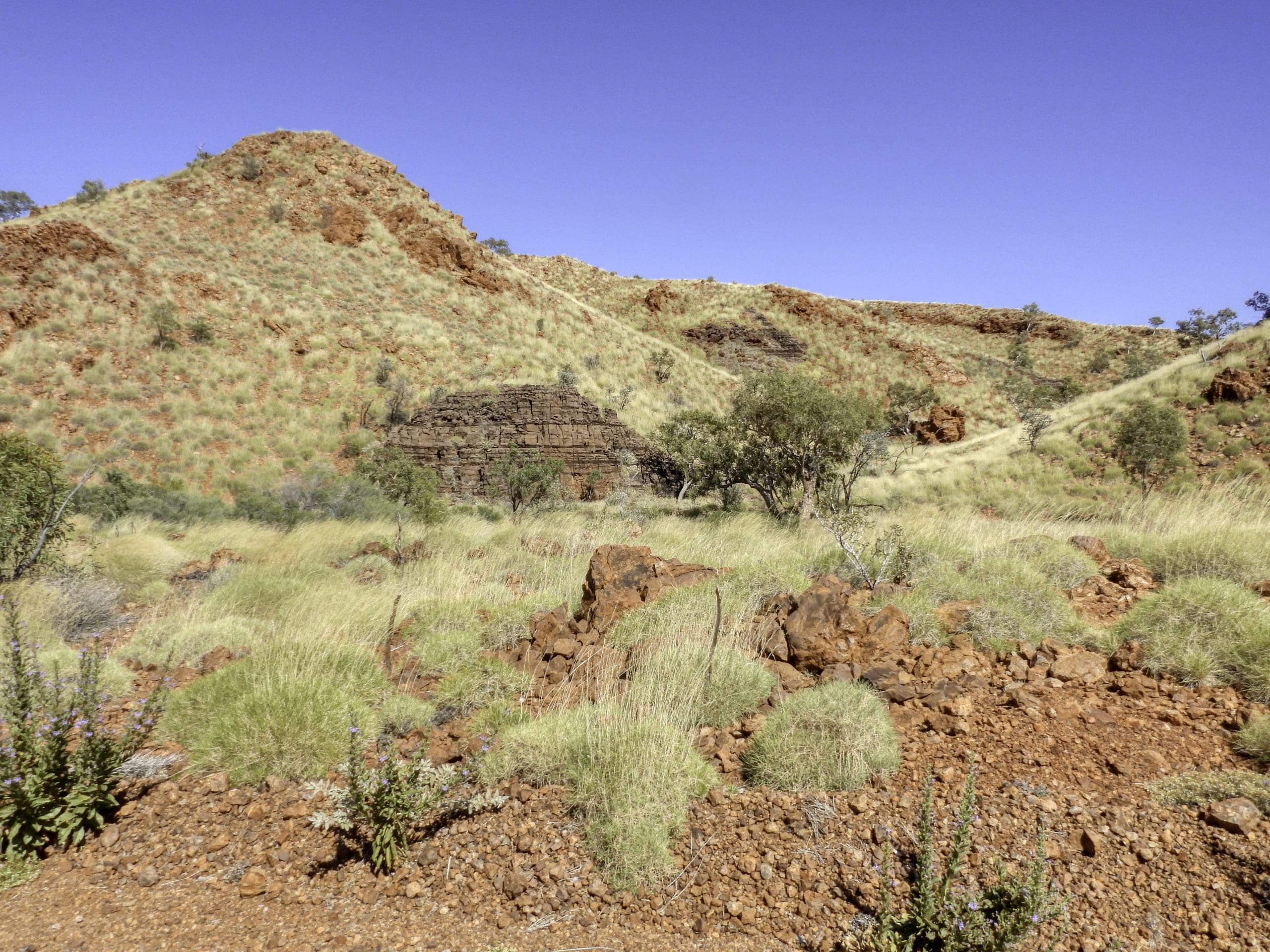
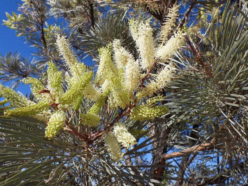
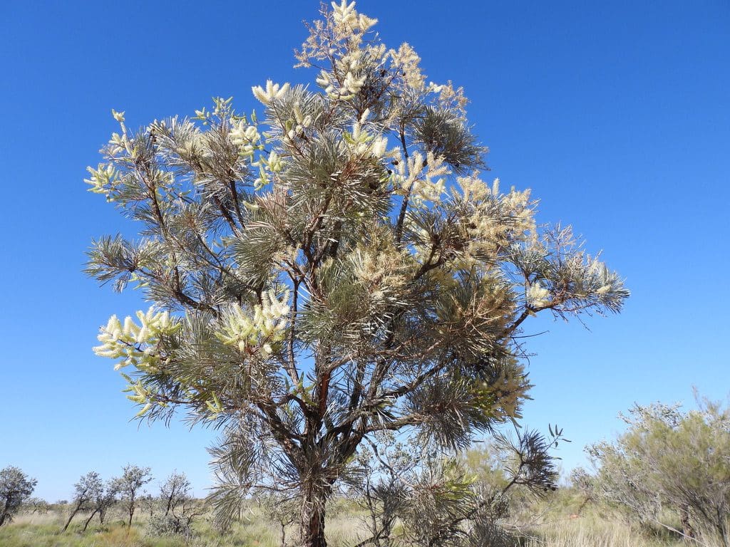
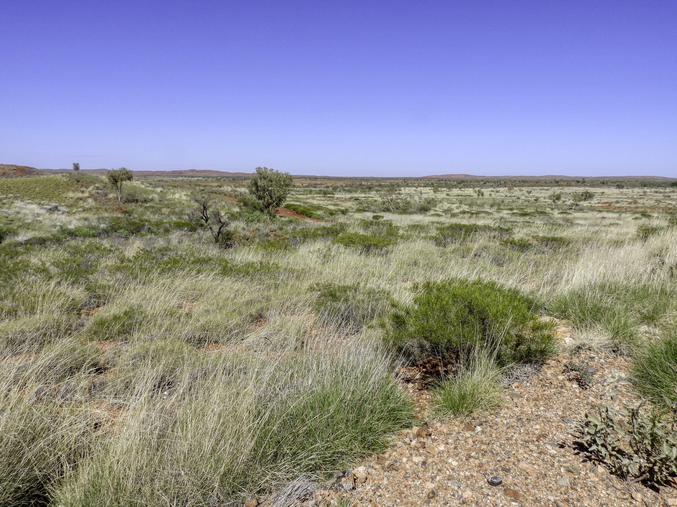
Day 3, Friday 9th Sep. Up and away early. Drive to Newman where Helen and I went to the Martumili Art Centre and bought two paintings that we had researched online. They looked even better in the flesh. I think they were very surprised when these two old white bastards burst in and said “Do you stills have these two. We have just 20 minutes.” Very pleased with ourselves. Back to the rest of the group for morning tea while the vehicles headed off for fuel and a food top up. Then onwards for a short drive before we turned off onto a dirt road towards Jigalong and our destination at Karlamilyi. Road is ok except for a few washouts. Quite a few birds and plants. Lunch on the roadside. After lunch, we continued on the dirt road (we will be on dirt roads for the next seven days) stopping for plants and birds until we reach our campsite under desert oaks at about 4:30pm. We have been on a Len Beadell road – beautifully made and sited to make best use of the land forms and fewest hills. We are in a little flat area with sand dunes on two sides. Spinifex under story. We picked up our first wood for a fire today. Disappointing for me to see – a few minutes pleasure for us, and we’ve destroyed several animals’ homes.
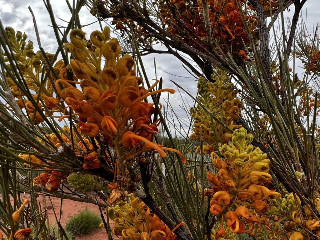
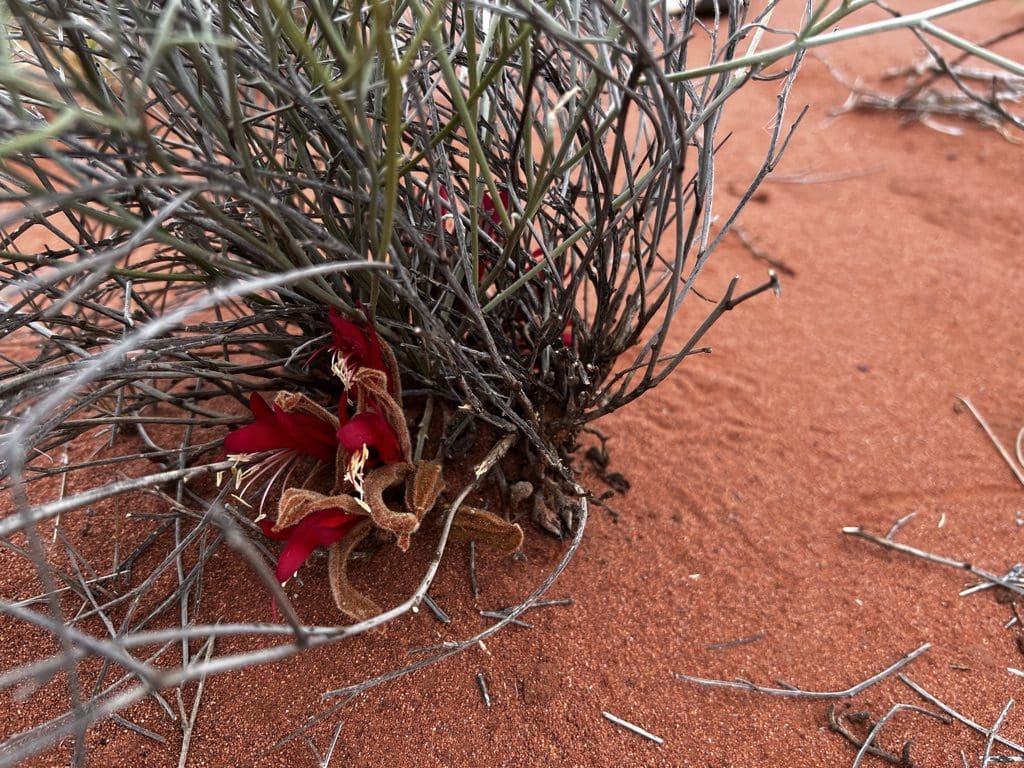
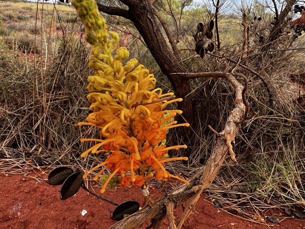
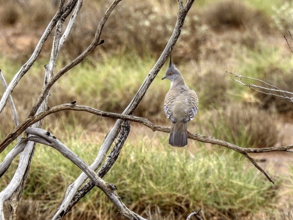
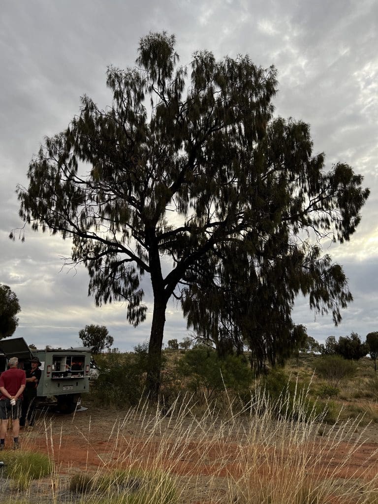
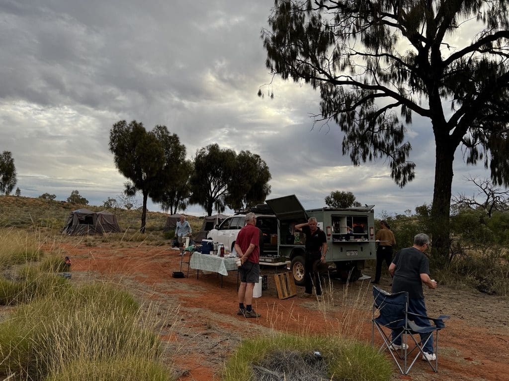
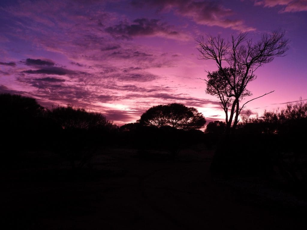
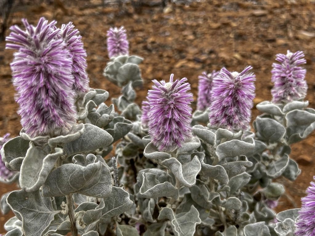
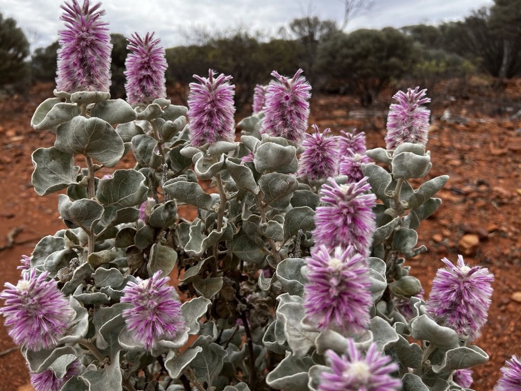
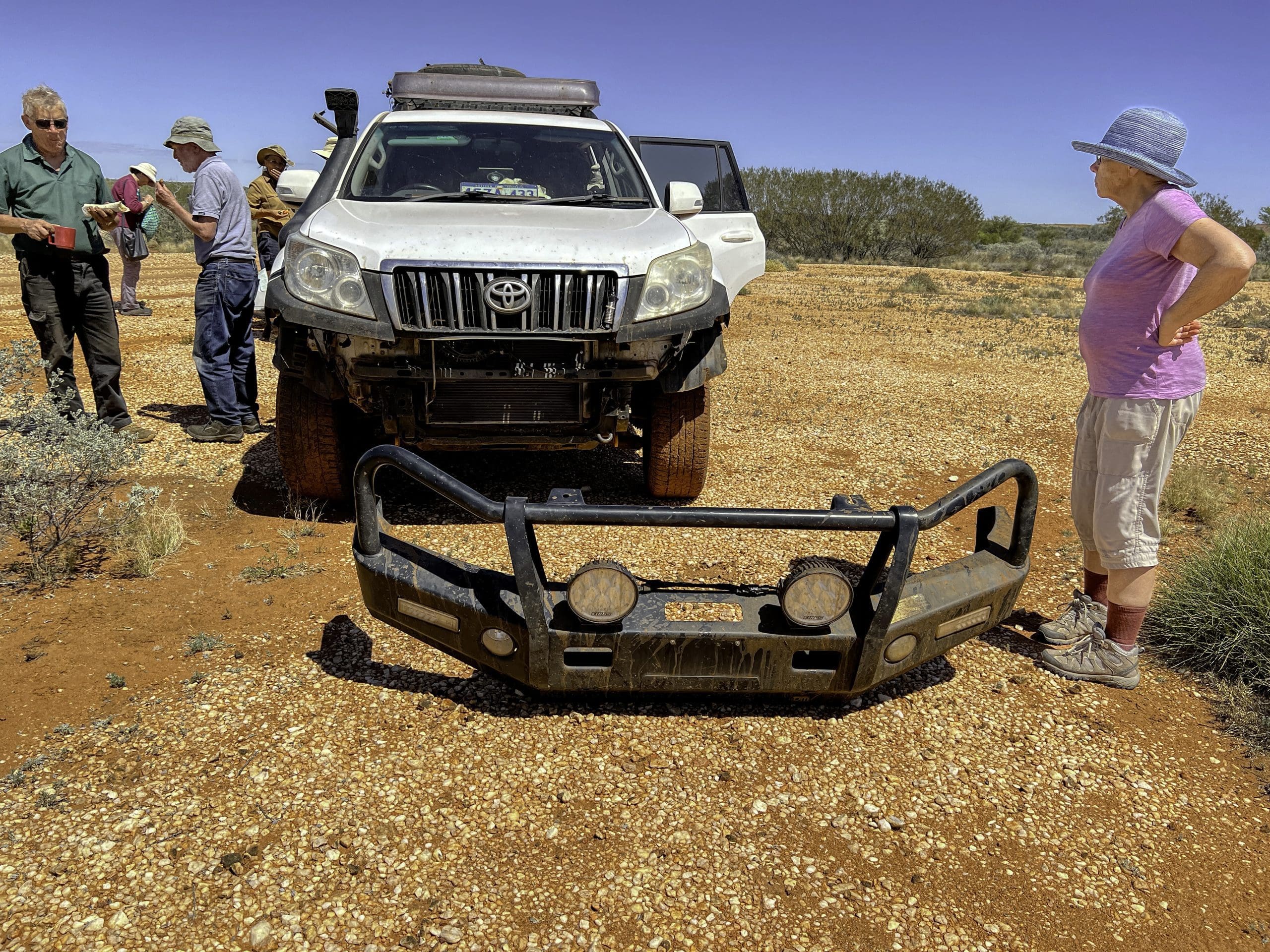
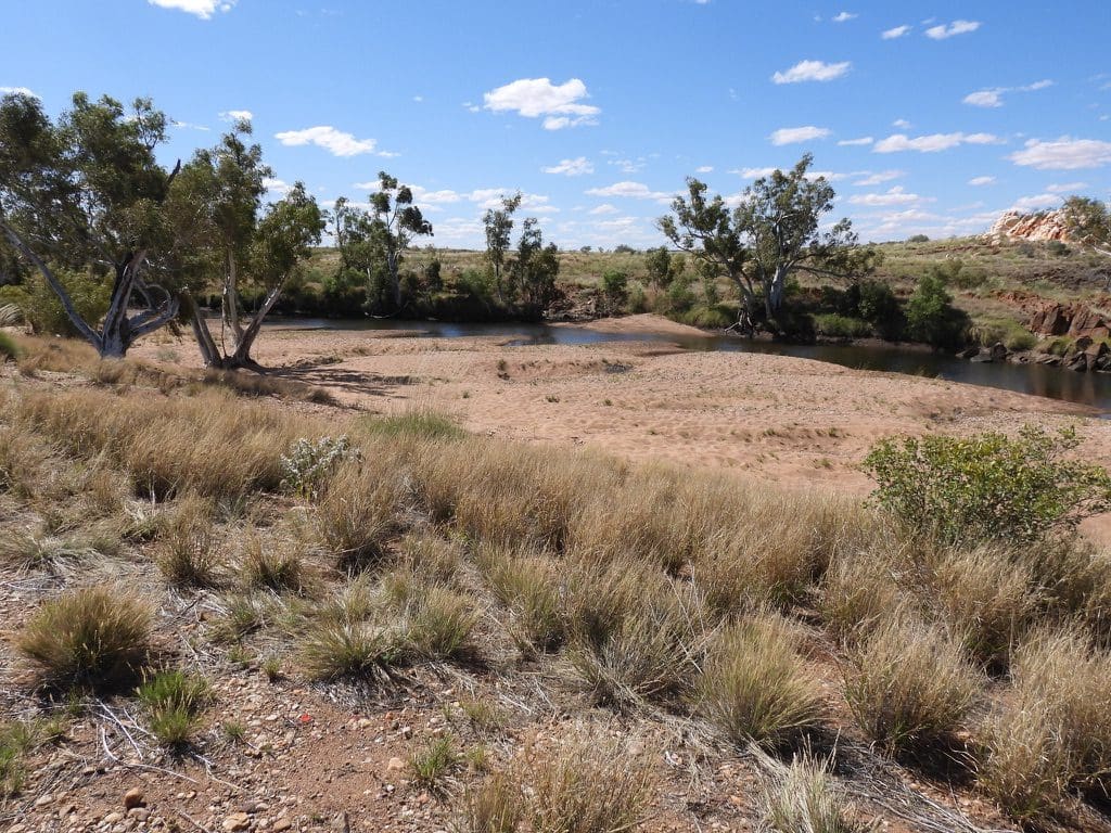
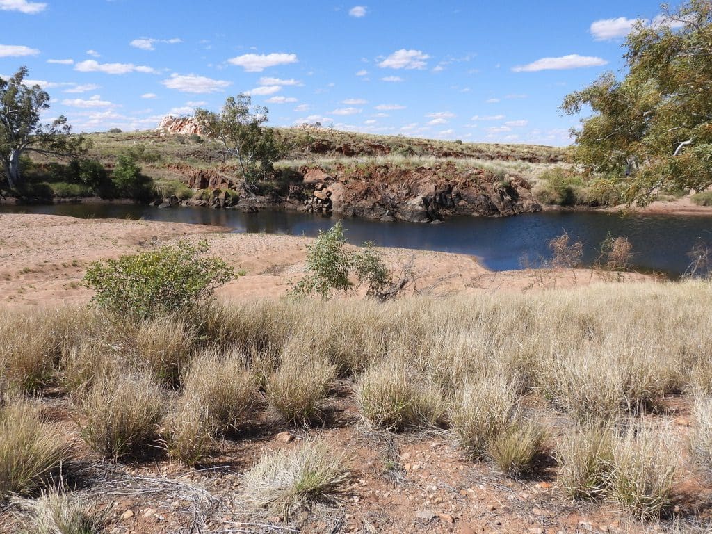
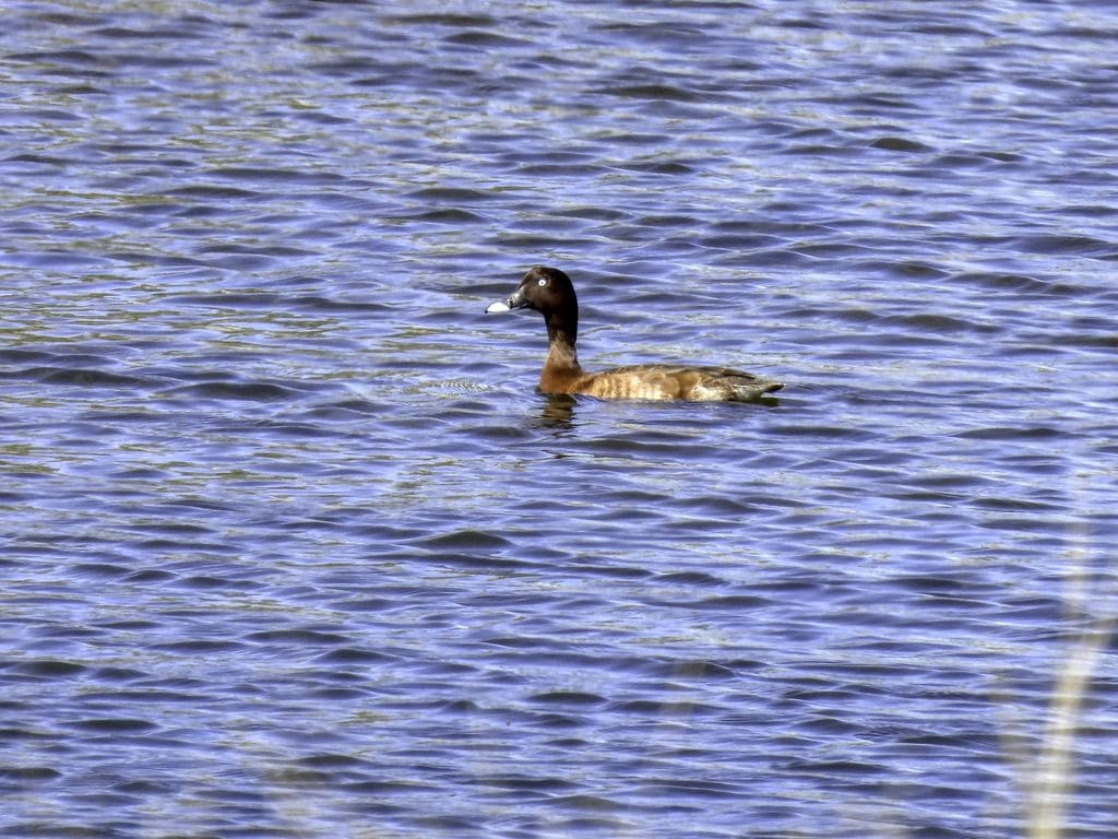
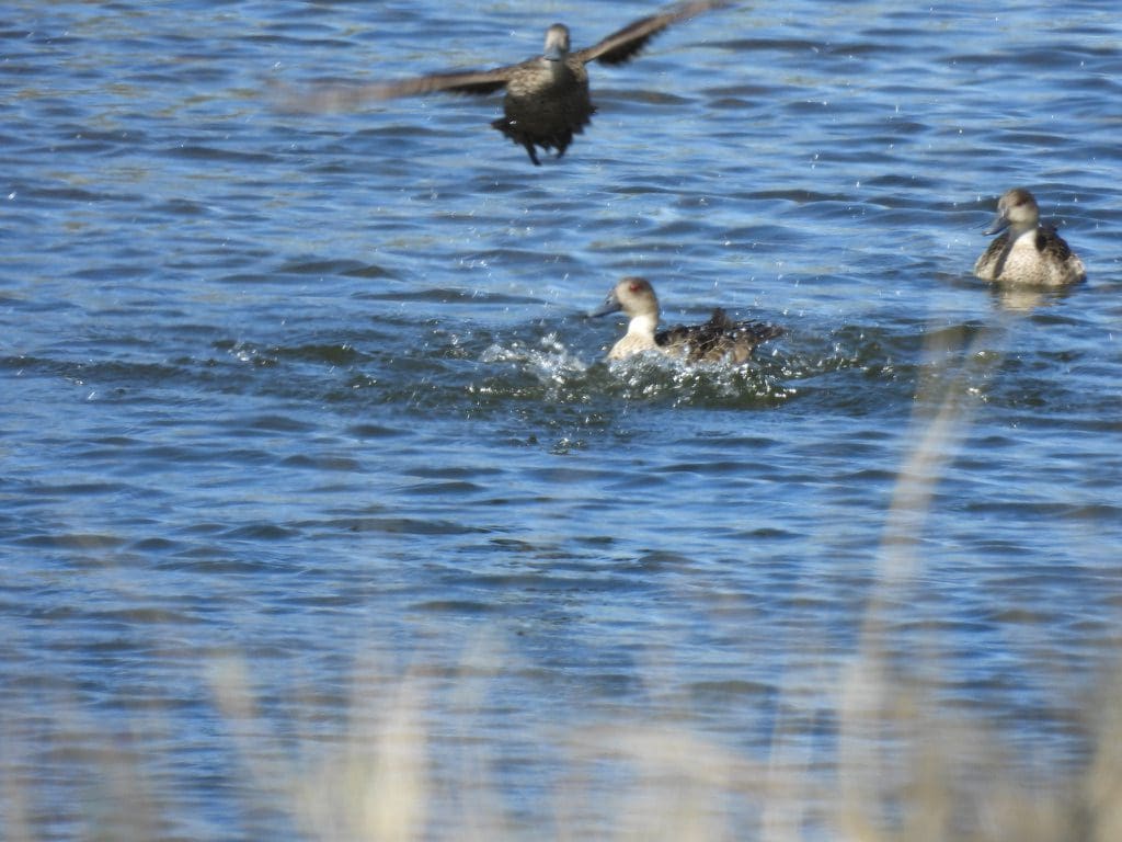
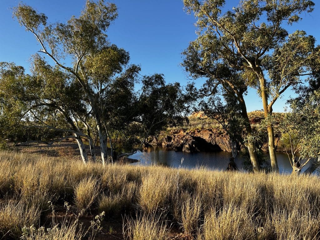
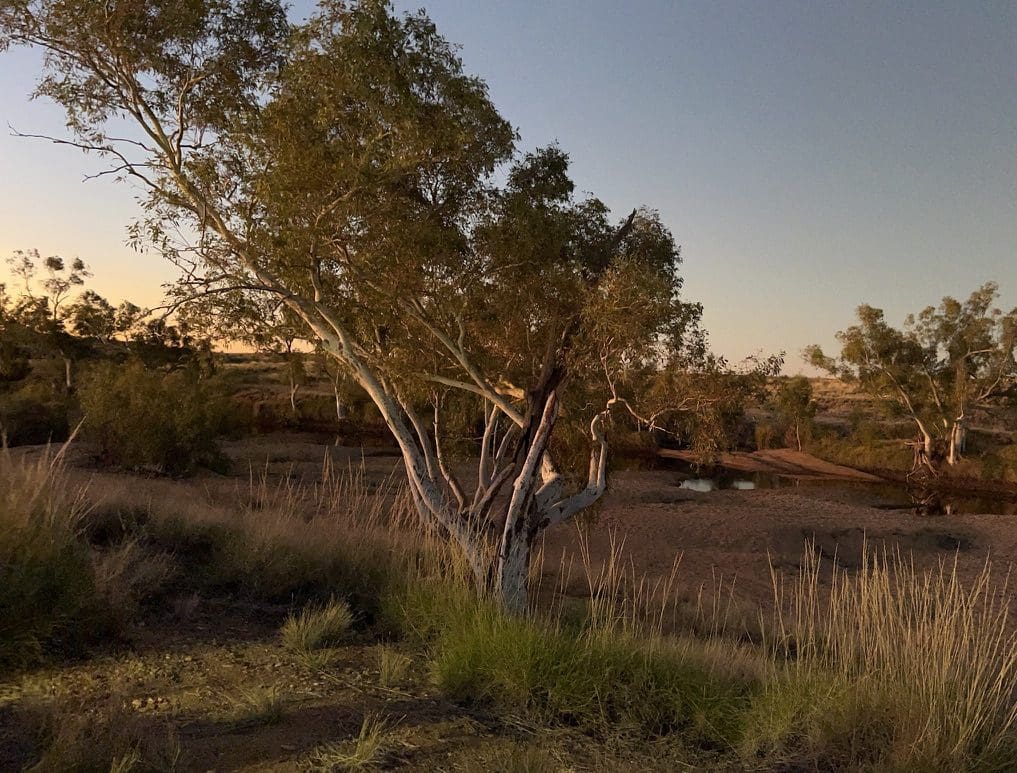
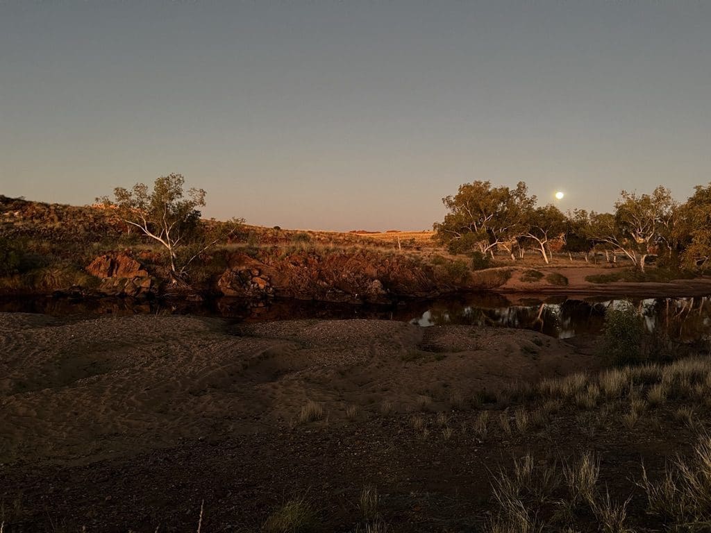
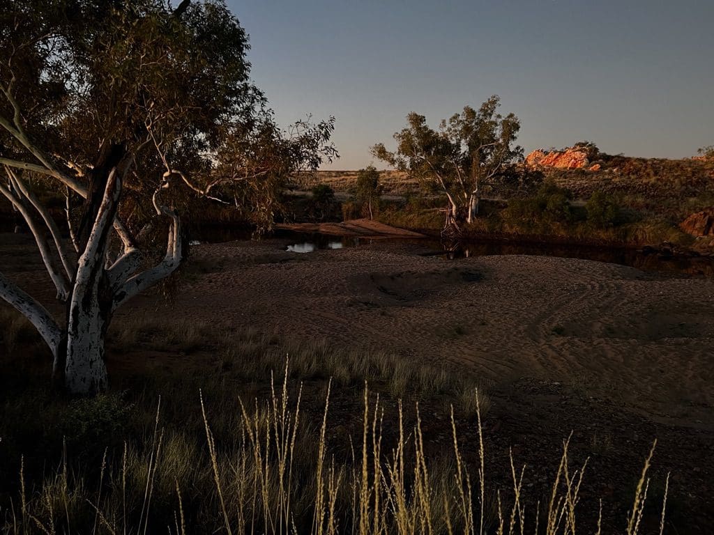
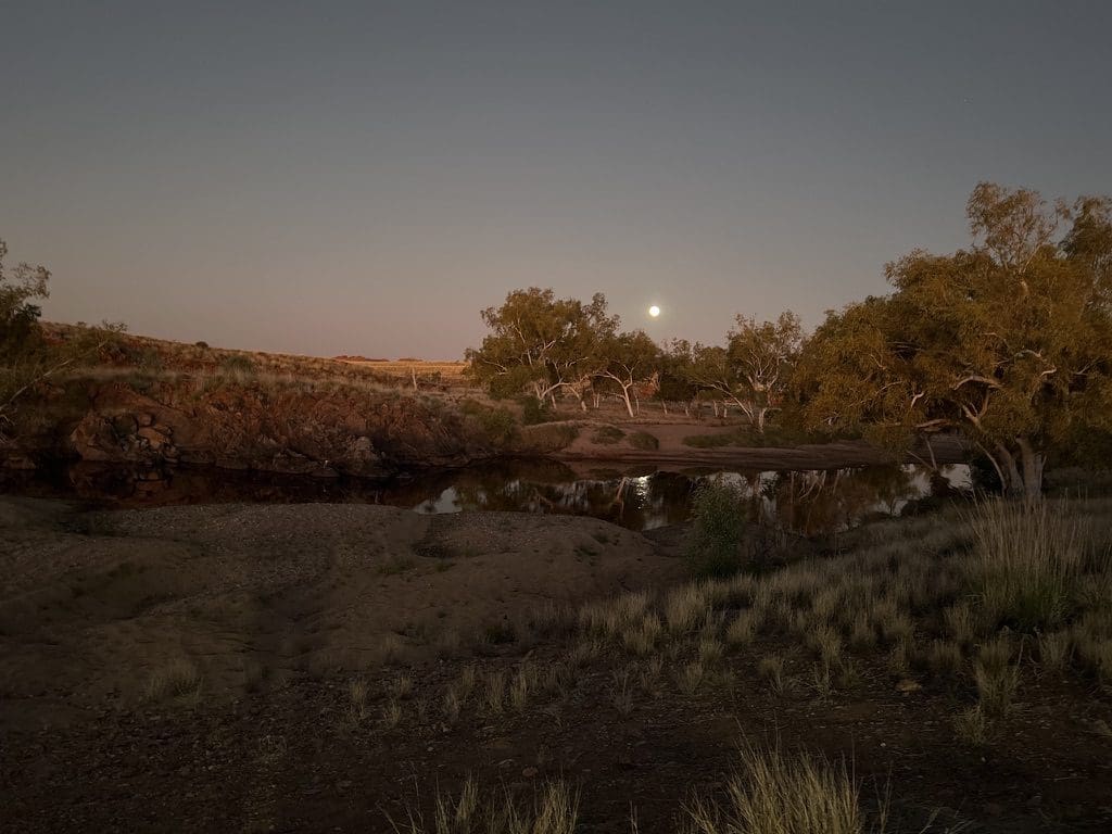
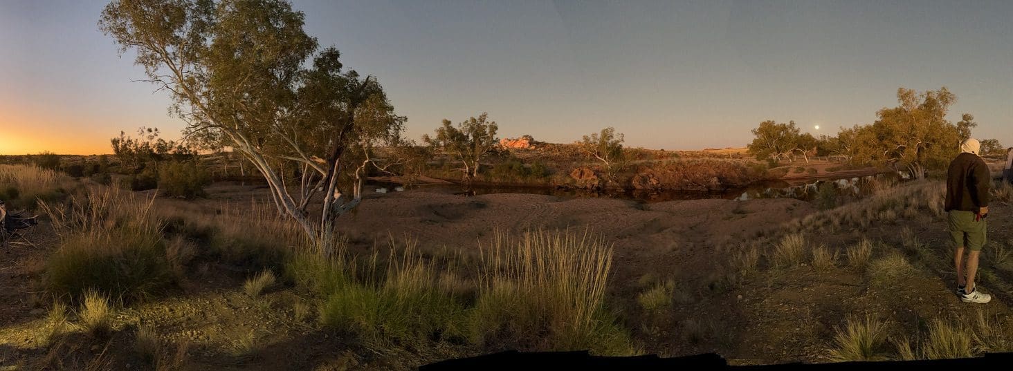
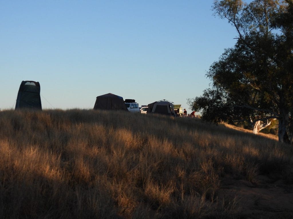
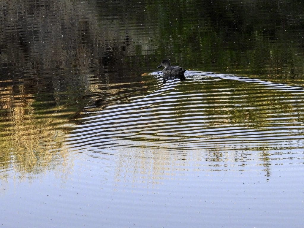
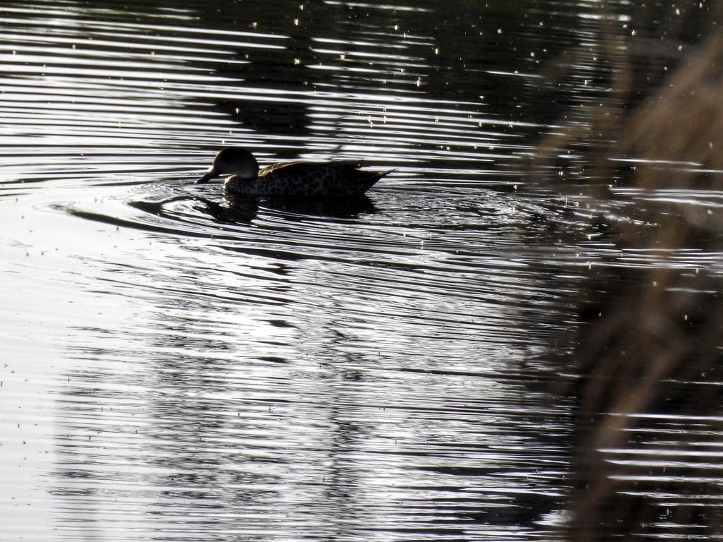
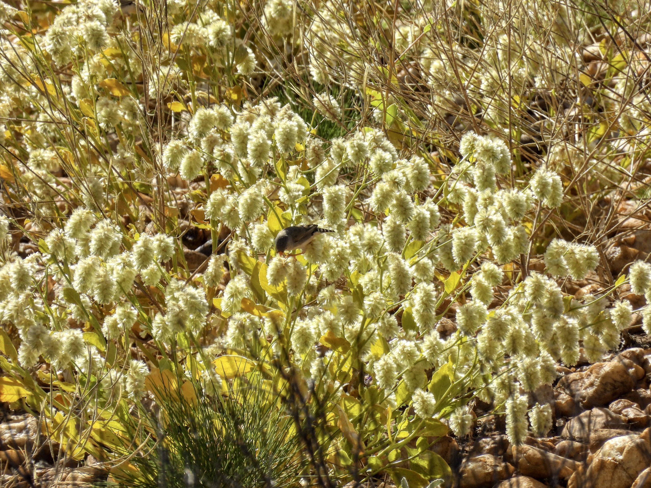
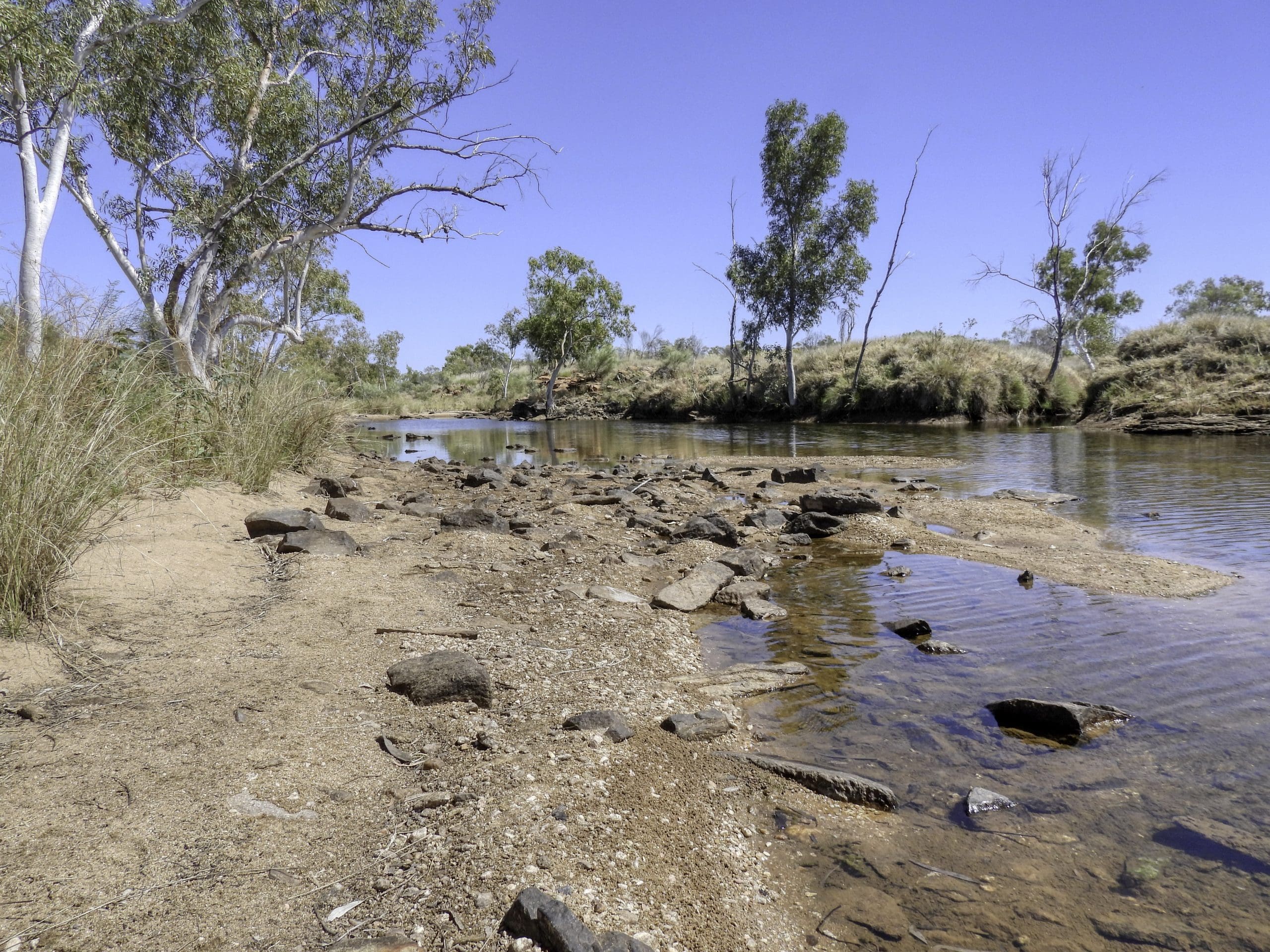
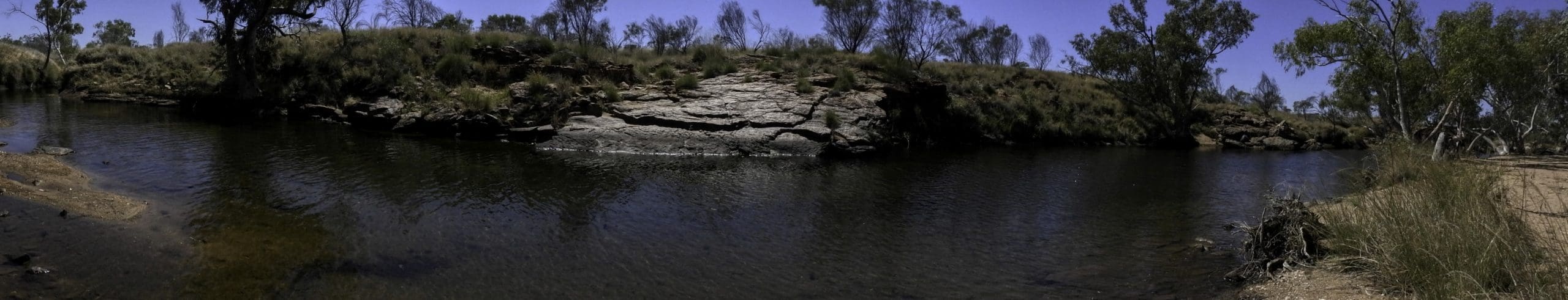
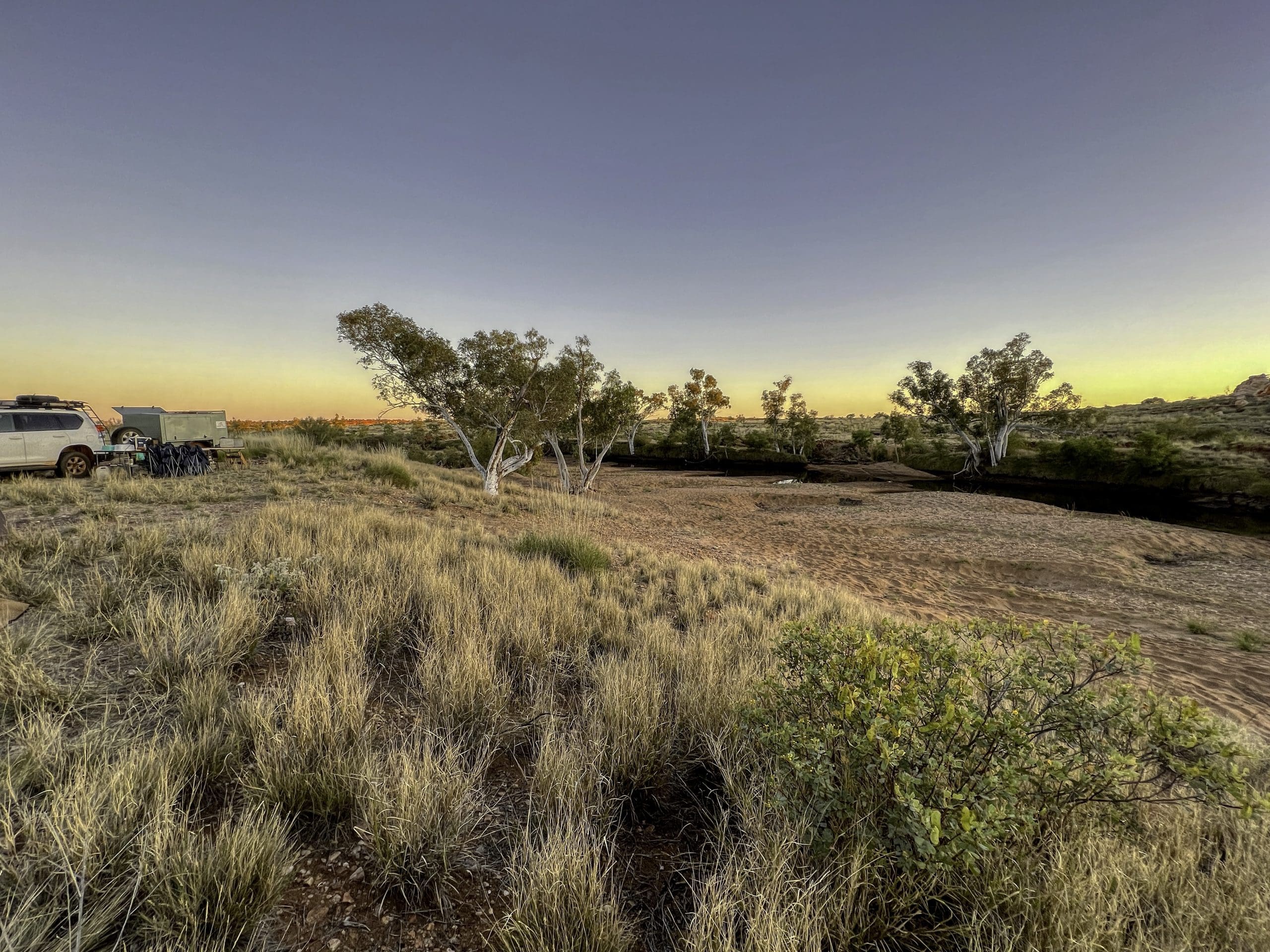
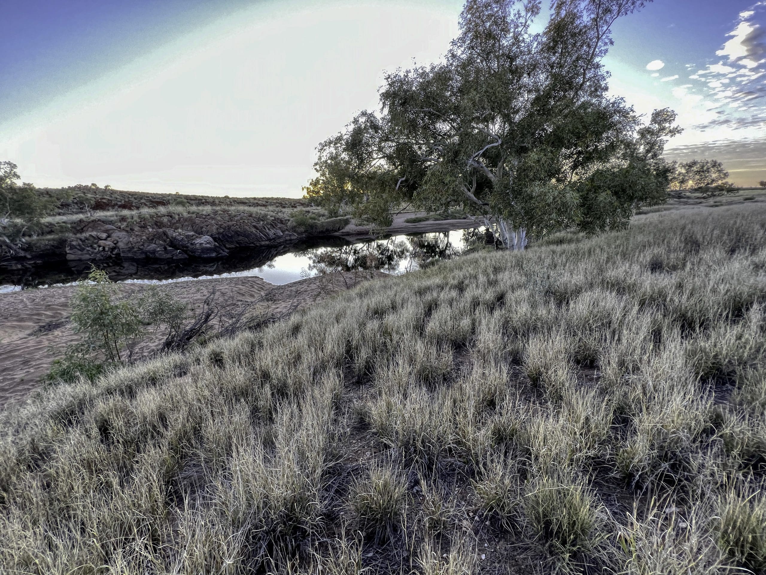
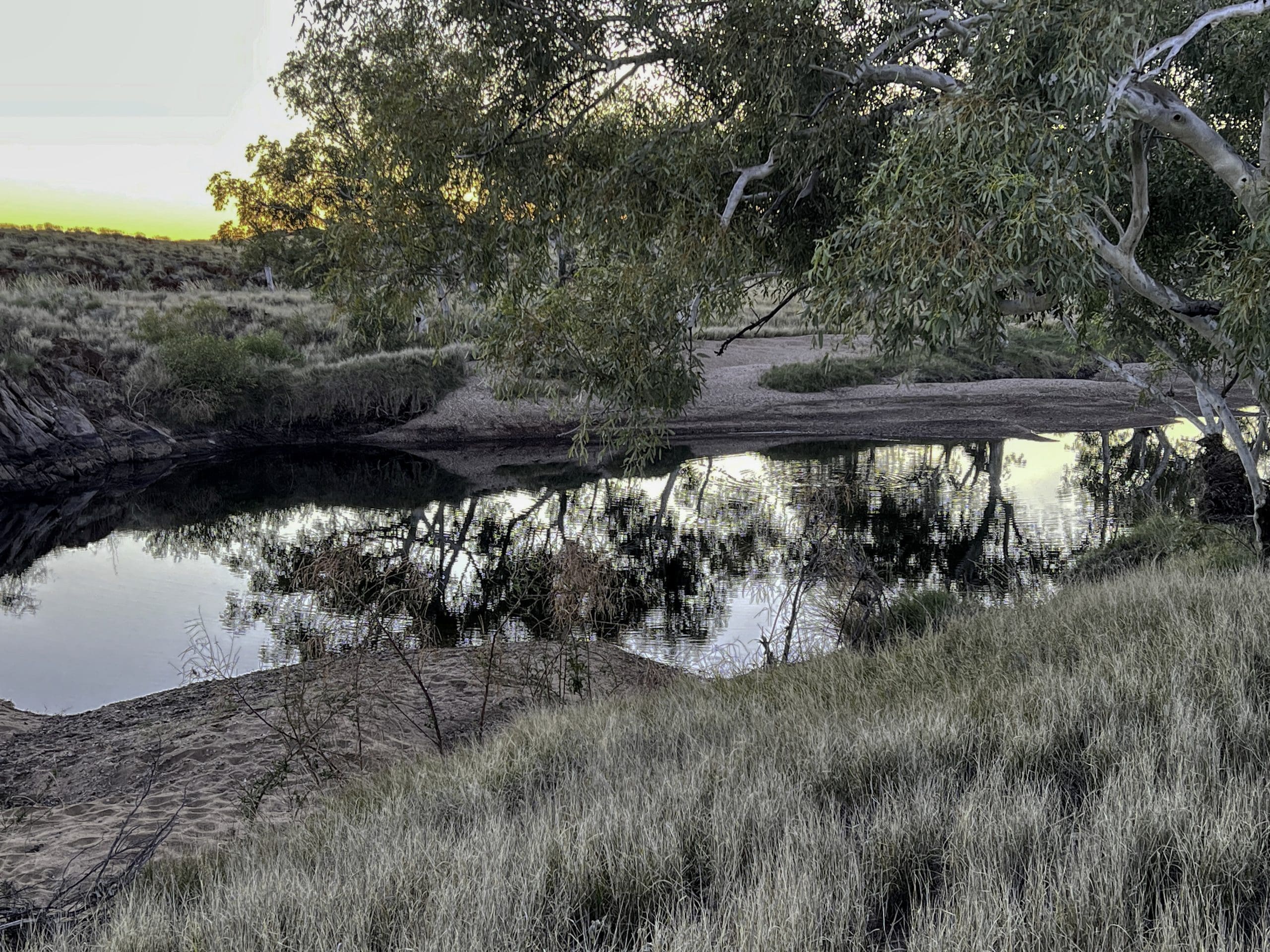
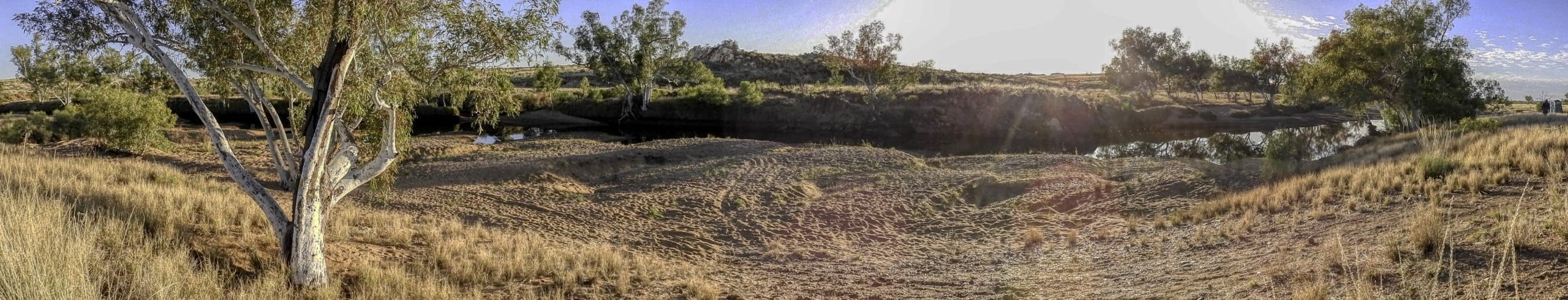
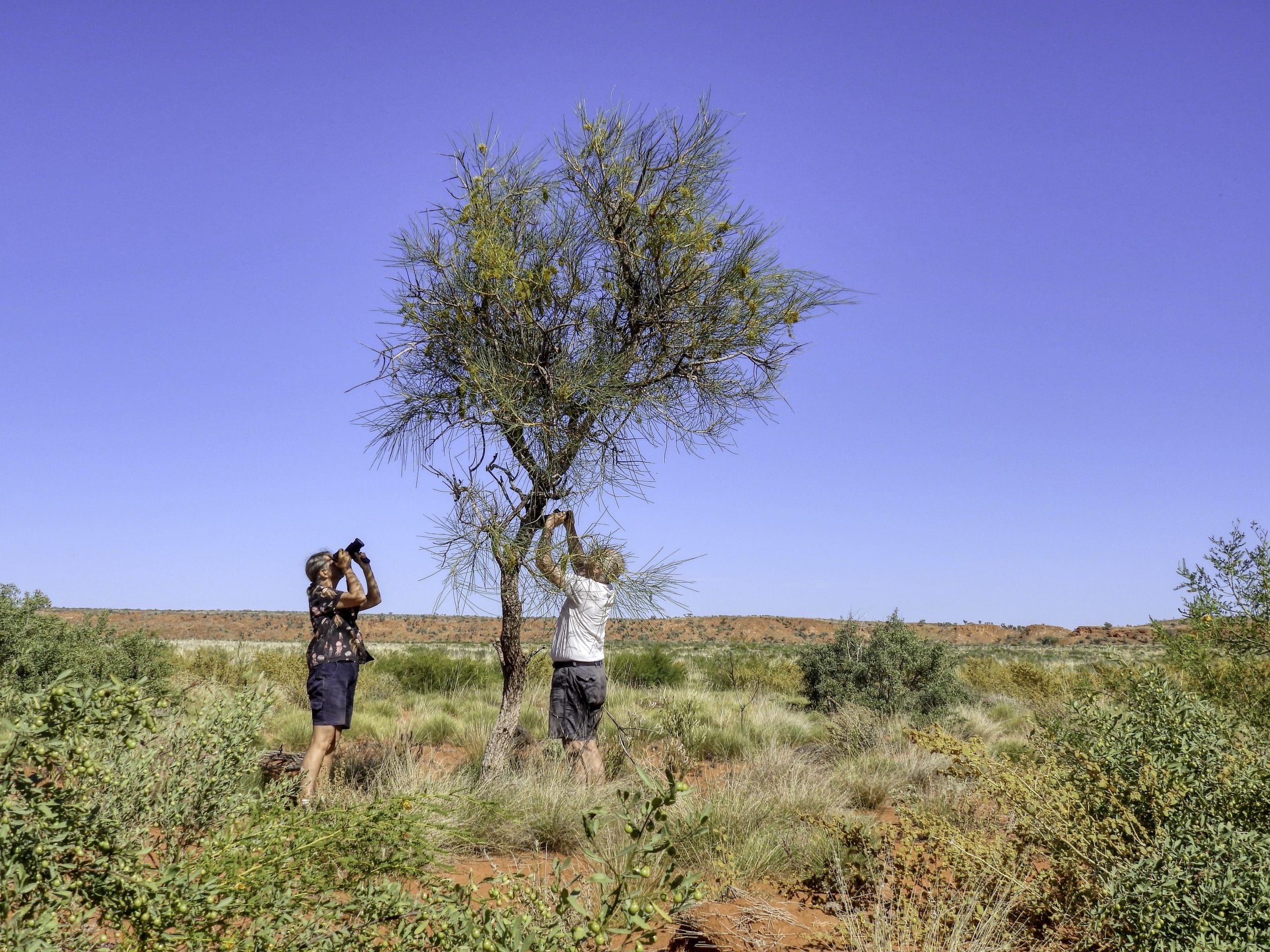
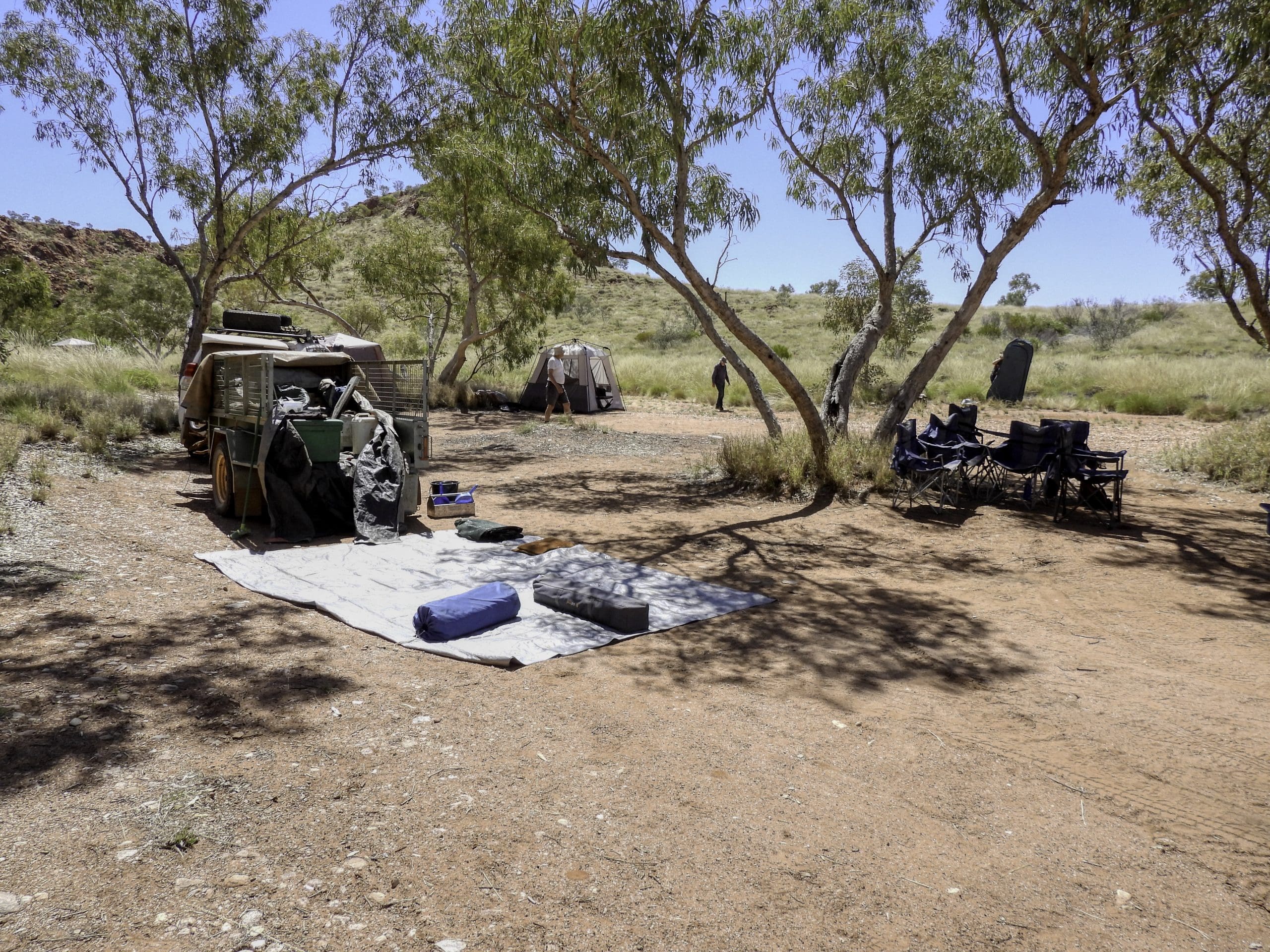
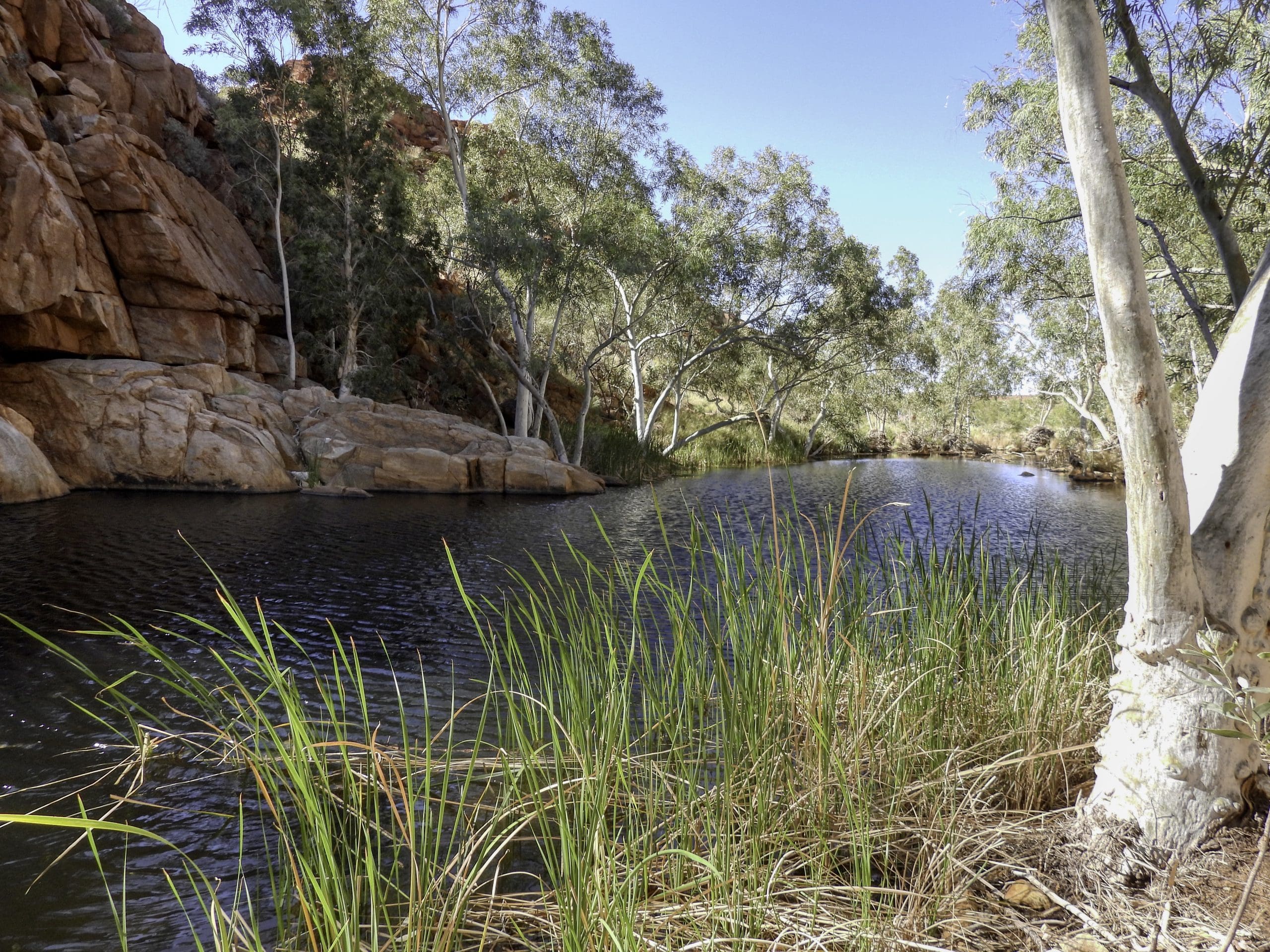
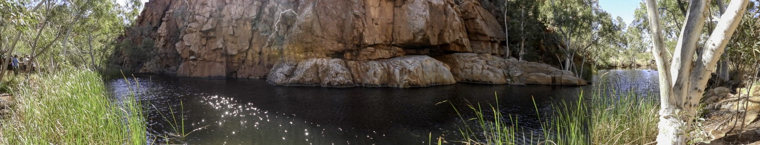
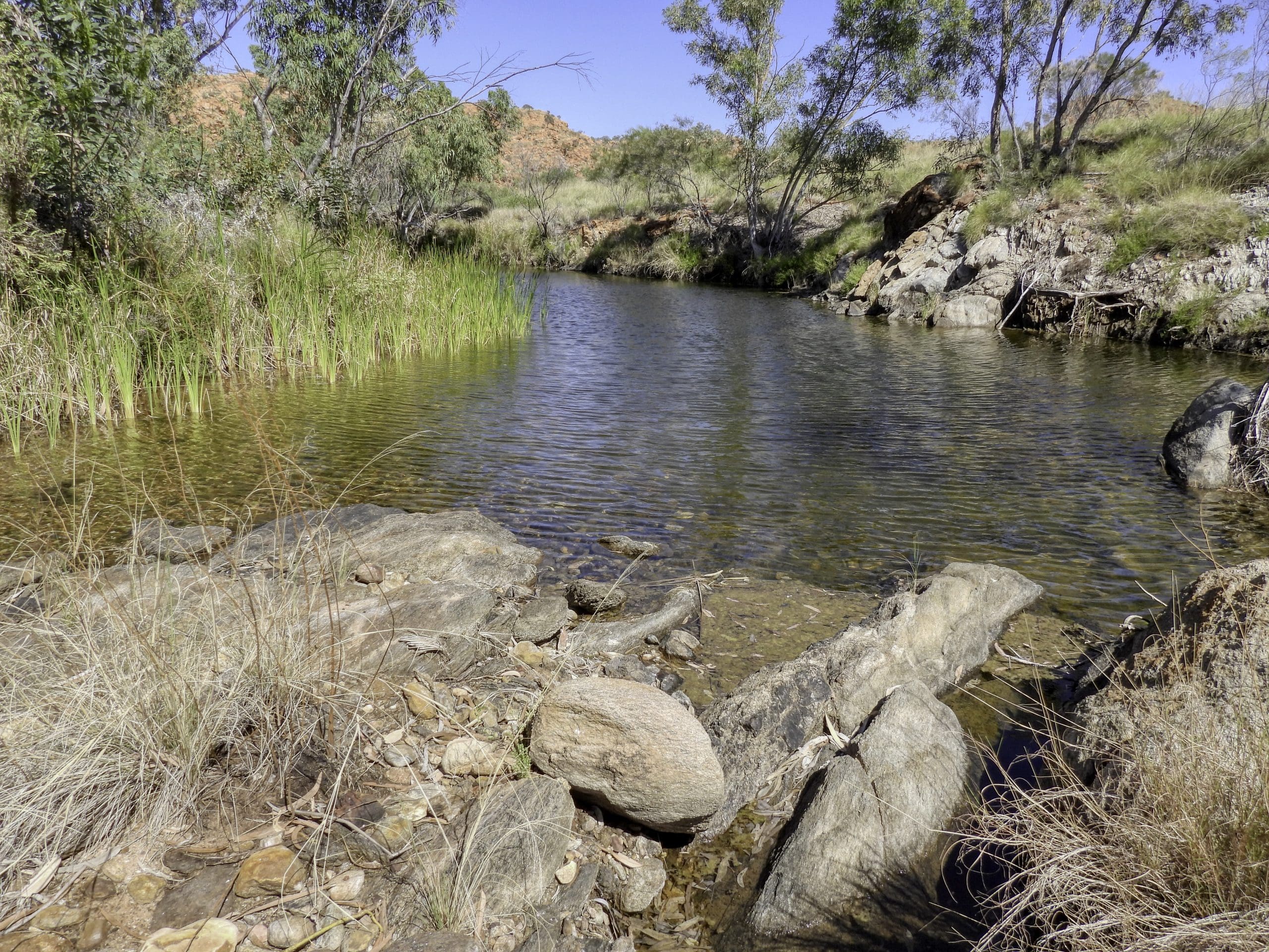
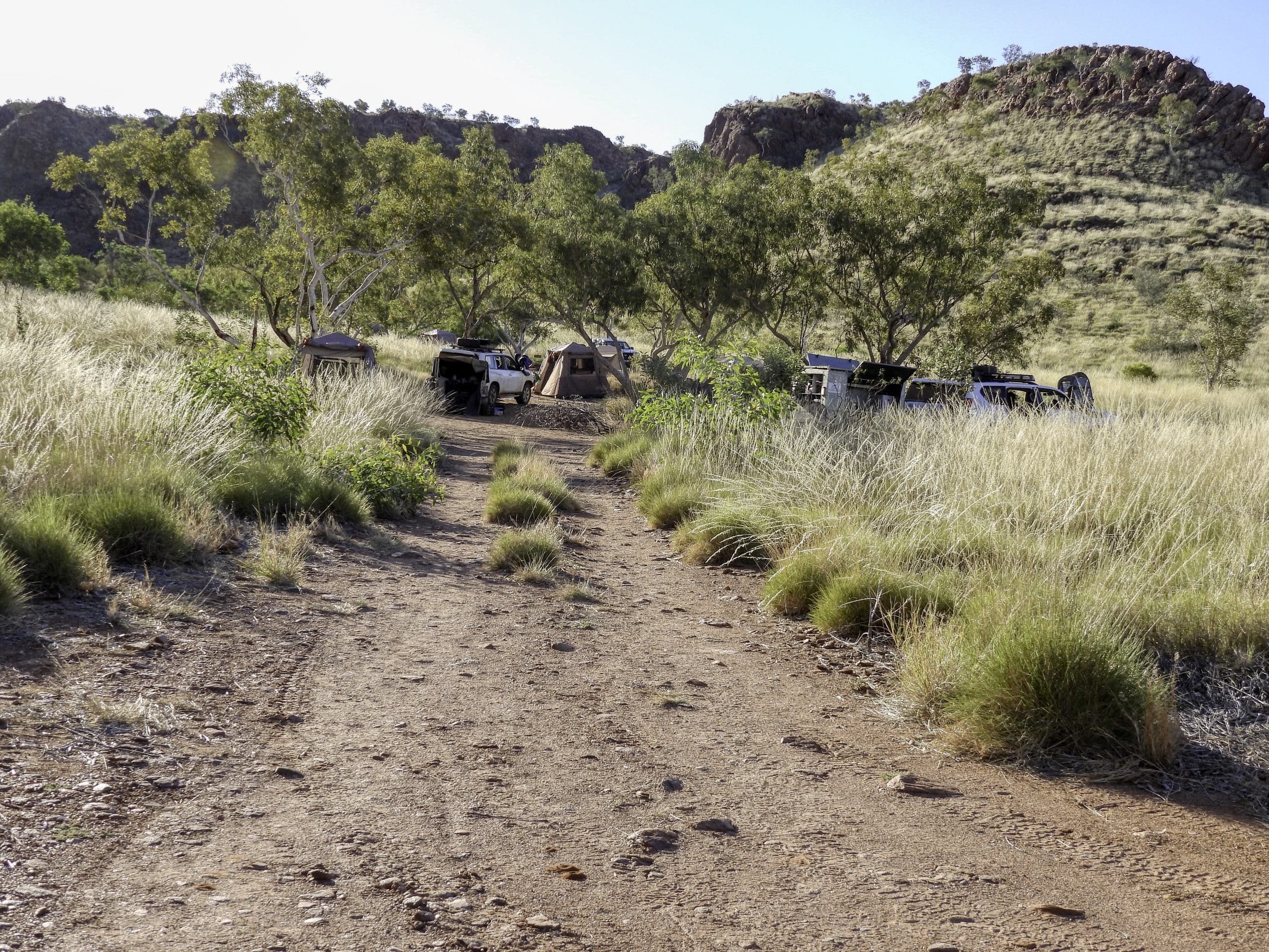
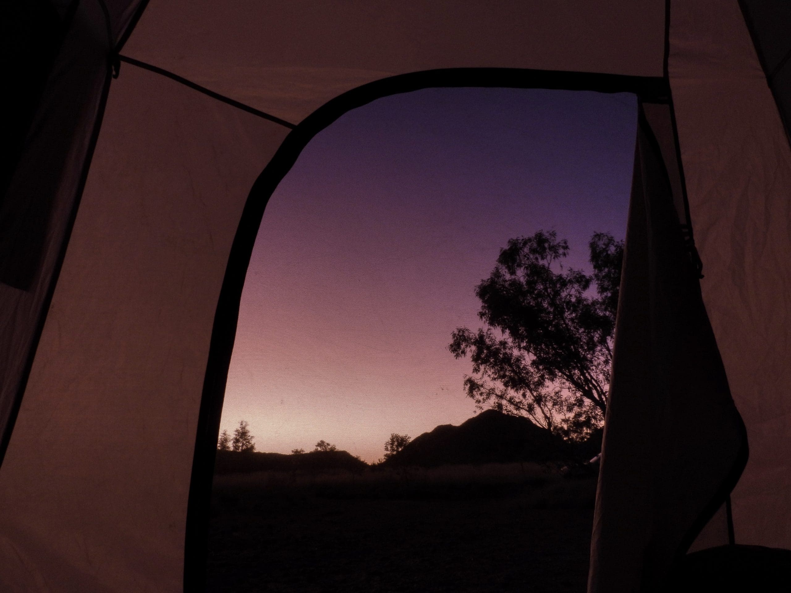
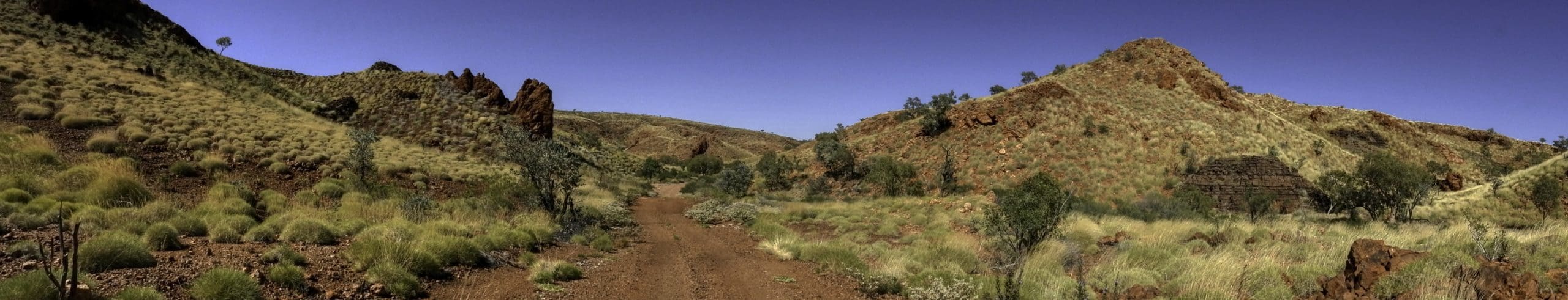
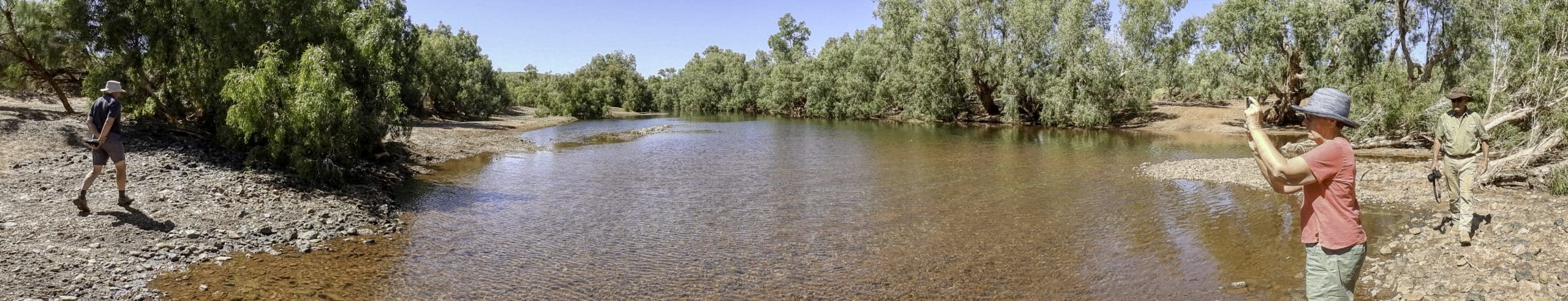
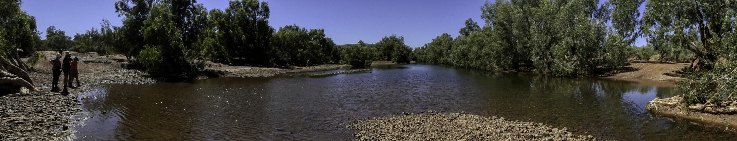
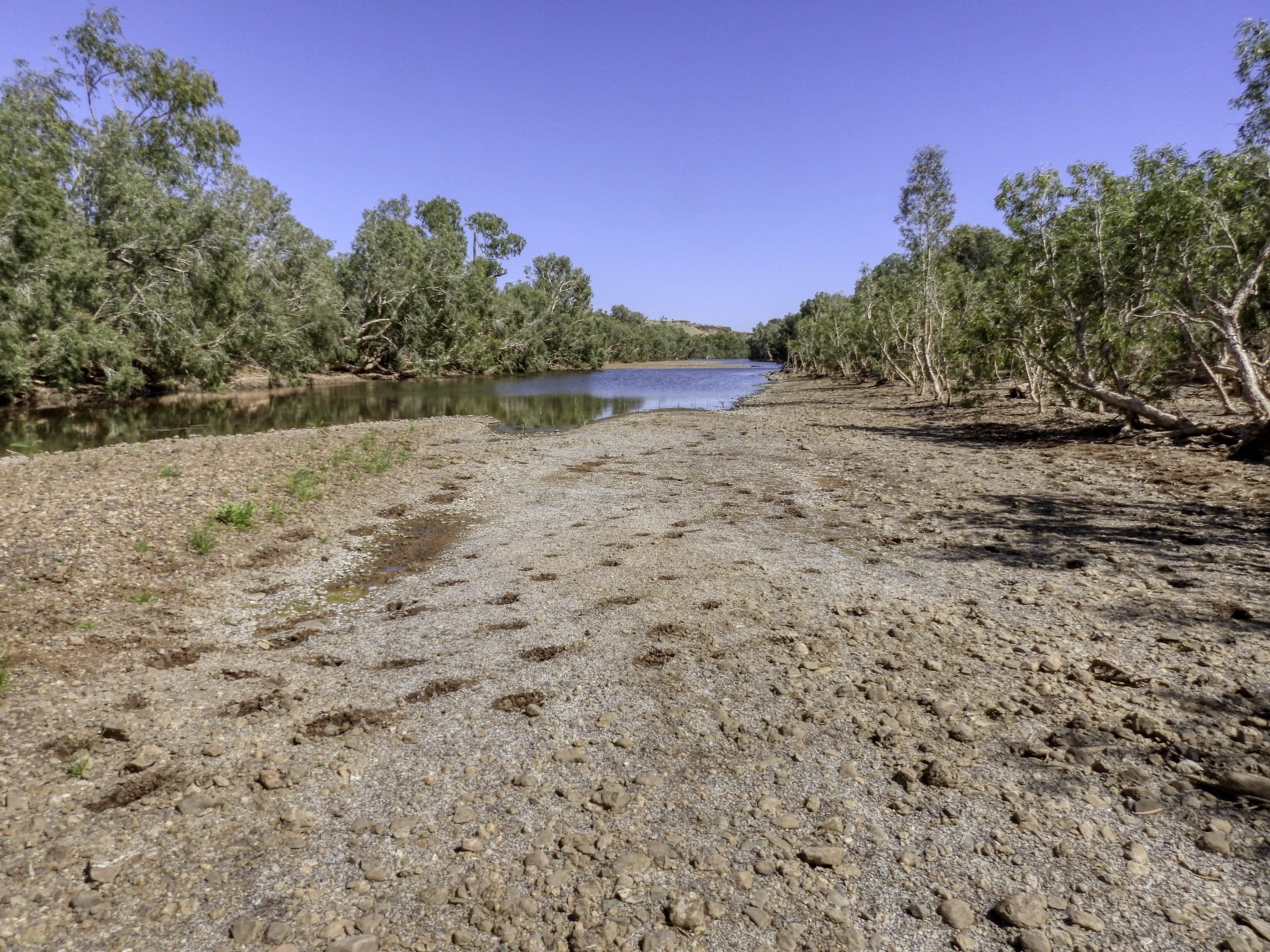
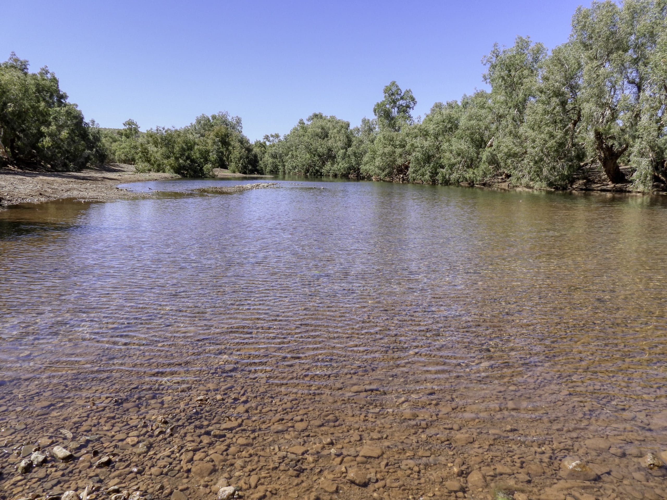
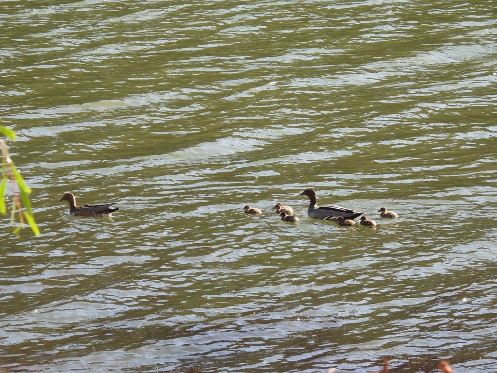
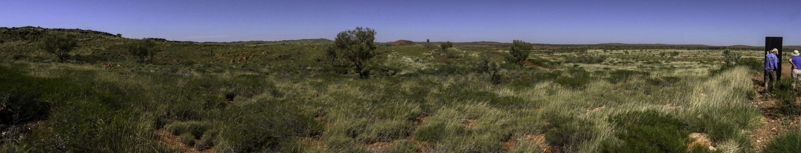
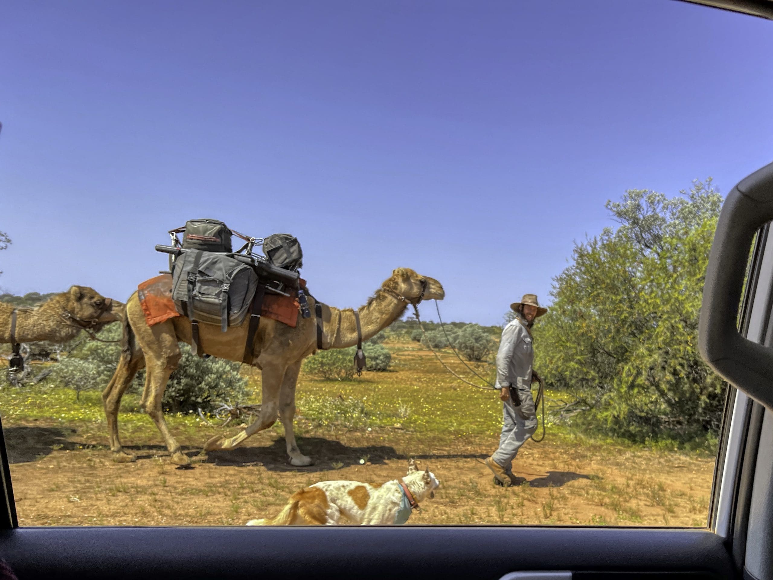
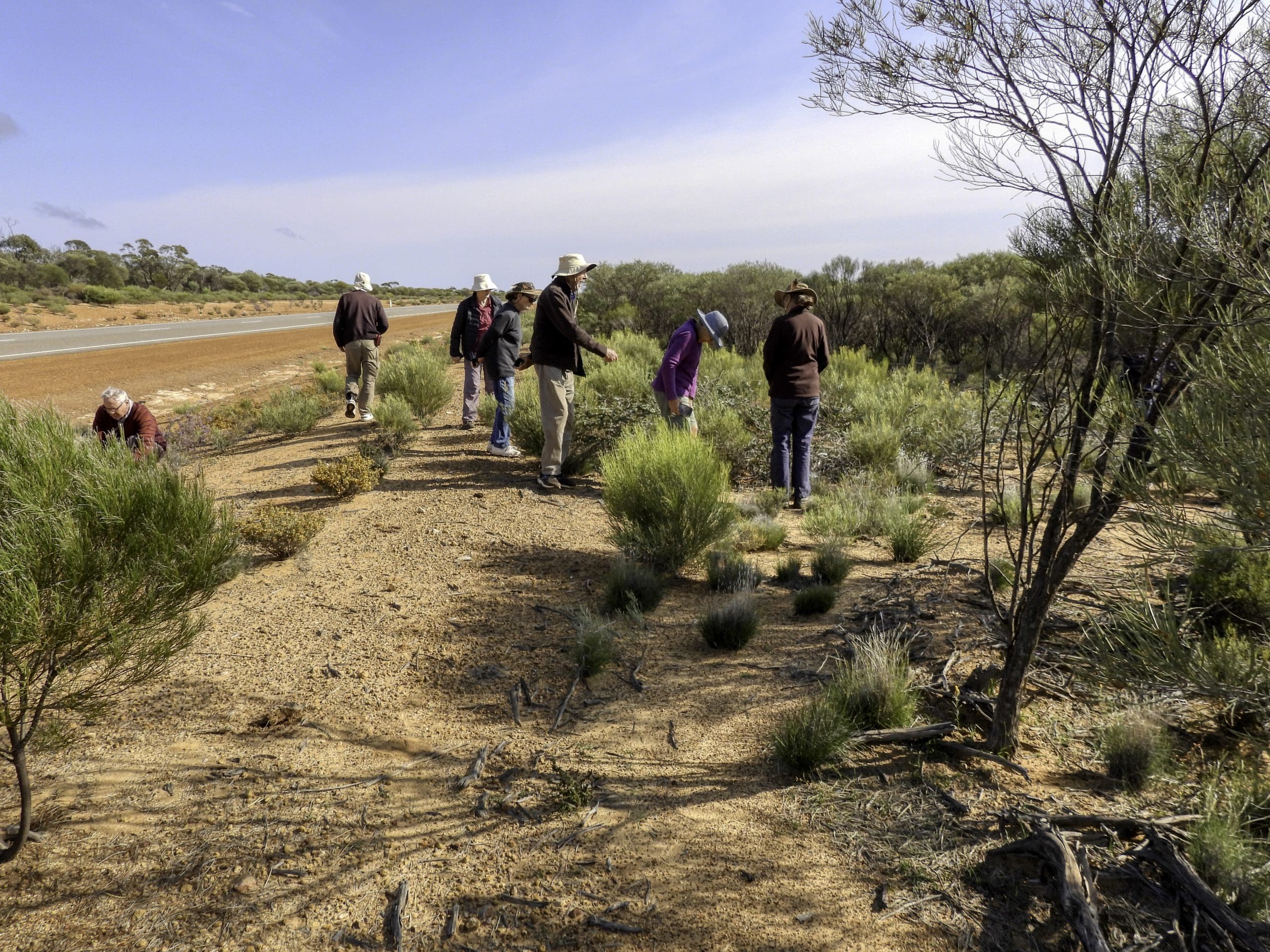
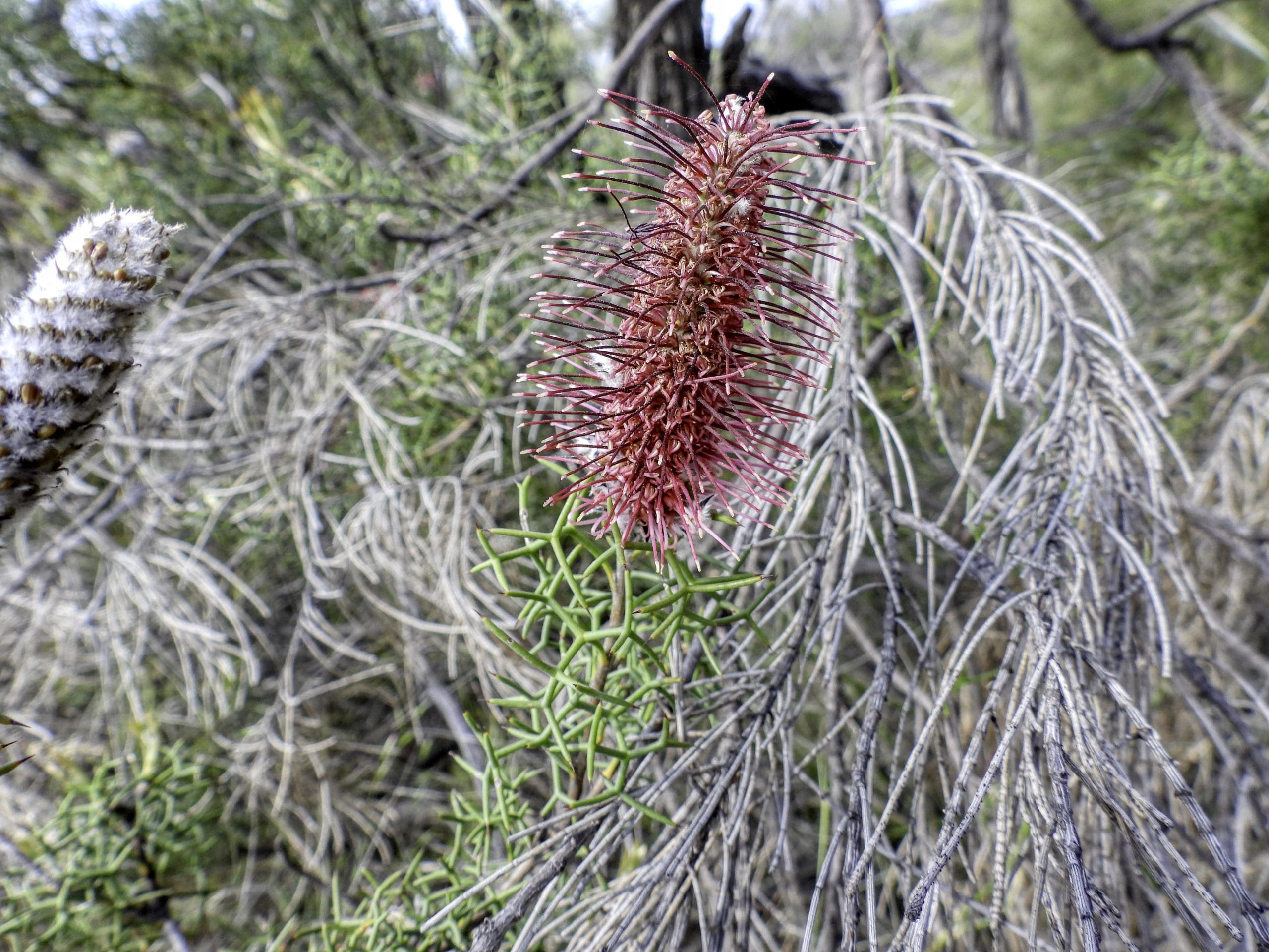
Day 4, Saturday 10 September. Another early start. The group is beginning to get along well – working together and sharing stories. Away by 7:45. Drive east along just outside the southern boundary of the Karlamilyi National Park. Frequent stops for flowers and birds. (Frequent stopping will be a significant plus for us. We don’t just roar past, if we see something interesting and even if we don’t, we will stop often.) Quite a lot of small birds feeding in the spinifex. Usually the road runs in the area between the dunes just occasionally crossing dunes. This Beadell road is extremely well formed. At about 9:45, we turned off that lovely Beadell road onto a poorly maintained track. About 10 minutes along that, we stopped in a grove of white trunked mixed eucalyptus. A very rough track. A few kilometres along, the bull bar on our vehicle began to fall/vibrate off as its bracket began to fatigue and fracture. We stopped for lunch and took the bull bar off. A difficult job – that bull bar is heavy. We stored it at the front of one of the trailers. Drove following the Hema map to where it had our campsite marked. It was wrong. It led us to a difficult place to cross the Rudall River. We backtracked to a different track to the River that led us to a nice swimming hole (held back by a quartz bluff/reef) and what turned out to be a delightful campsite. We are certainly in the tropics now. We crossed the Tropic back at Newman. Shorts and sandals. Hardhead ducks in the water hole. Our group has several ‘naturalists’. WA nats have been heavily involved with Coates Tours from its inception. Our guide is a naturalist. The other driver runs WA reptile park. The two tag along people are nats – mainly plants. One of the other guests is also a WA-Nat – also plants. We had a dip in the river/pool this afternoon. All getting a bit tired. Camped at Lirrpi pool.
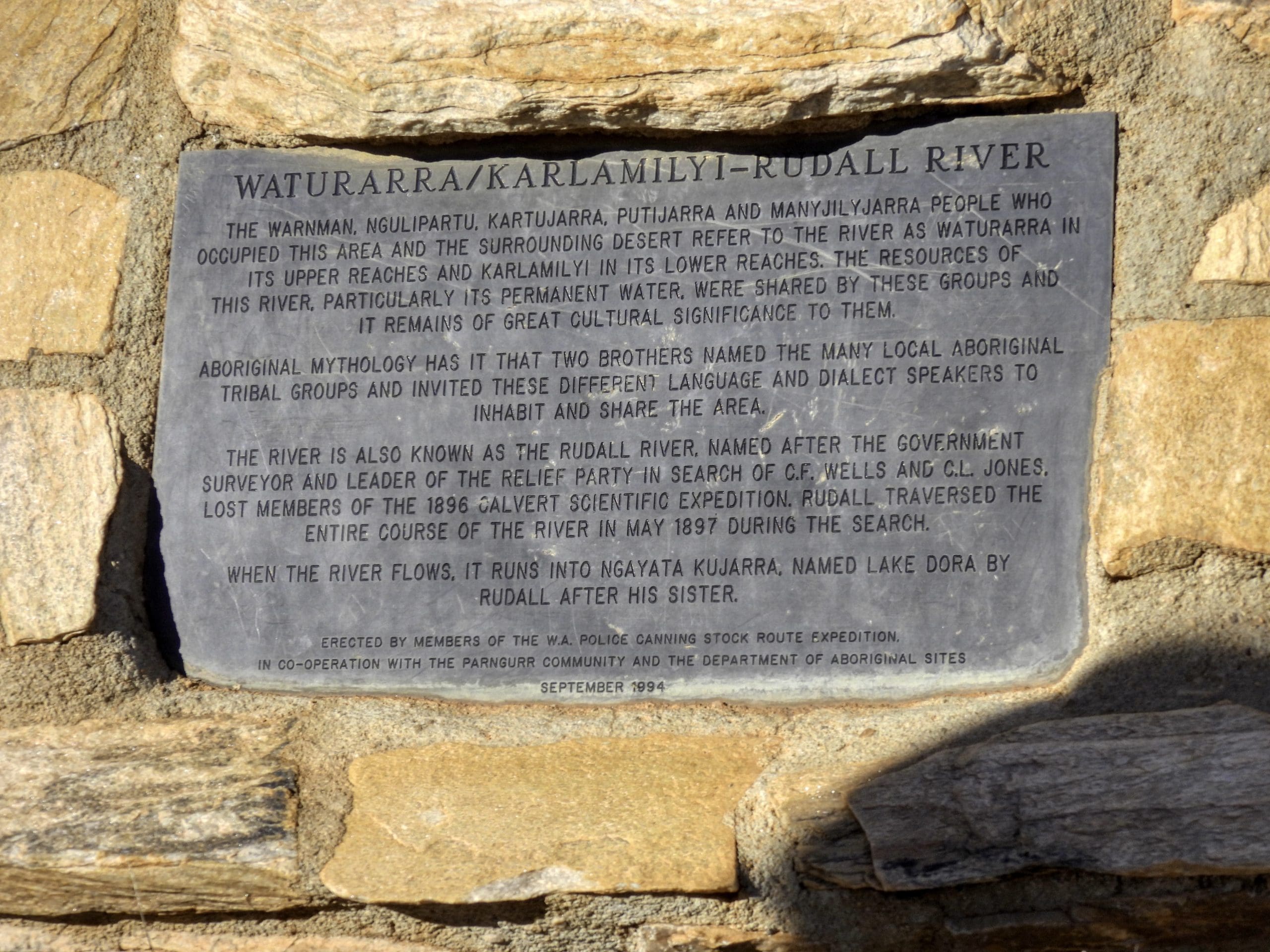
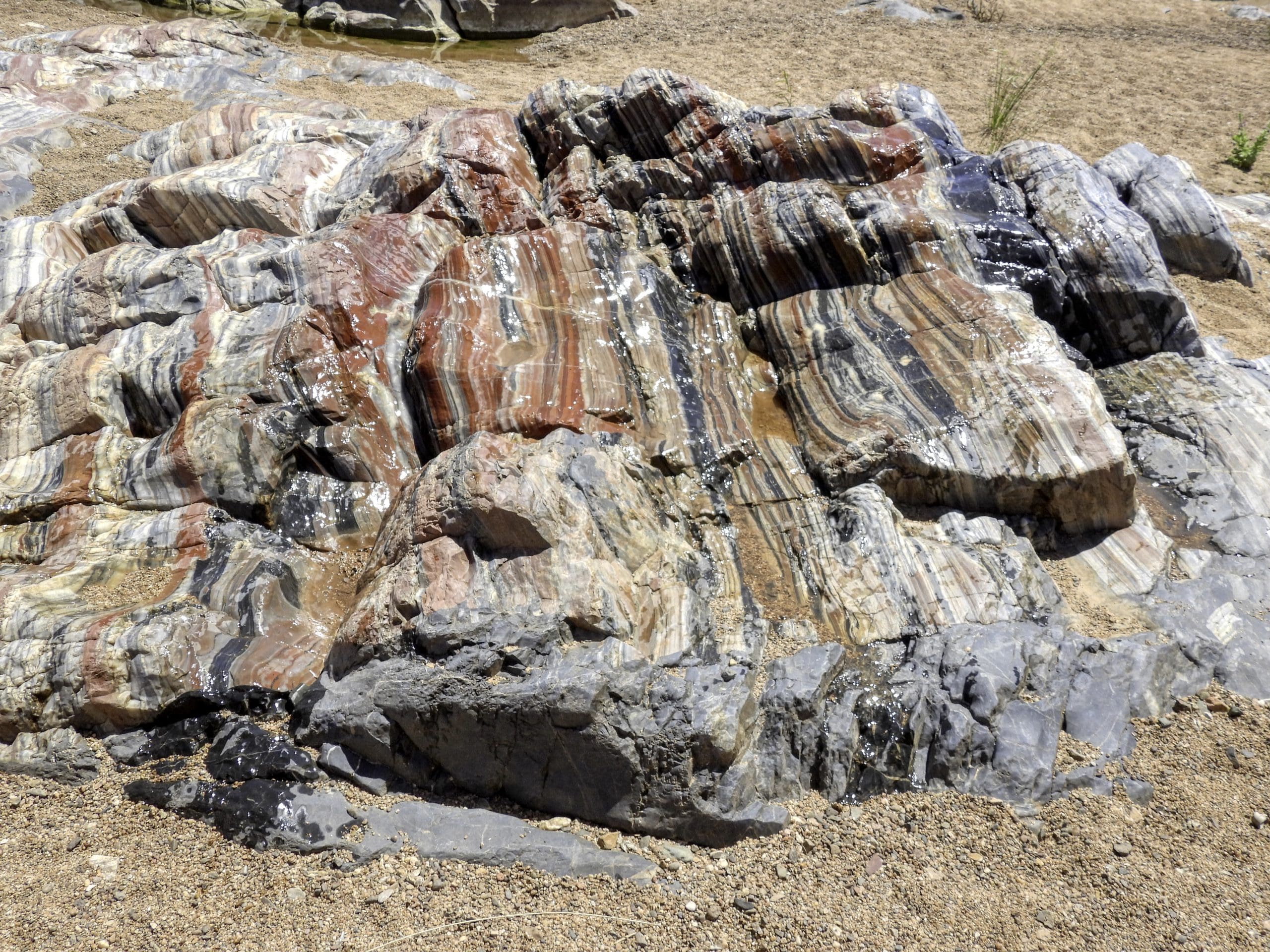
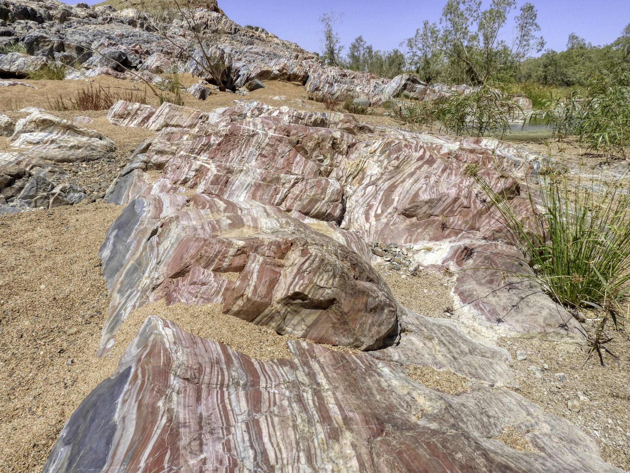
From: Geology of Western Australia’s National Parks by Peter Lane Pages 118 to 121
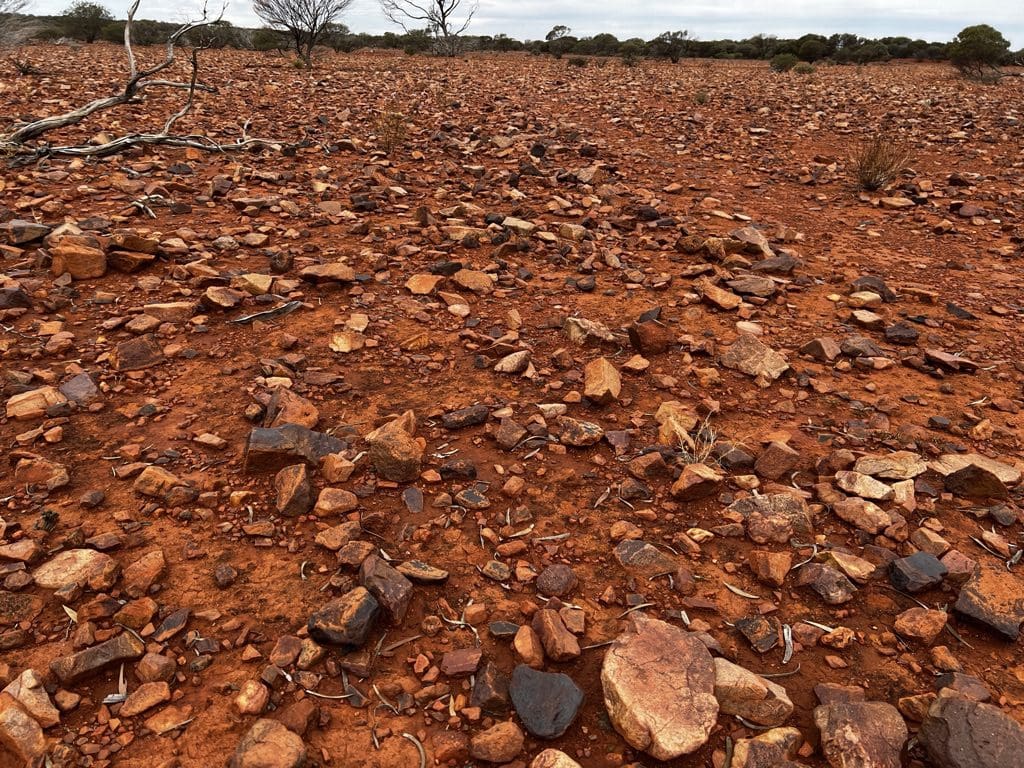
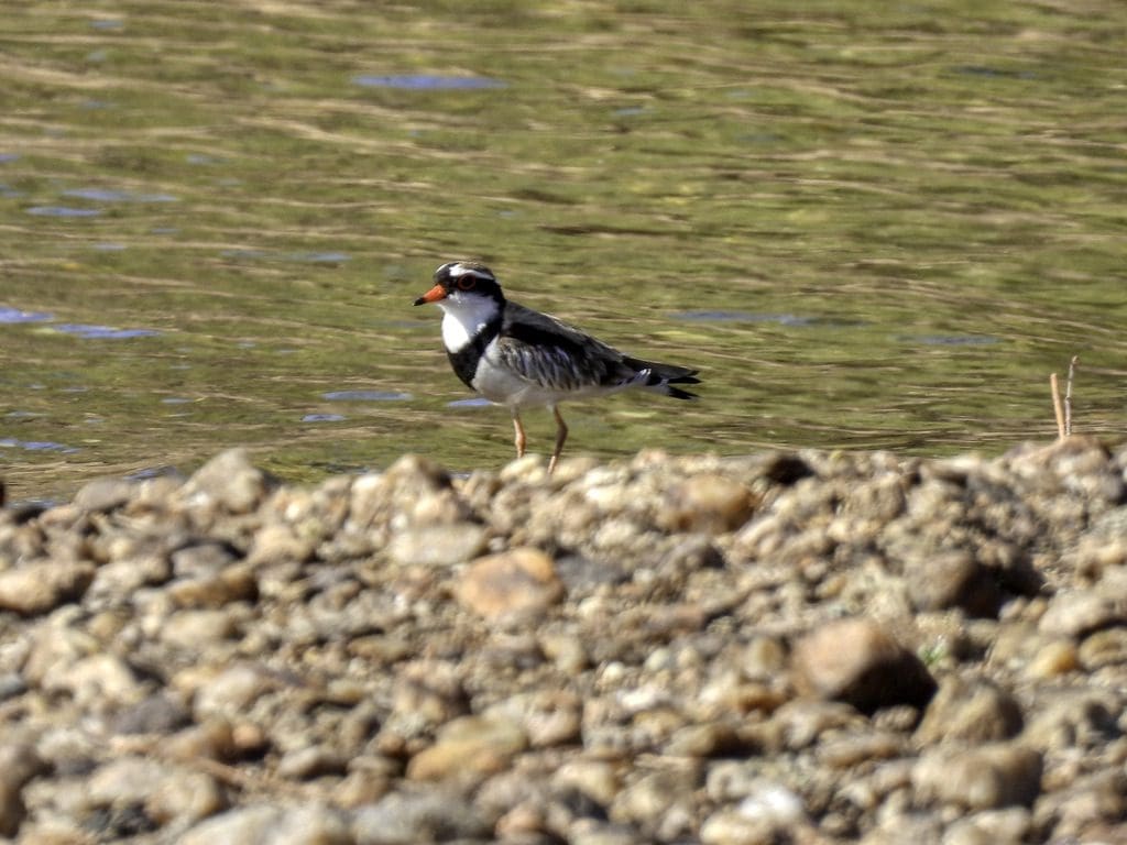
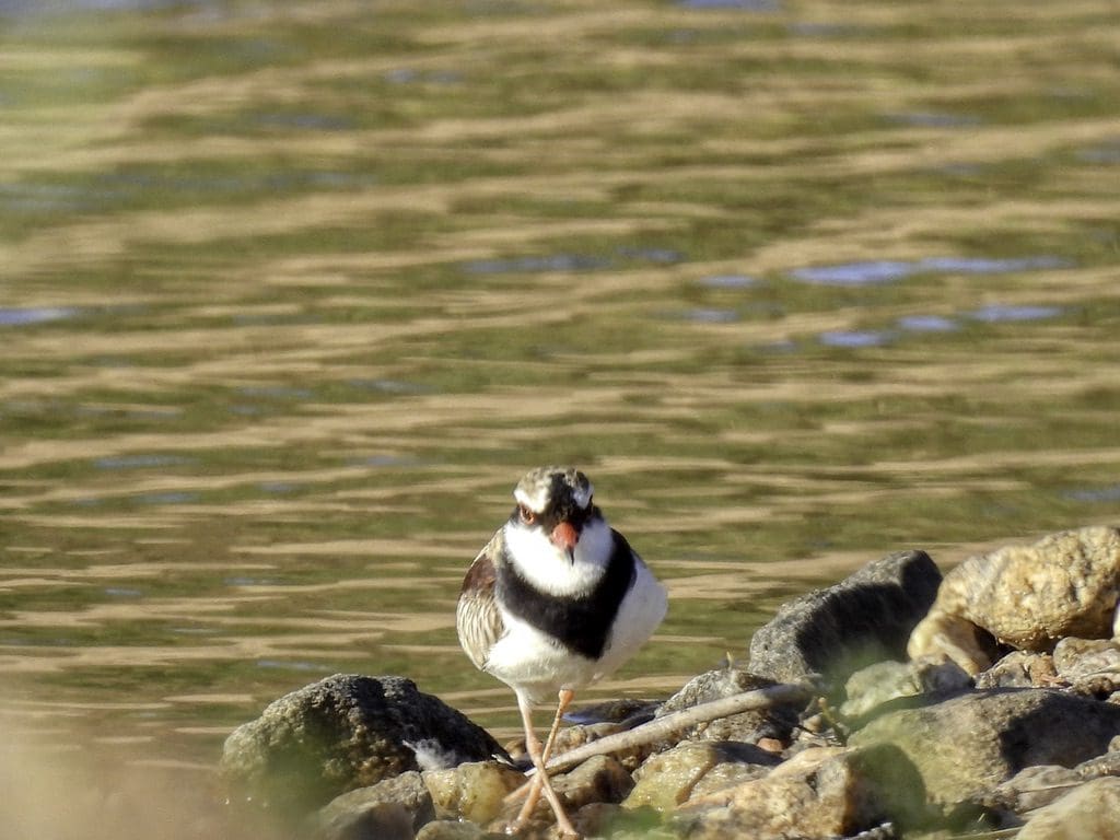
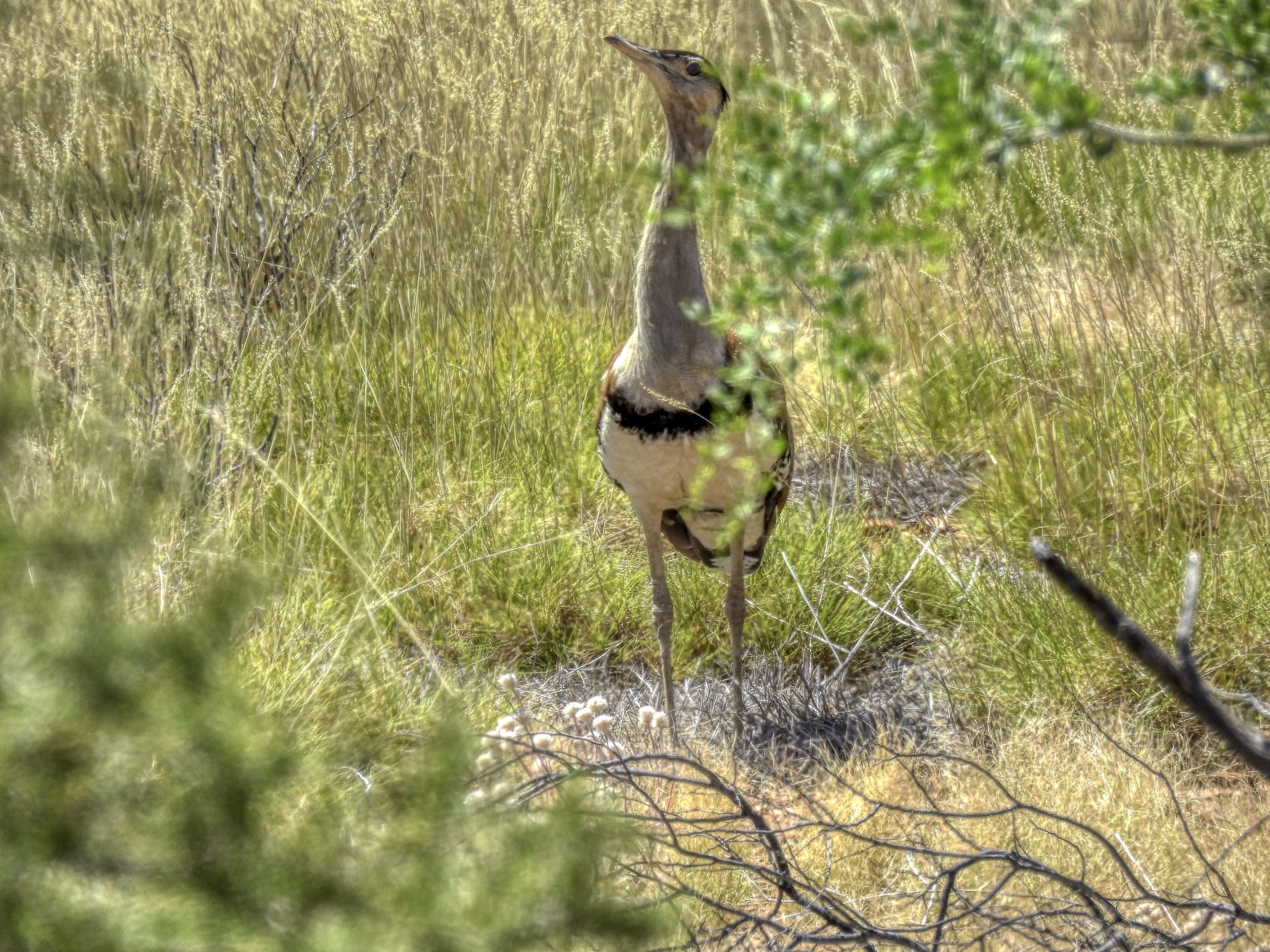
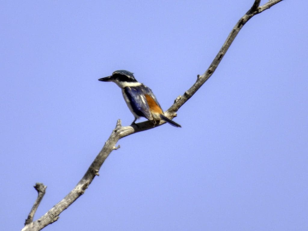
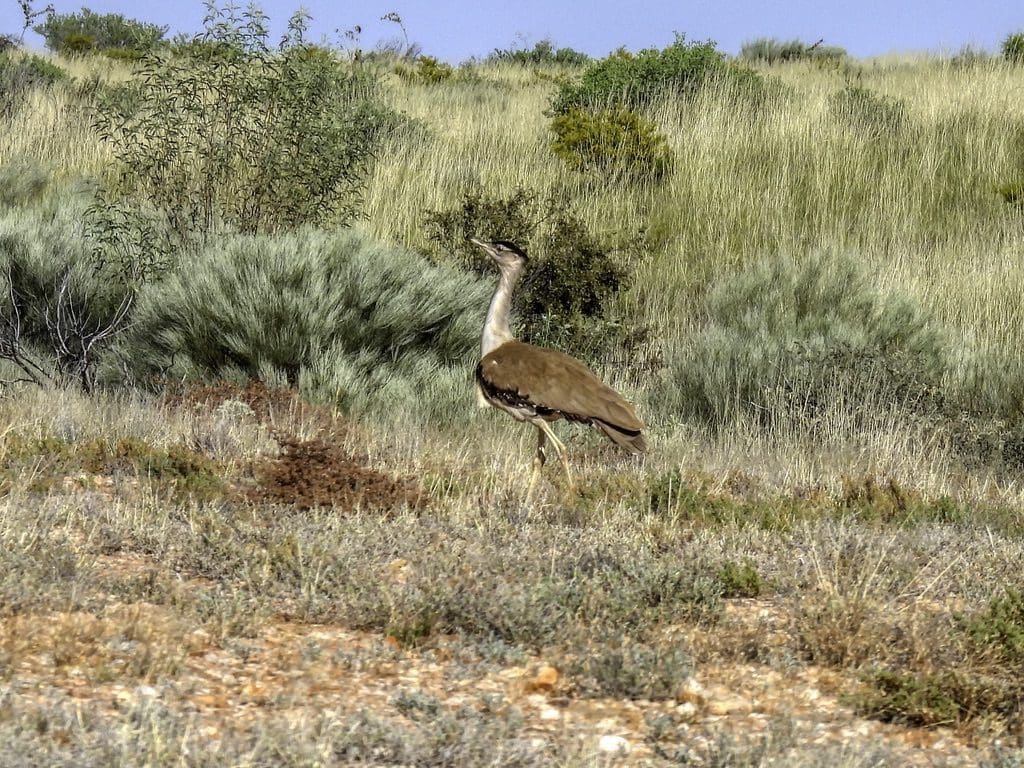
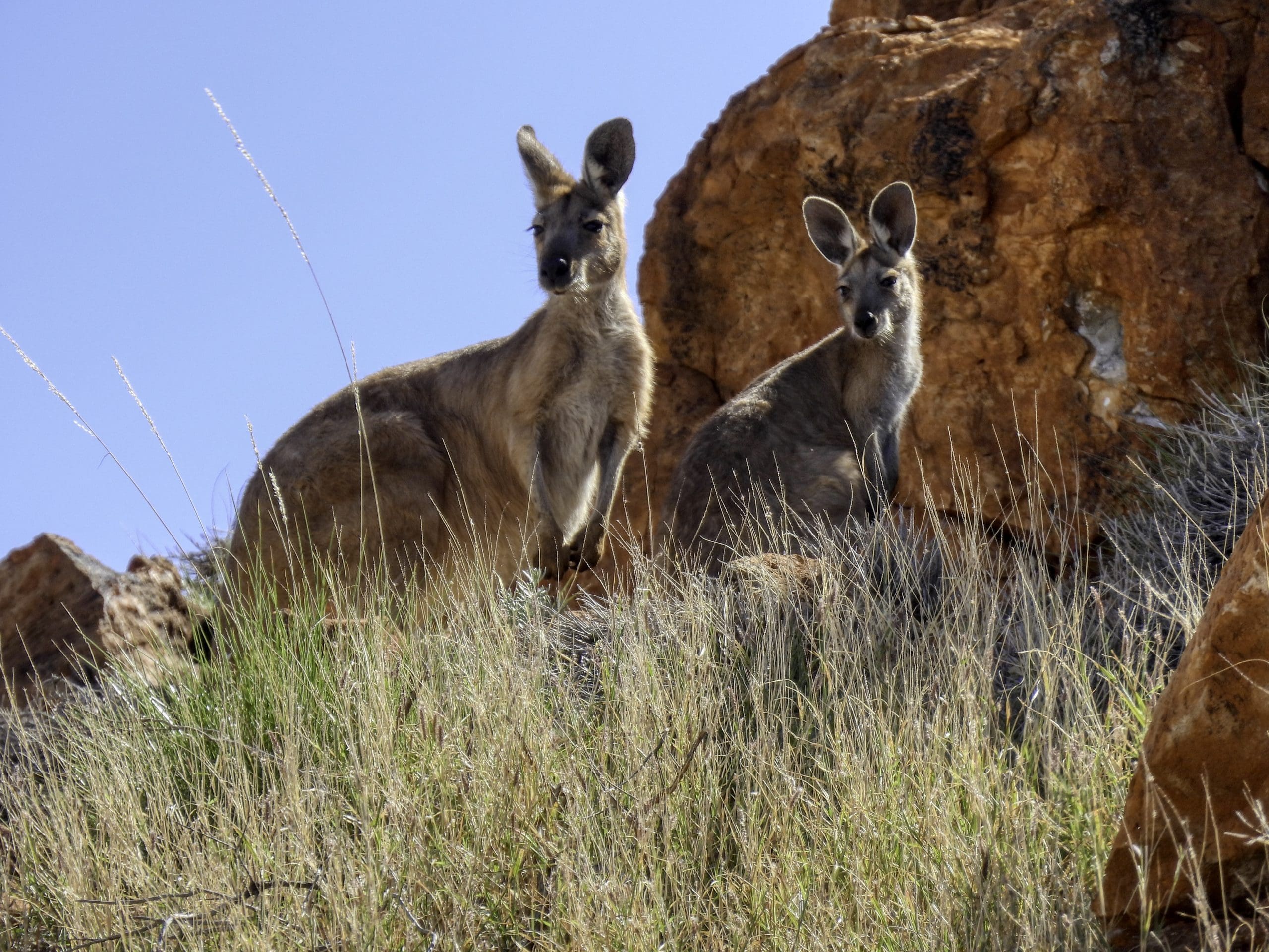
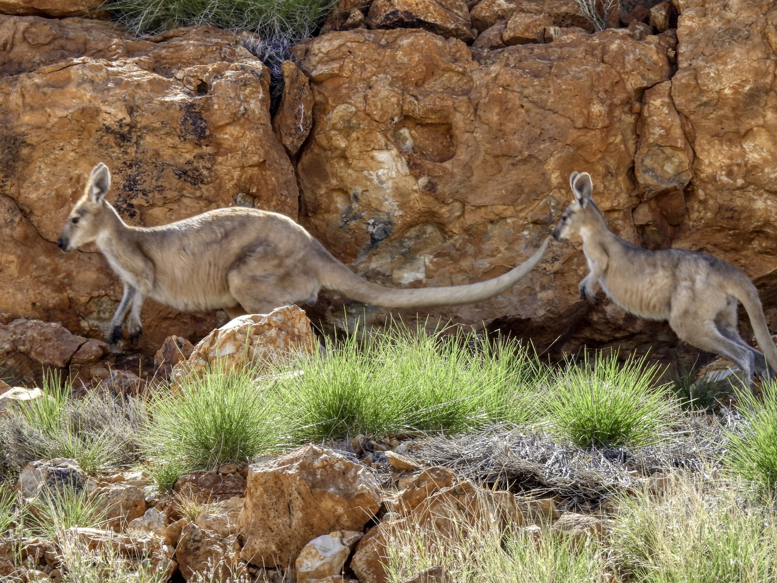
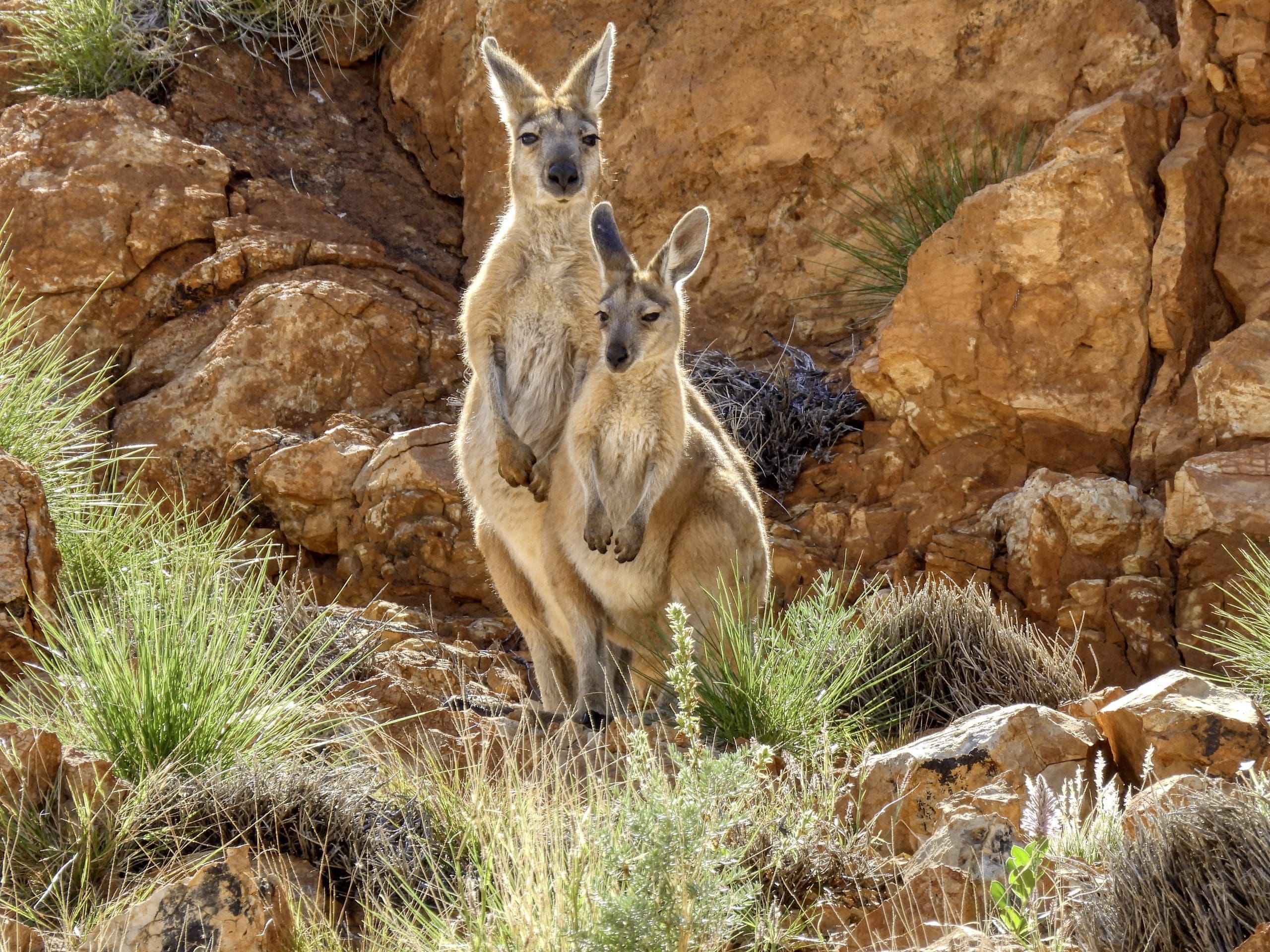
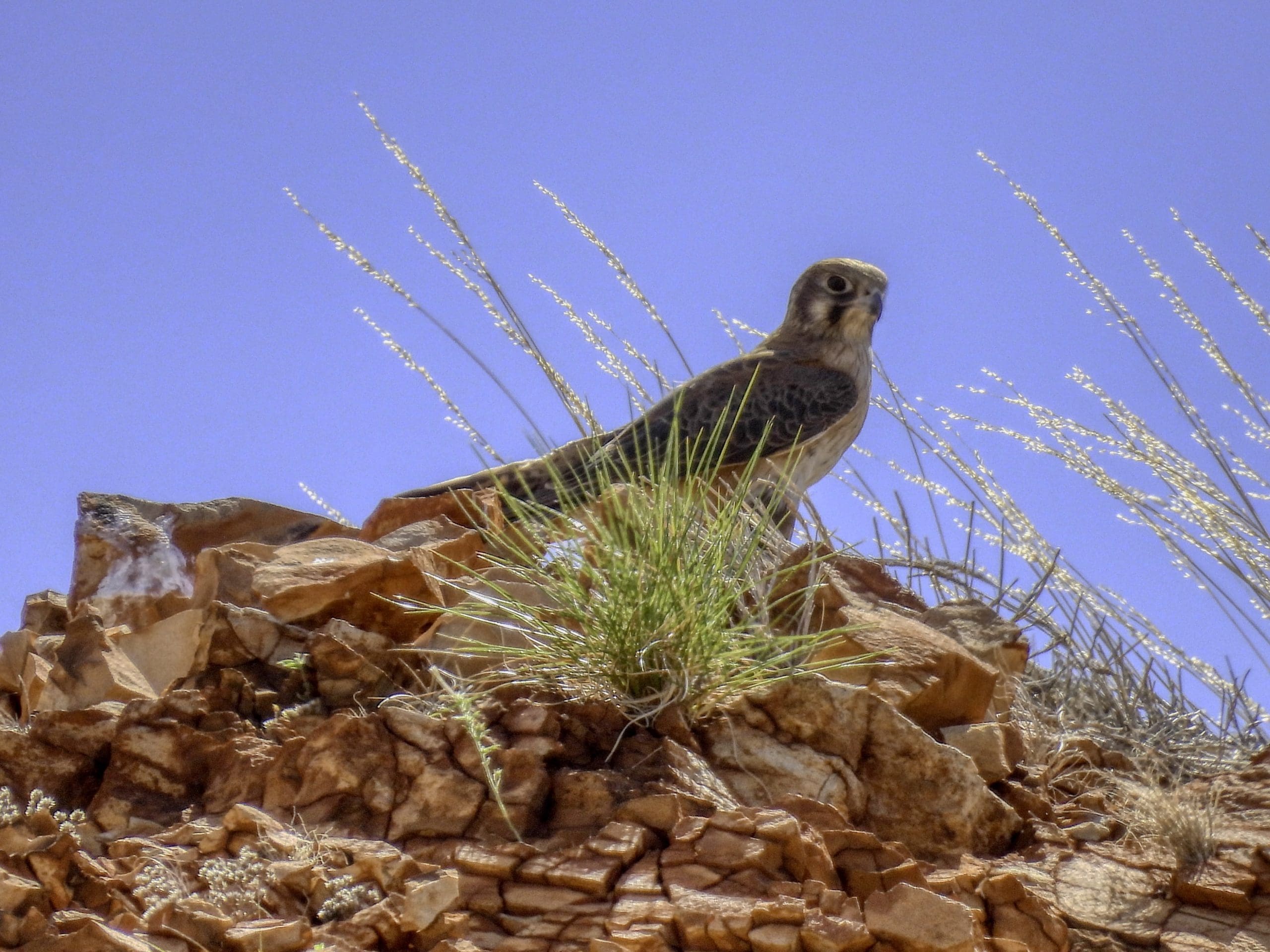
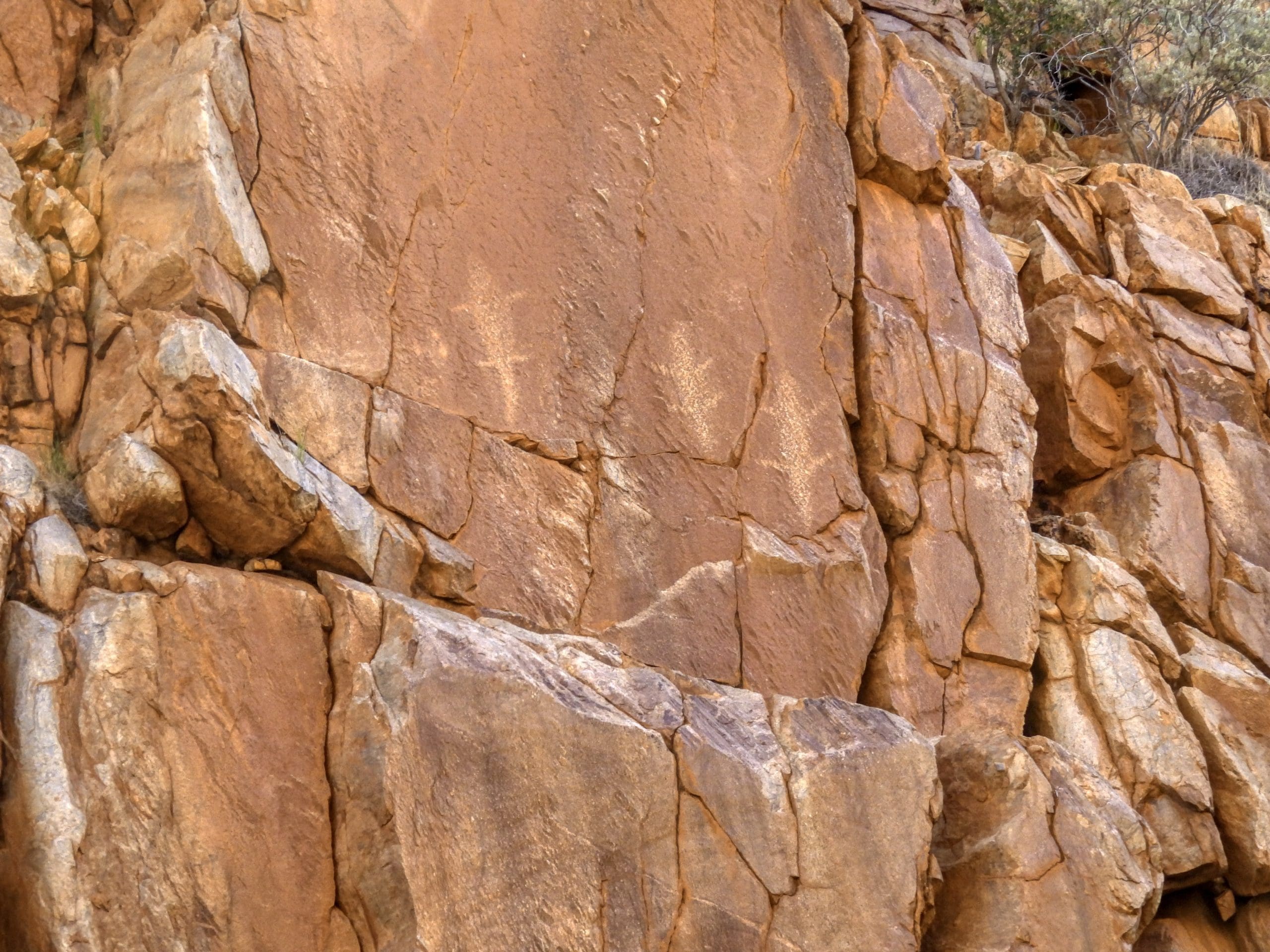
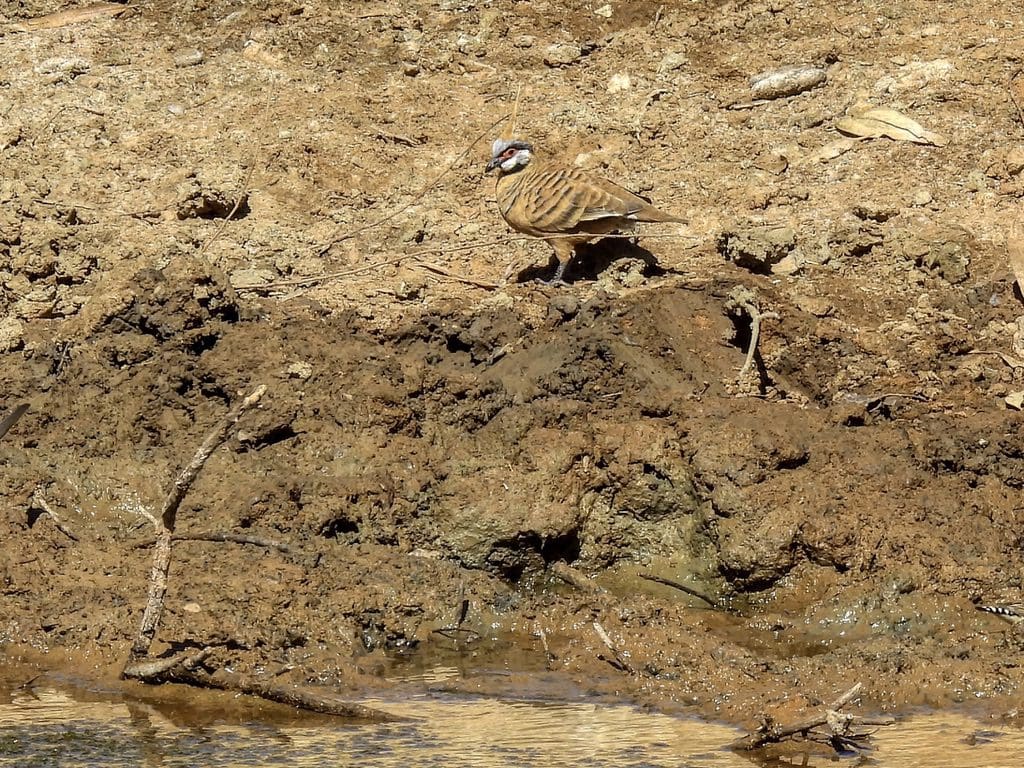
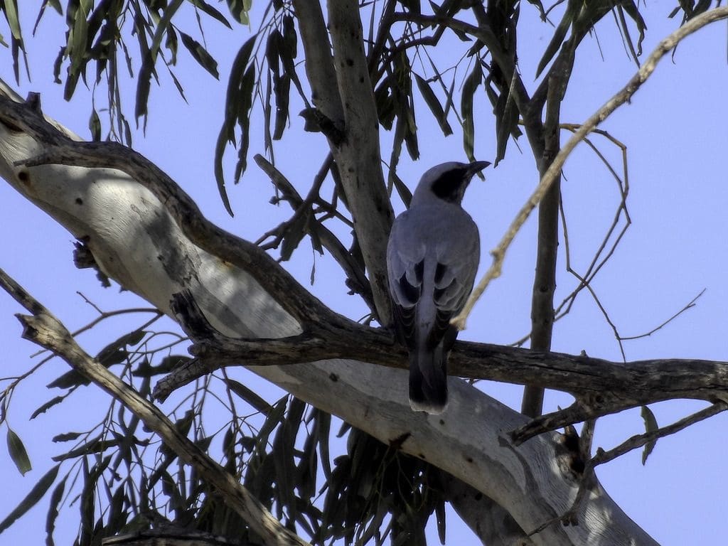
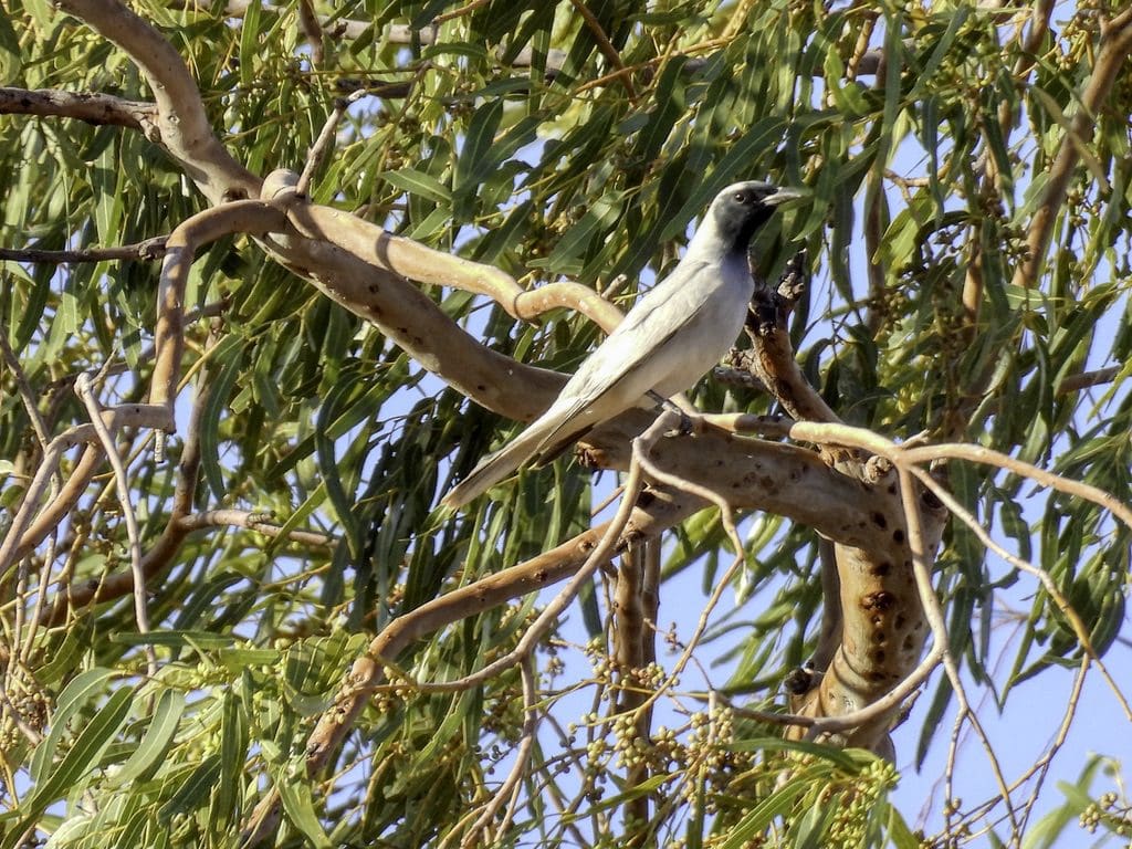
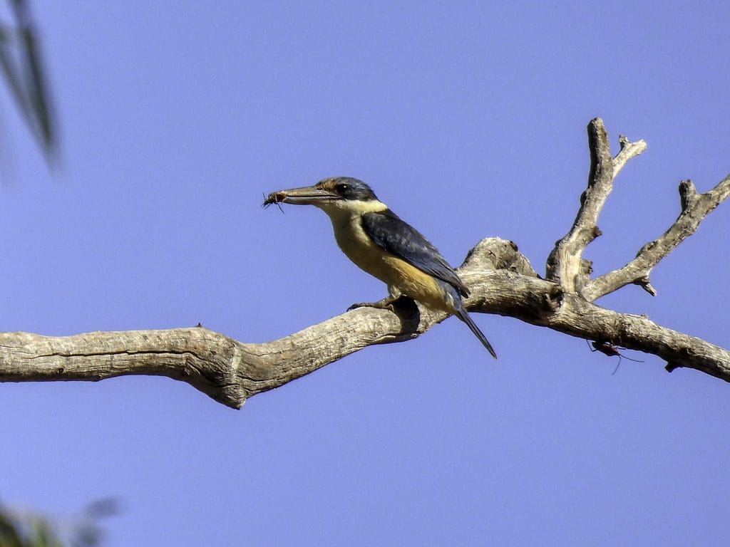
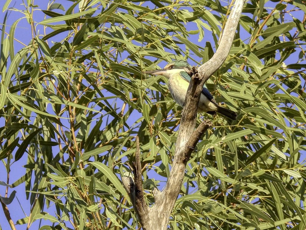
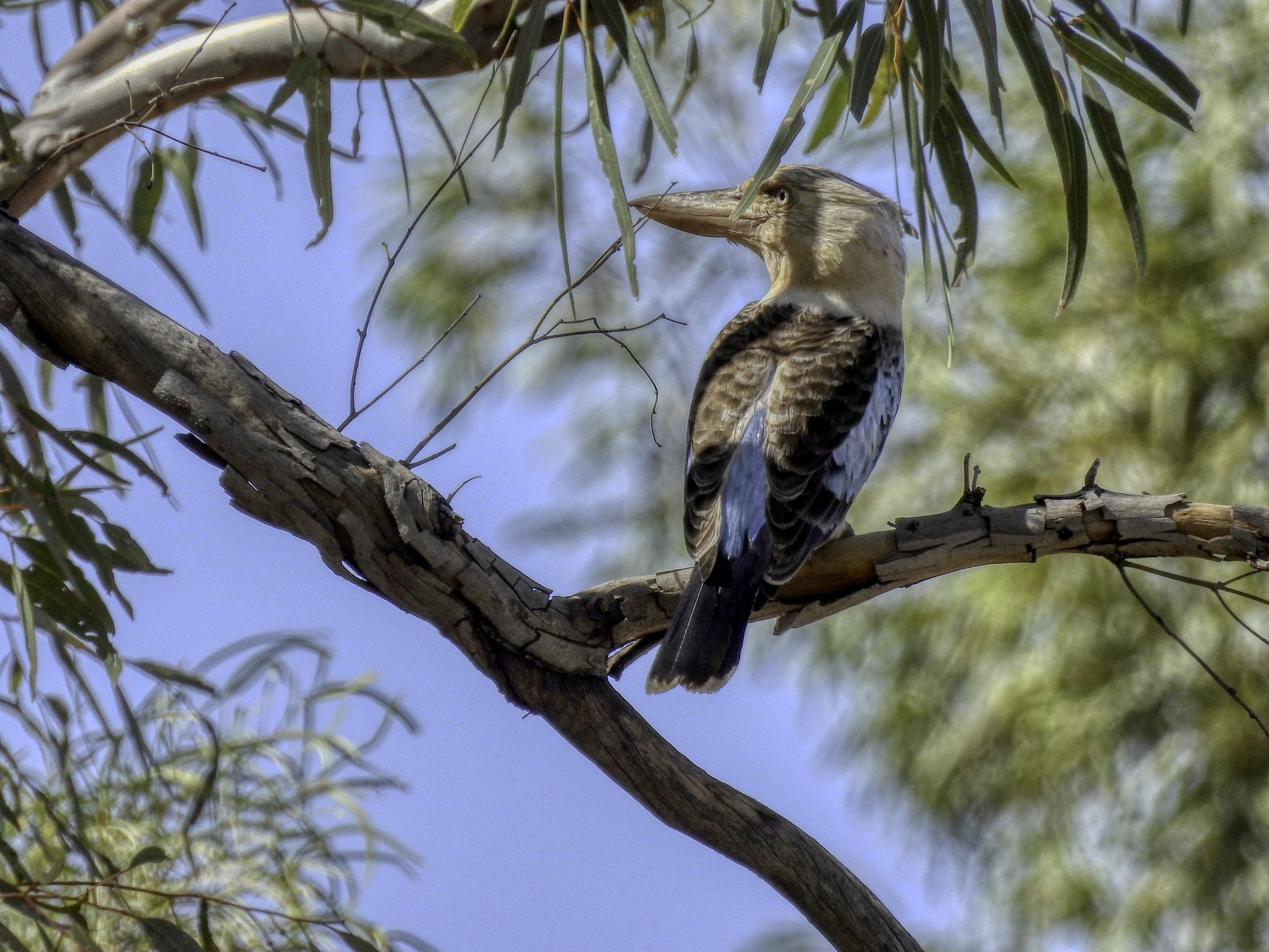
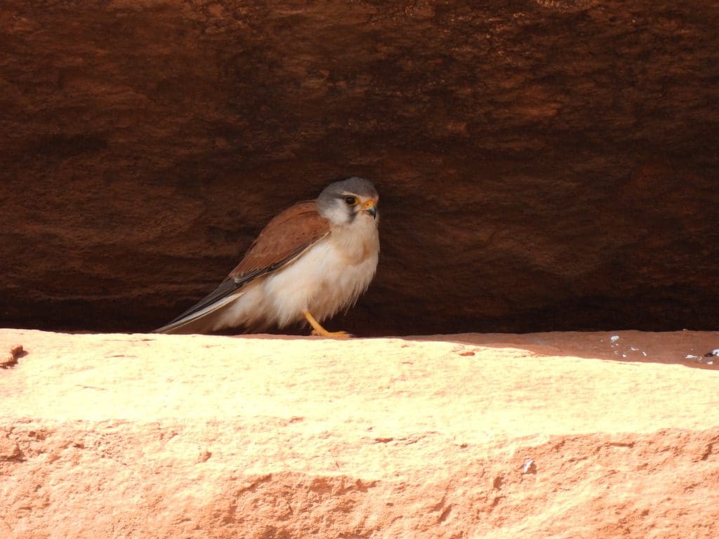
Day 5, Sunday 11th September. Early morning walk looking for birds and plants. After breakfast (bacon and eggs) we made our lunches and headed off to a few beautiful pools connected by difficult tracks. Quite a few birds and excellent plants. Very difficult navigation. Extremely dry county with very sparse vegetation. Quite a lot of metamorphic rock. Morning tea at T-pool, delightful spot. One fruitless track to where Jolanda thought our lunch pool is. We turned back after 30 minutes drive. Although this was fruitless in terms of that pool, it was interesting in that it was so difficult and harsh. As Helen points out, we are seeing this country at its best in a very good season after a lot of rain. We had lunch at pool 11. Why called that? Back to camp by 4:15 for some quiet sitting. Red-backed kingfisher and bustard along the way.
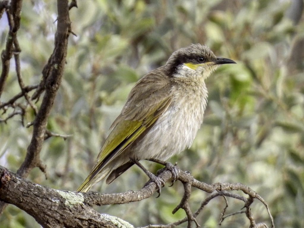
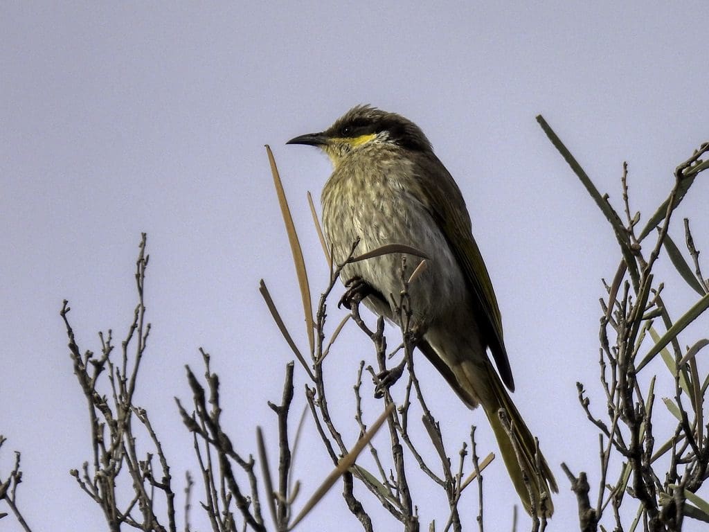
There are just 10 of us on this trip: 6 in the 2 Coates Toyota Prados, 2 in the tag along; 4 women and 6 men; 5 from WA, 4 from Qld (including us), 1 from NSW/Iran. 2 general interest, 1 birdo, 5 plants, 1 everything, 1 reptiles; all used to camping in remote areas.
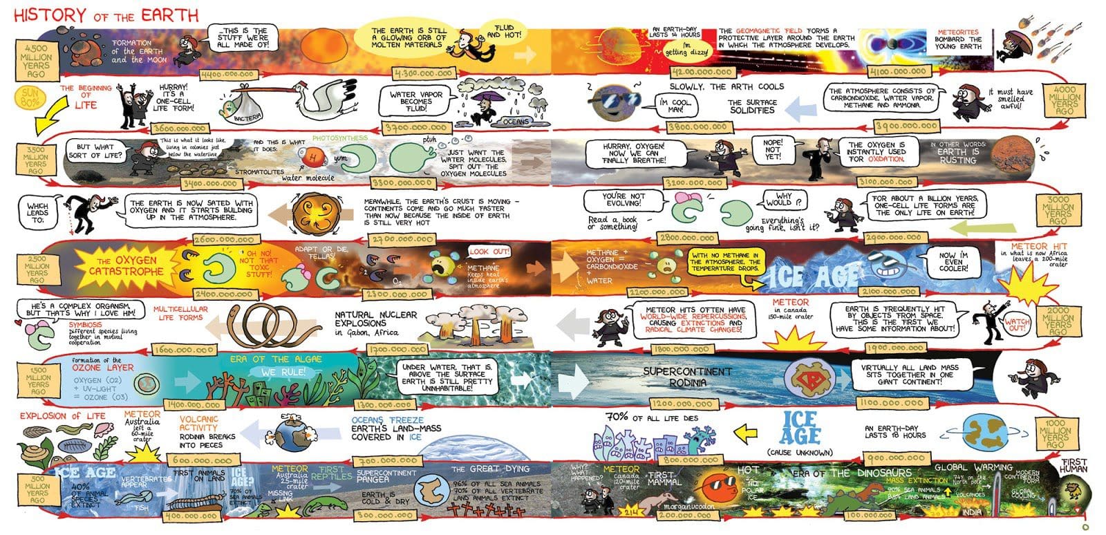
The above is a cartoon of the history of the earth. I’ve put it here because most of the trip we are in the top part – before life on earth. We were in very old rocks. Much of my discussion was about a rusting earth and climate change catastrophes (eg snowball earths) caused by plants.
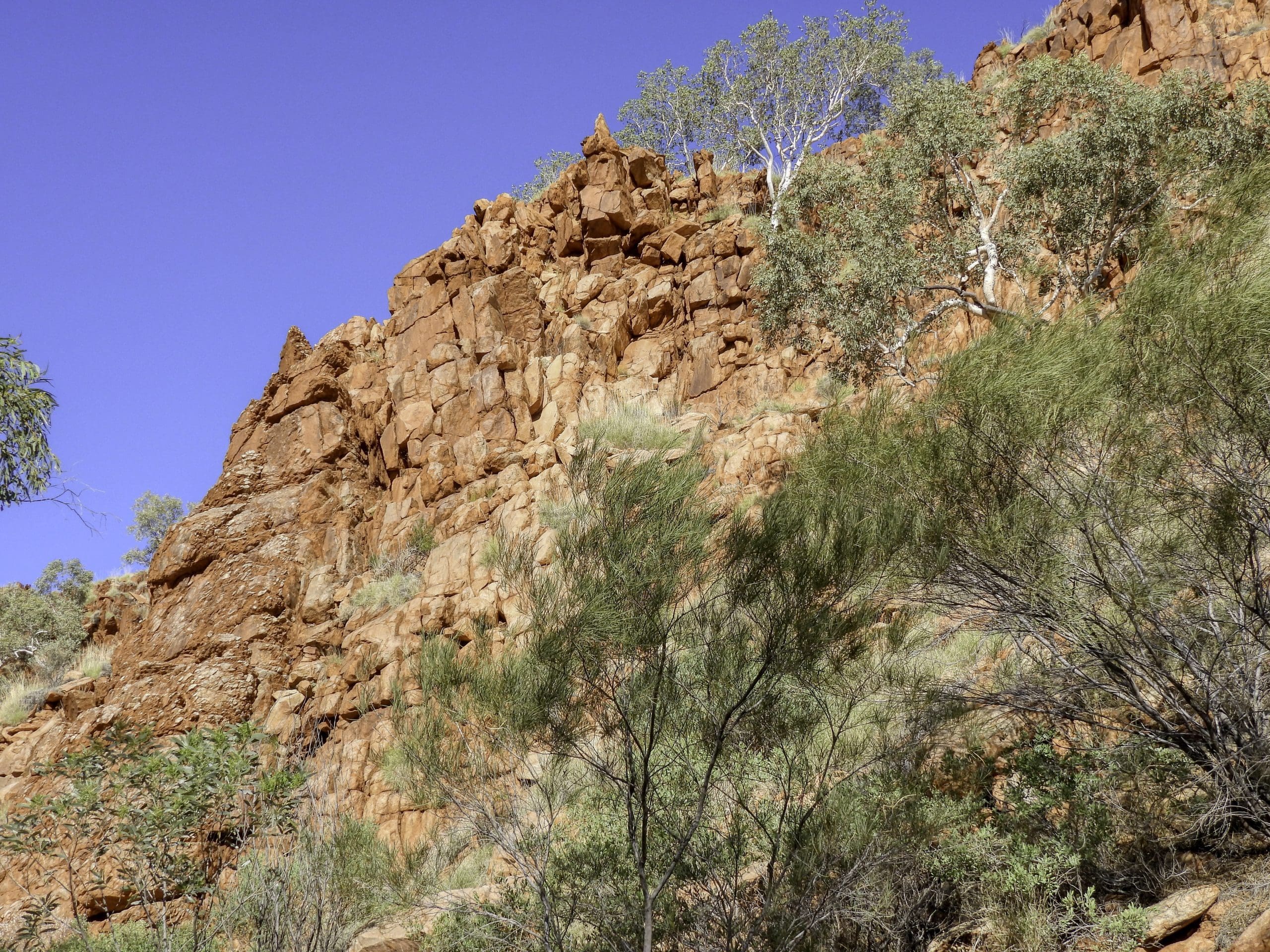
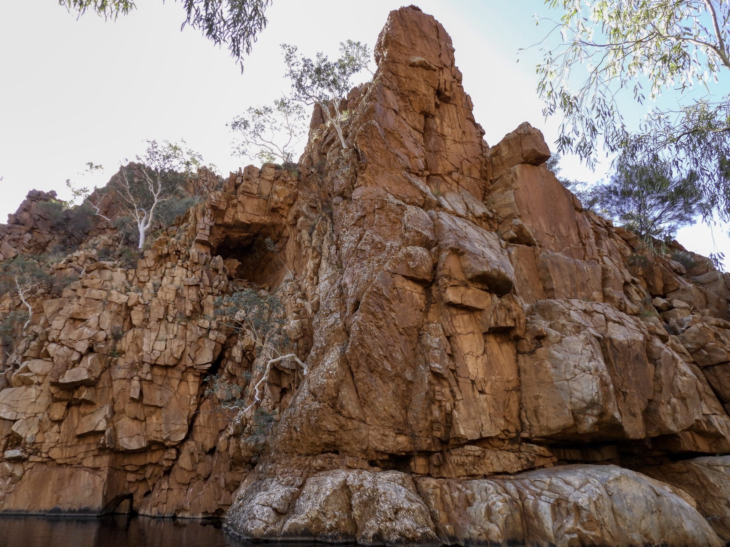
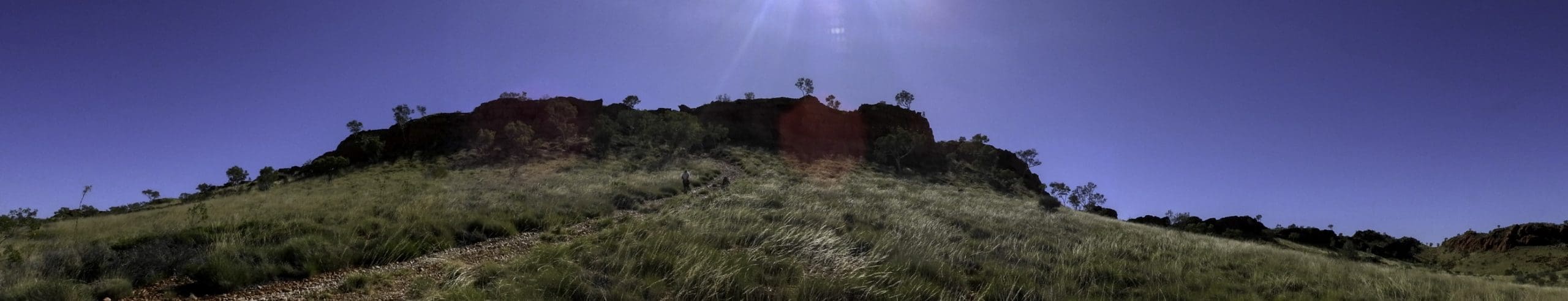
Day 6, Monday 12th September. A wild dog howled from inside our campsite during the night and answered by two lots of distant howls. Cool overnight with dew. This was a beautiful campsite. We liked it a lot. A late breakfast today at 7am and we left at 8am as we were going only 50-60 km. A rough drive though not difficult, just long and constant with little time to relax. The country is harsh and unforgiving. We drove north just inside the western park boundary. Until our turn off, there were quite a few puddles from the recent rain event and a few birds. After the turn to Desert Queen Baths the country was even more harsh with no water and no birds. We reached our campsite at Desert Queen Baths just after noon in the heat of the day. The temperature is in the low 30s and quite warm in the sun. We have little shade. After an after lunch snooze in the heat of the early afternoon, at 2:30 we headed along a rock hopping path to the Baths themselves for a swim. Delightfully cold in the hot day. Some of our party went on to look for a couple of ponds further on. Failed and came back. Some thought it too cold. A fire tonight to burn all our rubbish. Tomorrow we gather the remains to take with us.

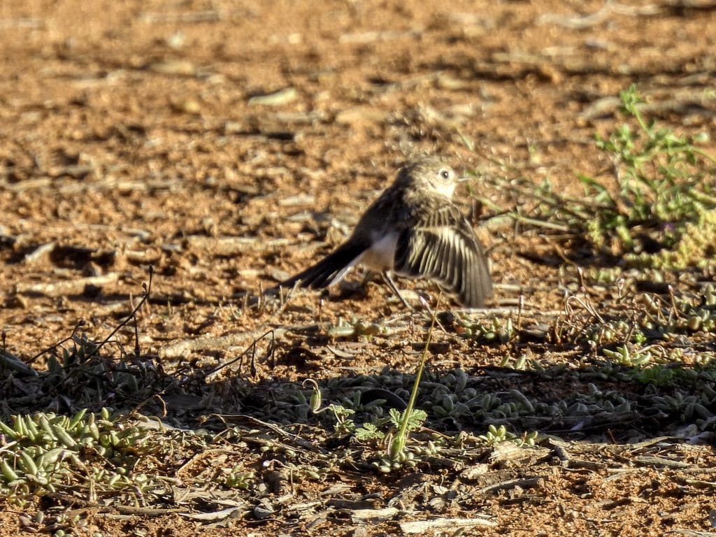
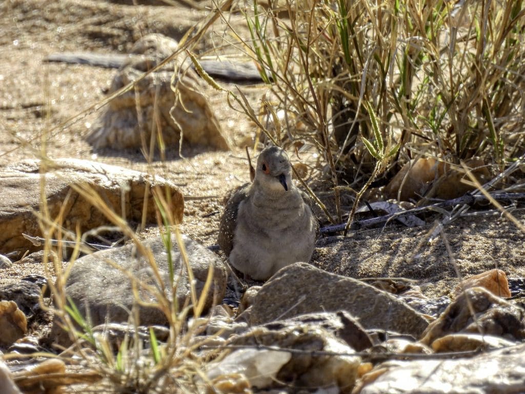
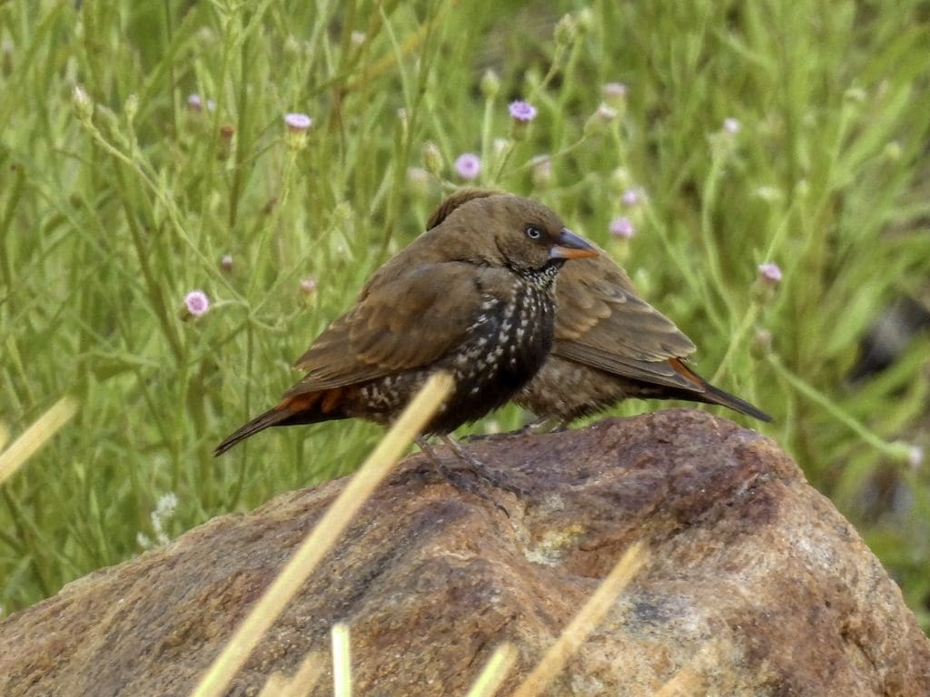
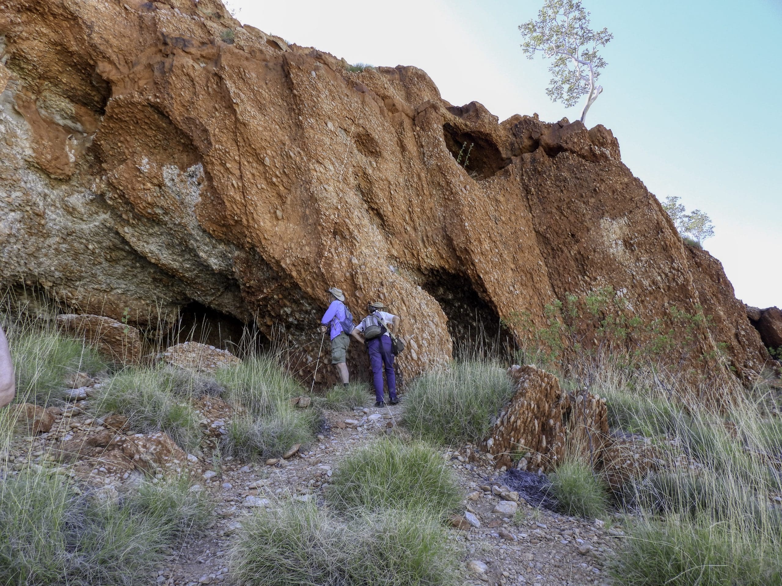
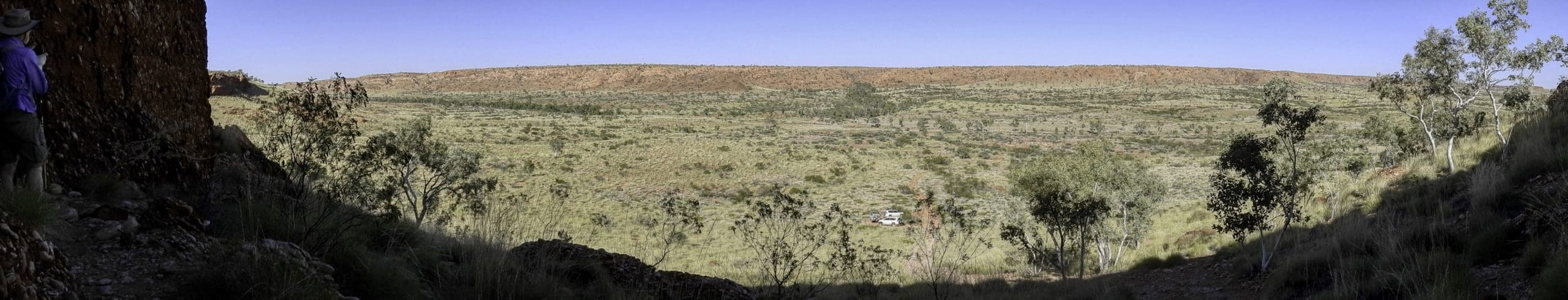
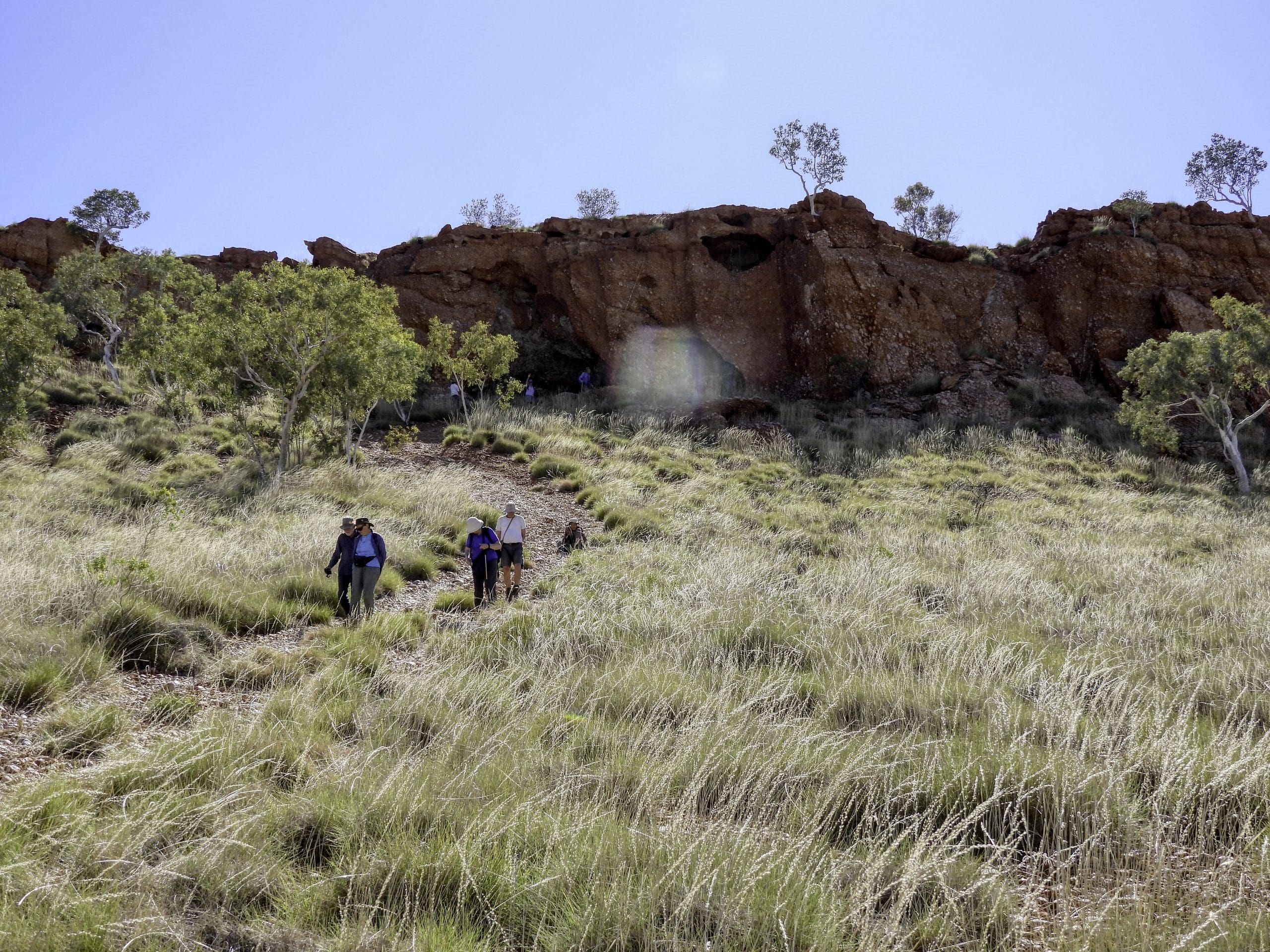
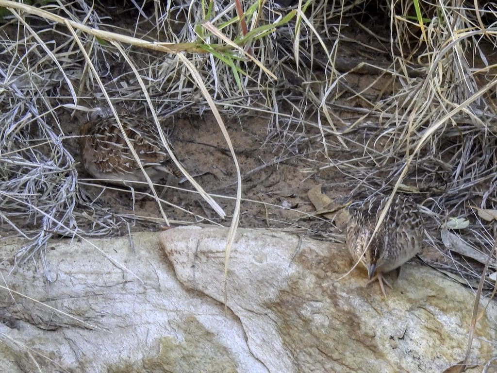
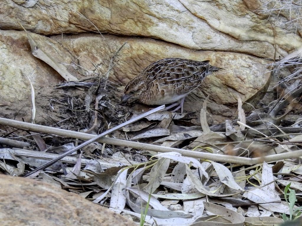
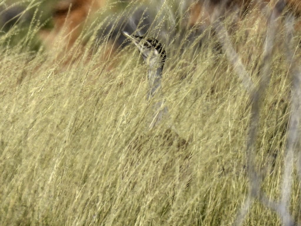
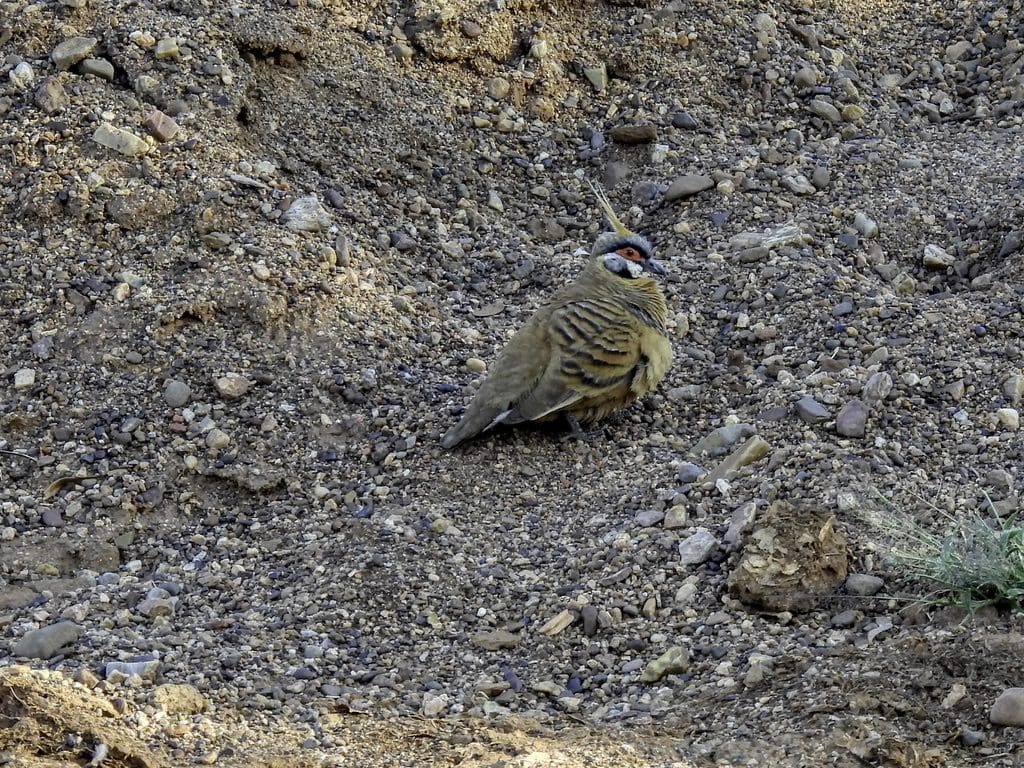
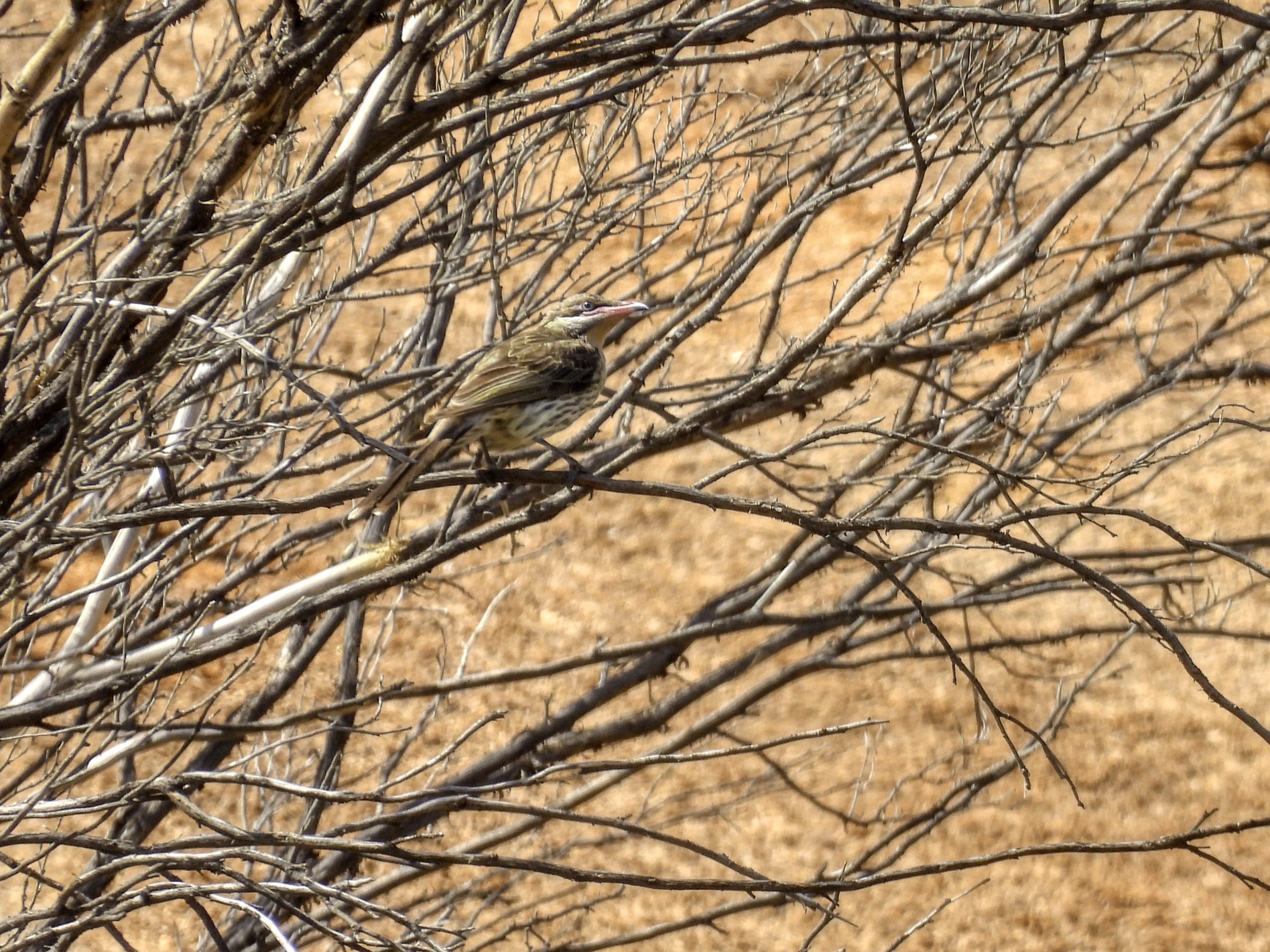
Day 7. Tuesday 13th September. An early morning bird watching walk beginning at 6am. Breakfast. Then a drive to a cave on the north side of the valley. Quite a steep walk up the last 150m. About half the group chose to scramble to the top of the ridge. From the cave we could see that the gorge with the Desert Queen Baths is a small tributary off the main creek/river. It was difficult for a few coming back down from the cave to where we had left the cars. From there, 6 of us chose to walk back to camp by following a dry creek bed. This was a very good walk. Only about 1.5 km. Even for such a short walk, we were all a bit exhausted and dehydrated. Very tough country. Flood debris about 1.5m up in trees so when it does flood it must come down in a rush. Back at the camp for morning tea. Sitting in shade reading, snoozing and chatting till lunch. After lunch, a walk to the pool for a cooling swim and sit around in the shade reading and chatting. As we were thinking of leaving, Helen noticed that a quail had wandered up to us while picking at the ground. Taking photos did not startle it and I got quite a few photos of the Little Button-quail.
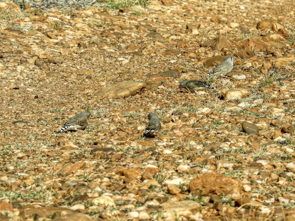
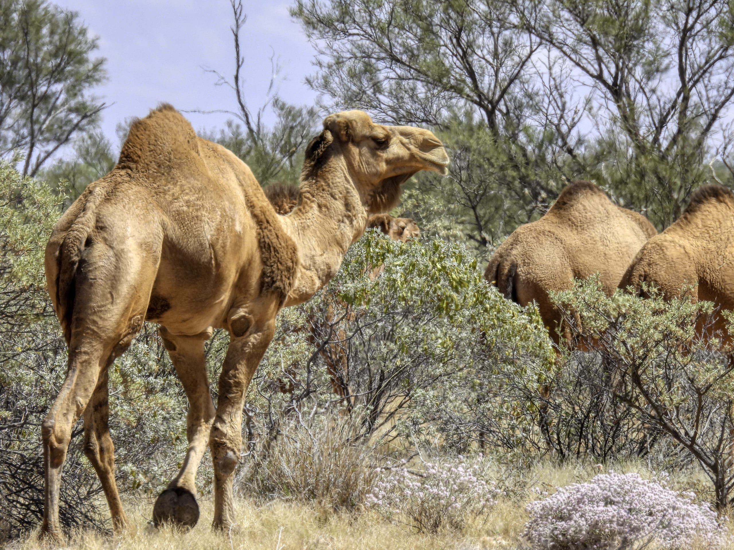
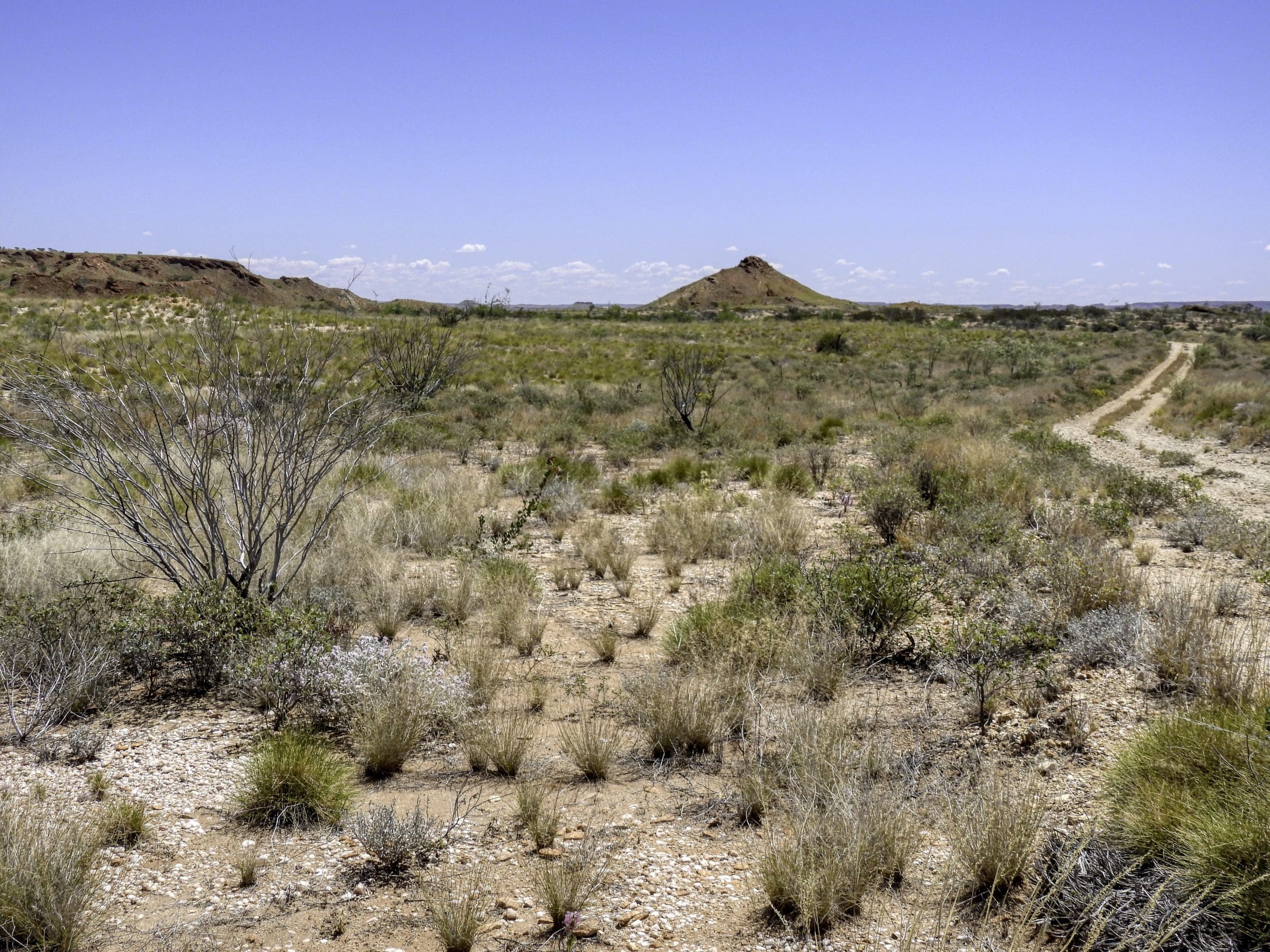
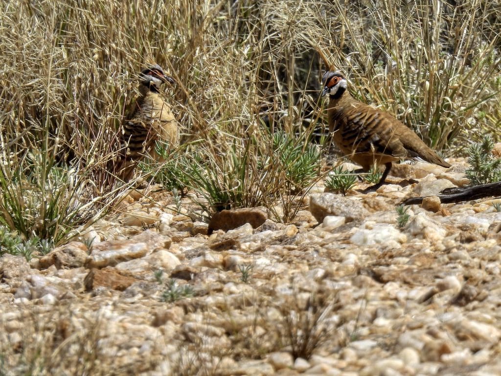
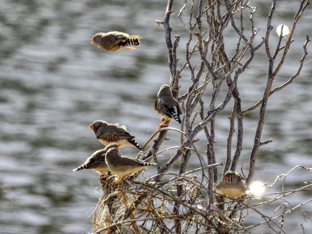
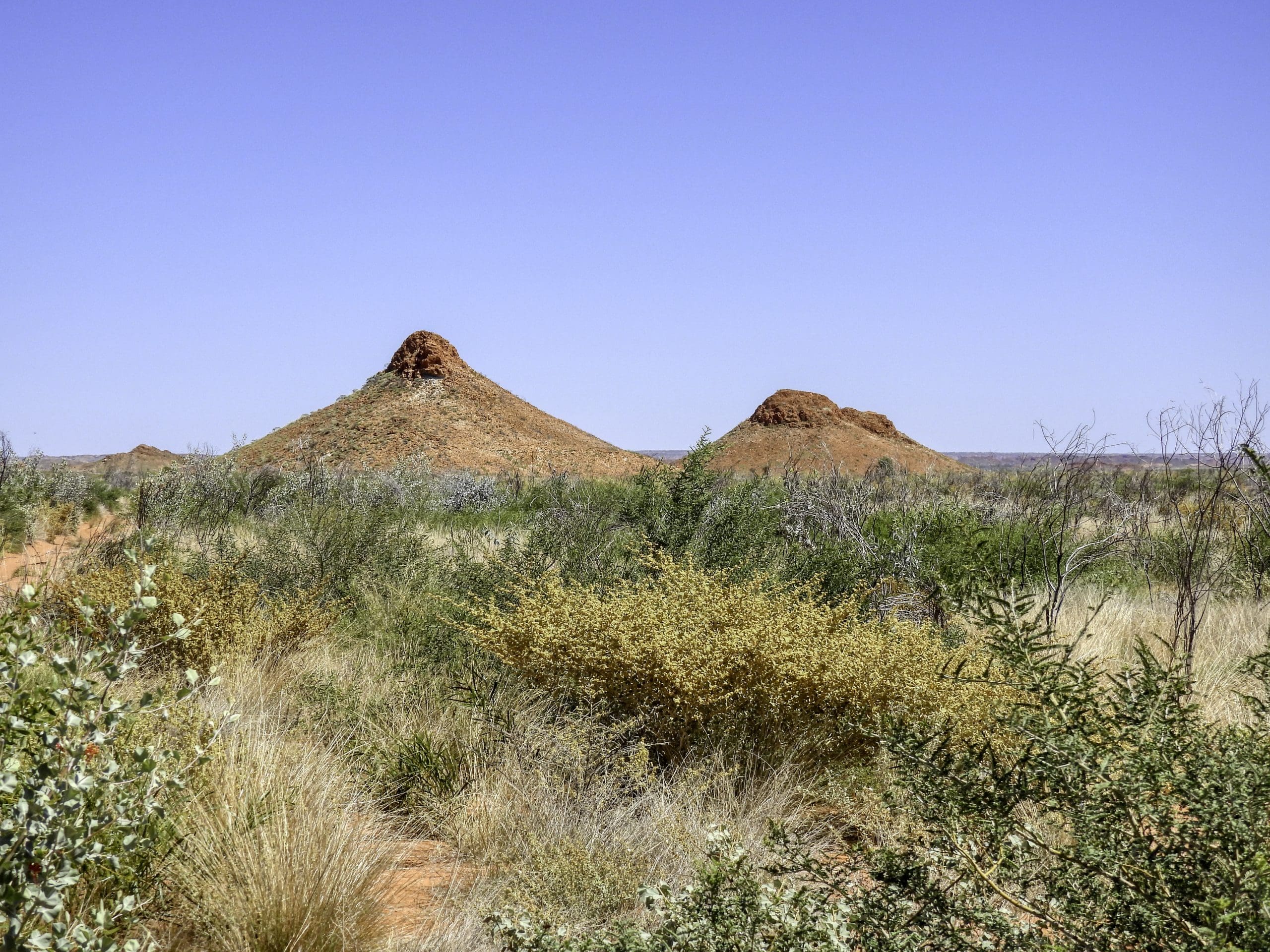
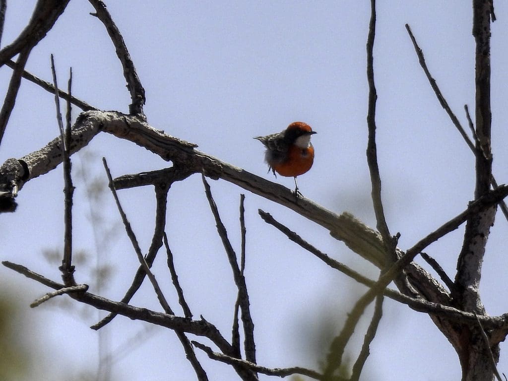
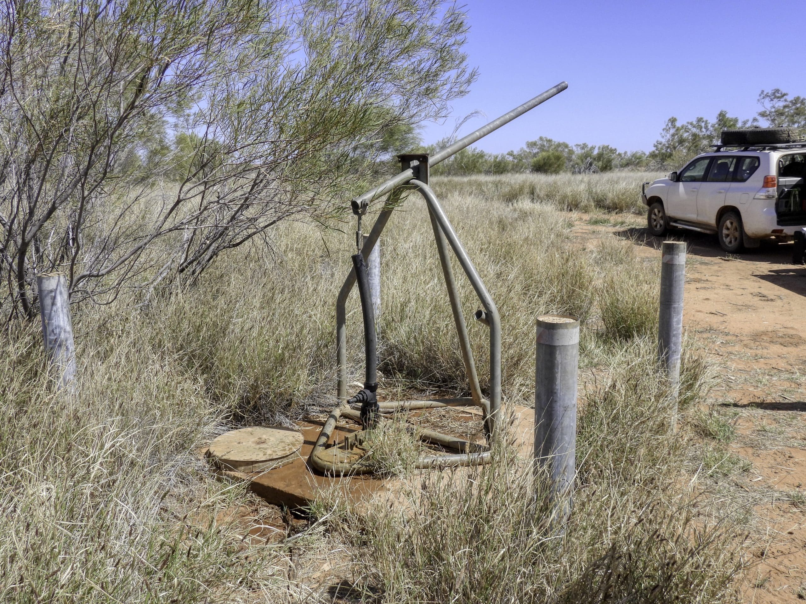
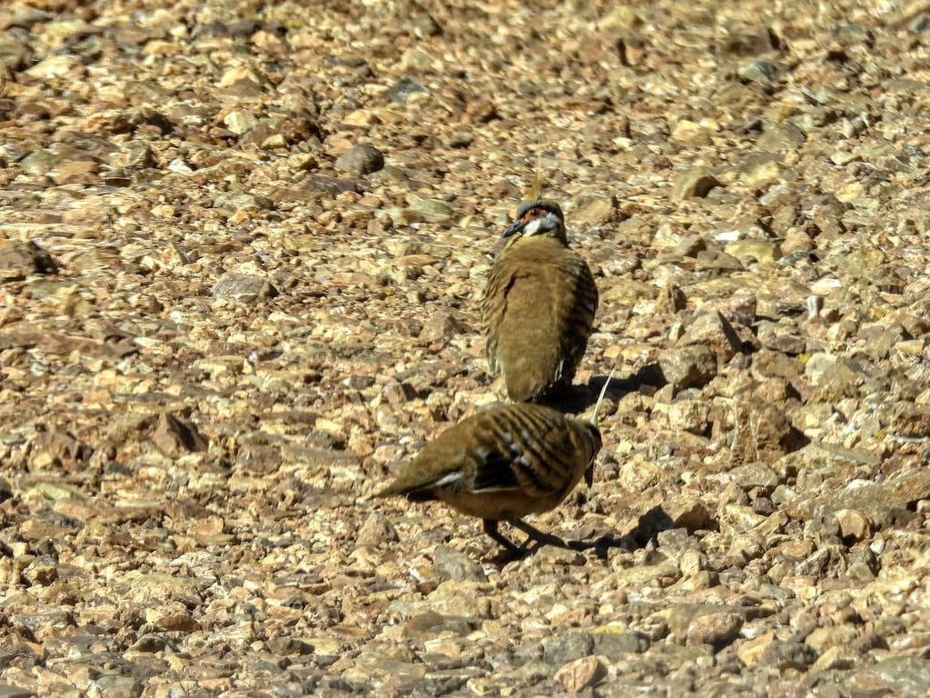
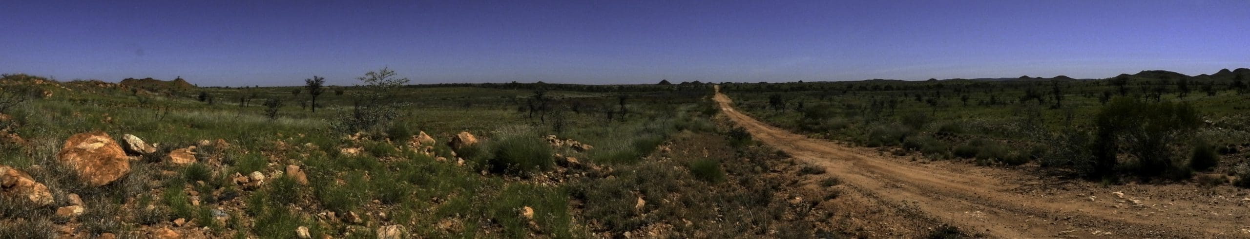
Day 8. Wednesday 14th September. Away early at about 7:30. The drive west alongside the Rudall River is very rough though not difficult. We stopped often to take photos of plants and birds. A bit of a walk up to the side of one of the buttes. Very few birds as the country is very dry. Just before the t-junction, the first sign of water and flocks of zebra finches. From that turn to the north, the track was much better. Red-capped robins abundant along that track. At about 50km north of the turn, we turned off to a “water pump” where we filled a couple of our empty water drums after a few struggles with a connection to our hose attempts were abandoned. It is a big hand pump. From there, we continued along the road north which became extremely corrugated. We were looking for a turn to the right that would take us to Christmas Pool but missed it. It is very indistinct. We found it on our return. Not very much used. We found a useable, though exposed campsite not far from the Pool. Christmas Pool was named by a search party looking for two people who had separated from their party. The search parties were wandering around in 51+ºC in the middle of the day in the middle of summer. Losing camels that died of thirst and heat exhaustion. They found this Pool on Christmas Day. Madness. They knew the people they were looking for were dead. Why kill their animals and put their own lives in danger in the haste to find bodies? Perhaps ask local aboriginals?
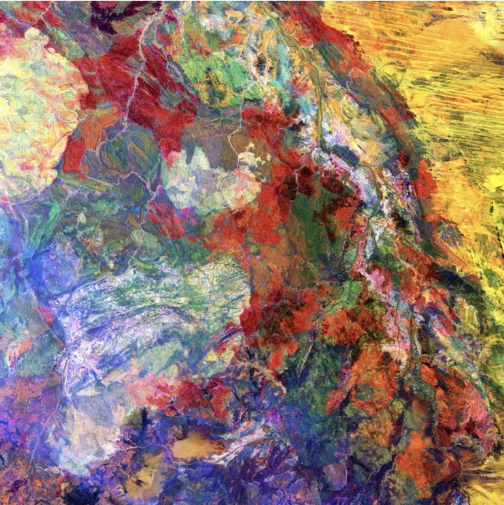
This enhanced image of Western Australia resembles a mixture of crayons that melted in the sun. The yellow sand dunes of the Great Sandy Desert cover the upper right portion of the image. Red splotches indicate burned areas from grass and forest fires, and the colors in the rest of the image depict different types of surface geology.
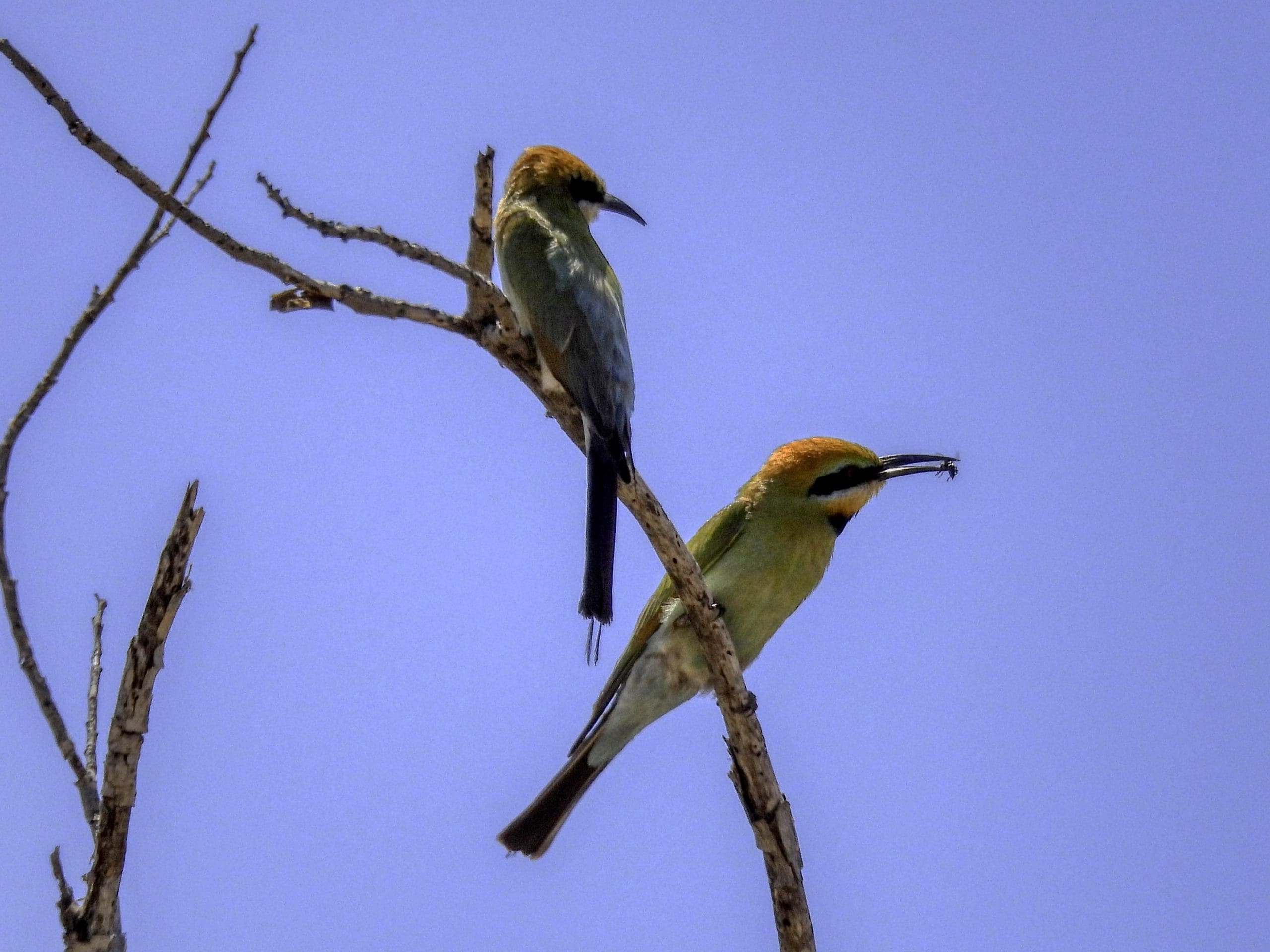
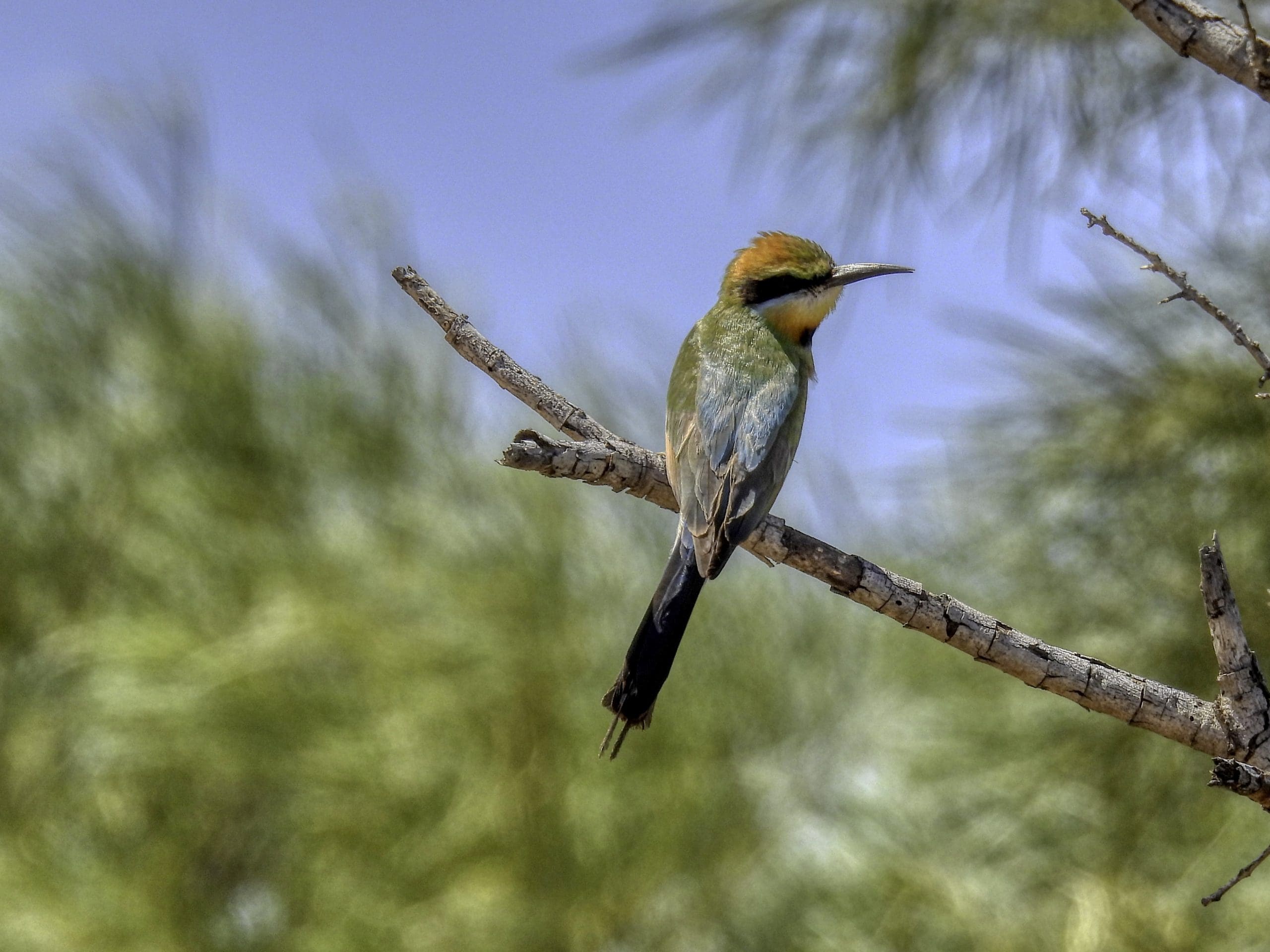
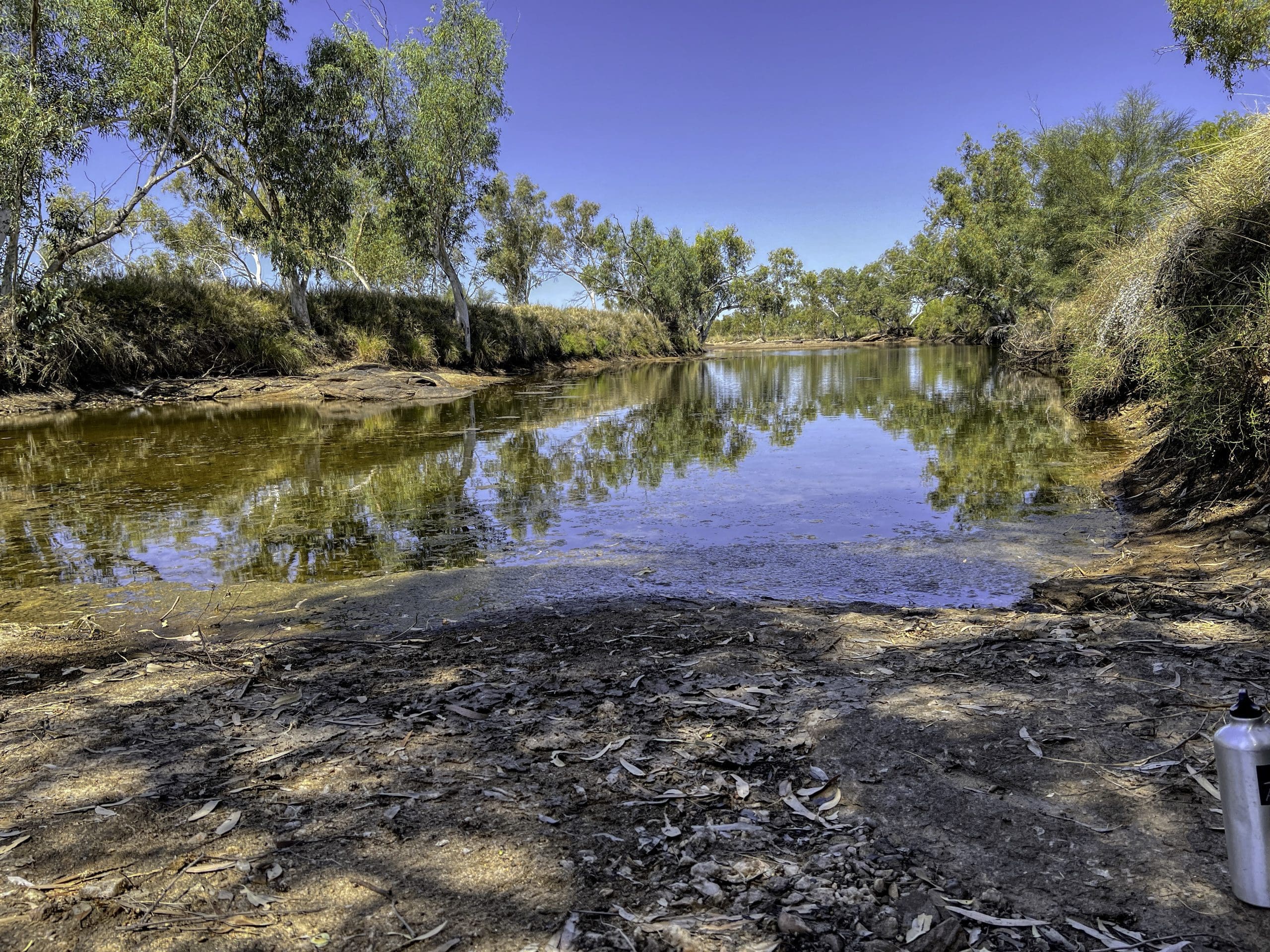
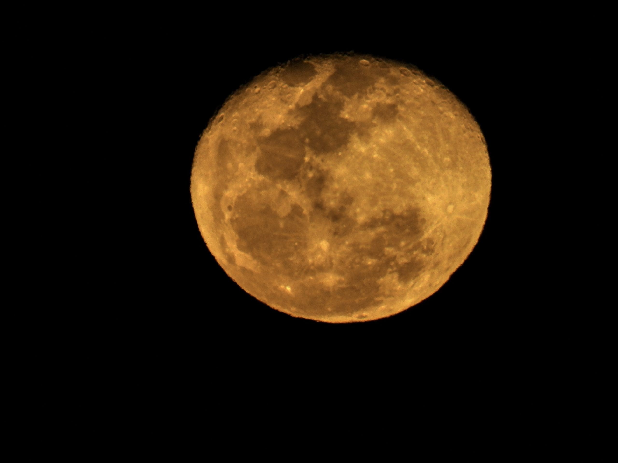
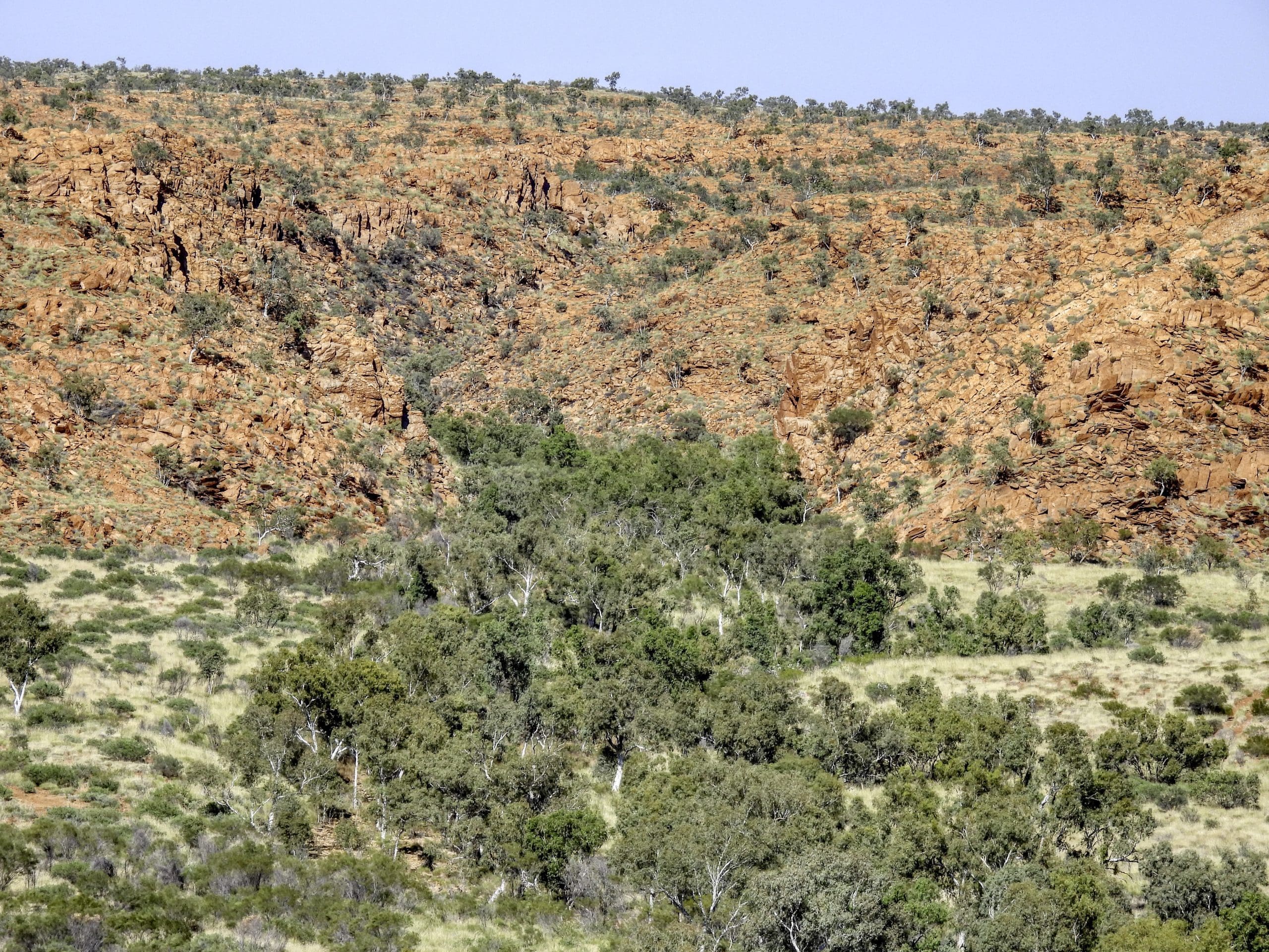
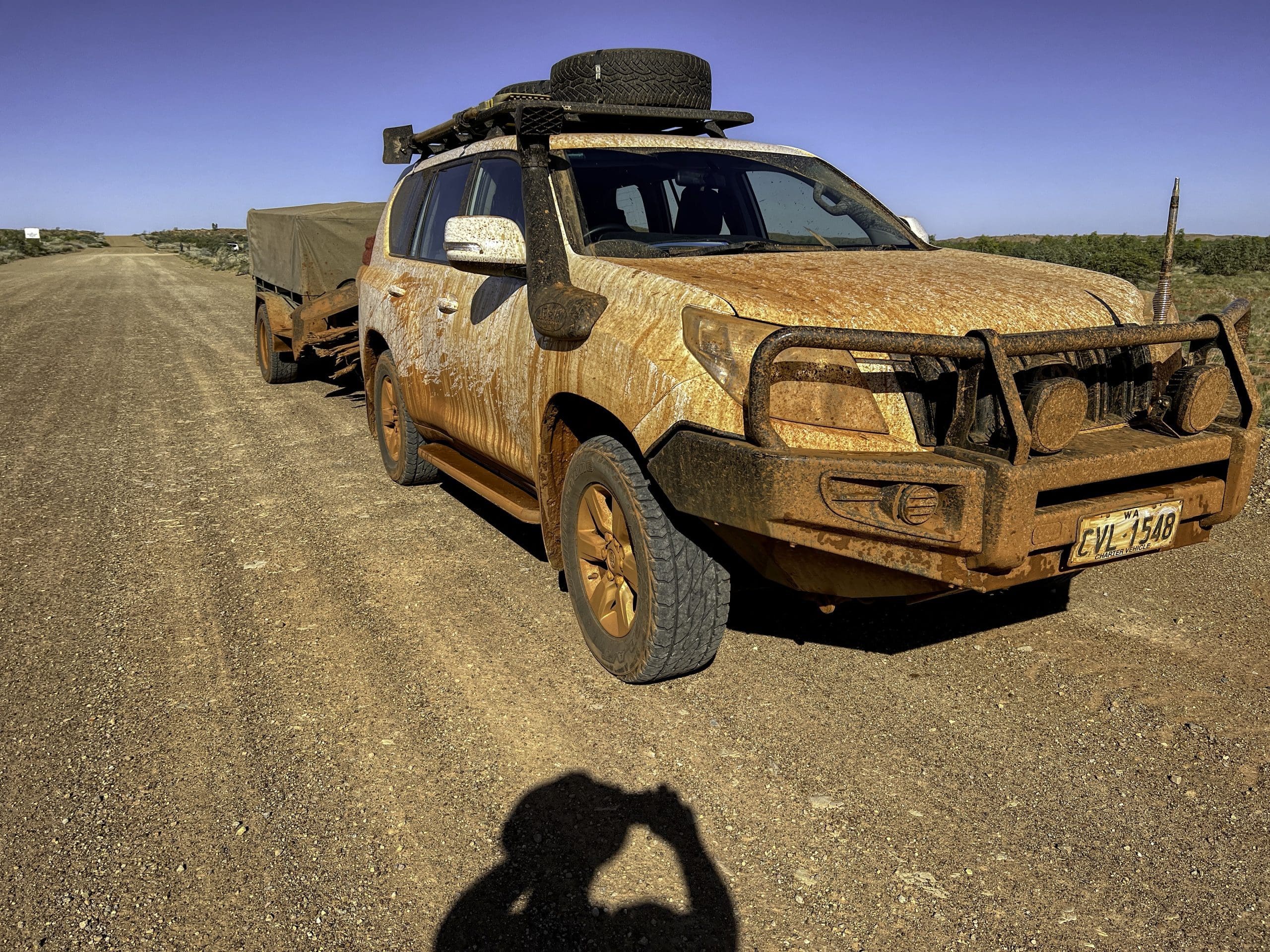
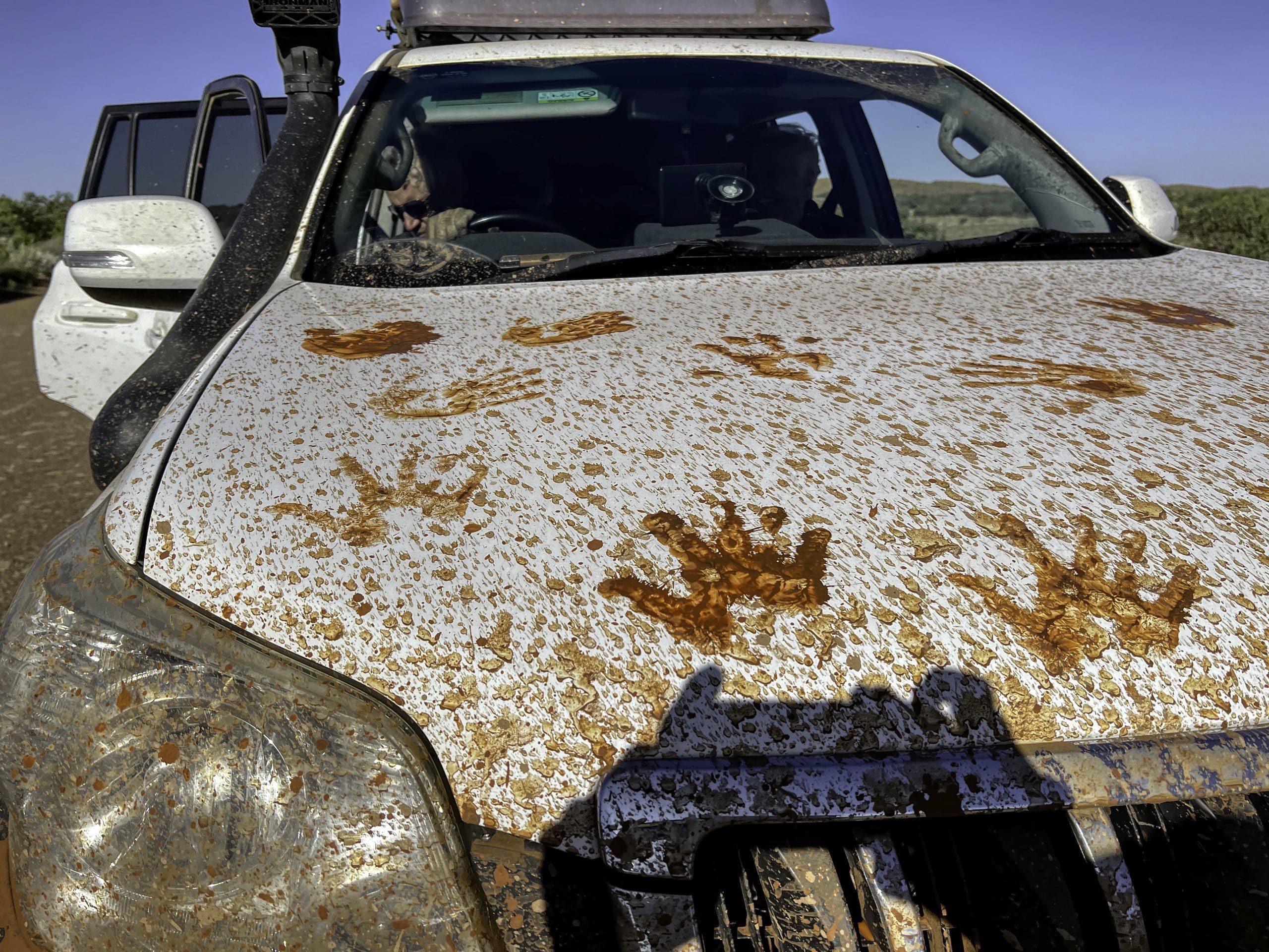
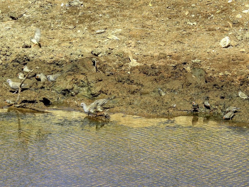
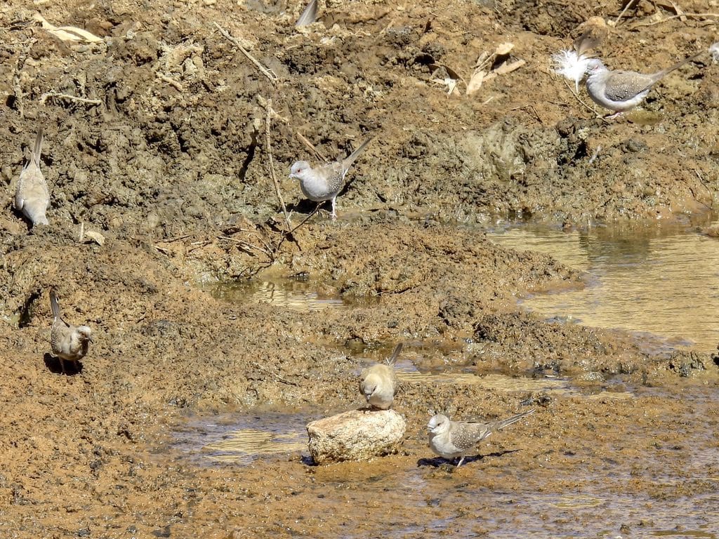
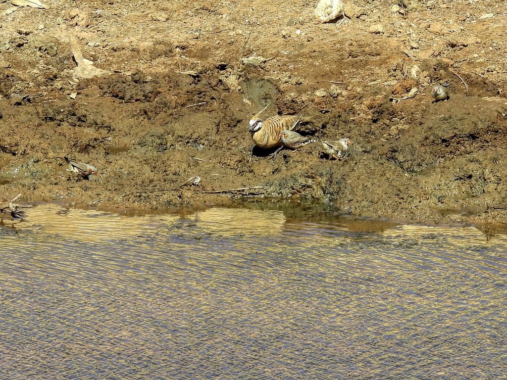
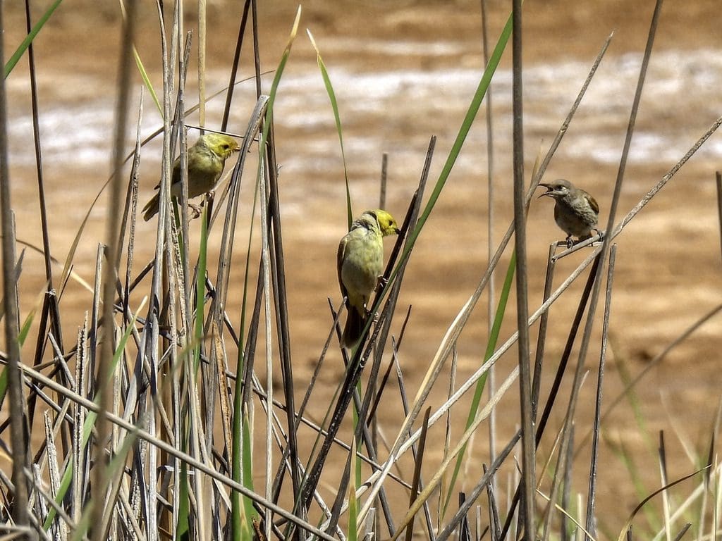
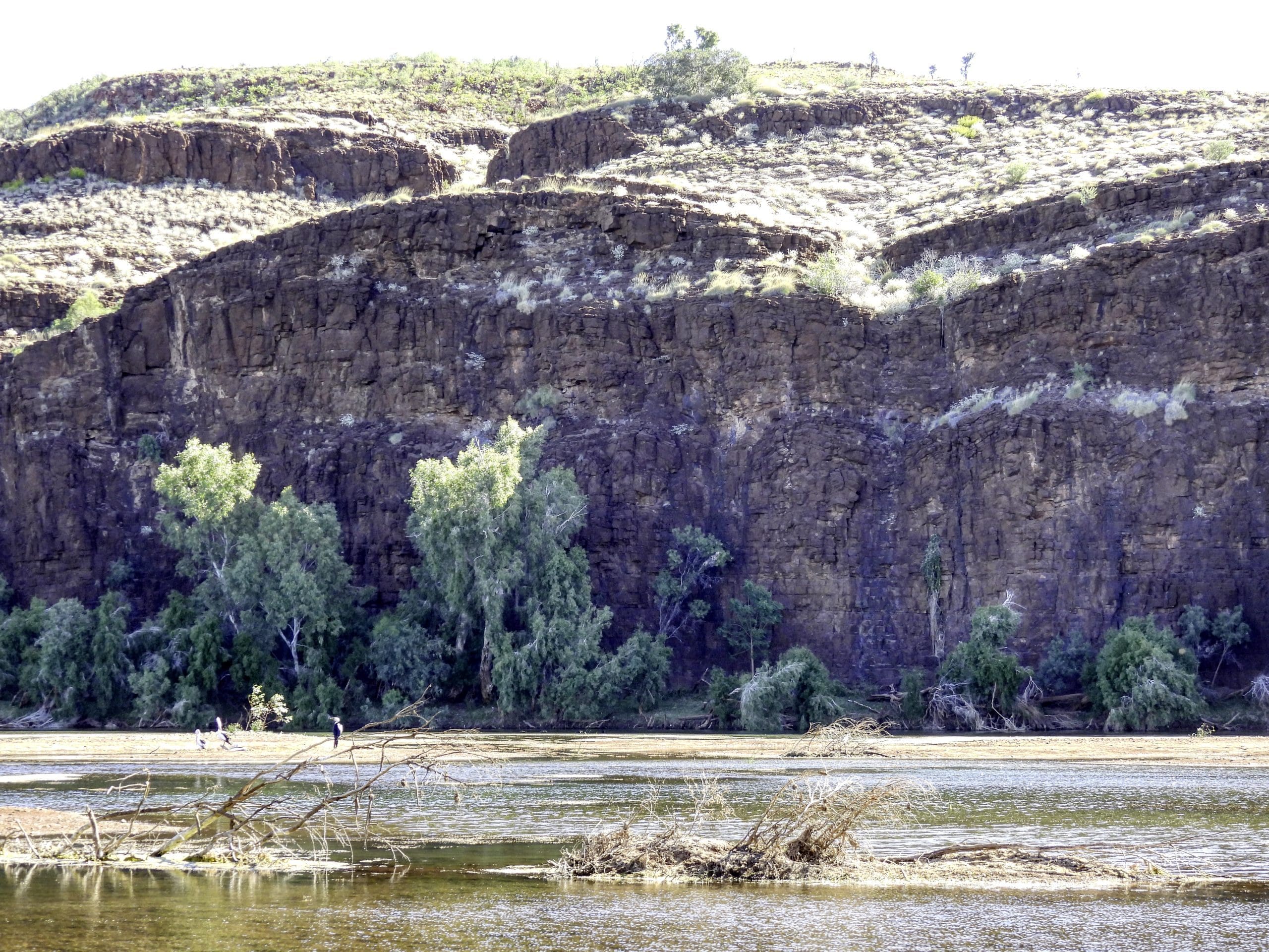
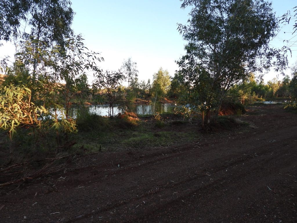
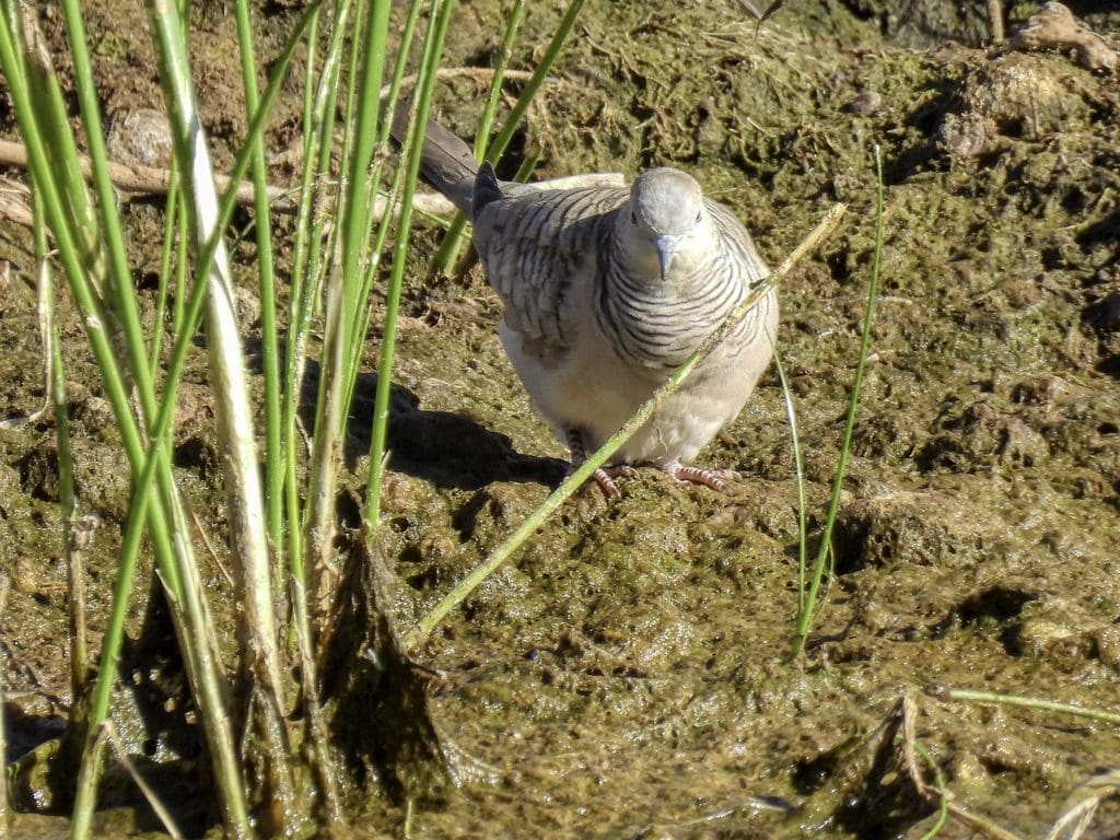
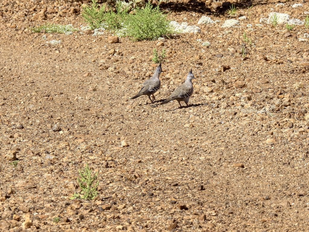
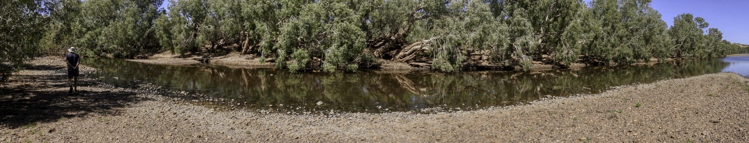
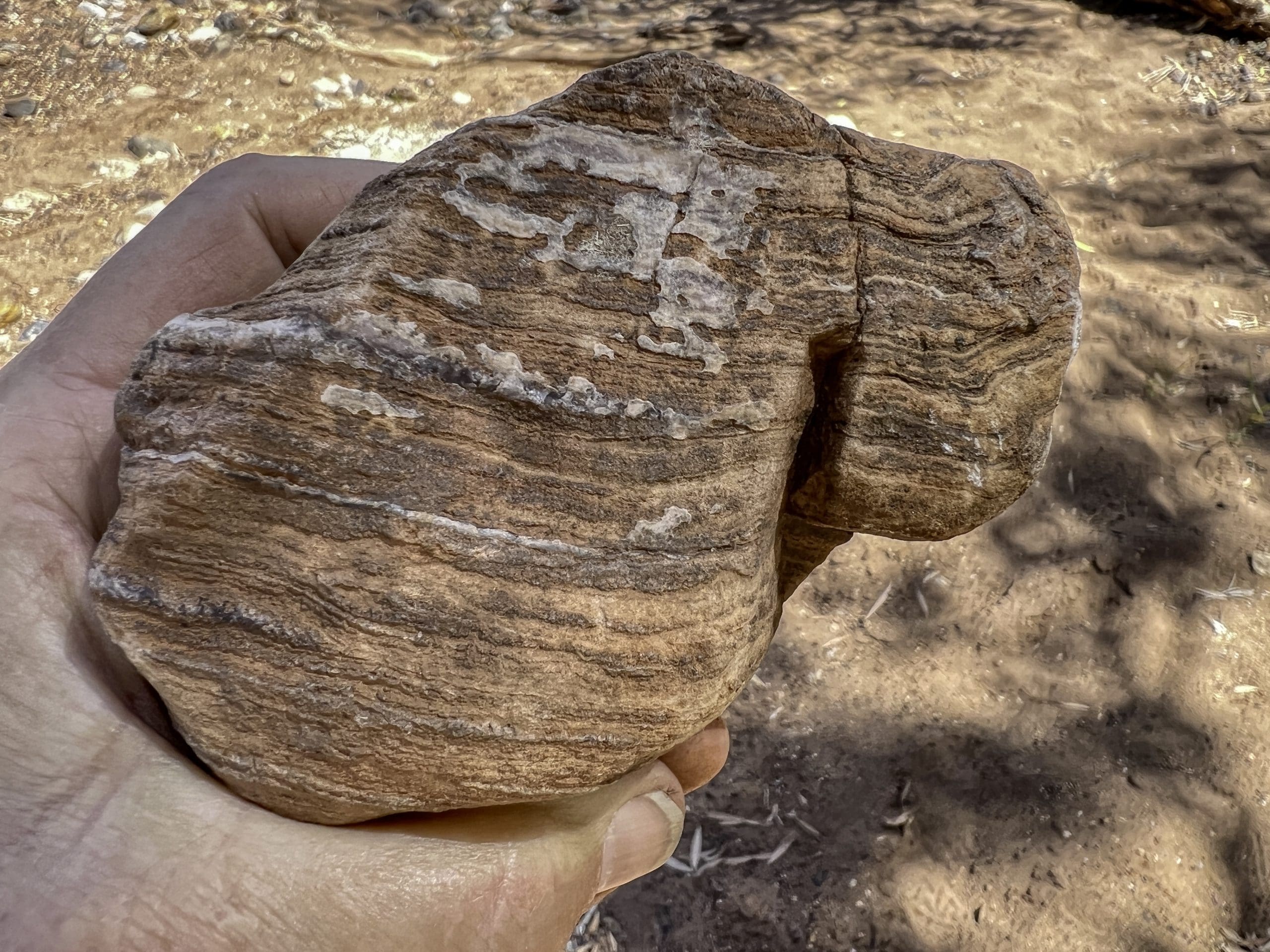
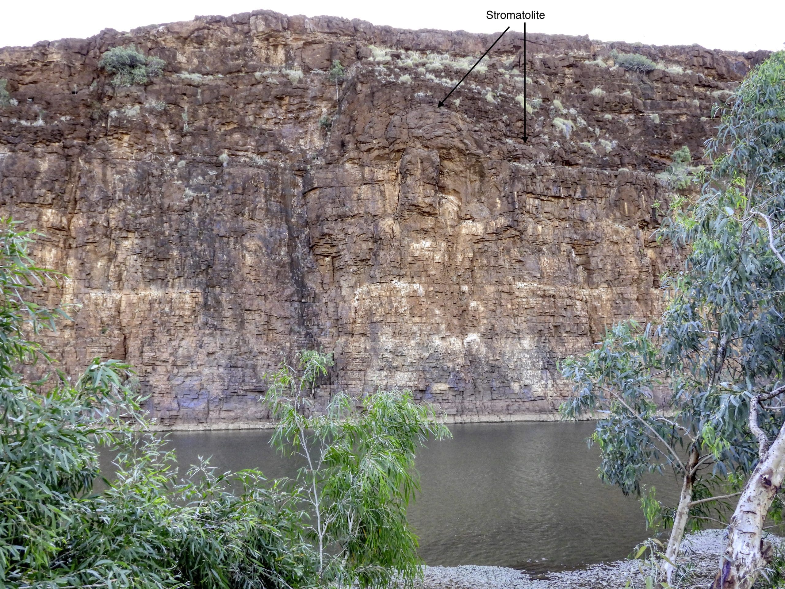
Day 9. Thursday 15th September. Quite windy overnight. Very good stars. Away at 7:36am. Clear blue sky again today. Not much change in vegetation until Telfer mine. A bit of excitement and much laughter when a deepish muddy puddle covered our vehicle with muddy water and we put muddy hand prints on the other vehicle. After Telfer, we crossed into the Great Sandy Desert. Complete vegetation change with a couple of sand dunes running parallel with the our road. A roadside water hole from overflow from a roadside pump had a few birds: spinifex pigeons, diamond doves, zebra finches. Our morning tea stop was also near a couple of water holes with diamond and peaceful doves, zebra finches and a grebe. Not long after, we came to bitumen road and a t junction. Our turn was to the left then right onto a dirt road that took us to Carawine Gorge where we will be for two nights. Apparently the Gorge is much changed after a cyclone and flood took out many of the big trees and changed the course of the river. We are back in amongst people after being by ourselves for several nights. Our campsite is quite a way from the old Gorge (but close to the current water course). It is a popular spot. Carawine Gorge is a bird rich site. The water is almost permanent and has resident species of bush birds, water birds and a few migrant waders. Huge stromatolites making the Gorge cliff wall.
From: Discovery Trails to Early Earth by Martin Van Kranendonk Pages 60-85. Notice the time scale graph at the top of odd pages. The rocks of this area are mostly more than 2,500 Million Years old – with a large variety of geological features from ancient volcanoes, glaciers and stromatolites.
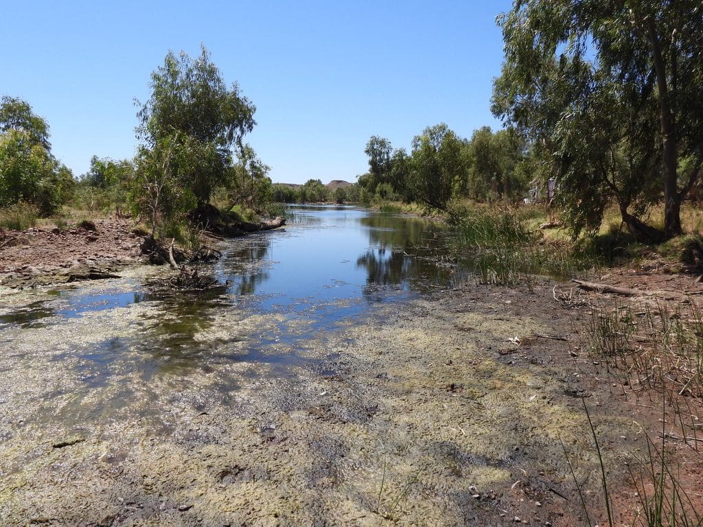
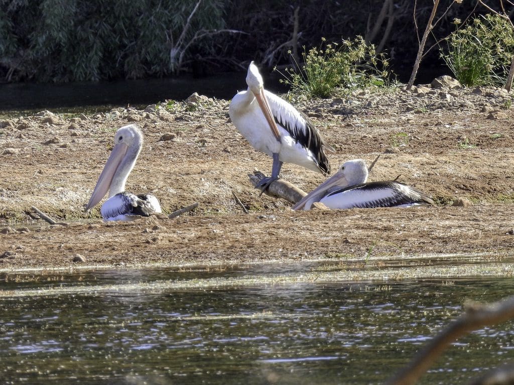
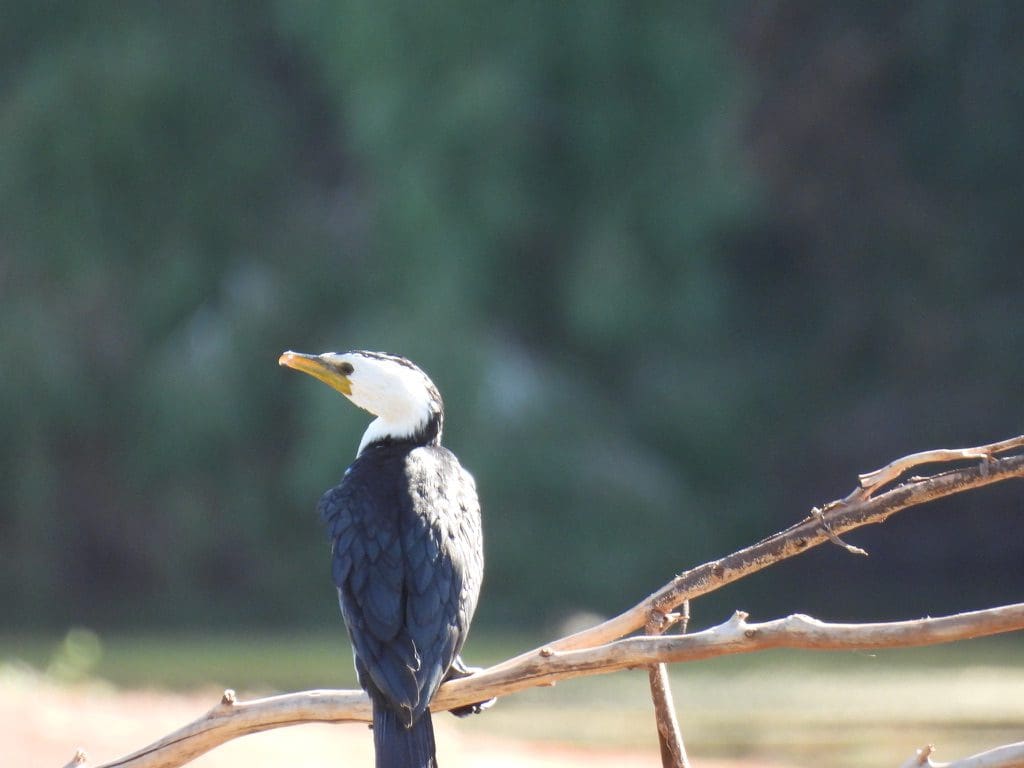
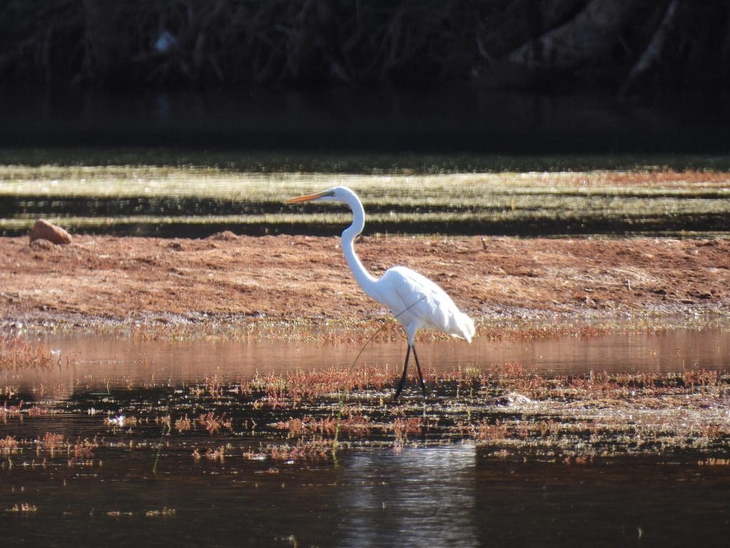
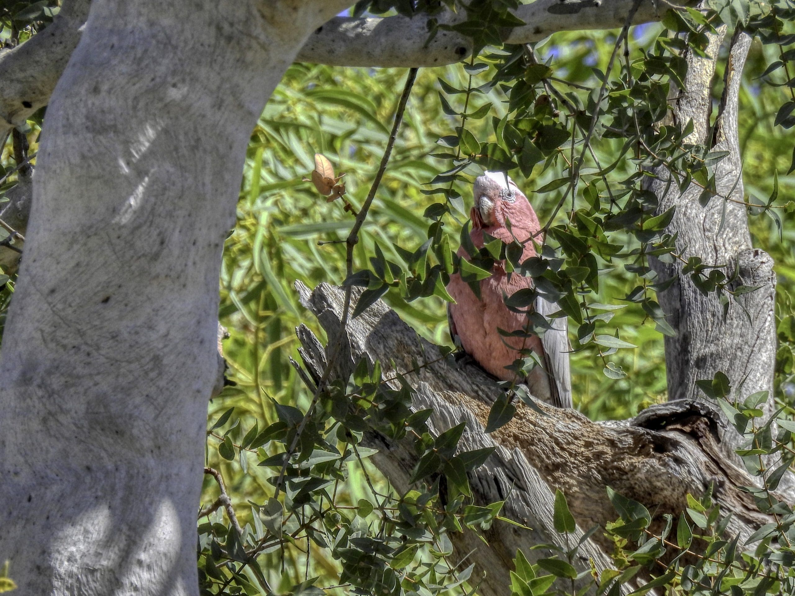
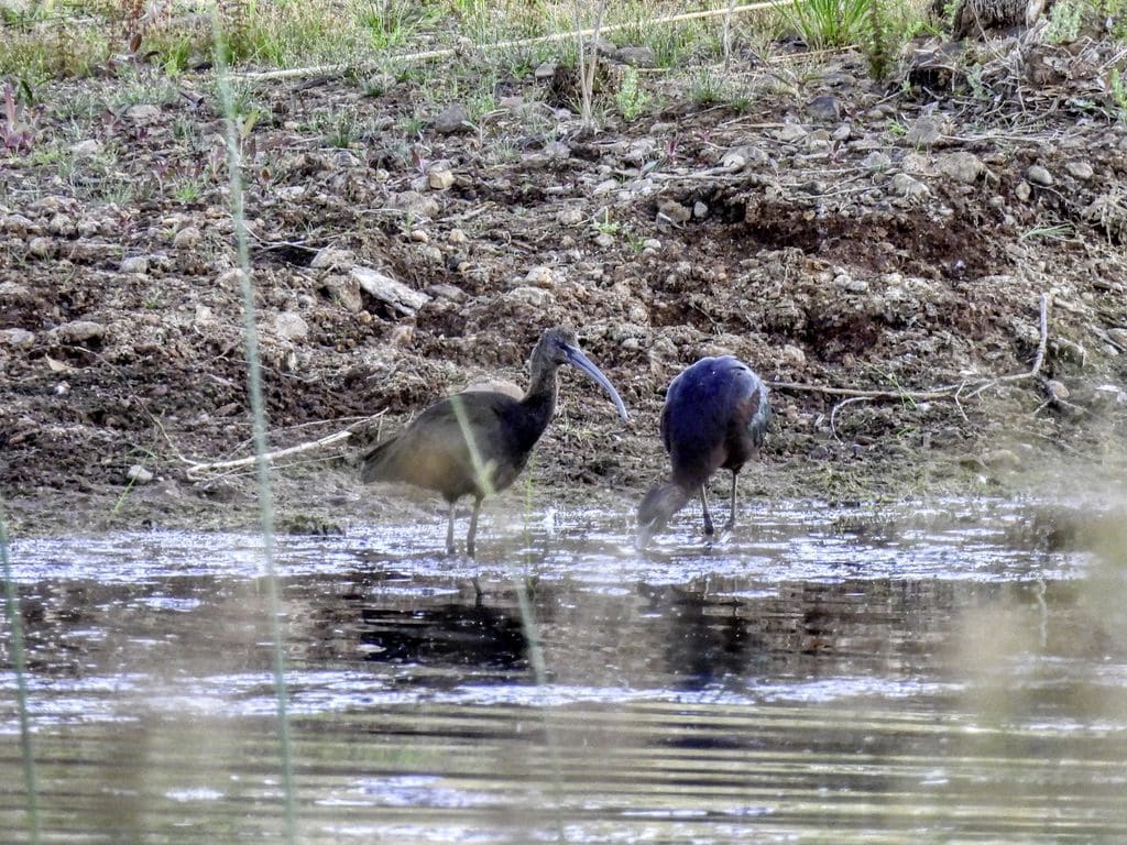
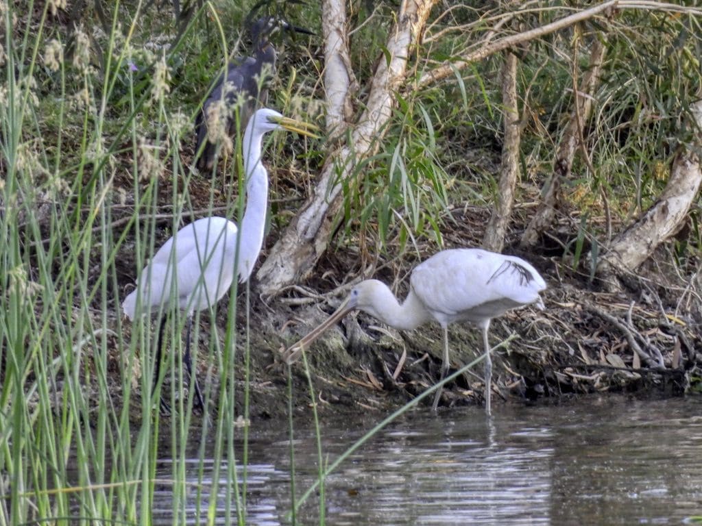
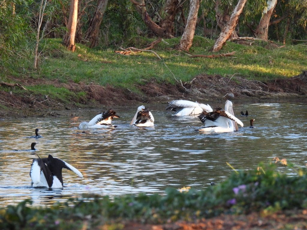
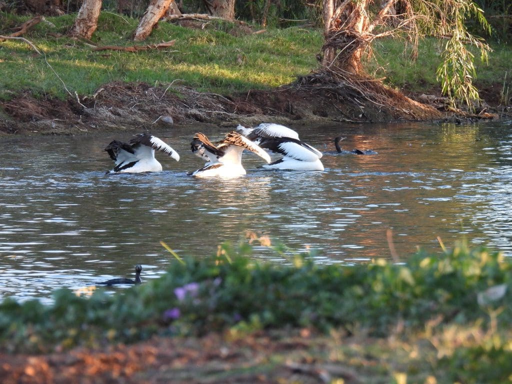
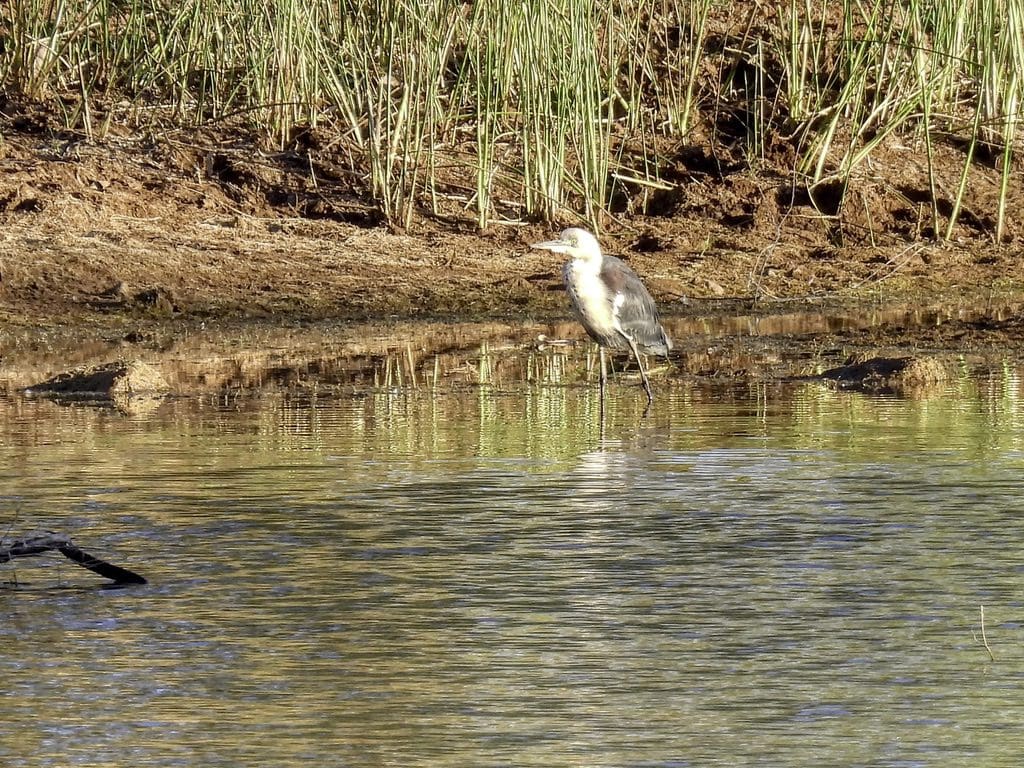
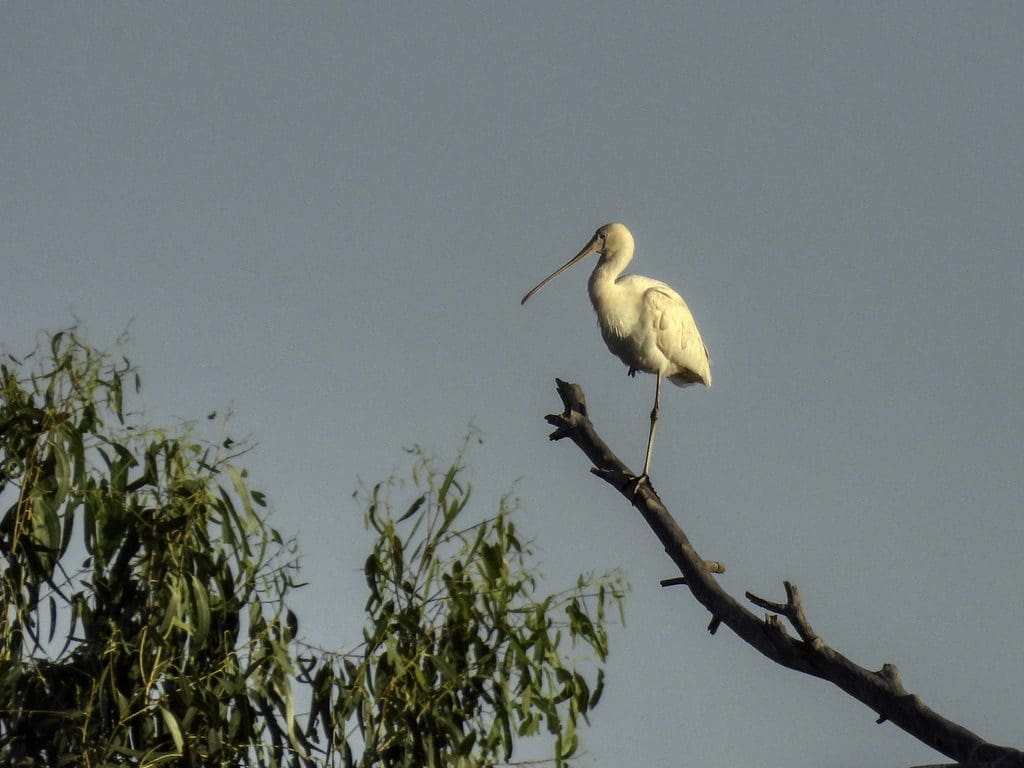
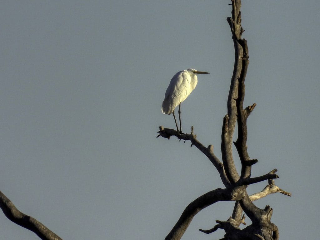
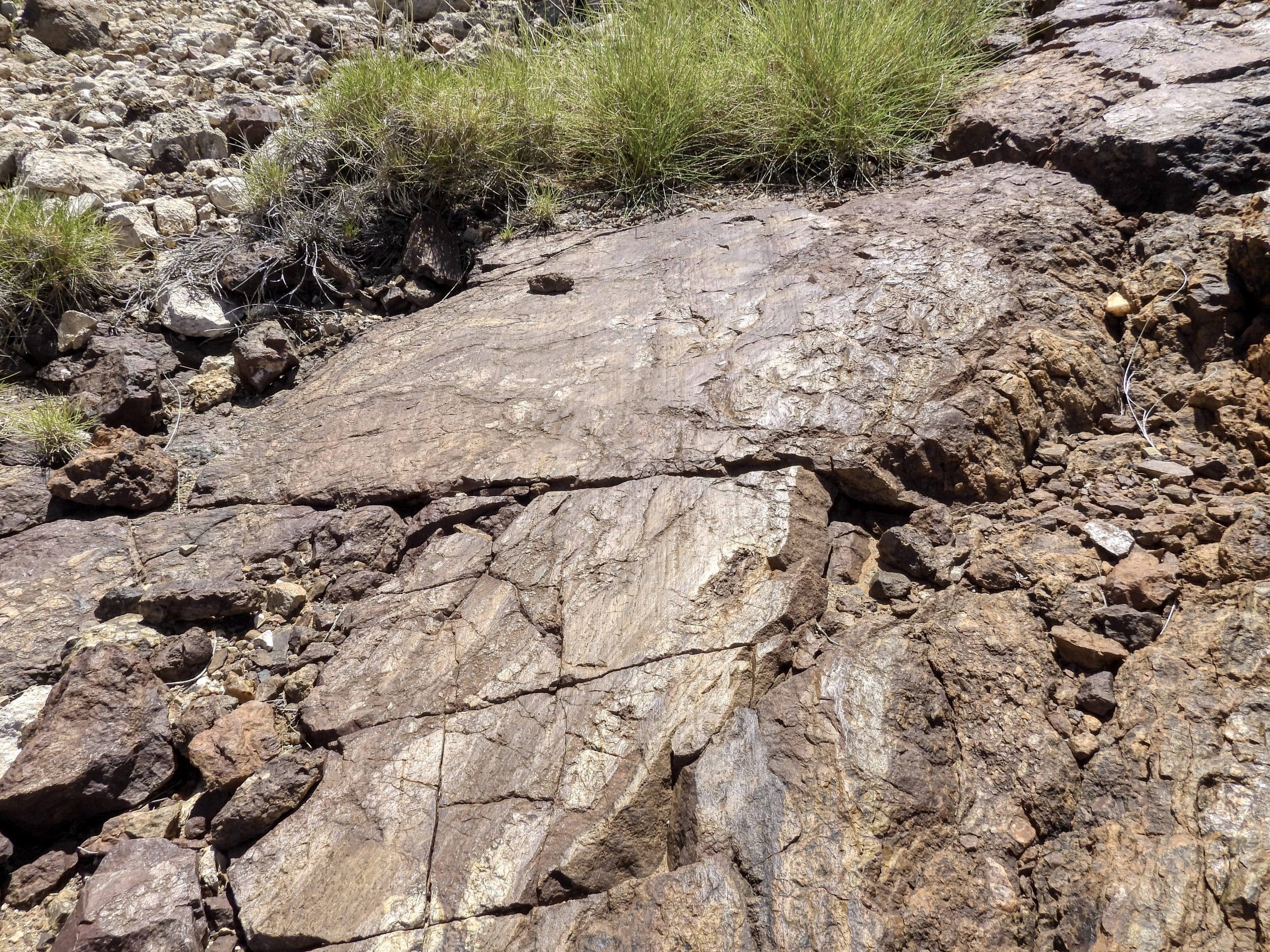
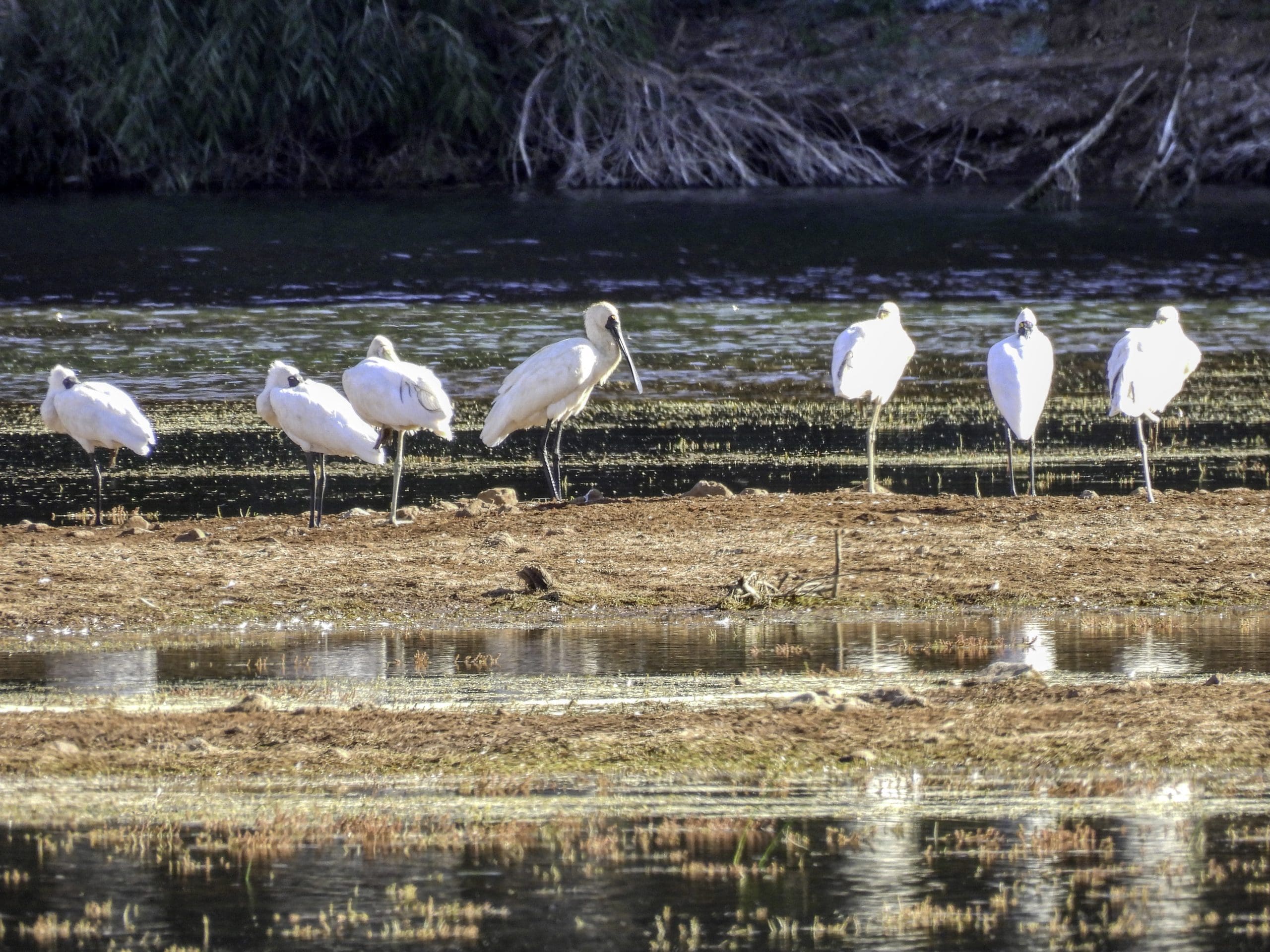
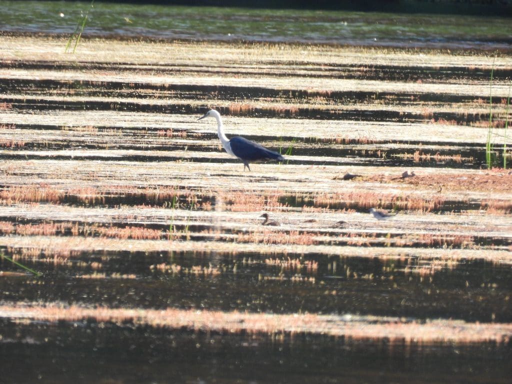
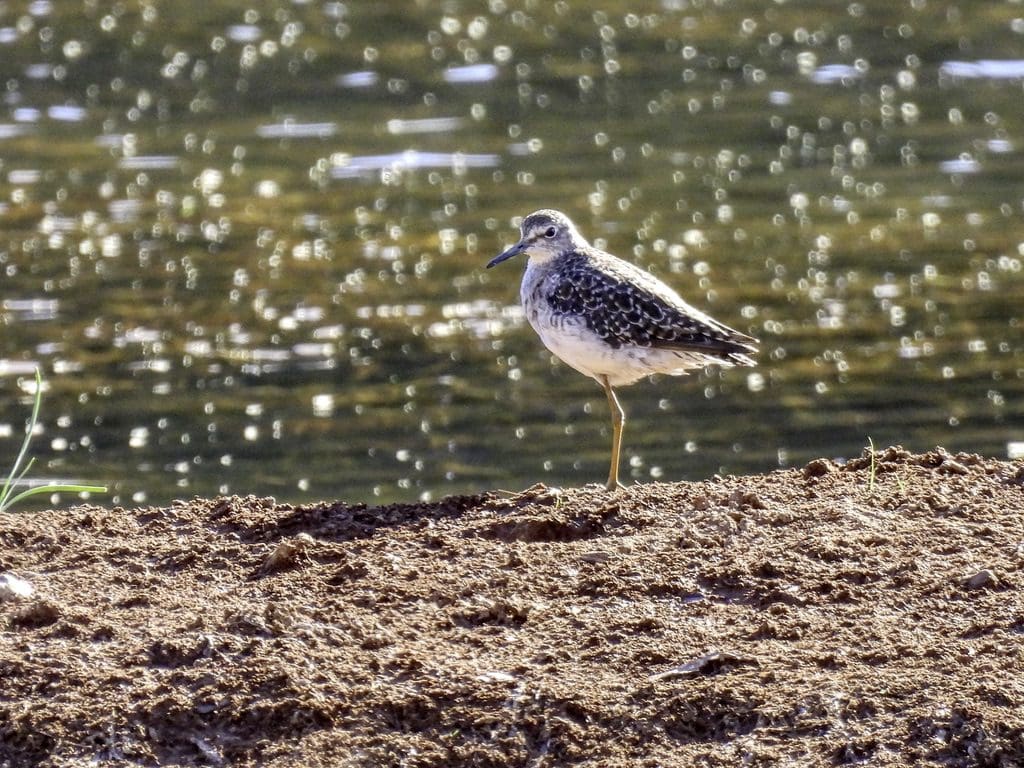
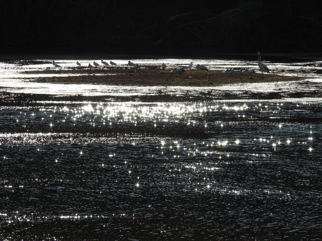
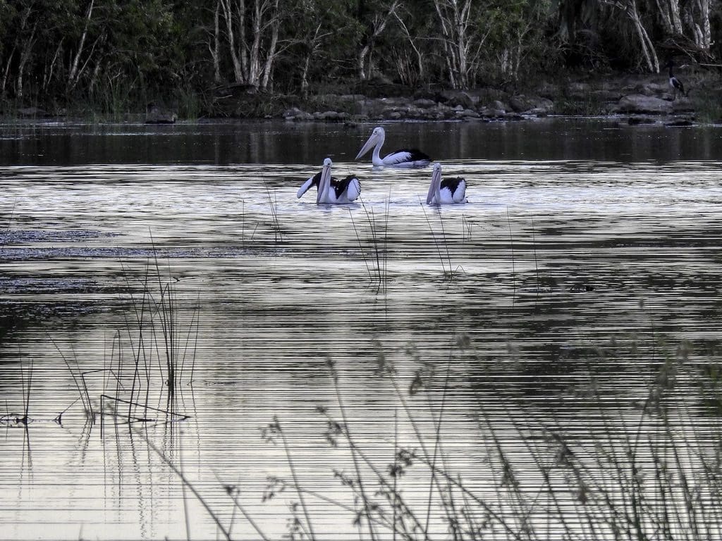
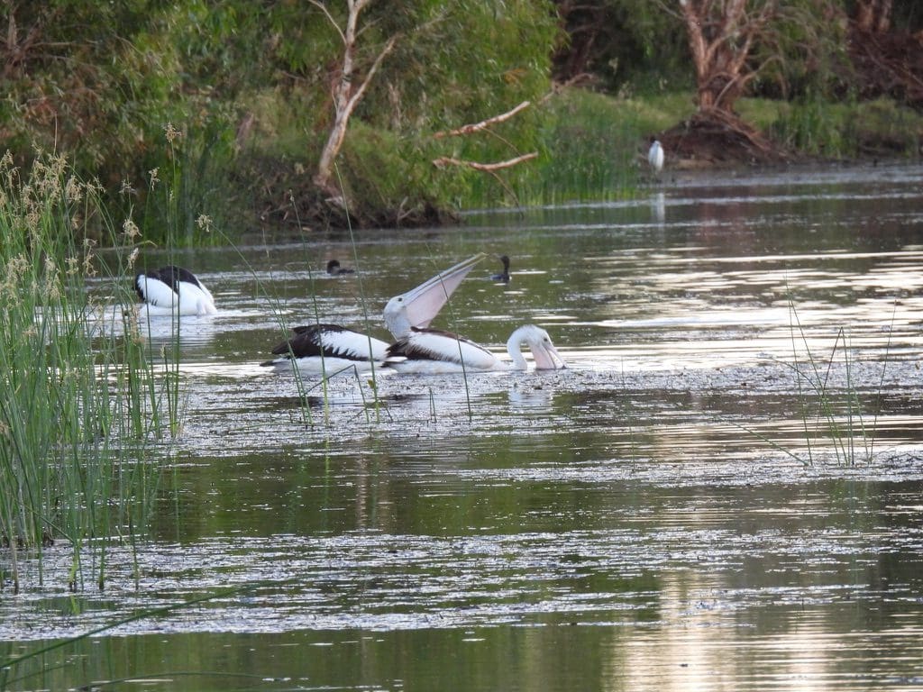
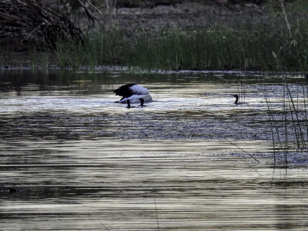
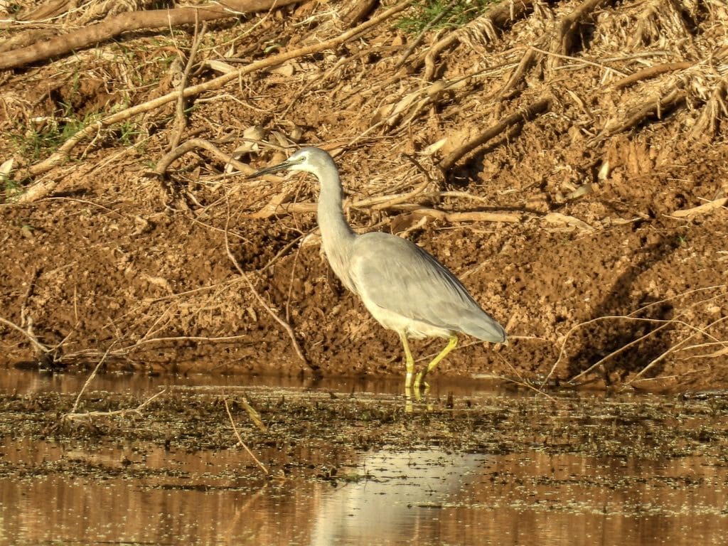
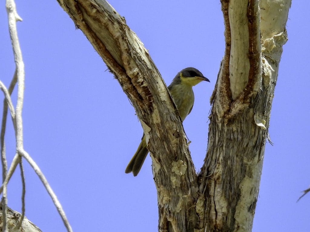
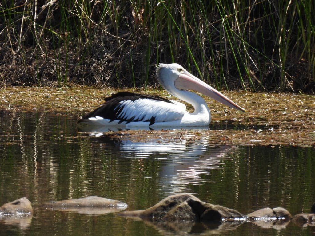
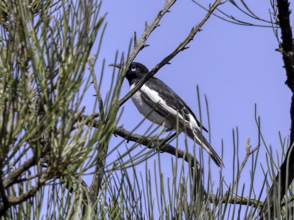
Day 10. Friday 16th September. An early morning bird walk at 6am. Very good birding with many water birds. Pelicans in fishing parties. Big flocks of little cormorants and great cormorants. Three types of egret. Yellow-billed spoonbill. Glossy ibis. White-necked and white-faced herons. After breakfast we drove off to the upper end of Carawine Gorge. Two beautiful shallow pools connected by a low human-built weir. Morning tea. A few in for a swim. Stromatolites in the river rubble. After lunch, at 3:30 we went for another bird walk. Quite good. This is an excellent birding spot and an important water hole in the desert for birds with its permanent-ish water.

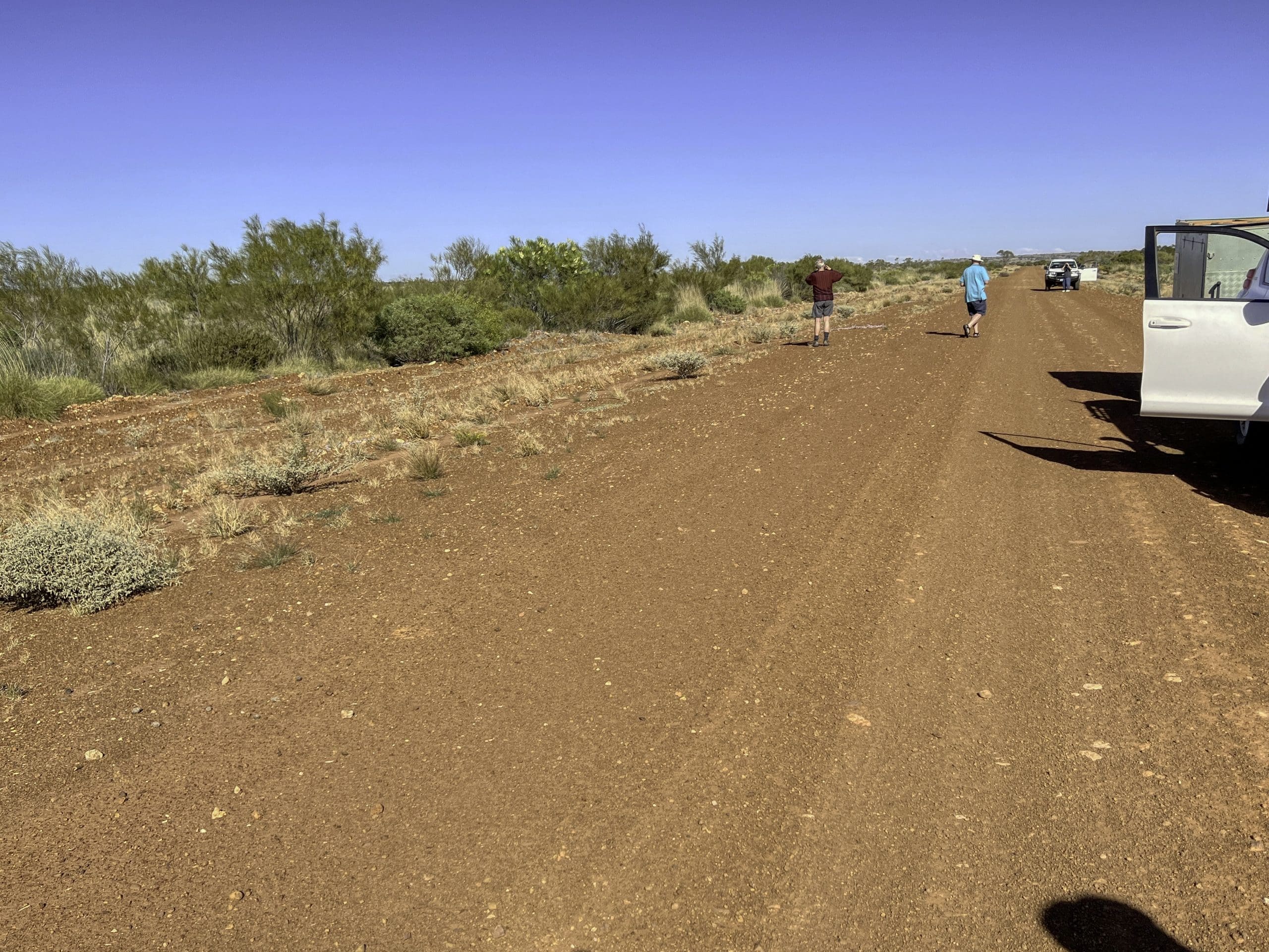
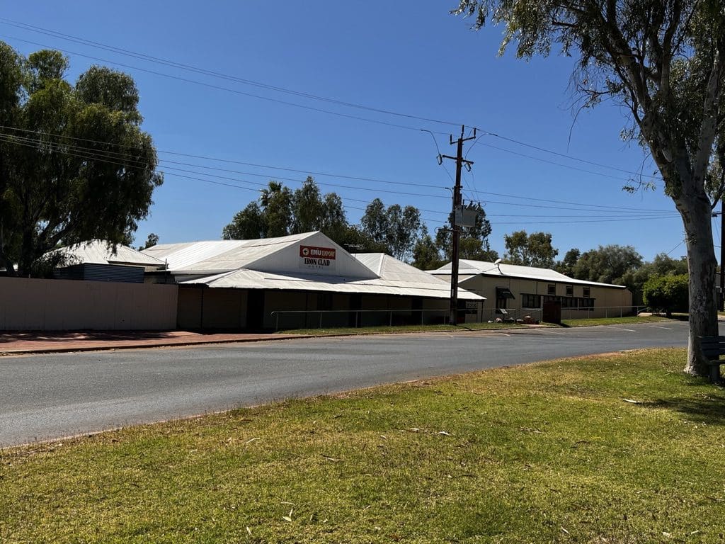
Day 11. Saturday 17th September. An early morning bird walk – unsuccessful – we went in the wrong direction. Back to camp for breakfast, pack and load. Away just after 8. A drive on bitumen to Marble Bar. We are on bitumen and on our way back. At Marble Bar we visited the little shop for a few supplies before it shut at noon; the info centre to buy a few books; the marble bar itself to take a few pictures; Chinaman’s pool to have lunch. Marble Bar is a misnomer – the bar is actually a silicate (jasper) not marble (a metamorphosed carbonate). At the campsite at 1:30pm. We are in a shady-ish site. After tent up, Helen was straight over to get our washing on. Then showers – a bit of a delight after over a week in the desert without one. For me, I then spent the afternoon charging camera batteries. I brought 5 with me and was on my last one and counting shots this morning – about 100 left before catastrophe. Out to the at the Iron Clad Hotel for tea, a totally forgettable experience.
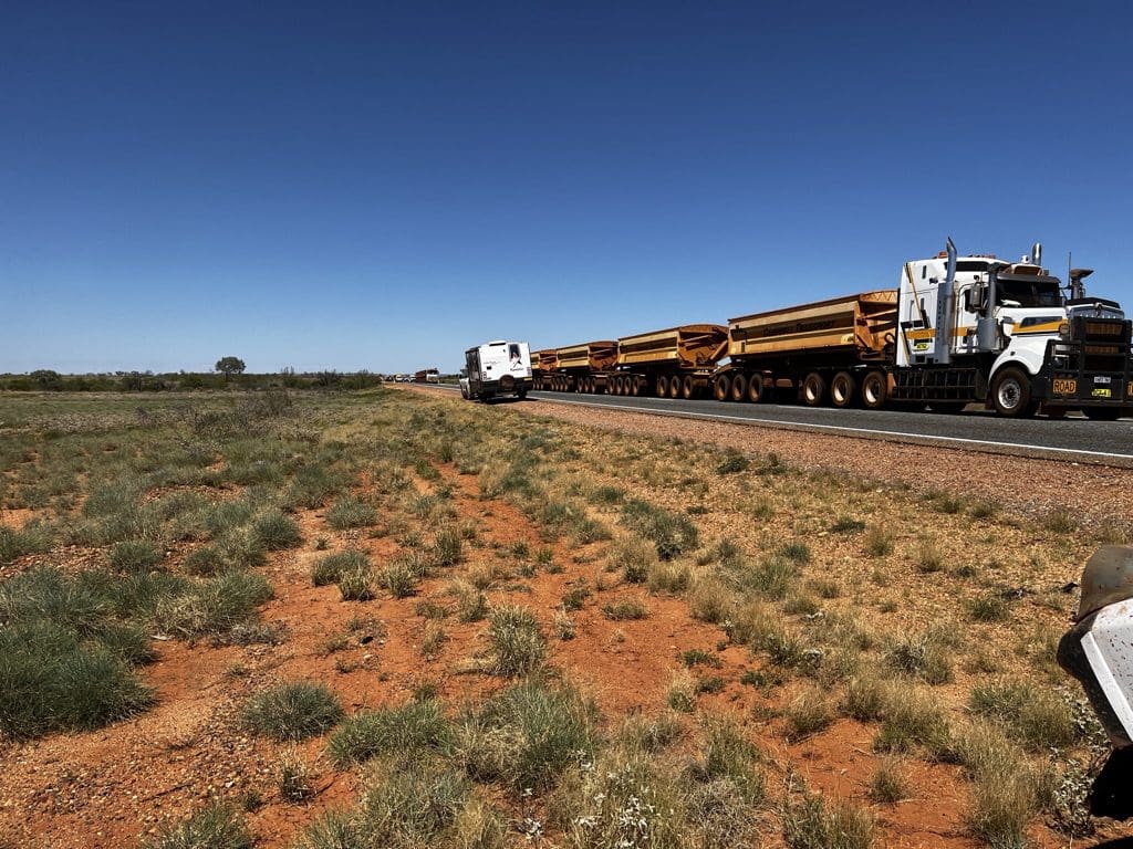
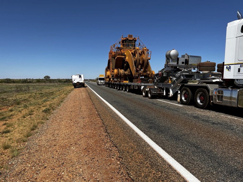
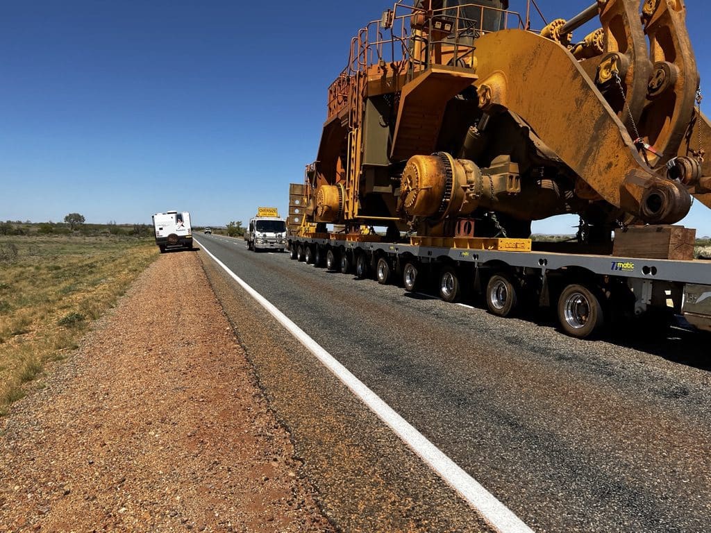
Day 12. Sunday 18th September. Away early 7:20am. Drove first on a rough dirt road that eventually took us through aboriginal land and community before taking us back to the great northern highway that we followed to Newman after lunch for an important restock. Immediately back in the cars to keep driving south to make up as much time as we could. That dirt road cost us a lot of time and we should not have been on that land. Great Northern Highway is very busy with big mining trucks and equipment. Not easy driving. We ended up pressing on to Kumarina – our stop on the way north. We did 625km today – a huge day of driving and not much time to see anything. Ah well. A cold shower tends to put it right.
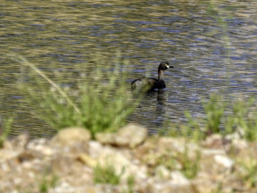
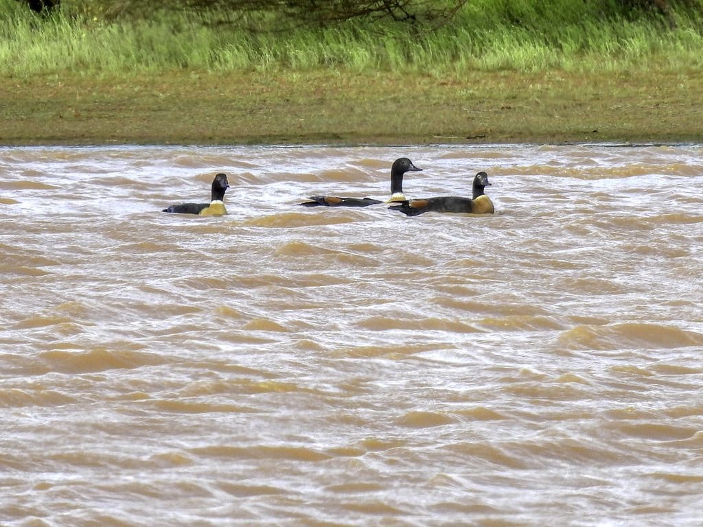
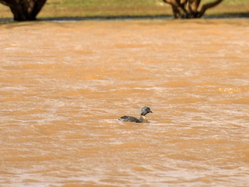
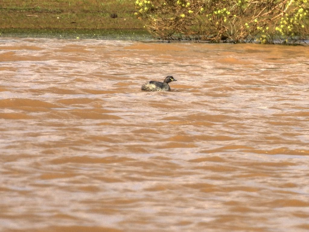
Day 13. Monday 19th September. Early start. Away at 7:25am. Drove to Meekatharra with a couple of plant stops and morning tea along the way. Lunch just before Cue beside a lake. Windy and it rained lightly just before we stopped. A few new birds for the trip: Australian Shelduck, brown songlark, hoary-headed grebe, inland thornbill. At Cue, a walk around the almost ghost town: shire office/museum, deserted main street, post office/Centrelink/tourist information. A dead town. The wind came up very strongly accompanied with a severe weather warning and it became quite cold. Bit of a challenge to get all the tents up and pegged down securely. Our daily bird call was held in the shelter of the amenities block. Tea was also at the amenities block.
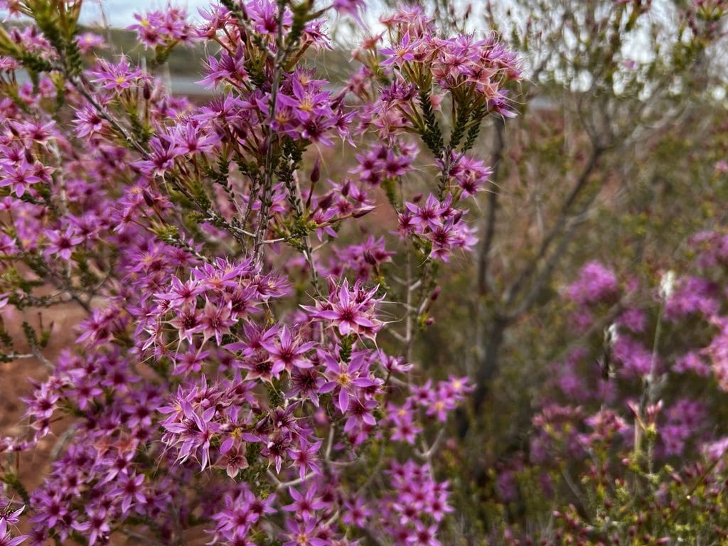
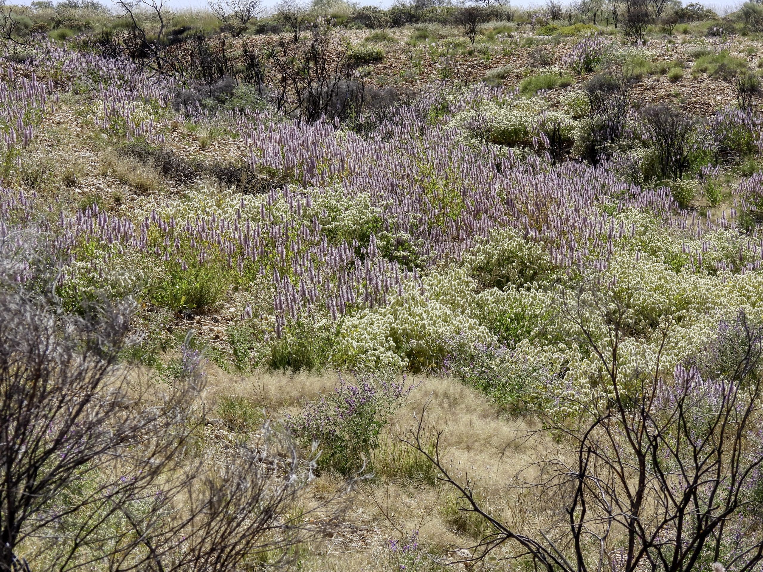
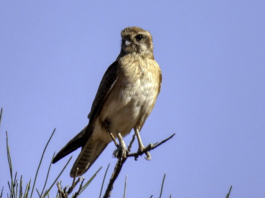
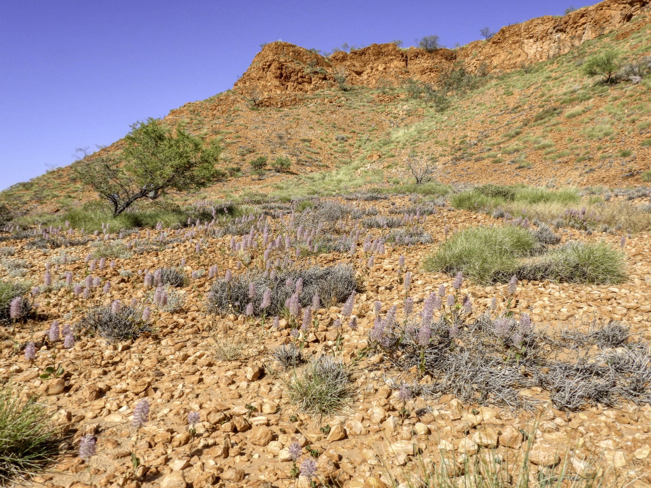
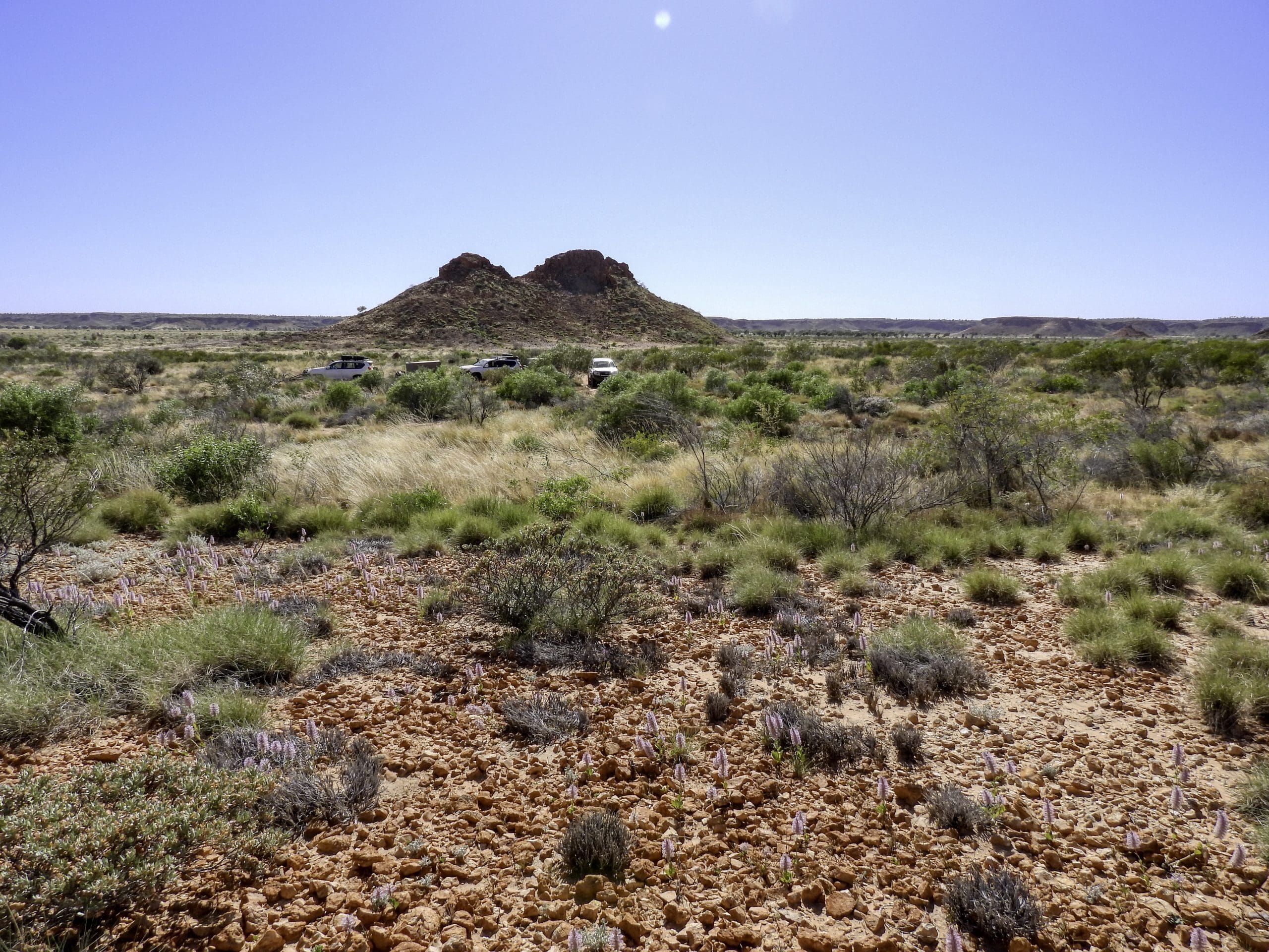
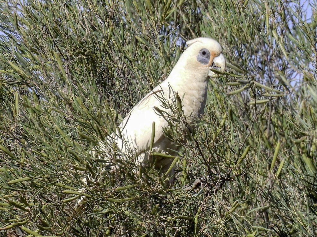
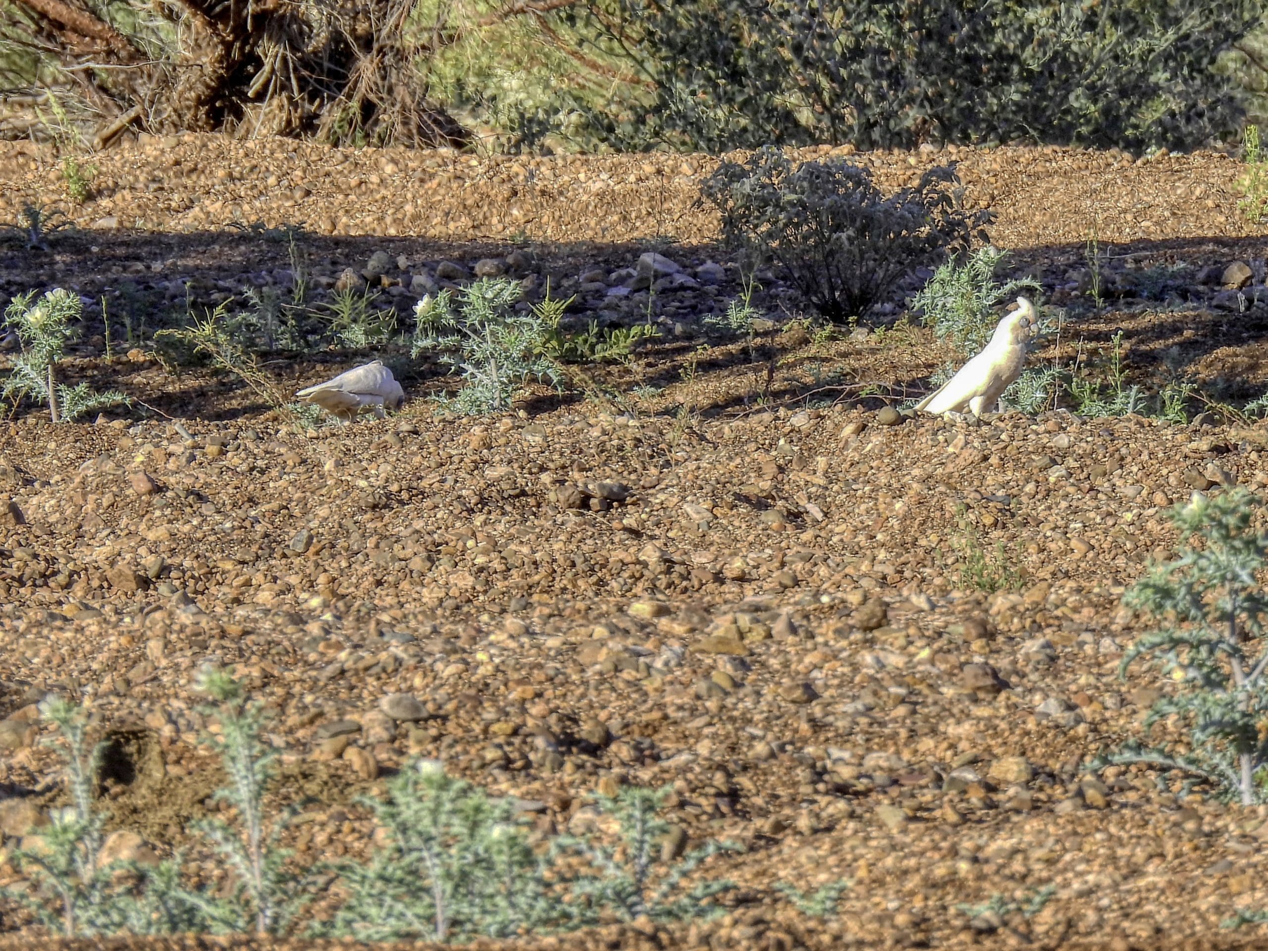
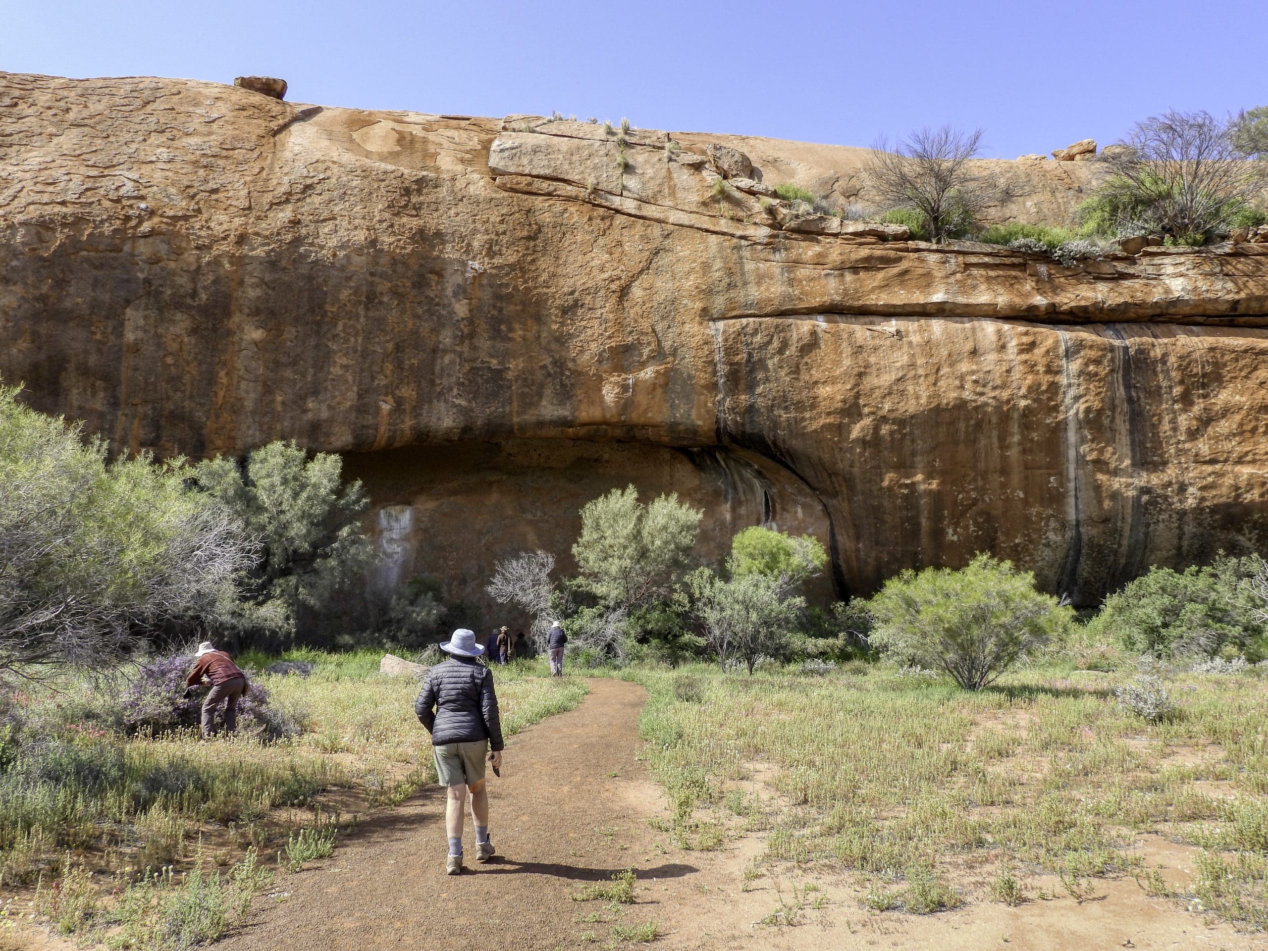
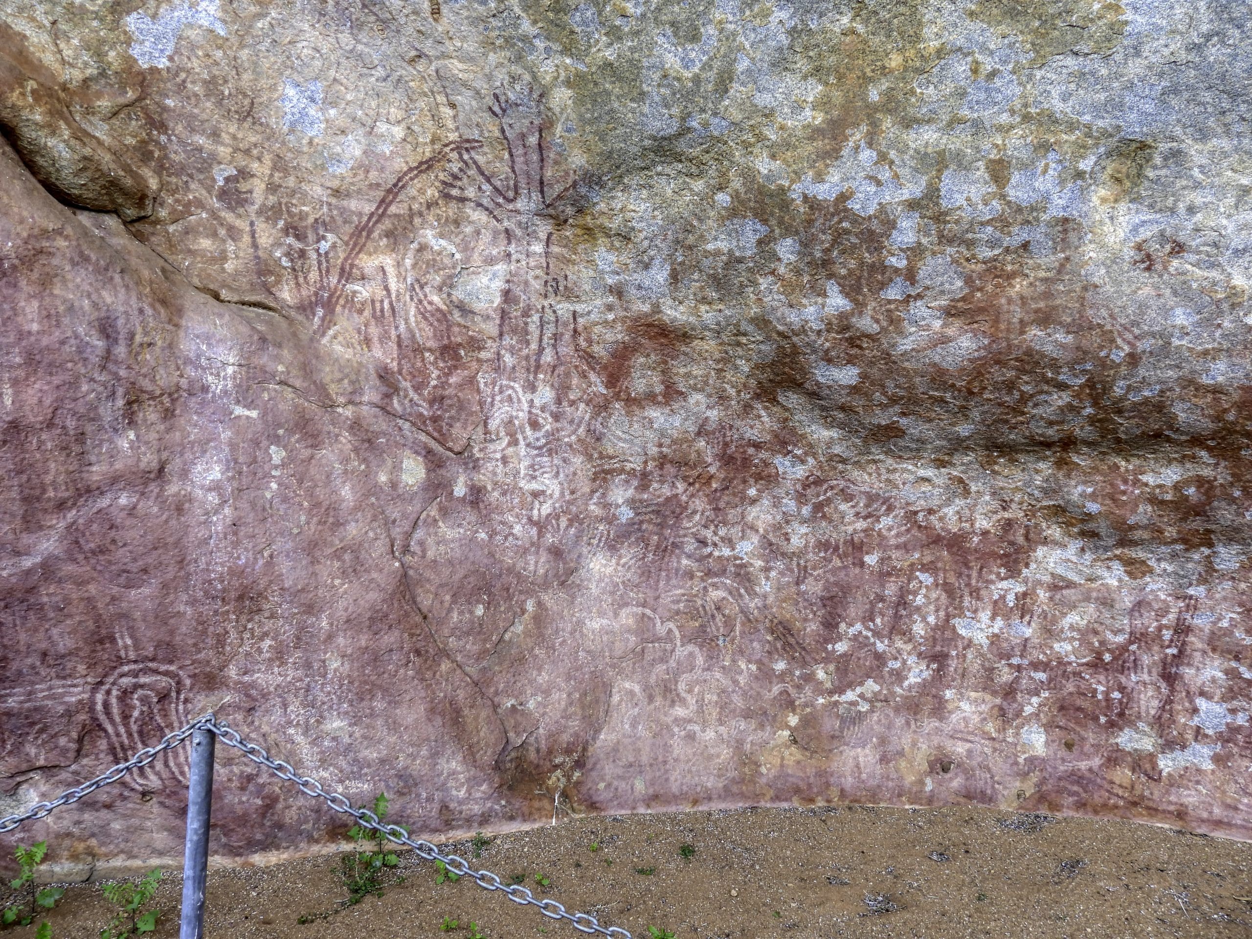
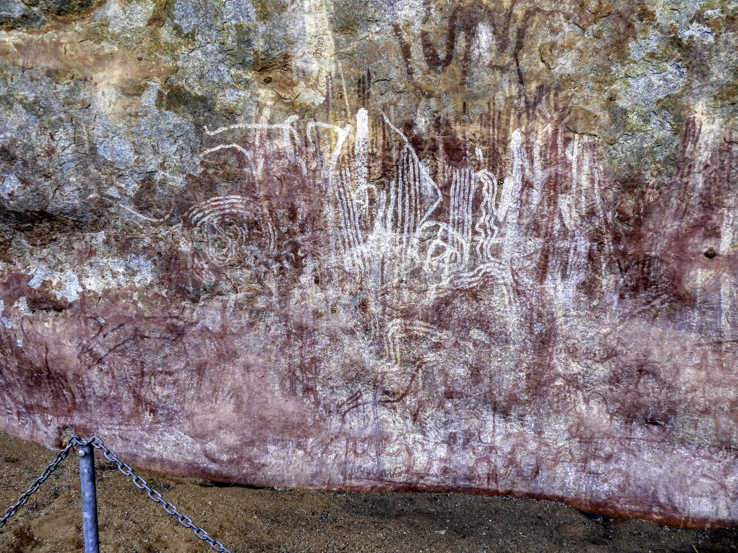
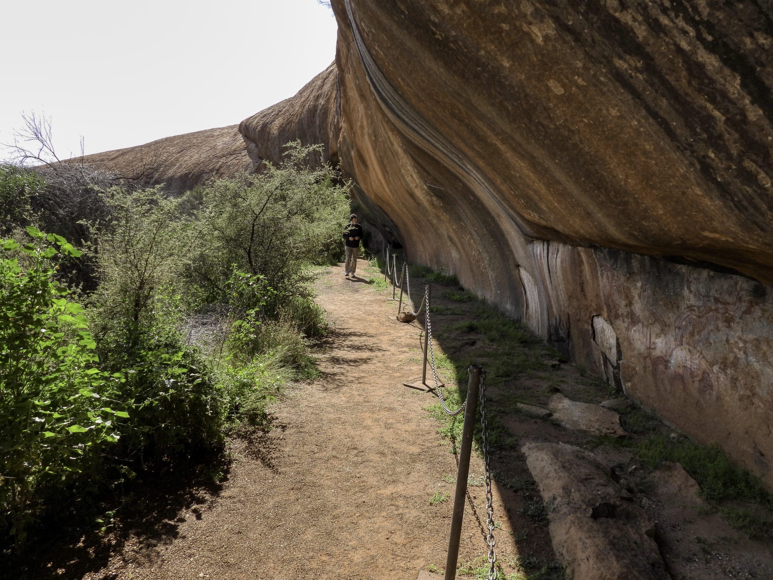
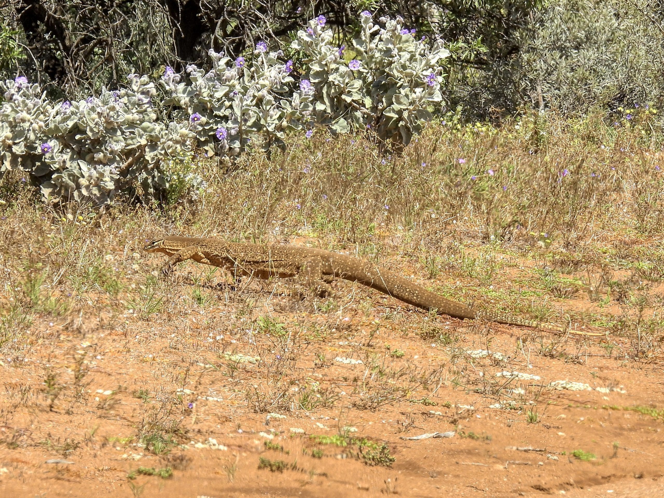
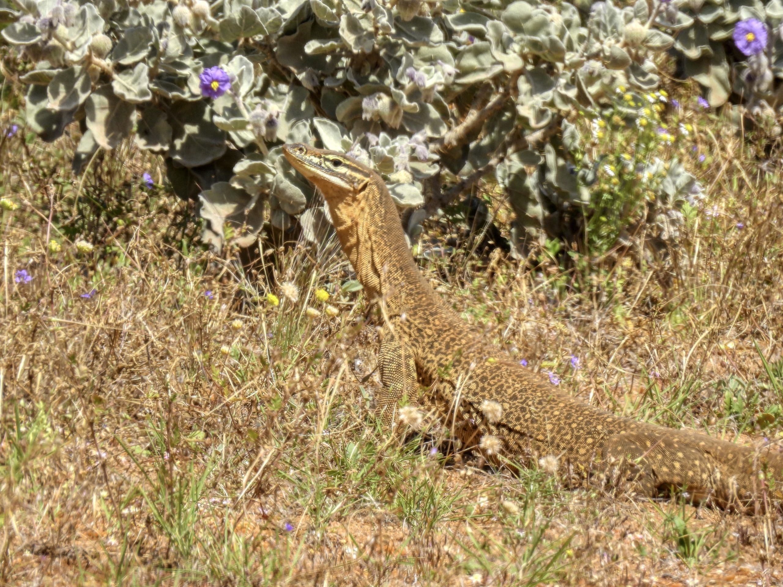
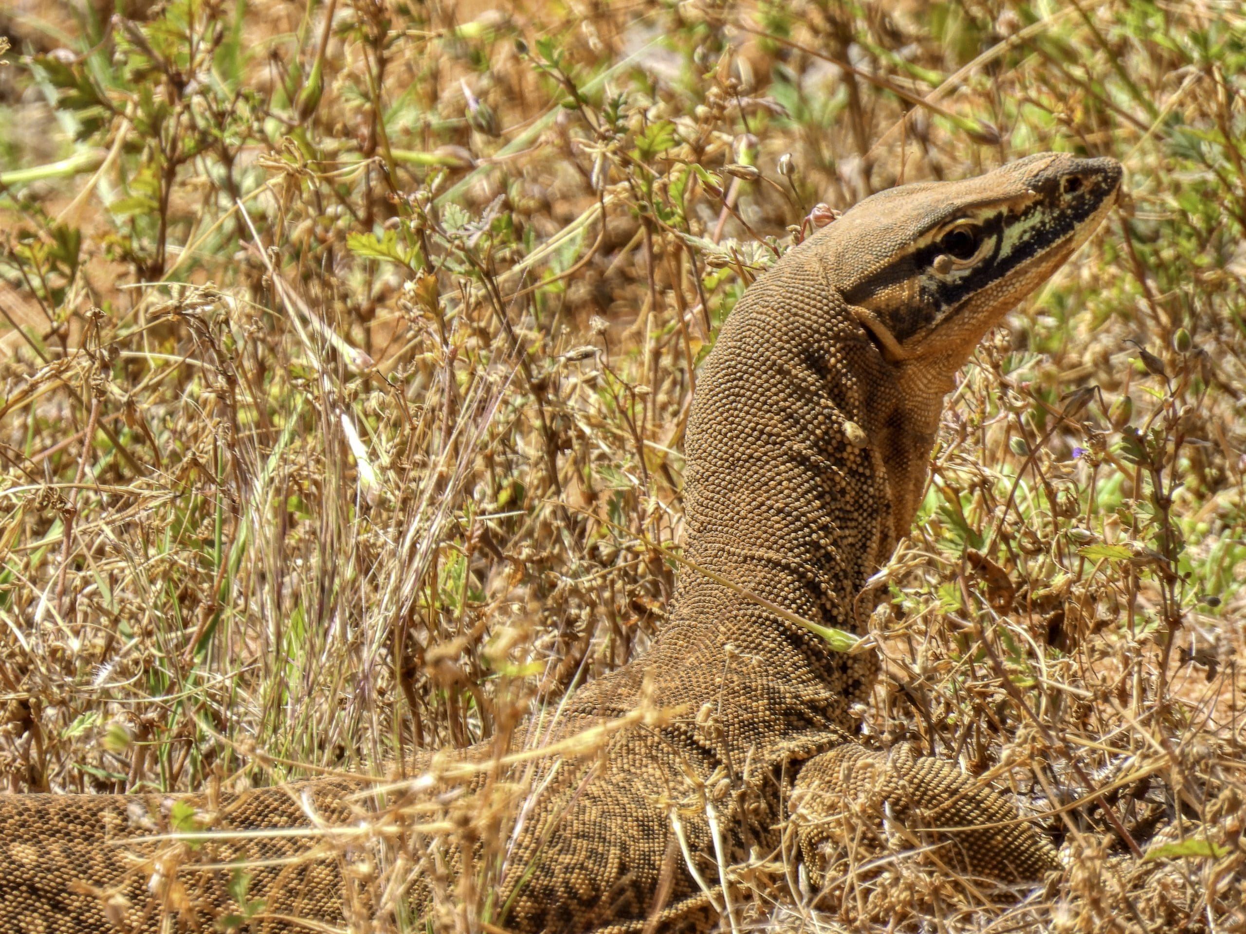
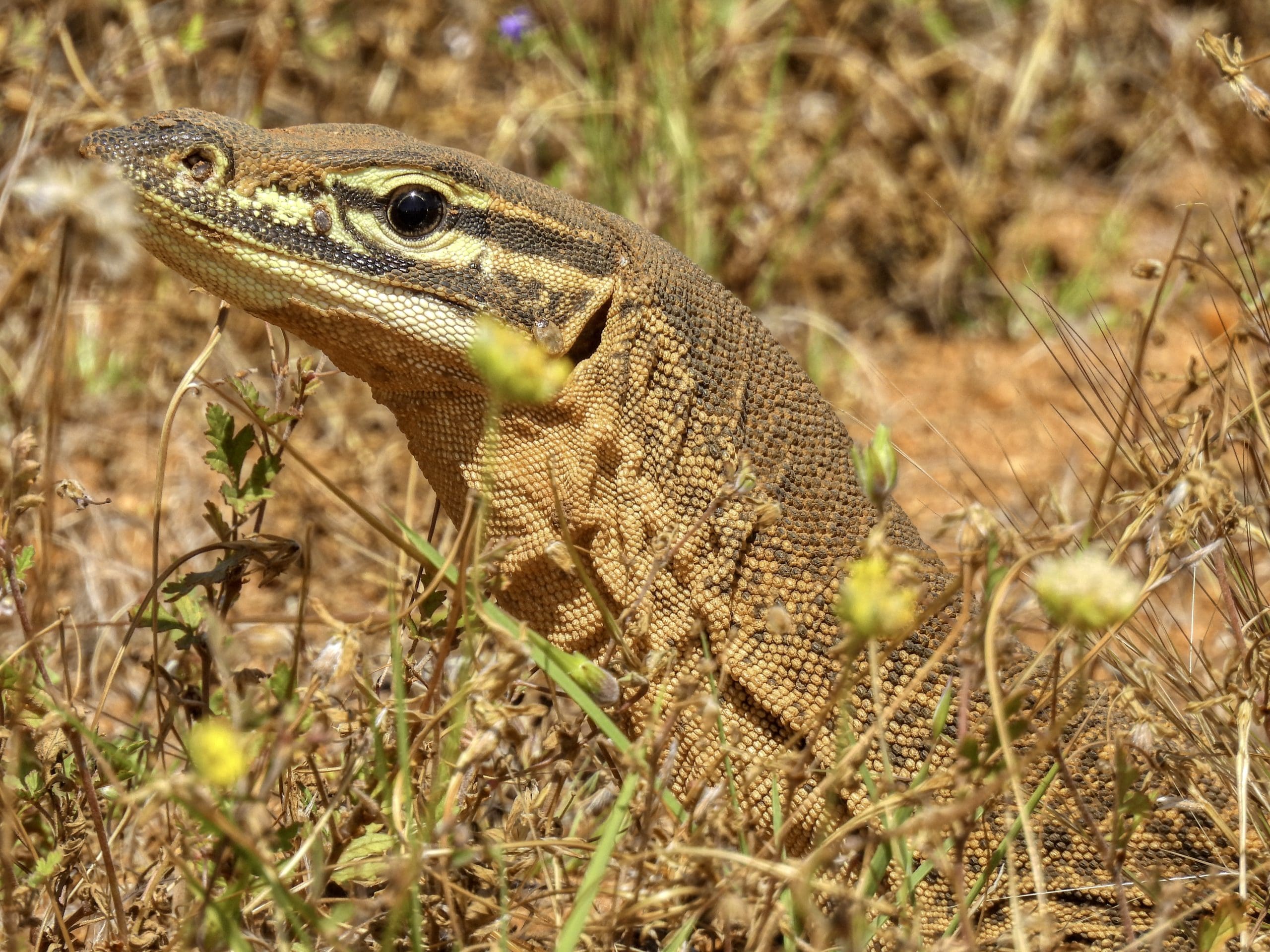
Day 14. Tuesday 20th September. Away early again. Fortunately the wind had died during the night. Quite dewy in the morning. Wet tent and fly, so tents and flys put away last after breakfast. Drive to Big Bell, the remains of an old mining town. Now just a few ruins. Not bad birding: pallid cuckoo and Australian hobby. On to Walga Rock a granite monolith and a very old aboriginal art site and sacred site. Good birding again. Could have stayed here for a few hours on a chair with a sight of the bird activity. An extremely important spot for birds – as well as being a significant aboriginal site. Next, we called in to see the small Dalgaranga Crater – just 25 m wide. A small stony meteor that crashed in almost vertically about 3,000 years ago. Saw a nice large goanna along the way – sand goanna Varanus gouldii Our drive east of Cue until we got back to the highway at Mount Magnet was on dirt roads through a diverse low-level mulga scrub. After the recent rain event, the country is looking as good as it gets with many species in flower. Quite extensive ground-cover of flowering plants (and bare red dirt). Large number of birds at each stop. Quite an extraordinary patch of country. Very glad we had that detour away from the Highway. Another new bird: pied honeyeater. From where we joined the Great Northern Highway at Mt Magnet we had a straight run down to Paynes Find for the night. All the way, we were in mulga country with the ground covered with flowers. 354 km today. A much shorter day than two days ago. The cumulative distance is catching up with all of us. Tonight we are at the Paynes Find Roadhouse a fairly rough affair – old and worn but clean-ish. We are camped in a grassy area between disused dongas.
Day 15. Wednesday 21st September. Our last day. Mop out tents and tent inspection. Away at 8am. Farewell Paynes Find. 425km to Perth. Long distances in WA without internet/phone coverage. Marvellous changes in vegetation types as we came south. From the mulga shrubs to a heath to the wheatbelt. It does not matter where we stop there are interesting plants to look at. Morning tea at Wubin Rocks. Stopped at Dalwallinu: wattle capital of the world with 186 species of wattle in the shire. On to New Norcia for lunch. An extremely depressing place – all those ruined lives. I found it very hard to get over that this was a concentration camp of aboriginal children who were used as slave labour – and this is still celebrated with photos on walls of children performing as slaves. Distressing.
Delivered to our hotel at 3:00. An excellent and very interesting, enjoyable trip. Now begins the cleanup and recovery. We are off to our next destination in two days.
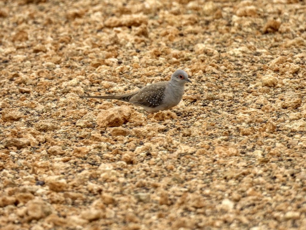
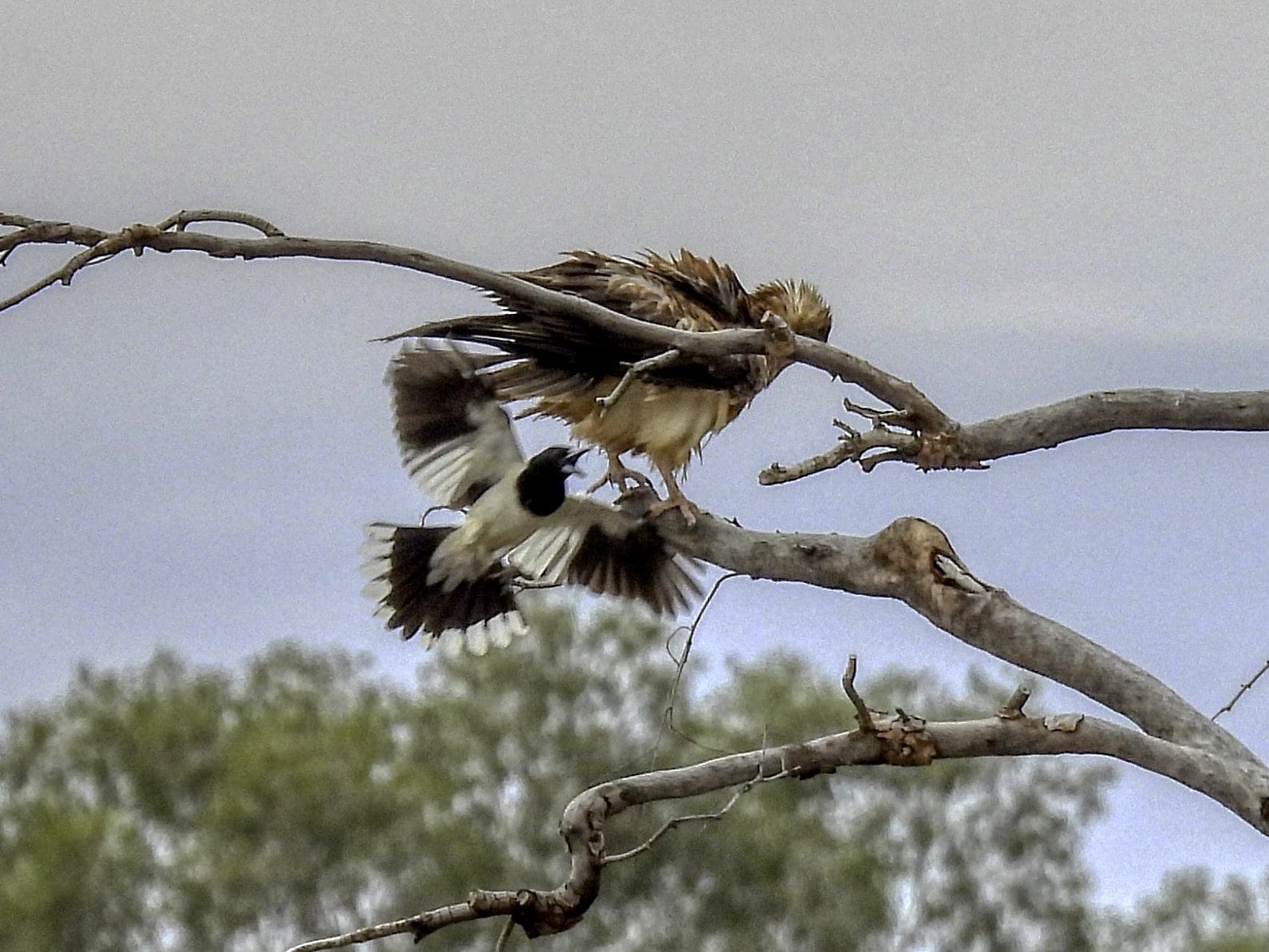
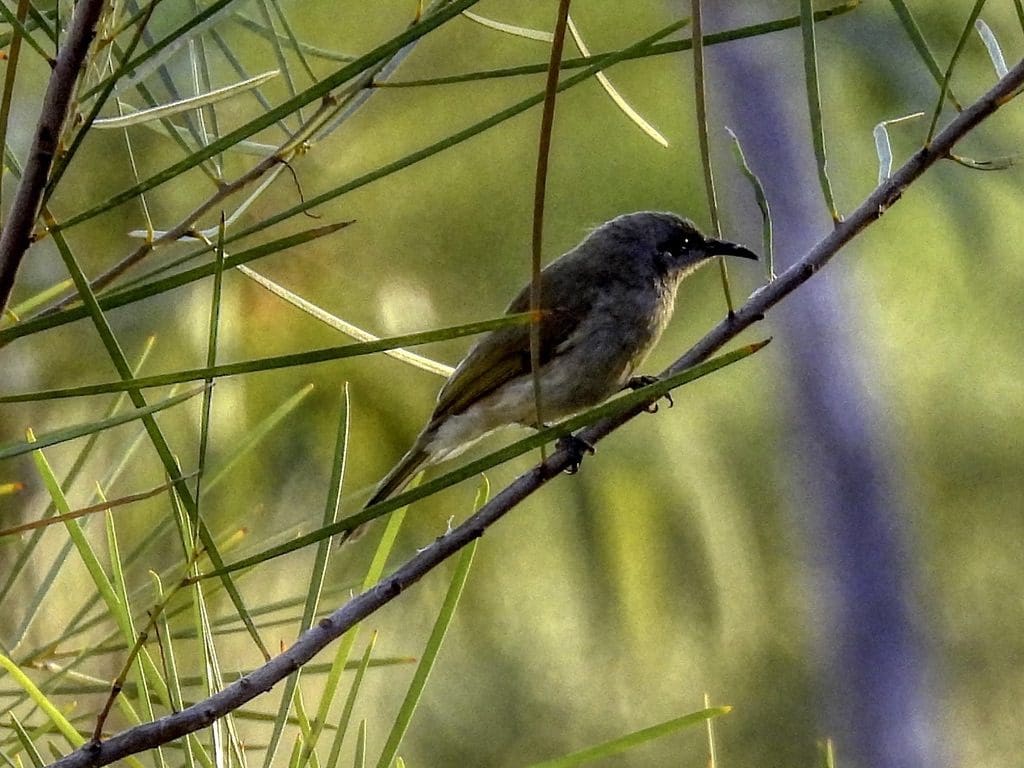
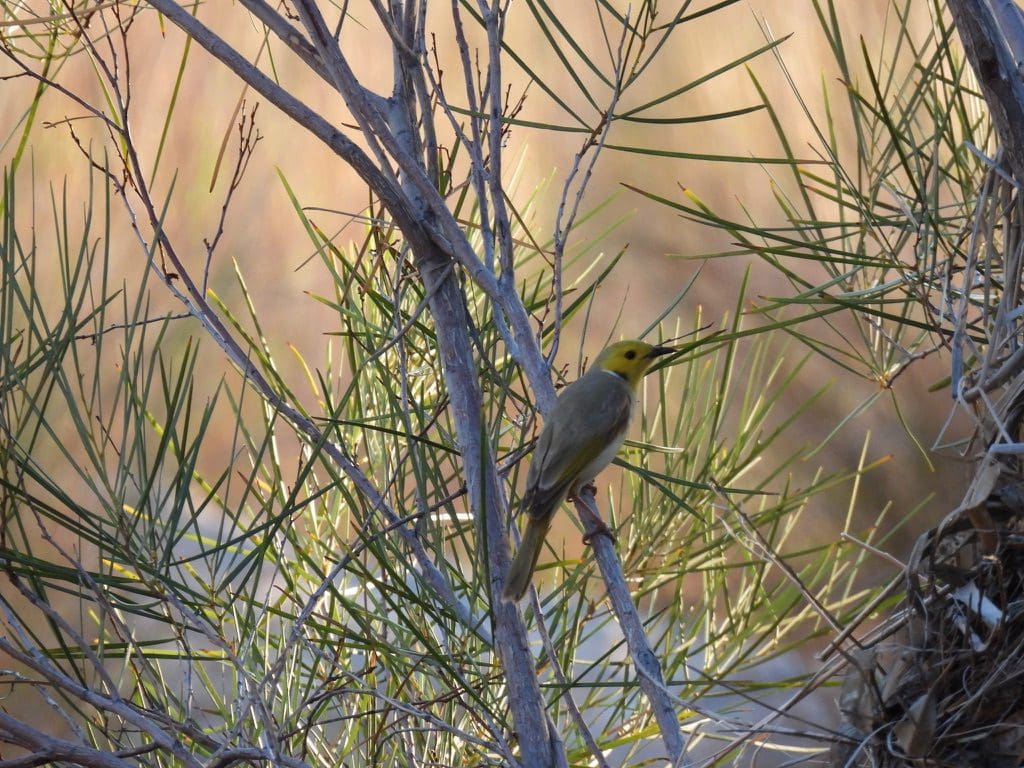
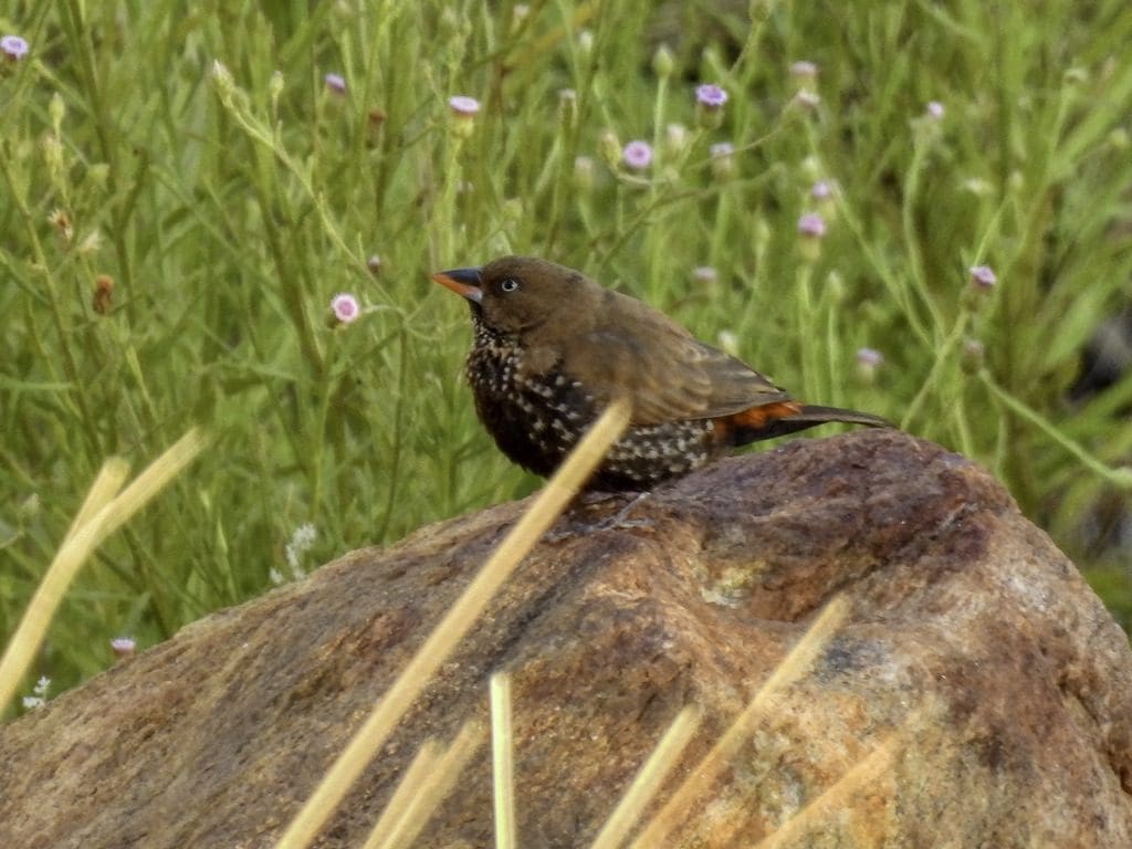
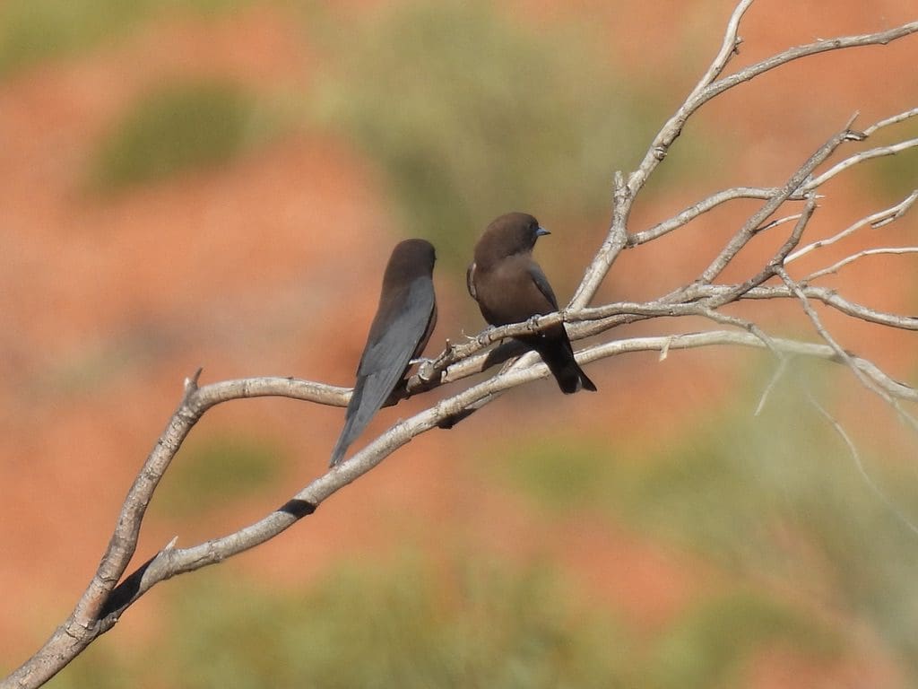
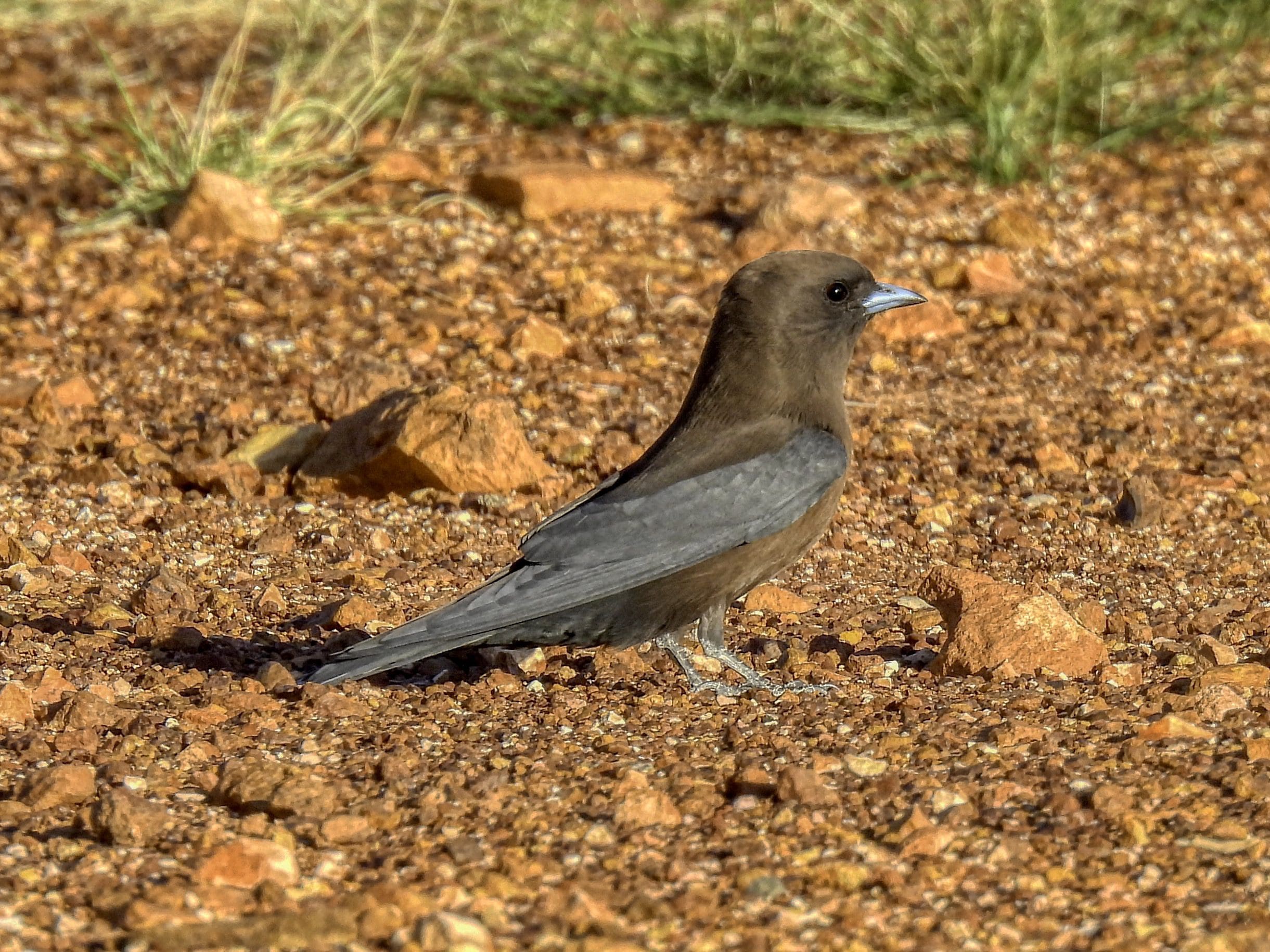
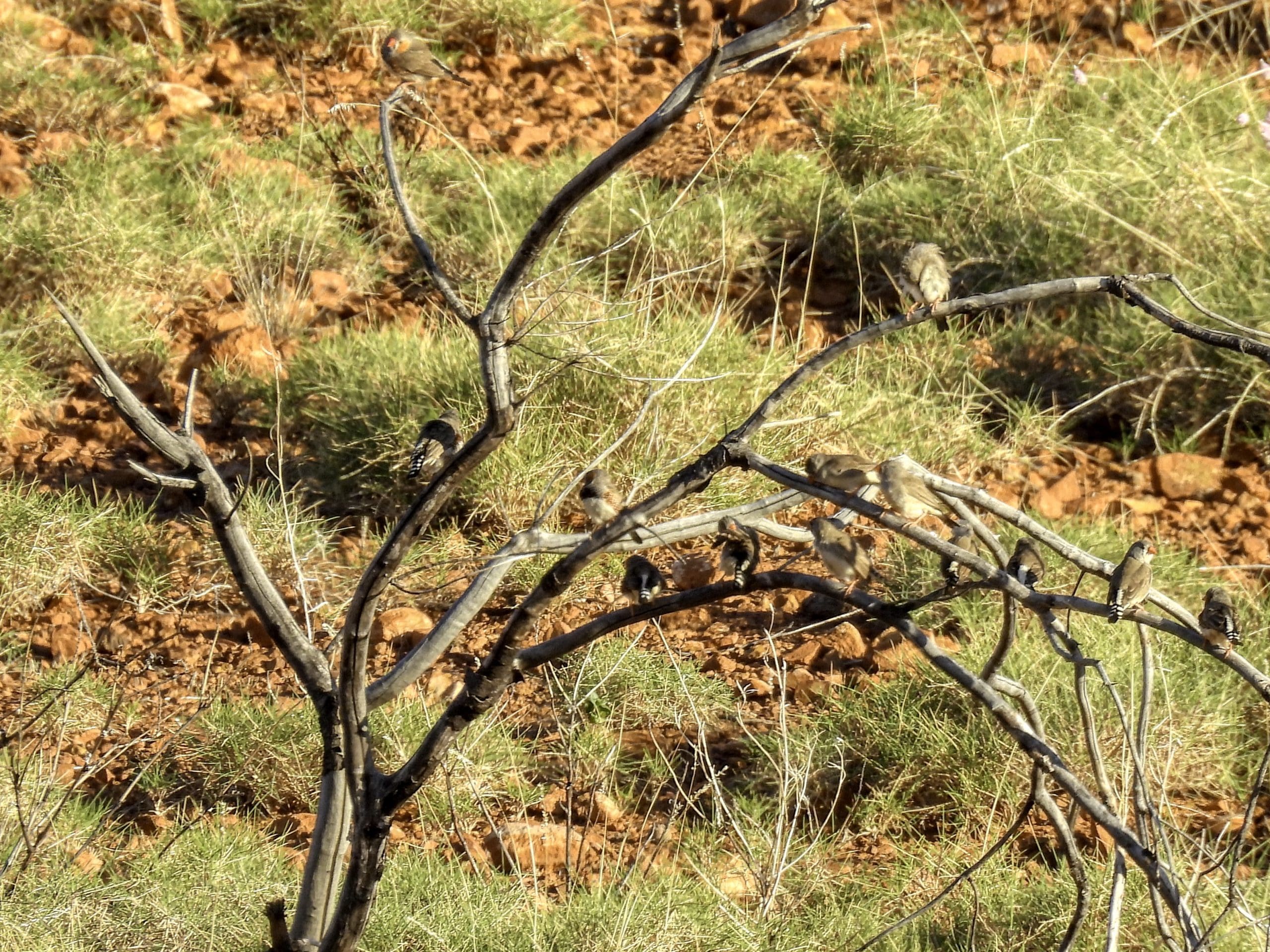
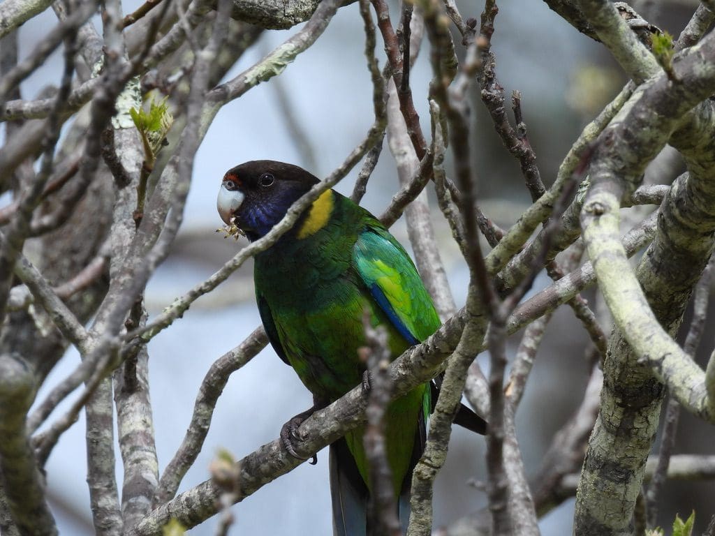
A total of 102 species of birds identified throughout the trip. I took 2,000 photos with my Nikon Coolpix P950 plus many with my iPhone 13 Pro. (On return, I chucked out photos that were out-of-focus or ordinary. The P950 turned out to be extremely good at bird photos and I ended up throwing out only 500. The iPhone 13 Pro is excellent at plant photos and macro work.) We have been driven more than 5,000 km in our 15 day trip and have really enjoyed it. Thank you Coates and our guides Jolanda and Gane.


