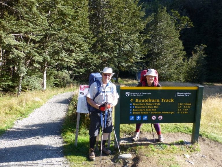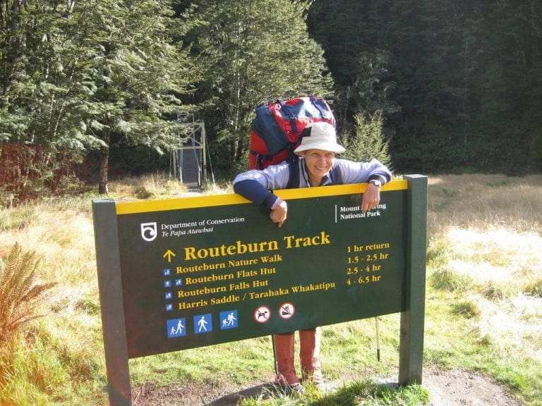
New Zealand 2014 weeks 3 and 4 – Heaphy Track – Part 2
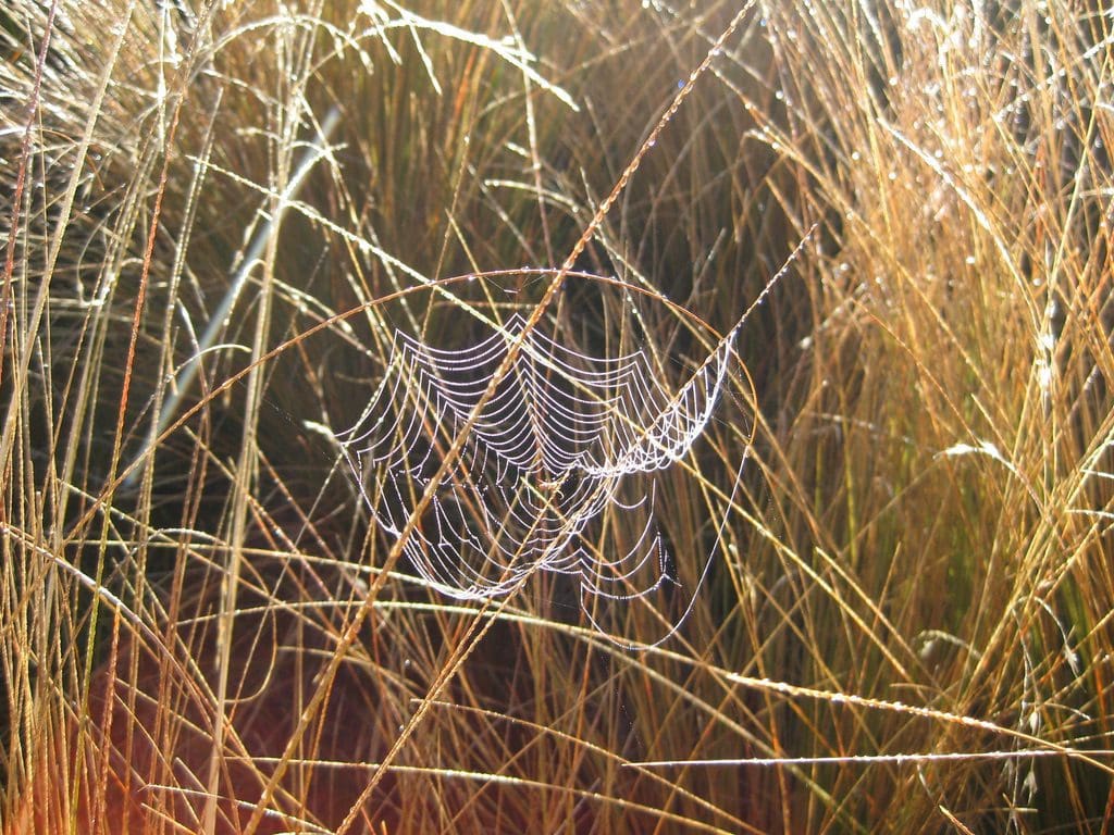
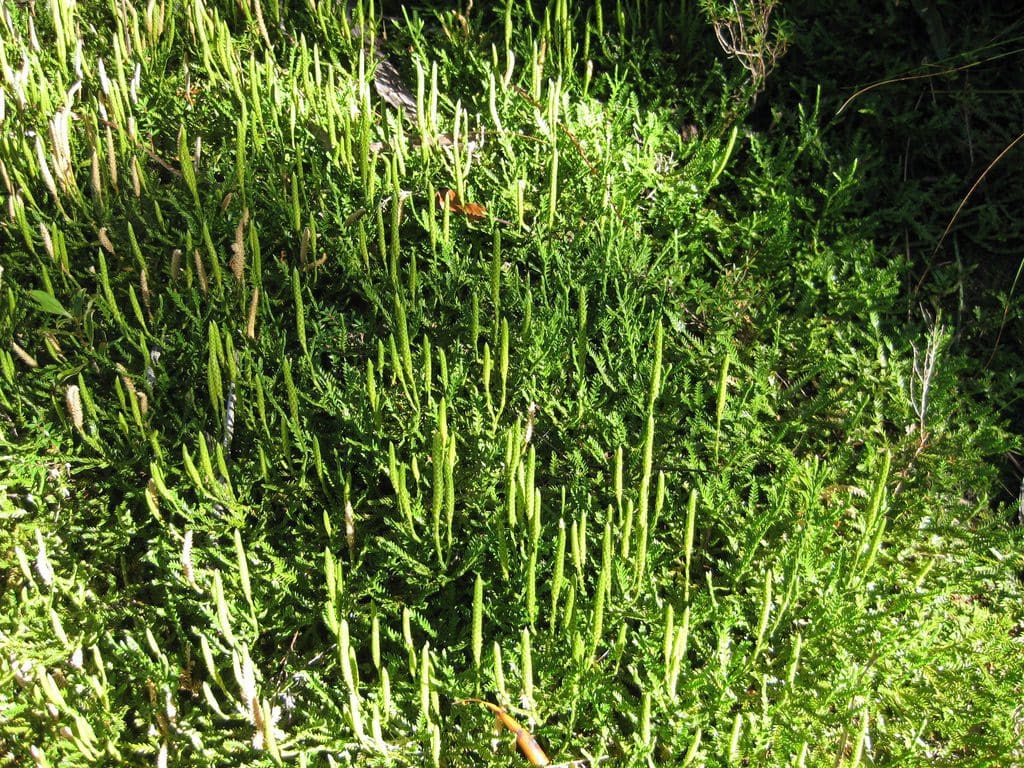
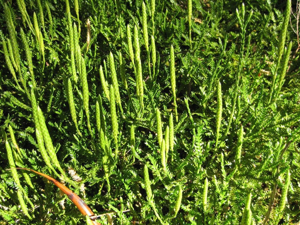
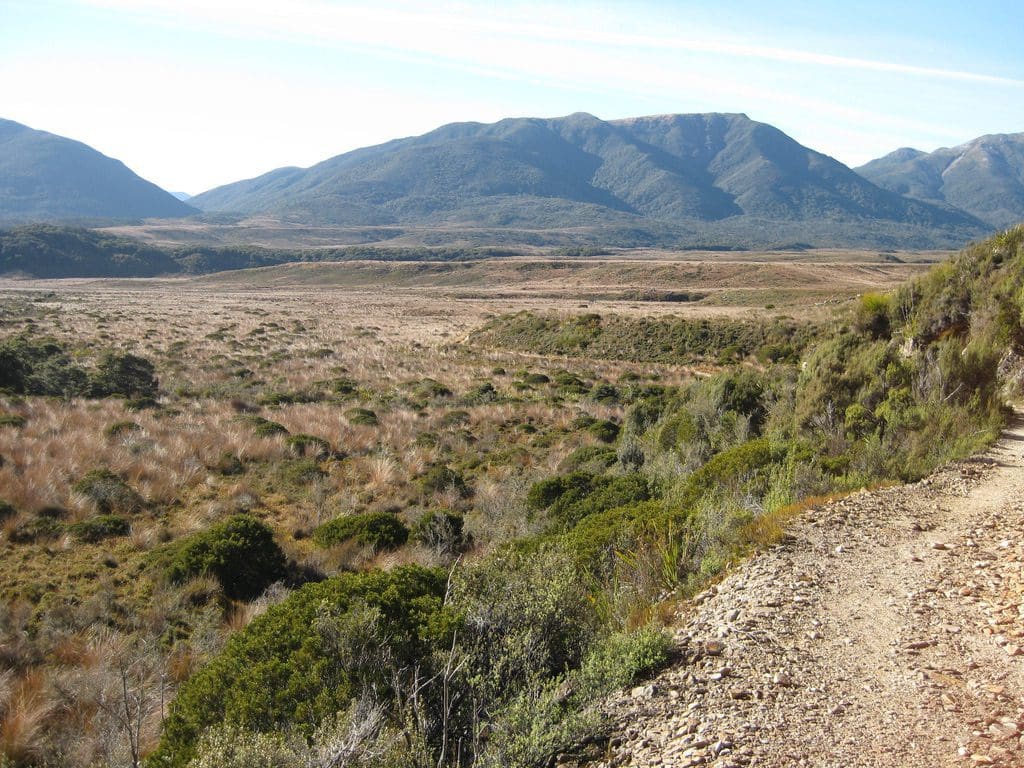
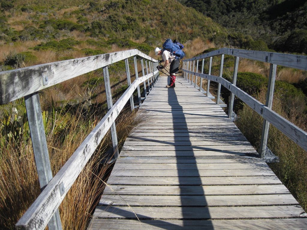
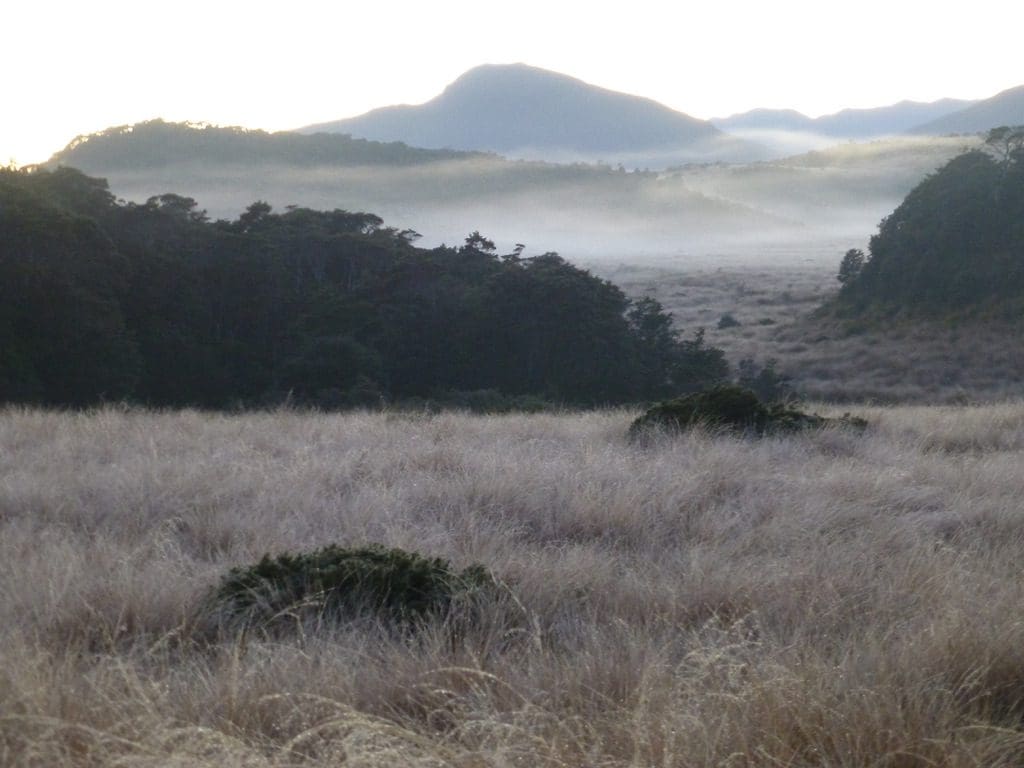
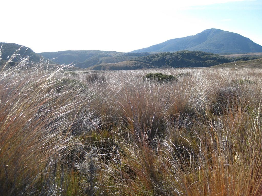
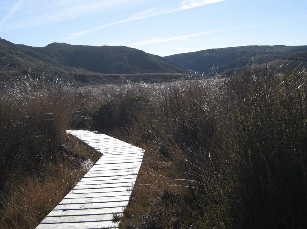
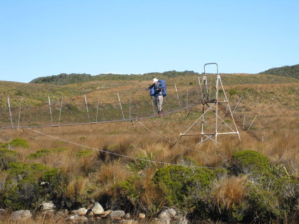
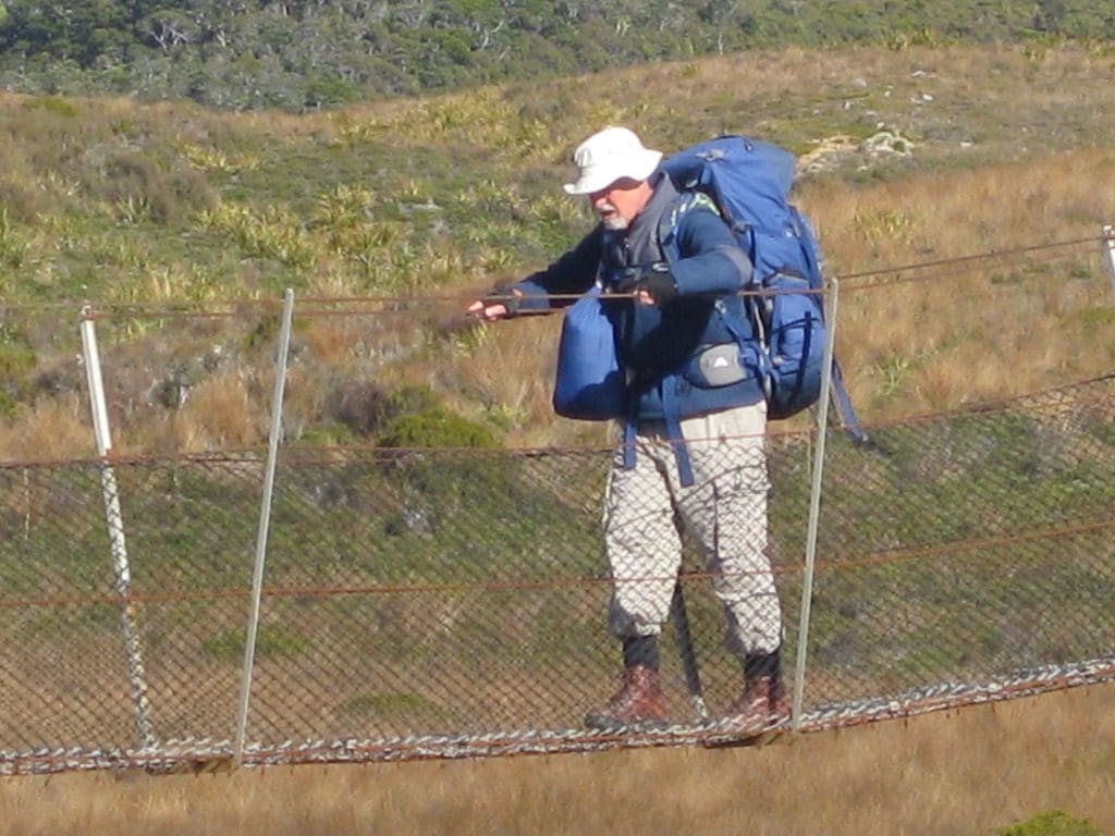
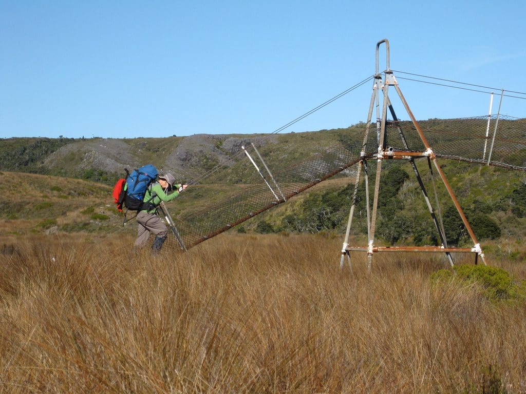
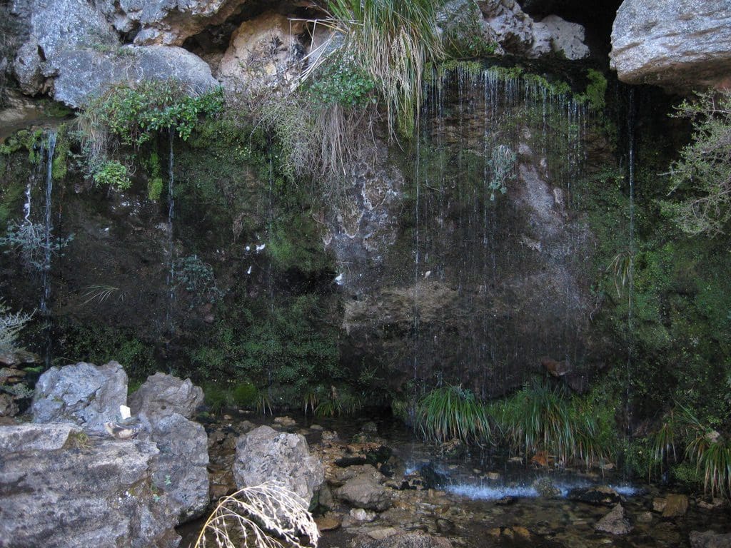
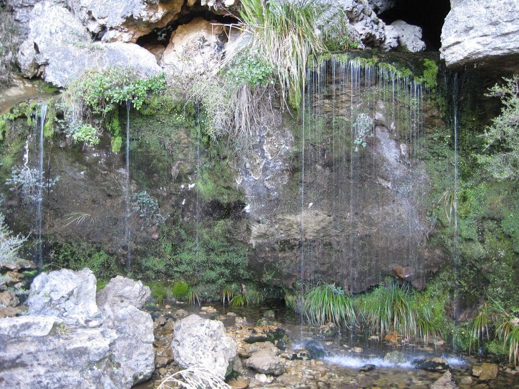
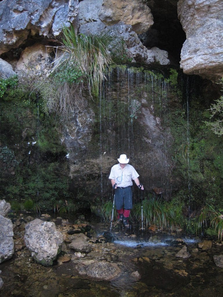
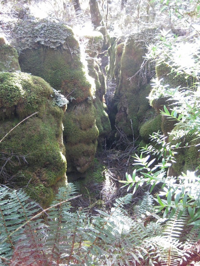
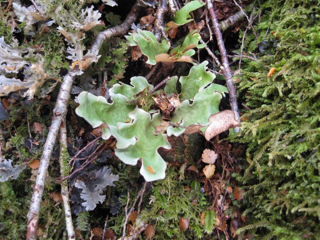
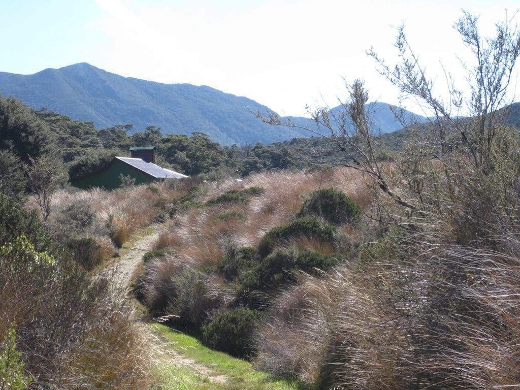
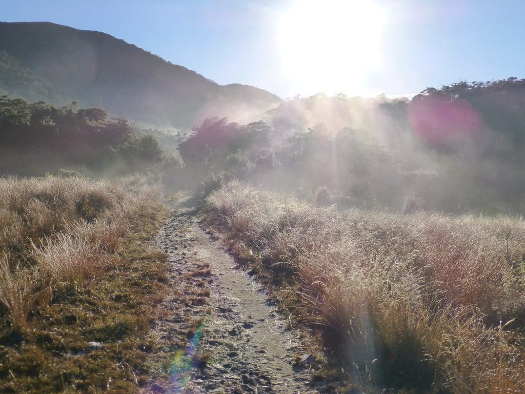
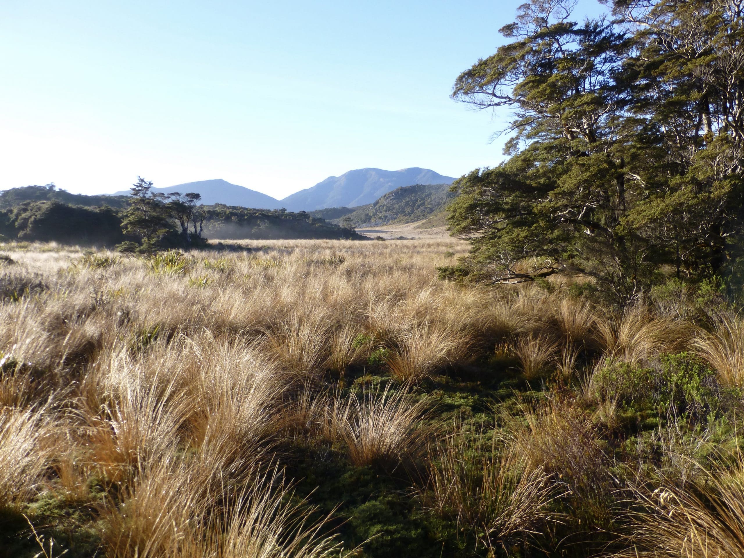
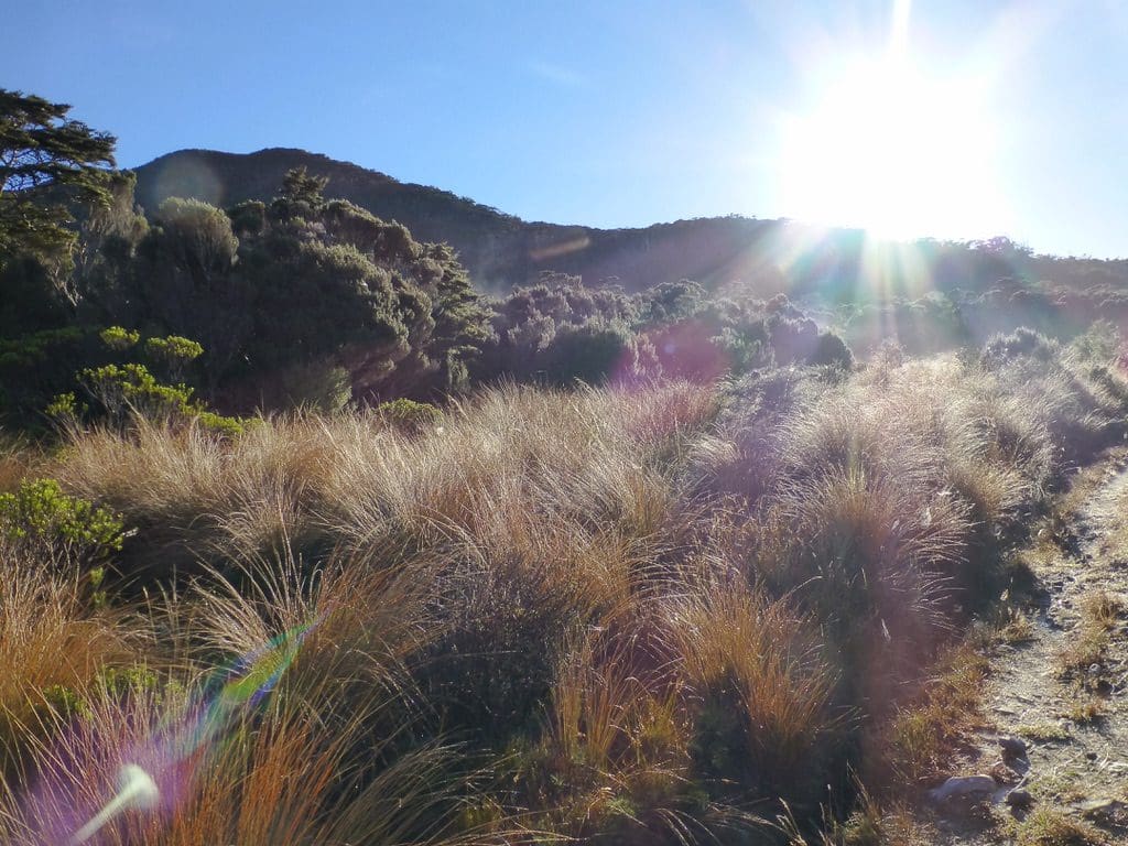
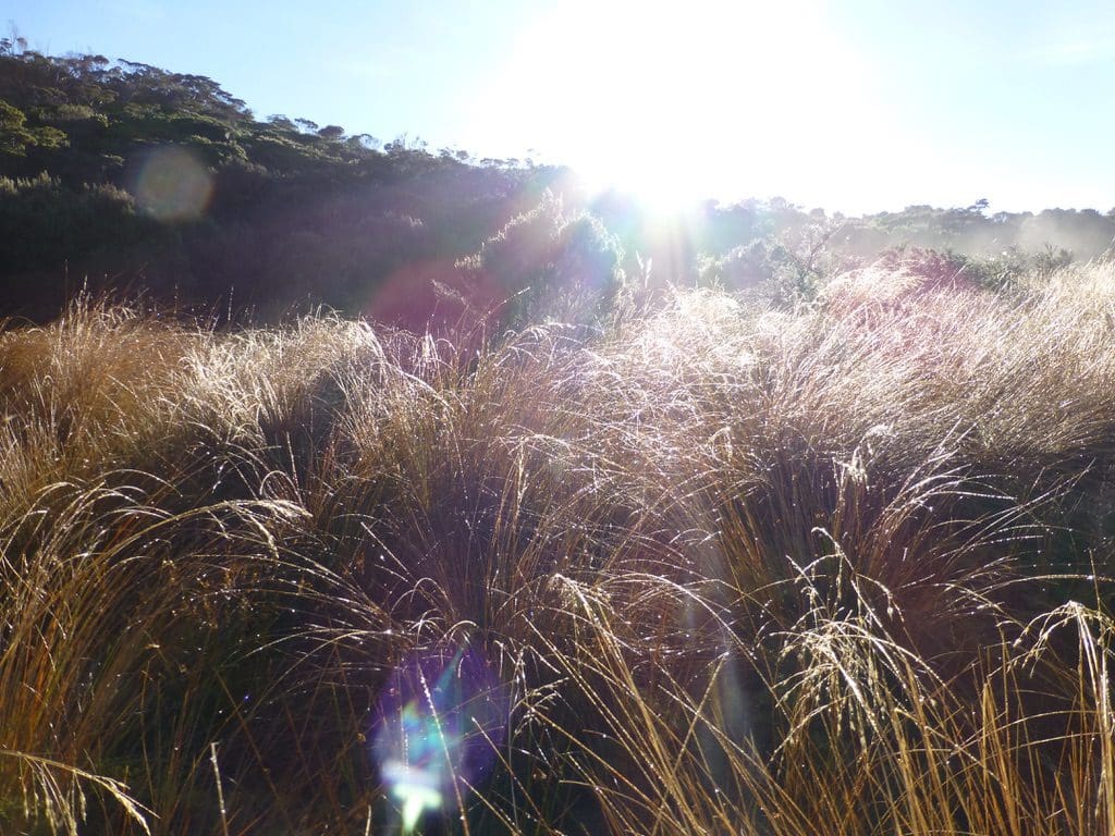
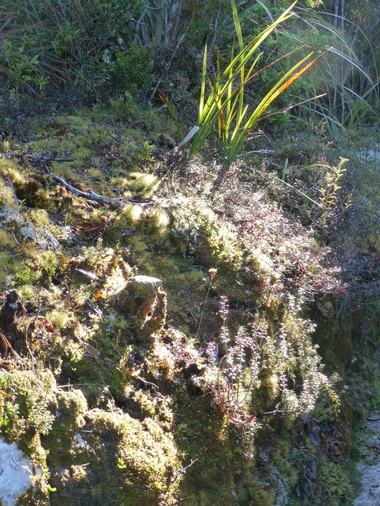
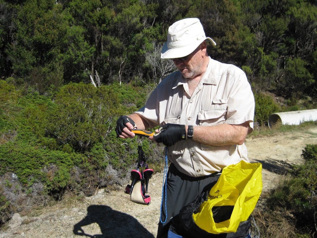
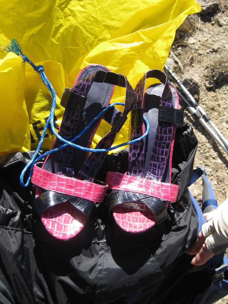
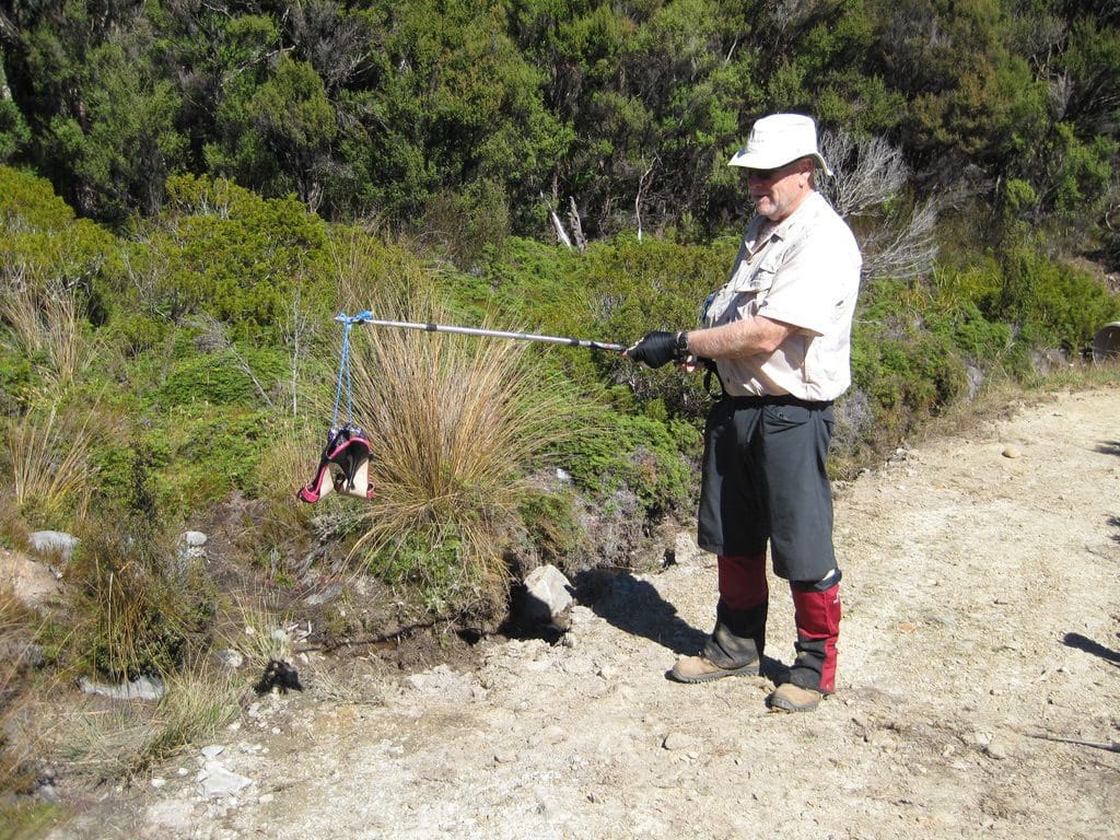
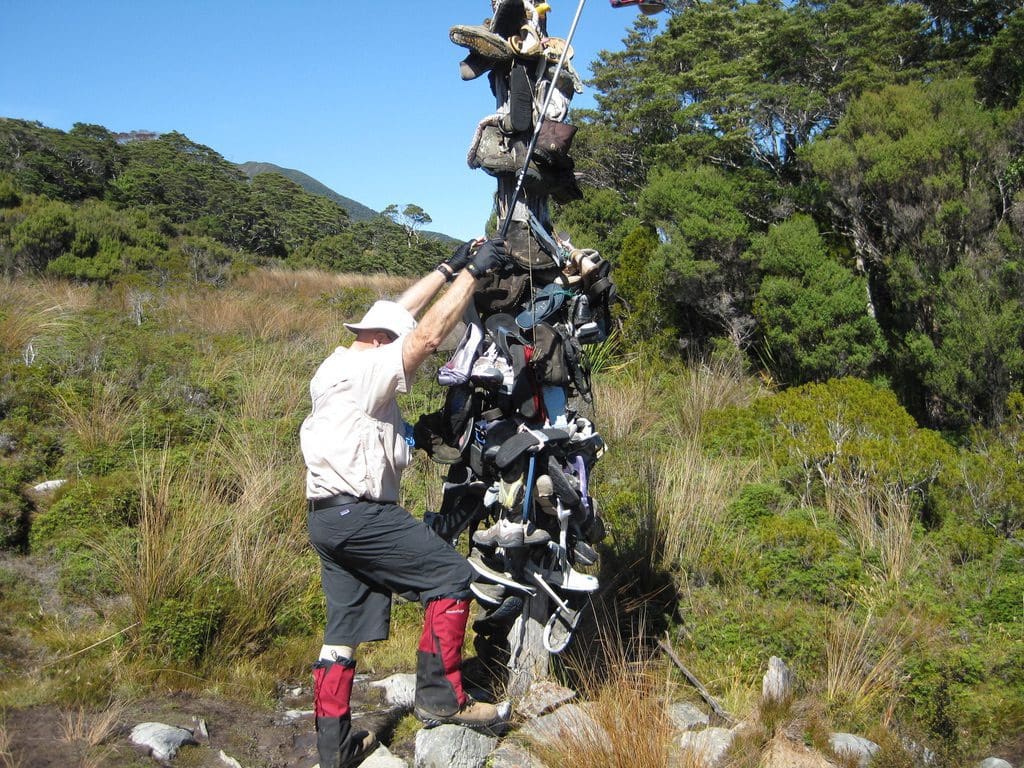
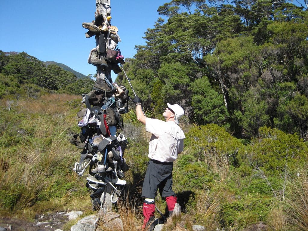
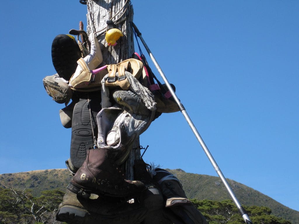
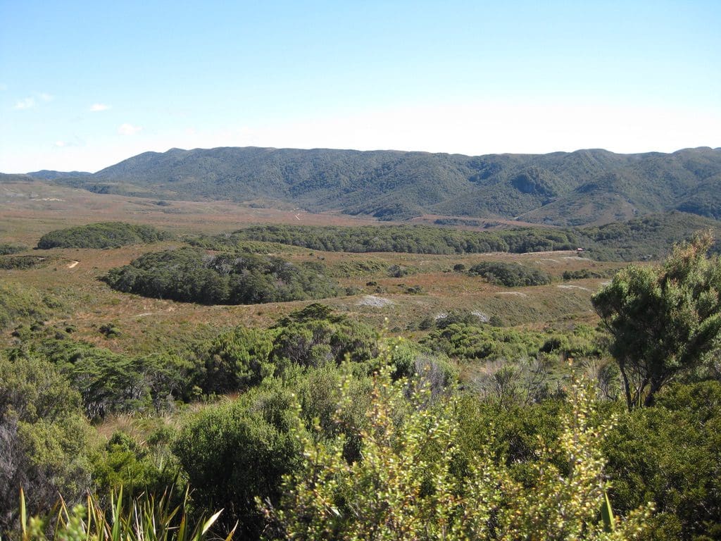
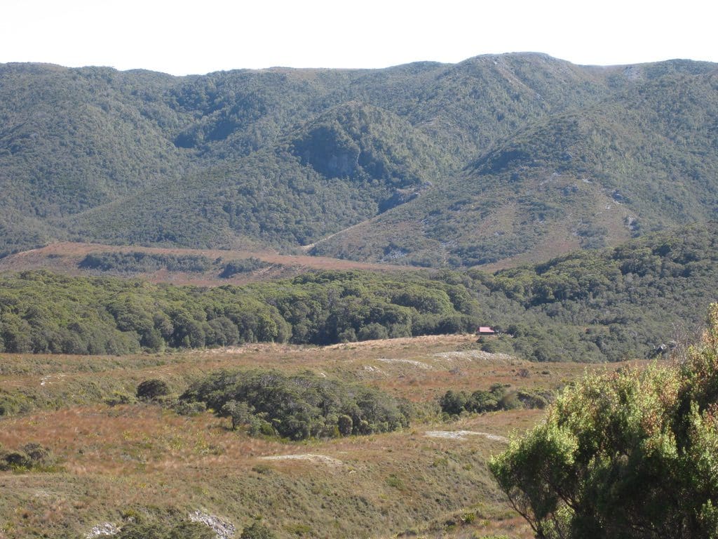
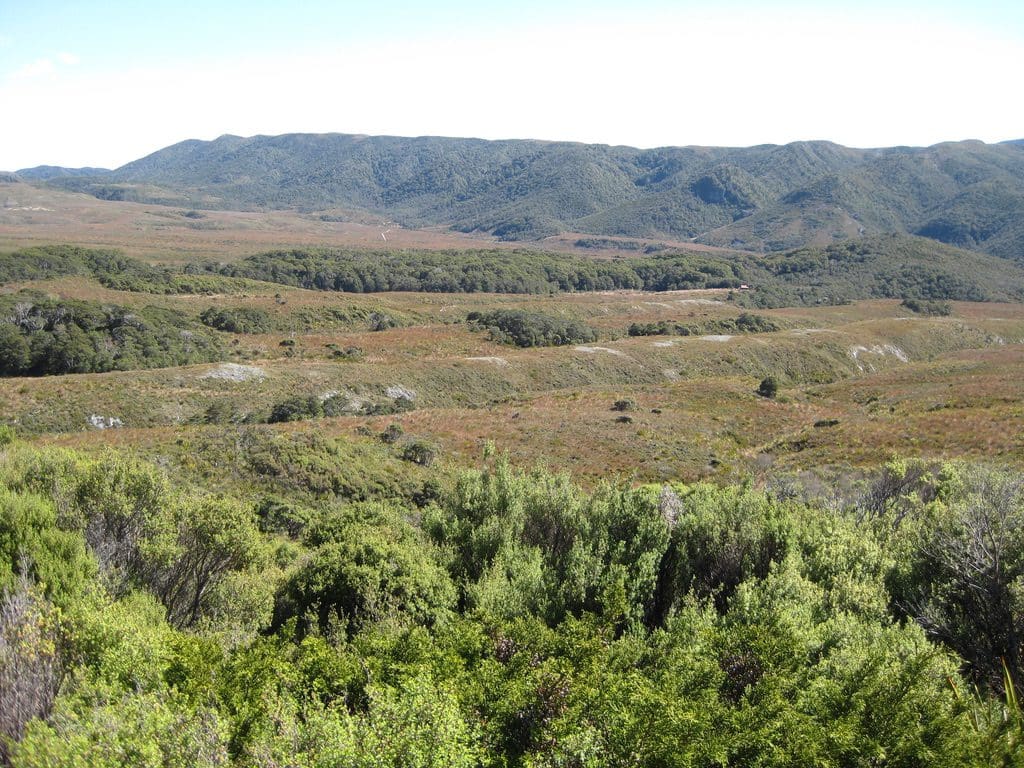
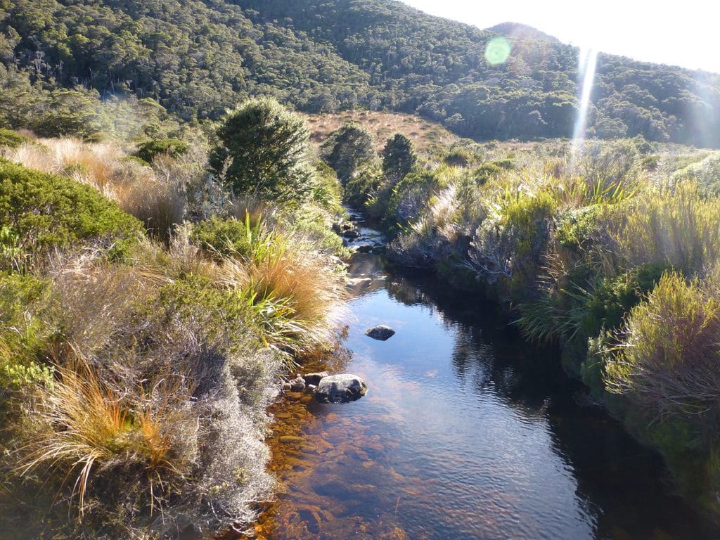
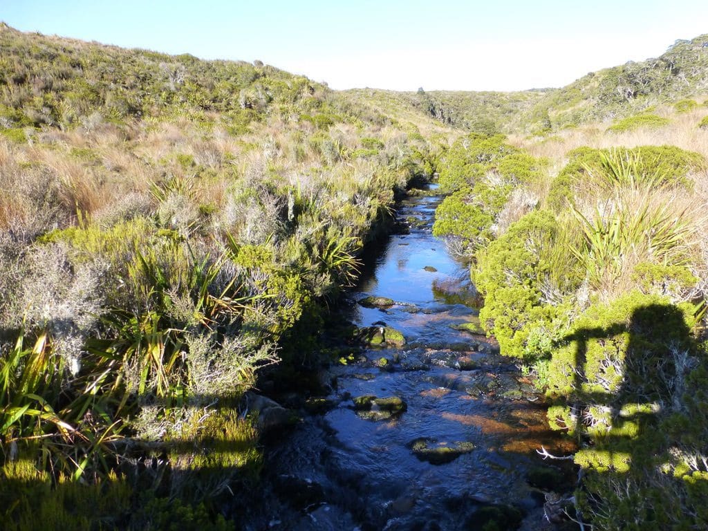
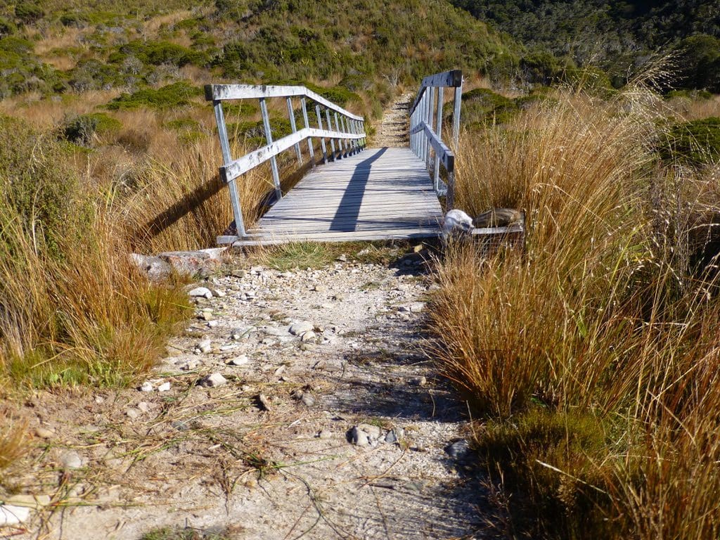
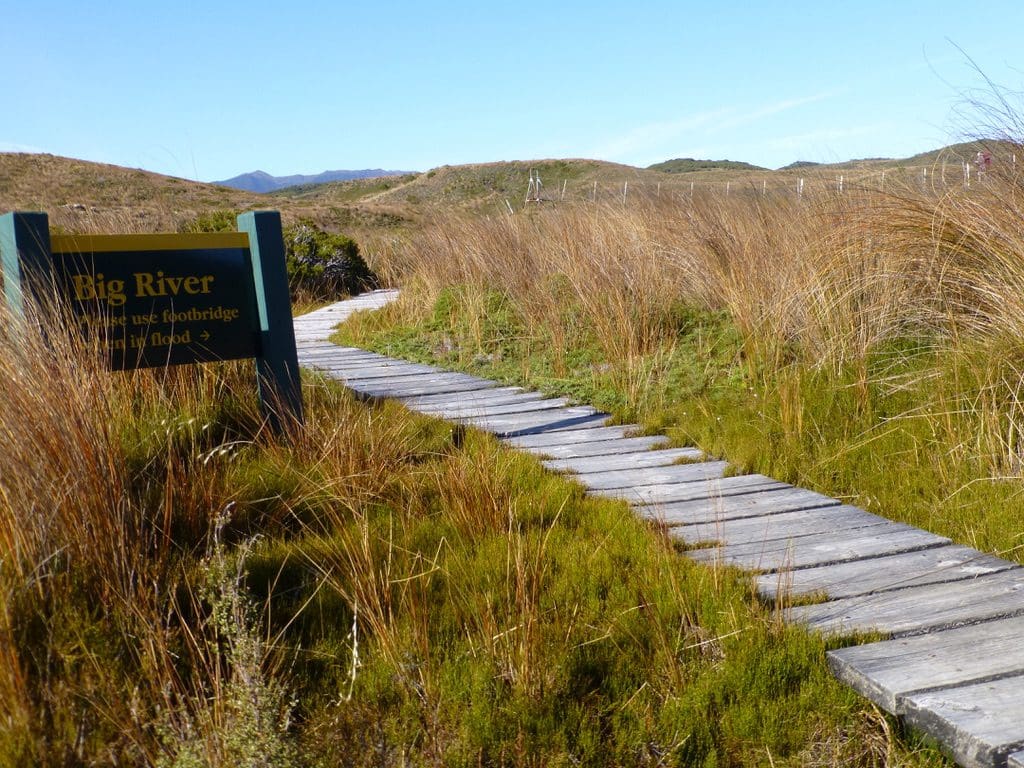
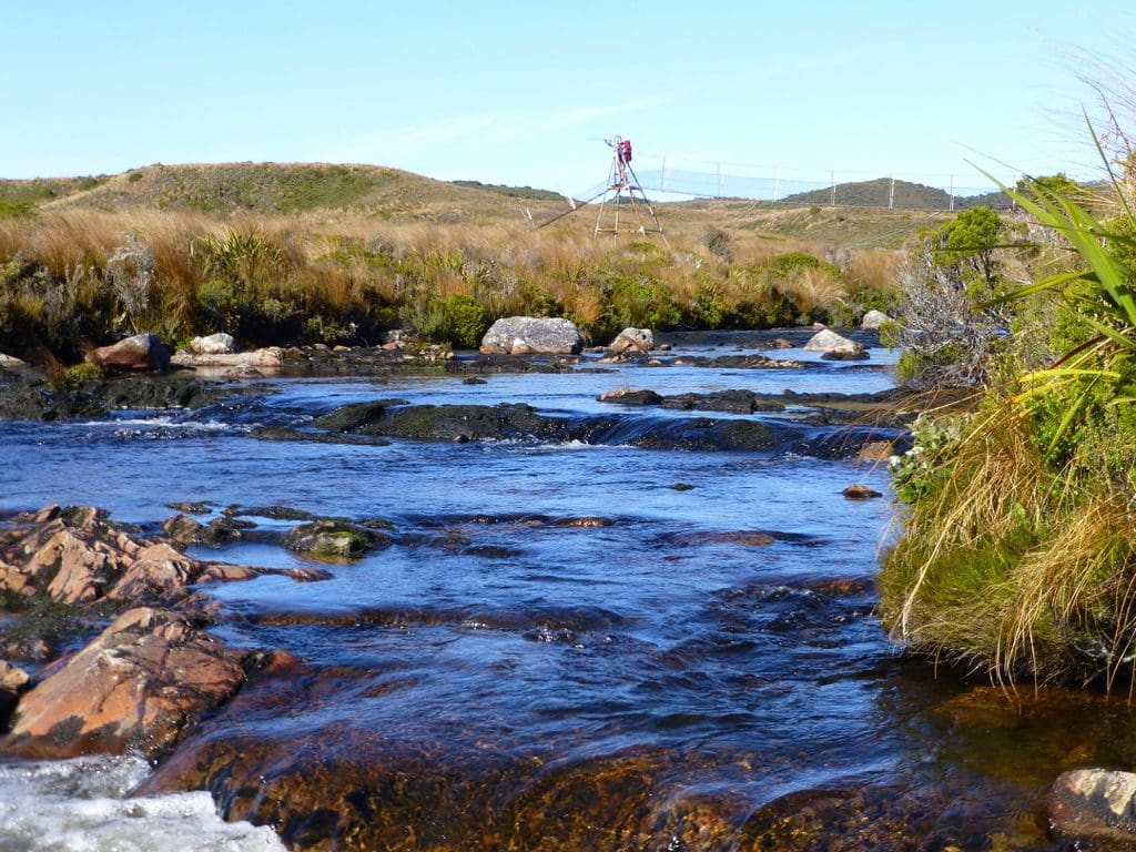
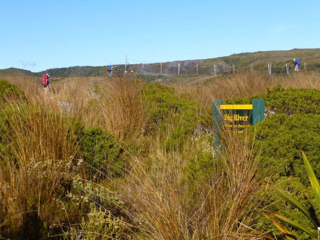
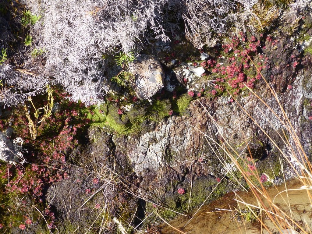
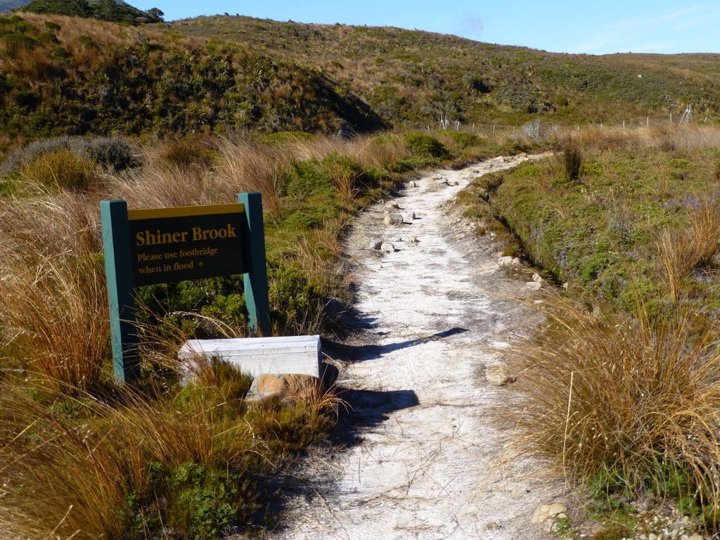
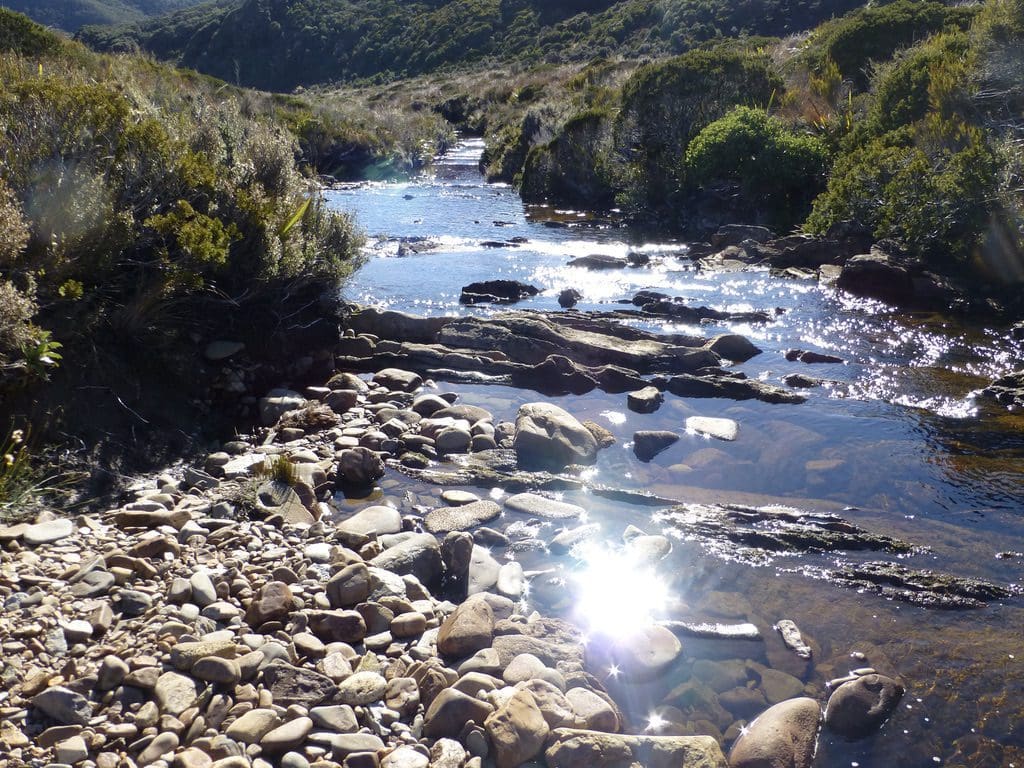
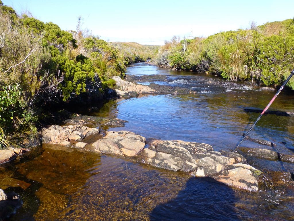
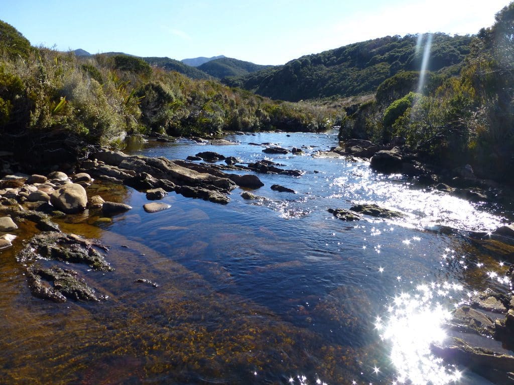
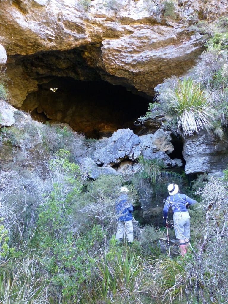
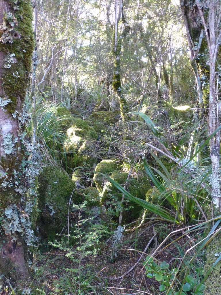
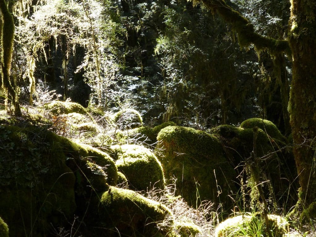
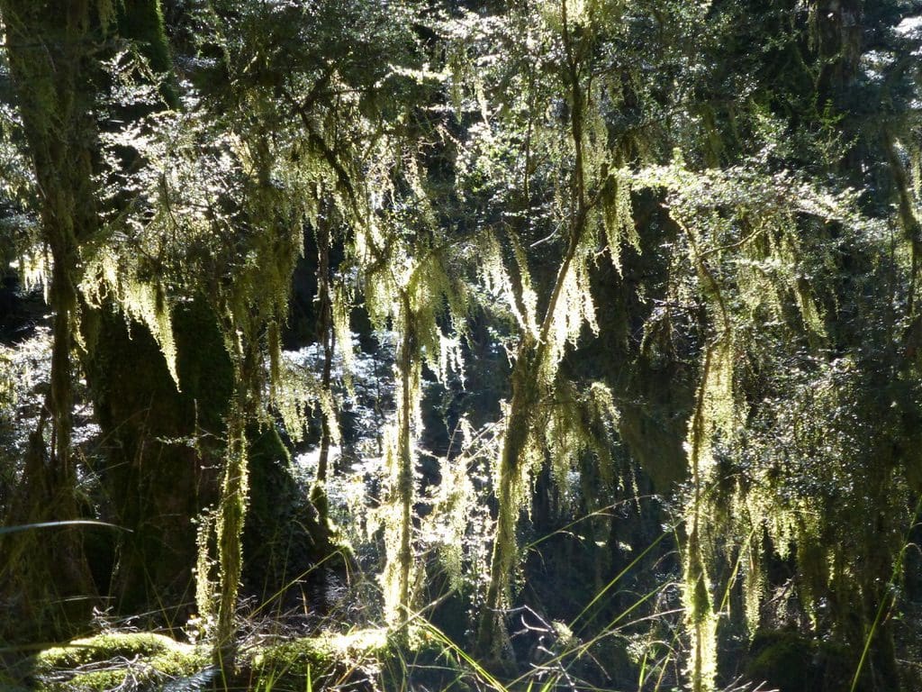
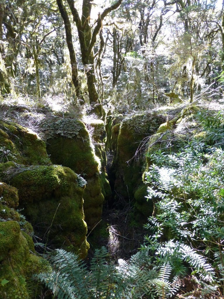
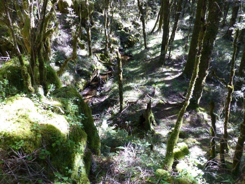
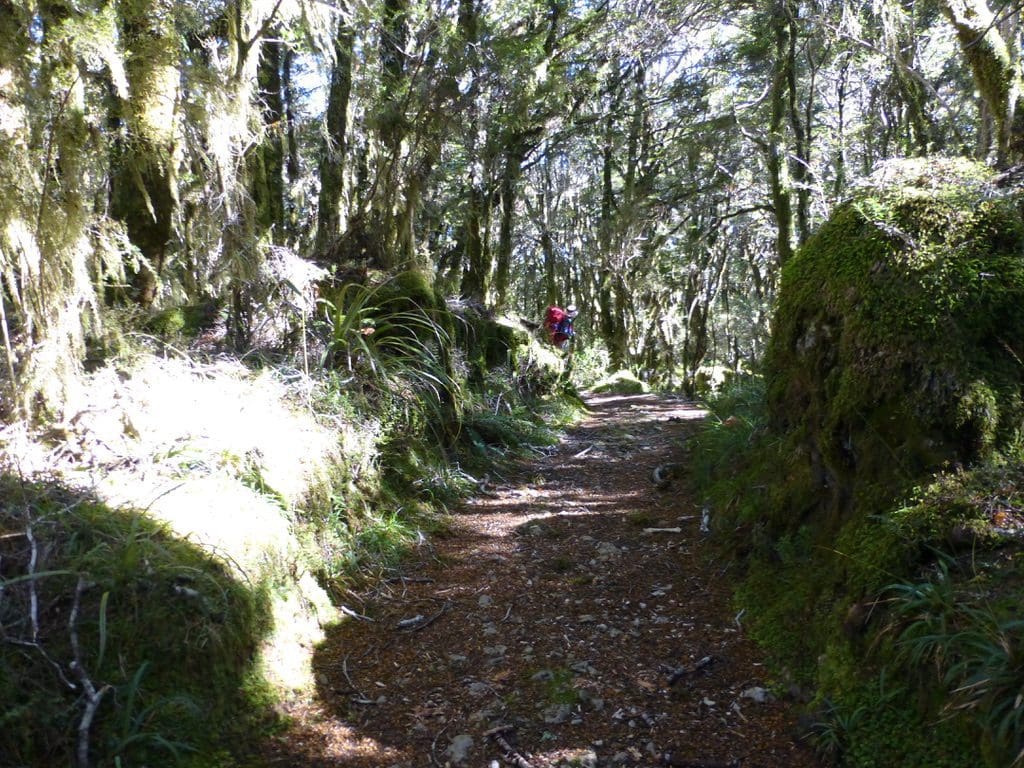
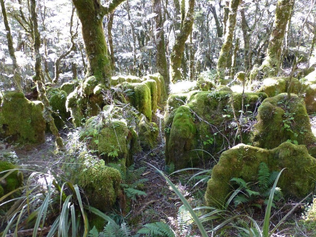
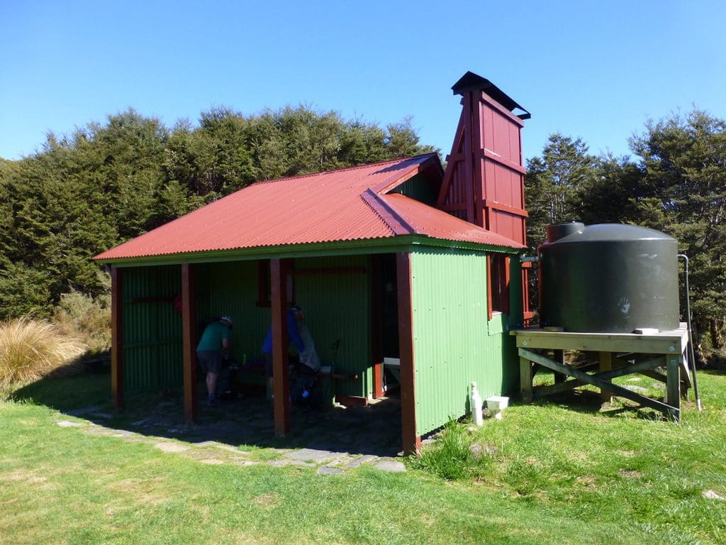
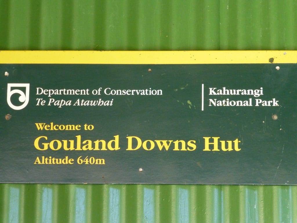
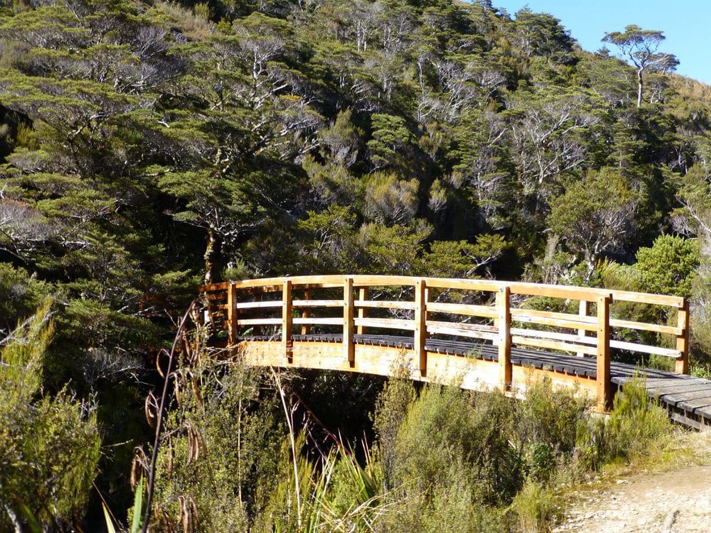
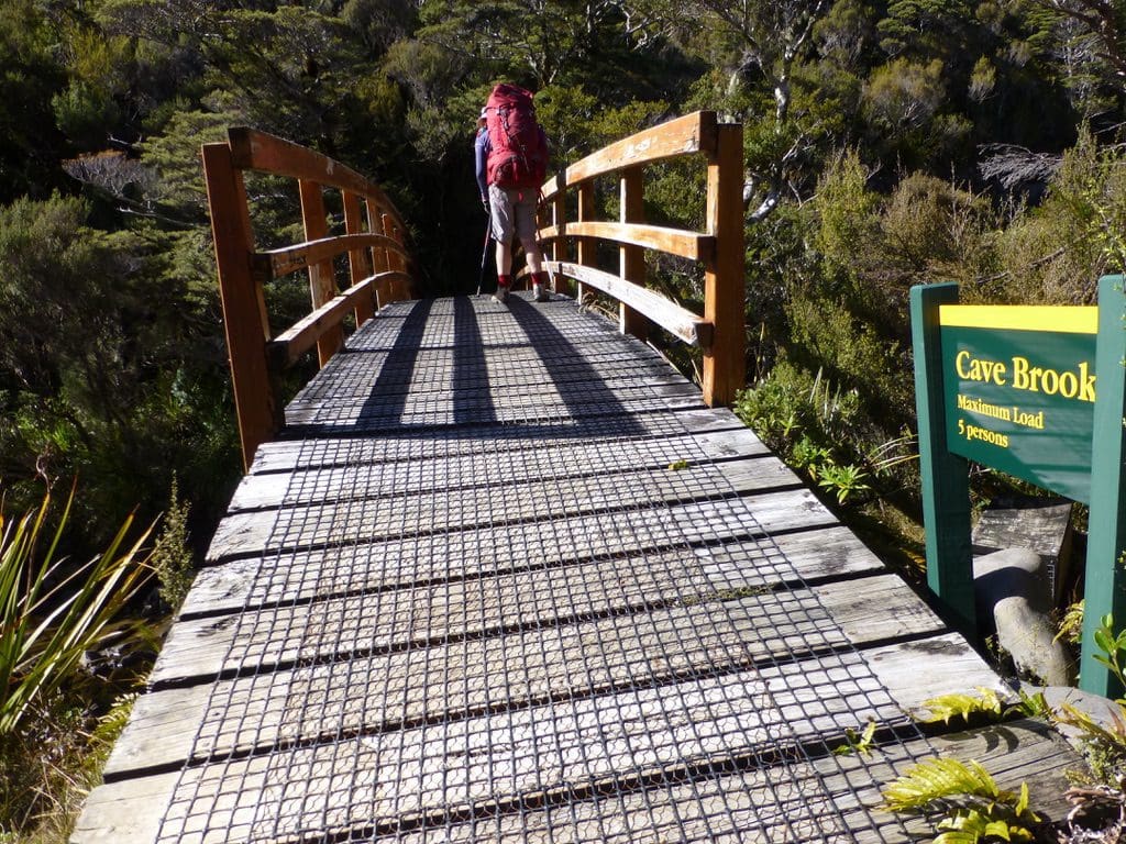
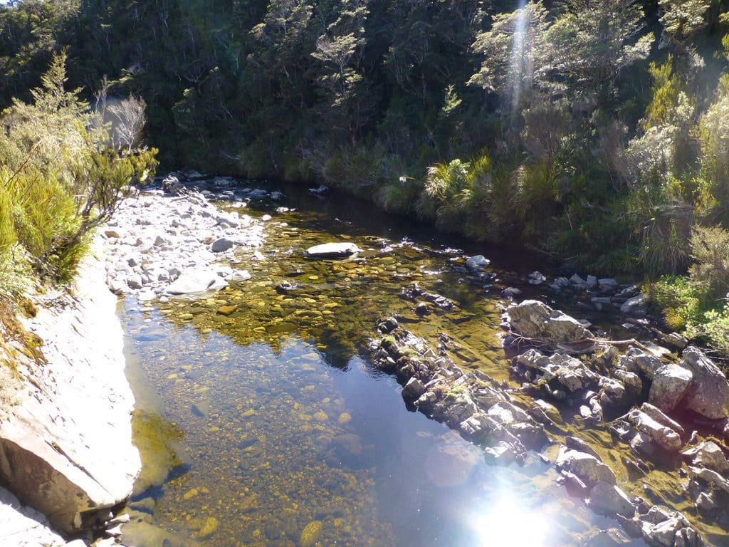
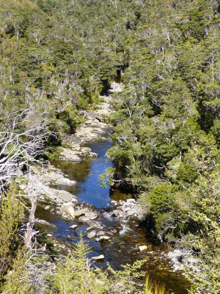
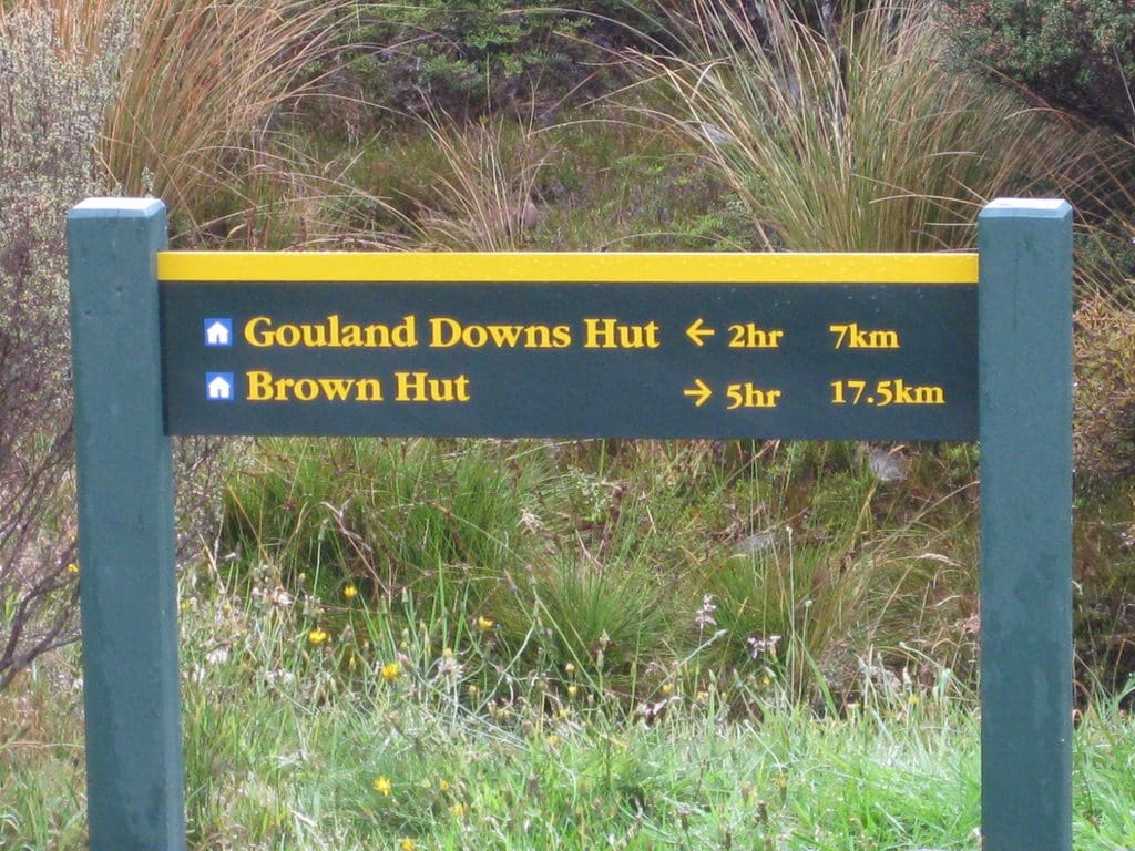
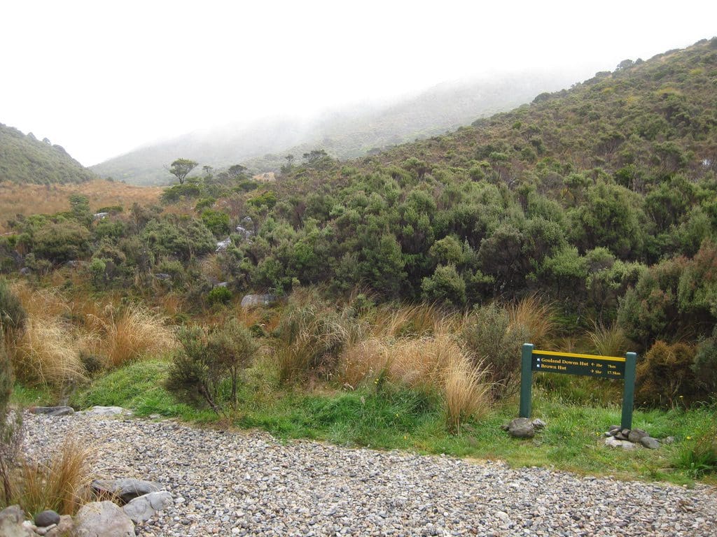
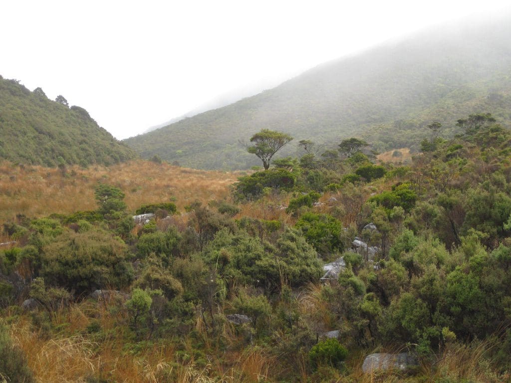
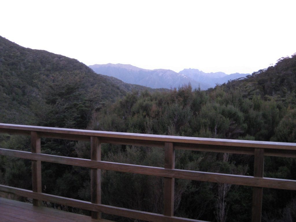
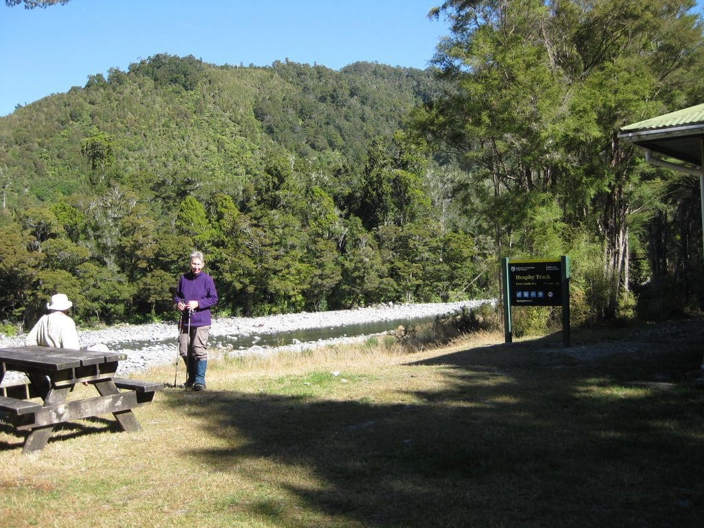
Monday 24 Mar 2014. A sparking sunny day. Almost 7 hour walk – 12 km. We really dawdled the first 3km looking at 2,000 types of moss. The track is virtually flat for the first 5km. After Weka Creek, the downs proper begin, crossing Big River (fordable – so I did) until Shiner Brook (also fordable). It then enters the Enchanted Forest – which is a limestone knoll – heavily sliced up by water – multiple caves. The name gives it away. Immediately after Enchanted Forest, we reached Gouland Downs Hut – which had a crowd of 14 spread all over the picnic table outside. Noisy as starlings. We checked out the inside to bring back memories. When we were here 2 years ago in 2012, we had a wet, smokey night in that hut. After Gouland Downs Hut, the track drops to cross Cave Brook over a delightful bridge over a beautiful river. Signs of flood water way above the bridge. From there we climbed back up to the downs around several corners to the shoe tree. A bit of a ceremony to put the shoes I had brought at Vinnies in Penno, carried along the track to put on the shoe tree. A bit sad really. They are very pretty – hand made pink & purple shoes. I hope they are happy there. Unfortunately for me, my camera gave out – revealing the hole in my planning – I forgot my camera charger cord. I have a full spare battery pack but no way to connect that to the camera battery. Gouland Downs is covered with red tussock grass. It was not cleared of trees – though an attempt was made to run cattle in the 1800s. Gouland Downs is really a bog that soaks up water and runs it away in steeply sided rivers.
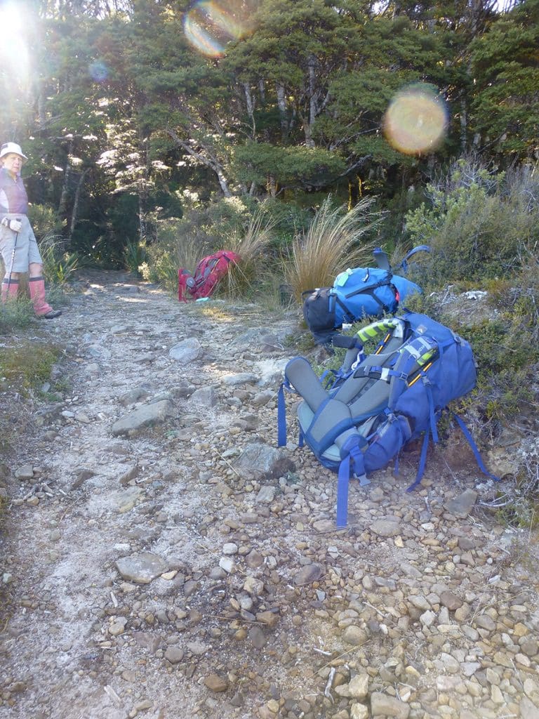
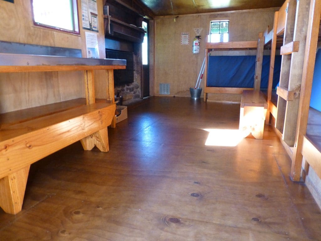
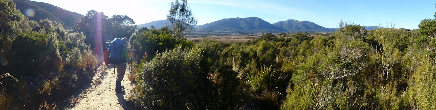
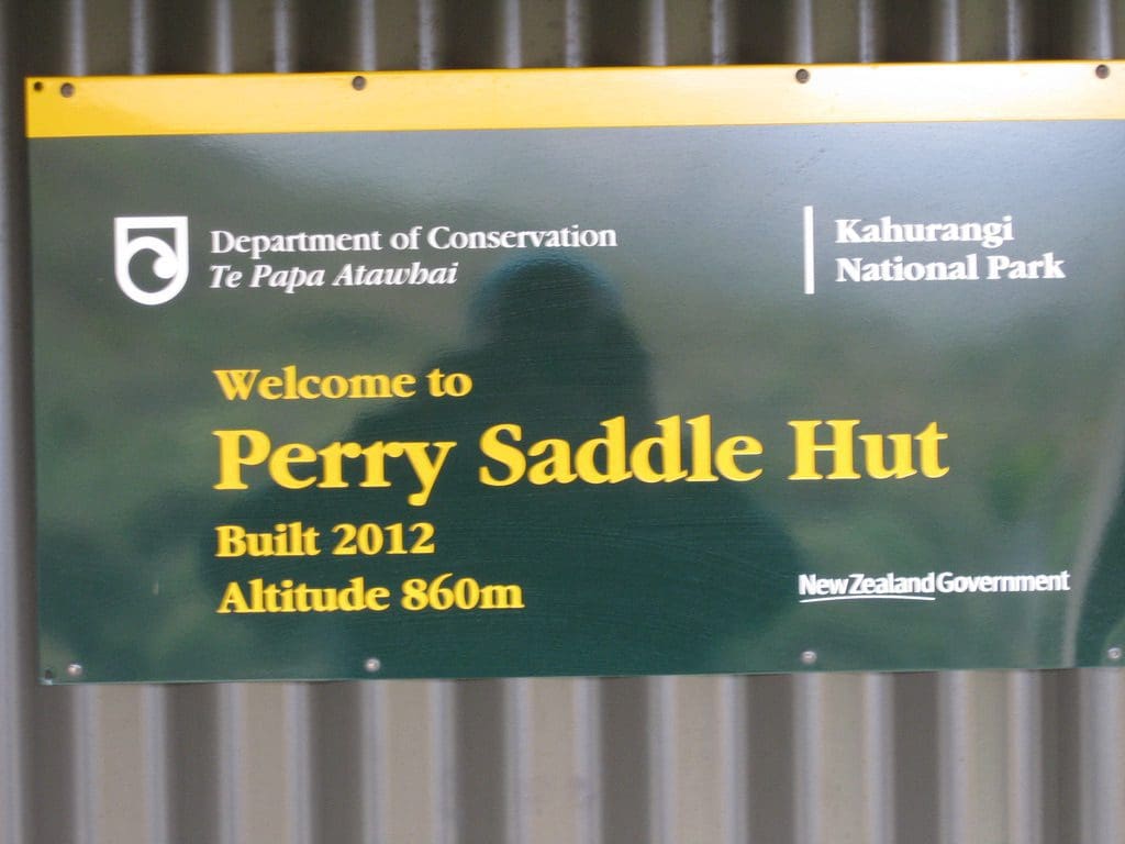
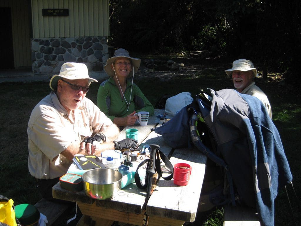
From Cave Brook, the track climbs steadily over about 7 km to gain 250m from Cave Brook to Perry Saddle Hut at 860m. Once the track enters the forest along there, I think it is just a bit of aslog up hill. From Gouland Downs, we were on steeply dipping slate -which makes a very uneven track with lots of angles and loose stones. The Downs has been declared spectacular – that means that all of the walk today gets a big tick & the day declared to be ‘one of the nicest days’. As they all have been so declared so far. We had a full hut last night. The hut capacity is 28 and we had 23. 2 slept in the kitchen. (The two who could not light the gas fire or do up their sleeping bags.) Tow very interesting NZs sat with us for the evening – salt of the earth NZs – done a lot, experienced, practical. The big Tour group (13) is (as always) very self-contained – talk just within the group – inconsiderate of everyone else. Very loud. Several kiwis calling just west of the hut for a bit of the night – mainly the male & occasionally the female.
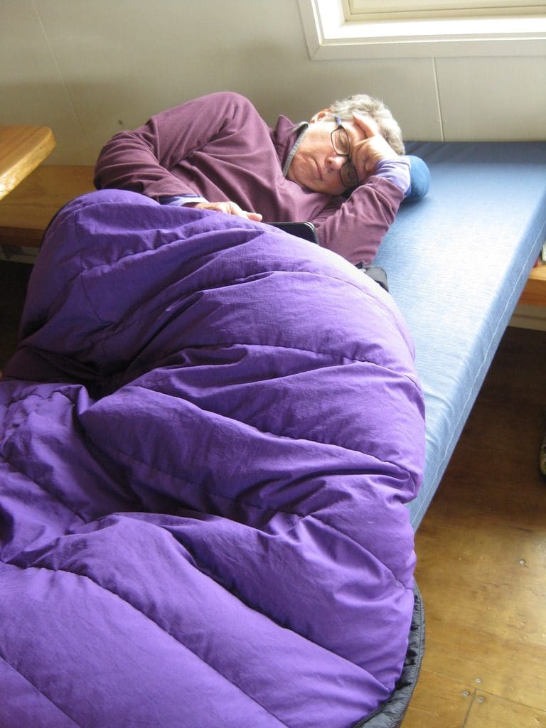
Using the sleeping bag as a quilt. Almost everyone zipps their sleeping bag up and then fights with all night. After many years of that, I decided, on a whim to see what it would be like as a quilt. I think we were camping in the snow at the time. I am now convinced that it is warmer as a quilt than as a cocoon. It does require having good insulation under (a good sleeping mat does the trick). In a tent, with sides to hold the edges, it is very convenient. Certainly, it gives you more leg room and you don’t fight with it all night. On a narrow bunk, it can try to drop off the sides and takes a bit of tweaking. I can say that I have not been cold using the sleeping bag as a quilt. On very cold nights, I add, in order of coldness – a cap for my bald head, socks, thermal bottoms for my legs, a light thermal top. People around me, in their zipped sleeping bags have a full set of outside clothes on and still say they are cold.
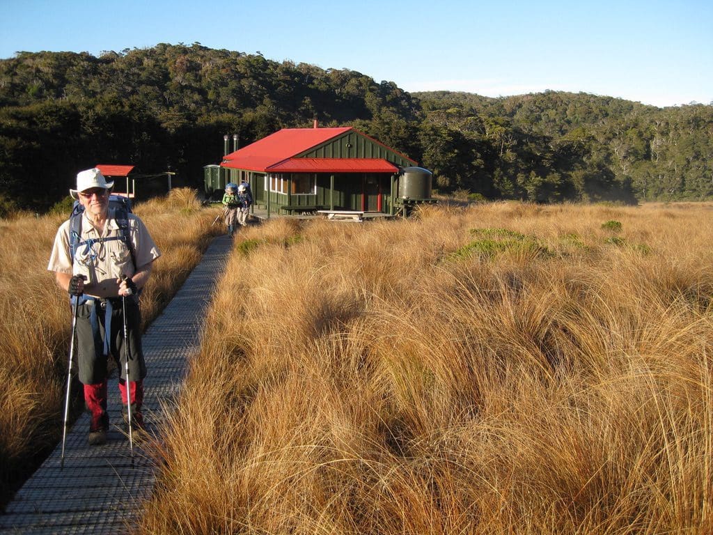
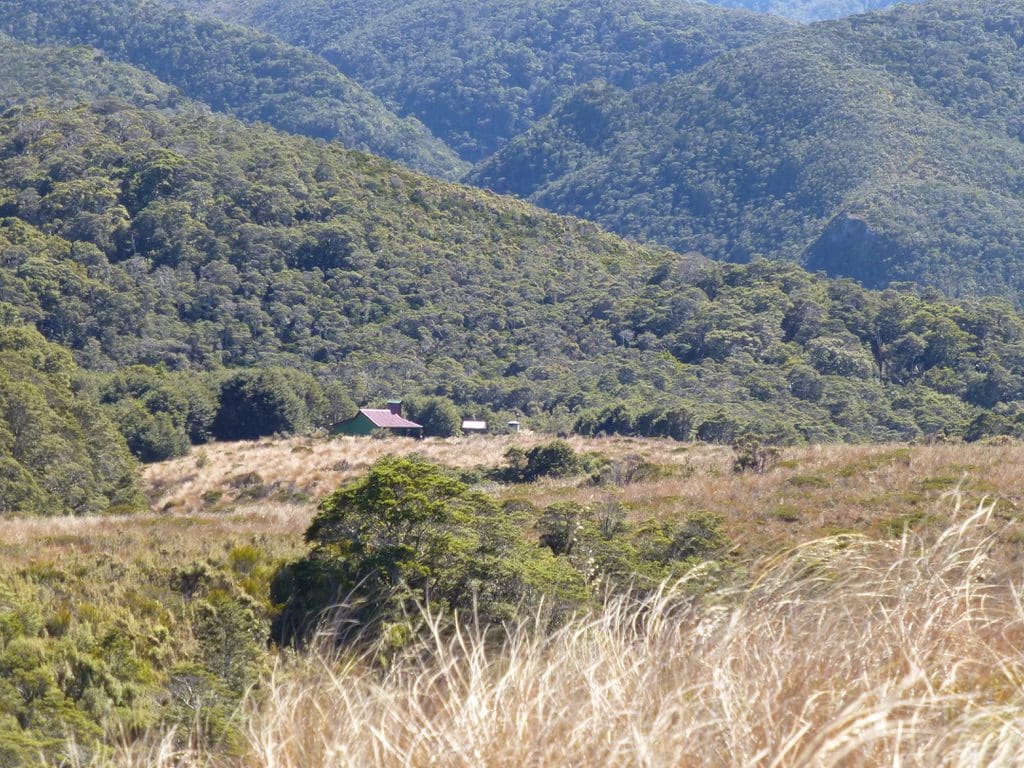
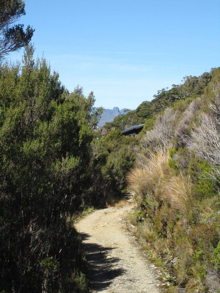
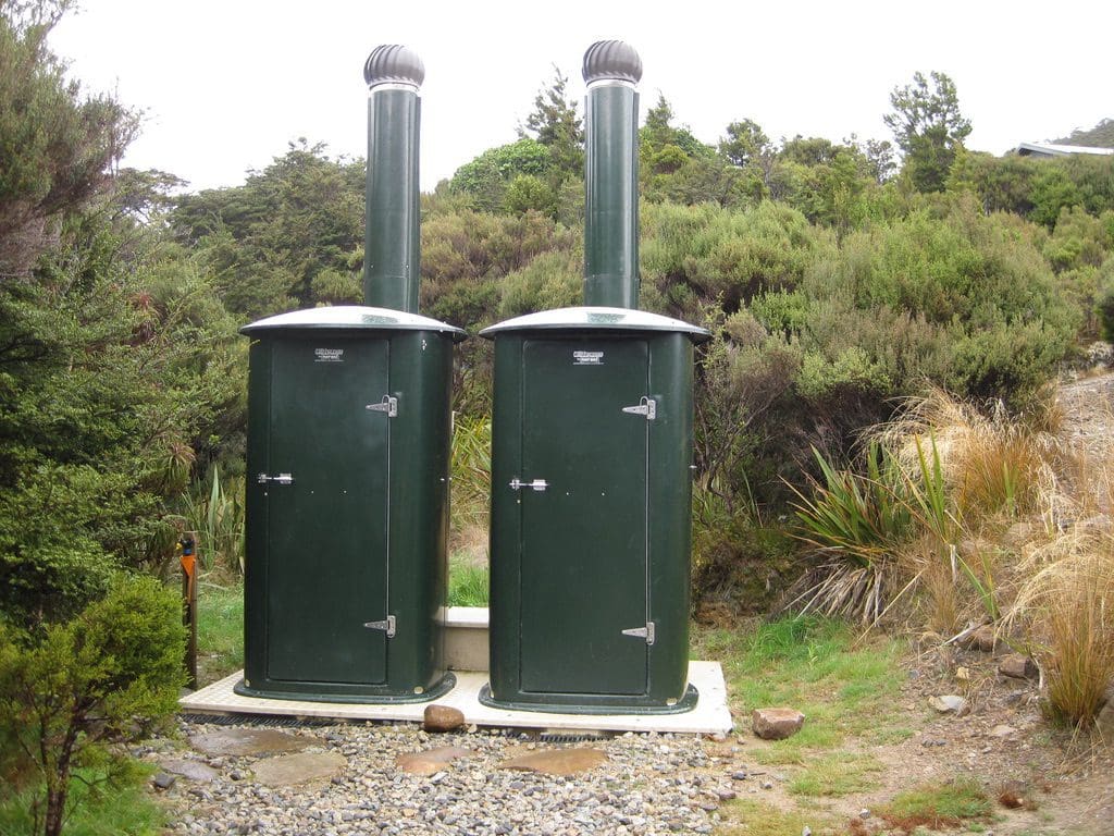
Tuesday 25 Mar 2014. Day off. Light rain & light winds early. The experienced NZs got away at 8am. The big group has an easy day, so away later. The Group leader in a quiet aside said that people over 50 are usually well prepared & even fit – younger 20-40 can be very unprepared with respect to equipment and fitness – with many complaints about climbing the first hill. a cloudy day today. At this altitude (860m), we are in the cloud – which is being blown very strongly past us by the wind. Not rain as such – just fast moving cloud. It will still get you wet if you are outside in it. An here, at Perry saddle Hut, you need to go outside in it. The toilets are a good 30m away outside. Good – because it lets you feel the wind & cloud, bad because you get wet-ish. Again, this is a lovely hut in a beautiful place, perched in a protected part of this saddle. The saddle is a water divide – east & NW. Rain heavier during the morning. Meticulous Rager, Matt, came in several times to check, write weather on the board – clean, check, chat. A very nice genuine fellow – a great PR fellow. All of the trac work – 3 men working at each end – to upgrade the track, build new bridge, build new huts – helps bring mountain bikes in the winter months. However, it also brings in the guided tours – 10 guests plus 3 guides. These are huge benefits to the local communities at each end – providing food, accommodation & transport. Spending a few $s on the tracks does come back to help the small communities around the track ends – Karamea, Collingwood, Golden Bay.
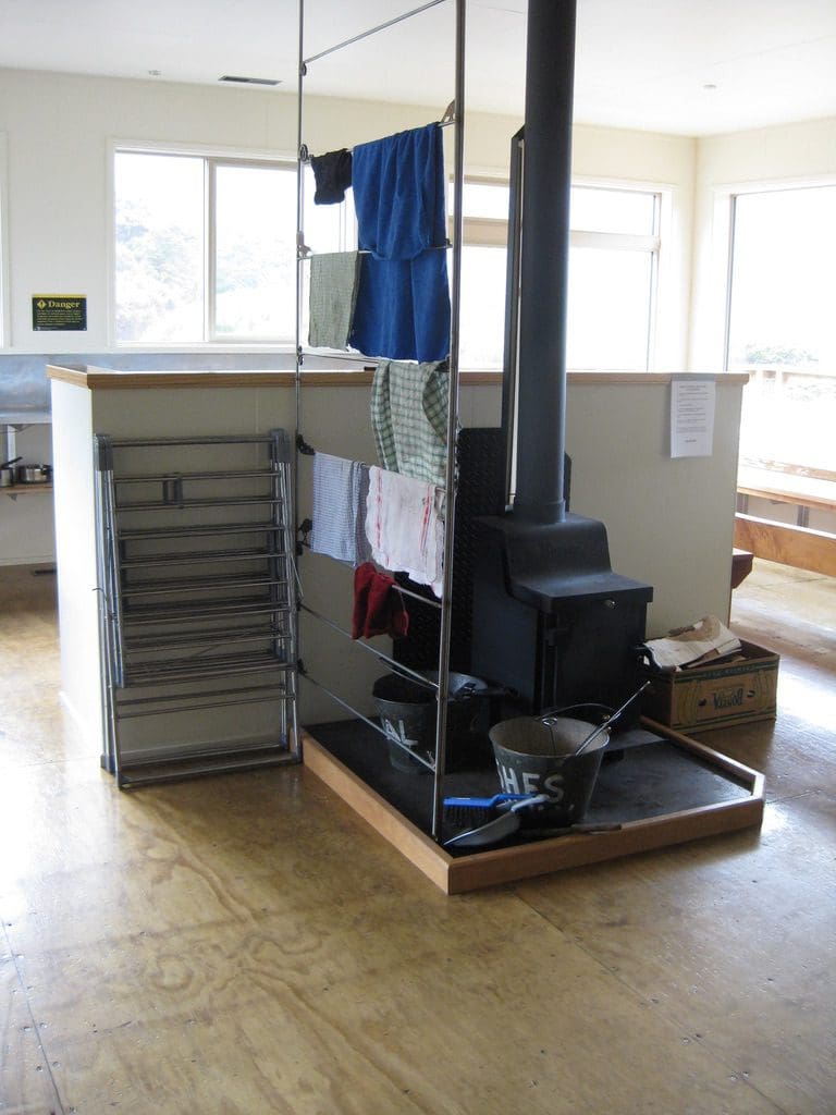
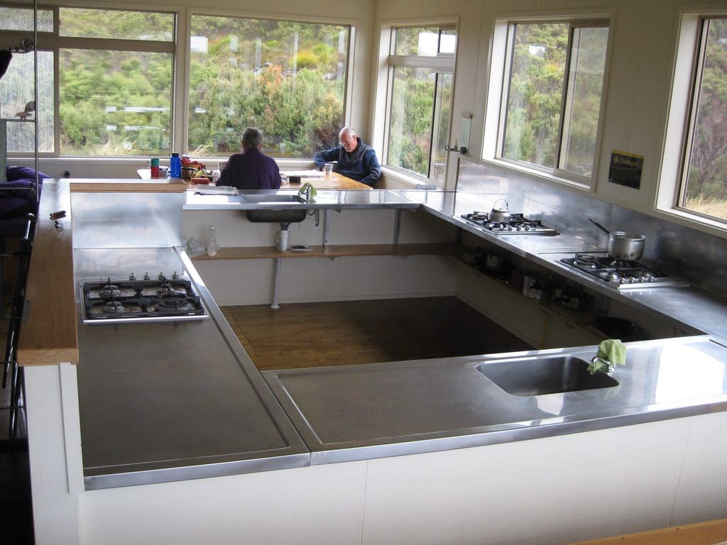
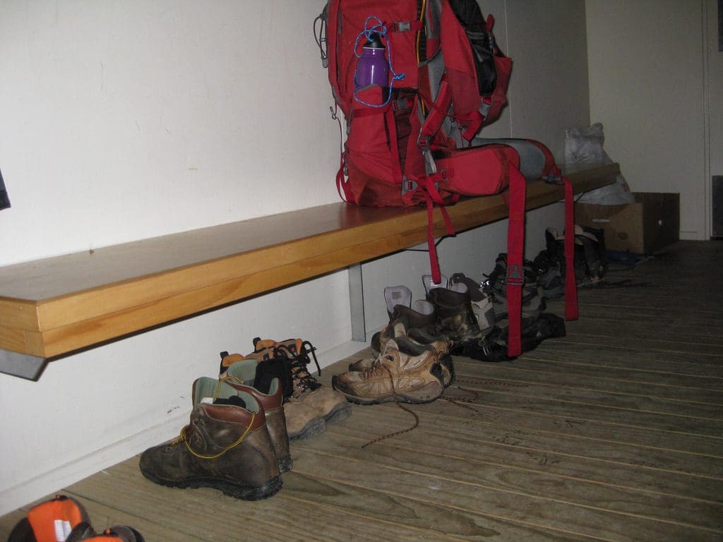
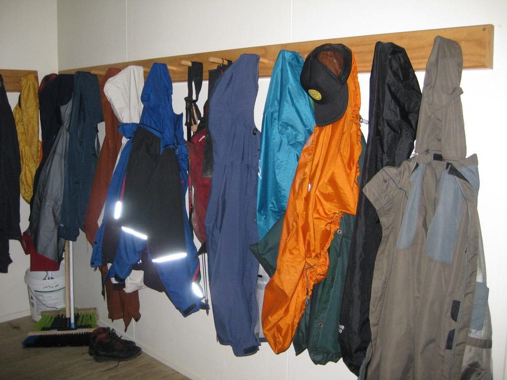

An Irish fellow from Dublin came in late morning – especially badly equipped for the climate & rain today. He has walked in from each end – Kohaihai to Lewis and Brons to Saxon. Several people do this to avoid transport cost from either end. Doing that is a good idea. Doing it without appropriate gear is not. Although this new hut is large, it lacks 3 things that we can think of: good drying lines (there is only a small rack supplemented by flimsy airing racks – nowhere near sufficient for 28 wet people with wet gear after a day in the rain); outside personal wash basins (there are 2 good wash basins in the kitchen – outside there is one basin for the campers & a little basin for the 28 people to use – all within good view of the hut and campground – needs privacy); solar hot water will save a heap of gas (most ‘cooking’ here is heating water – tea, coffee, washing up – even warmed water would take the load off the gas supply which is helicoptered in). A wet, windy day at the hut. Just the 4 of us for most of the day – reading mostly. A sudden influx from about 4pm. 15 people by 5:45pm. A male kiwi calling very close to the hut just before 8pm. We stood within 3m of it but could not see it. Quite a ‘thump’ a microsecond before the ‘squick’ sound. Very loud but the call does not carry far.
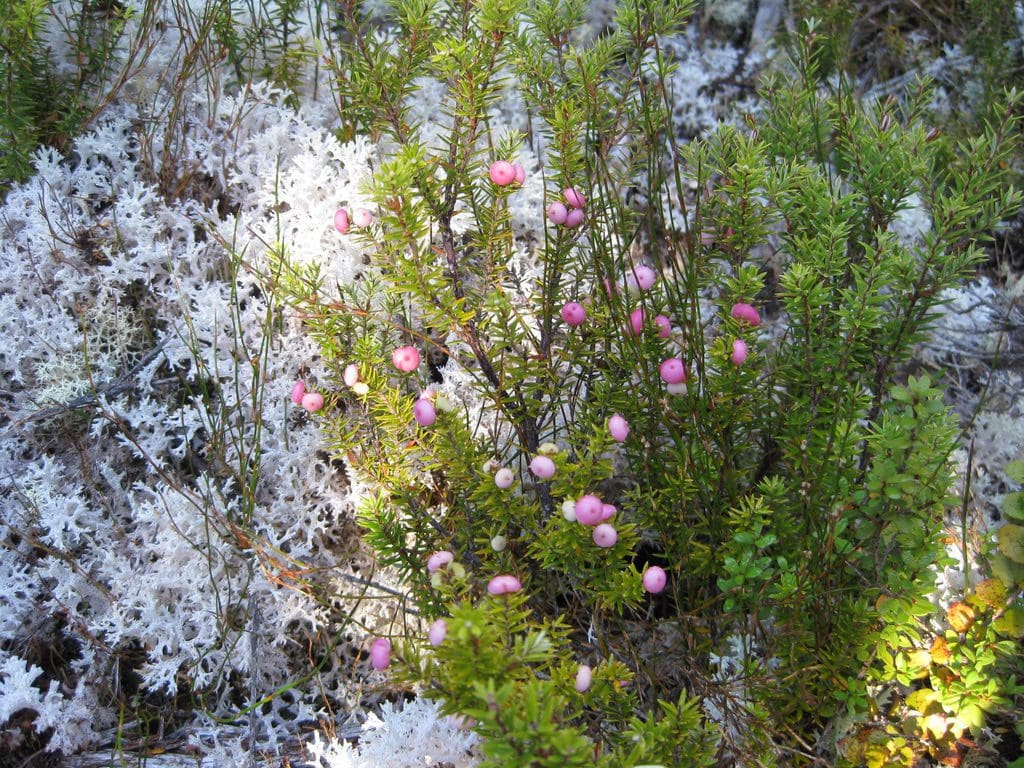
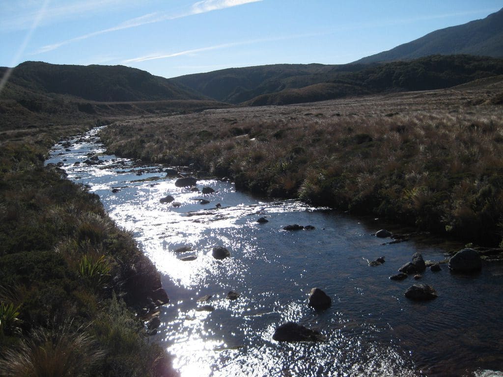
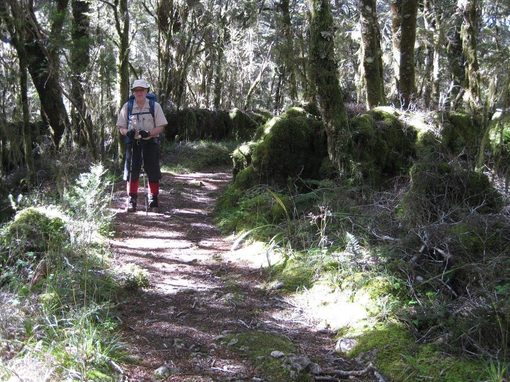
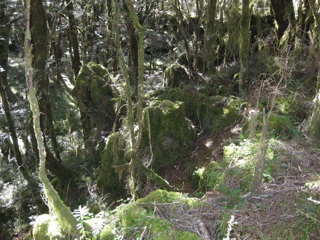
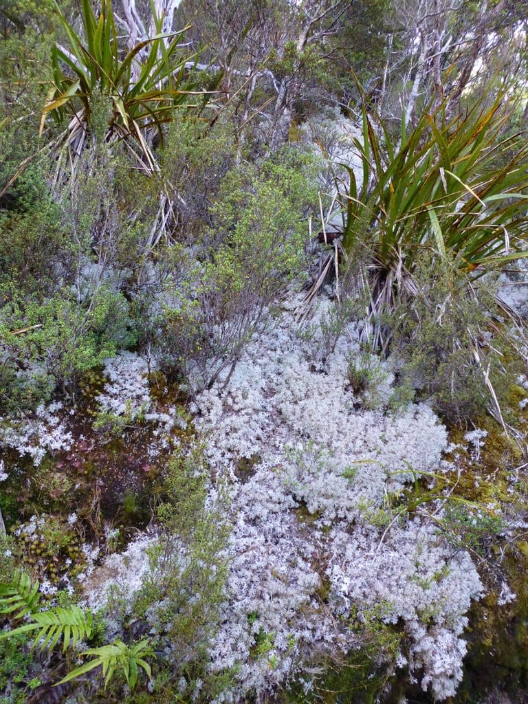
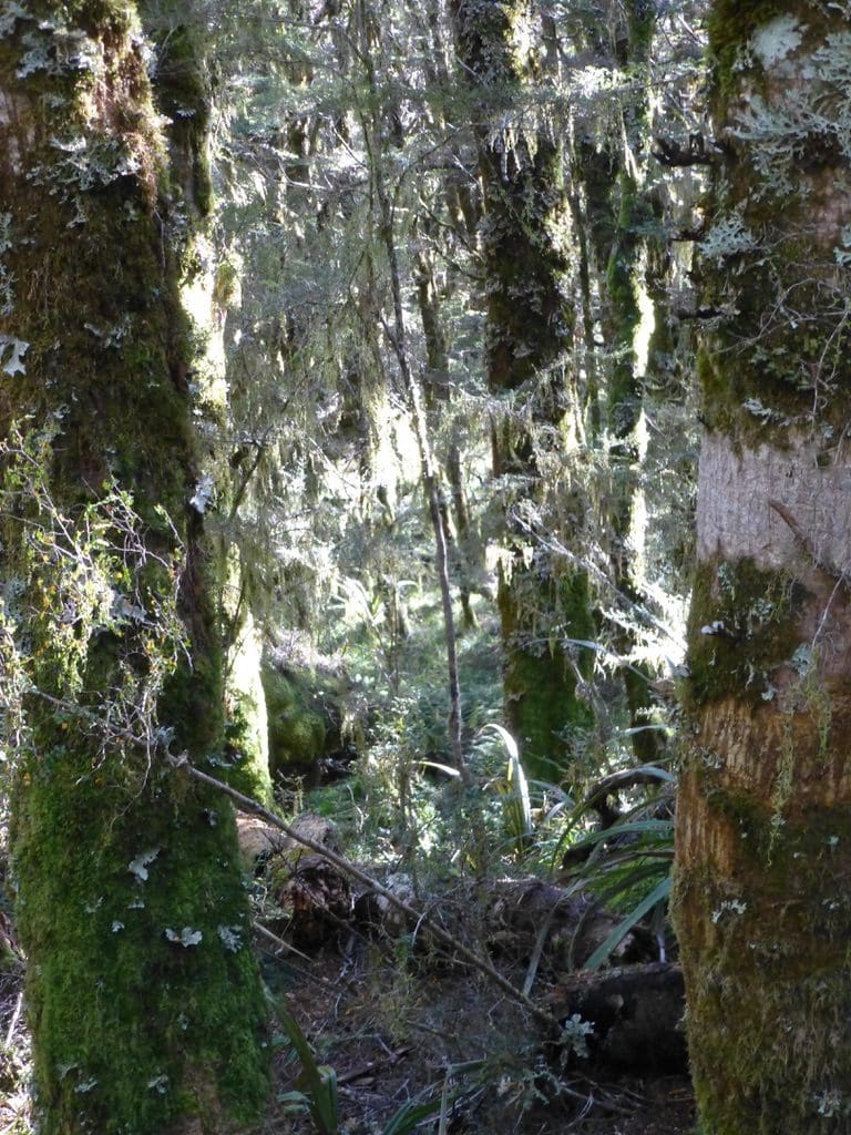
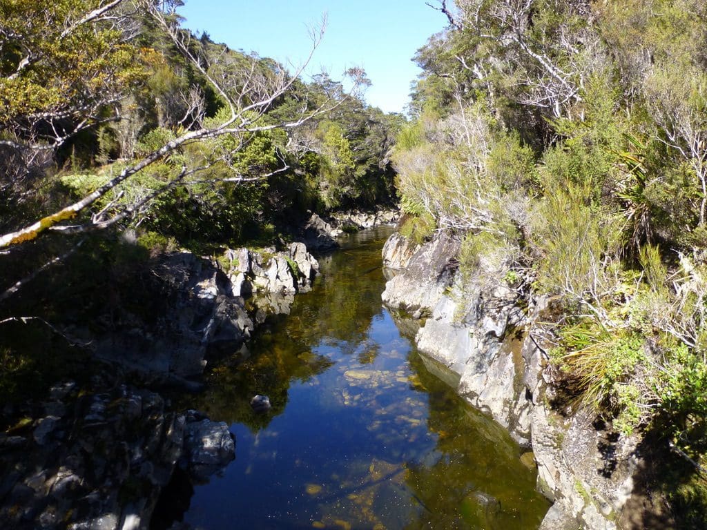
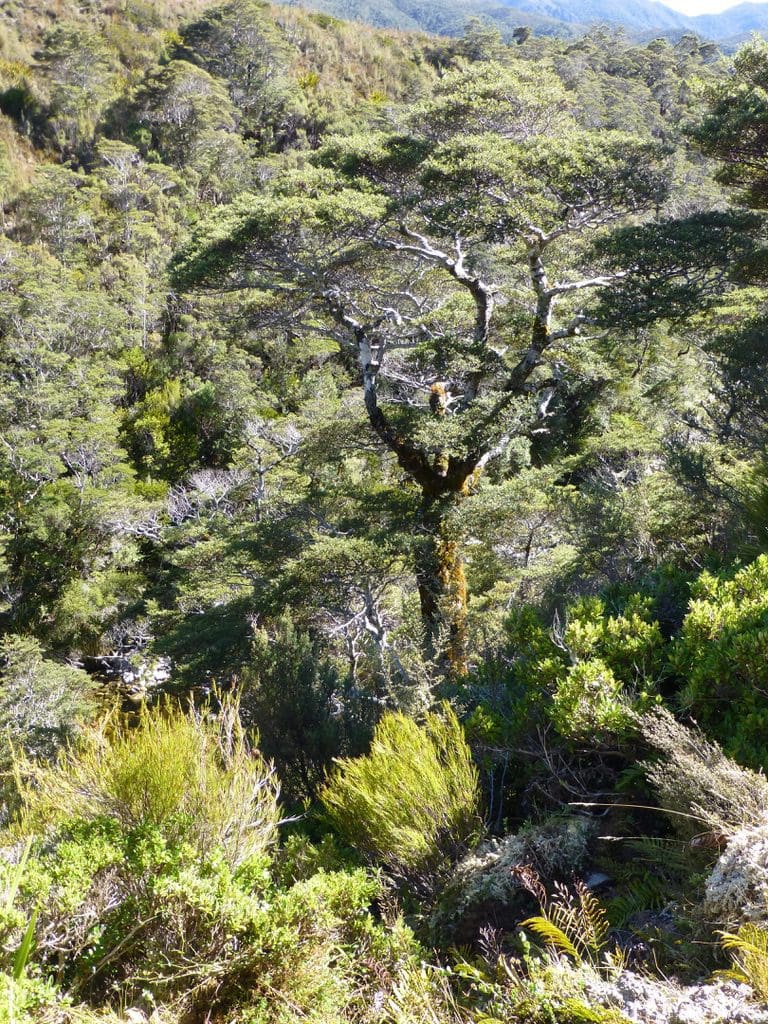
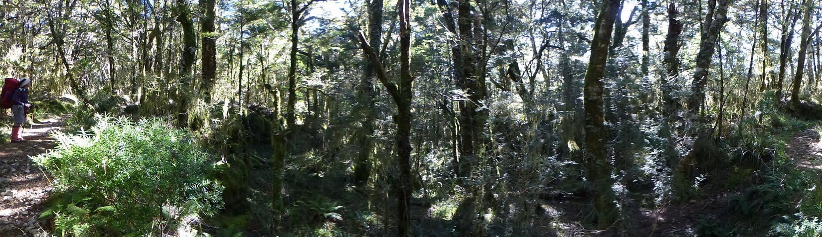
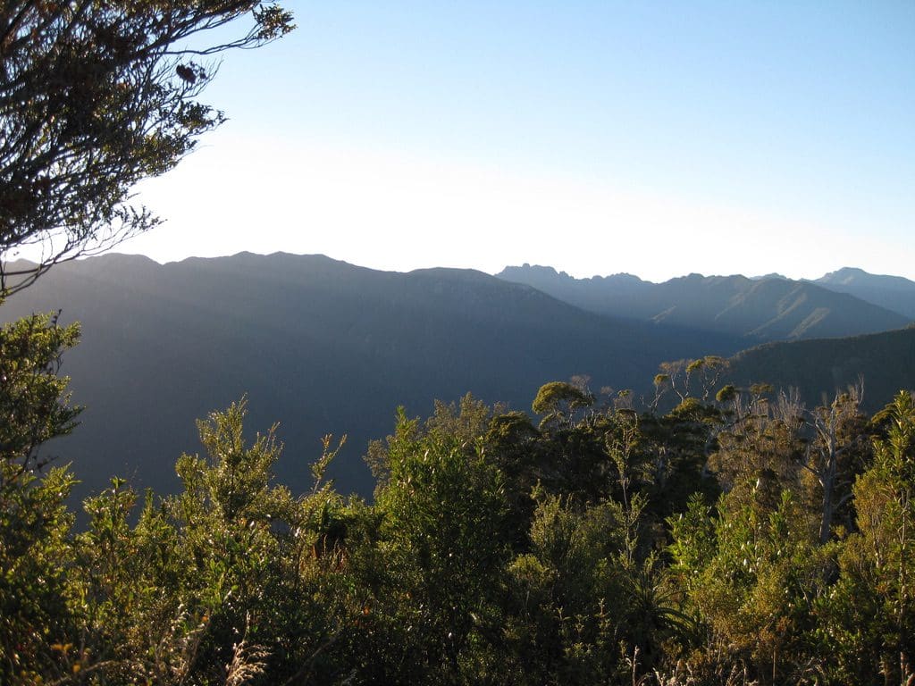
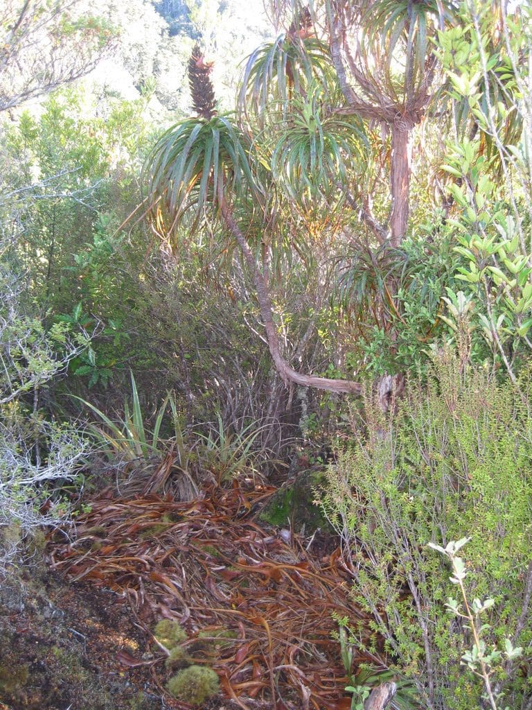
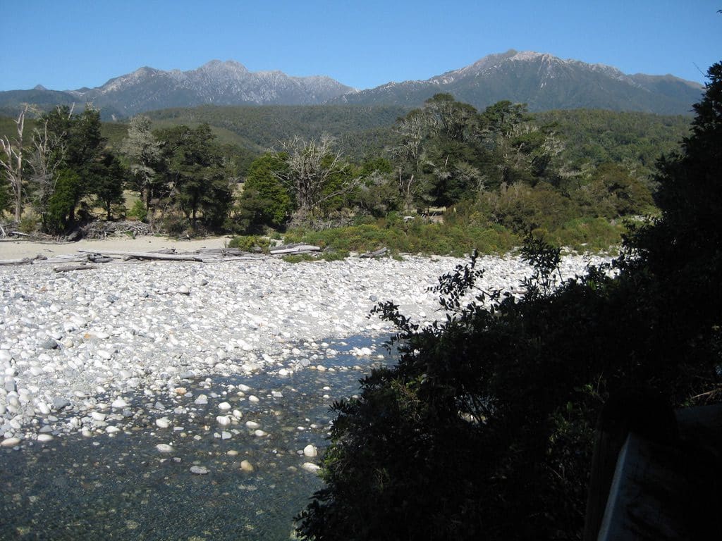
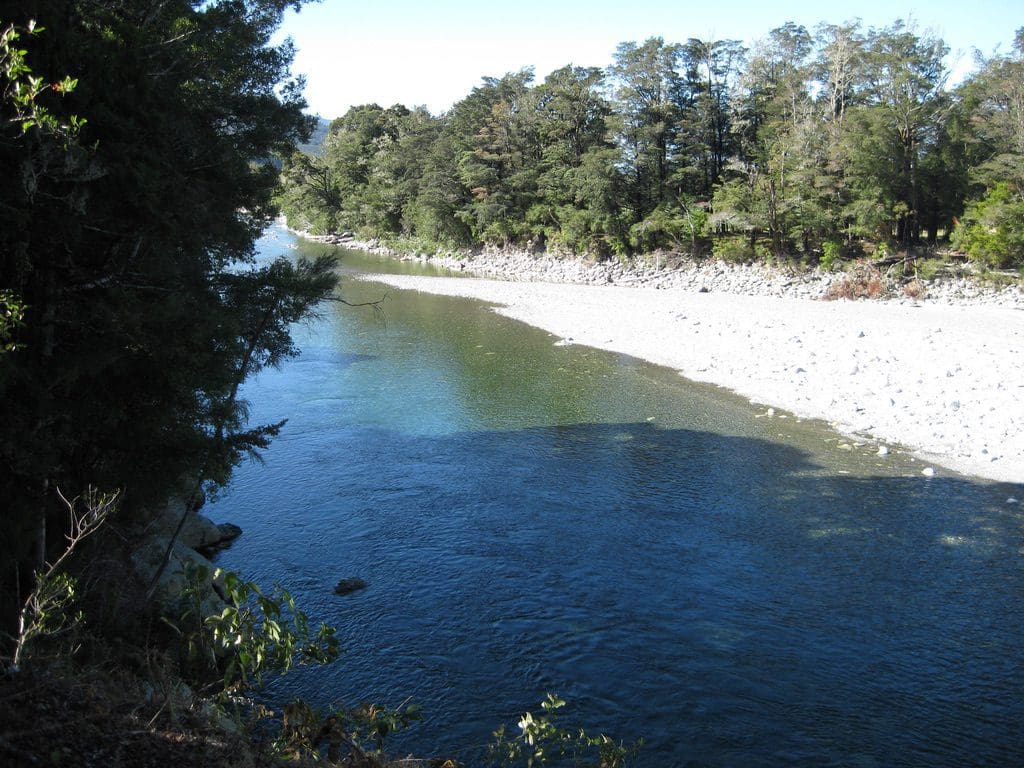
Wednesday 26 Mar 2014. 17.5km walk down from Perry Saddle Hut to the Brown River Hut. It took us 7hr 21 mins including lunch and 10 min ‘packoffs’ every hour. We managed to maintain a steady 3 km/hr while walking. Most of the way, the track is in forest – occasional views down to the Aorere River. The forest is very similar for not of the way down. The rock type is the same throughout – shale – so, the only changes in vegetation are due to elevation, amount of sunlight (some is constantly in shade, some all sun throughout the day, mostly a mixture of the two). This very steep country – an old slate bed upthrust and deeply cut by rivers & streams. Rain water runs away very swiftly and the streams & rivers are very active, high energy environments in heavy rain. The uplift of the slate is constant and ongoing (a few mm per year). But the mountains maintain the same height. The uplift, steepness and high energy rivers leads to many landslips.
At Somerset house at Collingwood, we have met our friends Hiromi & Chris again & begun to see what I had loved about this place 2 years ago. Hiromi has managed to create a special place in a ‘slice of heaven’. In a way, it is the guests Lillie (from Paris) who came for one night and stayed for 4; James & Jane – deep observers of people & great storytellers – favorite poem ‘I want to know’ – story of the tall German renting the push bike from ‘that woman’ (Hiromi), adjusting for height (knees up under chin) then having to put the helmet on (bottom lip out). Also, getting his kids to give all map directions in the car – including street names – to teach them basic map reading & skills in giving directions. Picked up by the Track Express bus at noon and driven to Nelson and Almond Lodge again.