Perisher 2014 – Nordic Skiing – Week Four

by | Aug 10, 2014 | cross-country skiing, Perisher

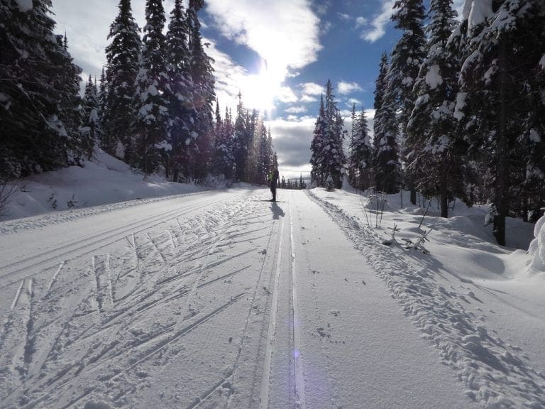
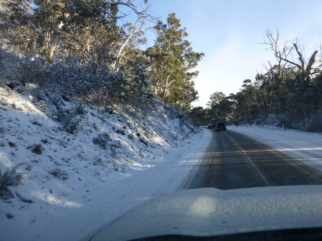
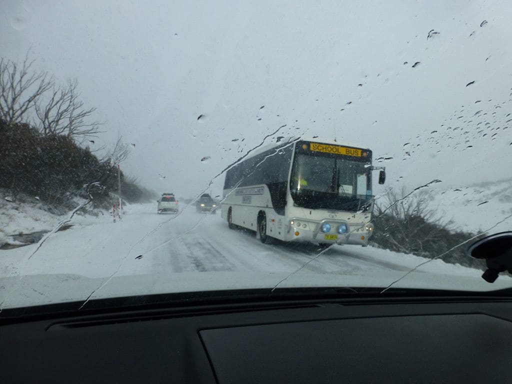
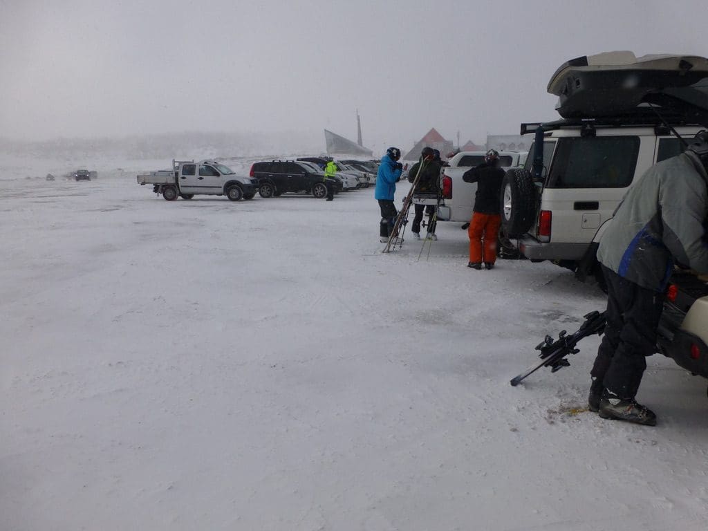
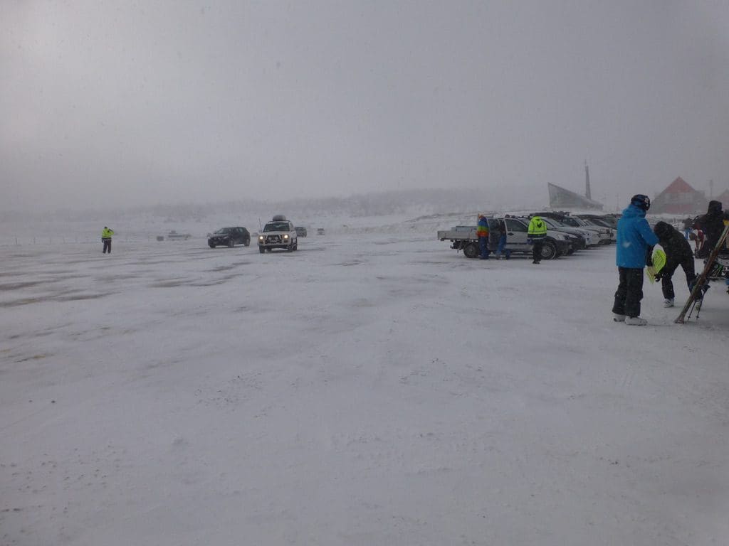
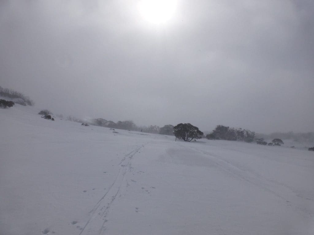
Friday 1 Aug 2014. Snow on the ground around the cabin this morning. A bit cool inside the cabin. The road to Perisher was covered with snow and the trip up very slow. Four cars had slid off the road (a Discovery, an awd Volvo and 2 Subarus) – all a bit of a surprise to everyone. A dangerous and difficult drive up. Perisher was -5C with a 20-50km/h wind blowing snow. That snow was not hanging around much but had formed small drifts across the overnight grooming. We skied (staggered) around the 7.5km (much shortened). Very difficult. Visibility low – variable conditions (icy grooming interwoven with soft snow drifts). Back at Jindy, we tried for a BBQ lunch on our table beside the cabin. We began in lovely sunshine but finished with snow falling on us. By late afternoon, we had a crust of icy snow over all surfaces outside.
 
 
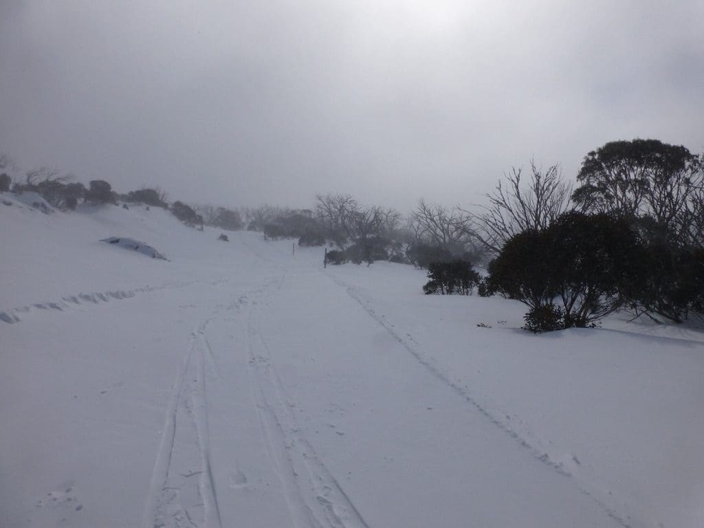
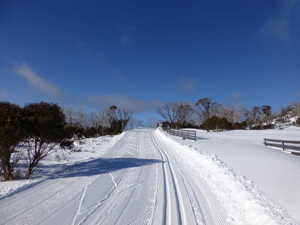
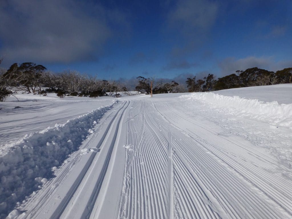
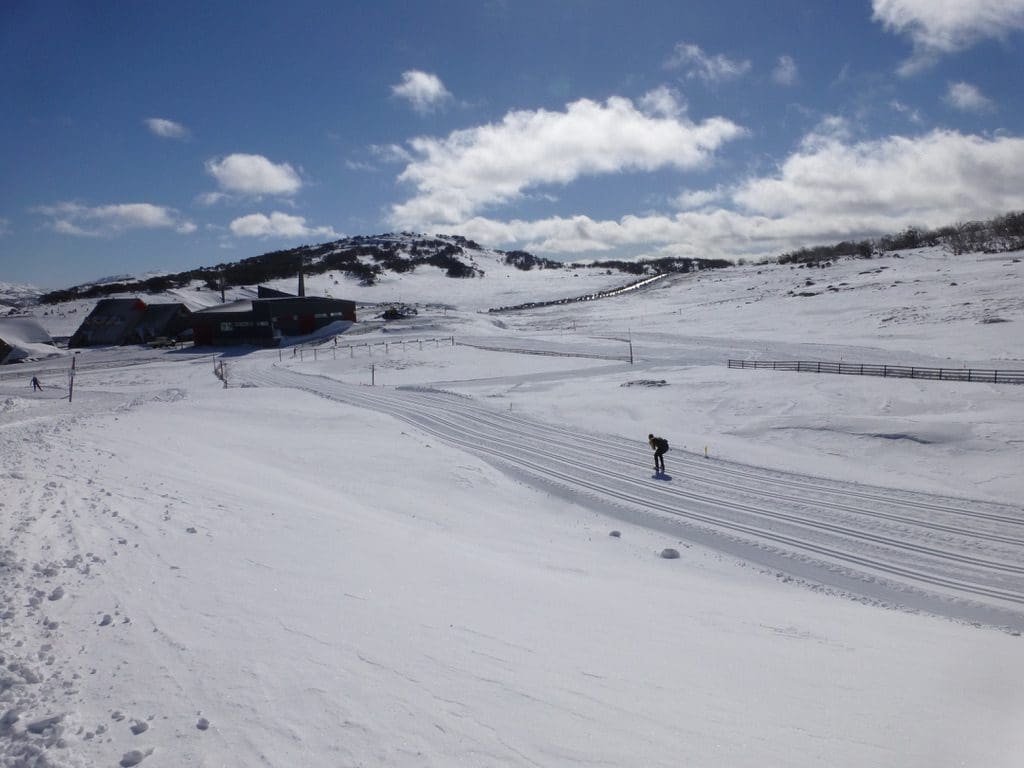
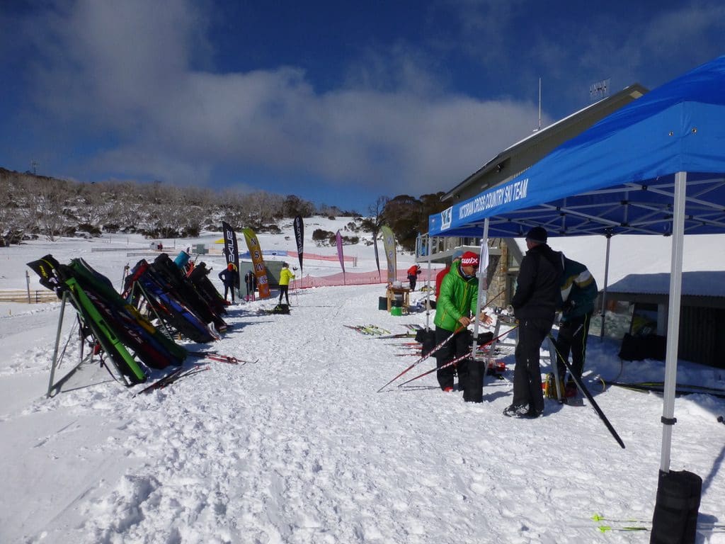
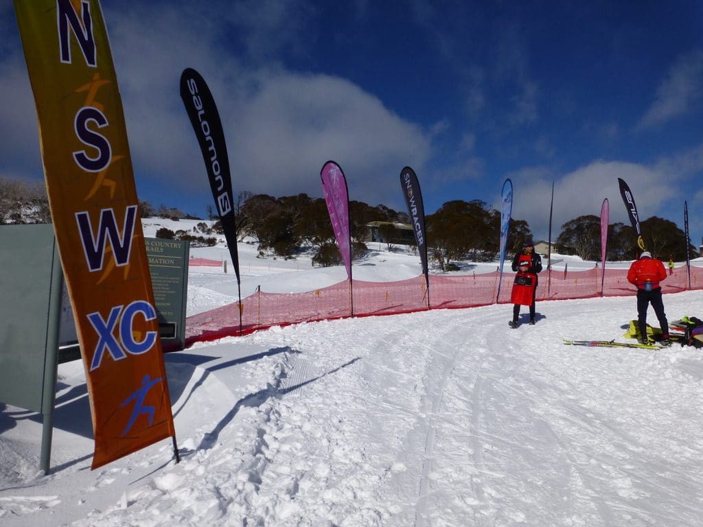
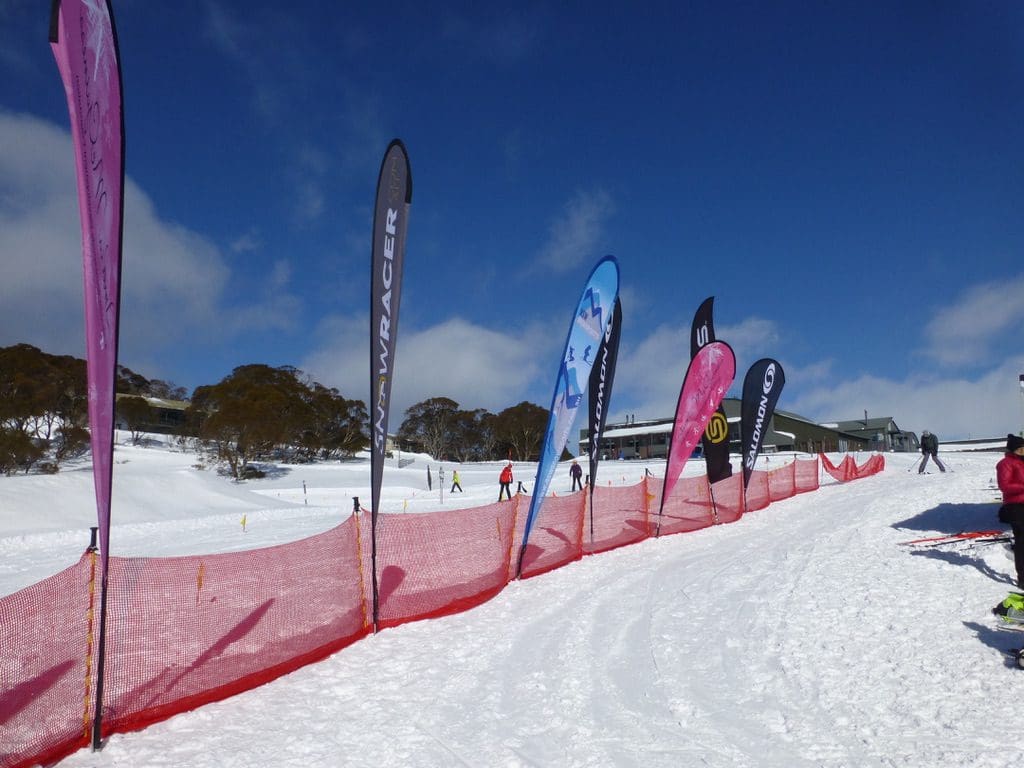
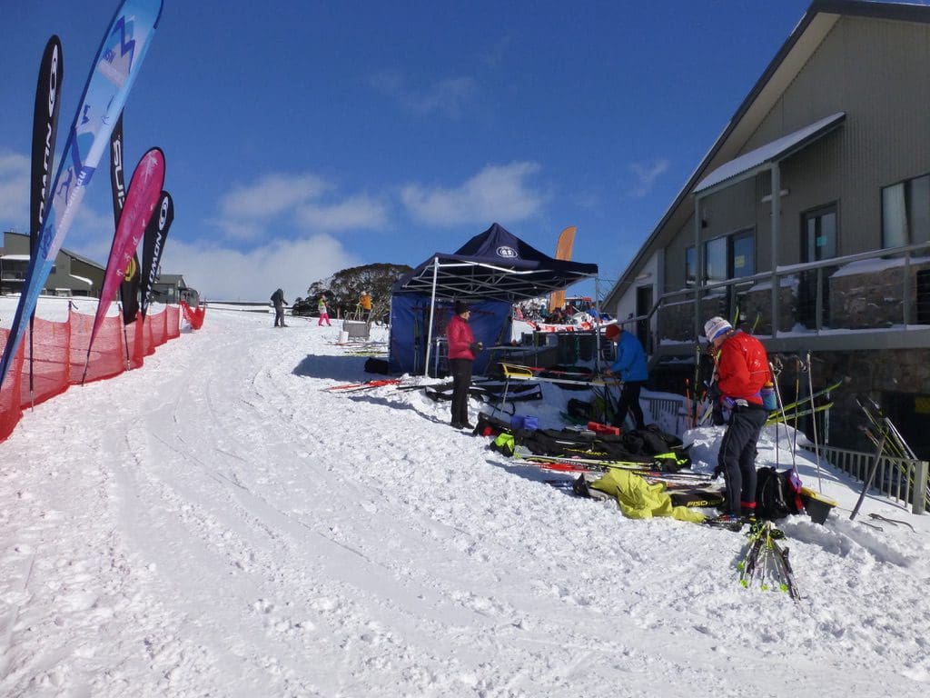
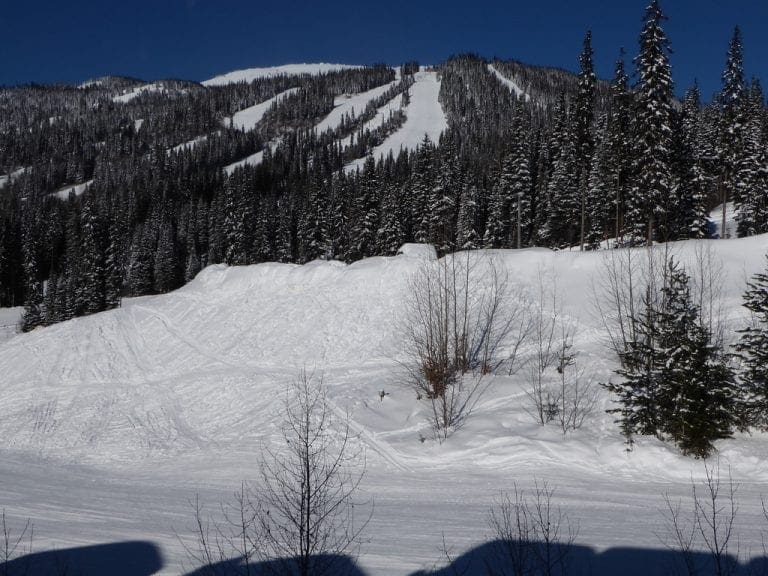
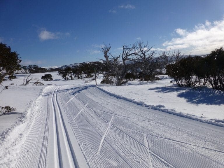
Saturday 2 Aug 2104. Snow on the ground all around Jindy this morning -3C. We classic skied the 7.5 km – complete. 1,254kCal. Beautiful snow. Beautiful grooming. Australian Open Sprint Championships (Classic) were on today so a lot of people around the hut – the sprint track is just next to the hut. A sparkling day for it. We were out by 11am. On the way down cars were parked as far down as Dainers Chain Bay.
 
Sunday. Day off. -7C this morning here. According to the locals, that wind the other day was gusting to above 150km/h – occasionally to above 200km/h. That is bloody windy.
 
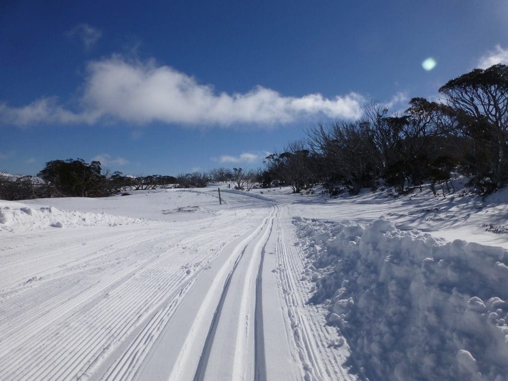
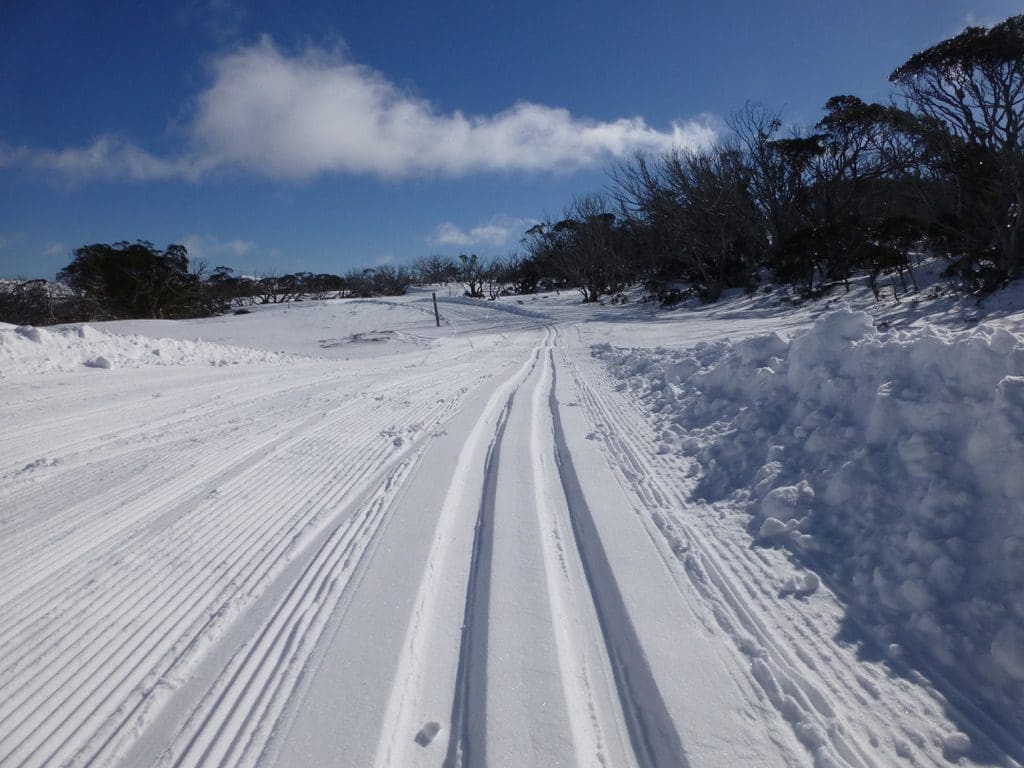
Monday 4 Aug 2014. -10C this morning. A staggeringly beautiful day – blue skies, sunny – delightful soft dry snow. We classic skied the 7.5km with friends Eduard and Vera. An excellent day. 
 
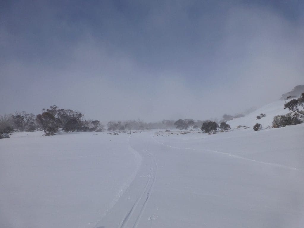
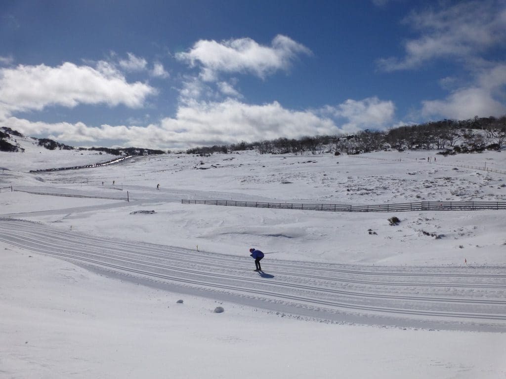
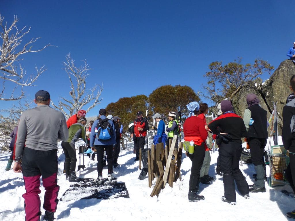
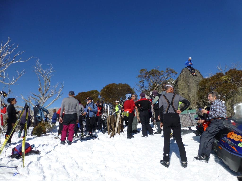
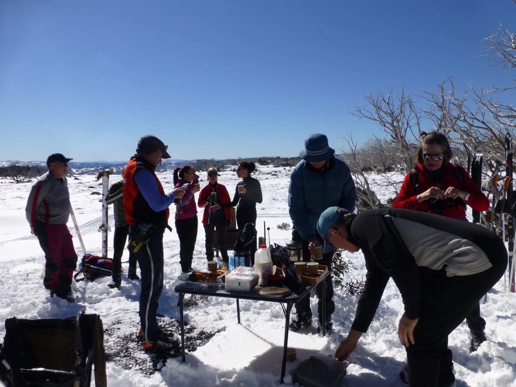
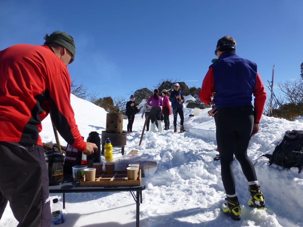
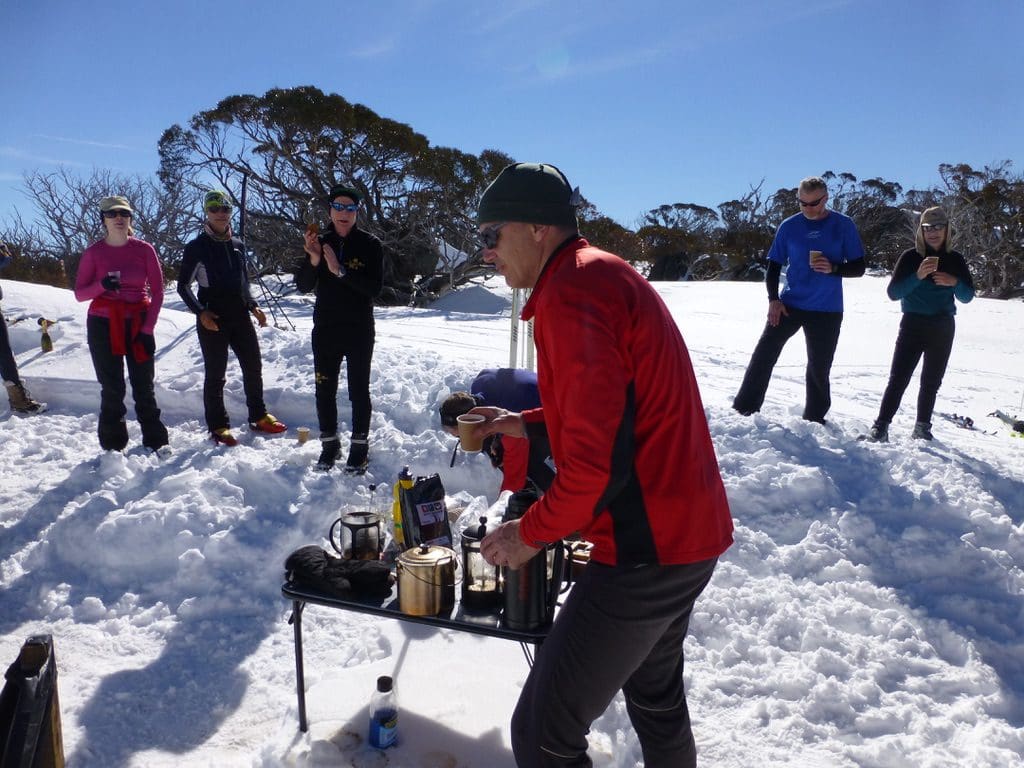
Tuesday 5 Aug 2014. -10C this morning. Another beautiful day. We joined the ‘mystery coffee tour #1’ which had 34 takers. In two groups (one tracks – us – the other off tracks), we made our way up the reverse 5km to the furthest south point and cut across on a specially made tracks to intersect the ‘Porcupine Track’, then back towards the 7.5km where a coffee and cakes were set up. An excellent time. We realised how much we have missed the off track skiing and how much our classic has improved. After all, we’ve only been doing it this year and our weight shift is really coming along. We almost look as though we can do it. Now, to make it even more efficient and get all the way round without stopping. Hah. (1,941kCal) I got very close to my max heart rate today. Completely exhausted tonight.
 
Wednesday. Off
 
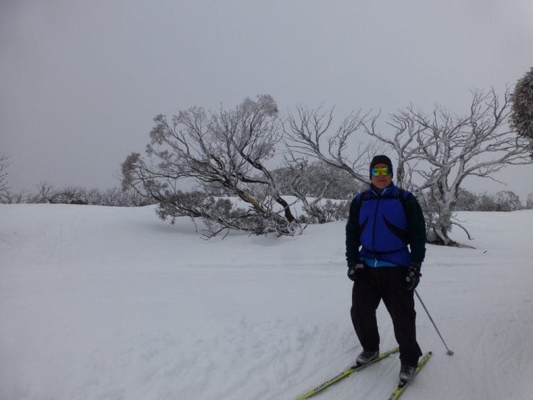
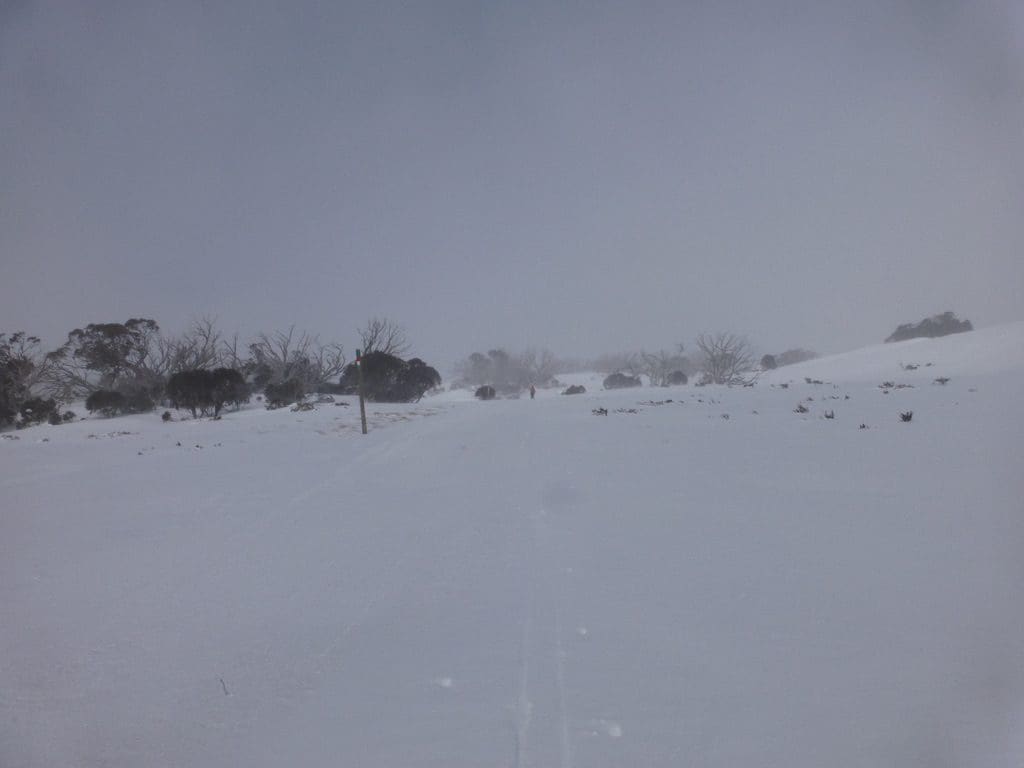
Thursday 7 Aug 2014. Yet another beautiful day. -7C We classic skied the 5km and the reverse 3.5 for a total of about 8km. Technique is coming along. I had a fall while practicing step turning and cracked a rib. Bugger.
 
Friday 8 August 2014. -5C Yet another beautiful day. We joined the Secret Coffee tour #2 (about 27 takers) which took the 7.5km track to a high point to the right just before the Porcupine heads off. Very pleasant. I had another fall which did spring those ribs a bit more. Pain killers.

Shield Shrimp

When it rains across Australia’s vast inland region, temporary pools crop up all over the arid ground, giving life to a strange desert crustacean known as the shield shrimp (Triops australiensis).

Named after the formidable carapace that shields its head and upper body, T. australiensis can grow up to 7.6 cm long, and it uses its long, segmented tail and mass of 60 or so legs to propel itself through shallow water.

It also breathes through these legs – its sub-class Branchiopoda means ‘gill-legged’ – and in the females these legs bear ovisacs for carrying their tiny eggs.

Several pix in the Photo Gallery and a movie.

Acacia peuce

A rare and endangered plant. The tree grows up to 15 to 18 metres (49 to 59 ft) high, with short horizontal branches and pendulous branchlets covered in needle-like phyllodes adapted for the arid dry climate. It has a distinctive habit more similar to a sheoak or a conifer.

Although speculated to have been widespread across central Australia during wetter climates 400,000 years ago, the population is now mostly restricted to three sites, separated by the encroaching Simpson Desert. In the Northern Territory, the species is restricted to the Mac Clark (Acacia peuce) Conservation Reserve which is surrounded by a pastoral lease, Andado Station. The other two sites are near Boulia and Birdsville in Queensland. The tree is found in open arid plains that usually receive less than 150 millimetres (5.9 in) of rain per annum. They grow on shallow sand aprons overlaying gibber or clay slopes and plains and between longitudinal dunes or on alluvial flats between ephemeral watercourses.


Owen Springs Reserve on Hugh River

Owen Springs was a station on the Hugh River. The Hugh River flows into the Finke (when it actually flows). Both cut through the Western MacDonnell Ranges. The image above shows Owen Springs Reserve as a dot at lower right. The river it is next to is the Hugh. Hermannsburg, our next town, is near middle left edge. Hermannsburg is almost on the Finke River. You can see both Hugh and Finke Rivers cutting through sections of MacDonnell Ranges.

Palm Valley

Palm Valley is within the Finke Gorge National Park southwest of Alice Springs. Palm Valley has a smallish population of Red Cabbage Palms (Livistona mariae). The nearest related species is 850 kilometres away in Katherine NT. The average rainfall for Palm Valley is just 200 mm per year. Small pockets of semi-permanent spring-fed pools allow the unique flora and fauna (desert fish, shield shrimps tadpoles and frogs) to survive.

It had been assumed that the cabbage palms were remnants of a prehistoric time when the climate supported tropical rainforest in what is now the arid inland of Australia. Genetic analysis published in 2012 determined that Livistona mariae at Palm Valley is actually the same species as Livistona rigida from samples collected near Katherine and Mount Isa, both around 1,000 kilometres (620 mi) away. It is now thought that aboriginal people brought the palms to here from Mataranka.

Mound Springs

Mound Springs occur around the Western edge of the Great Artesian Basin and represent a natural discharge of Artesian water that was captured many hundreds of kilometers away from rain falling along the Great Dividing Range and New Guinea. This article provides details. Dalhousie is an excellent example of a mound spring.

Great Artesian Basin map Great Artesian Basin diagram