Perisher 2014 – Nordic Skiing – Week Three
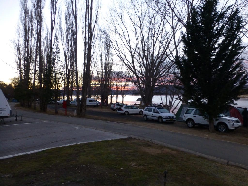
Saturday and Sunday off. On Sunday we walked 3km into town to do our grocery shopping and walked the 3km back with groceries in our daypacks. Also spent some time trying to reorganise our grey water drainage from the van. The set up we chose last year is not allowed this year.
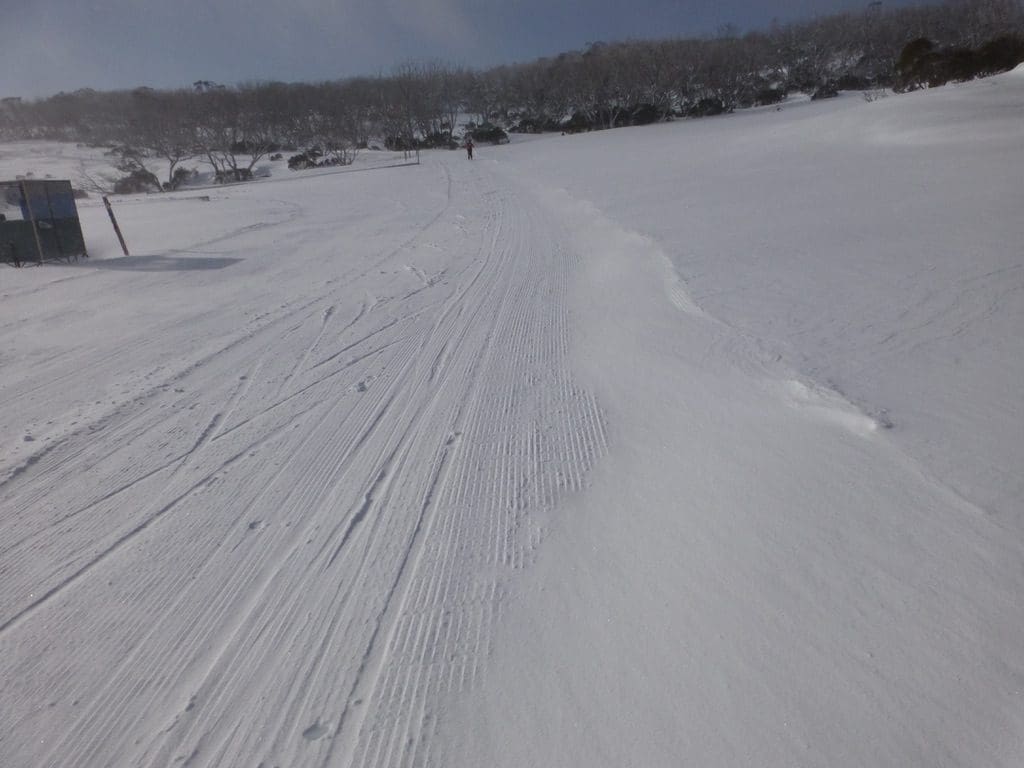
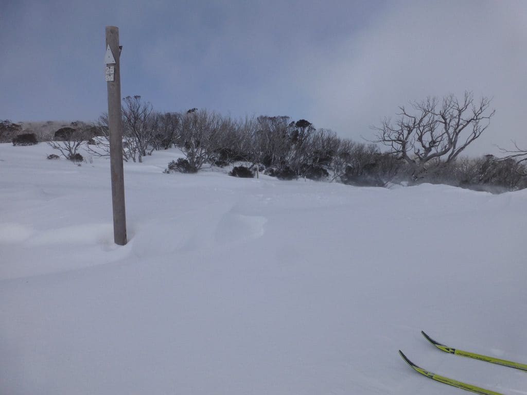
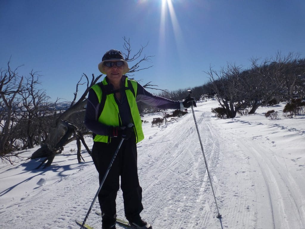
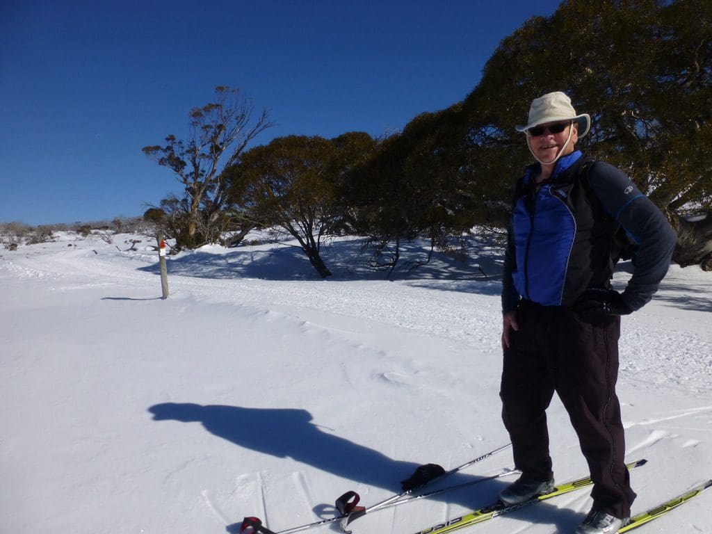
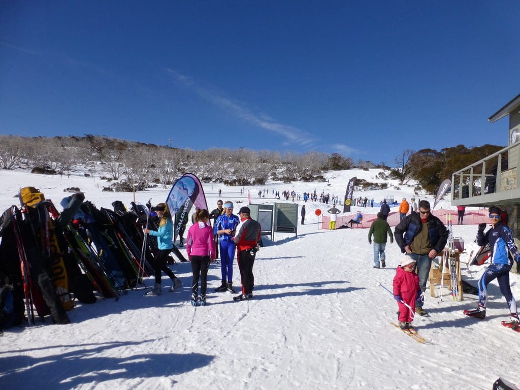
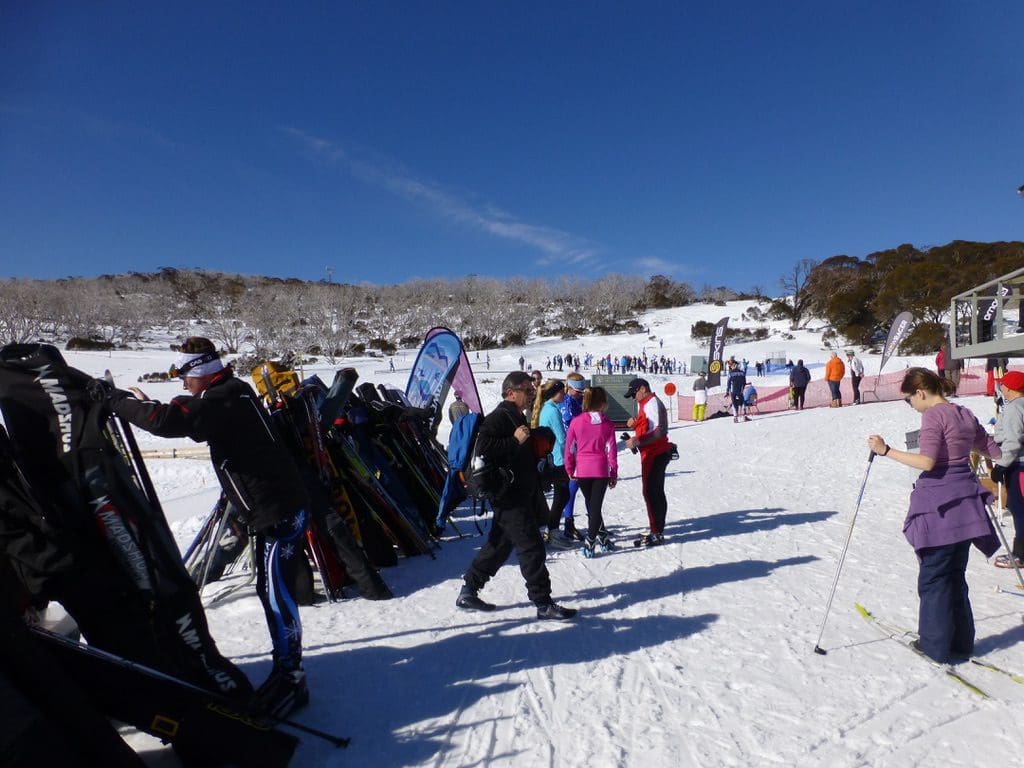
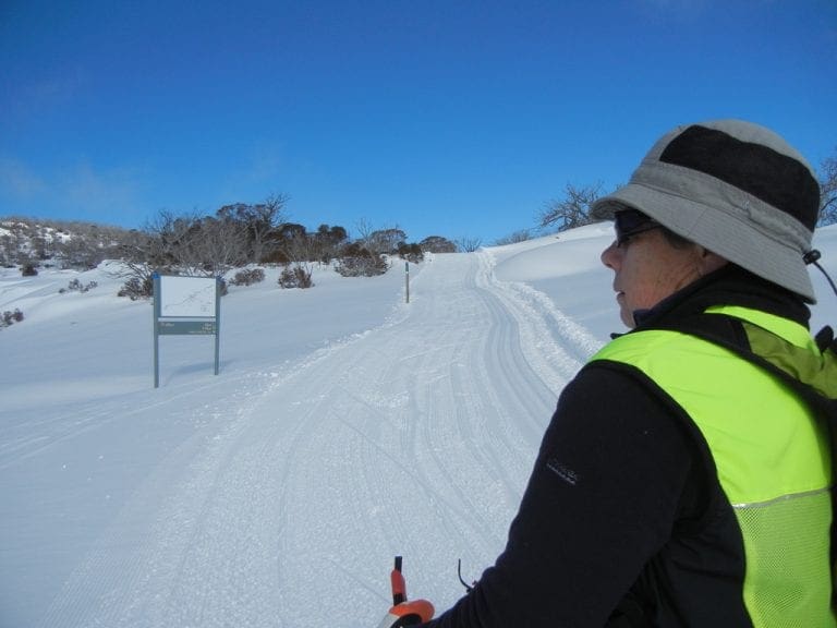
Monday 21 July 2014. Classic skied the 7.5 km plus an out and back on the Valley Trail. (1,490kCal) Cloudy with no wind. The tracks had frozen overnight and the trackset had not been done (the two grooves along the side of the track that we prefer to us with the classic skies) because it was too solid. A bit hard to get up all those hills in the early morning. What does surprise me is how few recreational nordic skiers we see on the tracks. Yes, we see racers every day – the Australian team, NSW team. But very few recreational skiers. Yet, on the other side of the road, hundreds of recreational skiers head downhill. One costs $100+ per day, the other is free. Both are skiing and need skill. Nordic can be done at a walk through to race pace. Hmm.
Tuesday 22 July 2014. -6C at Jindy this morning and about the same at Perisher. Crusty snow. We had a coffee at Brunelli’s before skiing to give the tracks a bit of time to soften. Classic skied the 10km (Short cut by taking the Coach’s Link – which cuts off 1km). (1,535kCal) Cloudless sky and hot – we were in underwear and sun hats. An excellent day.
Wednesday. Day off. Cooked a casserole.
Thursday 24 July 2014. Possibly a perfect day – slightly cloudy with a light breeze – snow soft – tracks perfectly groomed and trackset. We classic skied the 5km plus bits of the 2.5 (twice) and the 5km (again). Probably about 9km in total. (1,328kCal). Possibly the best day yet. Technique is really improving.
Friday and Saturday off
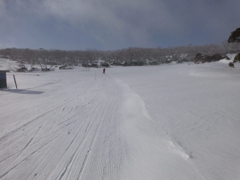
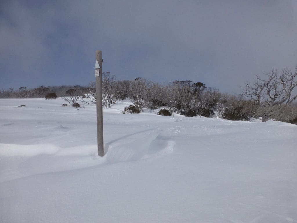
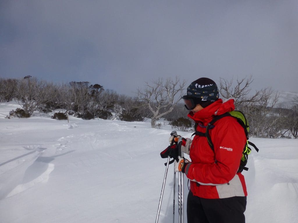
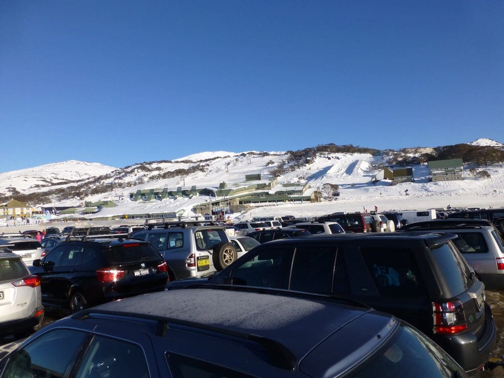
Sunday 27 July 2014. A beautiful clear sunny day. Not a cloud in the sky. Race Day for the juniors. The races were due to begin at 10, so we headed off with an early start to classic ski the 7.5km. (1,212kCal). A tad icy climbing the first long hill from the Nordic Shelter. After that, it was extremely good snow. Our technique is improving and we are cruising up hills that were difficult just a few weeks ago. It is very good to see the overseas teams and individuals who have come from the Northern Hemisphere to ski at Perisher in our winter. Quite a few Swedes and Norwegians. (We almost got back to the Shelter before the races began. As it was just one racer went past us on the track itself.)
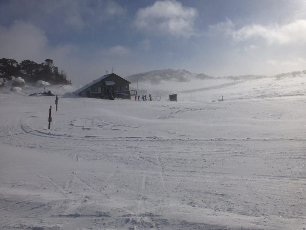
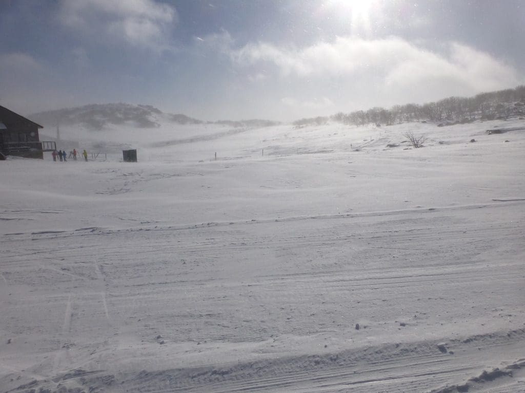
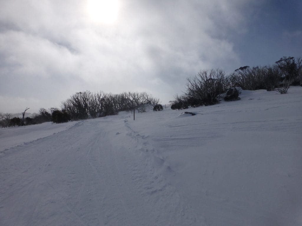
Monday 28 July 2014. Blustery. The wind gradually increased and the visibilty decreased during the morning. We classic skied the 7.5km and the 3.5km (shortened). Probably a total of 9km. (1,299kCal). A bit slippery early but the strong wind blew us up the first hill. Our technique is gradually improving. Two things are helping: double poling with heels raised (scary at first but it works) and kicking a football up the hill – still can’t do this yet but I think we are getting better.
Tuesday 29 July 2014. A day off. Very windy. Very strong winds throughout the day. Began at about 5am and blew in gusts that raised water spouts on the lake and tore twigs and small branches off the trees. Ended at about 8pm.
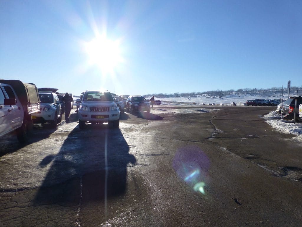
Wednesday. Rain. We drove up and looked at the snow in the light rain. Very light wind. The snow cover has reduced quite significantly over the last week. Quite a lot of grass showing from about the level of Perisher Valley.
Thursday. Extreme wind. Much of Lake Jindabyne with goodly waterspouts. Branches ripped off trees. When we get wind, we get wind. Amongst the worst days of wind we have had down here ever. Quite a lot of damage with large branches being ripped off trees, shed demolished and roofs ripped off. A bit too dangerous to be out at all with all that timber flying around. It was interesting watching the wind hit the lake – poomfed down on it rather than blew across it. The other van park (the one in Jindy) was severely pummelled. At 8:30pm we had a power black out when a tree ripped out a power pole – too hard to fix in the dark, so they left it to morning. The cabin was shaken by sever wind all night. Neeka was not impressed.