Sun Peaks skiing 2017 – week 5

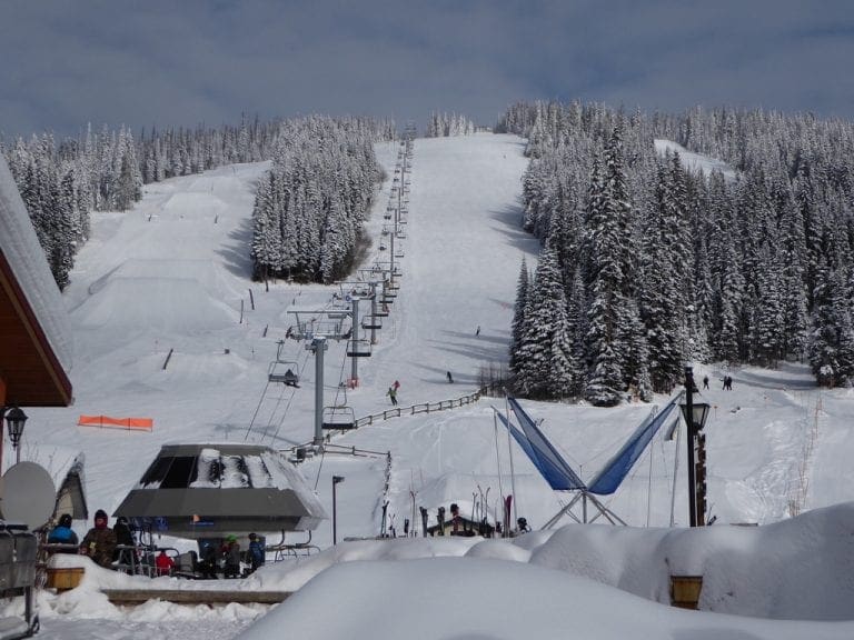
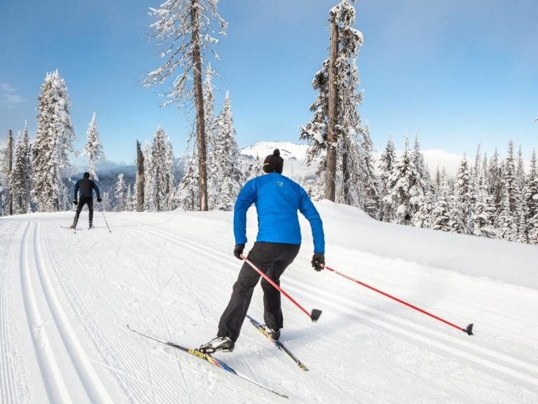
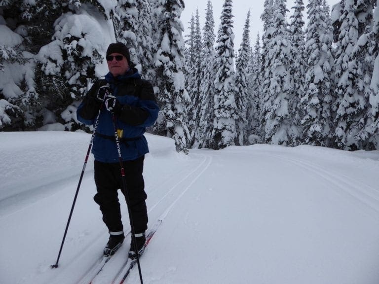
Wednesday 15 Feb 2017. Day 29. Skate skied from the top of Morrisey chair down Holy Cow, along Moose, down Lake McGillivray track, down Black Bear, along Vista and back to the stables. We fell in love with skate-skiing again. Skating down Holy Cow is extremely good. The weeks of balance exercises at the gym and the couple of weeks of classic-skiing has really improved our balance. Committing weight to and standing and gliding on the one ski is becoming easier.

Our enthusiasm for a return trip to here next year is increasing – lists are being made. More than an hour in the hot tub today – chatting.

Thursday 16 Feb 2017. Day 30. Quite a lot warmer today – just above zero. Quite a big melt in the valley. We skate skied from the top of Morrisey chair in a repeat of yesterday. A significant difference in the snow made skating today a lot more challenging. At the top, the groomed corduroy had formed firm packed ridges in which it was very easy to get stuck. Our skill level was tested.

Skating down Holy Cow actually involves very little skating – a bit at the top, a bit between Screech Owl and Morrisey Road and about 20-40 skates at the bottom. Somewhere down Black Bear, the hard snow changed to soft snow and by the time we got back to Morrisey base, we were certainly on soft snow. (Just soft. A very far cry from the water-skiing at the bottom of Australian ski runs.)

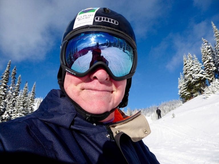
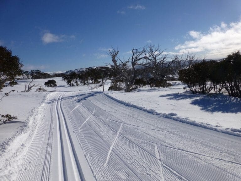
Friday 17 Feb 2017. Day 31. 22nd day skiing – and last day for this trip. Very mild temperatures just less than zero which means the melt from yesterday is hard today. We classic skied from the top of Morrisey down Holy Cow, along Moose, up Lake McGillivray trail, up and down Blue Grouse, along Vista back to the old stables and out. Snow at the top was very good, though hard and fast. From the point where the snow was soft yesterday (today, for us, this was just below El Garde intersection) the snow was hard, fast and difficult. The very long snow plough down Blue Grouse was unpleasant, but getting along Vista a bit easy – double pole most of the way.
We have had a very good stay here and have become enthused with coming back next year – for a longer time and to add resort telemark to our mix. So, next year, we will each bring three sets of skis, boots and poles – plus helmets, goggles and downhill jackets. Helen is making lists of what not to bring. We obviously brought too much – quite a lot of stuff has not been used.
60 hours of cross country skiing 34,862 kcals. Question. Can you exercise enough to lose weight? No way! The only way to lose weight is to stop putting things in your mouth. I am a living breathing specimen of how well all this works.
Saturday Feb 2017. Day 32. Departure day. This is going to be a hugely busy day at Sun Peaks – Presidents Day long weekend brings many visitors. We packed the skis yesterday and today got everything into our two suitcases. Helen is making lists of what not to bring next time – especially when we have 6 pairs of skis and downhill ski clothes. We’ve checked out, been for a walk, had lunch (at the crepe house – excellent – met a cat that skis double black diamond runs – ‘double black cat’), caught up with emails and now wait for our 5:30 shuttle. As well as the shuttles from the airport, two packed buses checked in (30plus people each bus). All handled with little effort and the lobby cleared within a few minutes. A very good job. The flight from Vancouver leaves at midnight tonight and arrives in Sydney on Monday morning.

I have to mention the squirrel. We’ve been feeding the little buggers with nuts – a mix of groundnuts and tree nuts. The tree nuts are eaten first (hazelnuts first, then almonds then cashews). It makes a pile of the peanuts outside the window. The squirrel then bangs on the glass, puts its hands on its hips and makes faces through the window. Later, after a run up and down the trees outside and a hunt for anything else to eat, it comes, with sighs and signs of reluctance, back to finish off the peanuts. (Look carefully for the squirrel in pic left.)
Since we were last here in 2009, Sun Peaks now has a school with about 100 kids. The school house is at the top of the Village platter lift so the kids ski-in ski-out to school. Fridays are always days off – to give a long weekend every week. The kids are encouraged and assisted to find jobs in local businesses or the ski school. Some have qualified as ski instructors by the time they leave school. Getting teachers here has been a problem. Schooling from K-12. Much of the senior school is by remote instruction with specialist tuition. I think this would be a great place to go to school.