Sun Peaks trip 2018 – Week 4

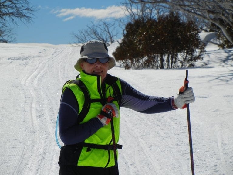
Tuesday 6 Feb 2018. A change today. Our first day of cross-country skiing. We took the skating skis out for a try. Hmm. We only managed to ski out and back on the Cotton Tail – the easiest run which goes up gently from the base of Morrisey. Gradually remembering how to skate. Hard work when trying to remember. 1:40 hours, 3.68 km, max speed 15.8 kph, 53% of the time our speed was in the 3-7 kph range, 25 m ascent & descent (it seemed a lot more).
Bruce and Juliet are going back to Toronto early. Yesterday, Bruce broke his old snowboard boot and hired new ones. The new ones did not work (they are too stiff) and he had a very bad run today with many falls and, because he could not turn, he kept getting into more difficulties. A shame.
Wednesday 7 Feb 2018. Snowing for much of the night and morning. We did not venture out. Went down to farewell Juliet and Bruce and helped dig out their shuttle bus that got stuck in the snow. Several blokes all shouting instructions to which no one paid attention.
 |
| Kids playing on the side of the tube park outside our window |
Thursday 8 Feb 2018. Snowing all morning – heavy at times – sticky snow. According to the forecast, today was supposed to be sunny. Not so. Because of the heavy snowfall (that we are getting sick of), we shelved our plans for a skating day and hired classic cross-country skis for a few days from McSporties. (We did not bring our classic skis with us.) We classic skied out along Cotton Tail and got just about half way up Black Bear when the build up under our skis made any progress impossible. We retreated to the lower part of Cotton Tail which we skied up and down until 2 hours were up. The Polar M430 turns out to be unreliable when the skin under it gets cold. 2:30 hours, 95m descent, 115m ascent, 20 hours to recover.
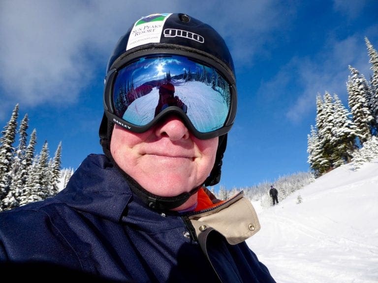
Friday 9 Feb 2018. Not snowing, blueish tinges through the clouds. Temp has dropped to -14ºC in the village with a light wind (which makes it feel colder), -17ºC at the top of Morrisey. We classic skied out along the Cotton Tail, up Black Bear, down MacGillivray, a bit of Vista, back along Cotton Tail and out at Stables. 2 hours, 6.55 km, 1,200 kcals, 90 m ascent, 23 hours to recover. Quite a good training run. Heart rate nicely controlled. I wore the Polar M430 on the outside of my left wrist and the FT80 on my right wrist (and its chest strap). If the M430 is well covered so that the skin does not get cold, it does a fairly good job at estimating heart rate. It does lag the actual heart rate, but does give a good value for the time in each zone.
Saturday 10 Feb 2018. Woke to a blue sunny day with -20ºC outside. Too cold, so we’ve decided to wait a couple of hours in the hope that it will warm up. A fire alarm in the hotel overnight. It had turned itself off by the time we had got down from our loft bedroom, but it did cause a problem with the hotel boiler, so water was off for a while. We classic skied out along Cotton Tail, up and then down Black Bear, back along Vista to Morrisey base and back to the stables and out. 2 hours, 5.68 km, average heart rate 132 bpm, 90 m ascent & descent, max speed 21.9 kph, 31 hours needed to recover. I stopped every 40 strides or so – depending on the sun patches to stand in. The descents down Black Bear and from end of Vista down to Morrisey base were the real tests today. This was an extremely good training session.
 |
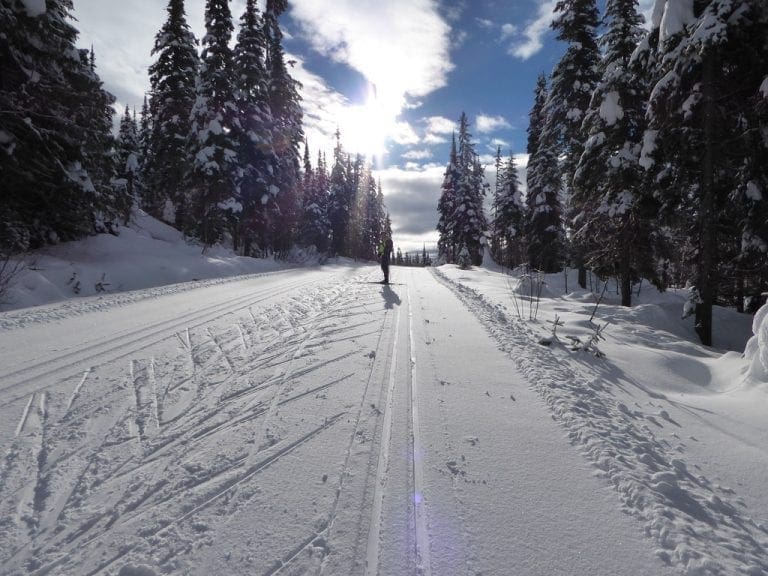
| Groomer on Broadway |
Sunday 11 Feb 2018. Day off. We watched Winter Olympics. Same -20ºC as for Monday – which was too cold for us to venture out. Sunny, clear skies and cold. We will try tomorrow which might be ok before a snow fall.
We’ve been watching the Winter Olympics and talking about the significant difference in speed between winter and summer sports. You don’t see to many summer athletes doing speed on more than 100kph. Some good ads too. The one below tries to make the point.
 |
| Top of Morrissey Holy Cow is off to the left |
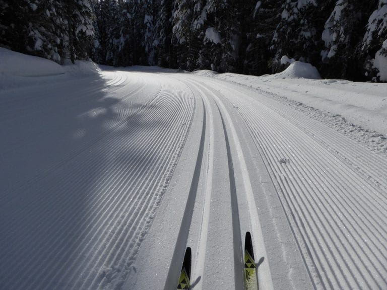
Tuesday 13 Feb 2018. Slightly cloudy and light snow beginning about noon. We skate skied from the top of Morrisey, down Holy Cow, along Moose, down a bit of MacGillivray, down Black Bear, along Vista, back to the Stables and out. The snow was magnificent, very well groomed and almost perfect for skating – maybe could be a touch dryer. I took a bunch of photos. 2:50 hours, 13.21 km, 425 m descent, 1,611 kcals, average heart rate 134 BPM, max speed 32.5 kph, time needed to recover 3 days 2 hours. 74 hours to recover! Bloody hell.
I’ve built a slide show from the photos of today. Click here.
Wednesday 14 Feb 2018. A day off for me to recover from yesterday. Helen went out for several runs of resort telemark – three Homesteaders and two Cahilty/5 Mile.