Queensland Road Trip 2021 part 2
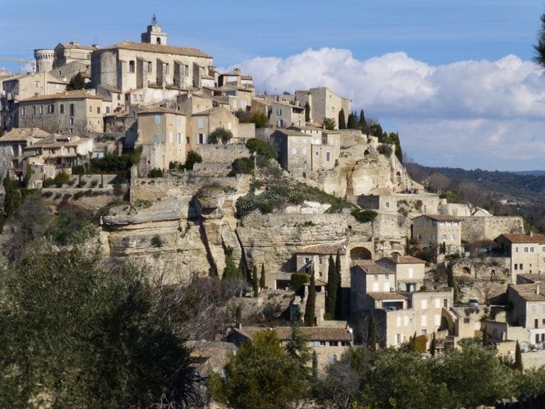
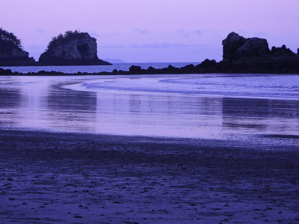
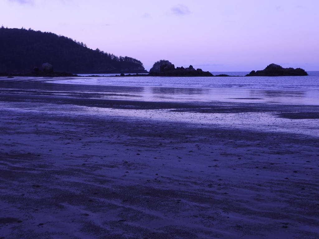
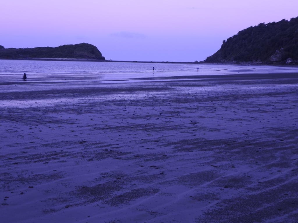
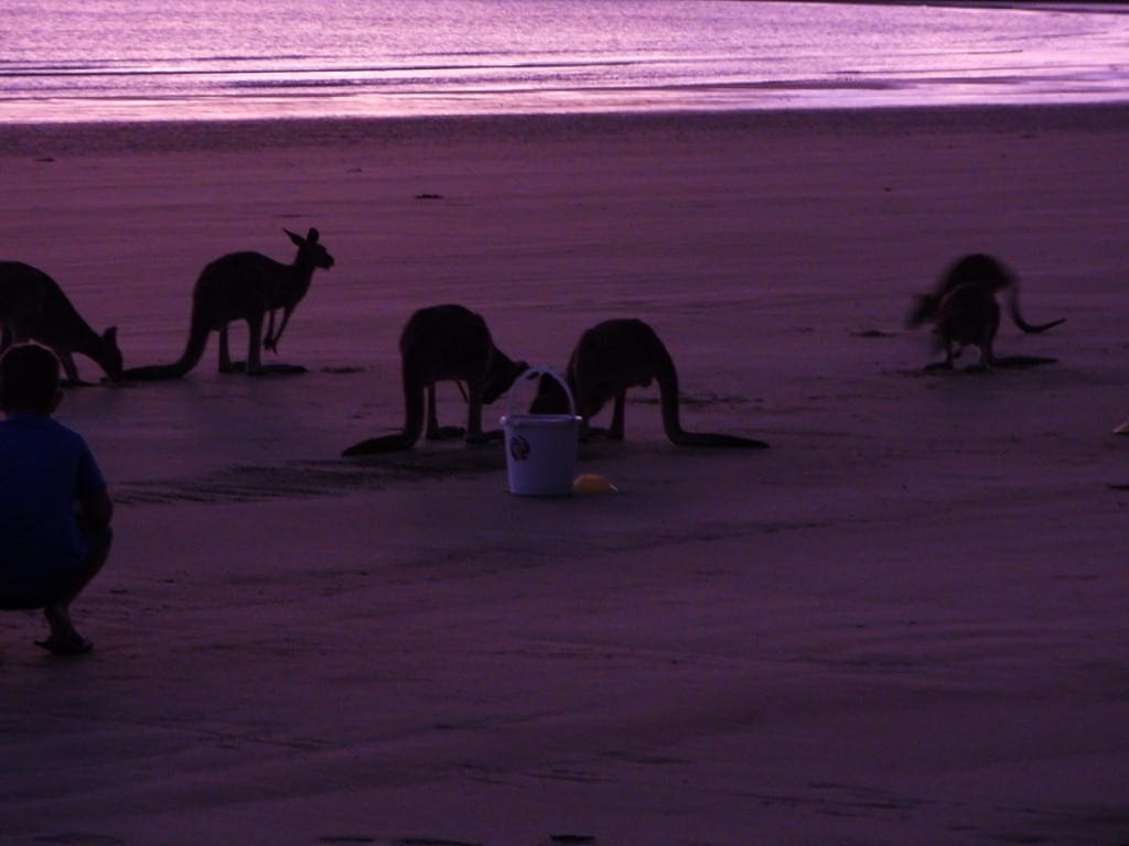
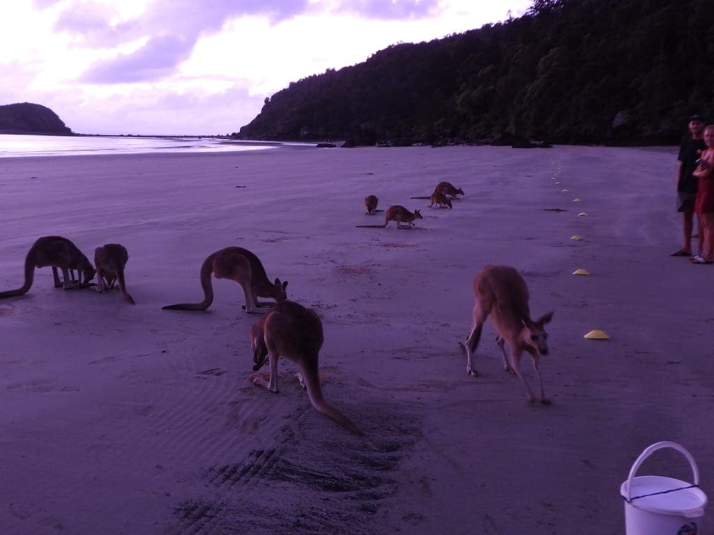
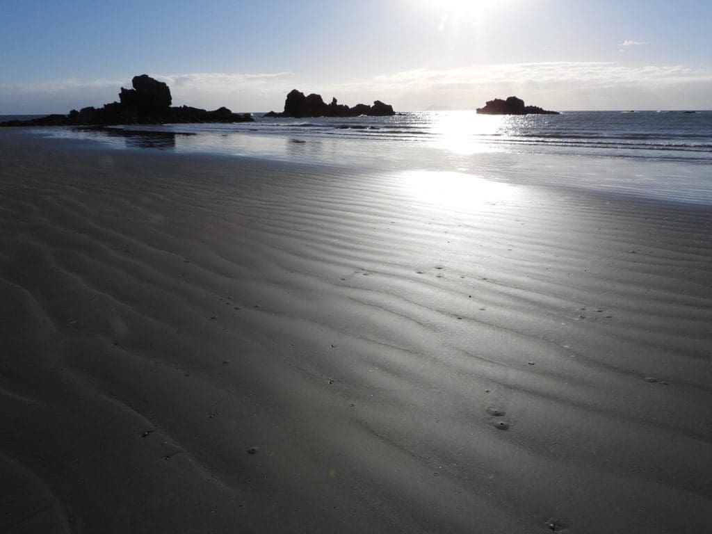
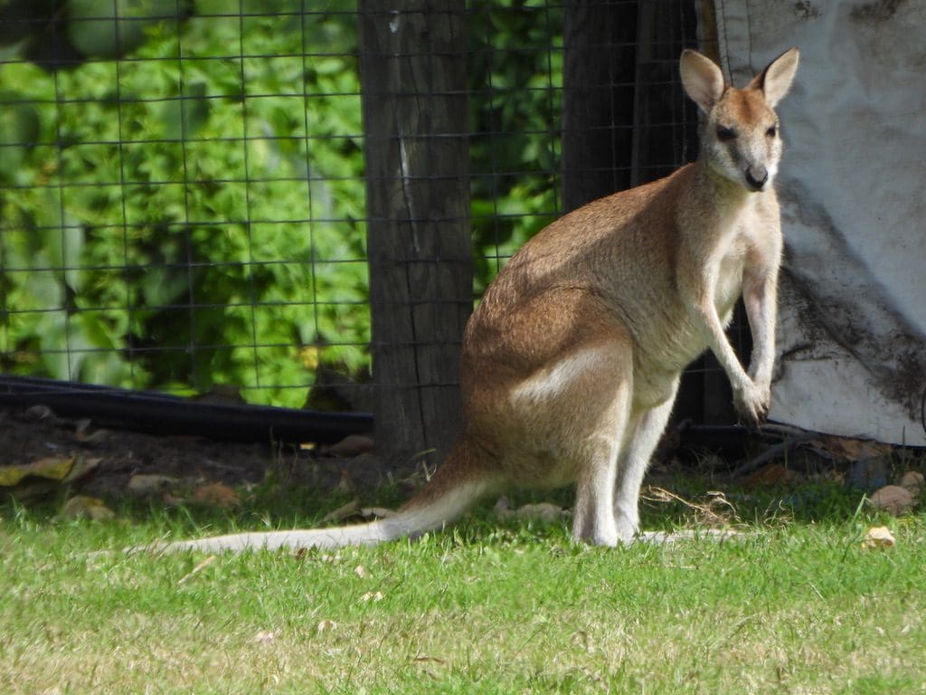
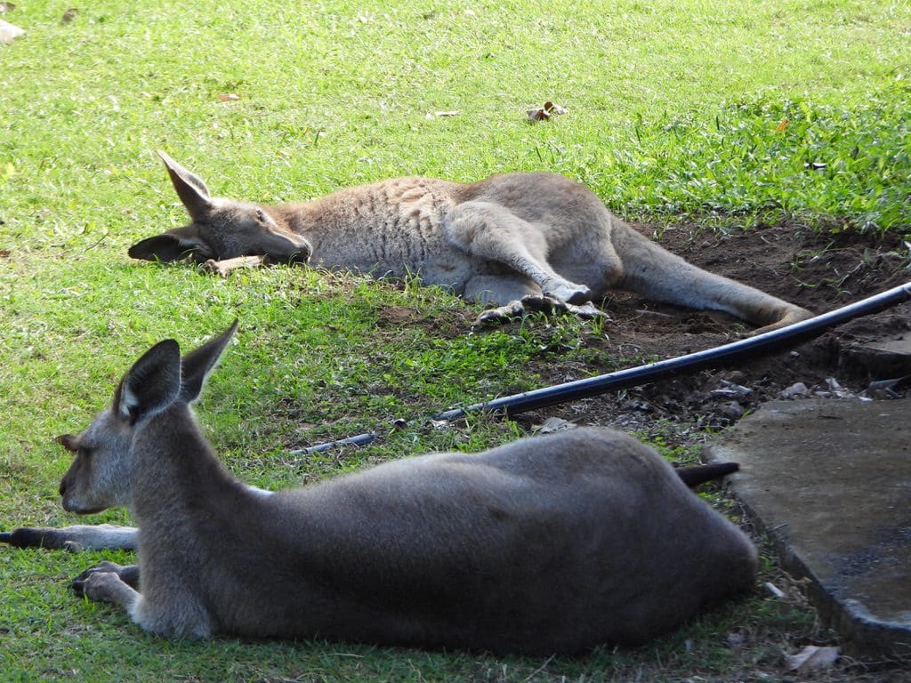
Thursday 13 May 2021. Day 27. Drove to Cape Hillsborough just north of Mackay. We are now on our way back. At Hillsborough, we are in a fairly shady spot and much shade is available. Quite a few birds, a brilliant beach and kangaroos lolling around in the campground. Much better.
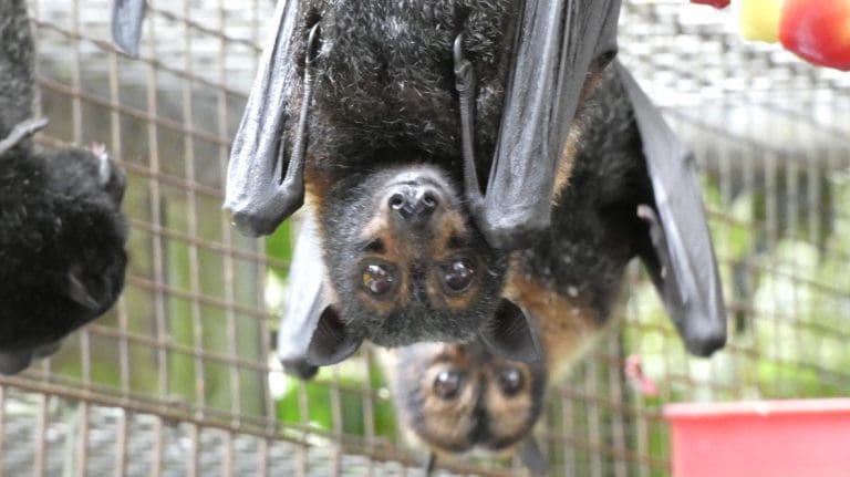
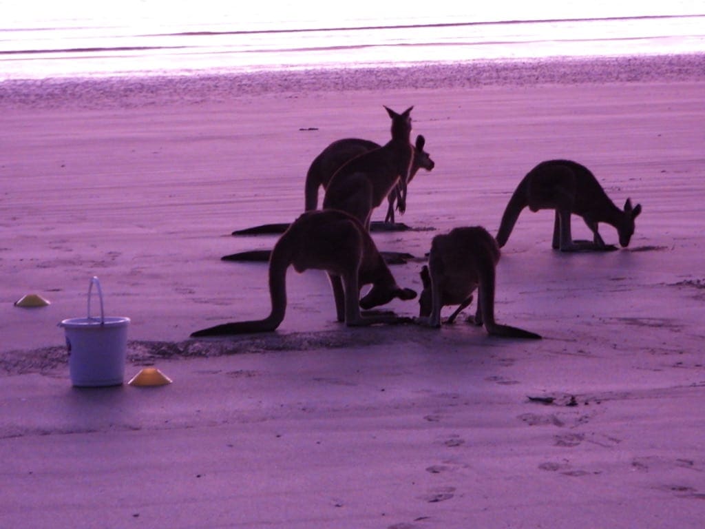
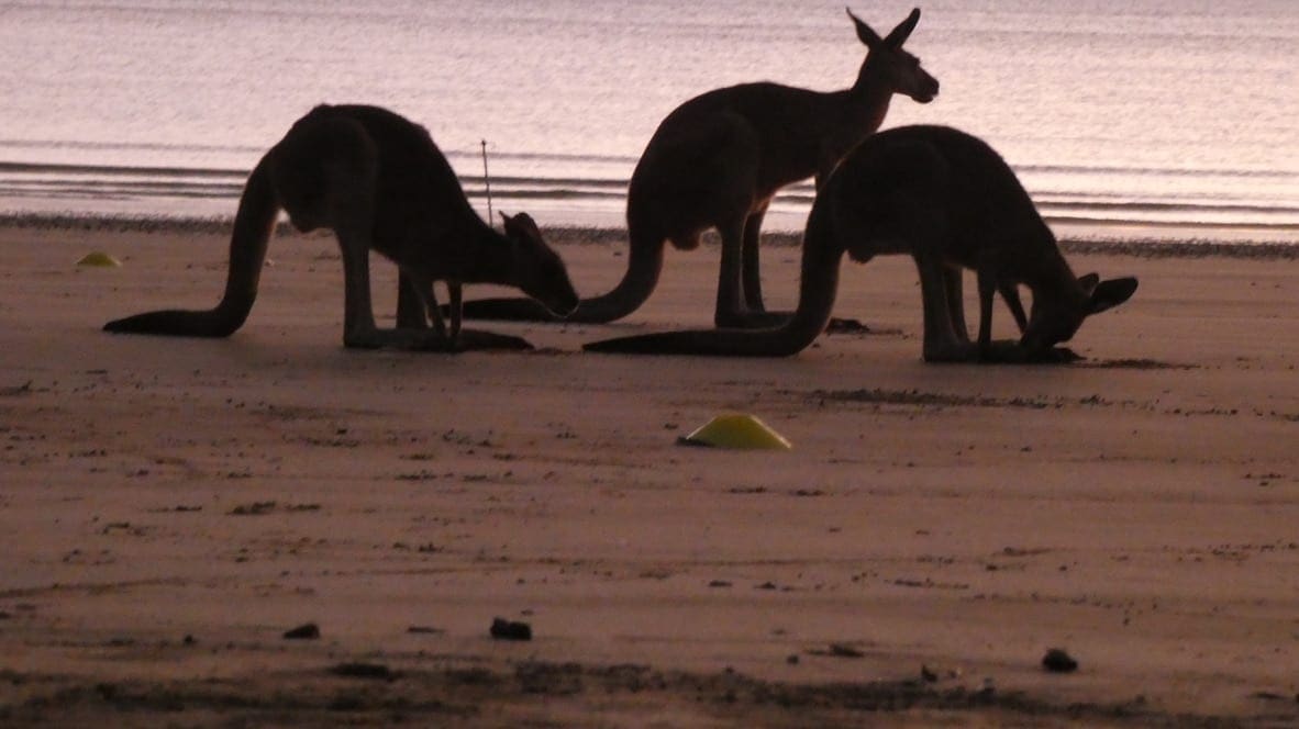
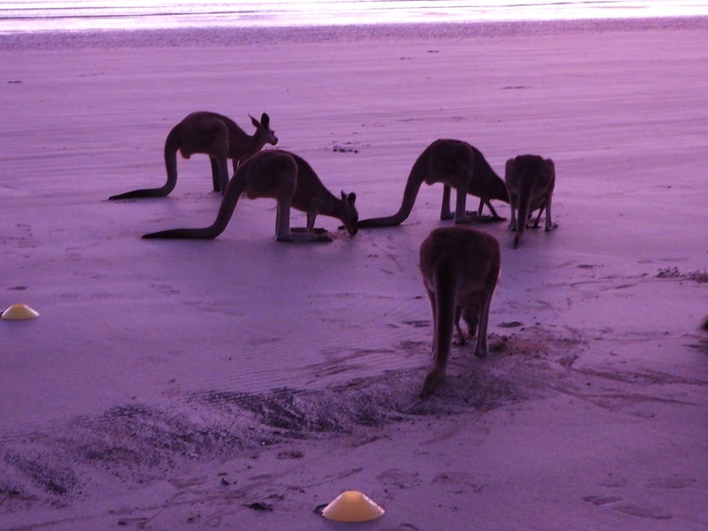
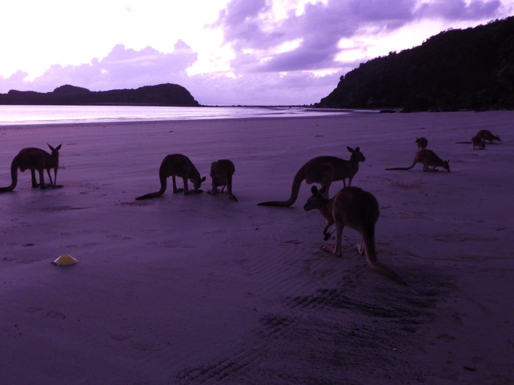
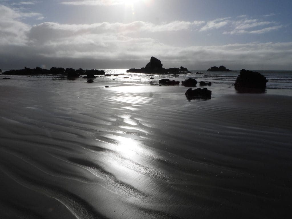
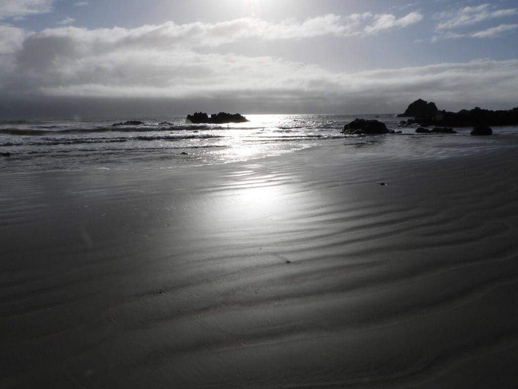
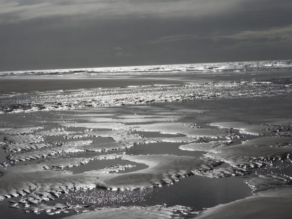
Friday 14 May 2021. Day 28. We will be at Cape Hillsborough until next Thursday. Much more pleasant – cool, shaded, birds and kangaroos. We got up for the feeding of the roos on the beach at 6am this morning – 5 roos and 4 wallabies today. After breakfast, we walked along the beach – an easy 5km walk along the double beach, tide was low at 6am (sun rise at 6:33am).
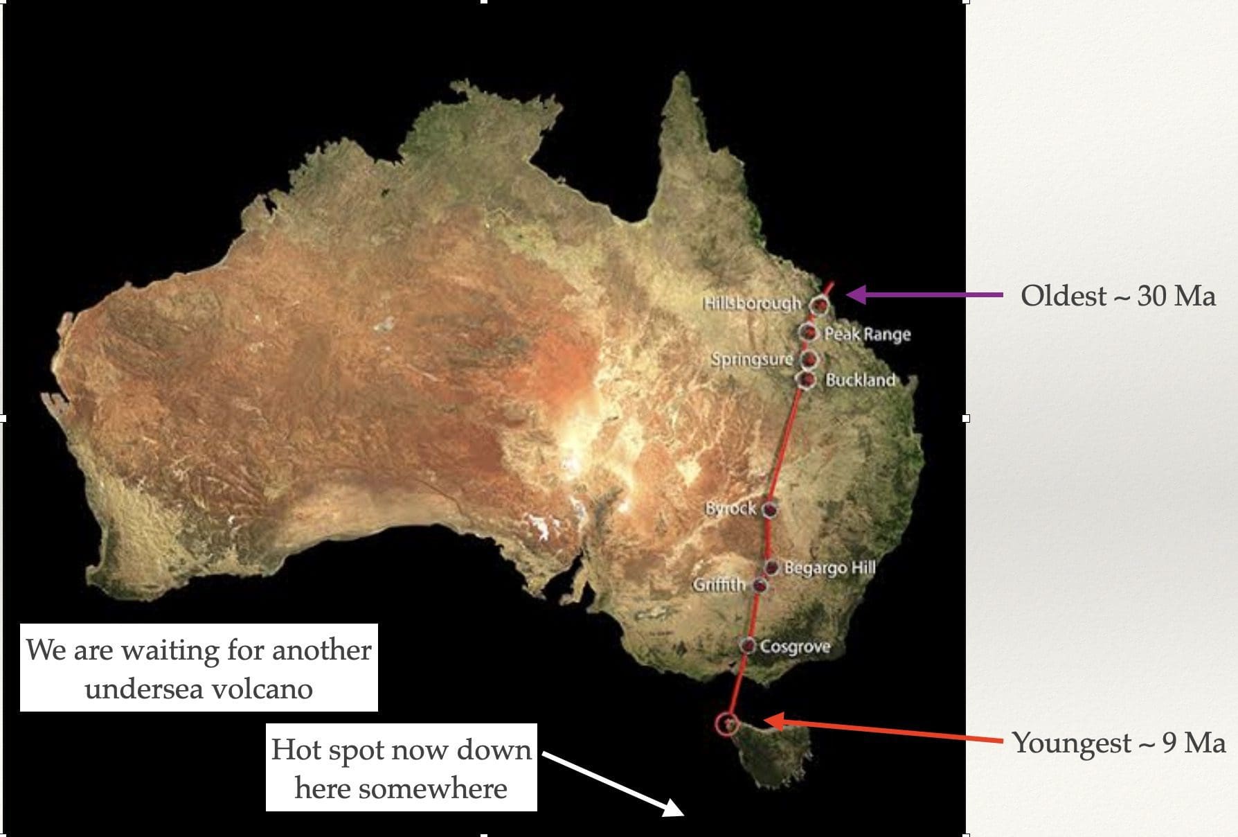
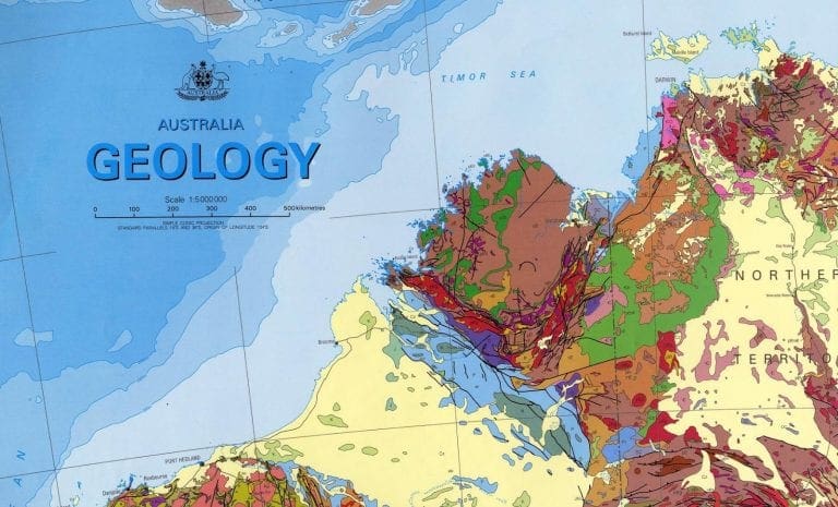
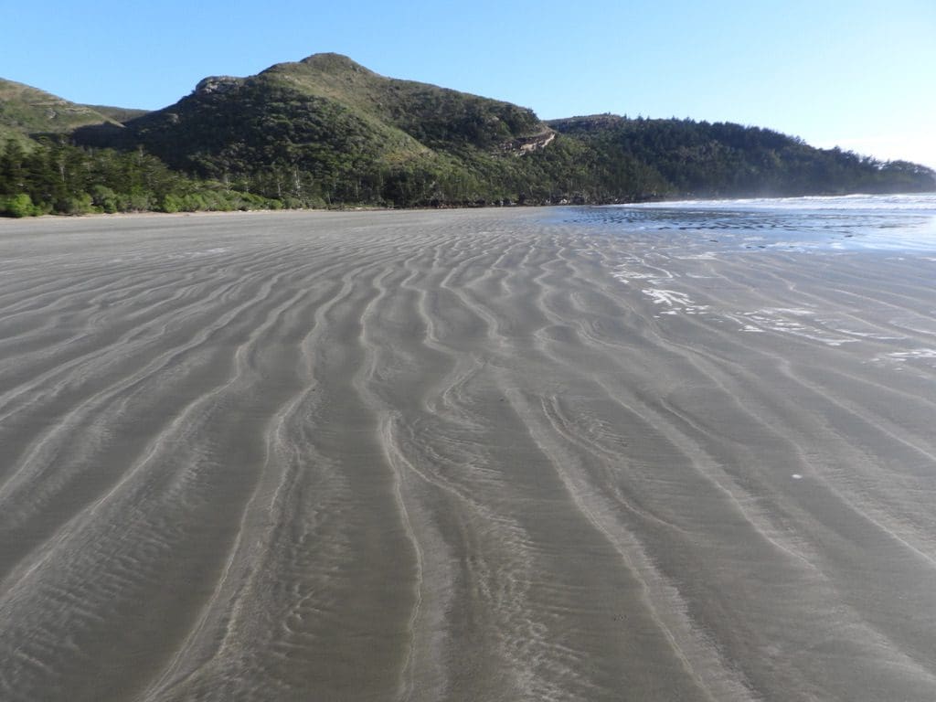
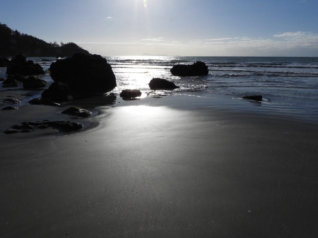
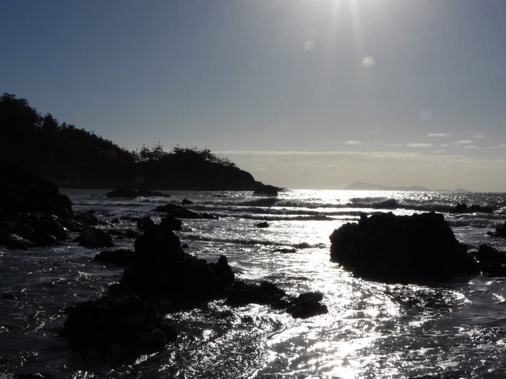
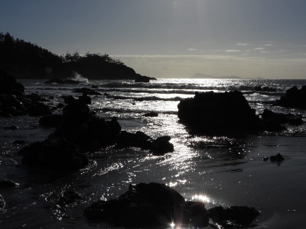
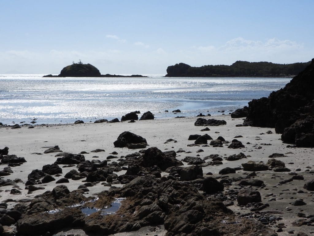
Hillsborough was the site of a hotspot volcano dated about 30 million years ago. As Australia drifted north on its plate at 7-15 cm per year, it was drifting over a place in the mantle that every now and then sent up some basalt. (The Hawaiian Islands are the best known example of hotspot volcanoes.) The Hillsborough hotspot track is the longest in the world and runs down through Springsure, Byrock, Griffith and Cosgrove in Victoria and is currently somewhere off southern Tasmania. We could see several phases of basalt – with earlier phases caught up in conglomerates that are wedged between bands of basalt. Pebbles on the SE end of the beach are secondary pebbles that had previously been rounded (on a beach or in a glacier) and them caught up in a conglomerate. They’ve now been washed out of that conglomerate and are rolling around on a beach waiting to form into yet another conglomerate.
Sand on Hillsborough and Mackay beaches. The beaches around Mackay are spectacular 150m plus wide flat beaches. Where did all the sand come from? To get sand you first need a granite – the only rock that breaks down to sand. To get a granite, you need a big mountain range (think Andes or Rockies) thrown up by plate subduction and much volcanic activity.The granite sits under the range as a failed volcano. Next weather and erode down the mountain range and then weather and erode the granite. Now you have sand. Might take a while to get this far. This mountain building, weathering and erosion all happened along the Queensland coast and that sand sat under the ocean just off the coast. Then, the sea level dropped and all that sand was exposed and blown into huge dunes – hence Fraser Island, Stradbroke Island, etc. When the sea level rose, it came with a strong northern offshore current – that swept that sand up along the coast to fill in many south-eastern facing bays – to give beaches in Mackay, Yeppoon and the Whitsundays.
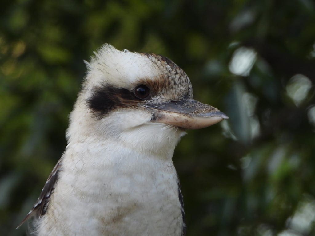
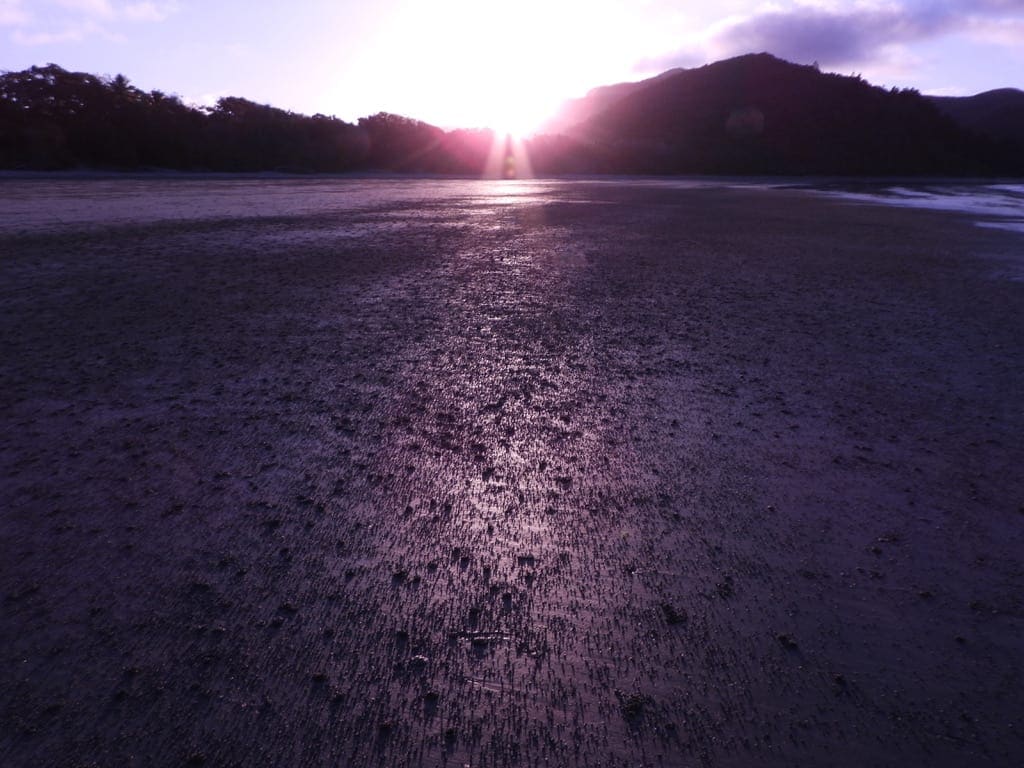
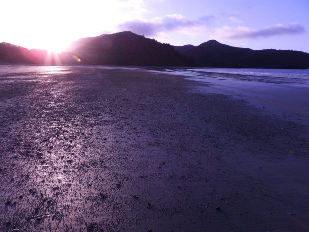
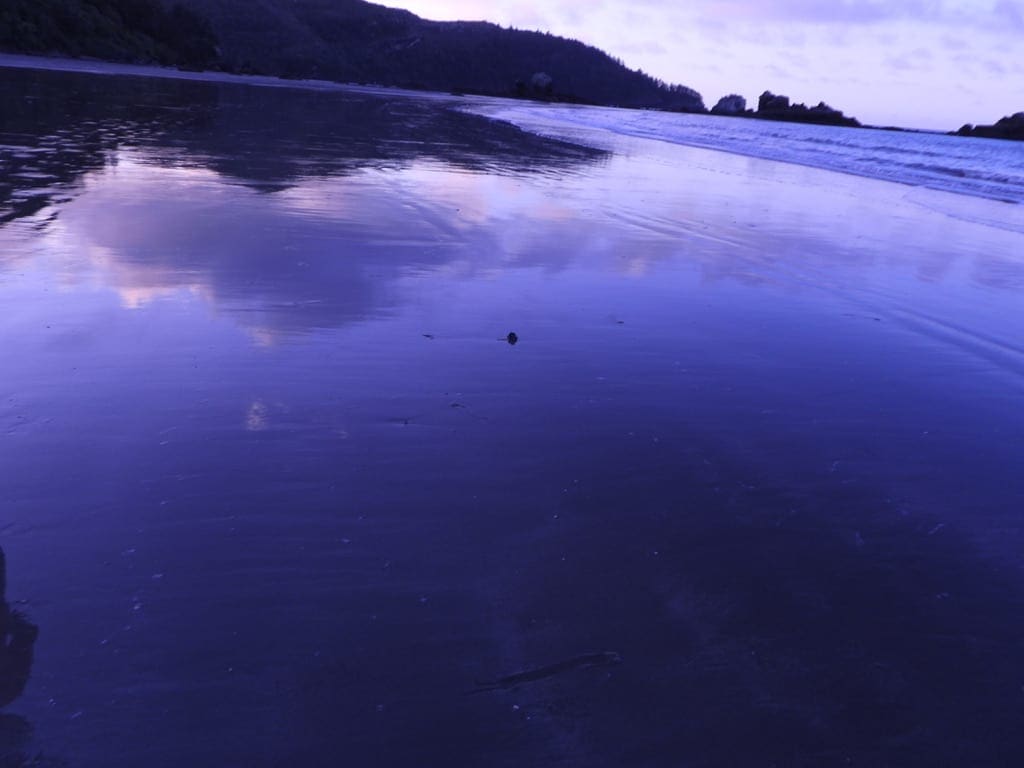
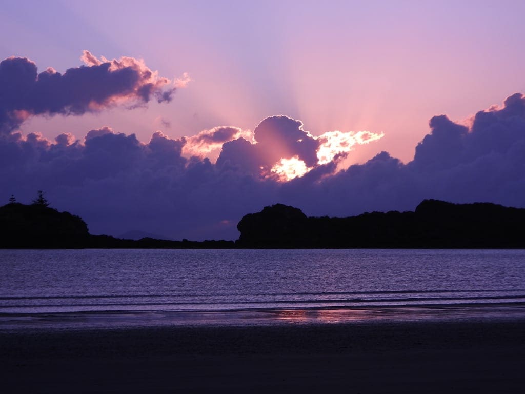
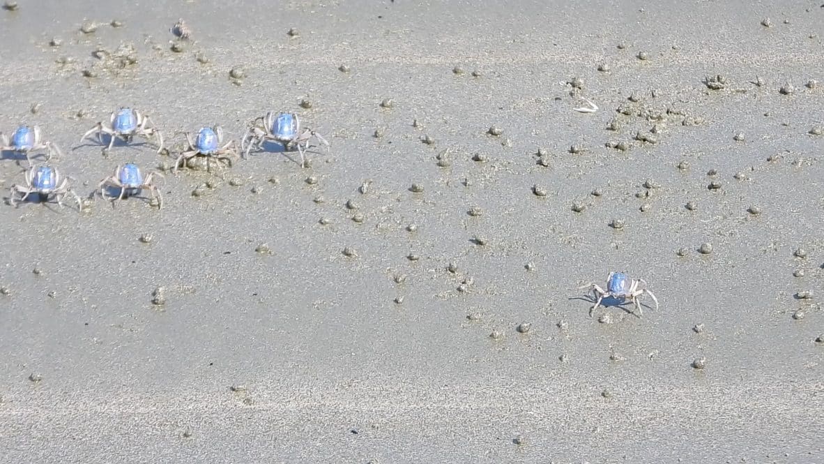
Cape Hillsborough Photos
")
")


")
Thursday 20 May 2021. Day 34. Drove 400 km to Beachside Caravan Park at Yeppoon. The drive along that section is extremely boring and hence dangerous. A narrow winding road with not enough places to pass slow traffic. Dangerous. At the vanpark, we are right against the beach. A strong SE wind makes it quite cold. Very good walking along the flat, wide beach.
Yeppoon Photos


")


")


Monday 24 May 2021. Day 38. Drove 271 km to Seventeen Seventy Holiday Village – an extremely nice campground – they have left a lot of trees in place which makes it very shady and sheltered. Bird rich – bush birds – hard to photograph.
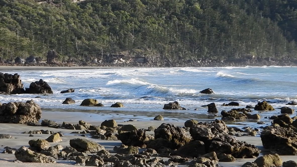
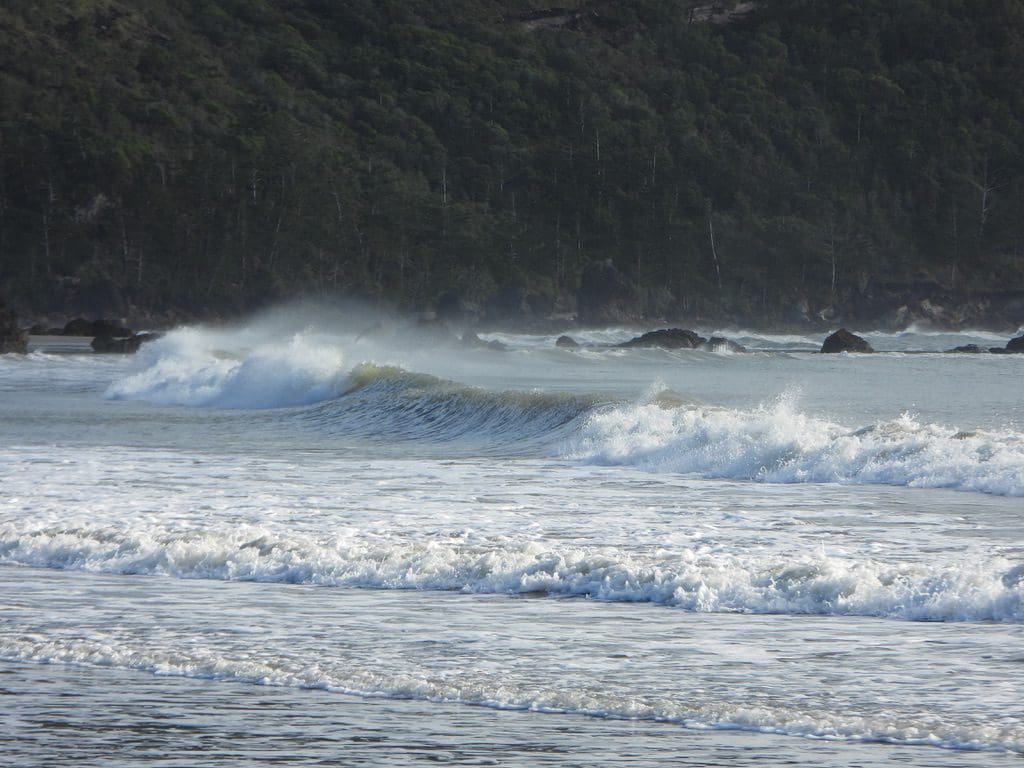
Tuesday 25 May 2021. Day 39. Walked along the 1770 beach which is on the seaward side of the peninsular that we are on. It is just over 1 km walk across a series of sand dunes to the ocean beach from the campground which is on the sheltered river side. Cook came into this river in 1770 on his way up the Queensland coast. Interesting that Banks would have seen the same mix of plants the we walked past along that road. The ocean beach is a ripper surf beach – an excellent break not far north of where the road comes to the beach. The beach is hard work to walk along – quite steep with softish sand. Only a 3 metre tide – which meant we were dodging water much of the way.
Wednesday 26 May 2021. Day 40. A walk along the track from the Cook memorial to the lighthouse. Many butterflies. Chose to walk along the road to get back.
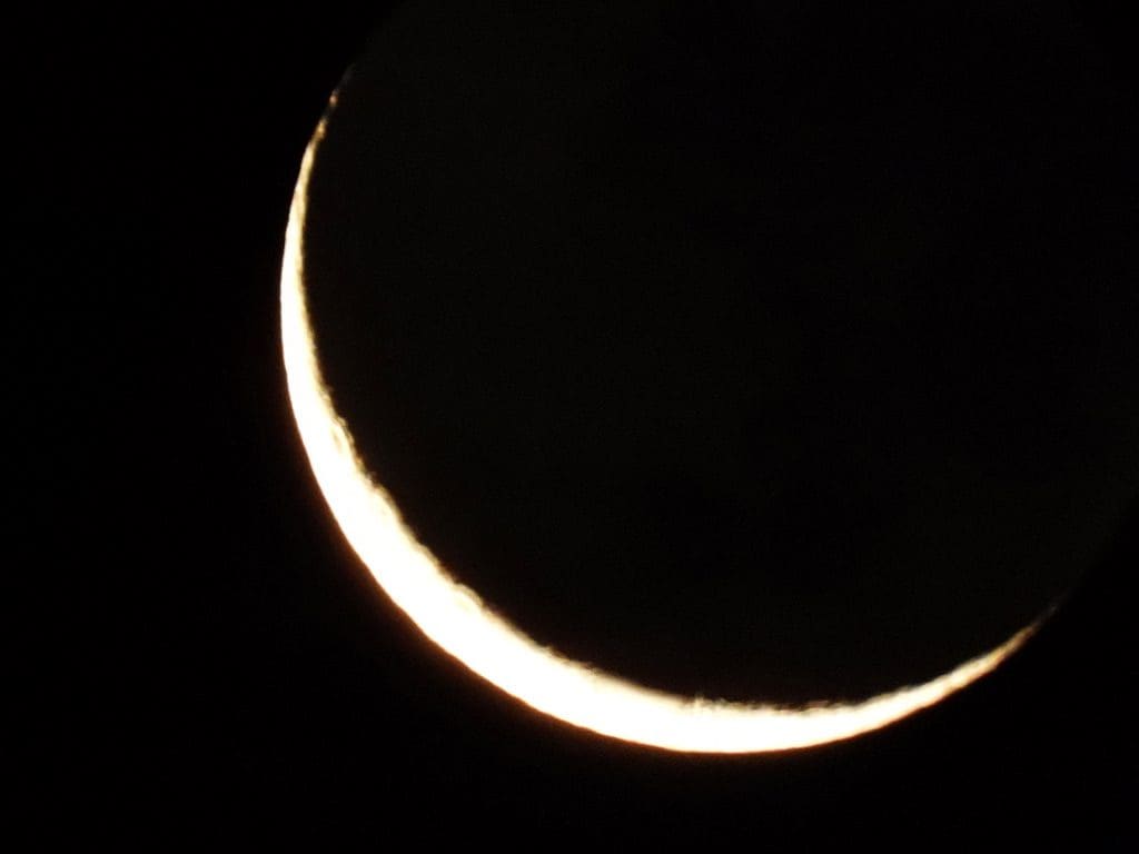
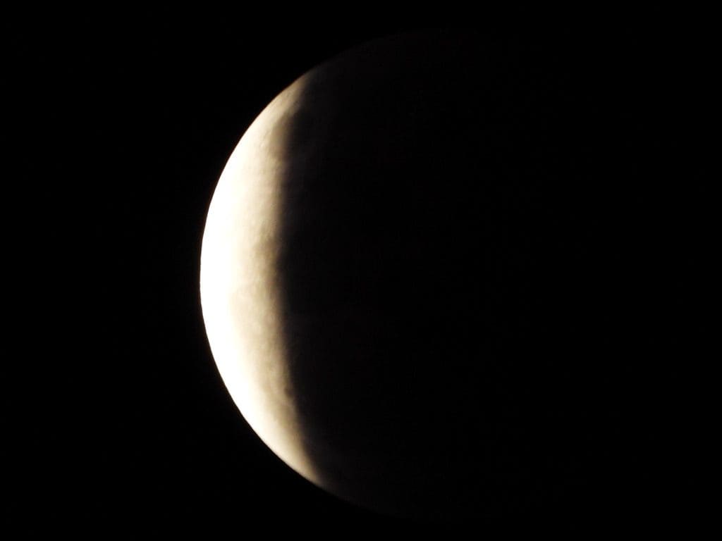
At night was the total moon eclipse – partial began at 7:44pm total began at 9:11pm with maximum at 9:18pm. I took a series of photos. The moon turned red during the total eclipse. However, my camera would not focus on the fully eclipsed moon, so all those are slightly out of focus. Almost lying down in my chair to get photos as the moon was almost straight overhead.
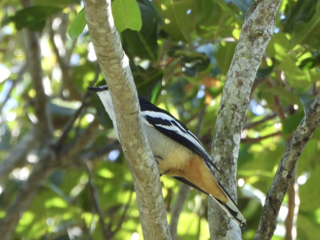
Although this campsite is fairly bird rich – friarbirds, lewin honeyeater, brown honeyeater, fig birds, orioles, grey fantails – there is not a deafening dawn chorus. The eucalypyts are not in flower, so we don’t have squabbling honeyeaters and lorikeets. Just individuals keeping contact with each other.
Thursday 27 May 2021. Day 41. Drove to Agnes Water after lunch to walk along that end of the beach at low tide. A pleasant beach kept wet from half way through the tide cycle by an influx of fresh water.
Seventeen Seventy Photos


")


Friday 28 May 2012. Day 42. Drove 220km to Biggenden. We have left the coast and the sandflies behind. We had been planning to go to Murgon but could not get in because of the Gomeri Pumpkin Festival. Biggenden looks to be on its last legs. Not many businesses still open in its main street. An interesting presentation of early settler families near the abandoned railway station on the abandoned rail line. There are quite a few rail trails in the area. This one, not yet.
Saturday 29 May 2021. Day 43. Drove 260km to Dalby. Initially through the south Burnett – moderately prosperous and farmed. Then, over a low pass near the Bunya mountains and we were on the Darling Downs – much more prosperous and more intensely farmed (sorghum, wheat and cotton). Dalby is a prosperous town. We are at the Dalby Tourist Park – a very nice van park beside the Myall Creek, a tributary of the Condamine River. We decided to stay two nights. In the afternoon, we walked around the very good walking path that closely follows Myall Creek. Many good bird photos. Quite cold overnight – something about very low humidity – so no nice blanket of moisture holding the earth’s heat. There are quite a few Victorians here who bolted from Victoria when they heard a lockdown was about to happen. Goodness knows what they have. I was a bit disturbed by all the coughing in the park this morning.
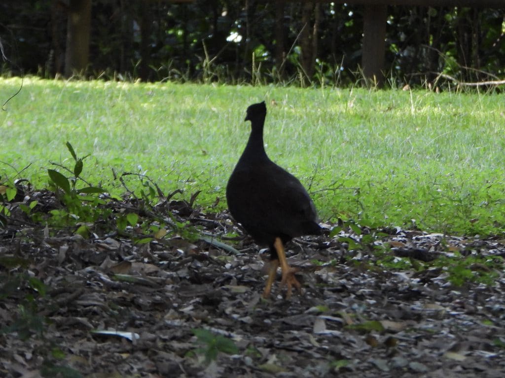
Sunday 30 May 2021. Day 44. Our second day at Dalby. In the morning we drove out to Lake Broadwater a 30 min drive south of Dalby. Quite a lot of water birds around the edge of the lake. Good photos. Lunch at Country Club Restaurant – very good.
Dalby Photos


")
")


")
")

")
")
")


As we’ve travelled on this trip, we discussed the difference between coastal and outback tourism. On the coast, it appears that little effort is made beyond fishing, golf and reef trips. Even to find out about local offerings is difficult. West of the ranges, much more effort goes into attracting tourist and then getting visitors to stay another day. We’ve always liked Bourke’s approach with its mud-map to yet another interesting place. In Biggenden, we were given a brochure on Northern Burnett – no matter which town in the northern Burnett you are in, the town next door has something amazing to attract you. Very well done. In Dalby, we were given a similar brochure (actually several). So many things to see around Dalby that you need at least a week here. In Mackay, there is a sign to the boat ramp – that is all that is needed.
Dalby Photos at Broadwater Lagoon


")
")


Monday 31 May 2021. Day 45. Frost this morning. Drove 200km to Goondiwindi. Staying at the G’day park in Hungerford St. Quite a few Victorians here who are in ‘isolation/quarantine’ after arriving in Queensland after a deadline. They do appear to be mixing quite well with everyone else. They also claim that many other Victorians who should be still here disappeared north today. We have a billabong at the southern edge of the van park. Many Magpie Geese and Plumed whistling ducks. It looks as though the Magpie Geese are here all day after feeding in the grain crops of a night. A walk along the level in town this afternoon. Extensive walking tracks.
Goondiwindi Photos


")


Tuesday 1 June 2021. Day 46. Drove 223 km to Narrabri at the Narrabri Big Sky Caravan Park. A significant change in road quality when we crossed the border to NSW – much wider and much better markings than Queensland. Maybe to show up Queensland’s very poor quality (narrow and poorly maintained). However, NSW could not quite keep up that very high standard along this very busy and heavily used road – almost, but many sections crossing floodways are still narrow. This chunk of country from just north of Goondiwindi through to here at Narrabri and further south produces a considerable amount of grain and cotton – huge crop this year. All that needs to be transported out. Hence the good road. The railway south of Moree is being up graded. This area was still under flood water when we were going north.
Wednesday 2 June 2021. Day 47. Drove 350km to Peak Hill at the Double D Caravan Park. I think the Double D is one of the best parks I have been in. Certainly, the friendliest owners – walking around talking to people and even provided a pancake breakfast. Highly recommended and added to our ‘will come back’ list of parks.
Victorian travellers. We were very surprised to find no COVID checkpoint at the Queensland border to check entering vehicles. From about Dalby south we kept coming across Victorians who had recently left Victoria and who were in quarantine. They were bitter about many of other Victorians who had a. bolted during the few hours between announcement of Victoria’s lockdown and its imposition; b. been put into quarantine and escaped as soon as the police had left. We were not surprised when a Victorian couple were found COVID positive on the Sunshine Coast having driven rapidly from Victoria.