Kimberley Trip 2017 – week 5
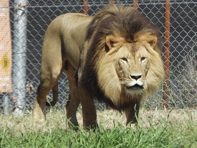
Thursday 25 May 2017. Day 29. Drove about 200 km from Parrys Lagoon to Warmun (Turkey Creek) 17º1’S 128º13’E. We called in briefly at The Grotto and checked the vegetation and birds around the top. Called in for fuel at Doon Doon and came onto Warmun which has an aboriginal community run roadhouse and store. Dry. Very clean and friendly. It is good to see the aboriginal enterprise. Had a good chat over lunch with a nice couple. The geology along the way is very complicated. We soon left the horizontal formations of the Kimberley Plateau to drive past steeply dipping rocks that have been pushed up and cooked by granite intrusions – all carved about by fierce wet-weather rivers.

Attitudes of traveller to the aboriginal populations is worth trying to interpret. Considerable resentment to those people who have taken ‘sit around money’ and are just sitting around. ‘Why are they not doing more for themselves?’ Alcohol has certainly wrecked many communities and is an ongoing battle. However, there is even resentment towards communities like Warmun which look to be trying to make its own way: running tours, roadhouse, helicopter flights, banning alcohol. ‘We (whities) used to be able to go into that area (or camp) for free, now they want to charge us.’ So, damned if they don’t do anything and damned if they do.

Friday 26 May 2017. Day 30. Drove 450 km to Fitzroy Crossing – an uninspiring and uninteresting drive almost entirely over a very thin soil/sand that supports little vegetation. Sometimes the tallest lifeforms are spinifex and termite mounds. Through Halls Creek and past the Tanami Desert turoff. A few ranges in the distance. About 100km before Fitzroy Crossing, we dropped about 50m down from the plateau we had been on, down to the vast floodplain of the Fitzroy River, one of the big three in the north: Victoria, Ord and Fitzroy Rivers.

We are at the Fitzroy River Lodge which is a nice, large, grassy campground. Right next to us is a pool of water on the road that many birds used during the day – especially the double-bar finches. We are at 18º12’S 125º35E. Tonight is the first night that we have been able to sit outside at night without being eaten by insects or too hot.

Saturday 27 May 2017. Day 31. Good birding by the river early in the morning (before 6:45am): red-browed pardalotes, pallid cuckoo, restless flycatchers. The flood along the river rushes out of its banks most years and it looks as though the van park is well prepared by putting its buildings up either on stilts or on hills. However, last year, the river began to change its course and has removed part of the bank. Overnight here, fellow campers had fuel siphoned from their jerrycans. Expect park and most van parks in the north to be done over each night. Difficult to prevent.
 |
| Derby wharf waiting for its tide |
Sunday 28 May 2017. Day 32. Drove 250km to Derby – all the way on straight roads over the flat floodplain of the Fitzroy River and mostly very uninteresting – though one of the wattles is about to flower. Derby is a very tired little town on a narrow spit of slightly firmer land adjacent to huge mudflats. World record king tides sweep across to mudflats and (because they are very strictly regulated tides) just avoid wetting the town. Derby was a port for cattle export. Now, it is a service and admin centre for aboriginal people. And, it is very, very bloody hot.
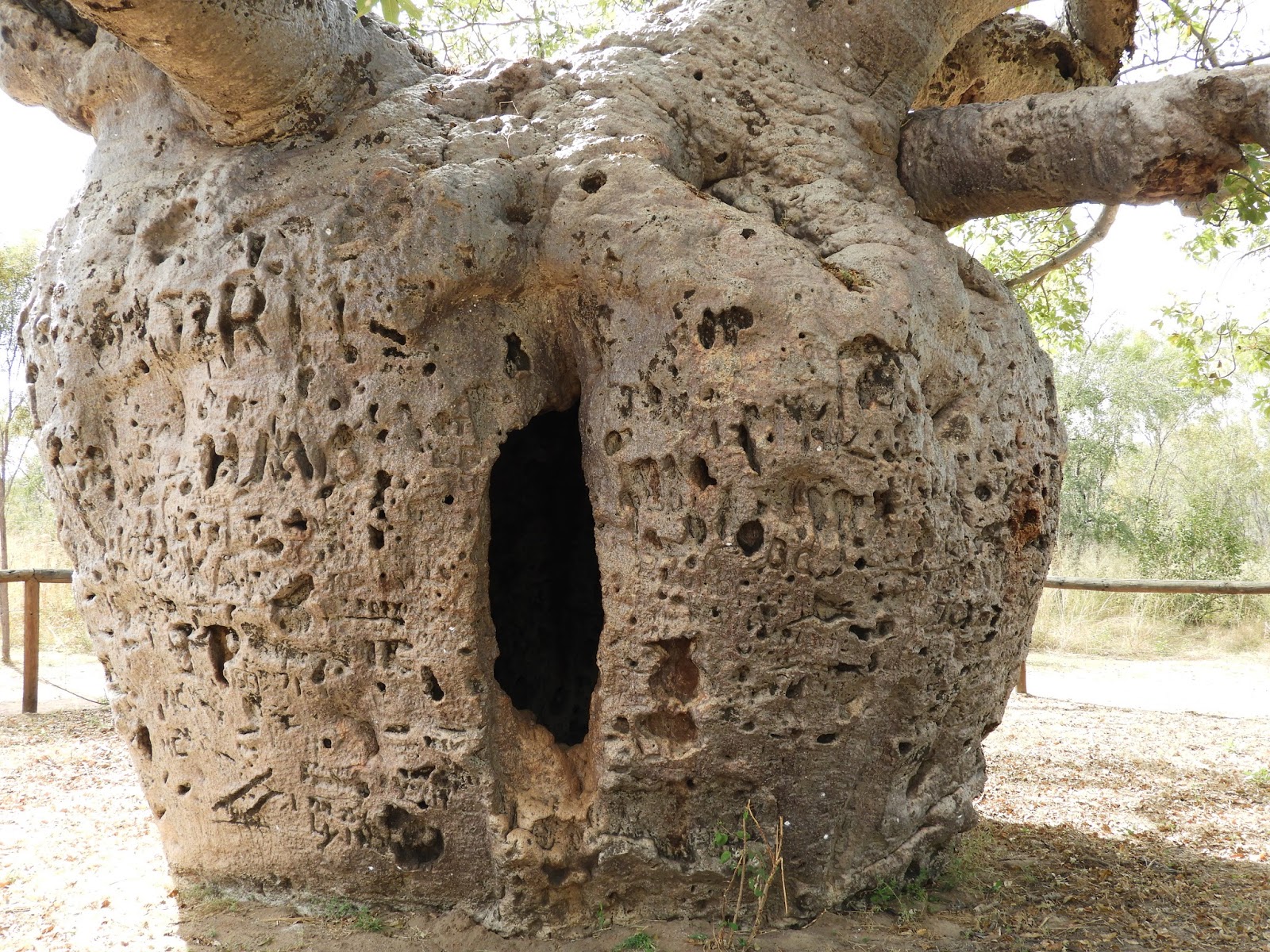
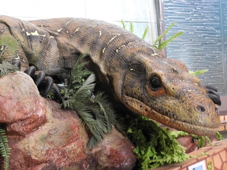
Monday 29 May 2017. Day 33. An uncomfortable and hot night made much more difficult by an invasion of very small biting ants. I have withdrawn my friendship and support for those ants. We visited the Boab Prison Tree where whites kept uncooperative aboriginals who were being moved out of The Kimberley. Then to Mowanjum Art and Culture Centre which has a very good display of Wandjina and a good movie. Out to lunch at the Wharf Cafe for a very good feed. Had the tyres on the car rotated, balanced and aligned.
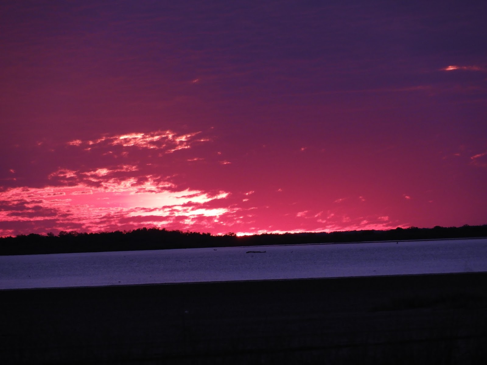
Not quite so hot, but still too bloody hot. Another good sunset. The time between ‘civil dusk’ (when the orb of the sun drops below the horizon) to ‘astro dusk’ (when no light from the sun obscures the stars) is just 53 minutes.
Tuesday 30 May 2017. Day 34. Drove 210km to Broome. We are camped at the Broome Gateway Van park which is actually 28 km east of Broome. The Broome Gateway is a little sparse and does not have power – but it will let us store our van here, which we will do several times over the next month. We drove in to inspect Broome which is a largish bustling tourist destination which has made quite a name for itself.
 |
| Hands behind back and pantaloons |
Broome has no other industry (though of course it is the usual aboriginal service and administrative centre – even has its own gaol). Pearling shut down years ago (when plastic buttons were invented). Many green tree-frogs in the shower. Dingos howling at night. Excellent! We’ve had dingos howling at most night stops north of Alice Springs.

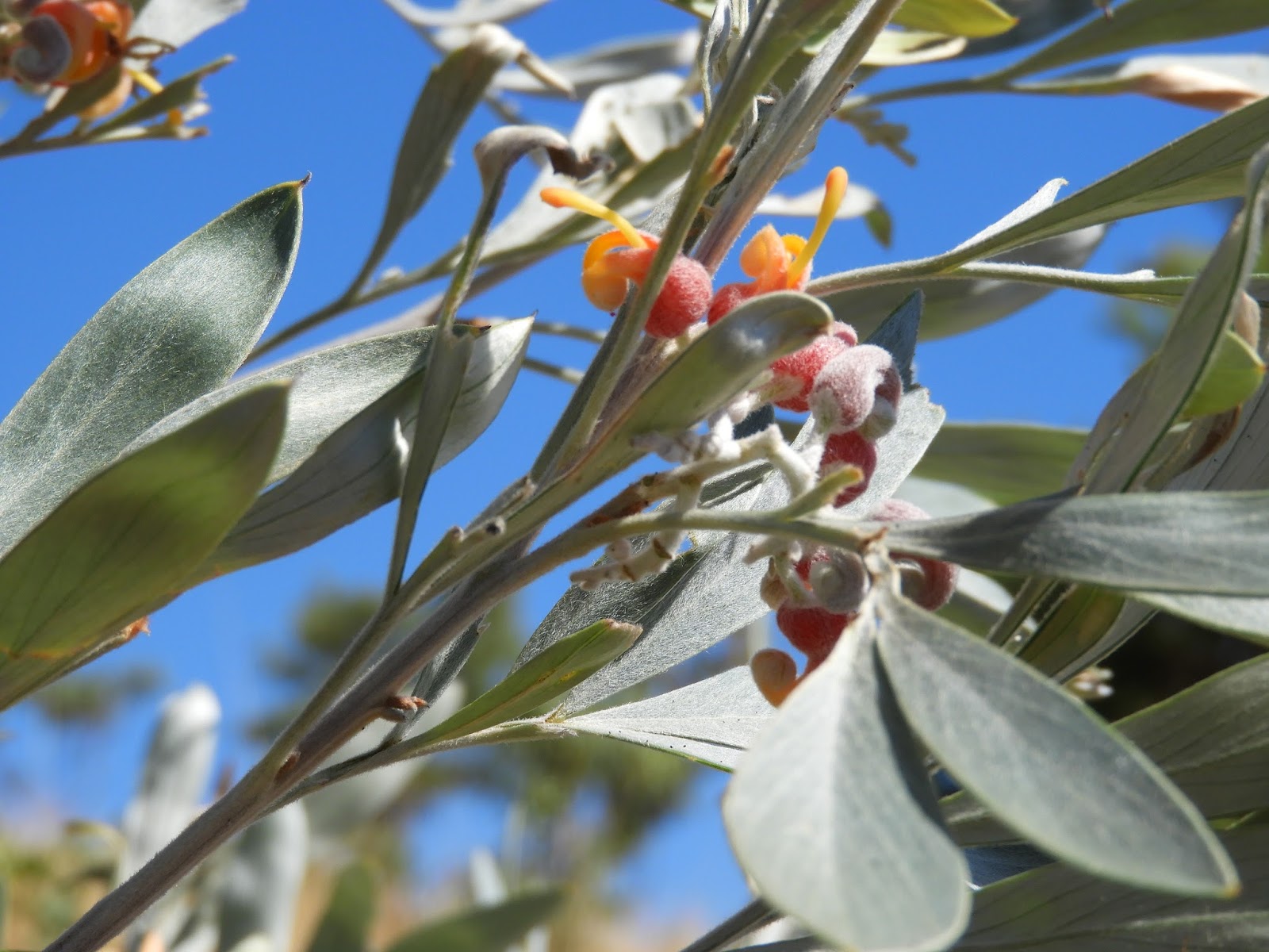
Wednesday 31 May 2017. Day 35. A definite day off. Into Broome for lunch. The flower left is a hakea – and it is green and large.