Coates 15 Day Gibson Desert Trip Alice to Perth June 2023
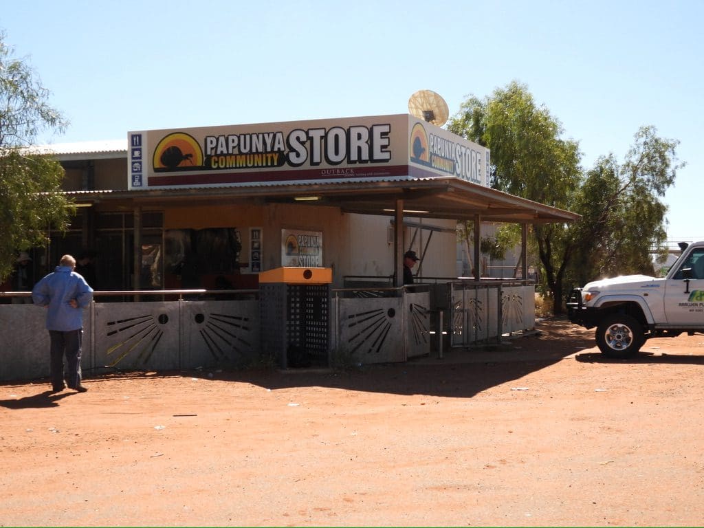
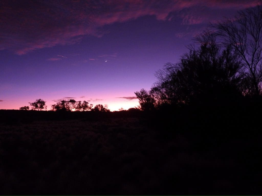
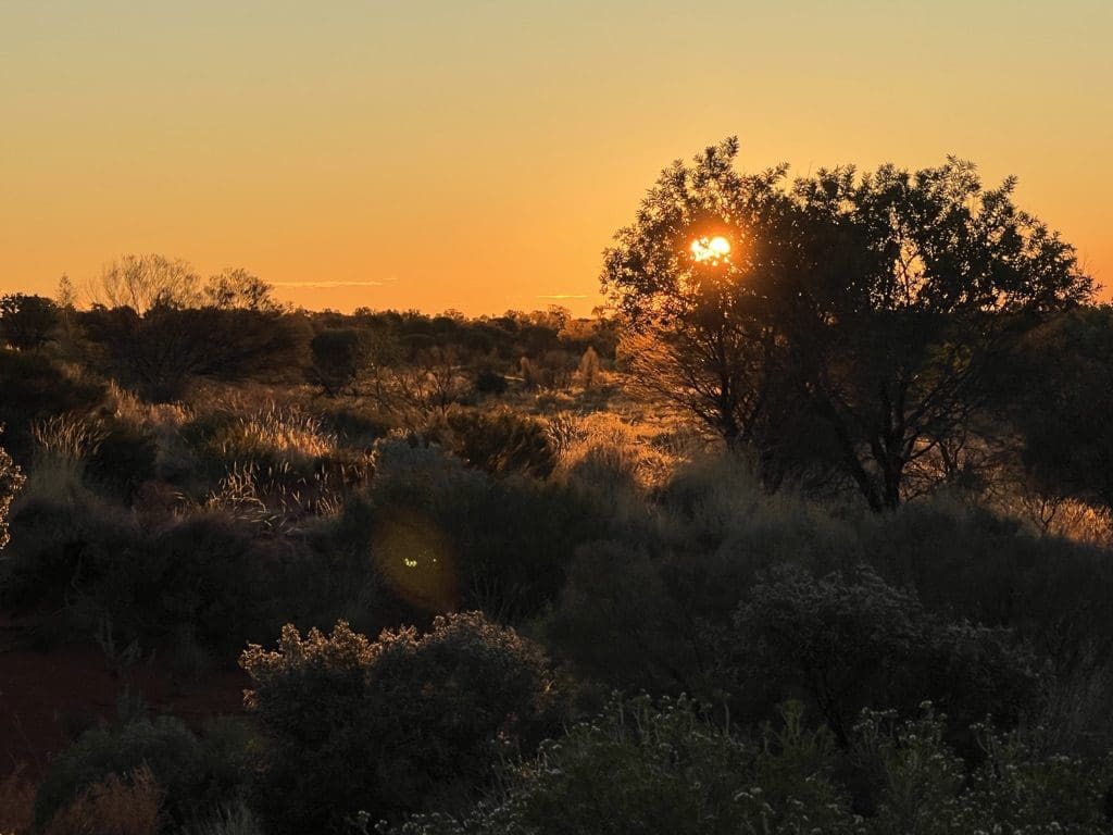
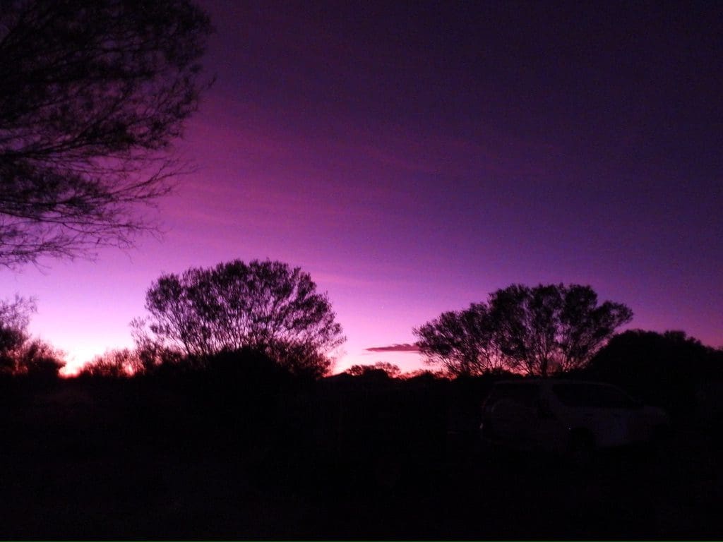
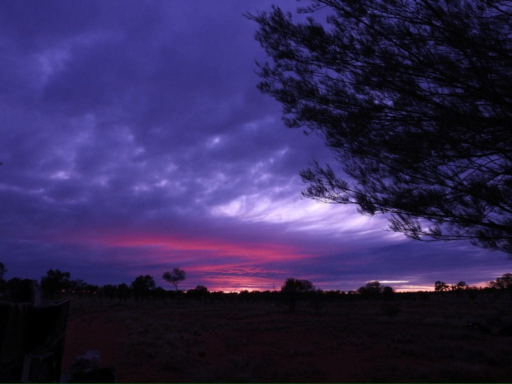
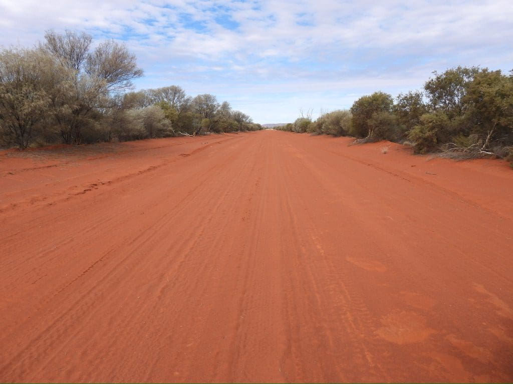
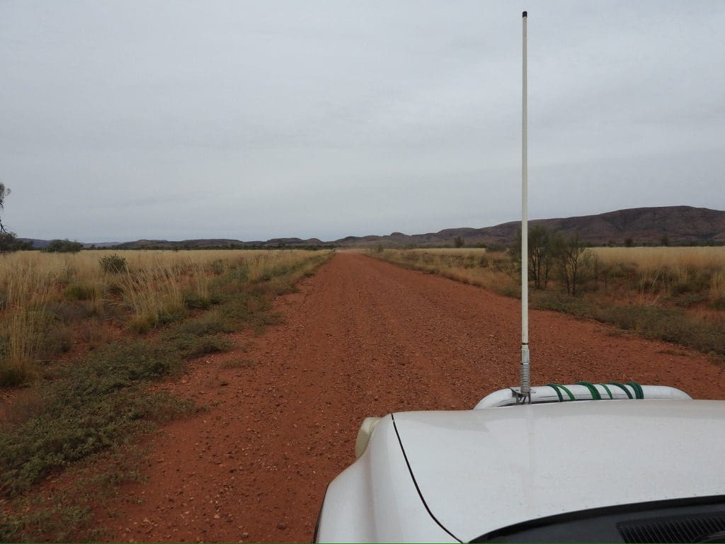
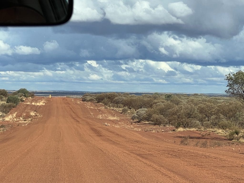
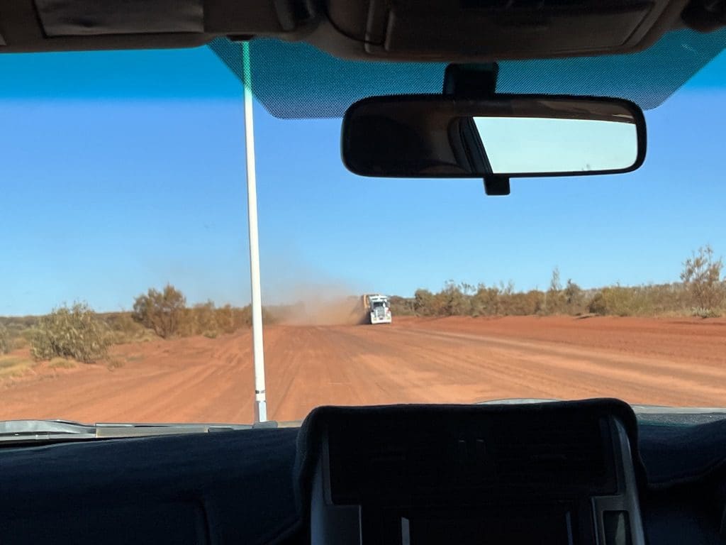
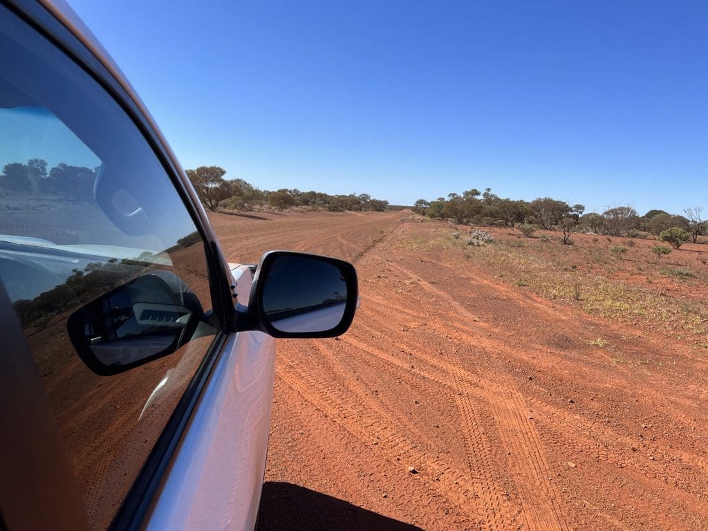
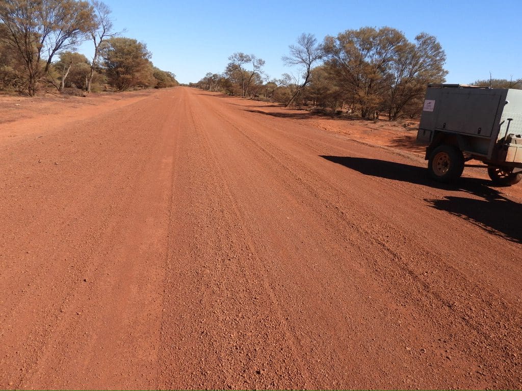
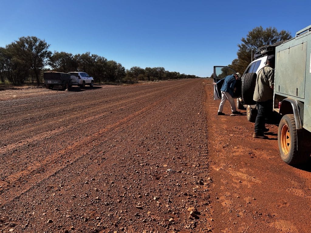
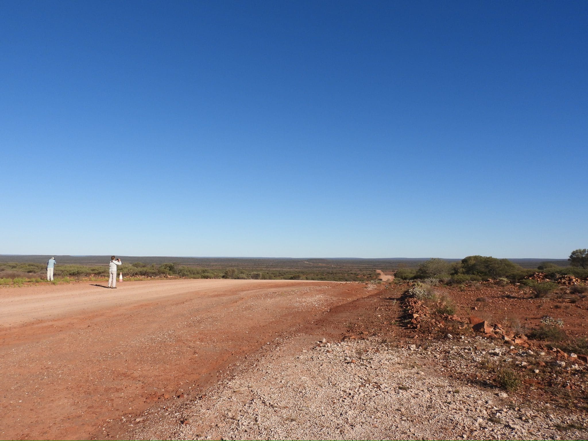
Wednesday 14 June. Day 1. Our pick up was 7:15 and we had left Alice by 8. Drive north along the bitumen Tanami Road till the dirt of Papunya Road – very badly corrugated. Very disorienting and very hard to hear anything inside the car. Lunch at Papunya. Continued driving with few stops over a very corrugated road until just after 3:30 when we began looking for a campsite. Found a spot at Lizard Bore at about 4:15. (A more normal stopping time and very different from Diana who stopped often and stopped late for camp – at dusk.) A magnificent starry sky during the night. Splendid views of the Milky Way and its Emu.
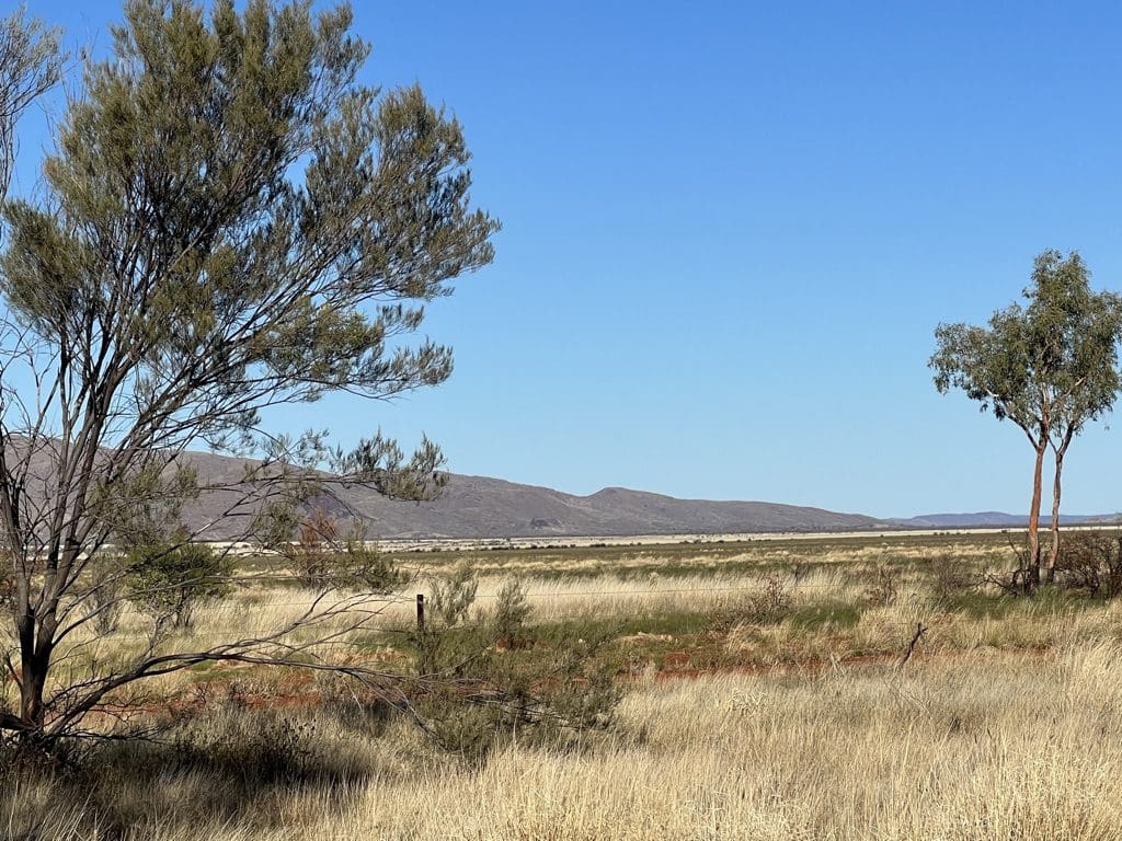
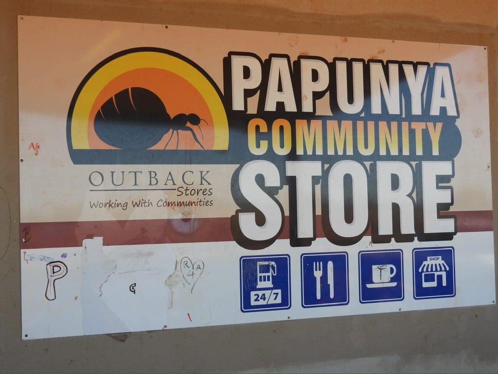
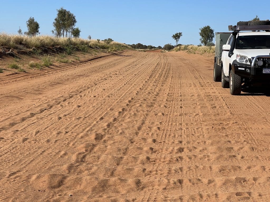
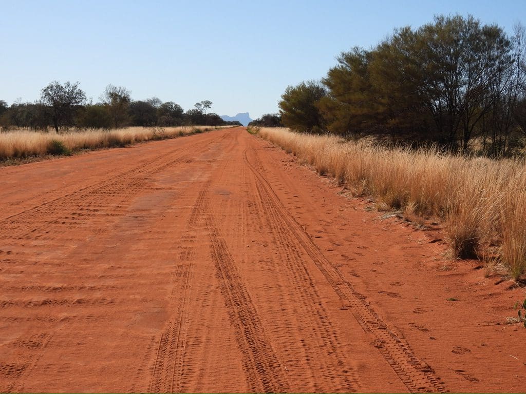
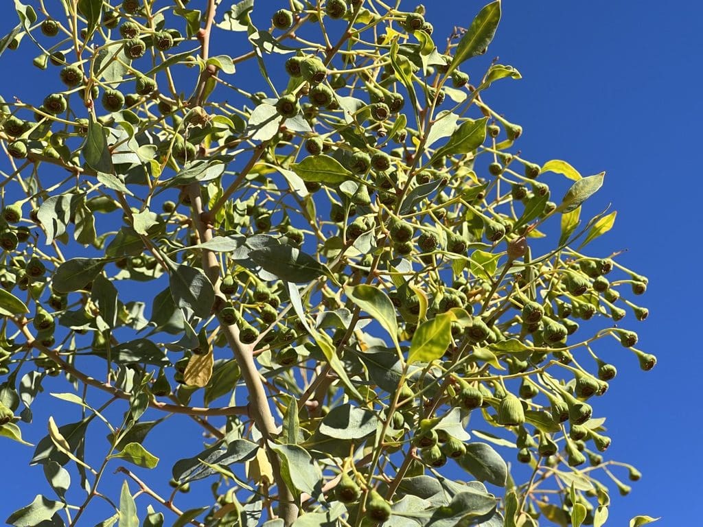
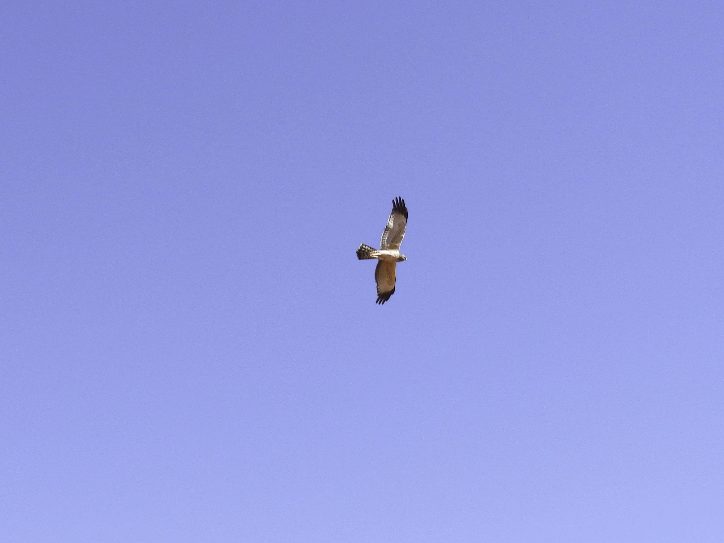
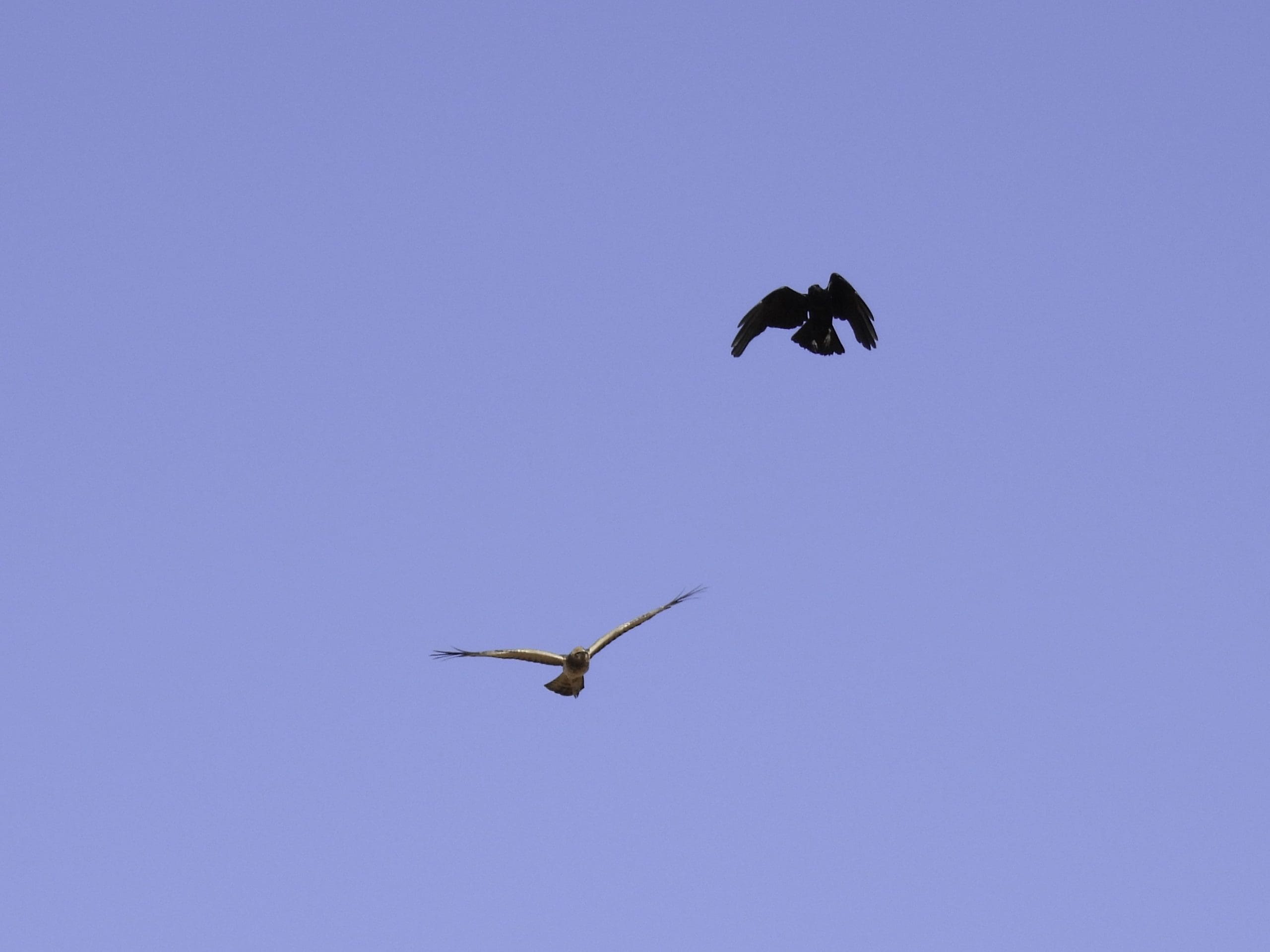
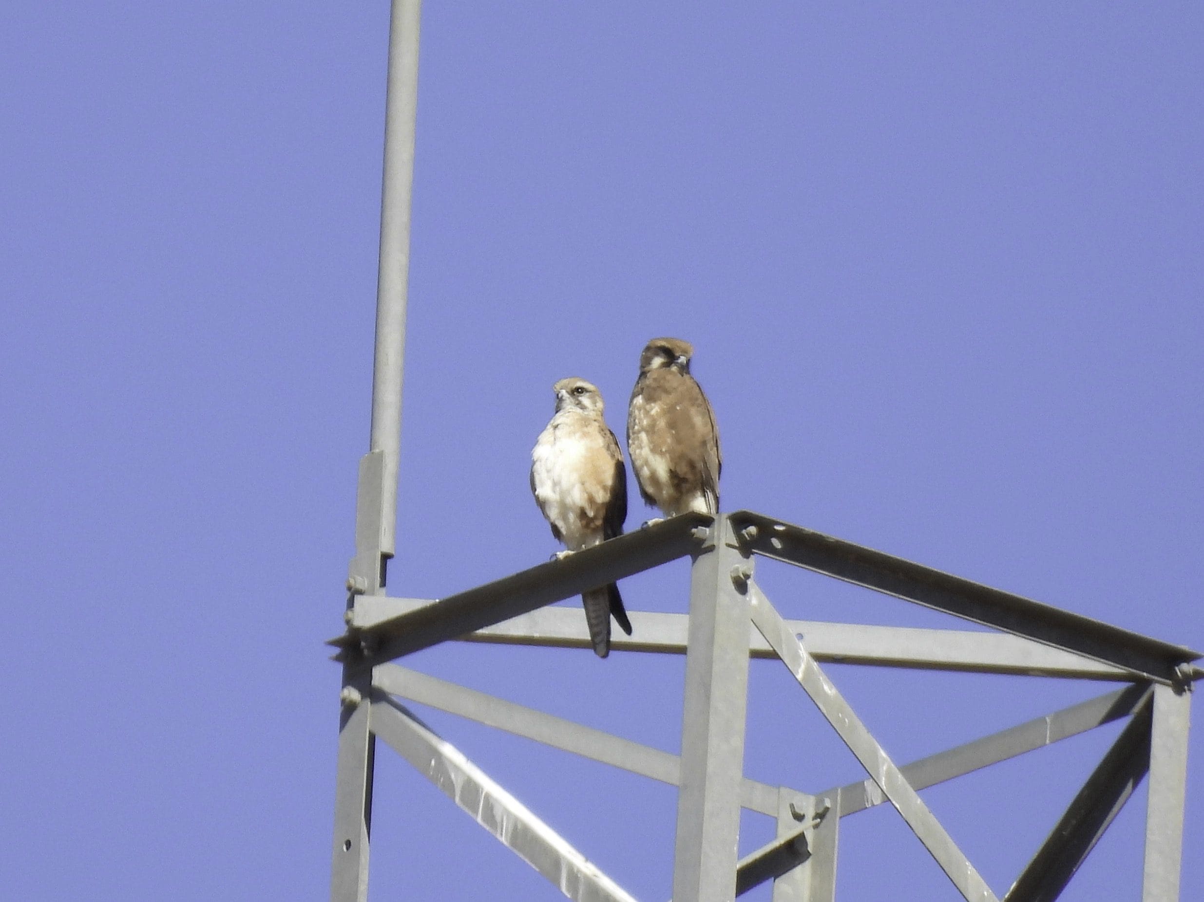
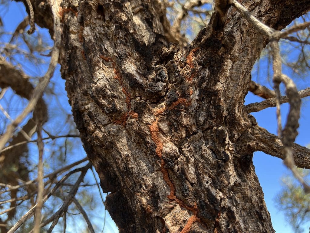

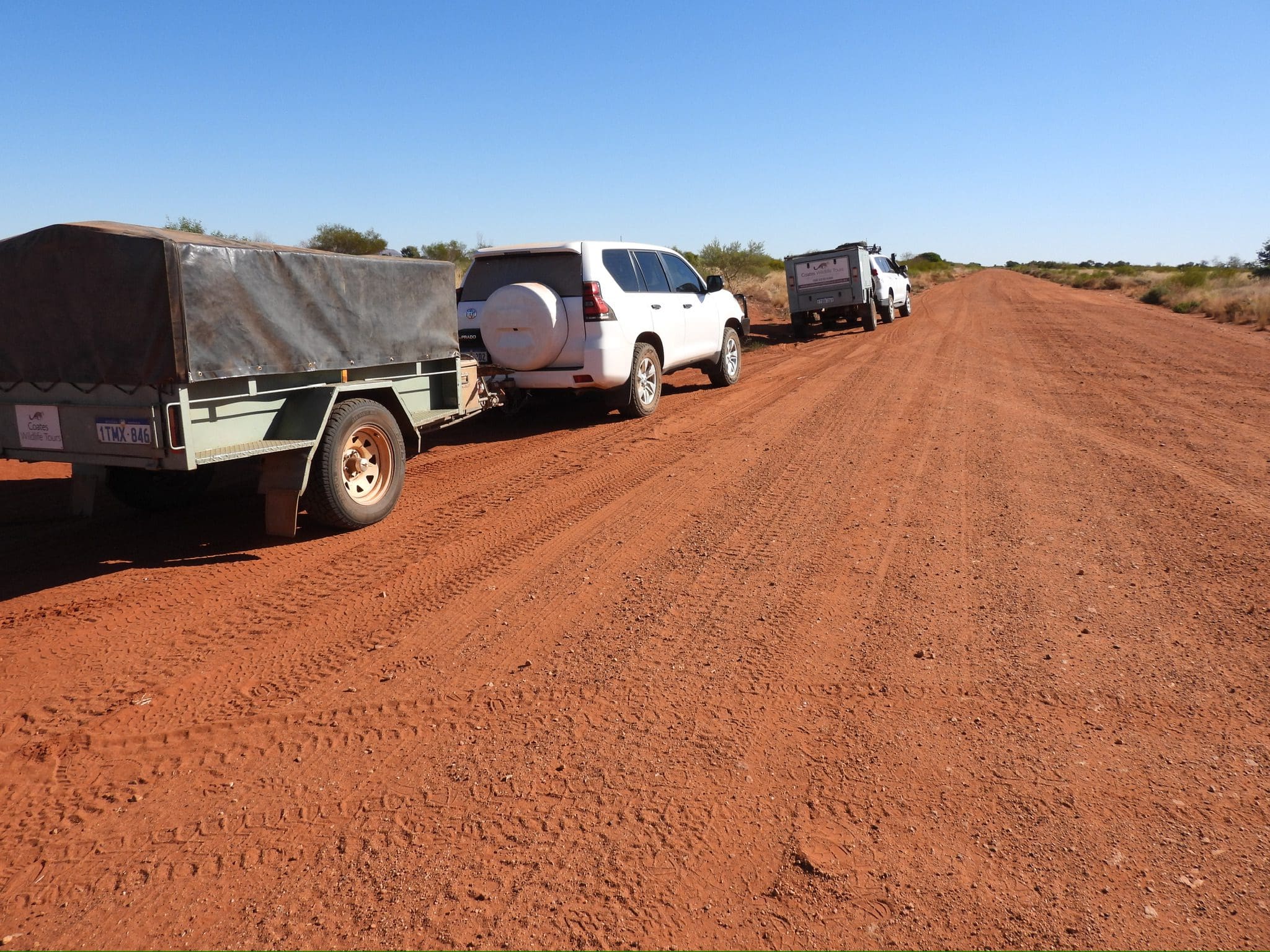
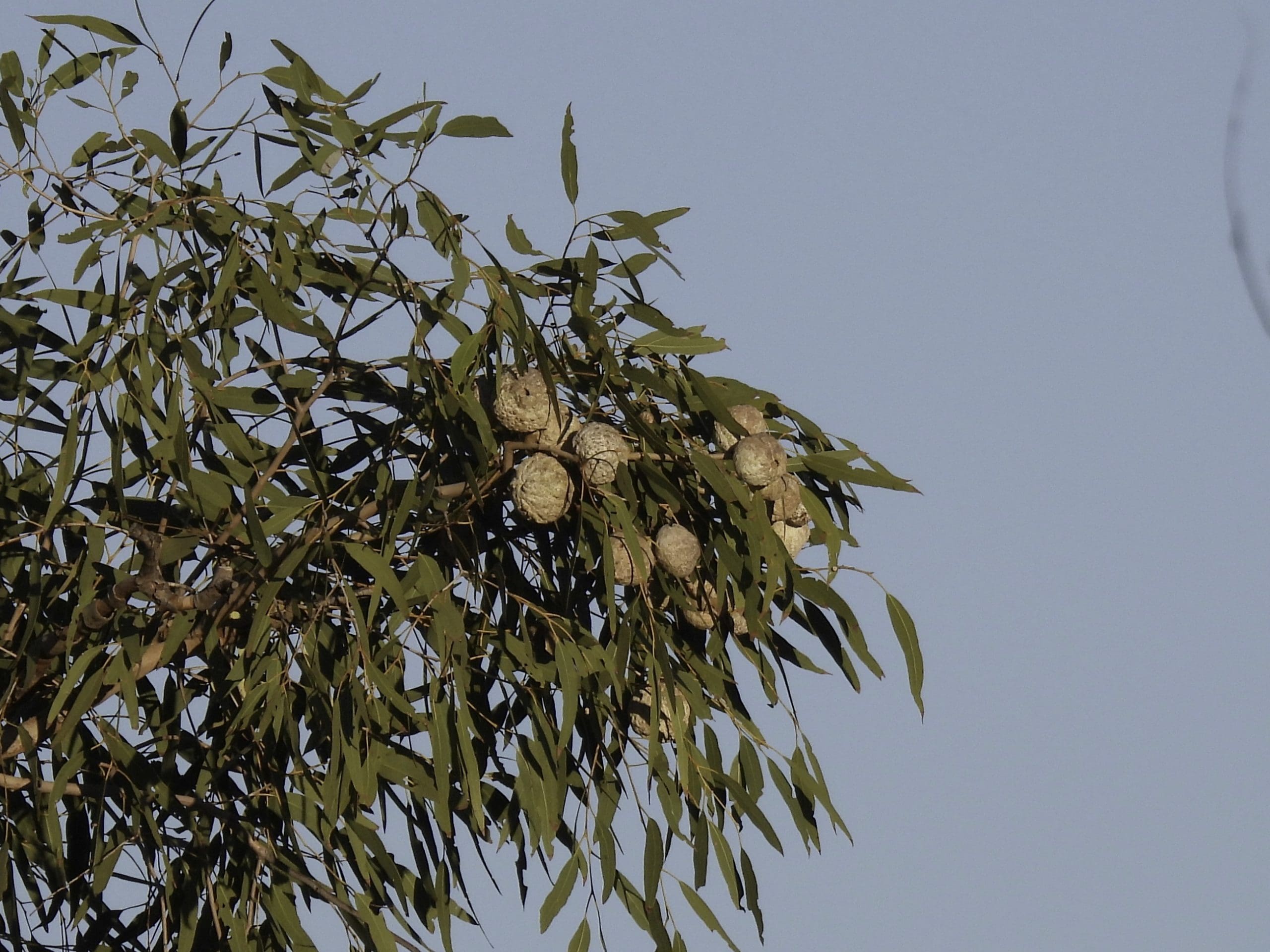
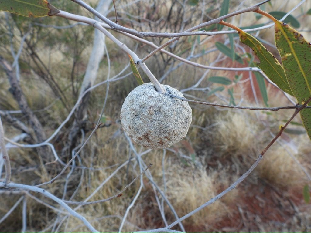
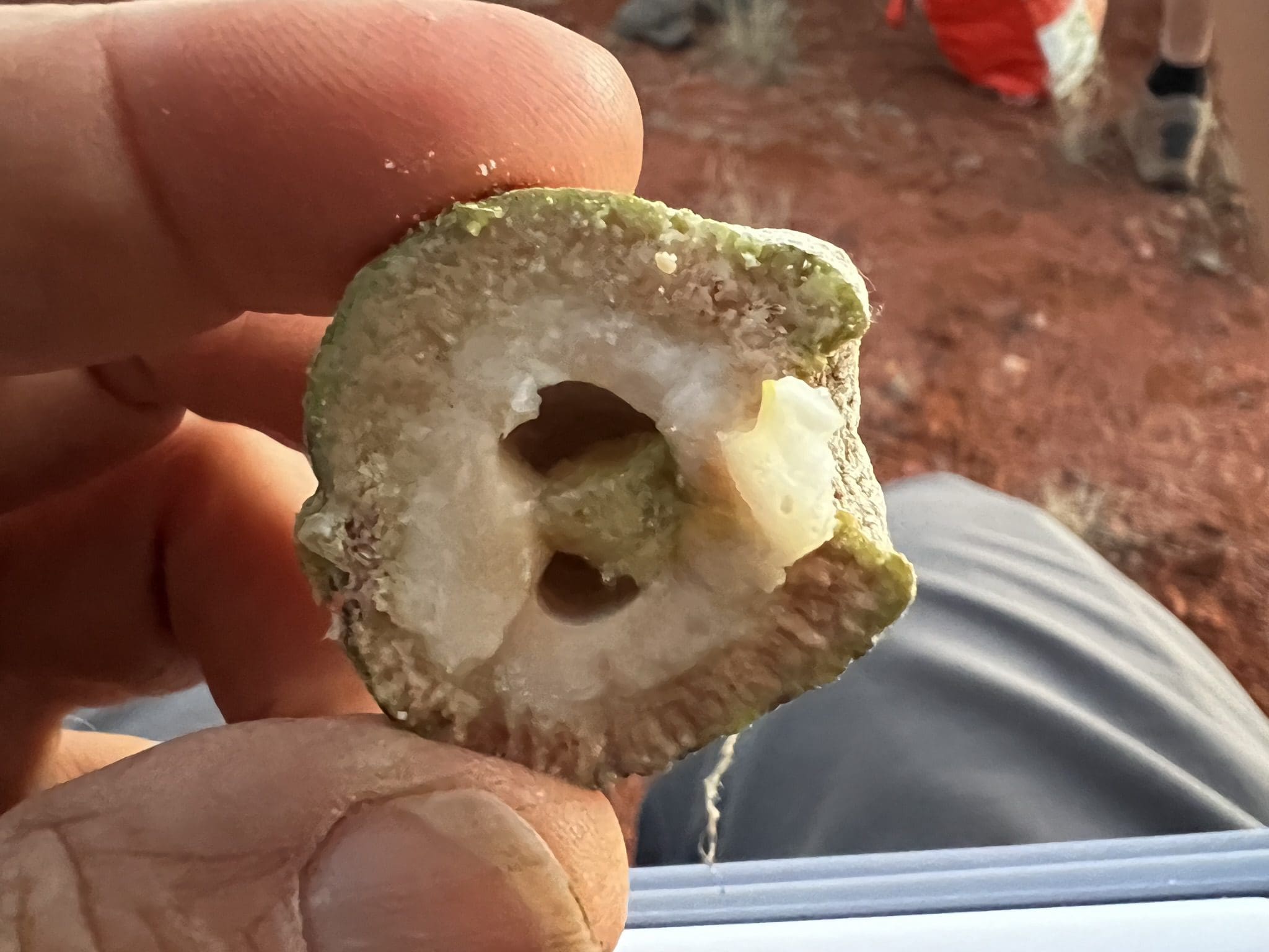
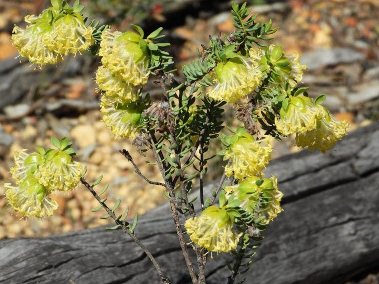
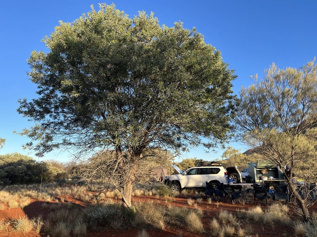
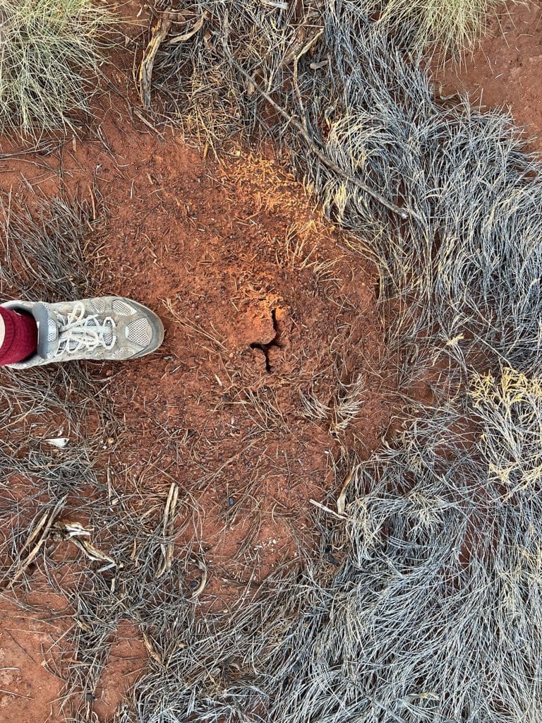
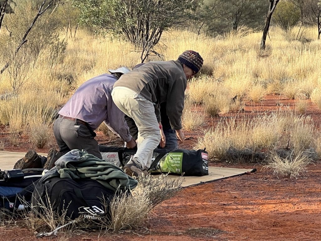
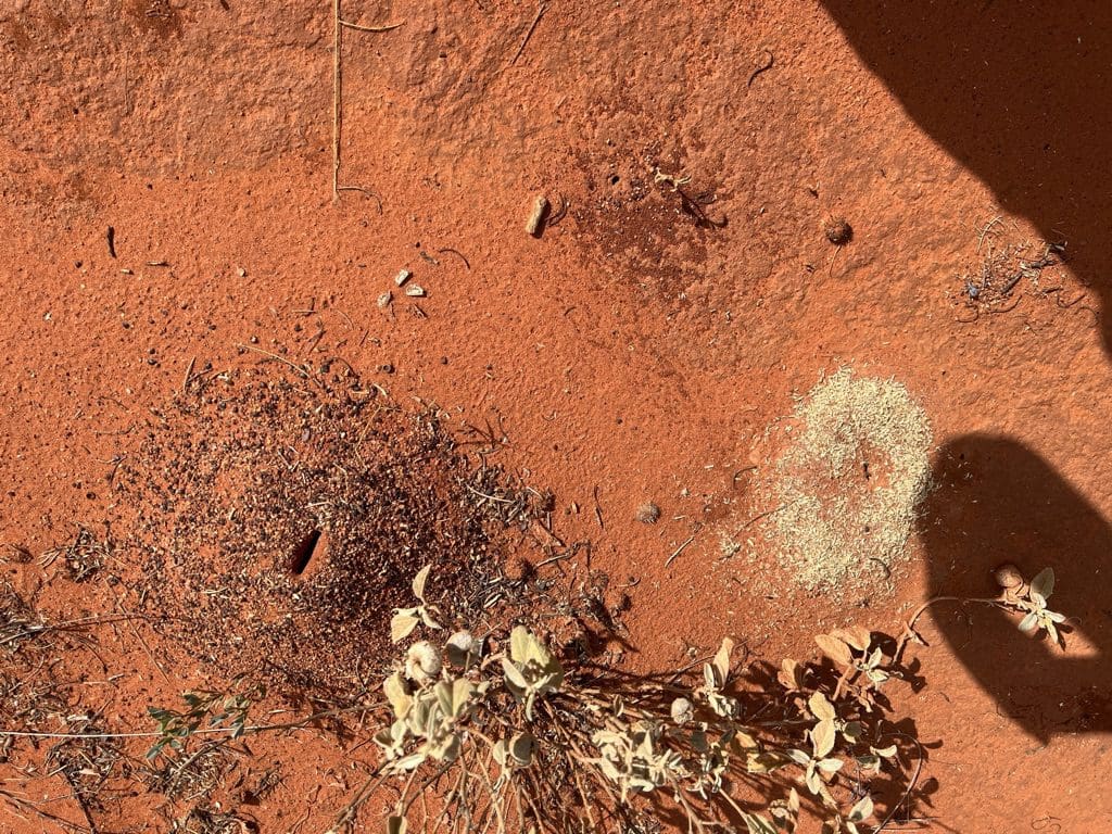
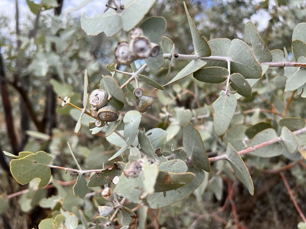
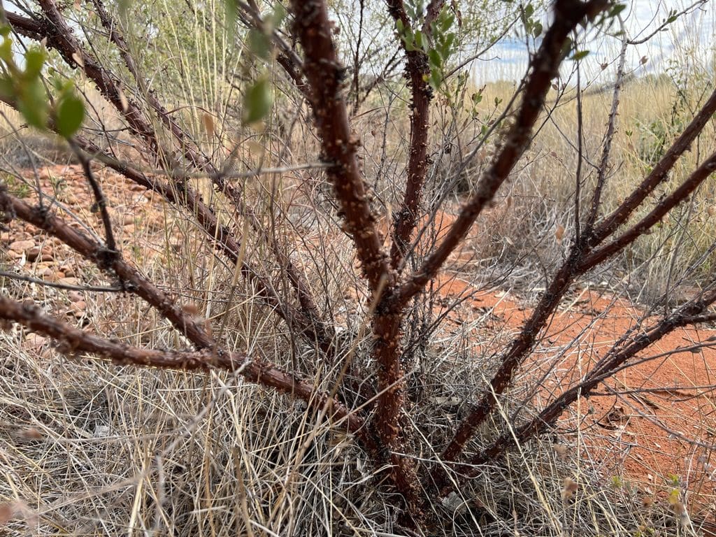
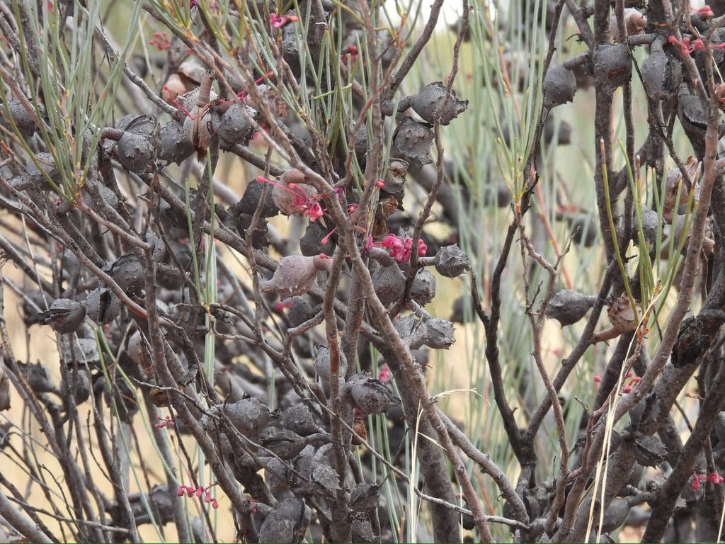
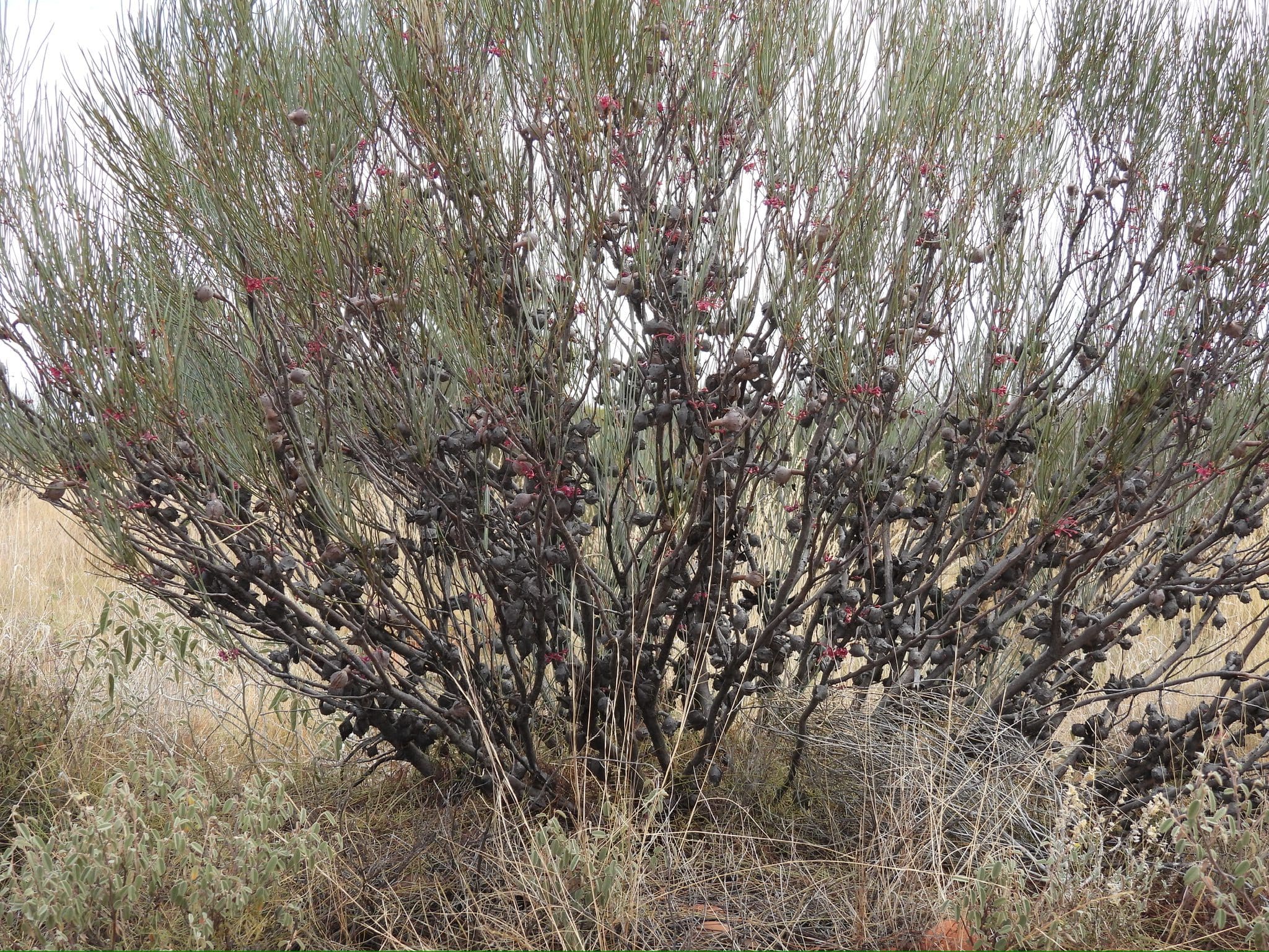
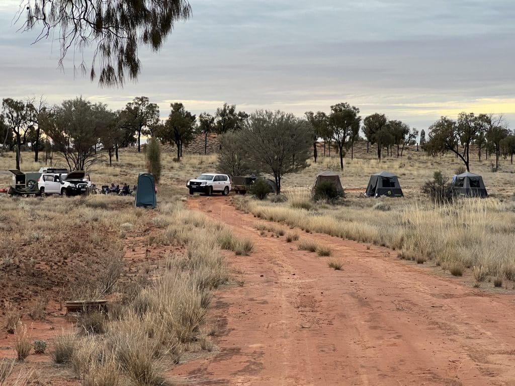
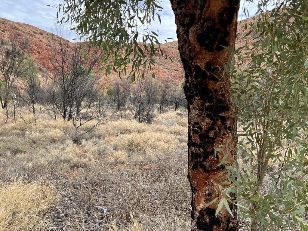
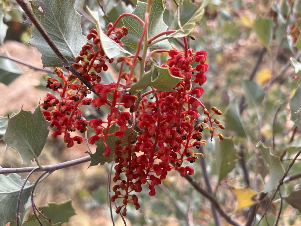
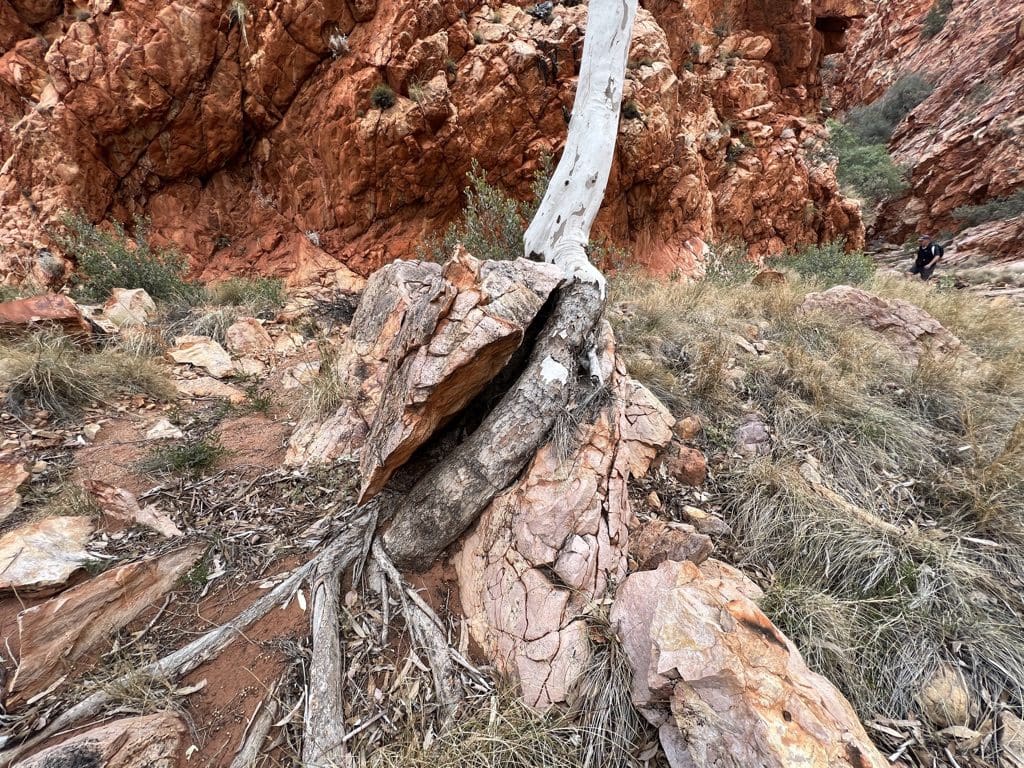
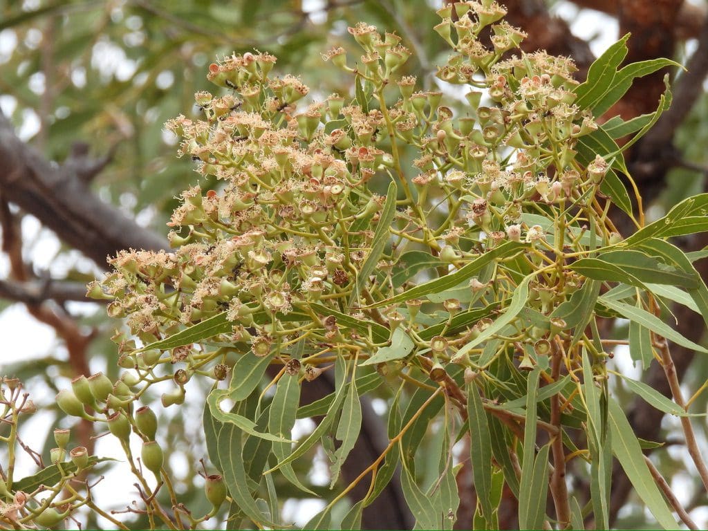
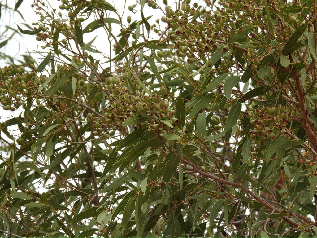
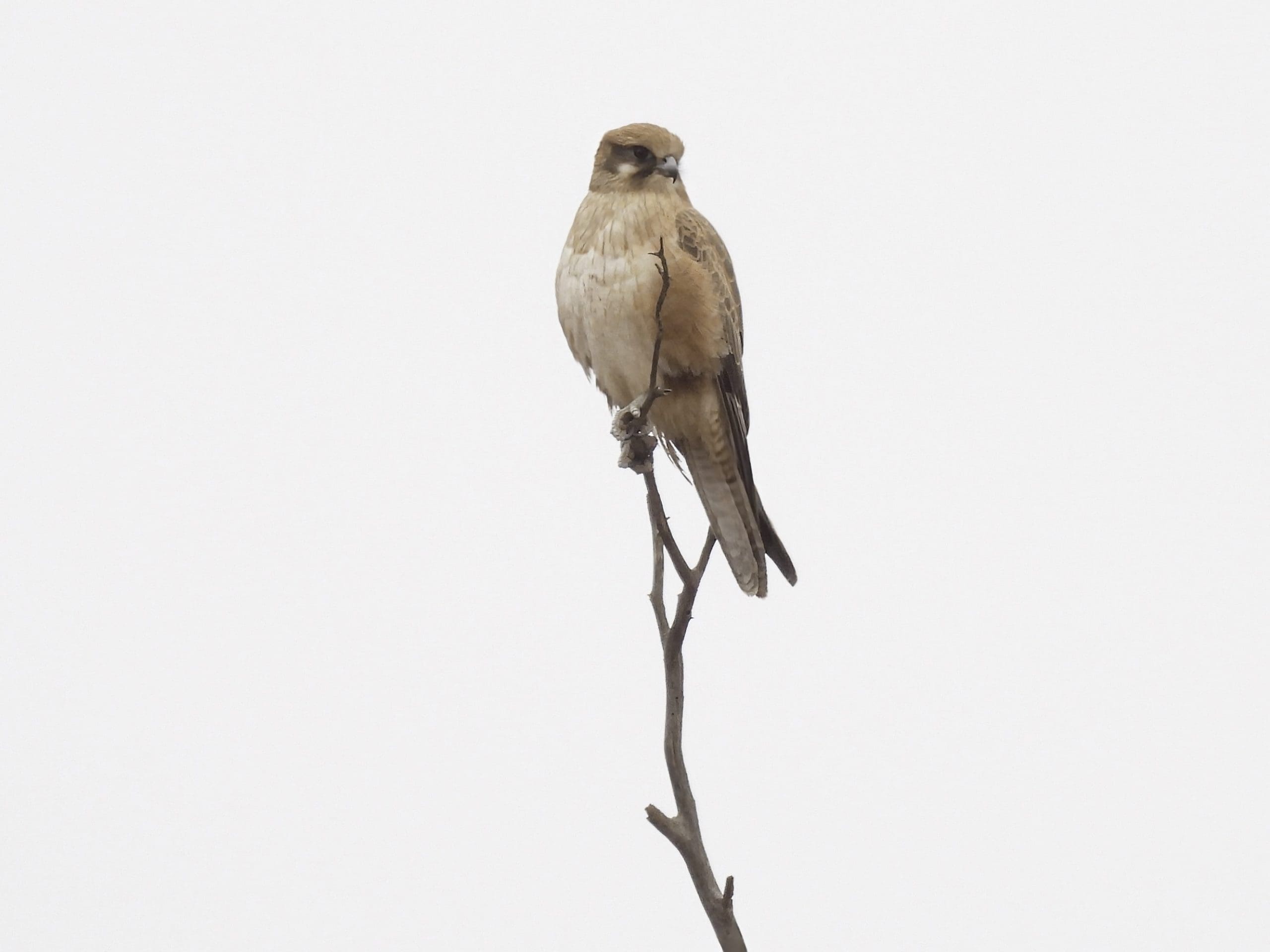
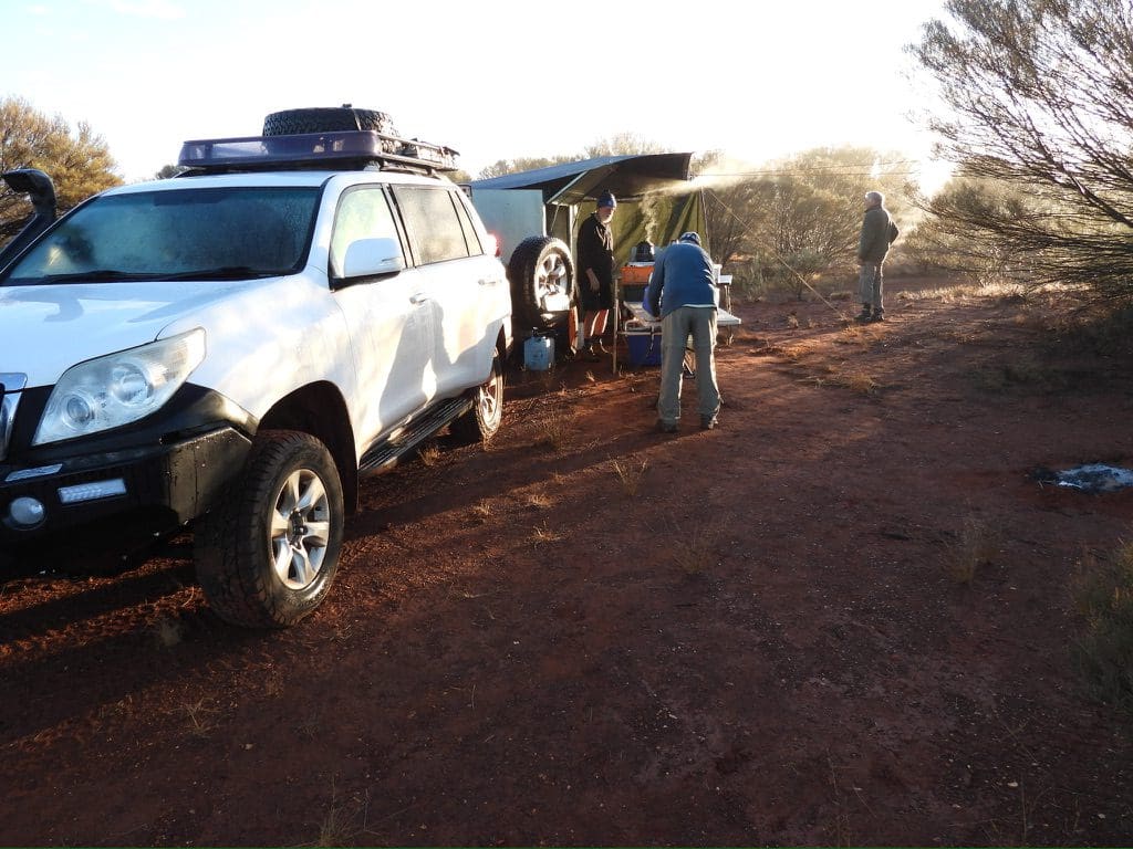
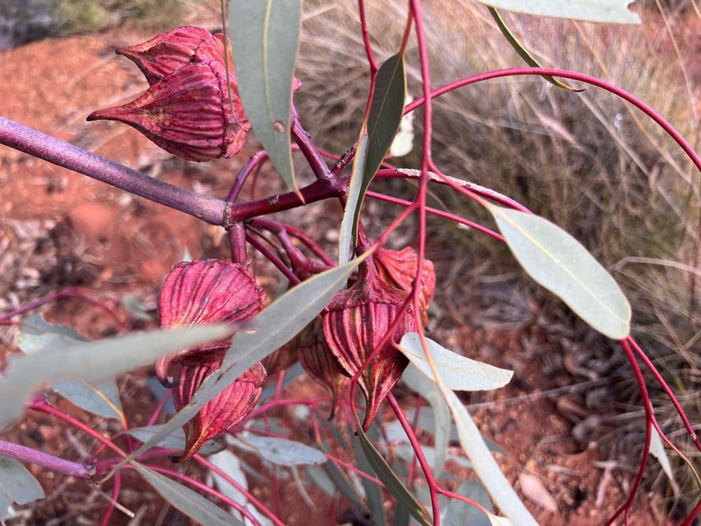
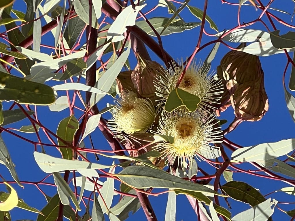
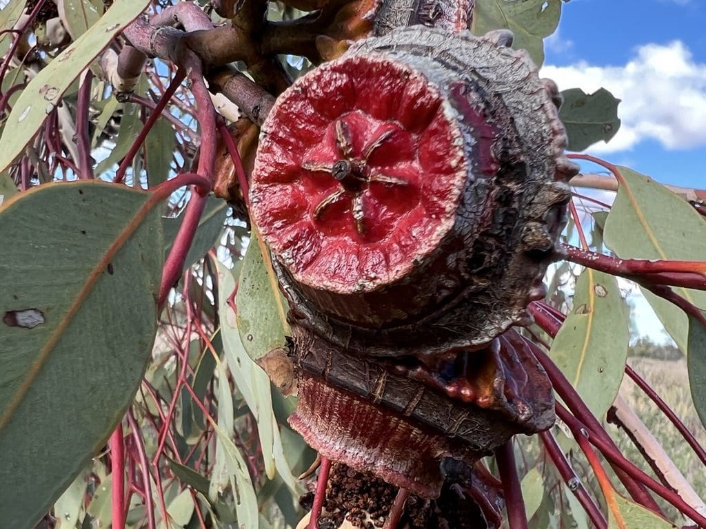
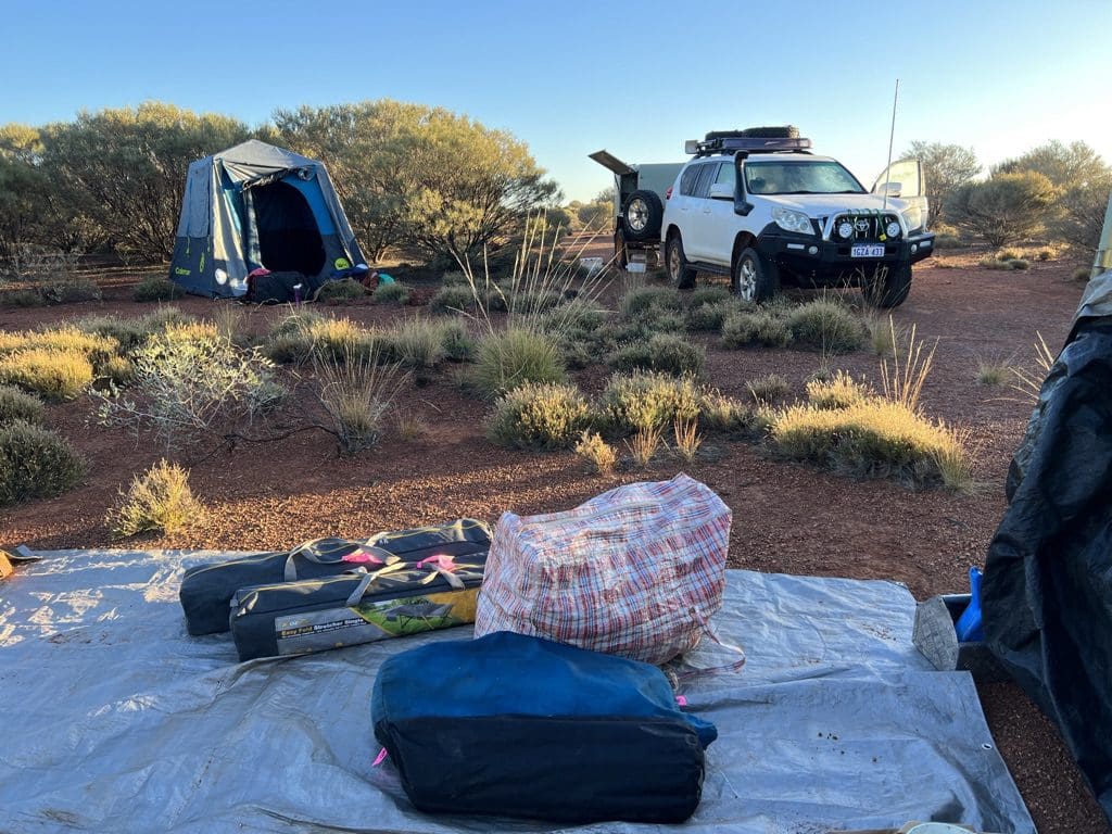
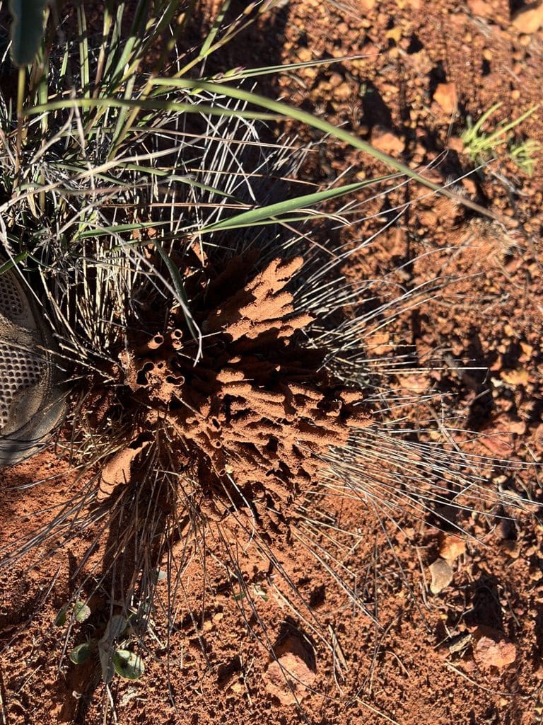
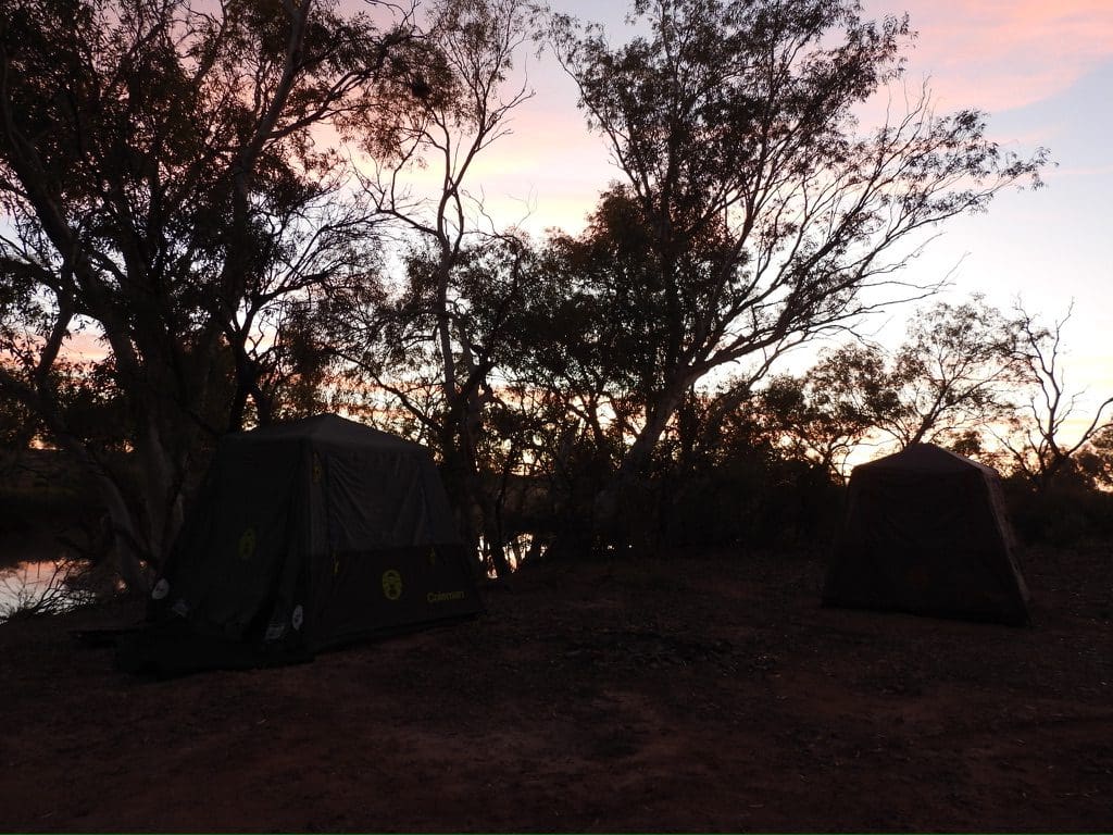
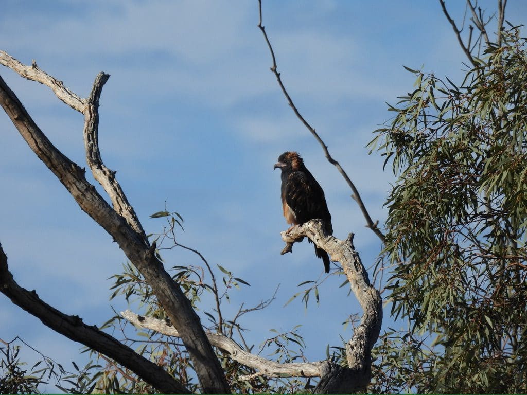
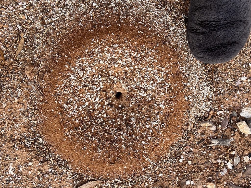
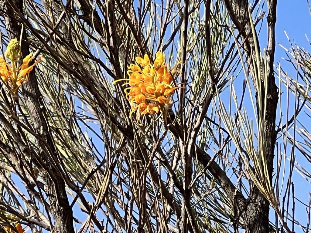
Thursday 15 June. Day 2. Up at 6:40. Quite a high fart factor packing the trailer and we got away at 9:25. A very slow drive westward along the corrugated Gary Highway for most of the day, stopping when necessary for birds and plants – spotted harrier being harassed by a corvid, two brown falcons on a comms tower. At about 4pm we turned off the Gary towards Kintore community where we visited the well stocked local store. From there south to join the Sandy Blight Junction Road that we will be on for the next three days. Stopped to set up camp at about 5. A very nice campsite. A short walk after putting up tents. Large numbers of Coconut Galls formed by an insect laying eggs on Eucalypt tree.
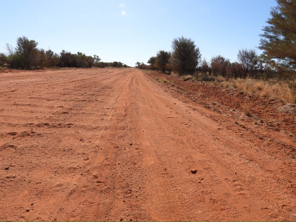
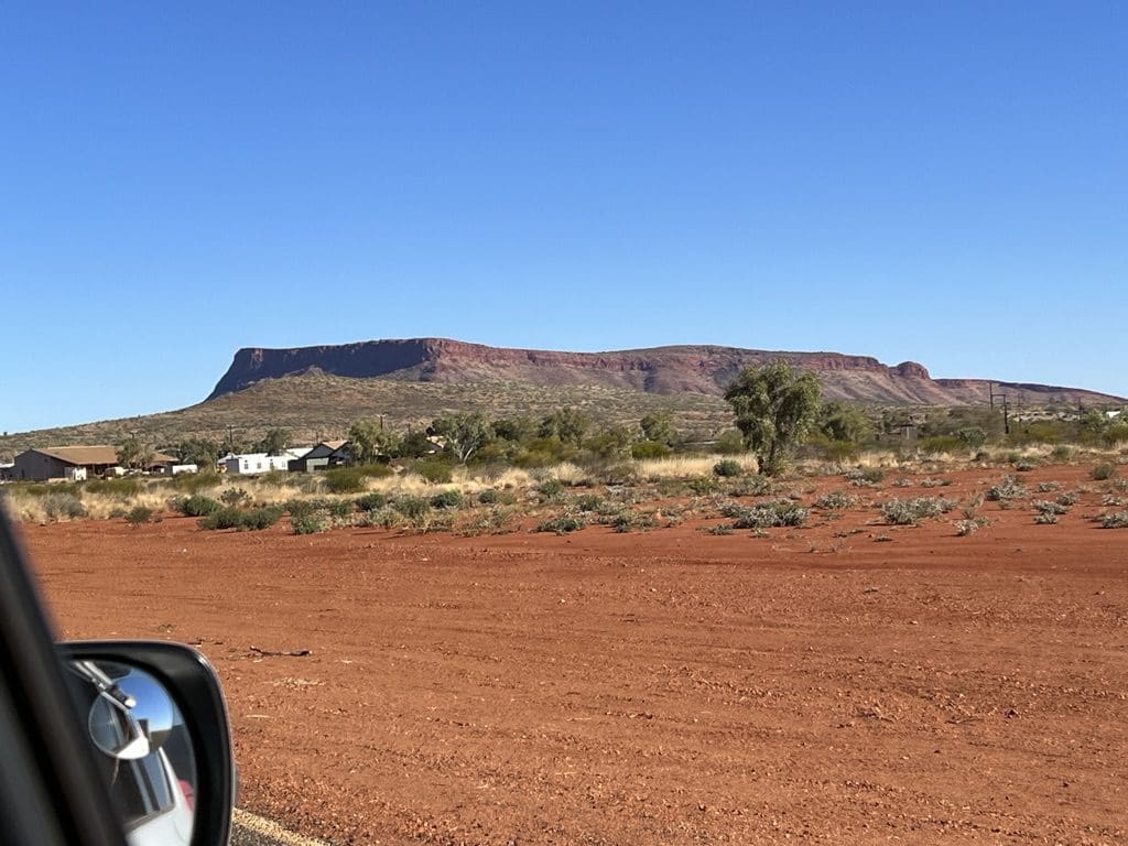
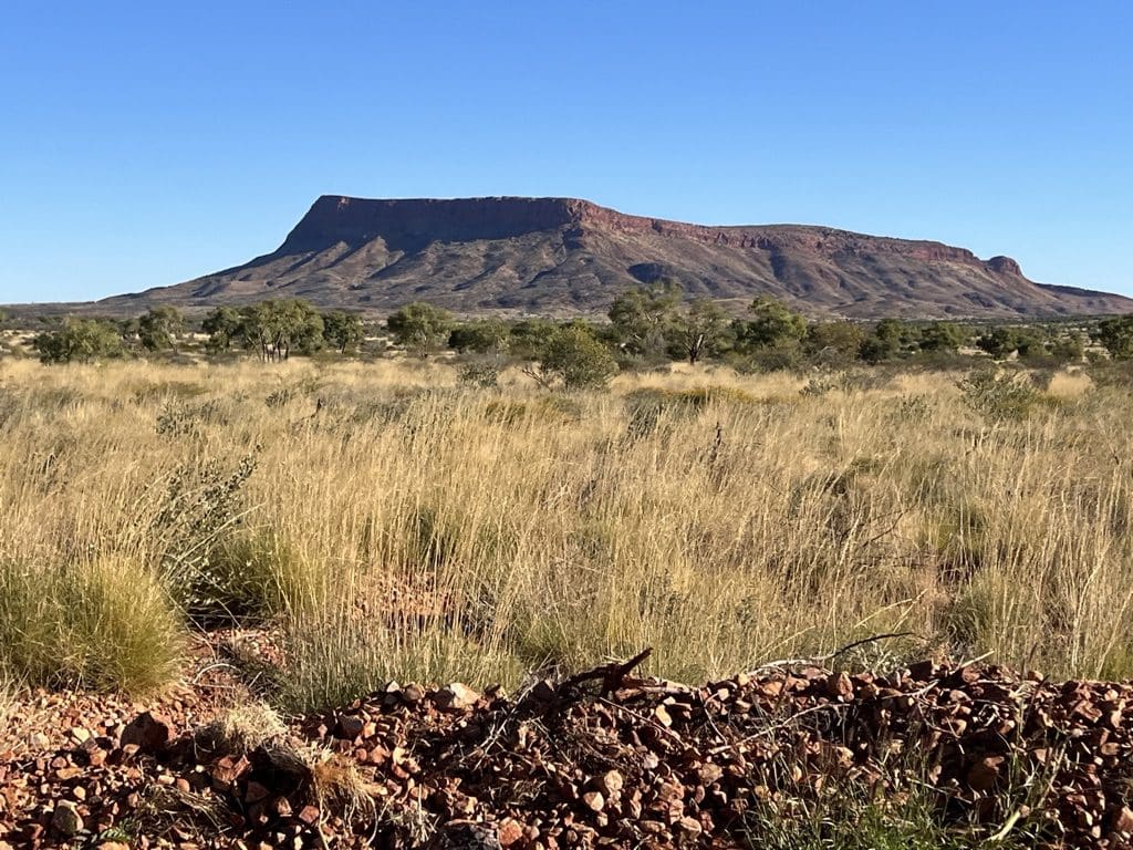
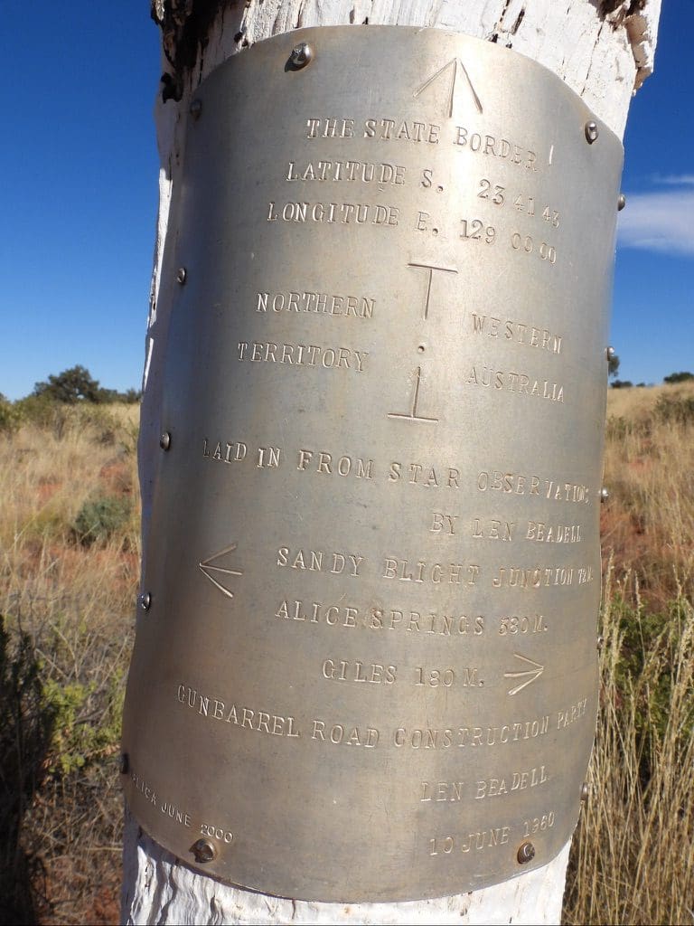
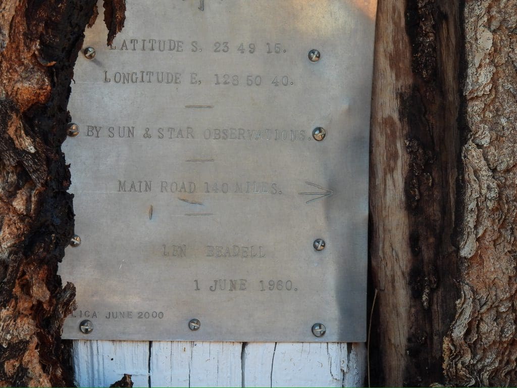
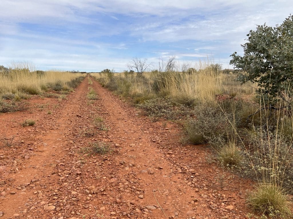
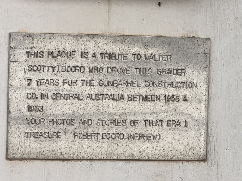
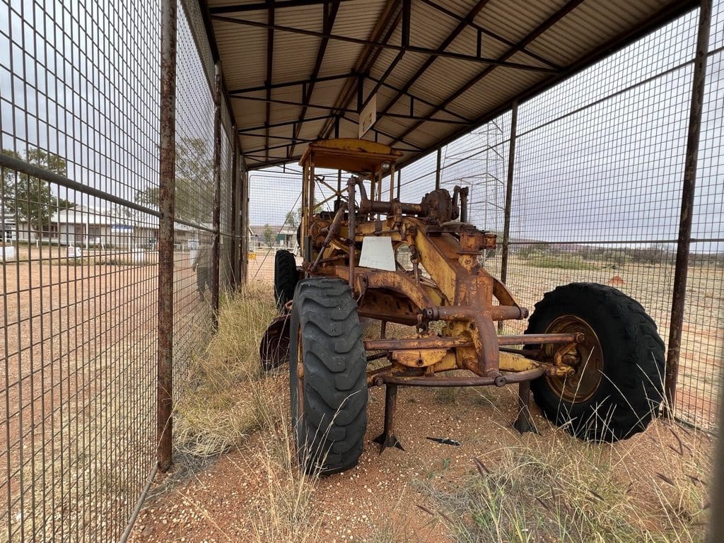
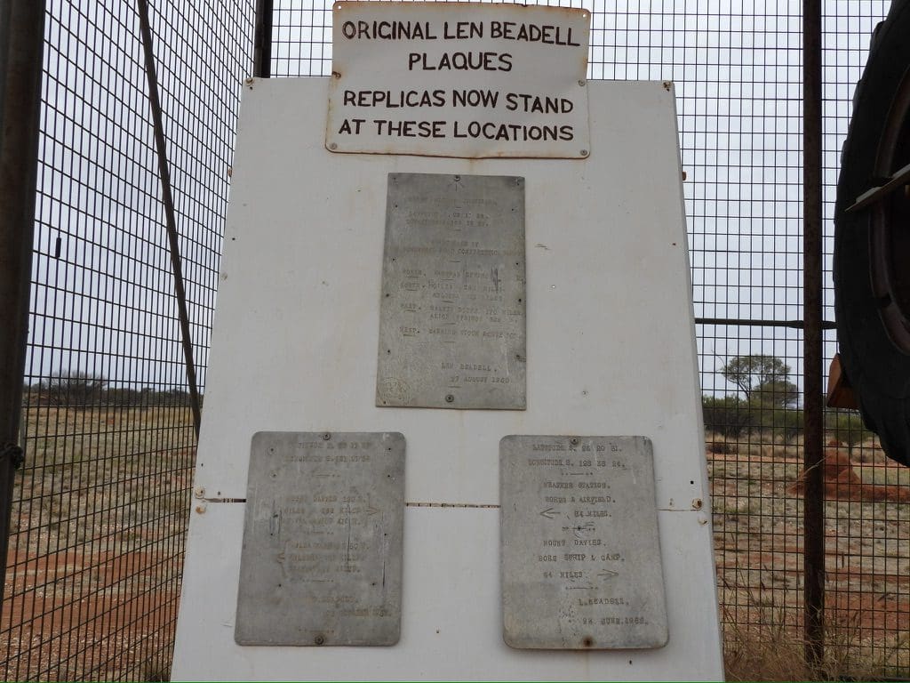
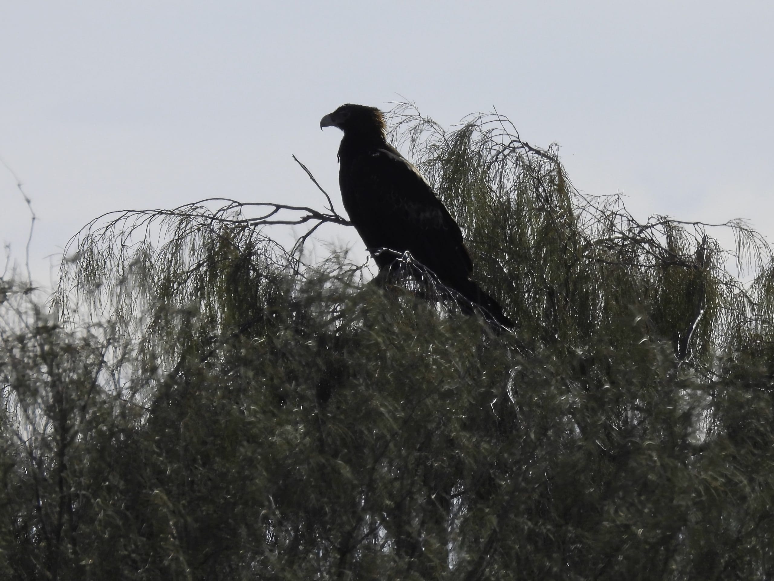
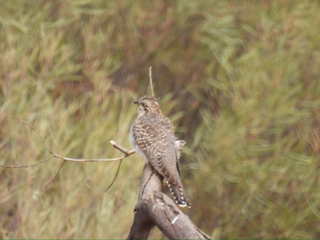
Friday 16 June. Day 3. Start much like yesterday – today an early morning birdwalk and another 9:25 departure – not at all a problem, we have 3 days to drive down Sandy Blight Junction Road. During the morning we saw Chiming Wedgebills and brown songlarks. Surprisingly few zebras and no budgies – indicating there must be no or very little water anywhere nearby. This is princess parrot country and we spent the morning searching unsuccessfully for this elusive bird. During the day we have headed mainly south and a little bit west. When Len Beadell was putting in this road in 1960, he had to avoid the quagmire and harsh conditions around Lake MacDonald to the west. This meant in effect that his road beats back and forth around that general north-south line as he picked the best way forward that avoided difficult bits. Not long after lunch, we crossed the border into Western Australia and soon after that we chose a campsite for the night. (At the border, Beadell was 4” out in his longitude. Longitude!!! Just 4”. Bloody good work I say.)
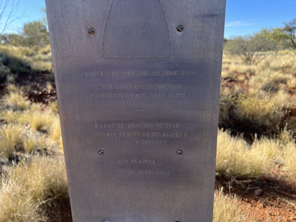
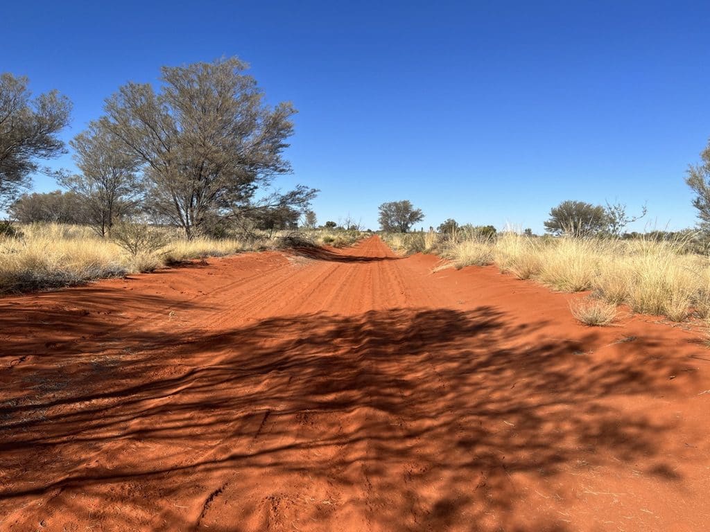
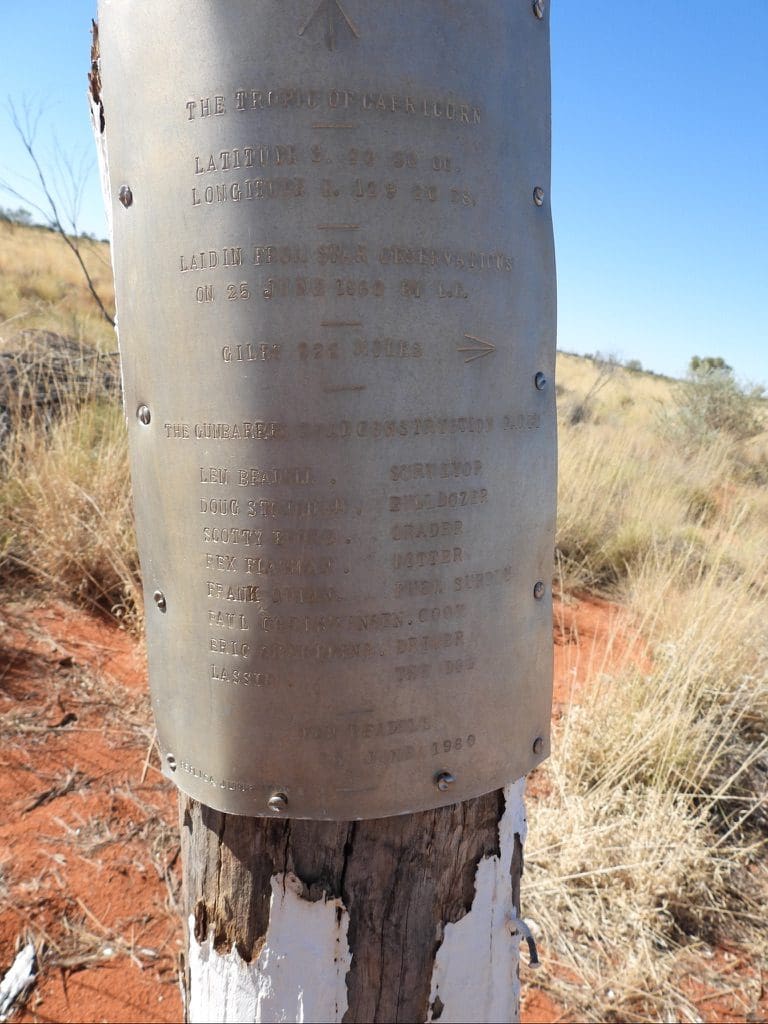
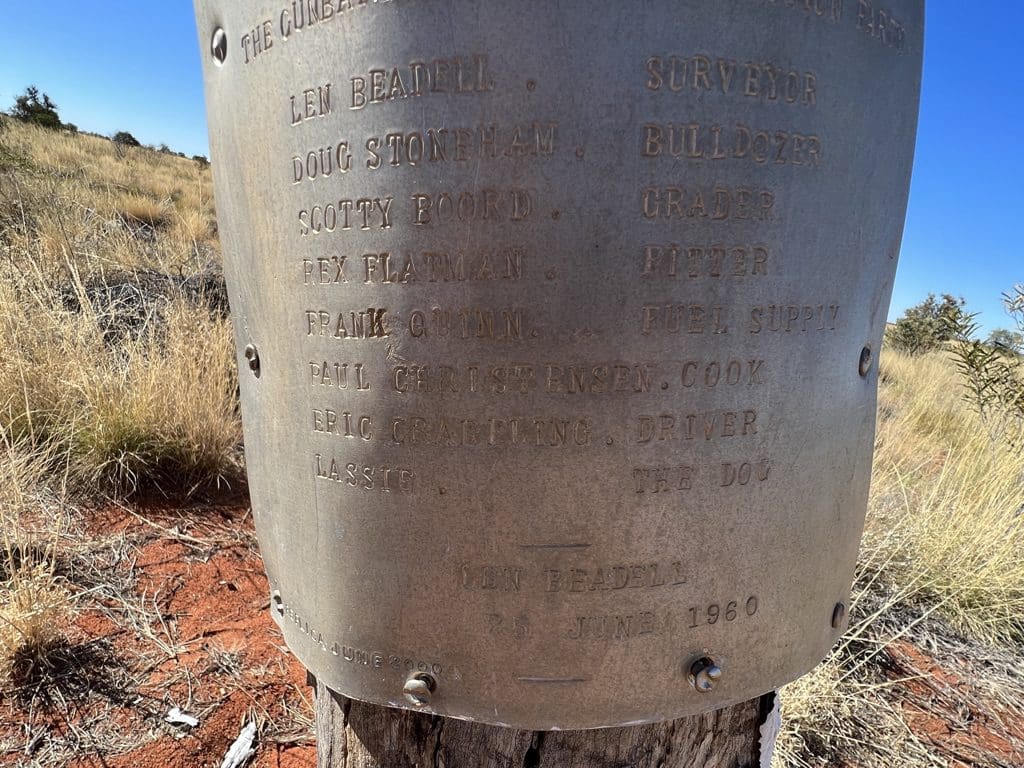
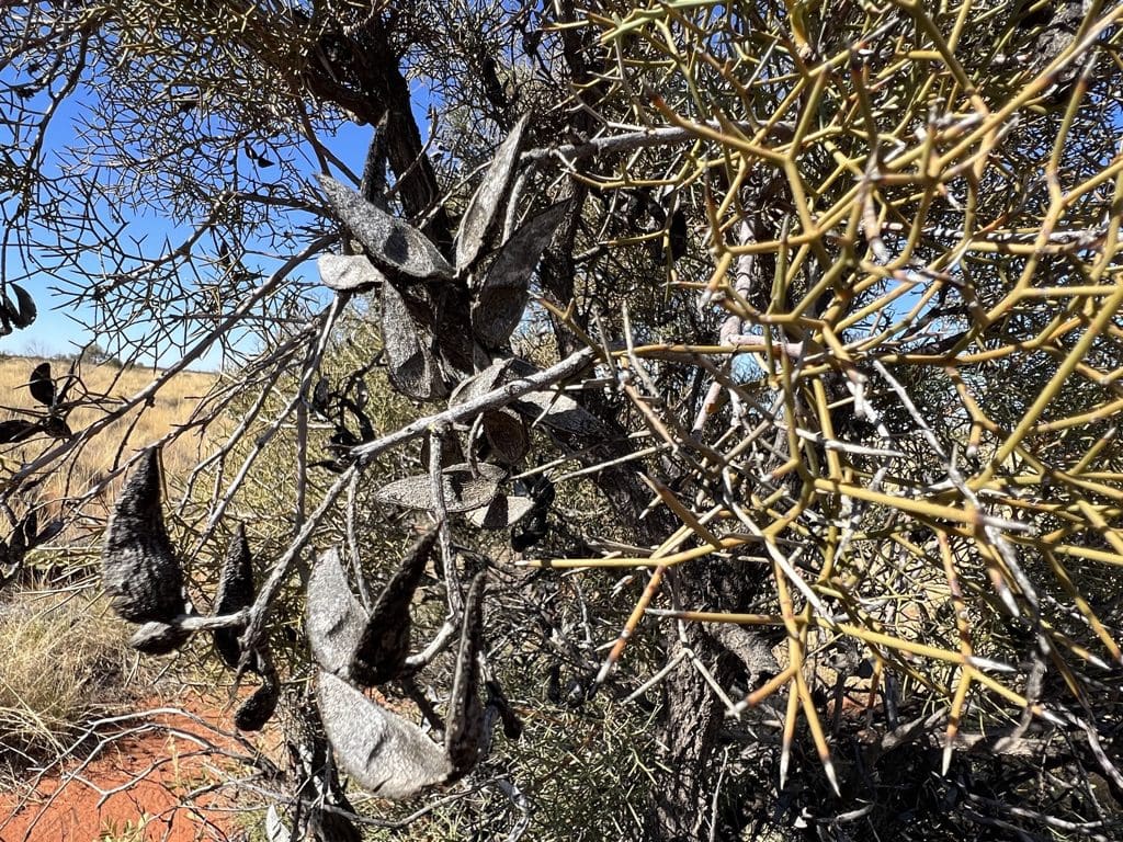
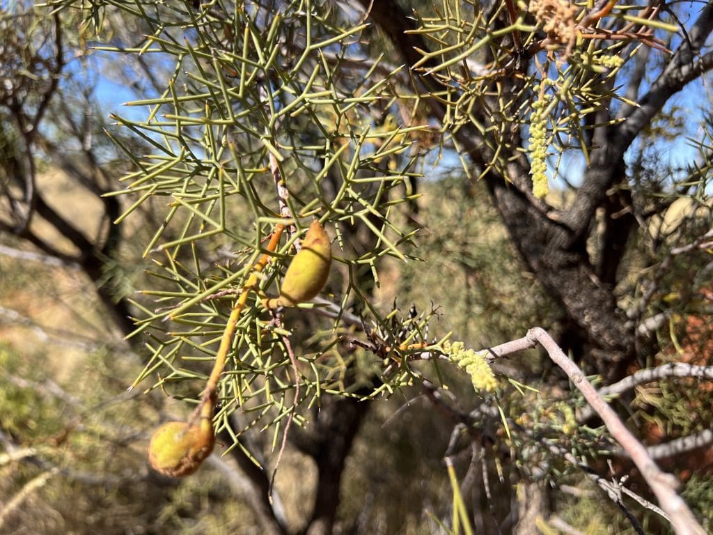
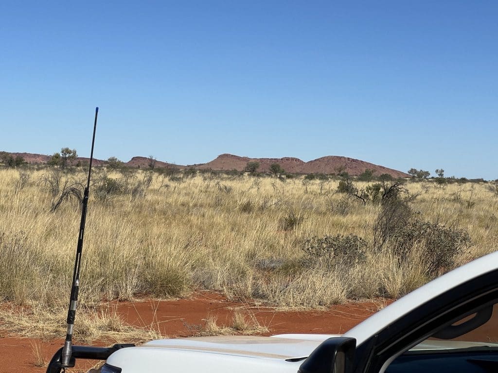
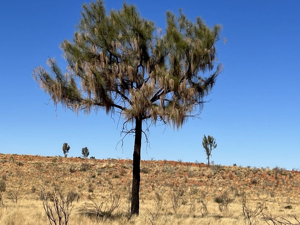
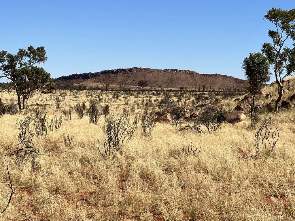
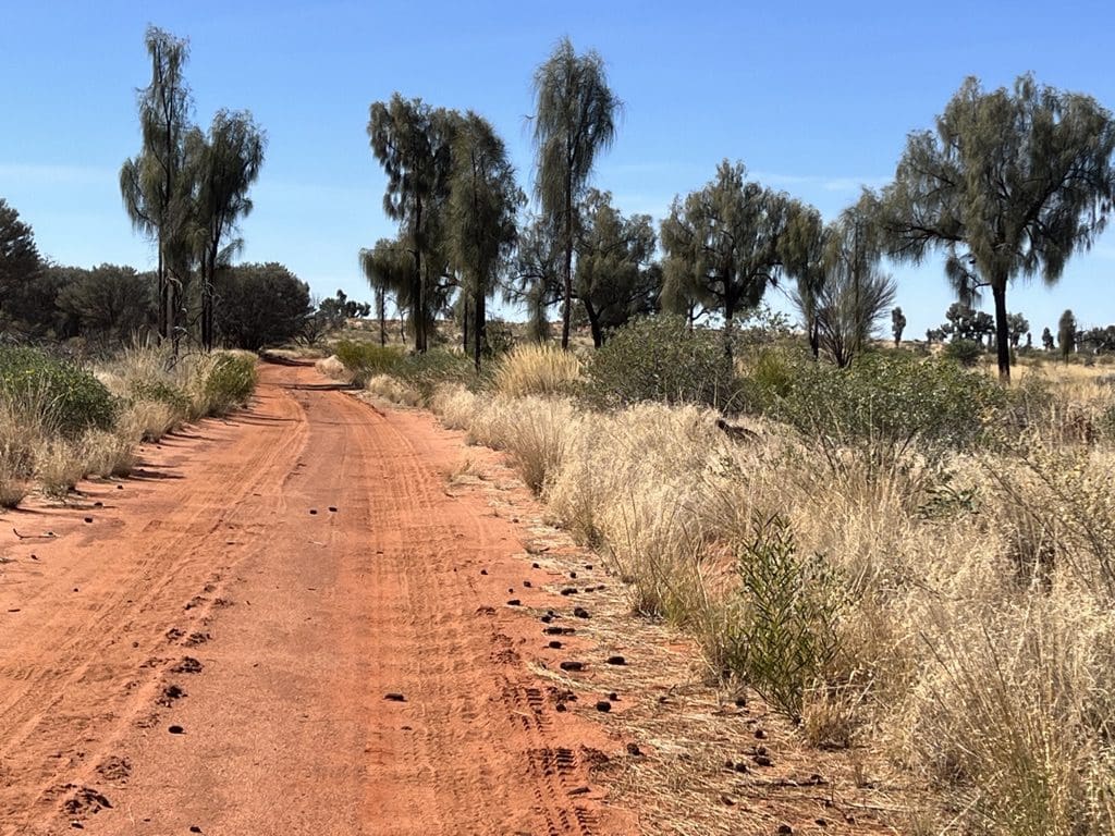
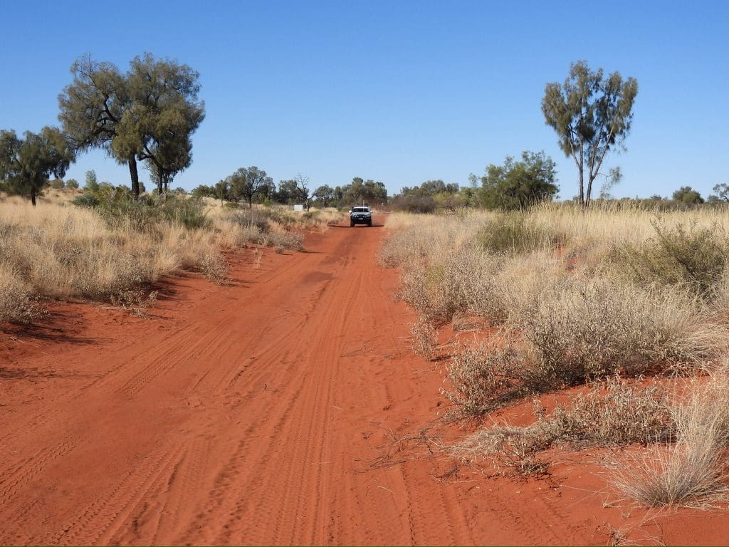
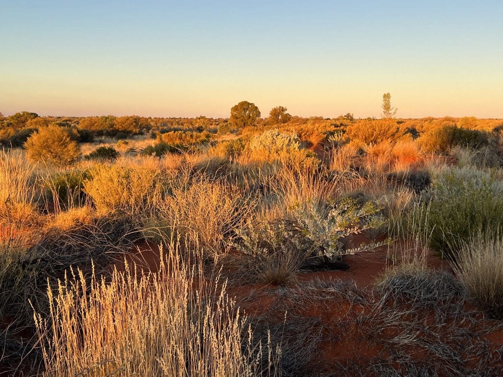

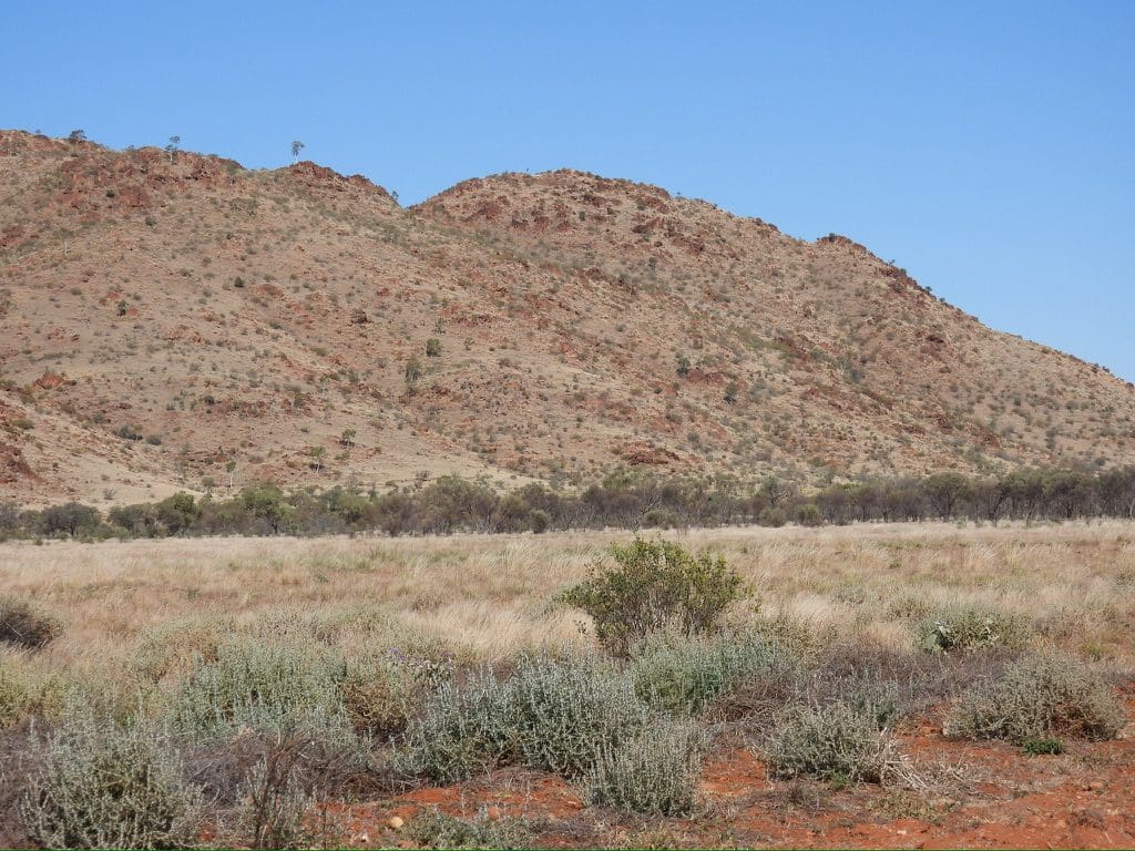
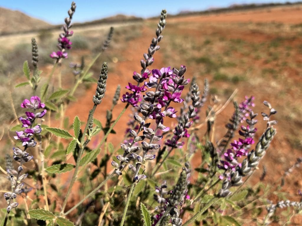
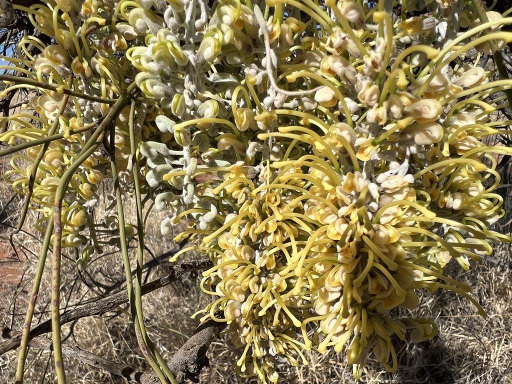
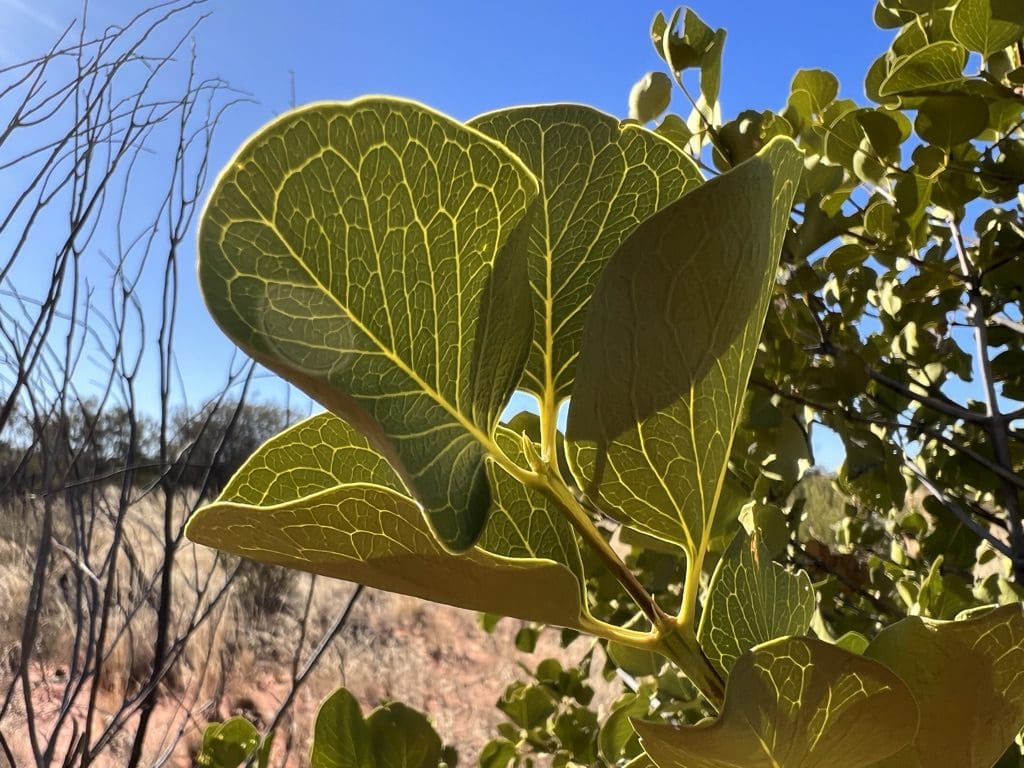
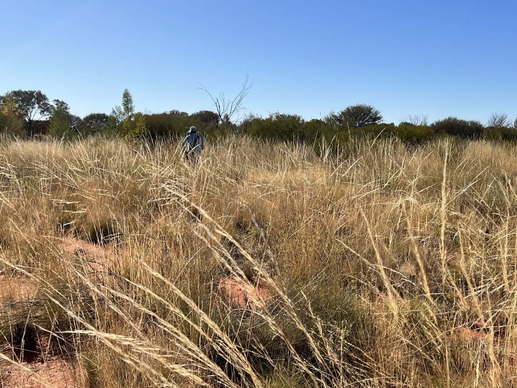
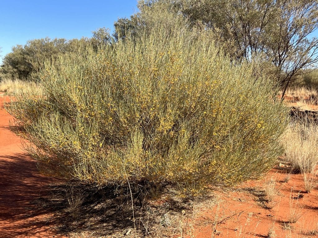
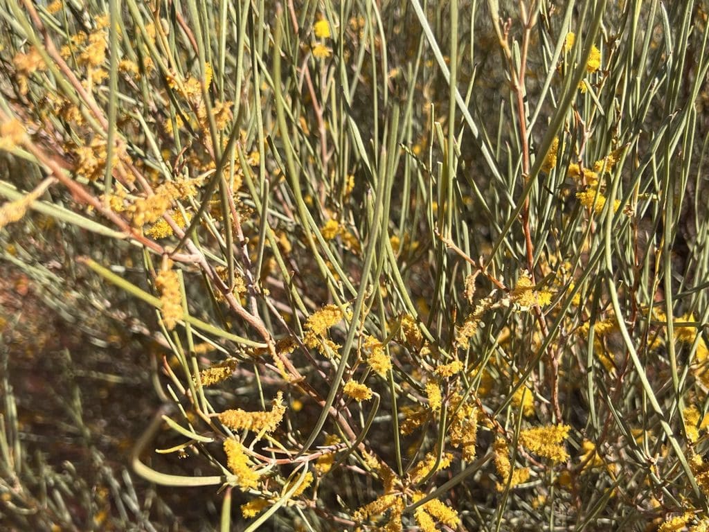
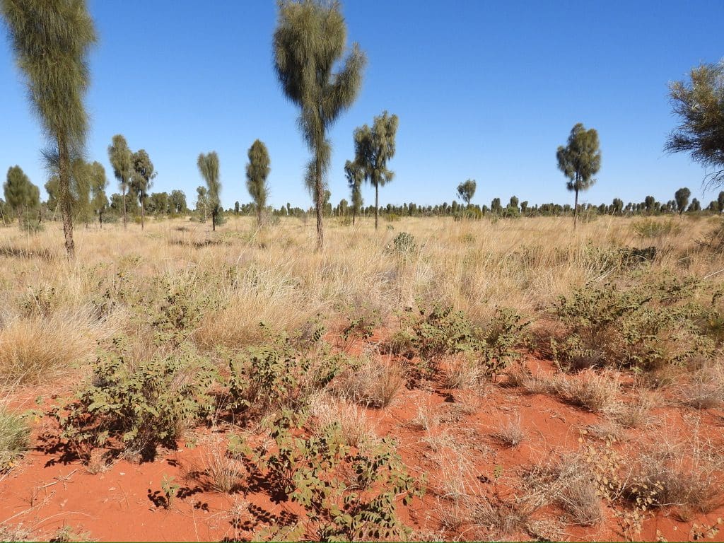
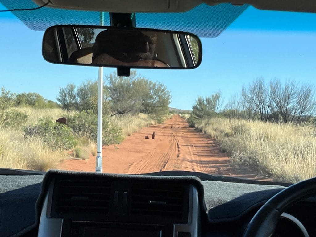
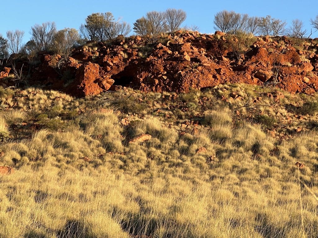
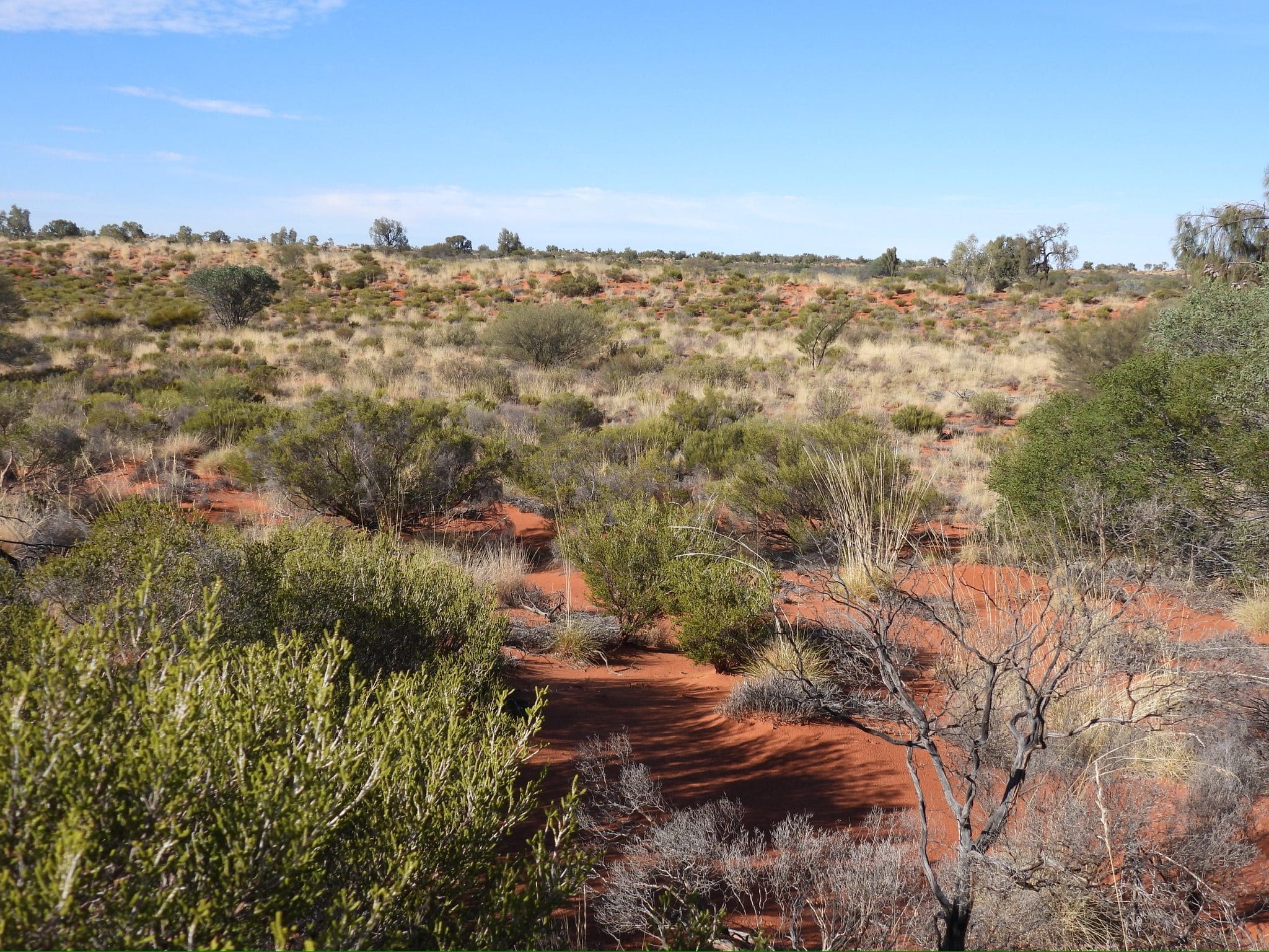
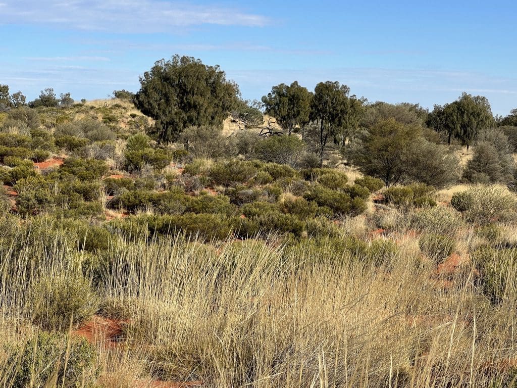
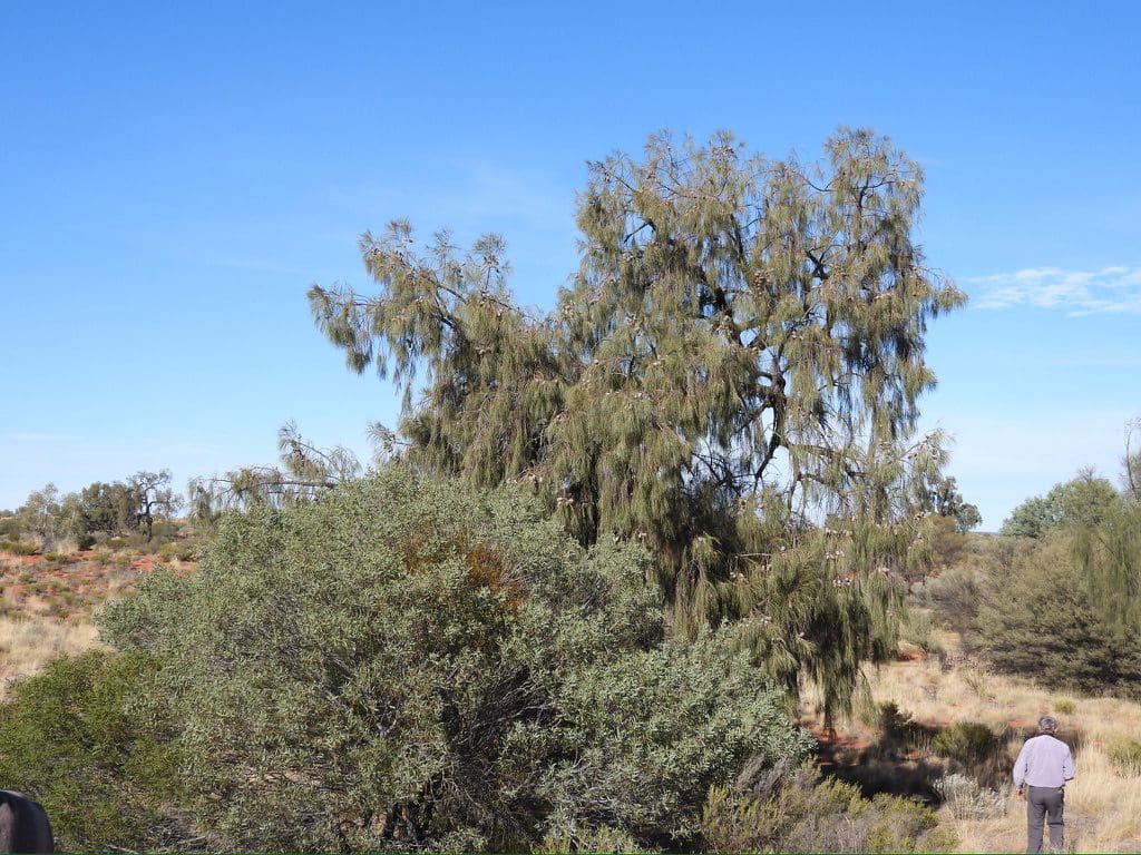
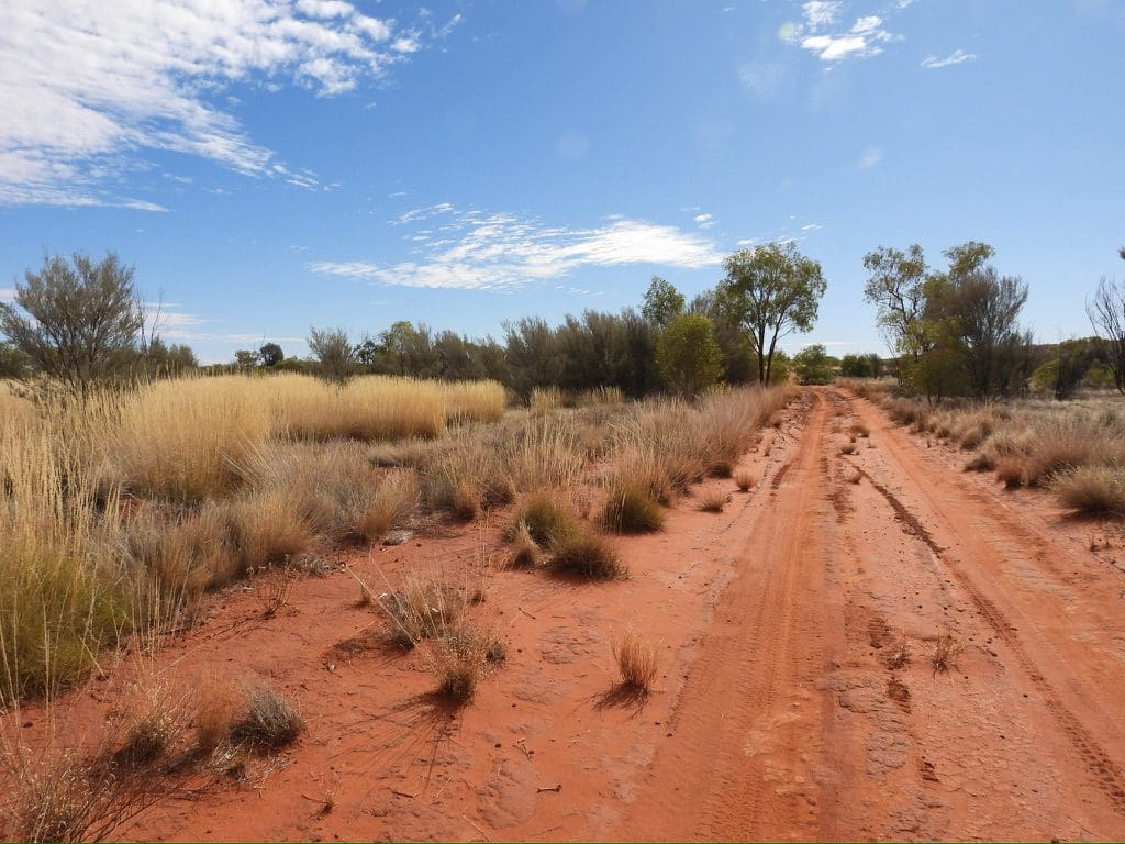
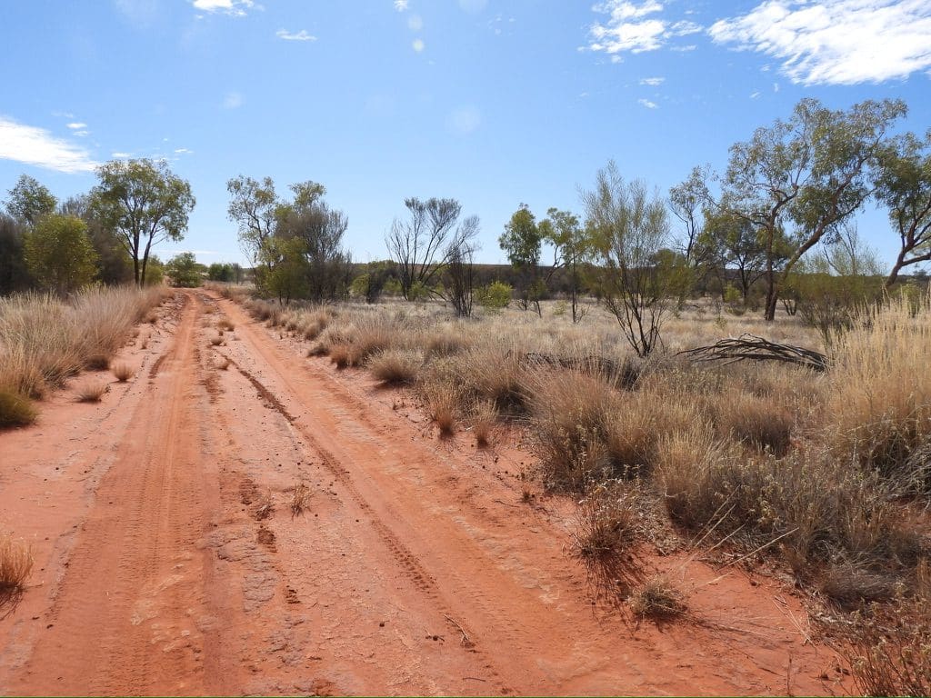
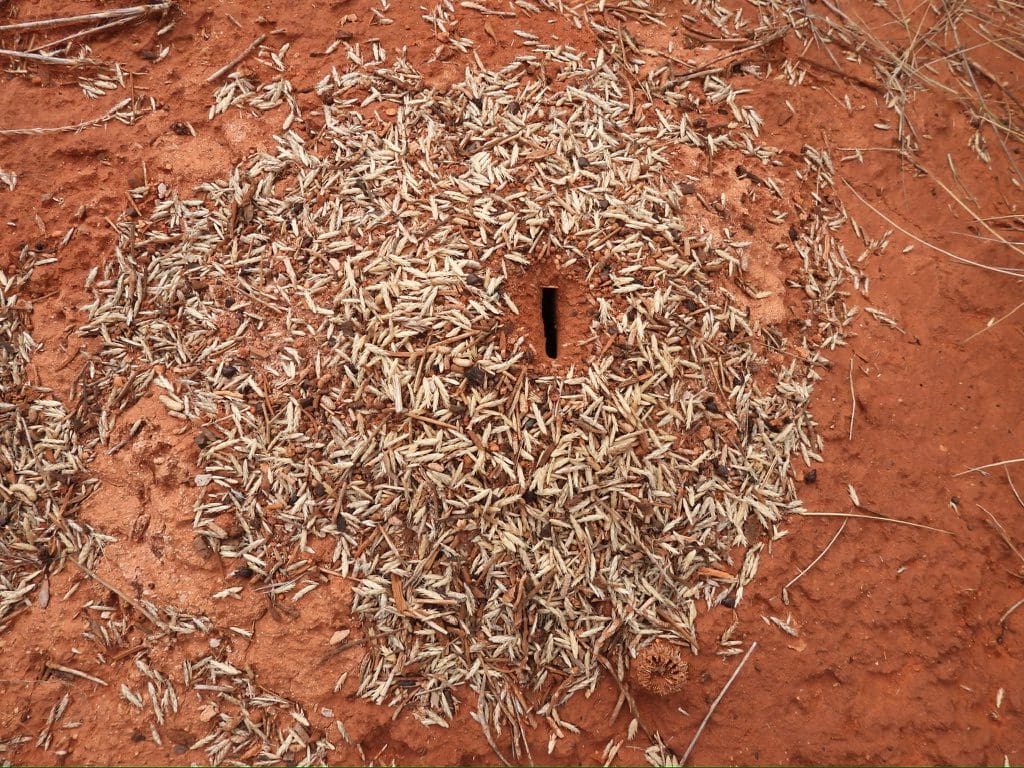
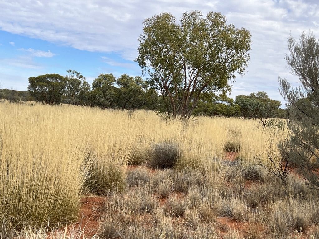
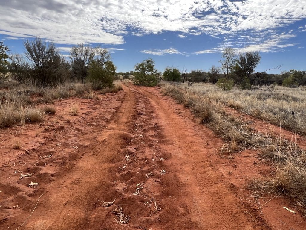
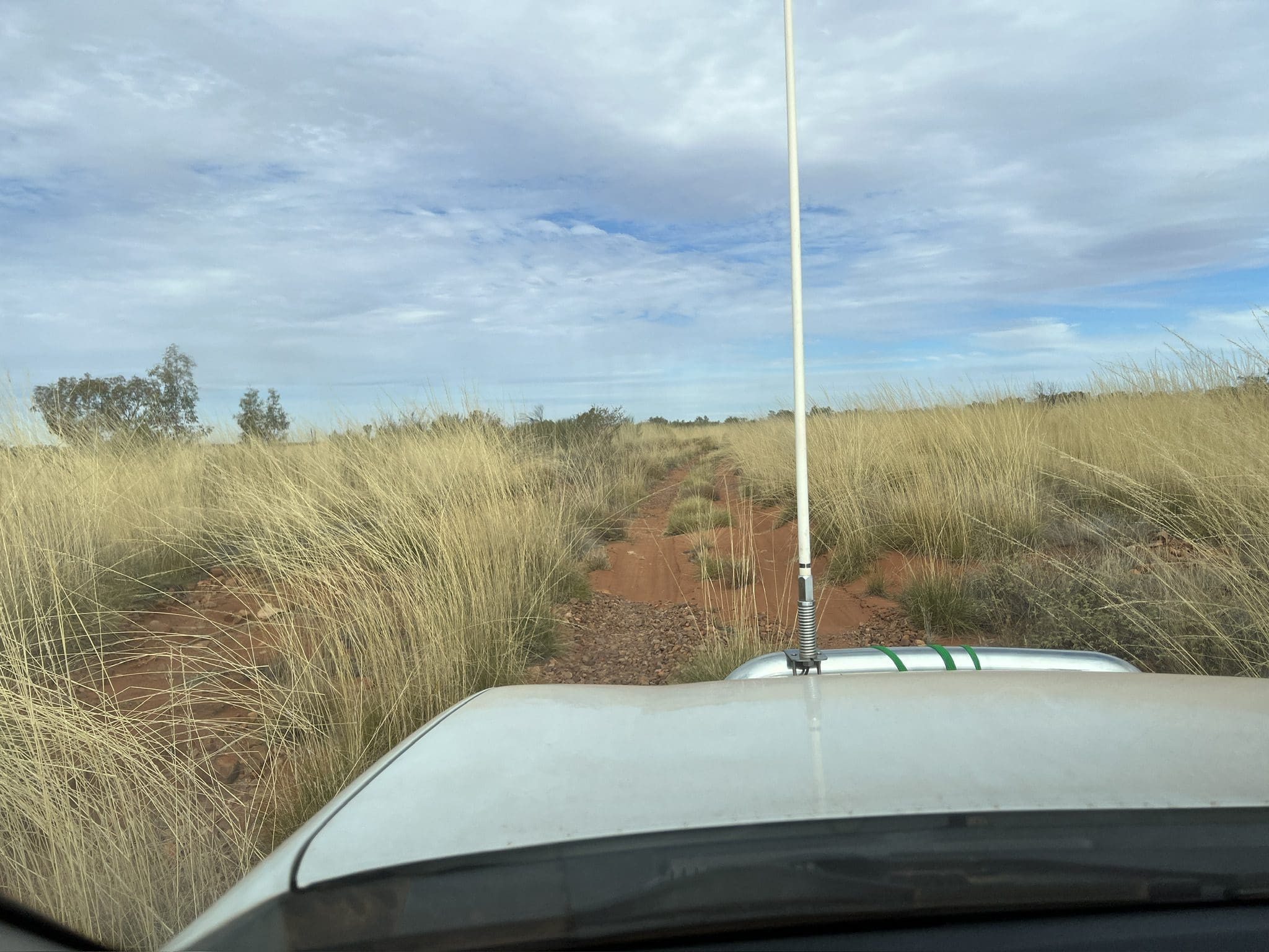
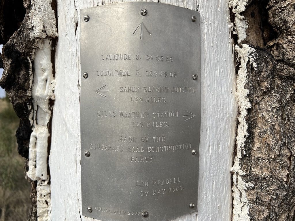
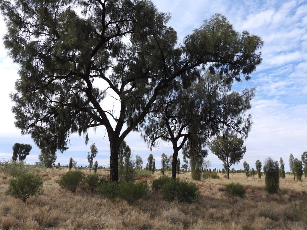
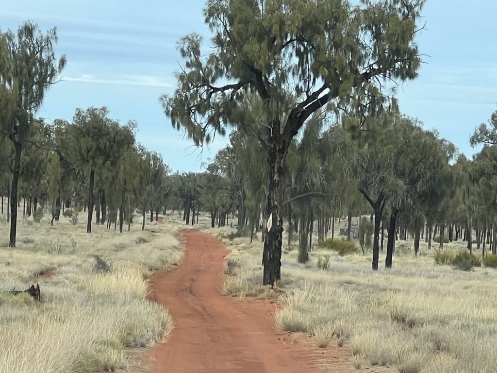
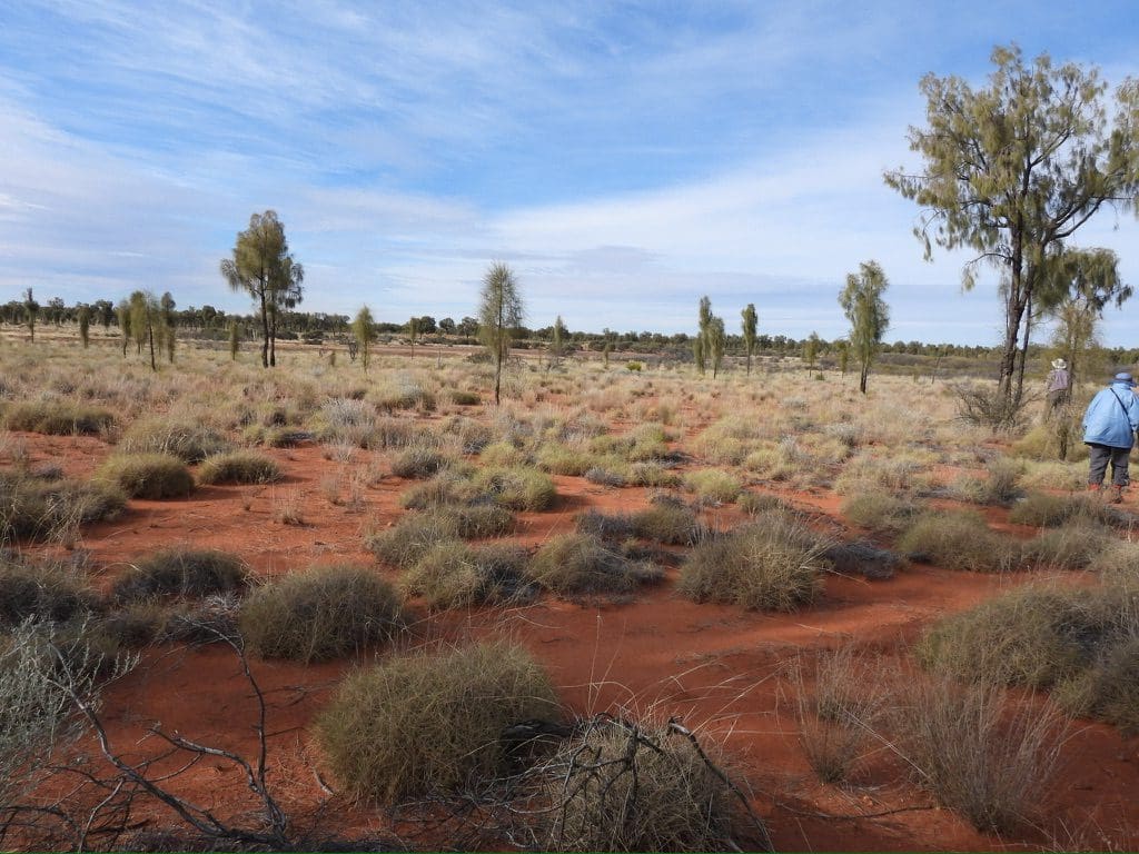
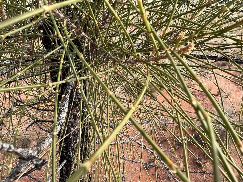
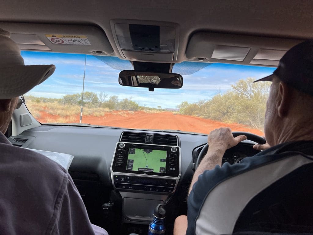
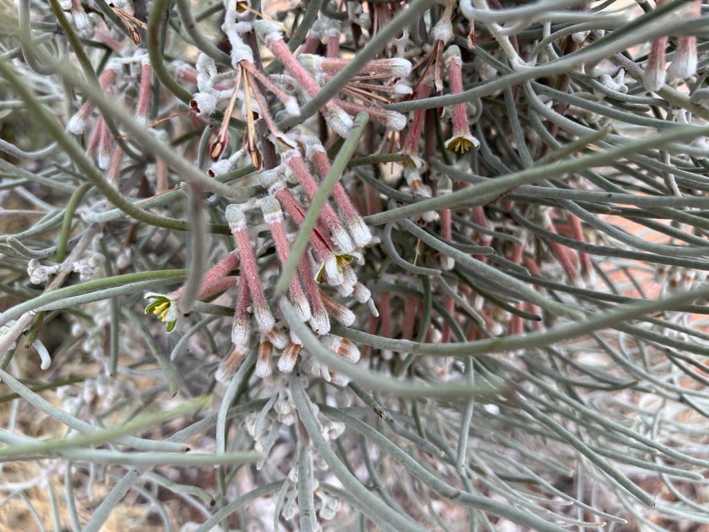
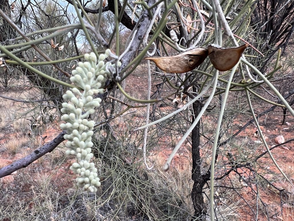
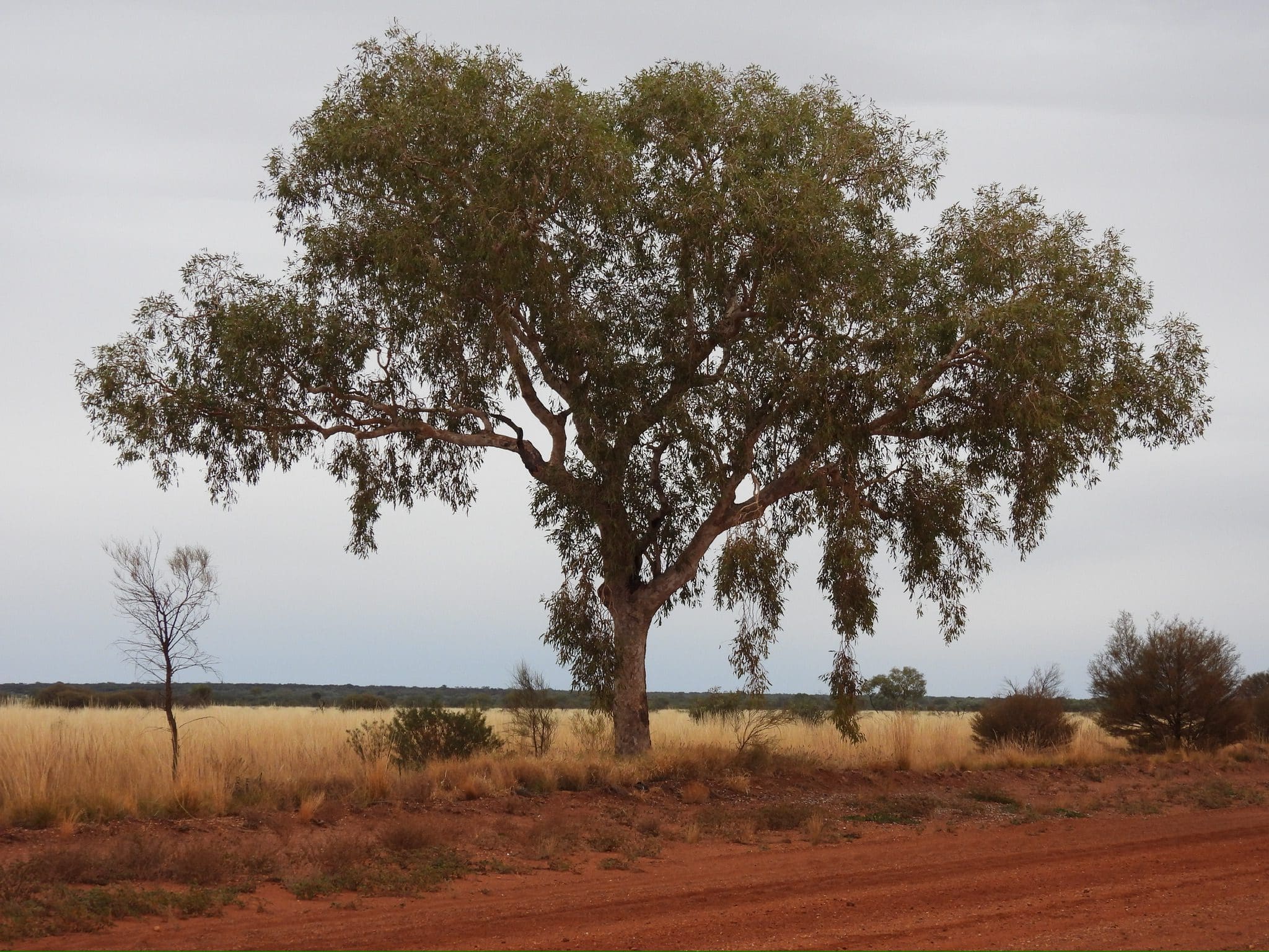
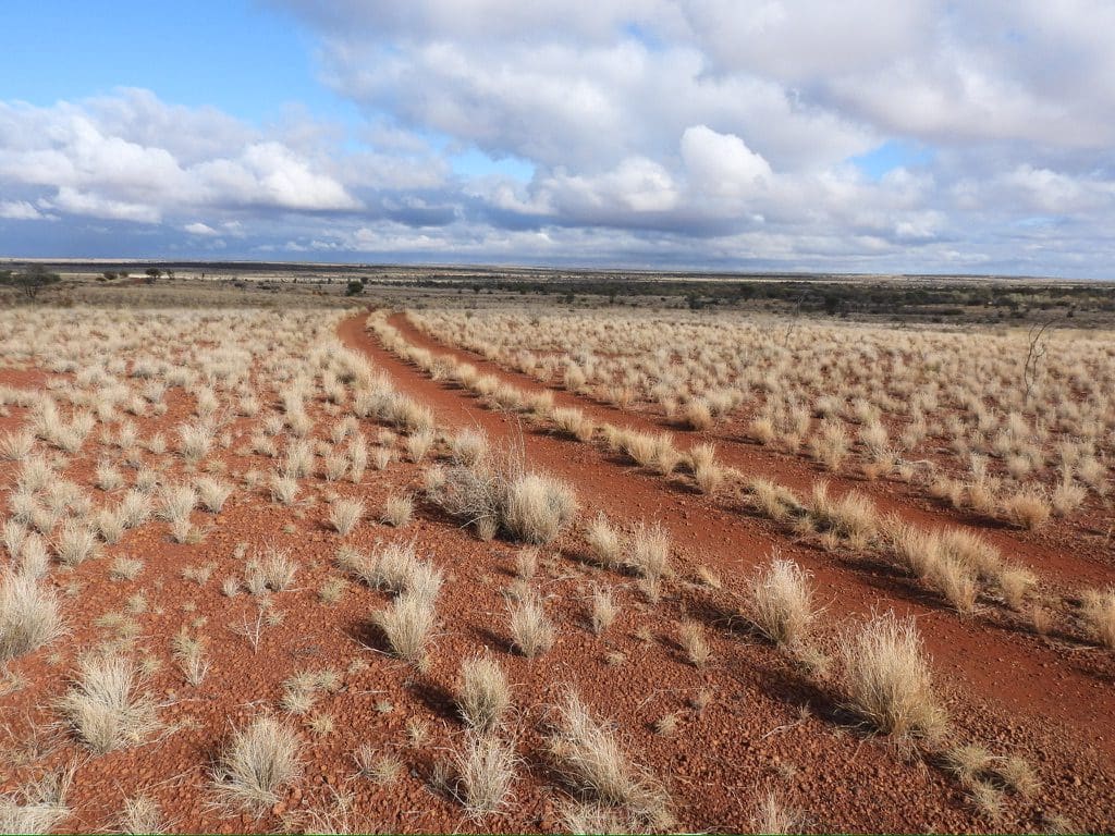
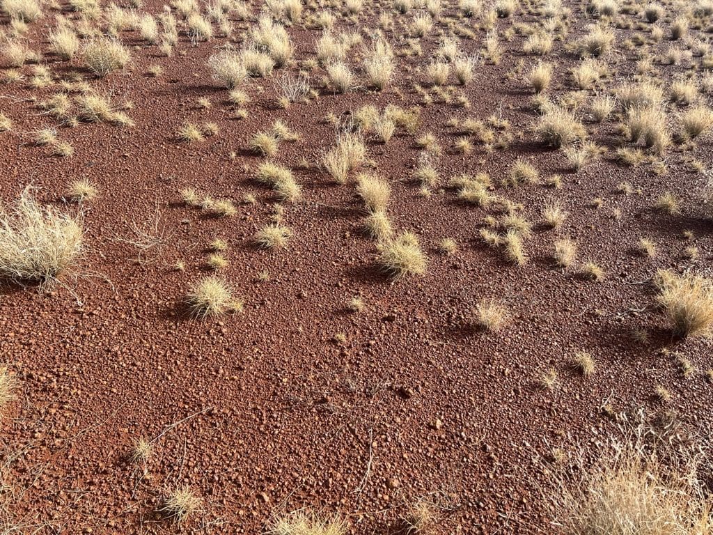
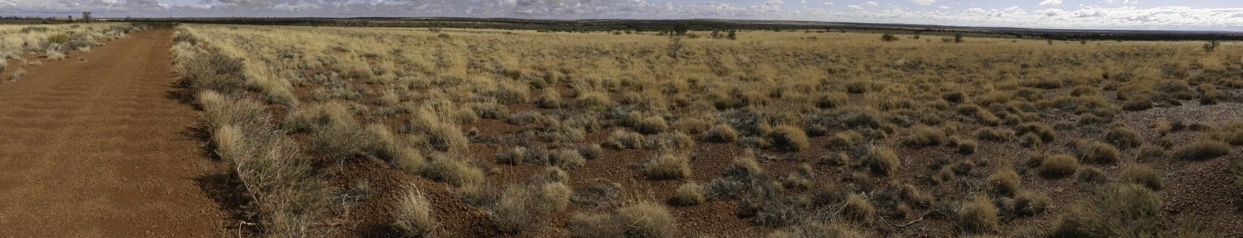
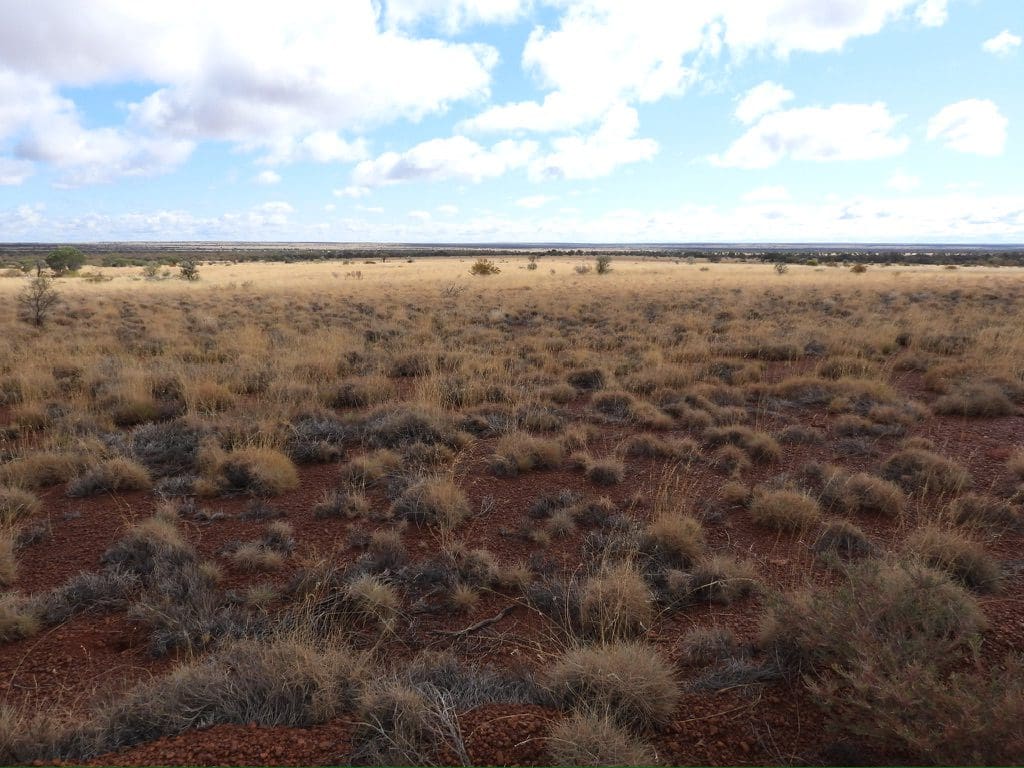
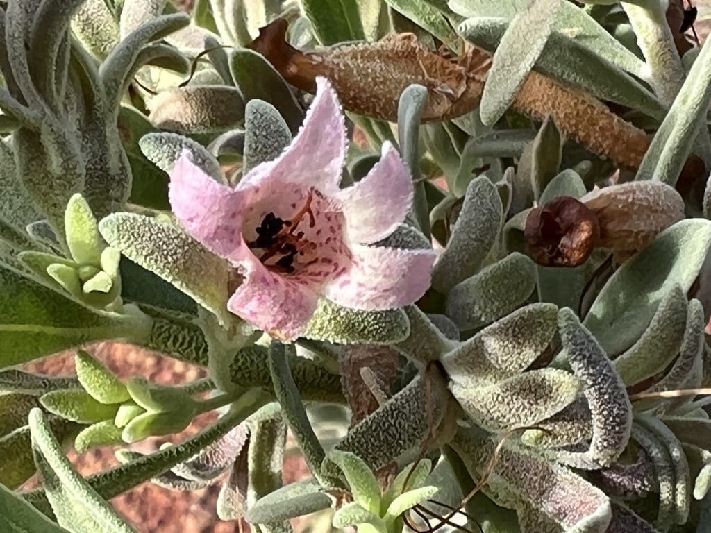
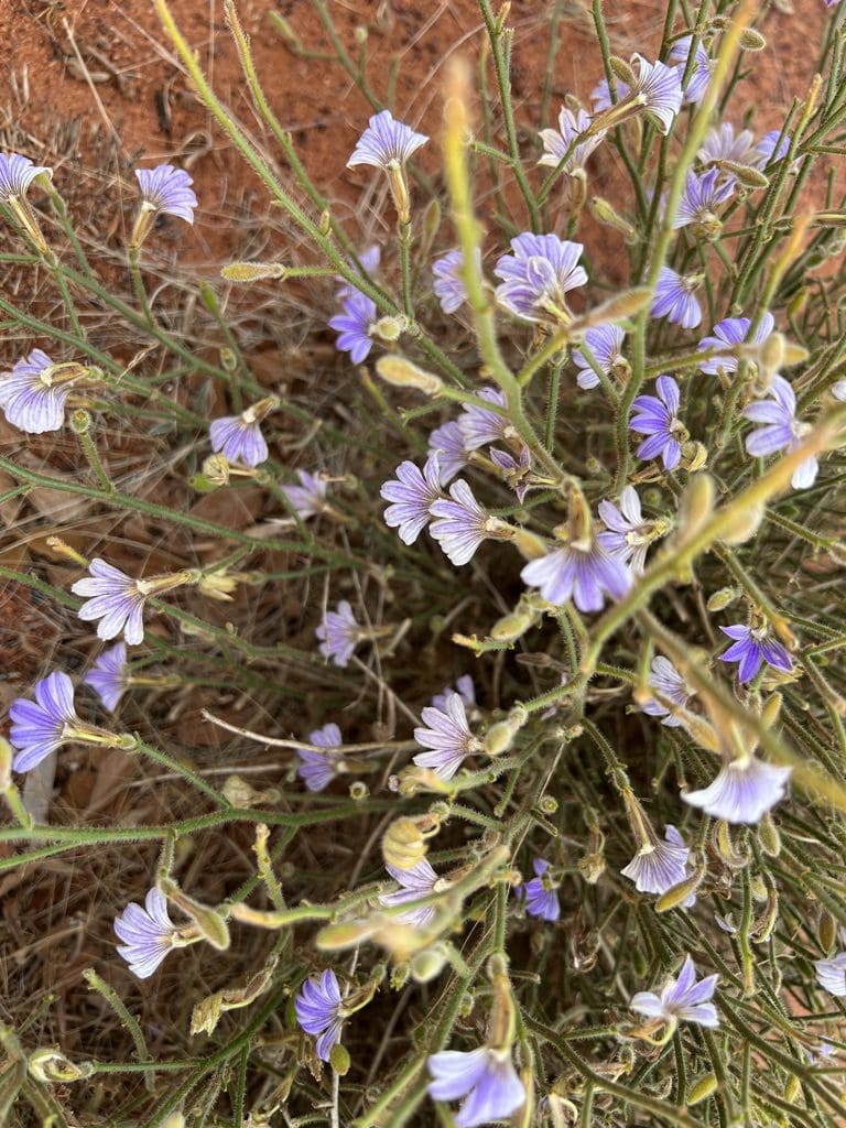
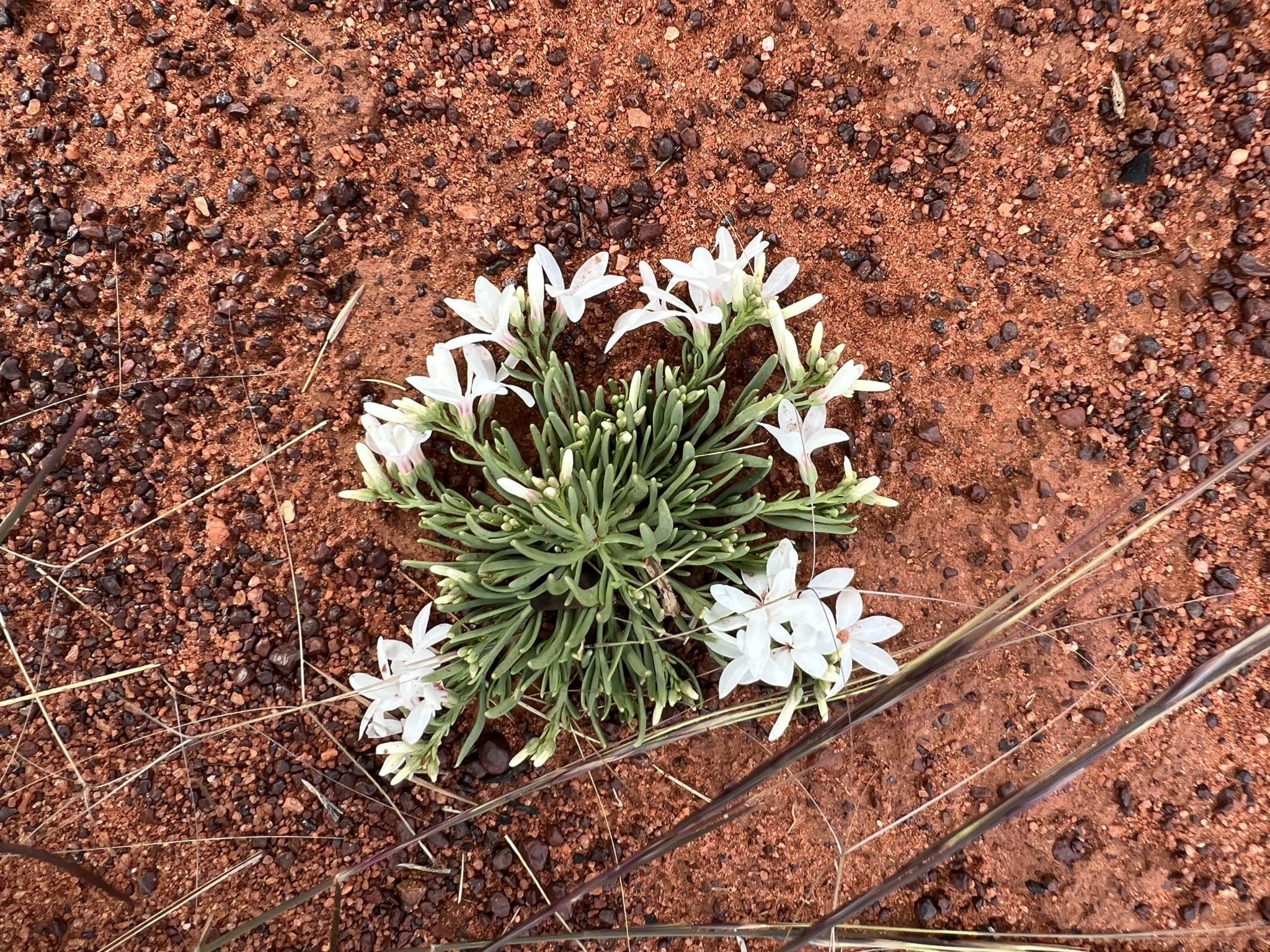
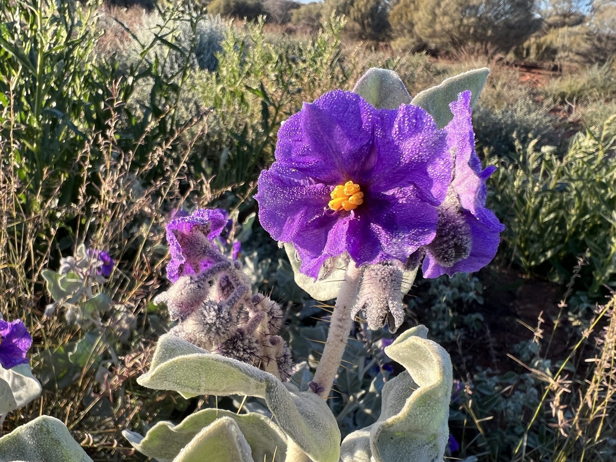
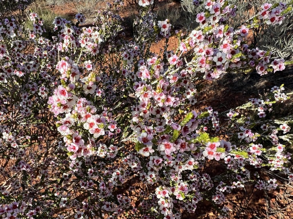
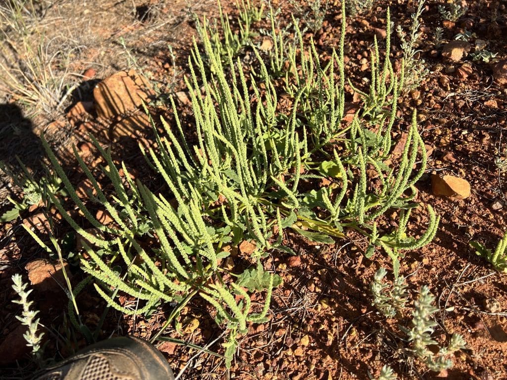
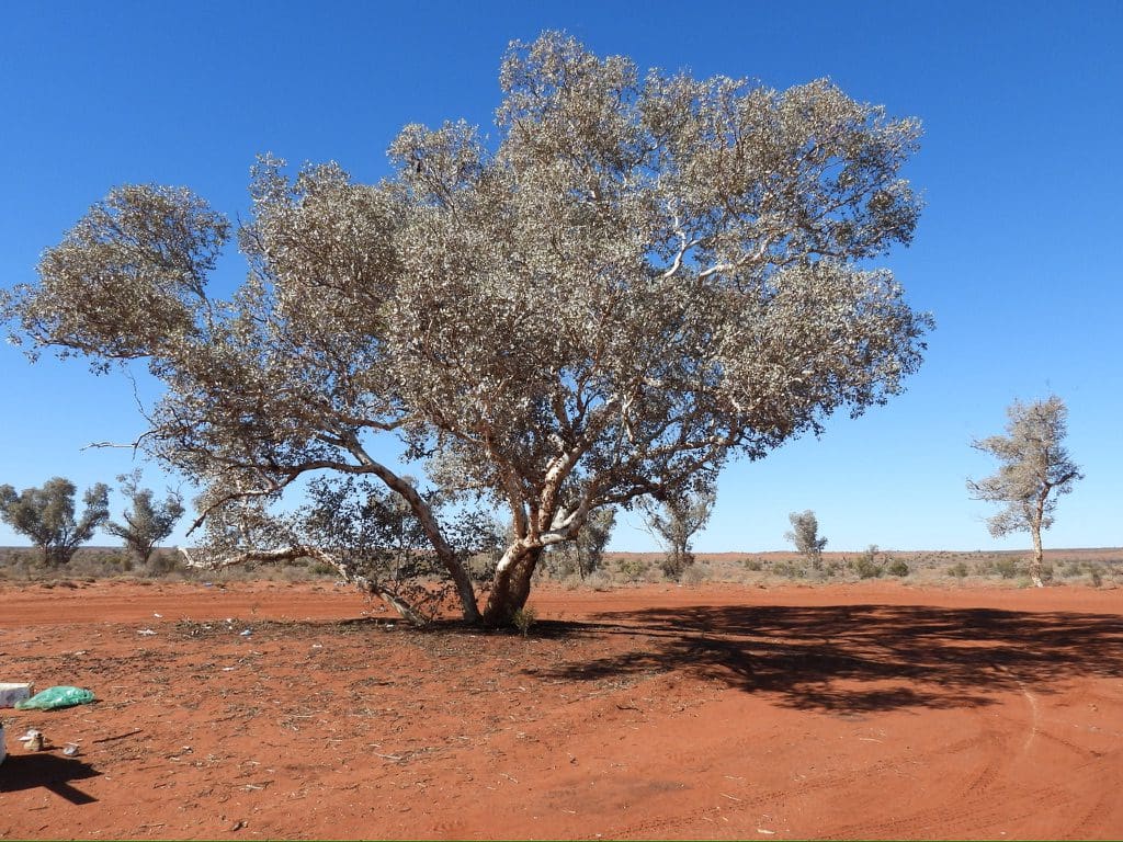
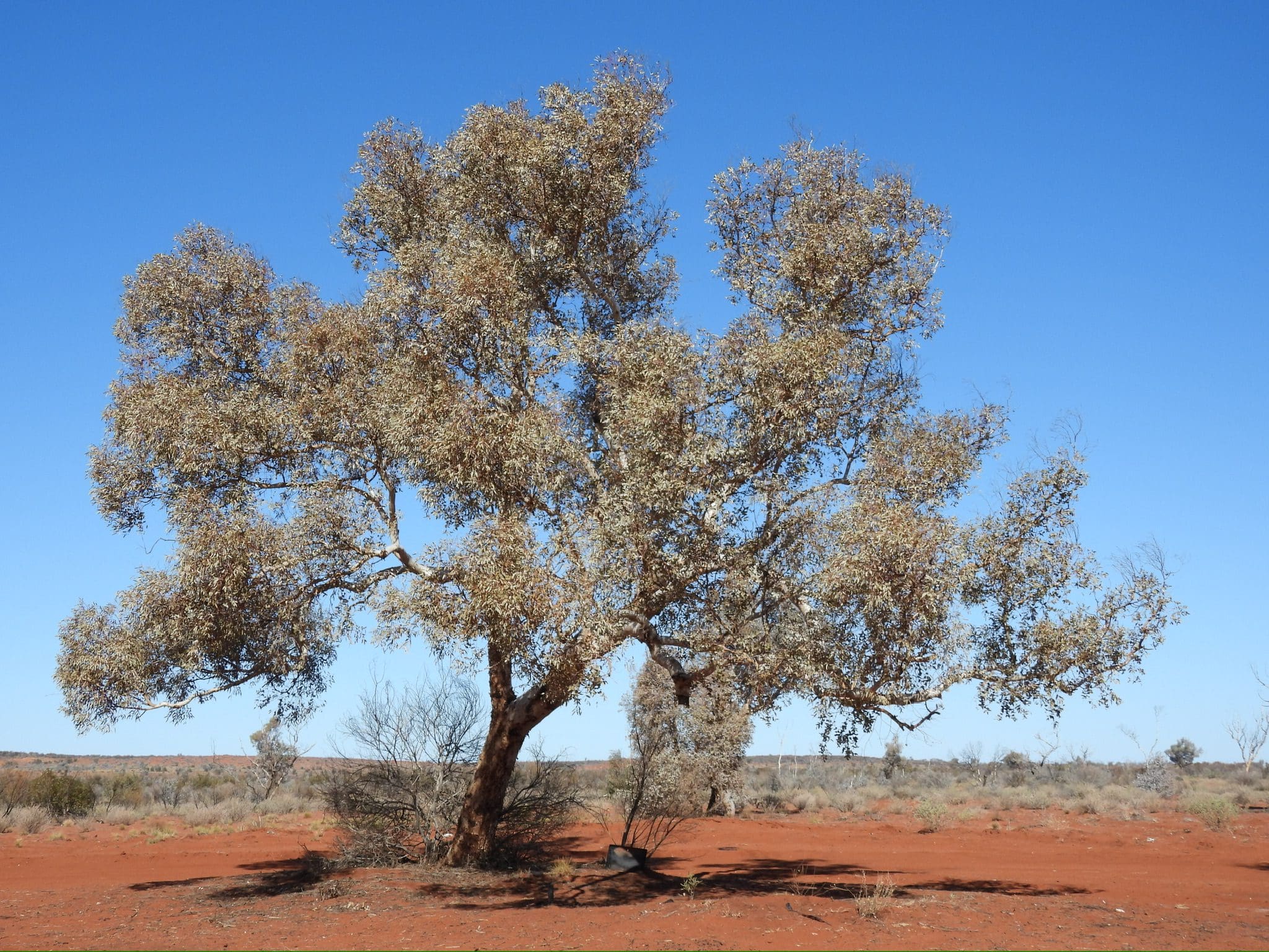
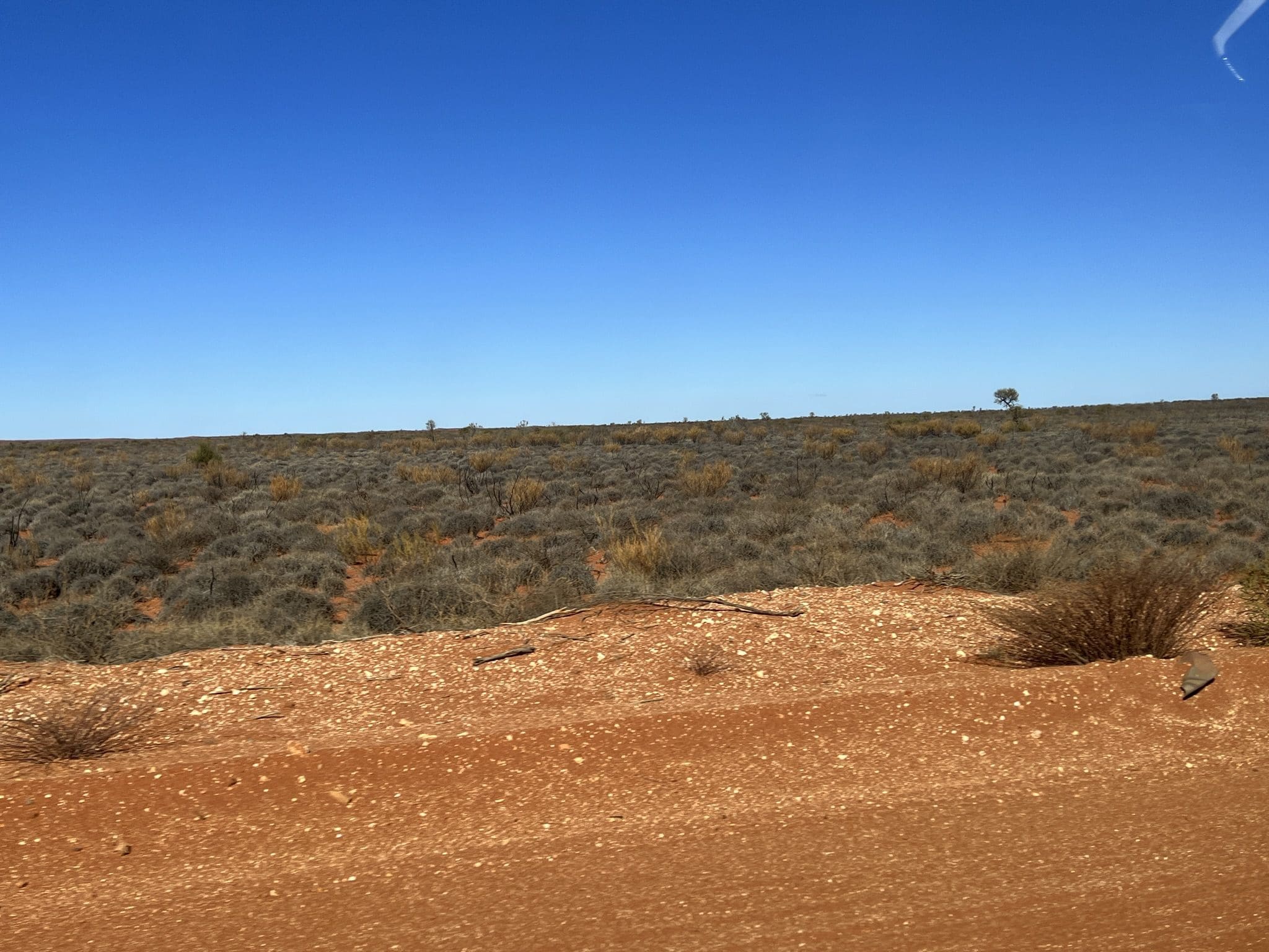
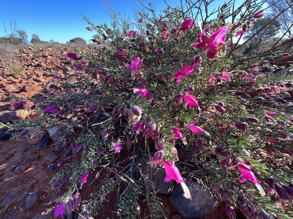
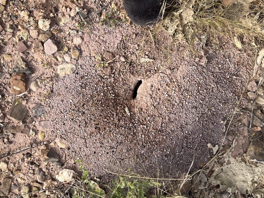
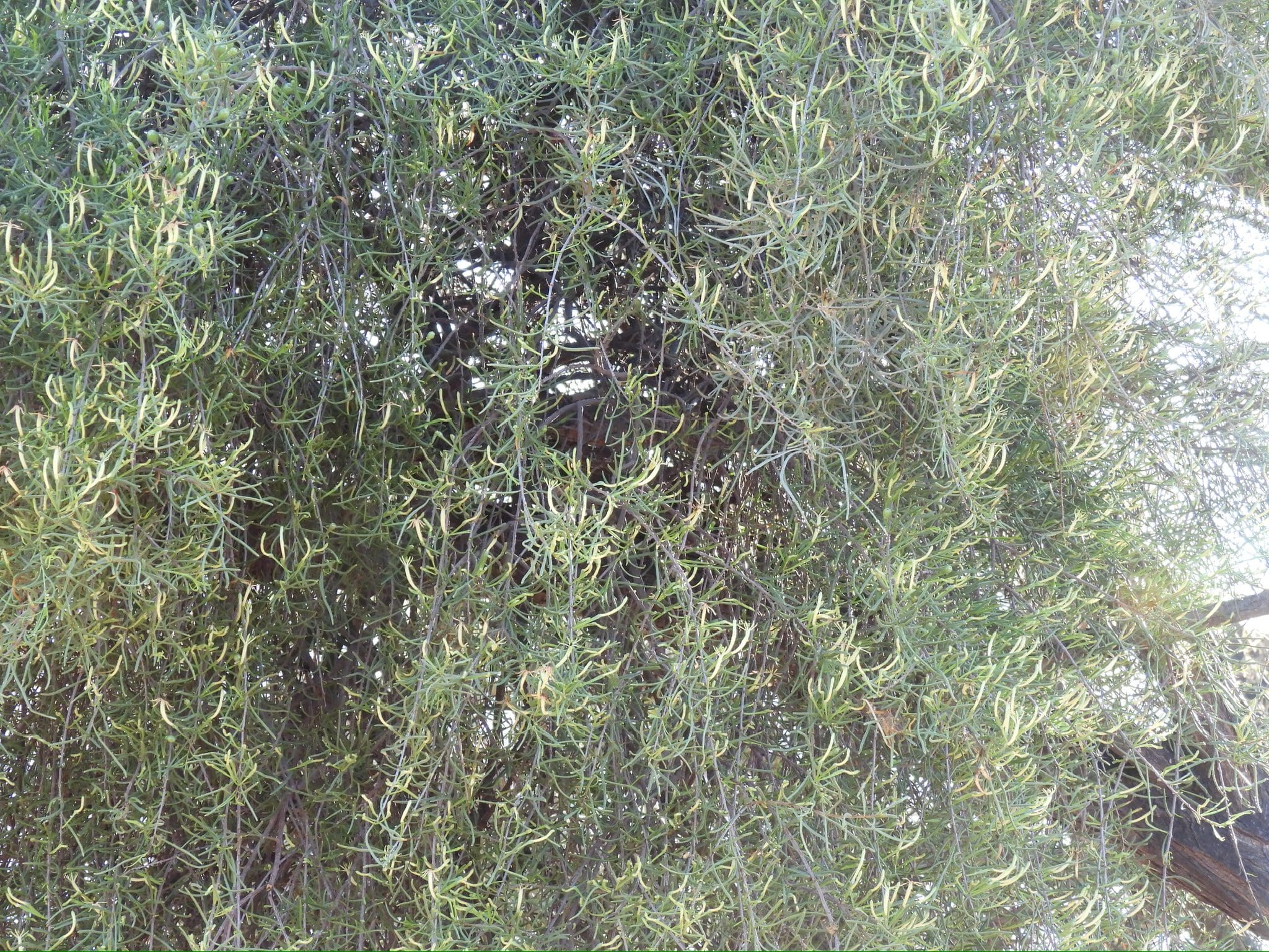
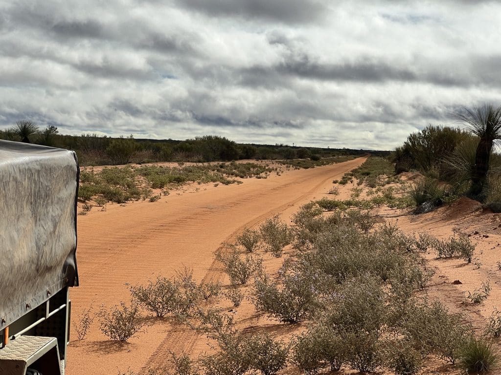
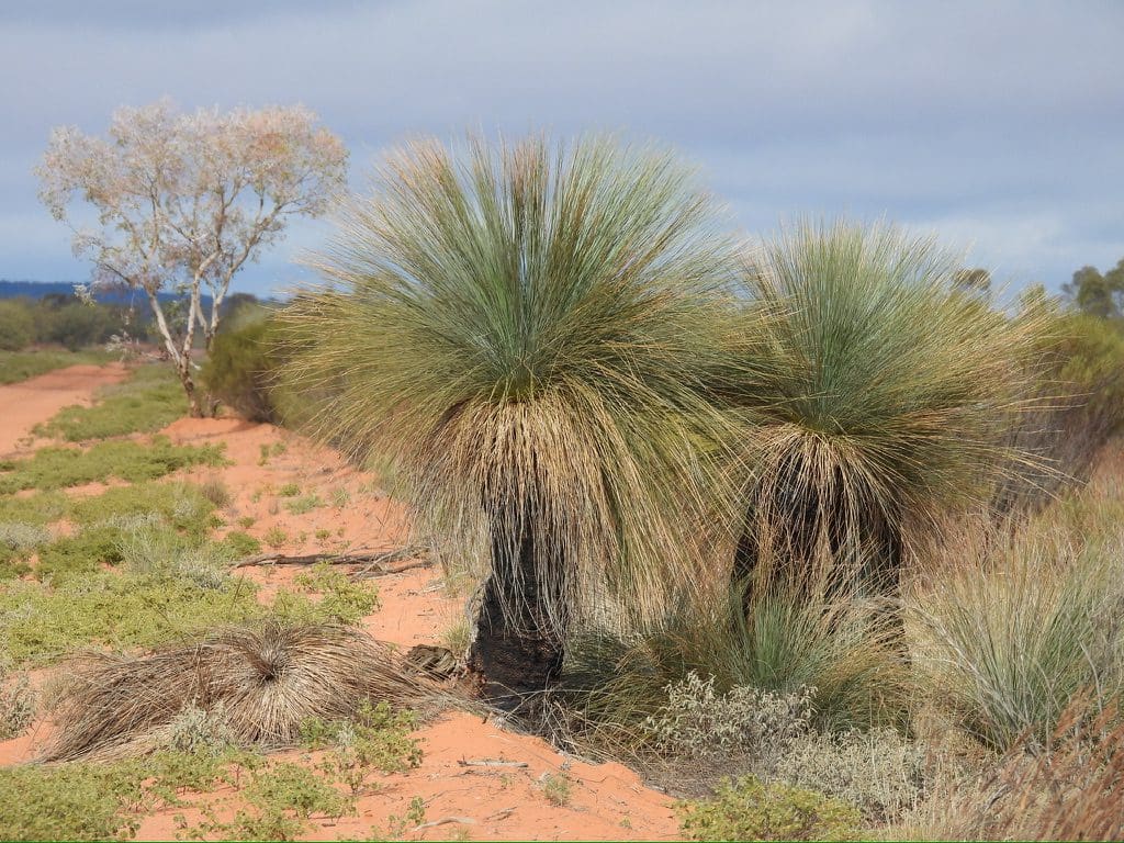
Saturday 17 June. Day 4. A change of time zone yesterday has caused confusion because although some watches have automatically moved most have not. It will eventually sort itself out. Away at 7:30. A slow drive south along the Beadell road. Vegetation is constantly changing yet always the same – mulga, eremophila, Spinifex, desert oaks. I am guessing that the variation is due to the geology/regolith/soil/sand. As we go on this winding (sometimes eroded) track, we cross many low sand dunes and then down into the swales. Vegetation changing but from the same set of species. Ants carry acacia seeds long distances and Spinifex seeds from nearby. About midday we came across a wide spread cobblestone area that originated from the conglomerate mountain range to our west. This rocky region was very difficult and slow to drive through and had its own species of Hakea. Soon after we left that cobbly track into sand again we stopped for lunch at the Beadell half way plaque. After lunch driving south along sandy swales with many stands of desert oak. Quite a few Beadell plaques. He was very accurate. Just a few seconds of arc out each time. Which is extremely good given the number of digits (and possibly slide rule) he would have been using in 1960. Spinifex flowers on very long thin stems vibrating. Are they communicating? At 2:30 we Stopped for the night at a roadside bore so we could have a much needed wash. Cloud cover during the night kept the temperatures from dropping. The track much washed out with many resulting deviations. We remain amazed at the extensive stands of desert oak.
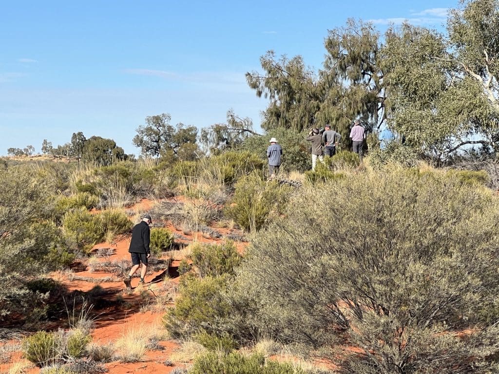
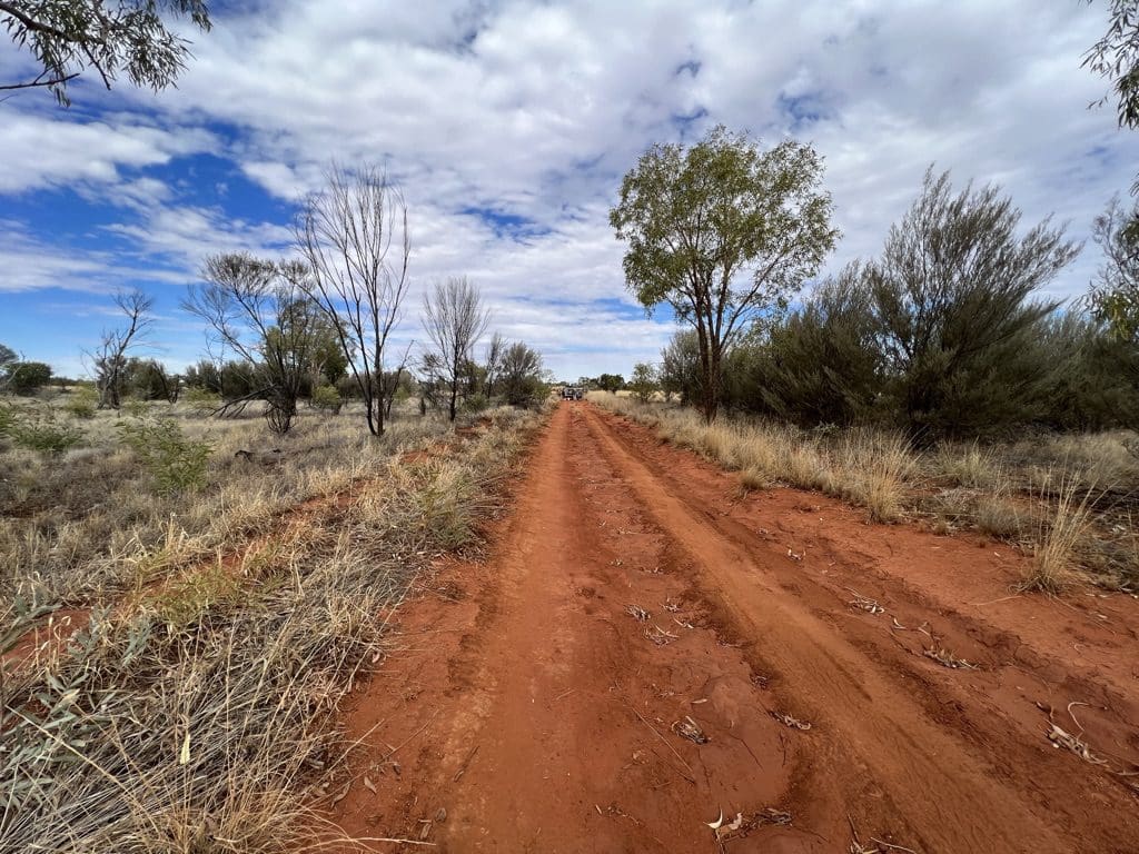
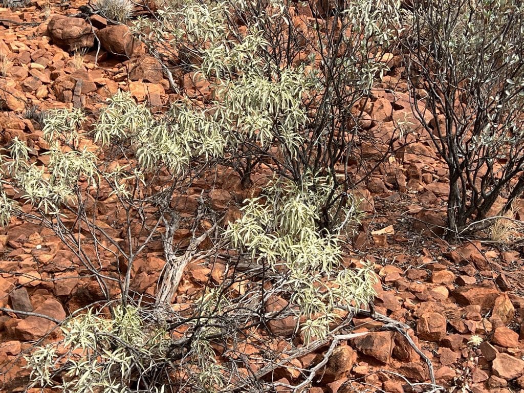
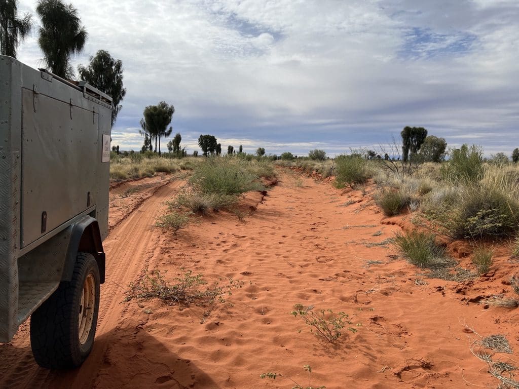
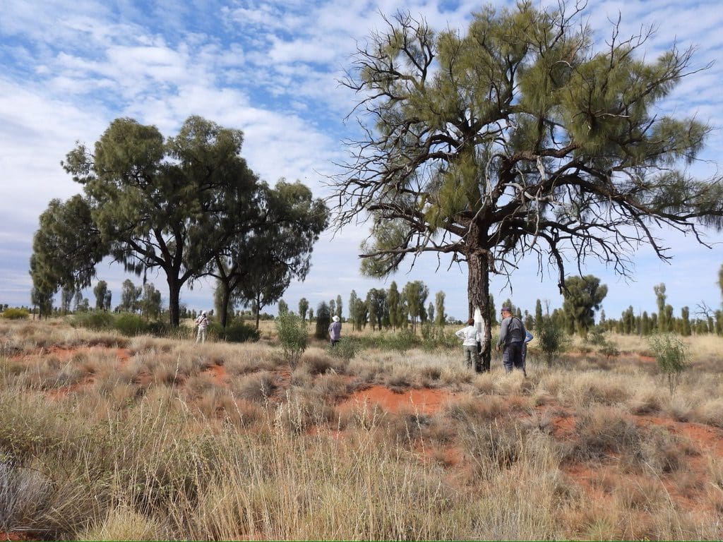
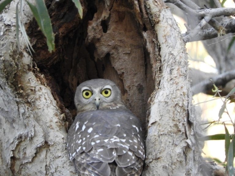
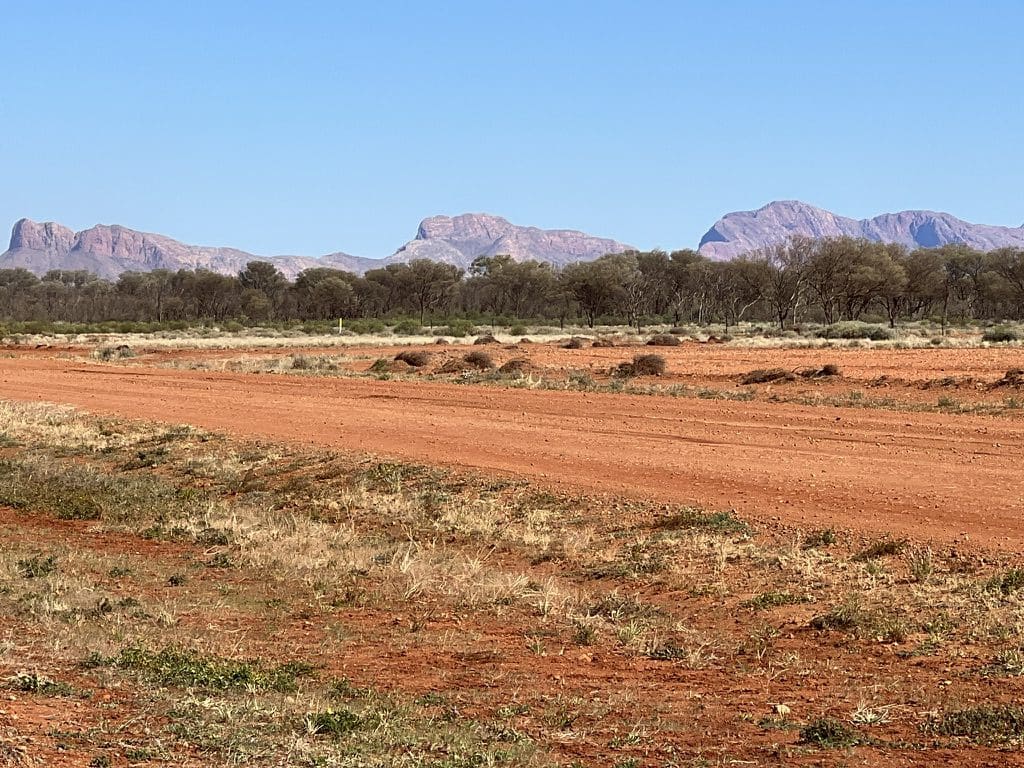
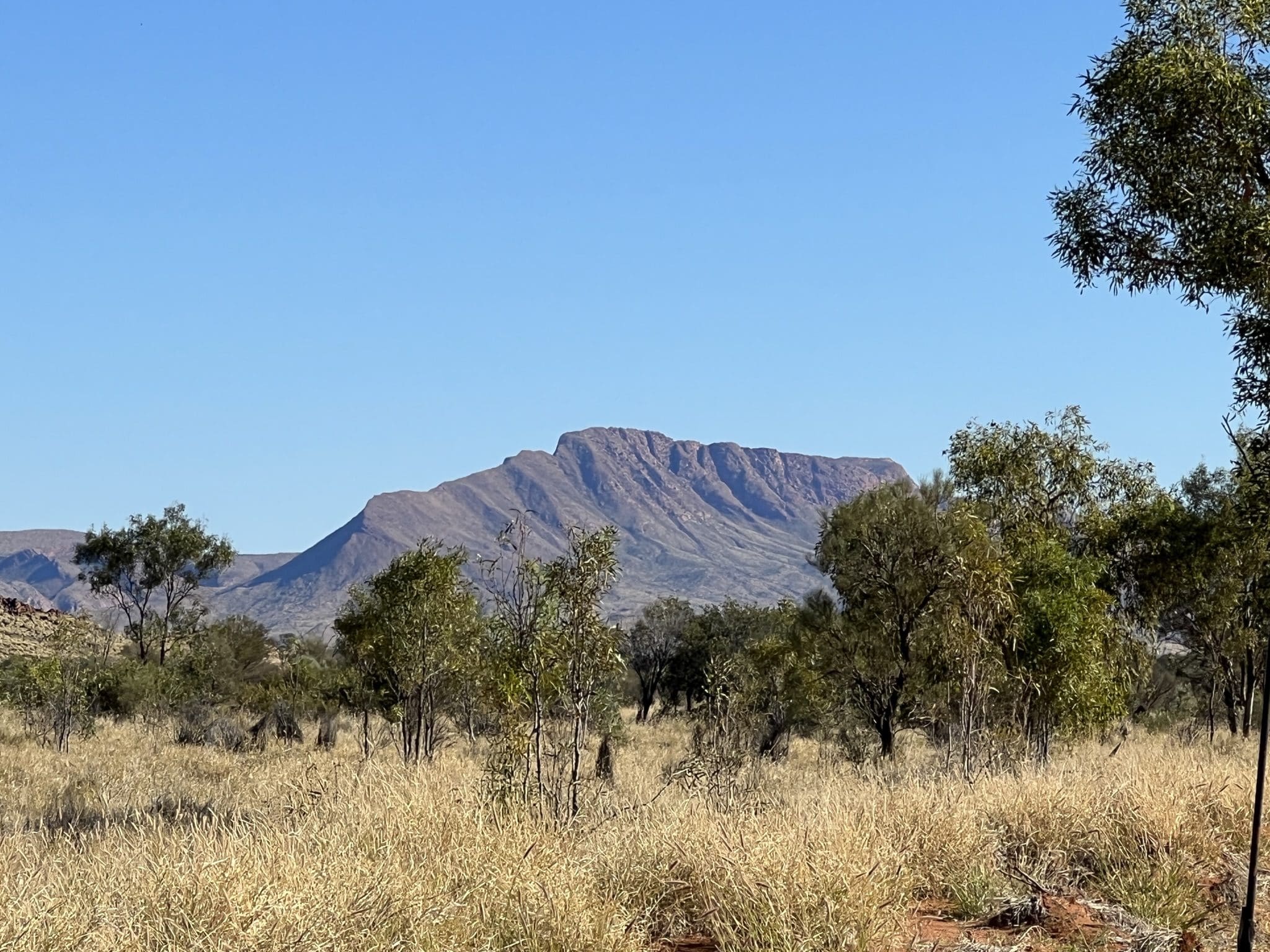
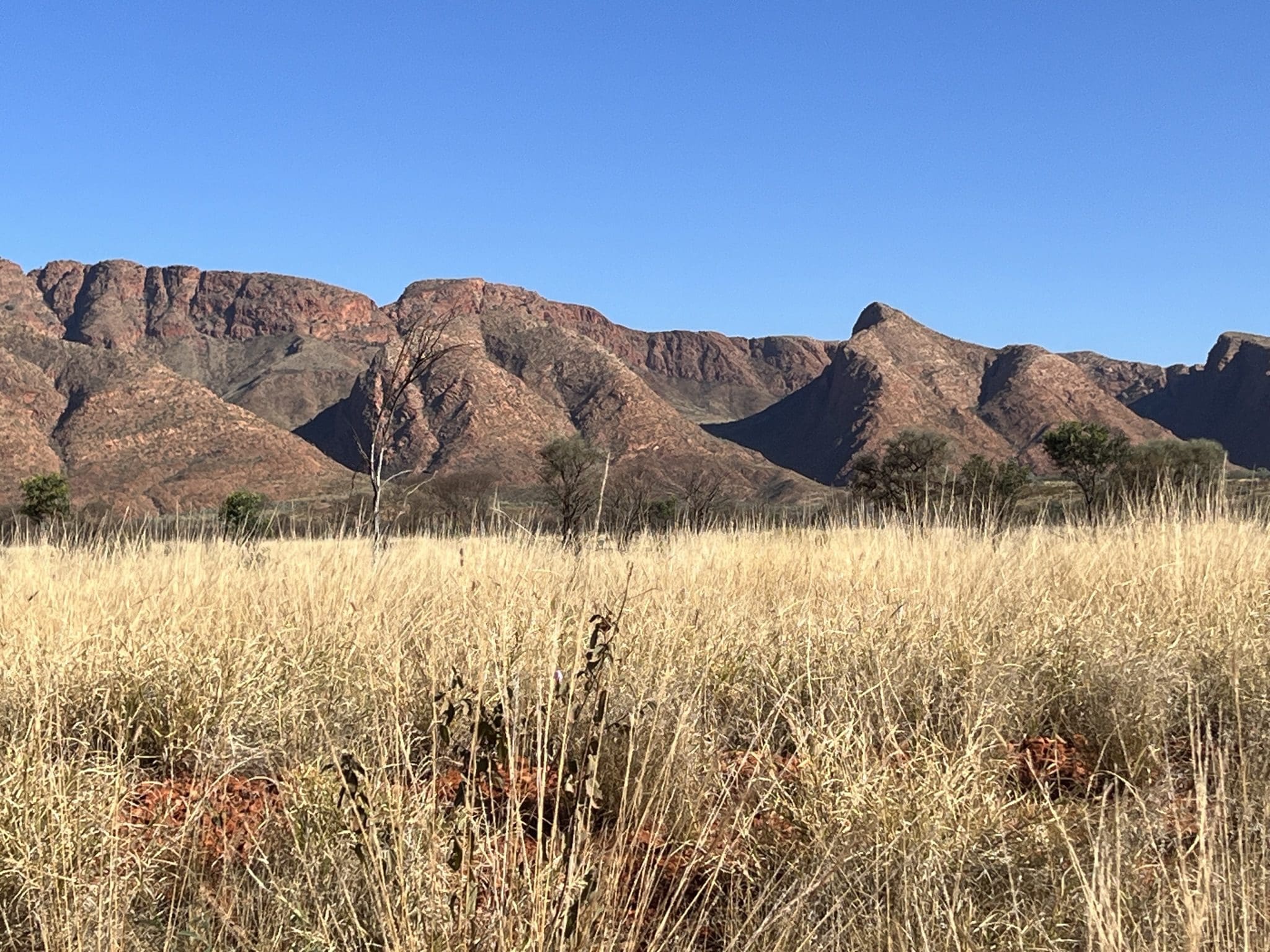
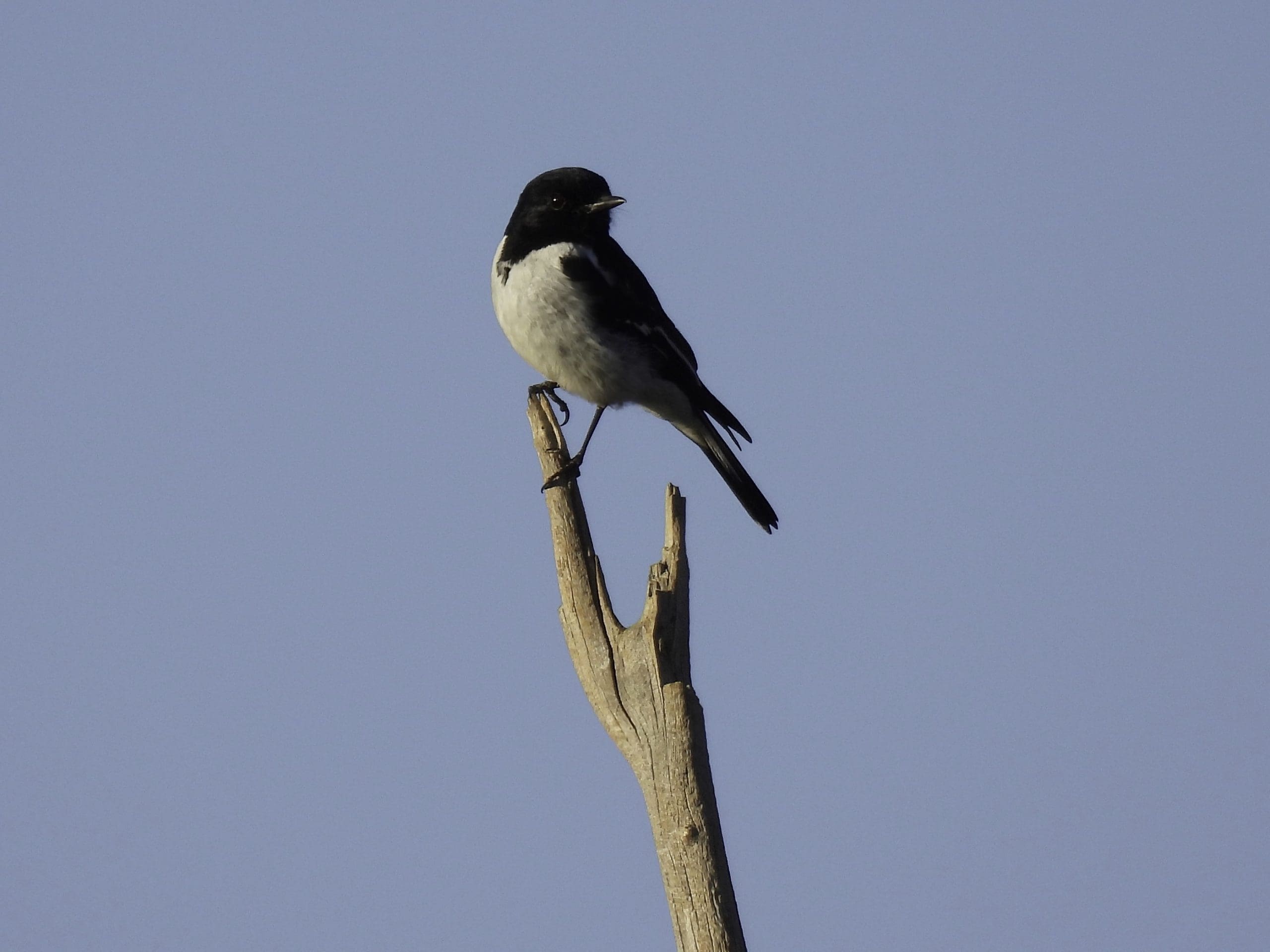
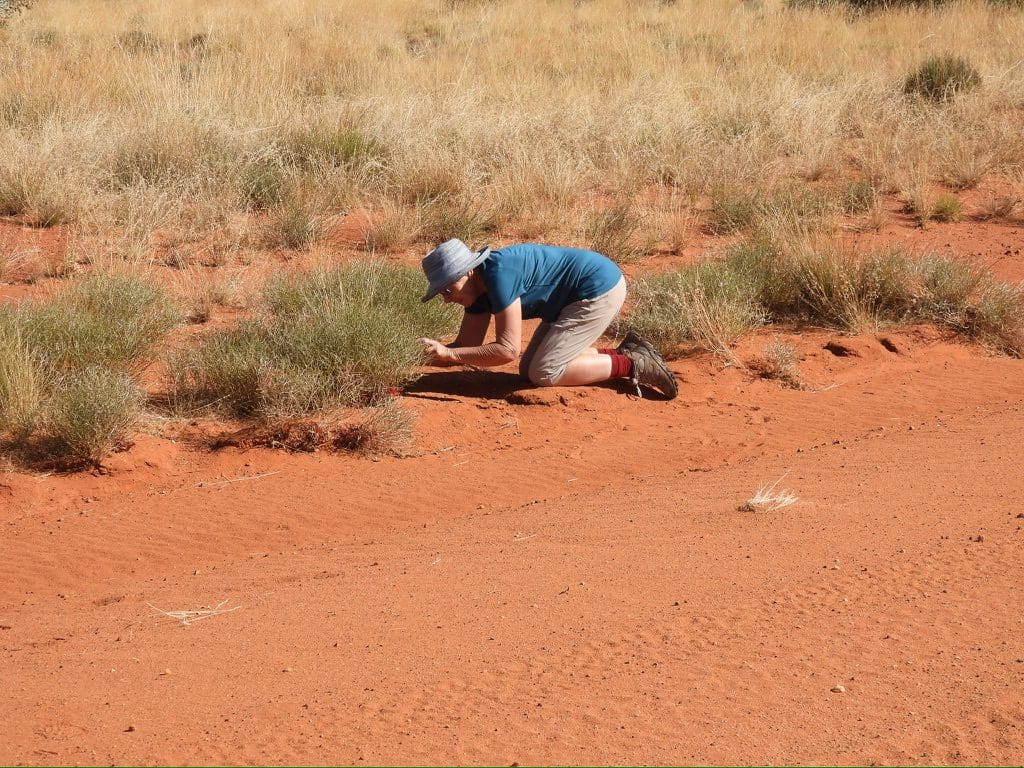
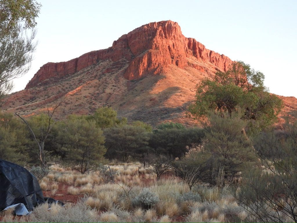
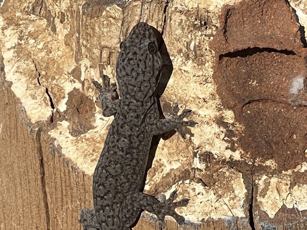
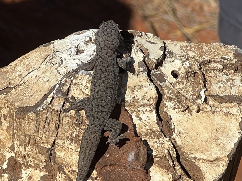
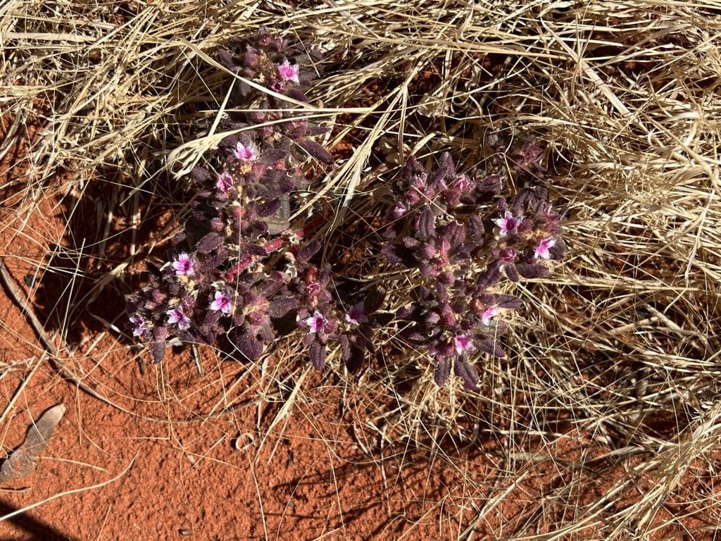
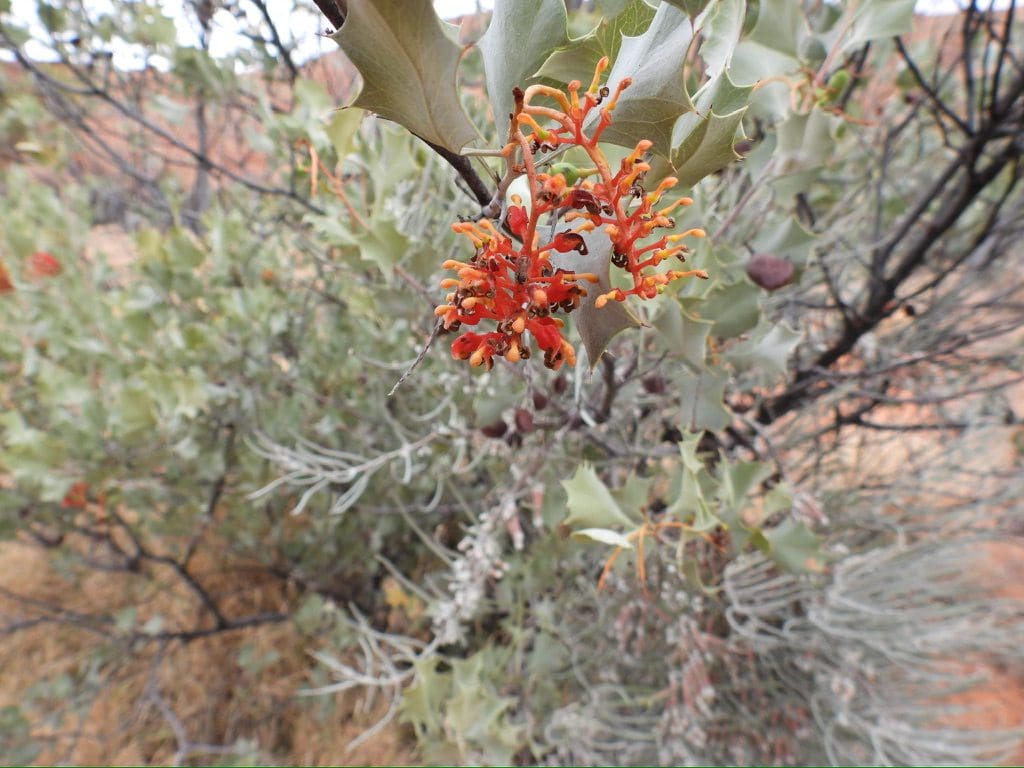
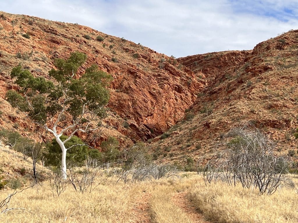
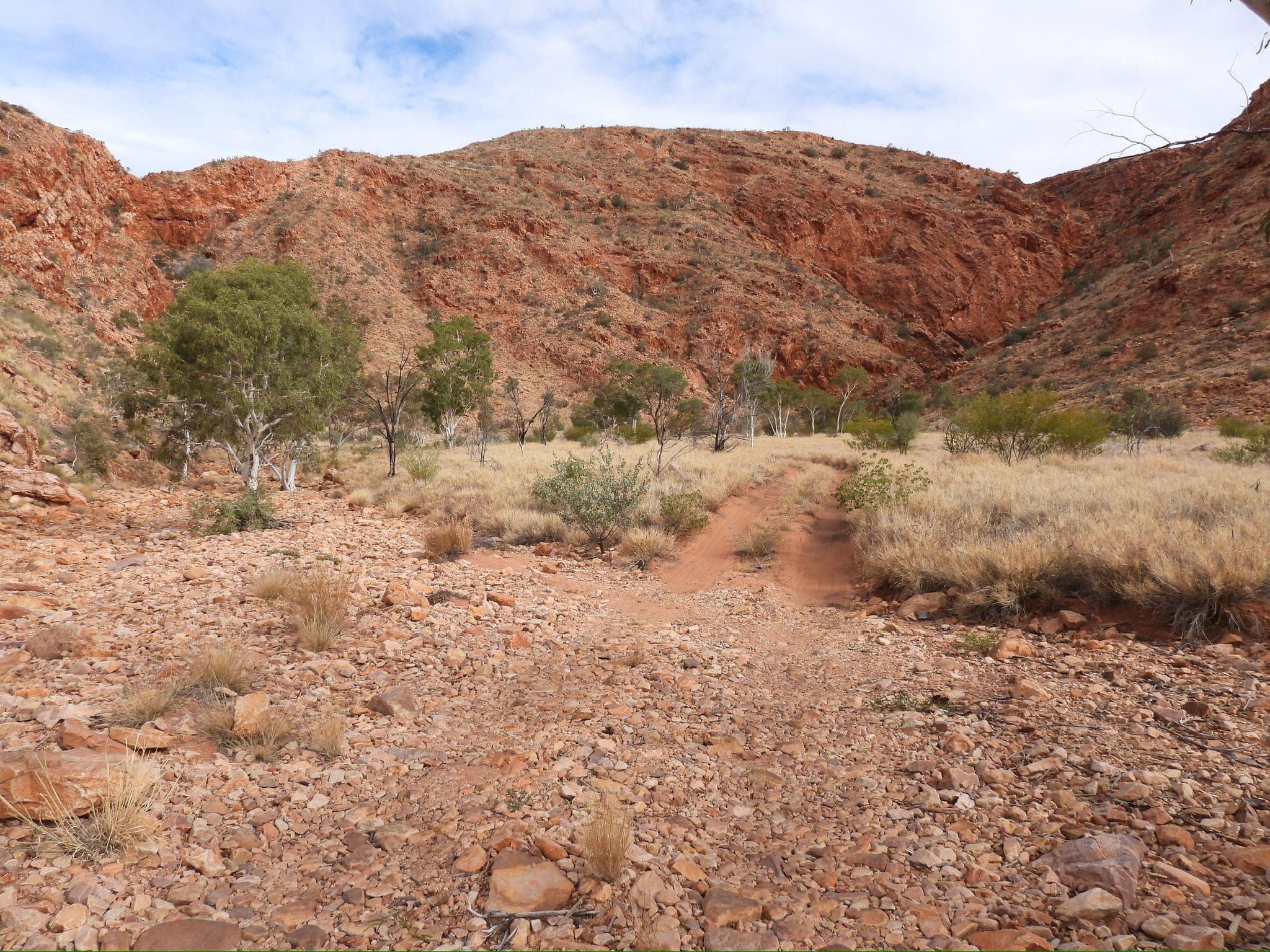
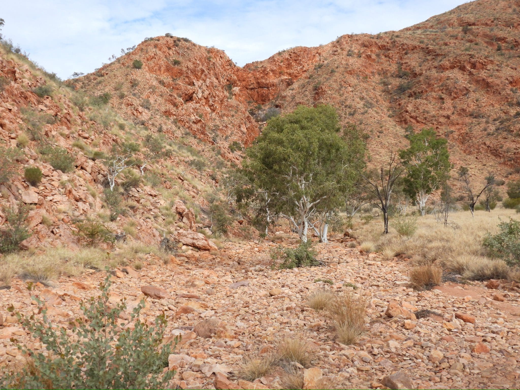
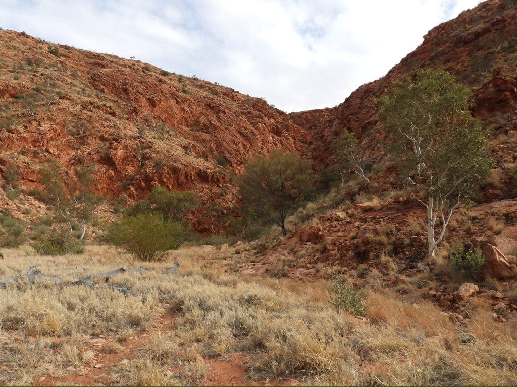
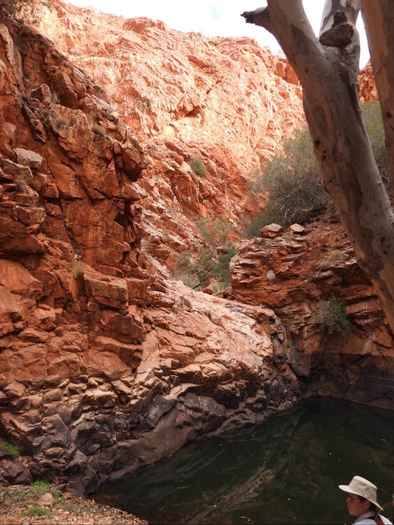
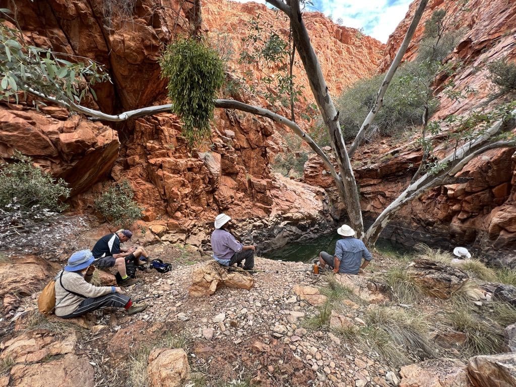
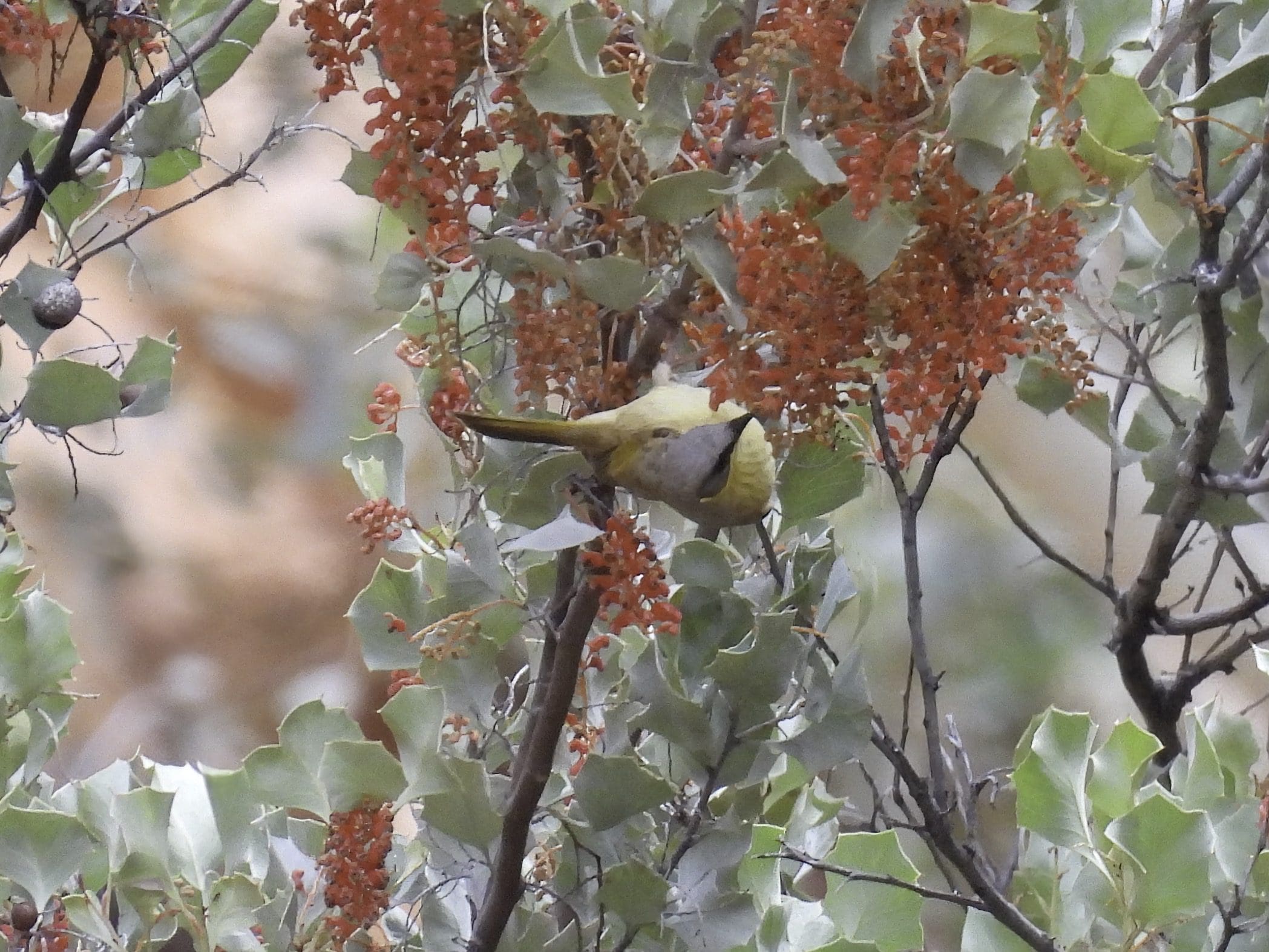
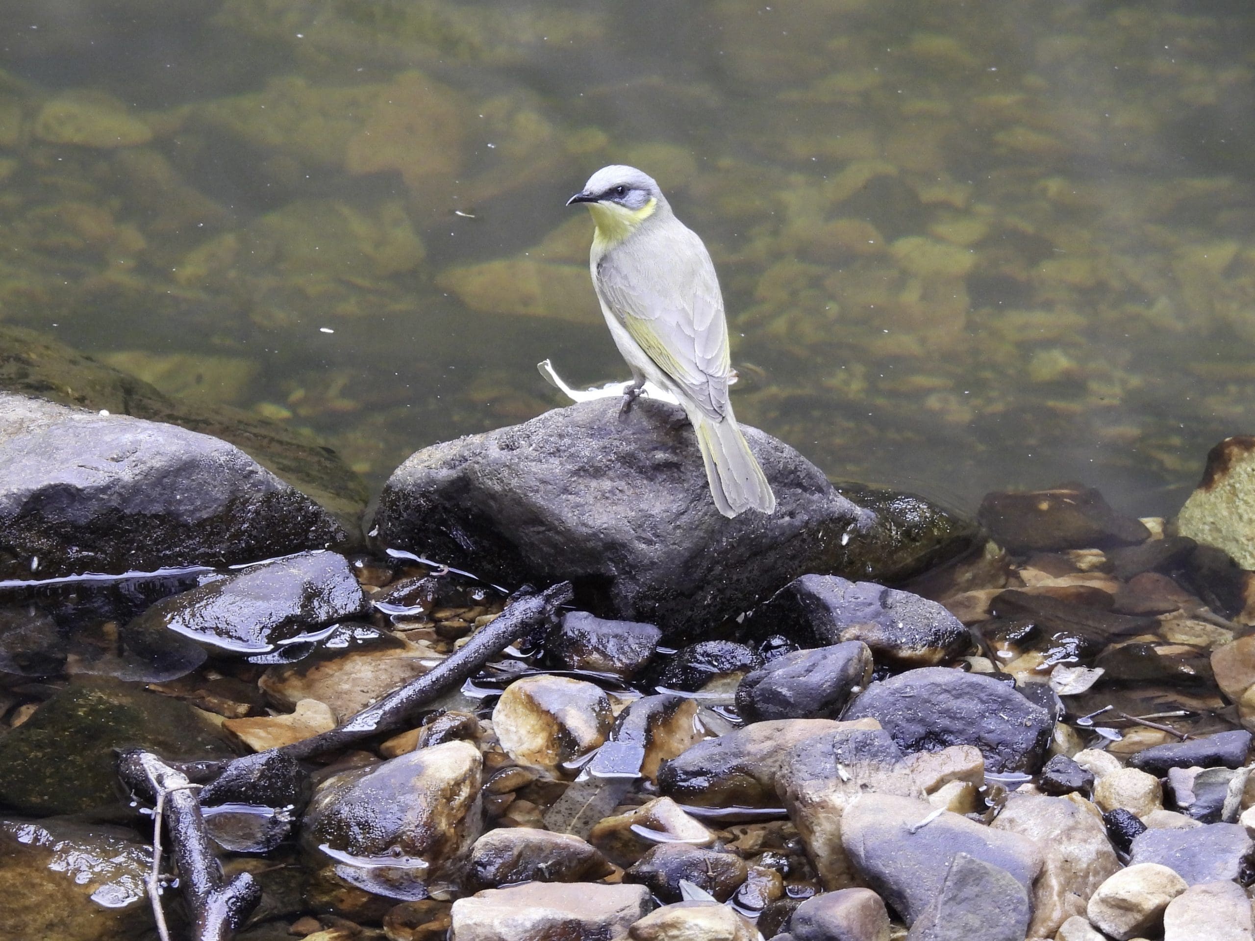
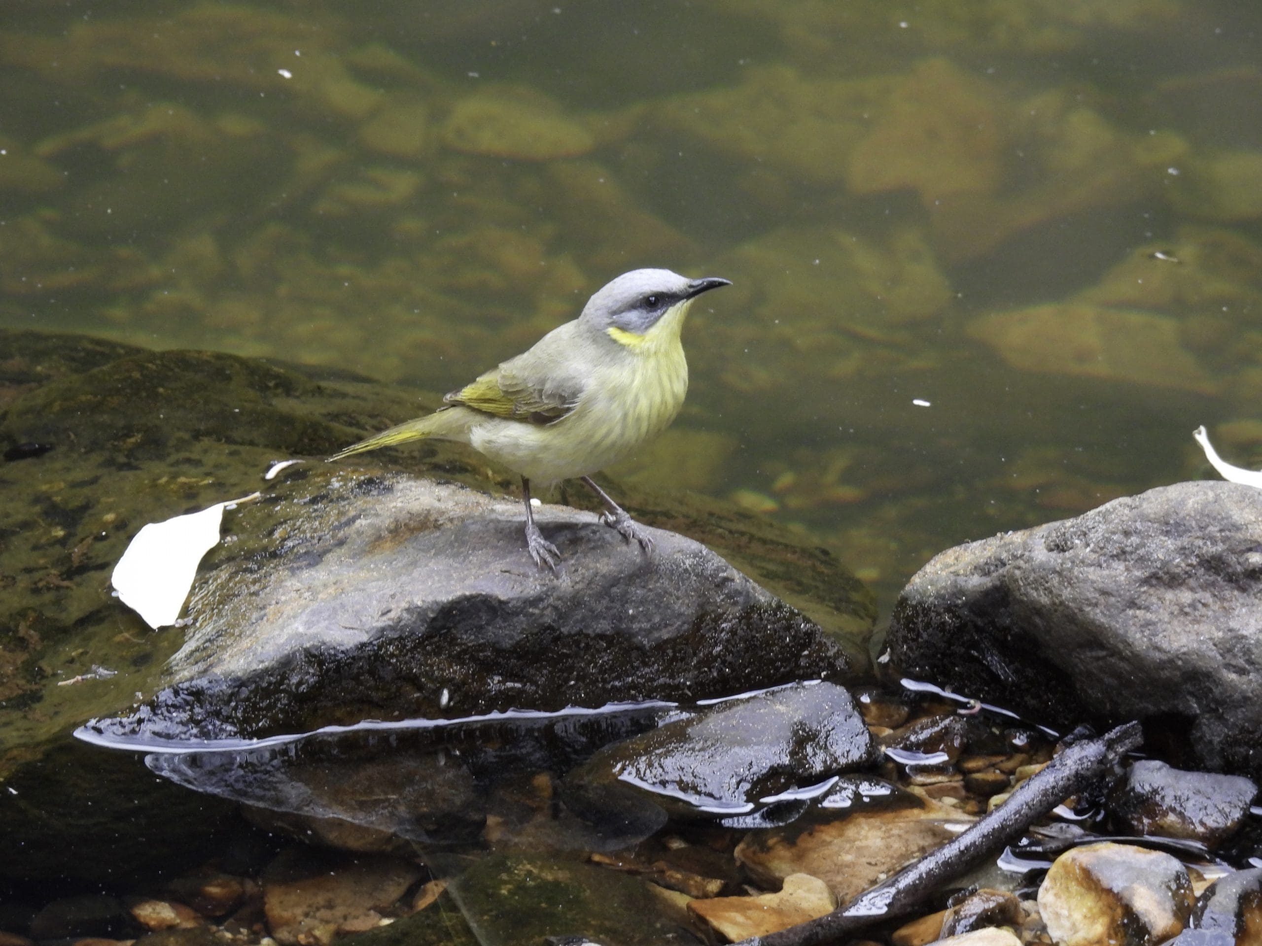
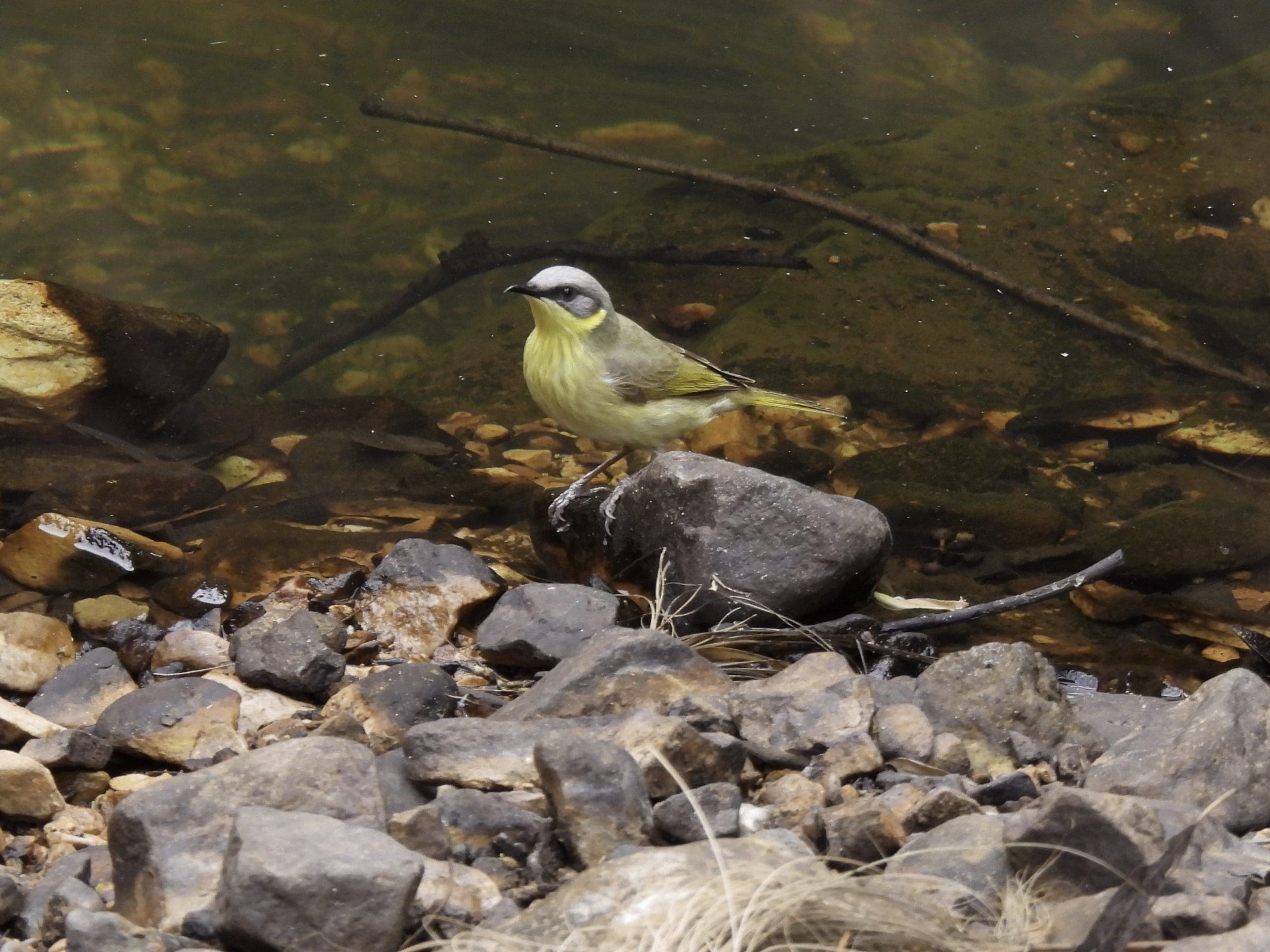
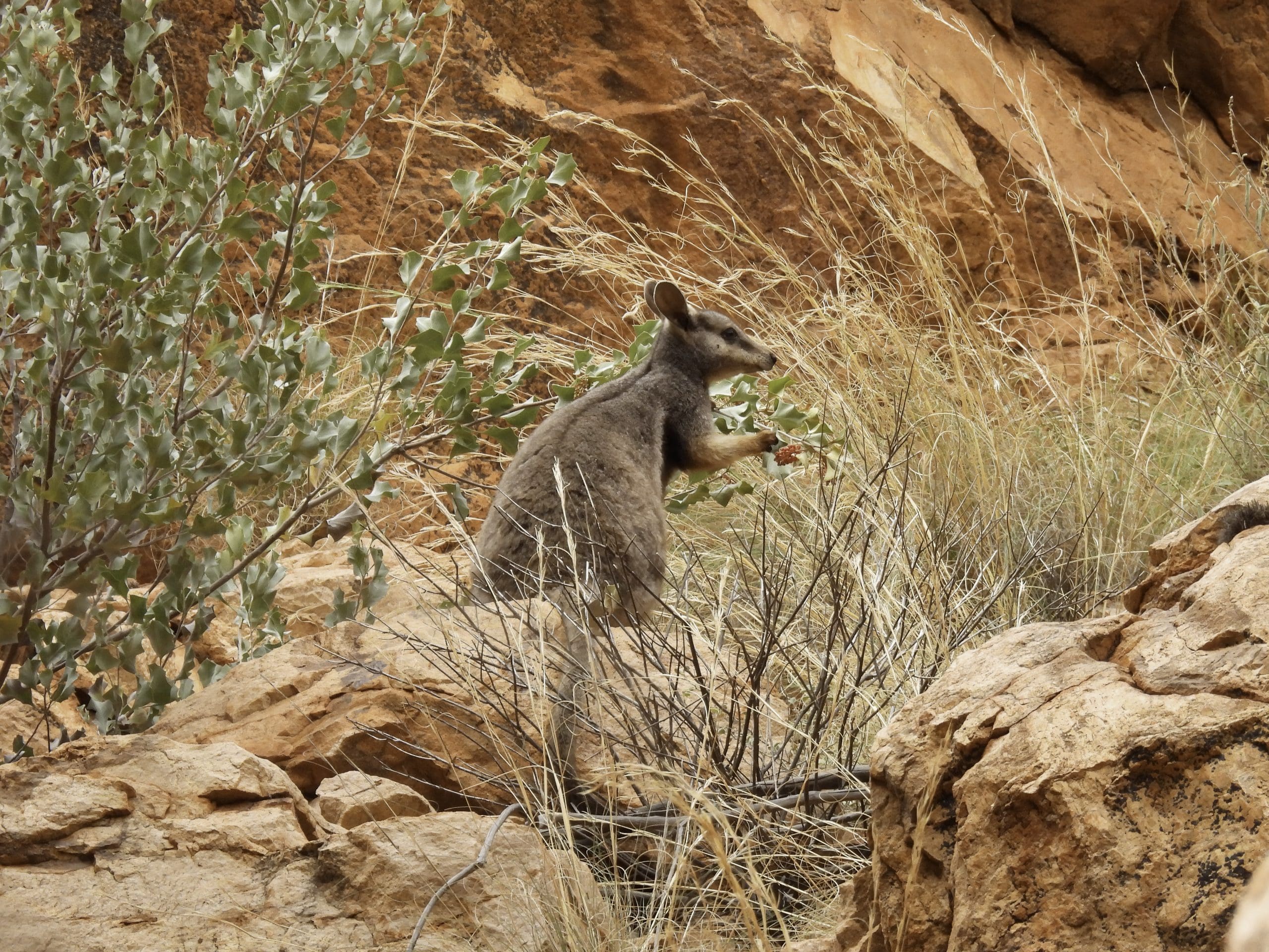
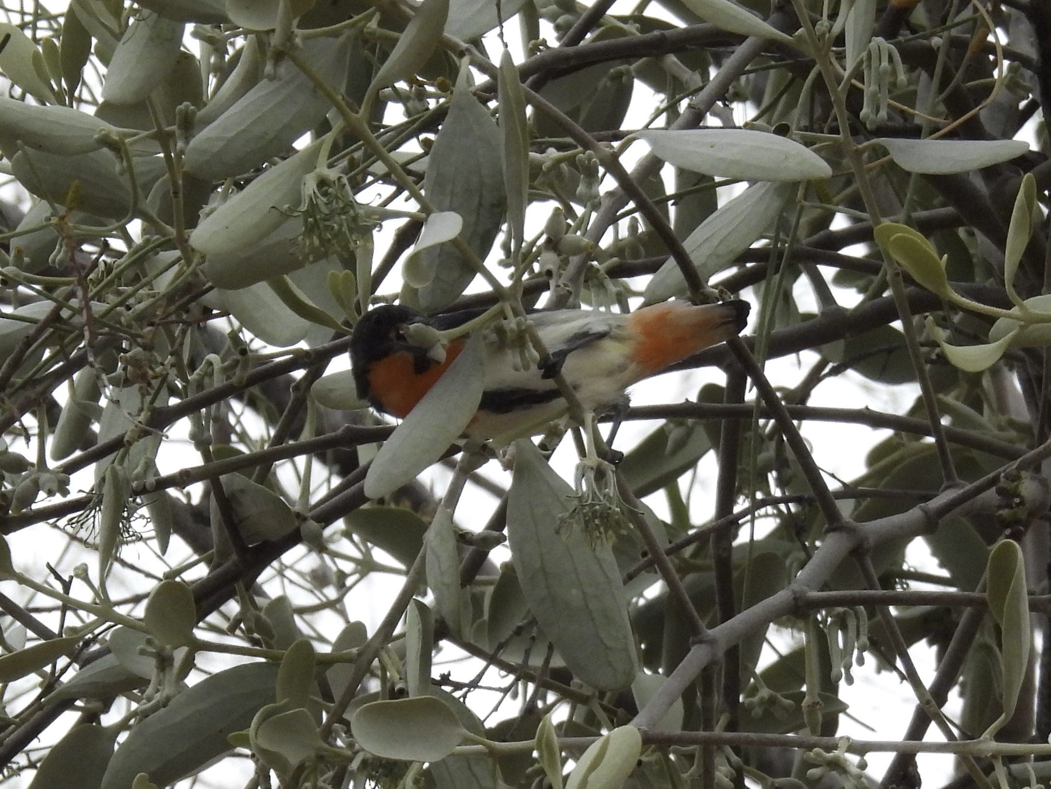
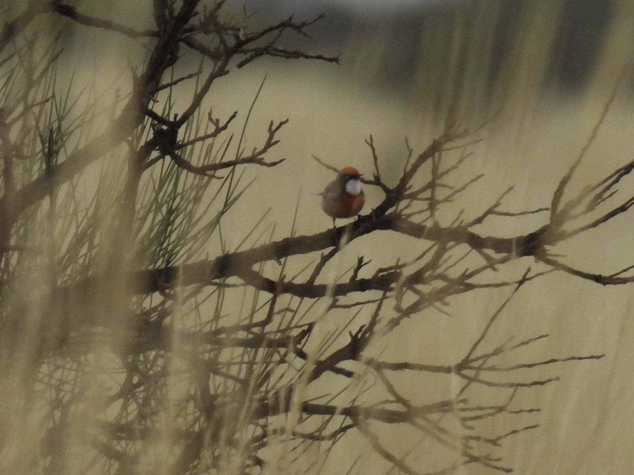
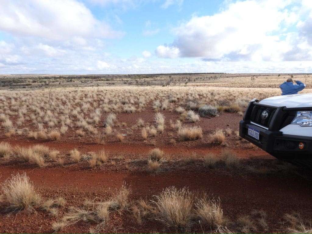
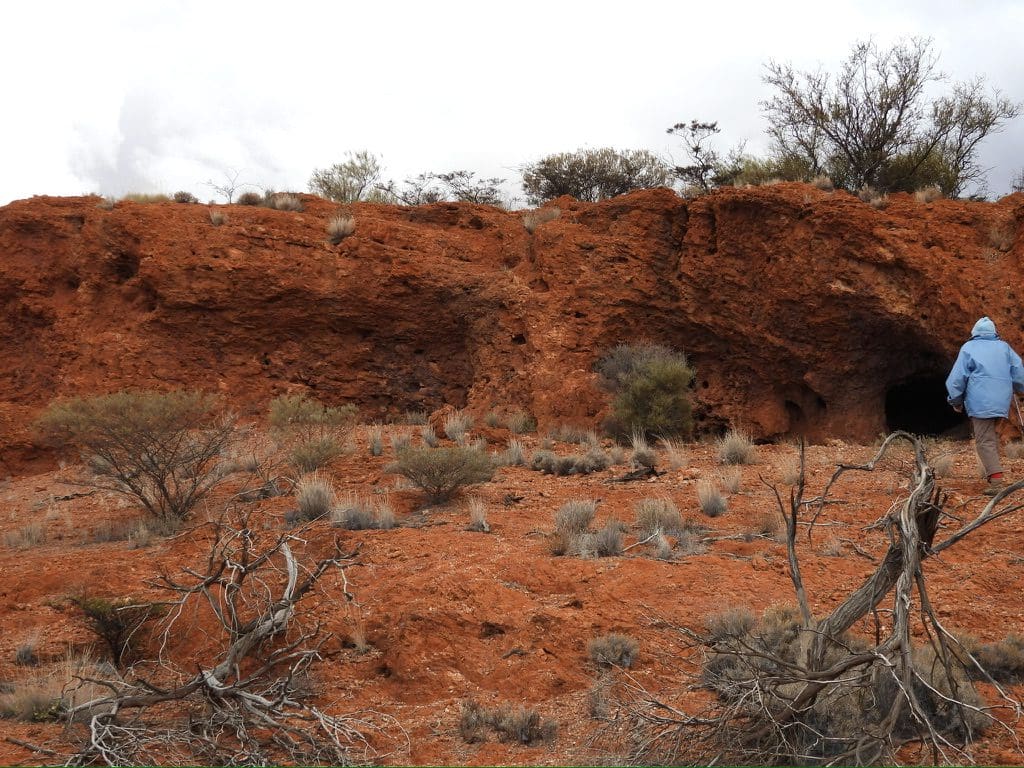
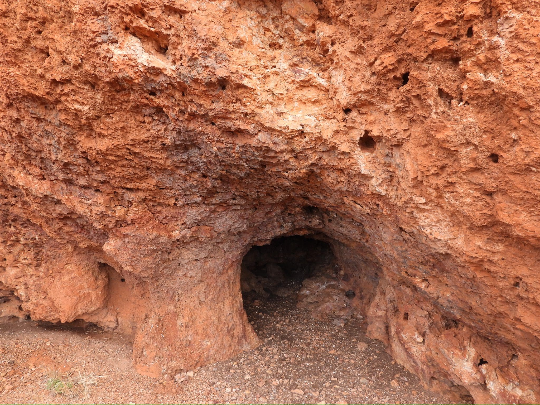
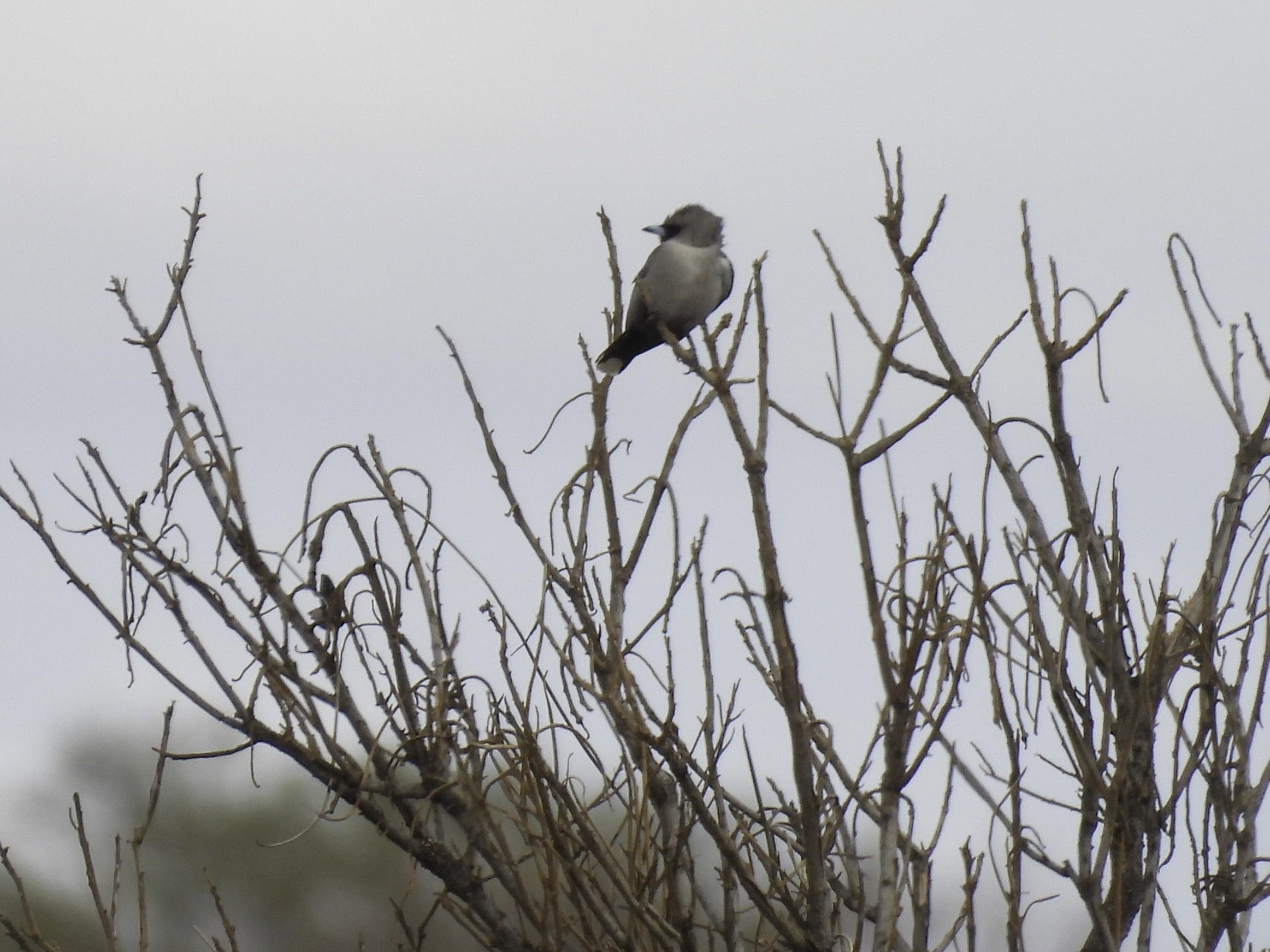
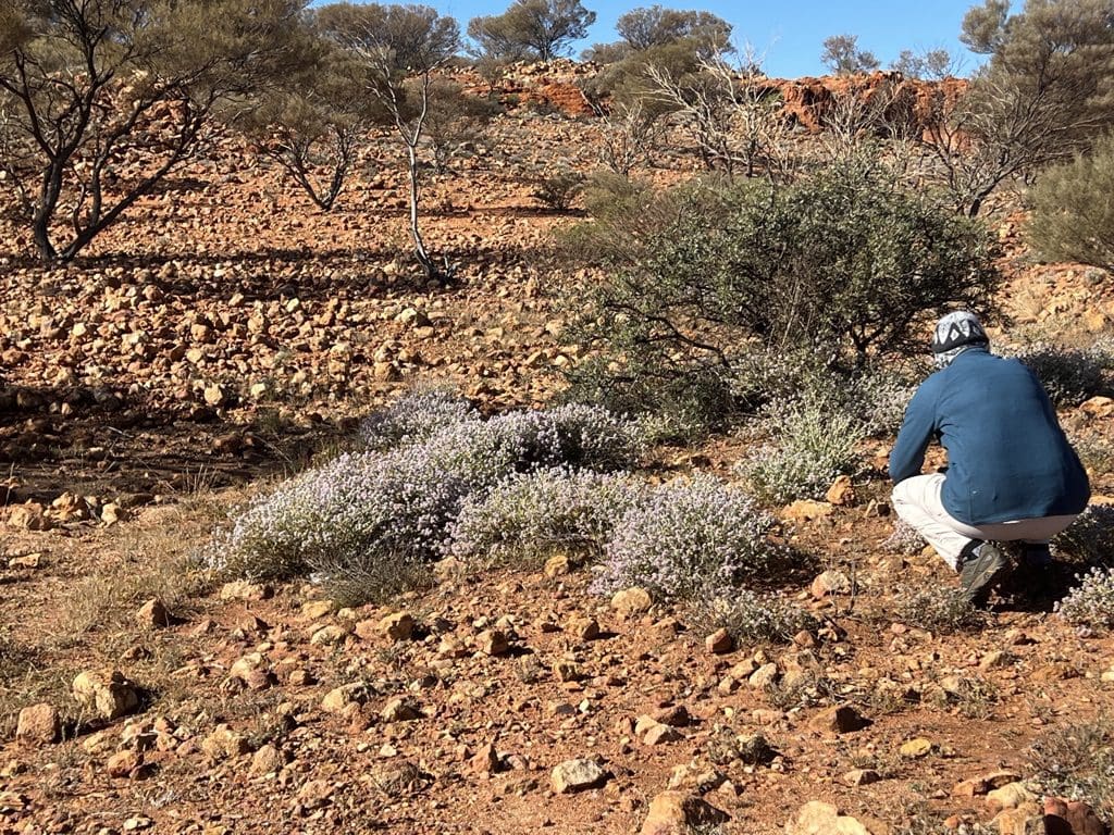
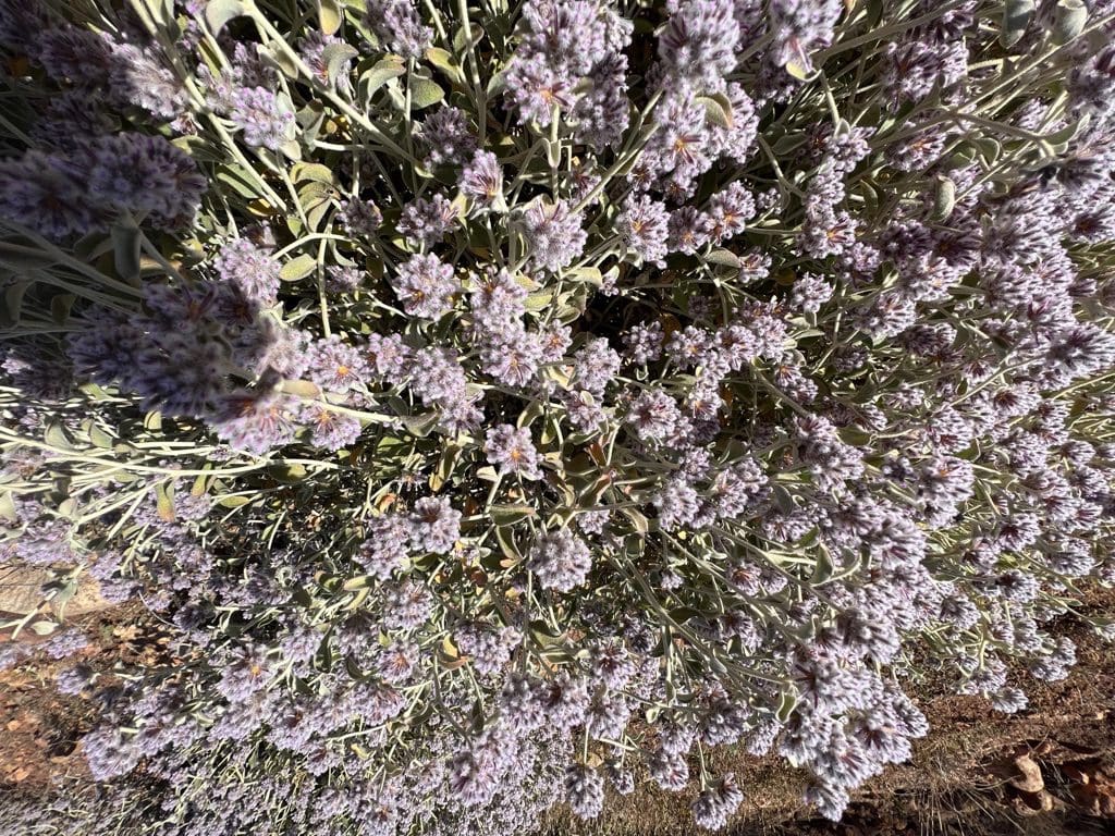
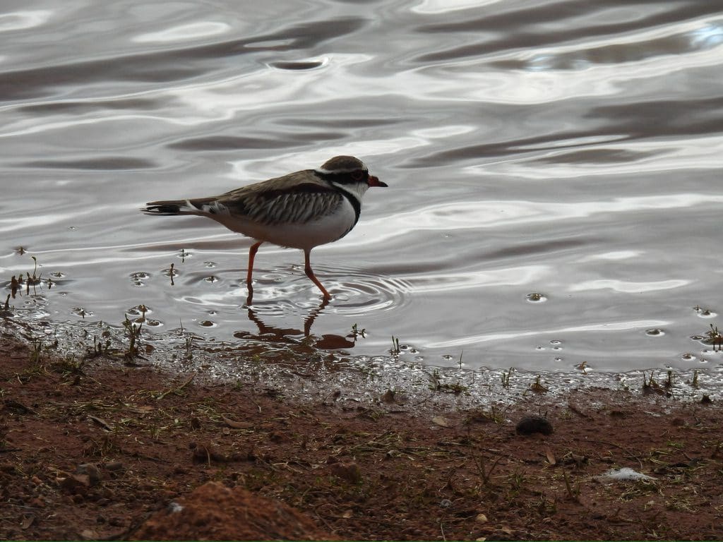
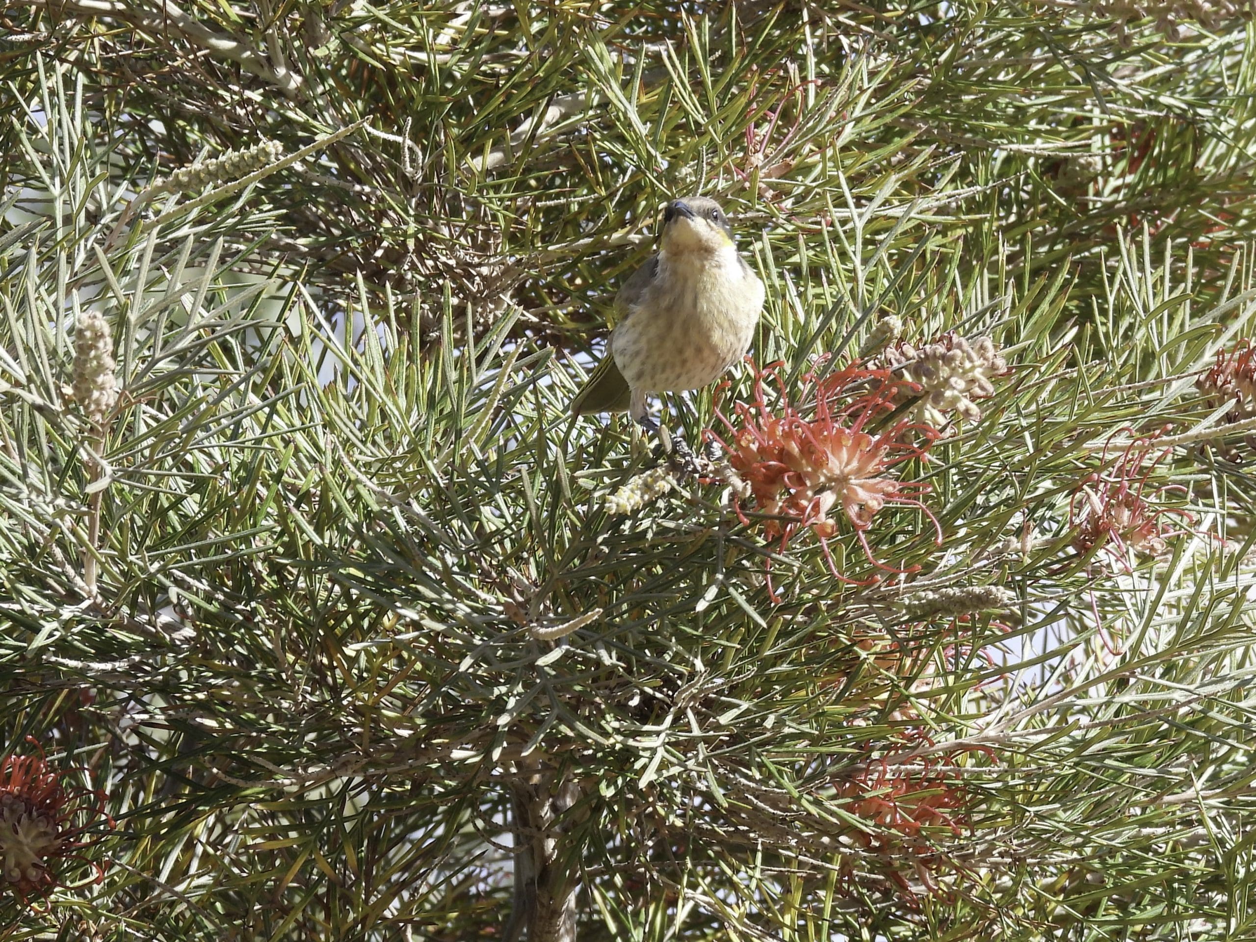
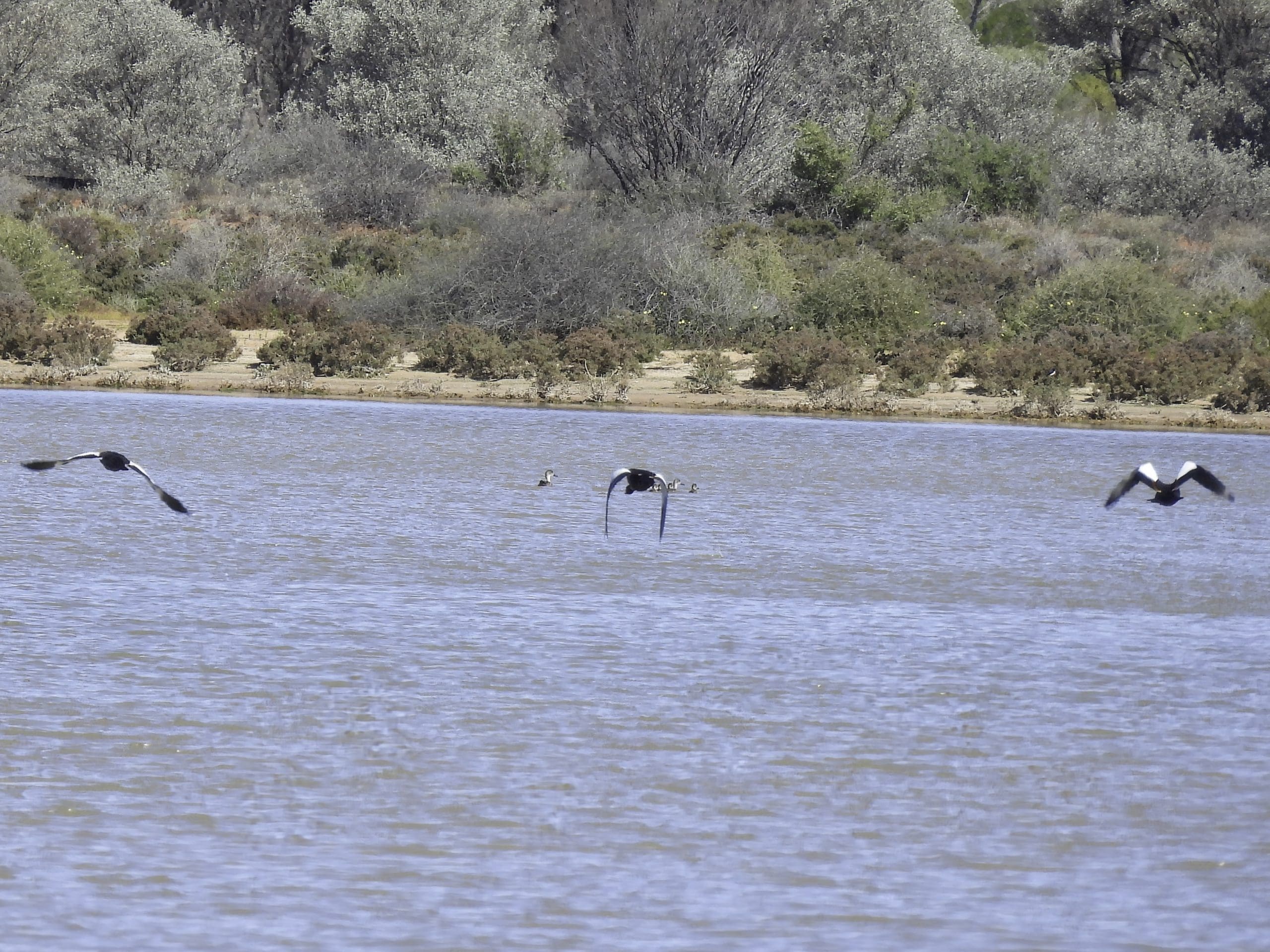
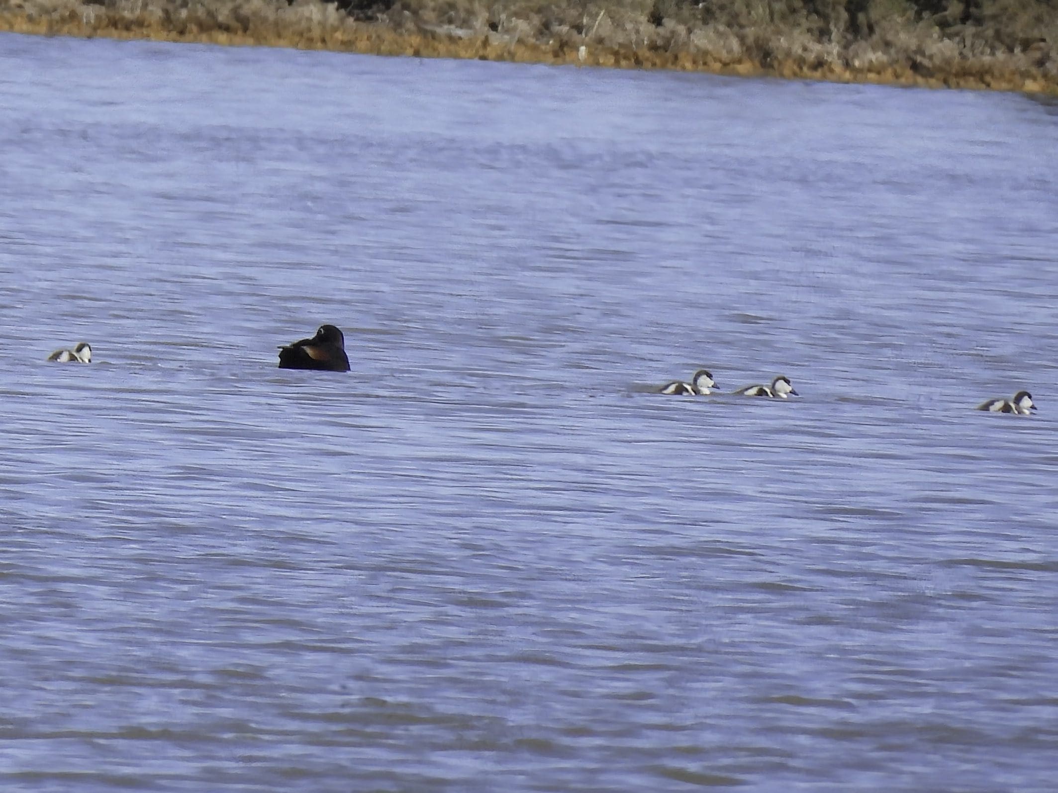
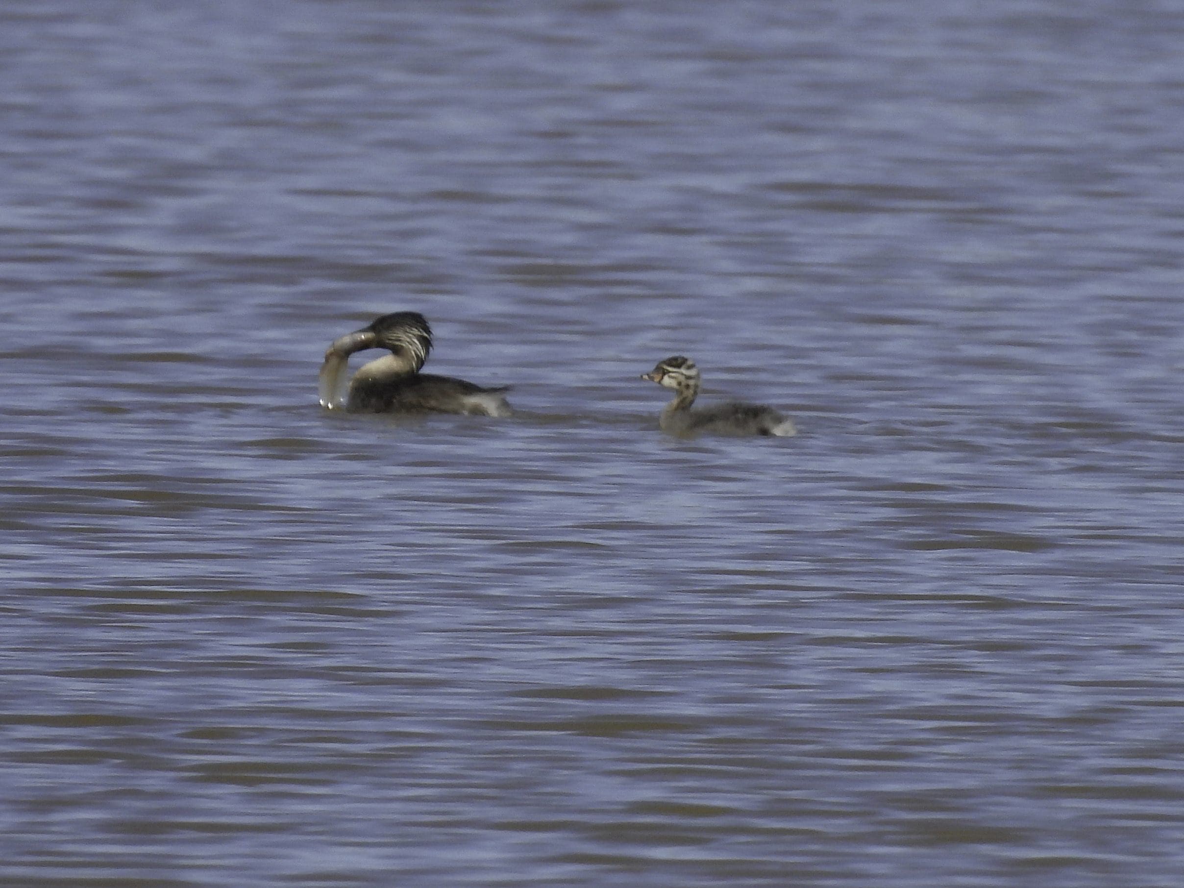
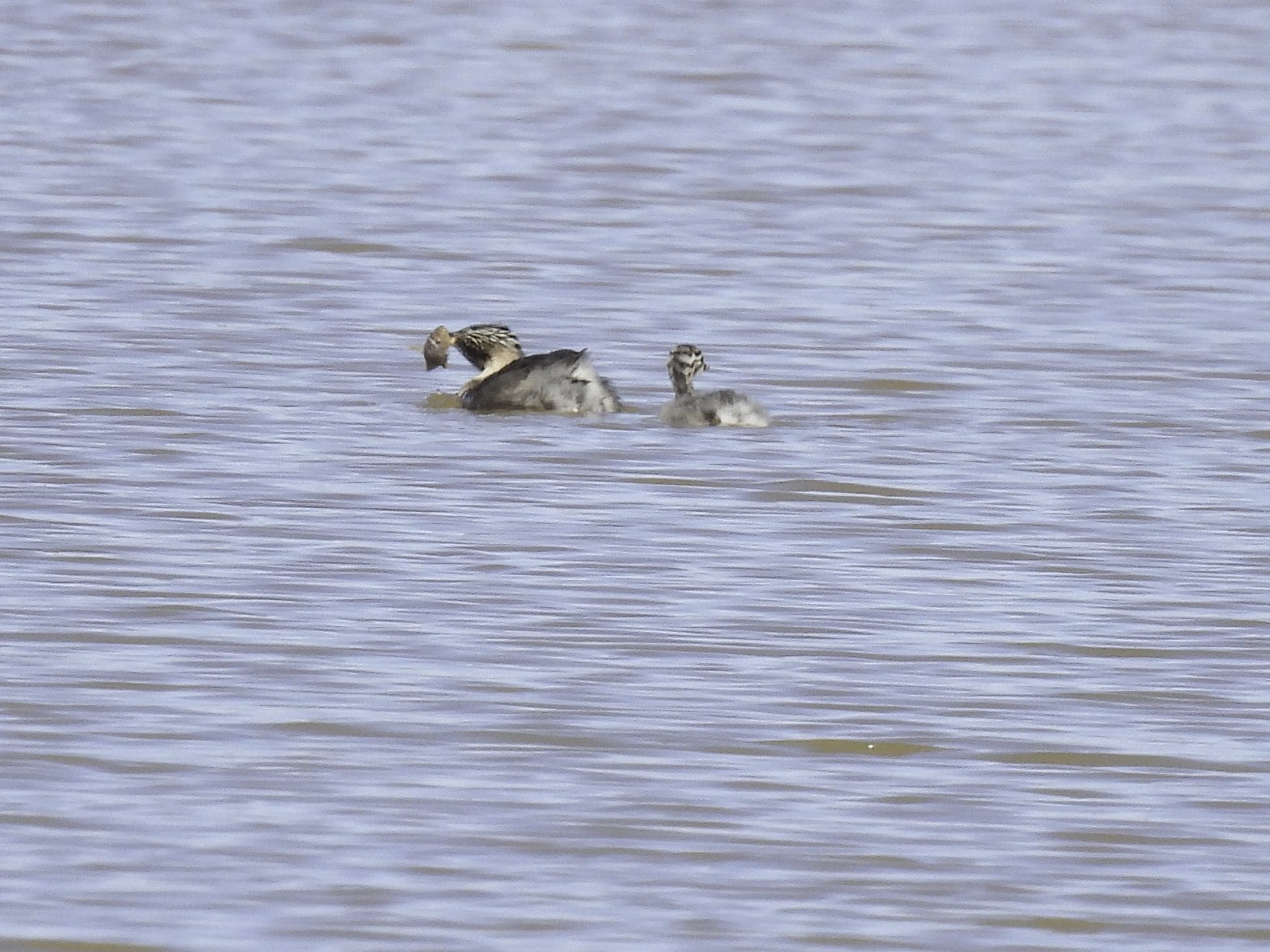
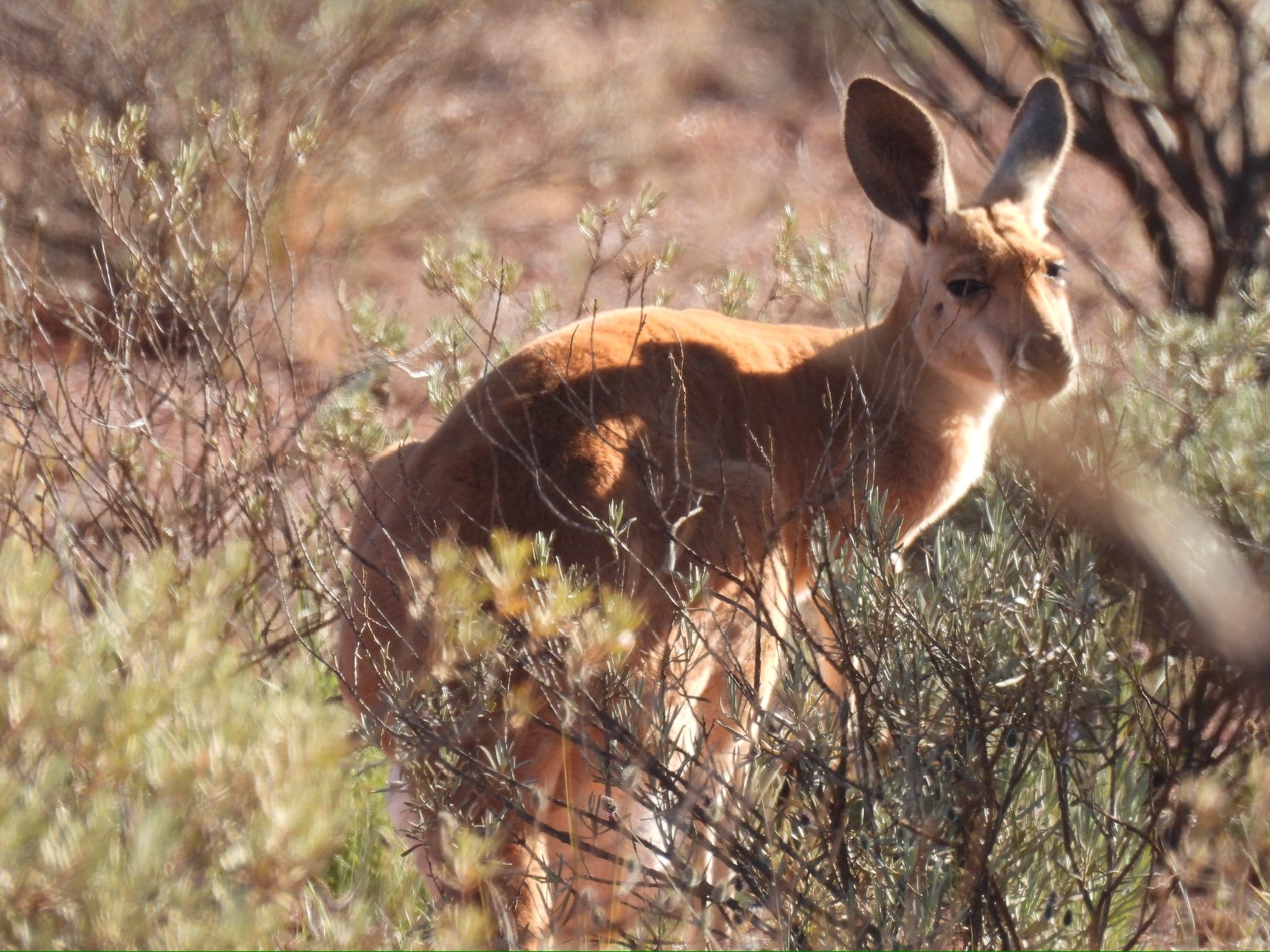
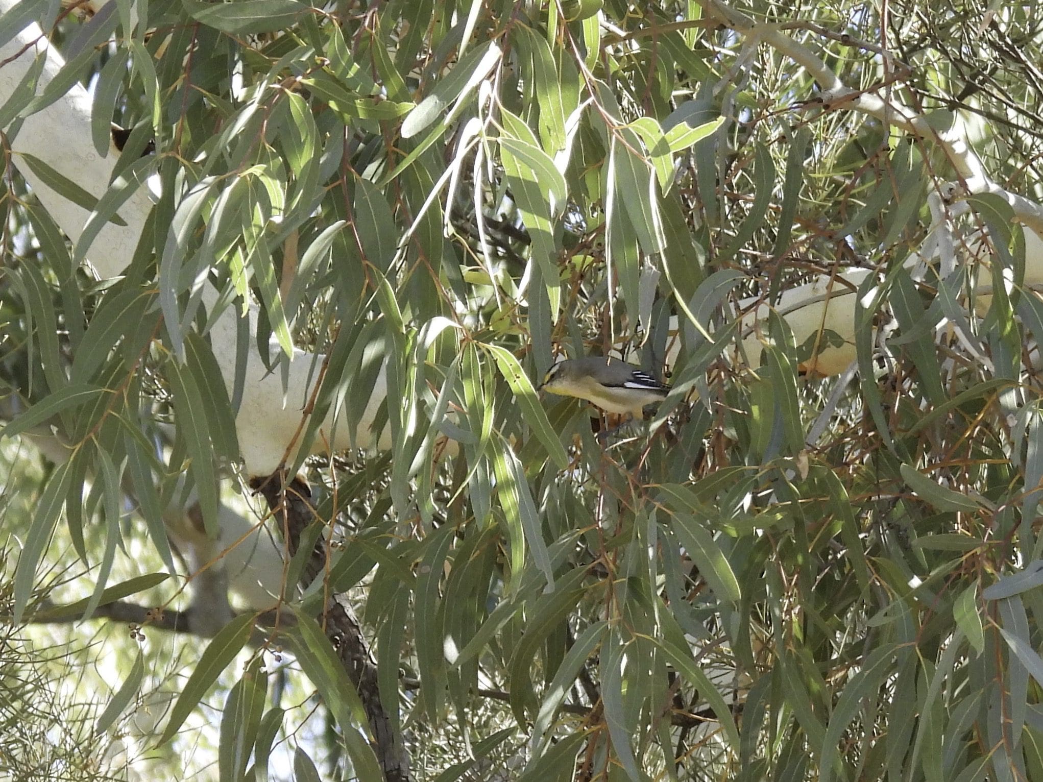
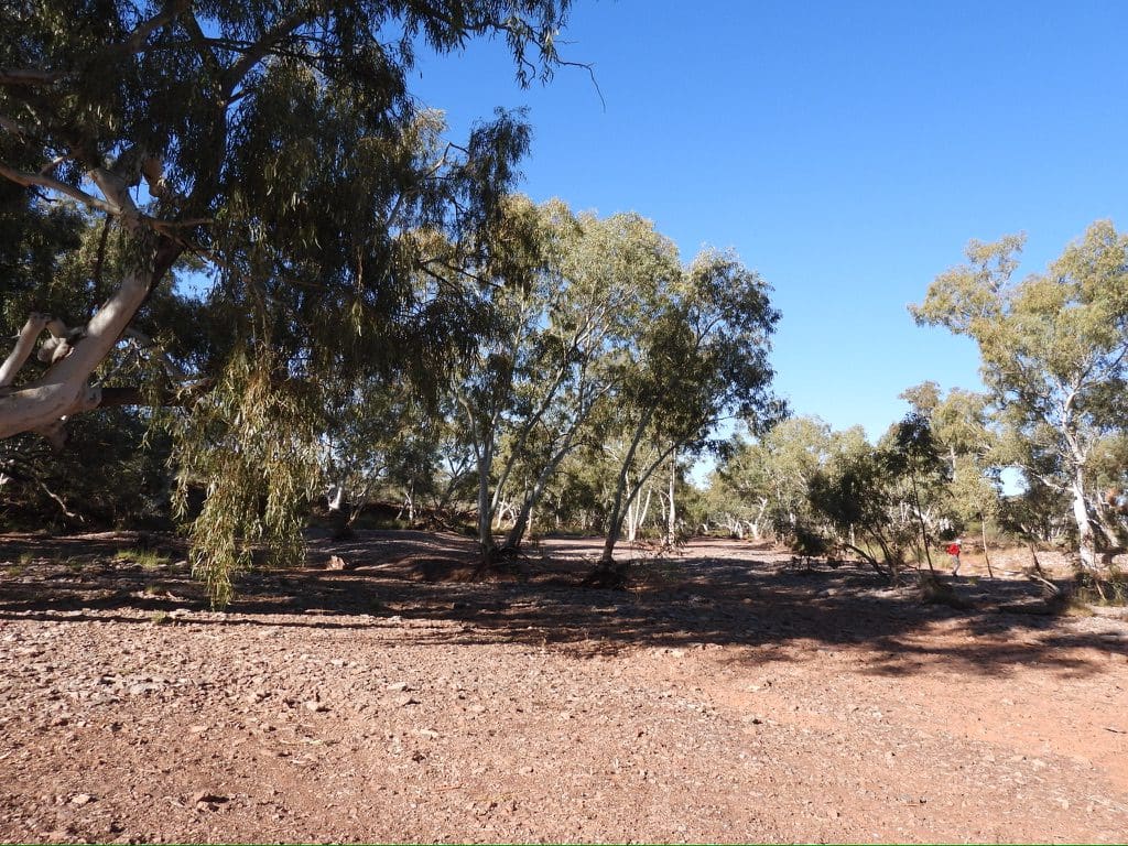
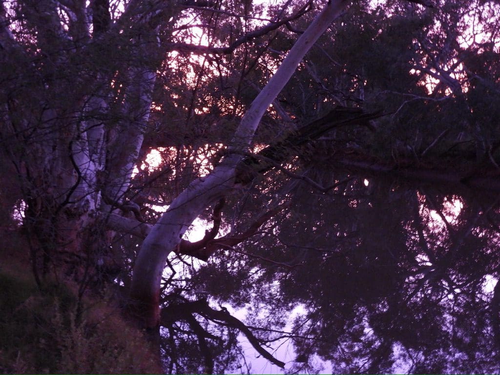
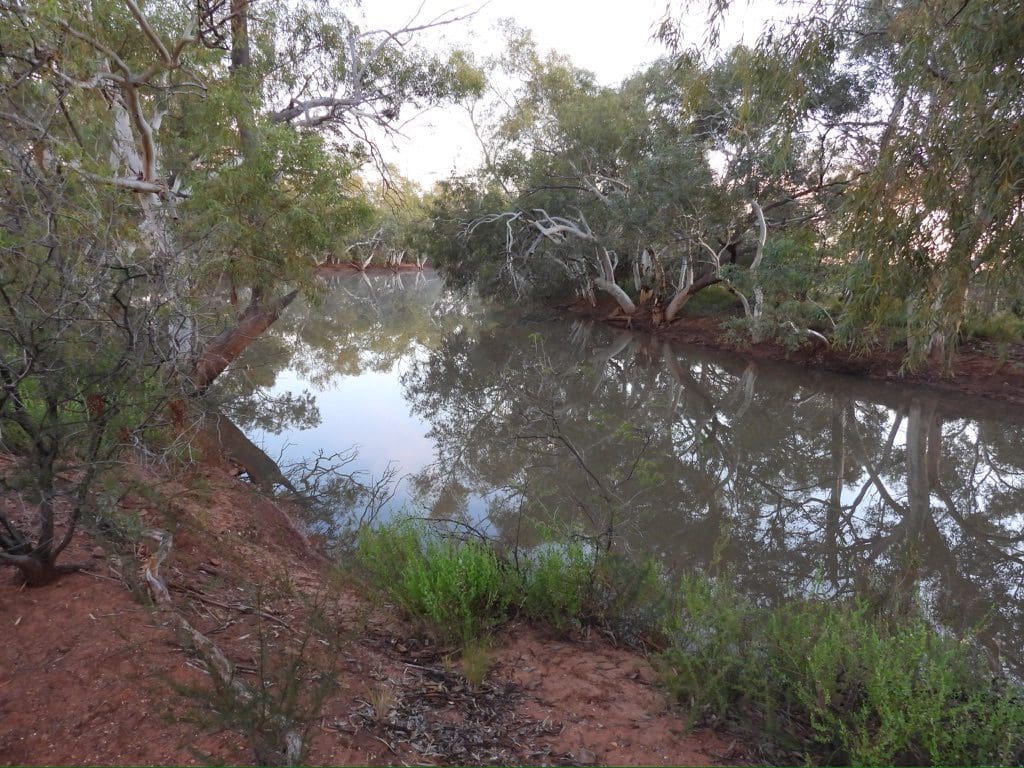
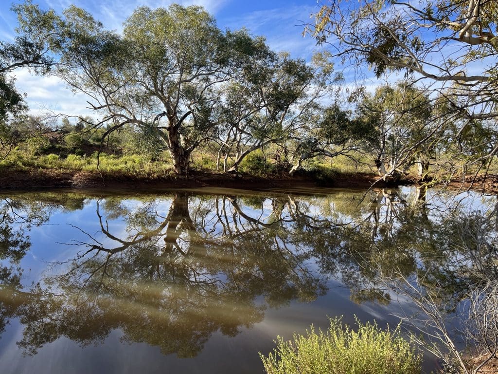
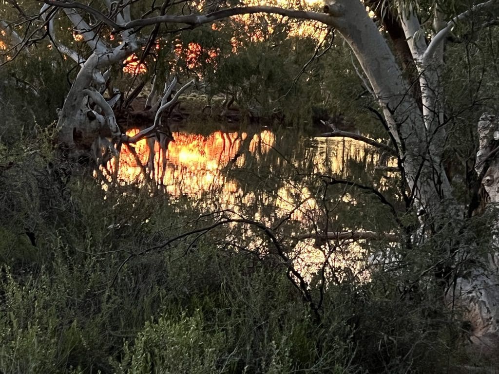
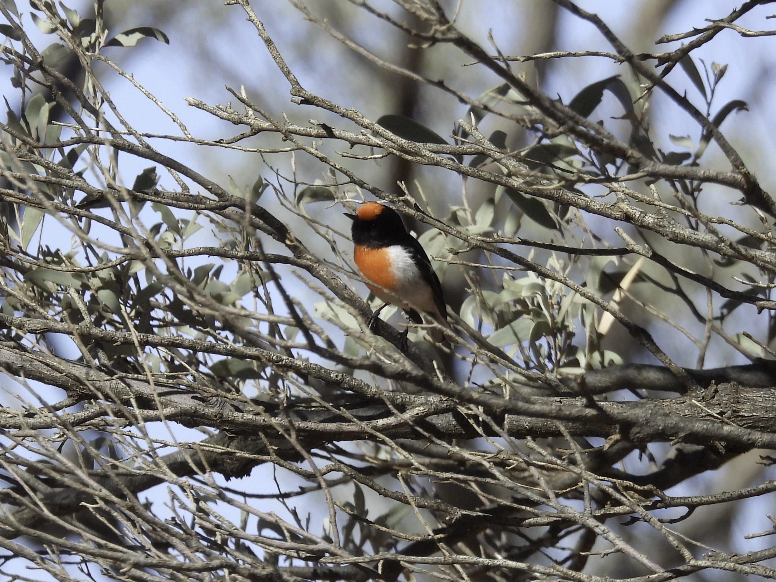
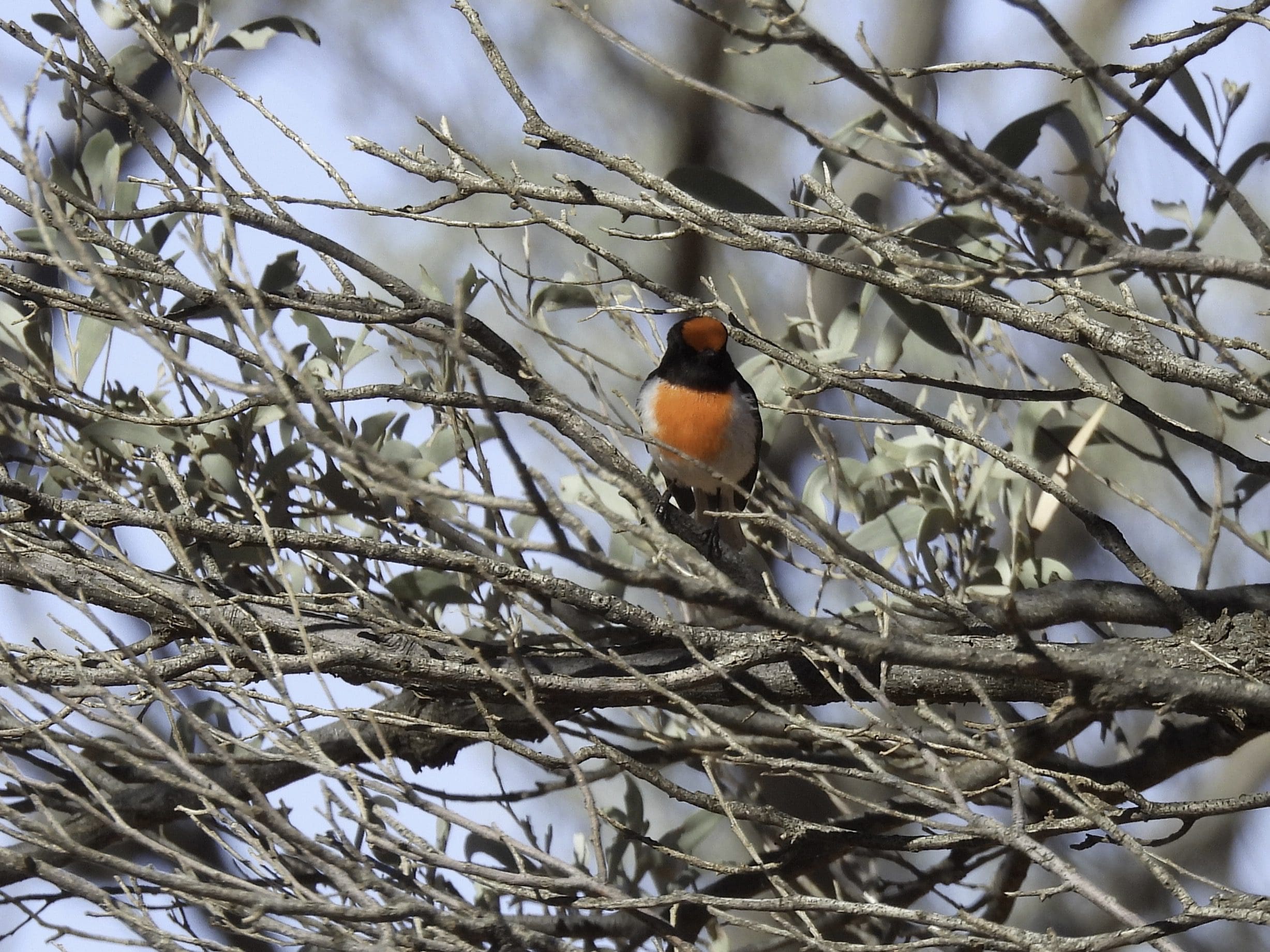
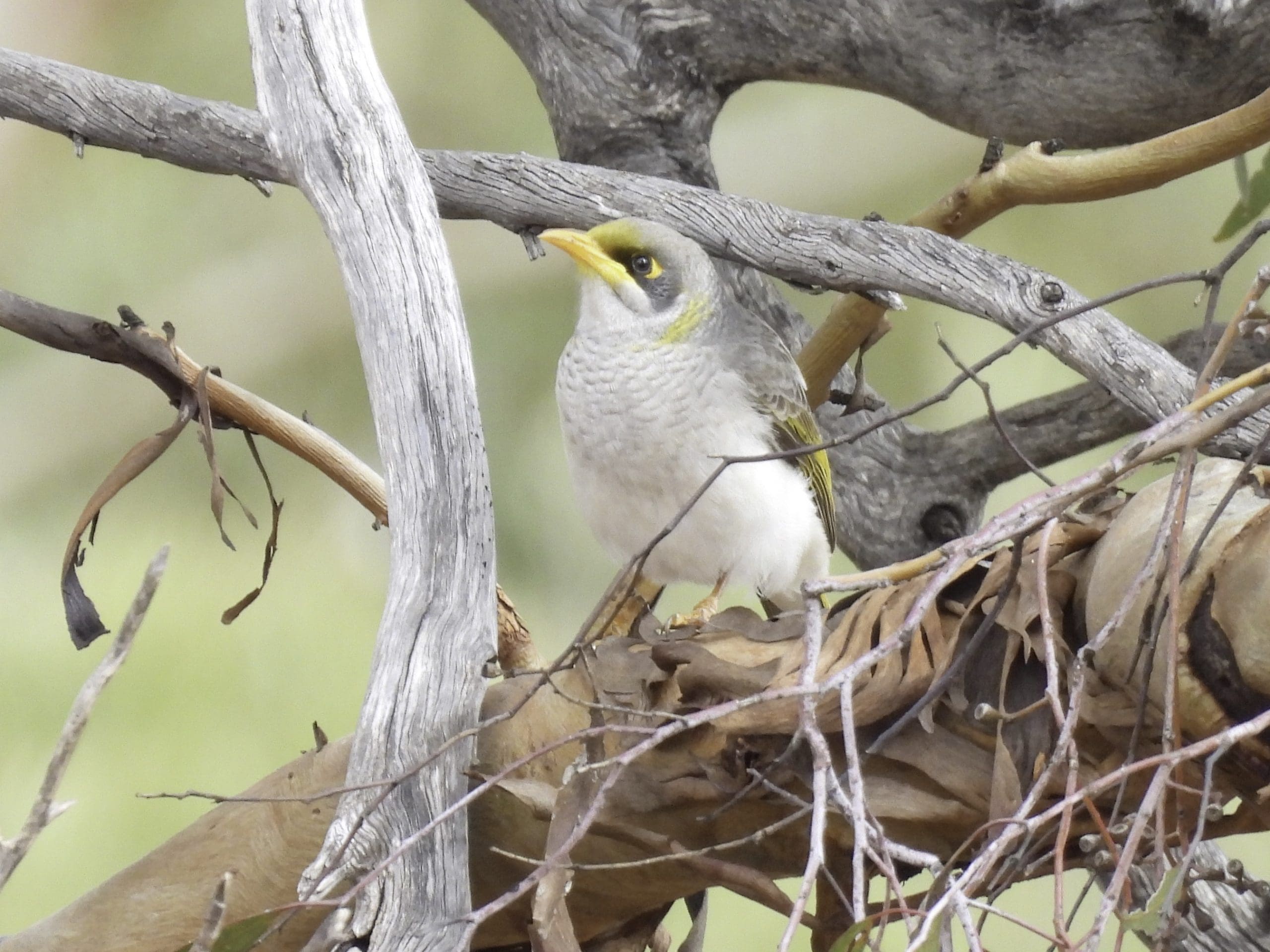
Sunday 18 June. Day 5 Cloudy overnight and a slight sprinkle of rain as we were packing up. Got away at 7:30. No birds. Very dry area. The sand dunes soak up any rain. Desert oak in swales continues and sometimes actually growing on low sand dunes. Quite a few changes in vegetation with different soil types – changes between mallee, mulga, a suite specific to calcrete, another for clay, another for sand over clay, and back to desert oak. For much of the morning we drove south through this country, then at around 11, we swung east to avoid the Walter James Range (a quartzite and schist late Precambrian metamorphic rock). At midday we stopped at Bungabiddy rock hole in the Walter James Range. We are here for the night. We walked in to the water hole and sat and watched for birds coming to drink. (Grey-headed honeyeater, brown’s honeyeater, white-plumed honeyeater. Also a black-footed rock wallaby.) Cloud again which should keep us warm.
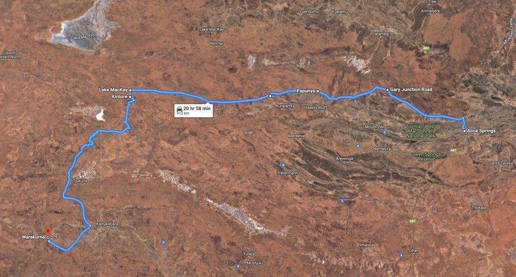
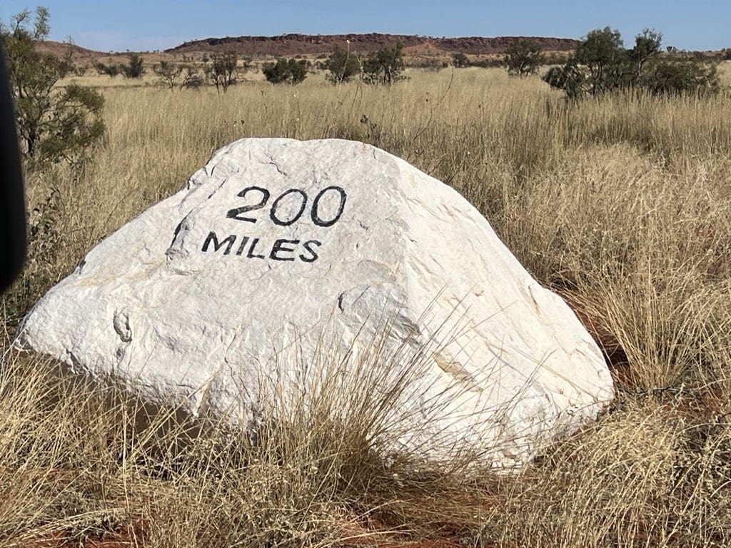
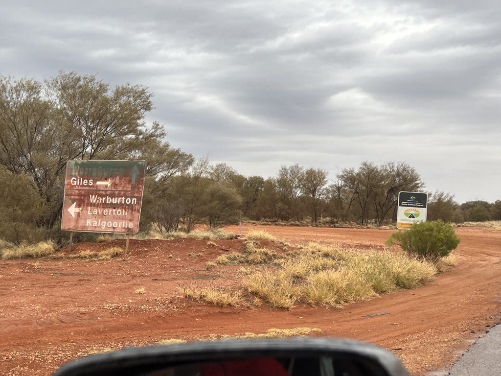
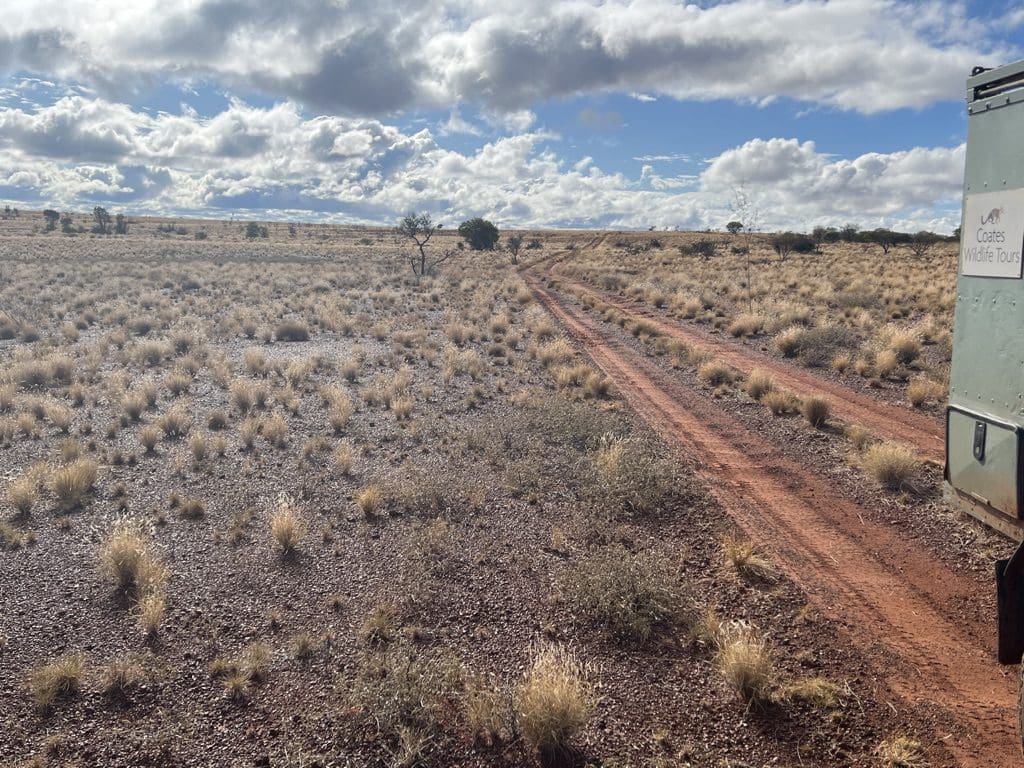
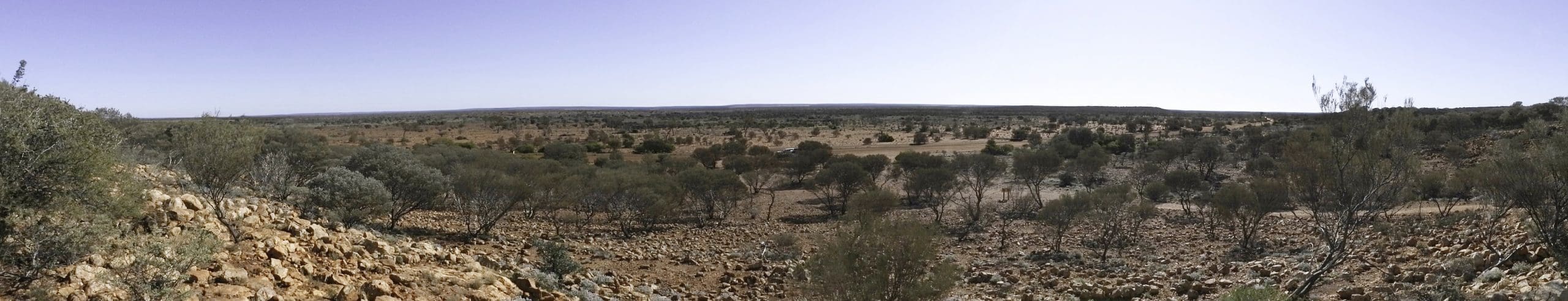
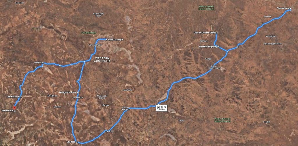
Alice Springs to Warakuna 900km
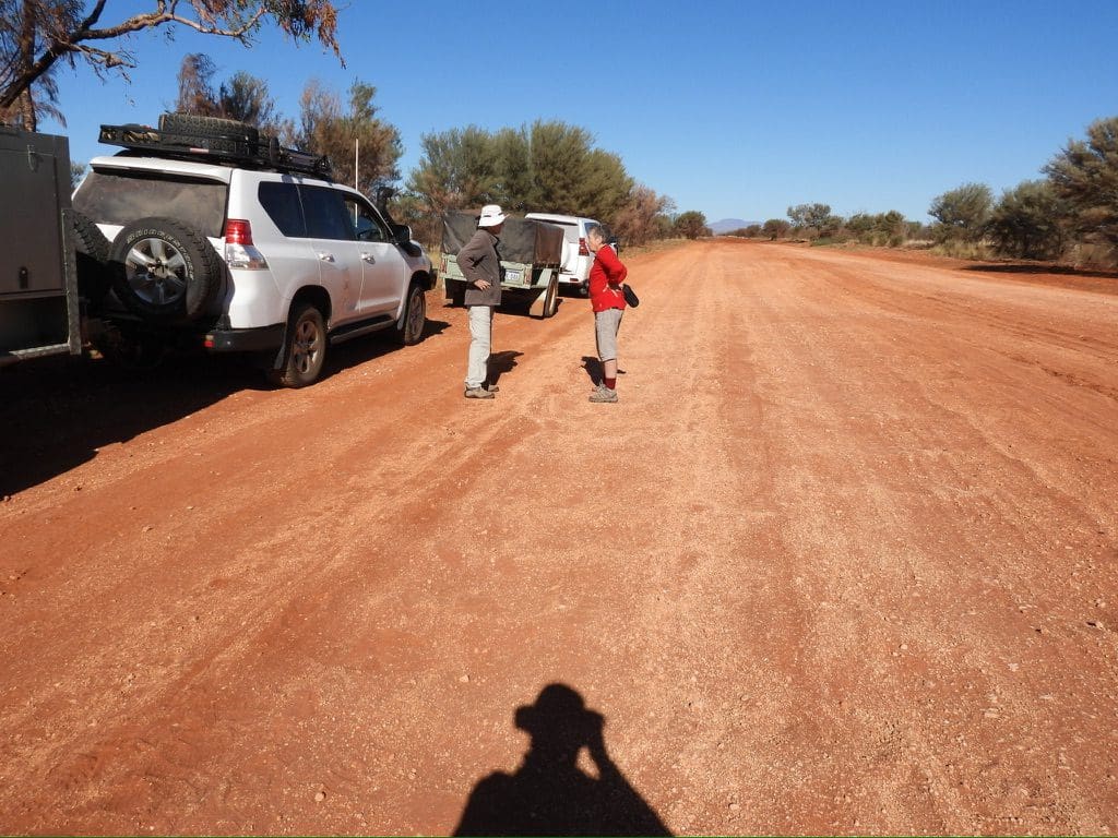
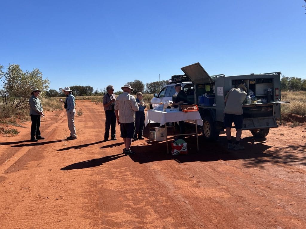
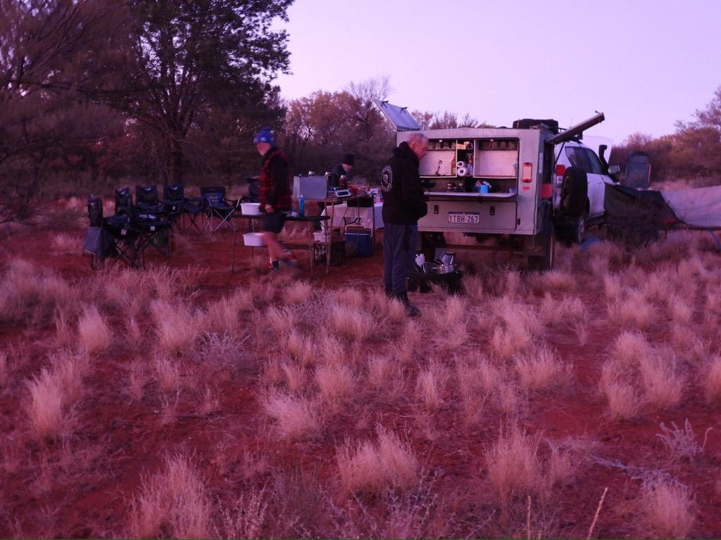
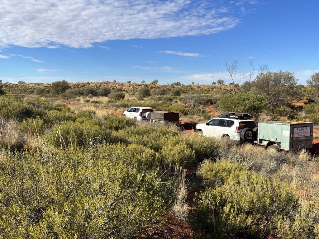
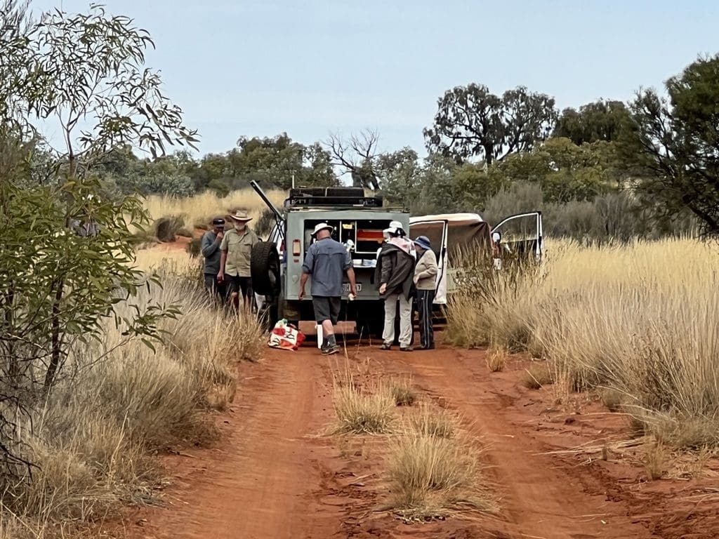
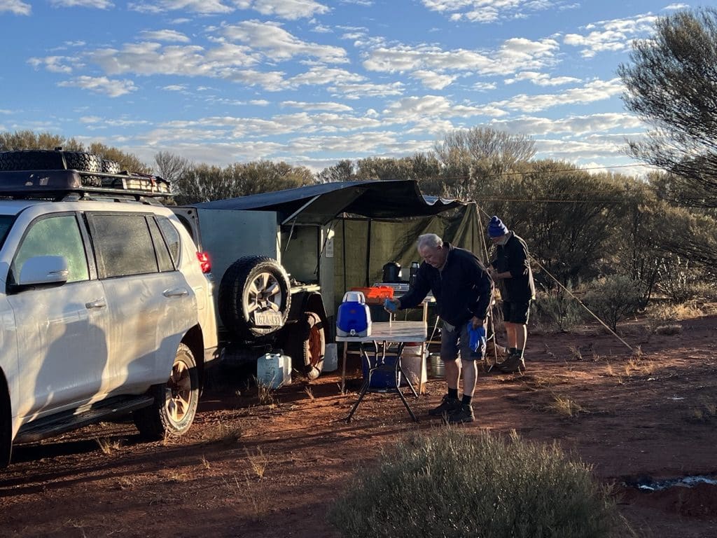
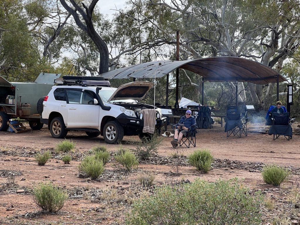
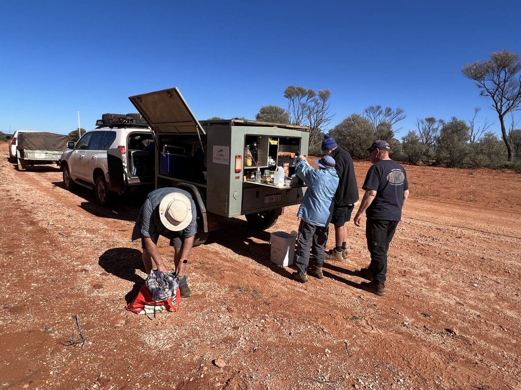
There’s no doubt that this trip is much more strenuous and rugged than any of the other trips we’ve done. The distance, constant sand, cold, constant travel – packing and unpacking each day. Constant work for us and even more for the drivers/cook. A tough gig. Our group is: Rosemary, Steve, Anne, Gill, Helen and I – plus Red leader and cook, Neil naturalist.

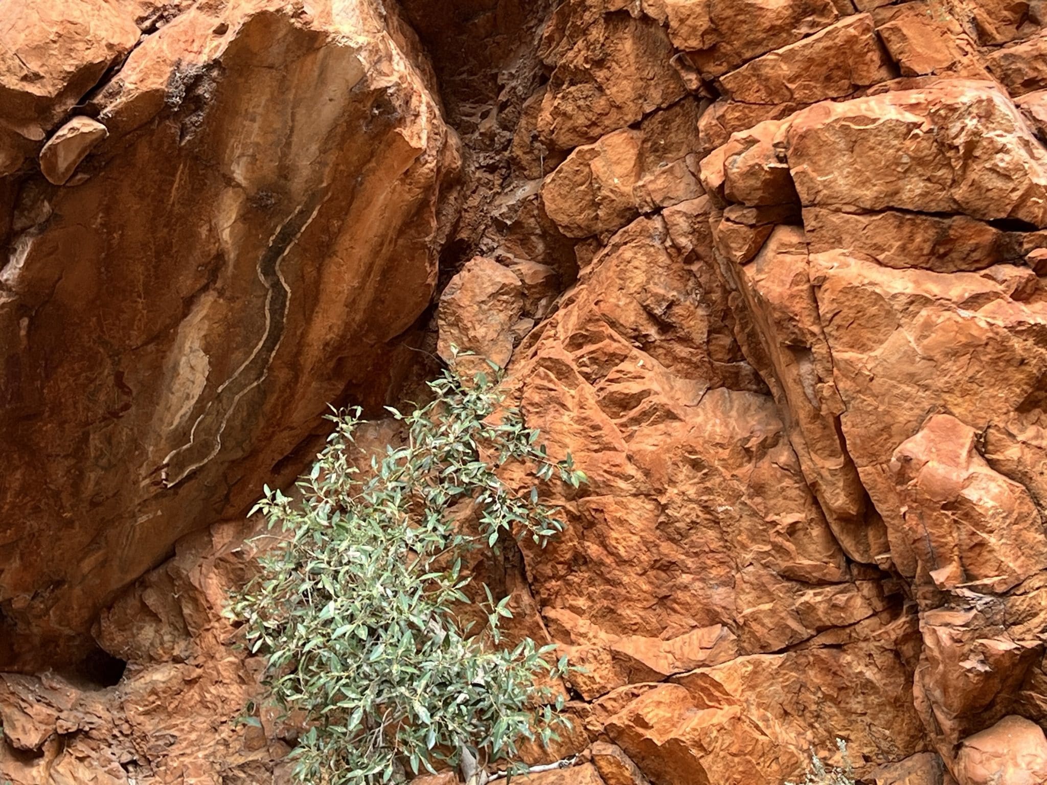
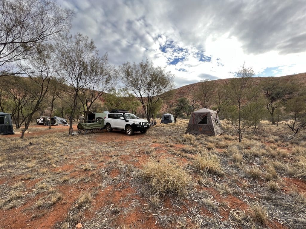
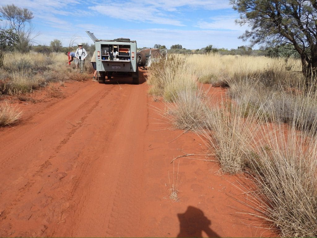
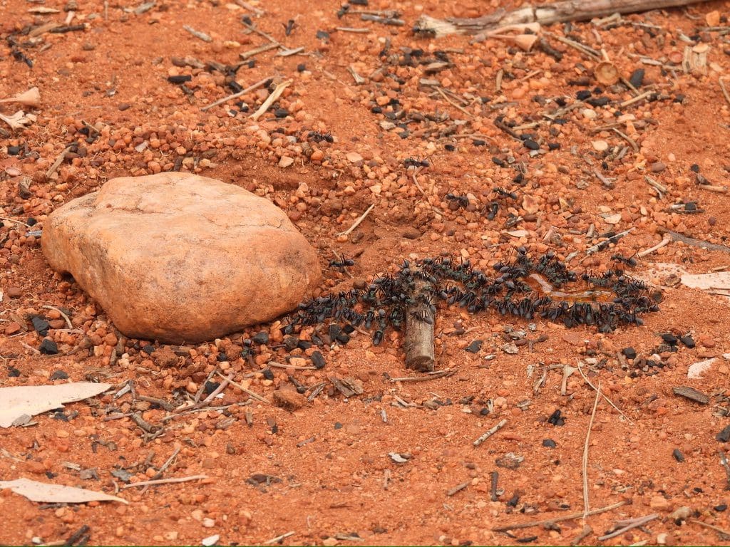
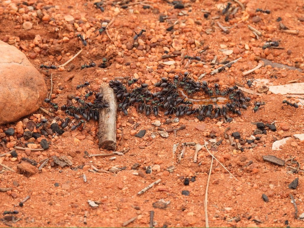
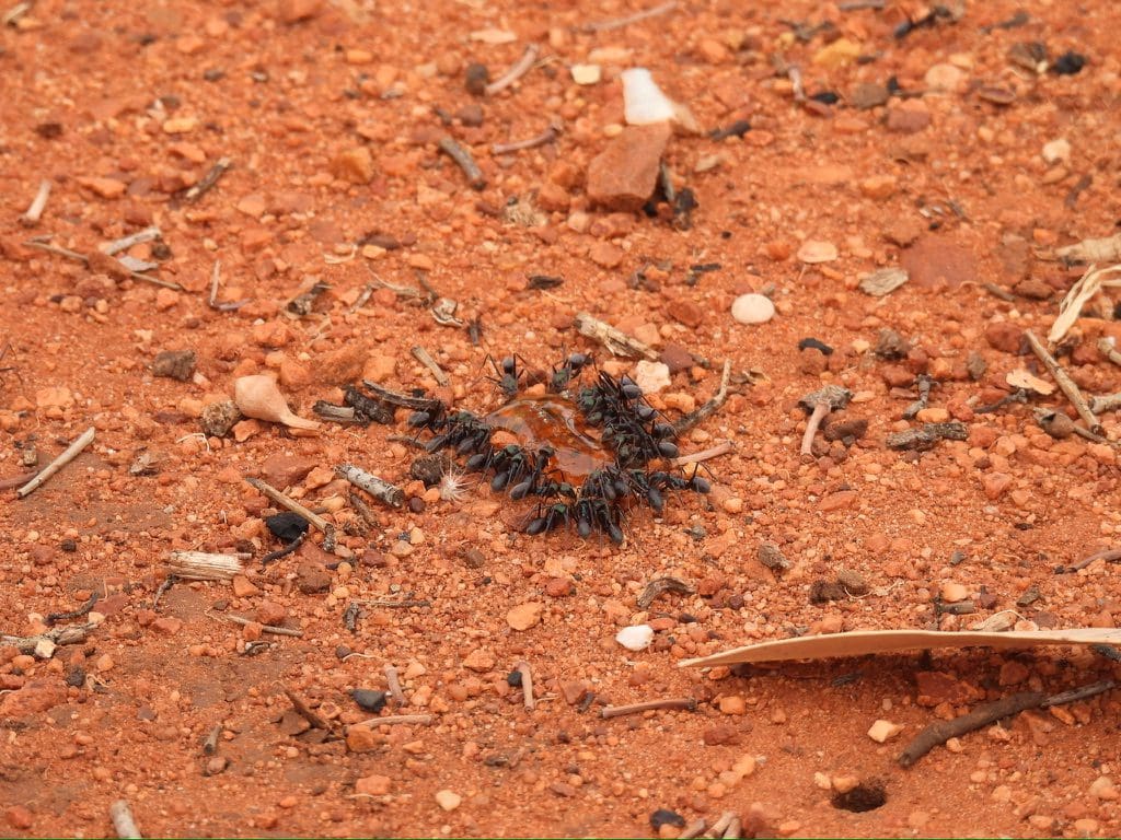
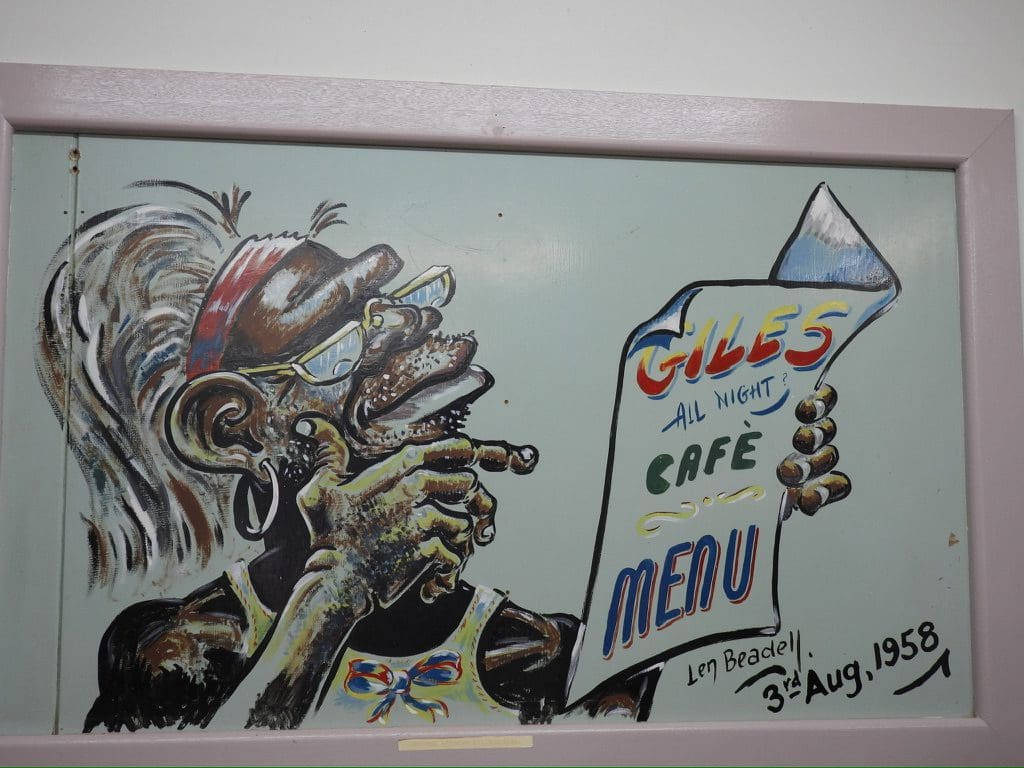
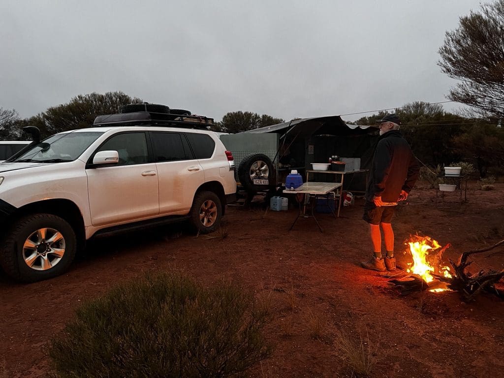
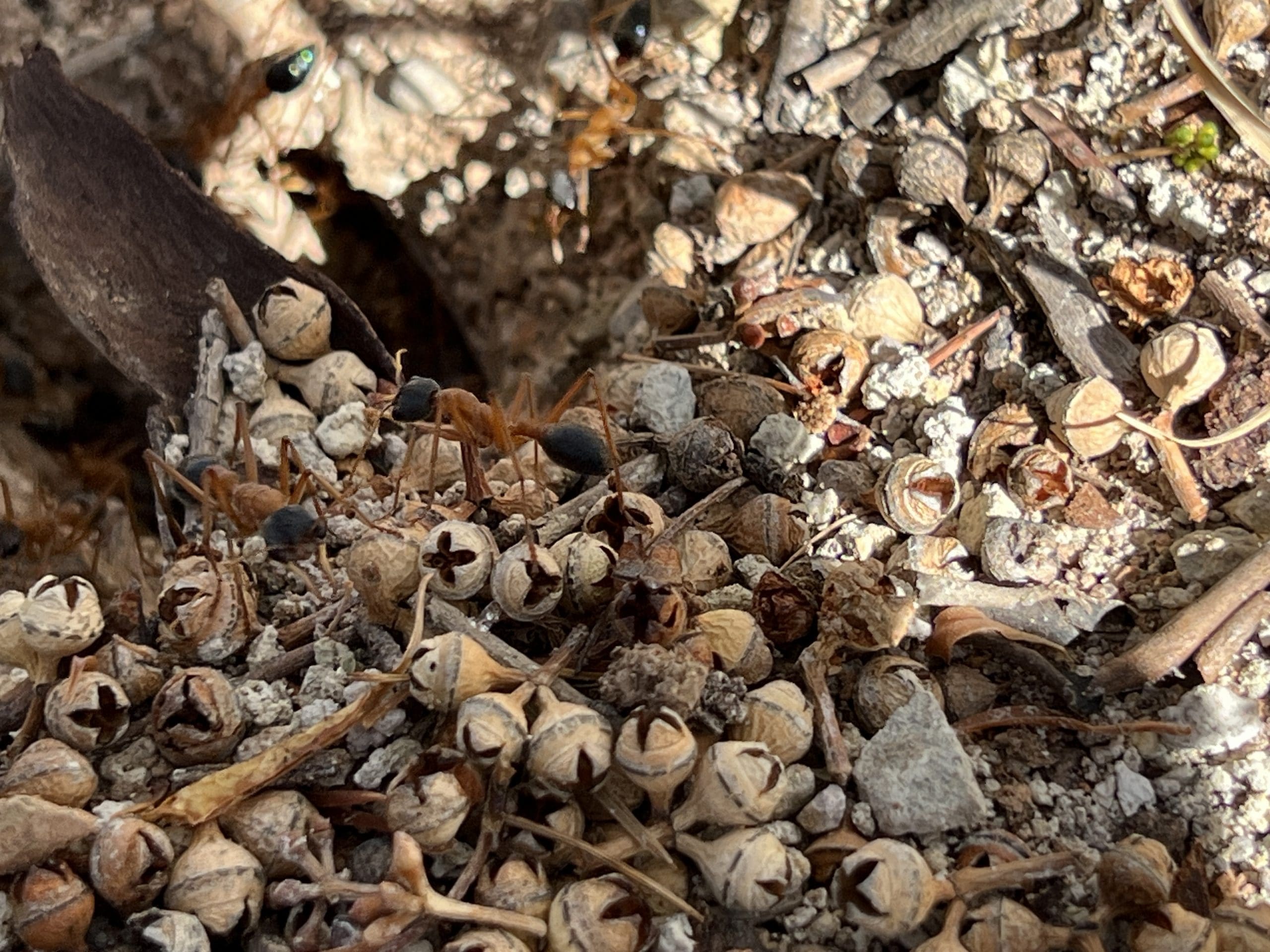
Monday 19 June. Day 6. A very leisurely start. A cooked breakfast at 8 and then the rest of the group headed back up to the gorge. Helen and I stayed in camp and ended up watching ants around a couple of dobs of honey – lined up like they were drinking at a trough. Extremely well ordered, no squabbling. How are they consuming it? How is it stored? Will it disrupt the nest? What will it do to the nest? How does each ant pass on food to another ant and in what form? Initially, the only question I had was whether they would recognise it as food. Quite a few birds calling around the camp. Left camp at 10:30. Continued south on Sandy Blight, picking up the Central Highway just north of Anne Range. Mulga Parrots. Lunch at a dry river in a stand of stressed Desert Oaks. Arrived at Warakurna (Giles Meteorological Station) just before 4. Much confusion over time zones. Warakurna uses Adelaide time but for the last couple of days my watch and phone had switched to Perth time. Slight sprinkle of rain while getting camp set up. The Roadhouse at which we are camping neglected to tell us that there is a hidden switch to turn on the hot water. Not happy campers. The first few days, we were carried along by the adrenaline of excitement. By now that has worn off and we are into the slog of daily repetitive hard work.
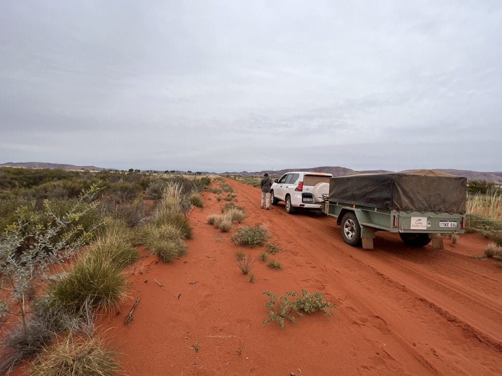
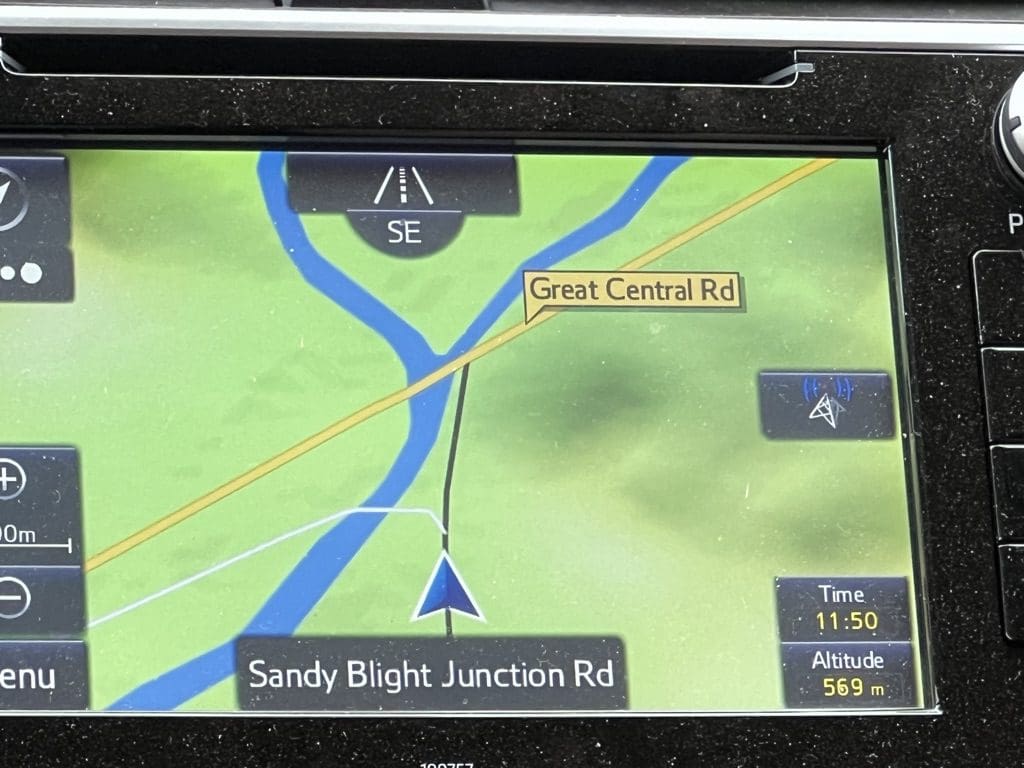
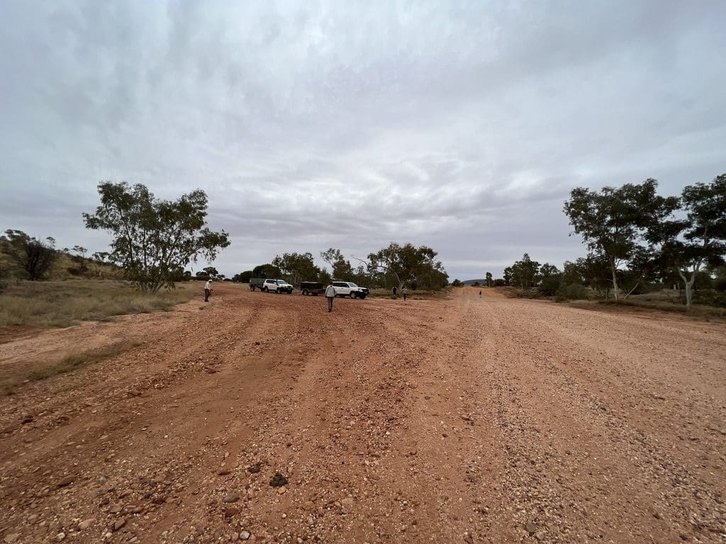
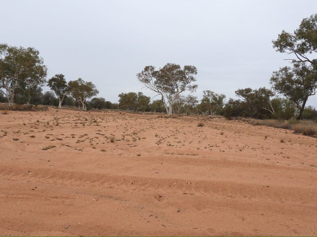
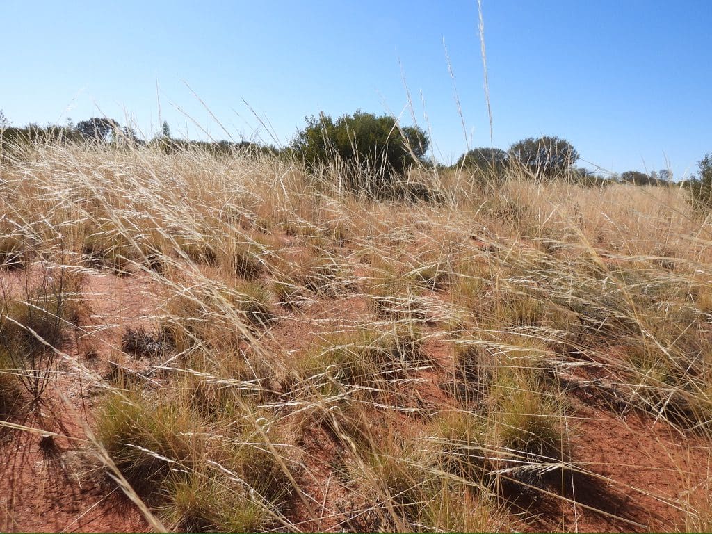
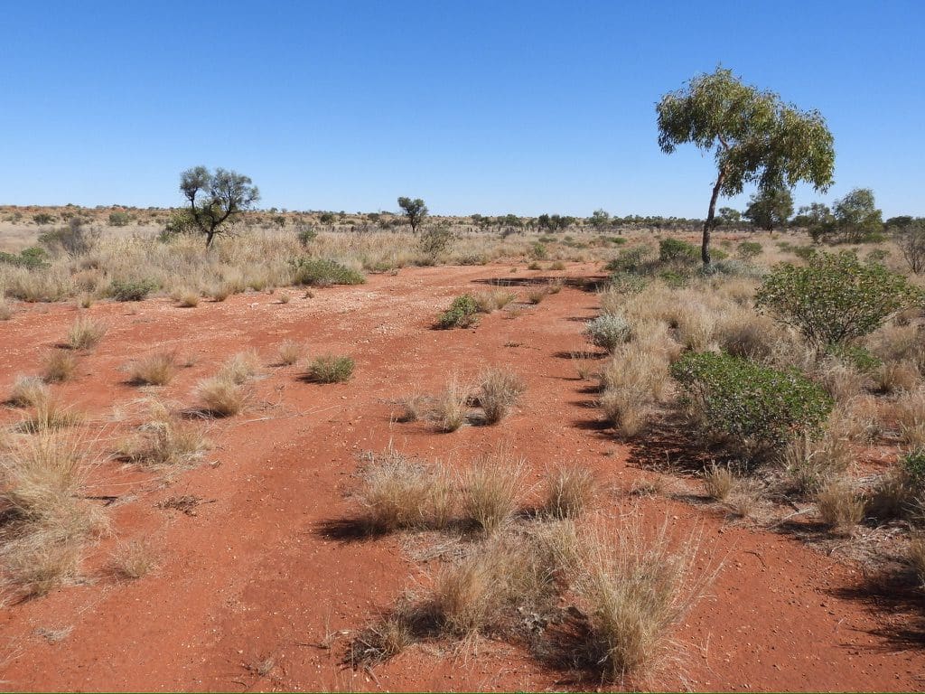
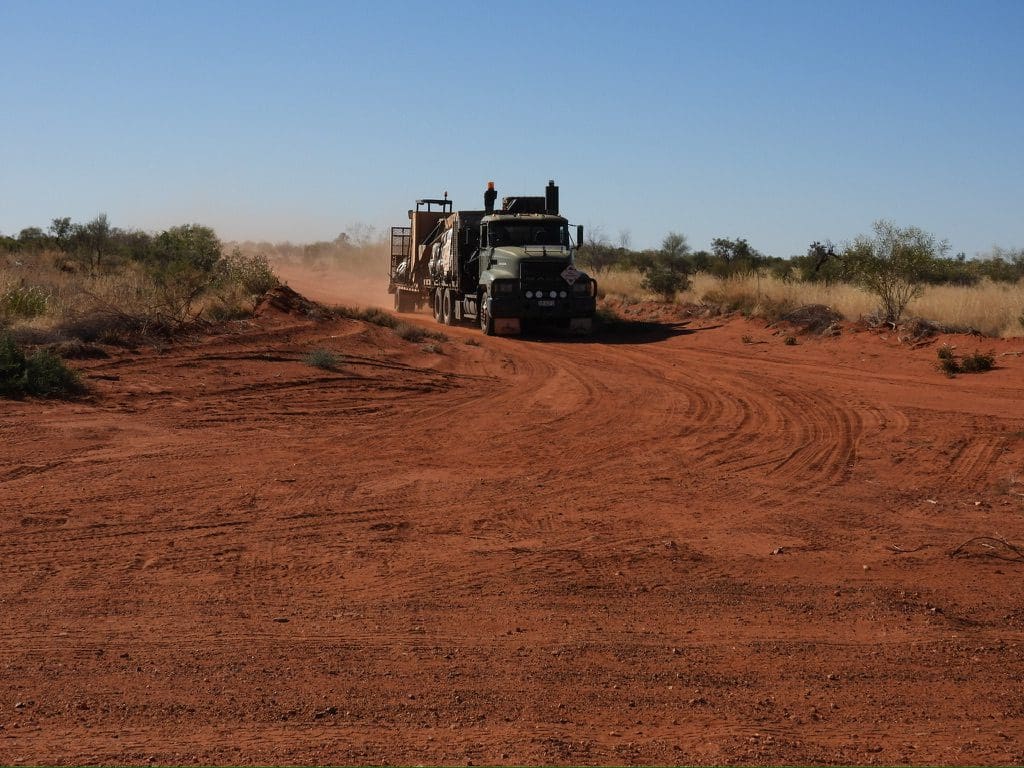
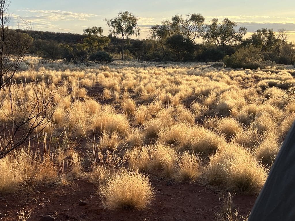
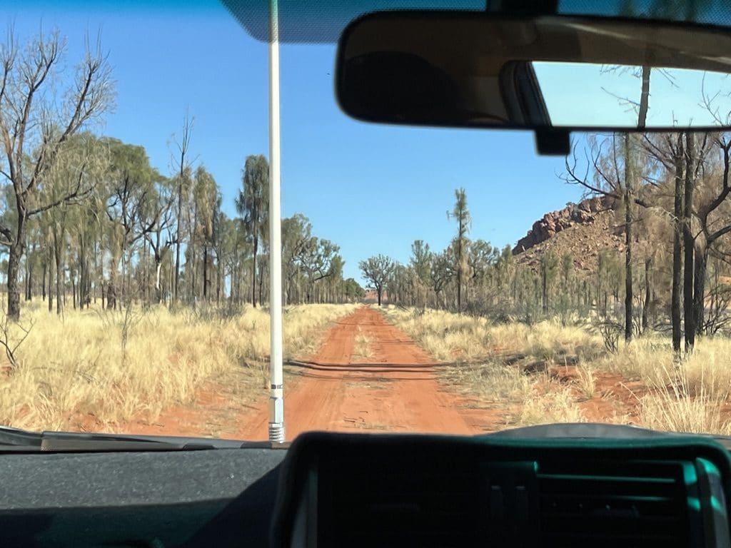
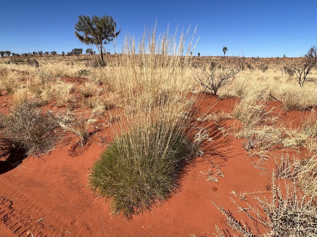
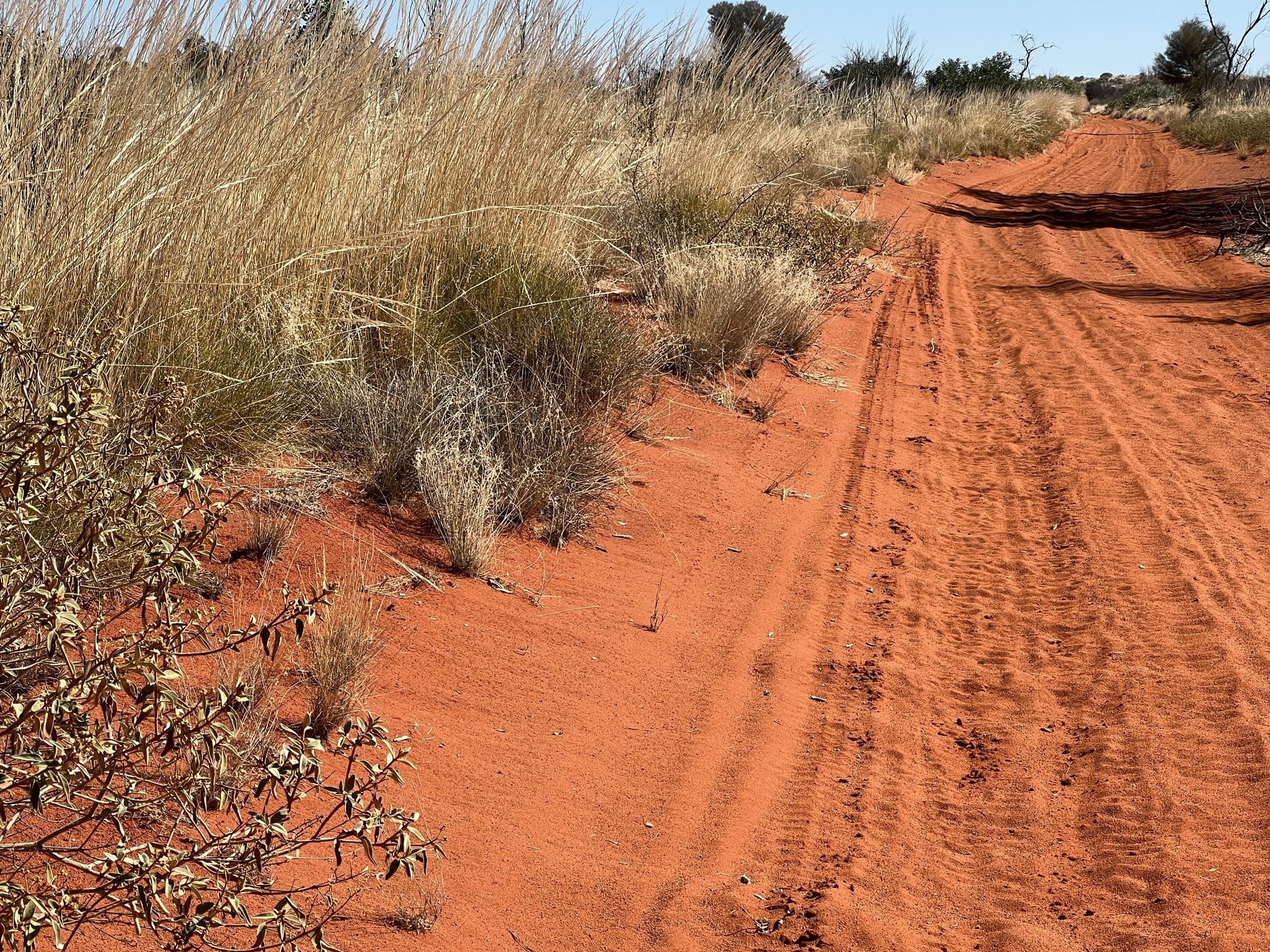
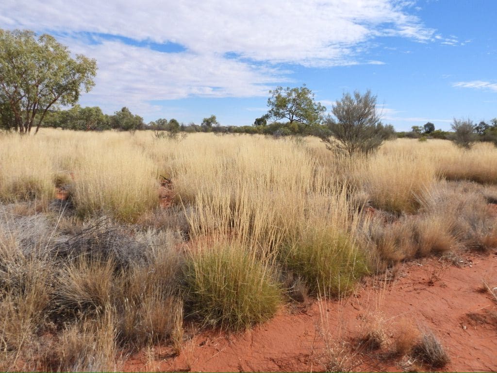
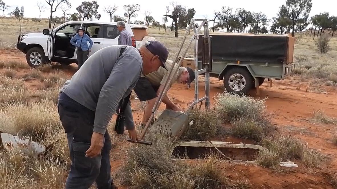
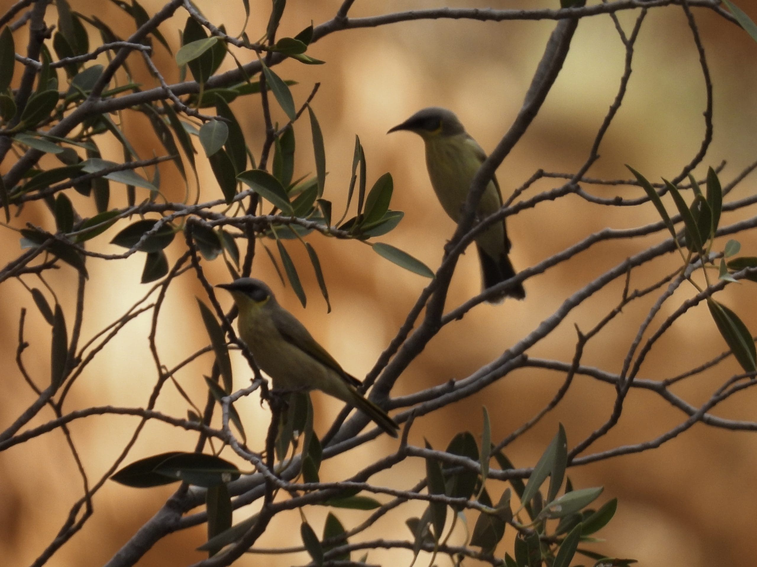
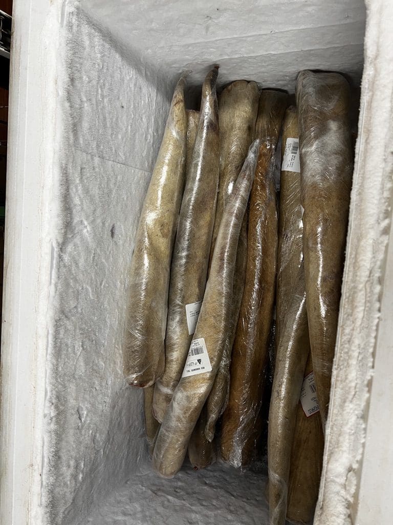
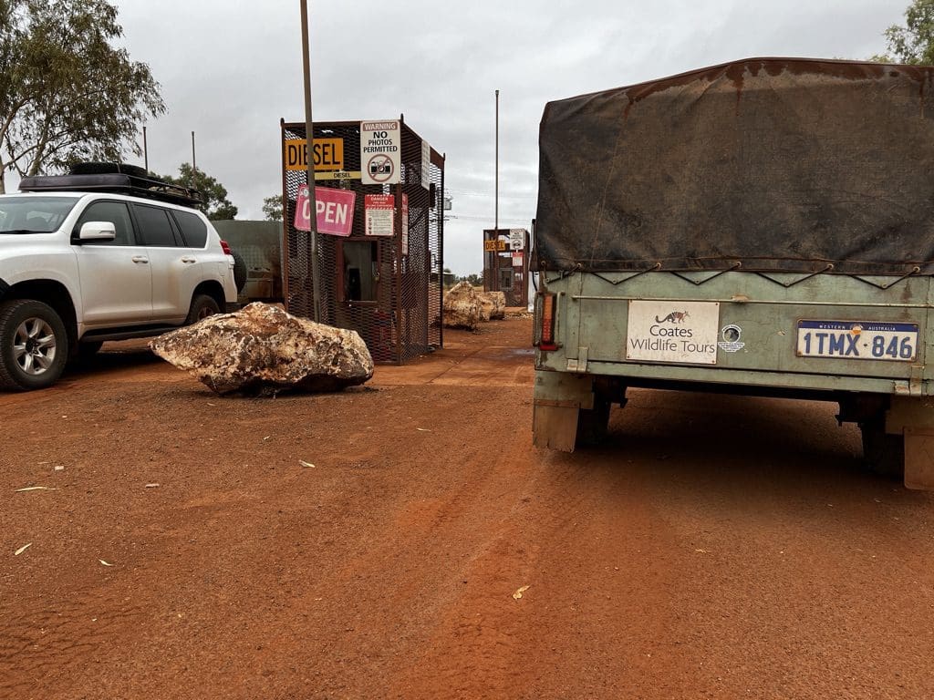
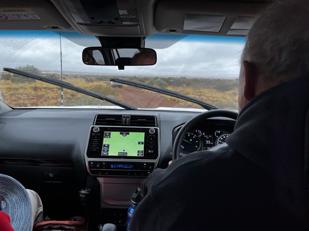
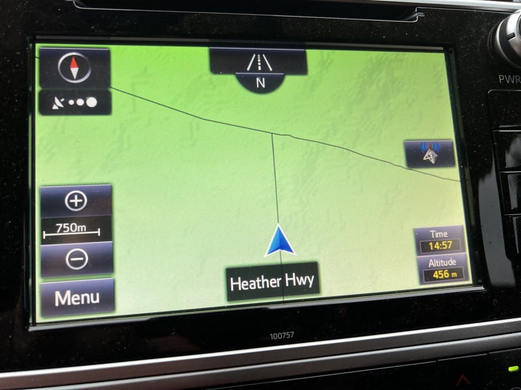
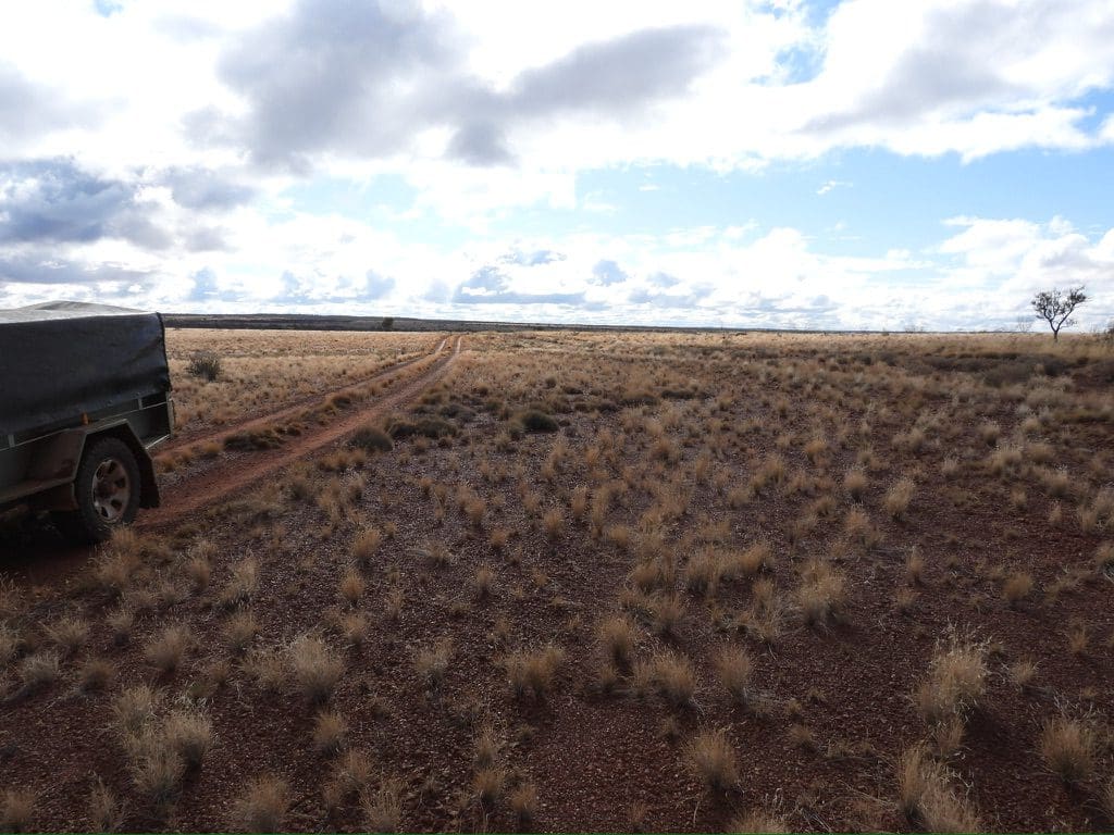
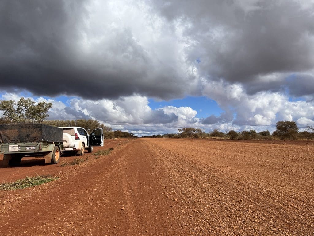
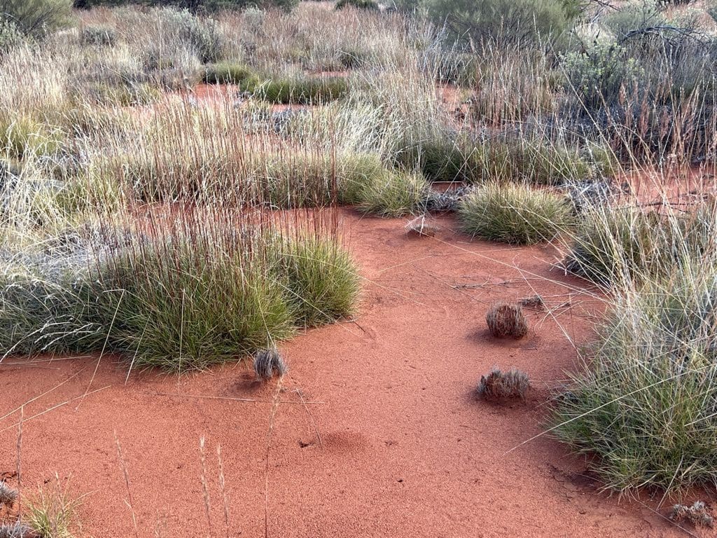
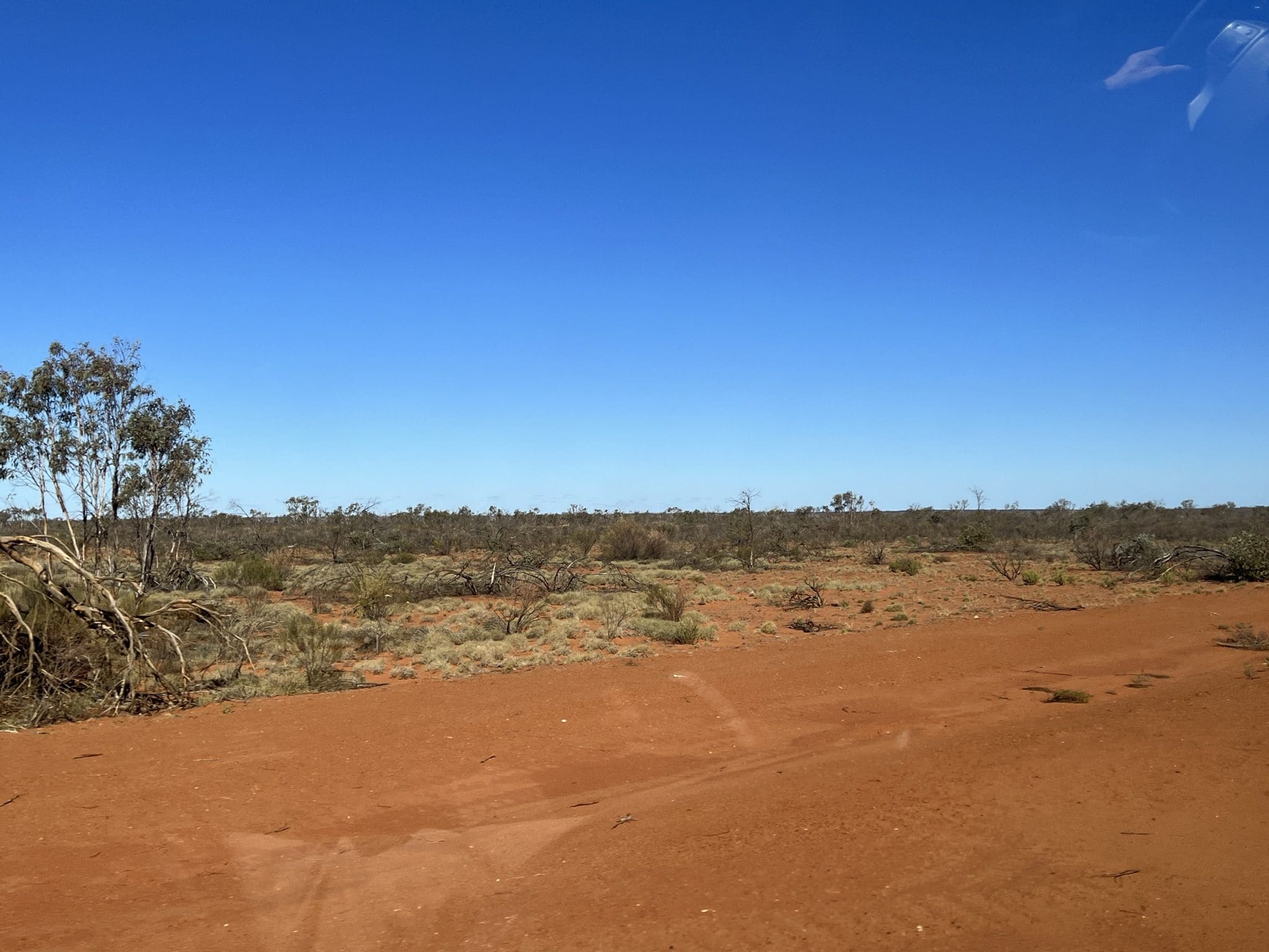
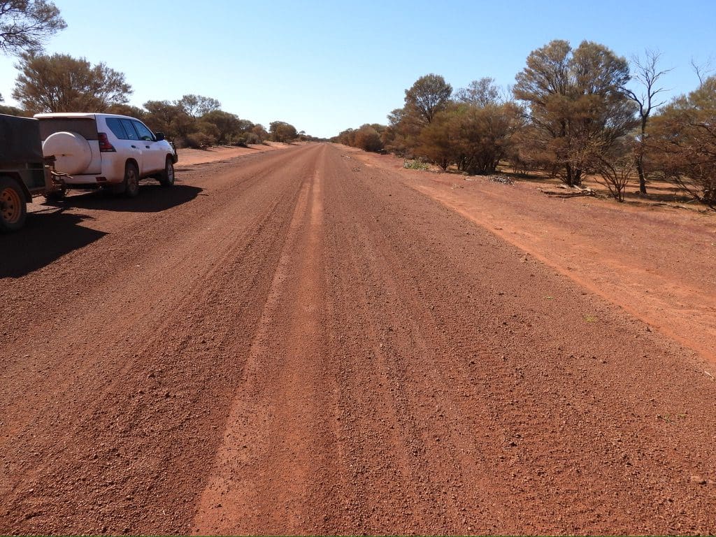
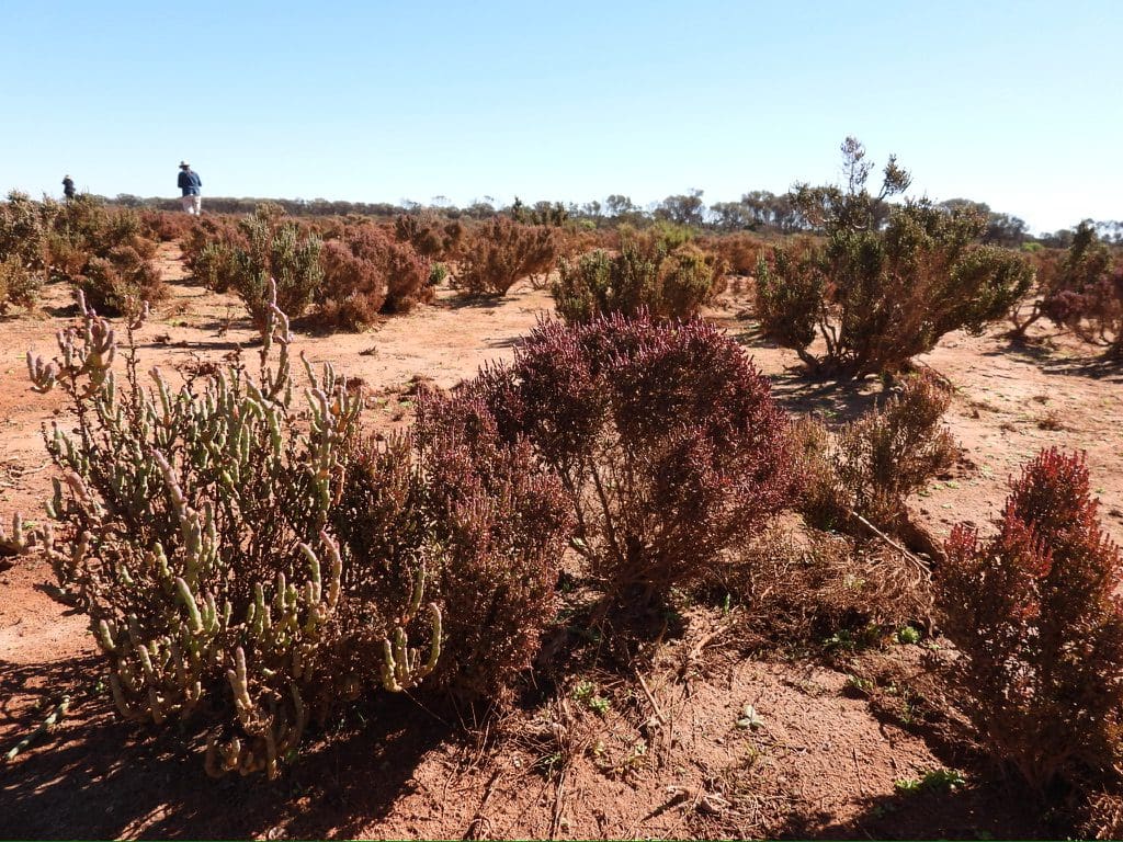
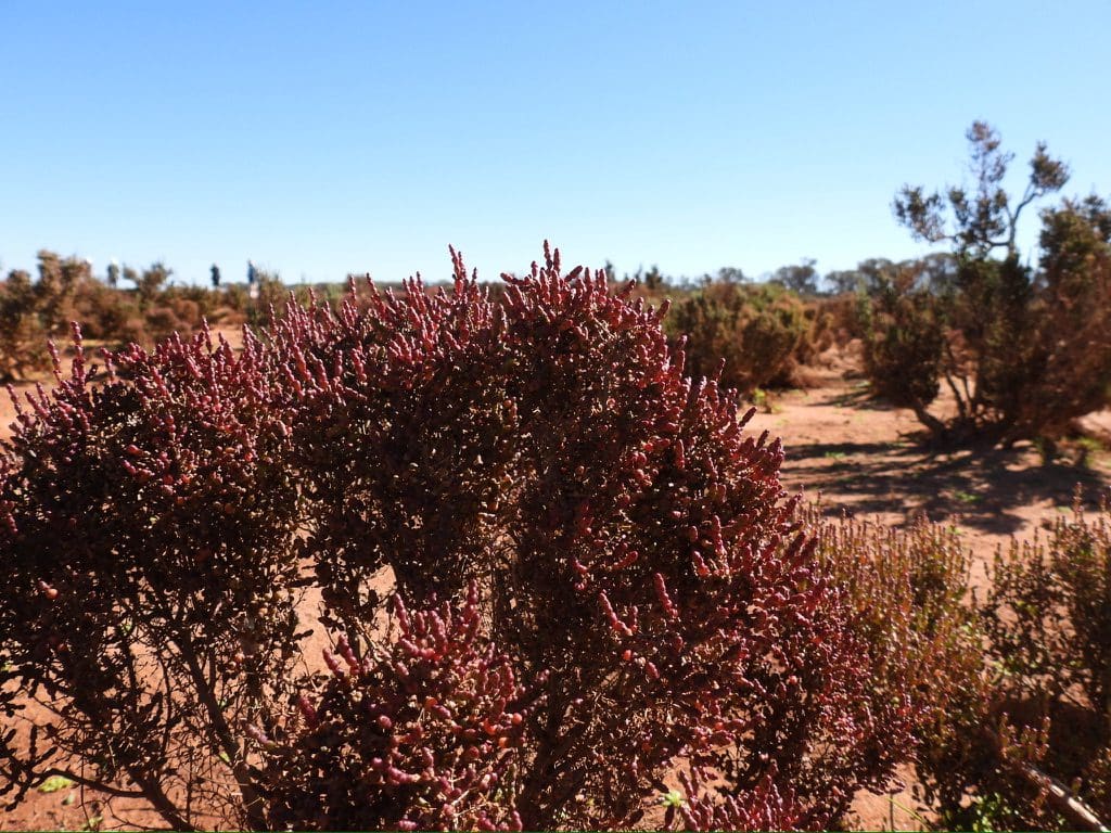
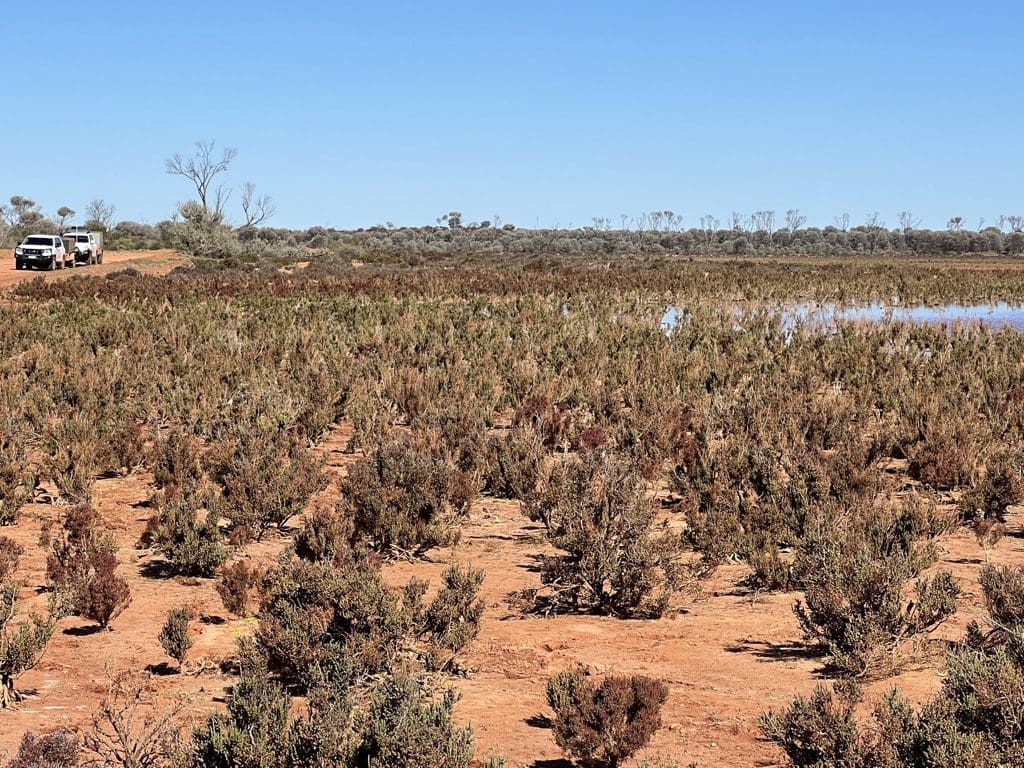
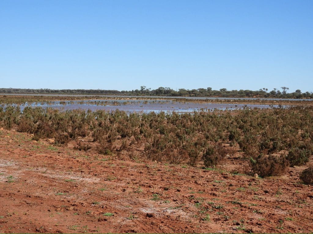
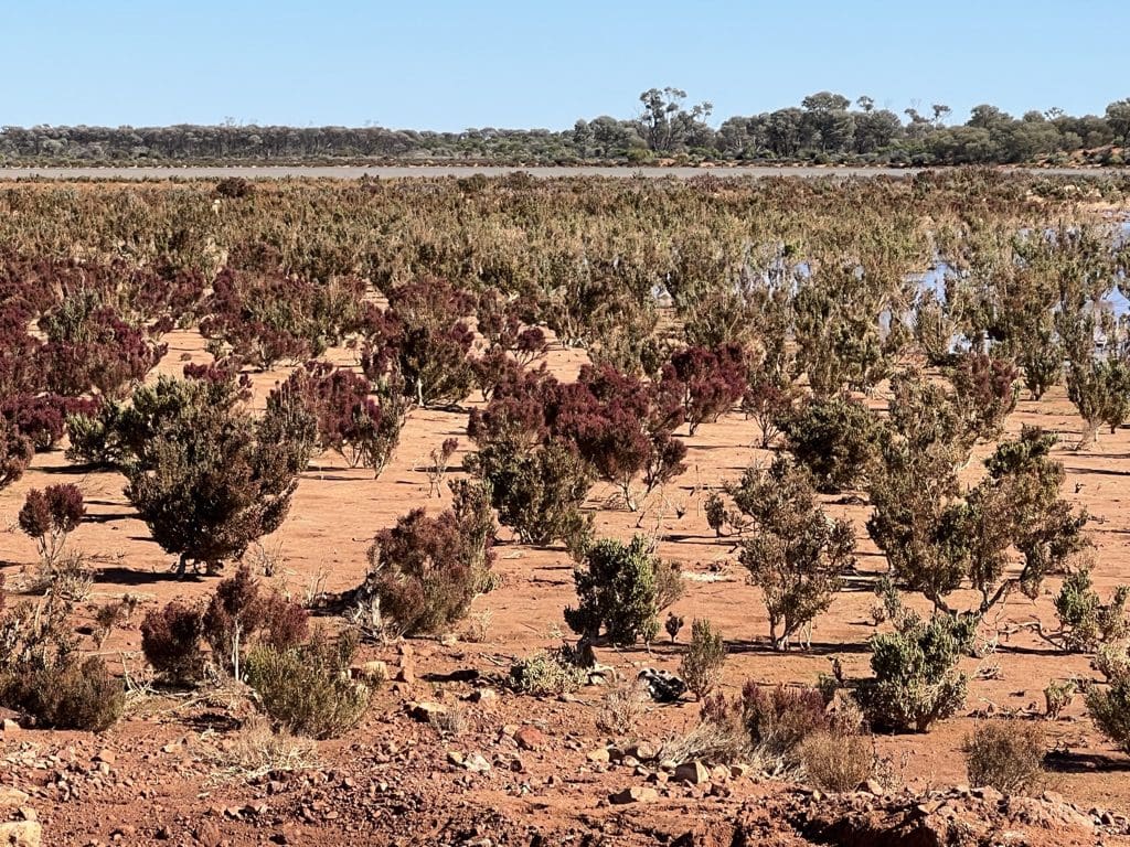
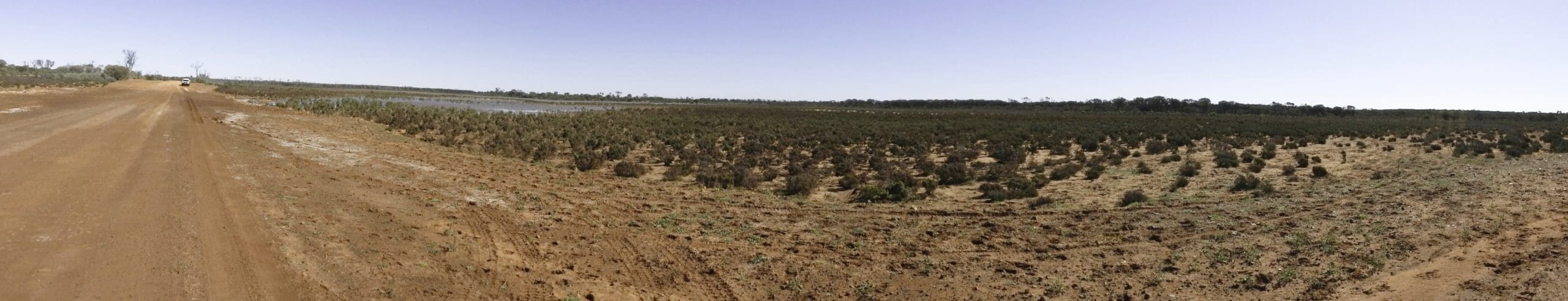
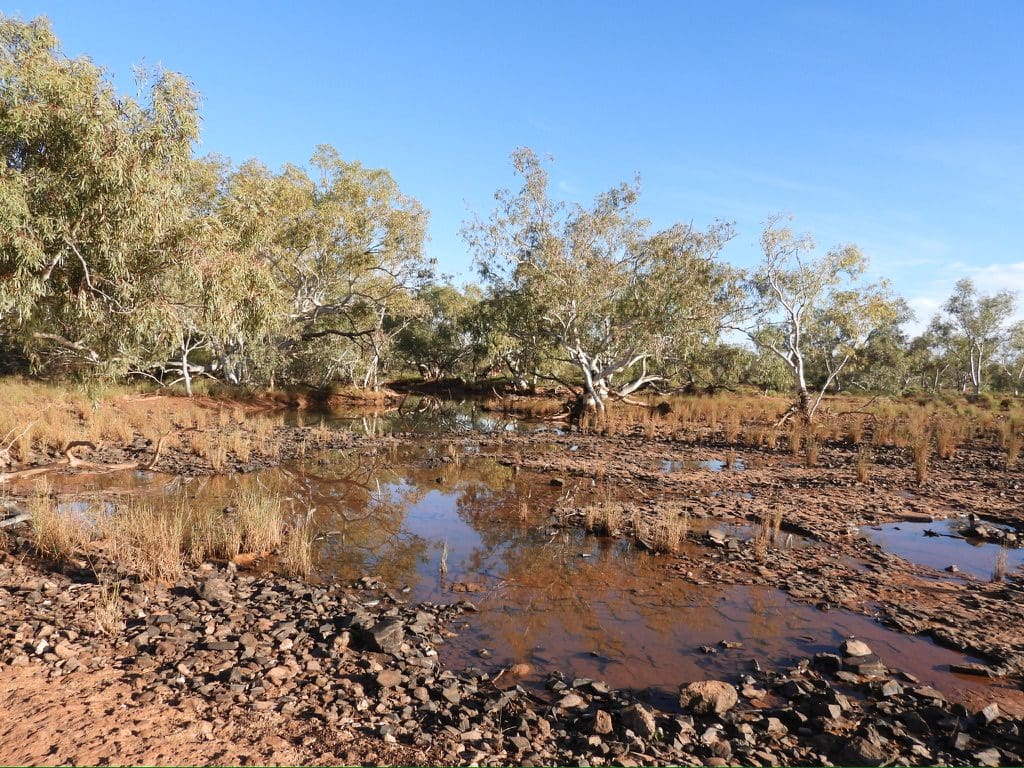
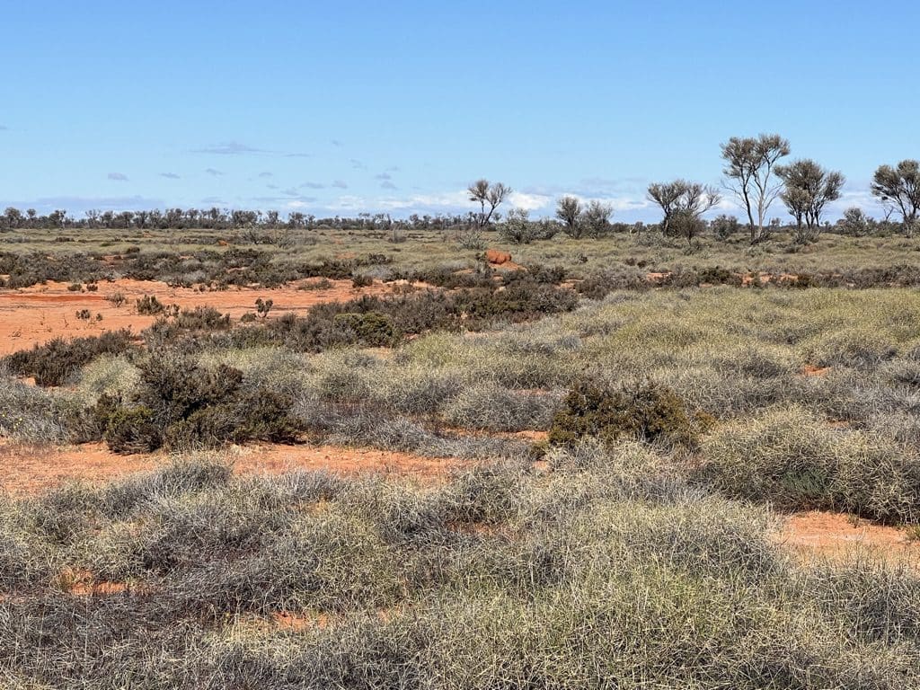
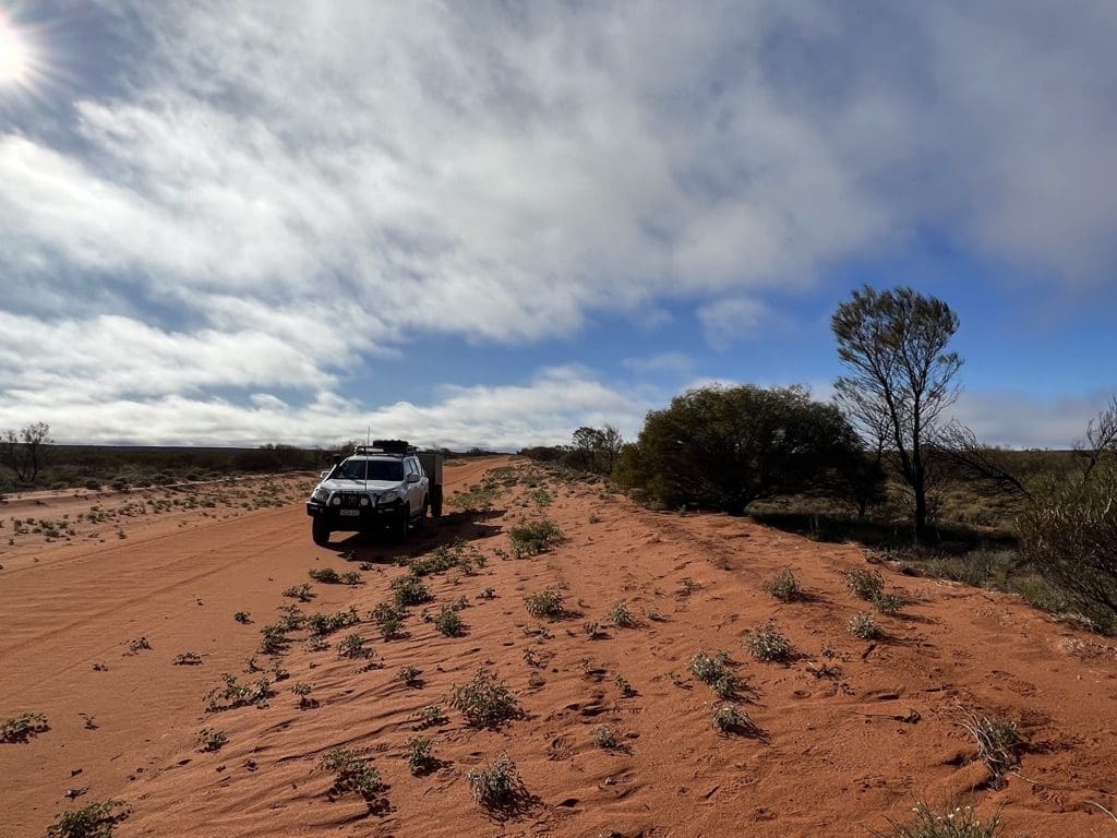
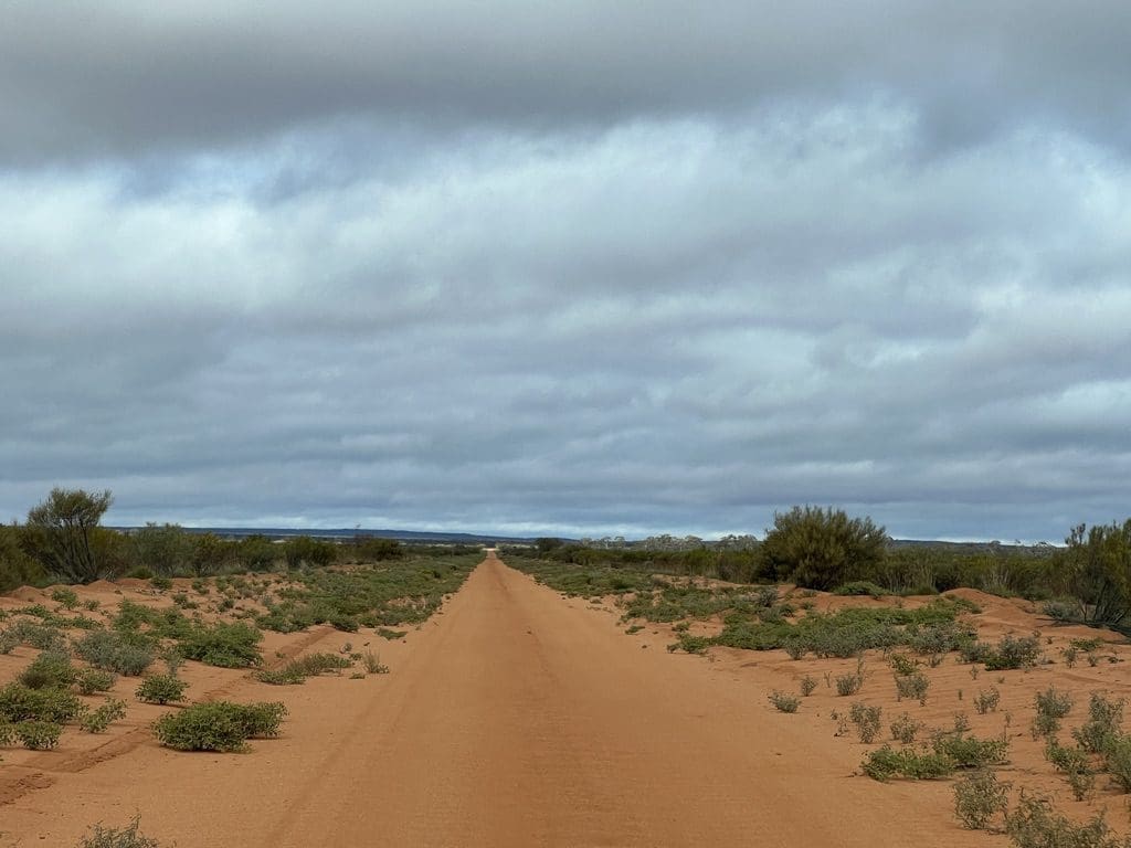
Tuesday 20 June. Day 7. Sprinkled rain steadily for extended periods overnight. Breakfast in the campground camp kitchen. Packing wet tents and other equipment into the trailer – strenuous. Driving west along Great Central Road and Old Gunbarrel Highway. Small flocks of Crimson chats. Great Central Road is wide and well maintained albeit corrugated. Lunch beside Warburton Roadhouse (fuel pumps in cages – no photos – poorly equipped shop at roadhouse). Cyclist heading to Perth. Sprinkling with rain all day. Temperature has dropped considerably. Drove SW for 40+km on bitumen then turned NW onto dirt heading for Gibson Desert Reserve on the Heather Highway another Len Beadell Road. Big vegetation change – mainly Spinifex with occasional shrubs. Very corrugated track often with tall Spinifex growing in the middle. Many chicken runs where people avoided washouts – sometimes doubled and even tripled. We camped at the junction of Heather Highway and Gunbarrel Highway. Occasional heavyish rain with passing showers. There has been maybe upward of 10ml of rain – very light – and almost none is showing on the ground. It all soaks in. The area we have been driving over is quite hard sedimentary rock which gives a very firm surface that we should not sink into. If the rain gets heavier for prolonged periods, different story. How we proceed from here is already under discussion.
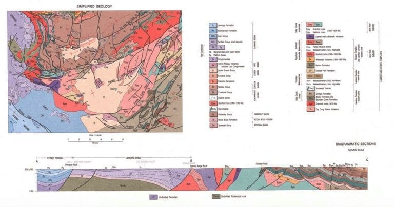
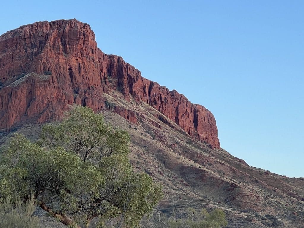
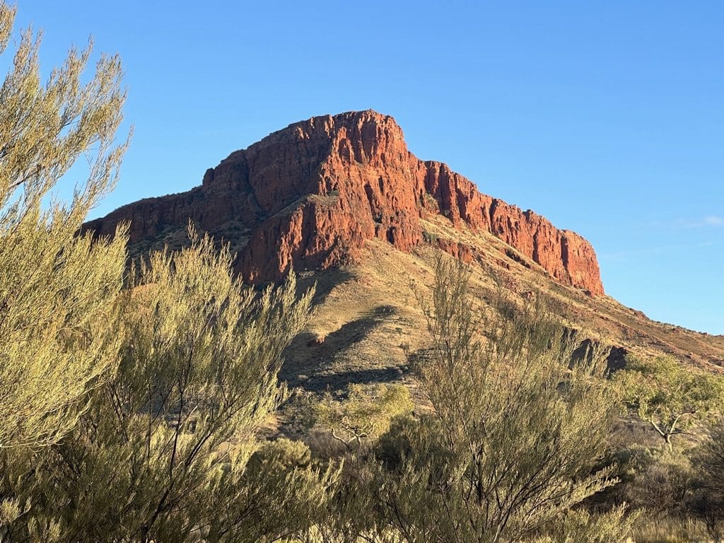
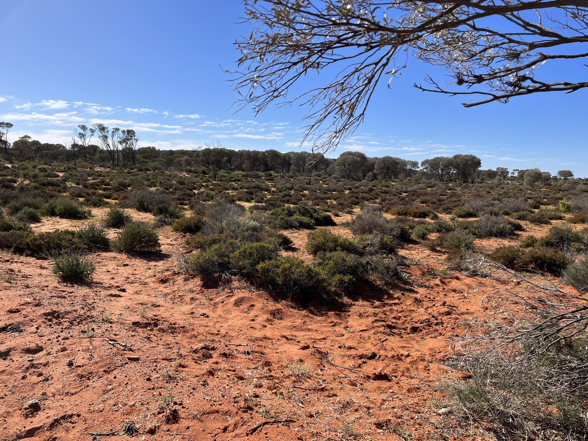
Wednesday 21 June. Day 8. Rain persisted until about 3am. Woke to clear skies. Decision made to retrace our track to the Great Central Road because that amount of rain probably made the track ahead treacherous. Concern about boggy bits. Caution. Chirruping Wedgebills and crested bellbirds. Unlike our sandy deserts, the Gibson is just dry with extended plains on small Spinifex and mulga in the slightly lower bits. Under the surface are almost horizontal beds of sedimentary rocks. Immediately to the east of us, would have been the extensive bands of mountain ranges.
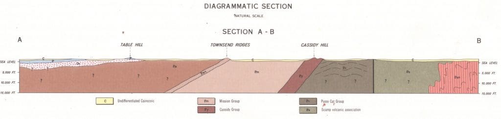
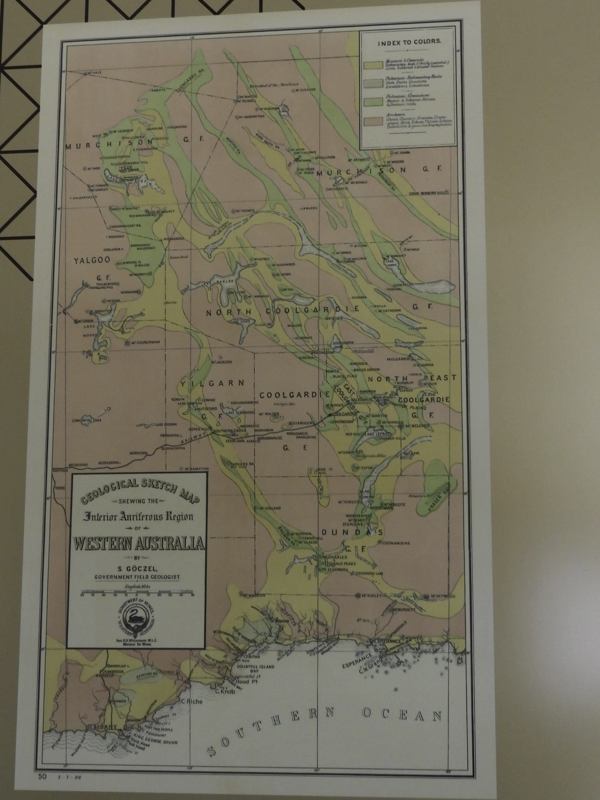
Cross Section from Geological Map of this area. This link will give the original.
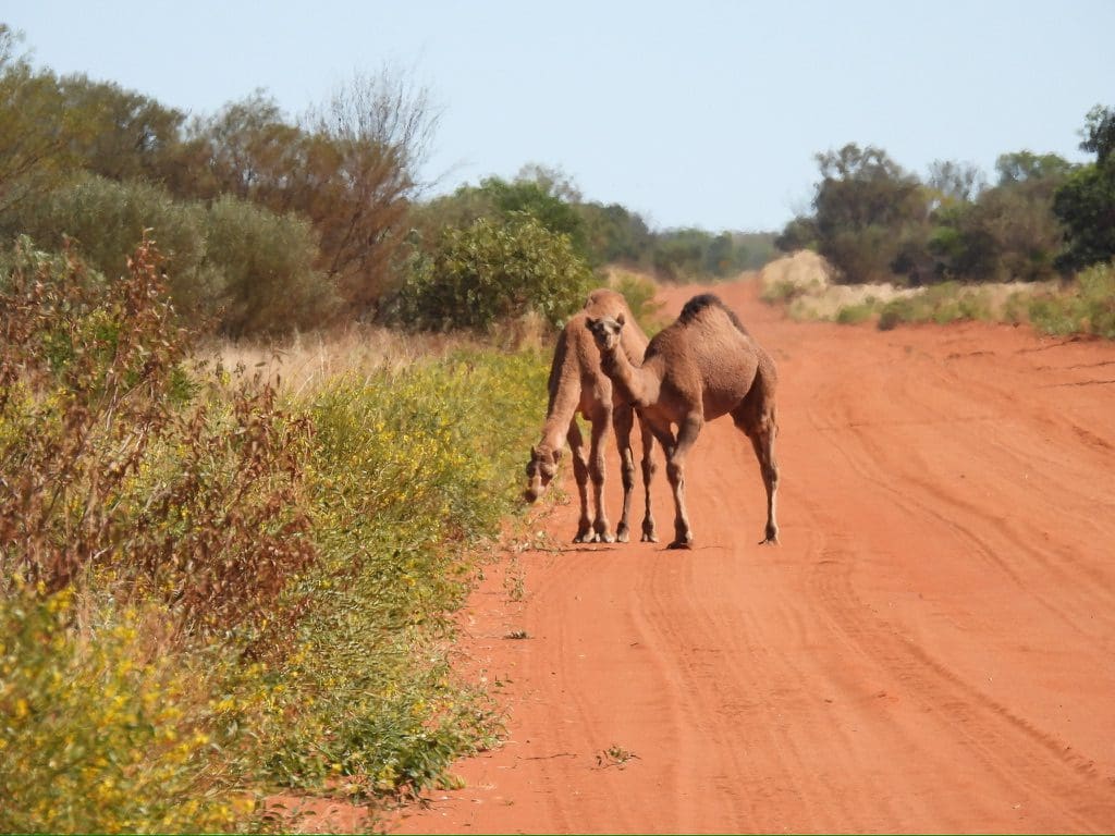
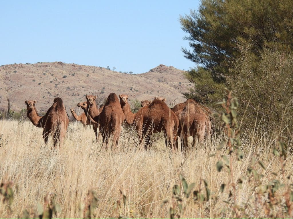
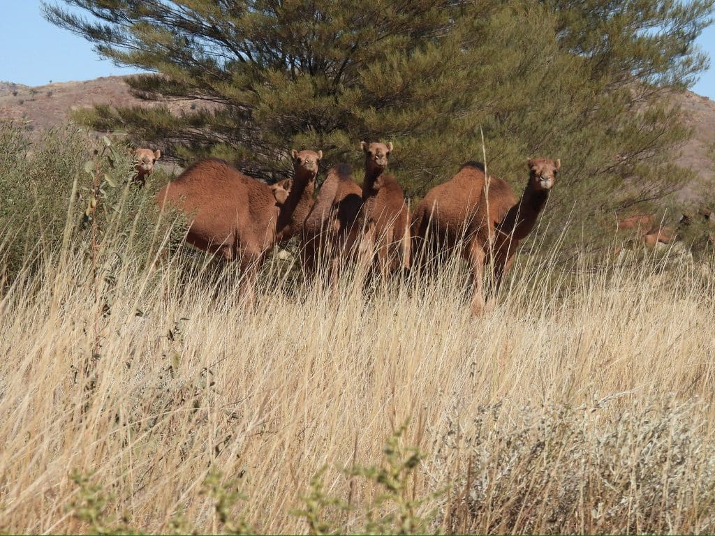
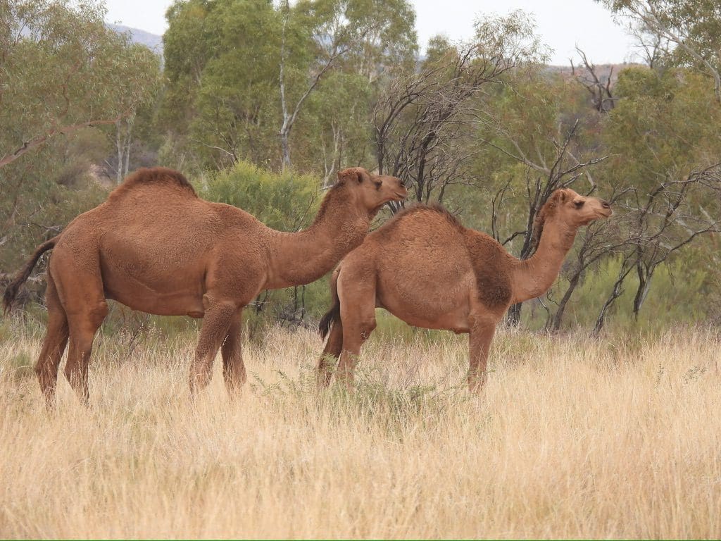
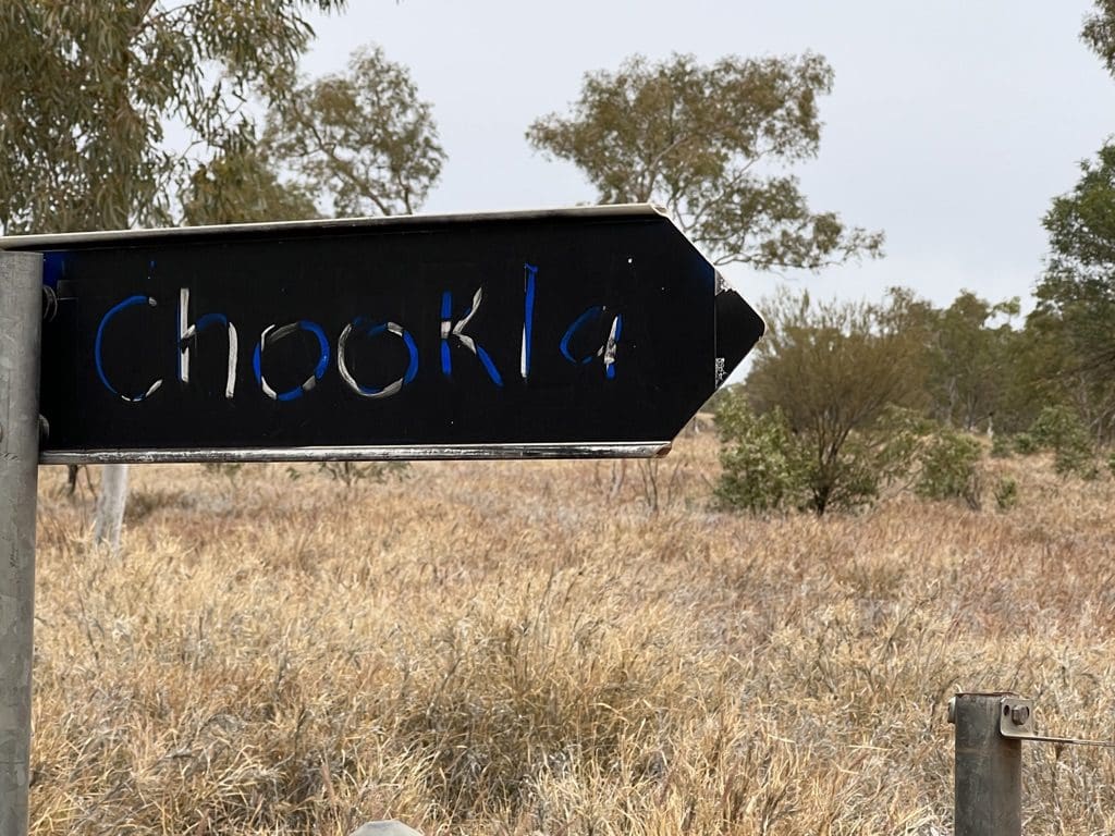
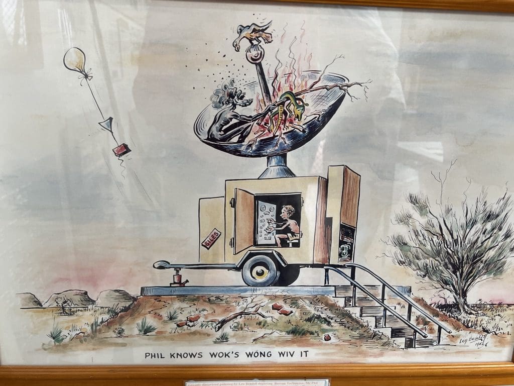
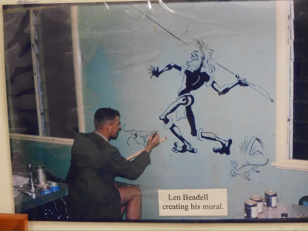
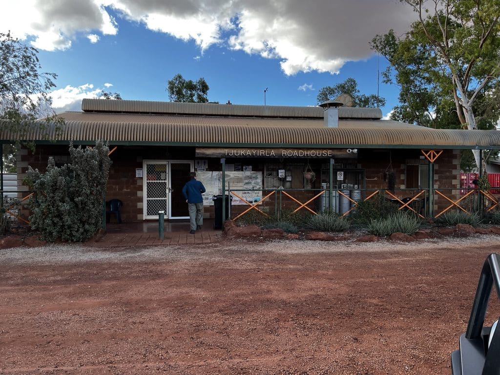
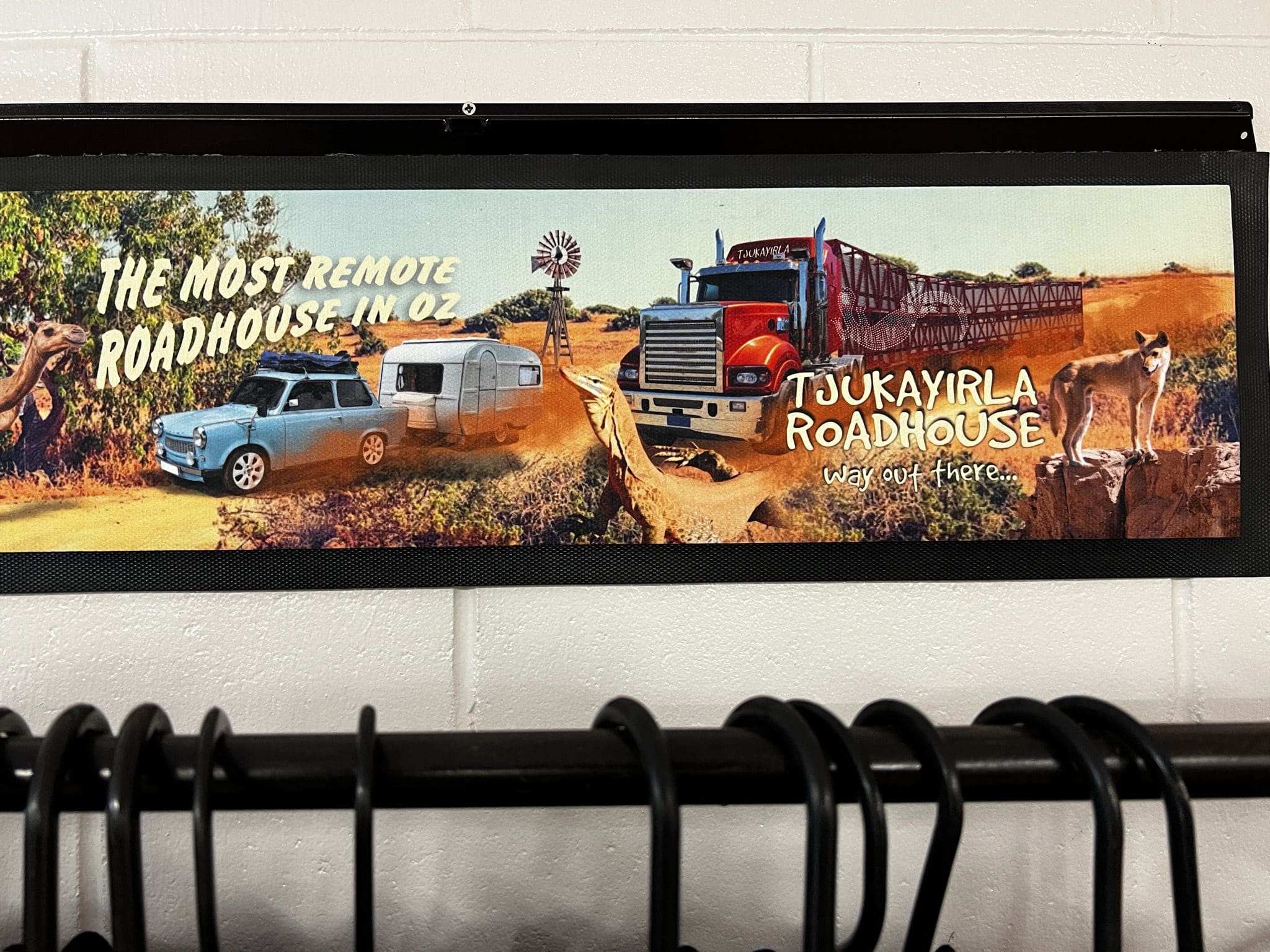
An analogy would be the Gibson is like the plains around Calgary, Alberta with the Rocky Mountains to its west. All those mountains east of here are long gone. Eroded away over hundreds of millions of years. The more we have traveled over his roads, the more I am impressed by the work of Len Beadell – 6,000 km of roads that are extremely well placed in the landscape; straight where possible and always taking the easy way. We drove back south along the Heather through the southern edge of the Gibson Desert for most of the morning then at 11:30 turned right onto the Great Central Road (still on the Gibson though with occasional very small sand dunes). Quite soon we began to pick up the sand dunes of the Great Victoria Desert. We will be driving across that for a couple of days. According to Steve Morton, the dunes of the Great Victoria Desert were fixed in place 420,000 years ago. (Simpson was fixed 180,000 years ago.) Great Victoria Desert dunes are moderately flat in profile without any steep sides and have a pale red sand with everything covered by low shrubs. Our lunch stop was interrupted by a short windy shower that gave us a good cold drenching for a few minutes. We were stopped beside an outcrop of rock that looked to have been quarried by aboriginal people possibly for colours or shape edges. Soon after leaving there, the road became bitumen. Not for long. Afternoon spent driving SW along Great Central Road to Tjukayirla (chook-a-yer-la or ChookLa). We then stopped just a few kilometres along for the night. Camels.
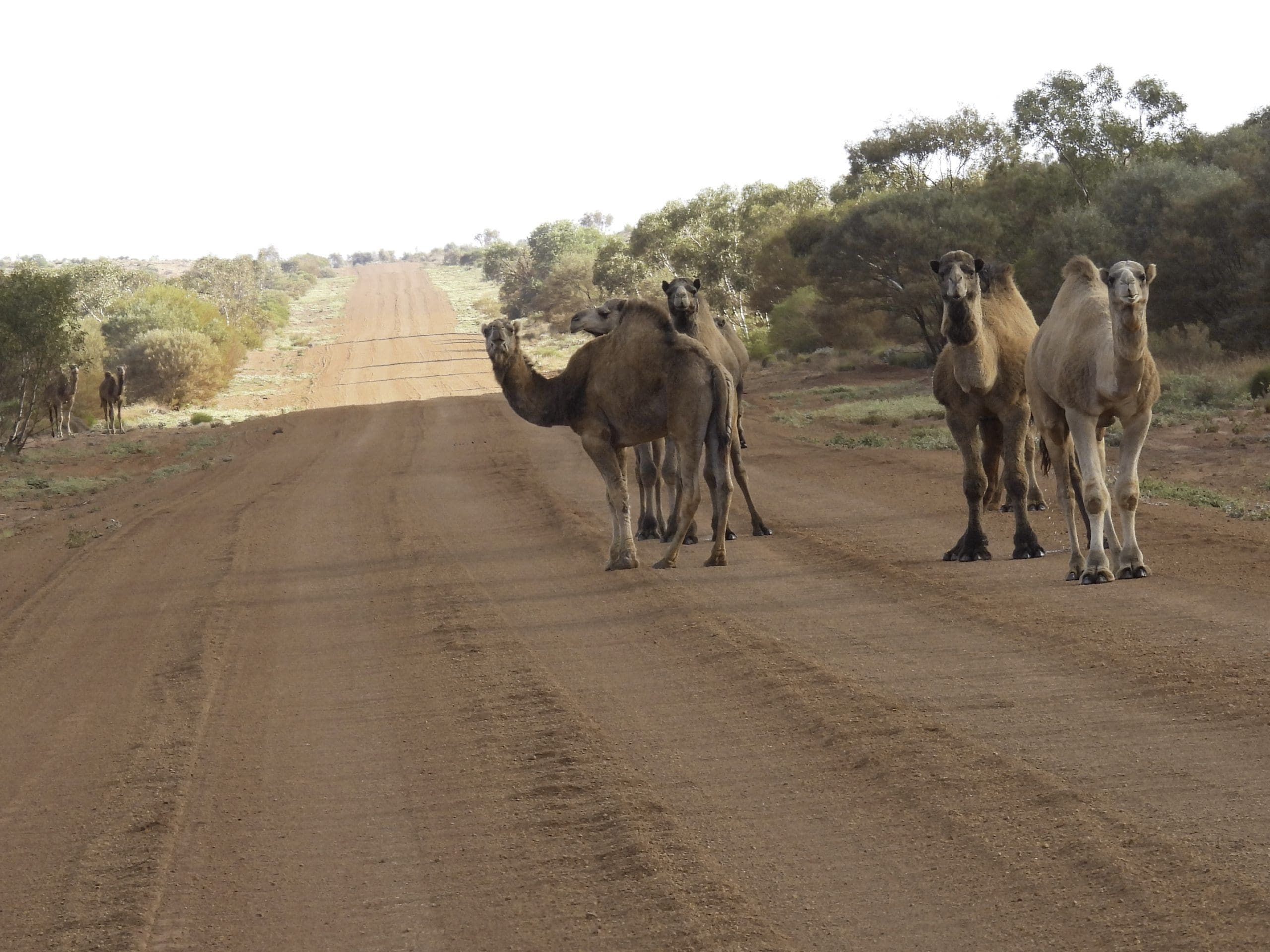
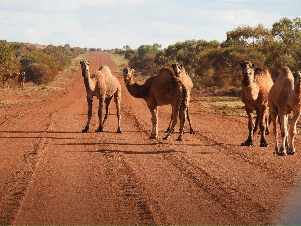
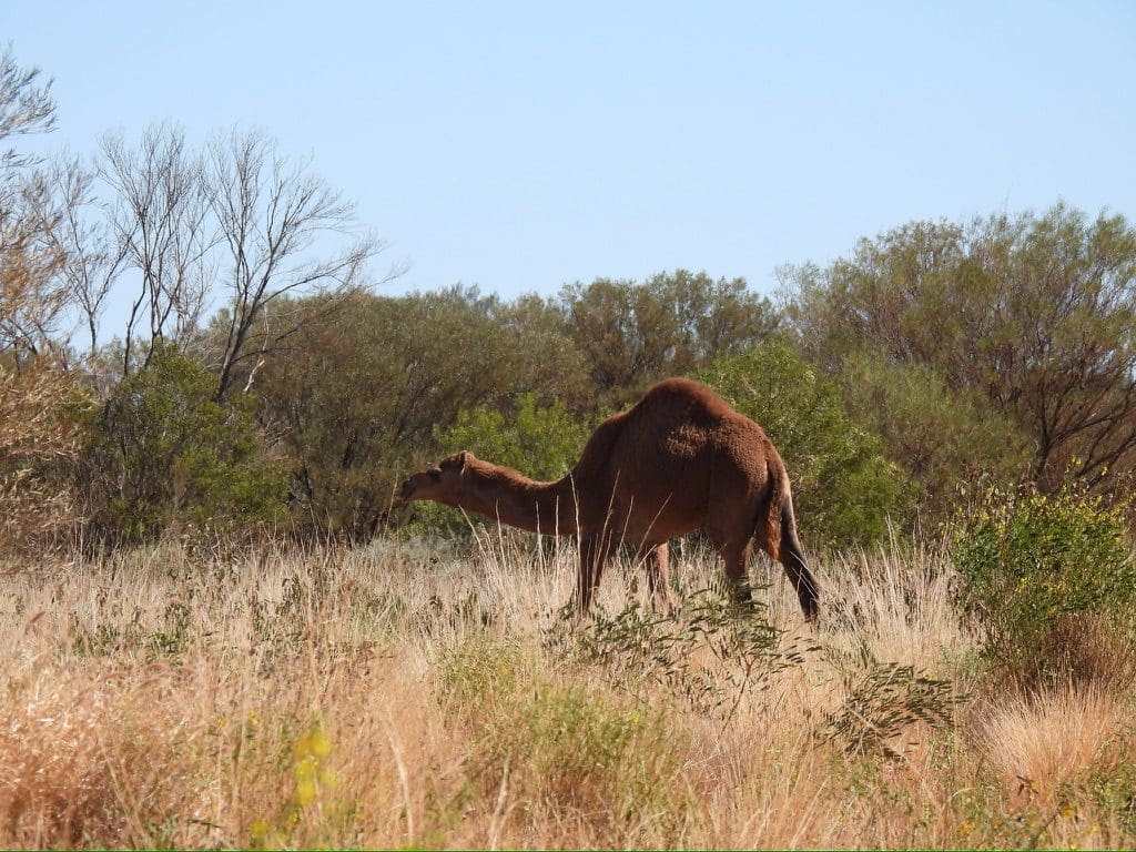
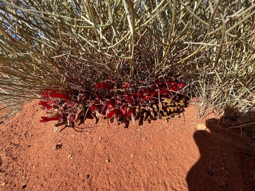
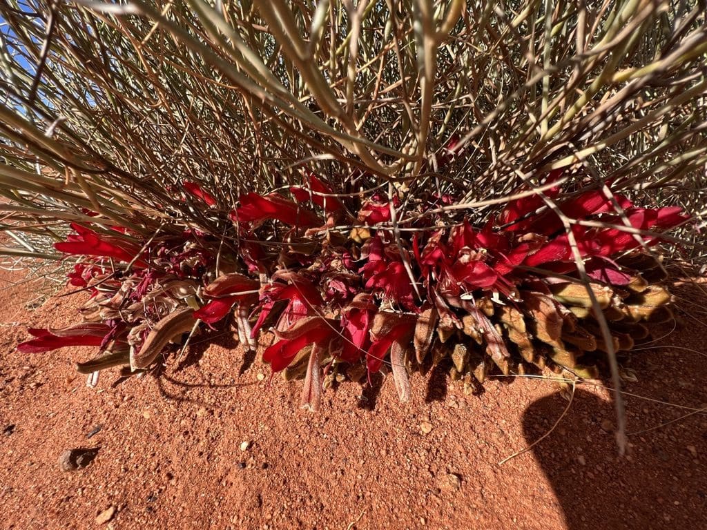
Thursday 22 June. Day 9. Quite cold overnight – about 0C. We had camped on a laterite. Quite bird rich. A short morning walk to look for birds. Got away before 9. A few camels on the road. I’ve been typing this text on my iPad which has now stopped accepting change. The area we had been heading for yesterday on our itinerary has had quite a lot of rain and would be impassable. We are now heading for Leonora via Laverton then up to Wiluna to attack that bit of country from the west. 600km more driving than the original plan. Drove SW along the Great Central Road across the Great Victoria Desert with mainly Spinifex alternating with stunted mulga. Higher ‘ridges’ are sand dunes, calcrete or laterite. Great Victoria Desert is a bloody big desert. I’m glad we are driving across this expanse of constant (dare I say boring) country but wish I wasn’t . Quite a cold breeze blowing in from the SW making any exit from the vehicles unpleasant. Stopped at Laverton for fuel, water and a few supplies then on towards Leonora. Just beyond Laverton, we stopped for the night in an abandoned quarry. A very long day of driving. (Photos for this and the next days are both in the gallery below.)
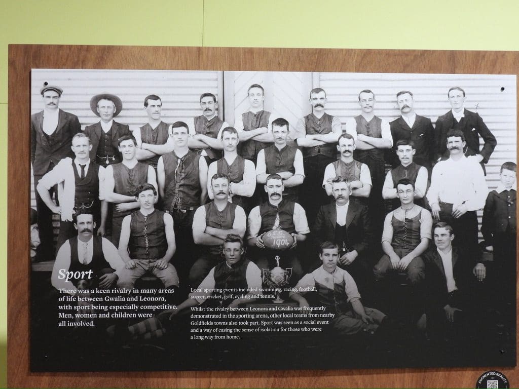
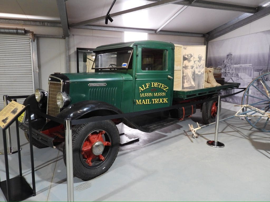
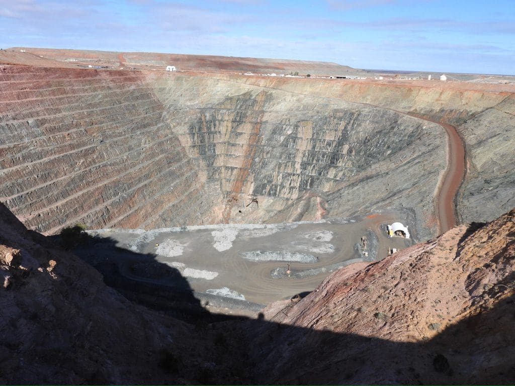
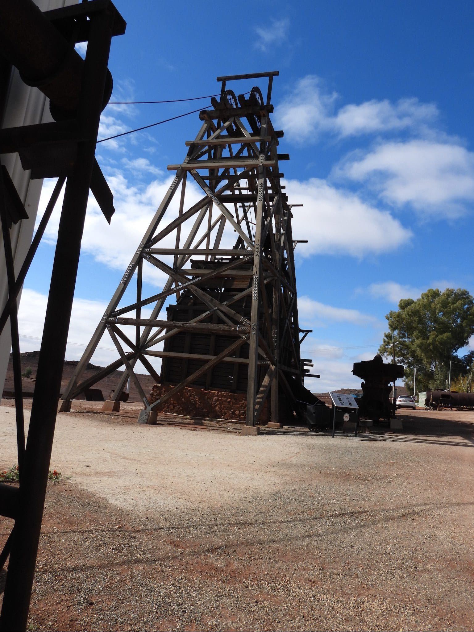
Friday 23 June. Day 10. A cold night. The wind yesterday had stopped before dusk but today it was back before dawn. Packing this morning was finger numbing. Away by 8:30. Driving on tarmac all day. First SW to Leonora, then north towards Wiluna. Stopped at Lake Malcolm – a few water birds (black swans, hoary-headed grebes, black-tailed native hens, black-fronted dotterals). At Leonora, we took a side trip to visit the Gwalia museum. Sons of Gwalia was a large gold mine from which 2.5 million ounces of gold was extracted. Herbert Hoover was mine manager here and set up its early practices in the first year of the mine’s operation in 1898 when he was a young man. He later became President of the USA. Gwalia closed in 1963 and overnight became a ghost town – special trains to transport 500 people away. The museum is excellent and definitely worth a visit. Very well laid out and not at all cluttered. We also had a change of plan and turned off the Goldfields Highway onto the Darlot Road at Bundarra. From there the road north will take us via Wanganoo Road back to the Gunbarrel. (Quite a lot of confusion around the Darlot Mine site with its signage.) After a lot of confusion, we found Wanganoo Road again and shortly after found a campsite. Gwalia museum was certainly a highlight of the day. Very glad we visited.
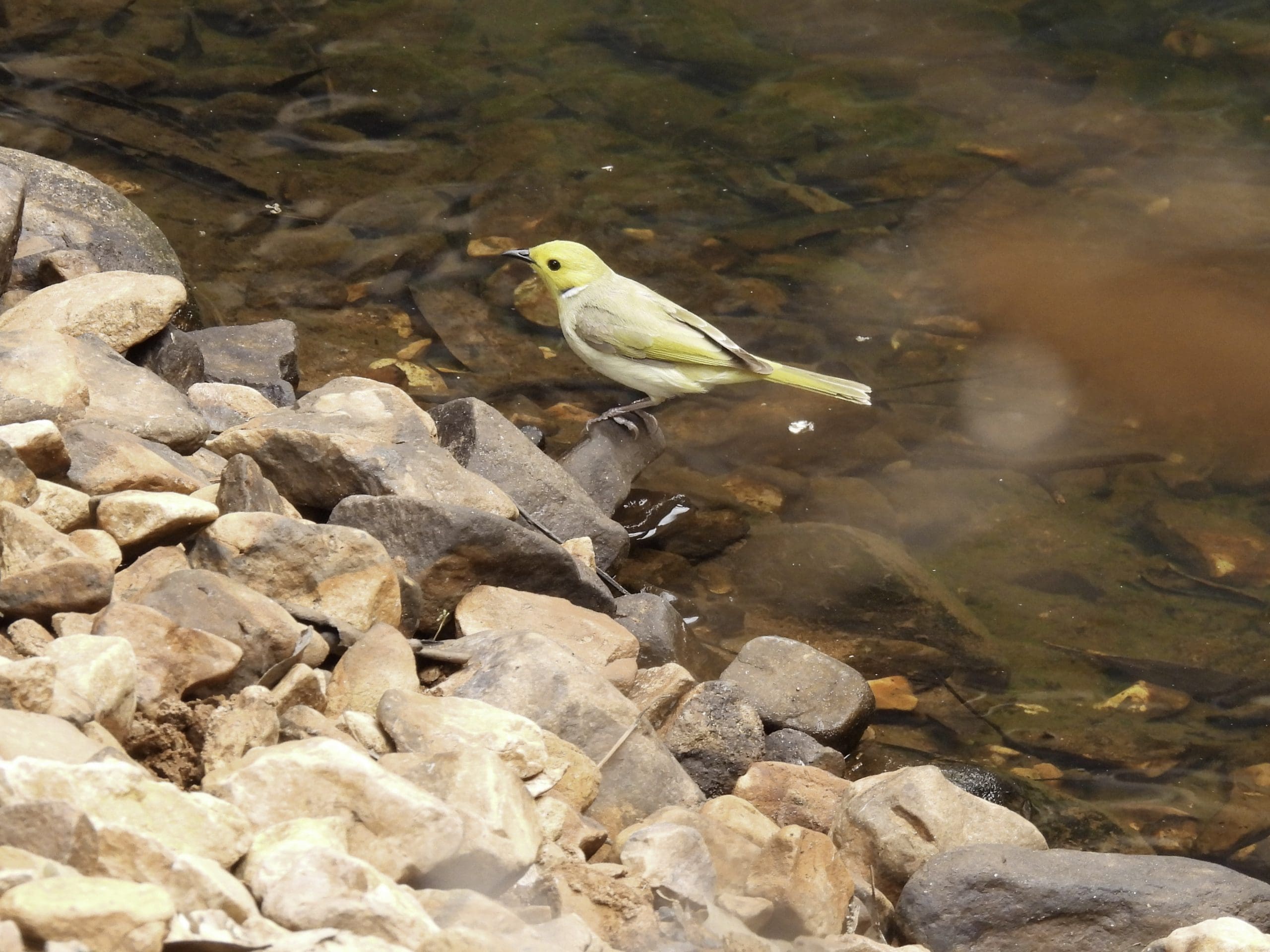
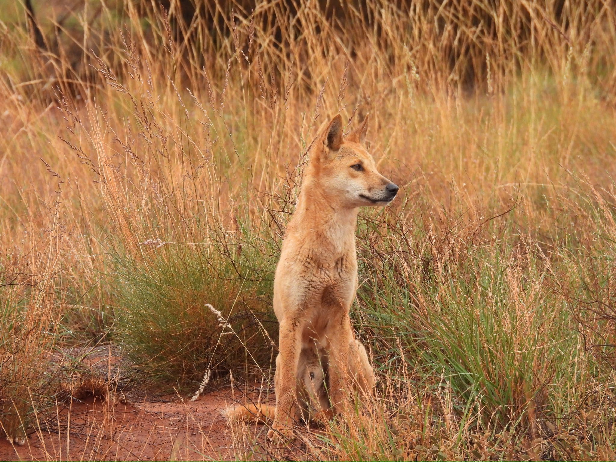
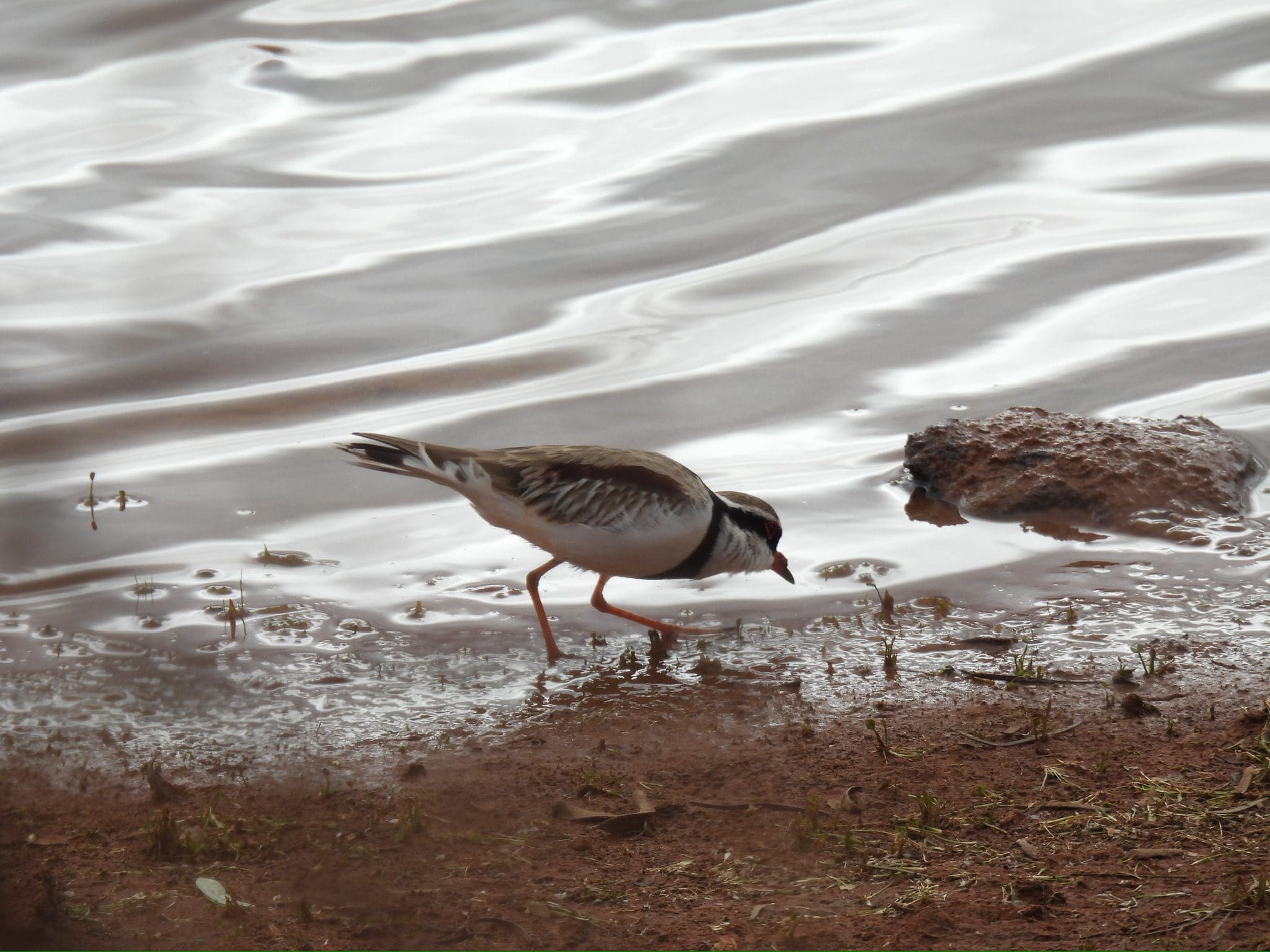
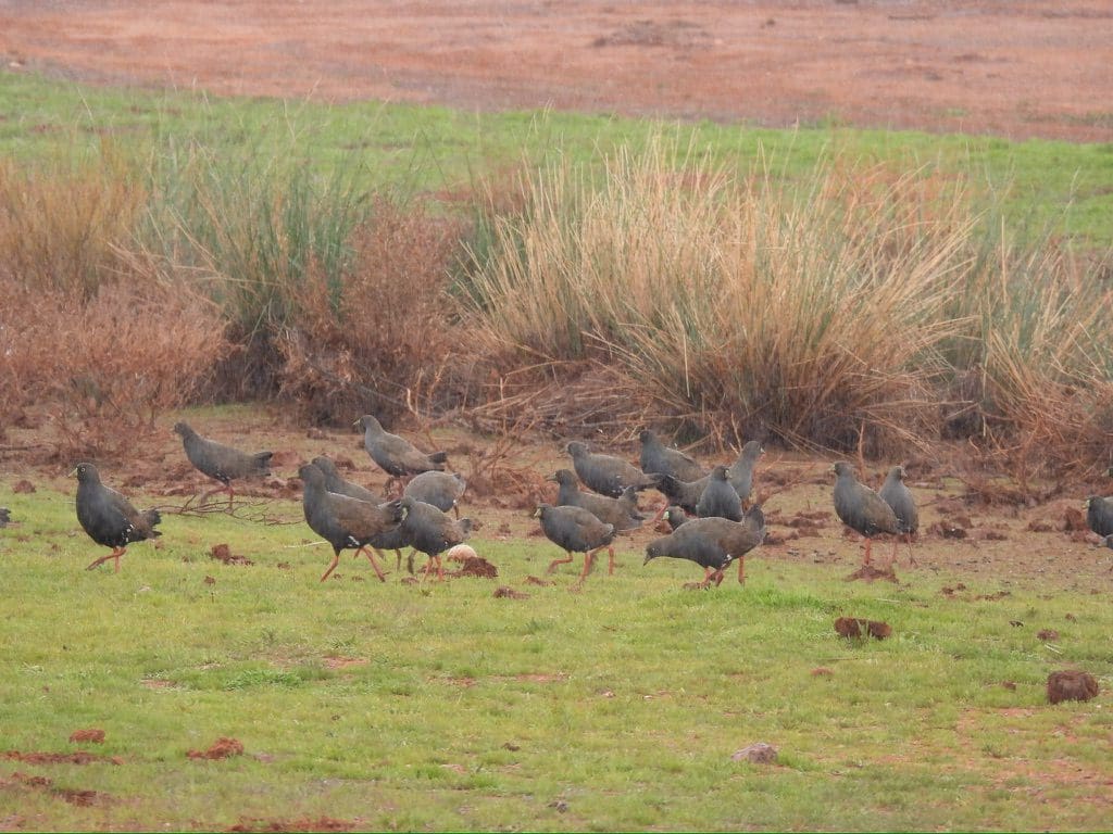
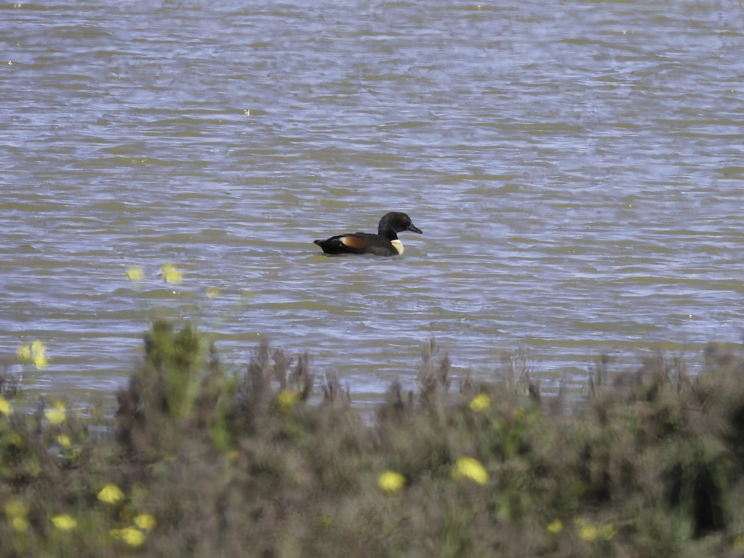
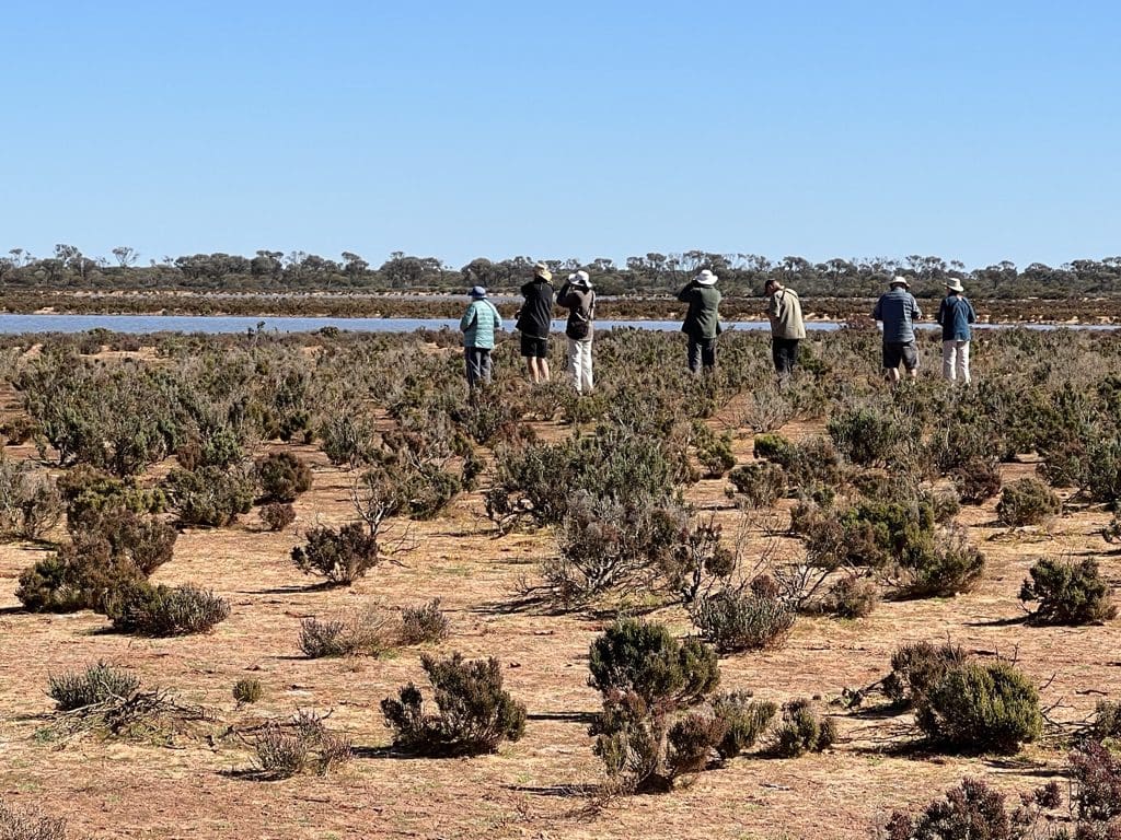
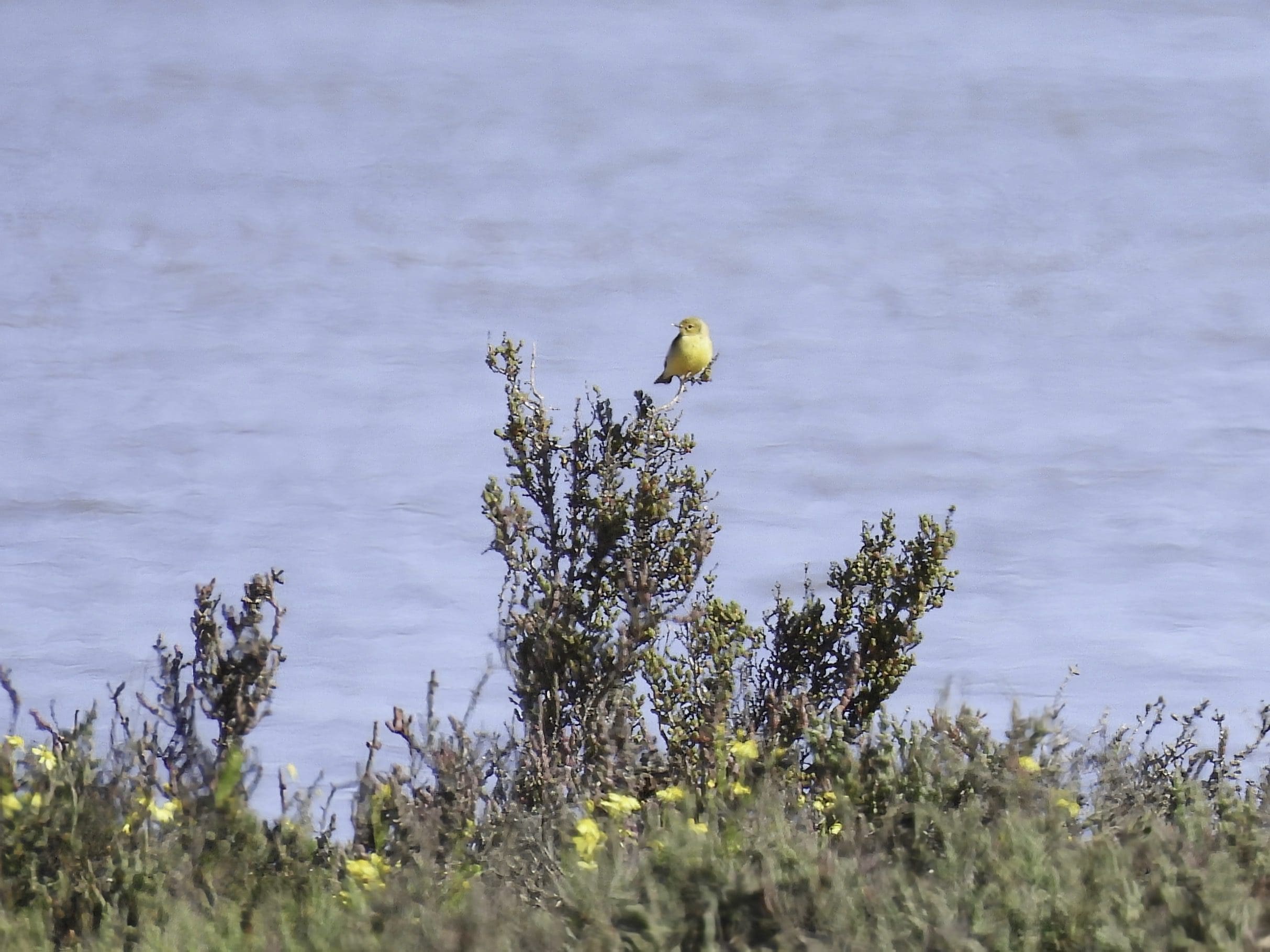
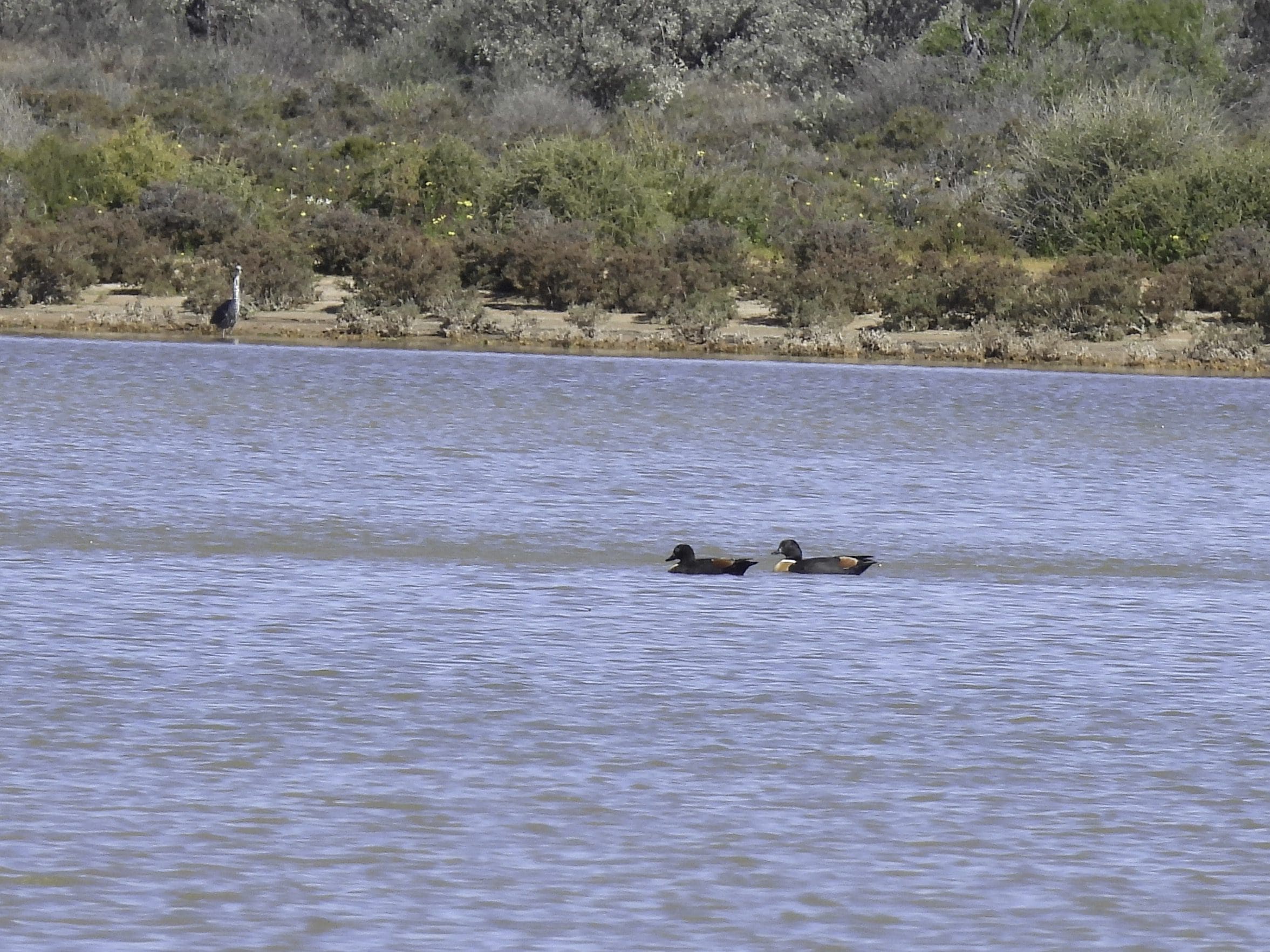
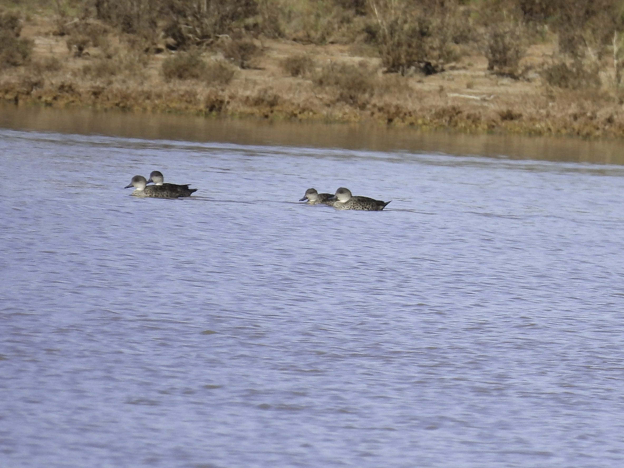
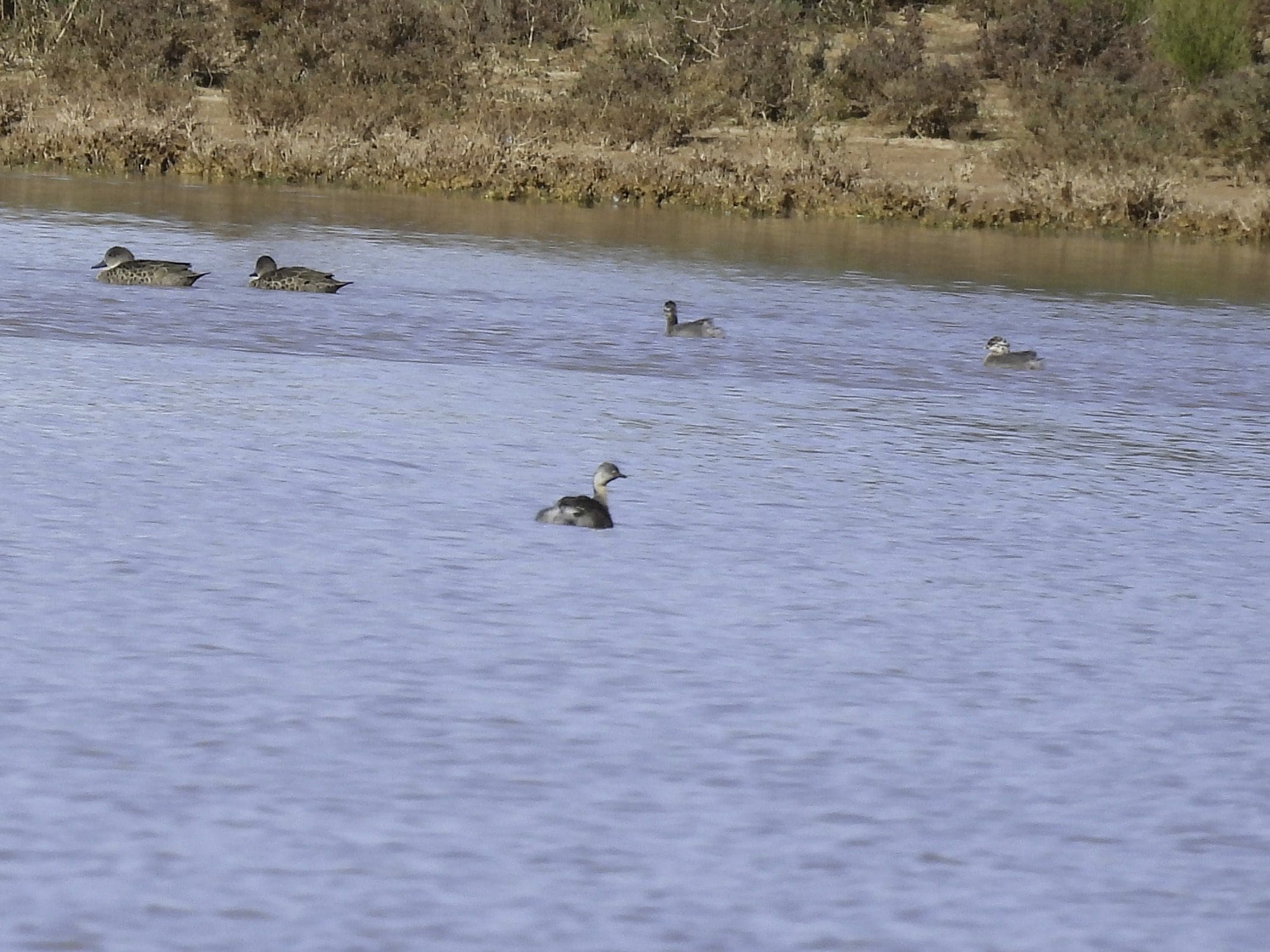
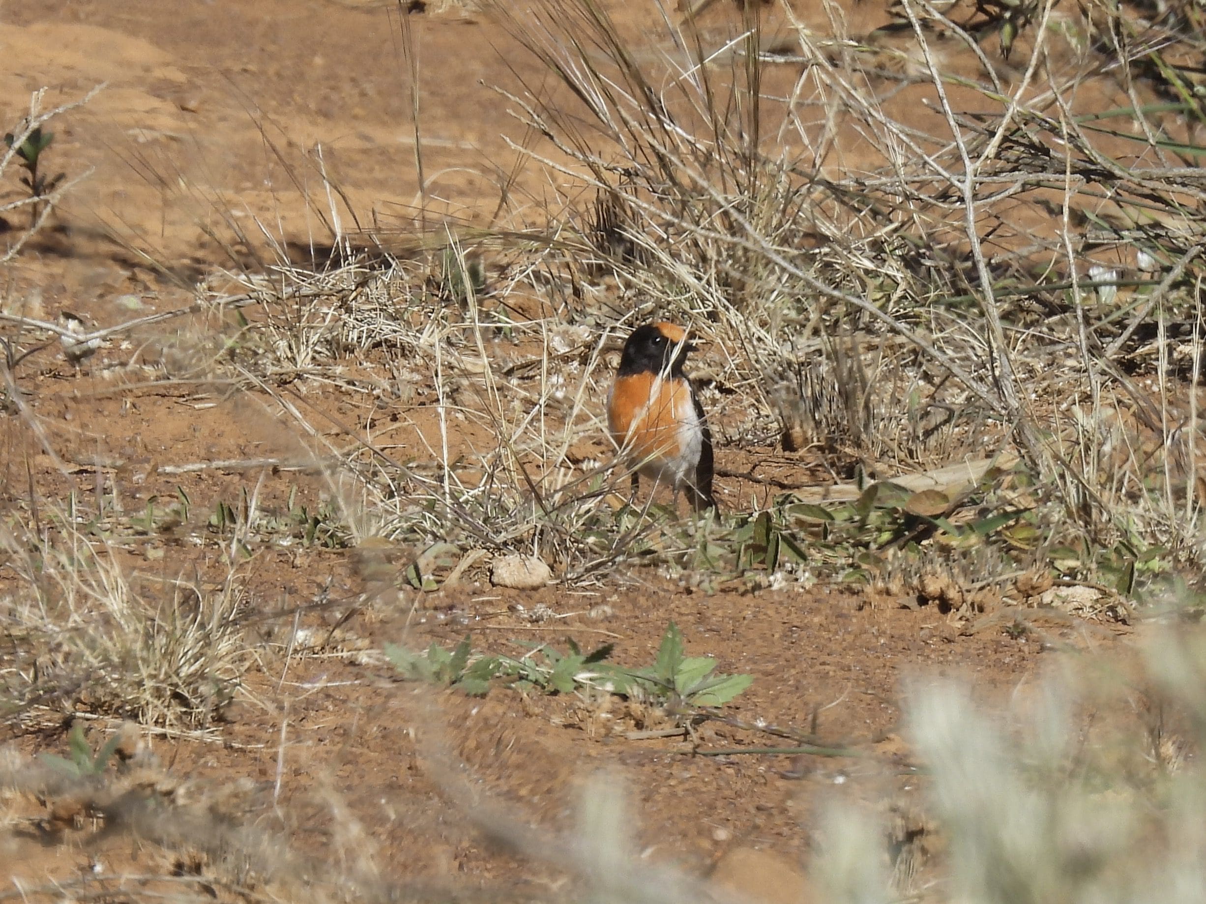
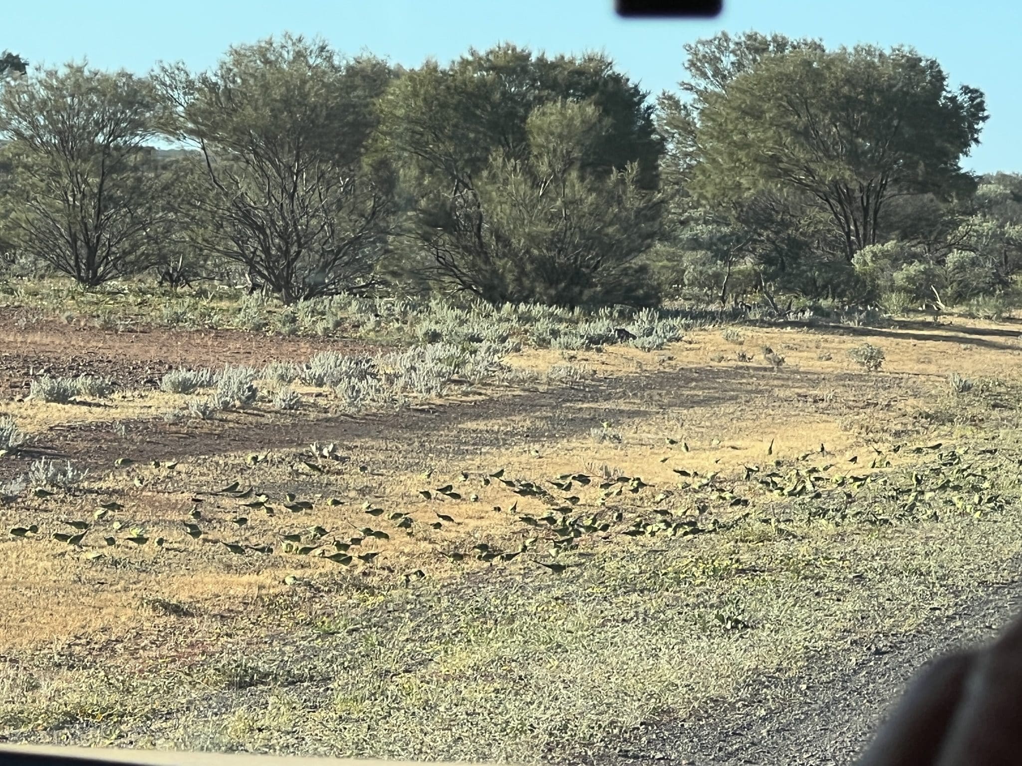
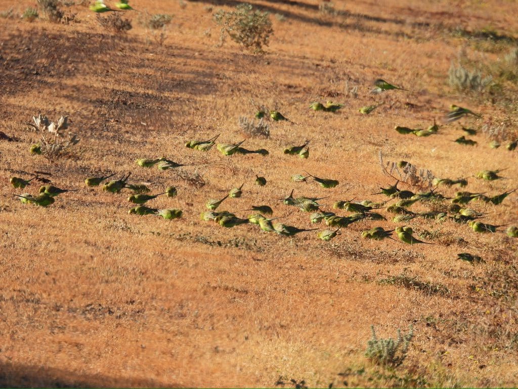
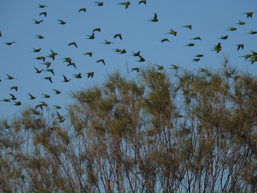
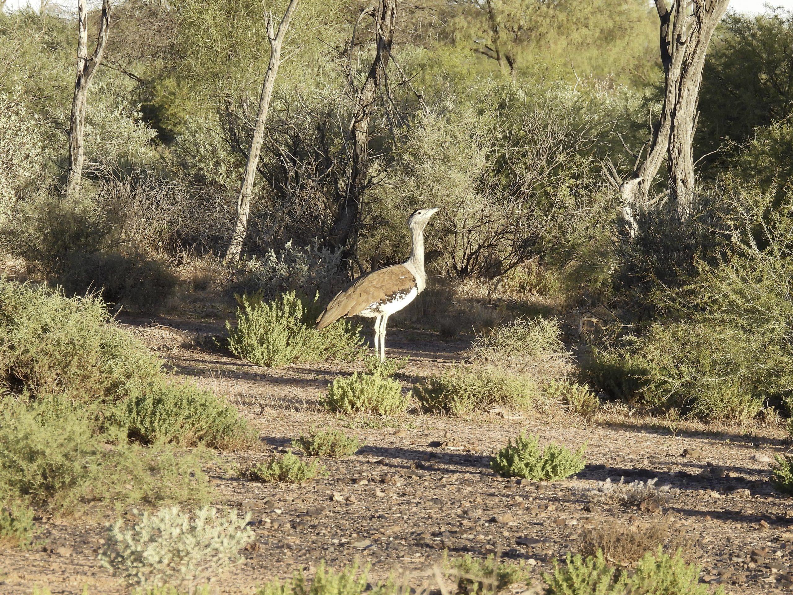
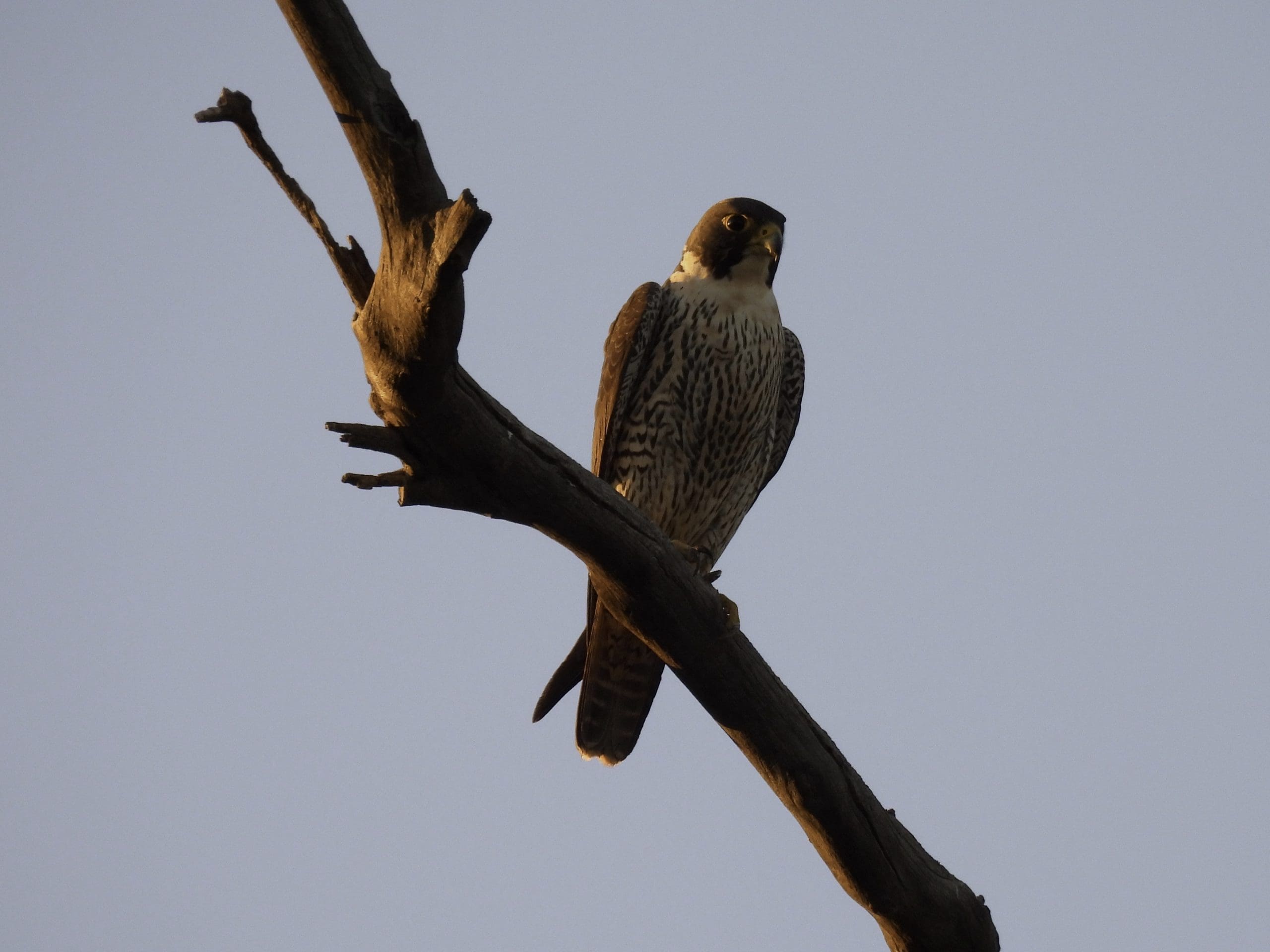
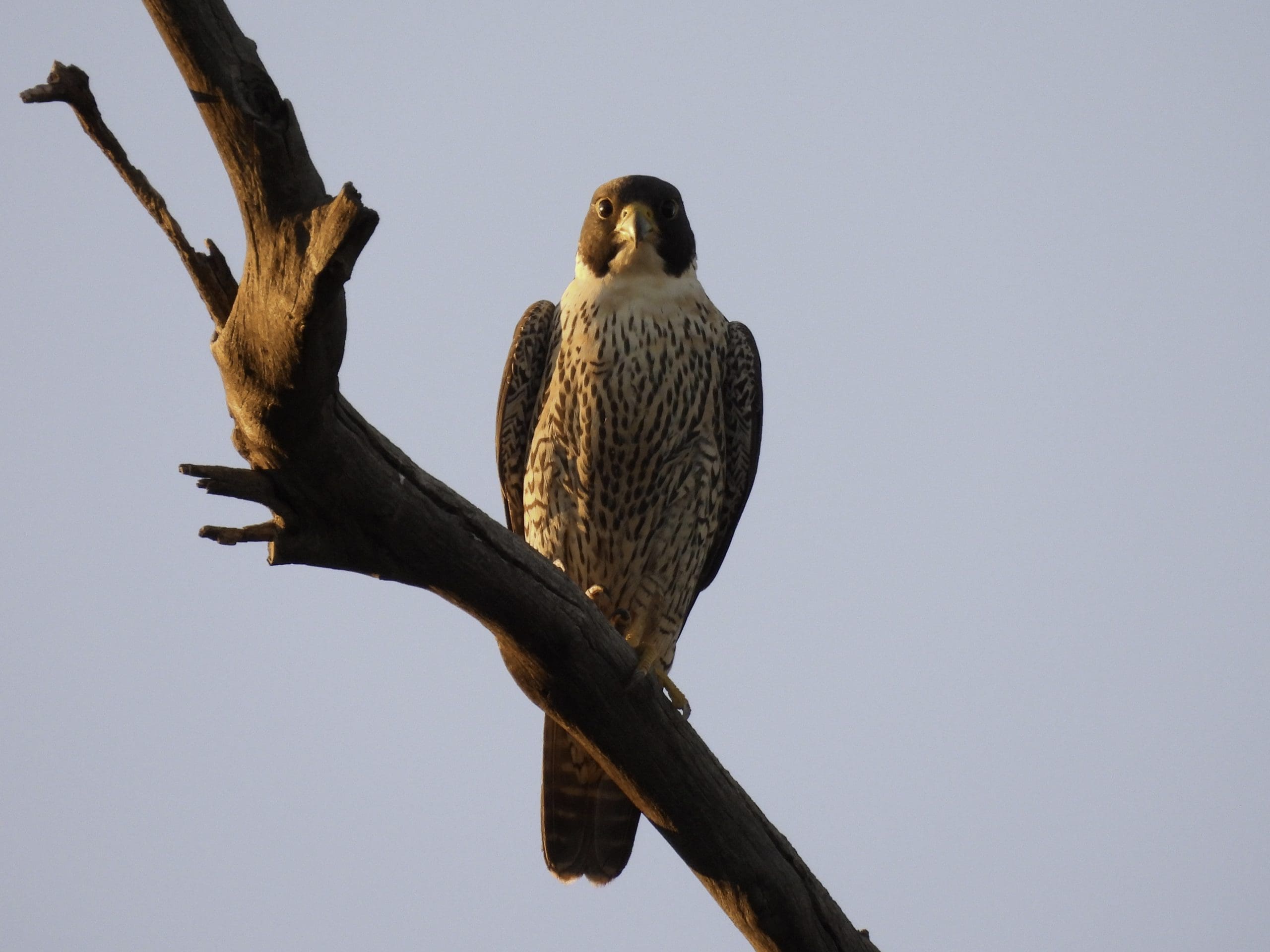
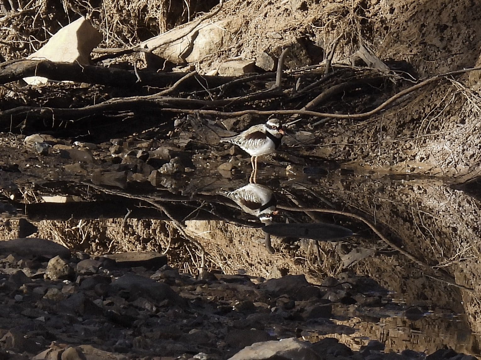
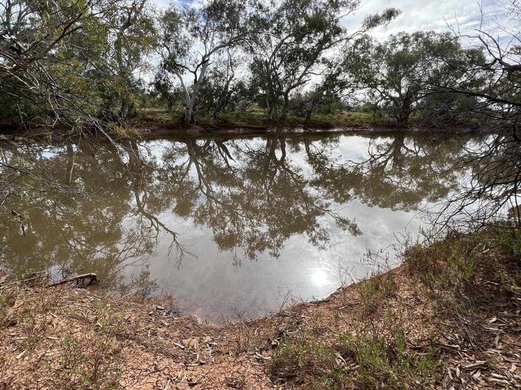
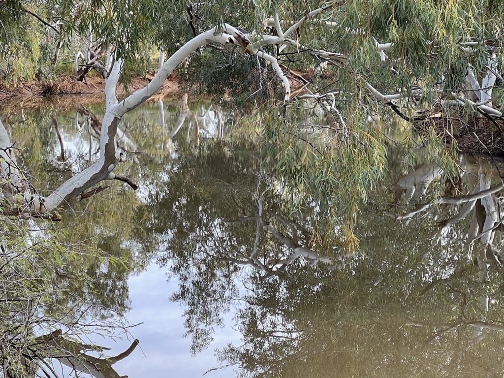
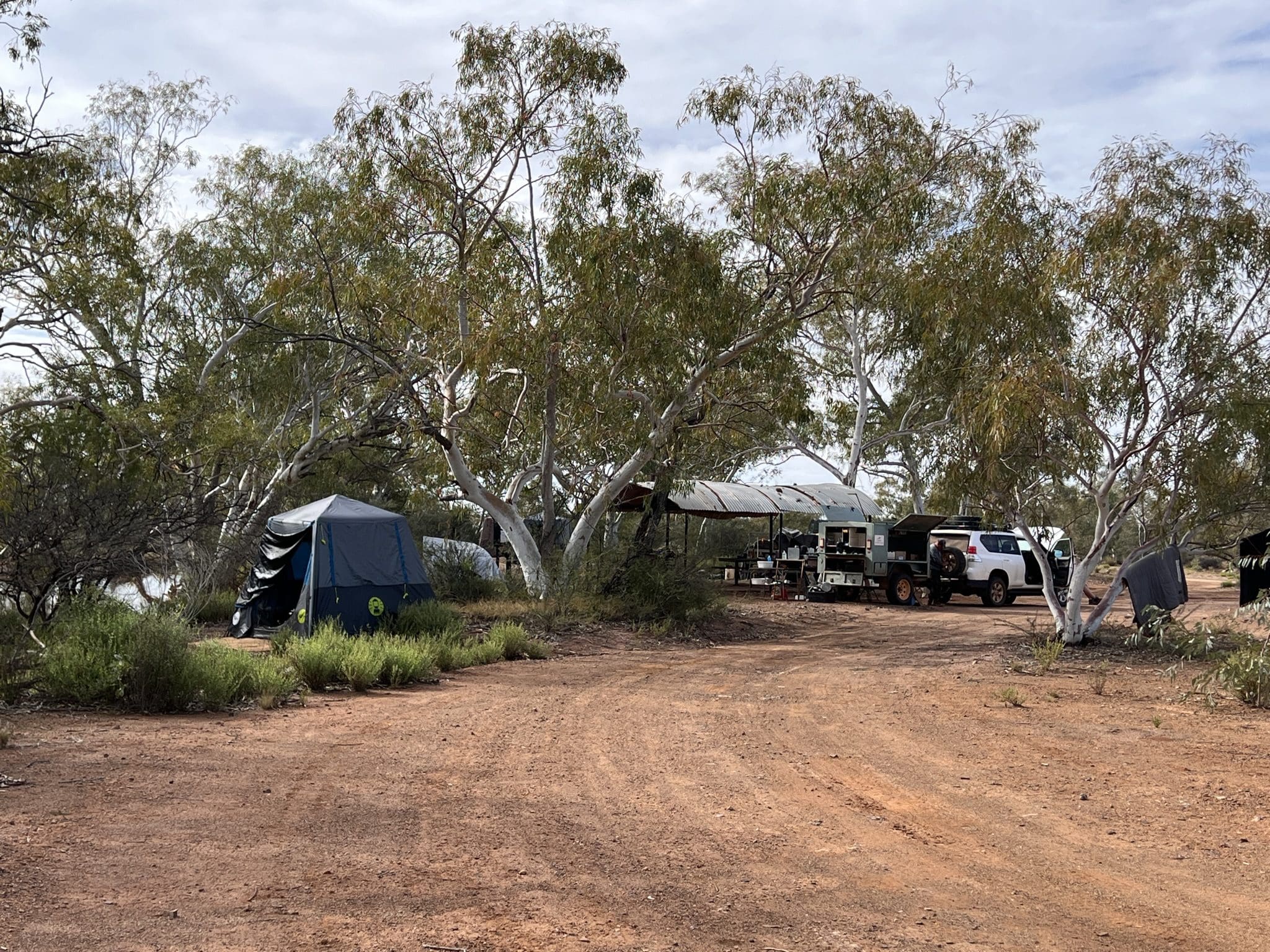
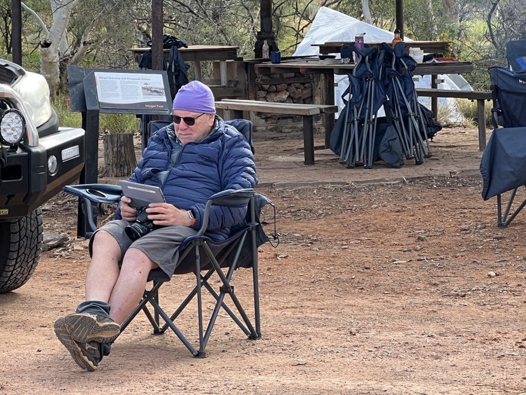
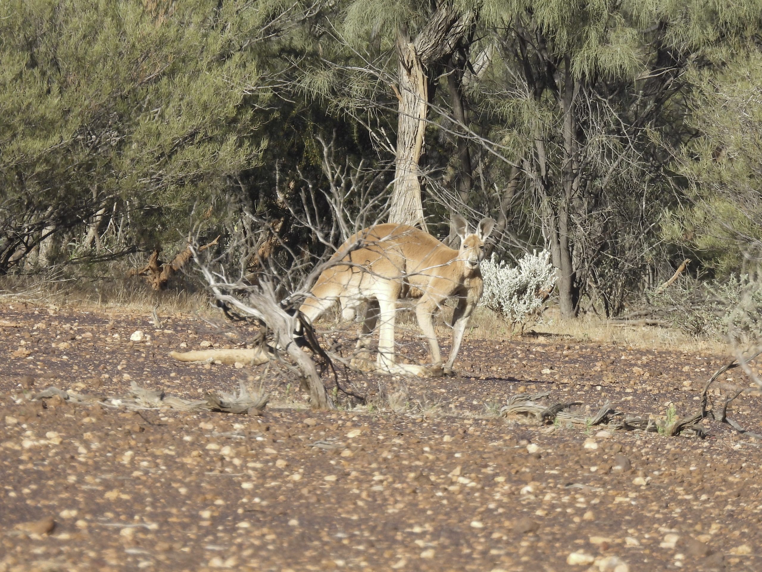
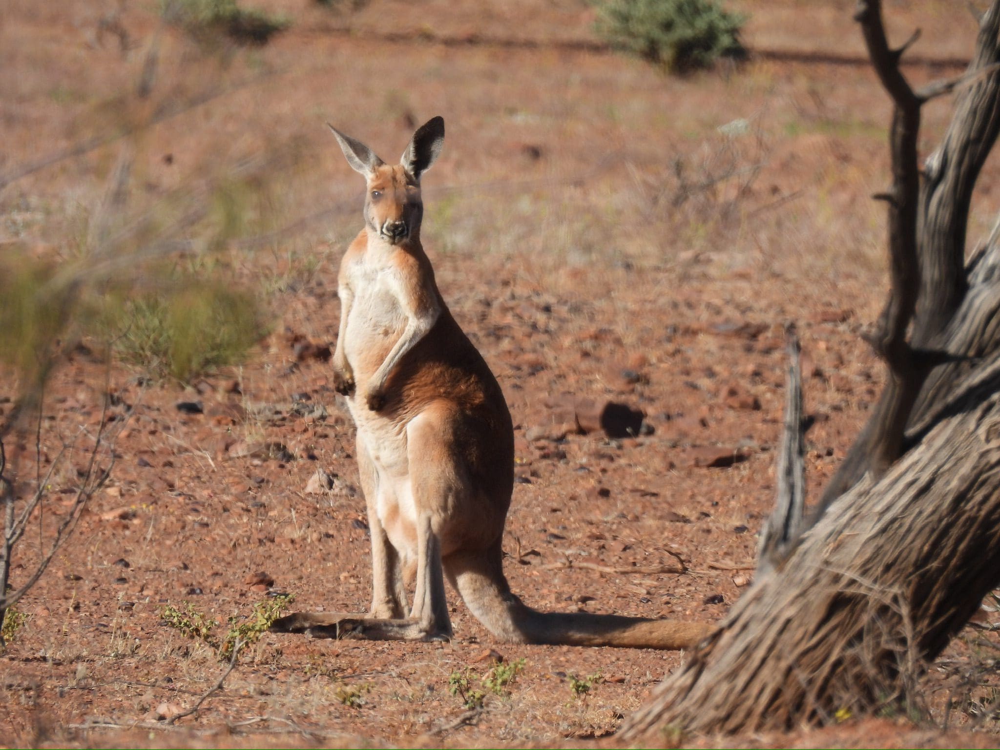
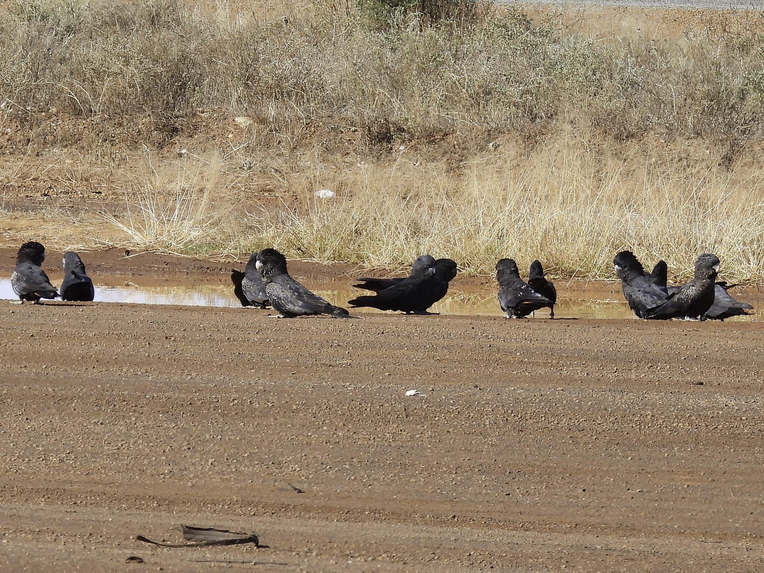
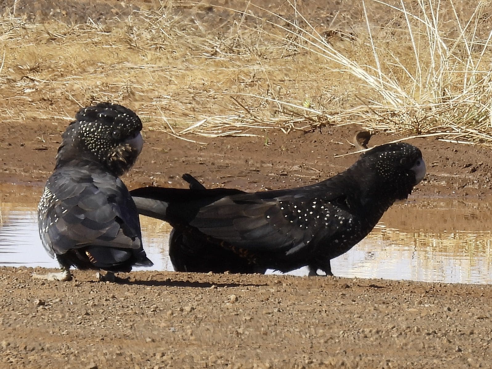
Saturday 24 June. Day 11. Slightly milder this morning. After loading tents etc, we managed a 2km walk while Red and Neil finished packing the kitchen. Morning warming up very well. A very nice, wide, straight, well graded road until we reached the Gunbarrel where we found corrugations again. Other than that the Gunbarrel is in good condition. We are still in the NW of the Great Victoria Desert which is in excellent condition following rain along the section where we joined it. The 140km before that was in very poor condition – missed the rain. Stopped at Bill’s Lagoon where there were water birds (shelduck, grebes – hoary-headed and Australasian), teal), chats (orange and white-fronted) and white-necked herons. Lunch a few kilometres along on the edge of the road. As we drove towards our campsite, several large flocks of budgies. Beautiful red-river gums at a creek crossing. At Mingol pool just north of Lake Carnegie station and in the huge Wongawol station. An excellent campsite beside an almost permanent creek flowing into Lake Carnegie. Quite bird rich. Peregrine falcon sighted on arrival. On the way in we saw Australian bustards and red kangaroos. Helen and I are both feeling the effects of doing the two trips back to back. This is our 23rd day camping – putting up and taking down tents each day. It has taken its toll on us. Compounded by long days of driving. We are both showing a little less enthusiasm for leaping out of the car at each stop.
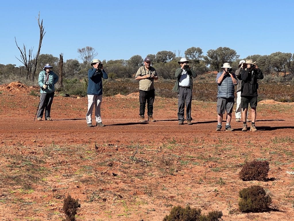

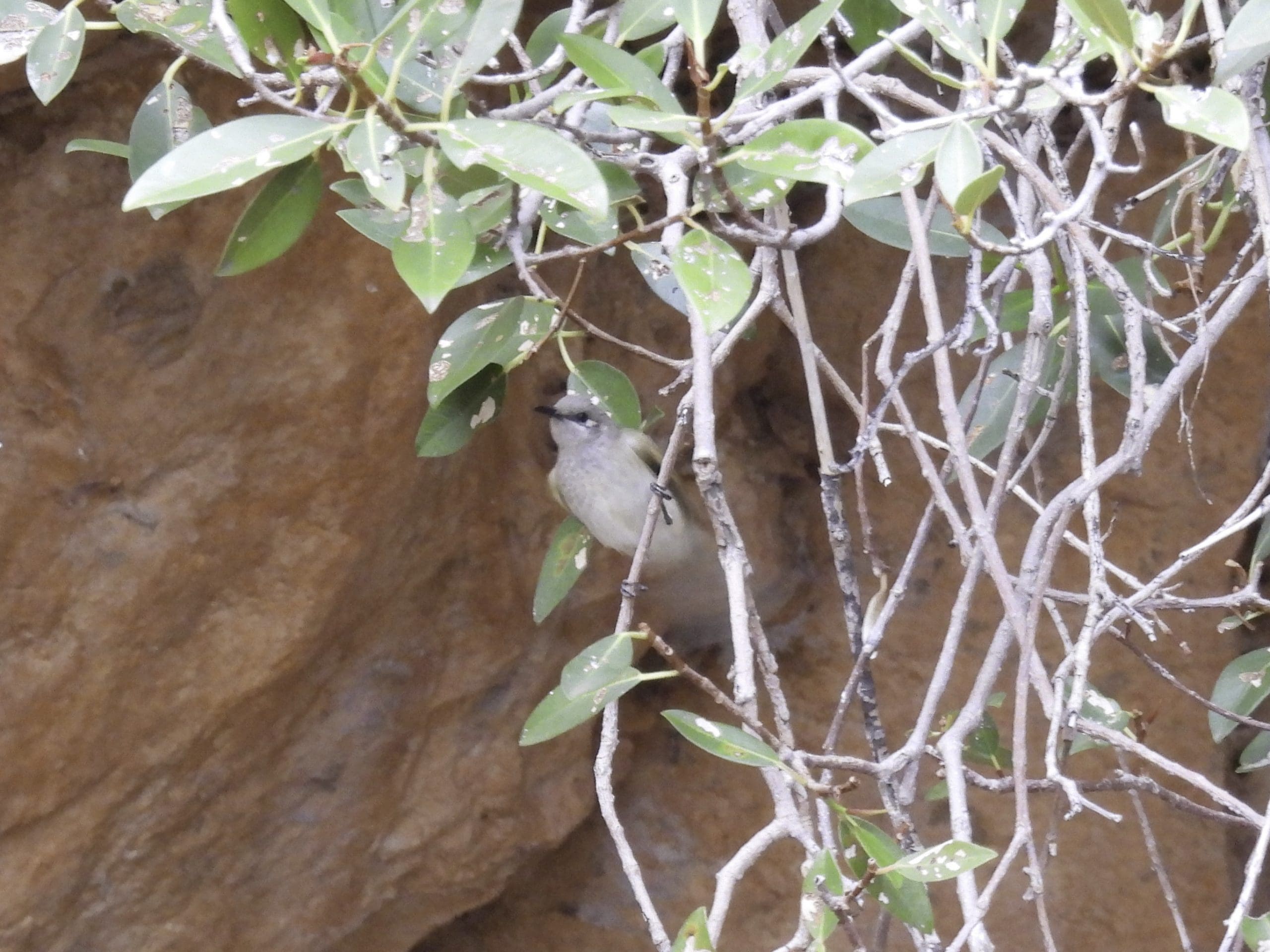
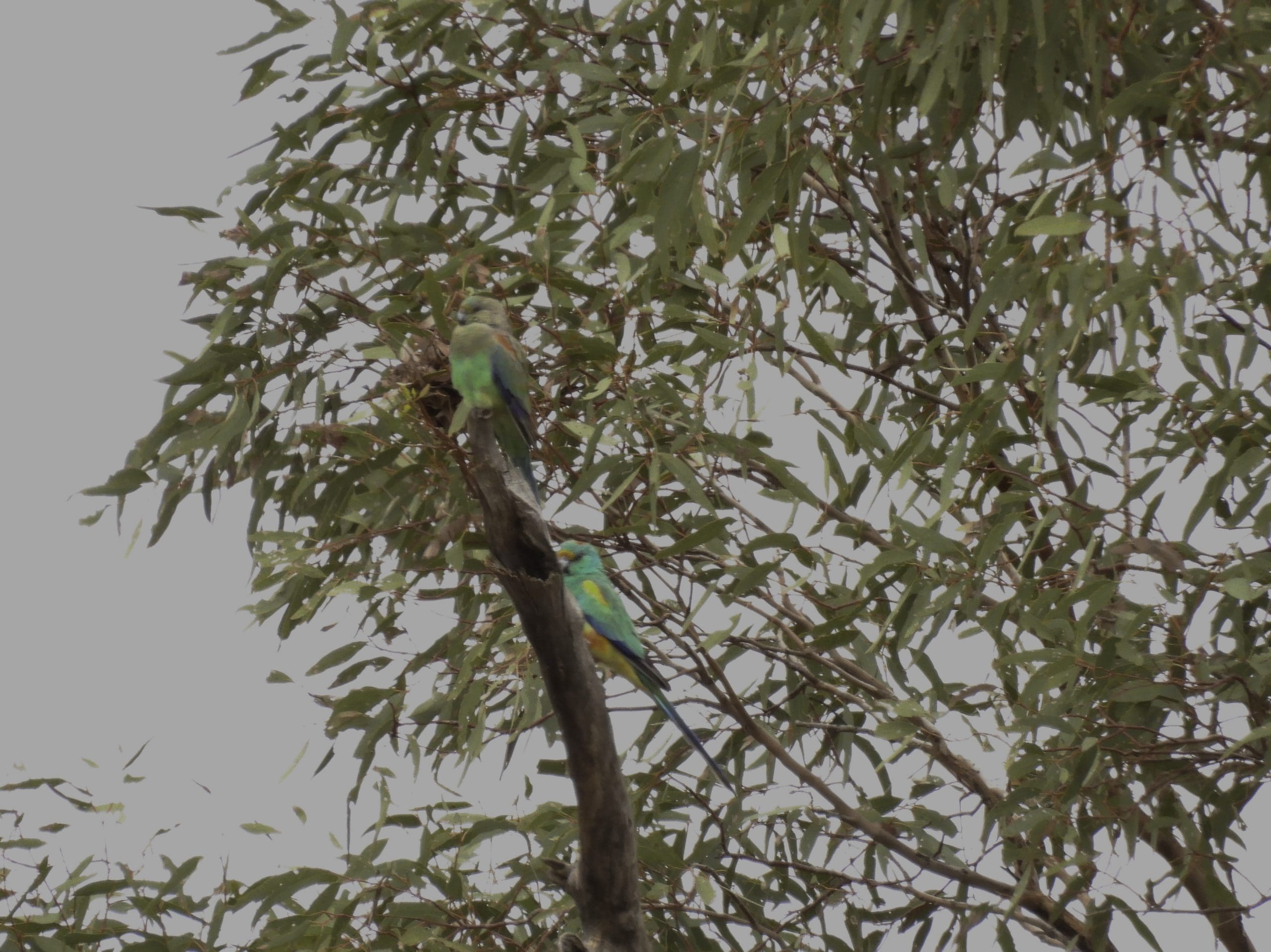
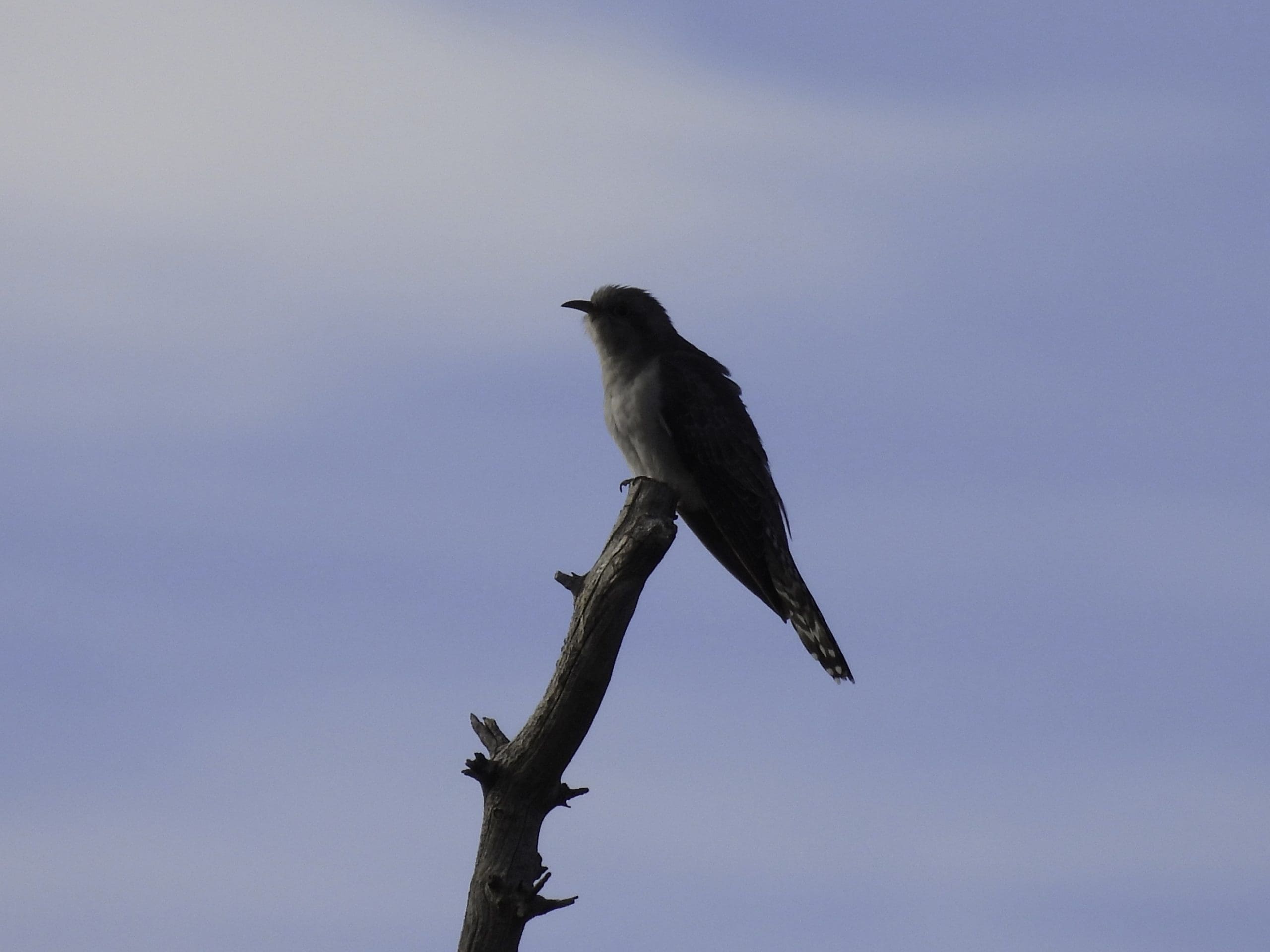
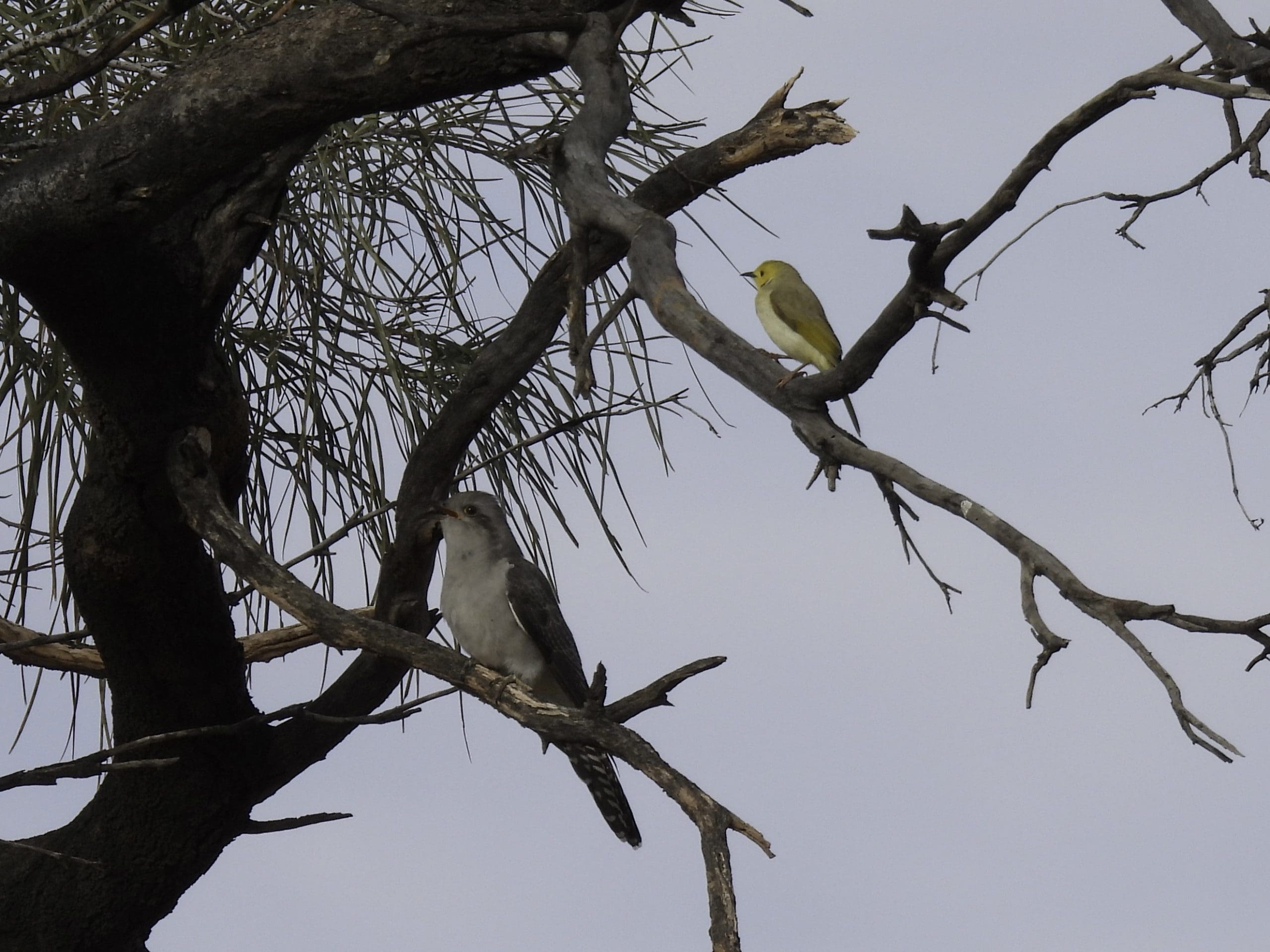
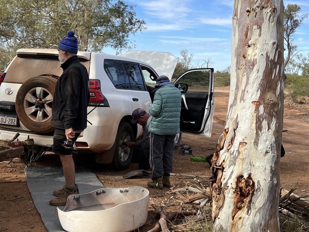
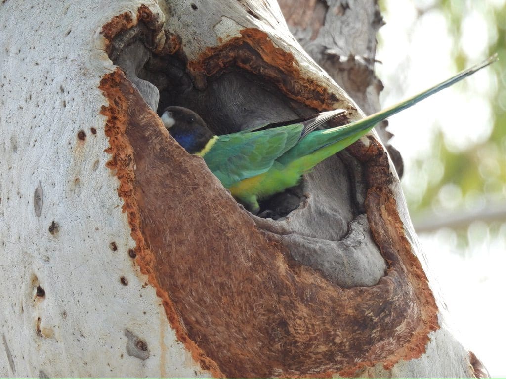
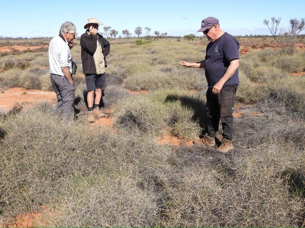
Sunday 25 June. Day 12. Quite cold overnight and in the morning. We will remain here for another night to give us all a much needed rest and do some birding. This morning after breakfast we had a longish birding walk – black-breasted buzzards, black-fronted dotteral, ring neck parrots, palid cuckoos. Red and Neil spent a while changing a flat tyre. The clip holding the cover over the spare almost defeated them. Quite a lot of horizontal lying slate interlayered with folded metamorphosed sandstone. Temperature remained cold because clouds obscured the sun – high cirrus clouds, so possibly rain within 24 hours. Flies arrived in very large numbers when the temperature reached about 12C. Fly nets. Australian ringnecks exploring nest hollows. Temperature rose to 15C. Not many birds in the afternoon bird walk. For most of us it was a quiet day of reading. For Red and Neil, it was a maintenance day and time to change the flat tyre – a more complicated process and taking much longer than they had anticipated.

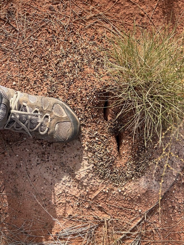
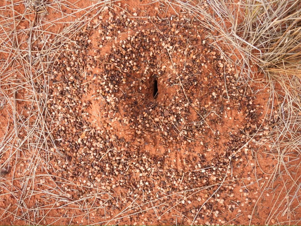
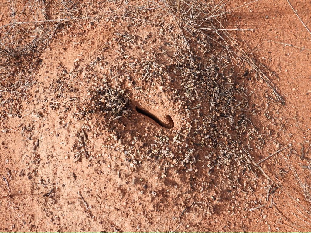
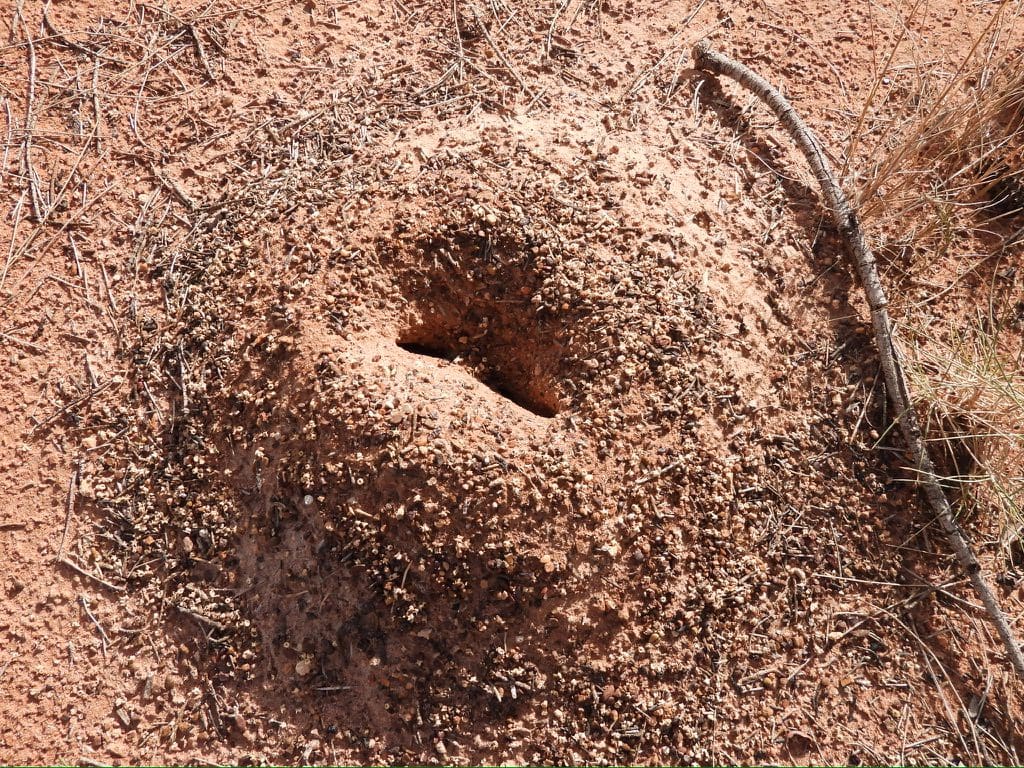
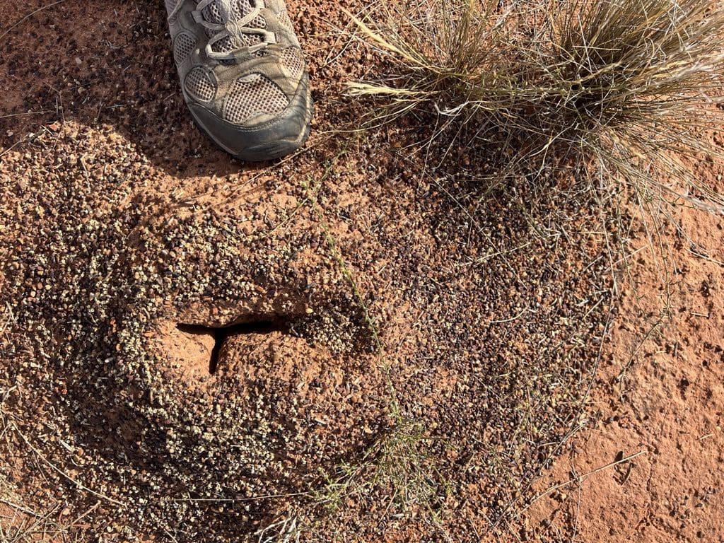
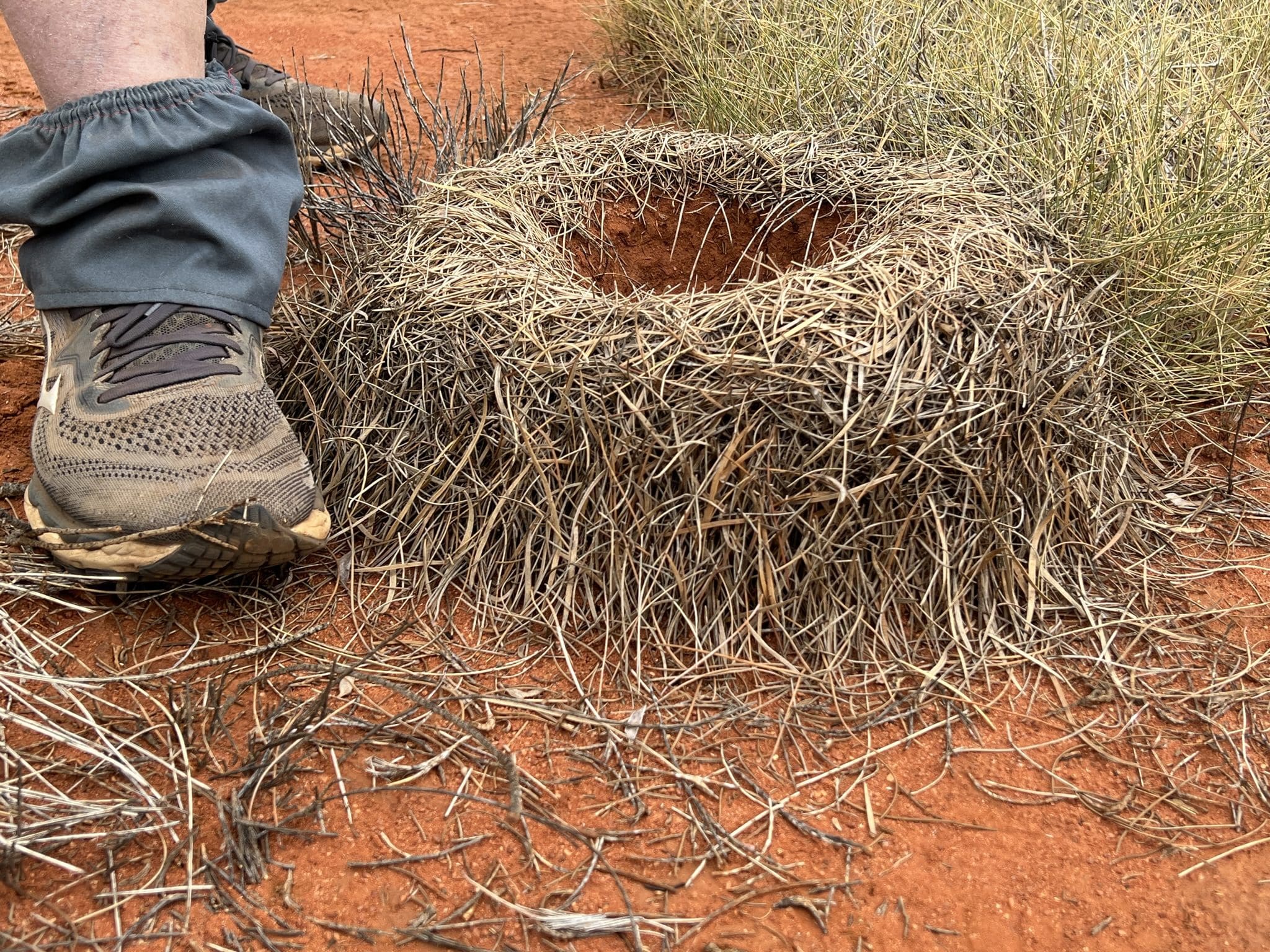
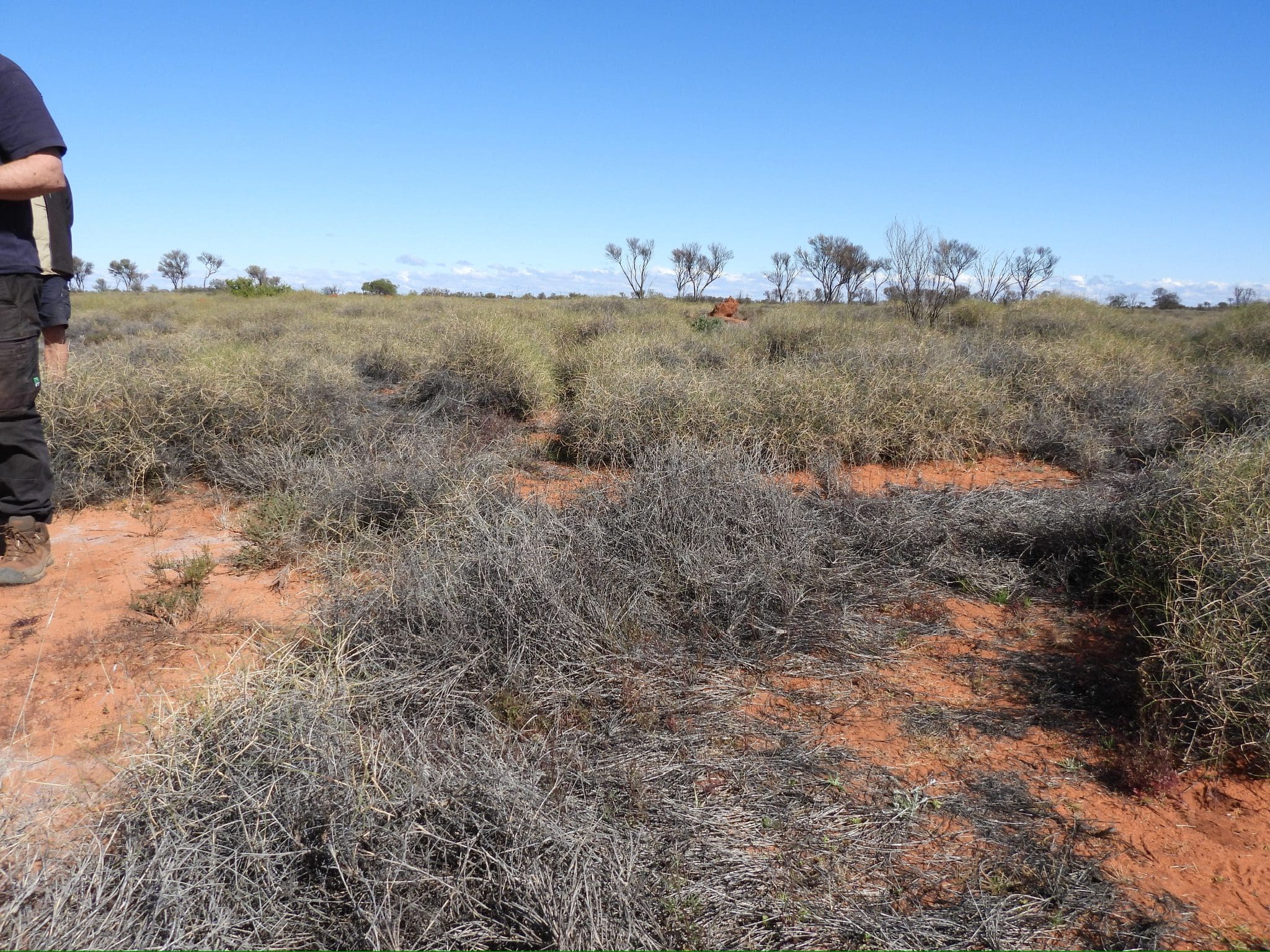
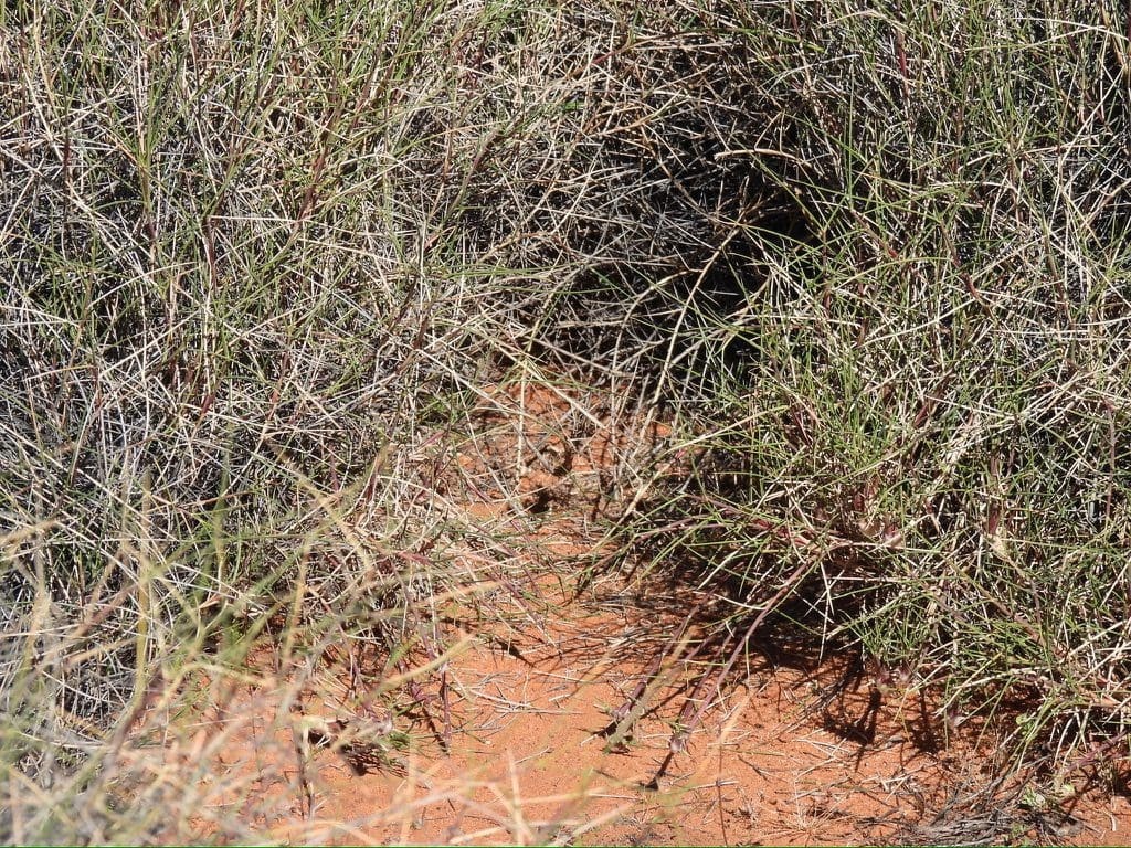
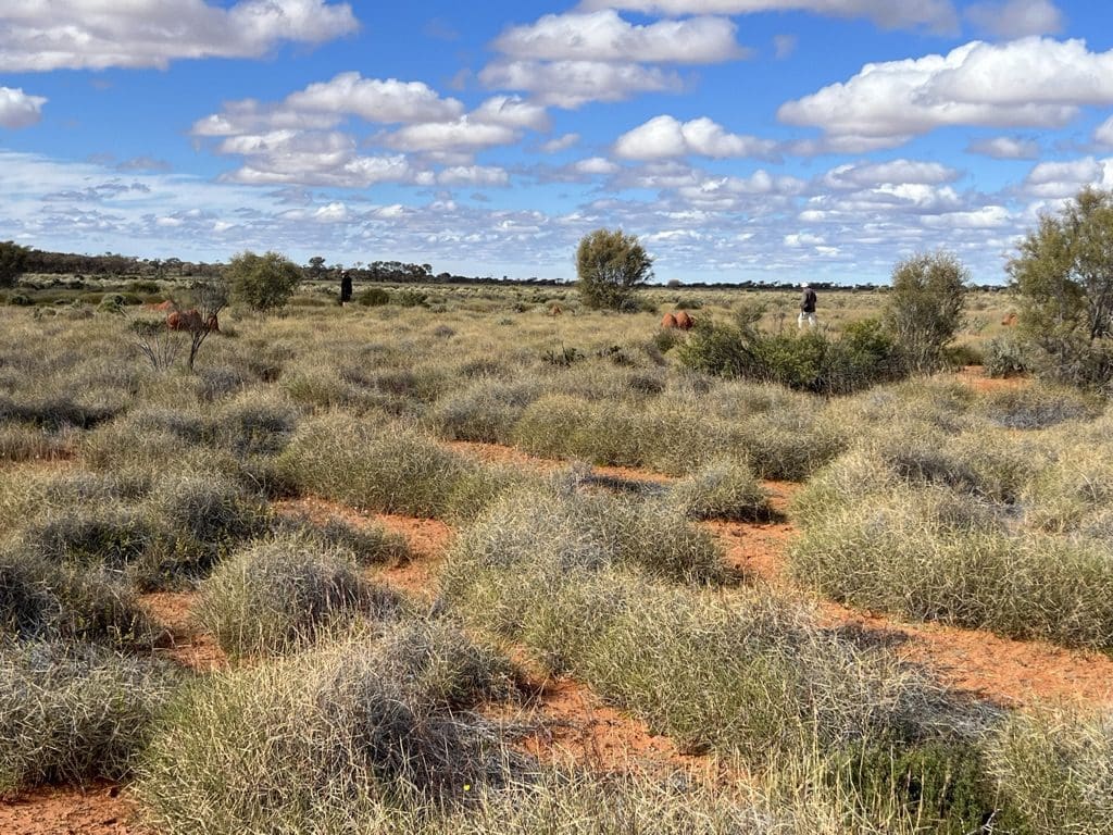
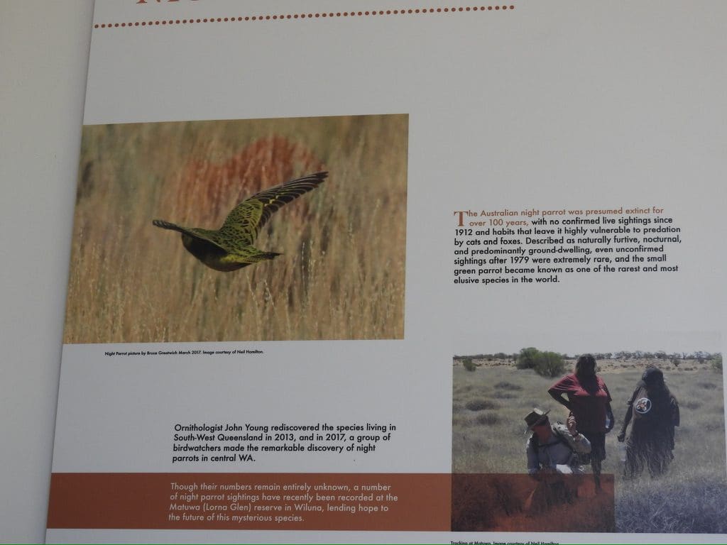
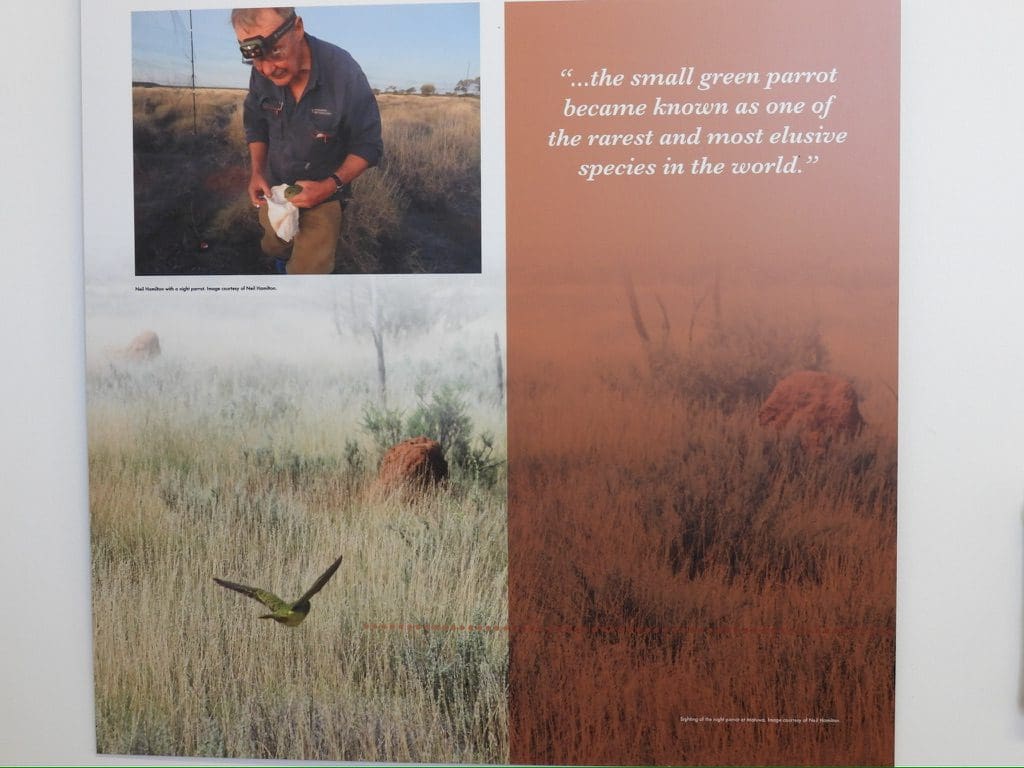
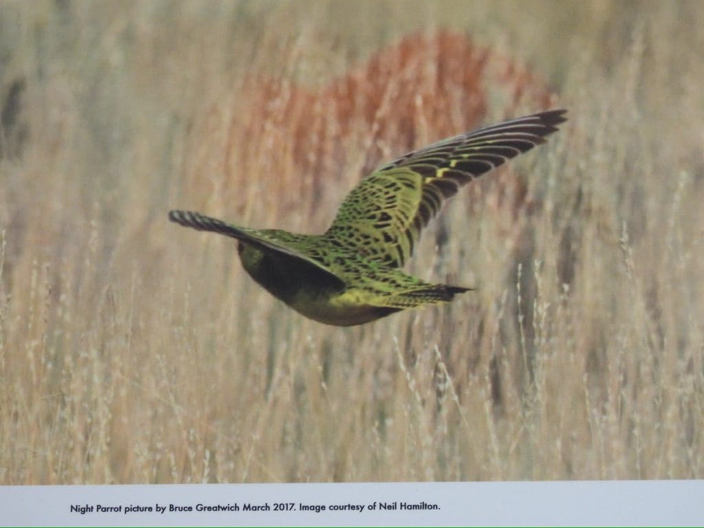
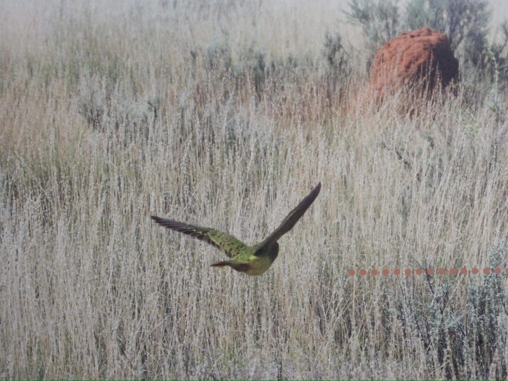
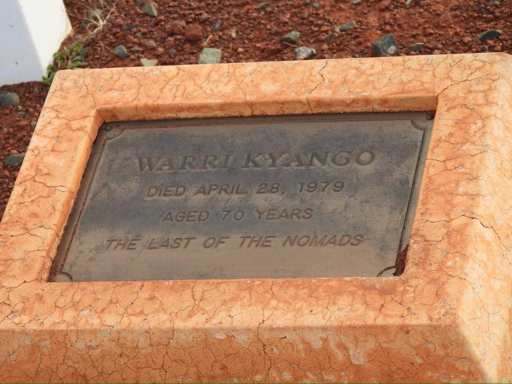
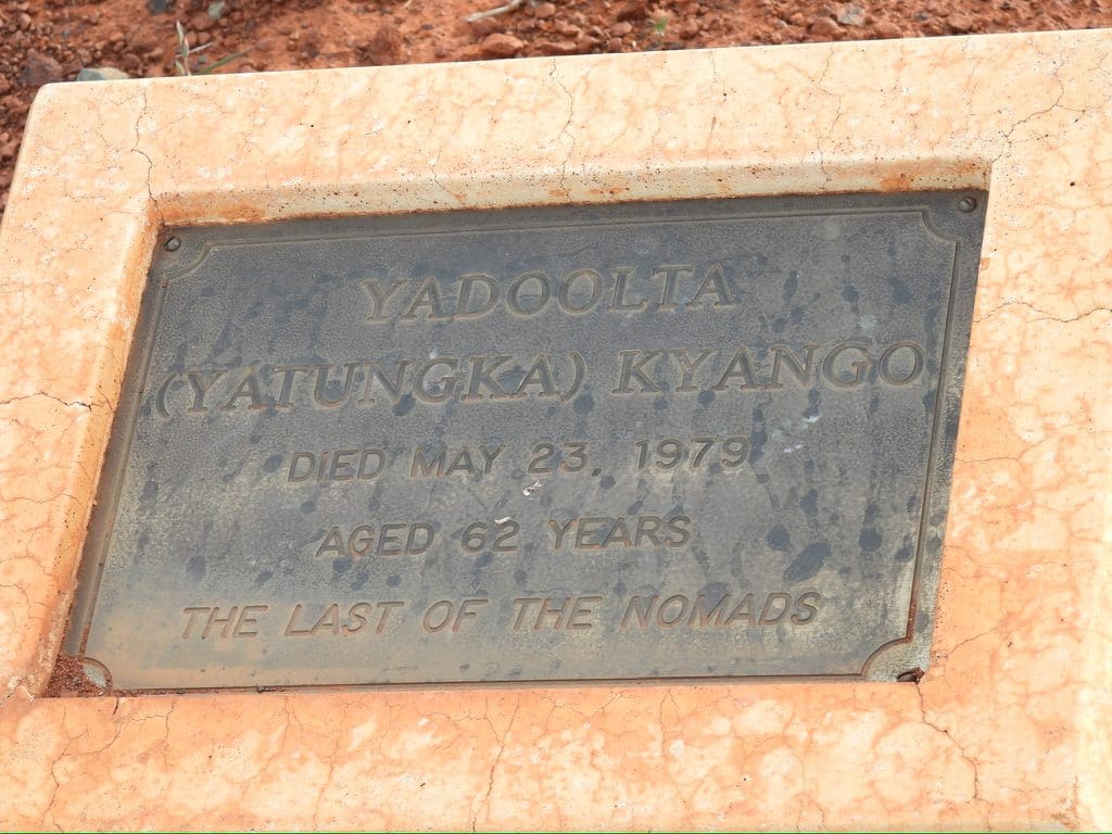
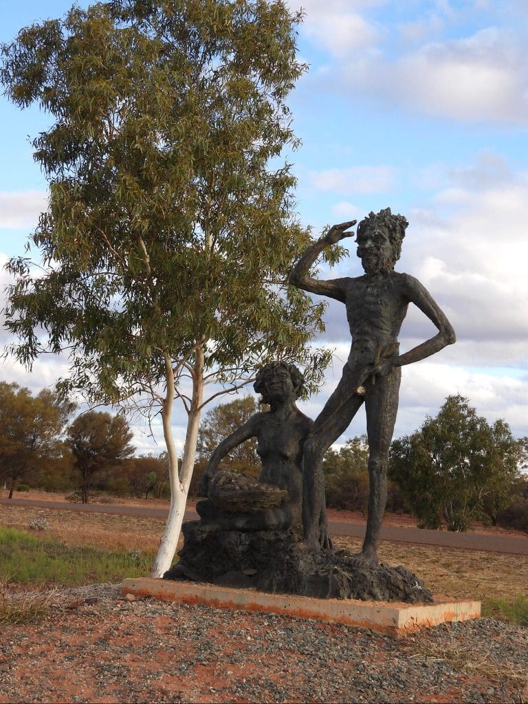
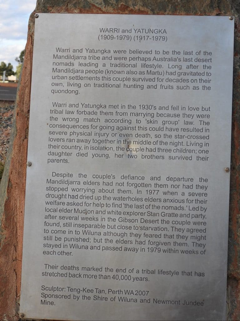
Monday 26 June. Day 13. Mildish morning. Got away fairly quickly. We will be good at this by the time we finish. A short 1km walk along the road while Red and Neil finished with the trailers. Today, we drive back along the Gunbarrel for 100km and then continue another 100km to Wiluna. Just before midday, we stopped at a site where Neil explained his research into critically endangered night parrots that live in burrows in the old Spinifex circles. (I had not seen this species of Spinifex before. It has ‘branches’ in its leaves.) These patches of Spinifex are small, isolated and vulnerable. They need to be protected from fire. The rings give a natural protection barrier from cats. At Wiluna, we stopped at the art gallery/museum and then to the cemetery to see the graves of the last two nomads (Warri and Yatungka). (See book ‘The Last of the Nomads’ about their lives and rescue.) Then to our campsite tucked in a small group of trees not far from the road.
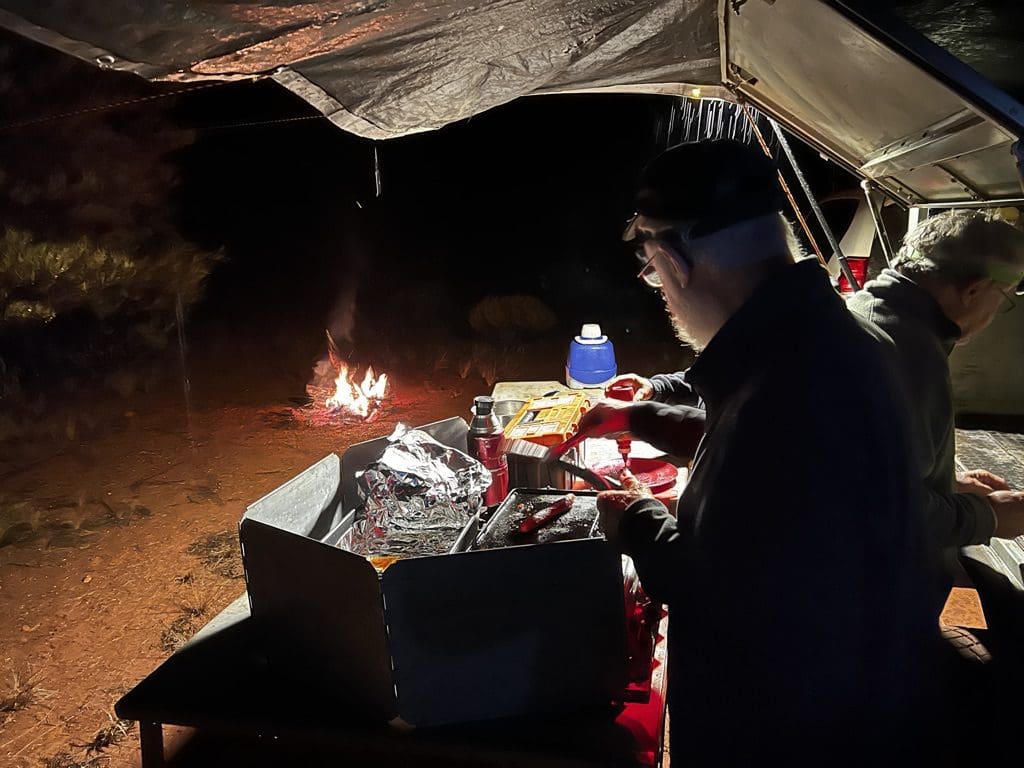
Red’s cooking is the highlight of the trip.
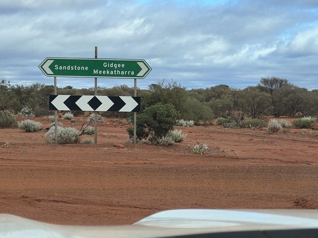
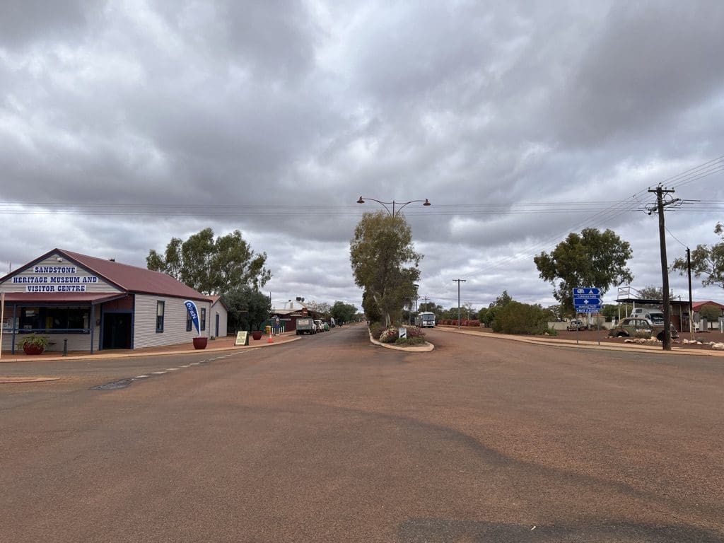
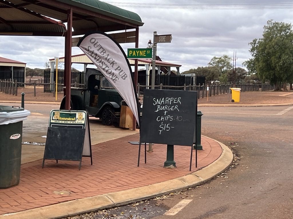
Tuesday 27 June. Day 14. Quite cold this morning with a slight breeze. Handling anything got the fingers nice and cold. Away at about 8:30. At about the time we got away a light sprinkle began. Just south of the campsite we turned onto a nice dirt road that we will follow to Sandstone. The breeze became a very cold wind which lasted all day. I was very reluctant to leave the vehicle. 8ºC less windchill. Stopped at the remans of Lake Mason station – terribly overworked land that will take a long time to recover. Arrived at Mount Magnet caravan park. Tents up for the last time. First hot shower since Alice Springs.
Central Part – Warakuna to Sandstone ~ 2,000 km
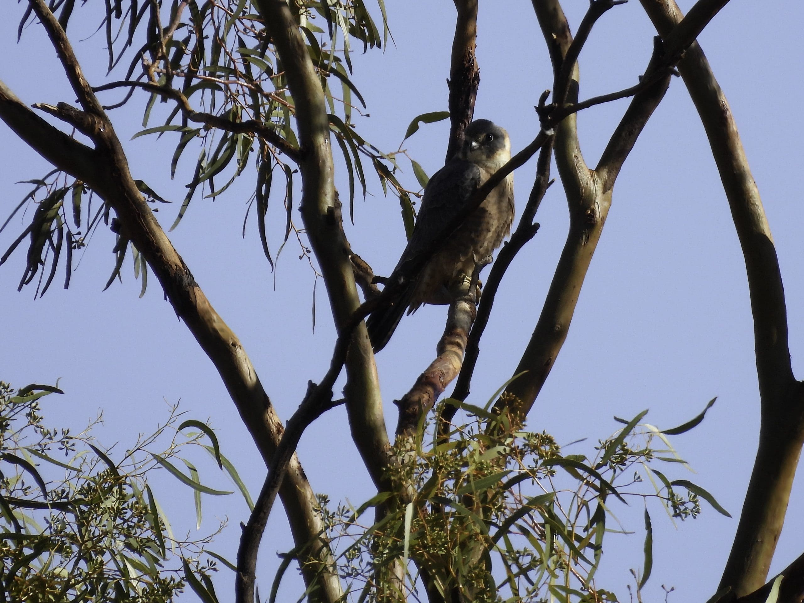
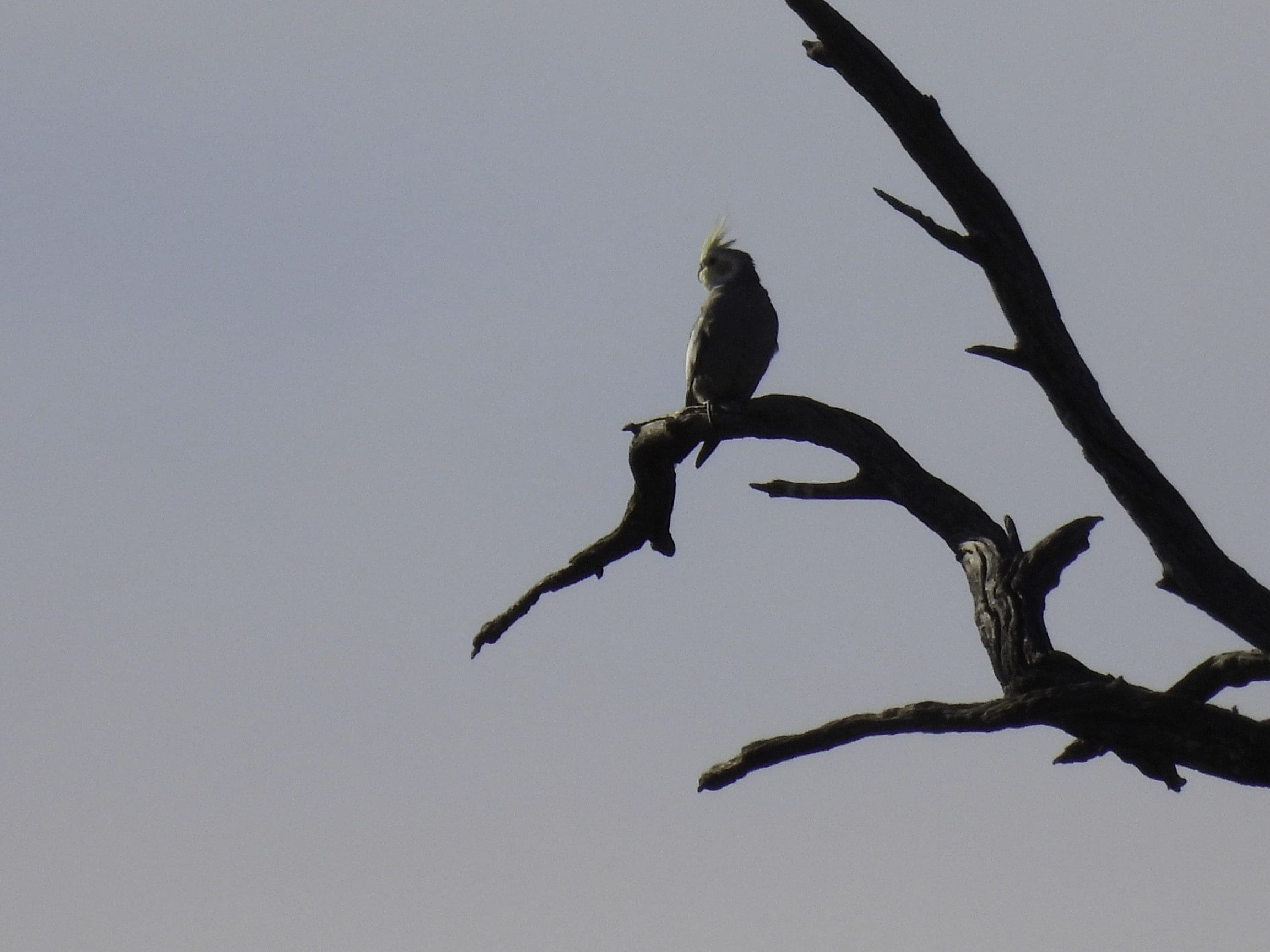
Wednesday 28 June. Day 15. Quite cold overnight. Frost. Tents down for the last time – still a bit wet. Got away at 8:30. Drive to Perth is 556km. A very busy road with many long and wide loads heading north for mines. Stopped at Paynes Find for morning tea. Australian hobby and then red-tailed black cockatoo. Lunch at nature reserve just north of Wubin. Stopped at New Norcia for a pit stop and farewells. It has been a very good trip with comradery and helping each other.
A very long trip. 3,700 km – including the 600km detour to avoid boggy roads. 100 species of birds seen. I took about 1,000 photos mostly of birds. Some might come out.
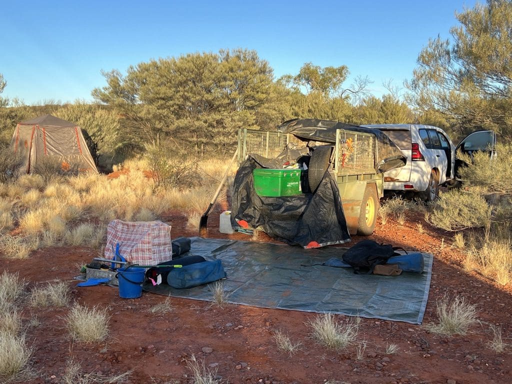
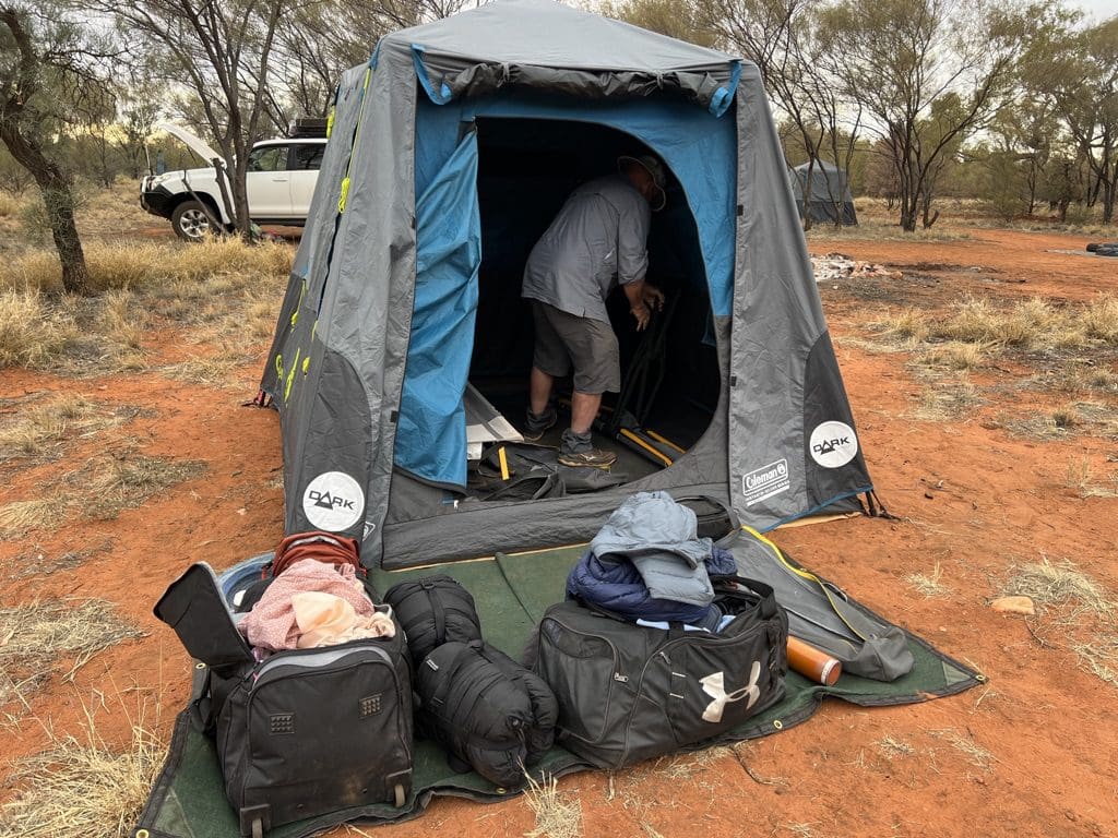
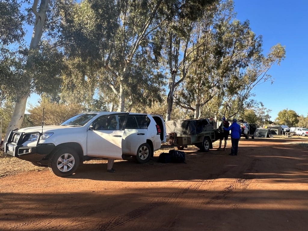
Getting tents up and down with stretchers; loading and unloading the trailer; setting up chairs and putting them away; and for Red, setting up and dismantling the kitchen every day. All big heavy and demanding jobs.
Red and Neil certainly put a huge effort into getting us to things that we should and did enjoy seeing. Both worked very long hours. Red’s cooking in camping conditions and several times with a camp oven is superb. I’ll certainly have to lose weight now.
Thursday 29 June. In Perth at the European Hotel. A very quiet day. Only left the hotel room for lunch and a walk around the Perth malls that are close by. Perth is a very interesting city. Many Asian faces and numerous languages. Back to the Thai place for dinner.
Friday 30 June. Departure. It will be a long day. Coffee from the Italian cafe over the road. Uber arrived on time at 8:30 for an easy ride to the airport. Long lines at bag drop. None at security. Perth has moved away from metal detectors and is much faster. Boarded early. A very full flight. The flight from Perth to Sydney is shorter in length than the distance driven on the second trip. The distance driven on that trip was a wee bit longer than the distance ridden by the peloton on the Tour de France.