Kimberley Trip 2017 – week 10
We are now on our way back. The journey will take about 4 weeks. For the first week, we will be retracing our steps back through Kununurra, Katherine down to almost Tennant Creek where we turn off to Mt Isa. All of it is a bloody long way. You are probably going to get photos of birds.

Thursday 29 June 2017. Day 64. A day of washing clothes, restocking food, checking email, sorting through photos and getting the blogs up to date. No internet for the last 10-16 days has caused a bit of a backlog. Collected the painting/print that I had bought in early June from Sobrane here in Broome.
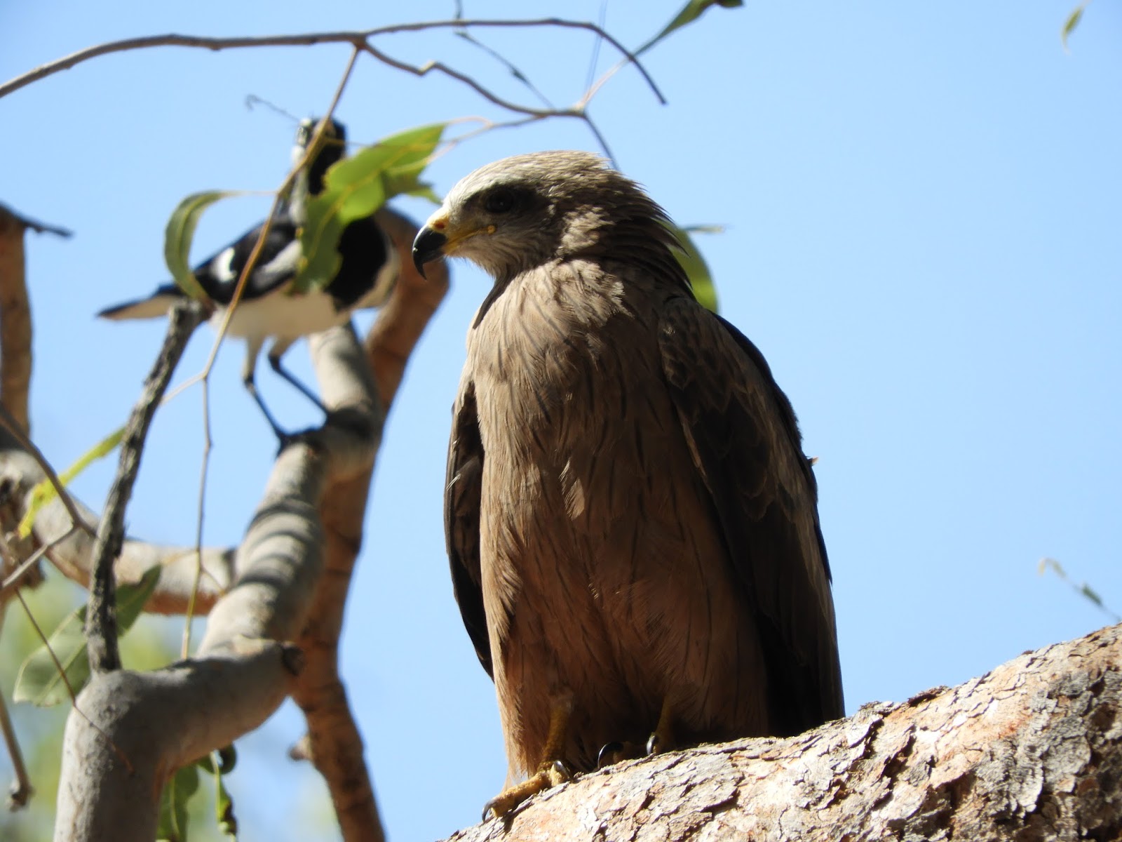 |
| Black kite with his peewee companion |
Friday 30 June 2017. Day 65. Drove 400 km to Fitzroy Crossing. Bit of a drag to be doing this long boring unwinding road for the third time. The highlight happened when we were sitting having lunch (a cold roast chook left over from yesterday). A black kite wanted some of that chook and swooped down and took a bit from the table (its wings brushed my hat and Helen’s hair) and then a few more bits that I threw to it. Quite partial to roast chook it would seem. I do like black kites.
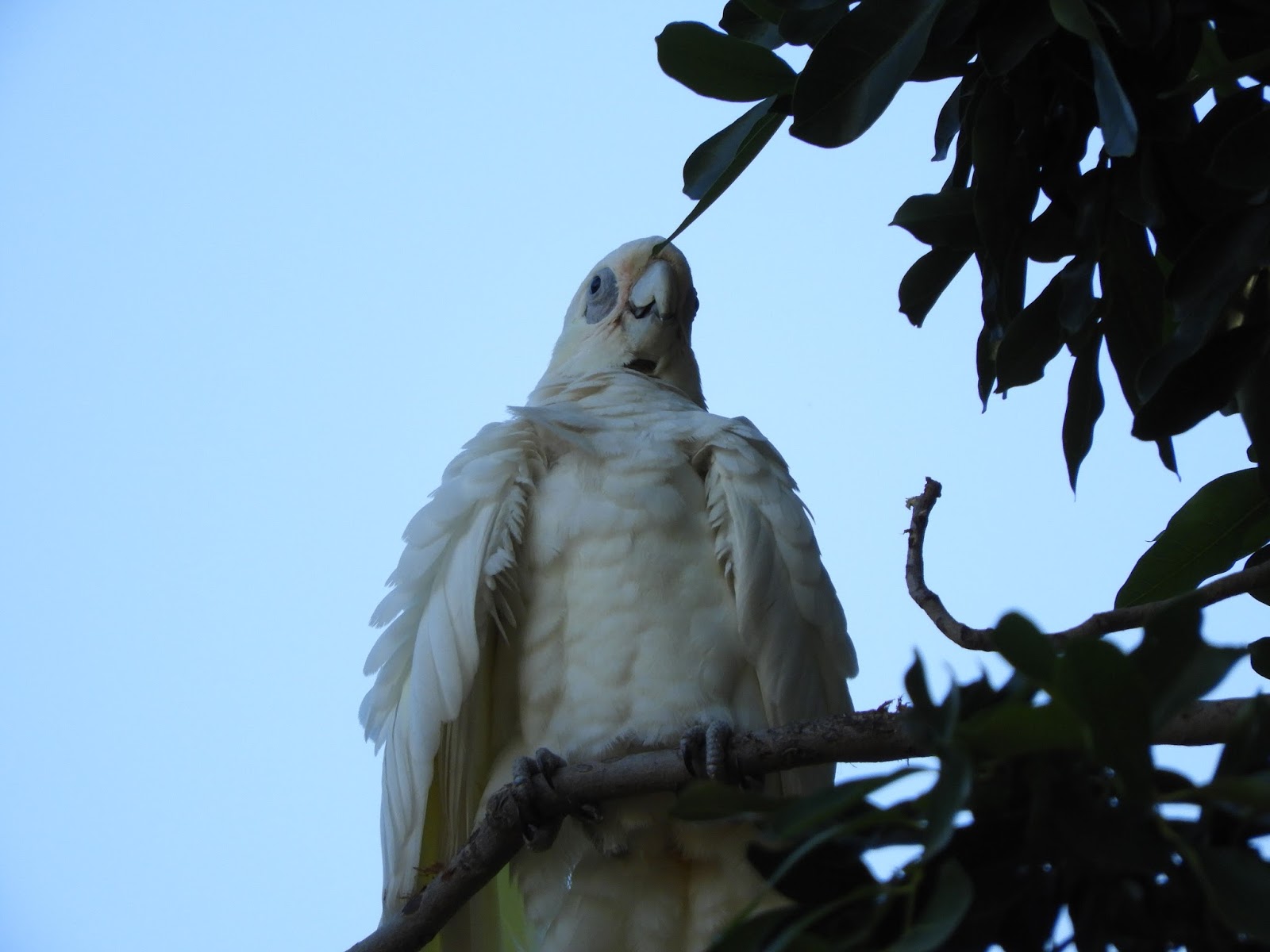 |
| Little corella |
Saturday 1 July 2017. Day 66. Drove 460km to Warmun. Just as we were leaving Fitzroy Crossing we saw a pair of Brolgas dancing. An excellent meat pie for morning tea at Halls Creek – which is a grotty little town. Another long drive, although the section from Halls Creek north is at least a bit interesting with a few mountains and rocks. It is worth remembering that the land that we drove through today (alongside the Halls Creek Fault) would once have had mountains not unlike the Himalayas. All gone now.
 |
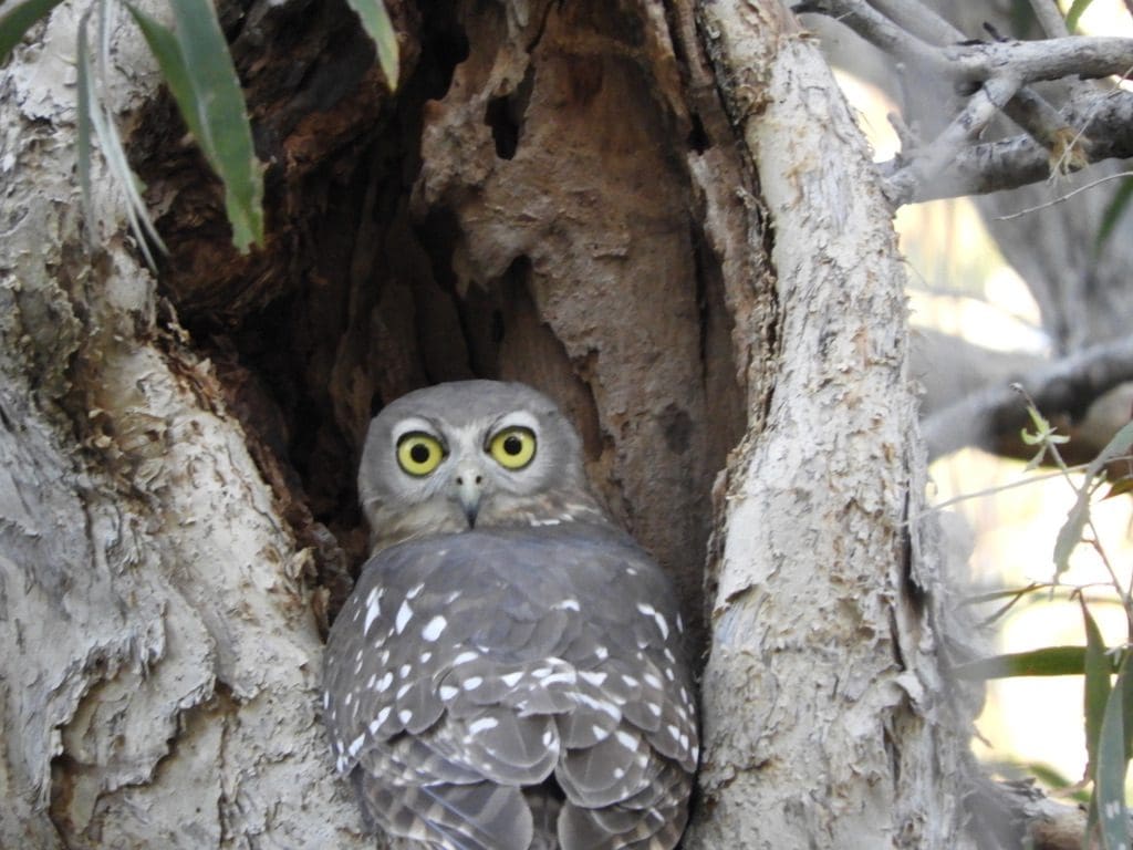
| Barking Owl |
Sunday 2 July 2017. Day 67. Drove 400km to Timber Creek in NT. The section of the road from Warmun to the NT border is interesting – driving through an ancient (disappeared) Himalaya range. Good rocks. Where did all that sediment go when it eroded away? Very soon after the NT border, we crossed into the Victoria River basin. Boring again. We saw what will be the our last boab trees. The story is that boabs less than 1,000 years old hold their branches up. After 1,000 years, they let their branches droop. Quite a few old, droopy, tired ones.
 |
| White-browed robin |
Timber Creek is an excellent campsite – very bird rich. Possibly the first place where I found 3 new birds (with photos: barking owl, white-browed robin, shining flycatcher). The campsite is separated from Timber Creek itself by a nice piece of lawn. Timber Creek has thickish tall pandanus, melaleuca. The powered sites are drive-thru one behind the other. We are the only van in our line and we intend to get away early. Today, the eggs had an excellent attempt at their national sport for which they are truly enthusiastic – jumping. Although they are very enthusiastic jumpers, unfortunately they get so excited about the jumping that they forget to plan the landing and tend to make a mess of it.
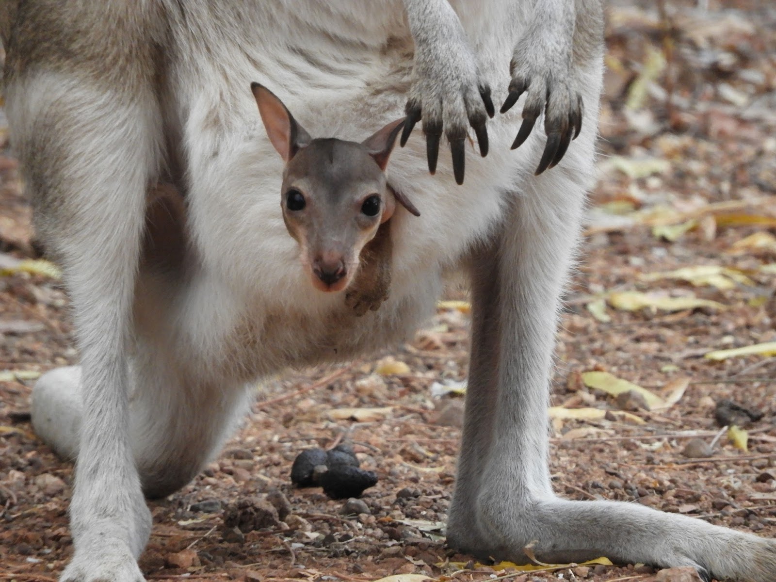
Monday 3 July 2017. Day 68. Drove 400km to Mataranka. We set the alarm for 5:30am, which turned out to be just a bit early (still very dark). Got away at 7:10am. Another long drive to Katherine and Mataranka. At Mataranka, the campground is full – as is the hot springs pool. We have now arrived in the land of Australian flags and 2 dozen stubby minimum per person per day. While we were sitting reading, just before dusk, our neighbour (who has come here for 25 years and stays several weeks at a time) fed a bucket of birdseed and 2 kg of rice to the pretty-faced wallabies. 15 wallabies lined up.

Wednesday 5 July 2017. Day 70. Drove 520km to ThreeWays (just north of Tennant Creek and at the junction with the Barkly Highway which we take tomorrow). We were planning to stay at Banka Banka 75 km further back, but it had no power and we are still struggling with the heat – especially for sleeping. Overnight, it stays in the twenties. We are back in the land of 130km speed limits and the worst roads and drivers in Australia. Drivers who come around the corner on the wrong side of the road at you with their vehicle tottering to fall over. Drivers doing well over 200km/h. A very dangerous place. Quite a few ‘bowser rage’ incidents along the way with blokes roaring at each other at fuel pumps. Helen loved it – not. The ThreeWays has an interesting looking pub attached to the servo/roadhouse. An extensive portrait gallery of trucker regulars. No internet. Very good water.