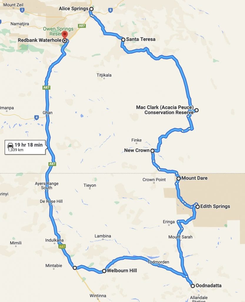
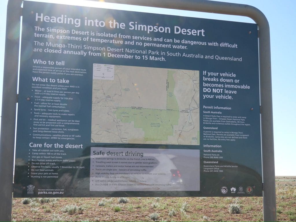
Coates 12 Day Centre Trip Alice to Alice May-June 2023
Prep. We began our planning for these trips immediately after our Karlamilyi Trip last year. As soon as they became available this year, we booked, planned and booked flights, accommodation and car. We planned to fly to Alice via Melbourne the day before the first tour, stay in and around Alice between Tours and fly back from Perth to Wagga via Sydney at the end. We tried to keep up a fitness regime to be somewhat fit enough to go. A week before the first trip, the weather forecast for Wagga was for fog. Not good for early morning flights. Panic. For peace of mind, we switched to a train to Melbourne the day before the flight to Alice from Melbourne.
Monday 22 May Woke to a heavy fog. Caught the train to Melbourne (first class) this was a very nice trip. Much better than the rocking, bumpy, slow trip to Sydney. Stayed at the Great Southern Hotel (very good and just 300m from the station).
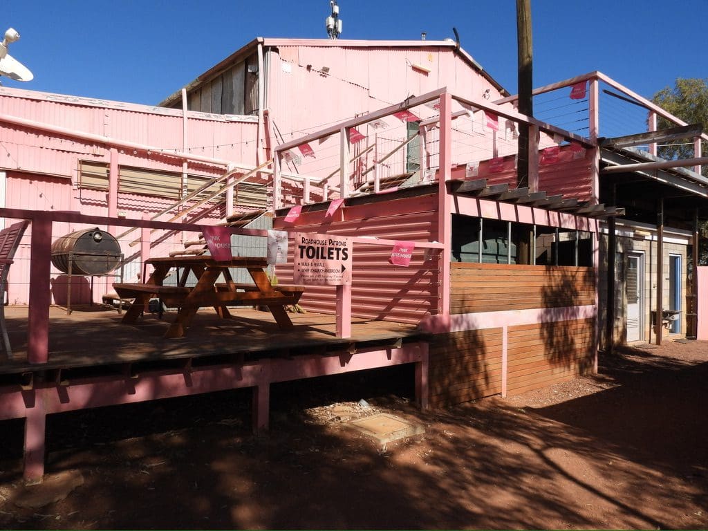
Tuesday, 23 May Up early. Uber to the airport – easy. Breakfast at the airport. Waited around for flight to Alice. Flight packed. Bus to Elkira Hotel – very basic. Very late lunch at Asian Noodle House. Bought salad diner in Woolies on the way back. Afternoon checking stuff, charging stuff.
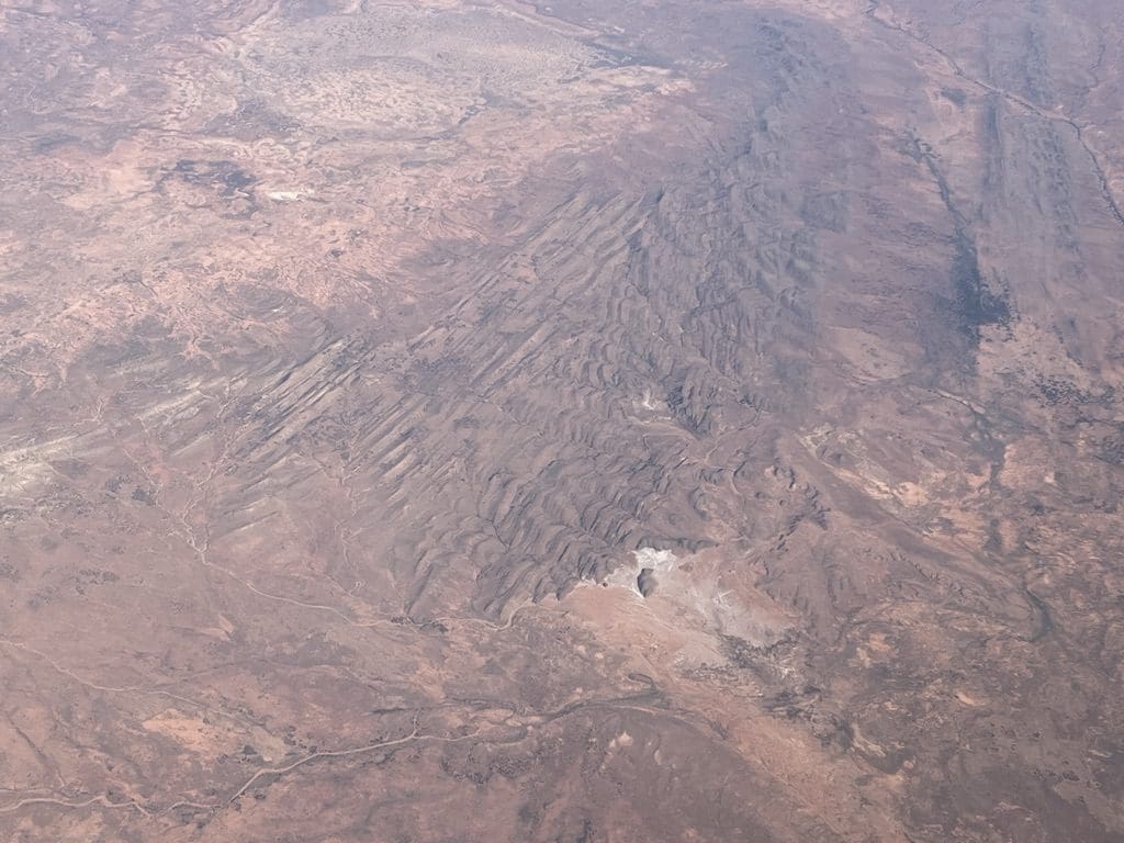
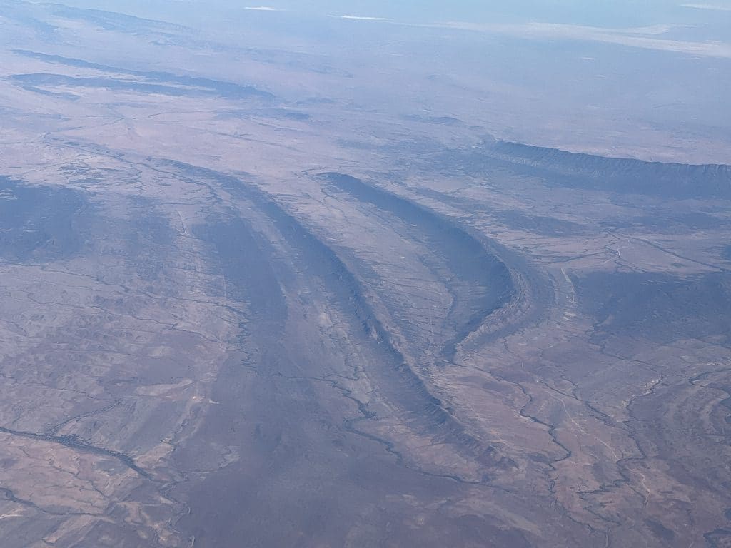
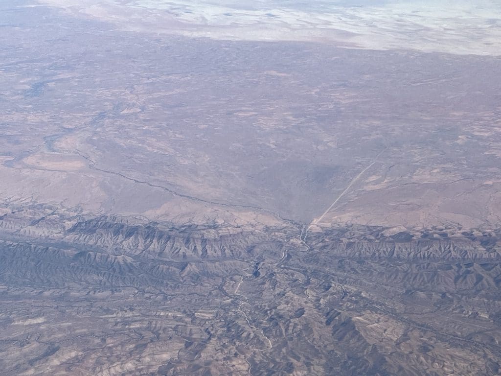
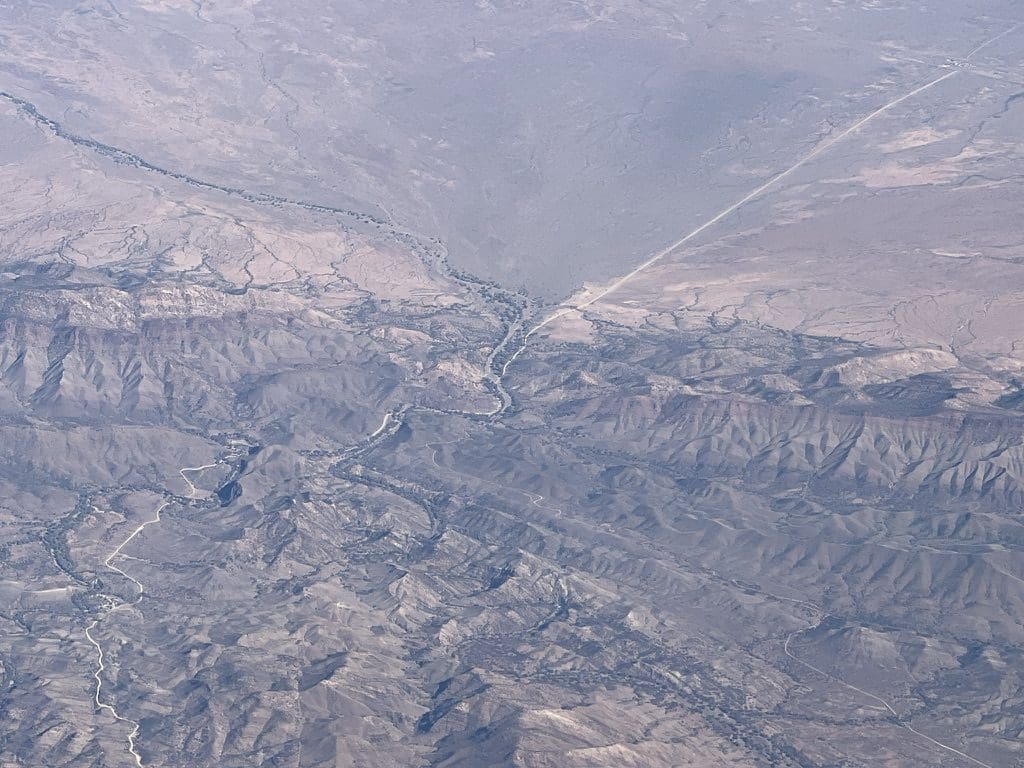
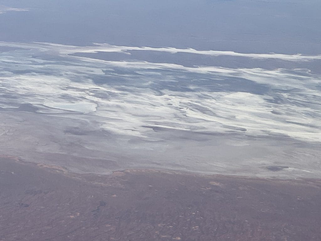
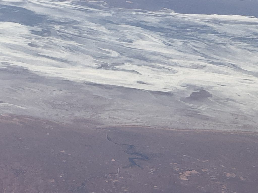
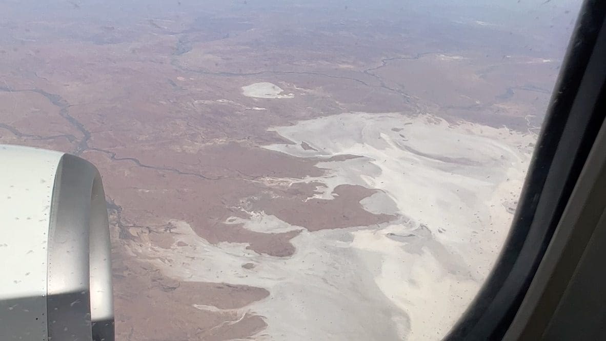
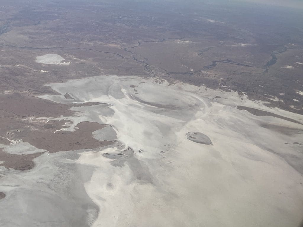
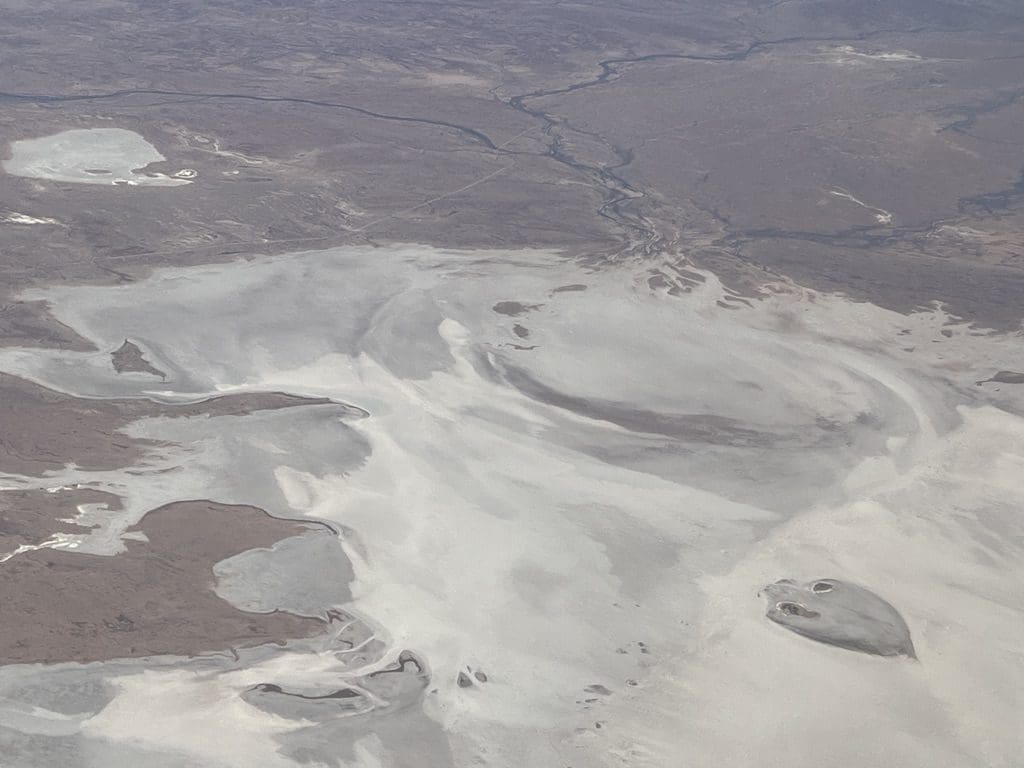
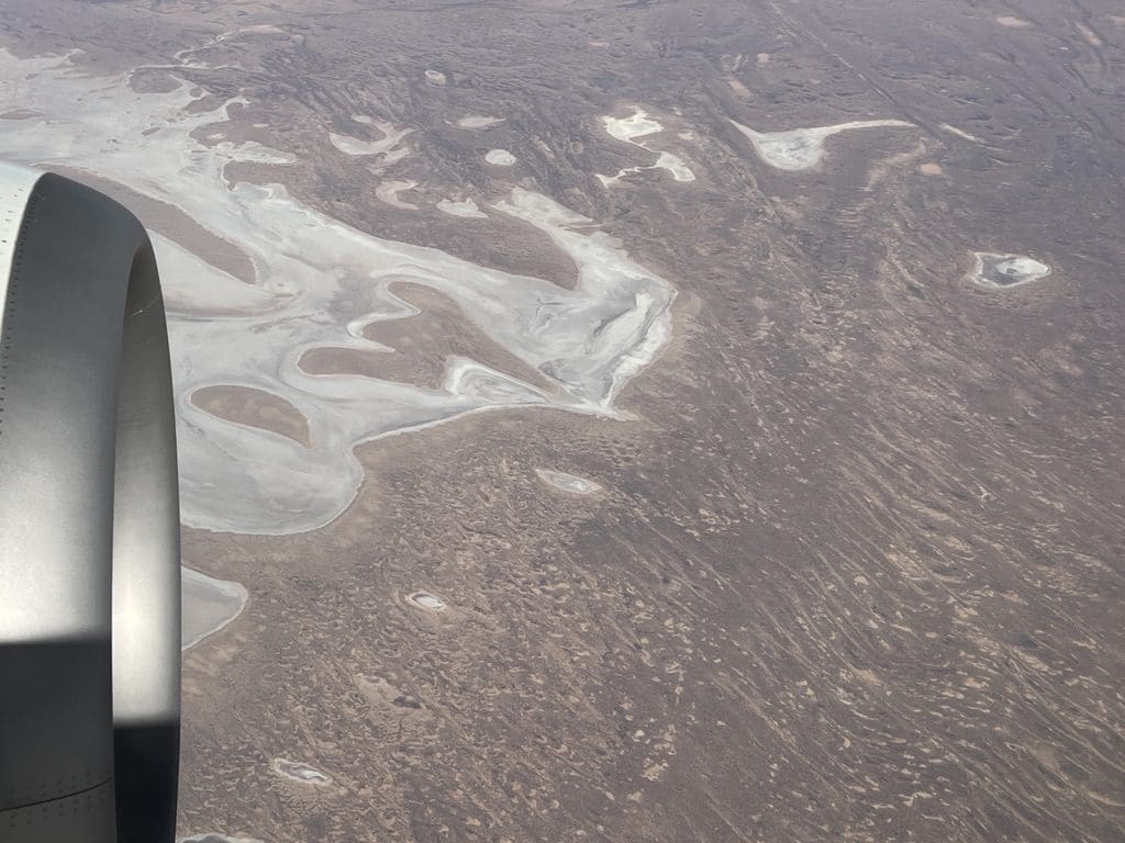
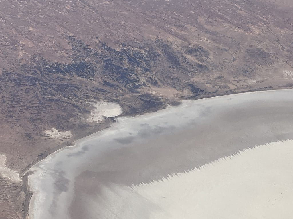
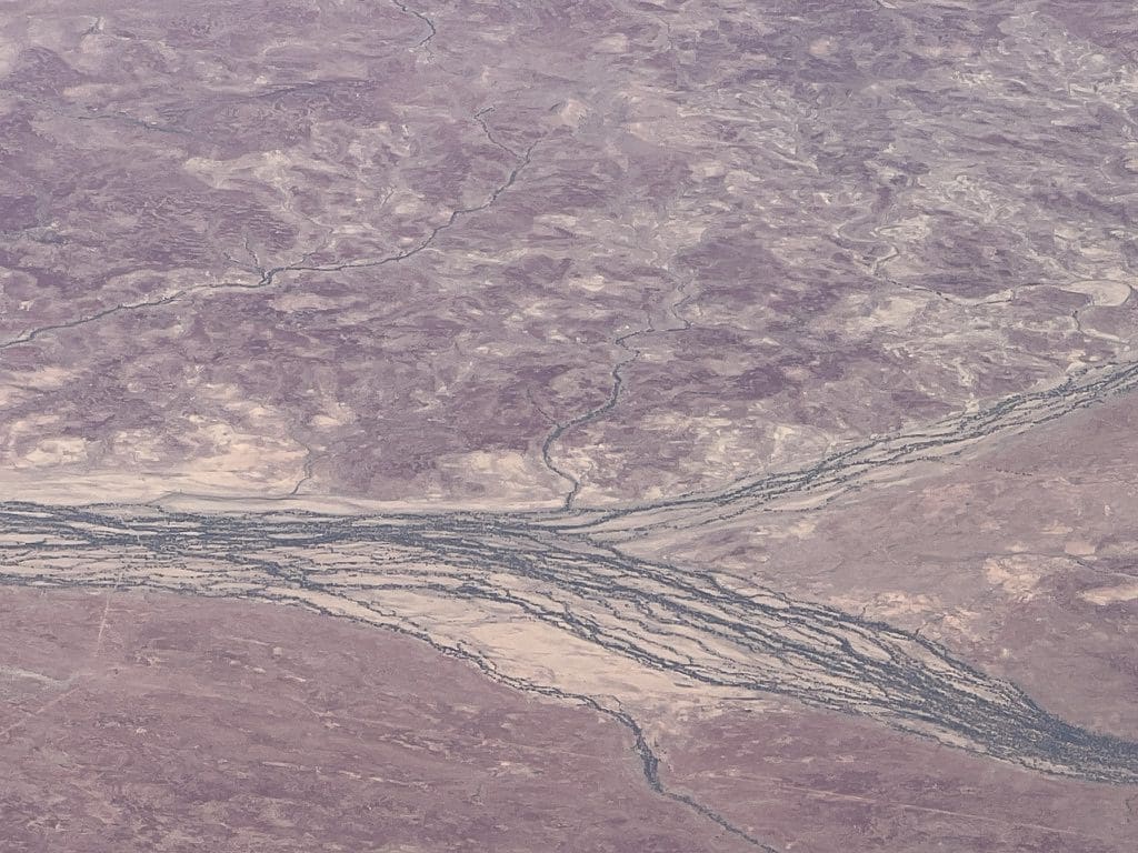
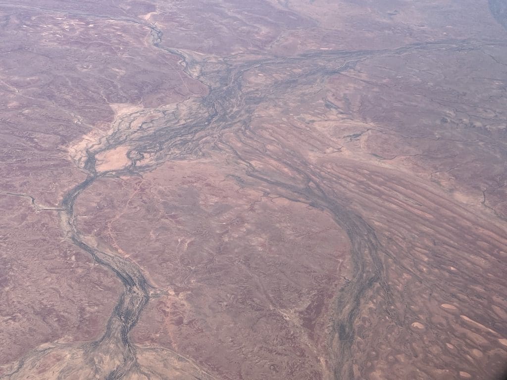
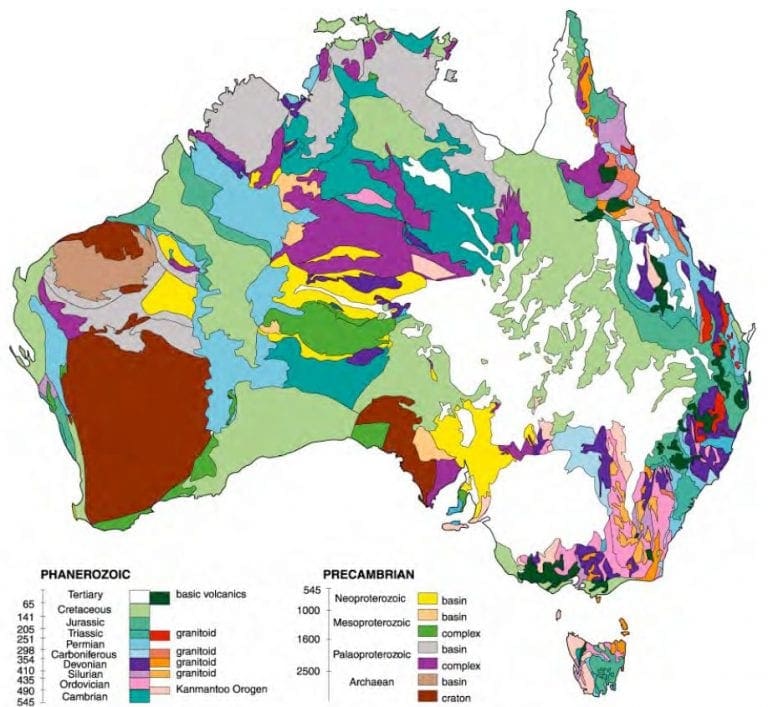
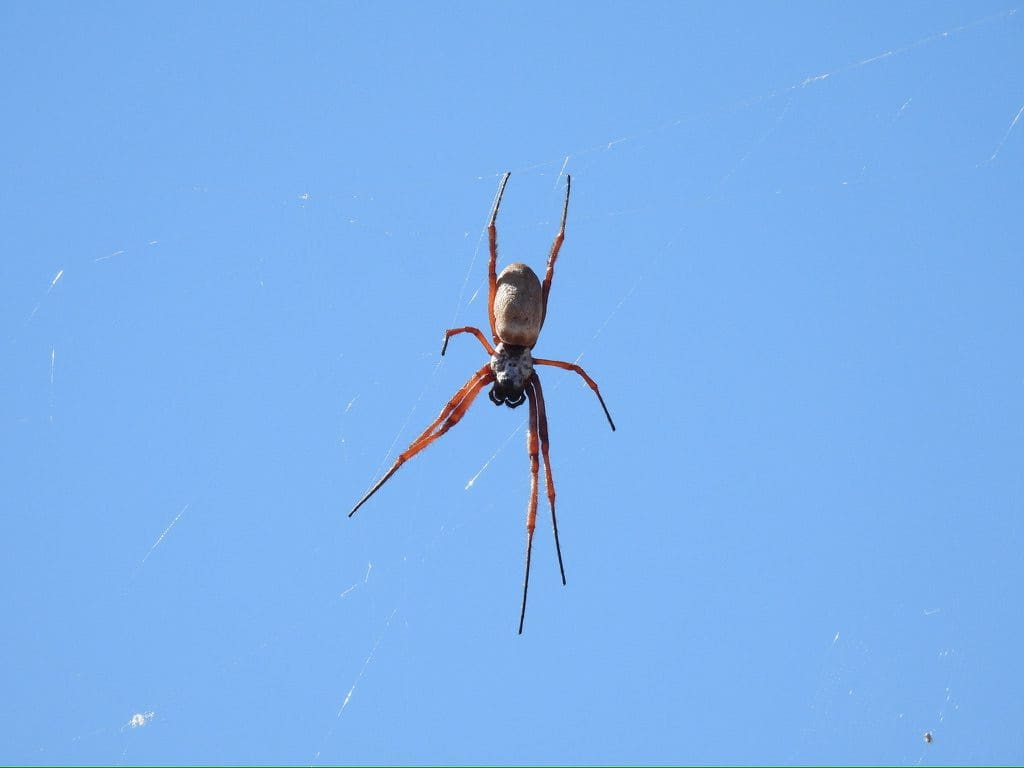
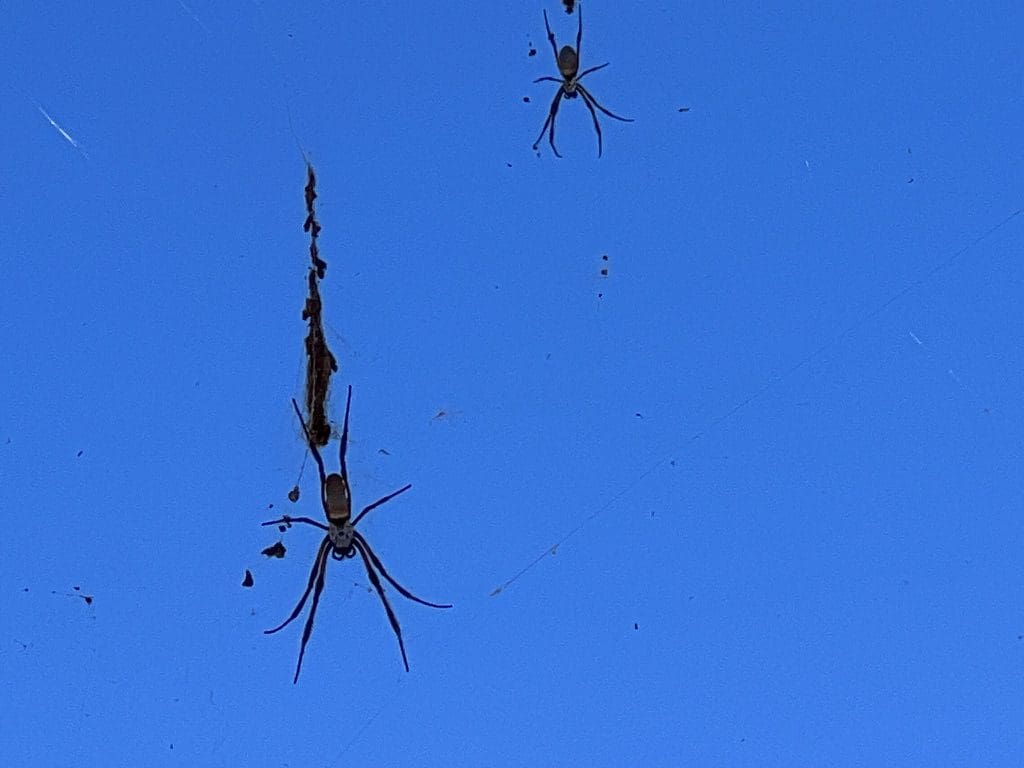
Collection of photos from aircraft Melbourne to Alice Springs
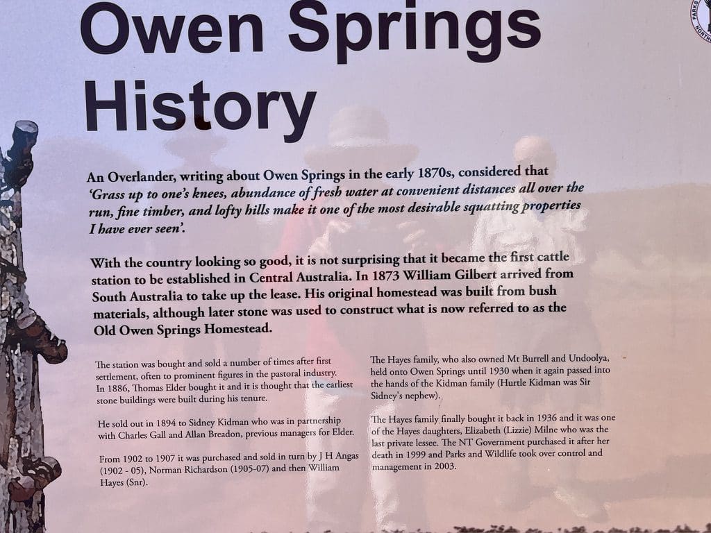
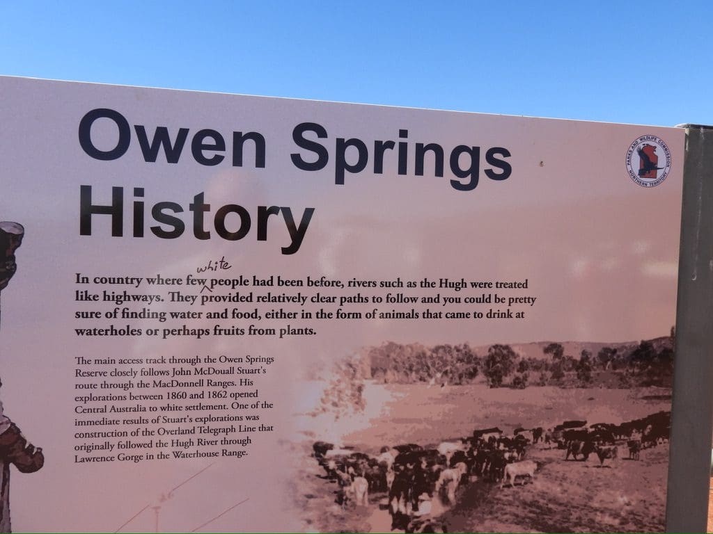
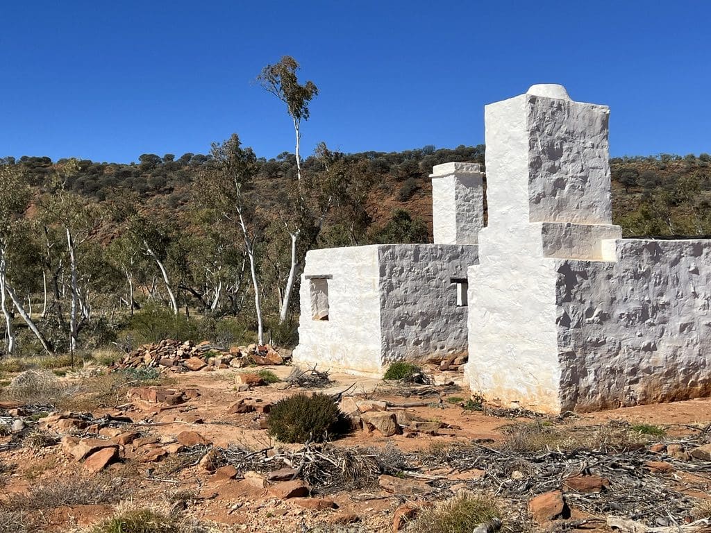
Coates Centre Tour – Eastern Half (Alice to Owen Springs) Days 1 – 6
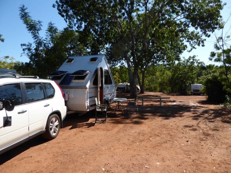
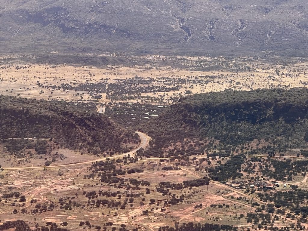
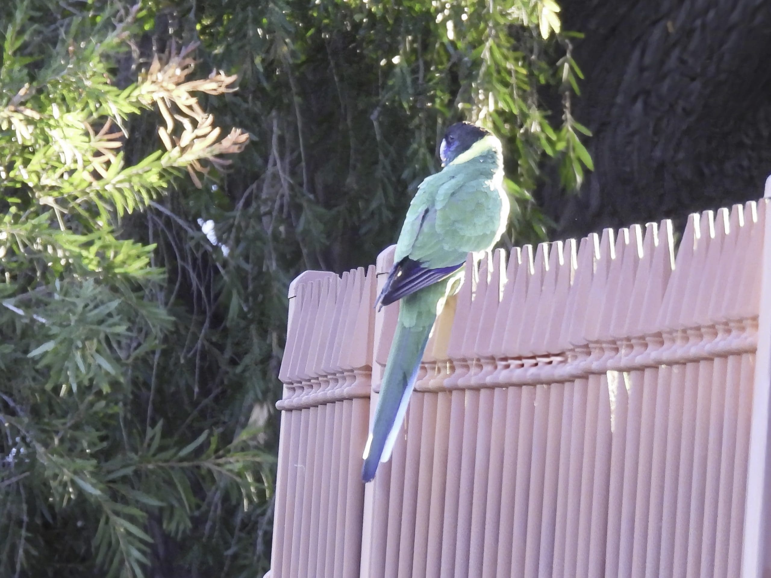
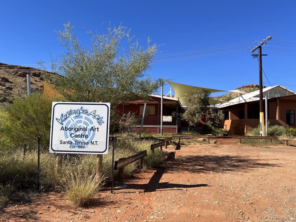
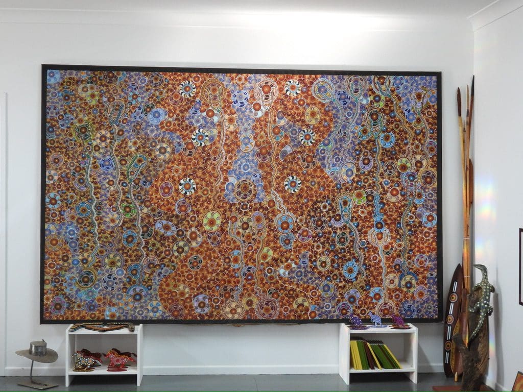
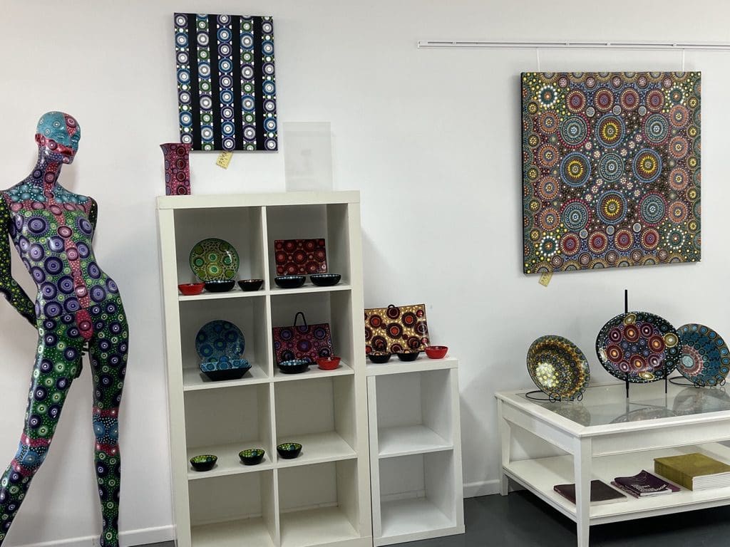
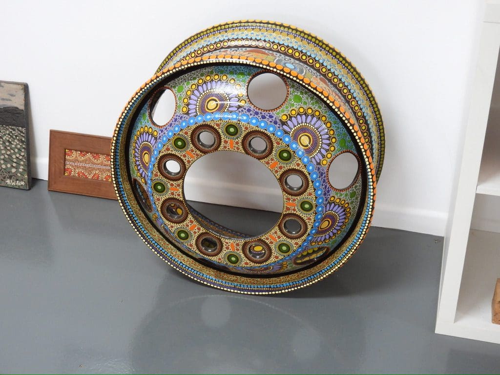
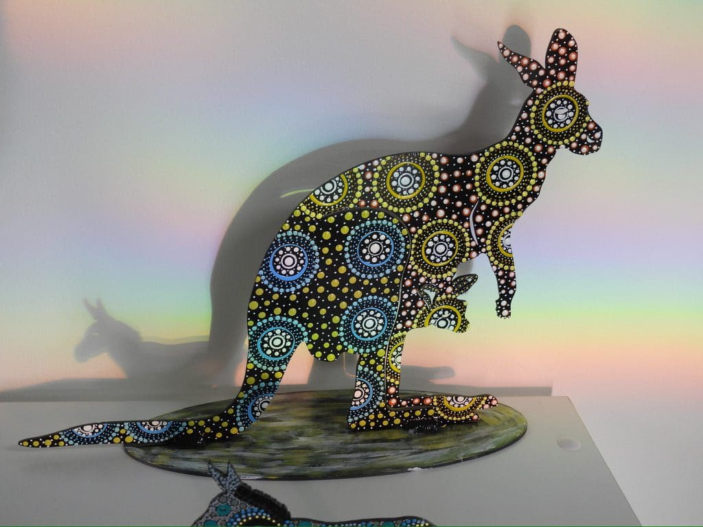
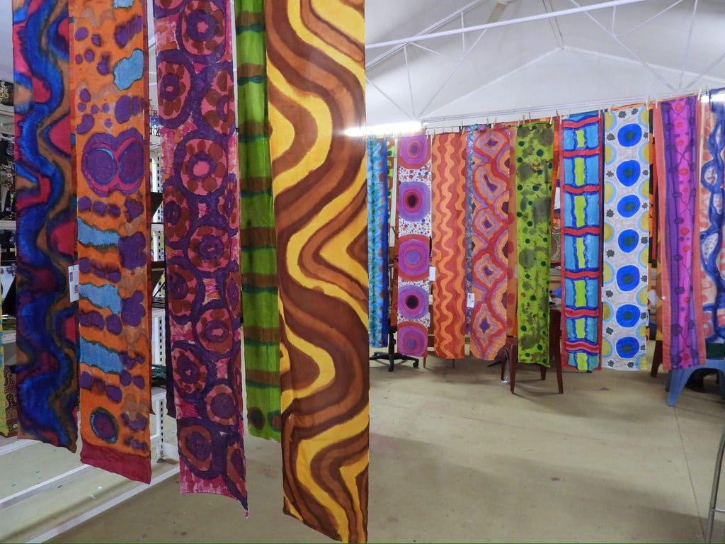
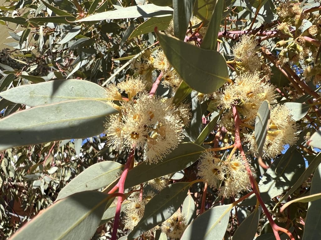
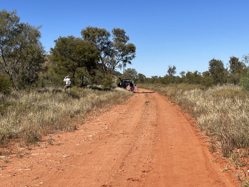
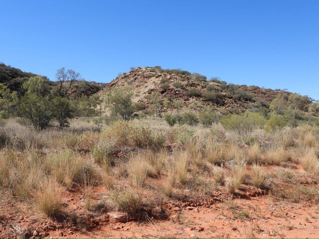
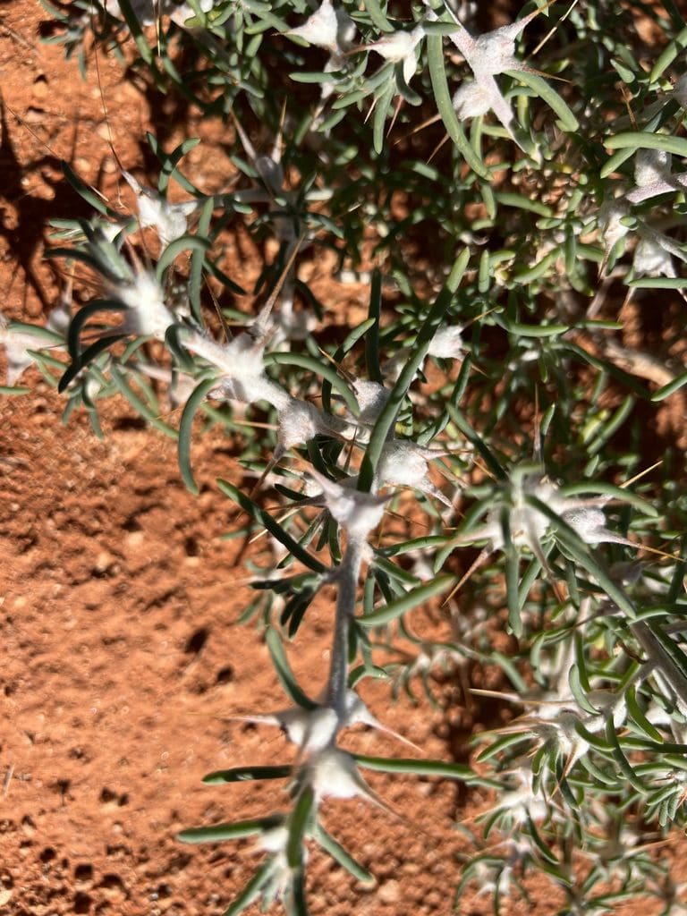
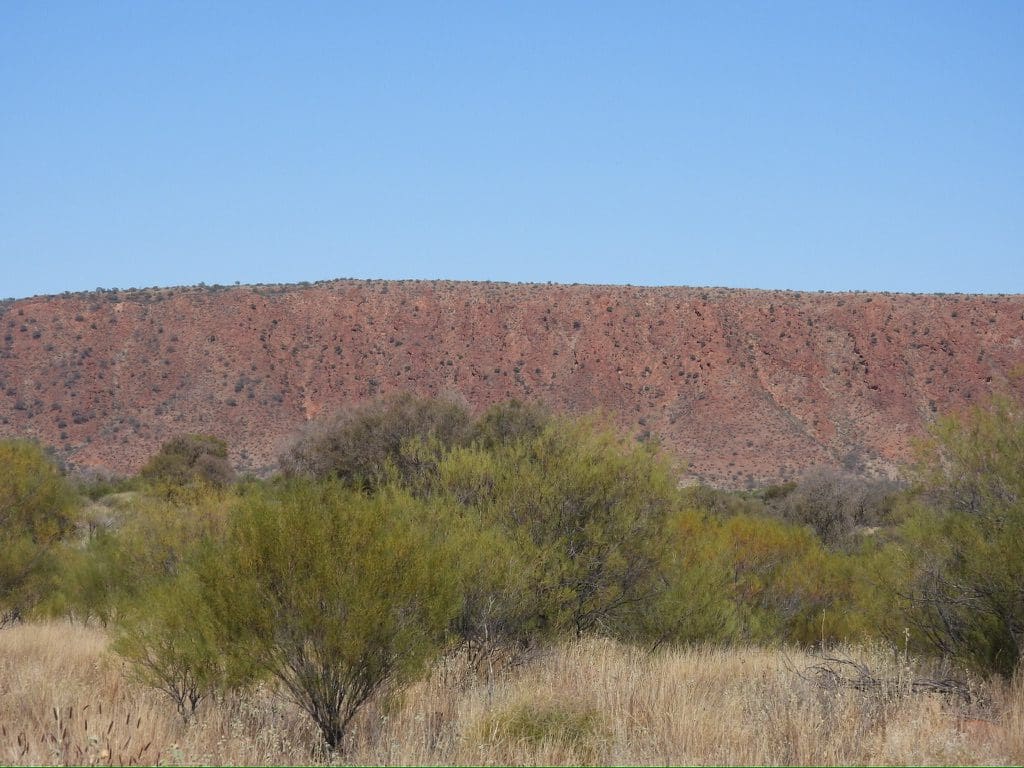
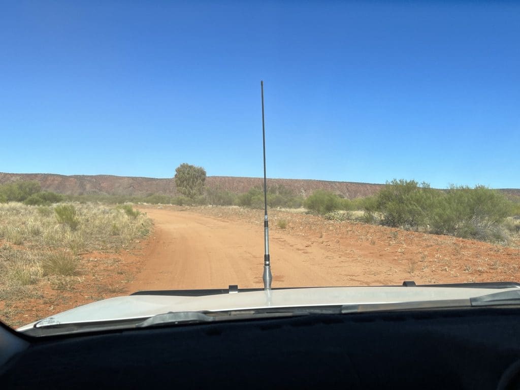
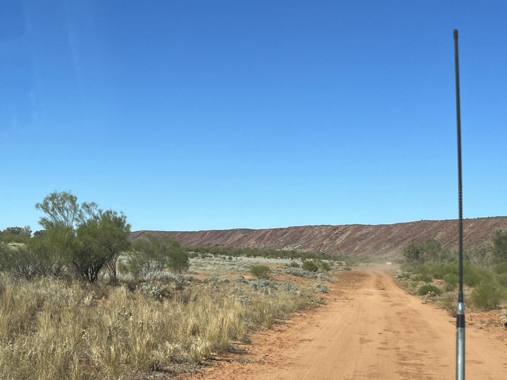
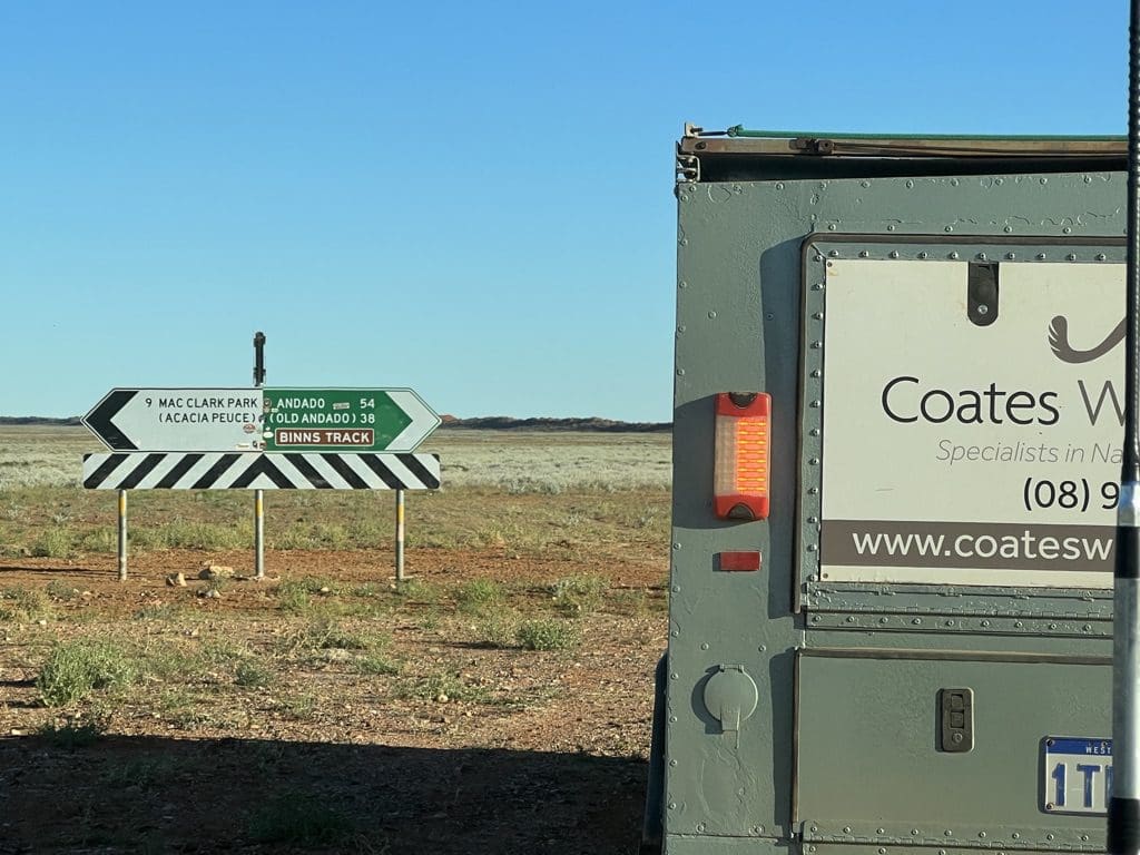
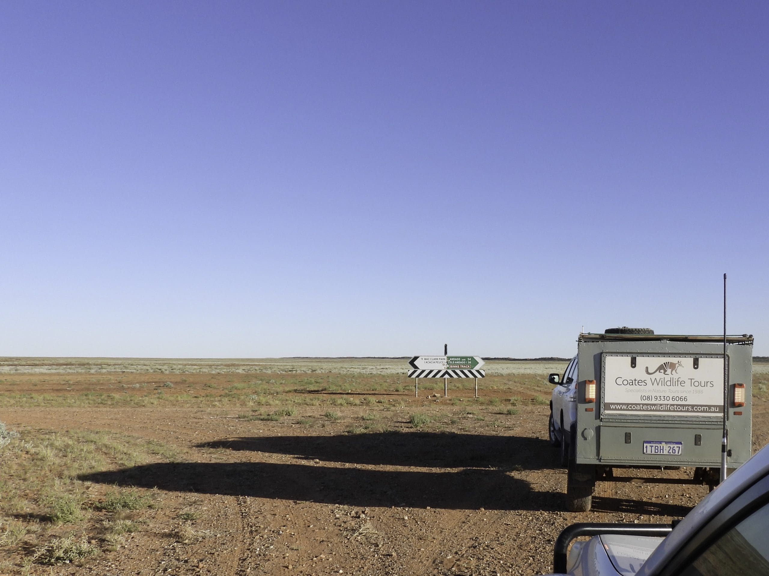
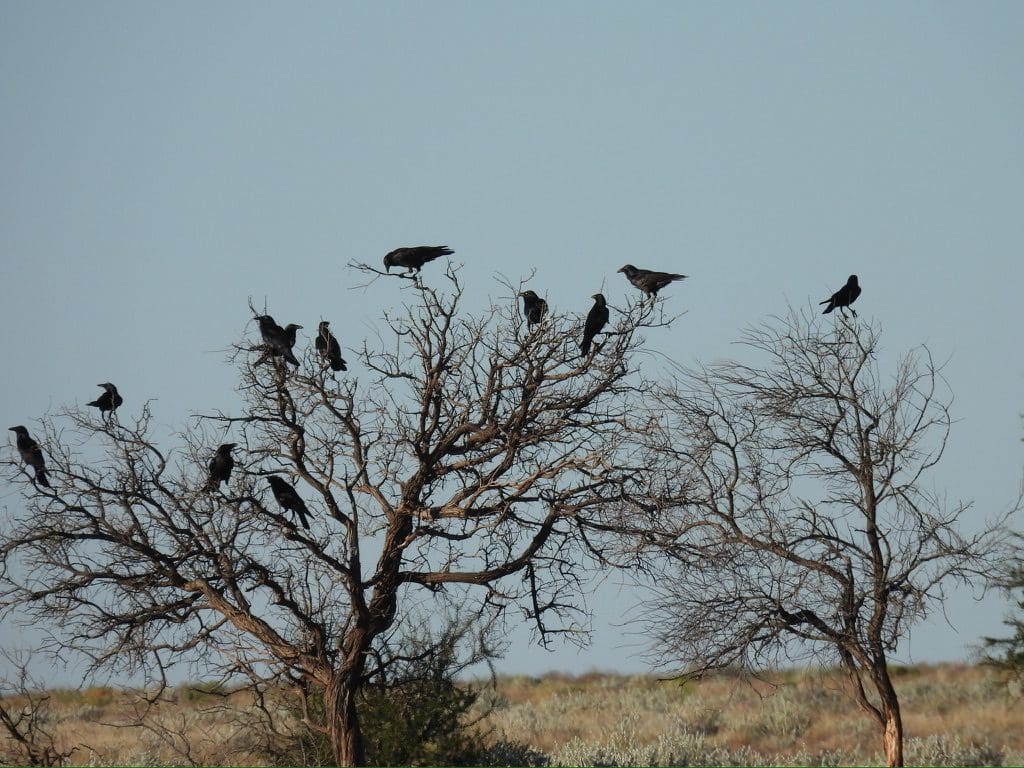
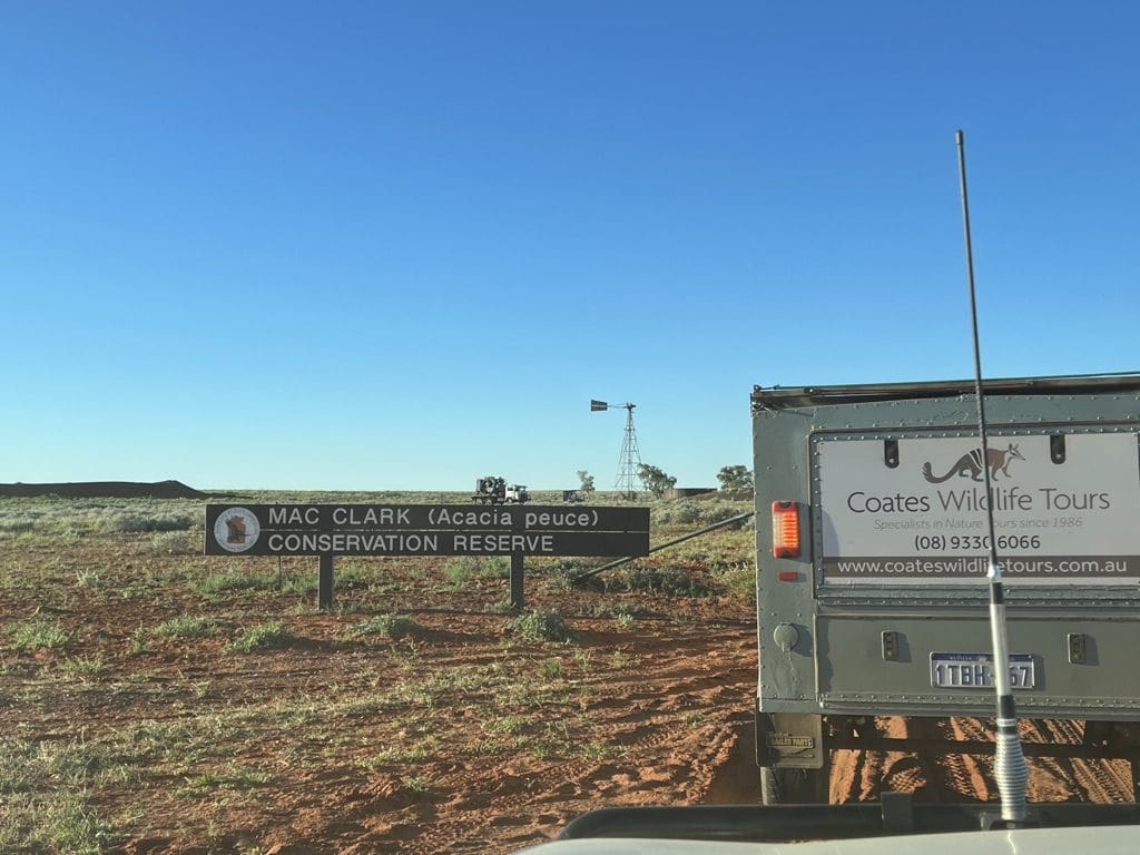
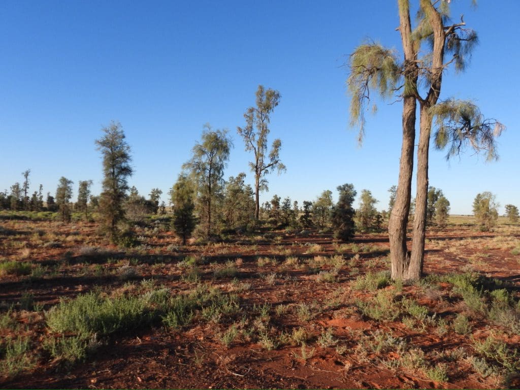
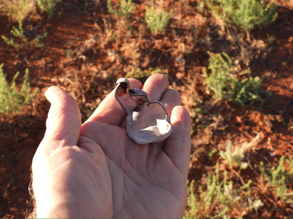
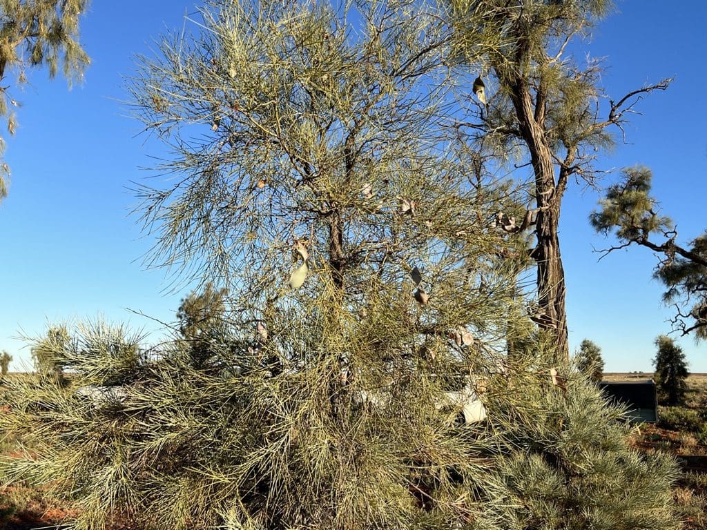
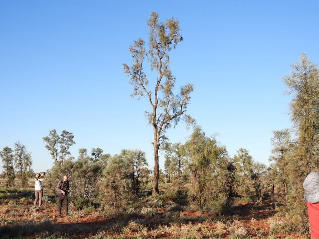
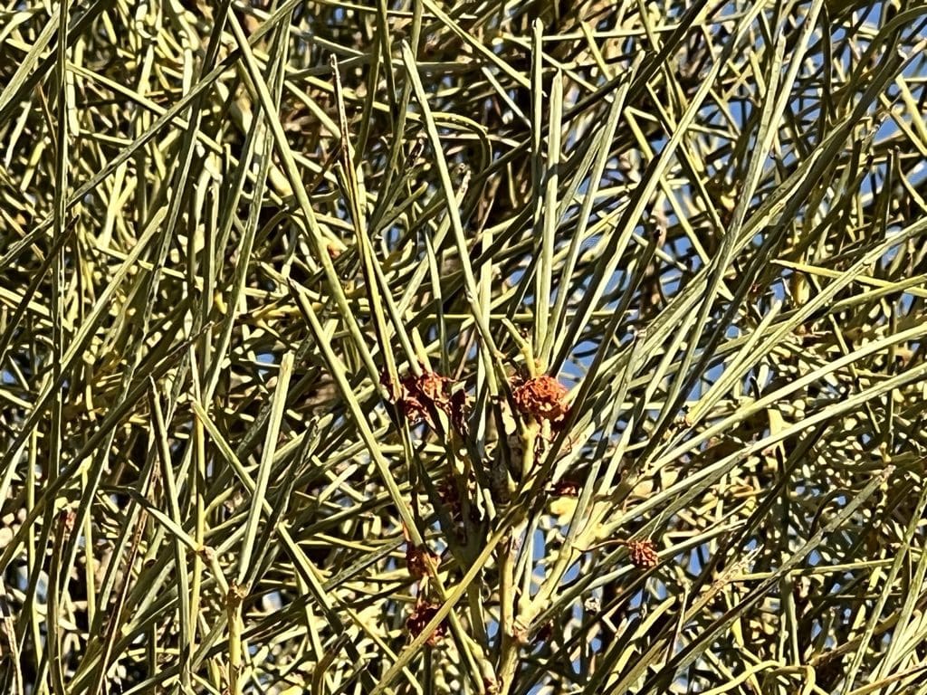
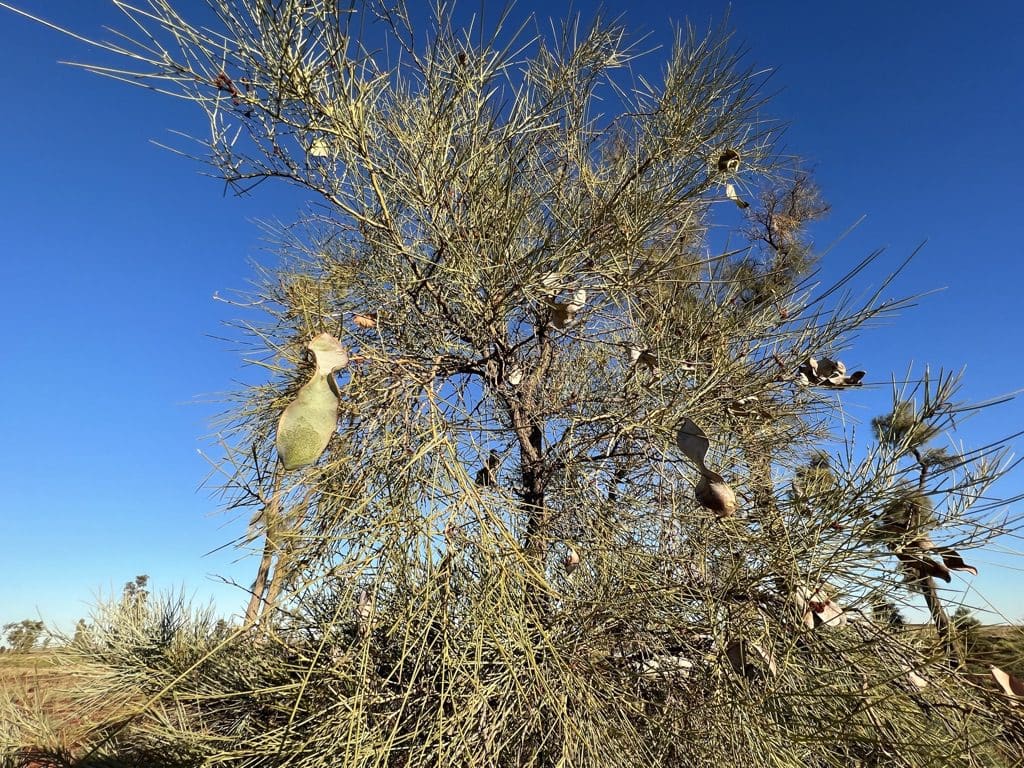
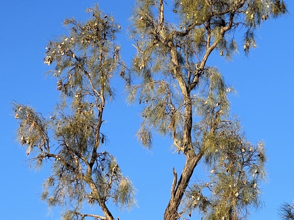
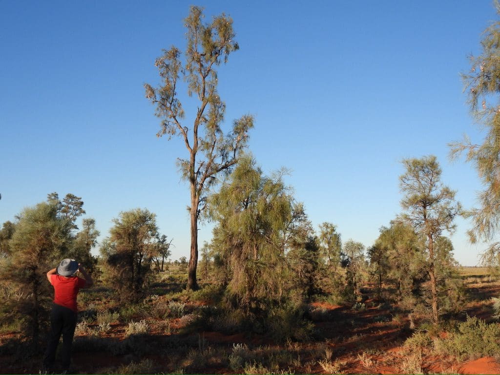
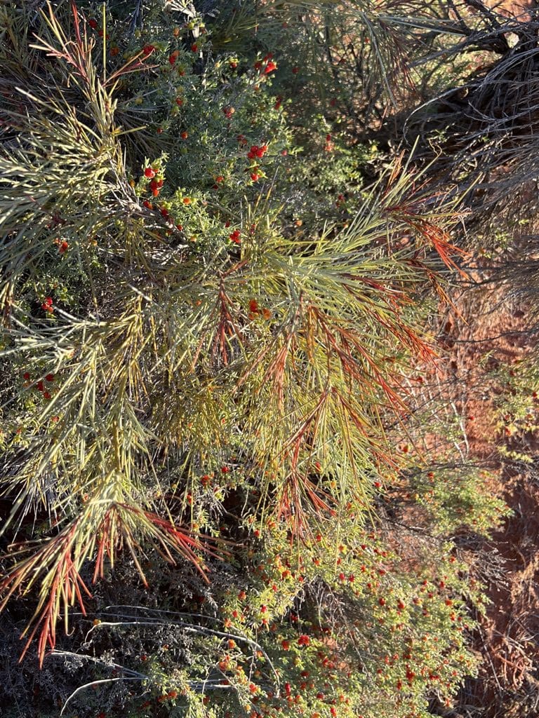
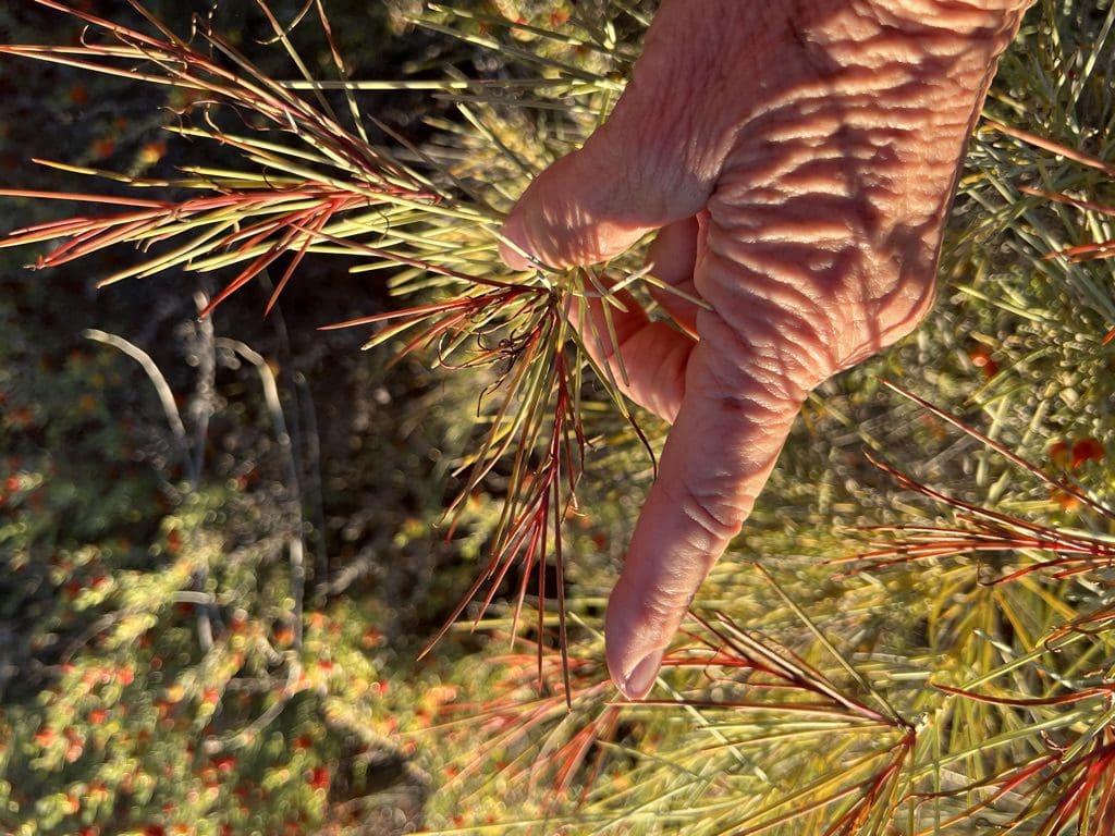
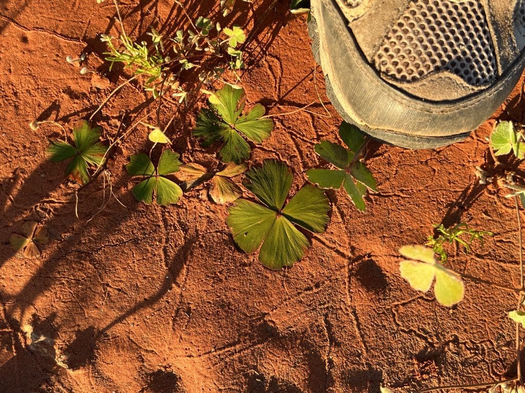
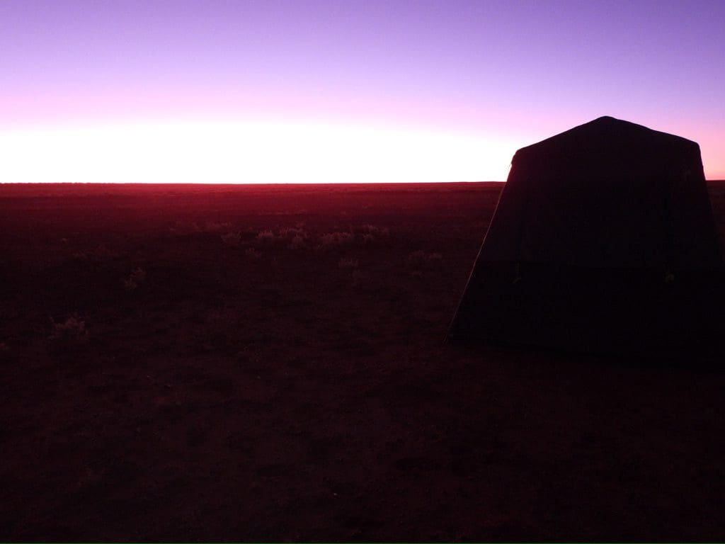
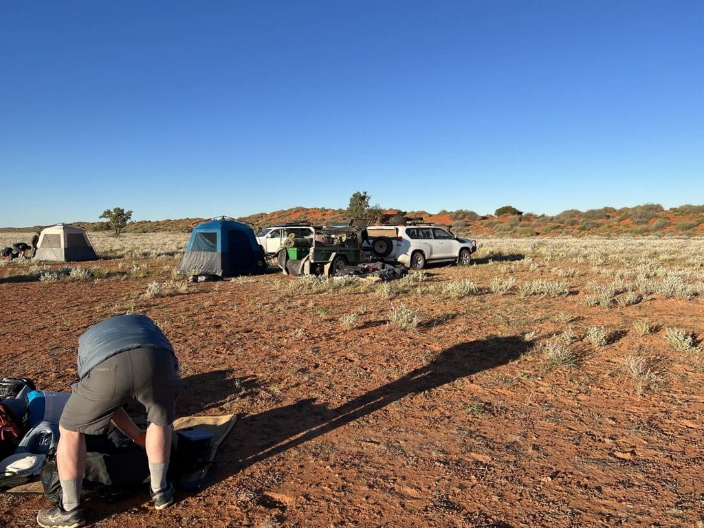
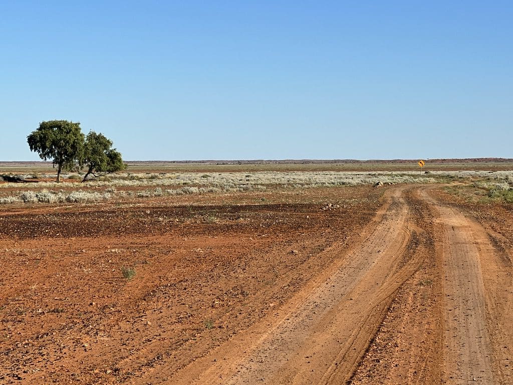
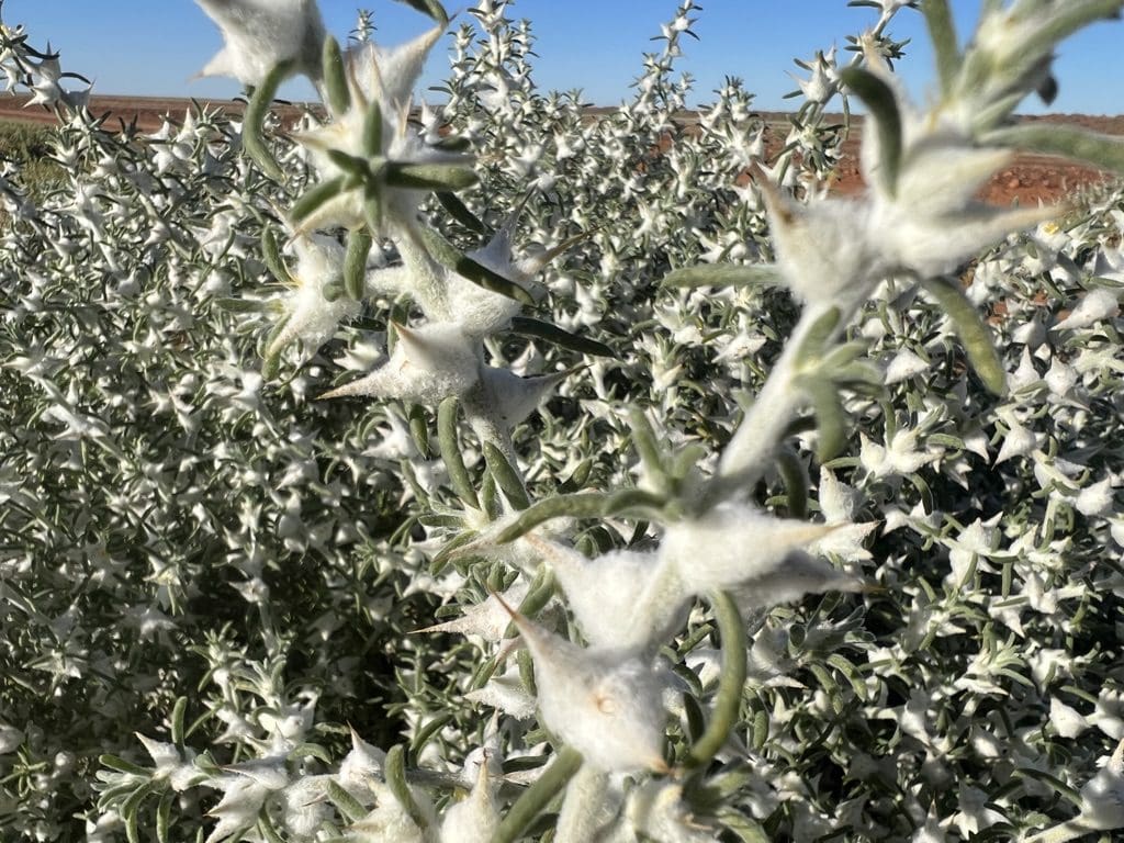
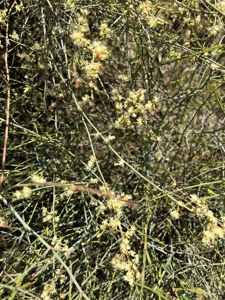
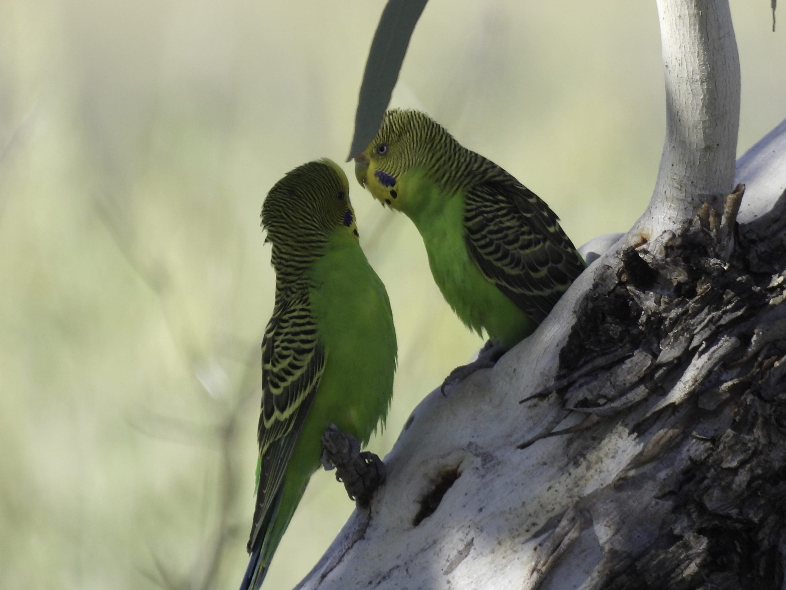
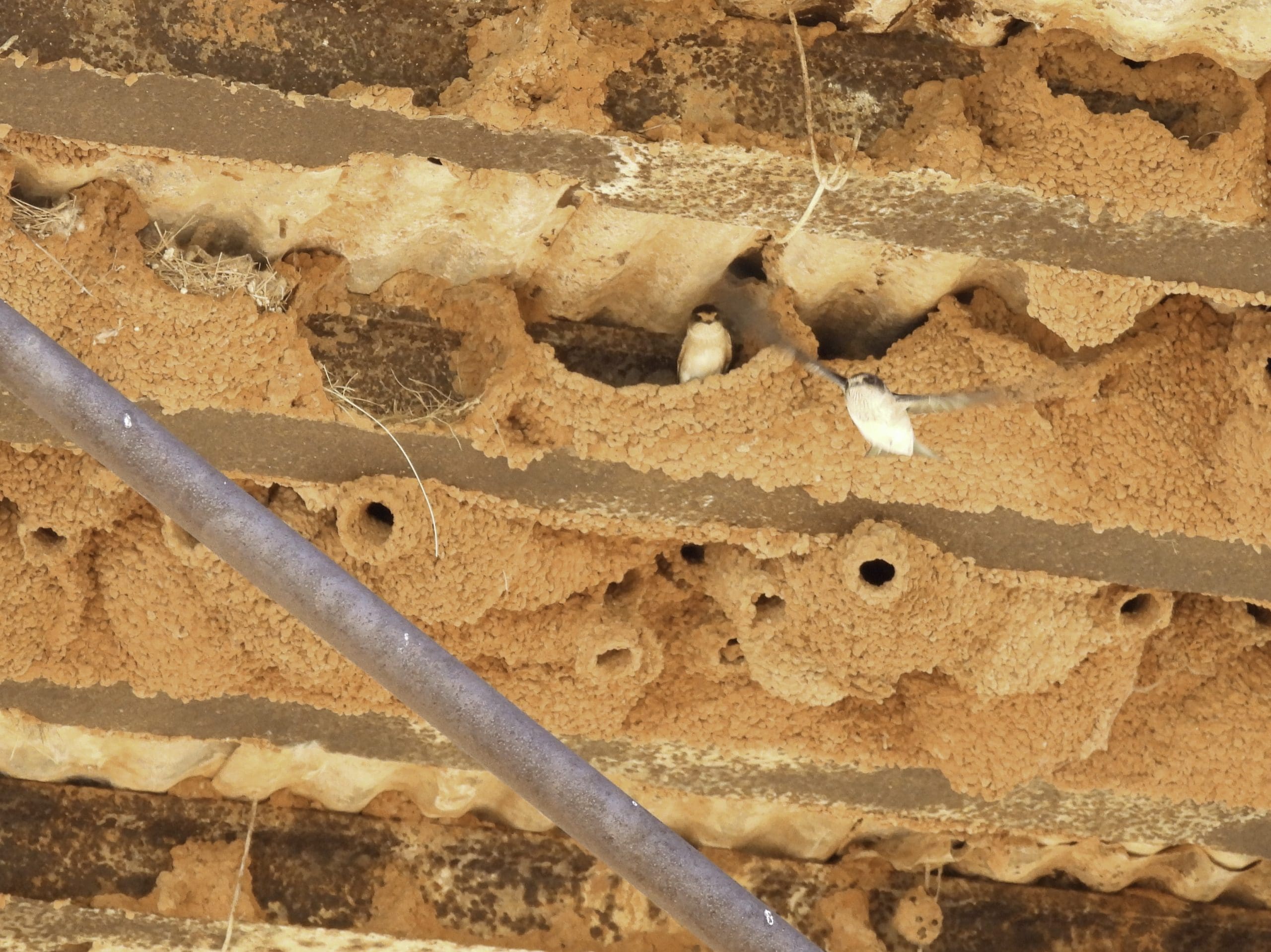
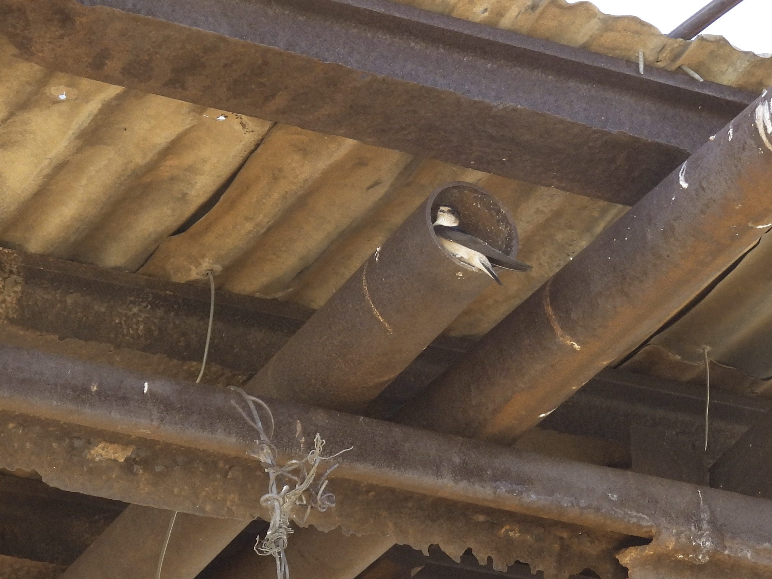
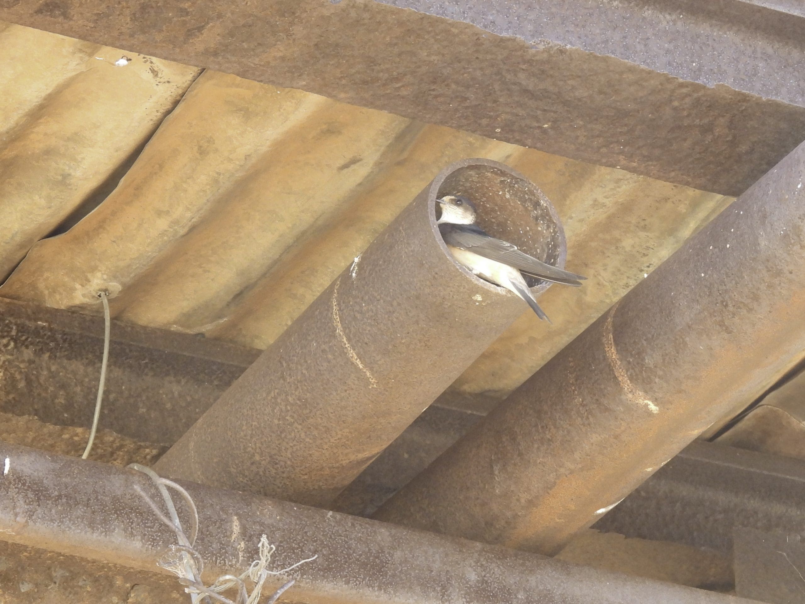
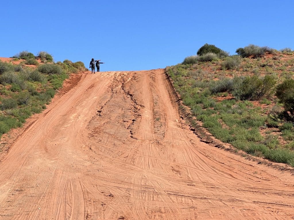
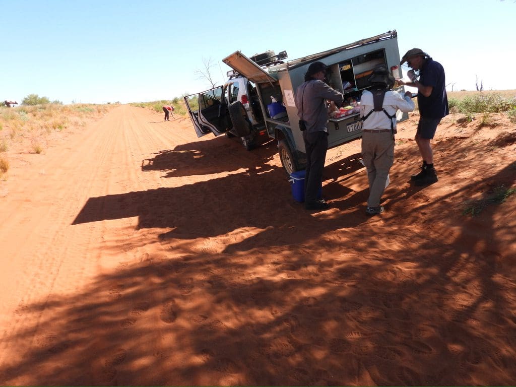
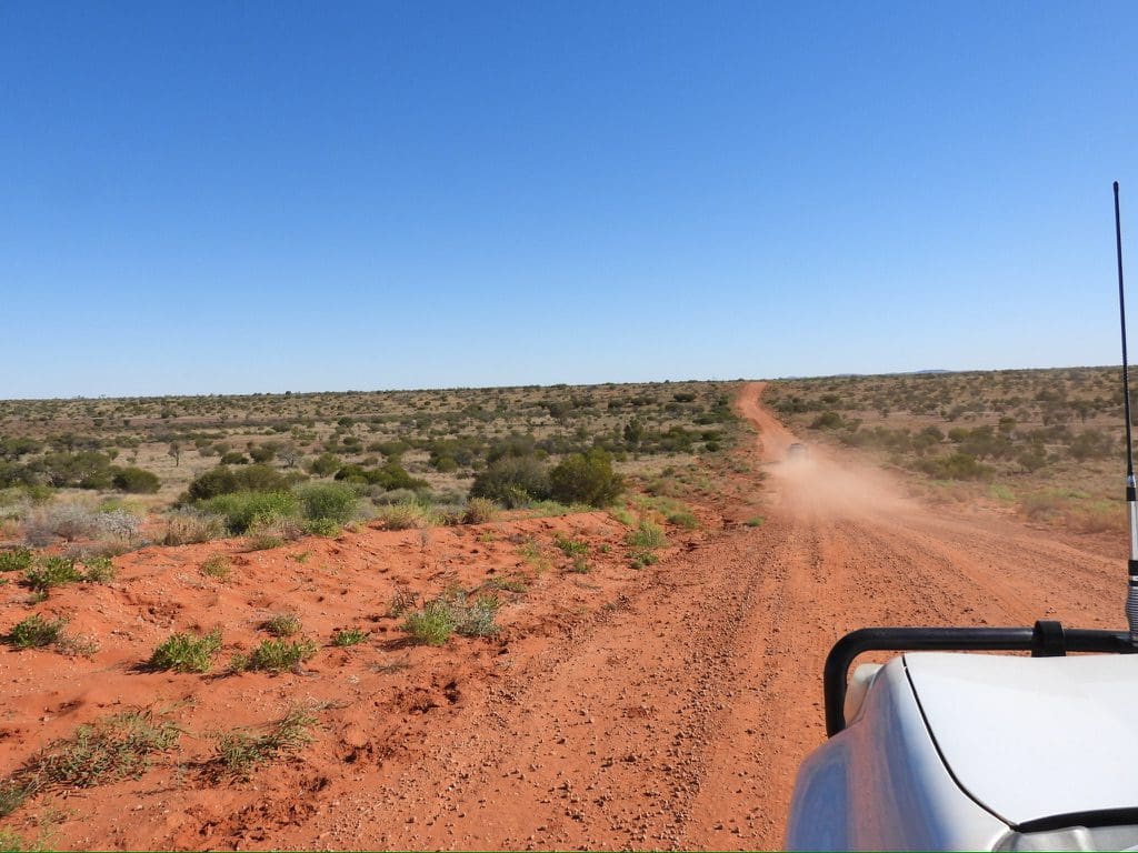
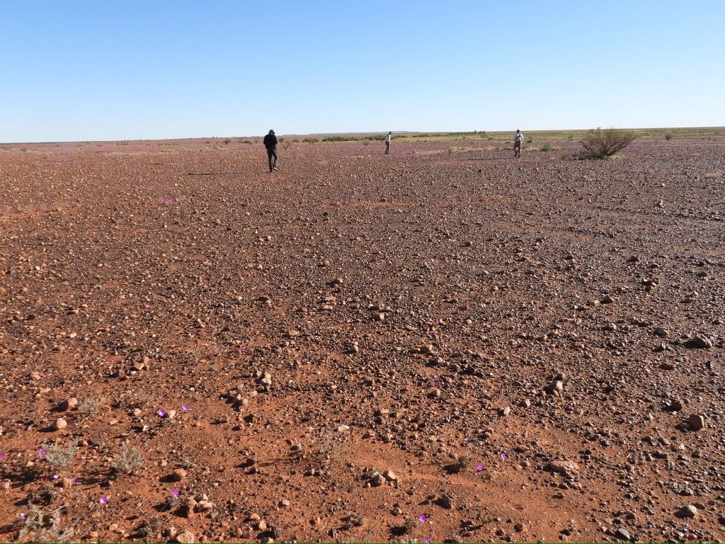
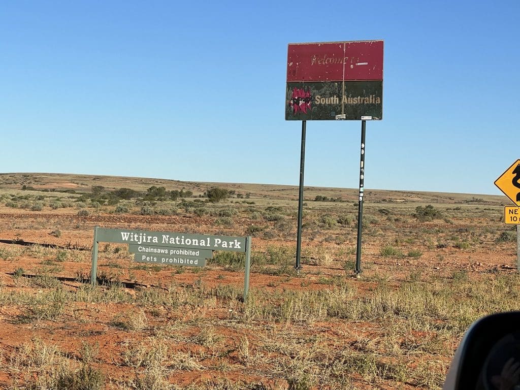
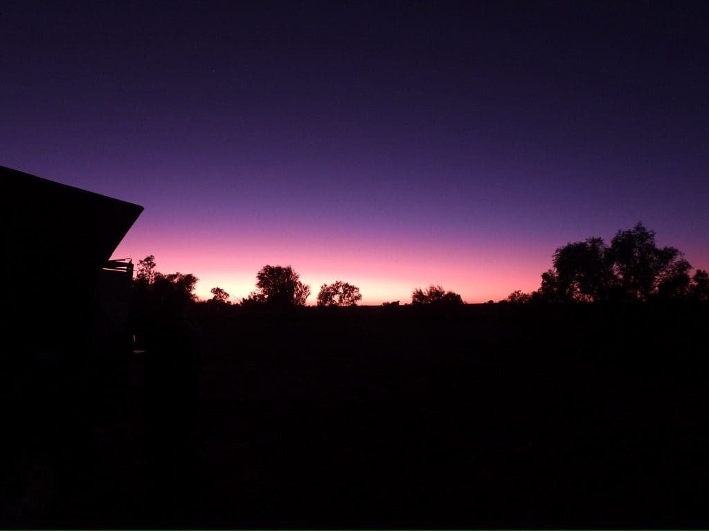
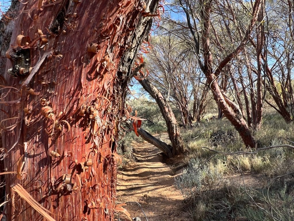
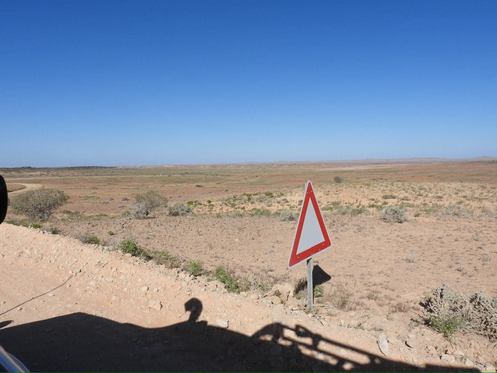
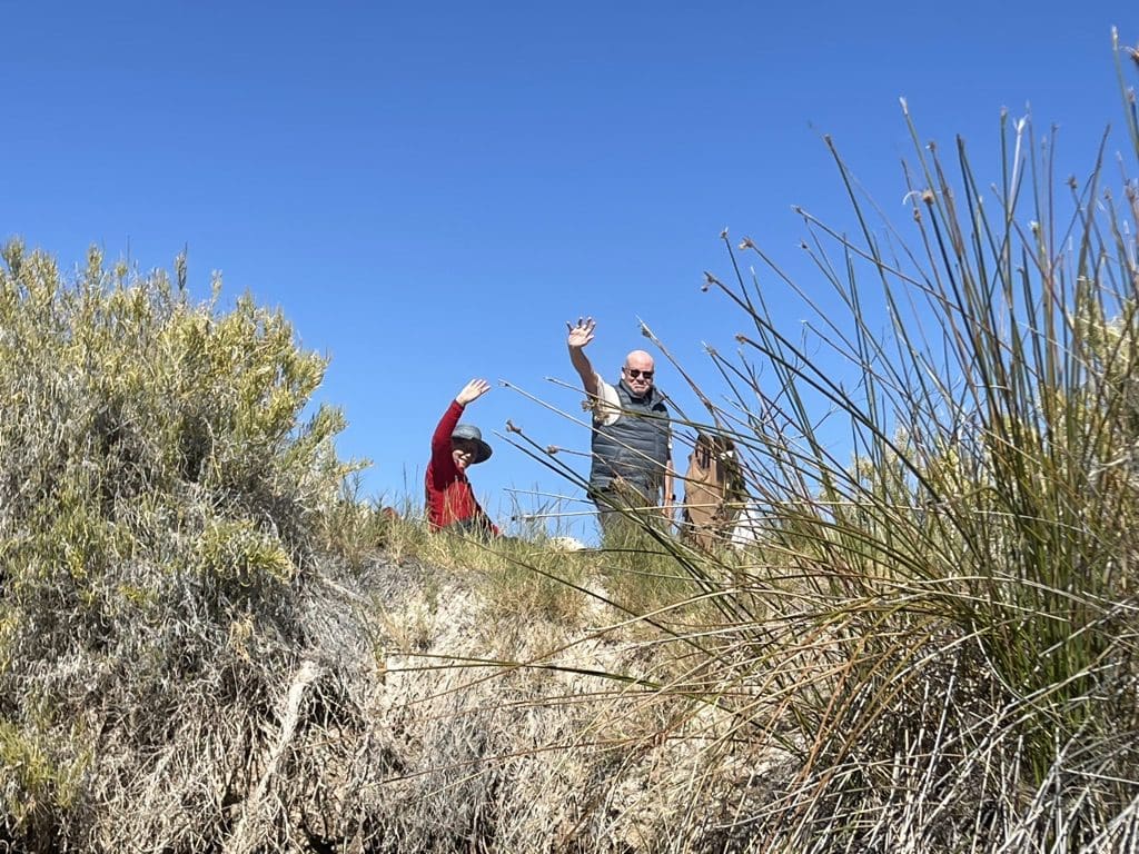
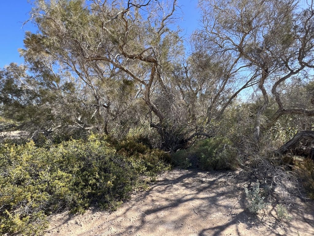
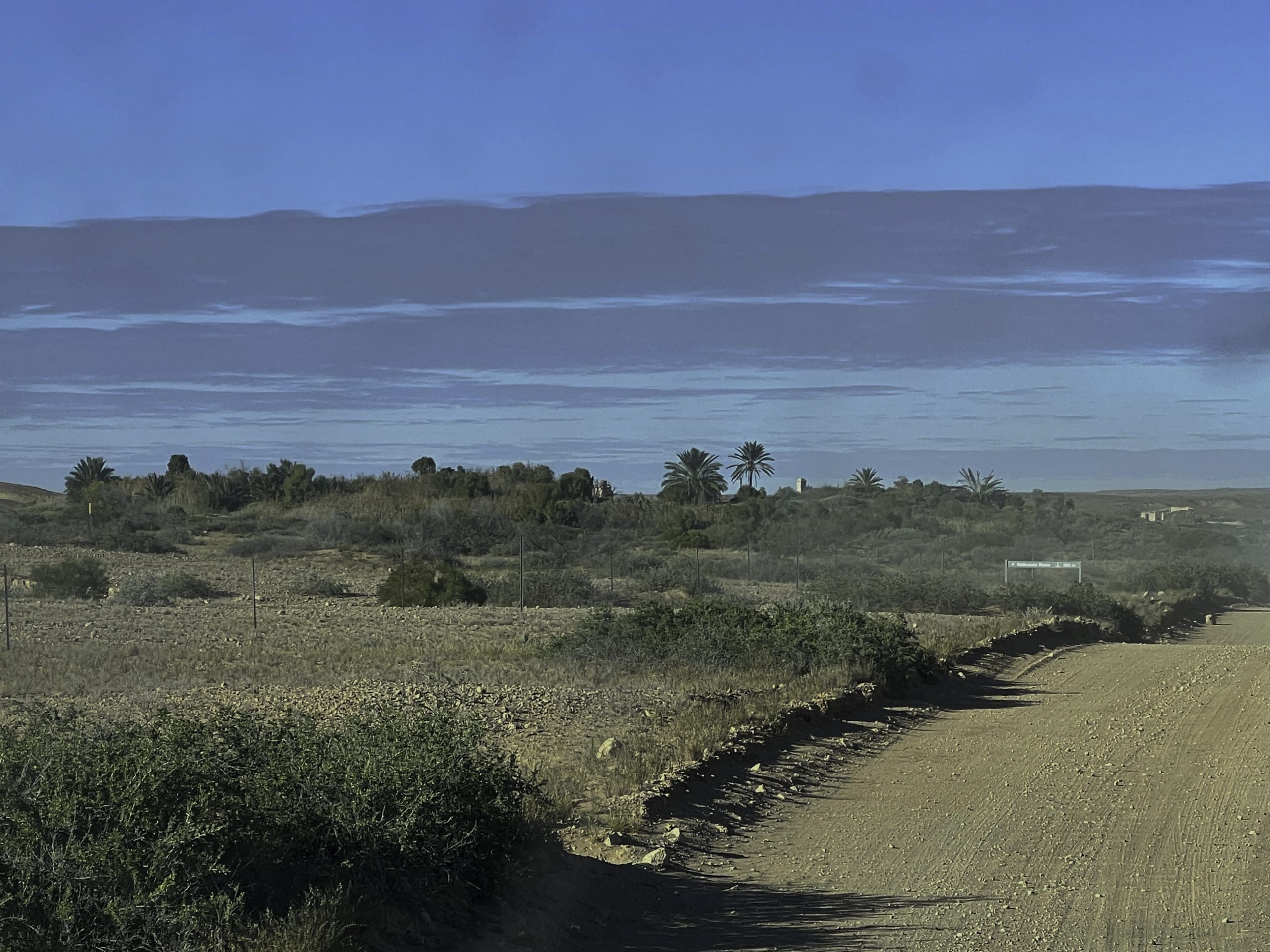
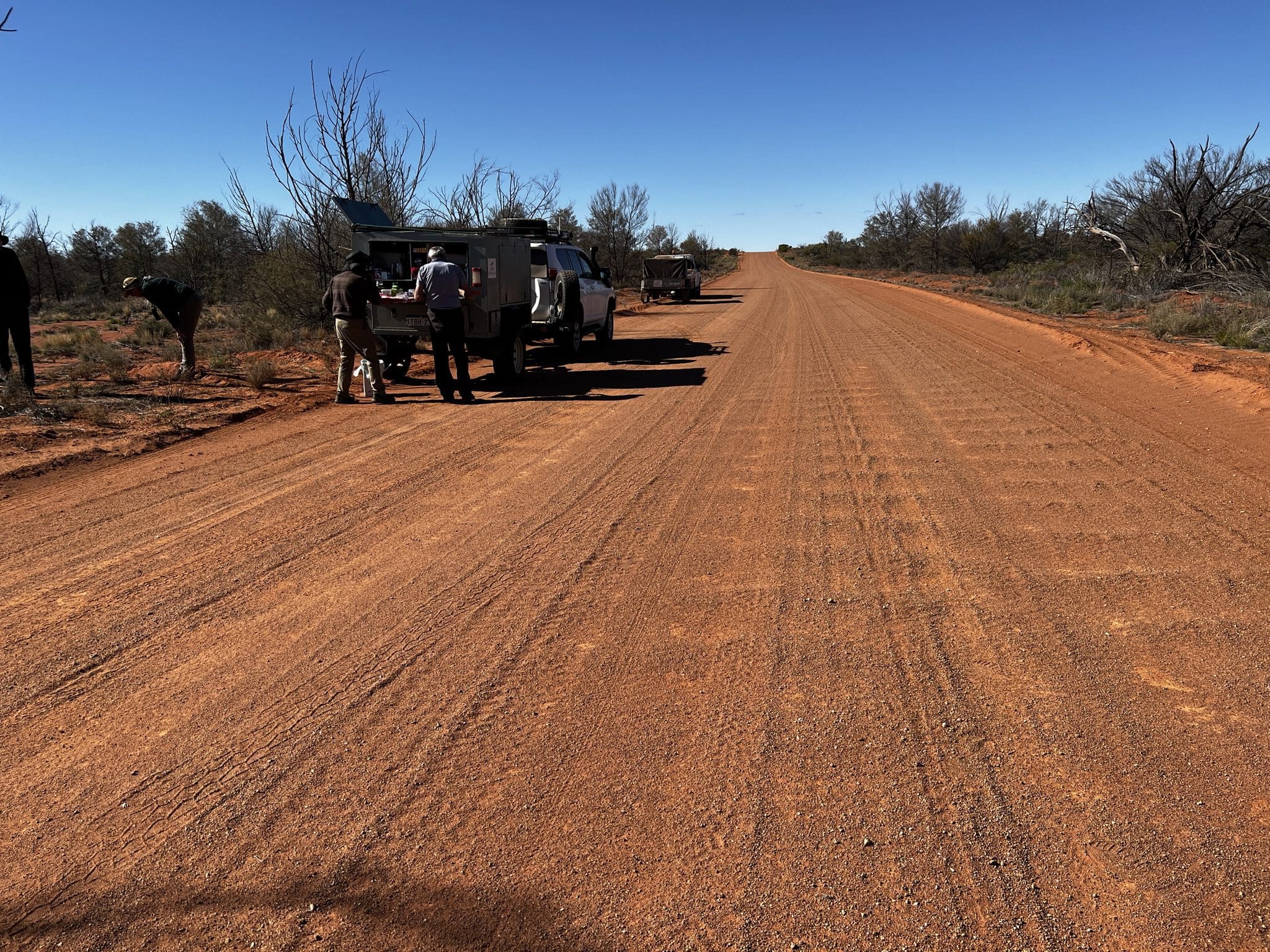
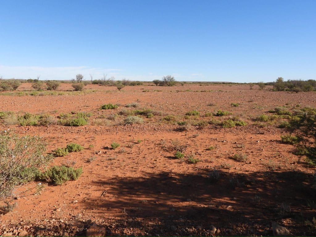
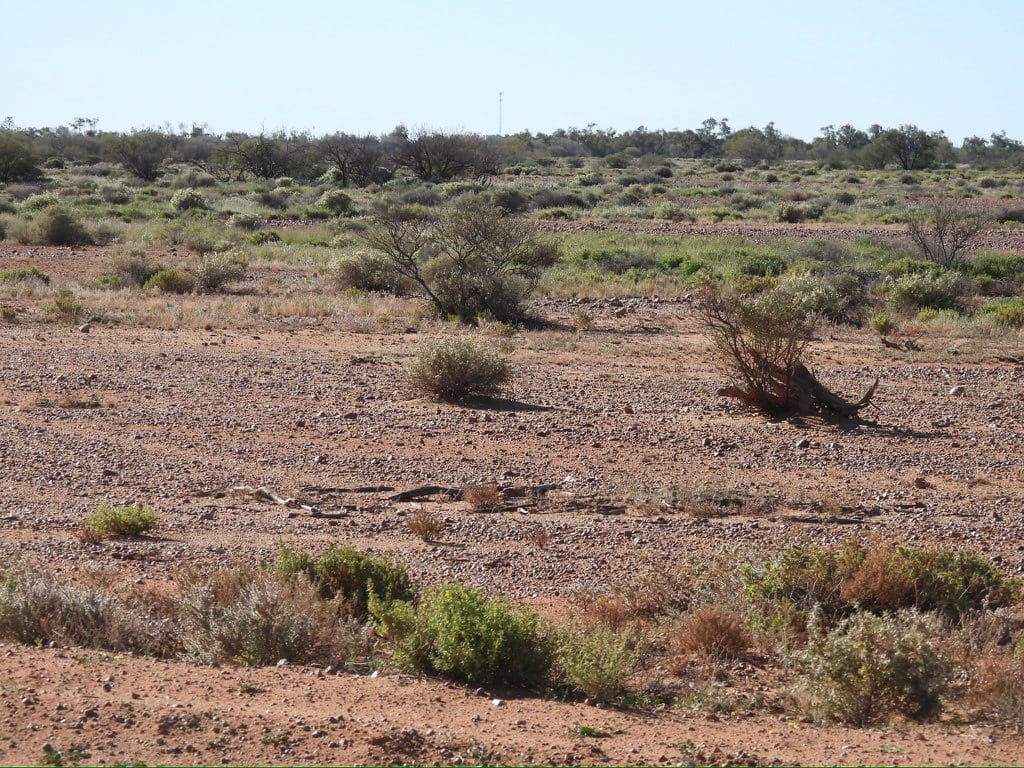
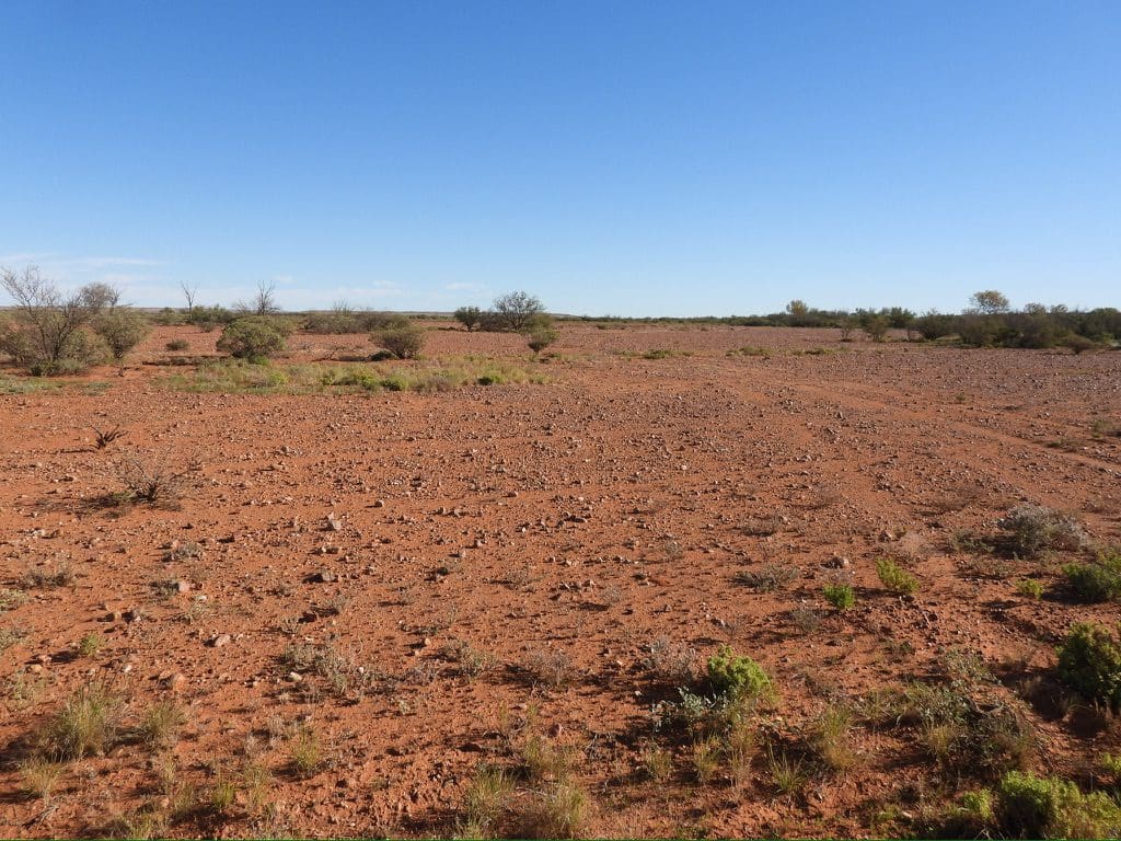
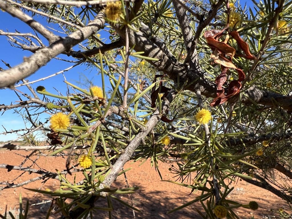
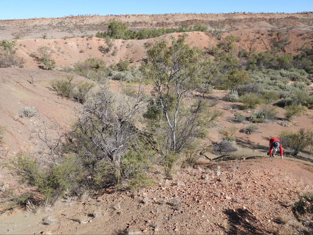
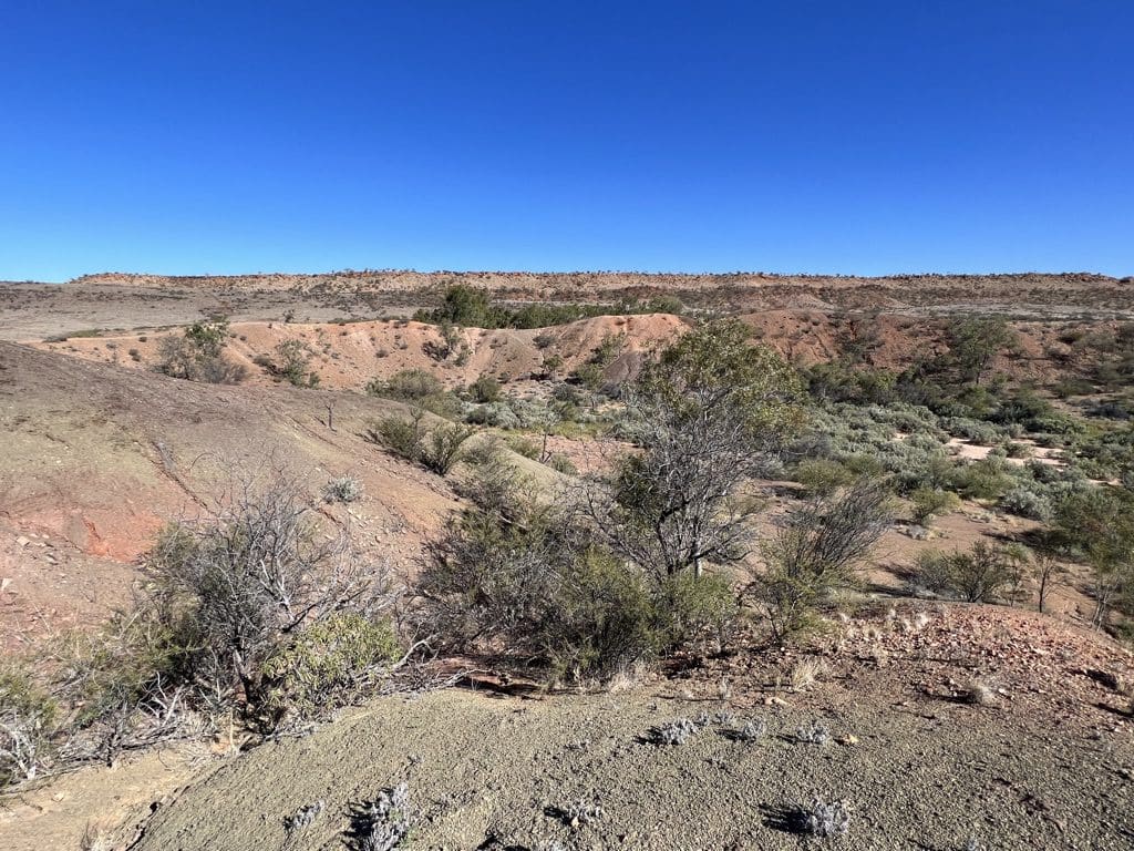
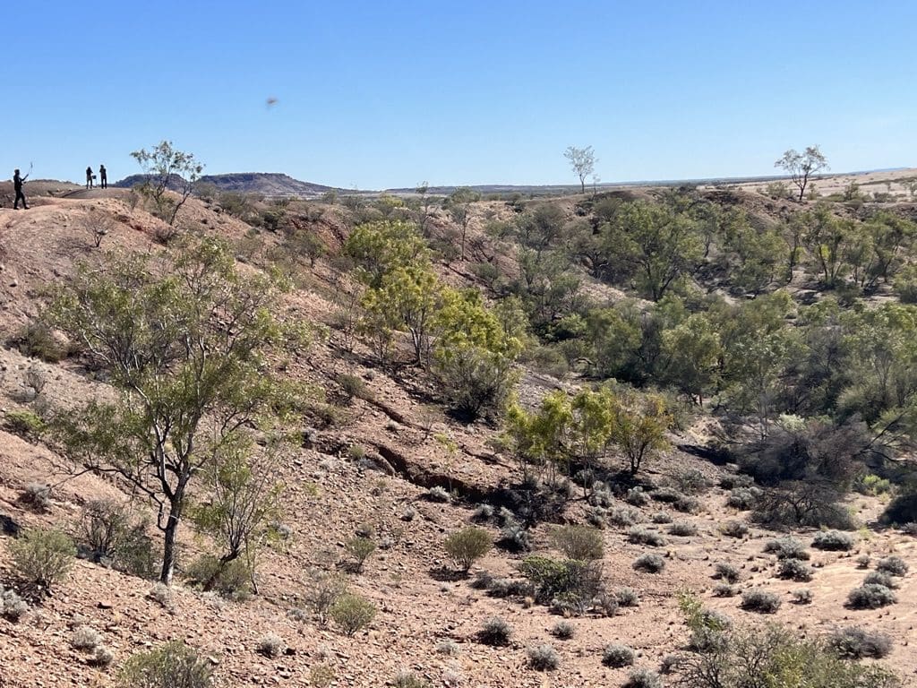
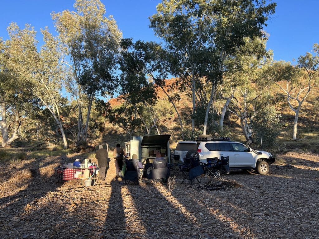
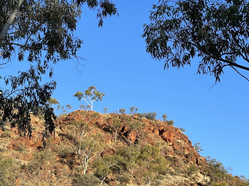
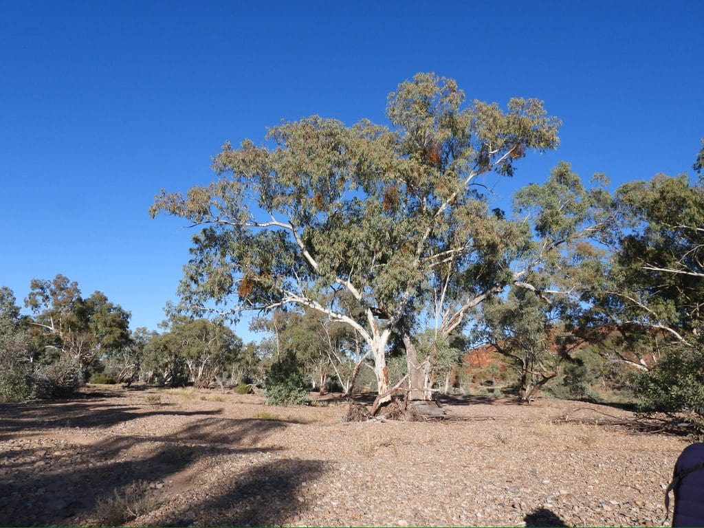
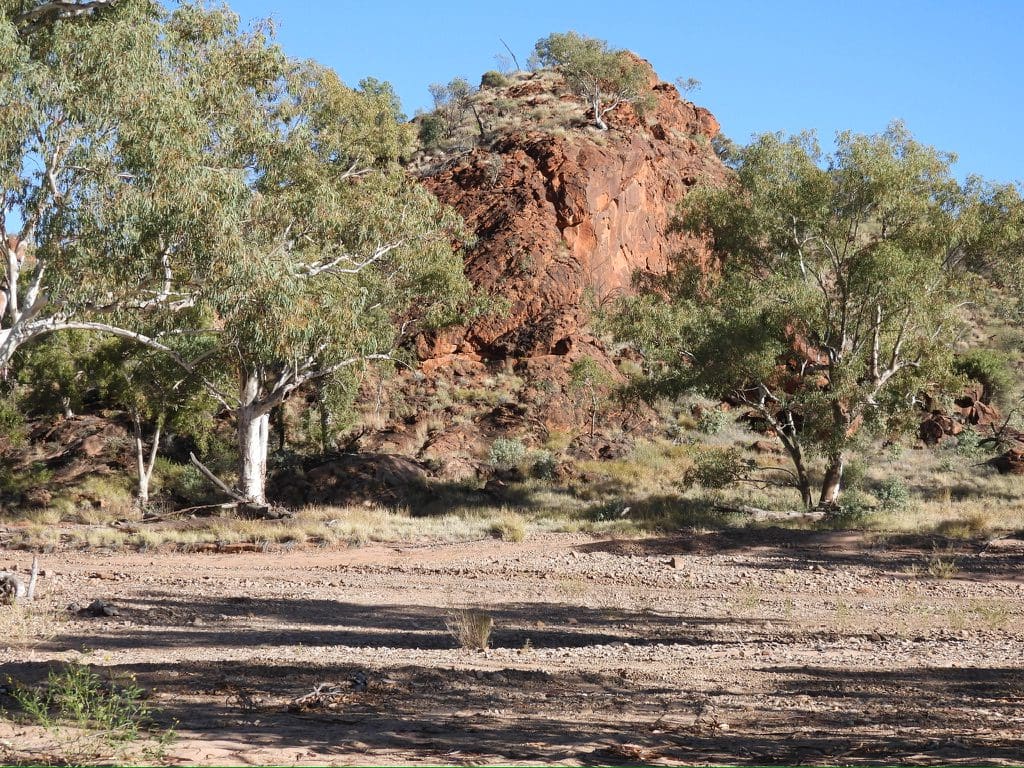
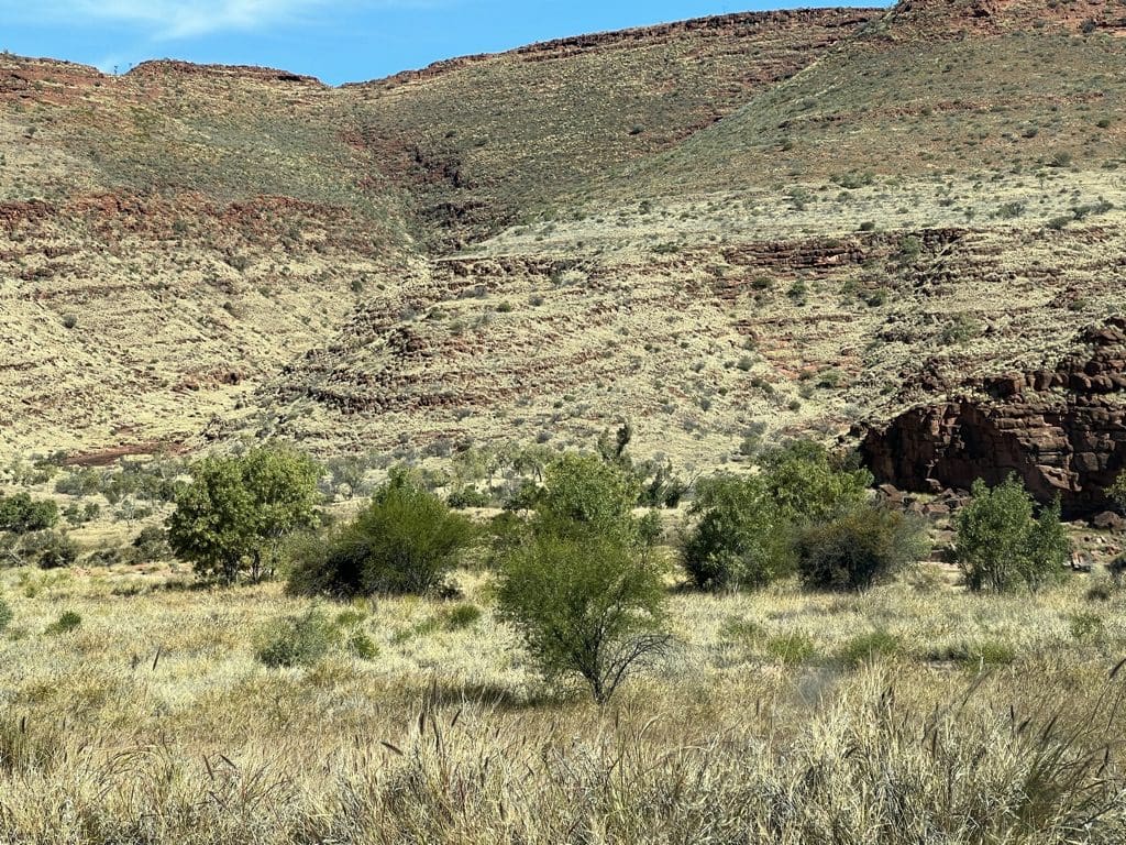
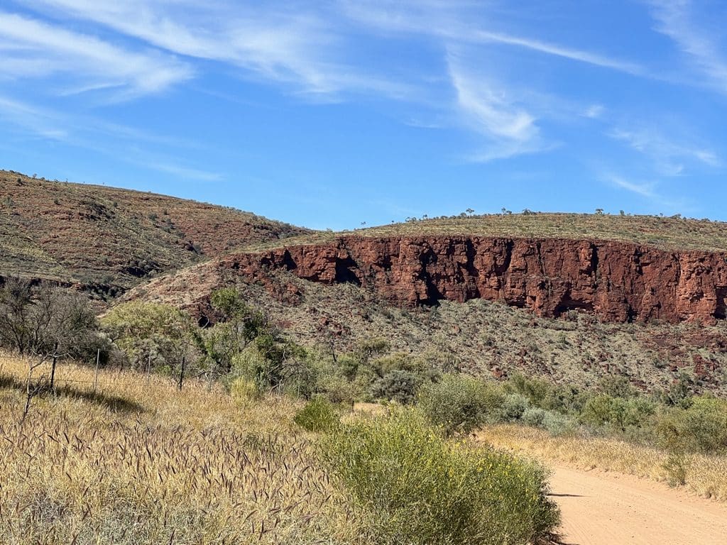
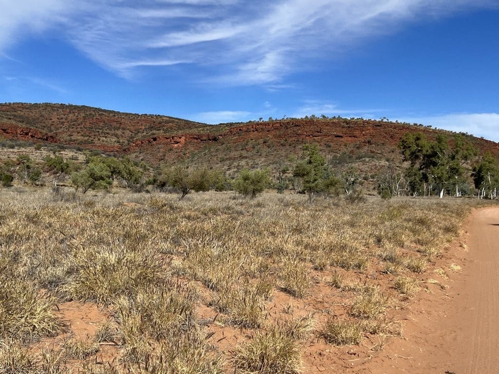
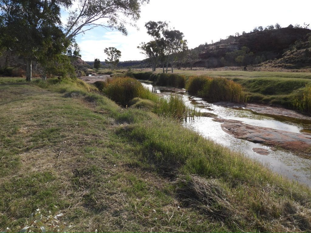
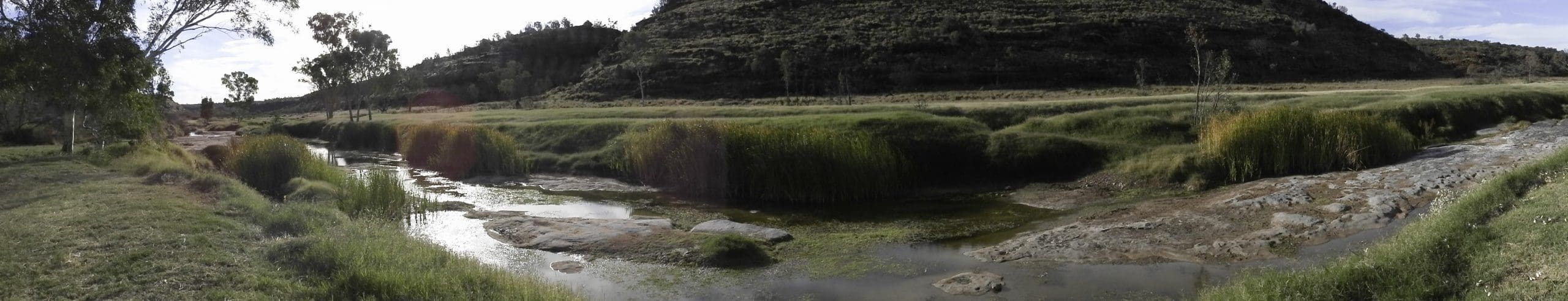
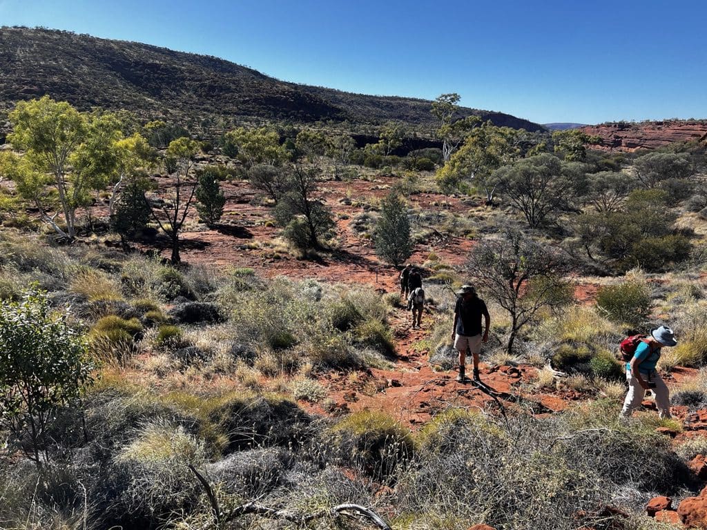
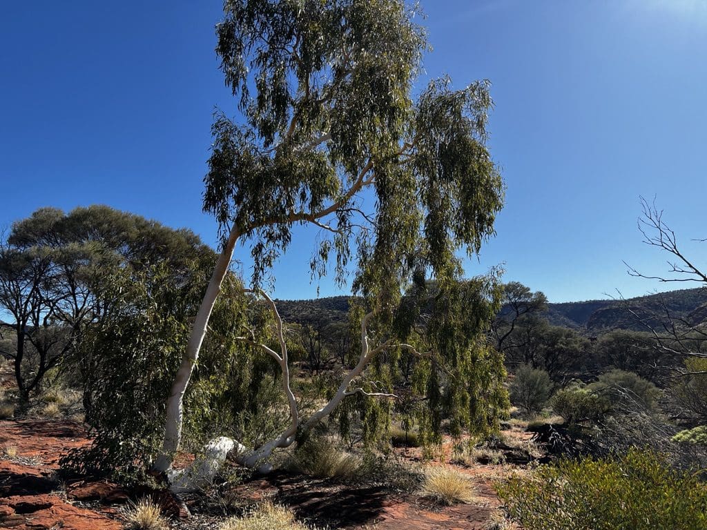
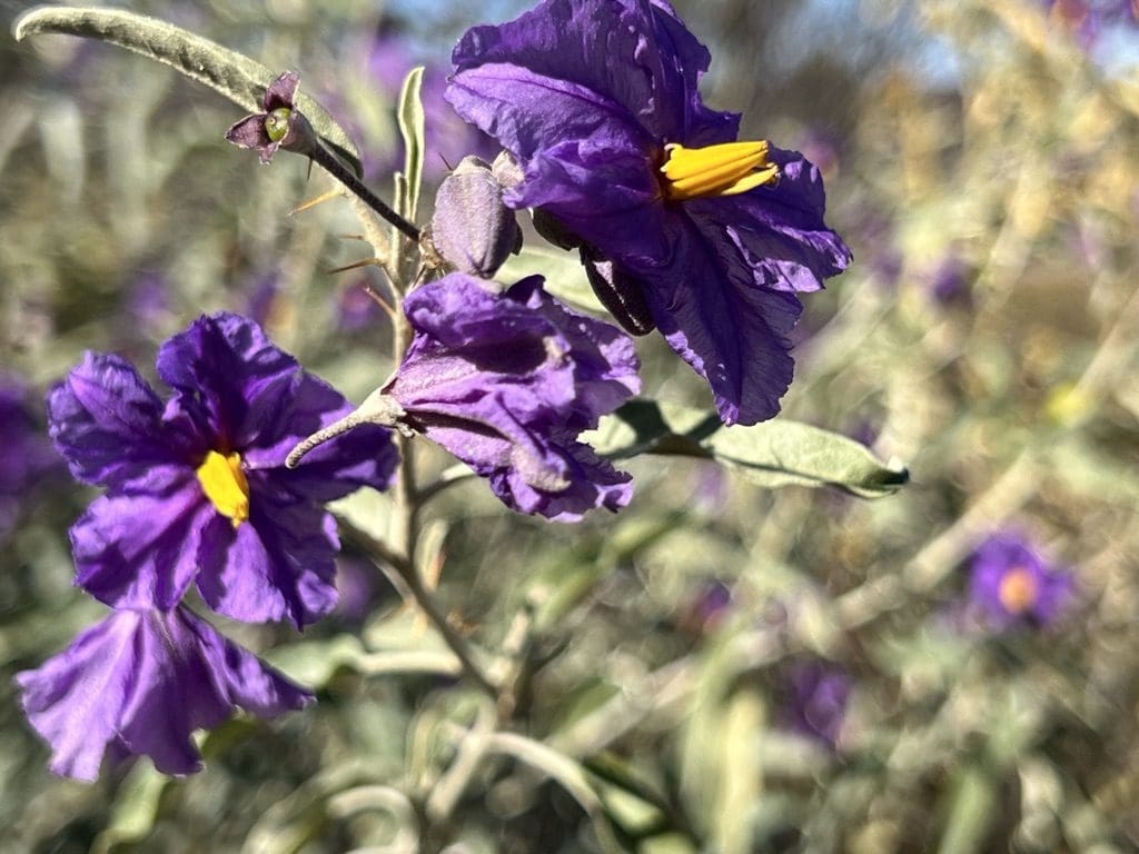
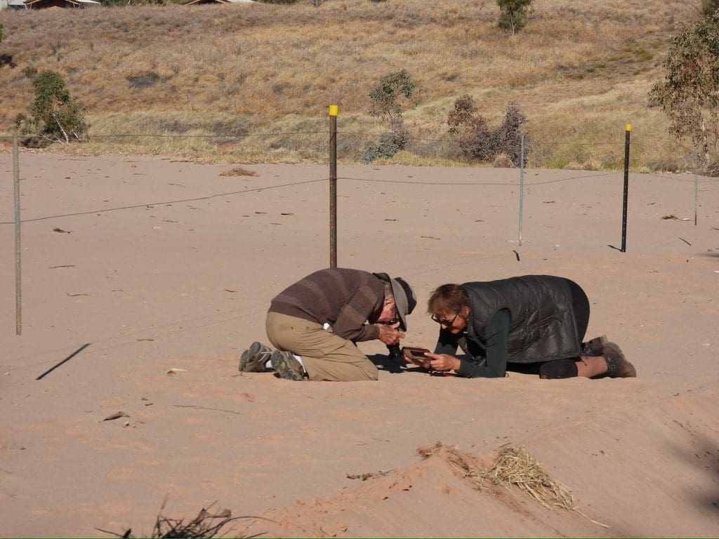
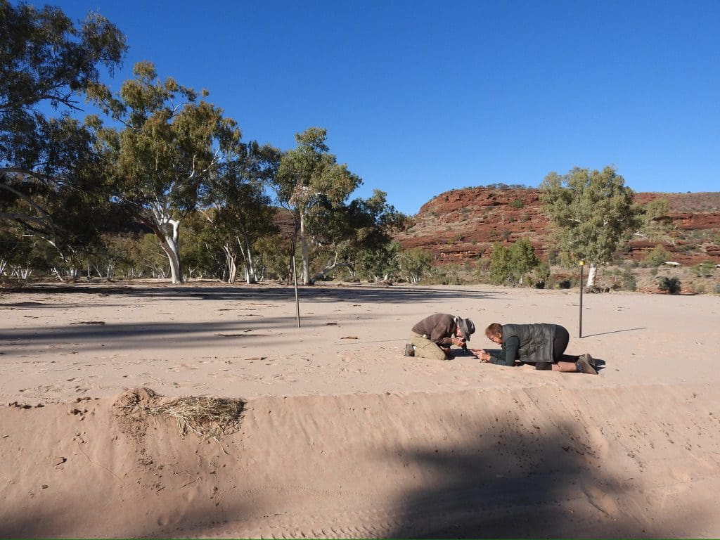
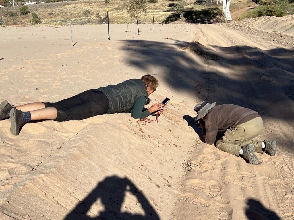
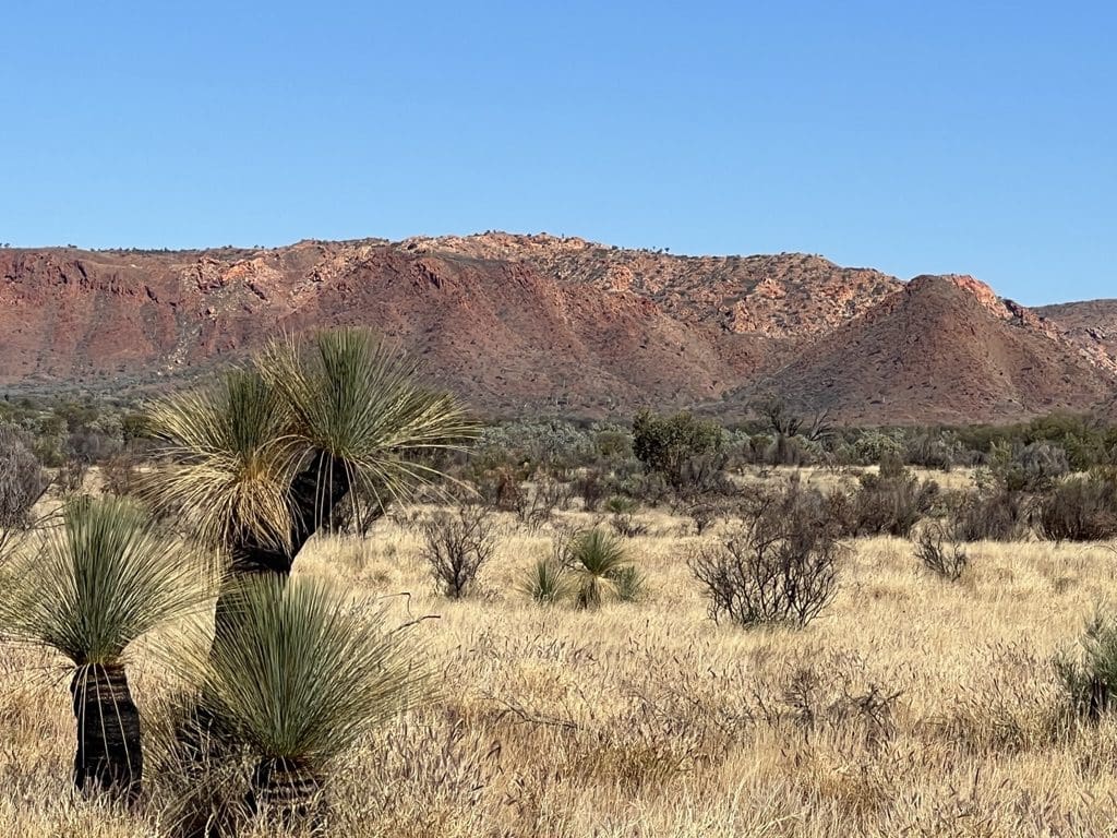
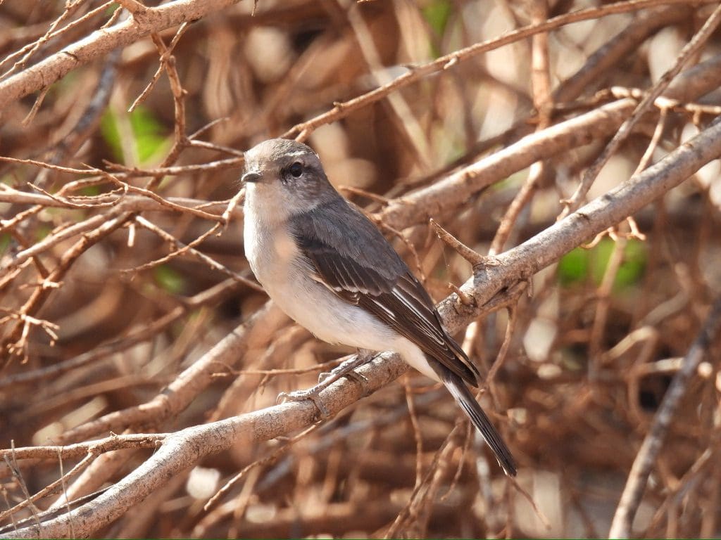
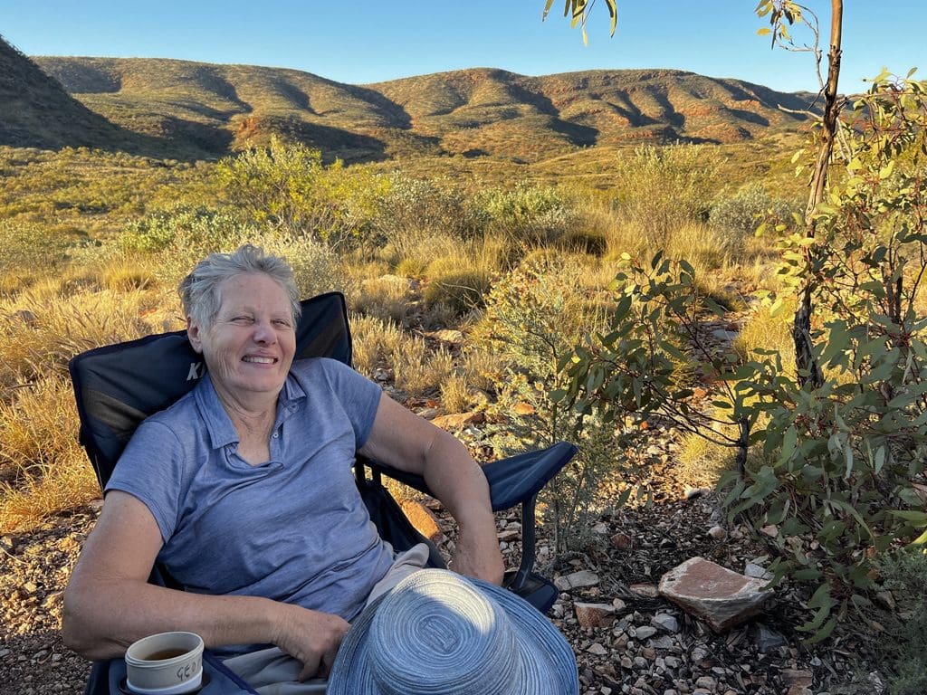
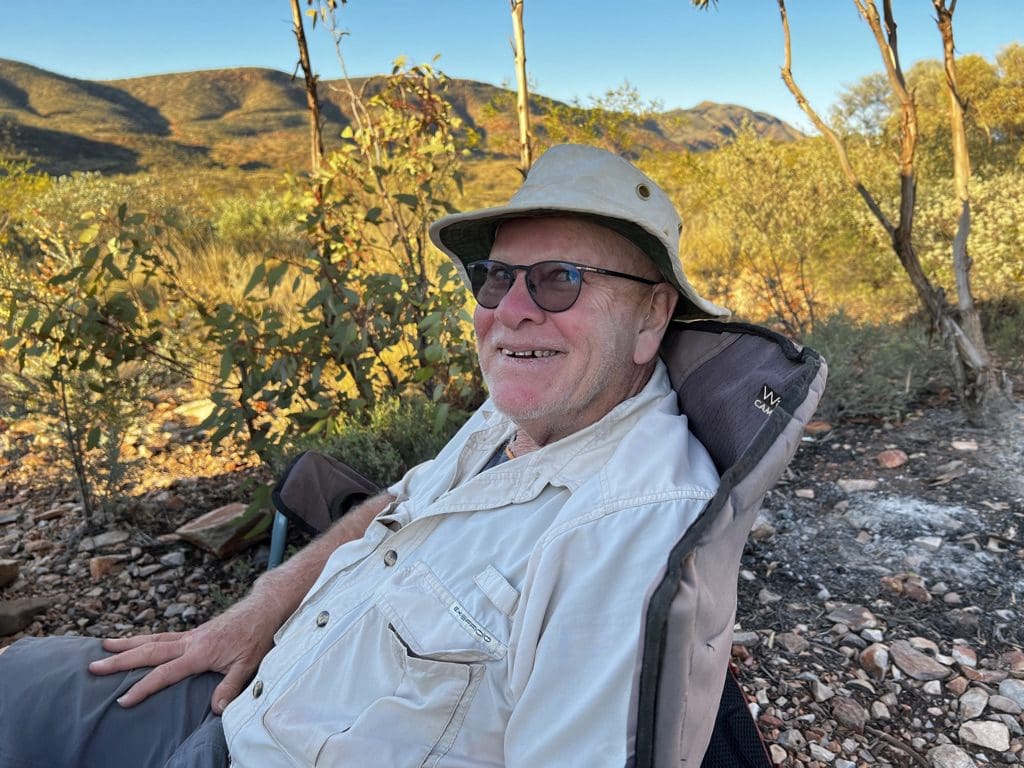
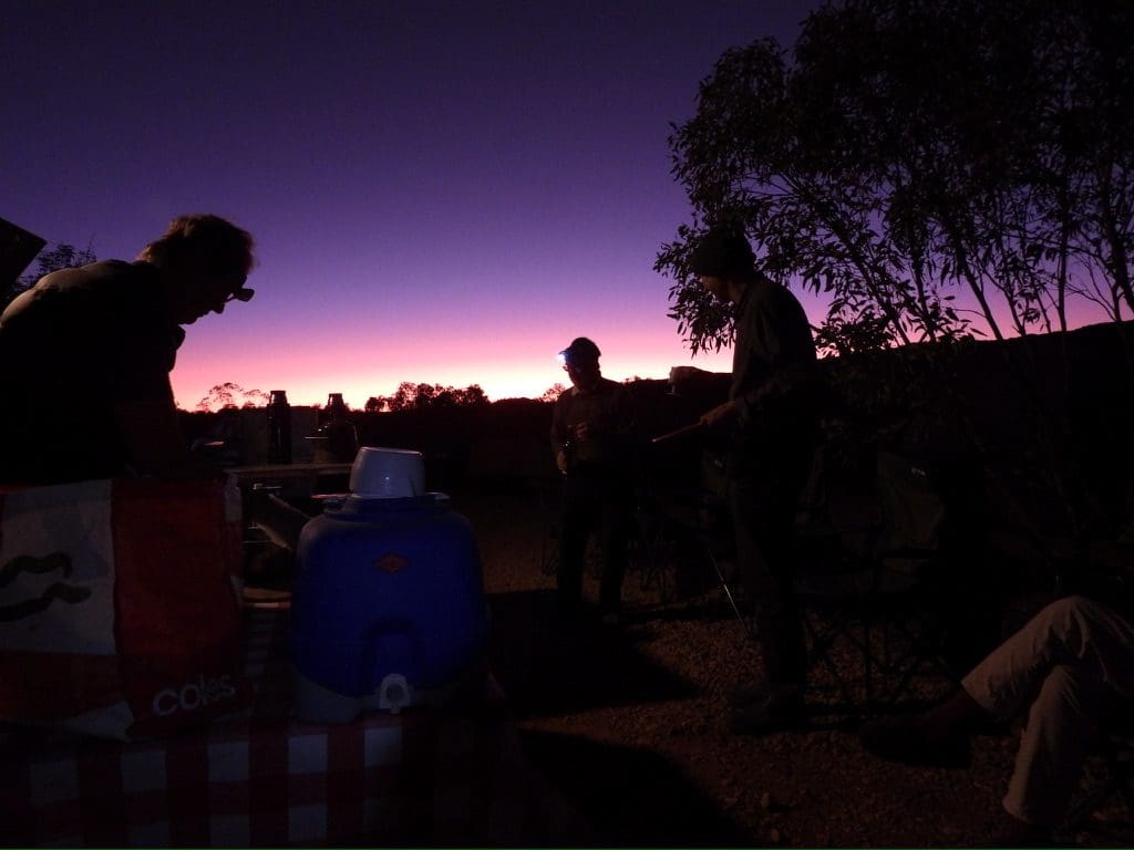
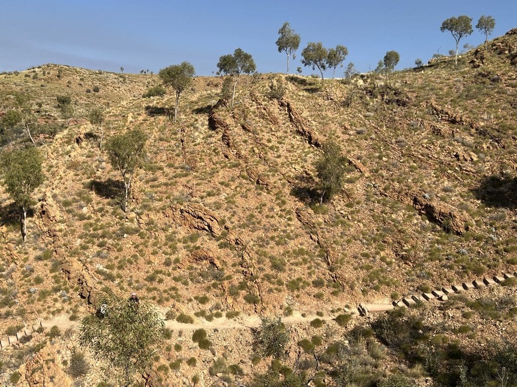
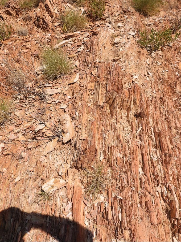
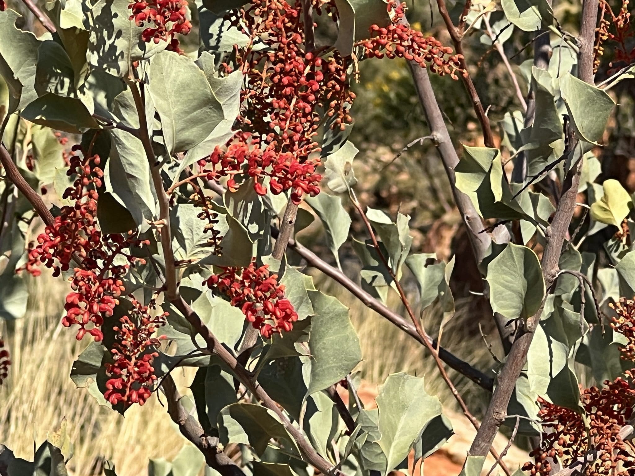
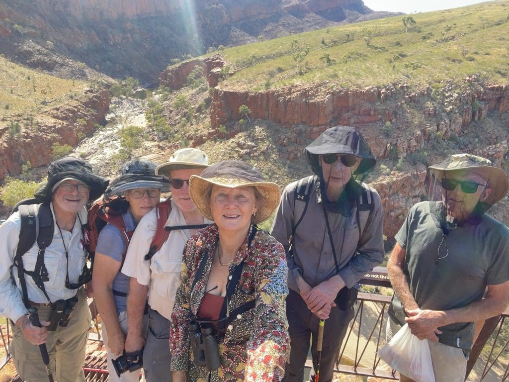
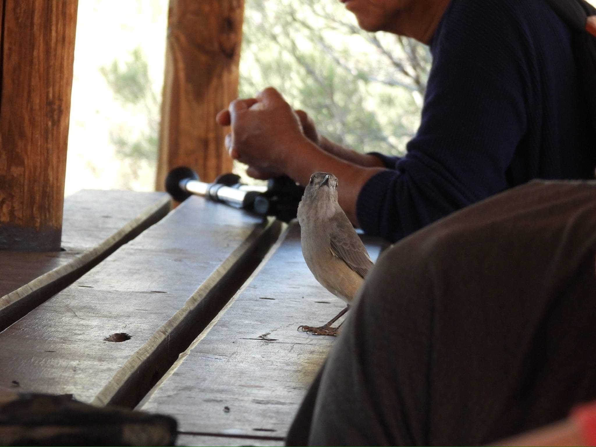
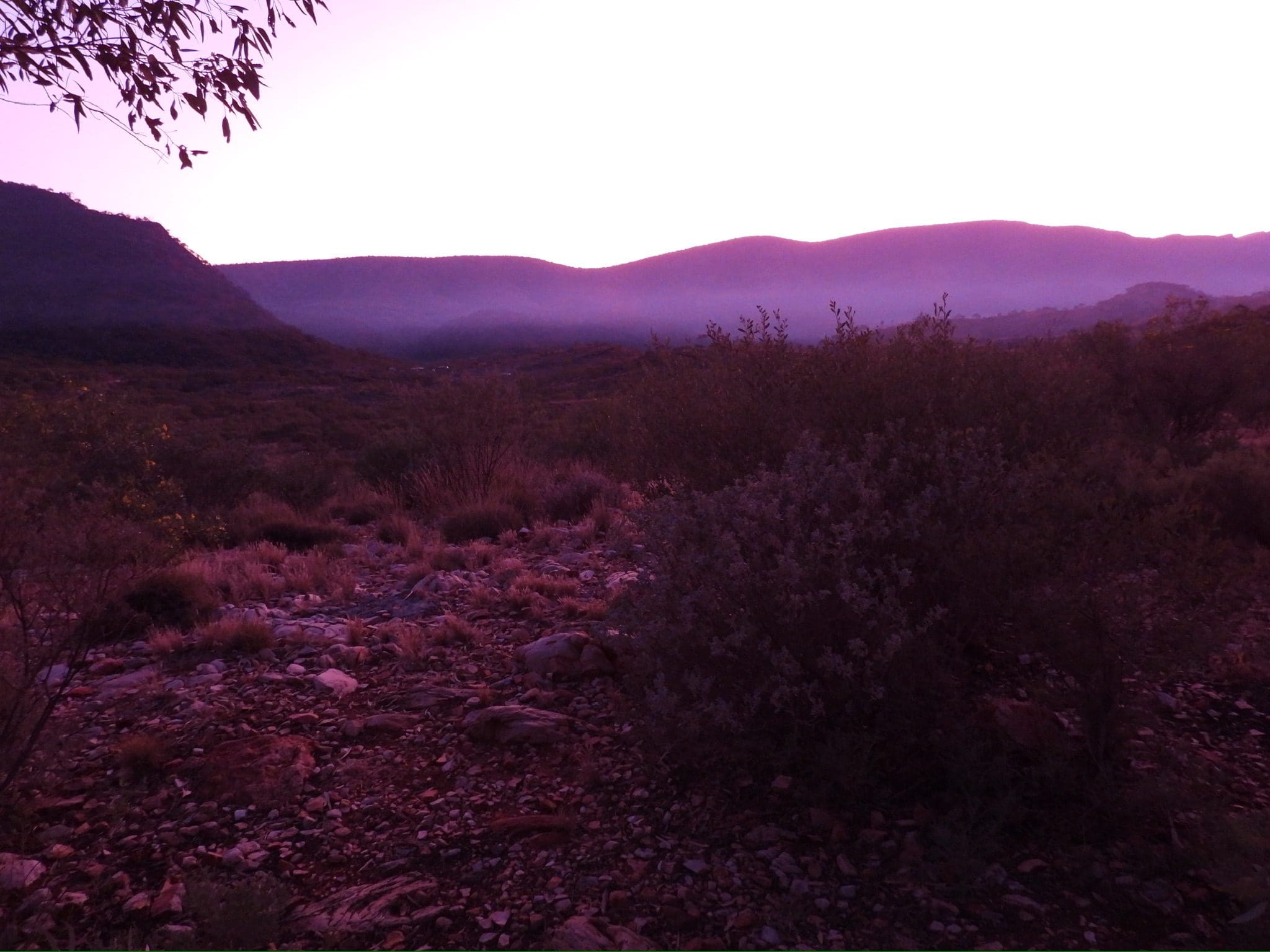
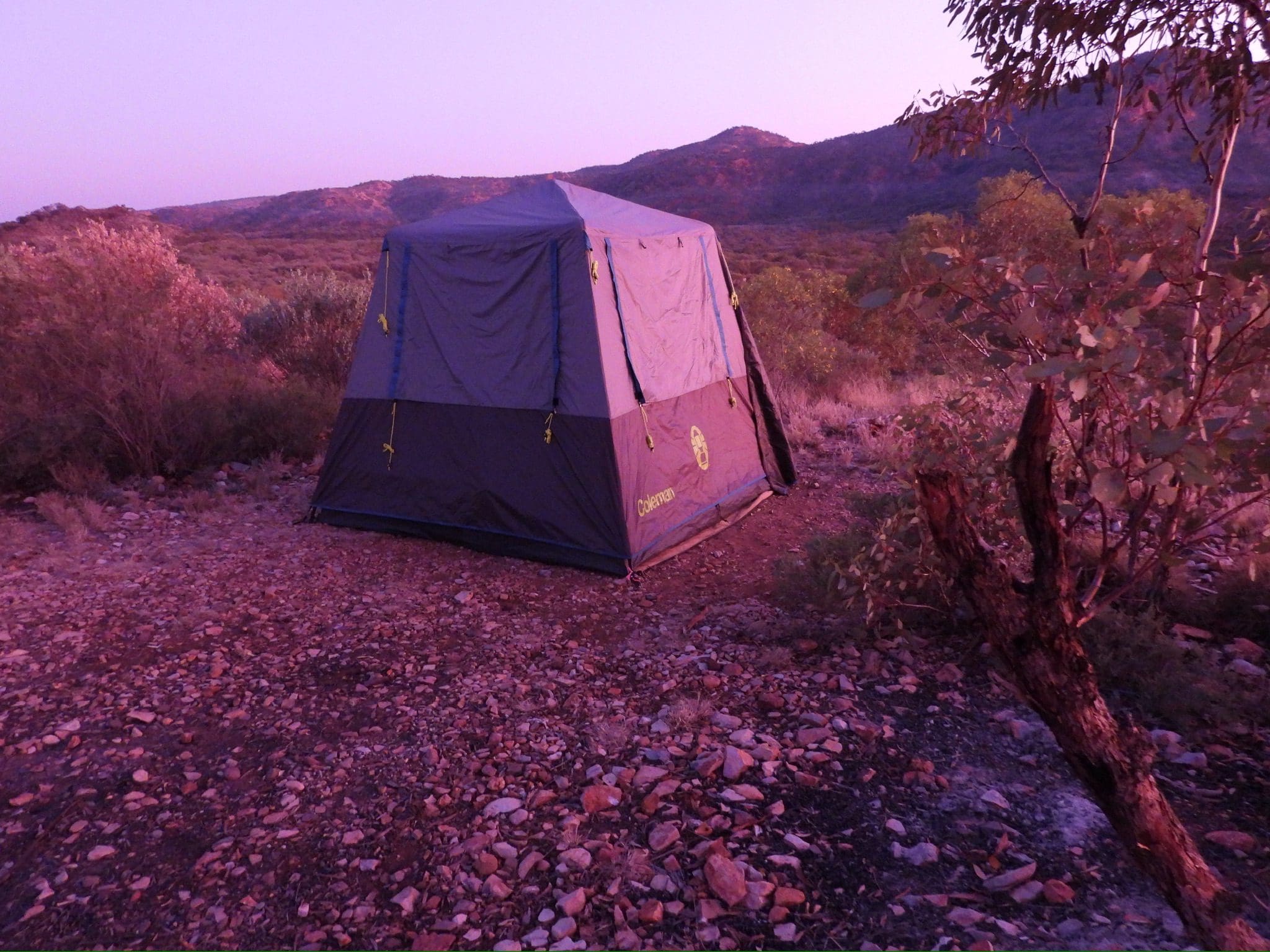
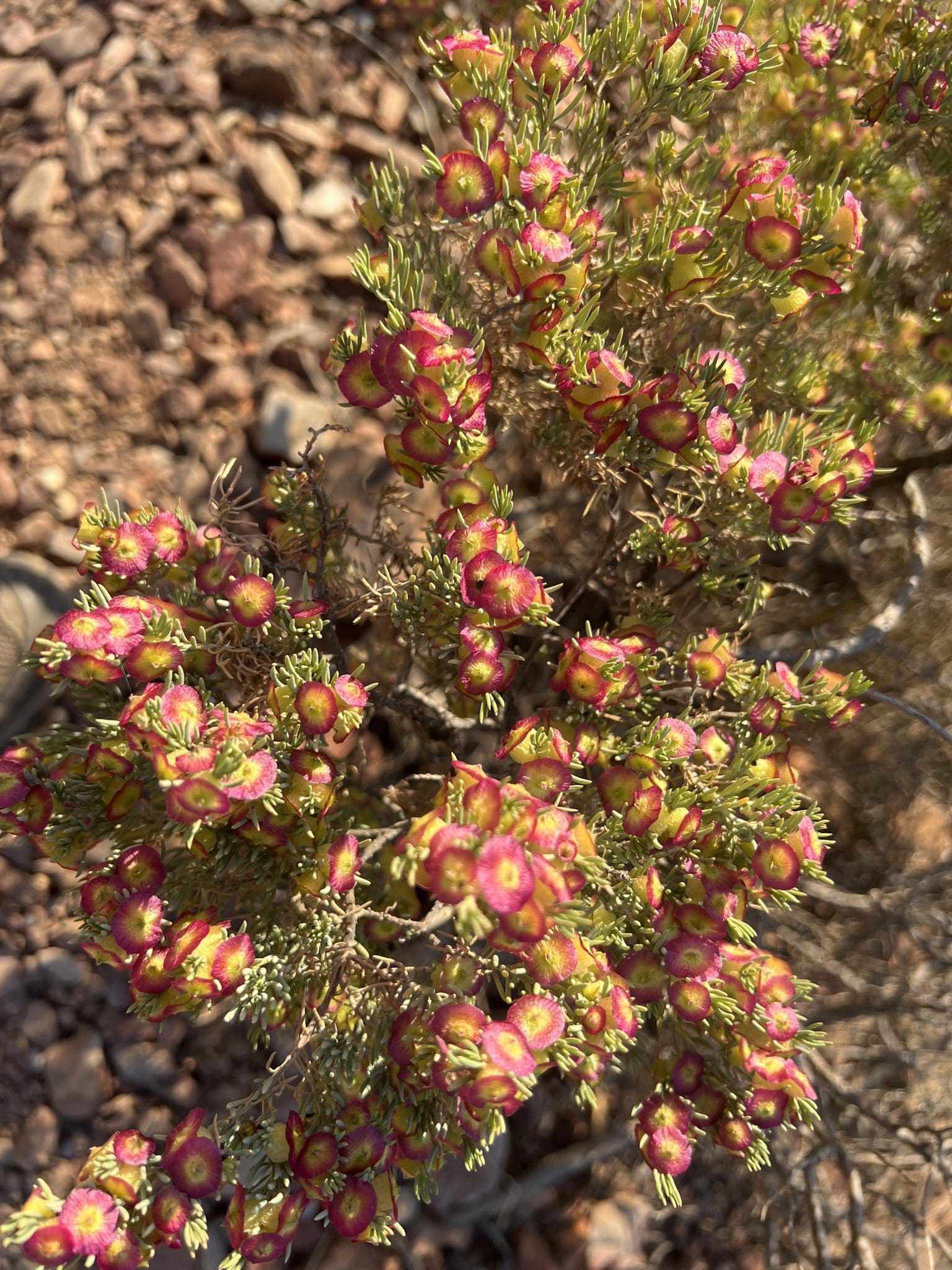
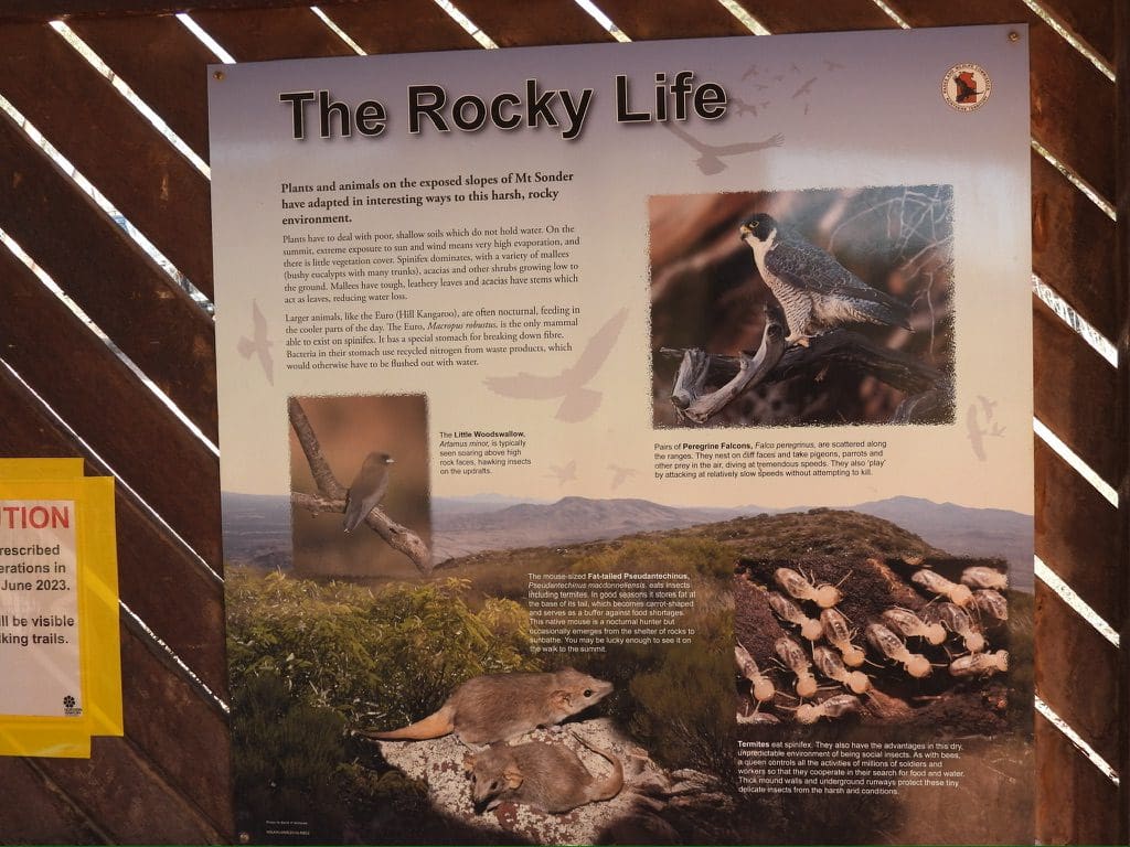
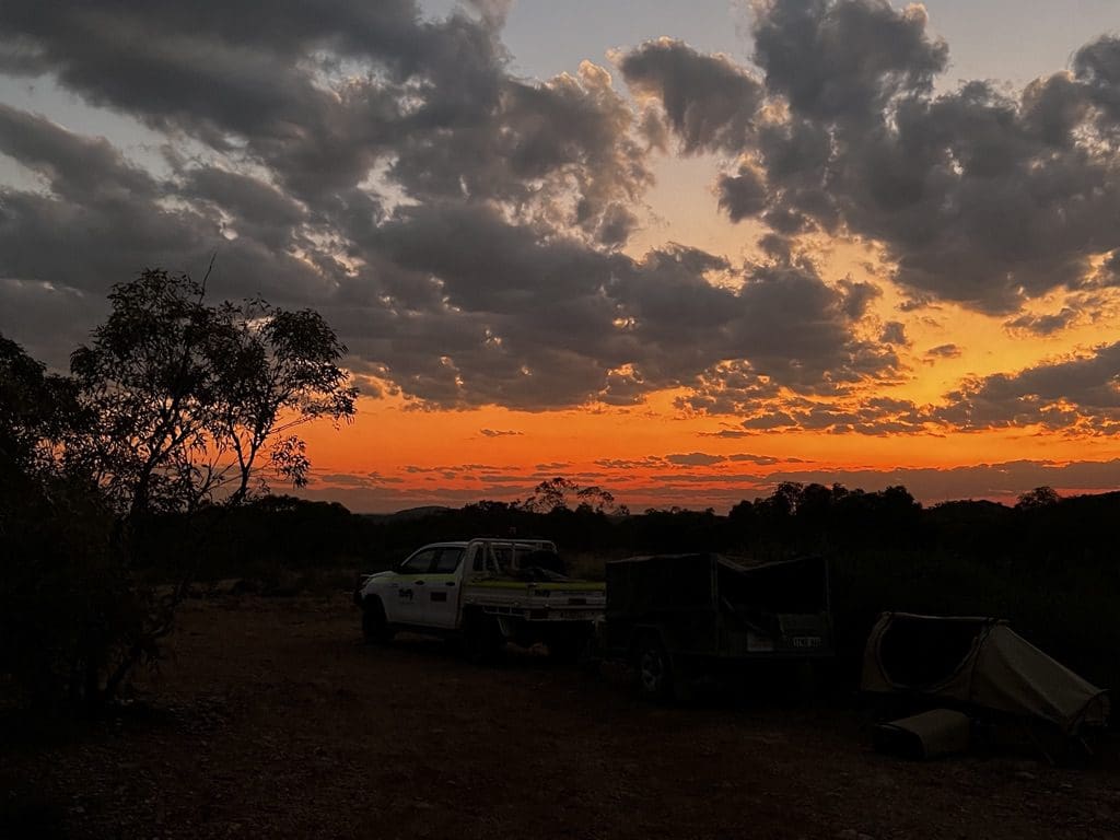
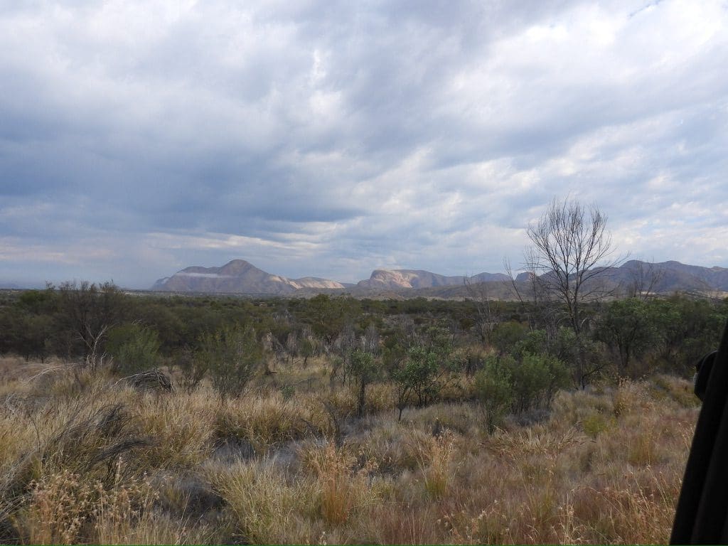
Wednesday 24 May. Day 1. Up at 5:55am. Quick walk to Stumps Cafe for an excellent breakfast. Packed for our pick up at 7:45am. Drive SE on a goodish road through some interesting geology with vertical folds making up the low hills. Stopped at Santa Teresa to visit the excellent Ltyentye Apurte Community (Keringke) Art Centre with its very distinctive style and bold colours. Very colourful work. Bought a painted kangaroo (to be posted to Wagga). The Spiritual Centre is also an art centre with excellent printed silk scarves. Then on to Old Andado. Along the way we passed over/along a water channel with trees – eucalyptus (red river gum, coolibar) and a weeping acacia. Quite a few nests. Budgerigars in prominent flocks so there must be water. Soon after our roadside lunch break, we came to the Rodinga Range. Not very high but a long, straight barrier against the Simpson Desert to the south. Once through a couple of gaps through the ranges, we followed a swale between fixed longitudinal sand dunes for almost 200km to Old Andado. Vast plains without a shrub let alone a tree. Very late afternoon we stopped at Mac Clarke Peuce Conservation area to see the extremely rare Acacia peuce plants – an ancient acacia. We pitched camp right on sunset at the base of the first dune to the west of the peuce. We are about 37km short of Old Andado. Cool begins 45mins after sunset. In tent and bed at 9pm. Tour members are Diana (leader), Terry (offsider), Peter, Robert, Helen and I.
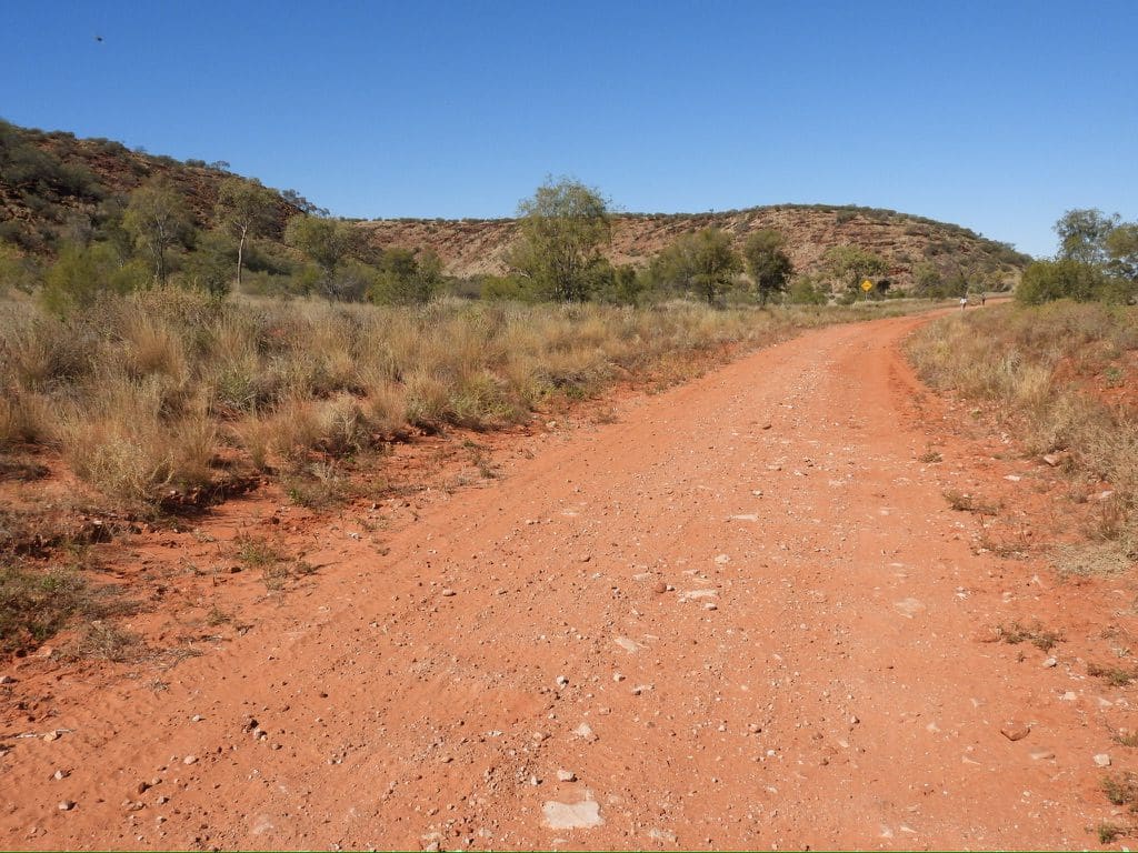

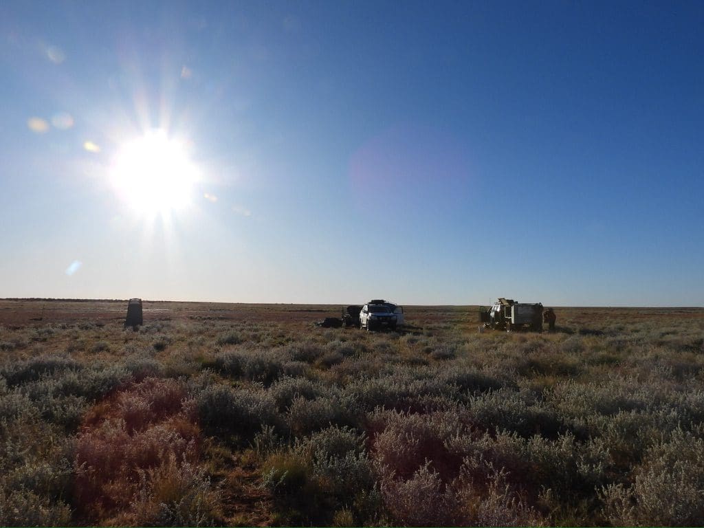
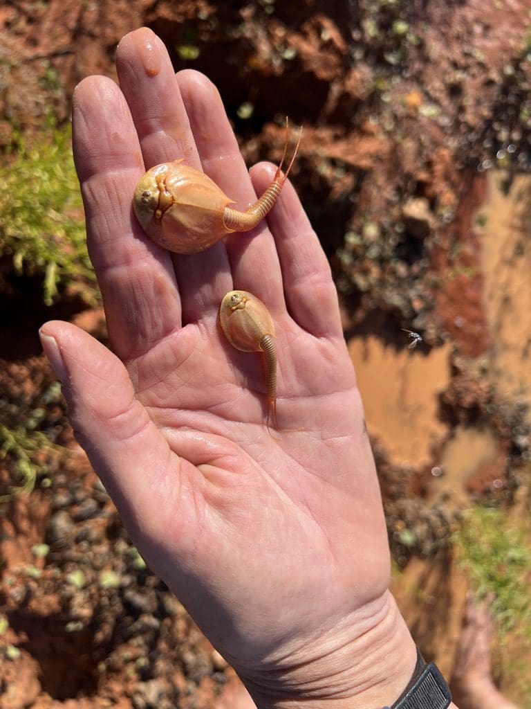
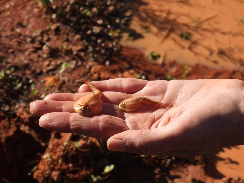
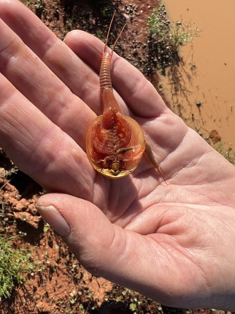
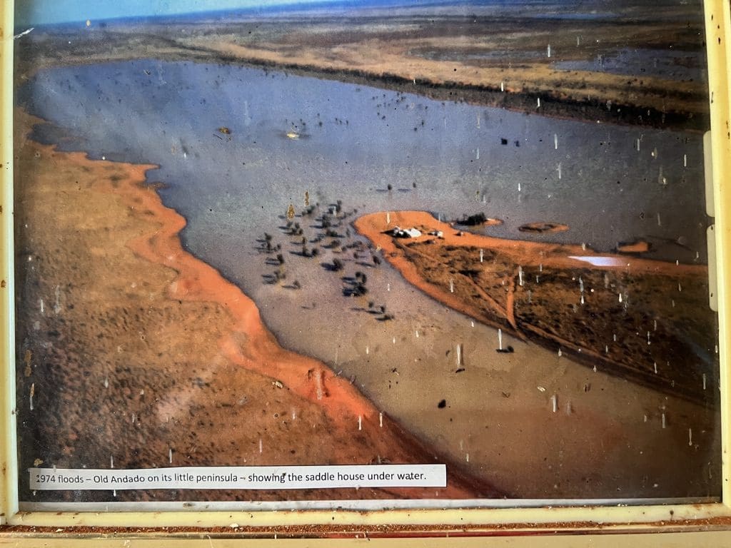
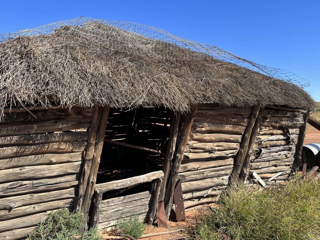
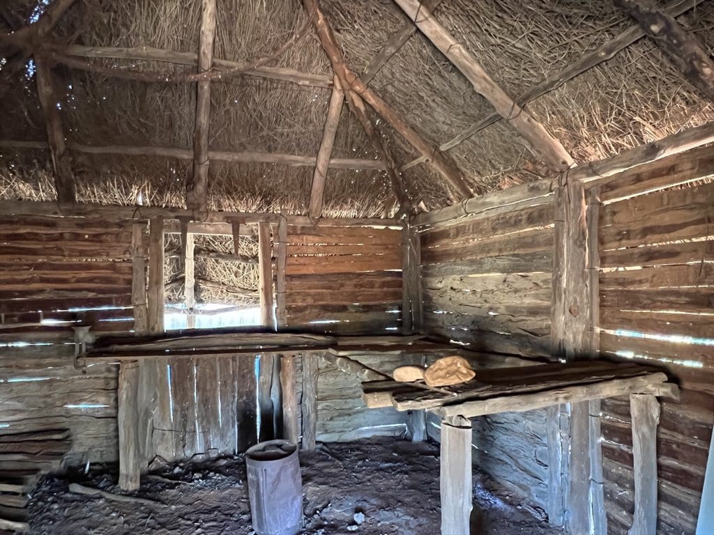
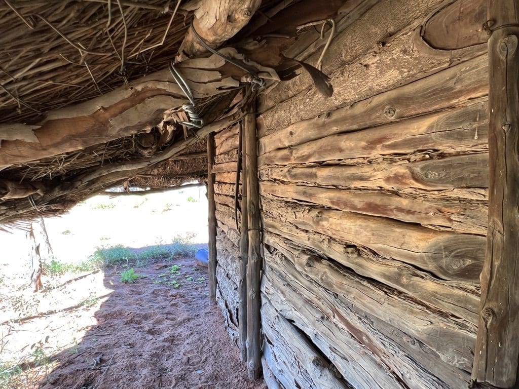
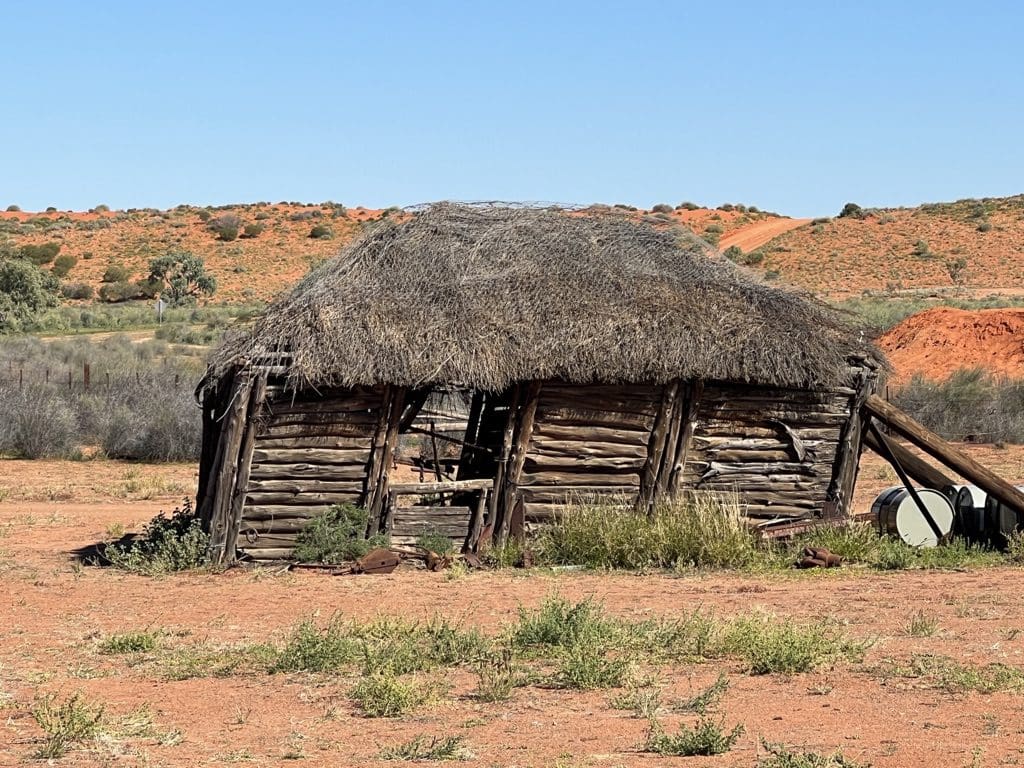
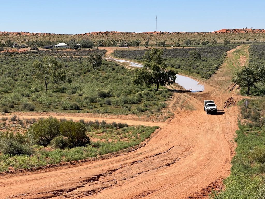
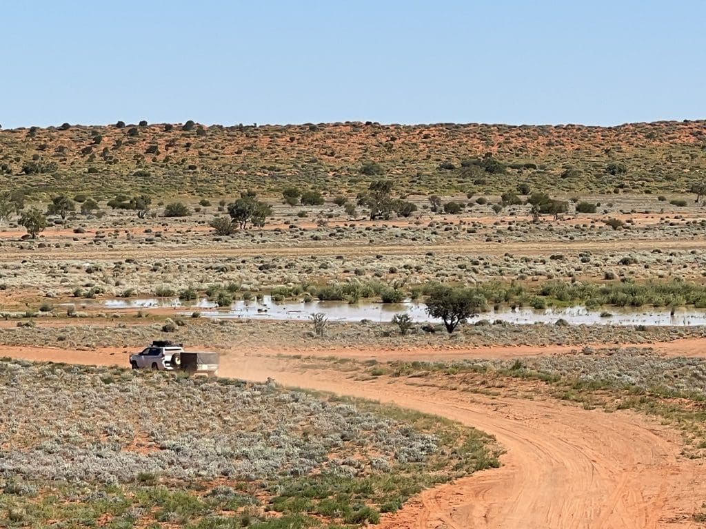
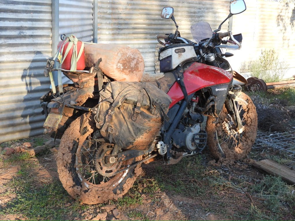
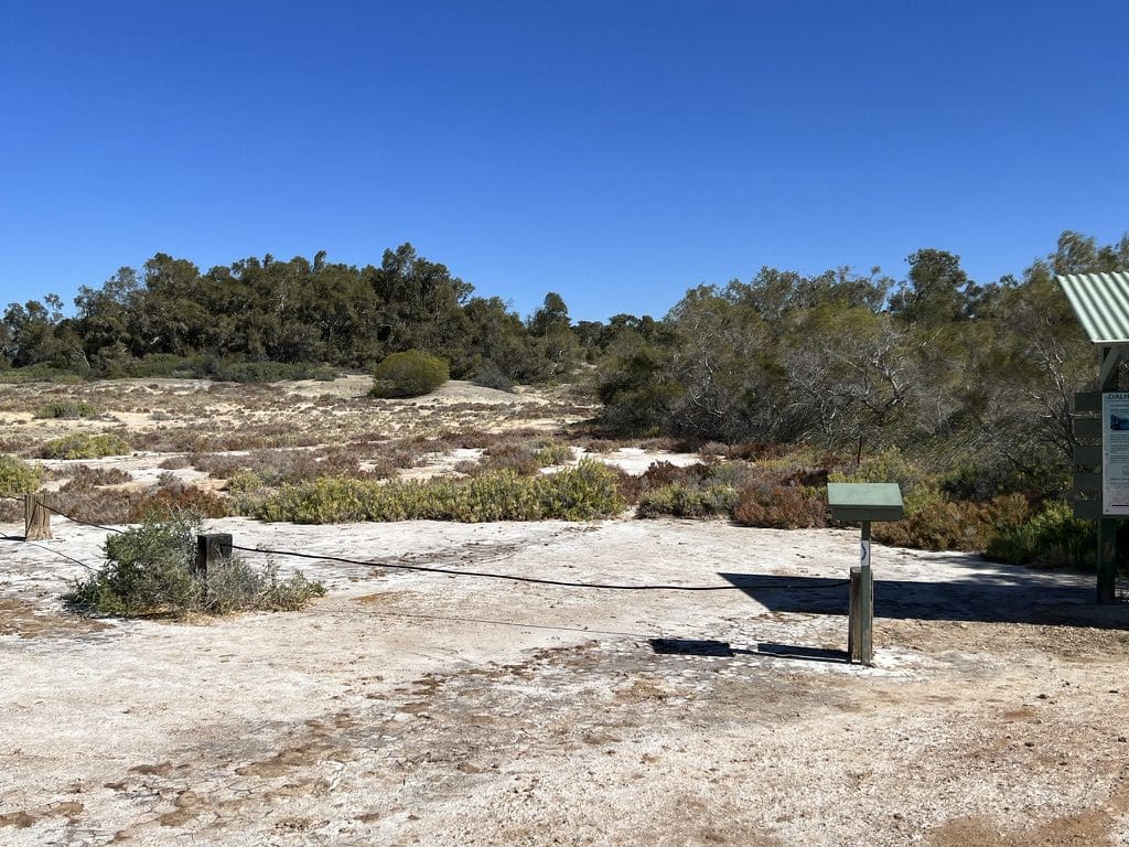
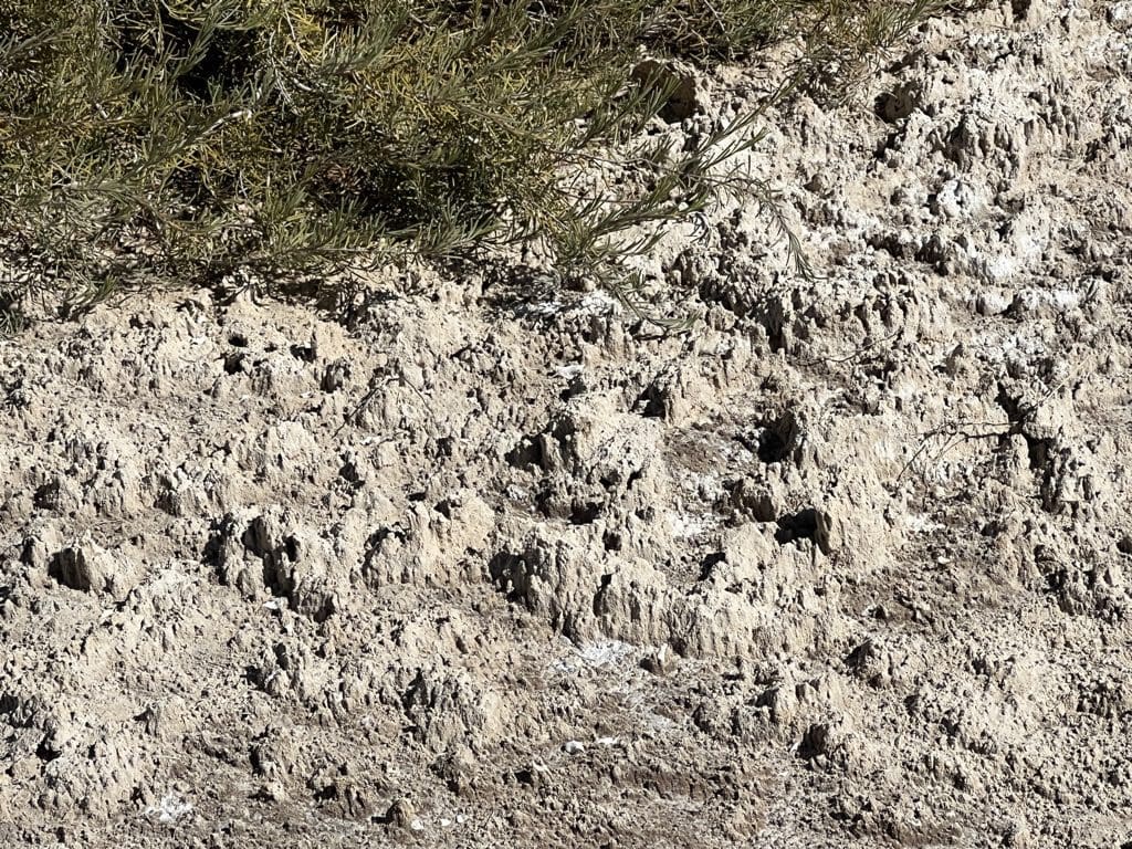
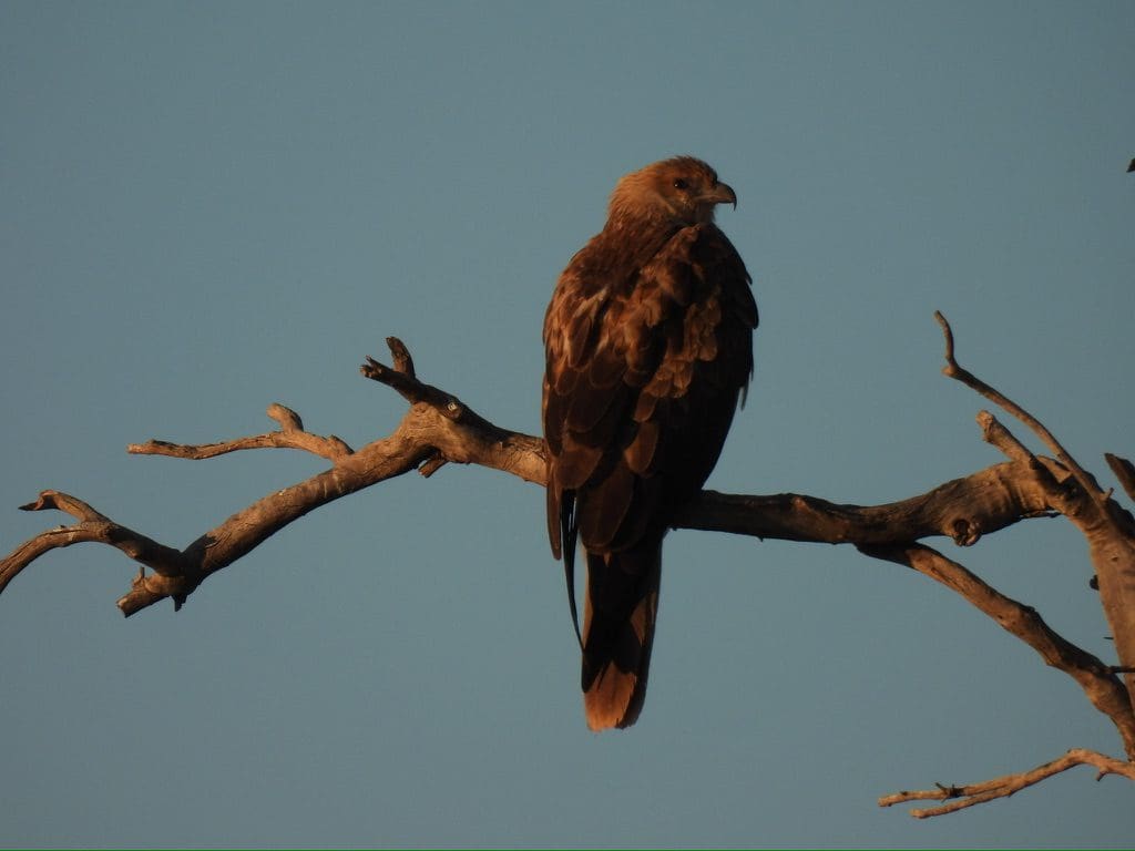
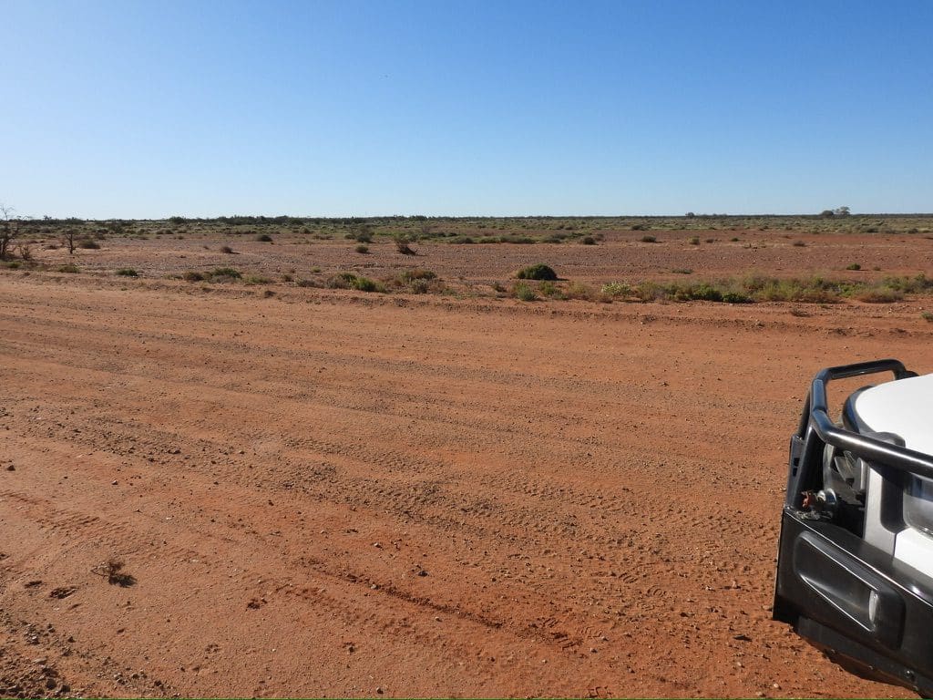
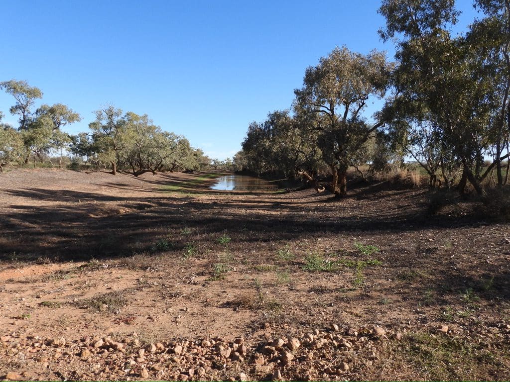
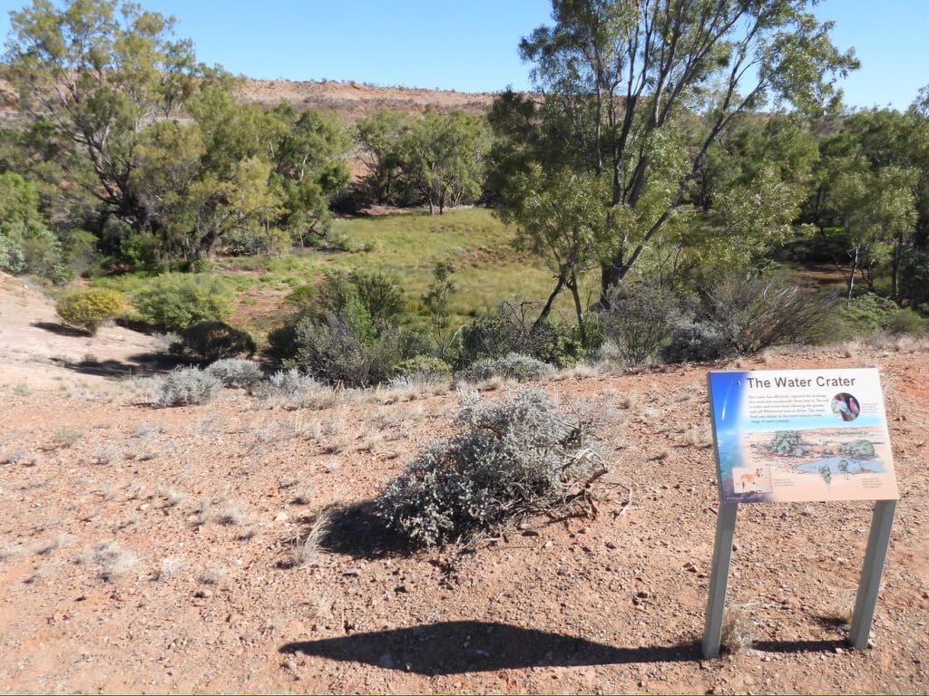
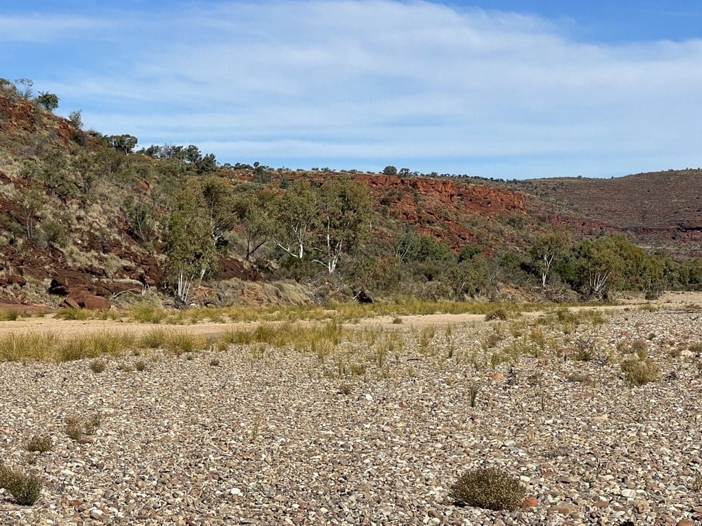
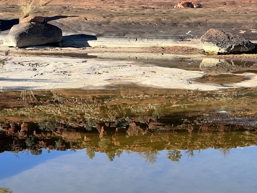
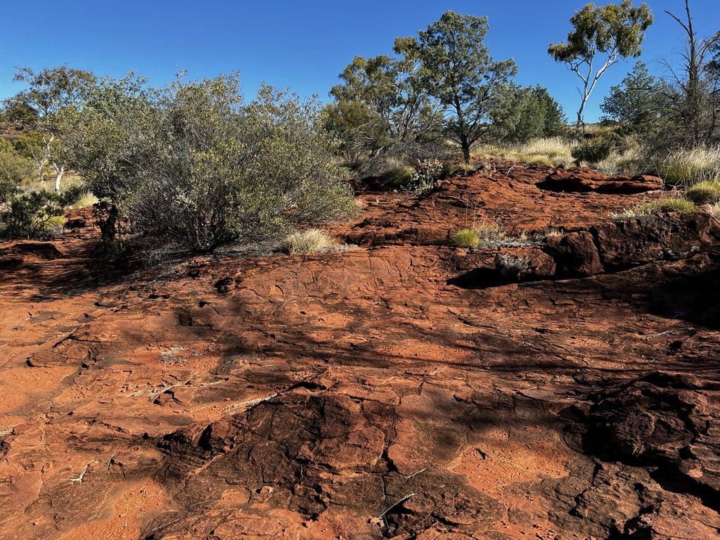
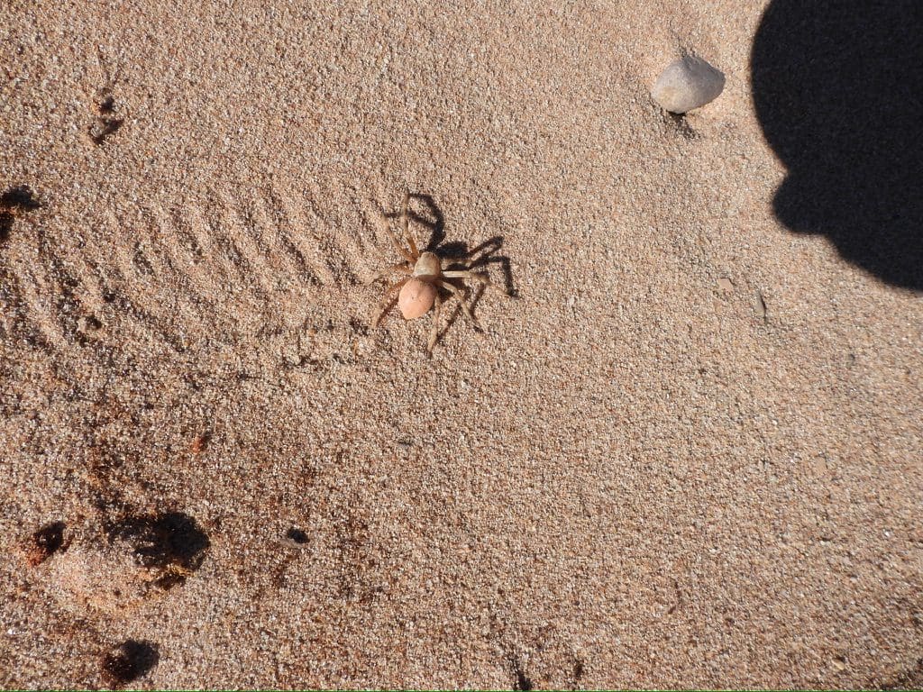
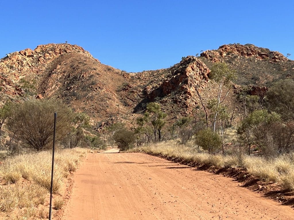
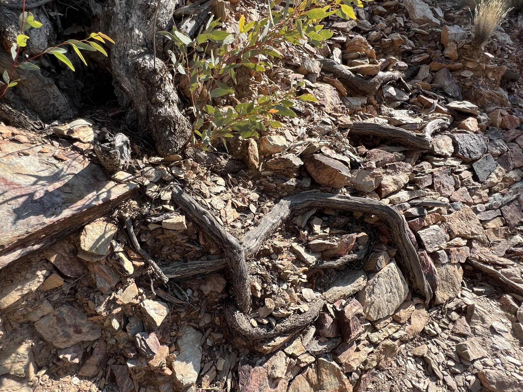
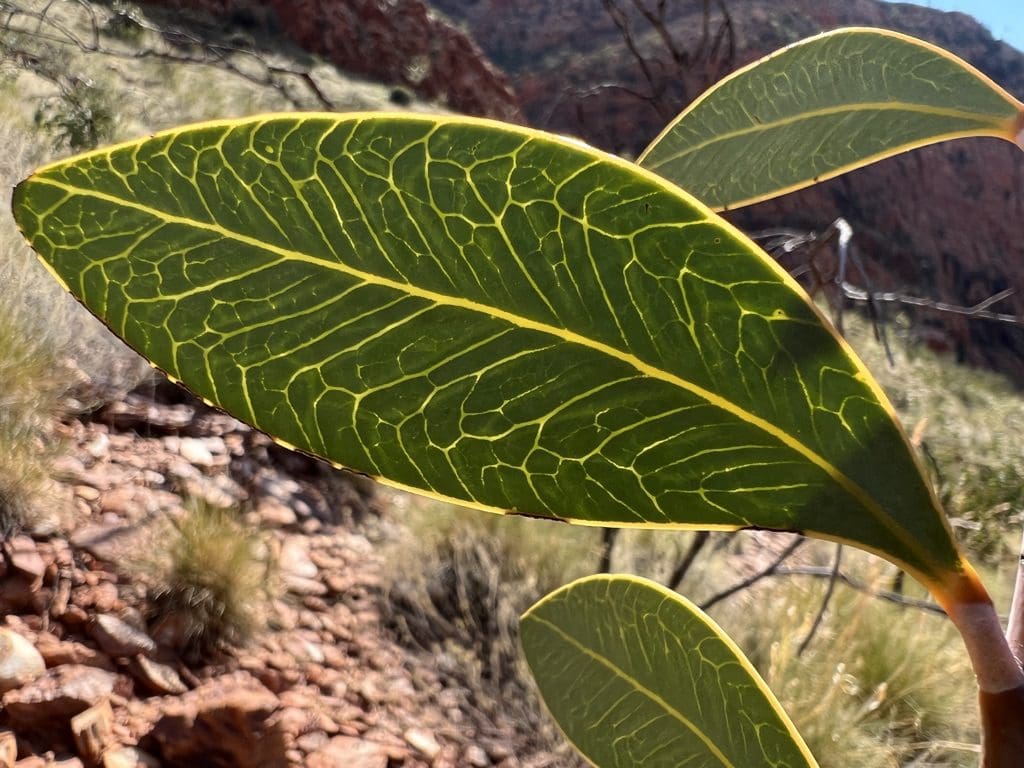
Thursday 25 May. Day 2. 6:15am start – packing gear back into bags, sleeping bags stuffed, sleeping mats rolled, stretchers collapsed, tent rolled and packed. Breakfast. Trailer packed. At 7:40 we began walking towards a pool we had noticed yesterday. We were hoping for birds and found shield shrimps. Drive south along swales between Simpson Desert dunes. Stopped at Old Andado for morning tea. Fly nets out. Old Andado is surrounded by lignan swamp. Helen found a photo of it surrounded by flood water in 1924. From there, on to Mt Dare with its levees to protect it from the surrounding creek where we arrived at 5pm. (As we passed south of the small community of Finke we were close to the geographical centre of Australia.) Topped up fuel. A sign on the hotel notice board to say the Simpson track is closed. On to Dalhousie for the next three nights. Not!! Just after I had written the above, as we were about to cross a grid, the fuel tank fell out of our vehicle and all that diesel fuel poured out onto the road. Major problem. Terry our driver strapped the tank up and away from moving parts to get us 35km back to Mt Dare. By the time we reached Mt Dare, we had very little fuel left. We have our tents up by 6:30pm. Meal at Mt Hotel at 7:30. Back to camp at 9. A very big day. The number of photos in the gallery above and below gives an indication of how interesting this country is.
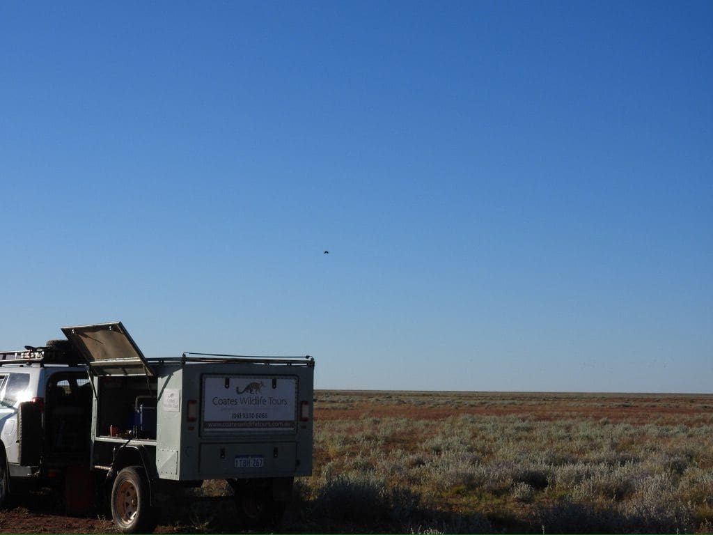
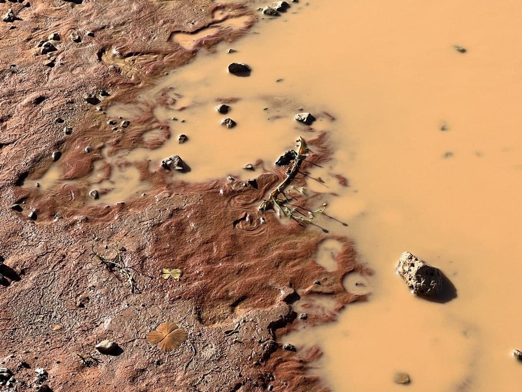
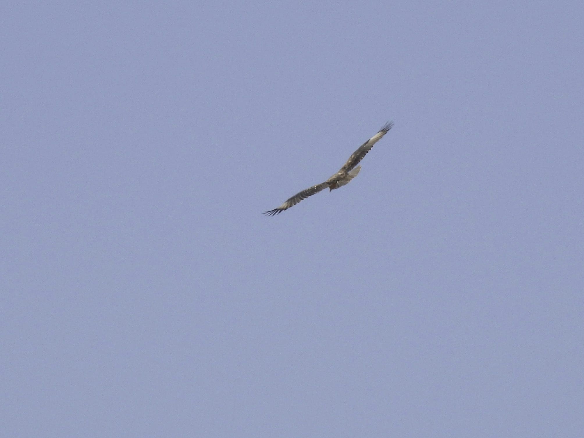

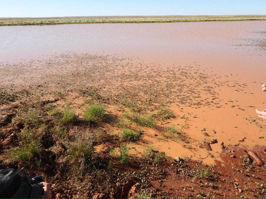
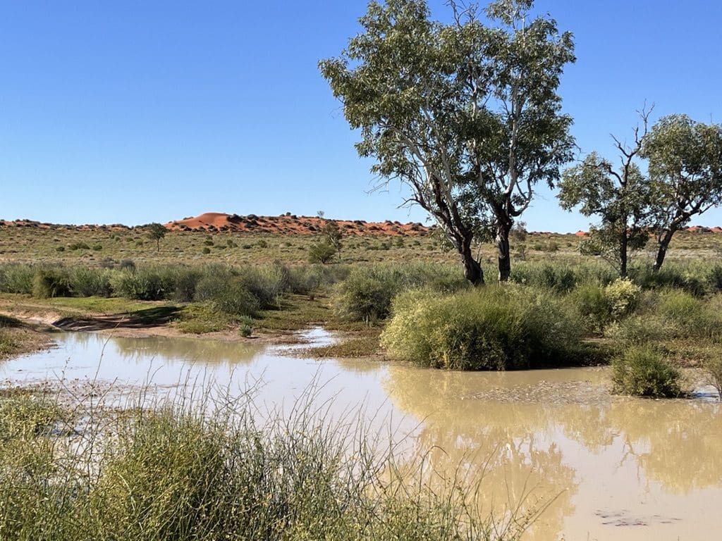
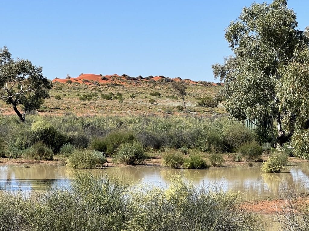
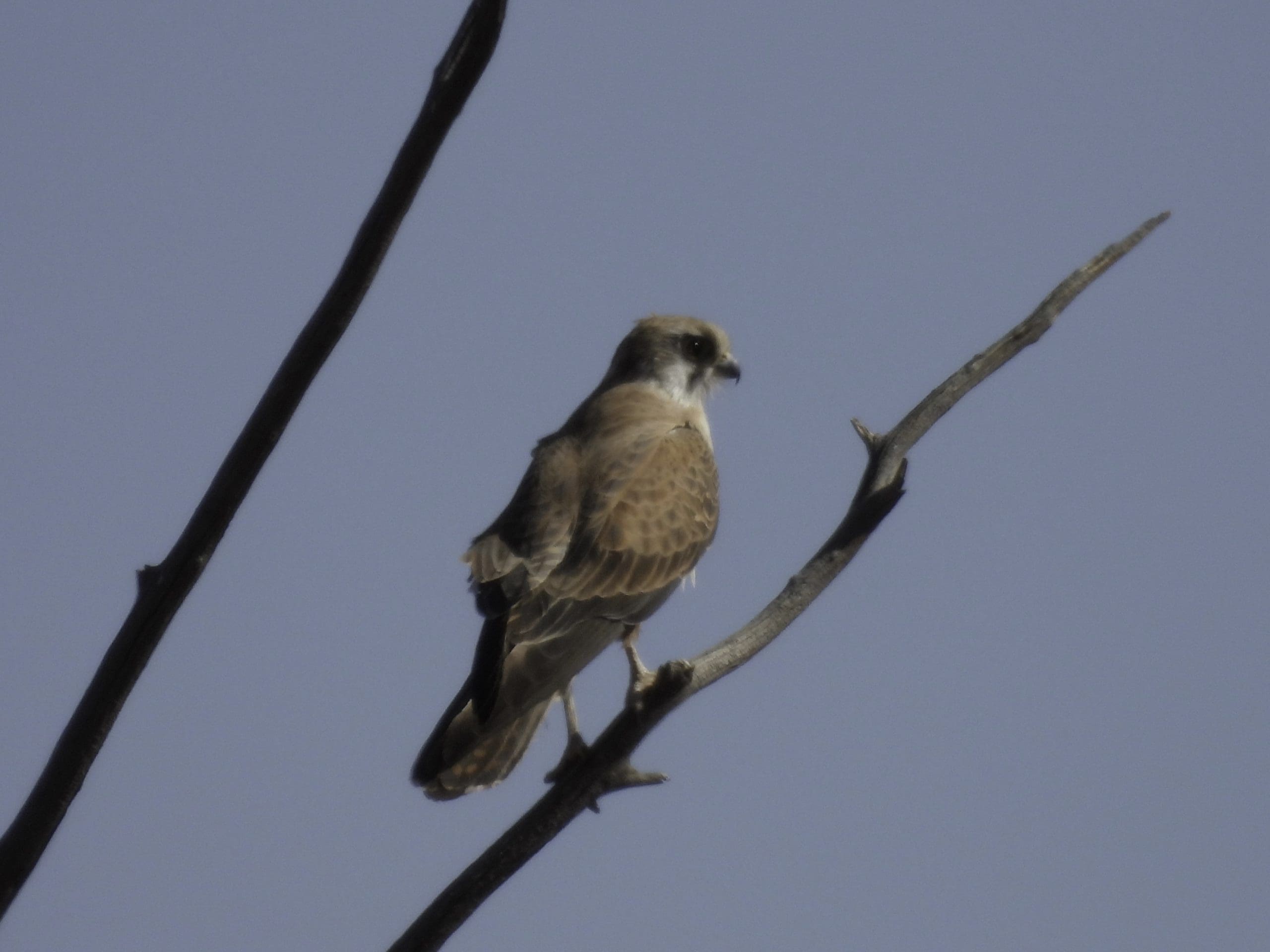
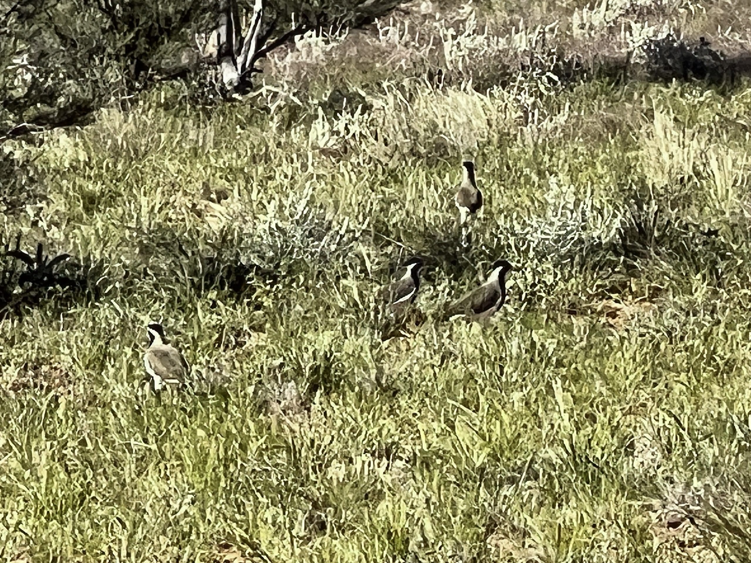
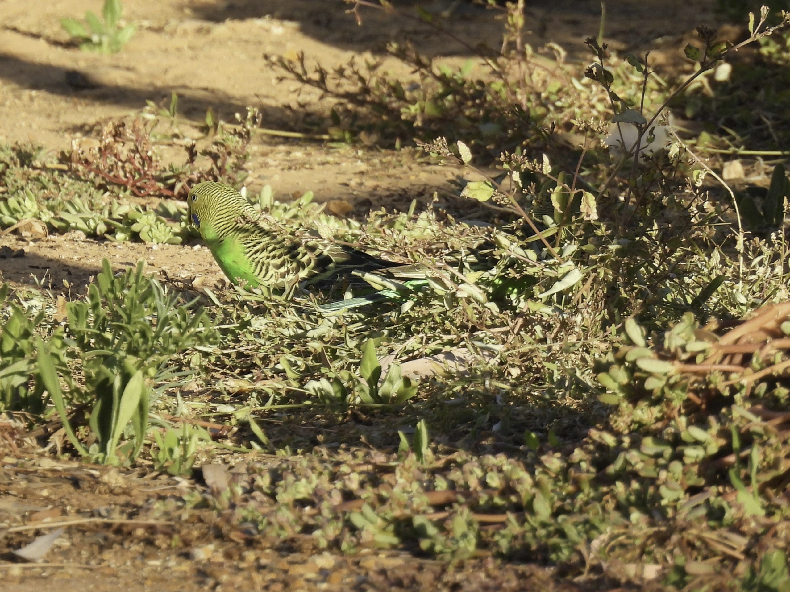
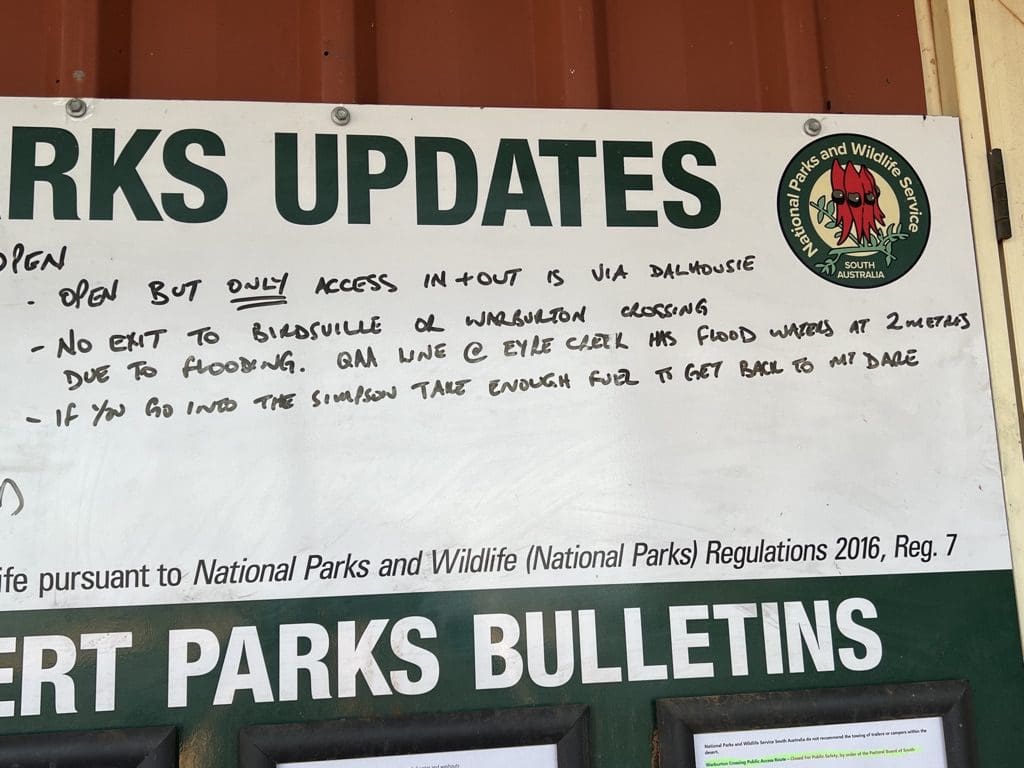
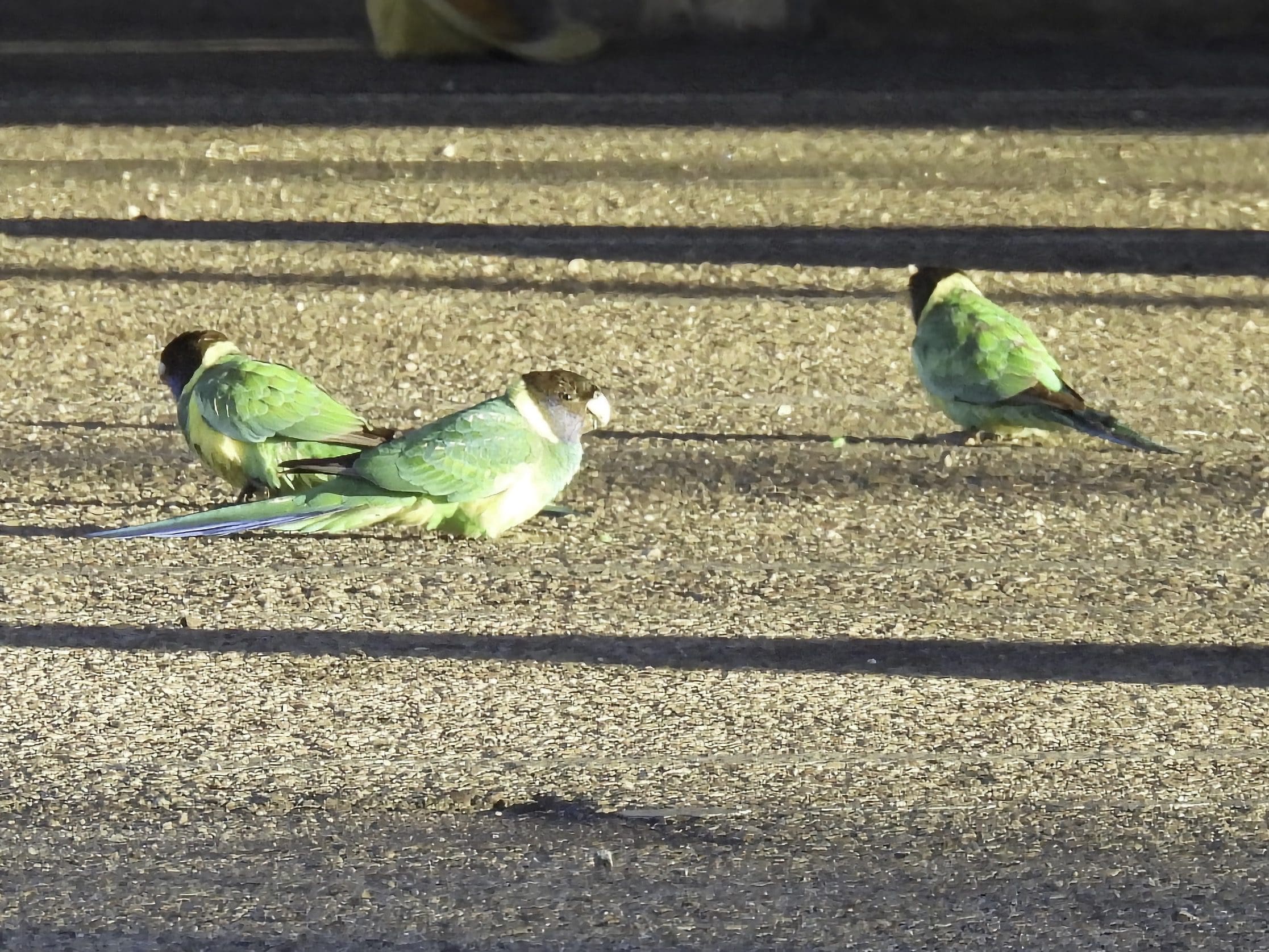
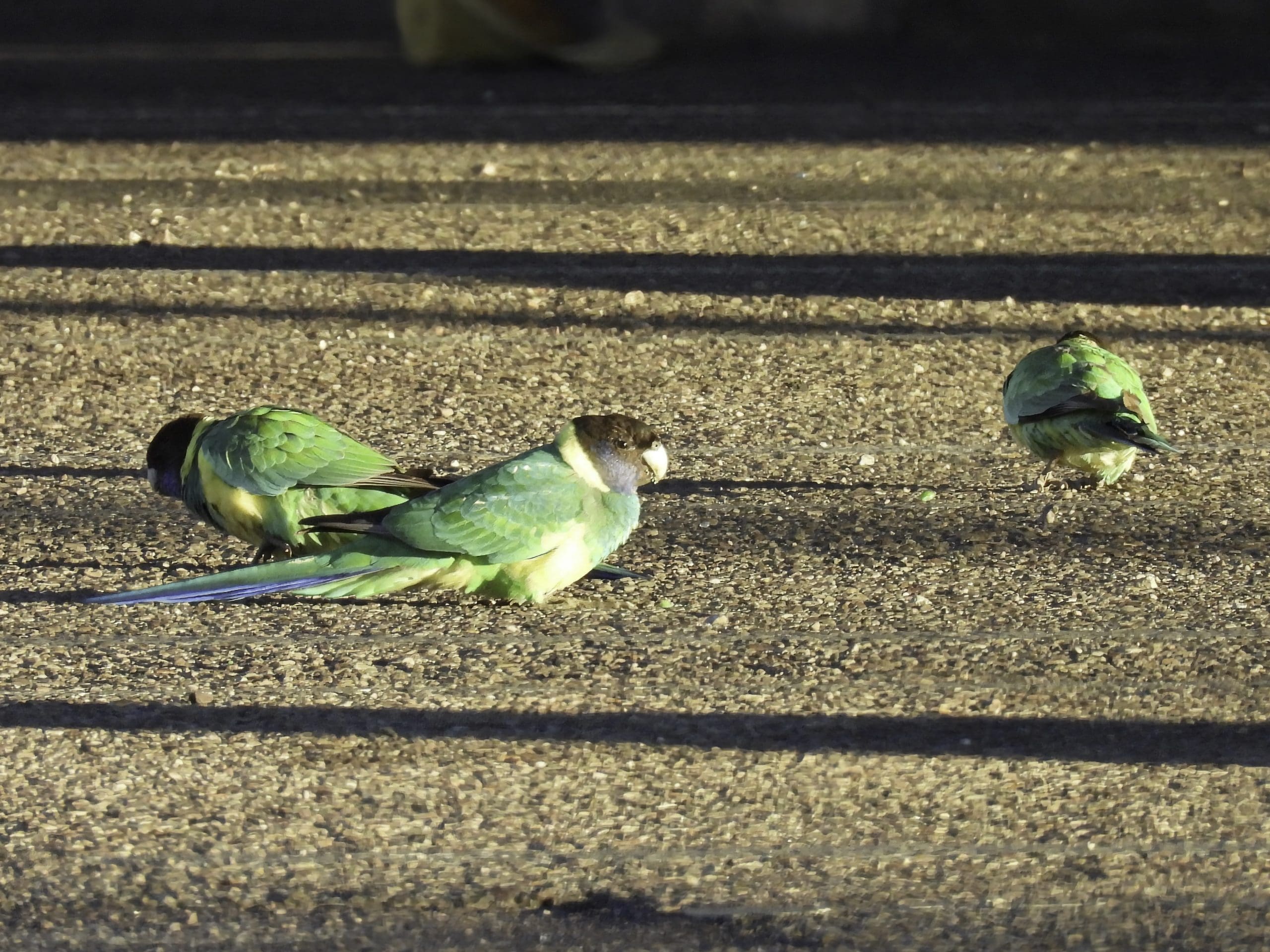
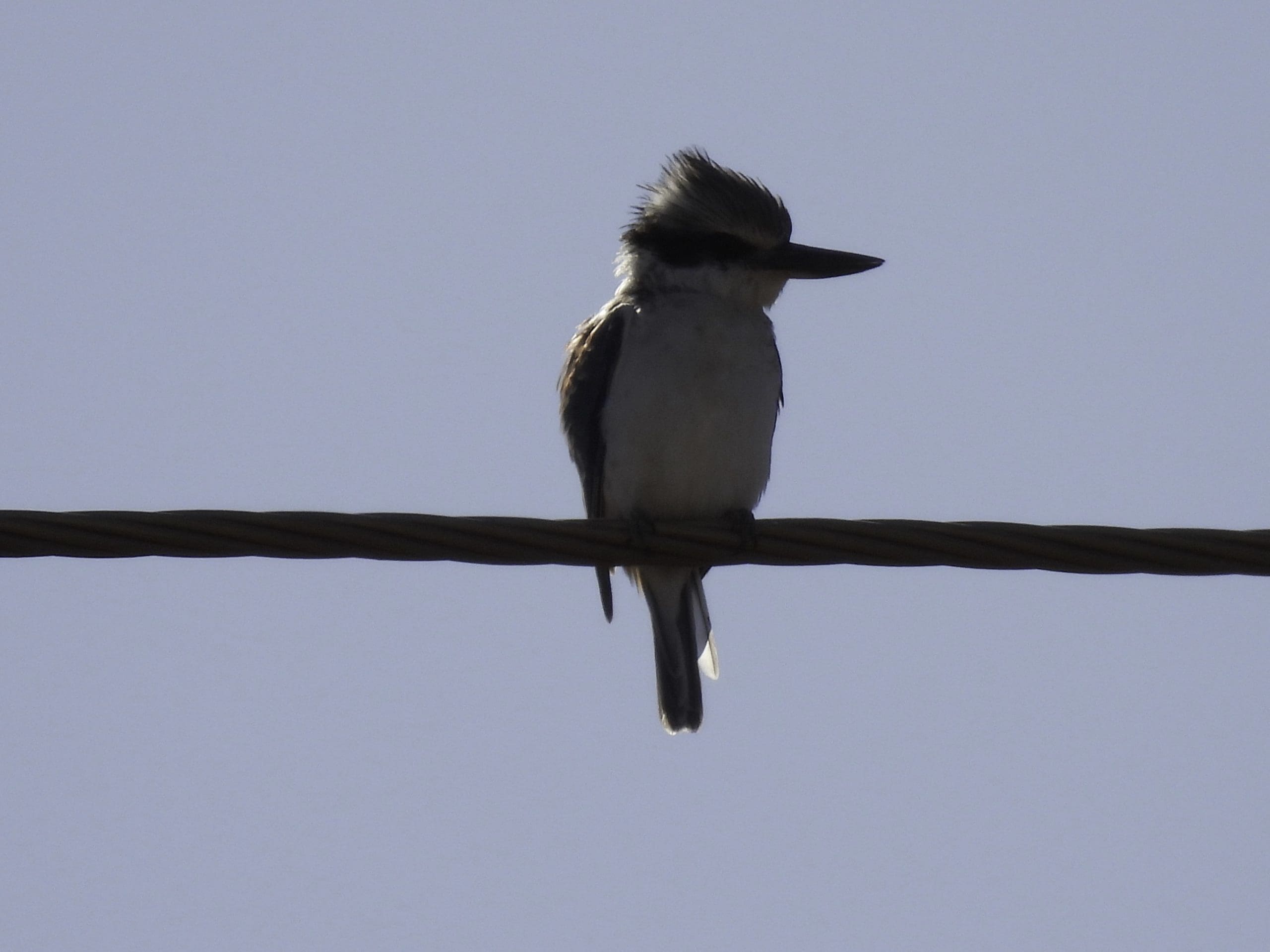
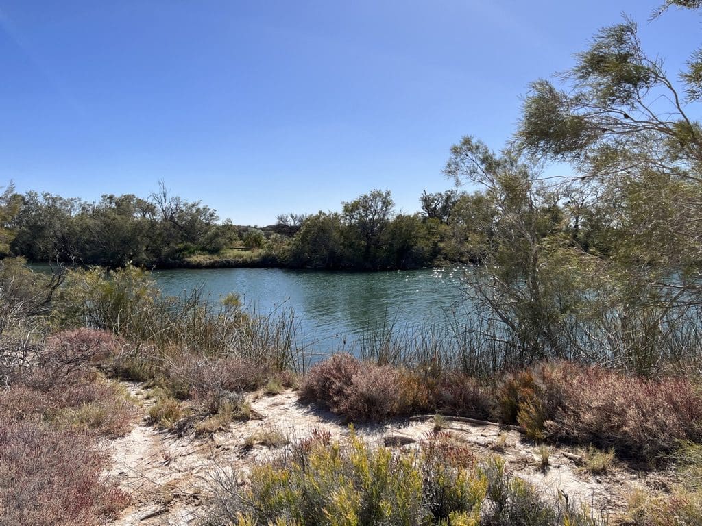
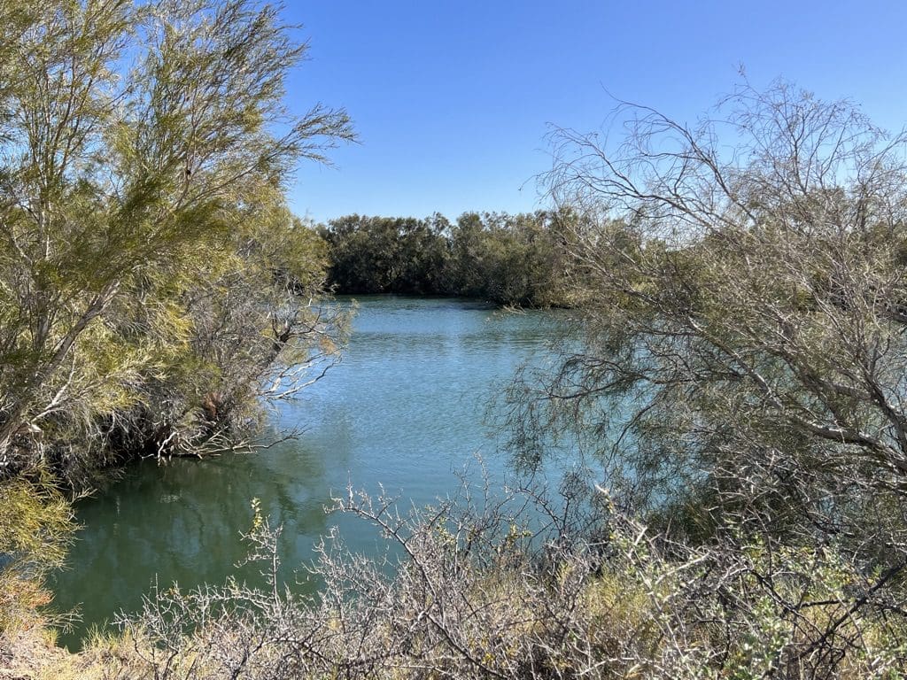
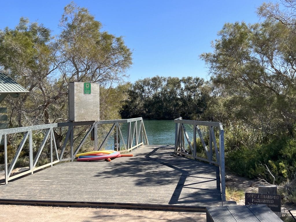
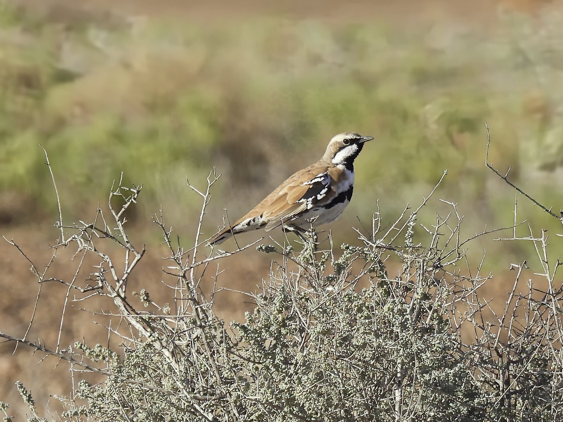
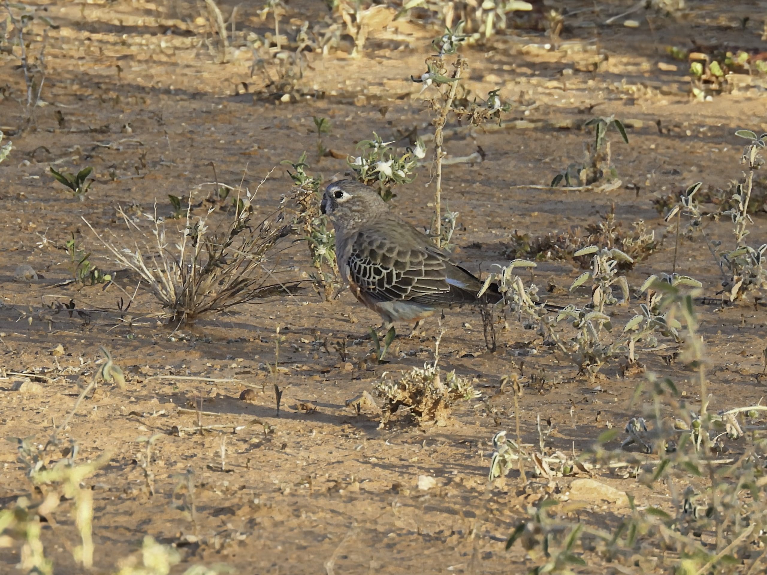
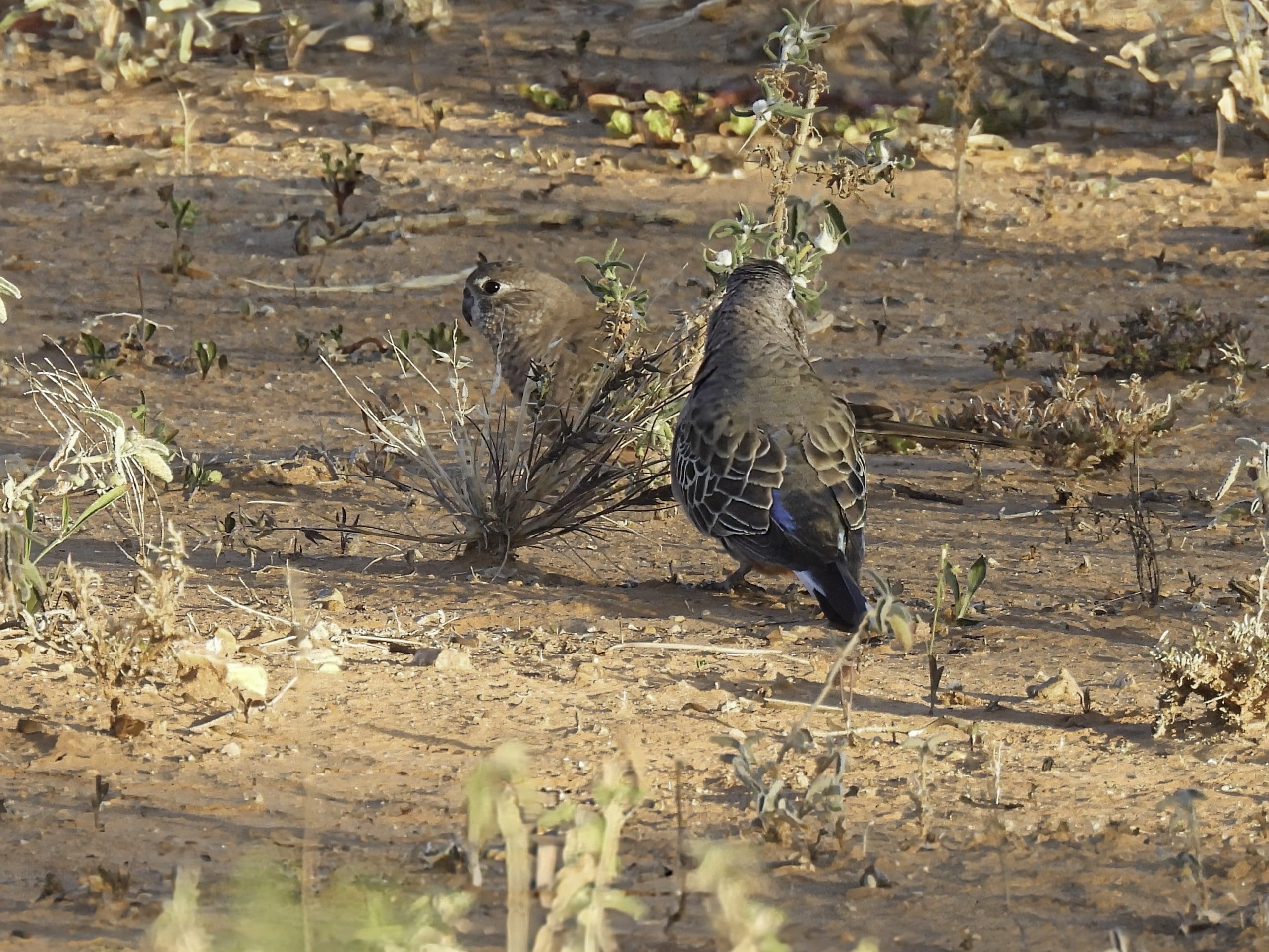
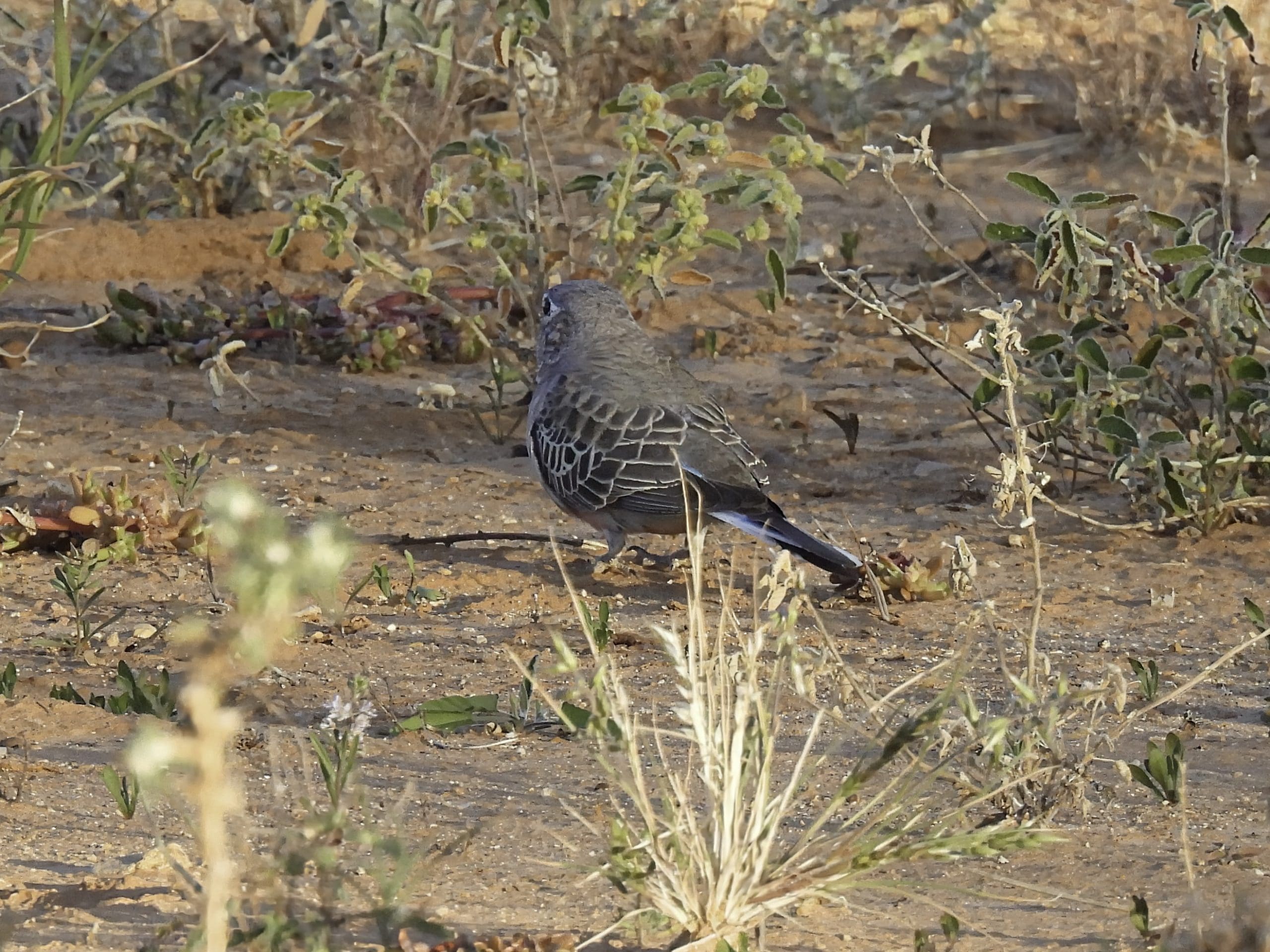
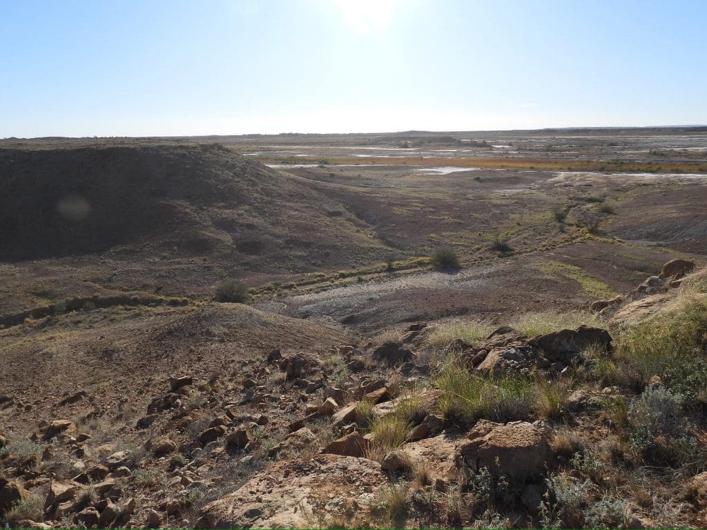
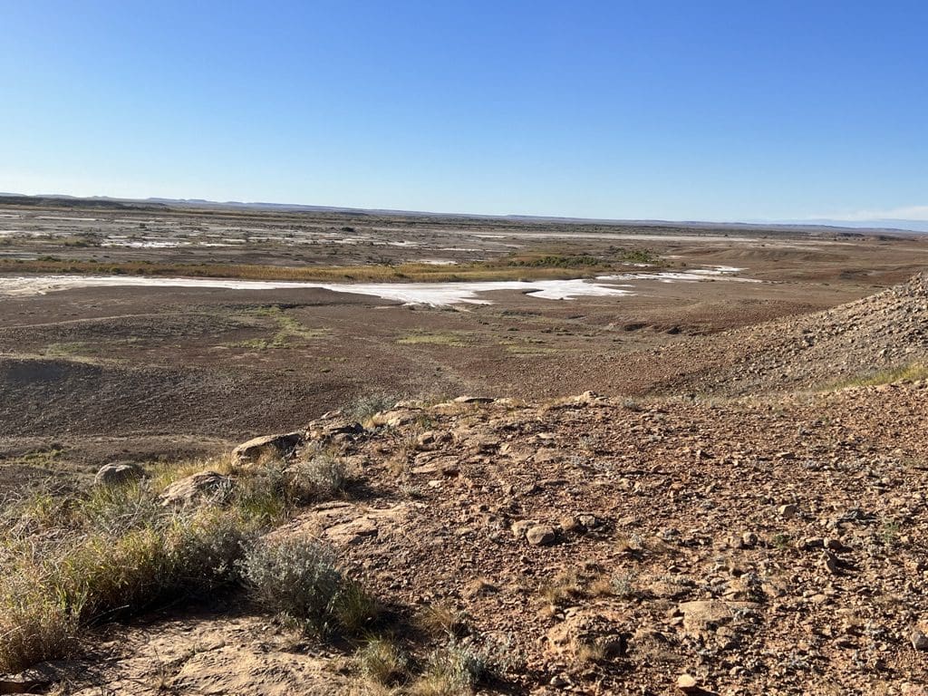
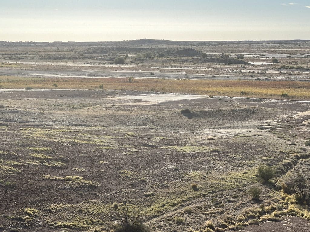
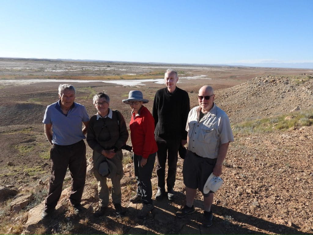
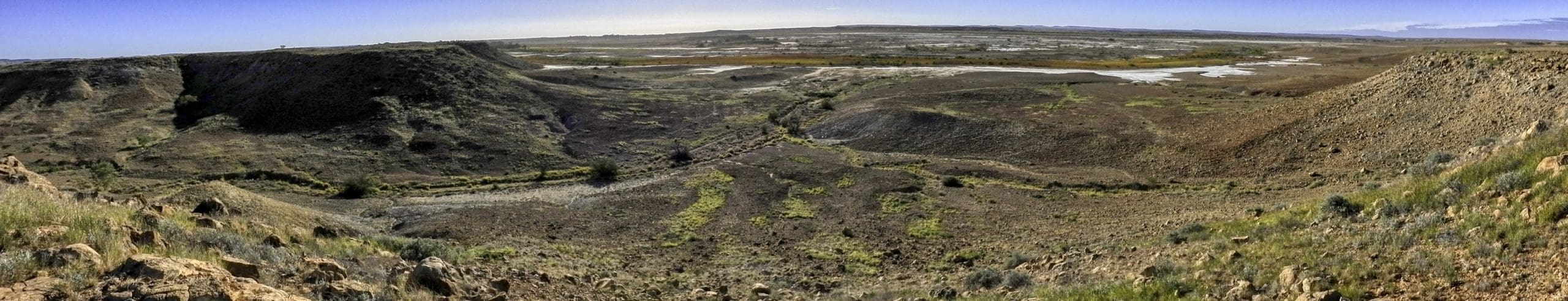
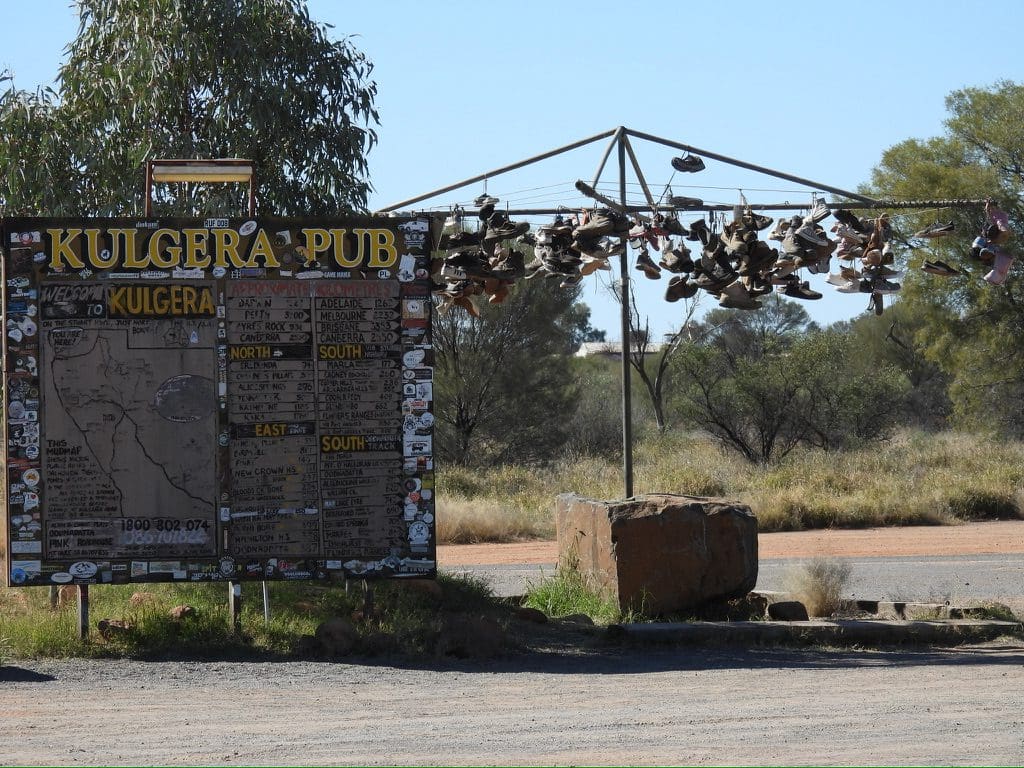
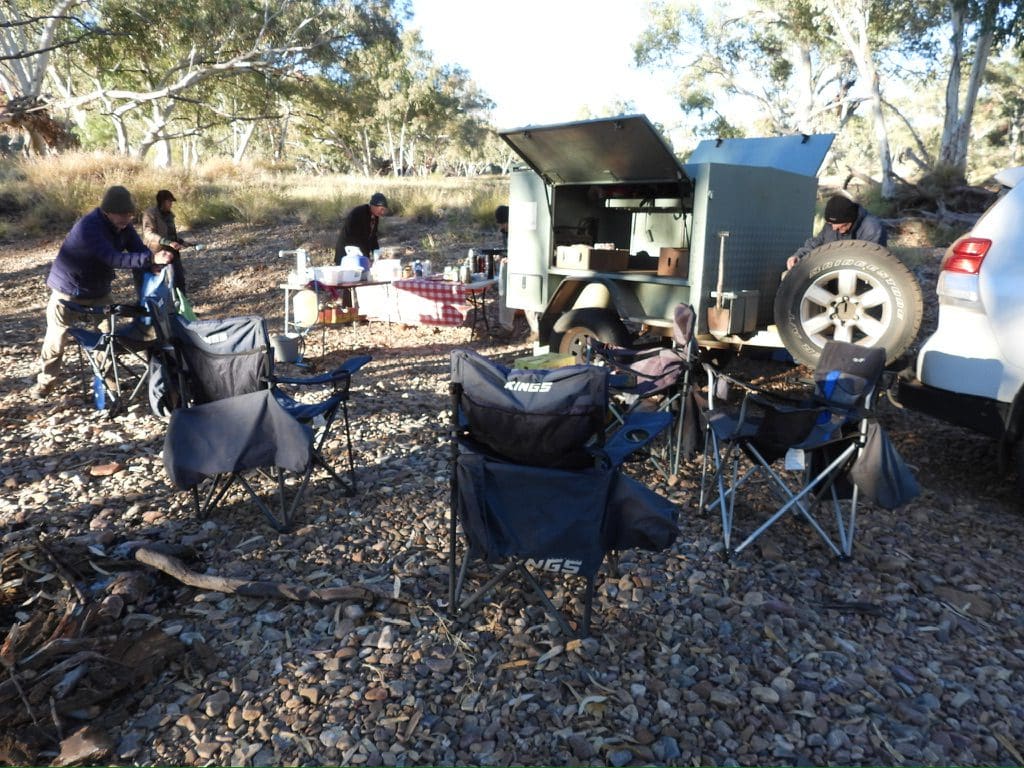
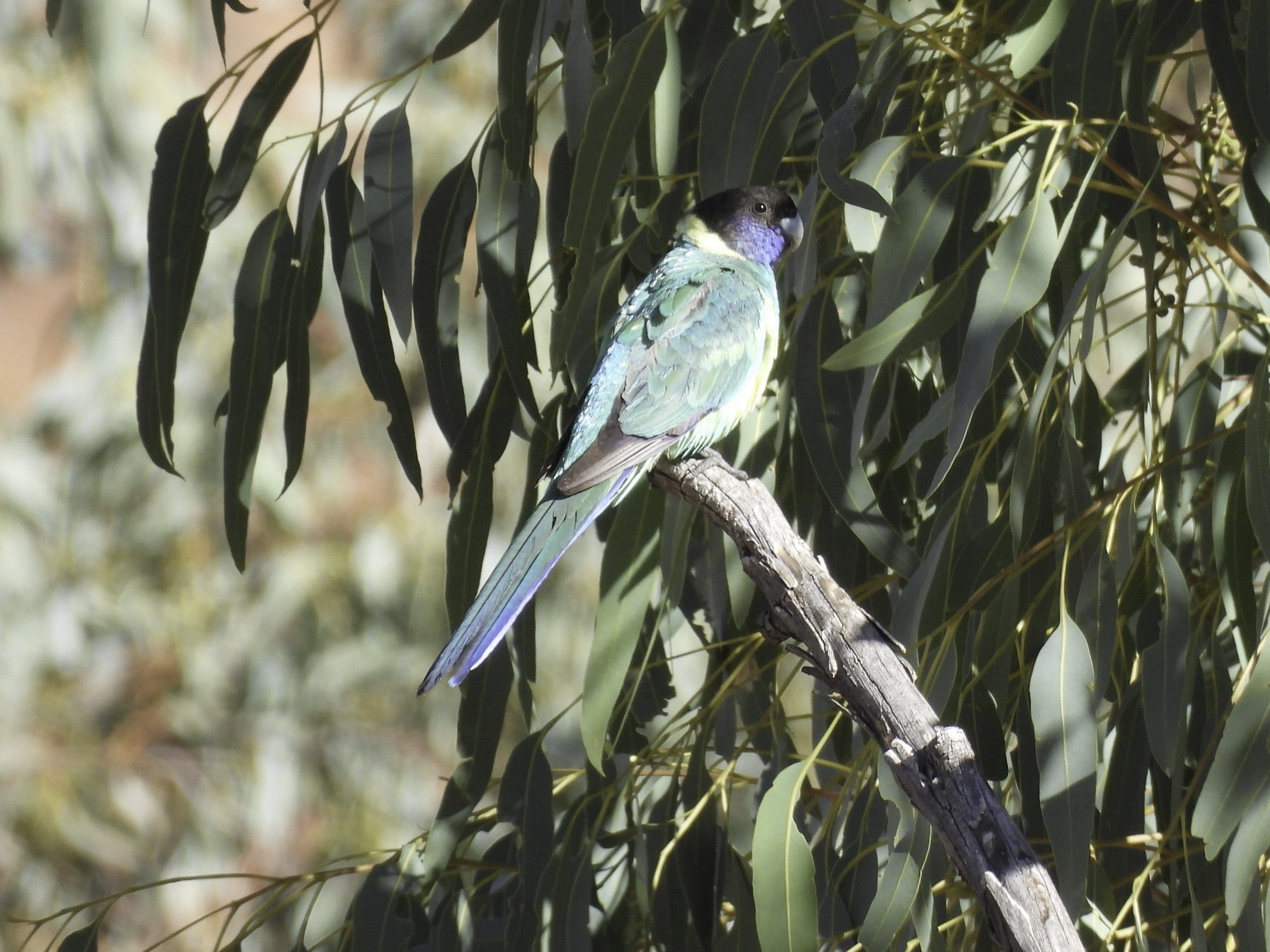
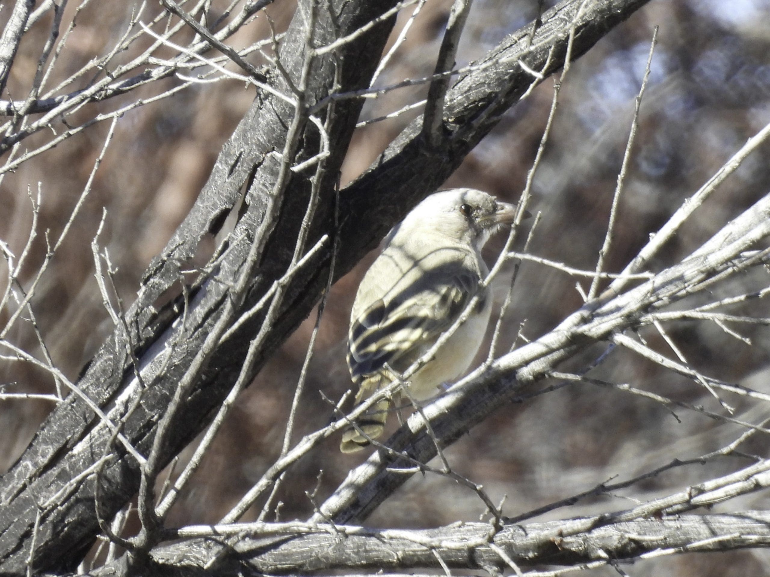
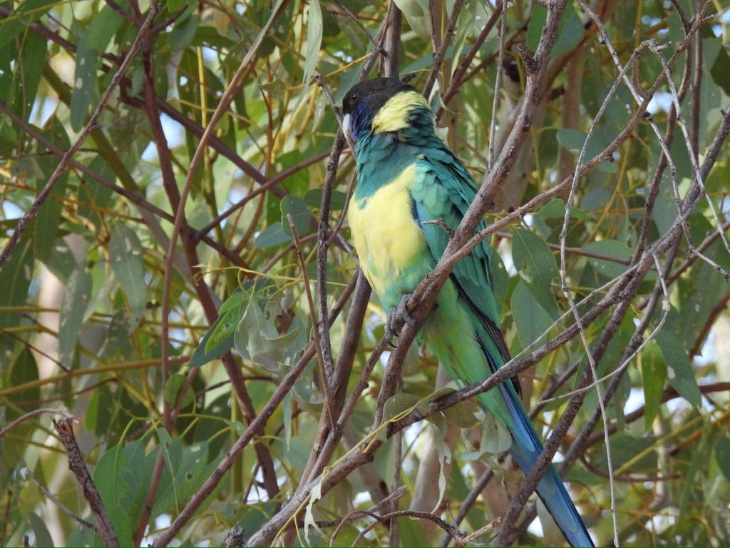
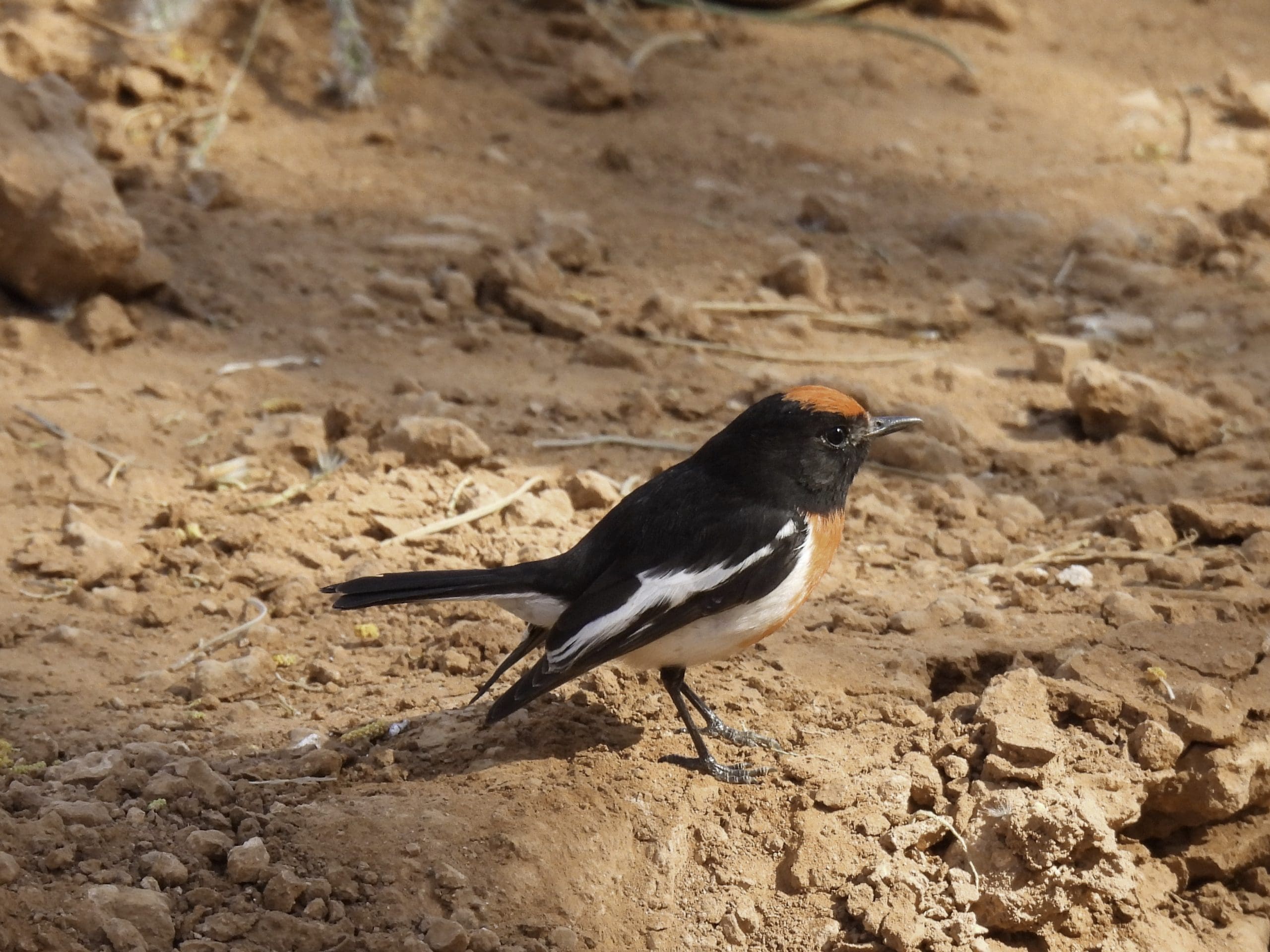
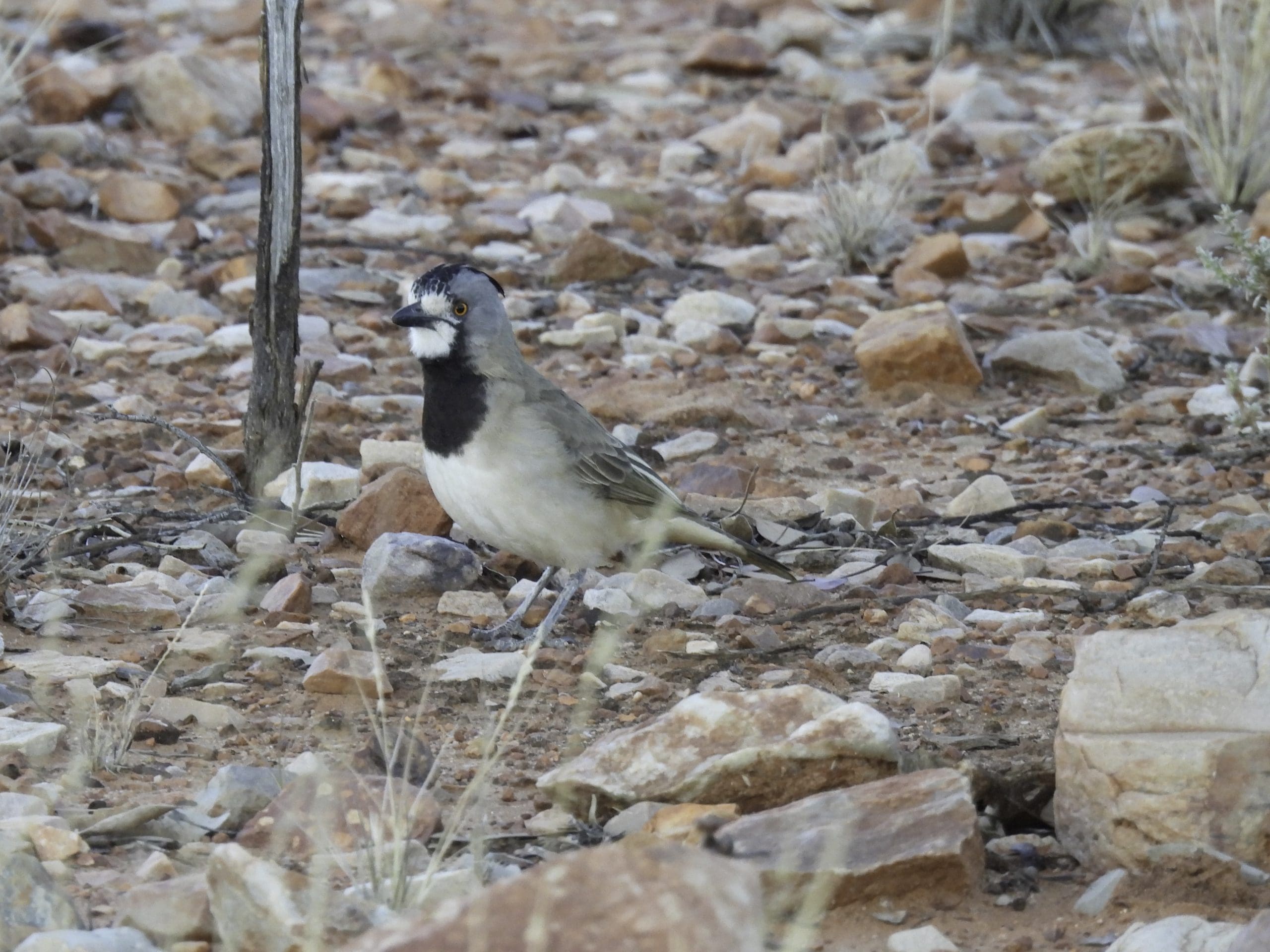
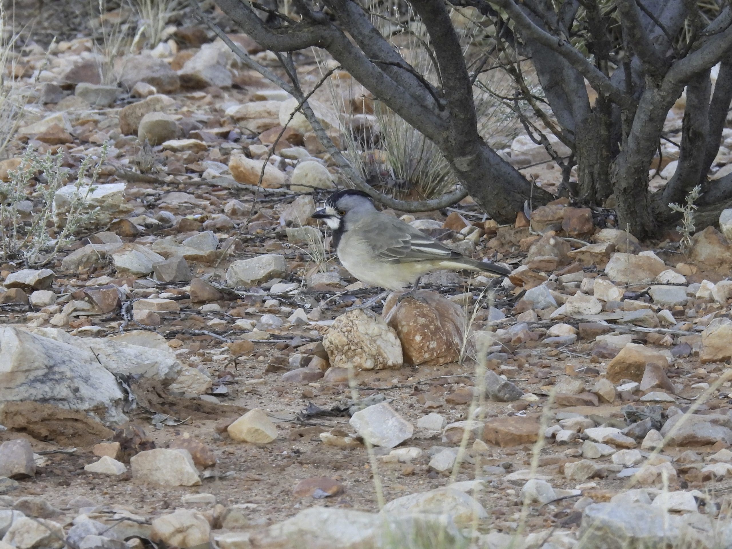
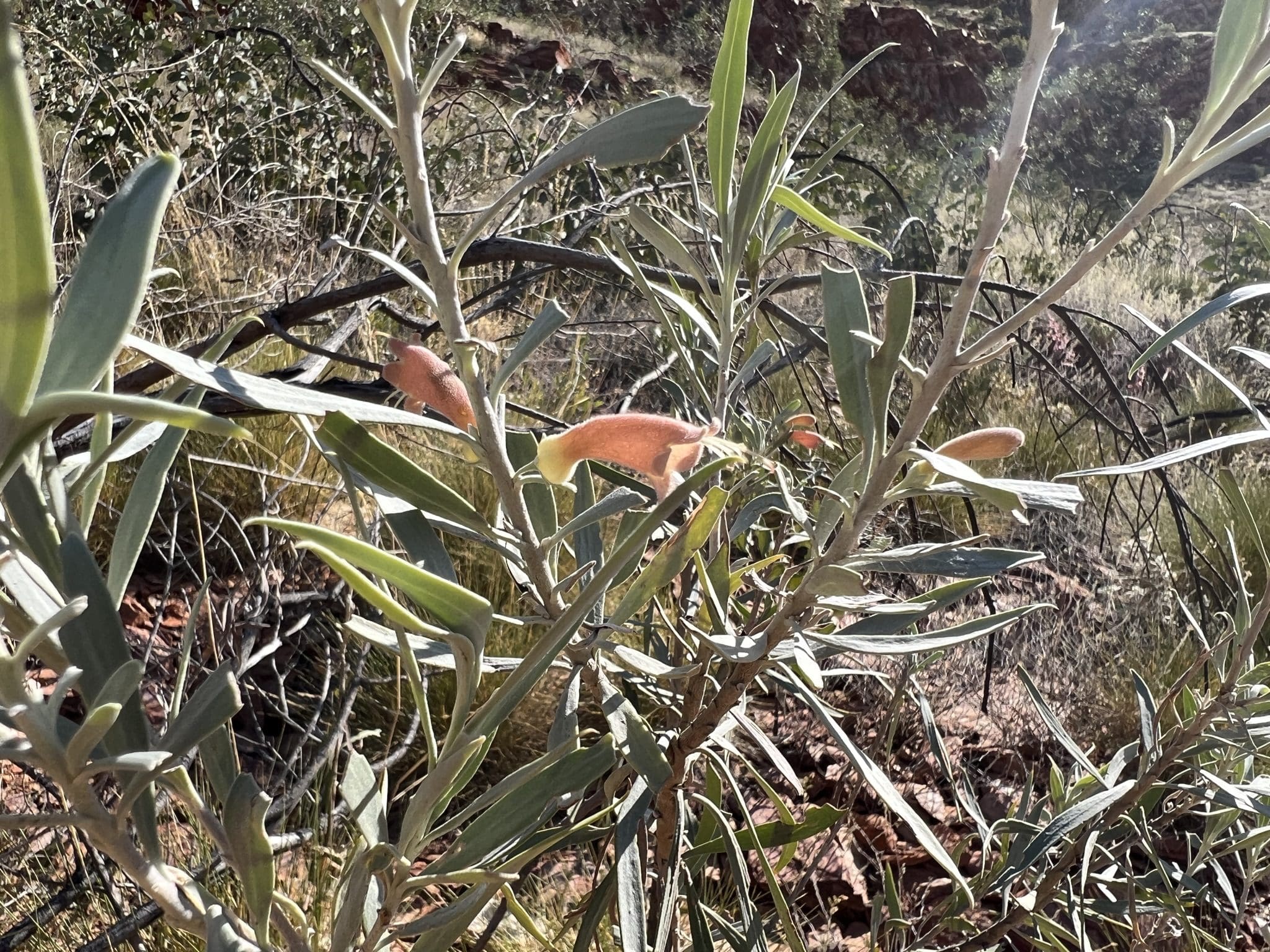
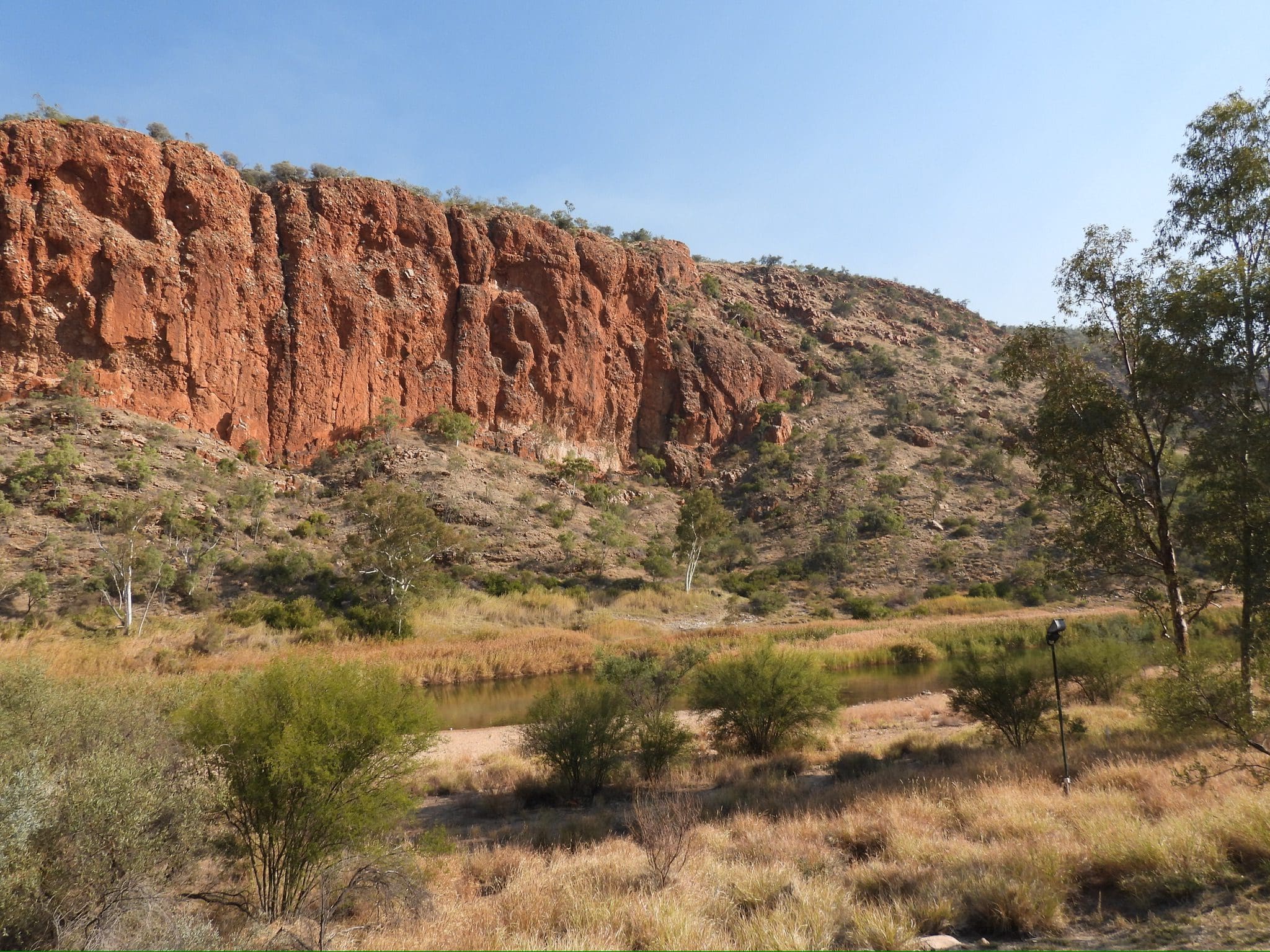
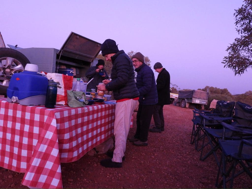
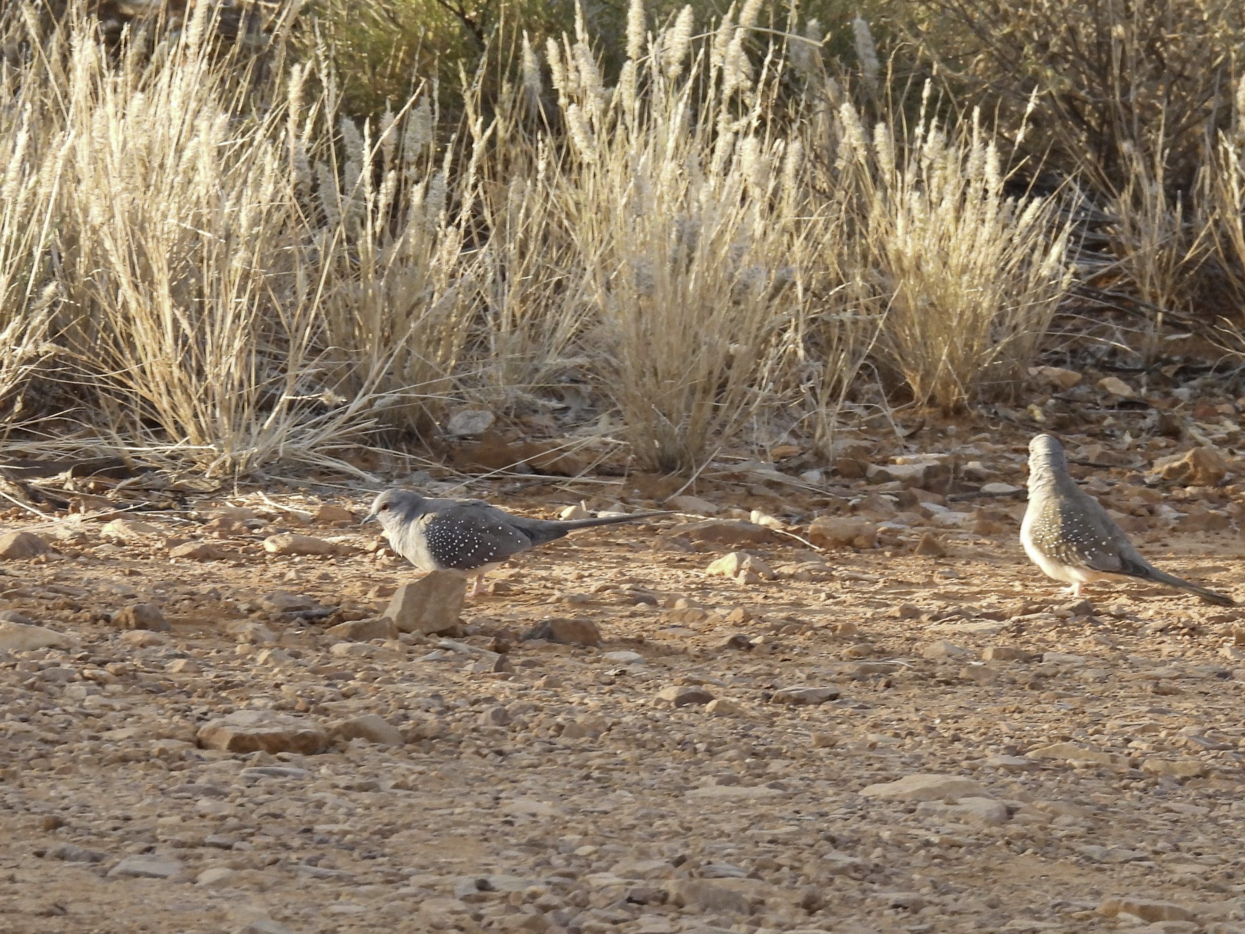
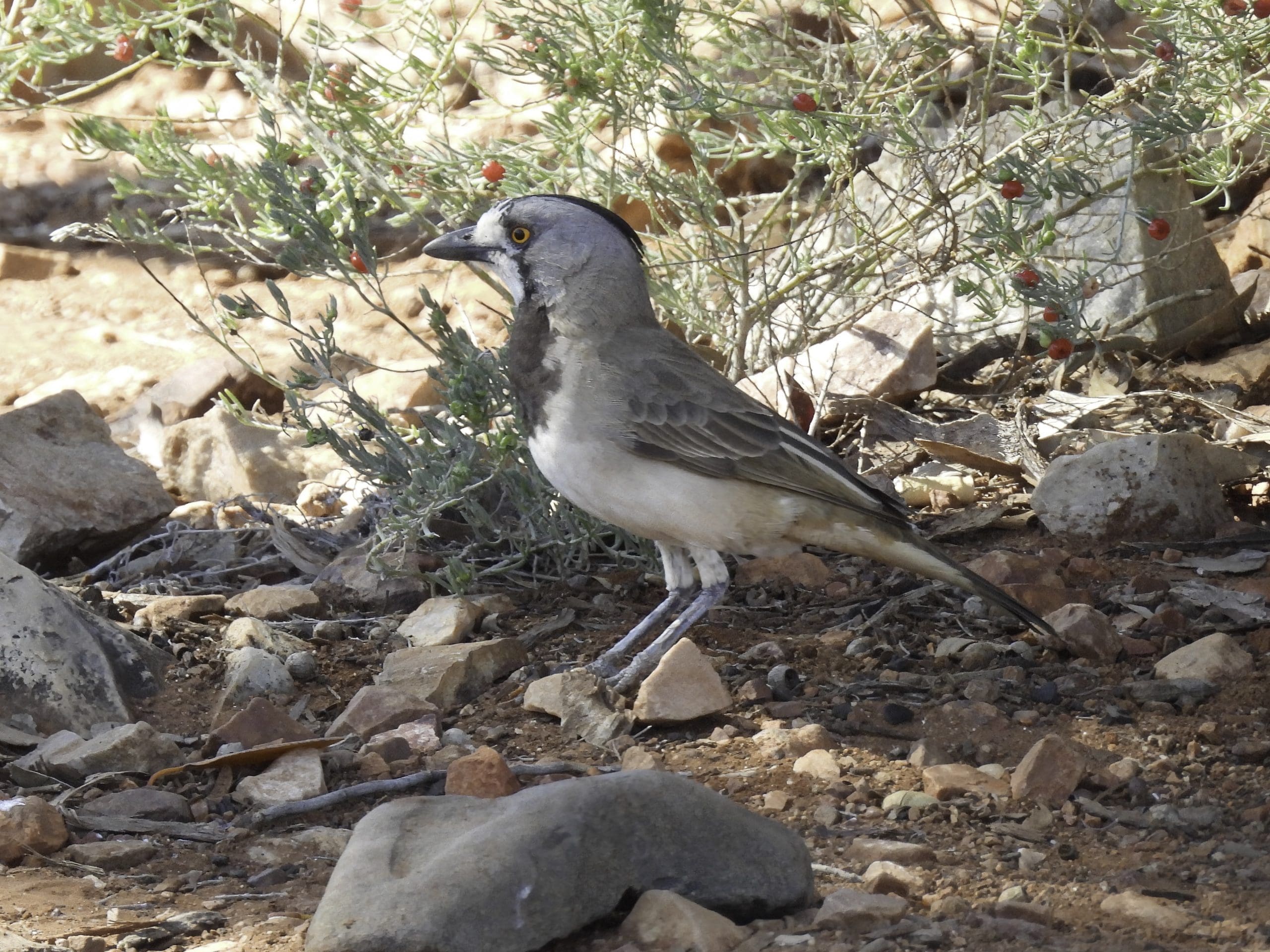
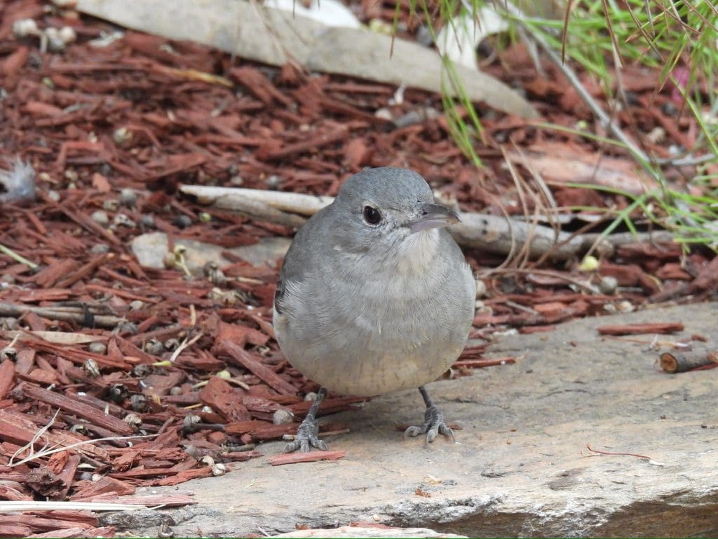
Friday 26 May. Day 3. Very strong cold wind last night. Our damaged vehicle into workshop and Mt Dare pub. (Mt Dare is a lifesaver for travellers in difficulty.) Early breakfast with lots of frantic activity to get us away in one vehicle to see Dalhousie Springs. (Diana, our guide and trip leader, has a high level of skills across a huge number of categories/fields/disciplines – very impressive.) Dalhousie Springs is a set of mound springs that mark an upwelling at the edge of the Great Artesian Basin. A large one is full of permanent water – about 150m by 60m by 1.5m deep – water enters at about 42ºC and at the swimming stage is about 34ºC. This was a major intersection of several important song lines and would have been of high significance for indigenous people. Now, it has been heavily degraded – a terrible shame. Back at Mt Dare just after 5pm following a sighting of Bourke’s parrots (good photos) the second new bird for me today. The first was a group of Cinnamon Quail-thrush. Quite cool tonight; no wind. To bed early. Behind the scenes our vehicle was declared unrepairable at Mount Dare and Coates arranged for a replacement vehicle to be hired and transported to Mt Dare today. It was here by 8:30pm.
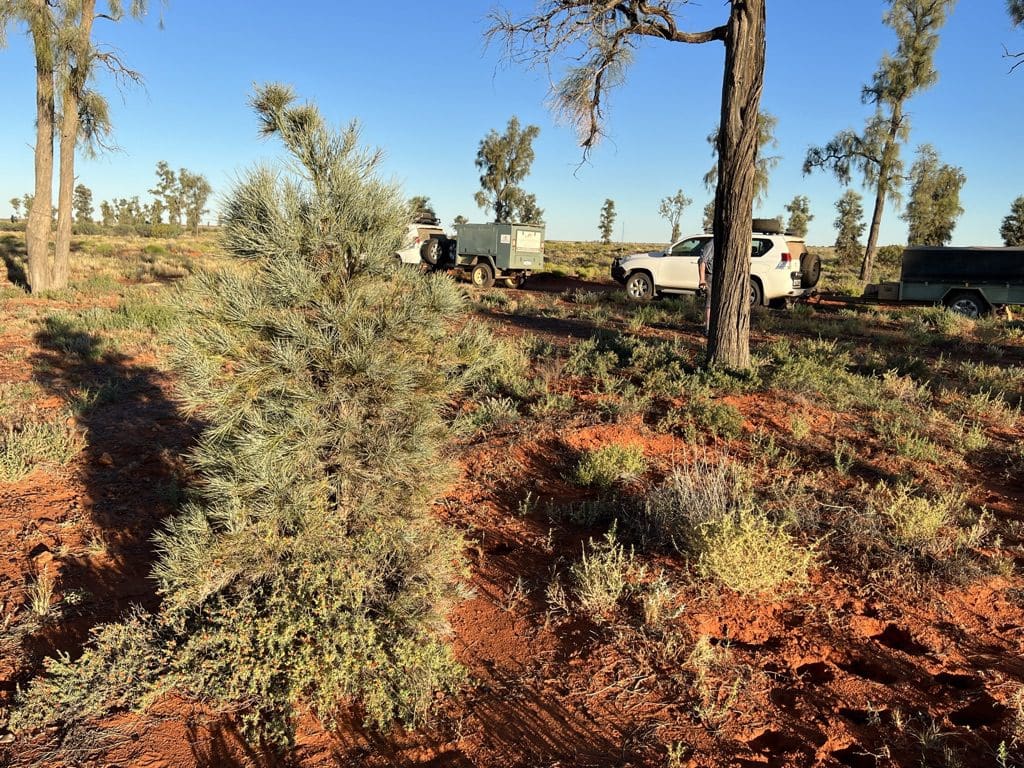
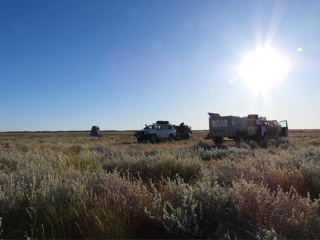
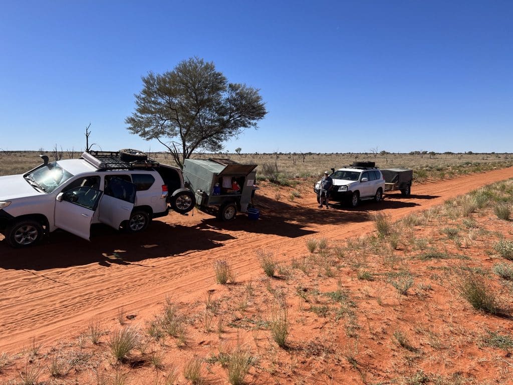
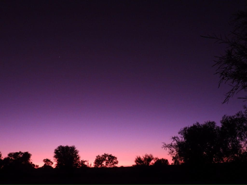
Saturday 27 May. Day 4. No wind last night. A clear sky with excellent views of Milky Way and Emu in the Sky. Away to a late start mainly due to setting up the replacement vehicle which arrived last night. Getting working electrical connections to the trailer was fiddly. Eventually away at about 10am. Campground and vehicle repairs cost Coates $400. Drove out to camp at Dalhousie. Tents up at about 1pm. Afternoon doing not much.
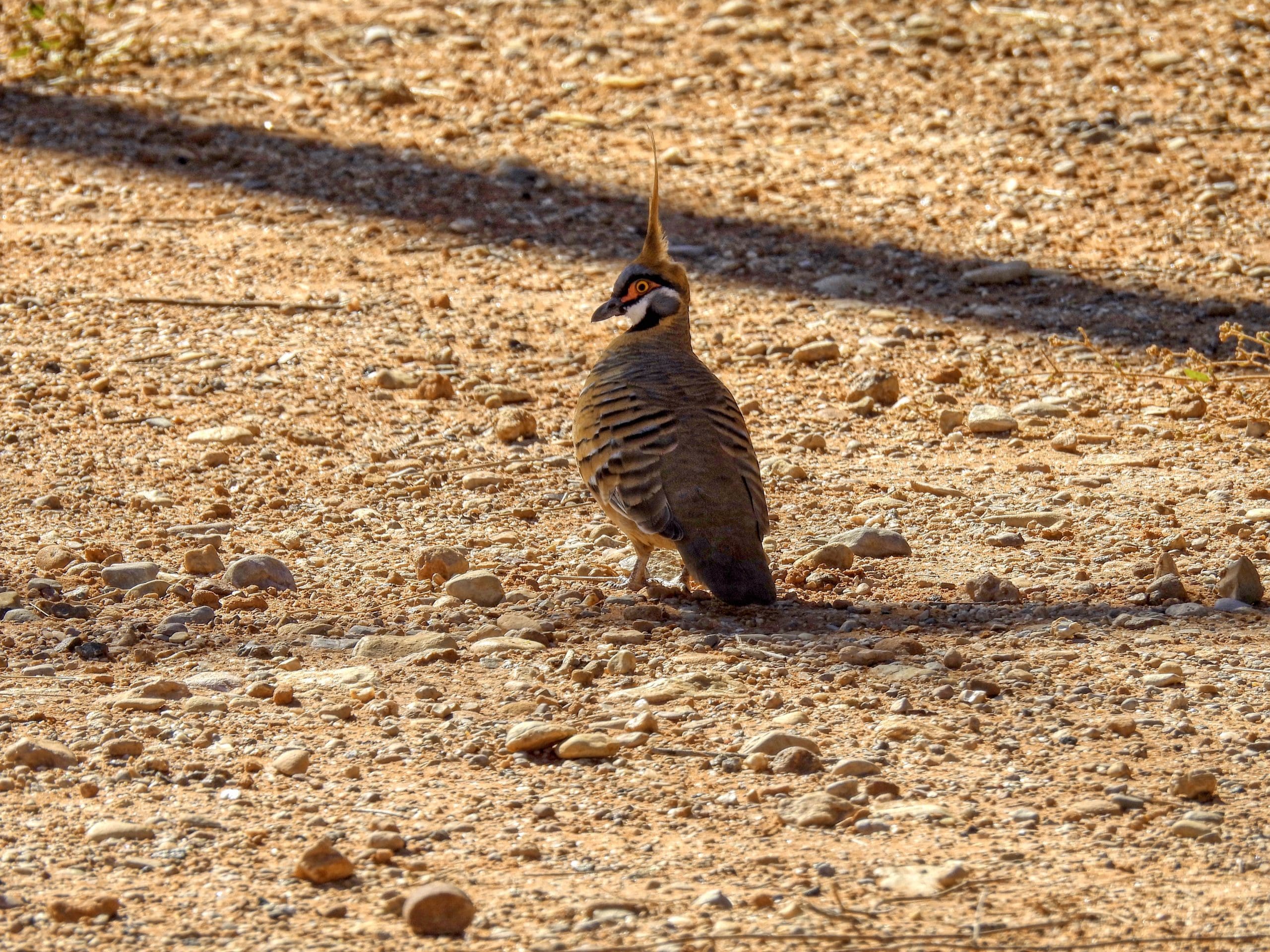
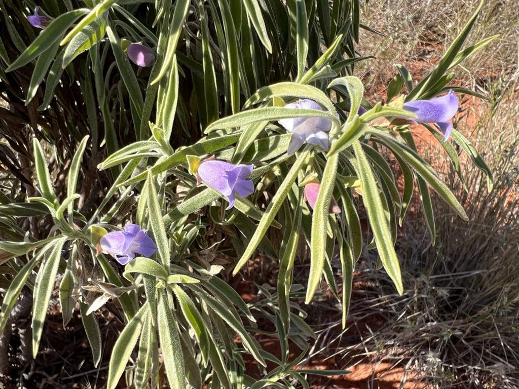
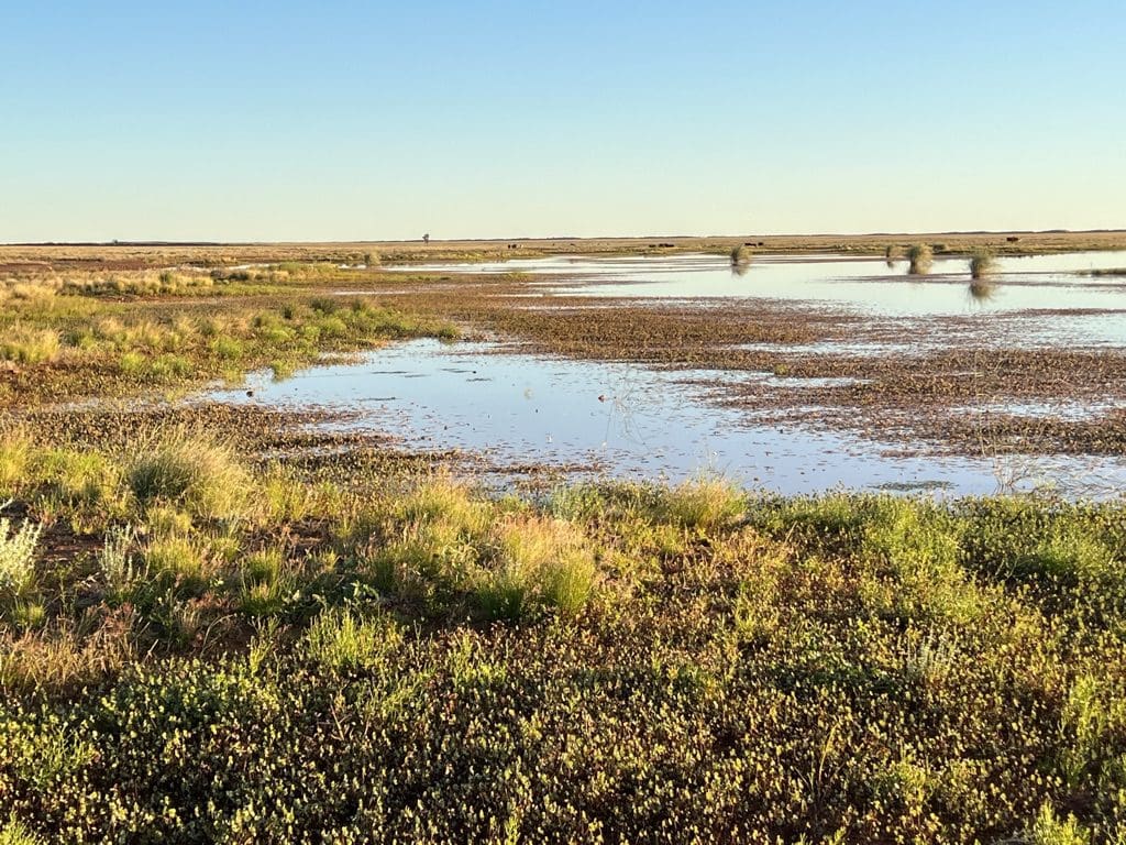
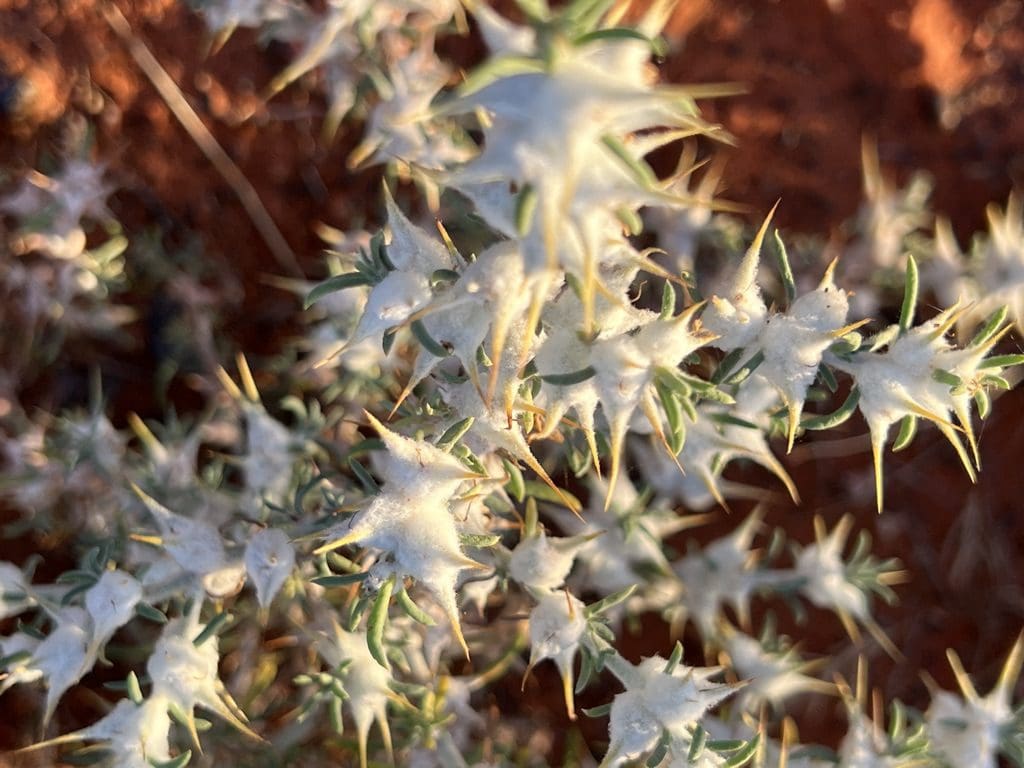
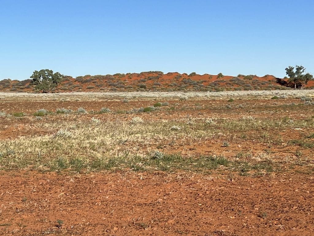
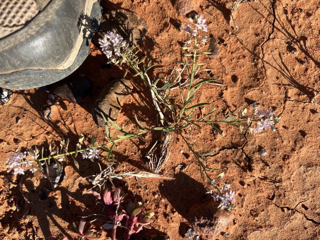
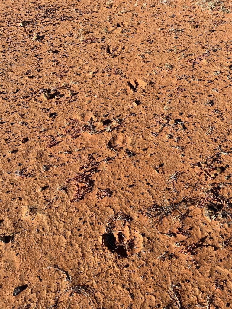
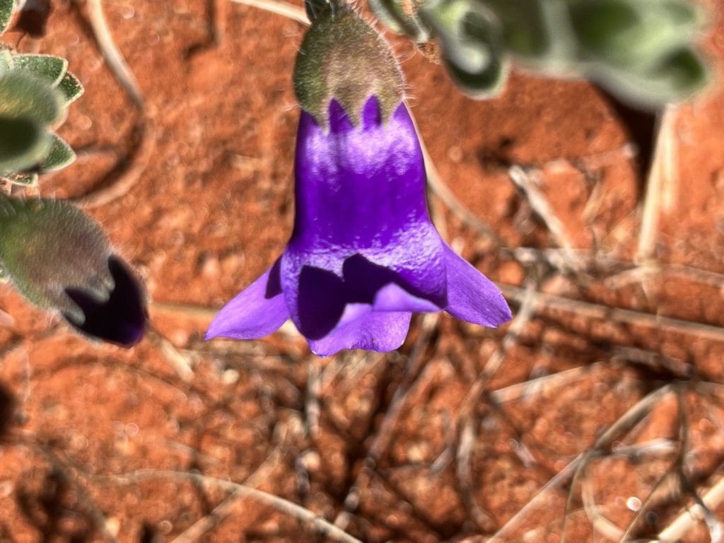
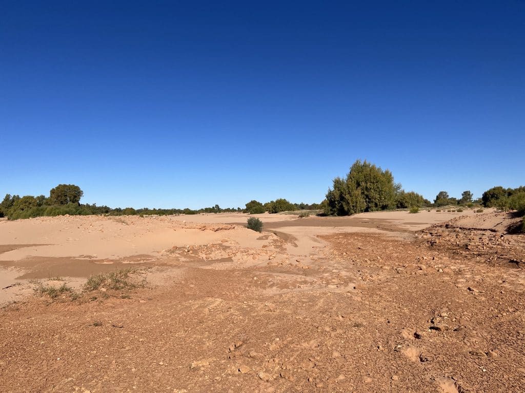
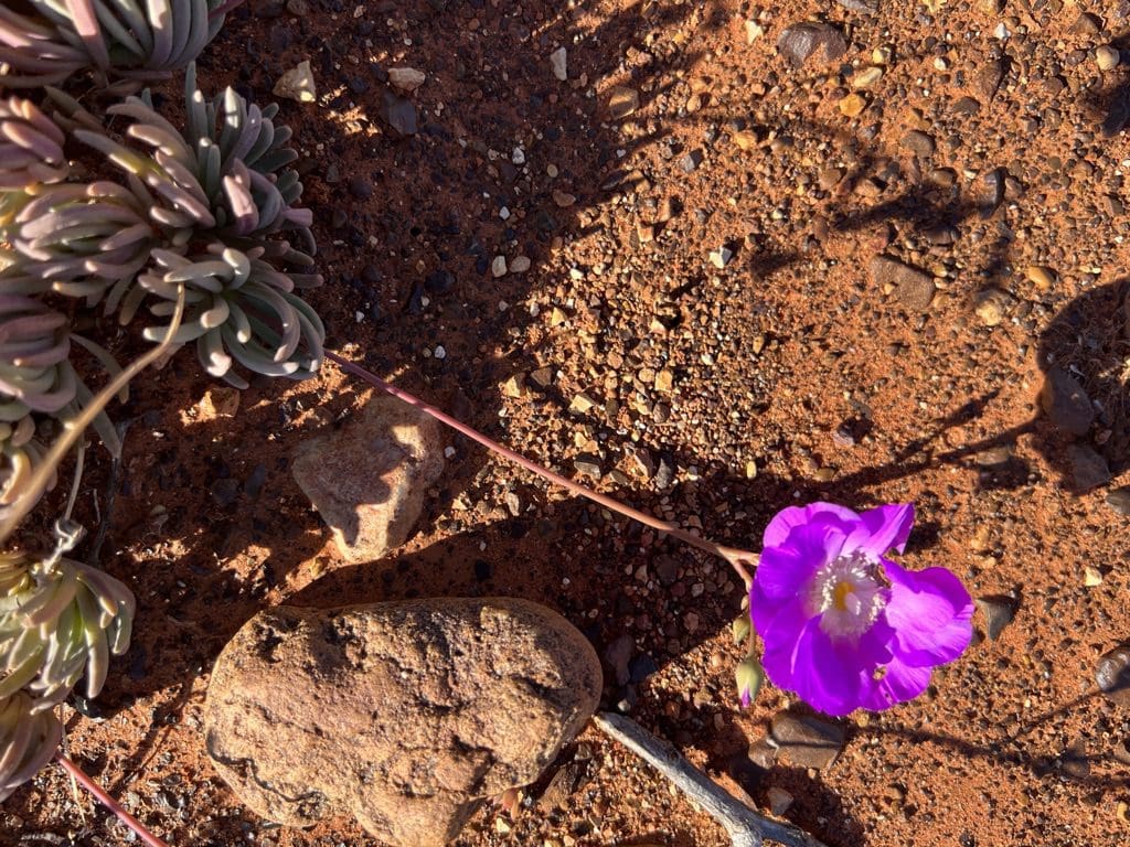
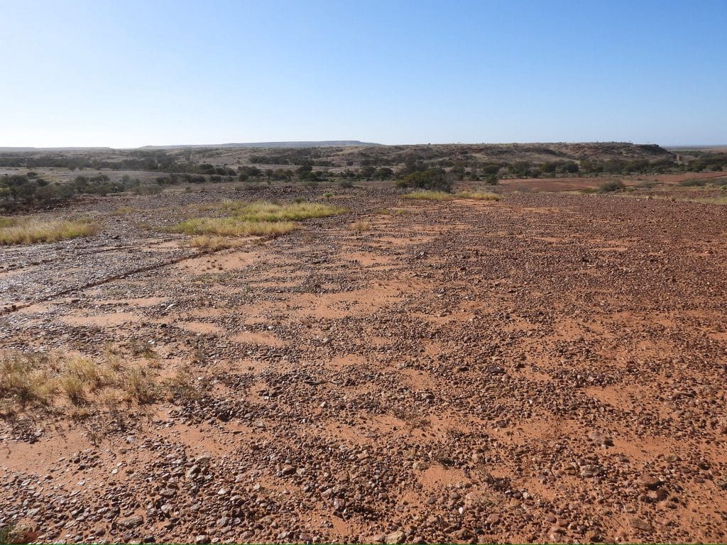
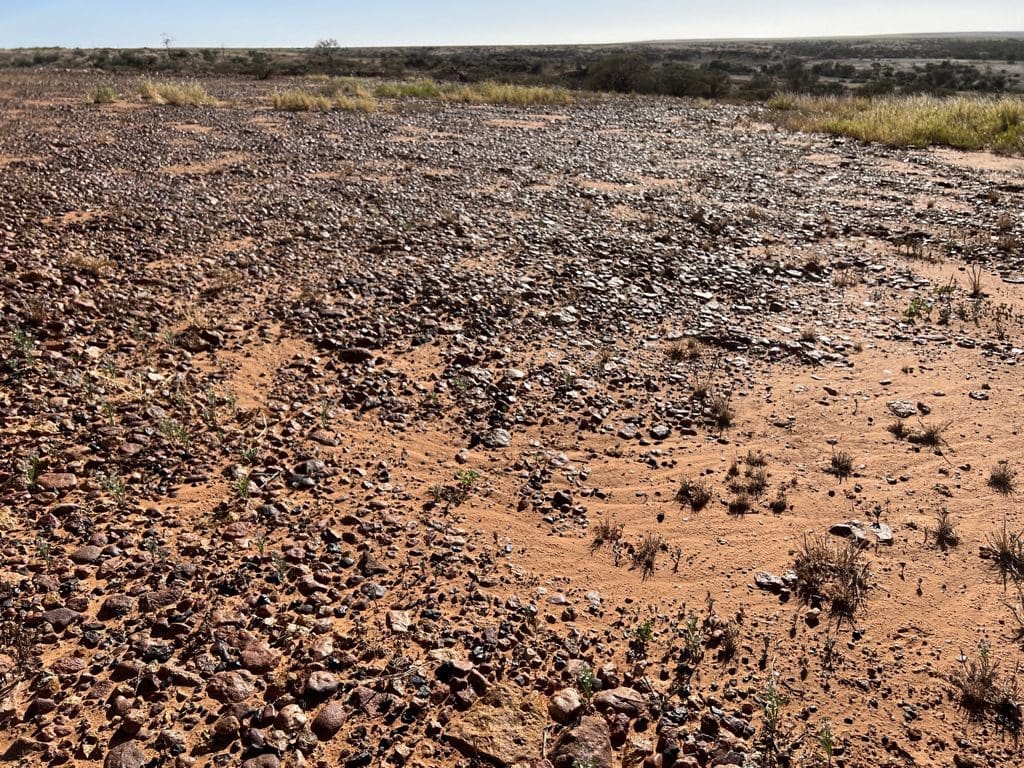
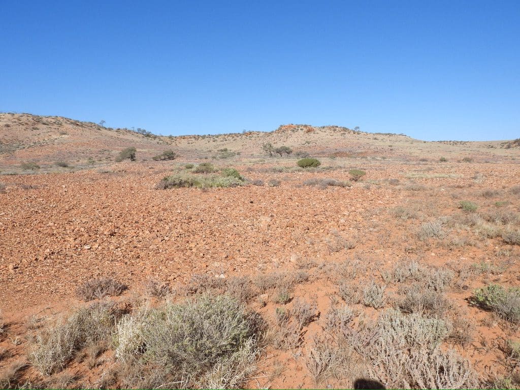
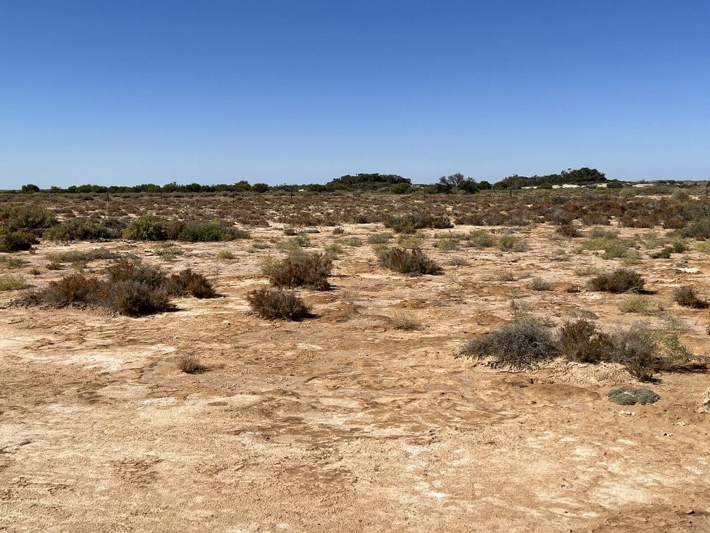
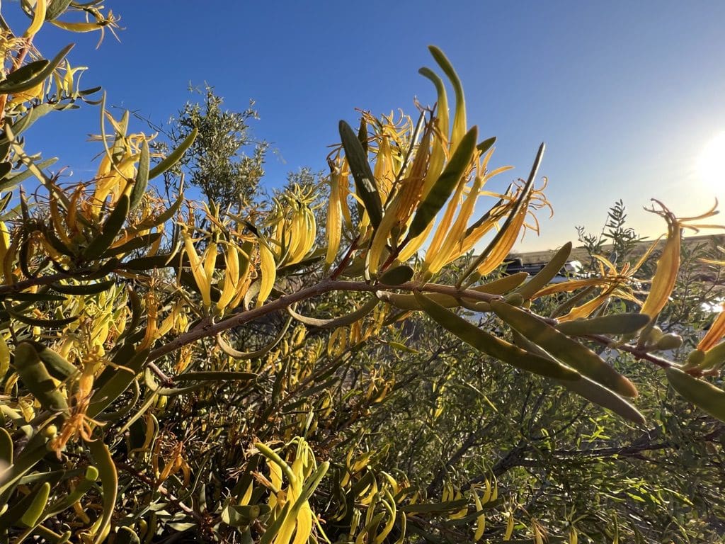
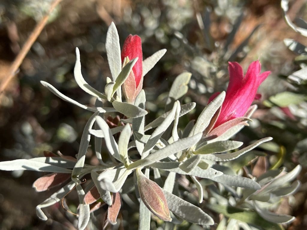
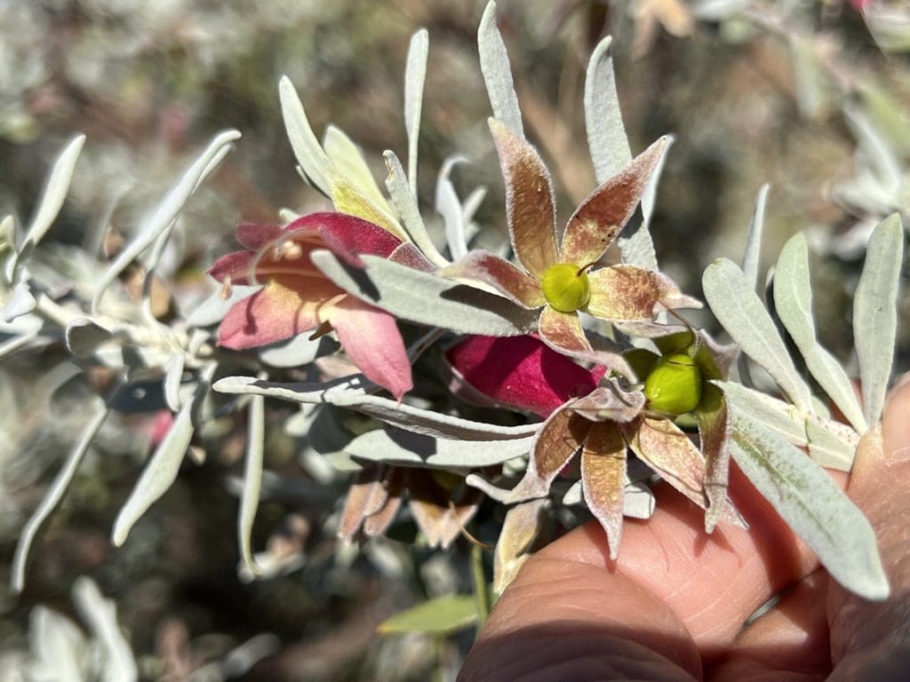
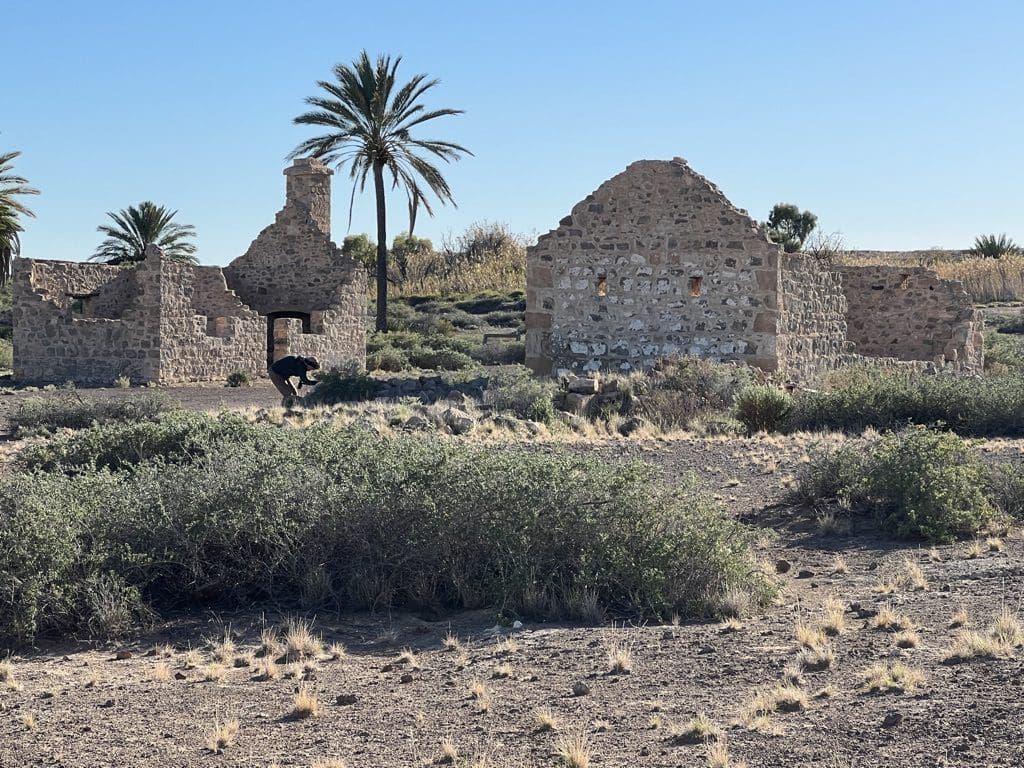
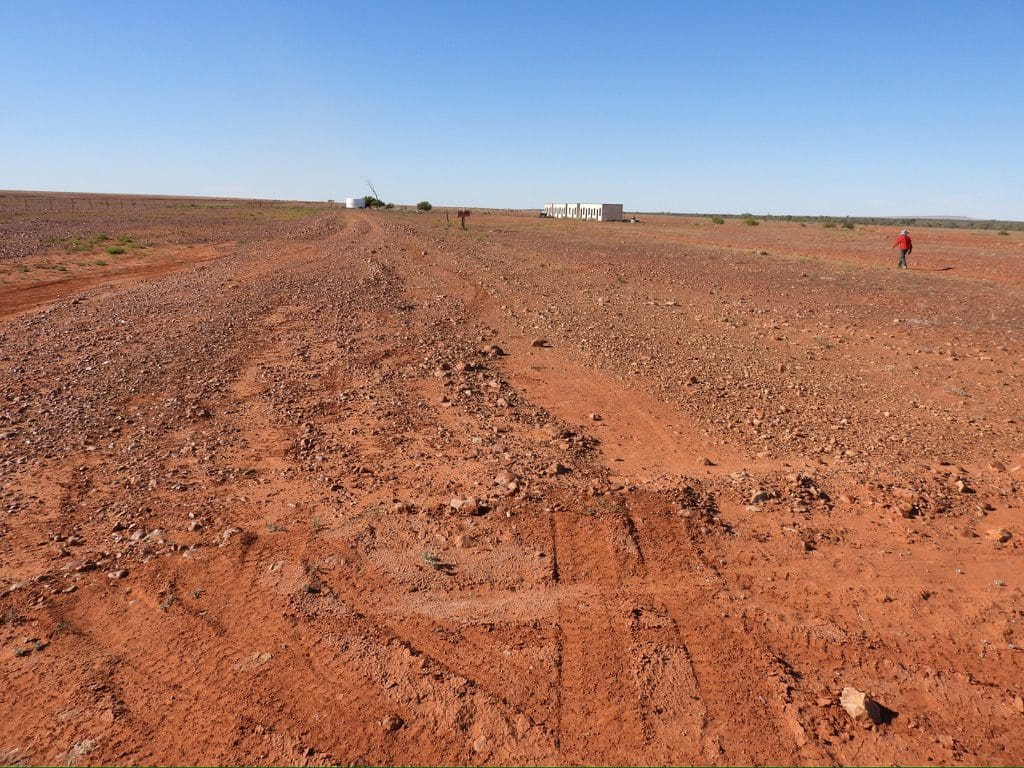
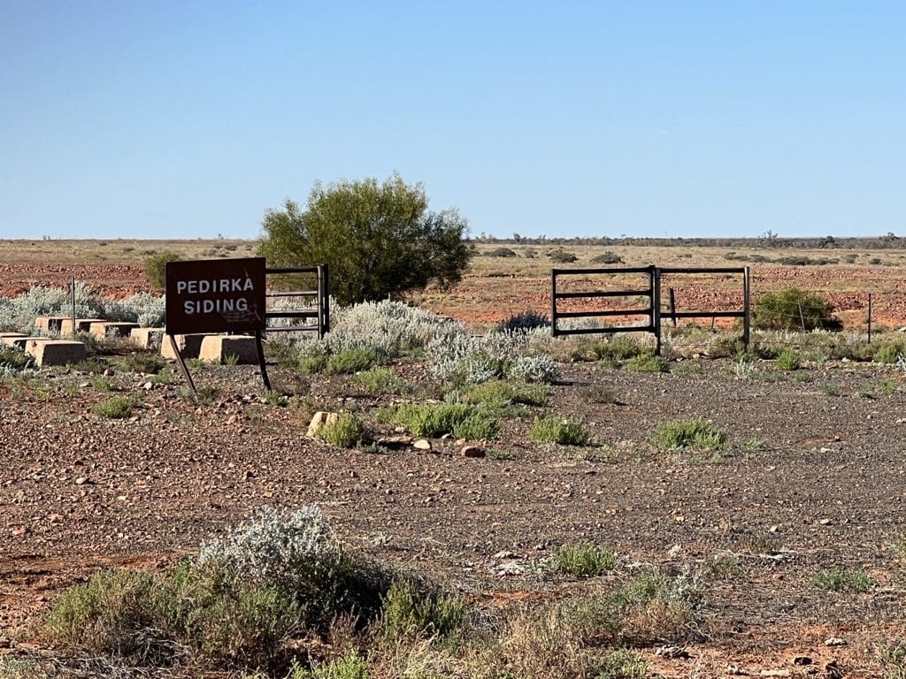
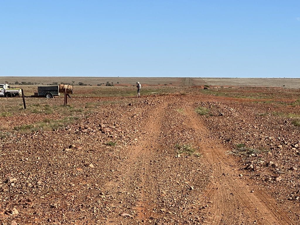
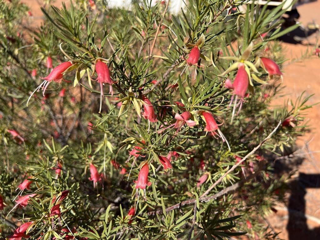
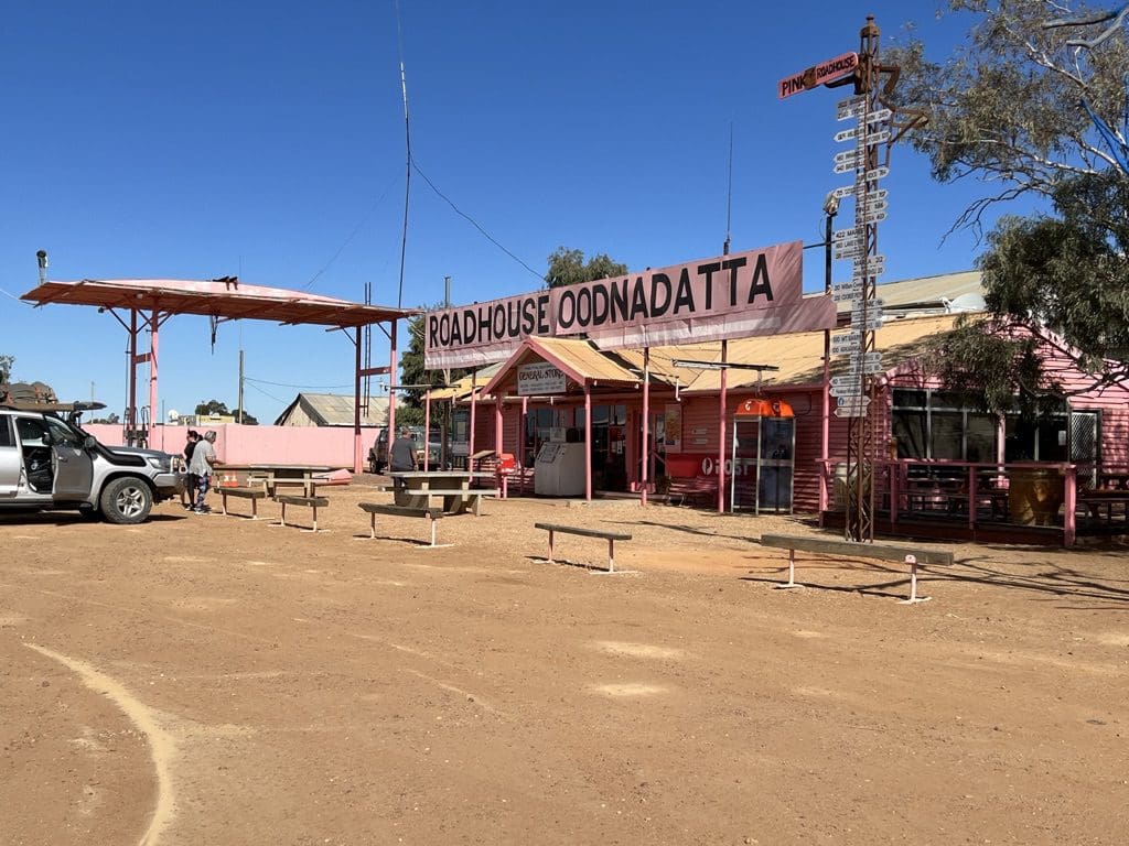
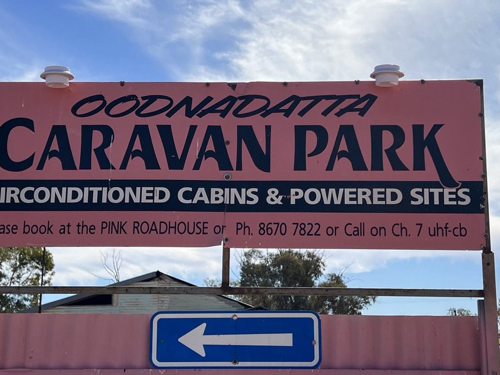
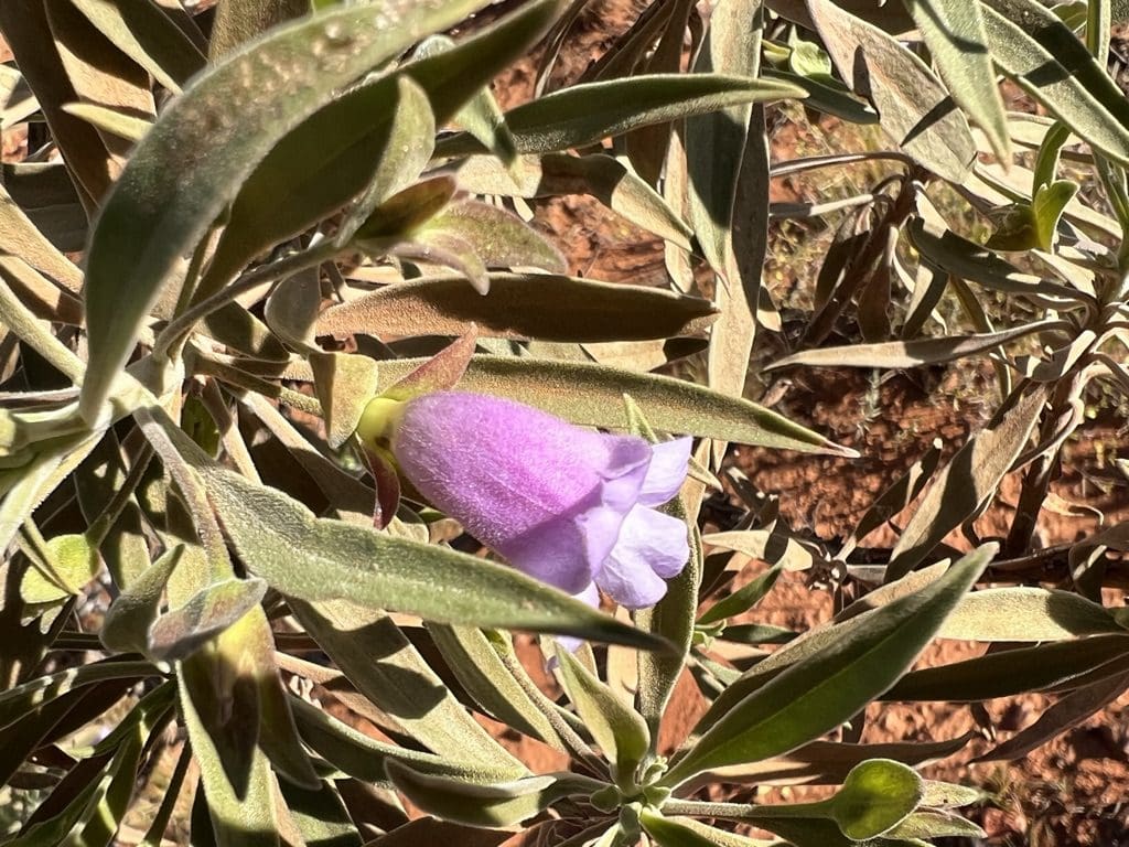
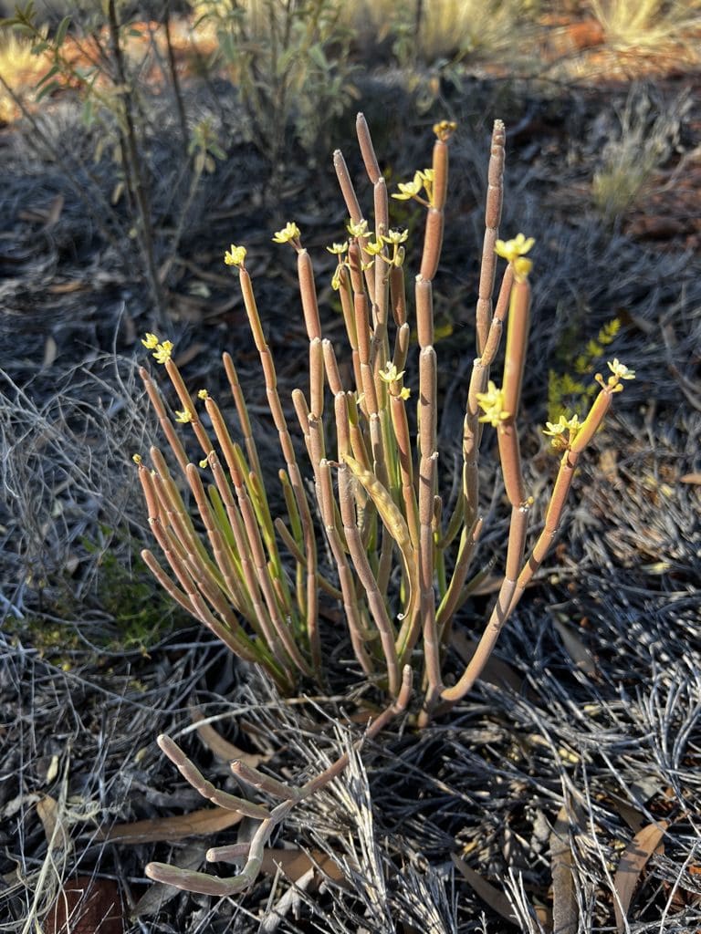
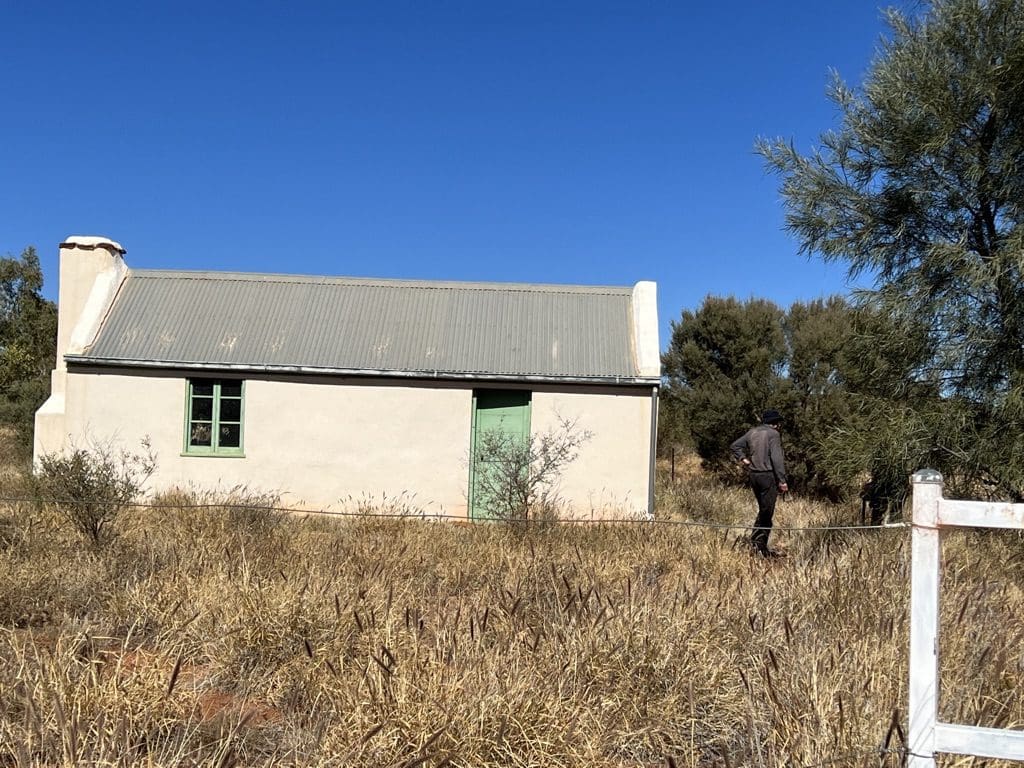
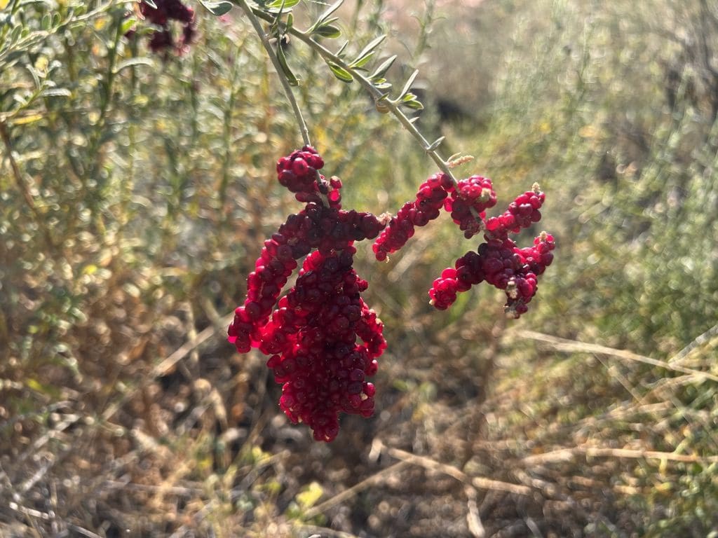
Sunday 28 May. Day 5. Quite cold overnight. Very clear skies with very good view of Milky Way and Emu. Slow away in the morning and left at 8:30. Called into remains of Dalhousie homestead. Crossed the old Ghan rail line of which nothing remains except a clear path, a few huts where a station was and a tank. At our morning tea stop, a few red eremophilas and many animal tracks – kangaroo & hopping mouse. During the morning drove 150km through the Pedirka Desert to Oodnadatta for lunch. (The Pedirka Desert is covered in chenopods – saltbush and little else. If you have seen 100 meters of it, you have seen the couple of hundred kilometres of it.) On to Marla for our overnight camp and a shower and laundry.
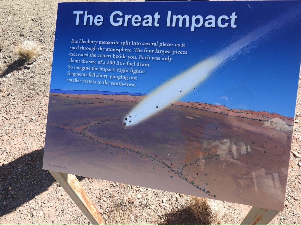
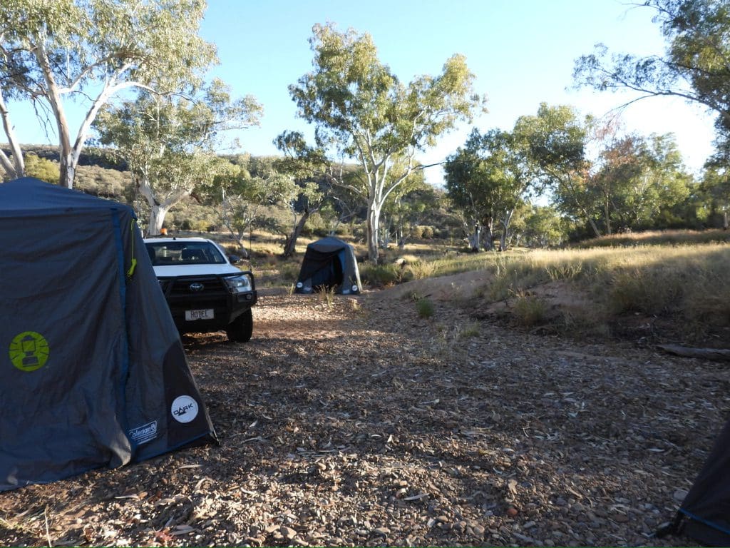
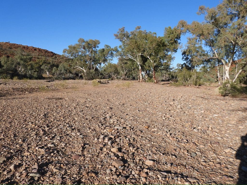
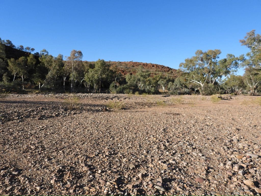
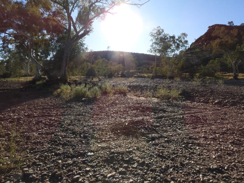
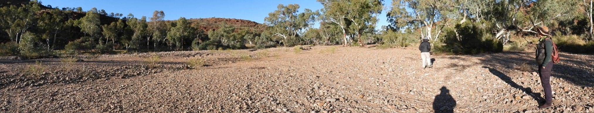
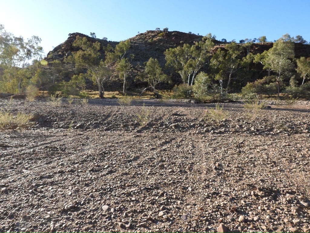
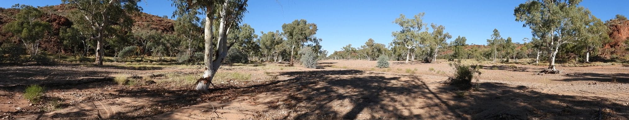
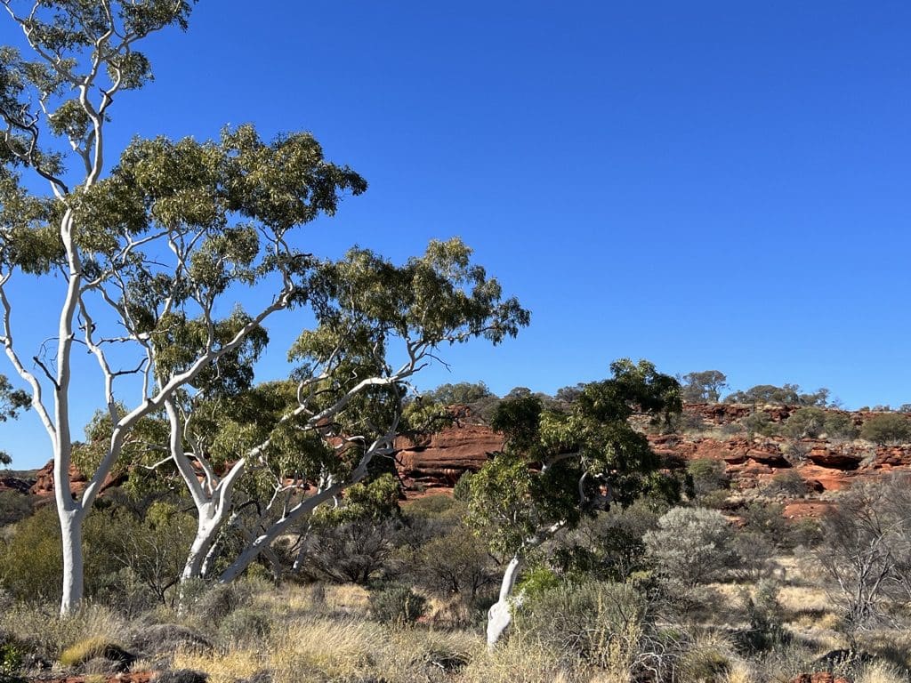
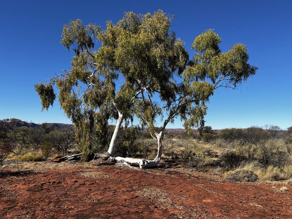
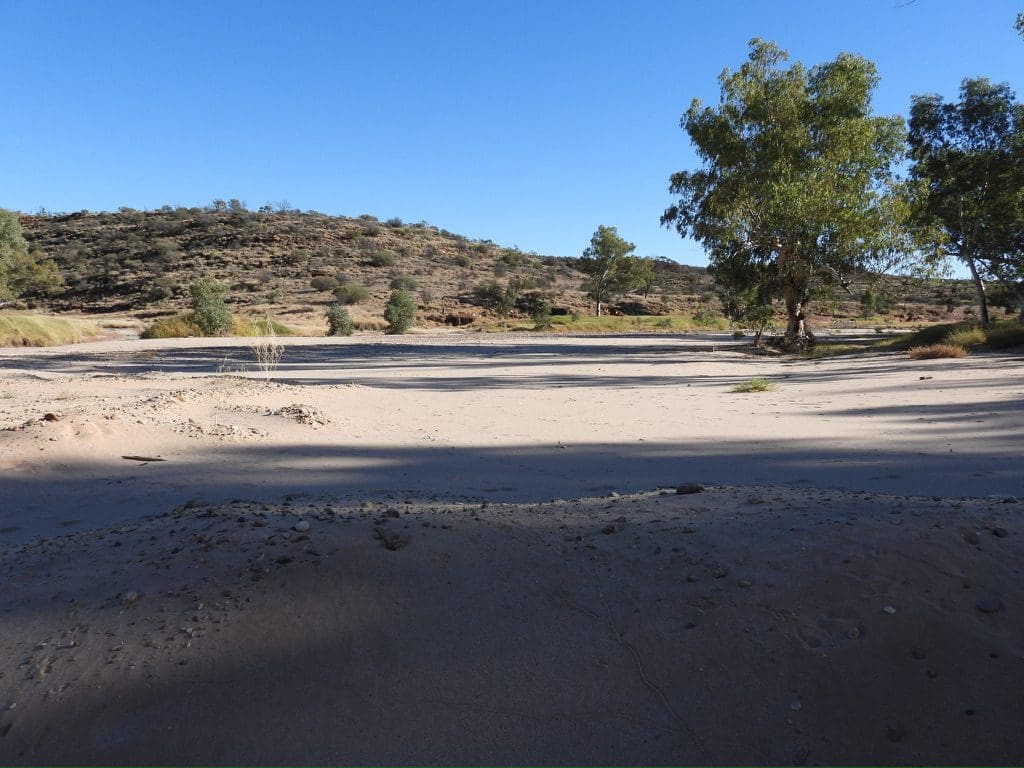
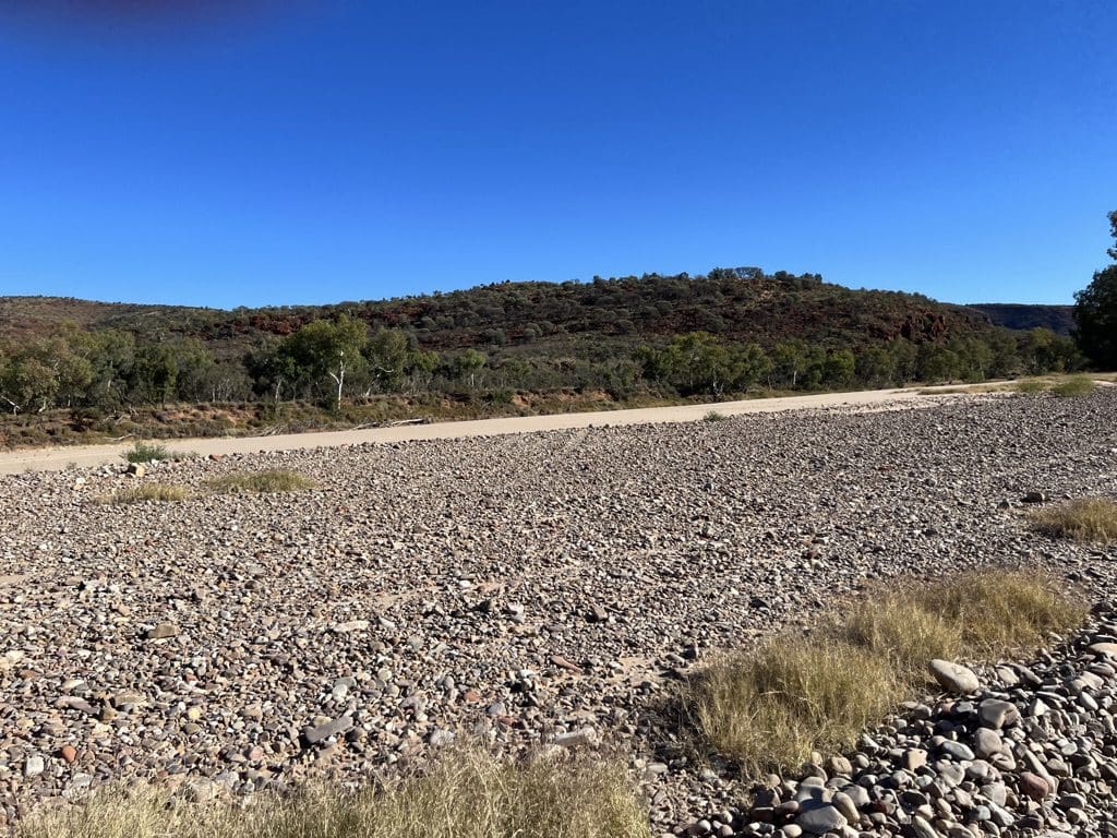
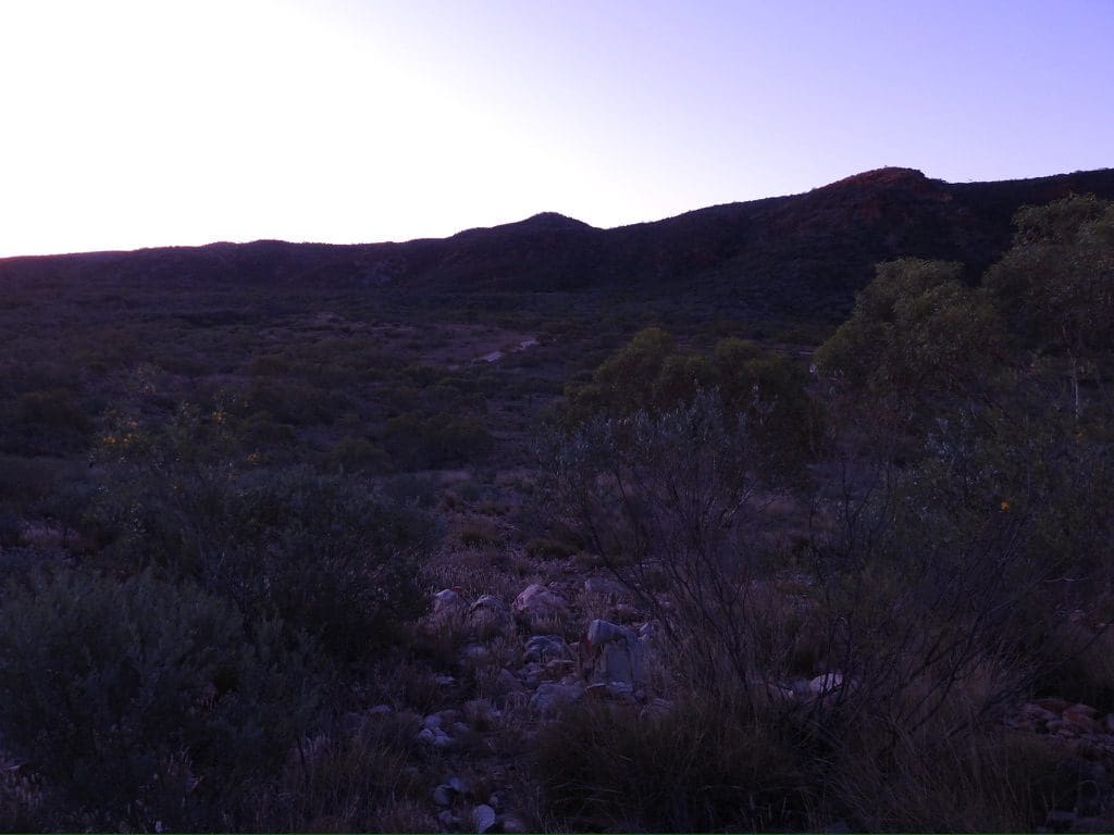
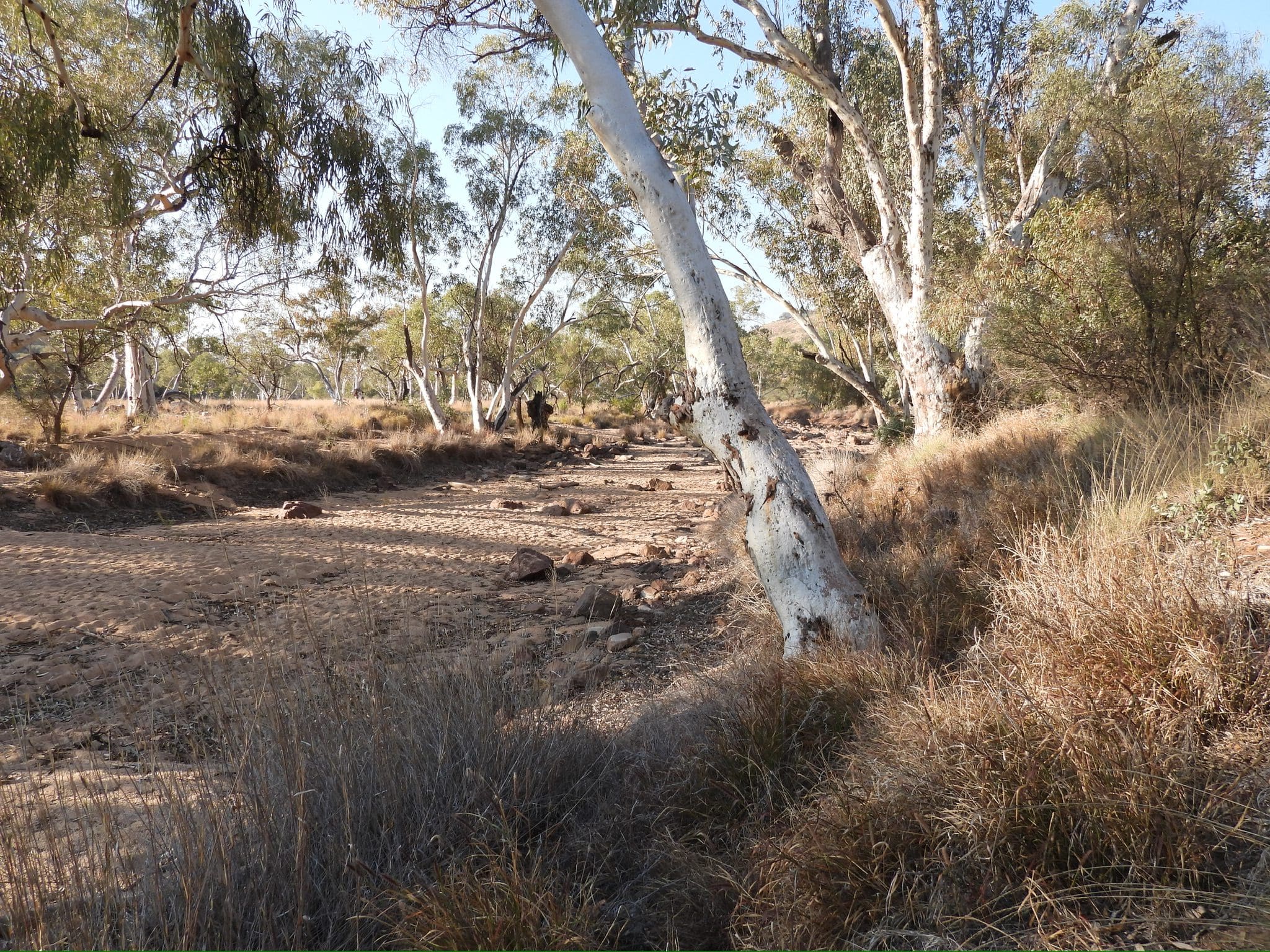
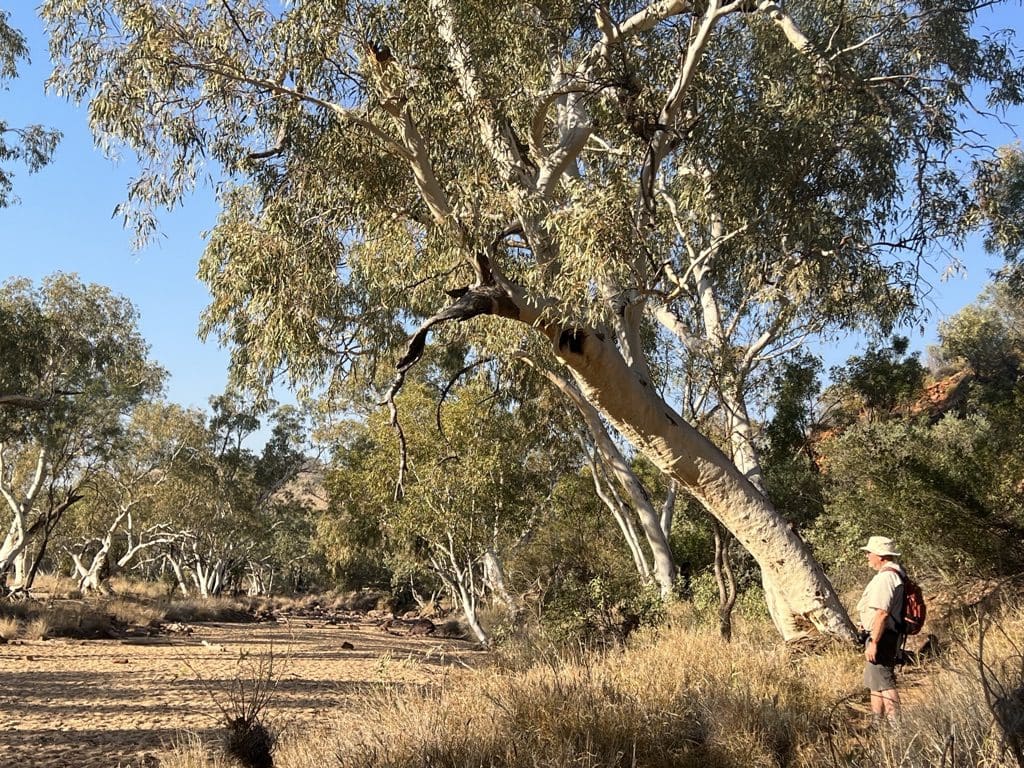
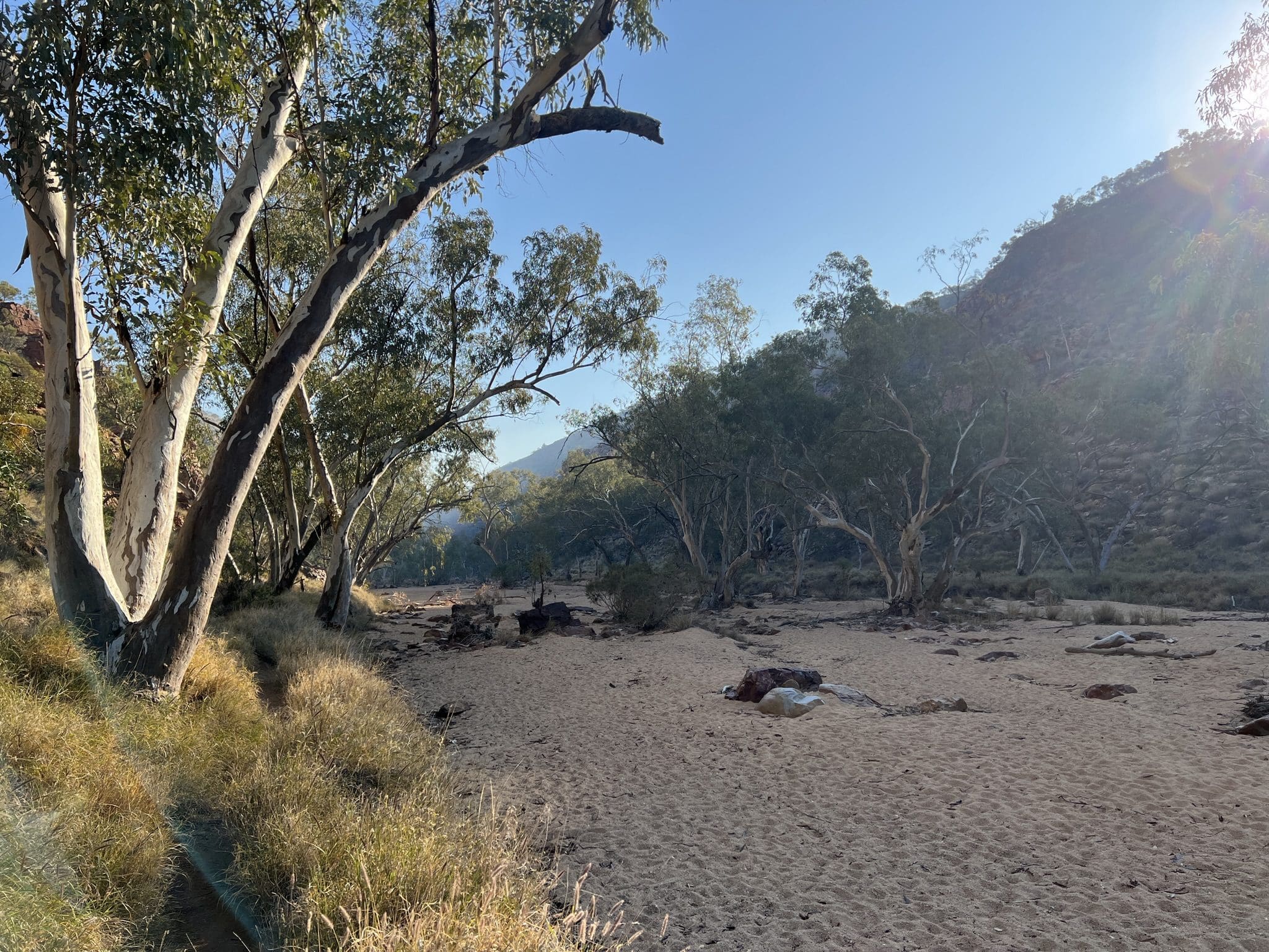
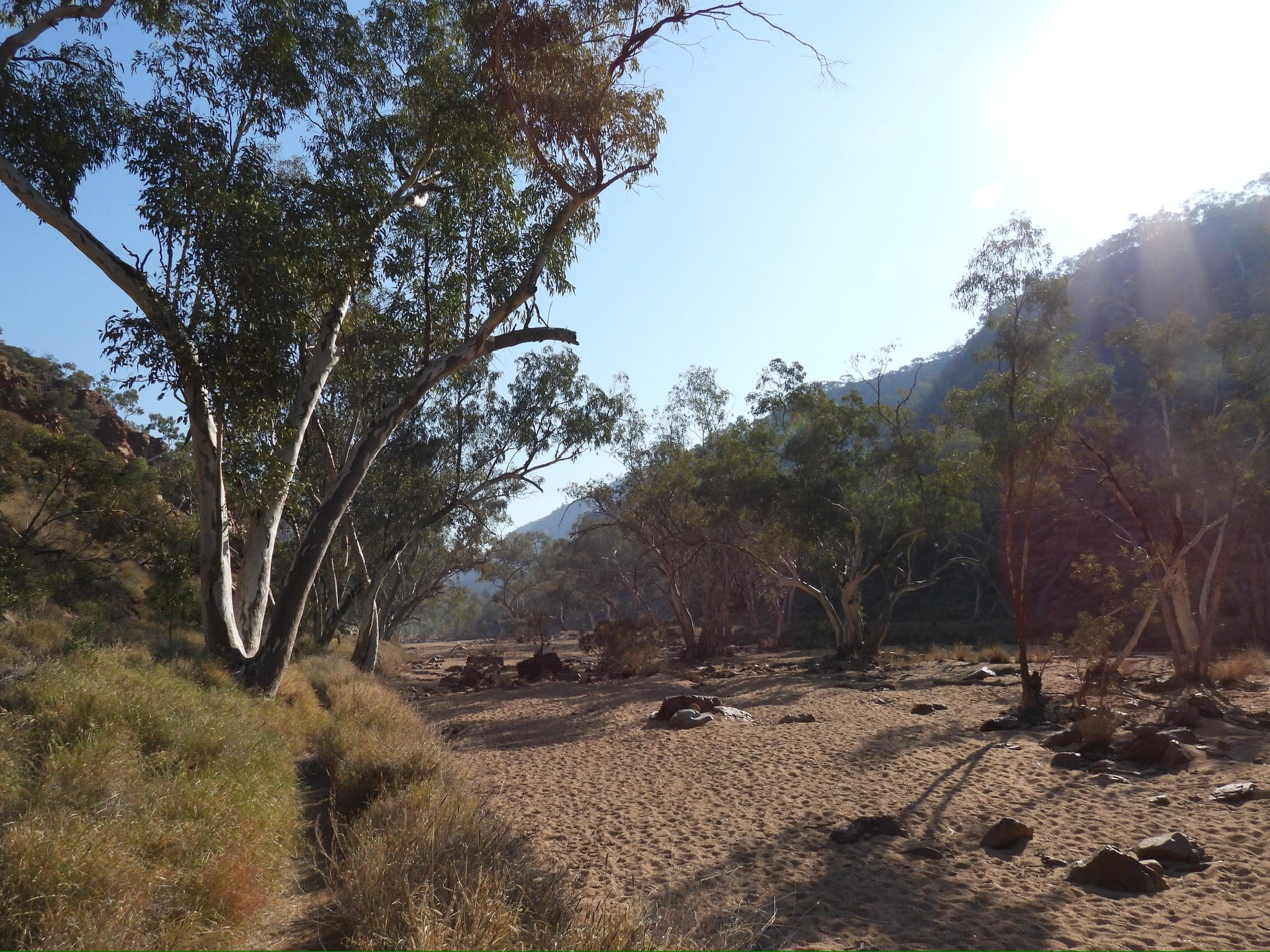
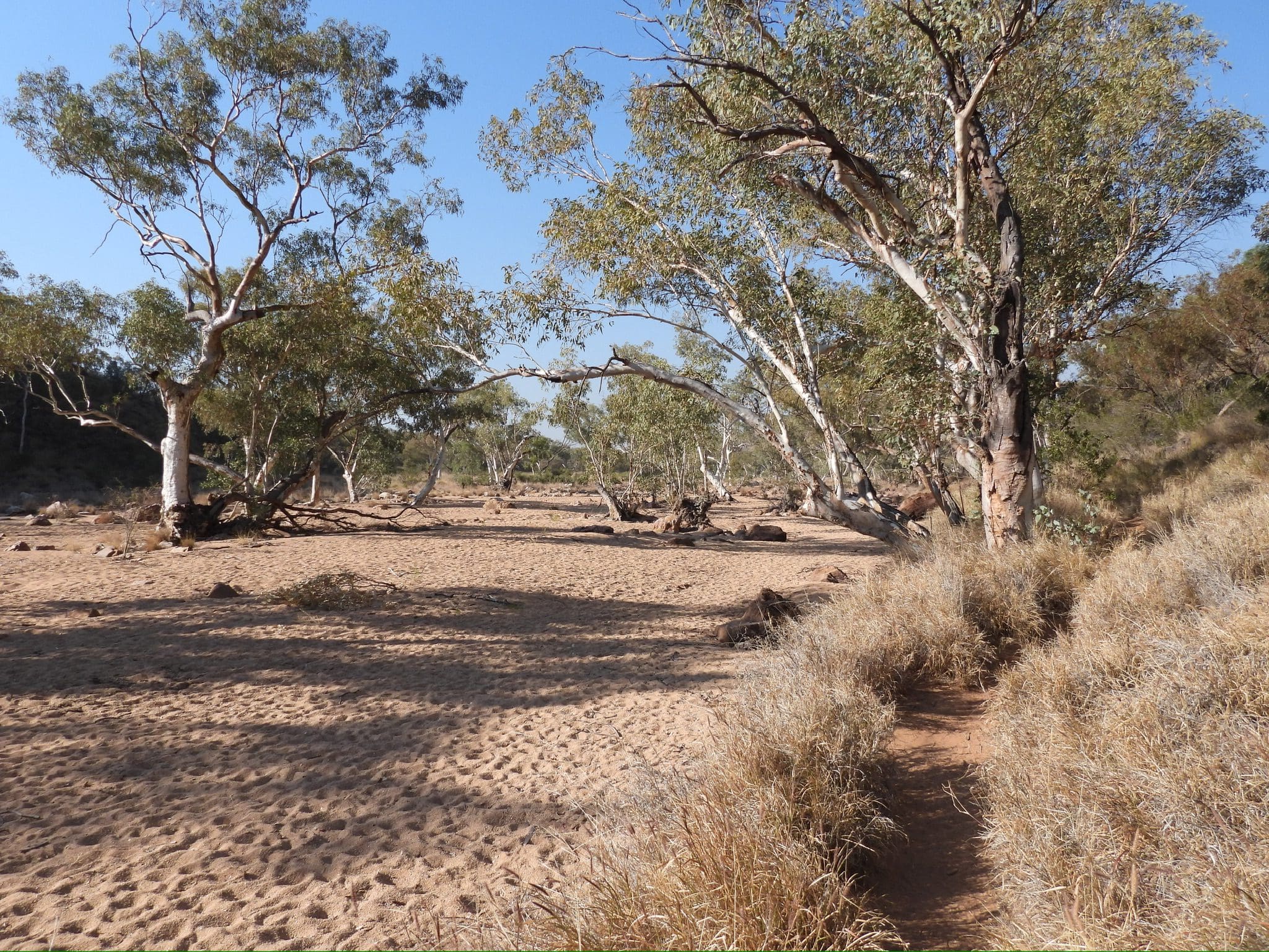
Monday 29 May. Day 6. Very cold morning. Clear skies again. We left camp at 8:10 and filled up with fuel. Left Marla at 8:40. A long drive along the highway back towards Alice. Lunch stop at Henbury Crater with its multiple impact craters. On to Owen Springs (in the bed of the Hugh River) for an overnight camp in a river bed surrounded by river red gums. Most of the pix below are taken on the morning of 30 May.
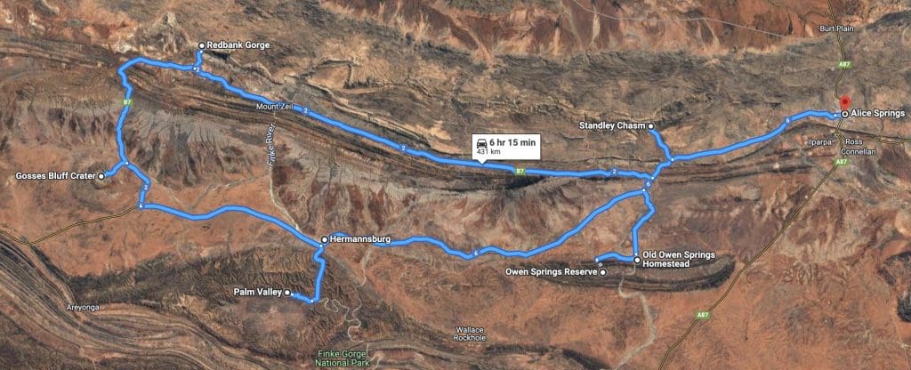
Coates Centre Tour – Western Half – Owen Springs to Alice Springs – Days 7 – 12
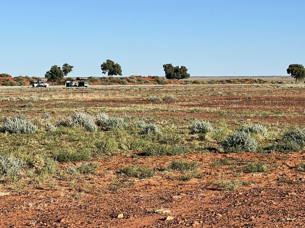
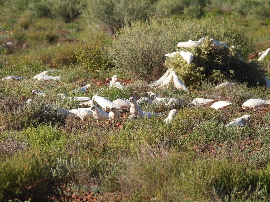
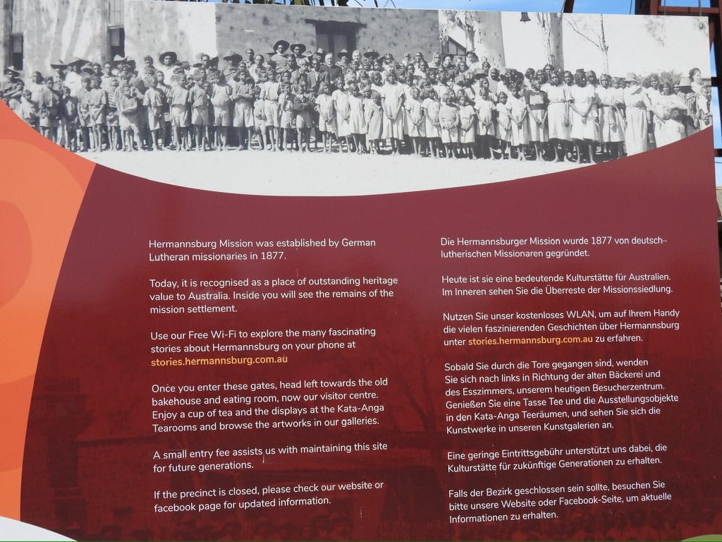
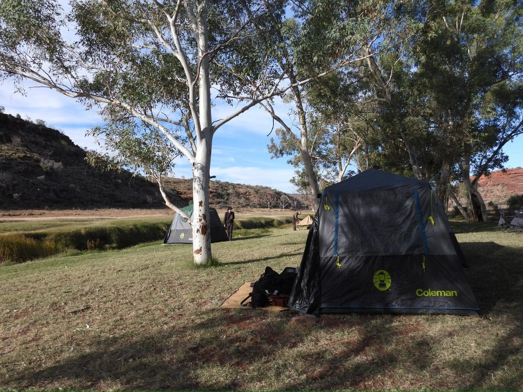
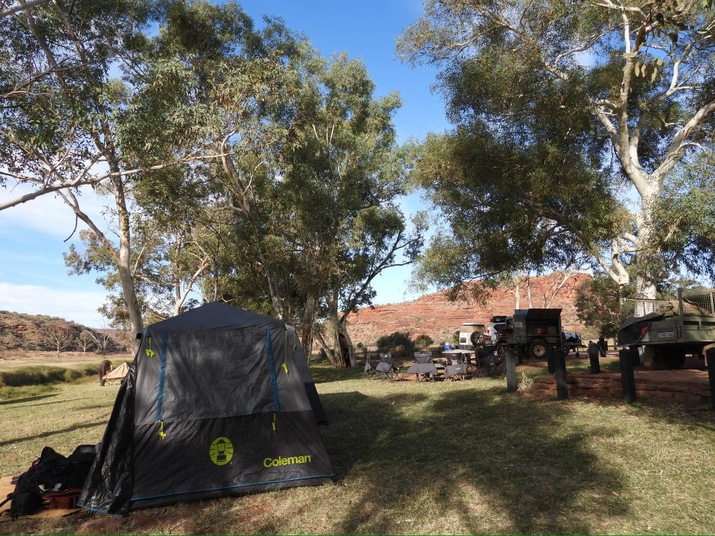
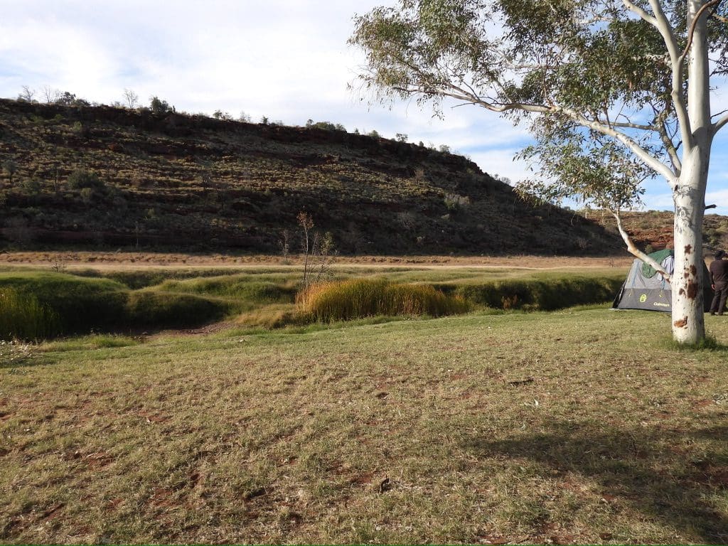
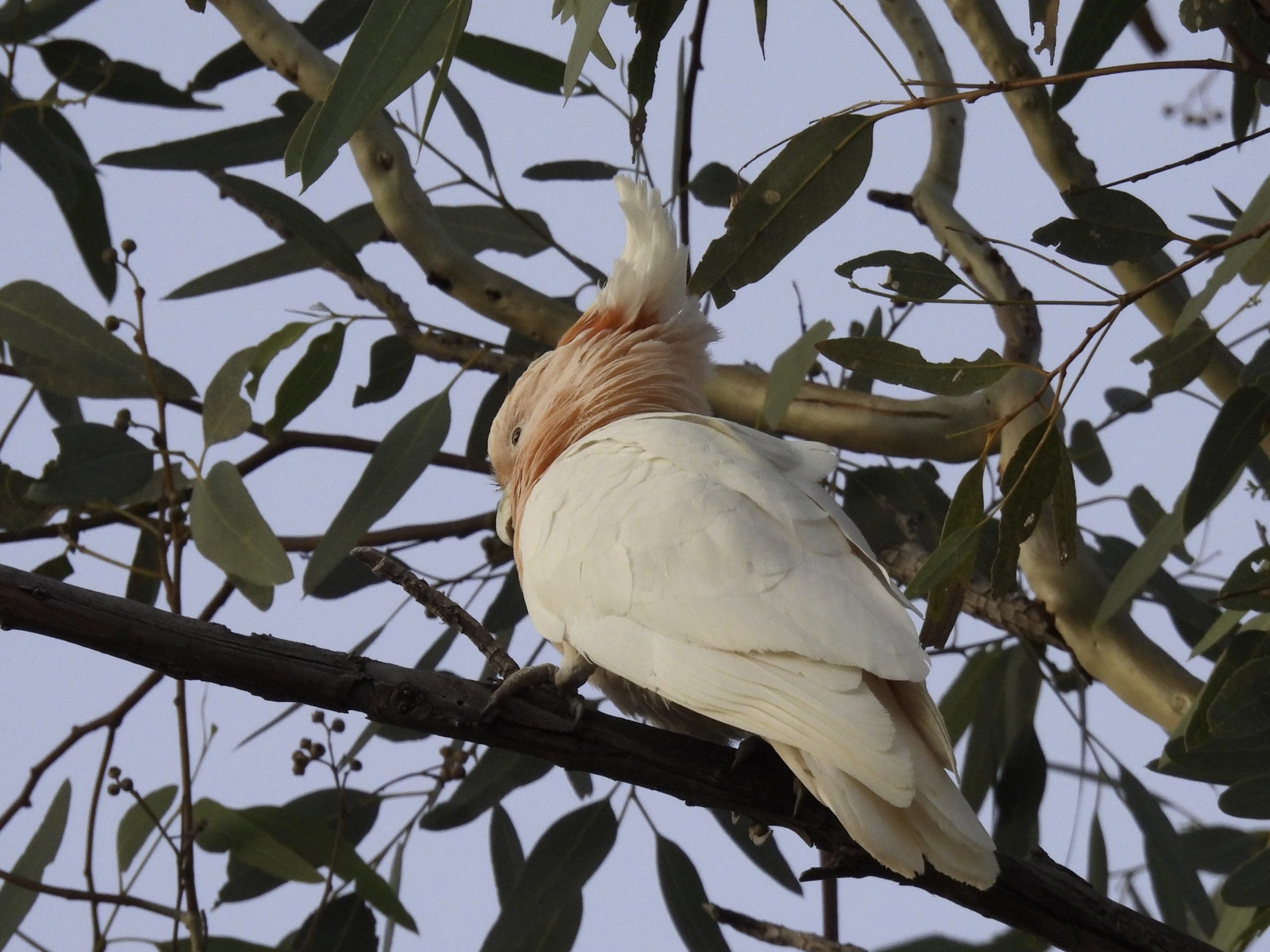
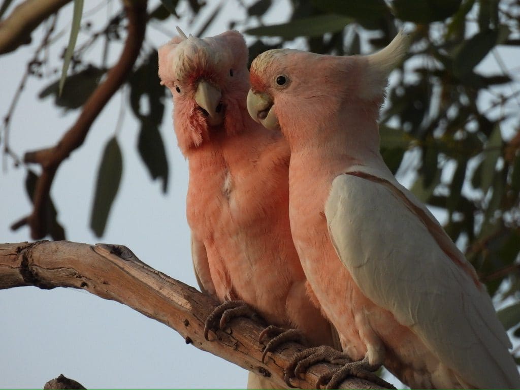
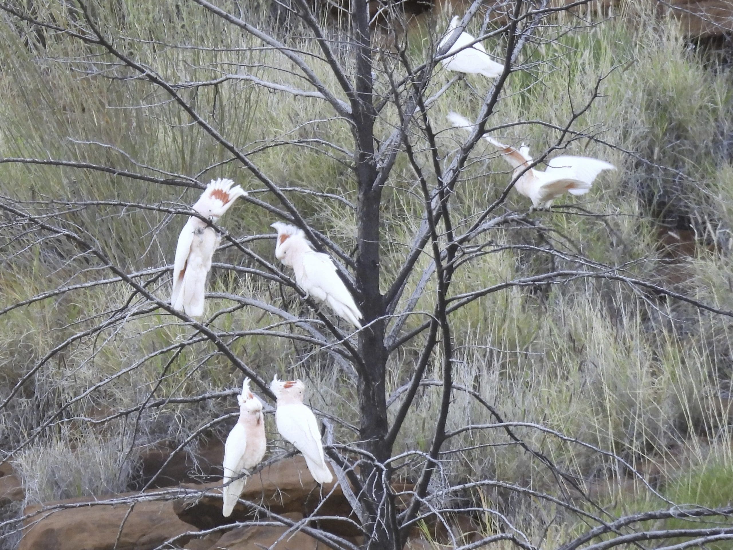
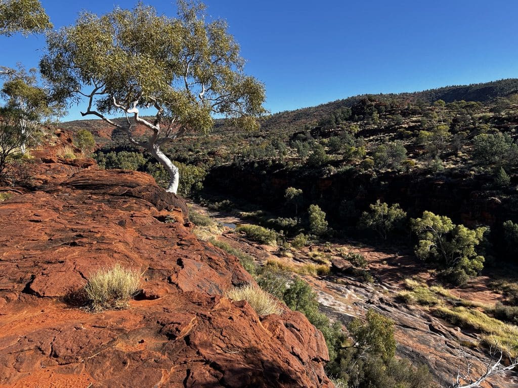
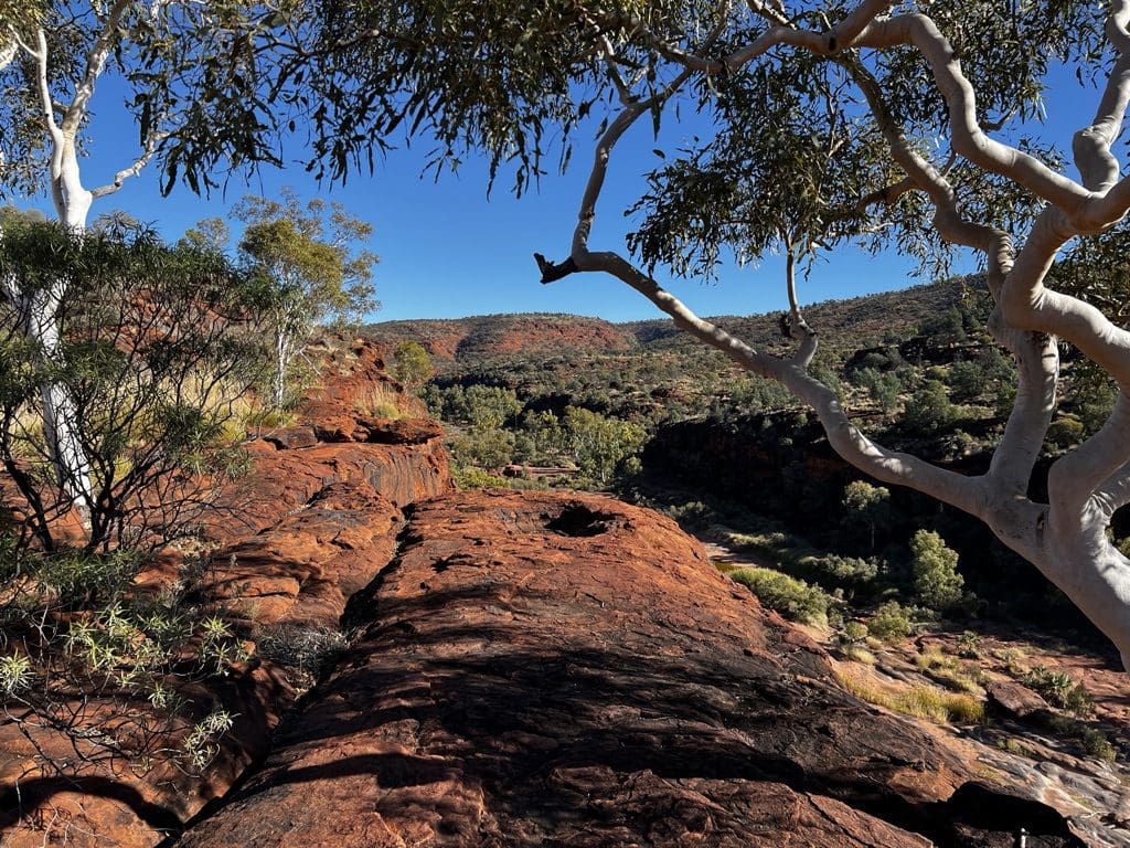
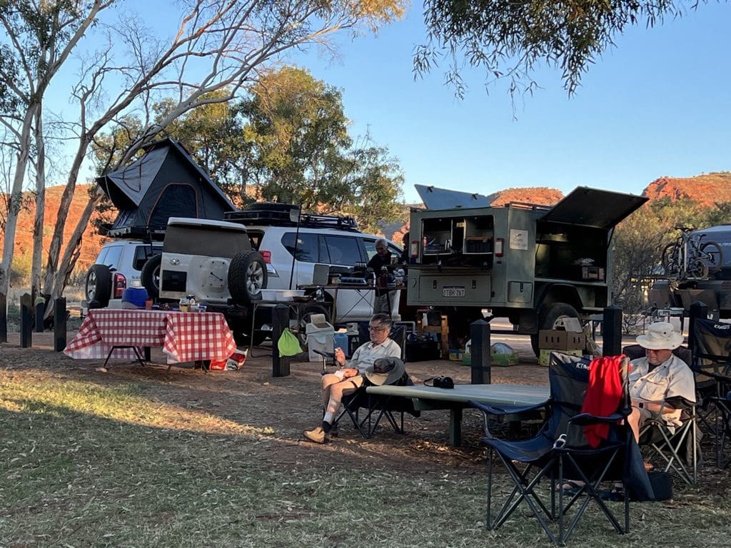
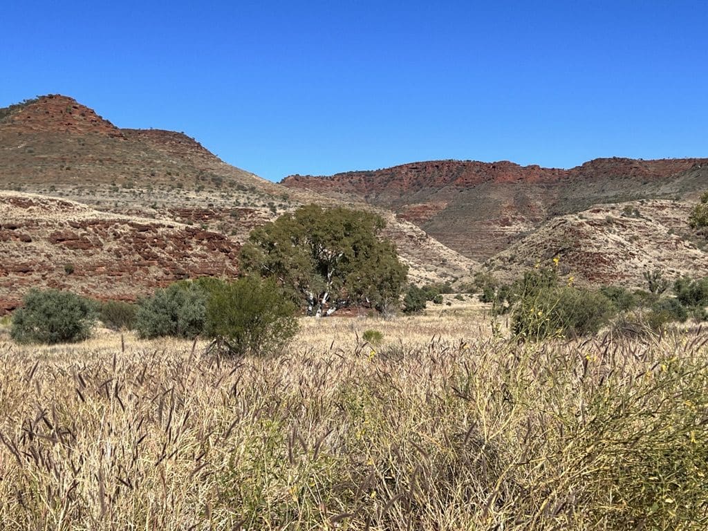
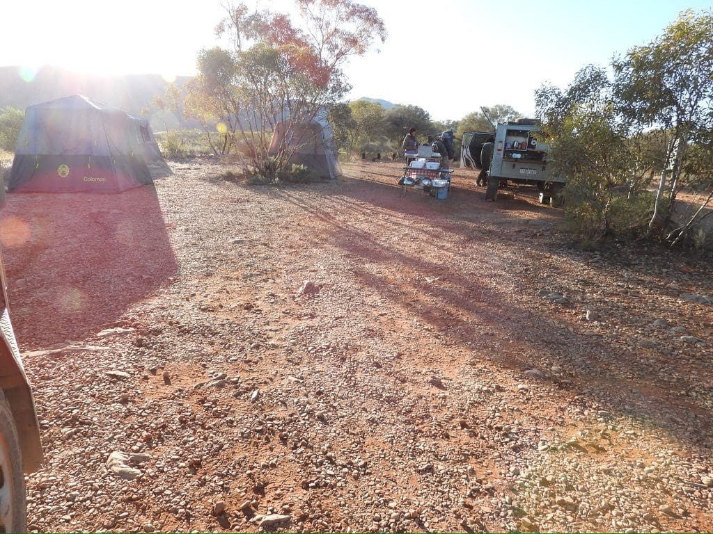
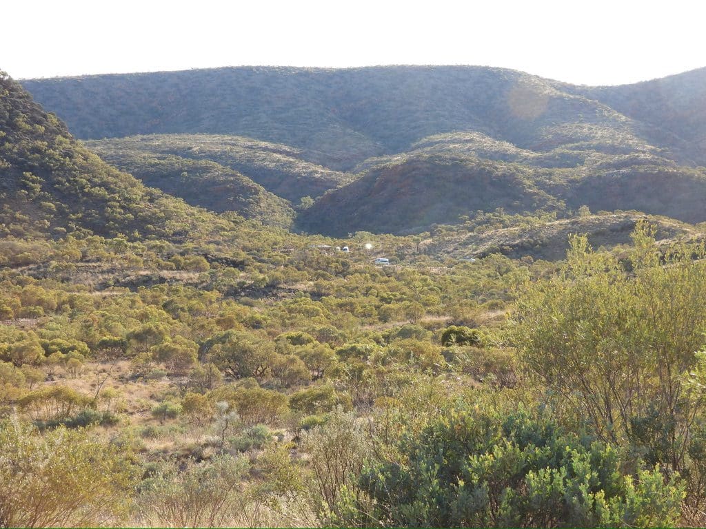
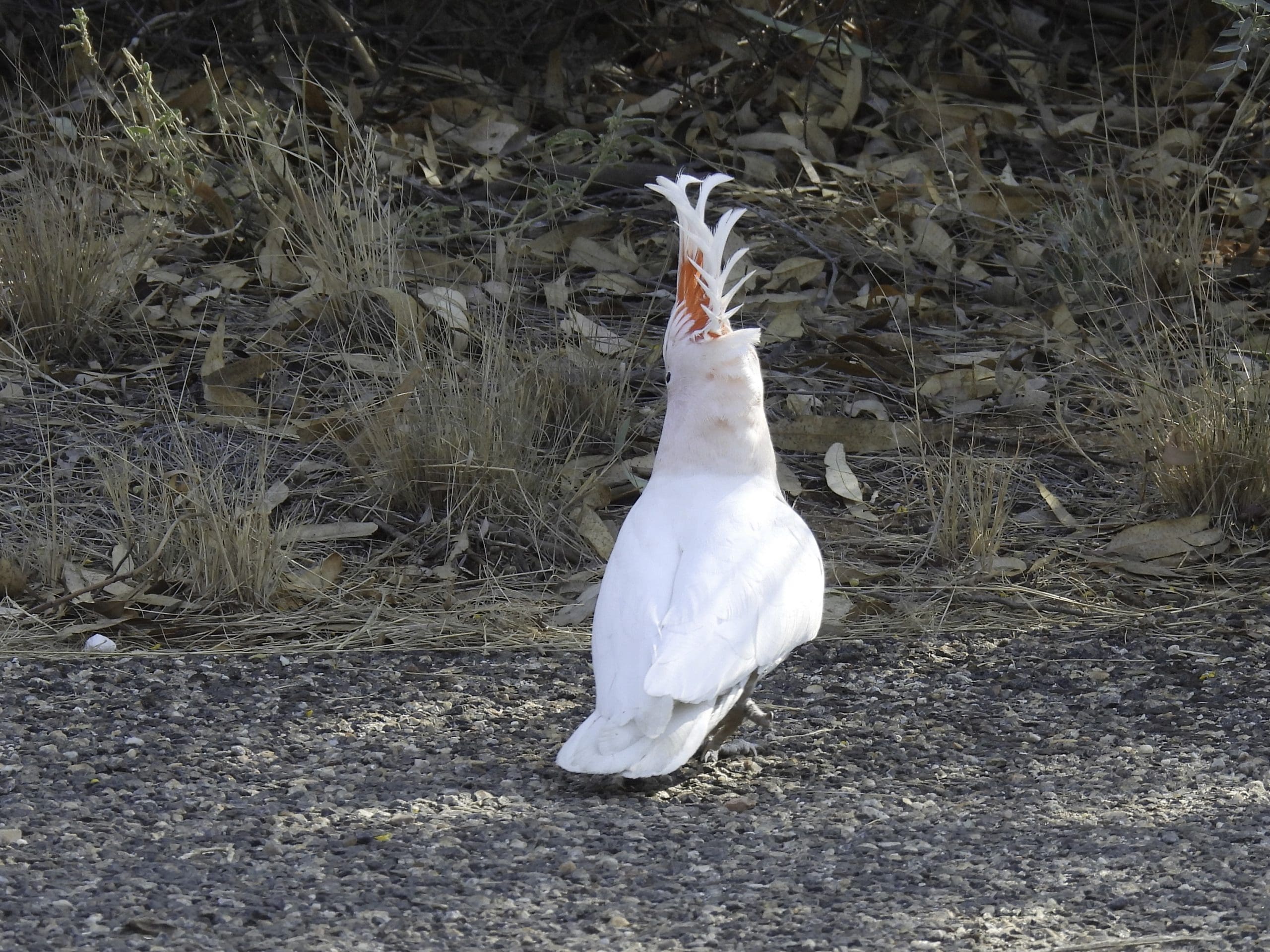
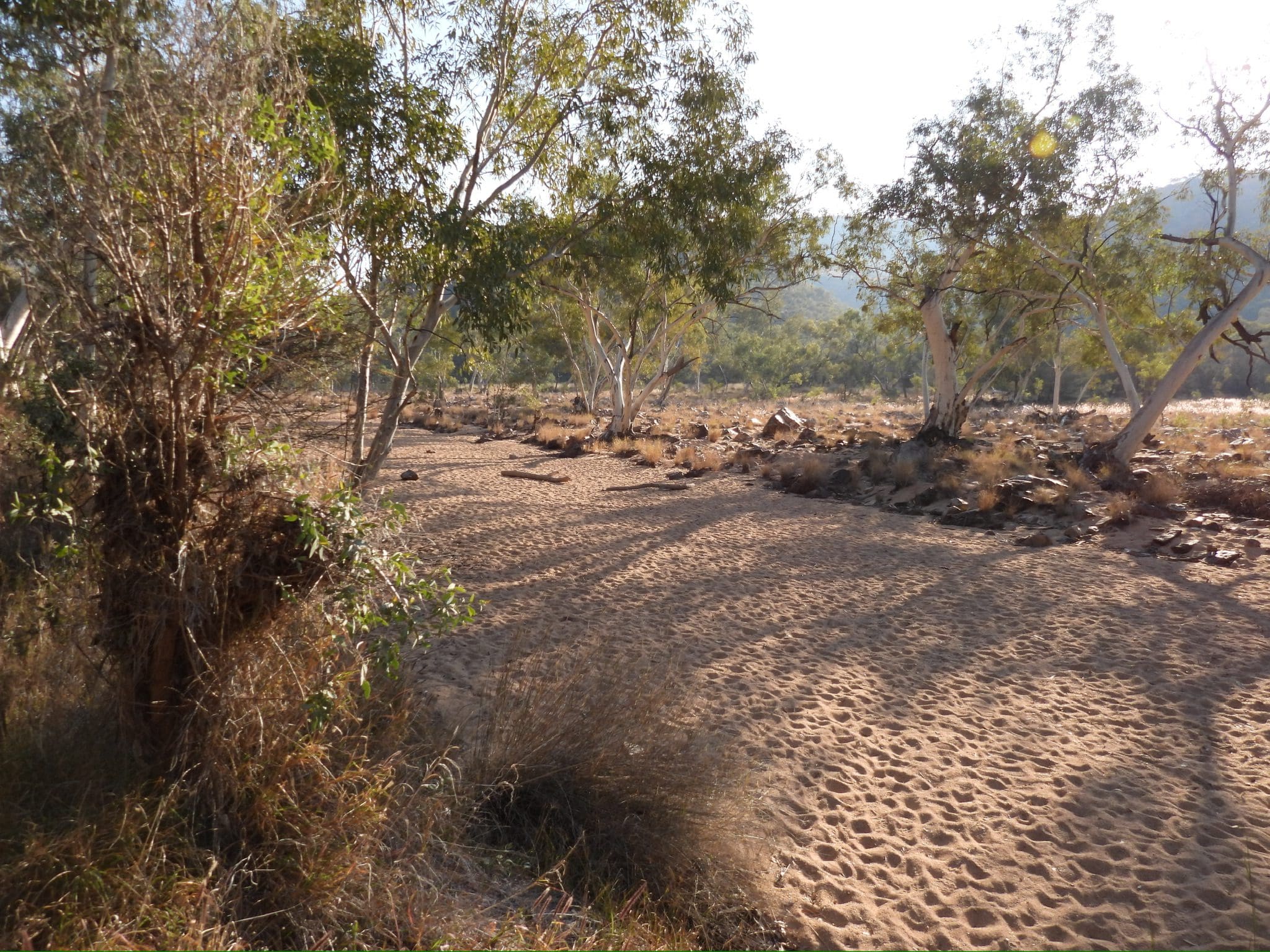
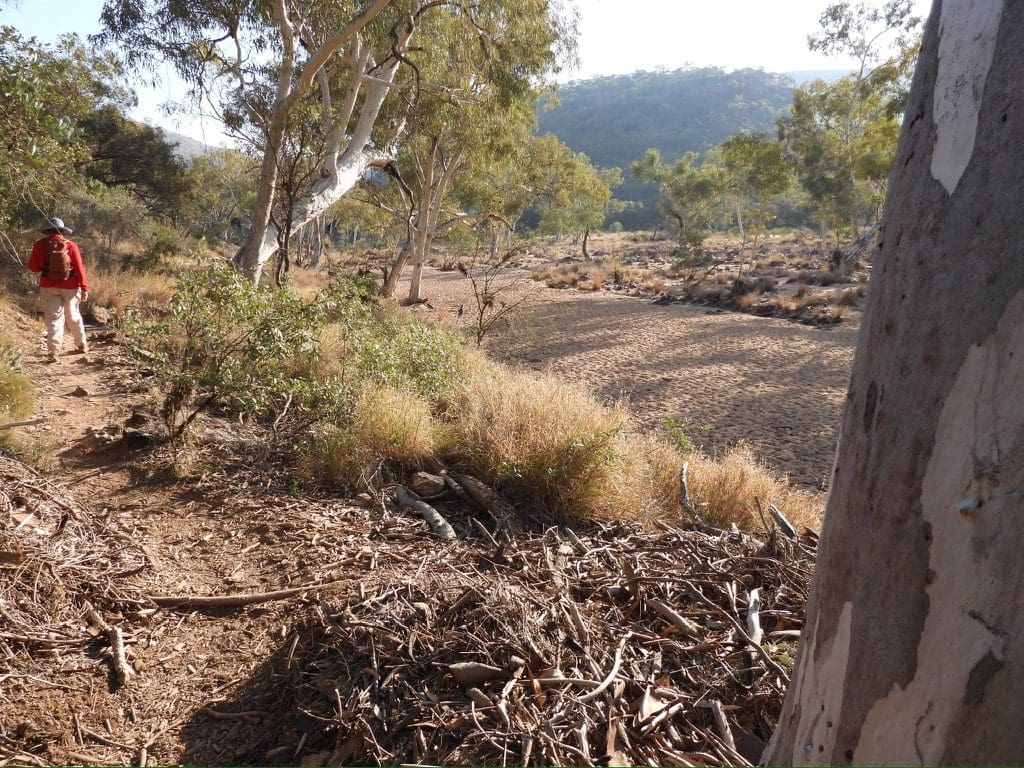
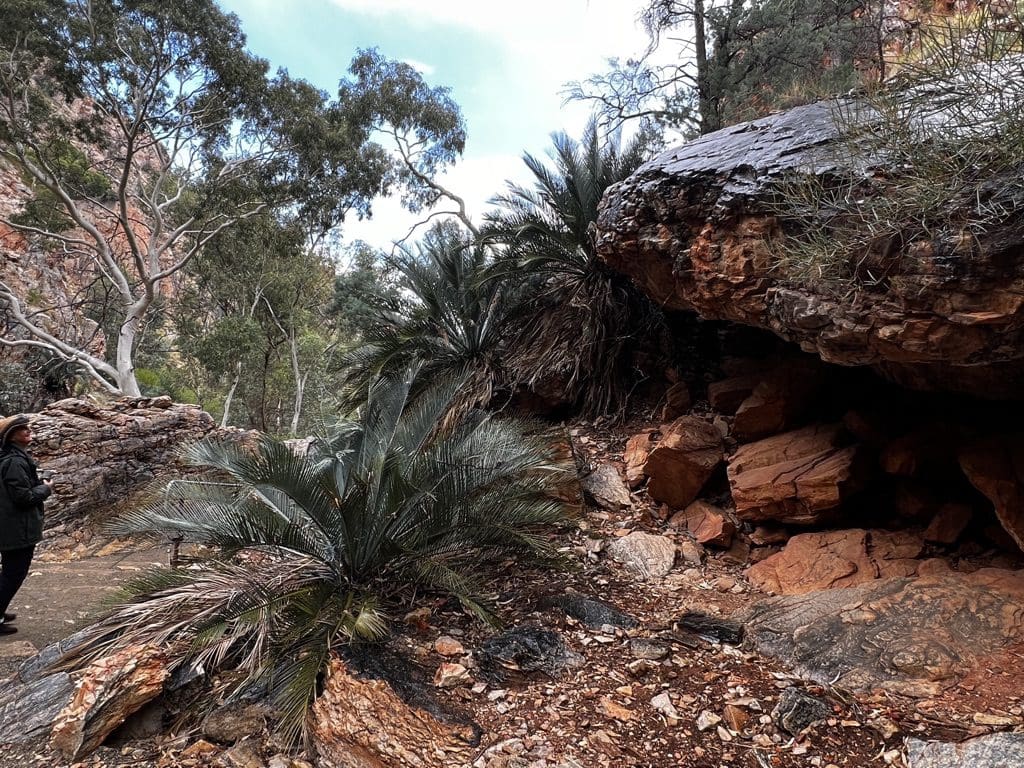
Tuesday 30 May. Day 7. Much less cold morning than yesterday. Probably due to the red river gums that surround us. Drive north mostly along the Hugh River dry stream bed of the river for about 20km to join the Larapinta highway and then to Hermannsburg, which despite its history we declared boring. So we drove to the Palm Valley turnoff for a roadside lunch. On to Palm Valley campground by 3pm. Tents up by 3:45. This turned out to be a huge day for photographs – especially at our campsite. A noisy flock of Major Mitchell Cockatoos gathered at the campground for the night.
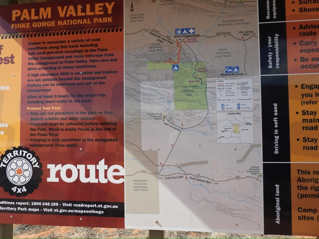

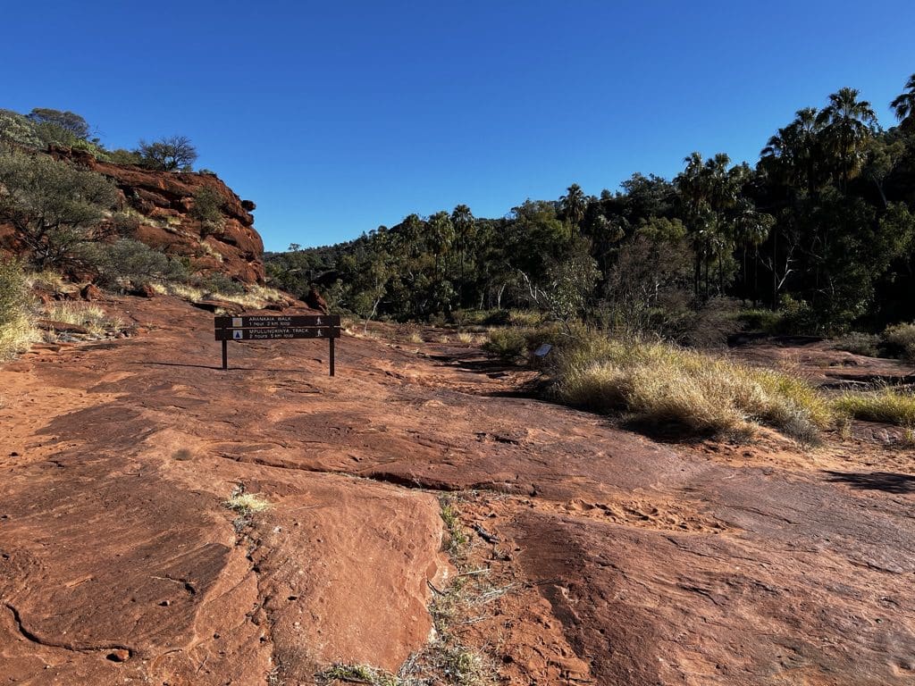
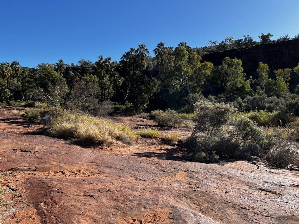
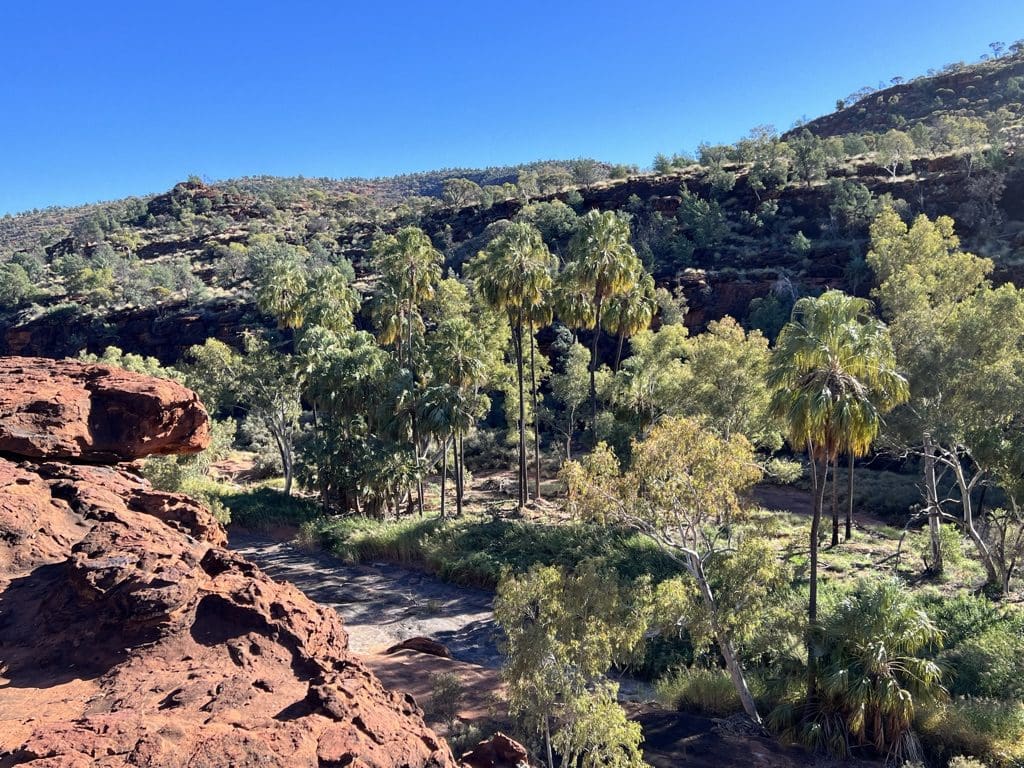
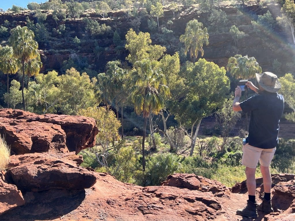
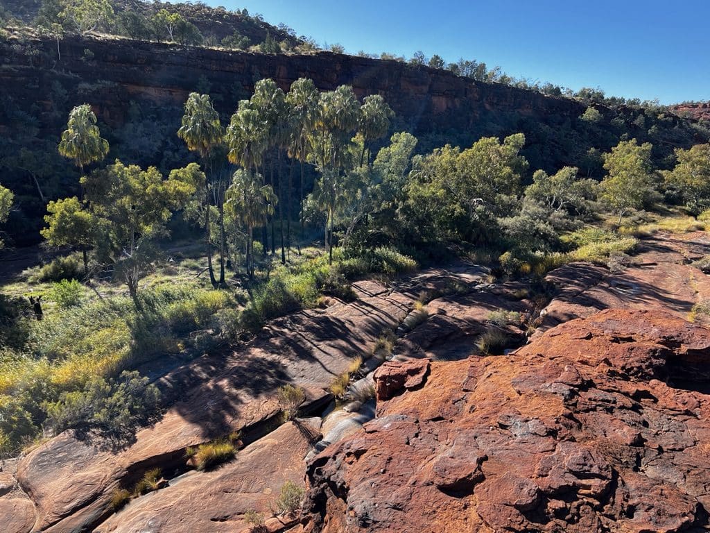
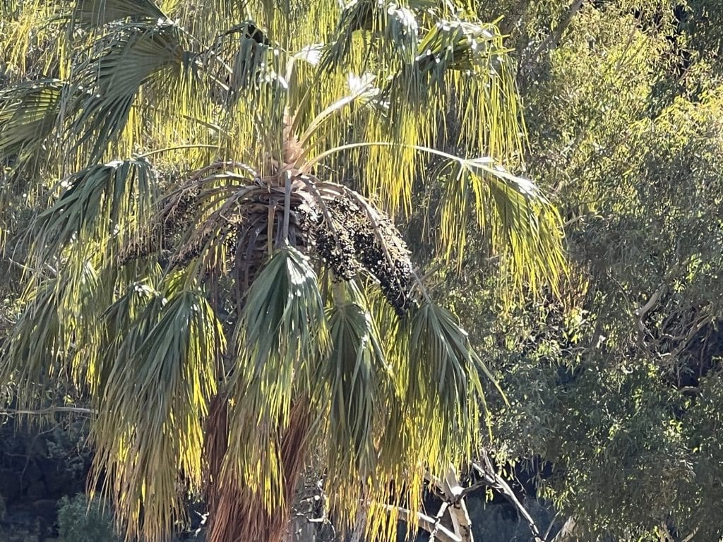
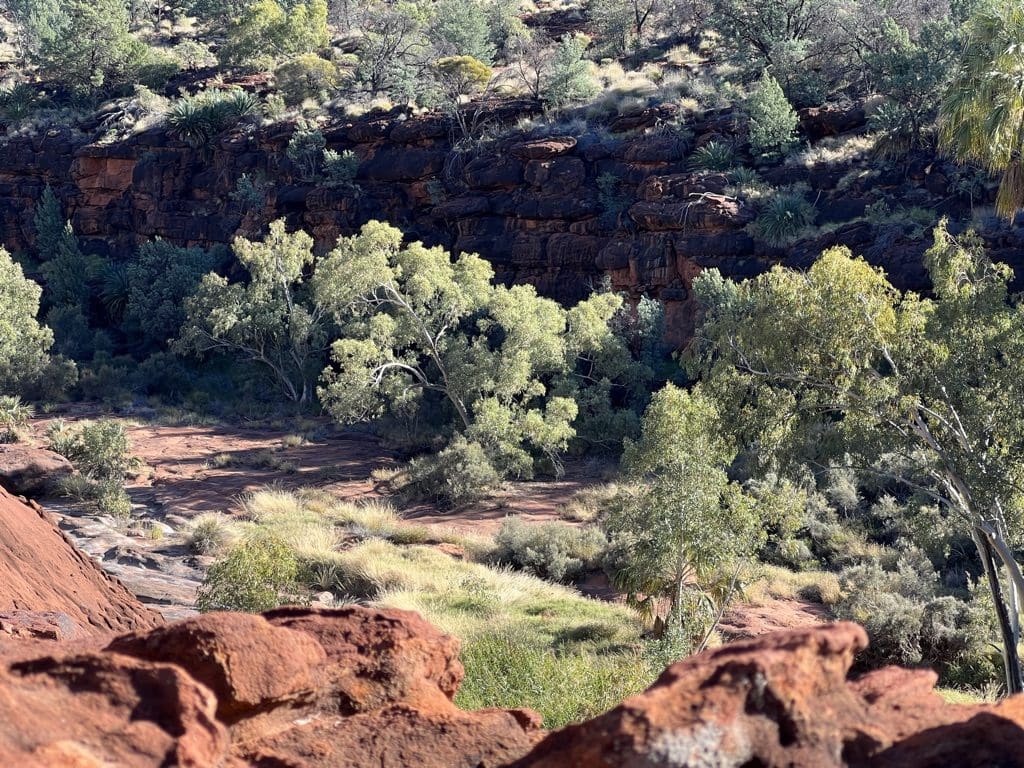
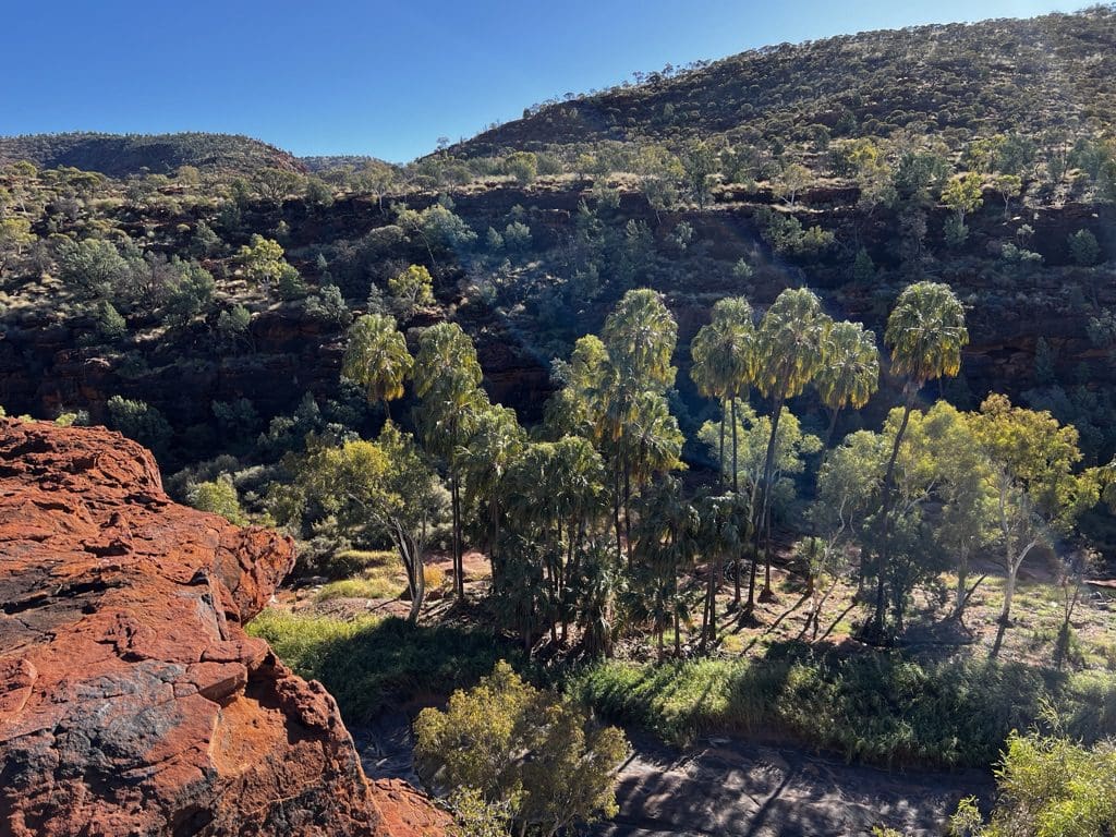
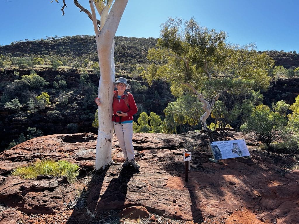
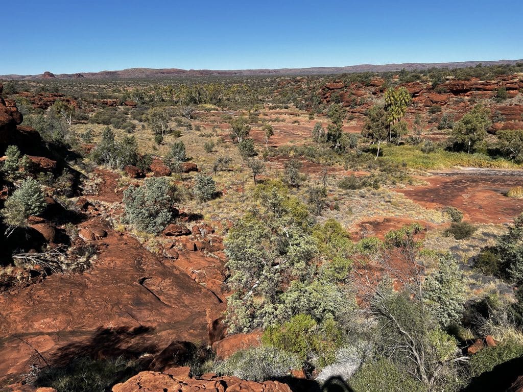
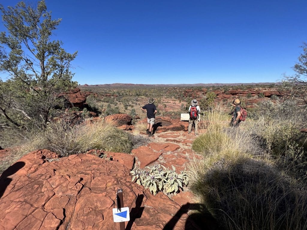
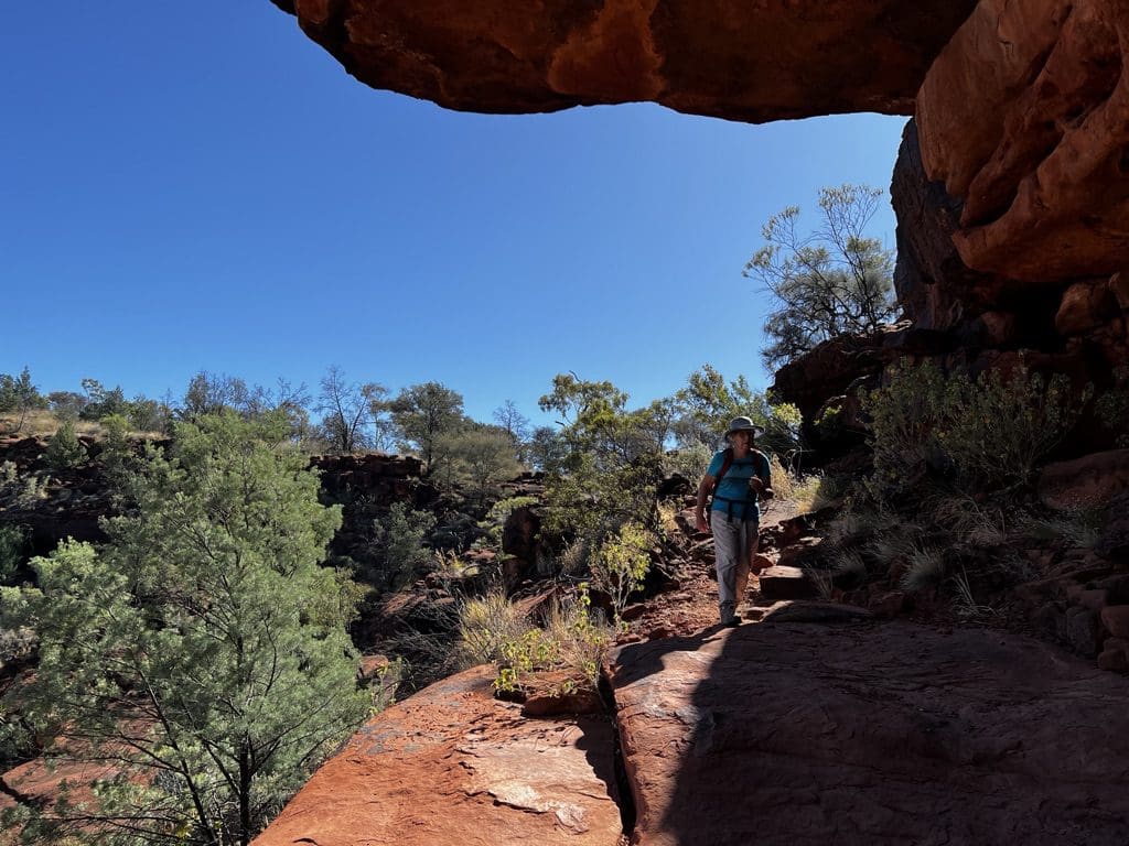
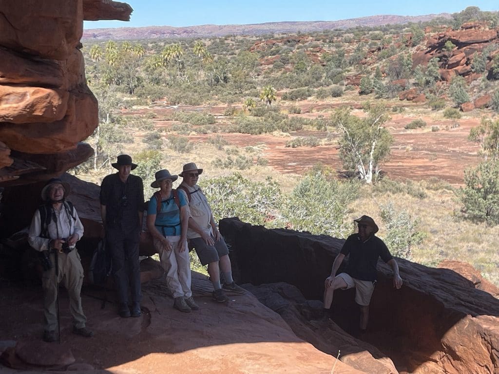
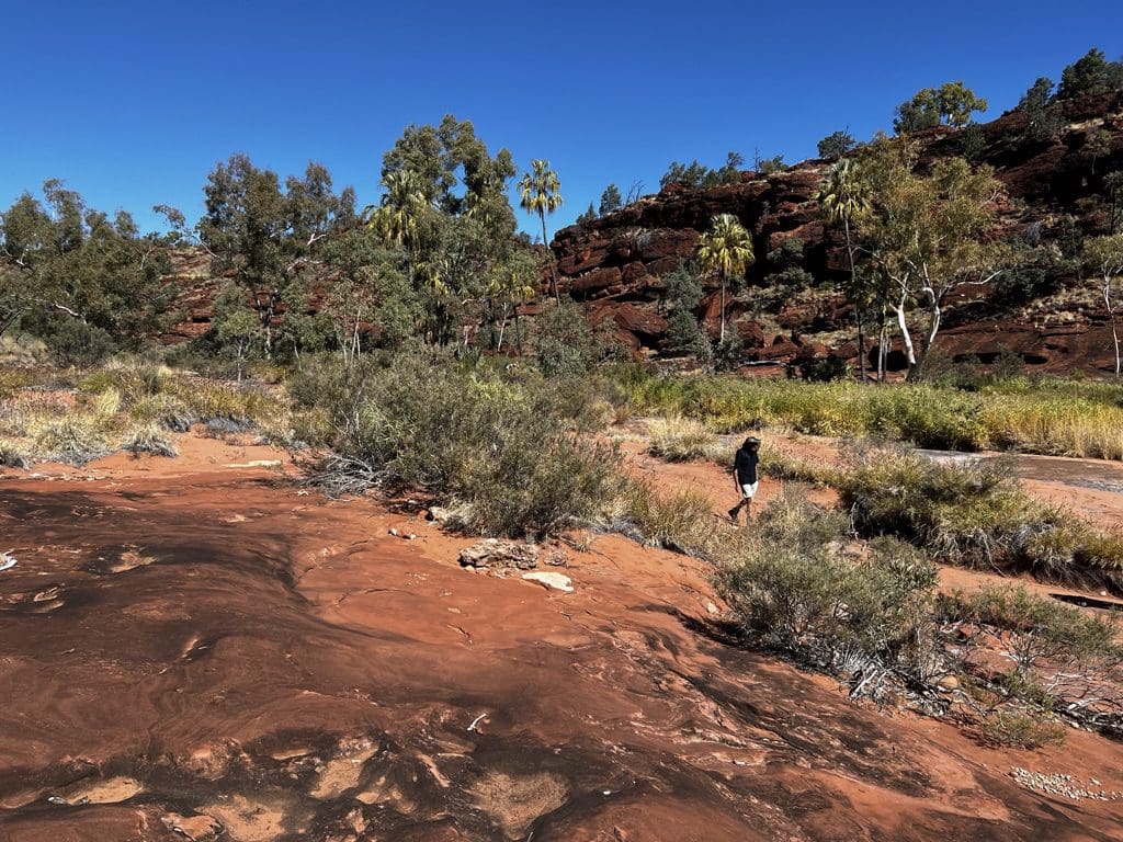
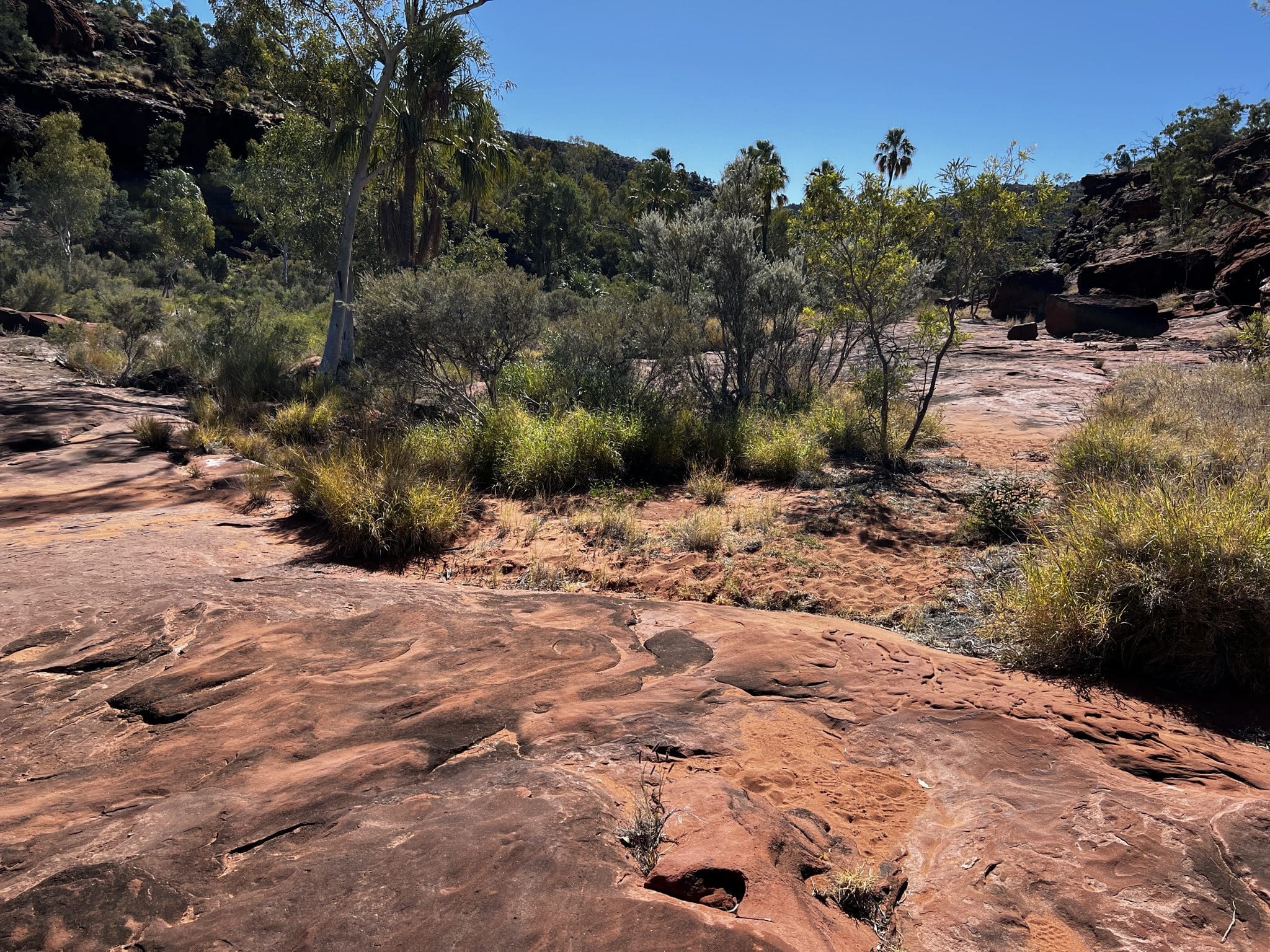
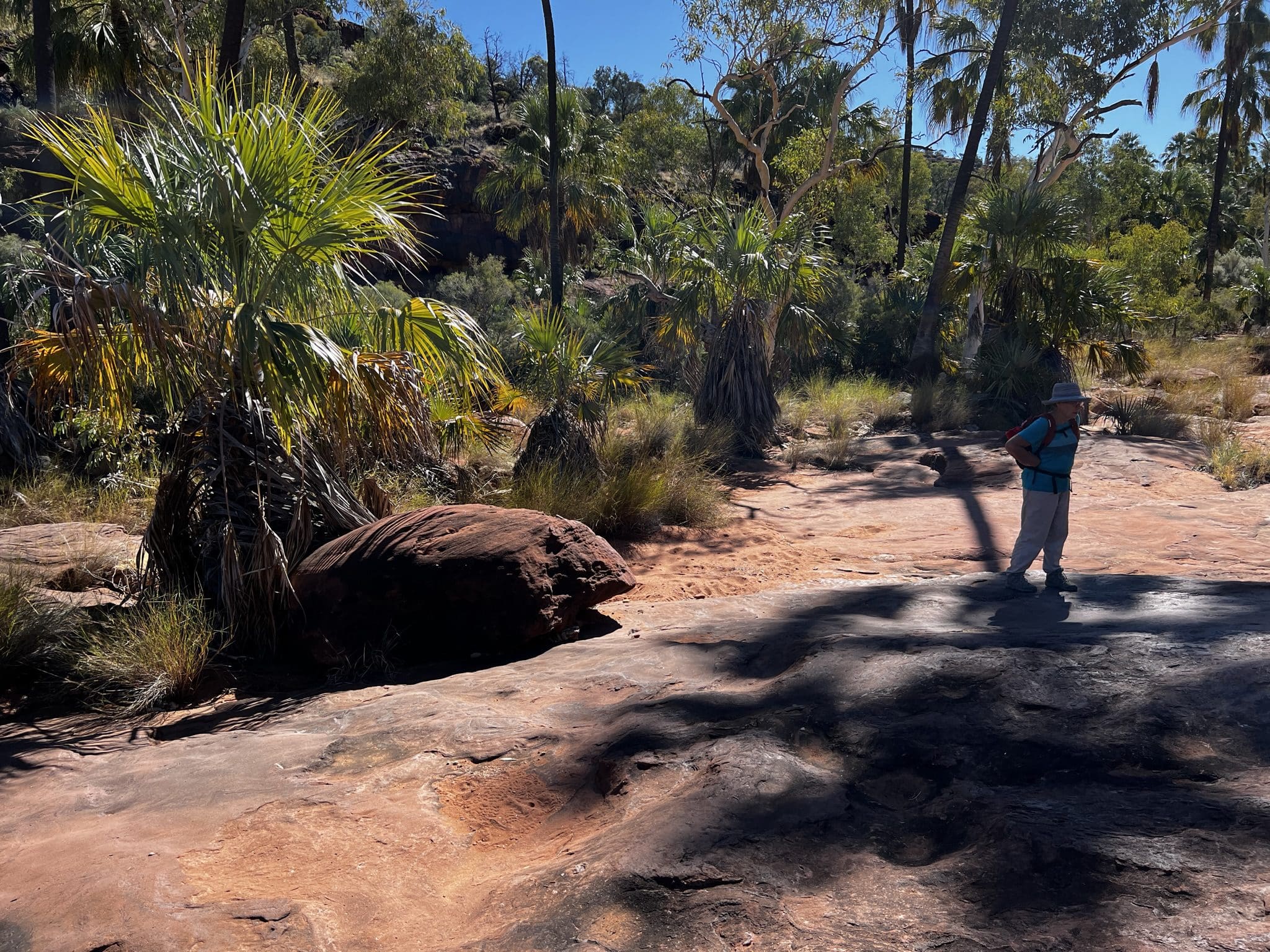
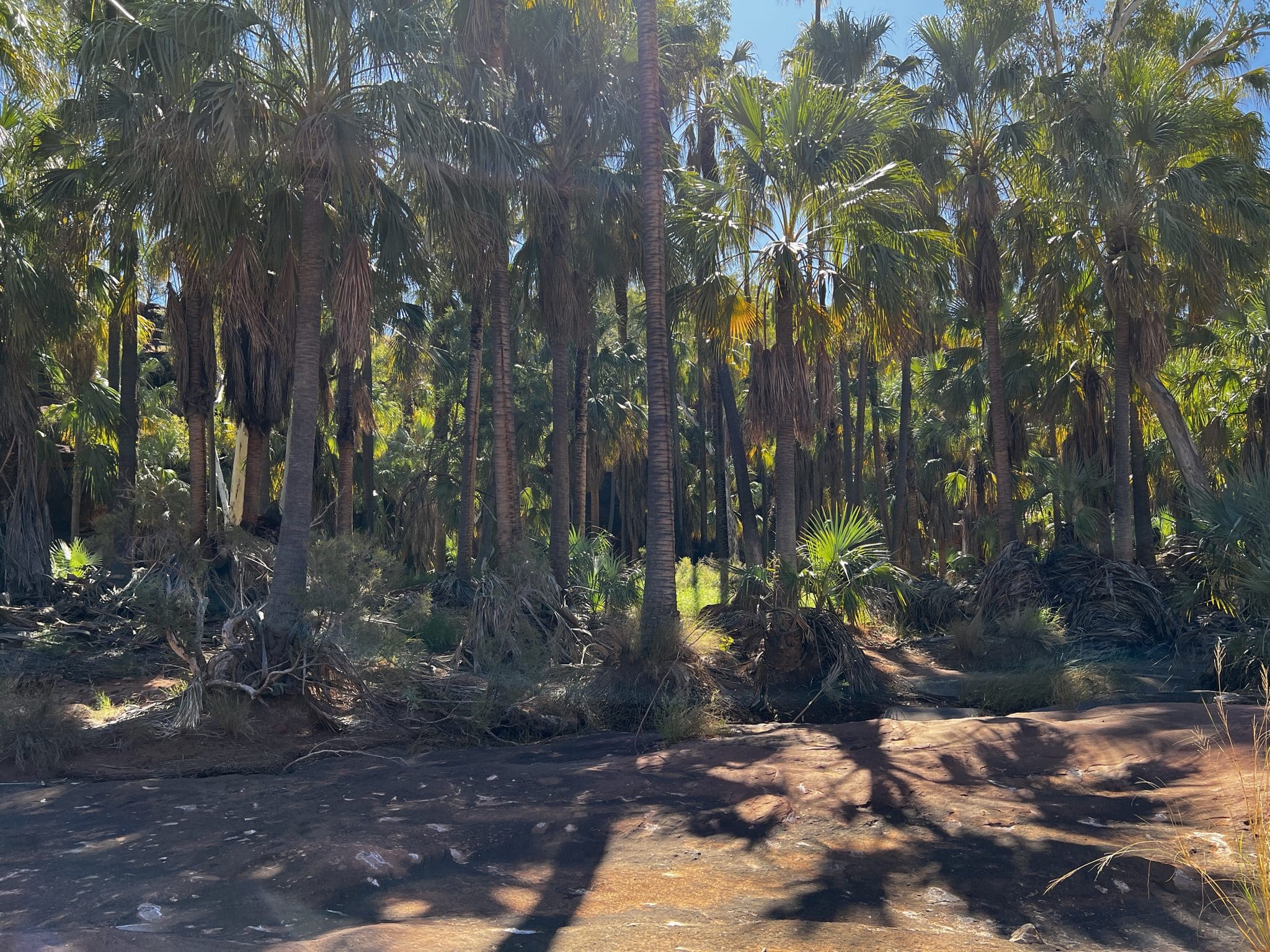
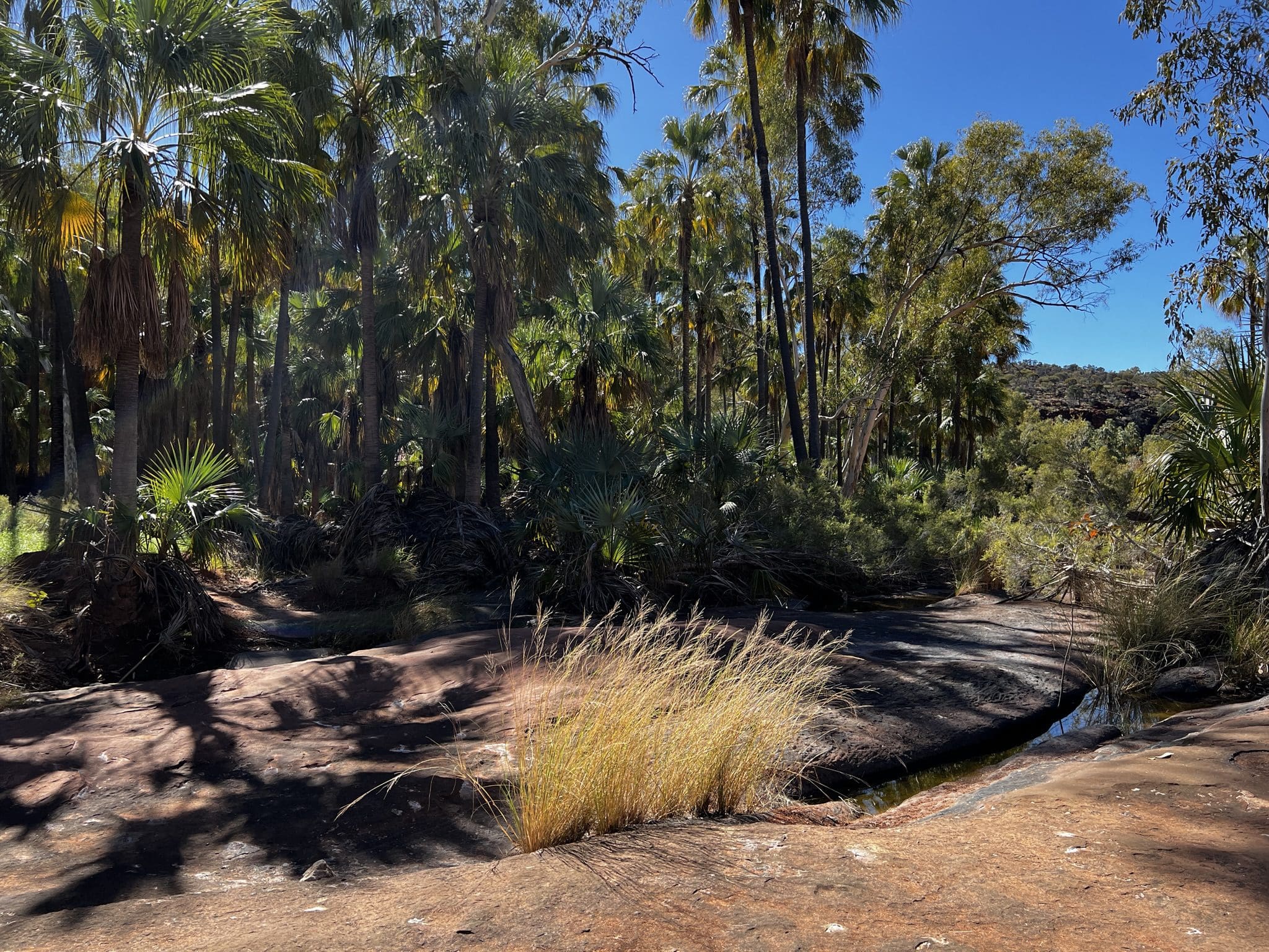
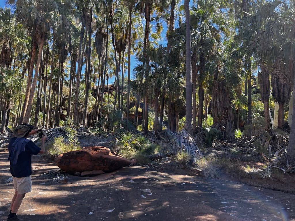
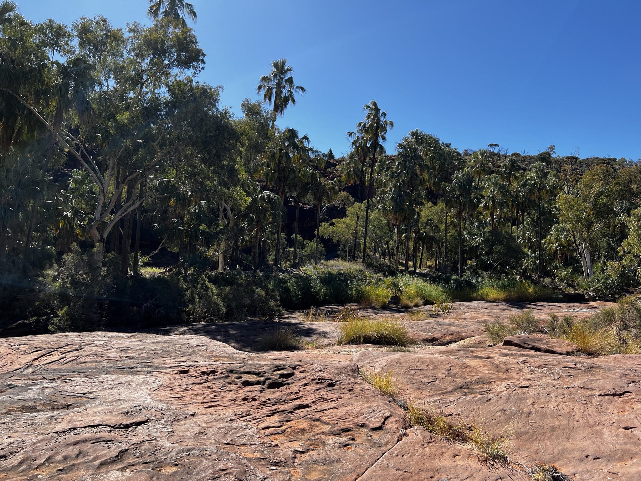
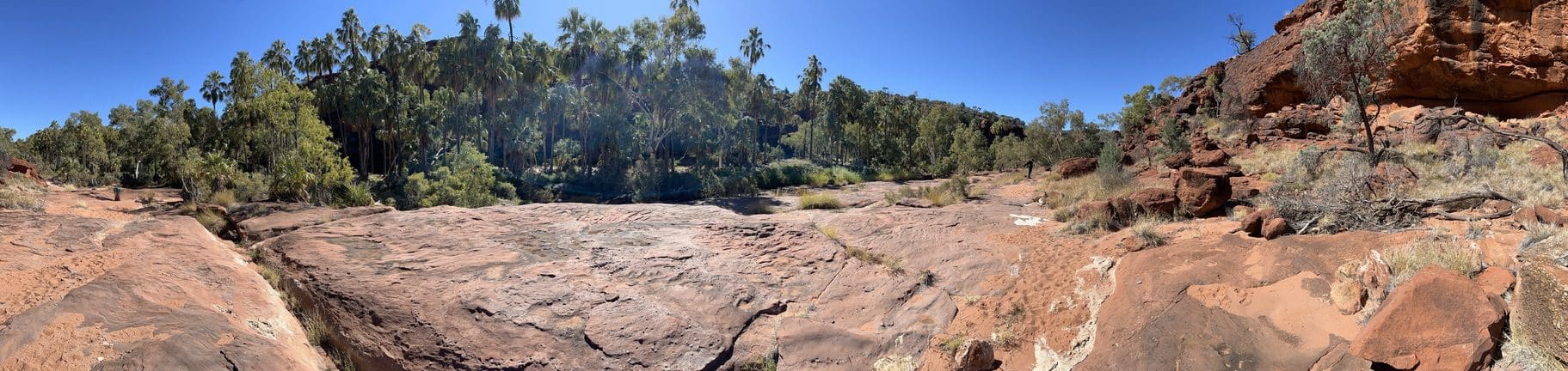
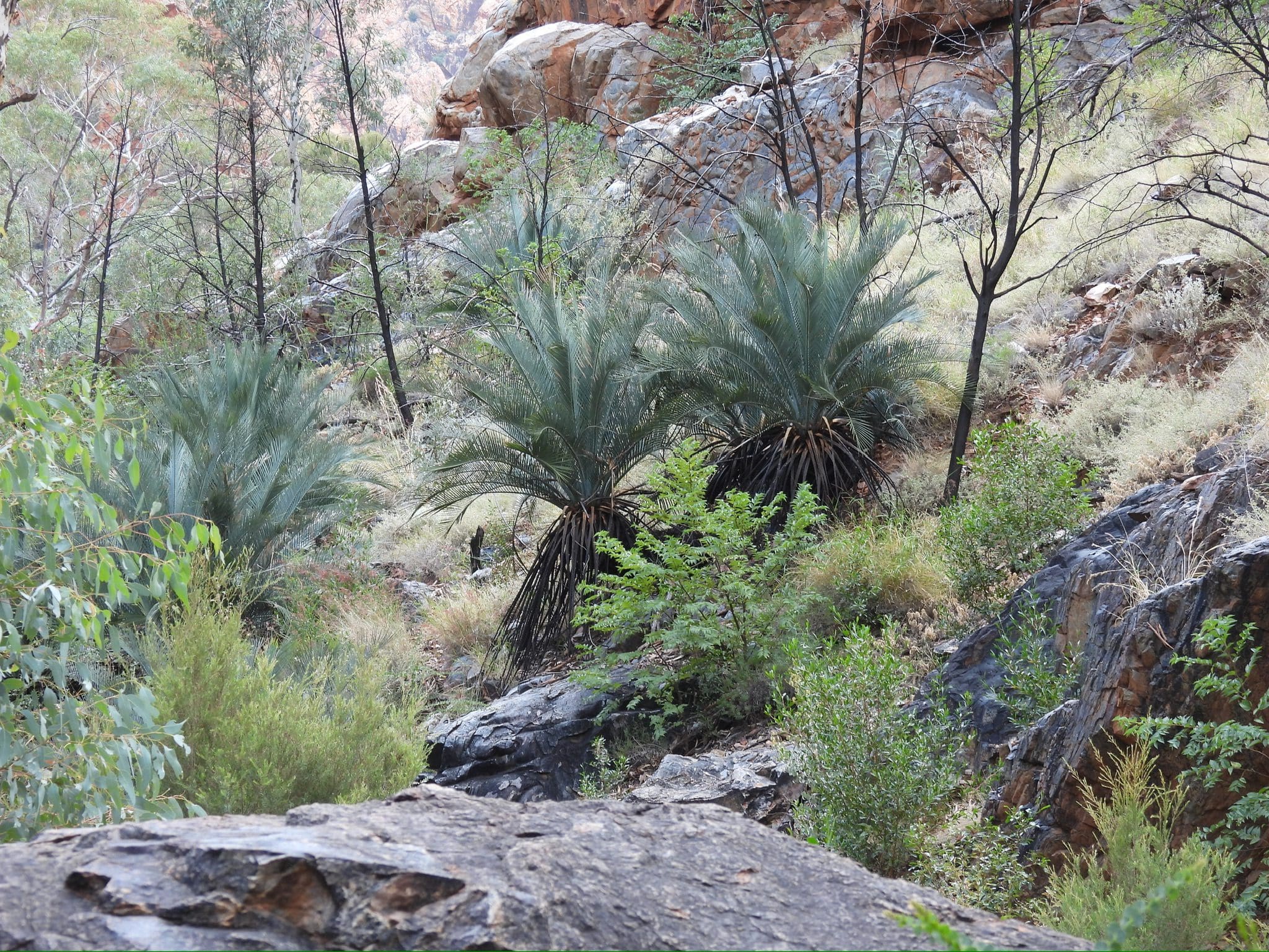
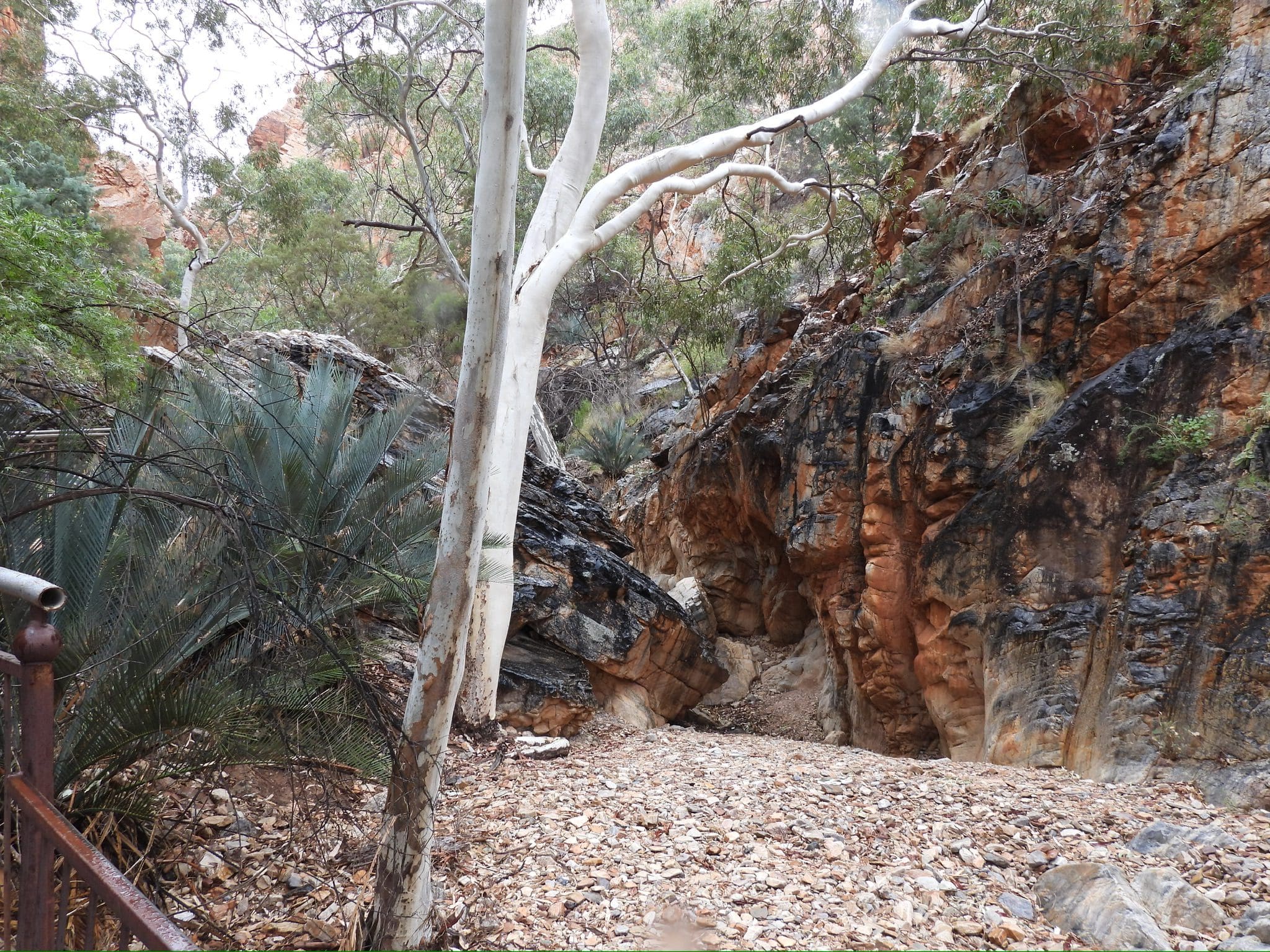
Wednesday 31 May. Day 8. A much milder morning today and we had a little sleep in. Mid-morning we drove off on a very tricky ‘road’ to the trailhead for our walk around the Palm Valley walk. The palms are thought to have been brought down from Mataranka about 15,000 years ago by aboriginal people. This means they are not a residue rainforest species as was first thought. (Recall Australia was covered with rainforest until recently – geologically speaking.) We walked the longer walk over the top of the ridge before descending to the valley. Unfortunately, we took so long on that part that we were too buggered to do more than glance at the palms. Arrived back at the cars quite exhausted. Back to camp for a very late lunch and afternoon of recovery. Early in the morning today, I had downloaded photos from my camera to my iPad and when closing down forgot to put the SD card back in the camera. So, all my photos today were taken with my phone. During the process, that SD card became unusable. I hope I can recover it when we get back. New SD card tomorrow.

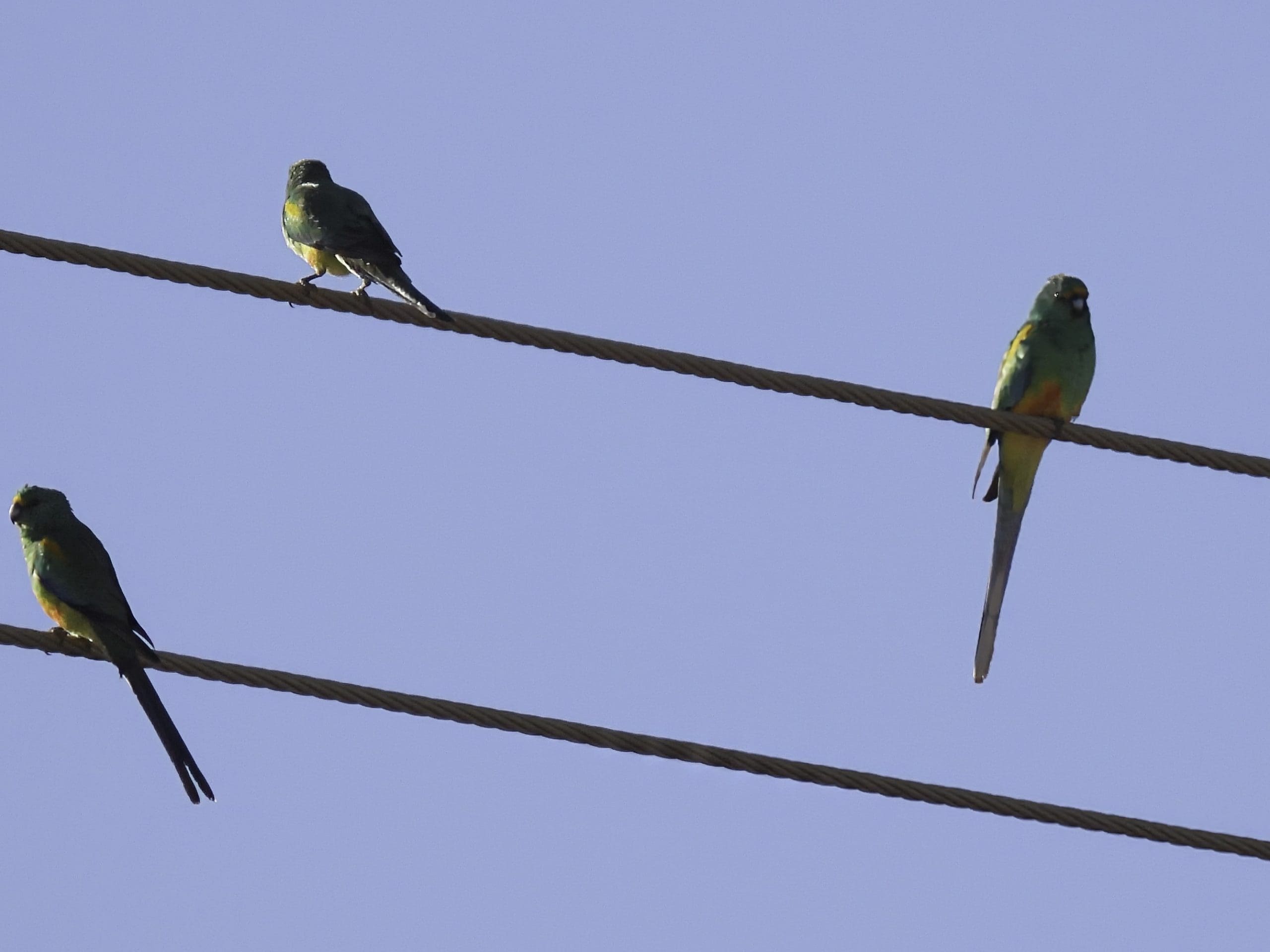
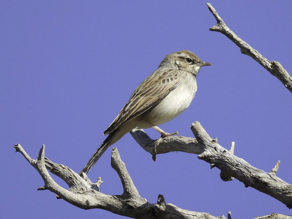
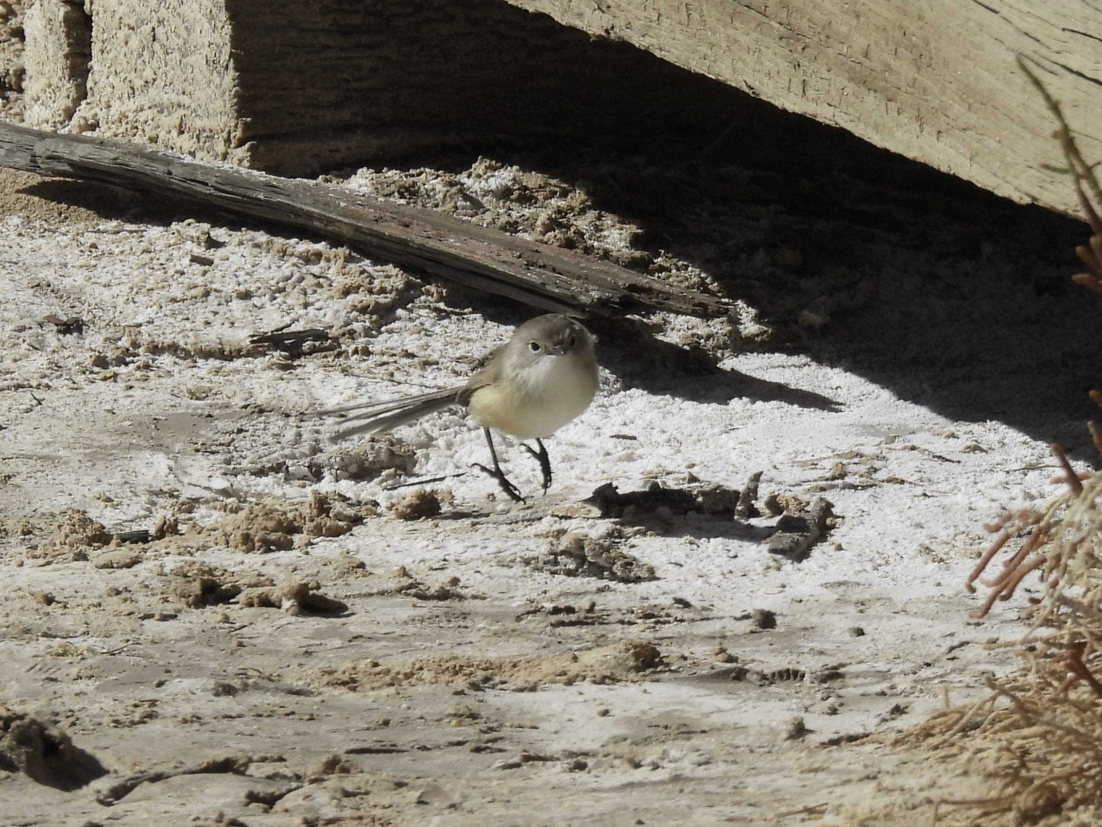
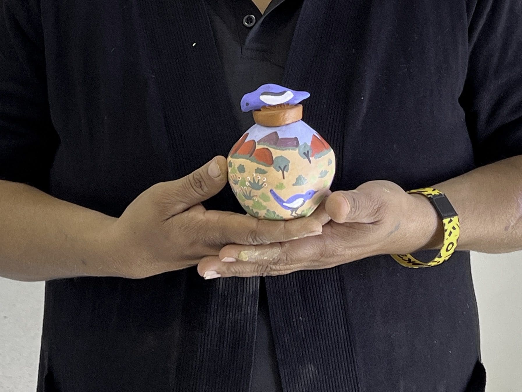
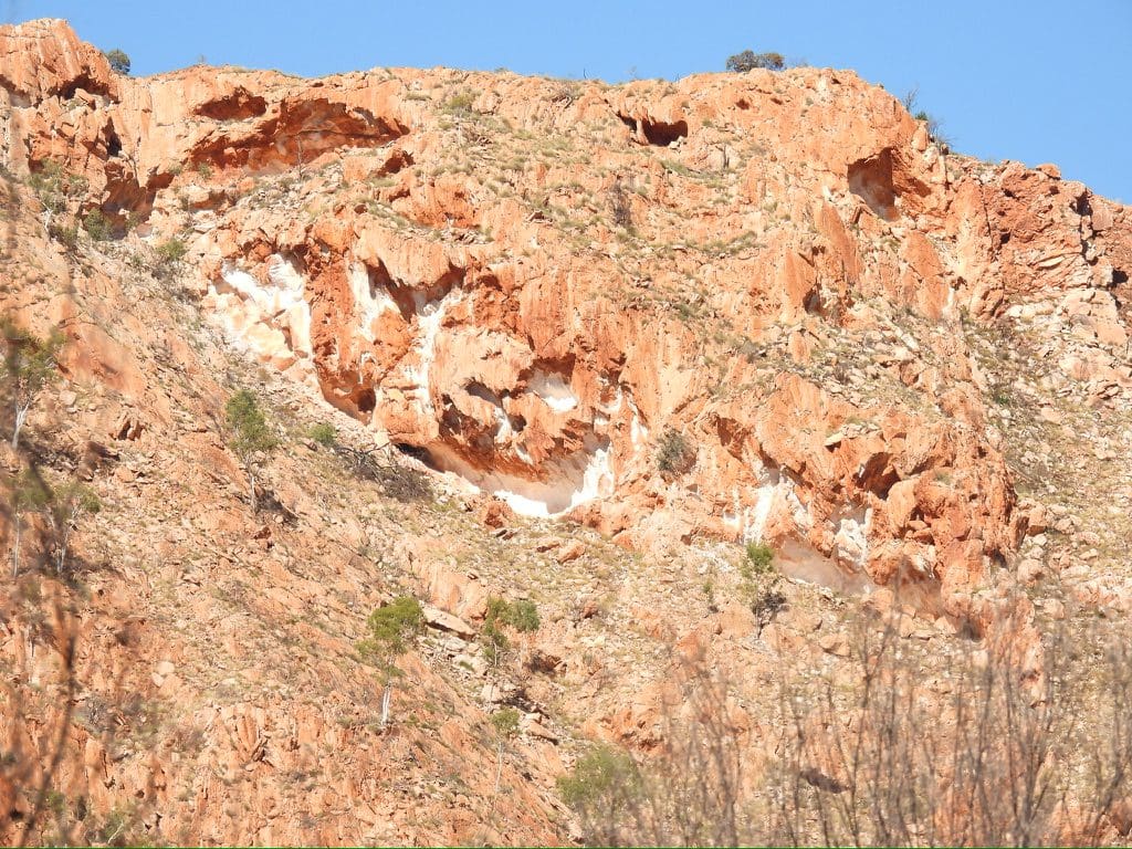
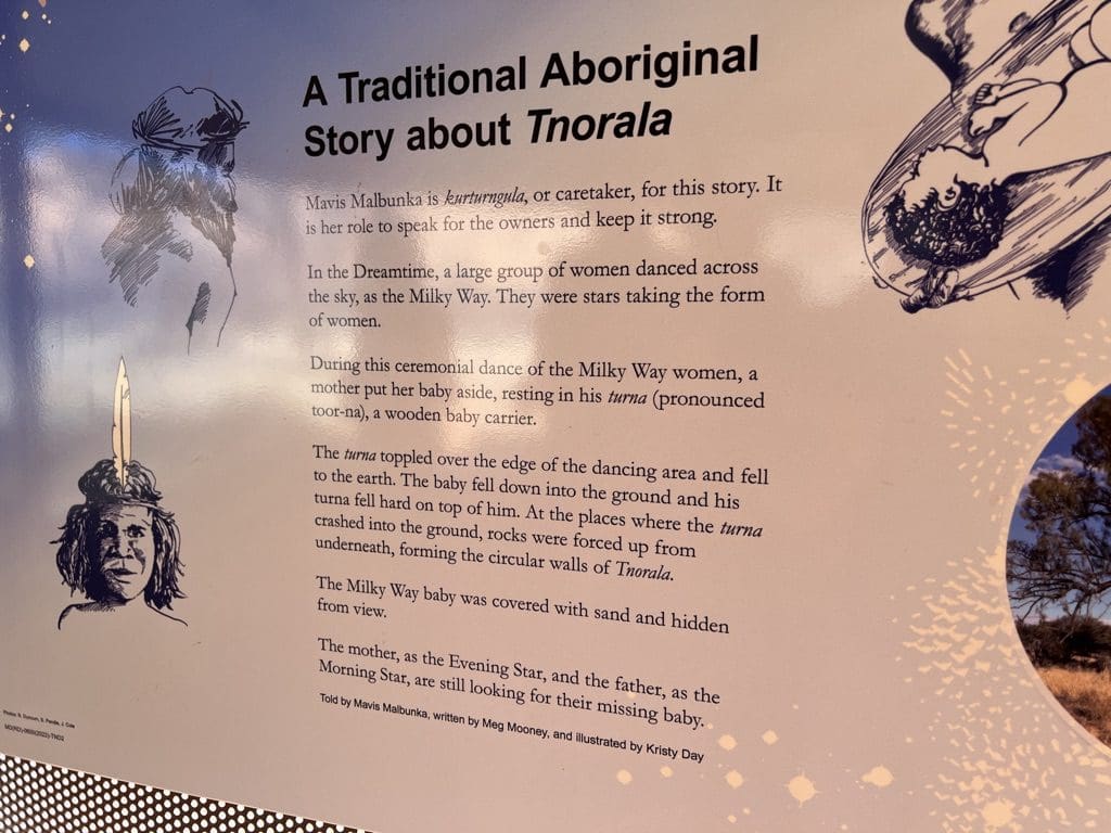
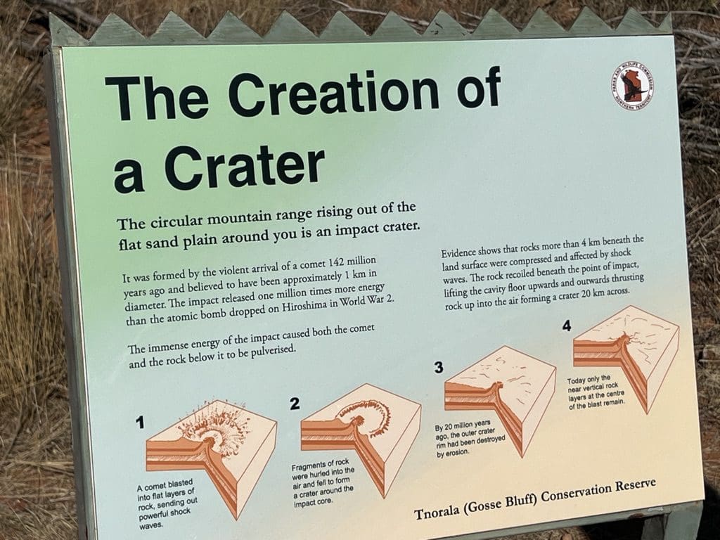
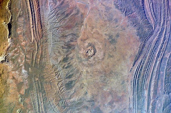
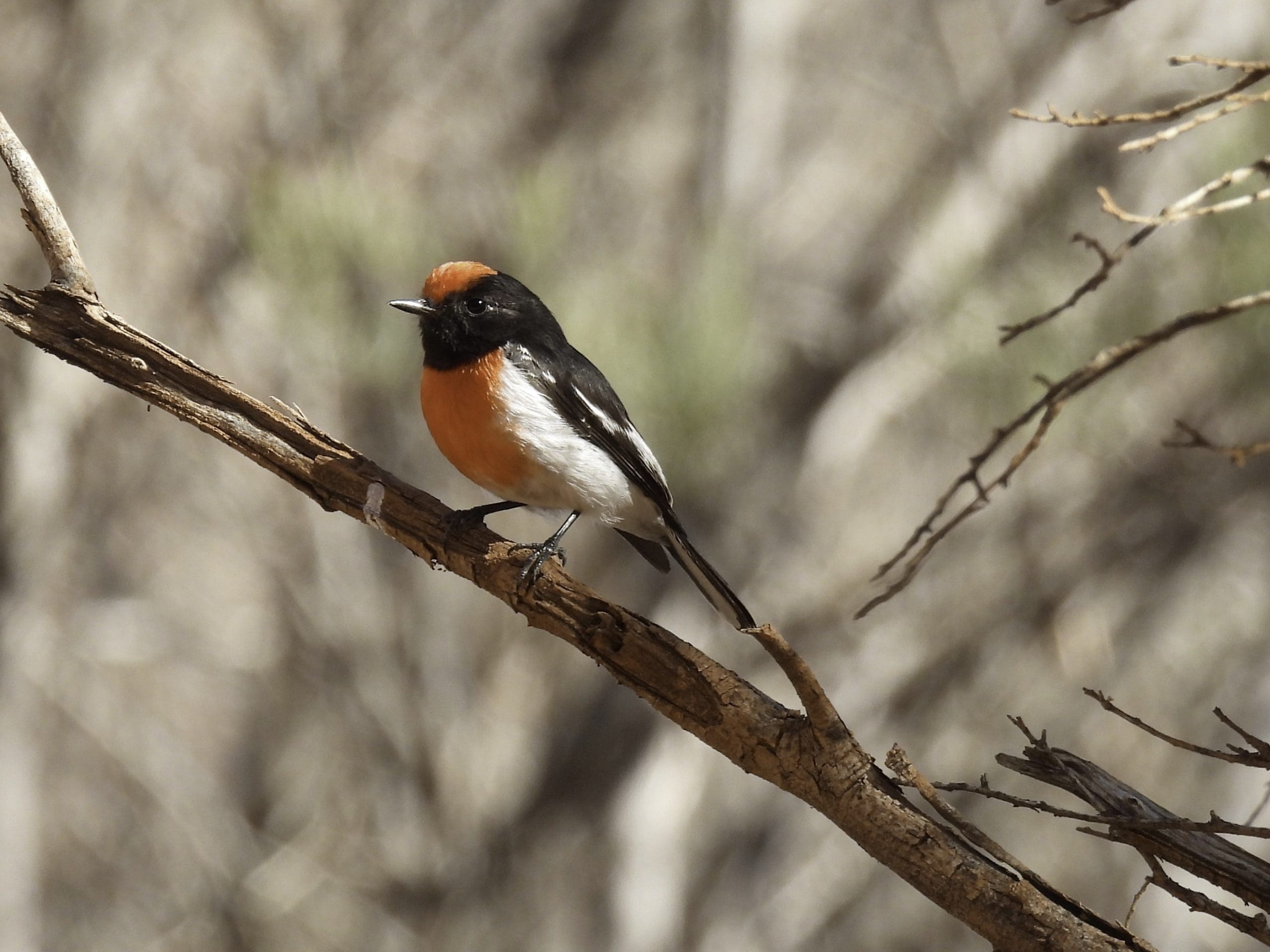
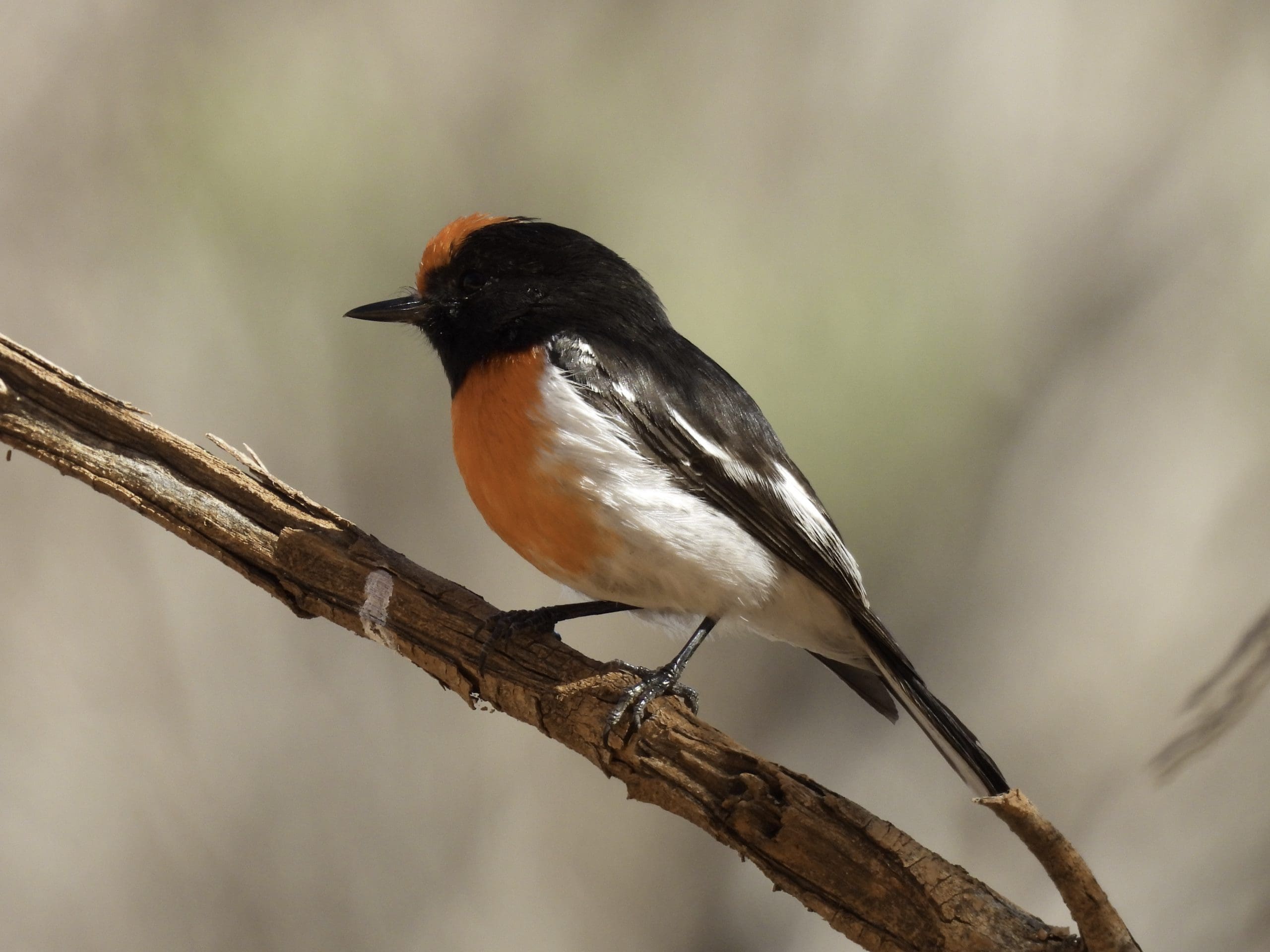
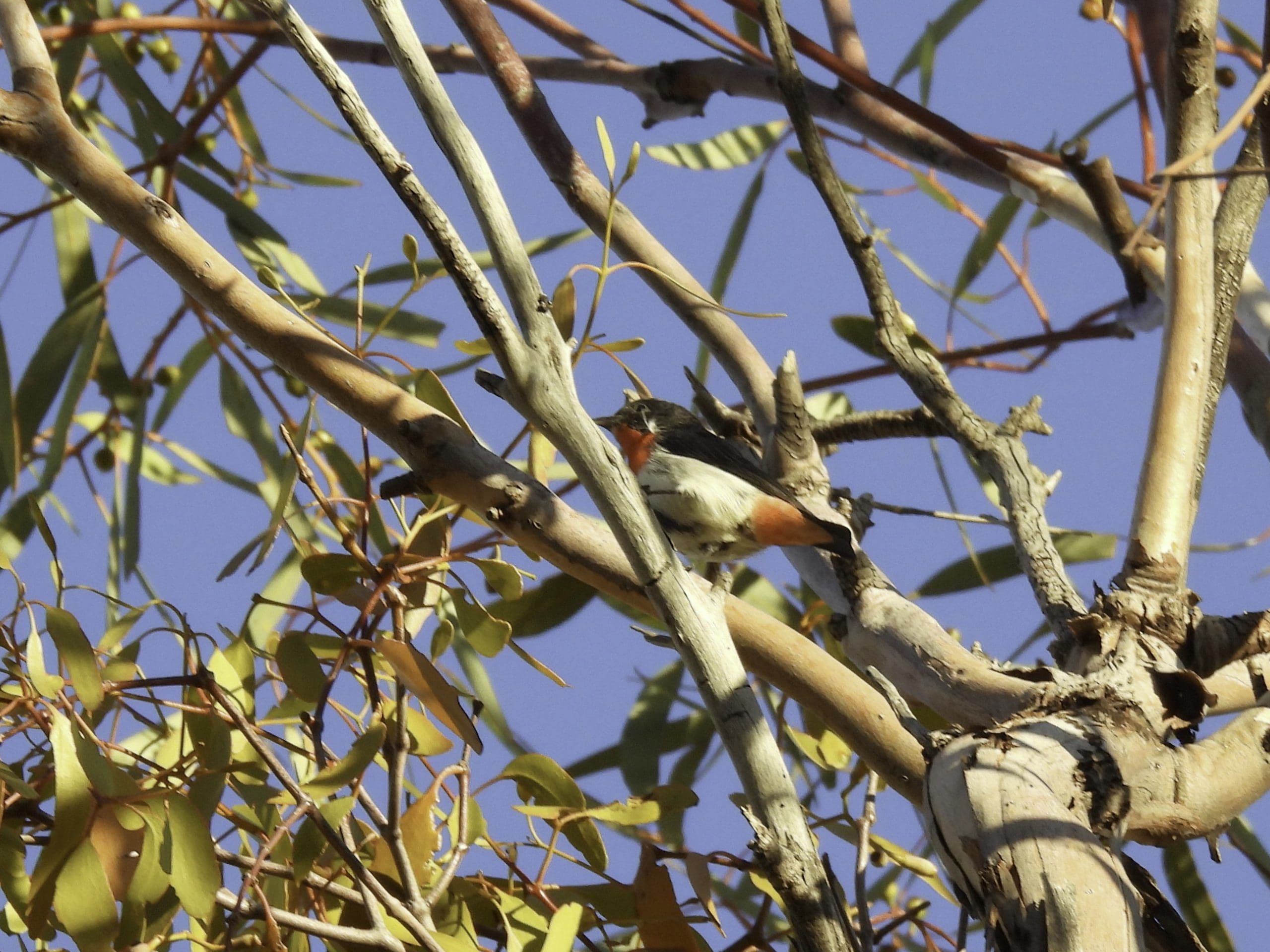
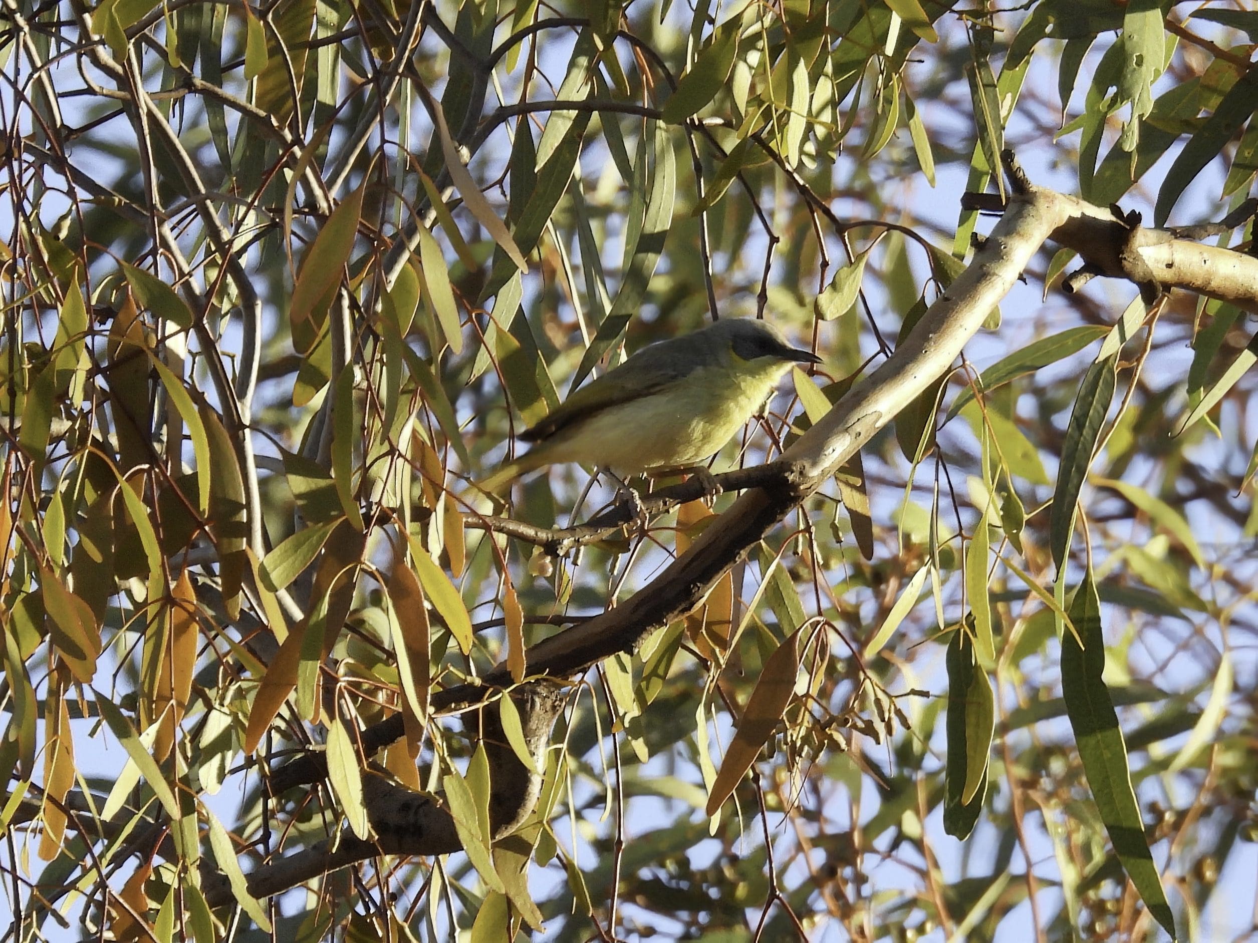
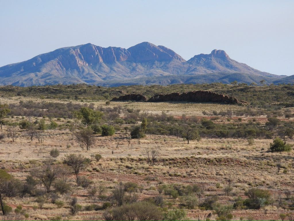
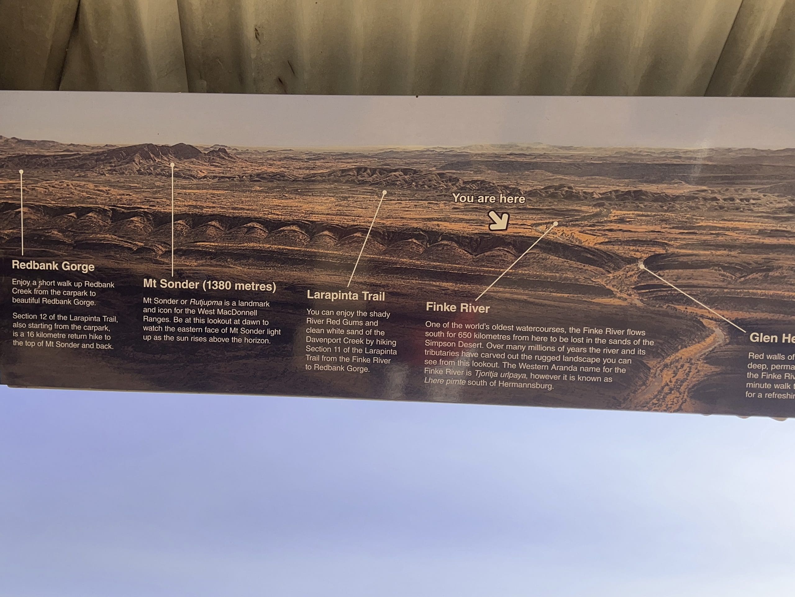
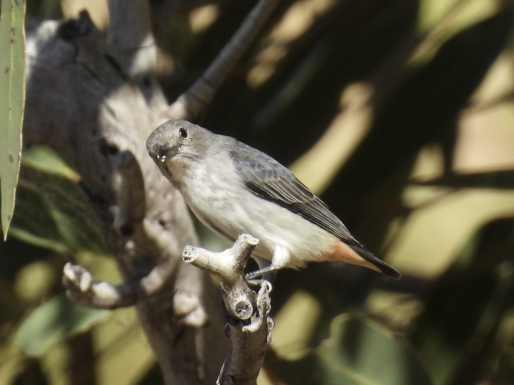
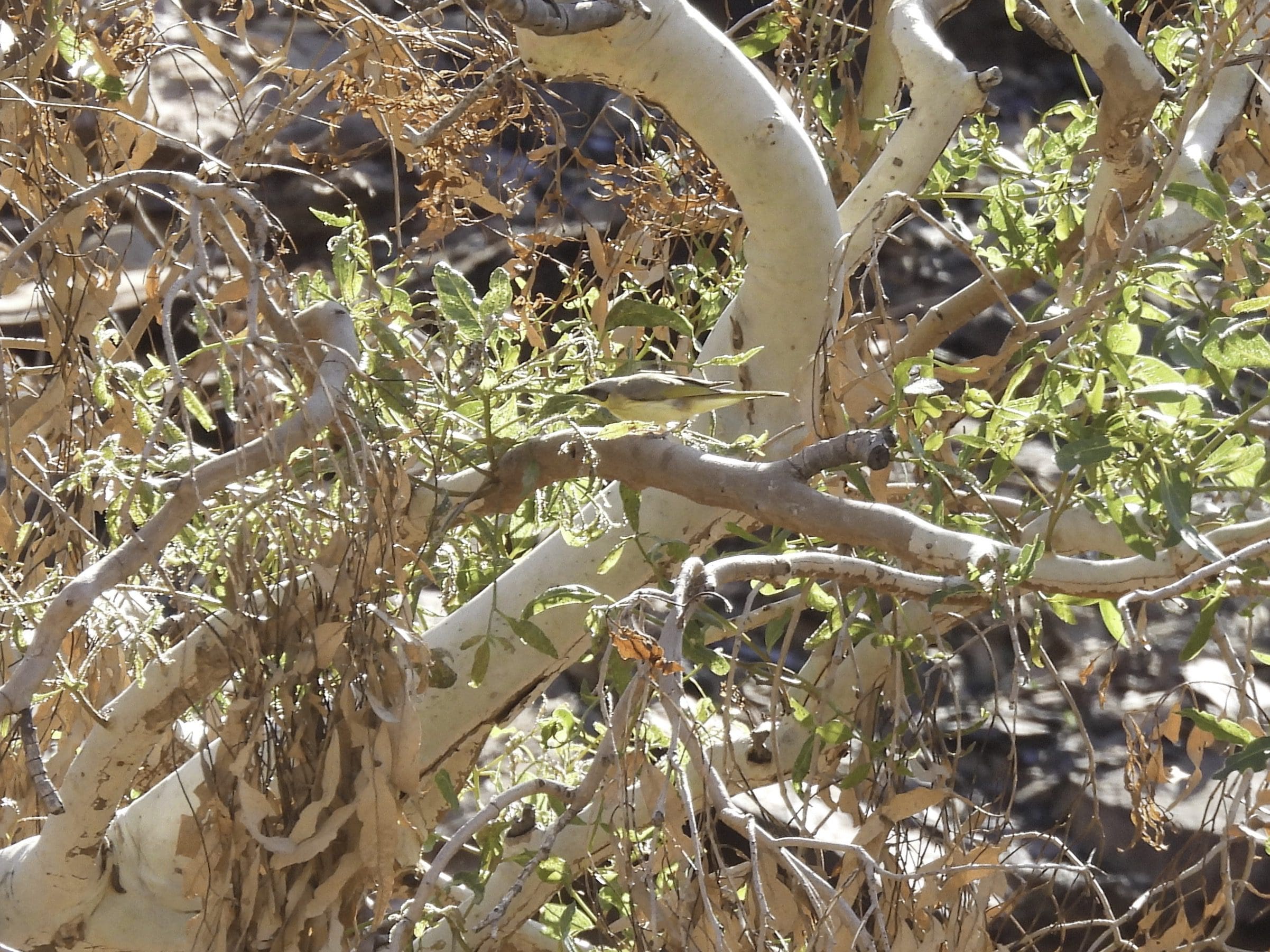
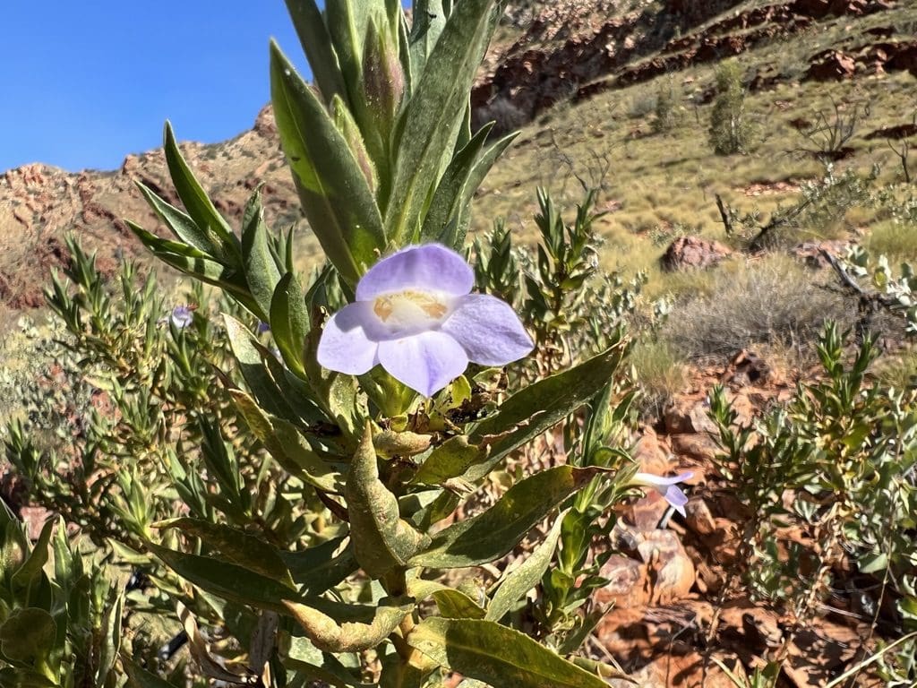
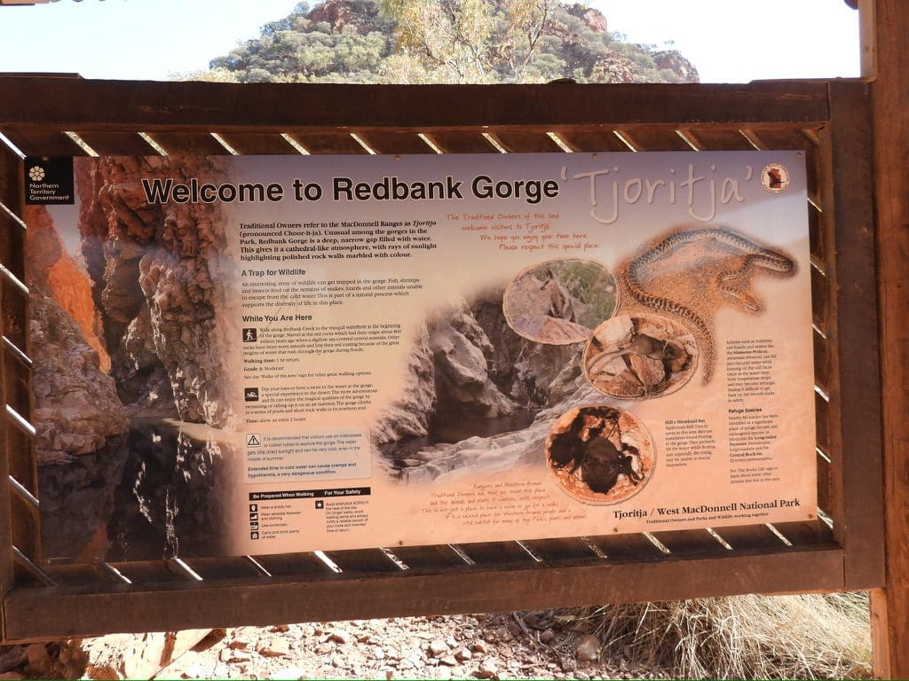
Thursday 1 June. Day 9. Mild morning and up late again. Drive out to Hermannsburg for fuel and a top up of food items. Called in at Hermannsburg Potters shed and bought a small pot – white winged wren – not cheap. Off west with Mt Sonder to our right – reclining lady. Gosses Bluff (Tnorala) for lunch – quite good birding – red capped robin, White-winged Triller, rufous whistler, western bowerbird. (I was tired and did not visit the crater. Mistake. Those who walked it were impressed.) After lunch, we continued to Redbank Gorge where we are set up camp for three nights on a ridge top with excellent views of the Gorge. Mistletoe bird and crested bellbird. Getting a bit tired. The Palm Valley walk yesterday, the long driving and red dirt is wearing us out.
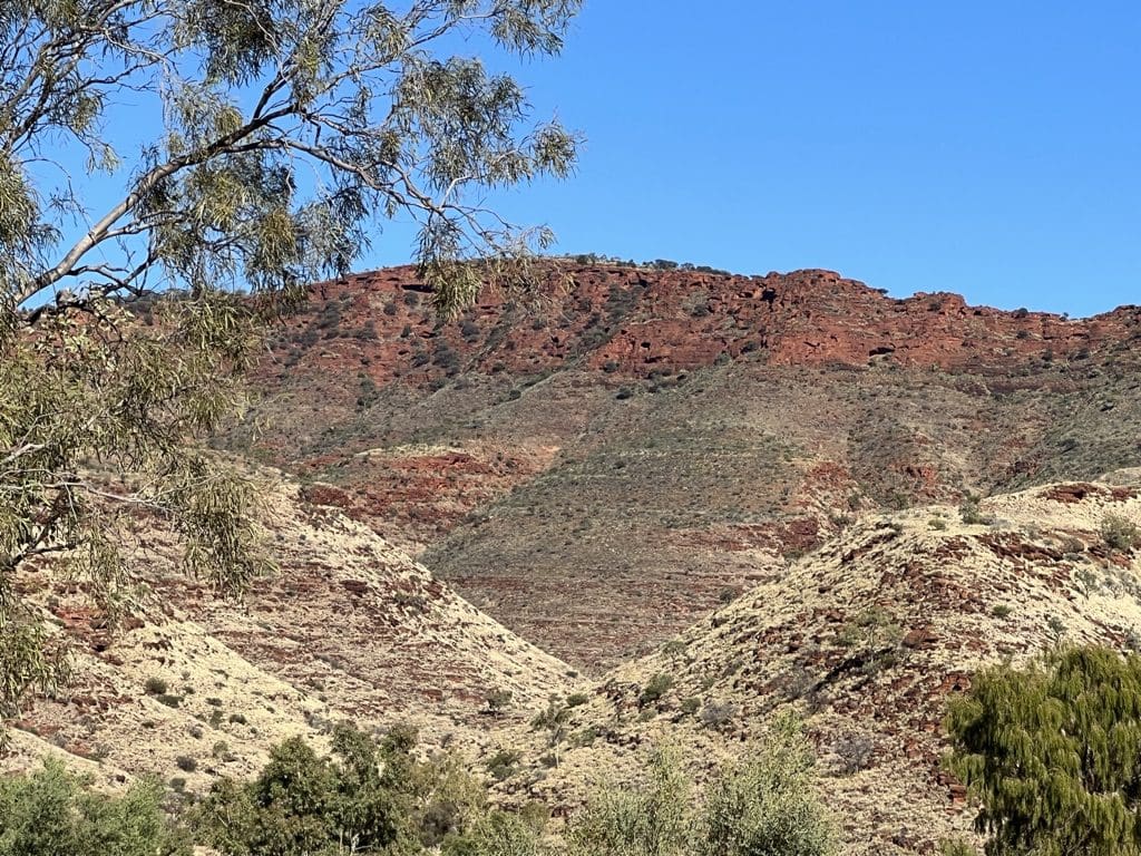
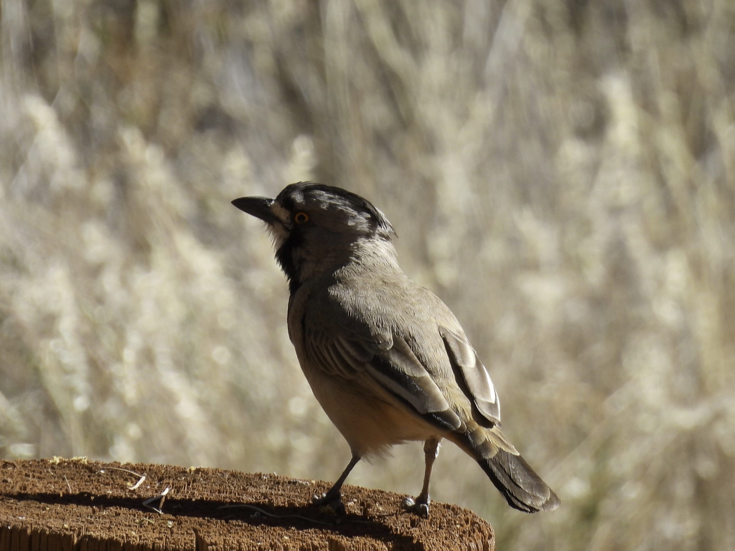
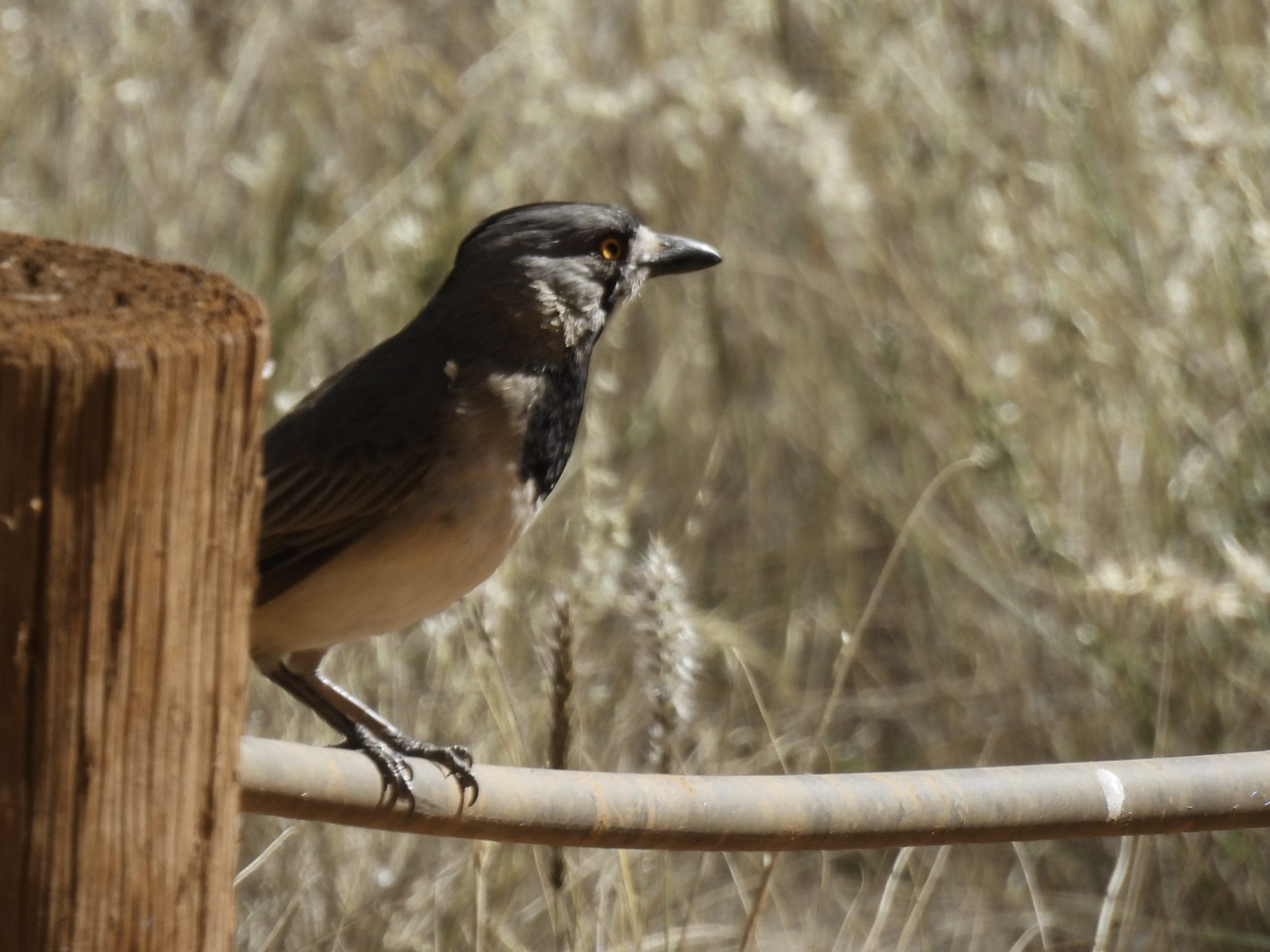
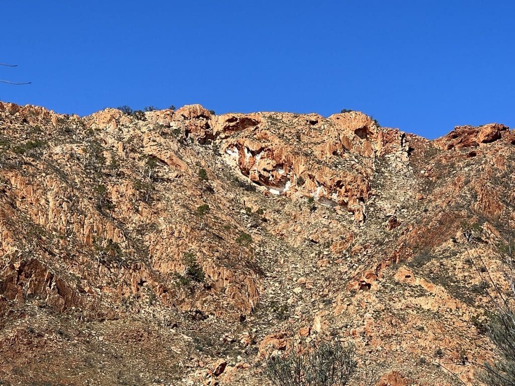
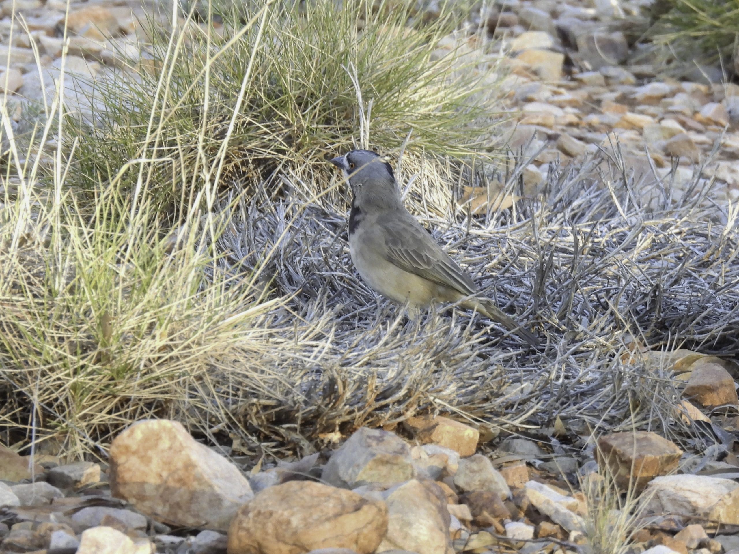
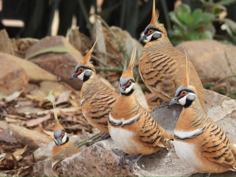
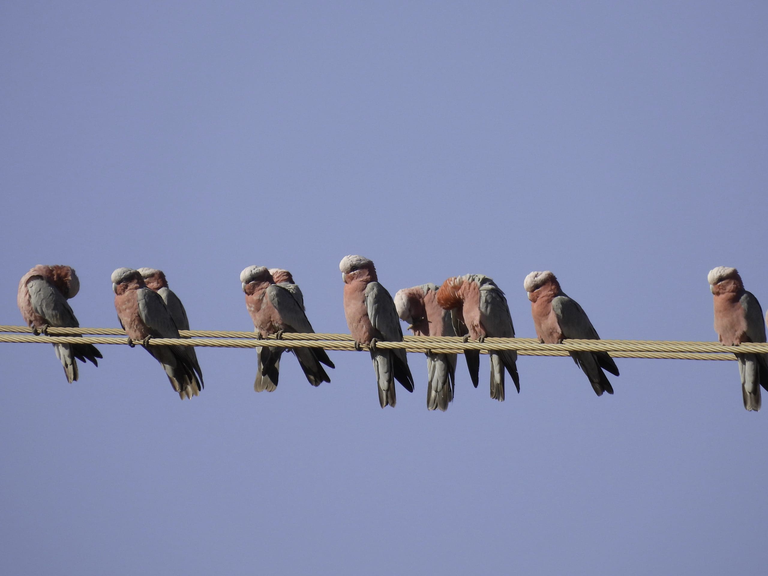
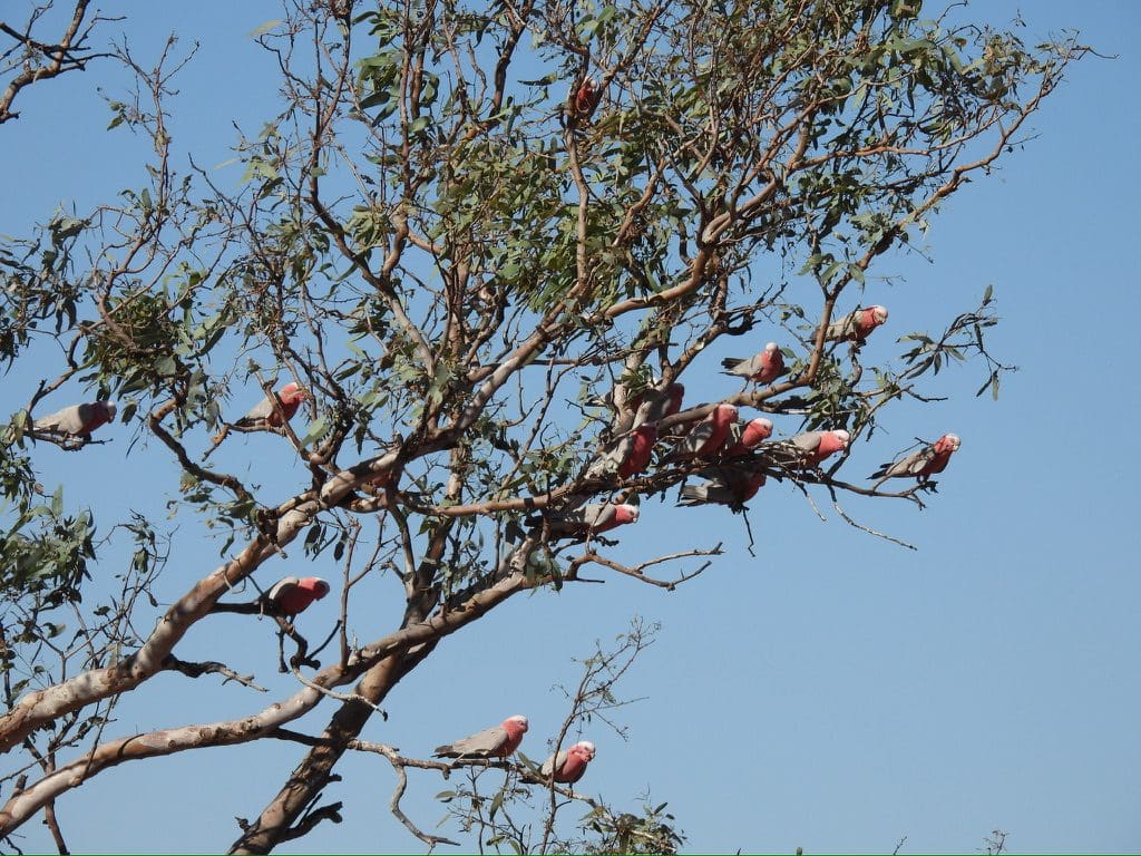
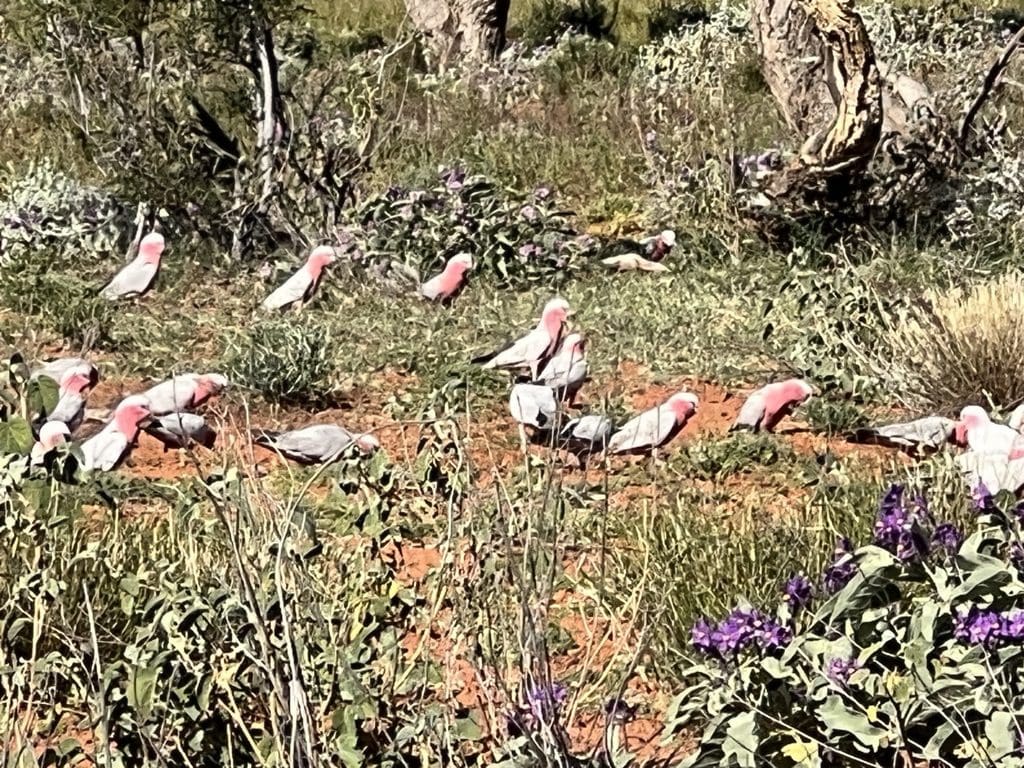
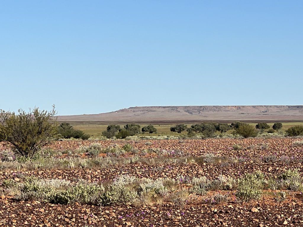
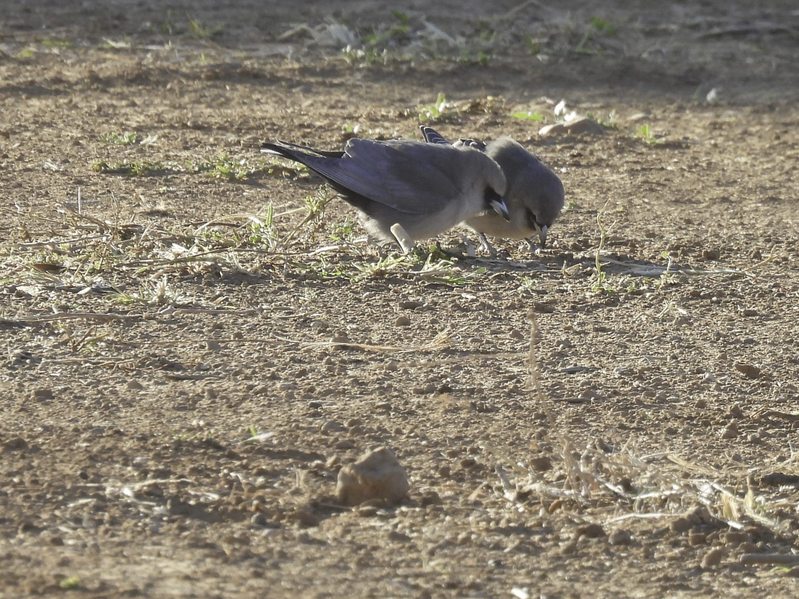
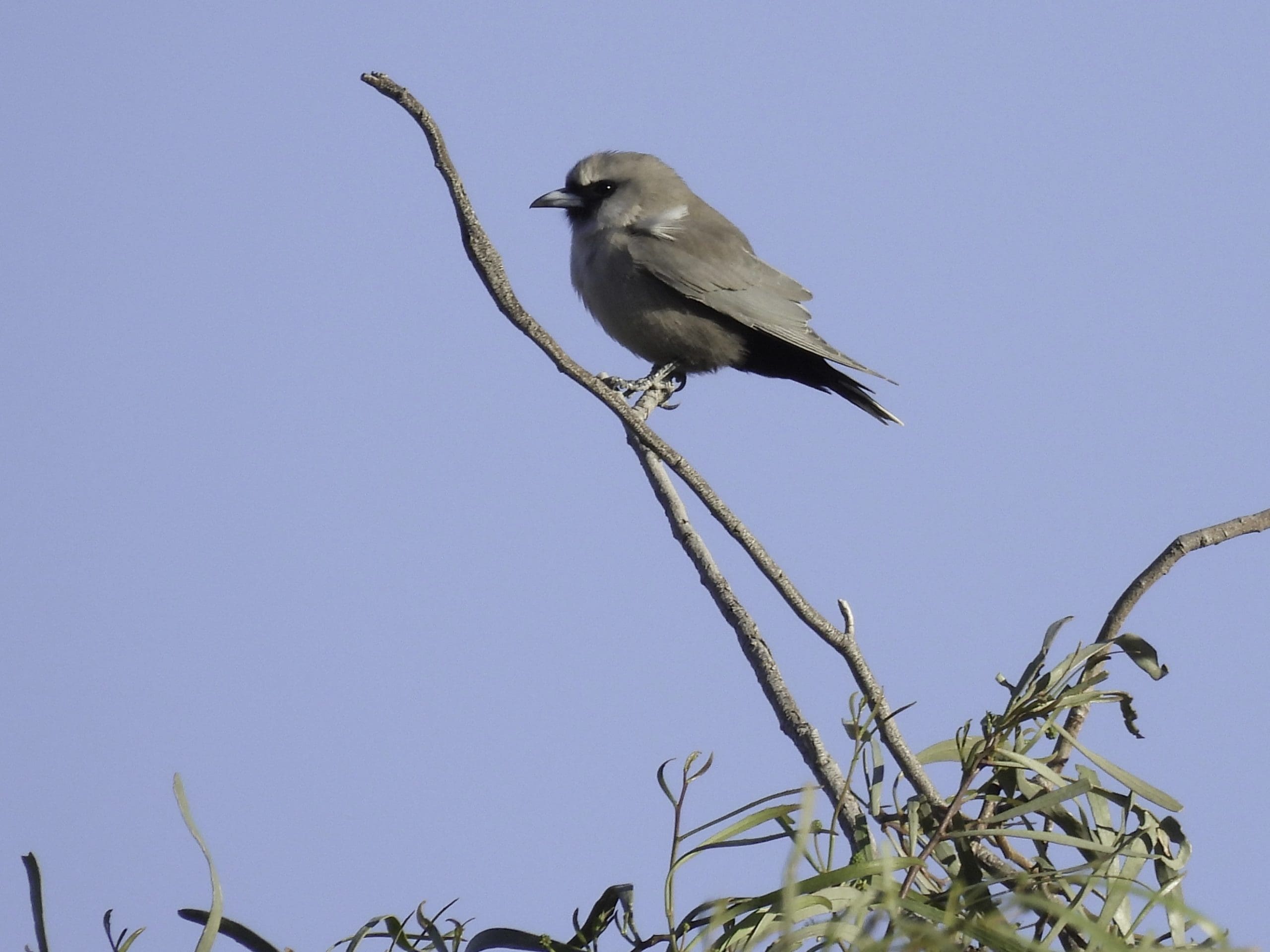
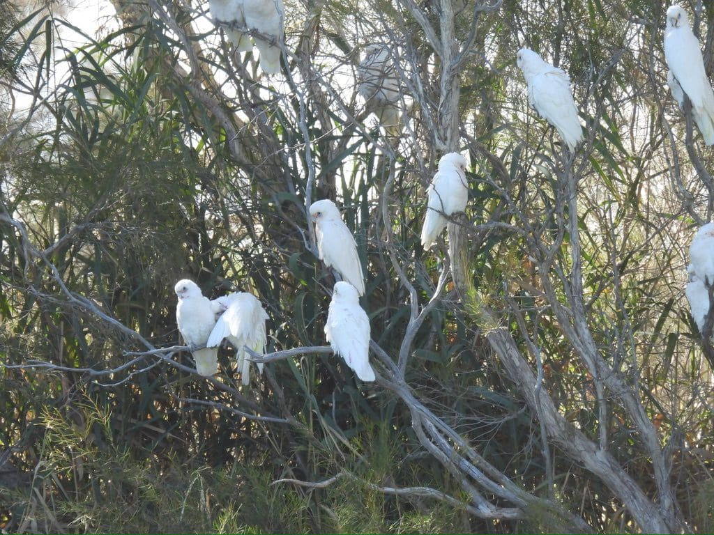
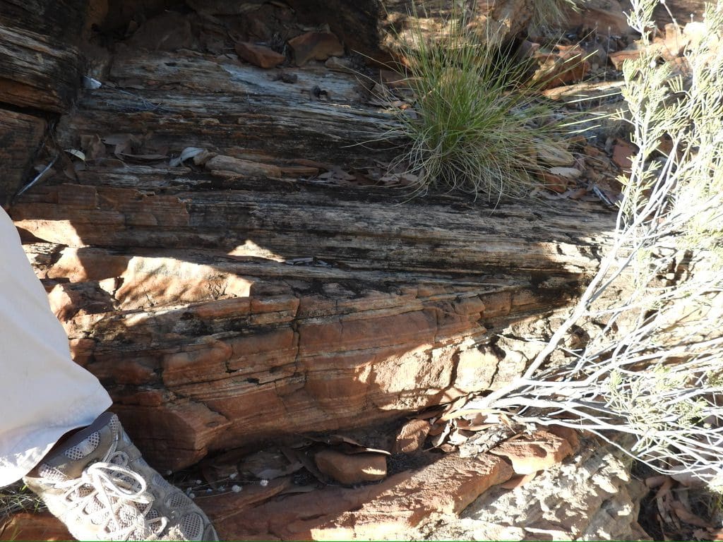
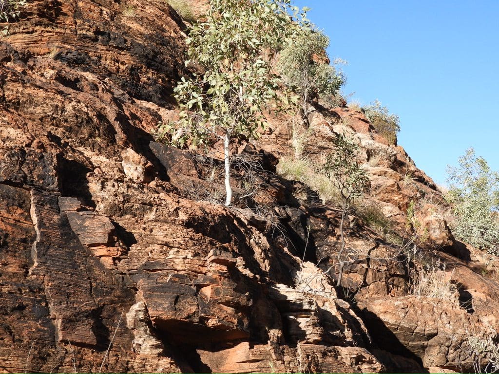
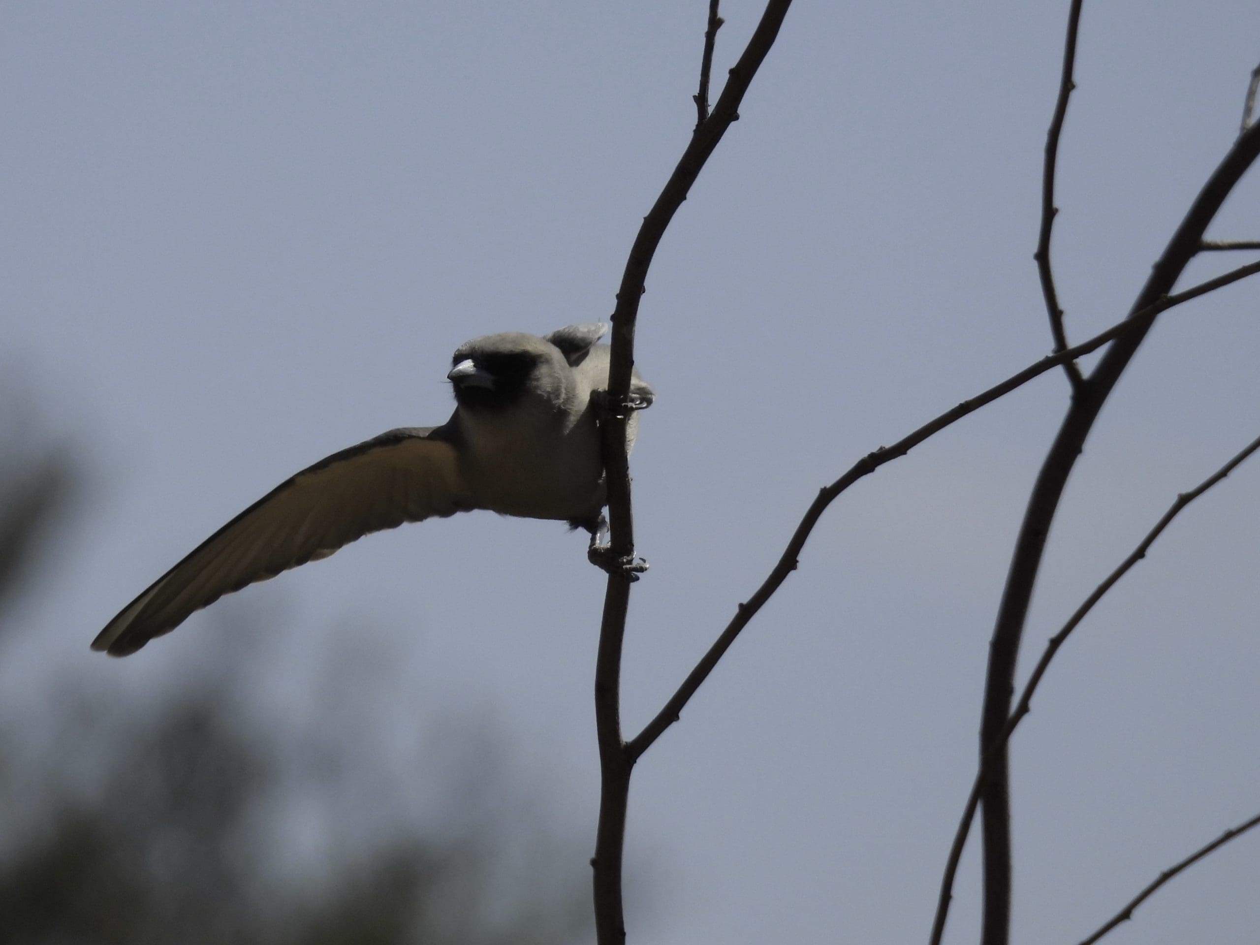
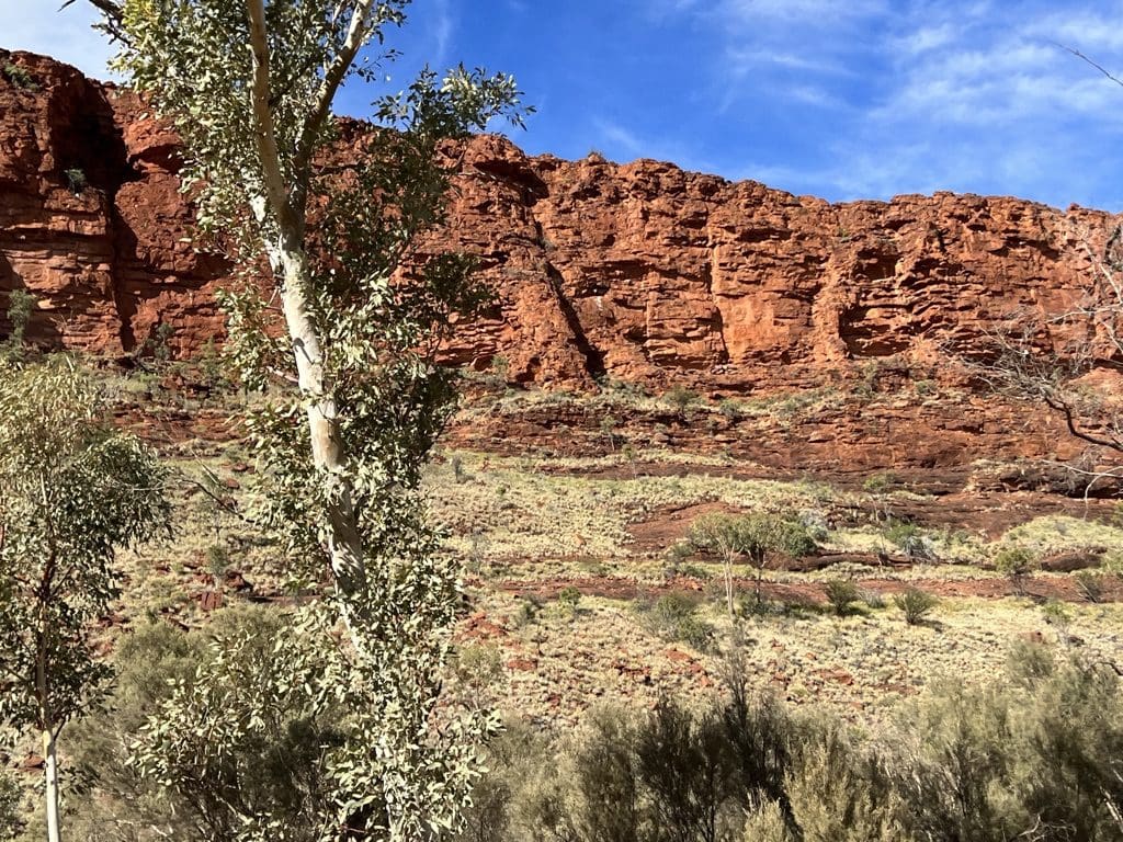
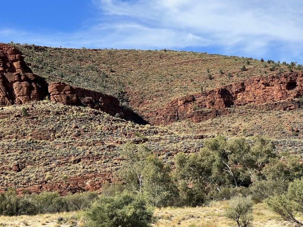
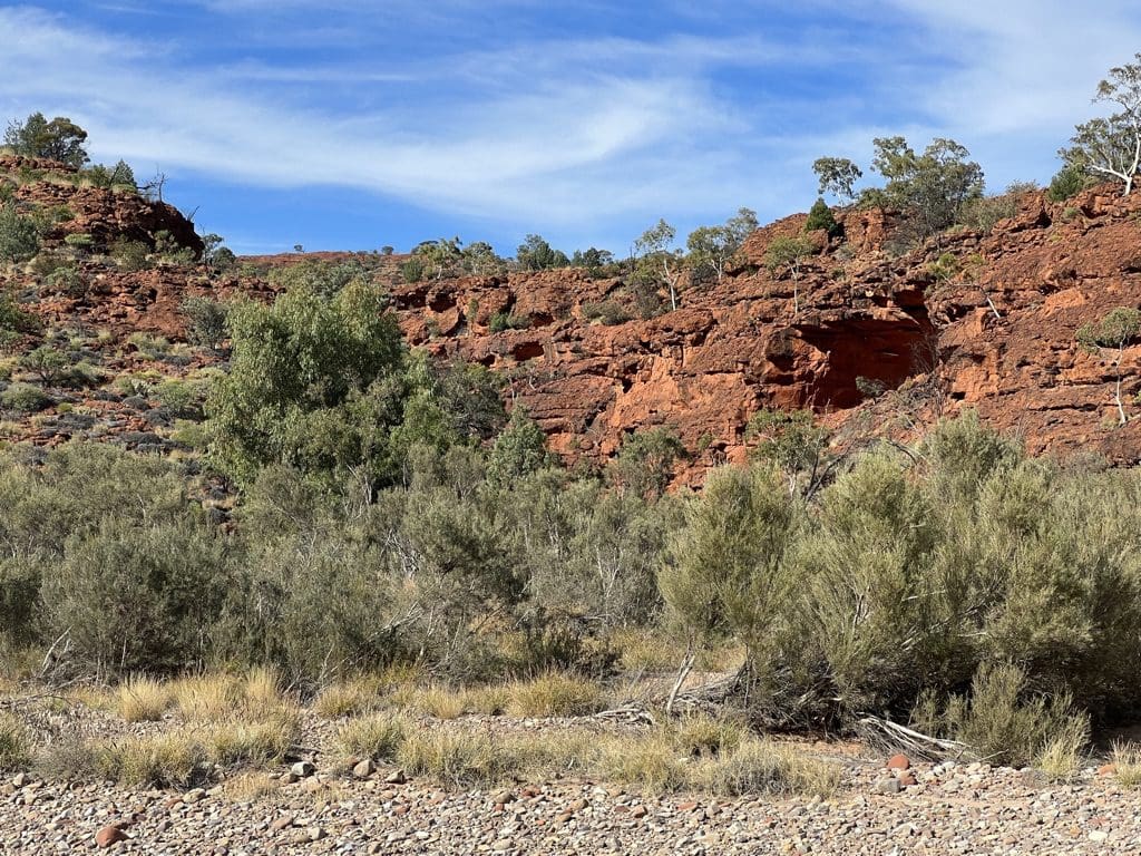
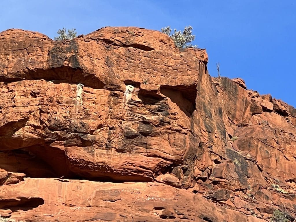
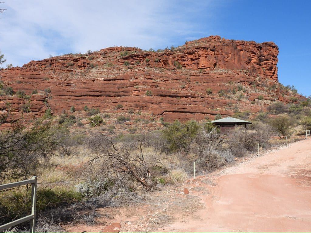
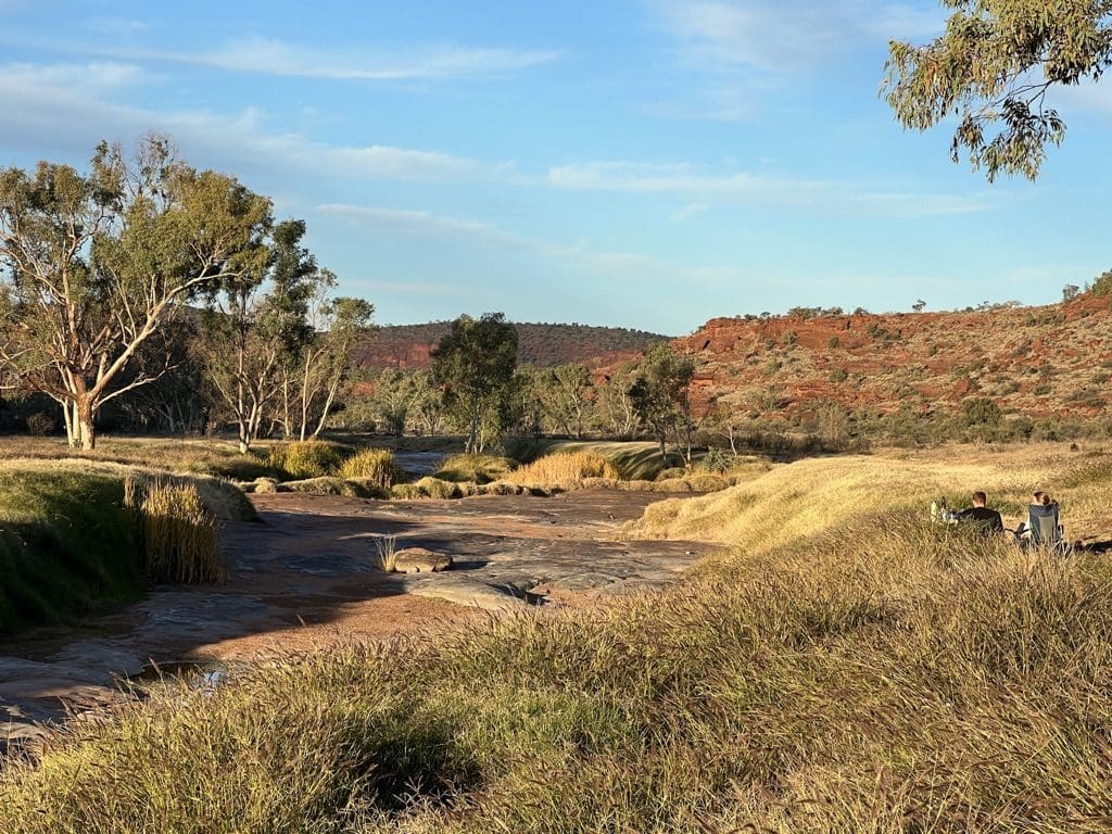
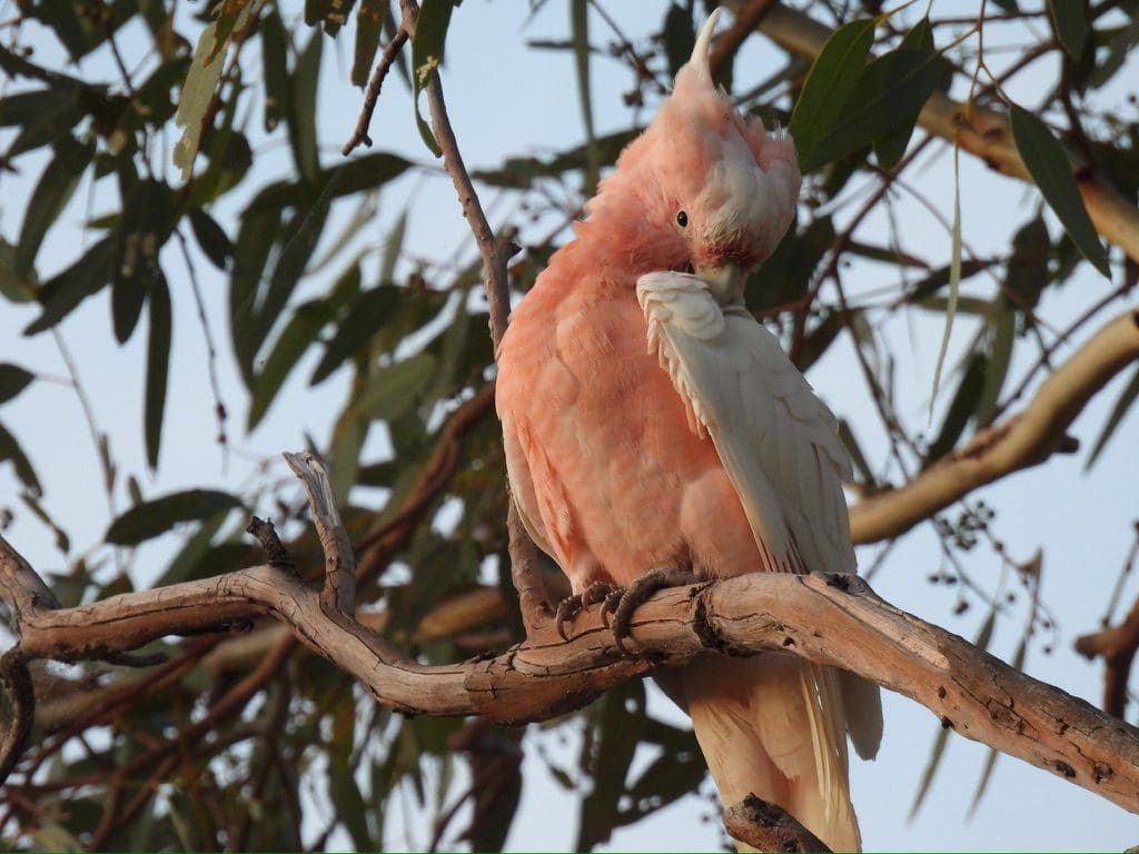
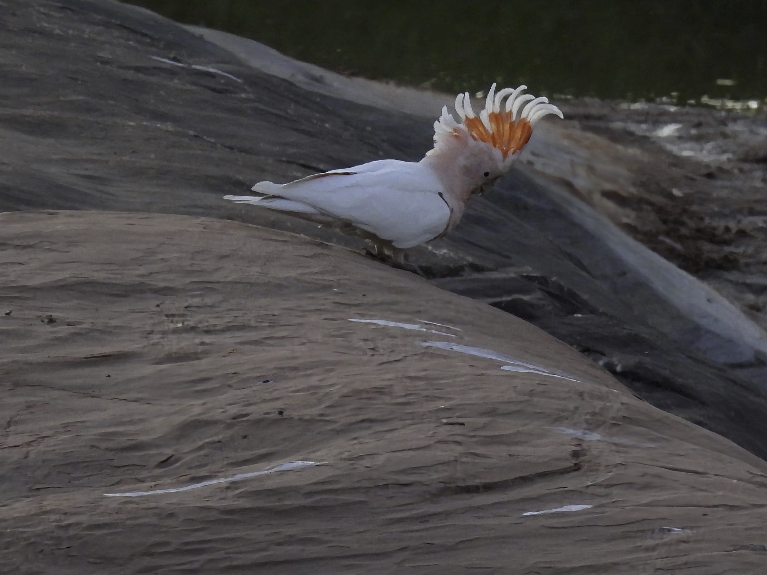
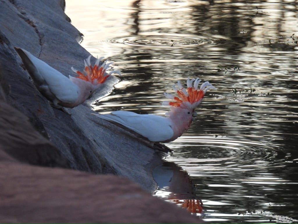
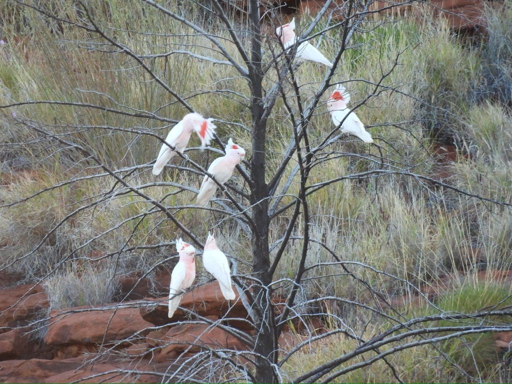
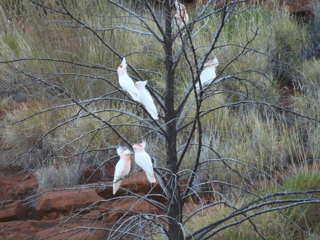
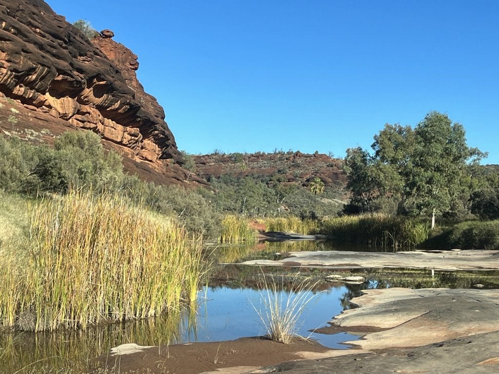
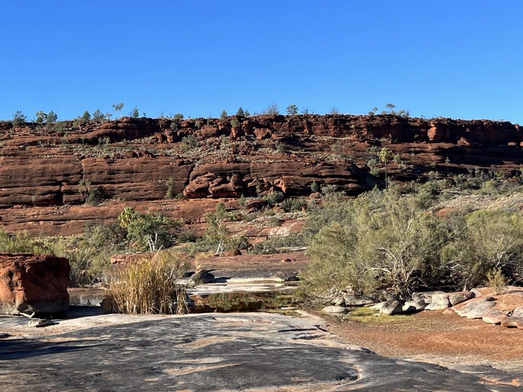
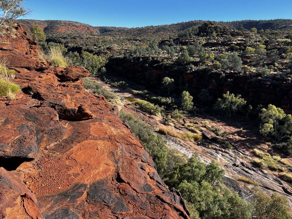
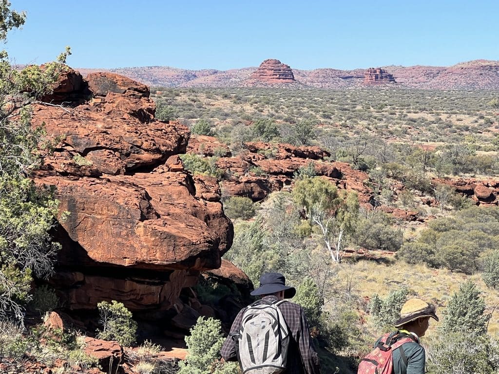
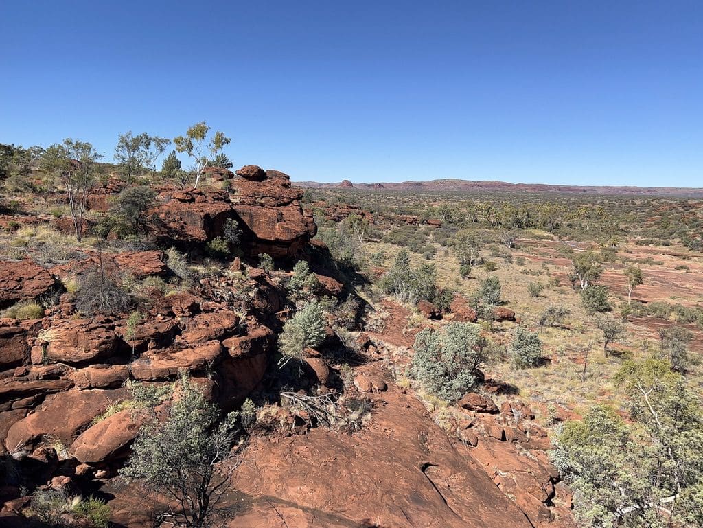
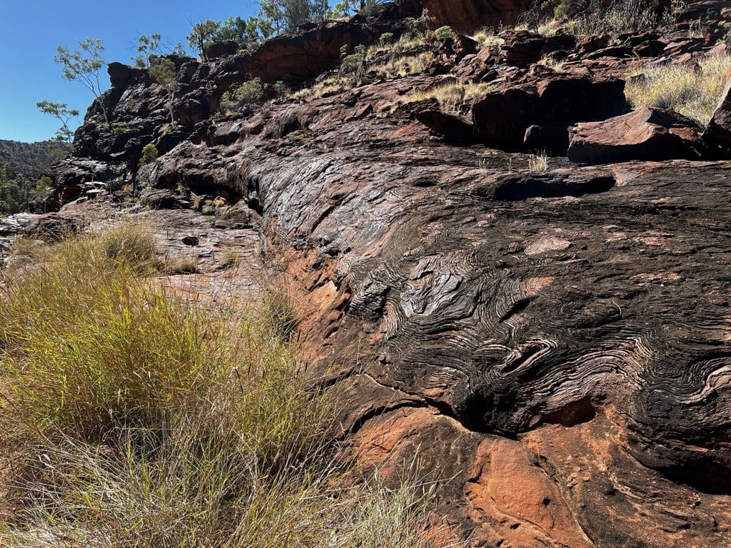
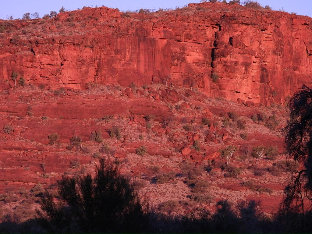
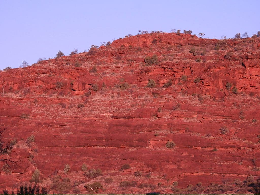
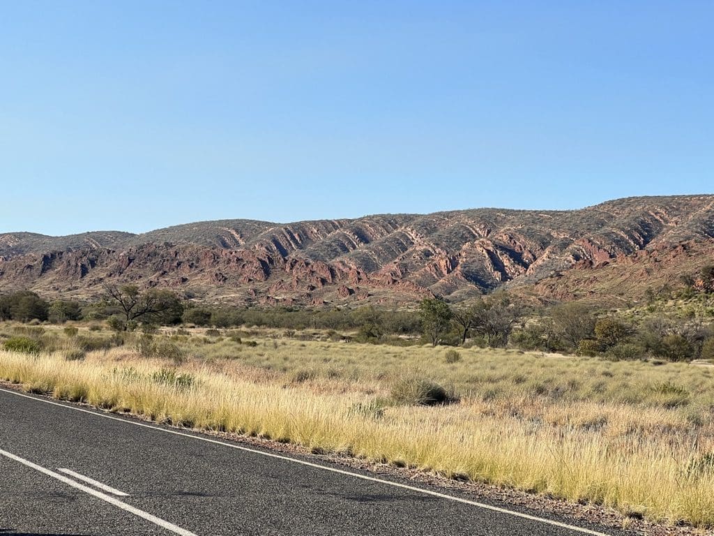
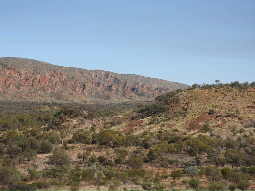
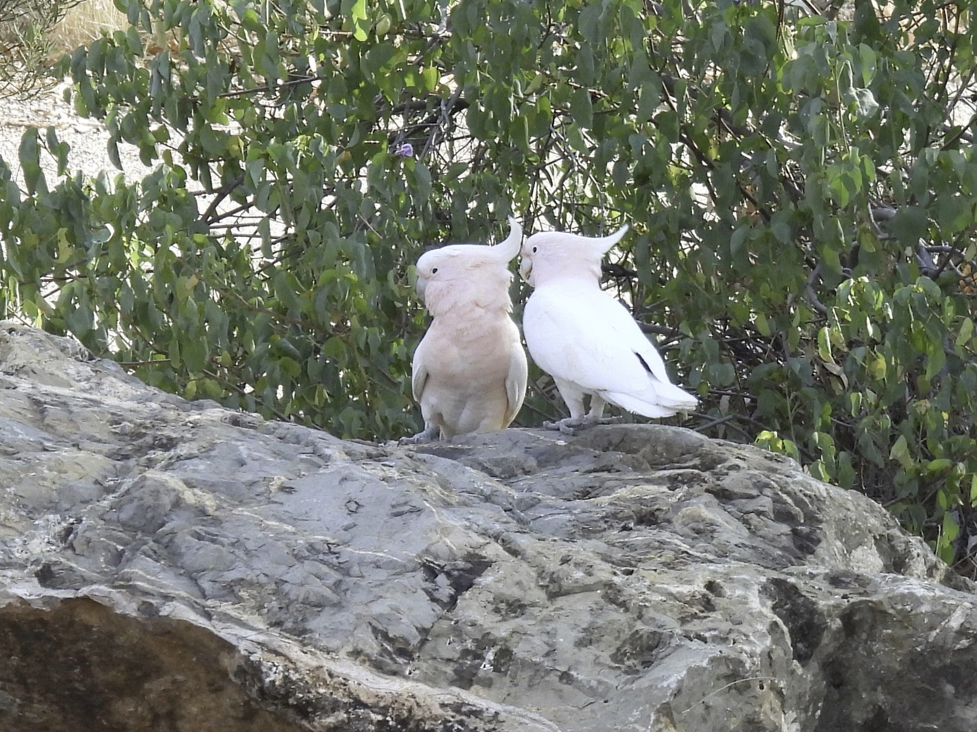
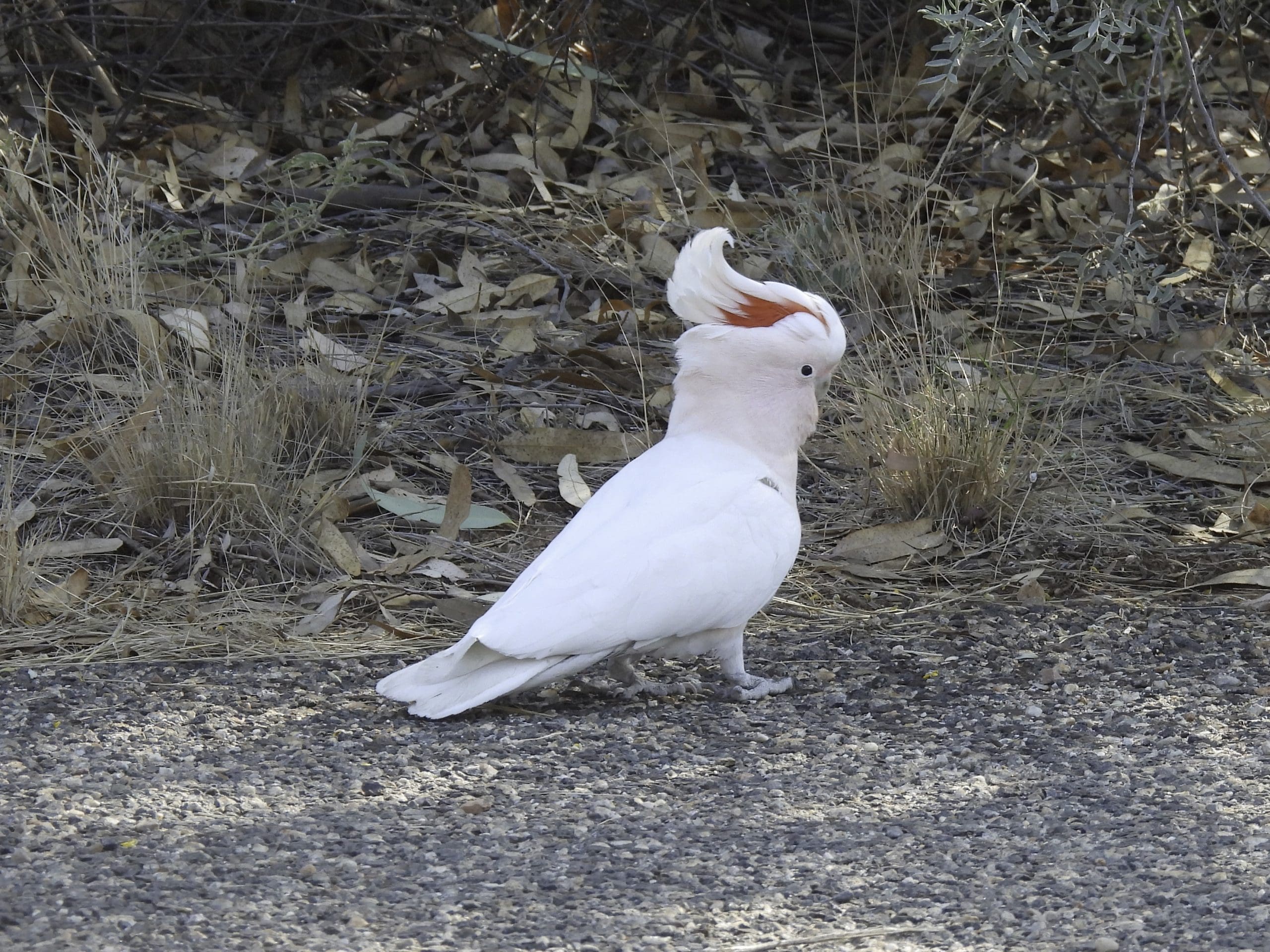
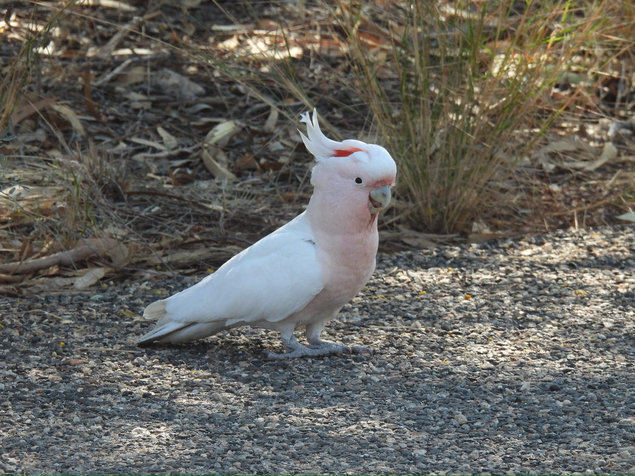
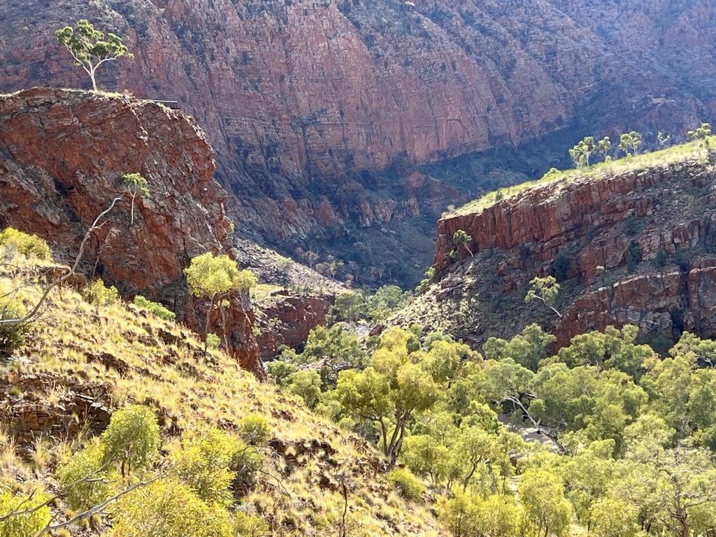
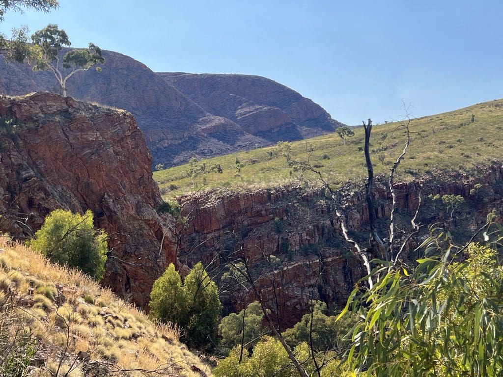
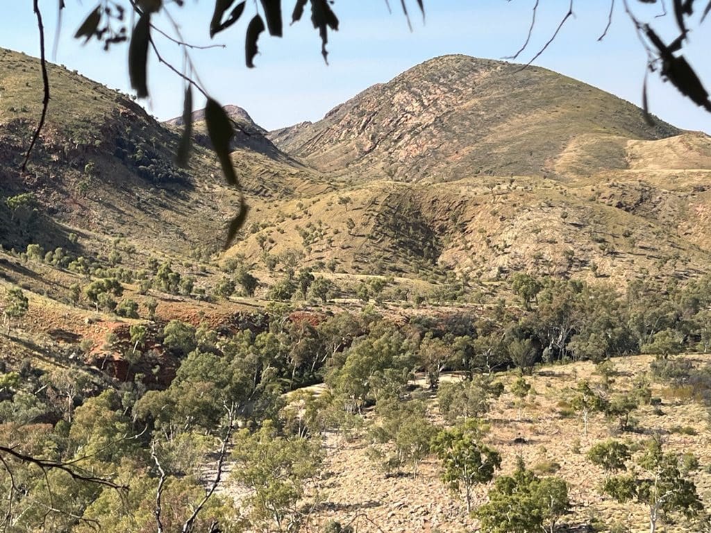
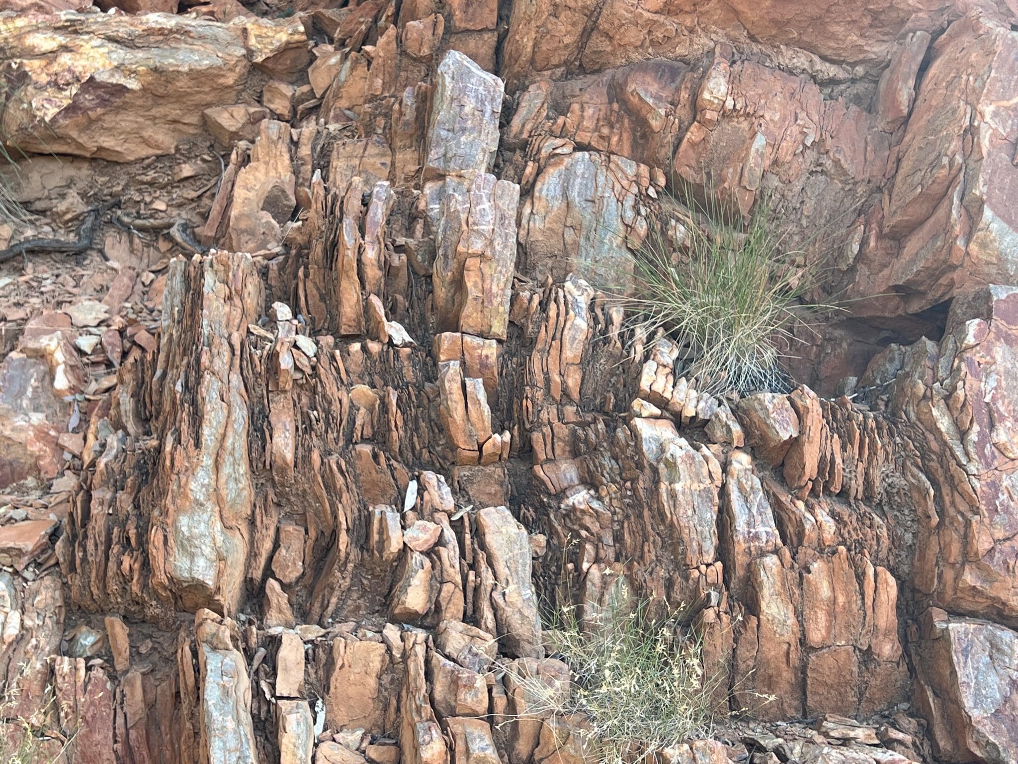
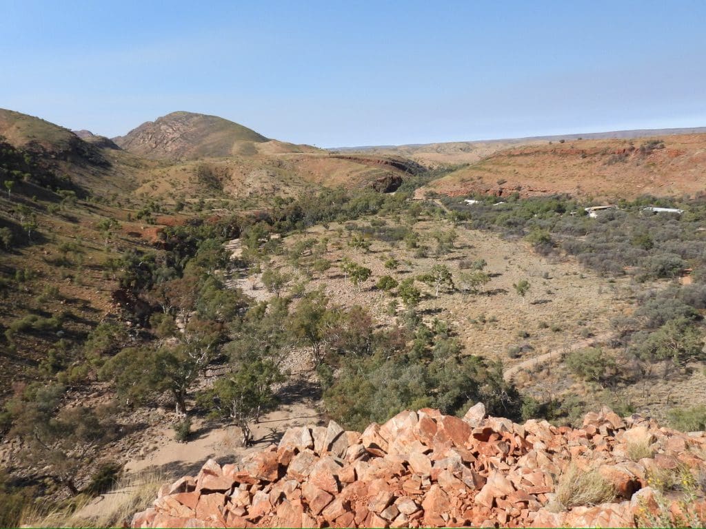
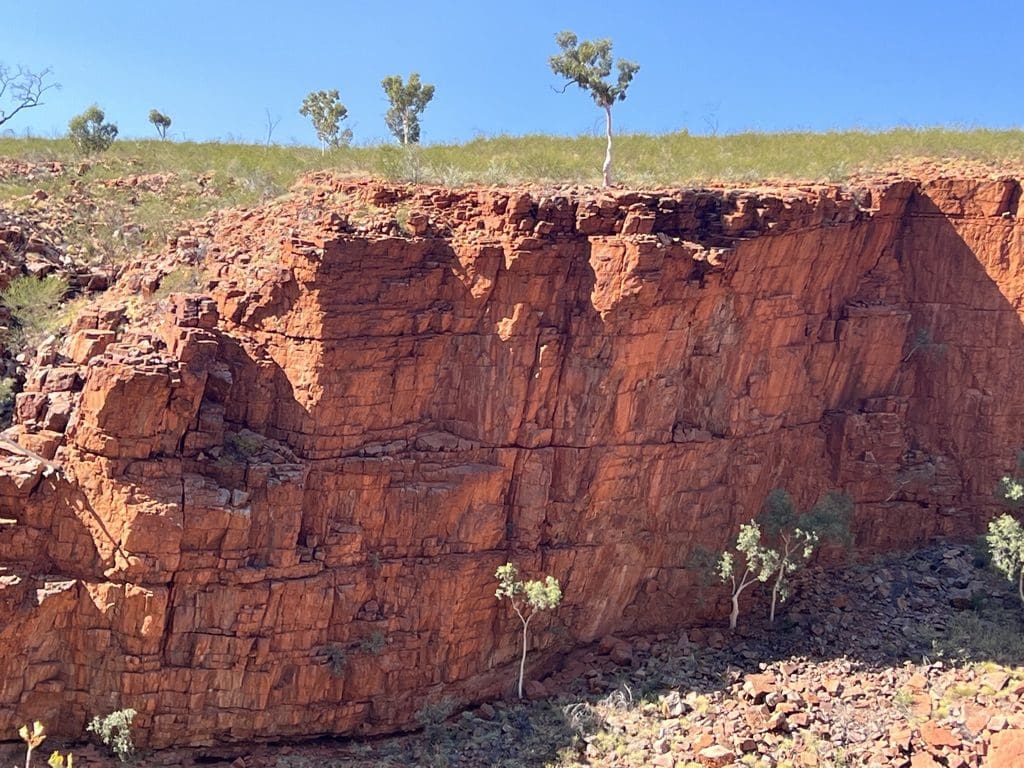
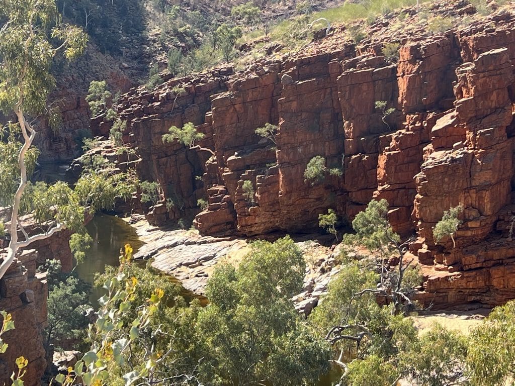
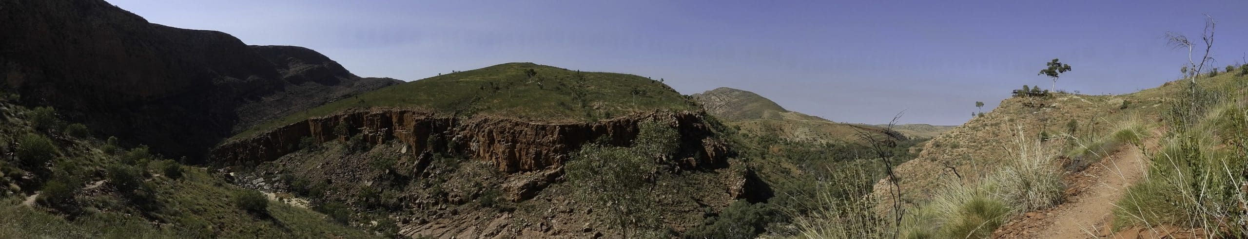
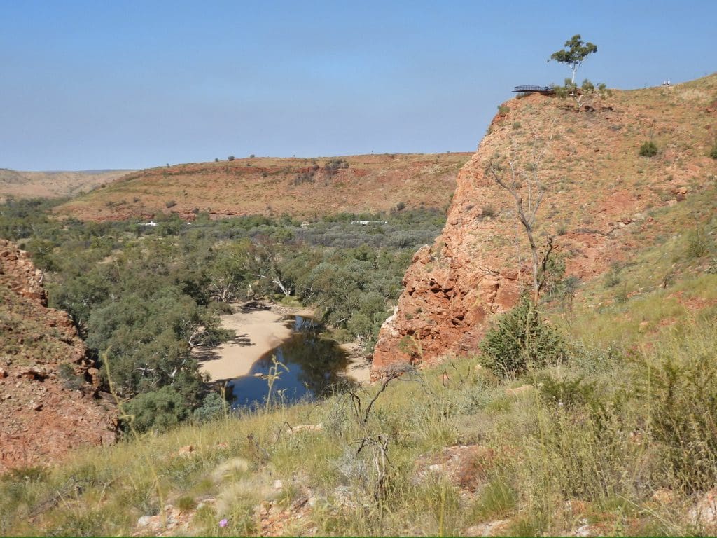
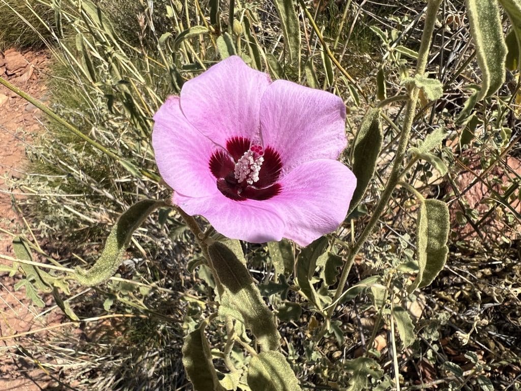
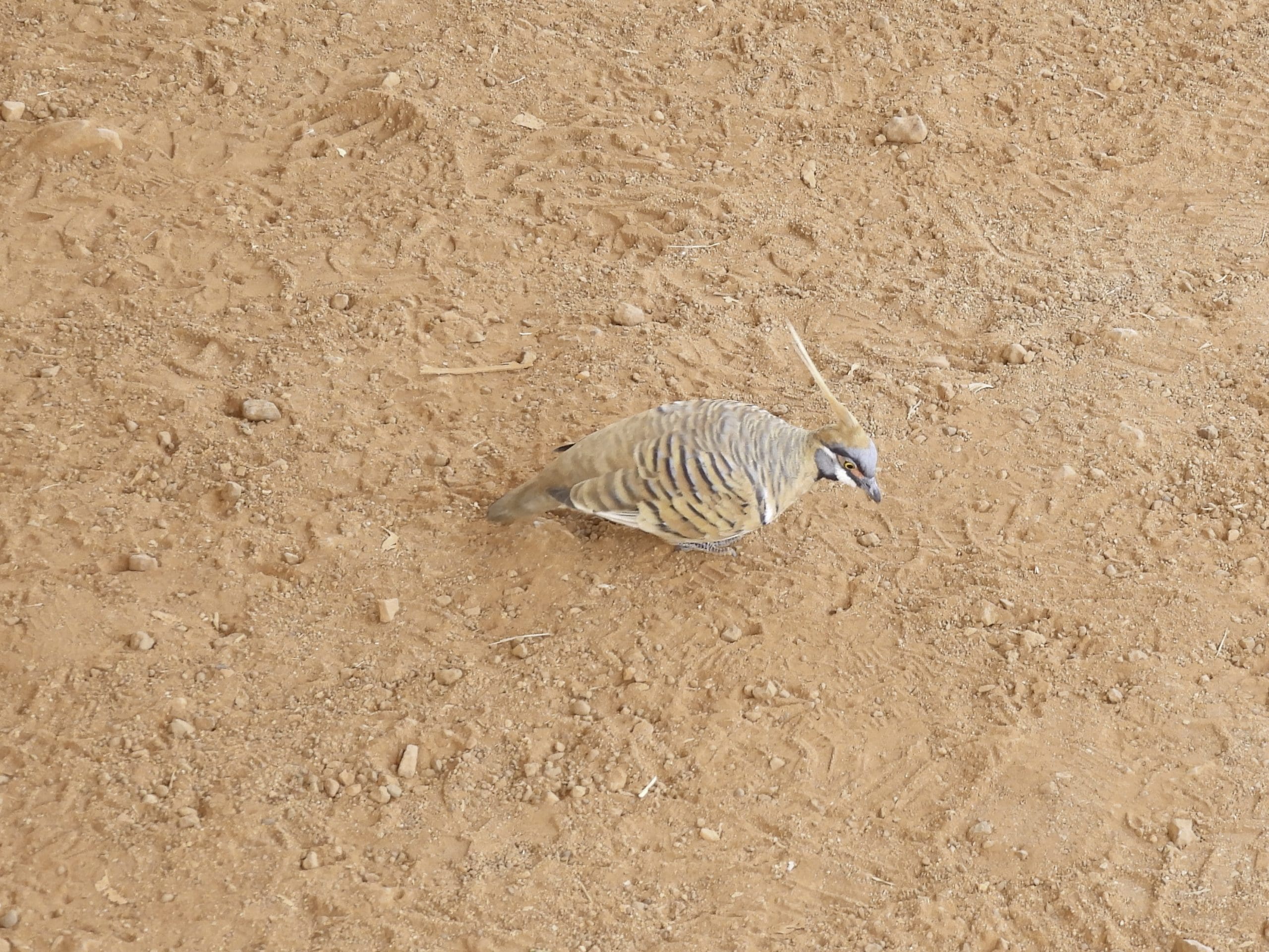
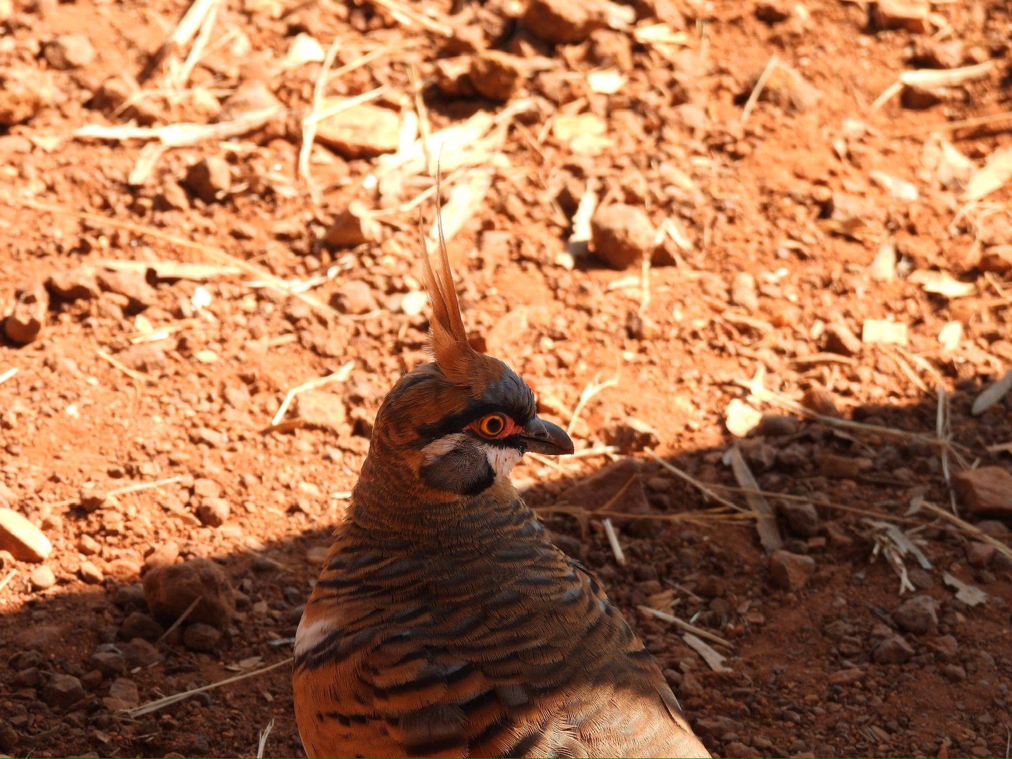
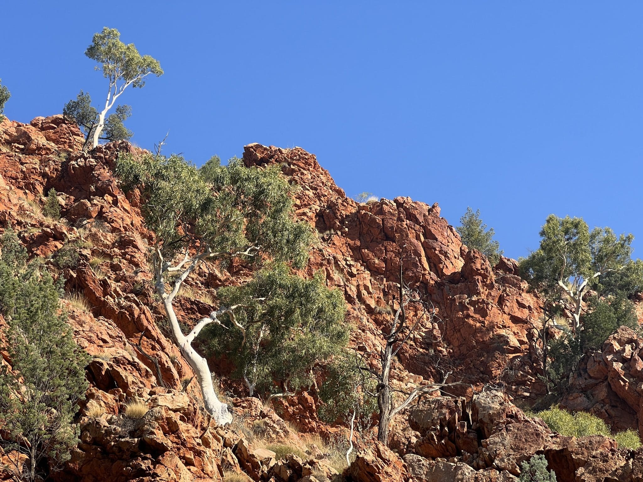
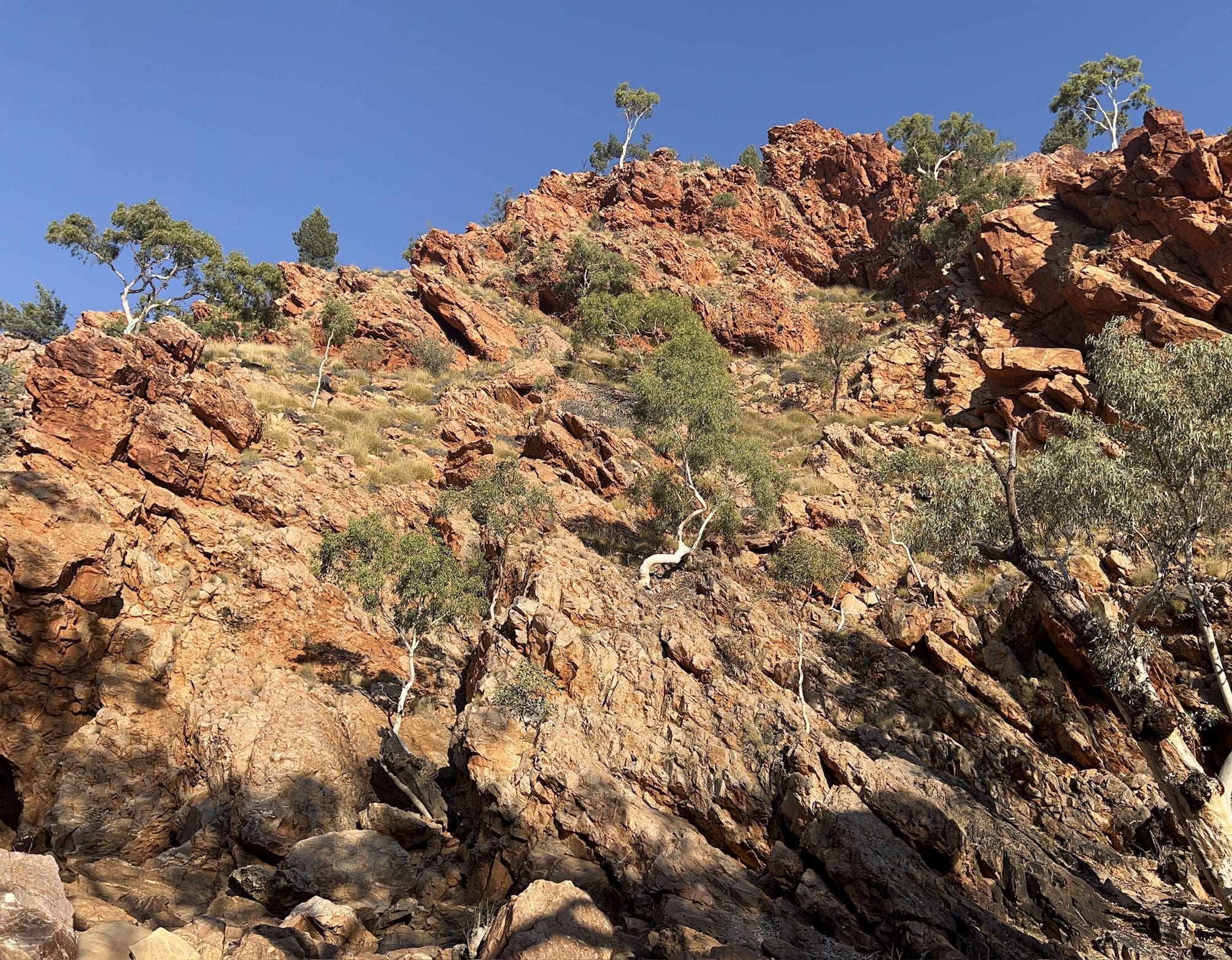
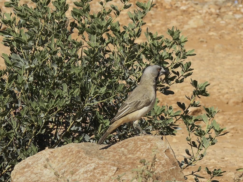
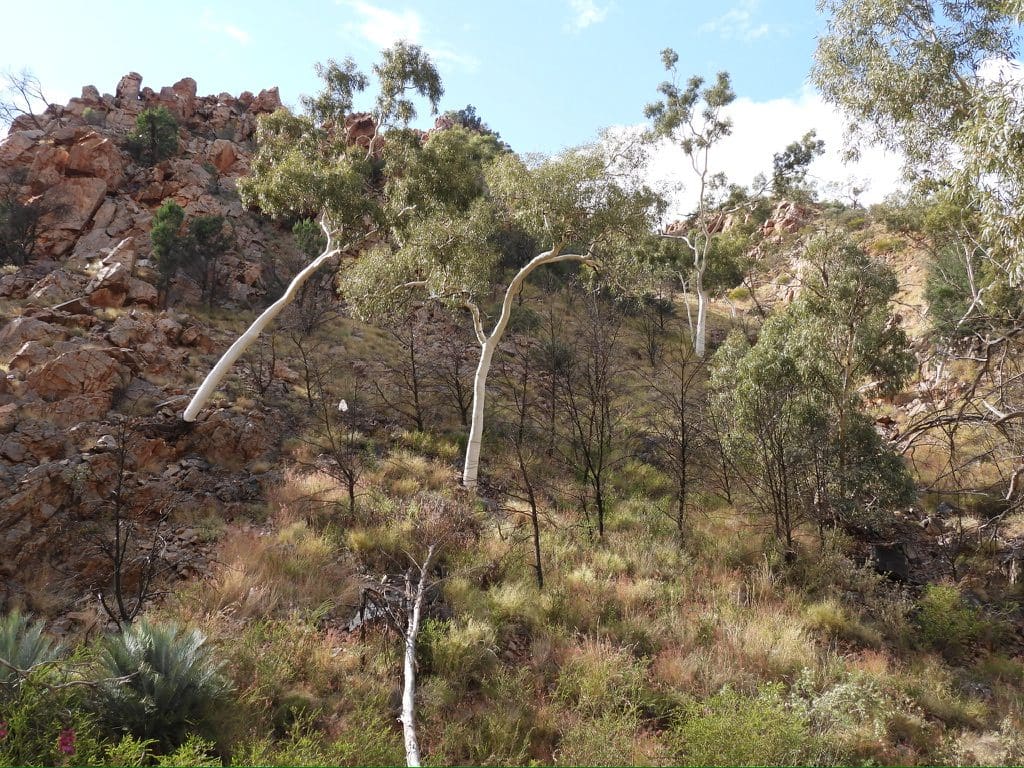
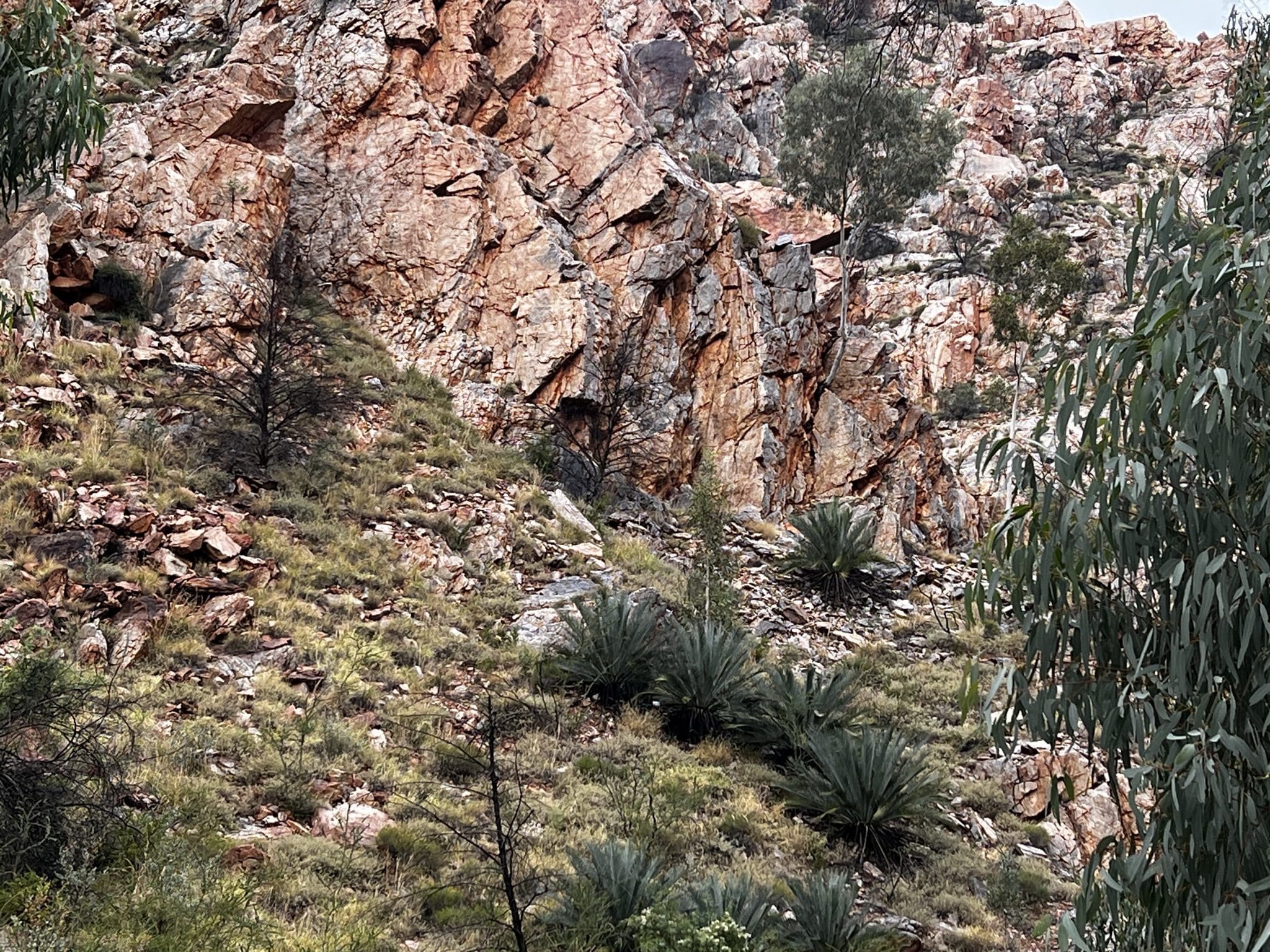
Friday 2 June. Day 10. Leisurely start cool to cold morning. Drive to Ormiston Gorge (where the Finke River meanders across the West Macdonnell Ranges making it the oldest river in the world). We walked along the well formed walking track for about 1.3km into the Gorge before returning – getting a bit hot. Excellent geology with vertical surfaces and much evidence of strain and contortions of beds (especially the stand out ones like dolomite/limestone). Lunch at the trailhead. Hot showers. Spinifex pigeons cleaning up under the tables. Suddenly smoke from fires cloud the sky. Called into Glen Helen – magnificent cliff face (fault line?). Back to camp. A little worried about the thickening smoke surrounding us. Grey-headed honeyeater, crested bellbird, a flock of pink cockatoos.
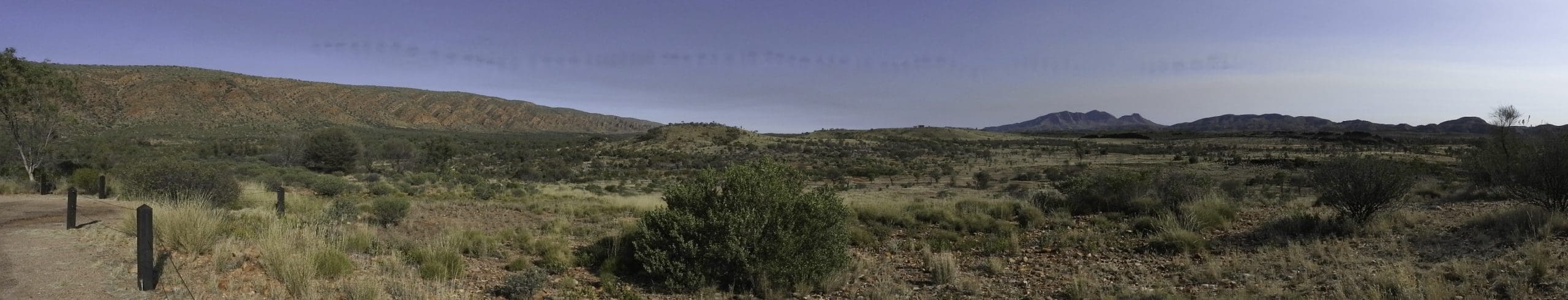
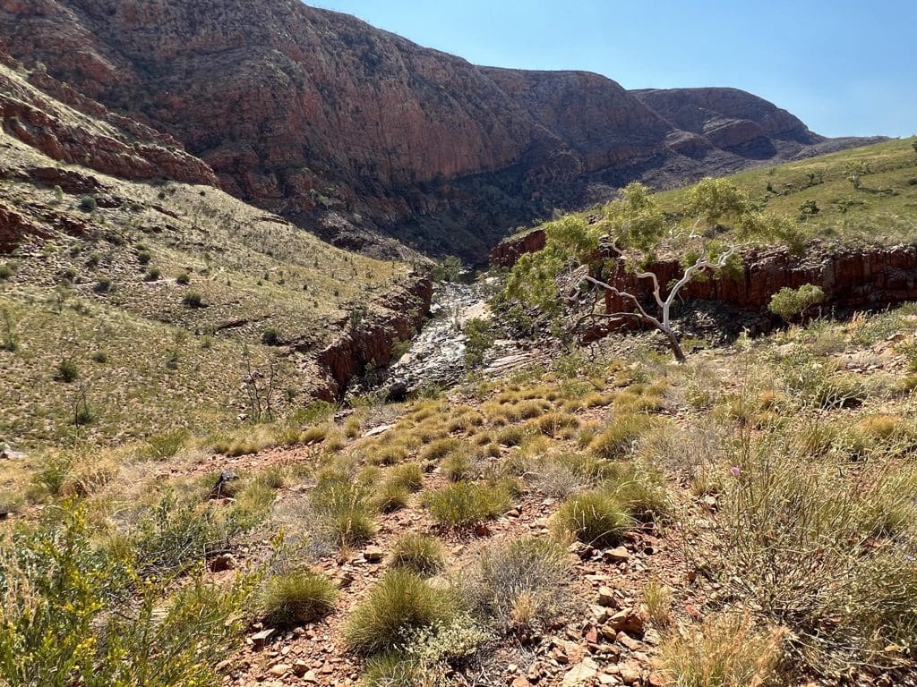

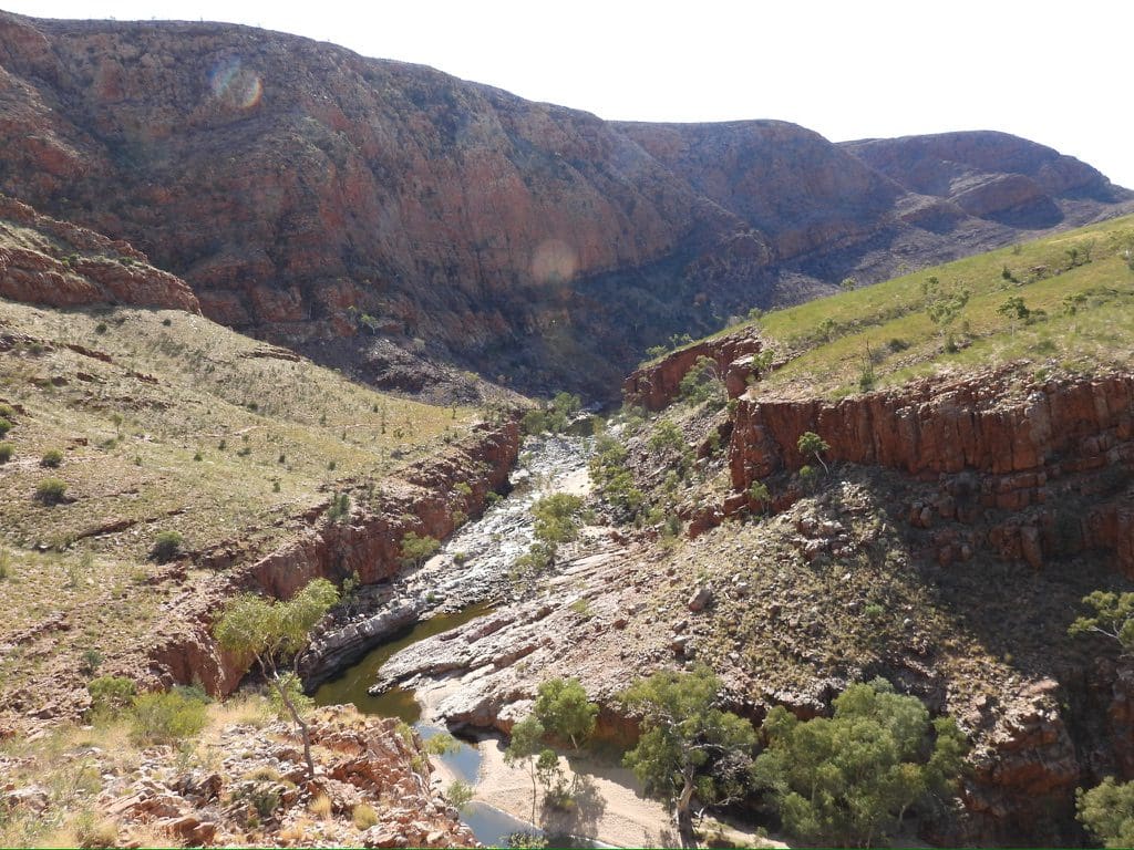
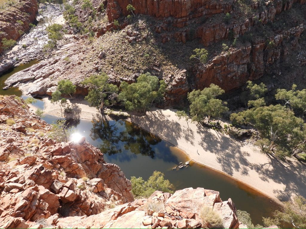
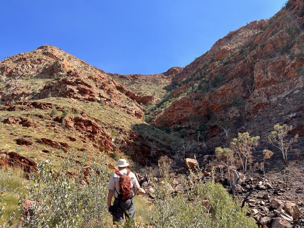
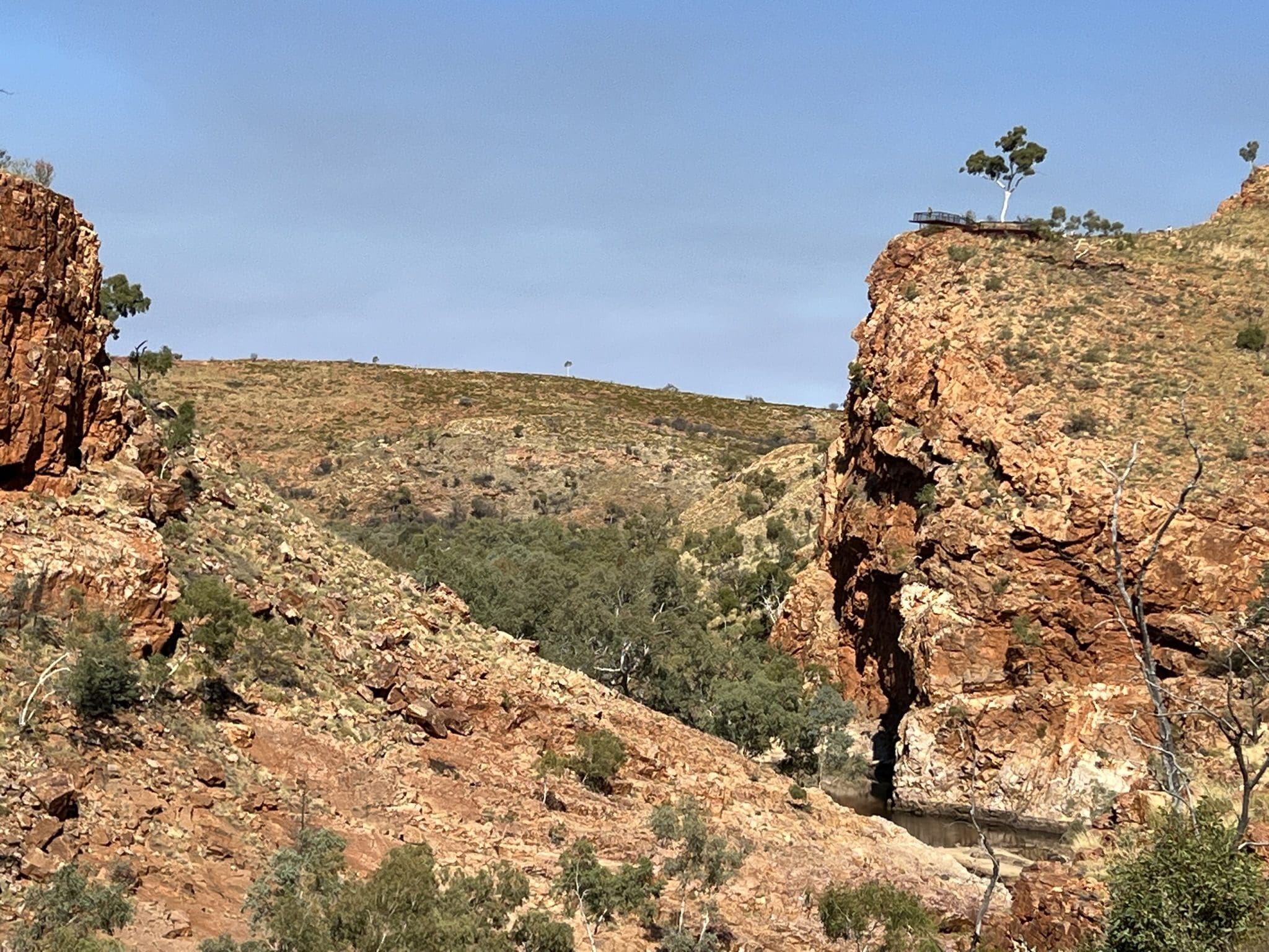
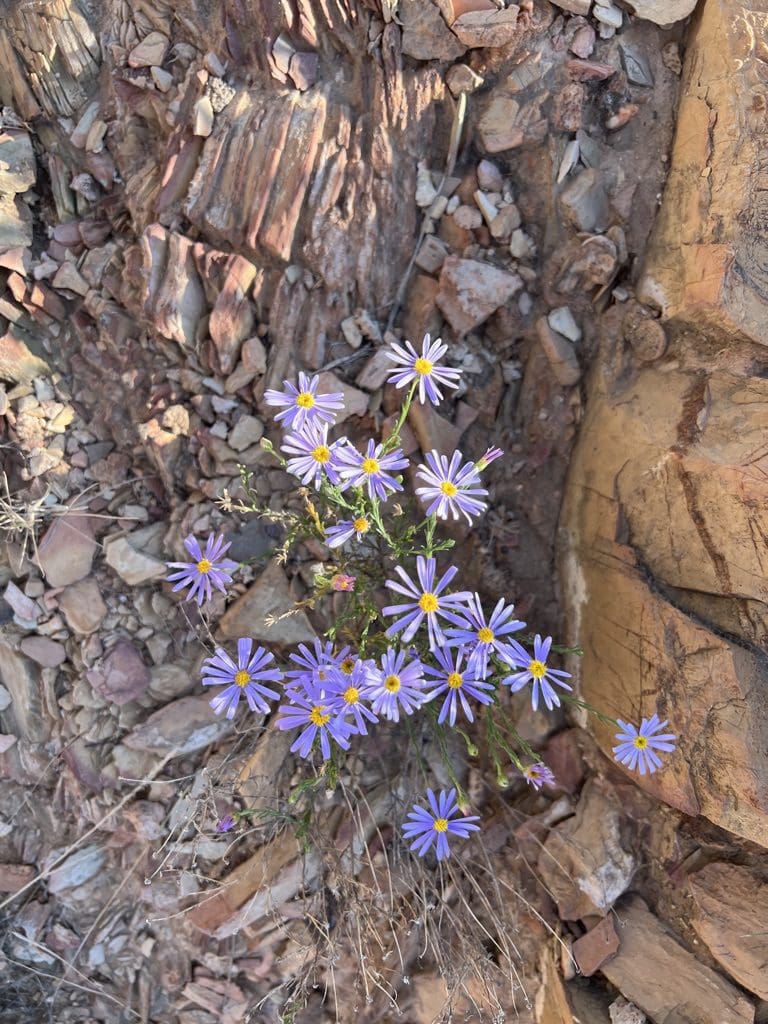
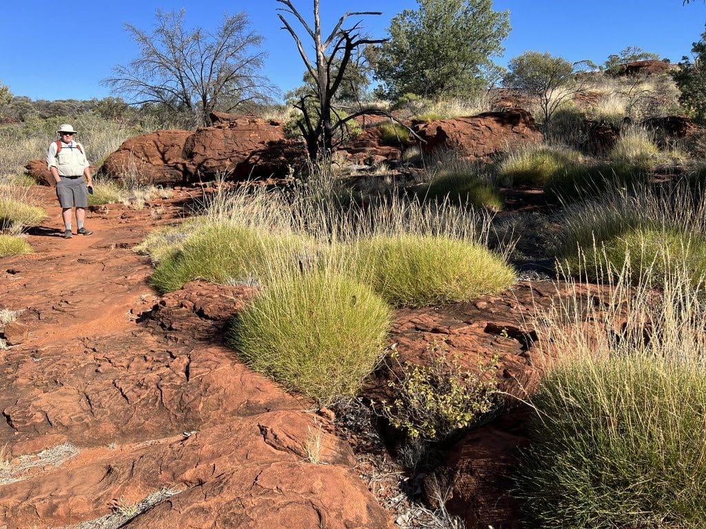
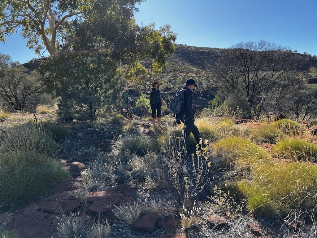
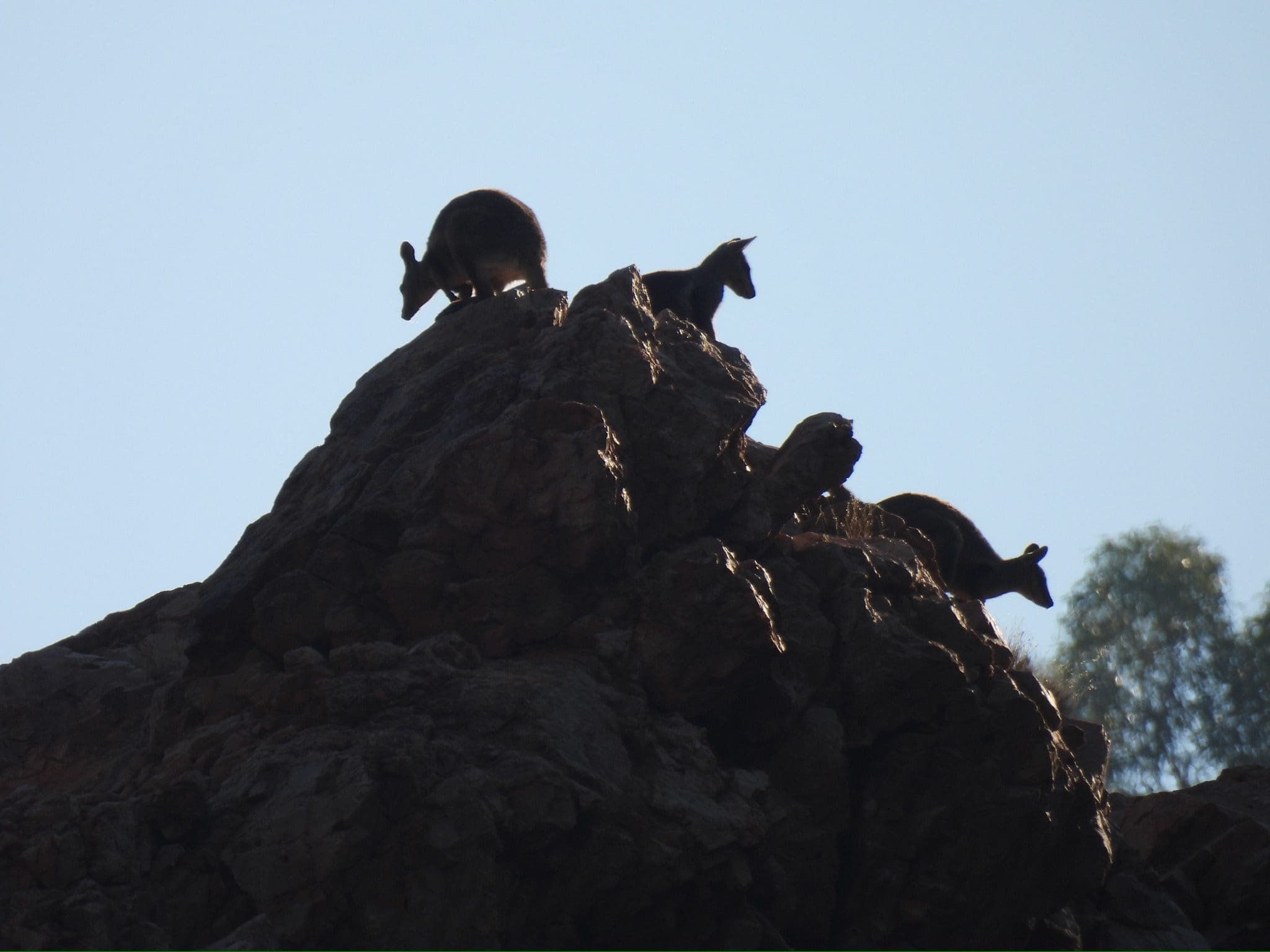
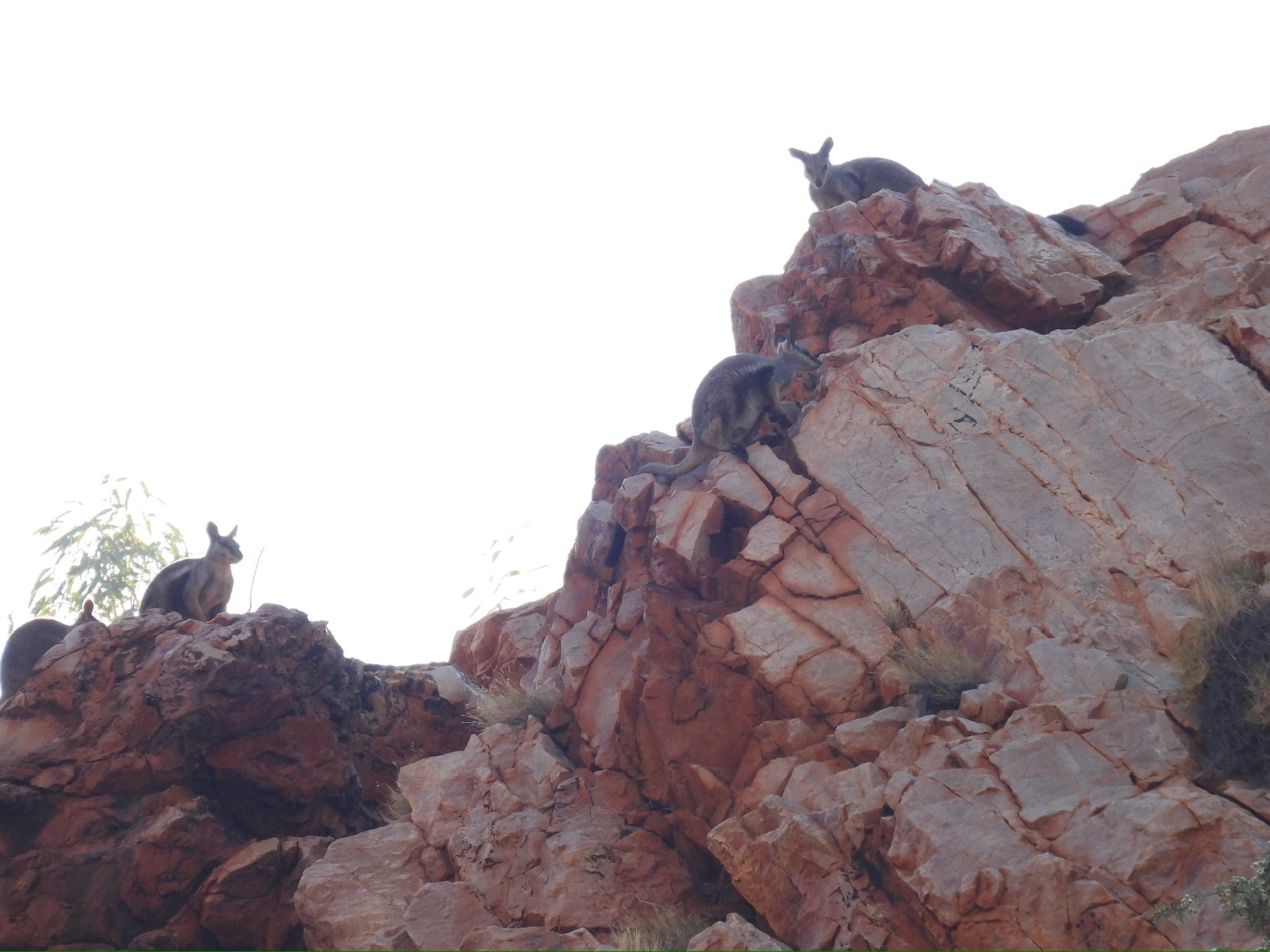
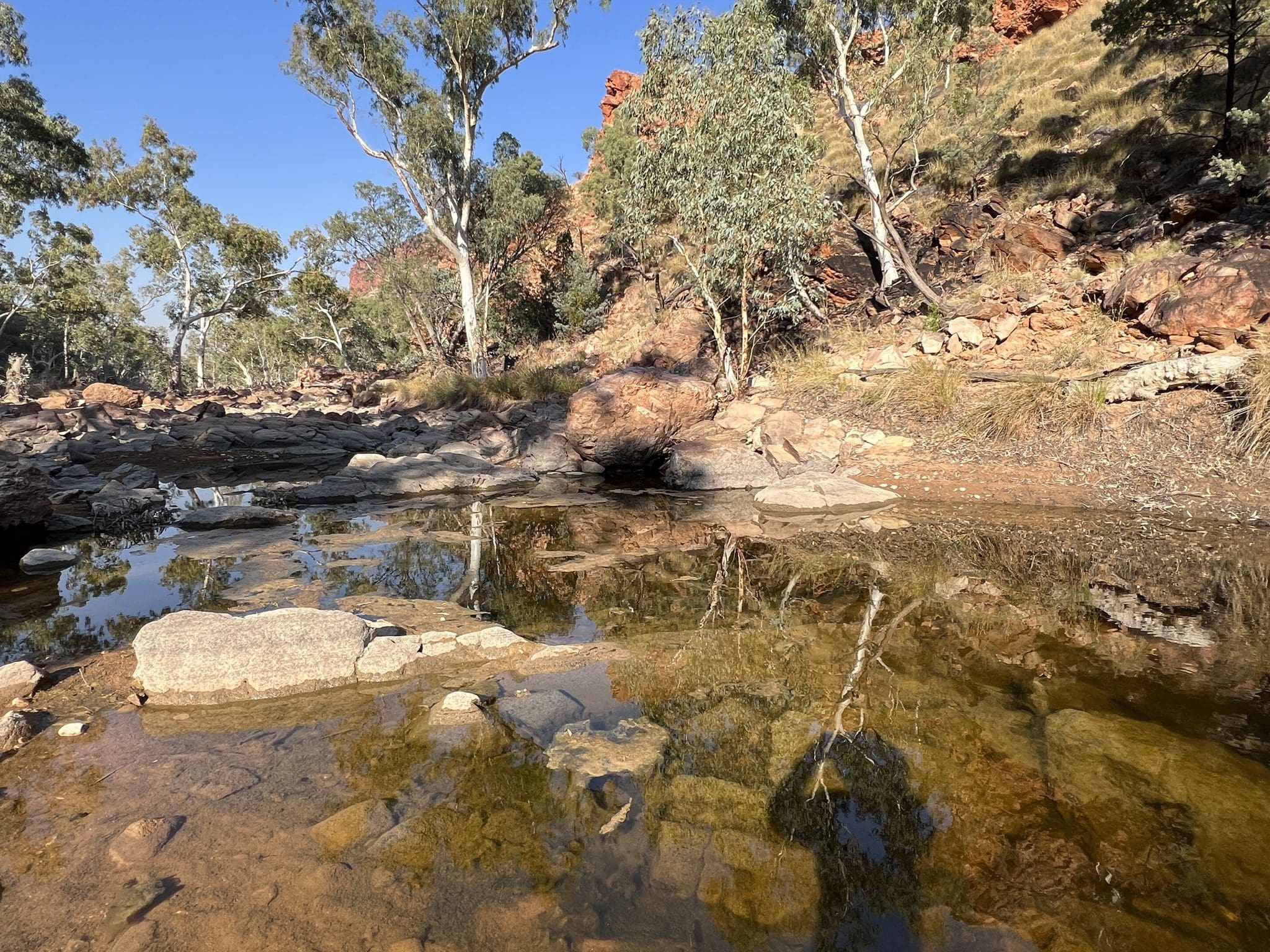
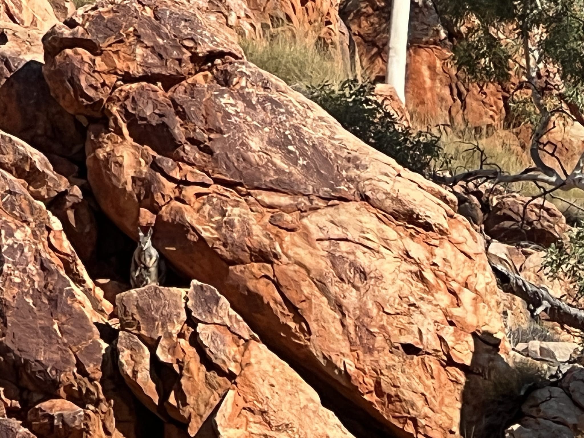
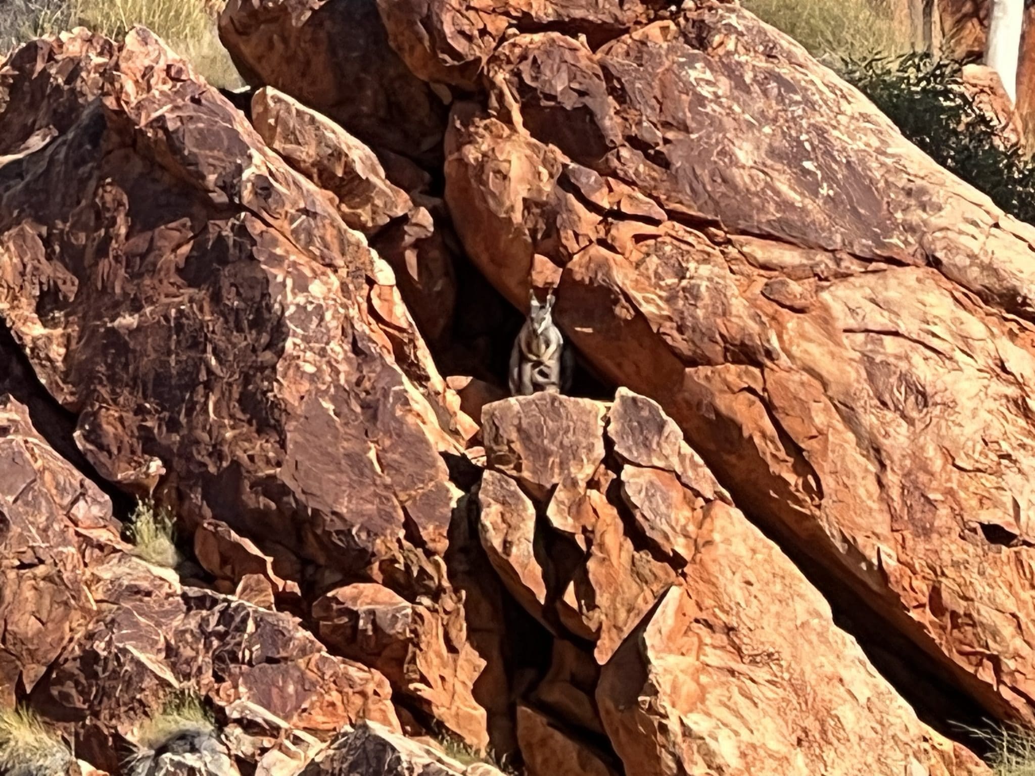
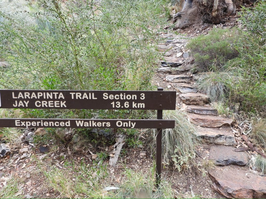
Saturday 3 June. Day 11. Penultimate day. Mild again overnight. Leisurely start. Walk along Redbank Gorge Tjoritja – partly along Redbank river on its way to join Finke River. Rock wallabies were the highlight until two idiots flew their drone over where the wallabies had come out to sun themselves. Birds a bit hard to see. Back at camp about 11am while two of our party went to find another gorge. I slept and read.

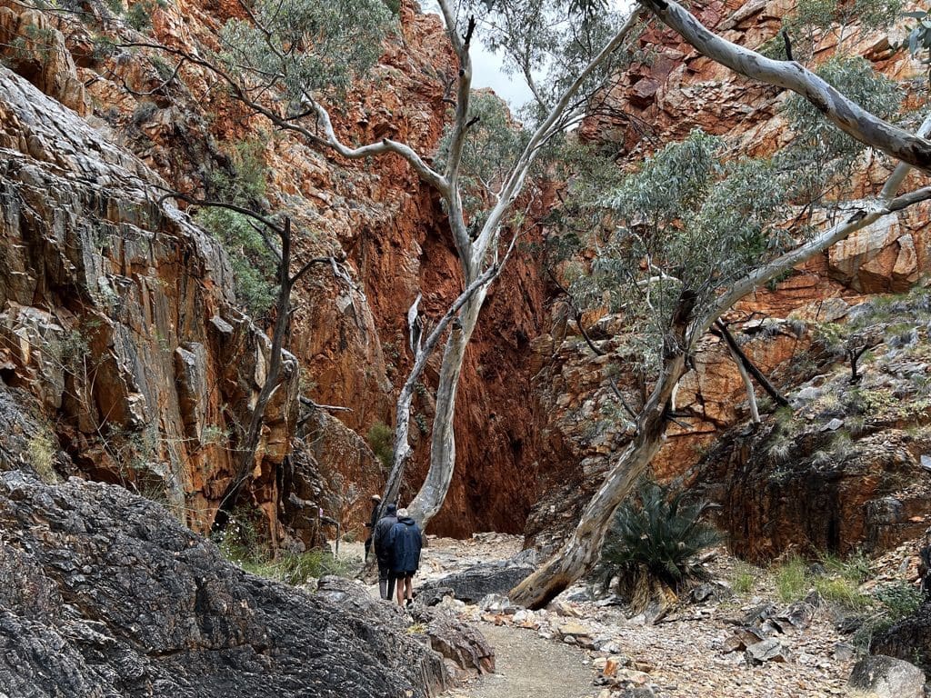
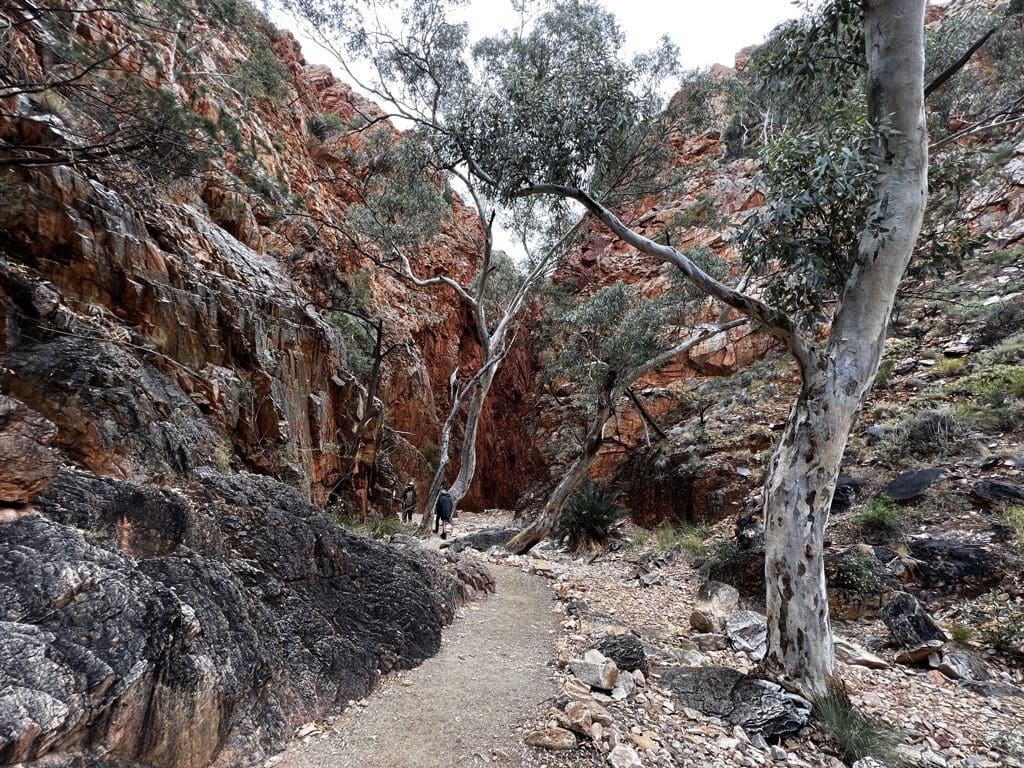
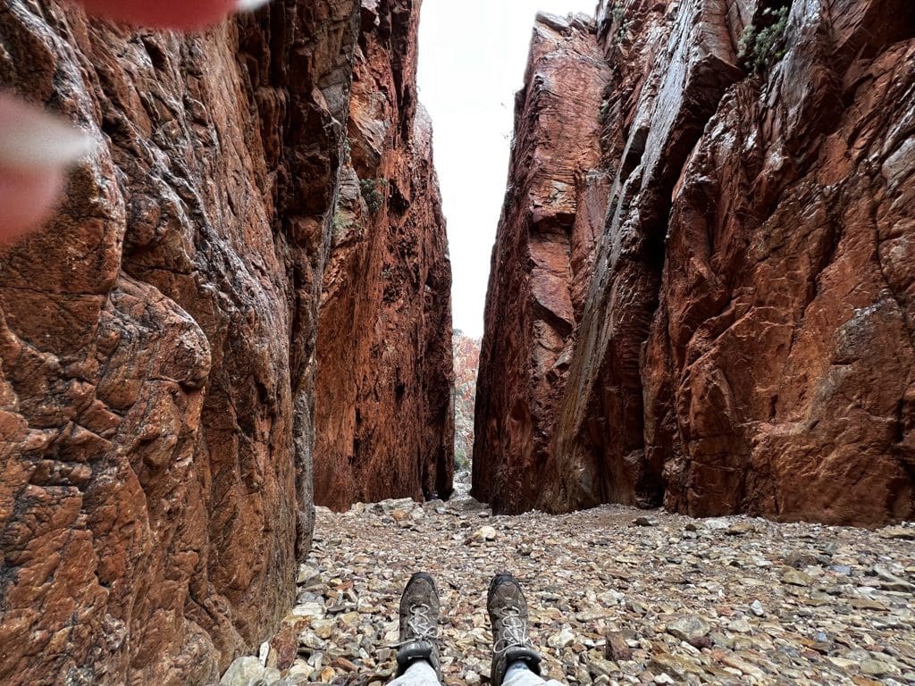
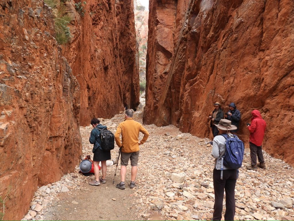
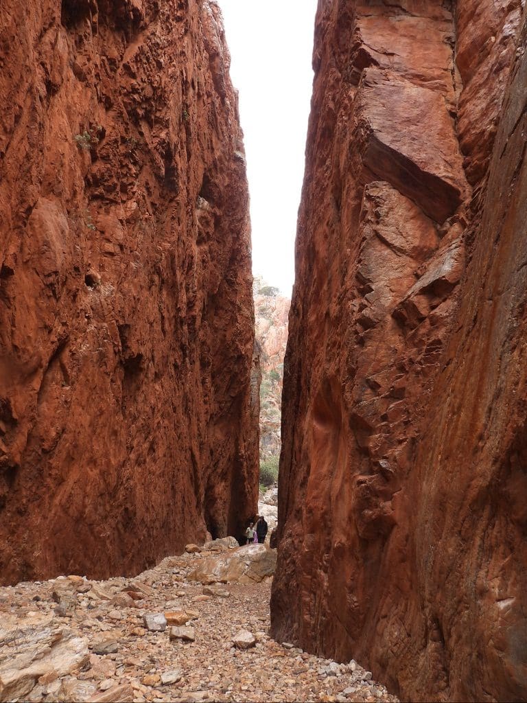
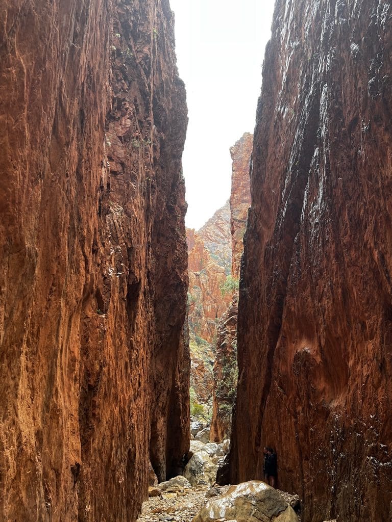
Sunday 4 June. Day 12. Last day. Thunderstorm began at about 5:30 this morning. Packed tents in the rain. A bit chaotic. I managed a faceplant while trying to carry both stretchers out of the tent and tripped over the tent doorway – face and glasses smack onto a rock. Bruised and contused right cheek. No breakfast because of the rain. Left campsite at 8am. Drove in steady light rain back towards Alice. Called in at beautiful Standley Chasm for coffee, breakfast and a walk along the Chasm track – bird rich and beautiful. This is really the end of the trip. Goodbyes, hugs and handshakes.
Drive from there to Alice and our accommodation at Elkira Court. Shower and walk to town for lunch and supplies from Woollies. Back to Elkira for batches of laundry and a kip. Quite tired. Now begins the week long recovery before the next (15 day) trip.

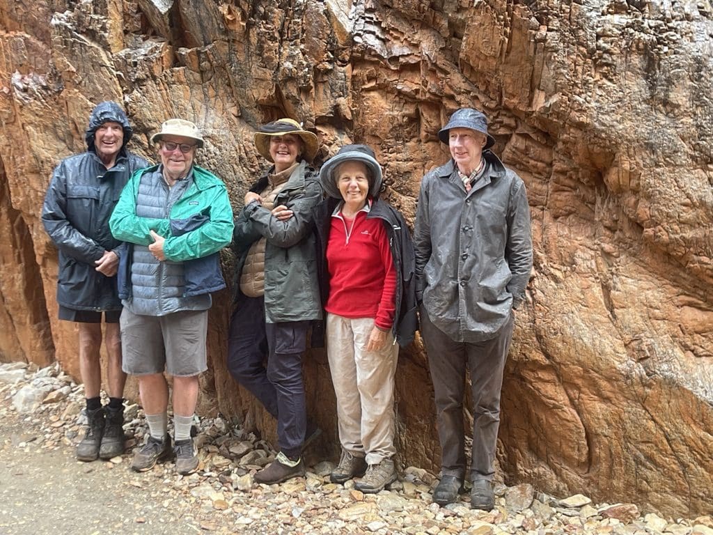
An excellent 12 day trip. Thank you Coates, Diana and Terry.
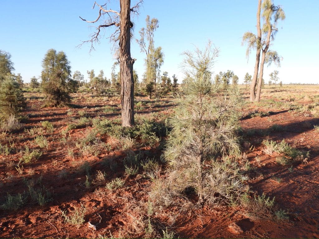
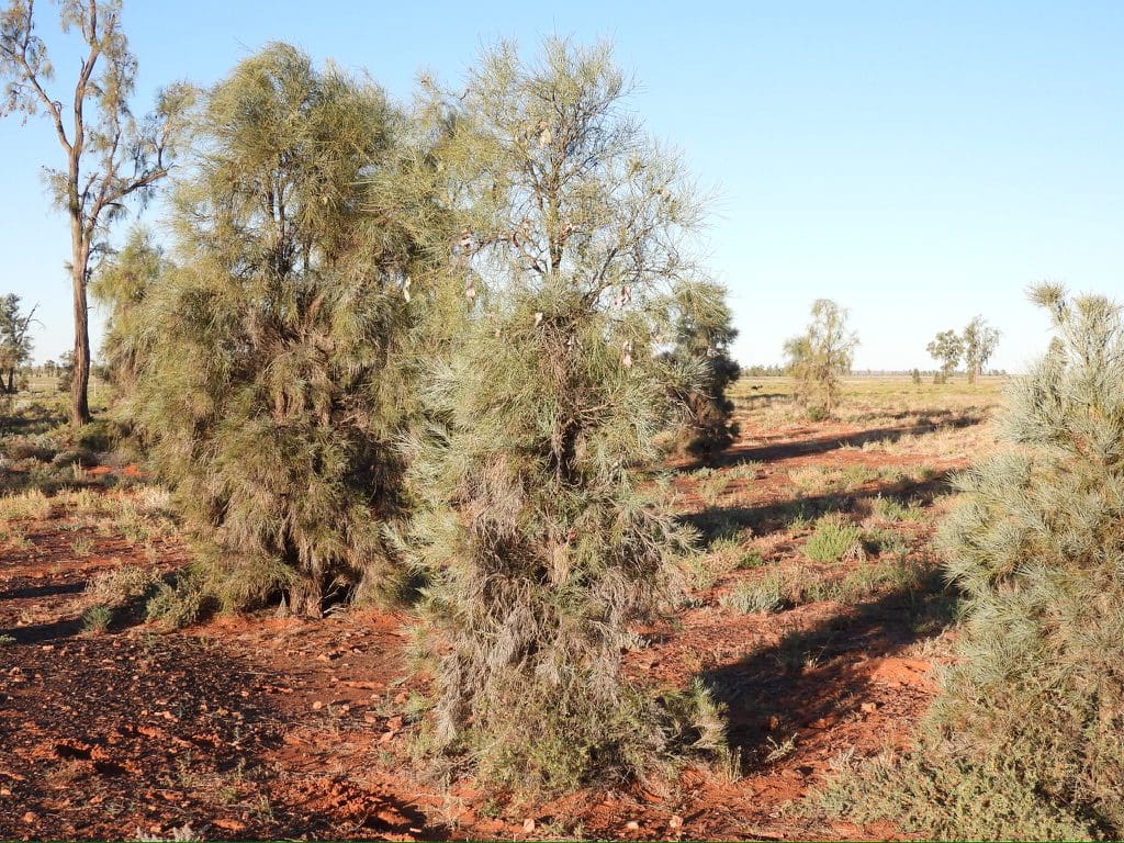
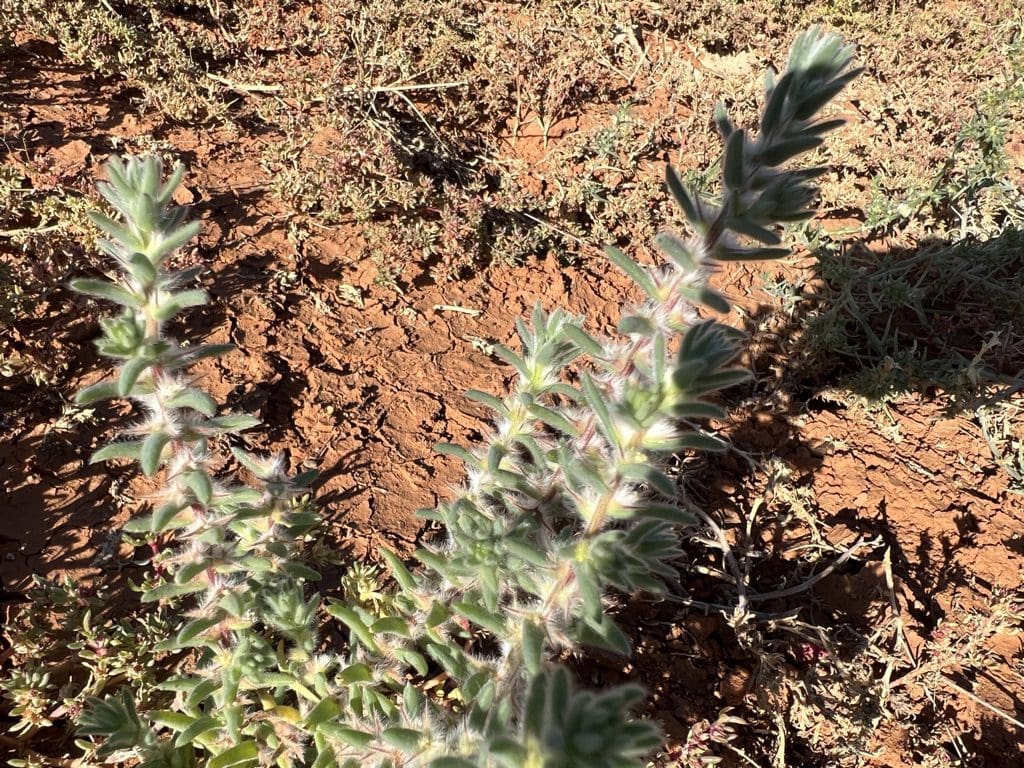
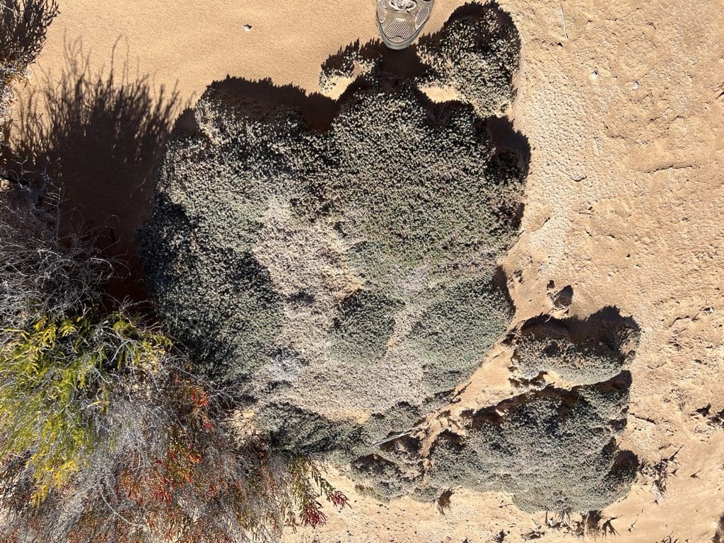
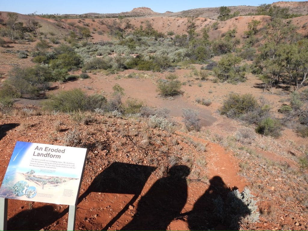
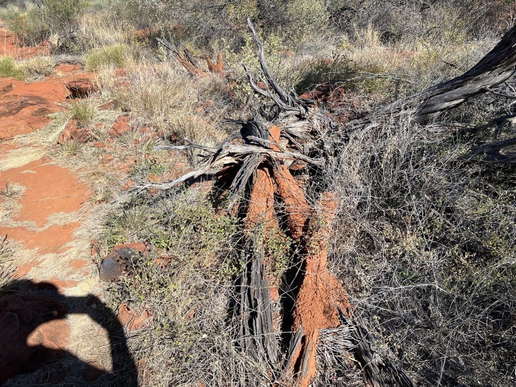
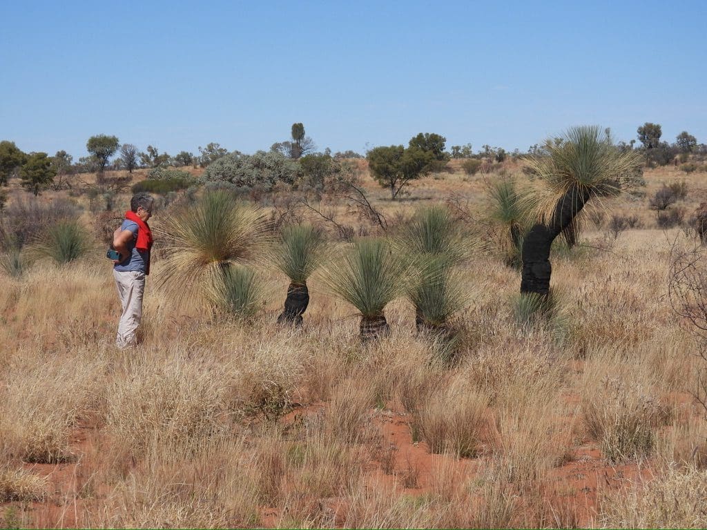
I should note the vast foothold the introduced buffel grass has across the country. It has engulfed large areas, displacing all other species. Animals appear not to eat it, meaning that they starve because their normal food is no longer available. Hence, emus and kangaroos are now rare or missing entirely. It also grows right up to and surrounds shrubs and burns very hot. This means that it is killing off all shrubs and so removing another habitat.