Kimberley trip – 2017 – Week2
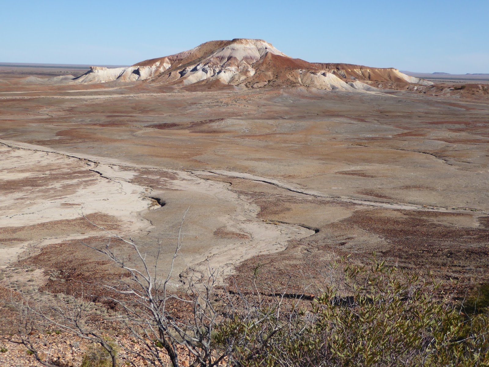
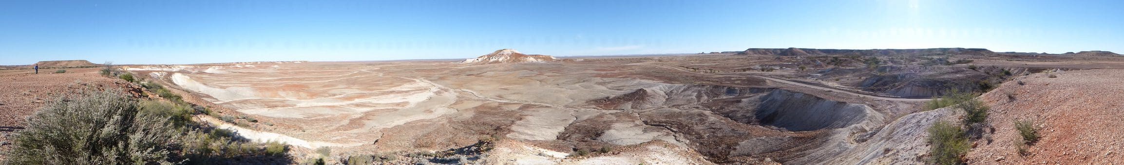
Thursday 4 May 2017. Day 8. We had a day tour to the Painted Desert with Wayne Borrett of Arid Areas Tours and Janine and Sue. An excellent day. After a longish drive towards Oodnadatta along a good fast dirt road across the Moon Plain, we turned right to Arkaringa Station and a walk through the Arkaringa Hills that make up the Pained Desert, so called because of different coloured ochres in the rocks of the escarpments and changes of colouration of the surrounding plains – literally painting the desert. Many photos. It was a full day. Wayne picked us up at 9am and dropped us back about 6pm. Very enjoyable. For me, one of the highlights was having lunch under what we think was a small river red gum in the dried-up creek bed of Arkaringa Creek.
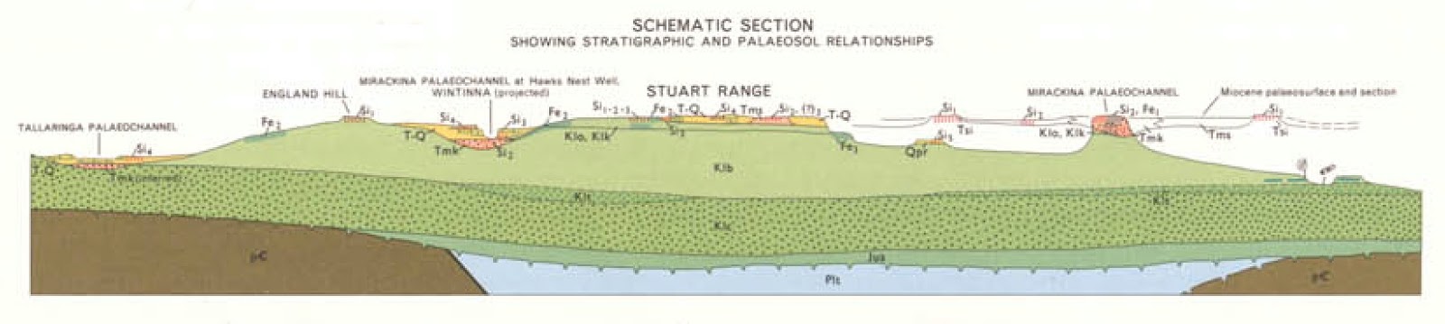 |
| Schematic section of geology of approximately the same landform as above photo |
 Arkaringa is one of the important geological formations in South Australia – part of the Permian Adelaide geosyncline. Overlying the Arkaringa formation are horizontal beds of Cretatious rock (one of which, the Bullock formation, has opal in places). These Cretatious rocks are part of the Great Artesian Basin. Sitting on top of the Cretatious rocks are horizontal sequences of Tertiary rocks much of which has been eroded away. Some hard bits of Tertiary rocks have resisted erosion and have left mesa like formations. These are beautiful. Poking up above the surrounding flat planes.
This was a very good personalised tour and Wayne Borrett does an excellent job. He runs several tours a week into places that the other tour operators do not cover and has no lower limit to the group size. He is extremely knowledgeable about and respectful of the country and its history. He clearly knows what he is doing dealing with different interests and levels of experience every week of the year.
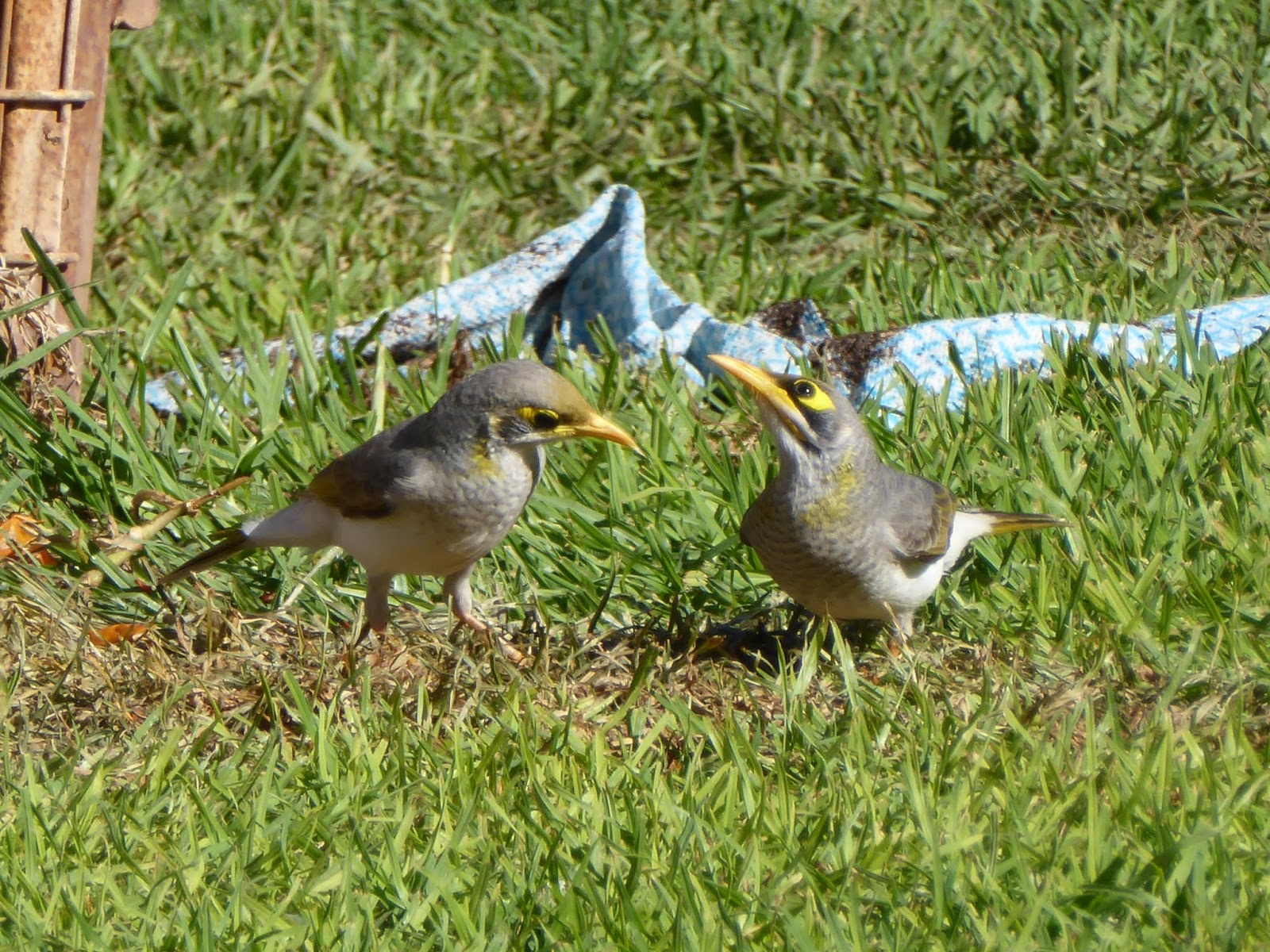
Friday 5 May 2017. Day 9. 255 km drive to Marla, which is a delightful Roadhouse/caravan park with green grass, trees, water and birds. After leaving Coober Pedy, the road continues for almost 200km along the Stuart Range plateau with no vegetation higher than a hand span – mainly Chenopods but some grass (which we assume to be very ephemeral and is burnt off very quickly). There has been good rain out here for the last 8 years, so this is as good as the country looks. For the last 50km or so into Marla, shrubs suddenly appeared and grow on sand or sand dune remnants. The commonest bird at Marla is the yellow-throated miner (looks like a finer-built noisy miner with a yellow extension to its bill, has a more pronounced yellow patch behind the eye and sometimes has yellow on the neck). At Marla, we are just a touch below 27ºS, ie about the same latitude as the Gold Coast/Tweed Heads.

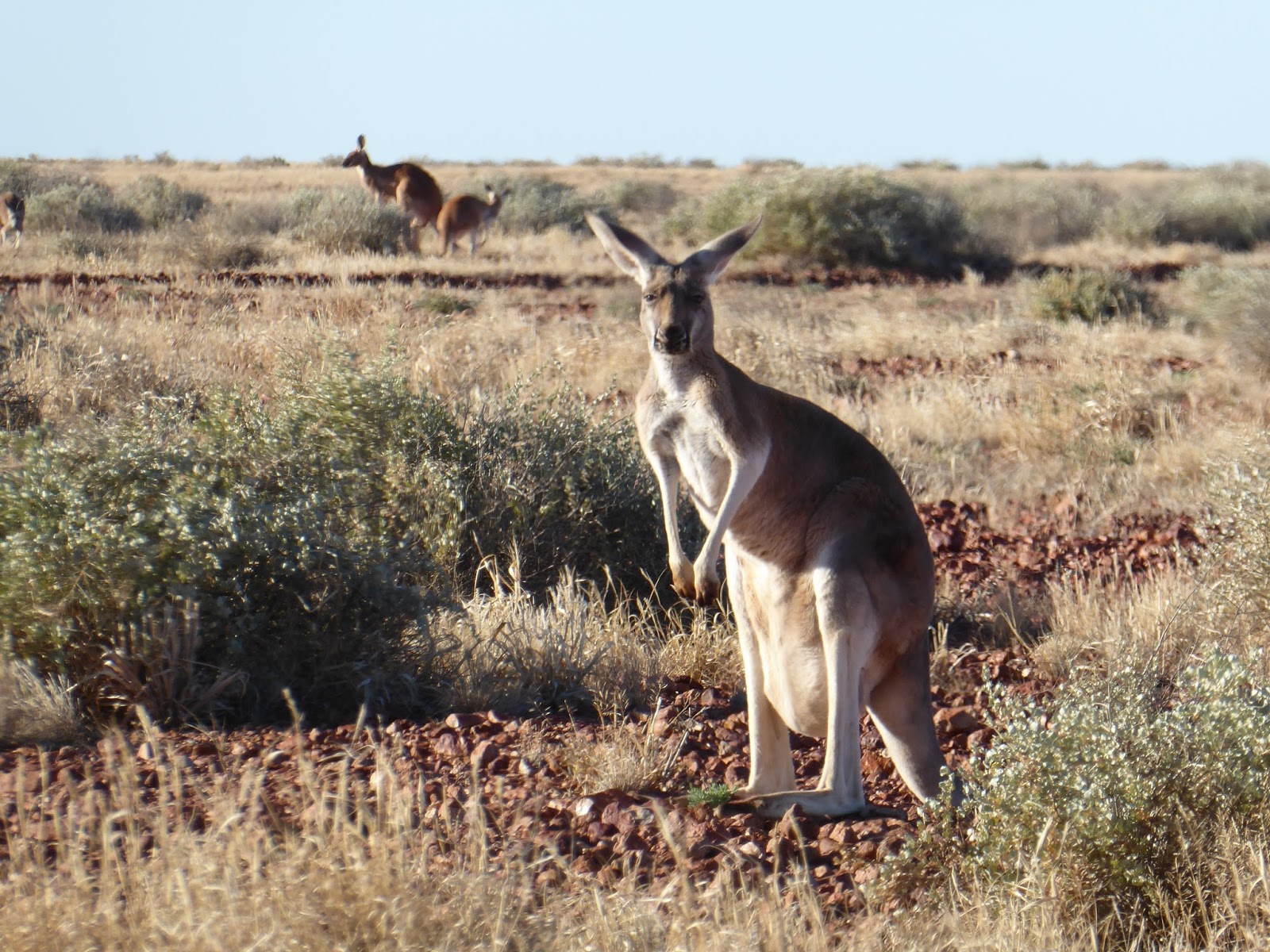
Saturday 6 May 2017. Day 10. 455km drive to Alice Springs. The country changed quite suddenly after Marla and from the NT border old remnant sand dunes began. The sand dunes added a whole new set of species – a large grevillea and a spiral leaved eucalypt plus many more acacias. This would be described as an acacia dominant vegetation (which is a pleasant change after hundreds of kilometres of Chenopods dominant). At Alice Springs G’day Mate Caravan Park which is an excellent park, very well looked after and with helpful and friendly staff. Highly recommended. Shade, birds and green grass. Birds at G’day: Australian ringneck parrot, singing honeyeater, channel-billed cuckoo (juvenile being fed by corvids), white-plumed HE, yellow-throated HE, plus the usual suspects – galahs, corellas, crested pigs, corvids, pewees, magpies. According to the bird book, channel-billed cuckoos do not come this far south. The photo above left is a juvenile channel-billed cuckoo at Alice Springs.
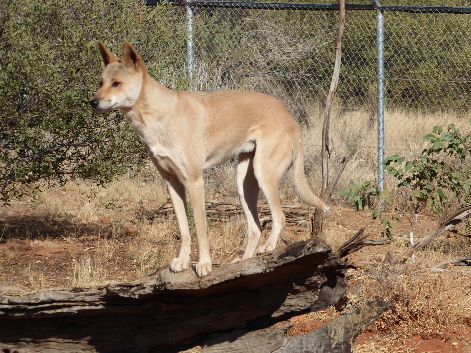
Sunday 7 May 2017. Day 11. At Alice Springs, we are just a tad south of the Tropic of Capricorn, so the same latitude as Longreach and Rockhampton. Today was a highlight of the trip so far – Alice Springs Desert Park. It opens at 7:30am and my advice is to be there early for the bird life. We arrived just before 9am and lined up for three exhibitions – Dingo Discovery (9:15); Nature Theatre – Free Flying Bird Show (10am); Aboriginal Survival in the Desert (11am). The talk on dingos was very interesting and the aboriginal woman talking about and passing around desert foods is also very interesting.
However, the show not to miss is the Free Flying Bird Show. Crystal showed off the flying behaviour of: Australian Magpie (taking food on the wing); Black-breasted buzzard (breaking open an emu egg with a rock); Barn owl (silent flight – stealth flyer); white-faced heron (fishing in a water hole); Australian Hobby (chasing a lure to simulate attacking a flock of budgerigars); Black Kite and Whistling Kite (taking food on the wing and fish from water surface). A truely excellent show.

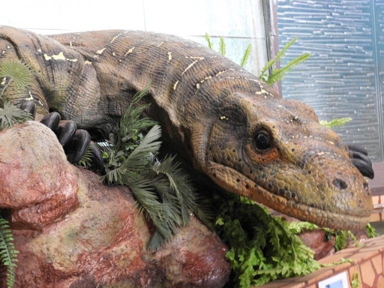
We stayed at the park until after 2pm and wandered around through the excellent displays of plants (many in flower) and the enclosed bird aviaries one of which is a walk-through aviary with many birds flying through. We saw: crested bellbird, white-winged triller, spinifex pigeon, dusky grasswren, western bowerbird, red-capped robin, hooded robin and painted finch (most of which I got good photos of). Plus perentie, thorny devil and numbat. Alice Springs Desert Park is an excellent place to see a lot in a small space and a short length of time. Go early in the day and stay as long as possible.
 |
| North-south geological cross-section through portion of the Amadeus Basin located 165 km west of Alice Springs. |
The geological section above is a N-S cross-section that shows the folding and faulting that formed the MacDonnell ranges which run in a band from about 200km west of Alice Springs through Alice Springs and another 100km to the east of Alice Springs. Significant rugged mountain ranges that attract many visitors.

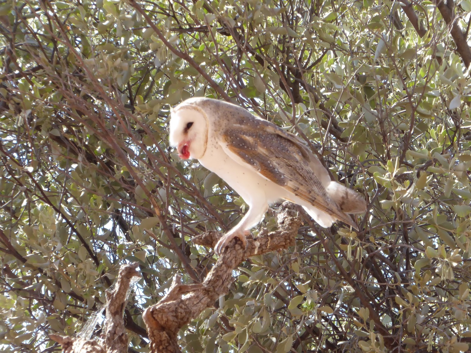
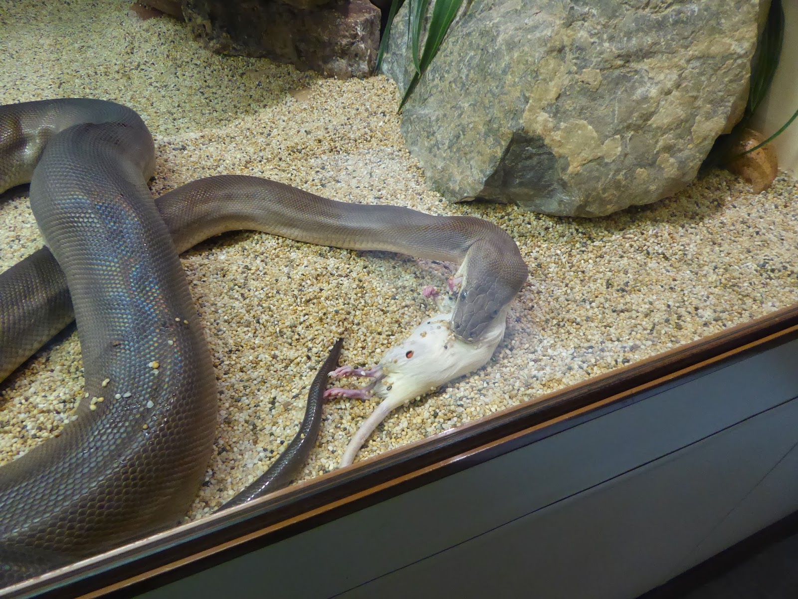
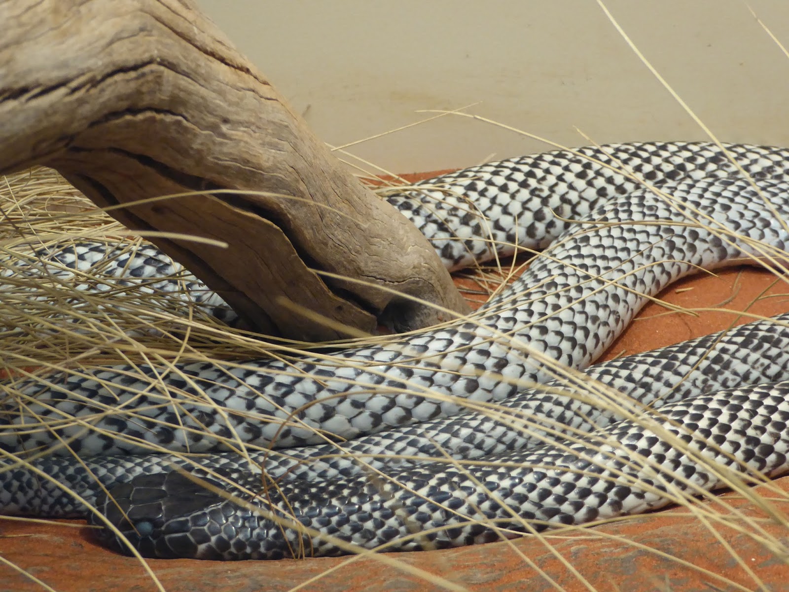
Monday 8 May 2017. Day 12. A day off getting supplies and washing. A bit of a walk through Alice Springs which looks to be a prosperous biggish town (city?). Certainly, most of the people we see about the streets are aboriginal people who appear to have nothing to do and sit around in groups. Anyway, we bought a trolley load at Woolies to last us a few days and wandered through a few art galleries and wondered at the extraordinary prices being asked for paintings. After lunch we went to the Alice Springs Reptile Centre which has a very good collection of snakes and lizards. We saw the olive python eating its rat, perentie and black-headed python basking, took lots of photos and stayed around for the talk – which again was excellent. I held an olive python – or did it hold me?
 |
 |
 |

Tuesday 9 May 2017. Day 13. 500km drive from Alice springs to Tennant Creek. We had lunch at Devil’s Marbles along the way. We had planned to camp at Devil’s Marbles for the night but decided to move on. We bought fuel at Barrow Creek (the most expensive fuel so far $1.89 per litre) and I overheard a young person if ‘anyone around here sells LPG gas for my car?’ What a shock to get out here and find no LPG for the car. As I understand it, few places outside cities and the eastern coastal fringe sell LPG for cars.

On to Tennant Creek. We are in an old though shady van park on the eastern side of town – Outback Caravan Park. According to travellers from Darwin (who stay here often) this is the better of the two parks in town. The other is done over regularly. Tonight, we had a full moon and watched through the binoculars. Spectacular. (Photo left is handheld with my Panasonic Lumix TZ70 on 60x zoom.) At Tennant Creek we are at about 19ºS, ie about the same latitude as Ayr.
Wednesday 10 May 2017. Day 14. Drove 400km to Daly Waters. we are at the Hi-Way Roadhouse and Caravan Park which has watered green grass and shady trees. 32ºC when we pulled up. We had a Barra Burger for lunch. I hope there will be many more Barra burgers to come. To here, we have driven 3,300km and are almost 2/3 of the way to Broome. Today was the last long drive for a while. We have now arrived at the first area we want to explore. At 16º18’S – ie at the same latitude as Mossman.

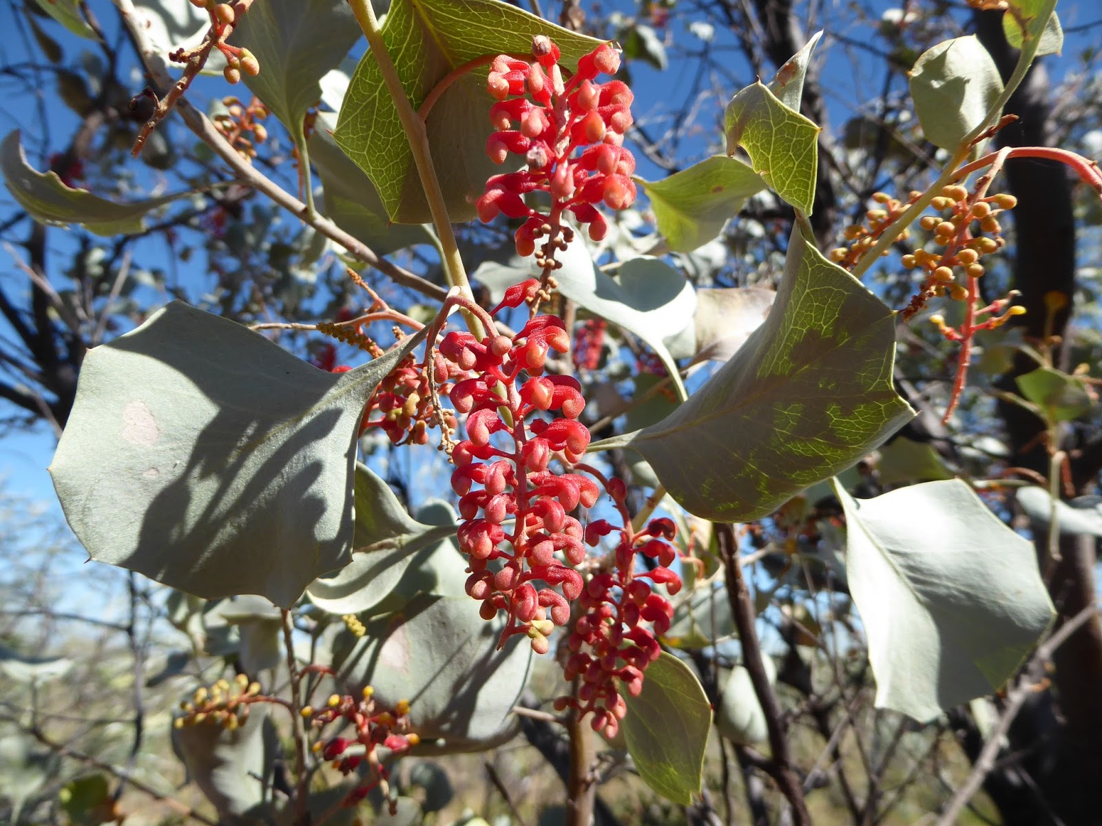
Most of the way today was through very varied vegetation. Several grevilleas, many acacias and small eucalypts. The first trees since leaving the Murray River at Morgan. Today saw the beginning of Mulga (Acacia aneura) one of my favourites which comes across in a belt from southern Queensland. We have spent quite a bit of time with our heads in the plant book. We are next to an open horse paddock with a water seep. Quite a lot of birds. Apostle birds came in a racketed around us. Apostle birds like cashews very much.