Kimberley Trip 2017 – week 8 – Gibb Trip 1
This post and the next describe the 16 day, 3,800km Gibb River Road trip with Kimberley Safari Tours. We had a very good time. For the first week (this post), we were mainly on bitumen as we made our way from Broome to Kununurra and Lake Argyle. The second week (next post) saw us almost entirely on rough to very rough dirt roads and dust. Loved it.
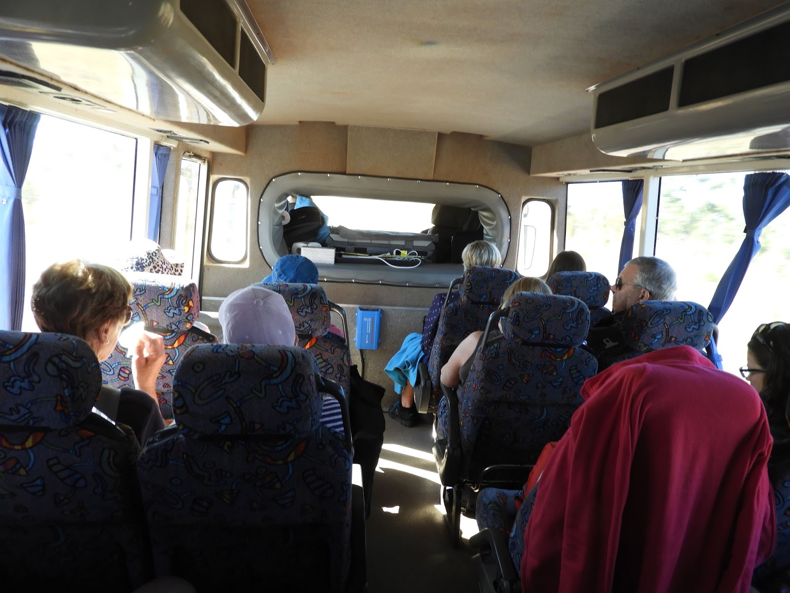
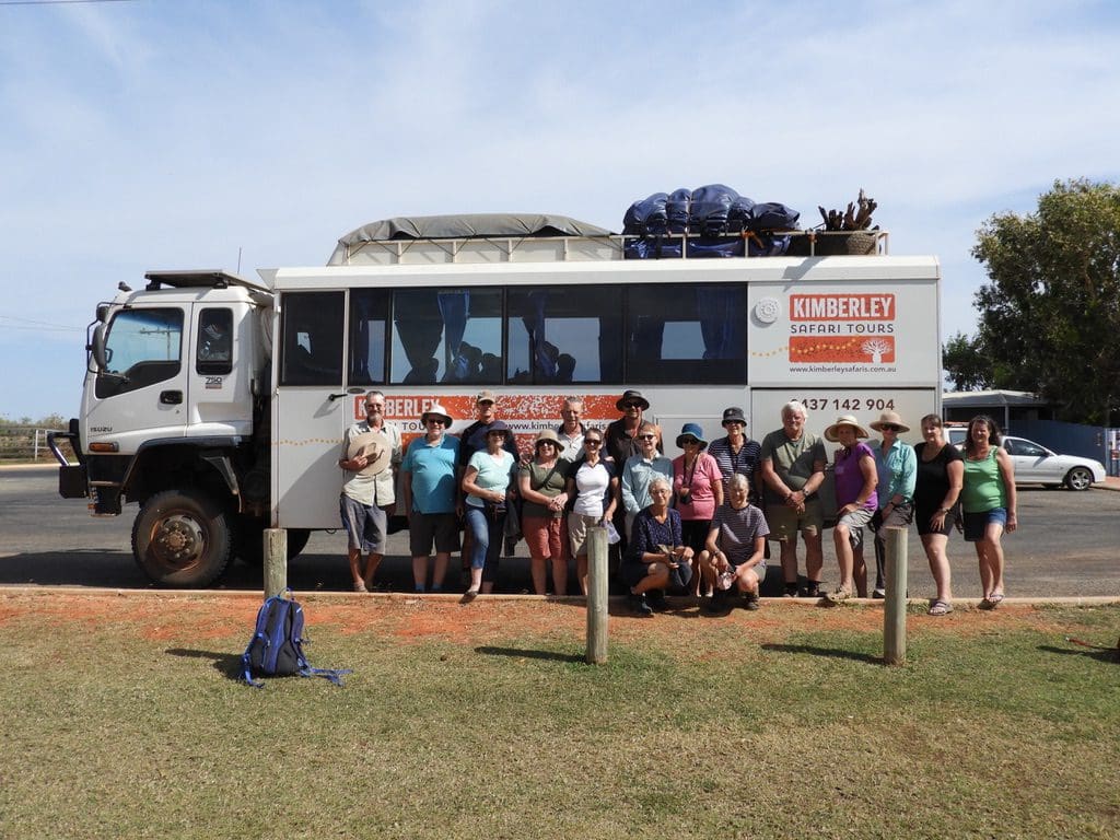
Tuesday 13 June 2017. Day 48 Gibb Trip Day 1. Broome to Fitzroy Crossing. An early start for us to close down the van for storage and be picked up at 8:15am. We are 16 people on the 16 day Kimberley Safari Tour in a 19 seat bus. The main job for the day was to drive 420km to Fitzroy Crossing and take a tour of Geikie Gorge.

Geikie Gorge is formed where Fitzroy River cuts through an old Devonian reef (700 million years old). We were a crowd of about 200 people on 3 linked barges. Expert driving to get us along the gorge and back. At the height of the wet, one Sydharb of water charges along the Fitzroy River and out to sea every 4 hours and 40 mins.

Kimberley Safari Tours is a very small private company with three buses. This is its third season. We have one of the owners (Matthew Bambach) as our tour leader. He has a background in HR and has been travelling in the Kimberley for many years. I have the very strong impression that the company was established to share the area that Matthew and his wife Carmel love. As you will see, we loved it too. Very impressive and highly recommended.

Wednesday 14 June 2017. Day 49. Gibb Trip Day 2. Fitzroy Crossing to Wolf Creek Crater. Early starts will be the norm on the trip – we will normally be up at 5:30am and on the road by 7:15am. Today is mainly a slog along the road. A few times we met up with the Devonian Reef from Geikie Gorge. The last time we saw it was the jump up where we leave the Fitzroy River basin. From there east we are influenced by the Ord River and the drainage systems that flow to Wyndham and Cambridge Gulf. Arrived at Wolf Creek Crater in the dark after 2 1/2 hour drive along the Tanami Road, which is in good condition having just been graded after the wet.

Thursday 15 June 2017. Day 50. Gibb Trip Day 3. Wolf Creek Crater to Bungles campsite. Wolf Creek Crater was formed when a meteorite crashed into the earth 300,000 years ago and formed a crater almost 1km wide and 250m deep. It has filled up a bit with dust over the years and is now just 60m deep. This would have been a good splash. Imagine the splash if that meteorite had hit some mud. In this case, it crashed into granite and caused the granite to splash!

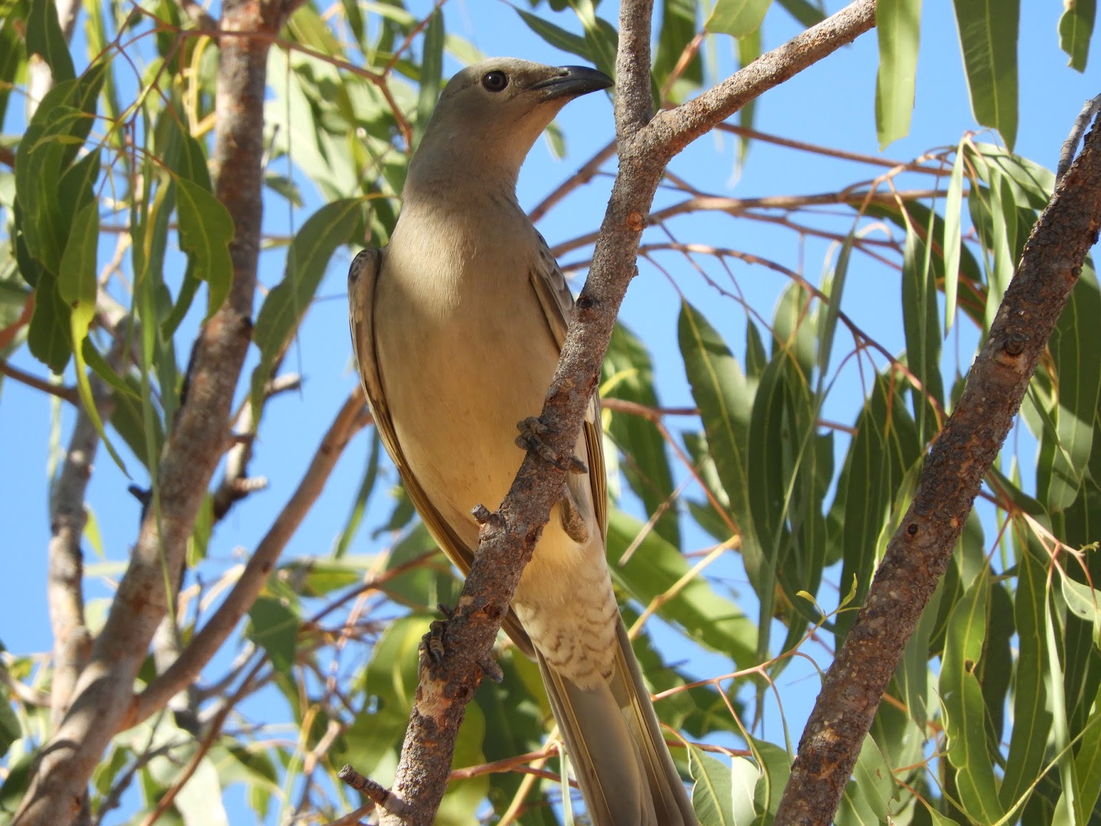
We walked to the bottom and were lucky enough to see Australian Hobbys (a medium sized bird of prey that usually lives on small birds – like budgerigars). Today a pair of Hobbys, who we think live in the crater and make a good living there, were trying to take one of five Major Mitchell Cockatoos. Much screeching, cries for help, wheeling and diving. A dangerous place for small and even big birds with that pair of Hobbys living here.

We found a very small waterhole near the crater centre with quite a few budgies, zebra finches, brown honeyeaters, rufous whistler. The vegetation in the crater is zoned, with spinifex around the outer, then acacia then very sparse spinifex growing on a salt-crust area over mud. The water hole was in the centre bit.
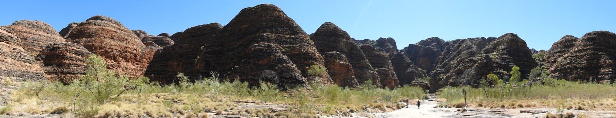

Friday 16 June 2017. Day 51. Gibb Day 4. Purnululu National Park. A huge day. First to the Piccaninny area for a walk (through sand) to the Domes and then to Cathedral Gorge. This is the area of beehive domes – horizontal bedding in sandstone that has been heavily weathered (until all the material binding the sand together is gone and the sand is almost free standing just held in place with a very thin cap) stained with bands of iron and Cyanobacteria. It looks spectacular, yet it makes up just the southern edge of the Bungle Bungle Range – which is itself cut by the massive joints and cracks.

After lunch we drove to the northern edge of the range and the spectacular Echidna Chasm which cuts through a very tall band of coarse grained conglomerate, probably dropped by significant glaciation. We don’t usually think of glaciation in northern Australia, however the Halls Creek Fault was a significant active fault that ran from south west of Halls Creek to Darwin. For hundreds of millions of years it was as active as the San Andreas Fault and the Alpine Fault of NZ.

This was a very high energy area with huge mountains being formed and eroded away, and yes, glaciers. A very good walk to the end of Echidna Chasm along a pebble/small bolder dry creek. The road in from the the camp is just over 50km long and takes 2 1/4 hours to drive in each direction. To drive from Picaninny to Echidna takes about 1 1/2 hours. The road surface itself is very good (having just been graded at the beginning of the season), however, it is winding and dips down into many creeks and watercourses.

Saturday 17 June 2017. Day 52. Gibb Day 5. Bungles to Lake Argyle. Began with a 6:30am 30 minute helicopter flight over Purnululu – spectacular in the early morning light. The flight crosses the centre of the Range along Deep Gorge then joins Piccaninny Gorge and the Domes. The highlight of the day. Most of the rest was taken up with the drive to Kununurra and out to Lake Argyle for the night. We had two tours while in Kununurra: Sandalwood Factory and Hooch Distillery.

The Ord River has seen a continual series of schemes to use this ‘water in the north’. To date everything has failed: cotton, rice, sugarcane. Every new scheme is met with another round of enthusiasm and results in another failure – broken lives and communities. You can expect that we will continue to have more snake oil salesmen selling yet another ‘saviour of the north’. The latest schemes involve sandalwood (a parasitic plant that needs to be planted with a few ‘host’ plants that it kills off).
Although the sandalwood itself does not appear to have the potential to escape, at least two of the hosts do. Is this another ‘cane toad’ being introduced so someone can make a bit of money? The other scheme is chia (they are hoping the world will suddenly discover chia and each person eat a tonne per year). The last 4 nights have been quite cold (down to 11ºC) – a temperate for which few of us have the gear – shivering wrapped up in sleeping bags. Tonight, is a very pleasant 19ºC.
 |
| Lake Argyle cruise |
Sunday 18 June 2017. Day 53. Gibb Trip Day 6. At Lake Argyle Resort. Lake Argyle was formed by damming the Ord River to do something with water that every year charges out to sea in the wet. It is huge and holds about 20 Sydharbs. Today, after many failed attempts at various speculative (just add water) ventures, it does little except make a little hydro electricity for a few small towns (Kununurra, Wyndham).
 |
| Lake Argyle spillway |
This year, the wet was so big that there is a 2 metre high water mark around the lake edge and water is still flowing over the top of the spillway. Now the dam is full, most of the 80 odd Sydharbs of water collected by the Ord River will continue to charge out to sea each year. Maybe we could store the electricity, we have certainly failed to do anything with the stored water.

Kununurra van parks have a time zone problem. Most parks have a check out time of 10am. People arriving from NT have been on a 1 1/2 hour earlier zone and come tumbling into the parks way before people have left. So, arriving vans need to be held in a holding area with people working two-way radios to track departures from sites and guiding the appropriate arrival into place. Lake Argyle Resort is a very large van park with plans to expand next year.
 |
| Start of the Gibb |
Monday 19 June 2017. Day 54. Gibb Day 7. Lake Argyle to El Questro. Early start and restock at Kununurra then we headed off towards Wyndham and turned onto the Gibb. 100m before the bitumen ends we turned left to El Questro where we are camped beside the Pentecost River. We went on the Chamberlain Gorge cruise and fed a few fish – Catfish, Anglers (that shoot water at insects, and tourists in tour boats) and a few very big Barra.