Simpson Desert Trip June 2019 – week 2
Wednesday 26 June 2016 – Day 8
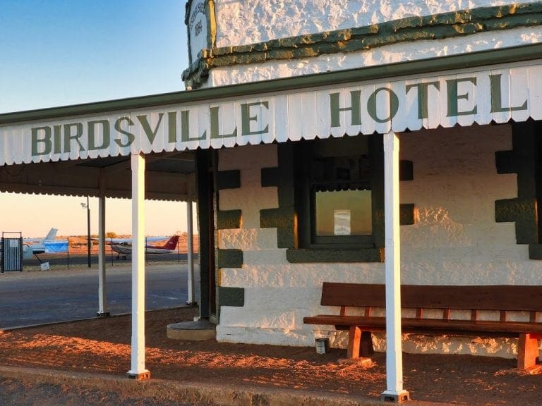
We retraced our steps from two days ago. A bit of a late start caused by a power outage across all of Birdsville when a pole in the caravan park caught fire and tripped out a transformer. Why would that hold us up you ask? Because we needed to add fuel to the kitchen truck which had its fuel tank patched last night. (Unsuccessfully as it turned out later). We had to wait until the Roadhouse opened at 8. It had a generator of sufficient strength to power the diesel pump. This outage is serious deal for Birdsville – parts and fixit people have to come from Broken Hill or Mt Isa. We left Birdsville at 9 am – 1 hour late.
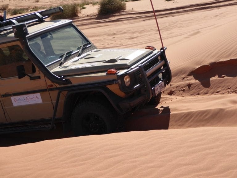
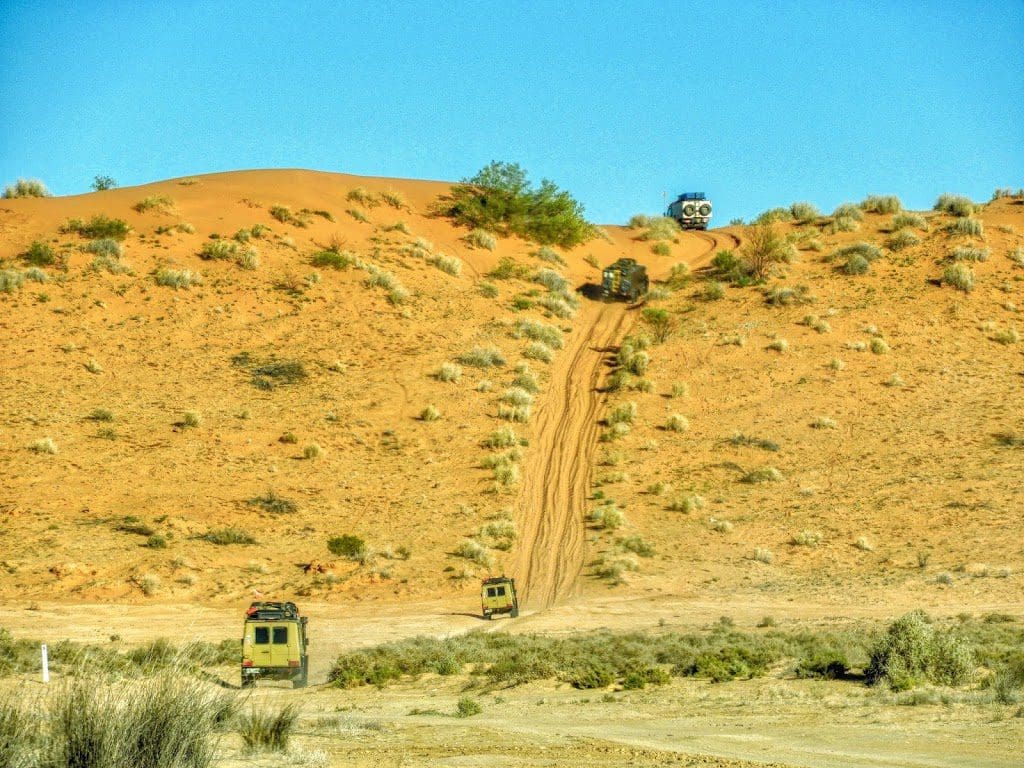
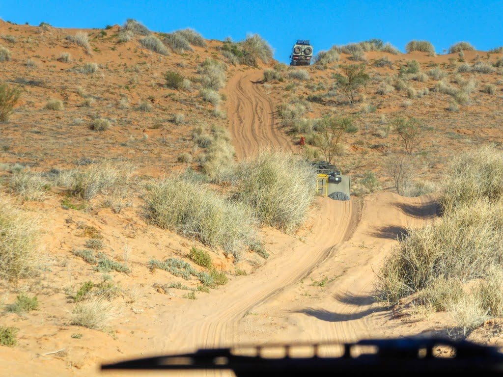
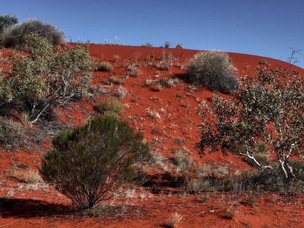
Drove west over Big Red – again – north along Eyre Creek to the crossing point – 1 hour. Morning tea. White-winged triller. Crossed Eyre Creek – again. South along Eyre Creek detour to join QAA Line W over the same dunes as 2 days ago.
[I travelled with Bill today in the toilet/shower truck. We had the two heavy vehicles in front on the convoy again today – dunes are steeper on the eastern (lee) side).] West to join Hay River track just before Poeppel Corner and new country.
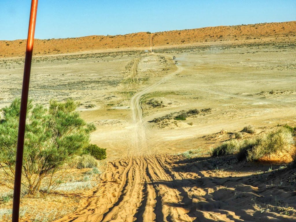
Where we turned off, we had just crossed a third large salt lake – this was the biggest. Where did the salt suddenly come from? We had not seen any before. I’m guessing from the north. Maybe these salt lakes are old overflows from the Georgina River – but it does not get this far south.
We camped about 2-3 km north of Hay River turnoff from QAA. I’ve had hayfever and all day. It began last night – I think from dust possibly in the room at Birdsville hotel. (Who would believe there is dust in the Birdsville Pub.) Gradually easing during the day but a significant pain.
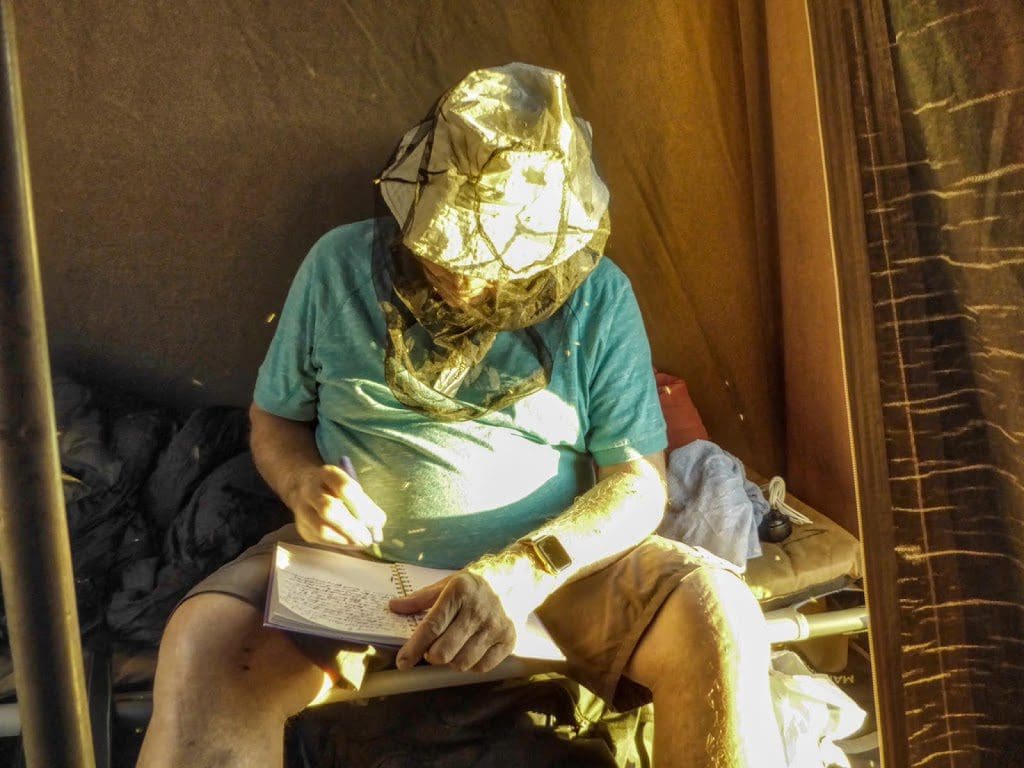
I’m writing this with a fly-net over my head. If you had told me I would be walking around with a fly net – almost showering in the flynet, I would not have believed you. Warm today – minimum this morning about 2°C, the max 23°C. Possible barn owl heard tonight a good distance from the camp.
Thursday 27 June 2019 – Day 9
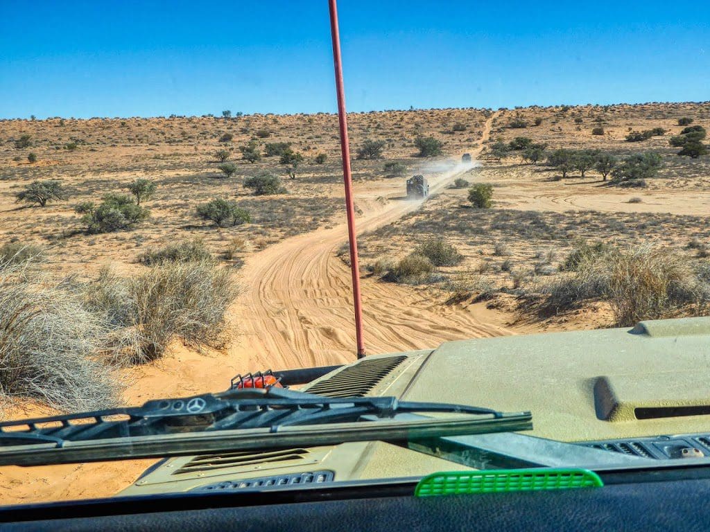
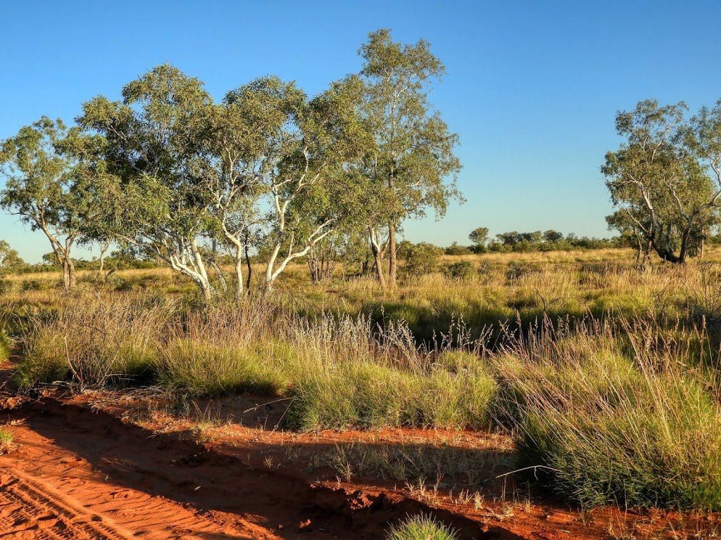
A day of driving in the Hay River – mostly in the river bed itself. 220 km for the day. A day of very difficult driving – interesting country and vegetation and because of the water holes, many birds – (Spotted nightjar flushed where we had lunch). We drove NNW as the general direction. The road was seldom straight for longer than 3-4 m as it wound its way around bits of vegetation. Eucalyptus shrubs with mallee stems is the dominant vegetation along the river.
In the northern part of the river, there are signs that there has been a surface flow recently. We climbed slowly all day from about an elevation of 30 m to 109 m at the camp about 24°15’18″S. Temperature rose to about 24.5°C from 4°C this morning. A few very high cirrus clouds this afternoon so maybe warm for 24 hours or so, then cooler.
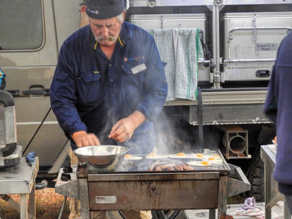
Today was a bit of a disappointment. The pump in the shower/toilet truck has ceased to function properly. Initially a blown fuse was identified and replaced but now the pump will not automatically shut itself off. “Bucket” showers and hand flushed loo from now on.
An ‘aboriginal midden’ is marked on the HEMA map just north of where the Madigan Track comes in from the west. We did look for the midden but could not find a sign. However, at about where it should have been, there were bands of chalcedony cutting across the track. This chalcedony has no crystalline structure and forms an excellent sharp, strong, cutting edge. I’m guessing that the ‘midden’ is the remains of a toolmaking workshop.
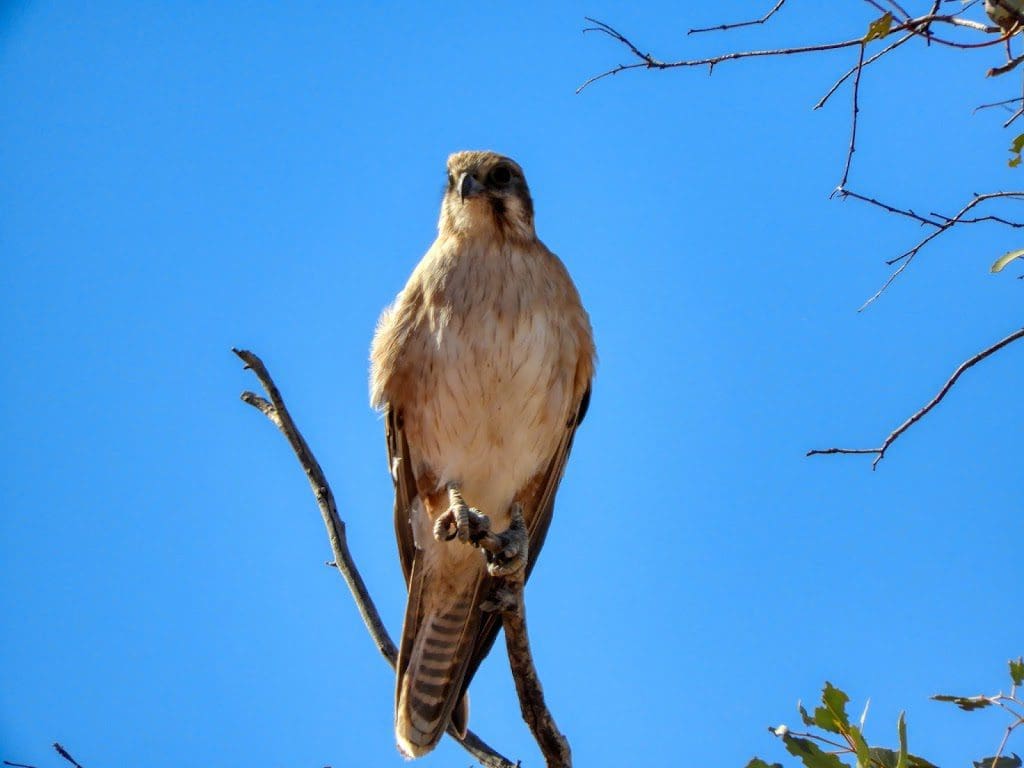
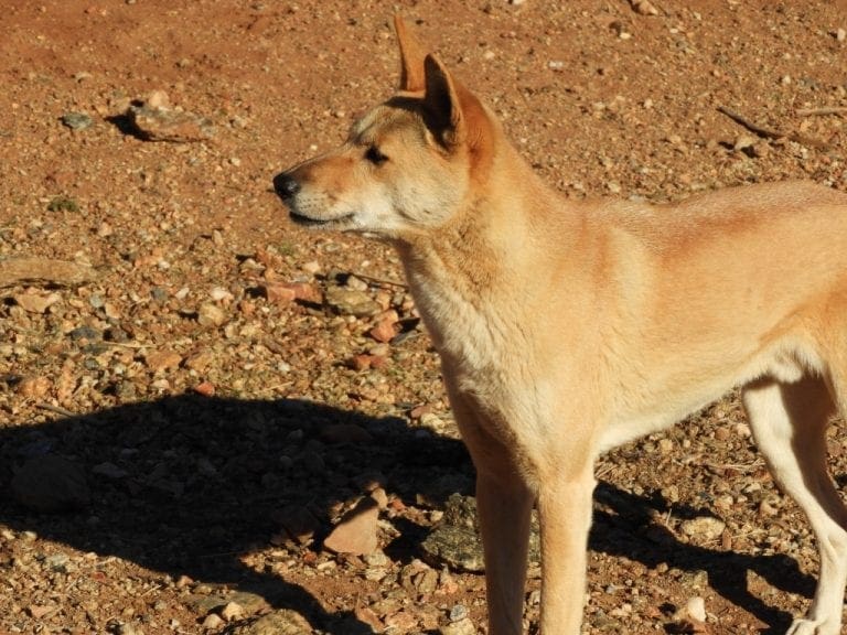
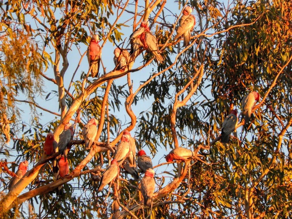
Also seen today – many budgies; brown falcons; bustard; dingo. As I was writing this, at about, 6:15 pm, I heard what sounded like black cockatoos, a boobook owl and willie wagtail.
I was with Bill today in the dunny truck.
I did a check with my phone tonight to get the correct latitude. We thought we were at about 24° 10’S. We are quite a bit further south at 24°15’18’S. There are no markings of any kind on the road or map and driving for a long time makes us hope we have driven a long way. My hayfever has stopped today.
Friday 28 June 2019 Day 10
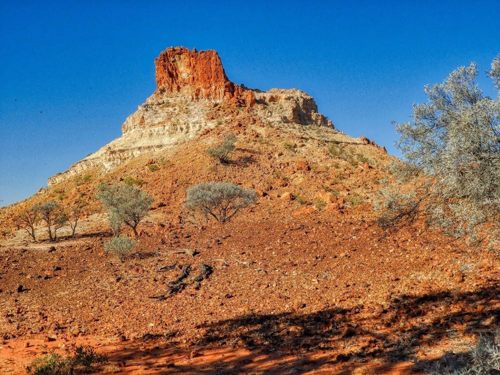
Drove to almost the headwaters of the Hay River. Camped near Goyder’s Pillar.
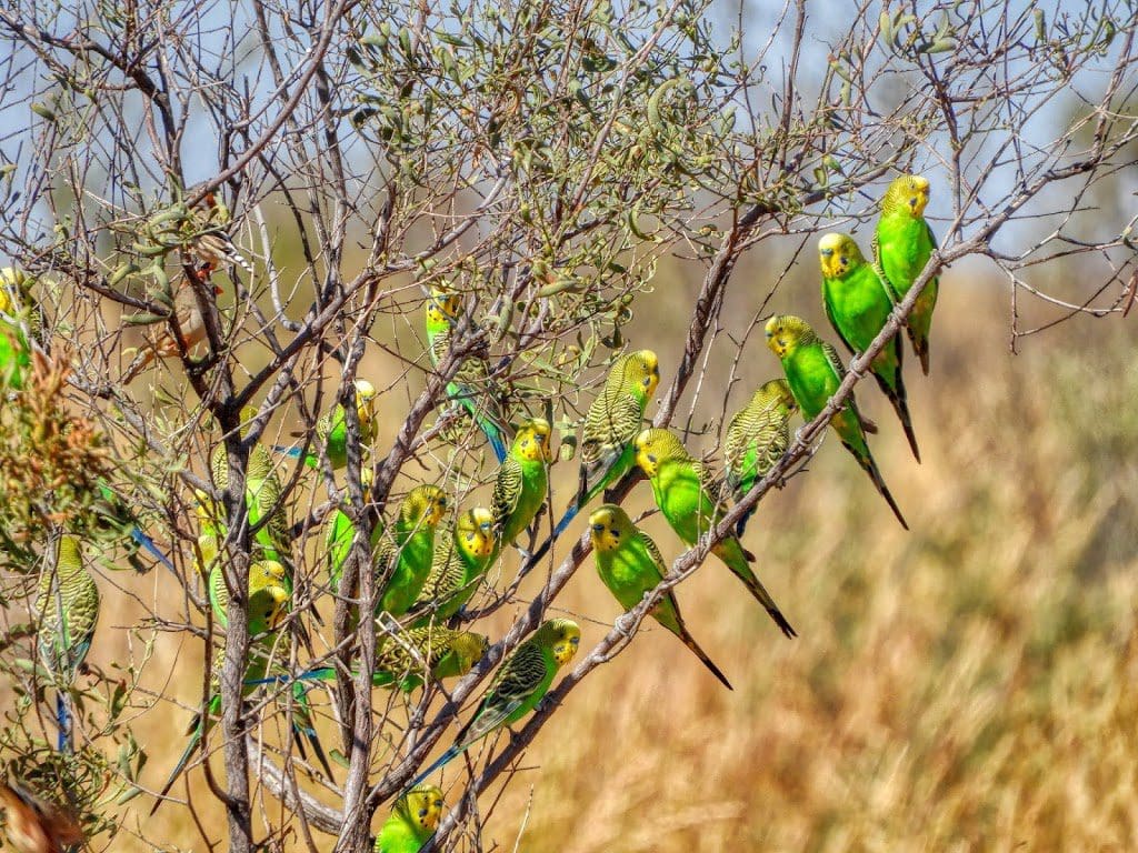
An excellent day with many changes in vegetation types and many birds. Away early but did not walk far because of the interesting birds along the way – mainly pairs of budgies squabbling over nest sites (available housing is a limit to population growth). I’m writing this covered in flies with a fly net – difficult.
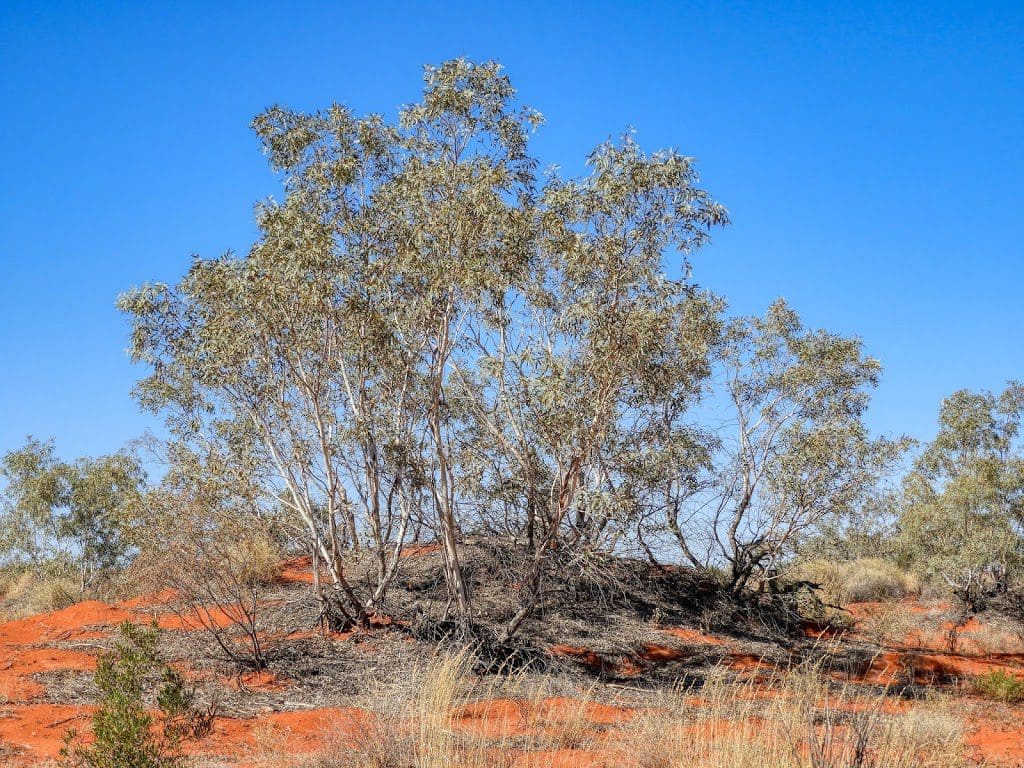
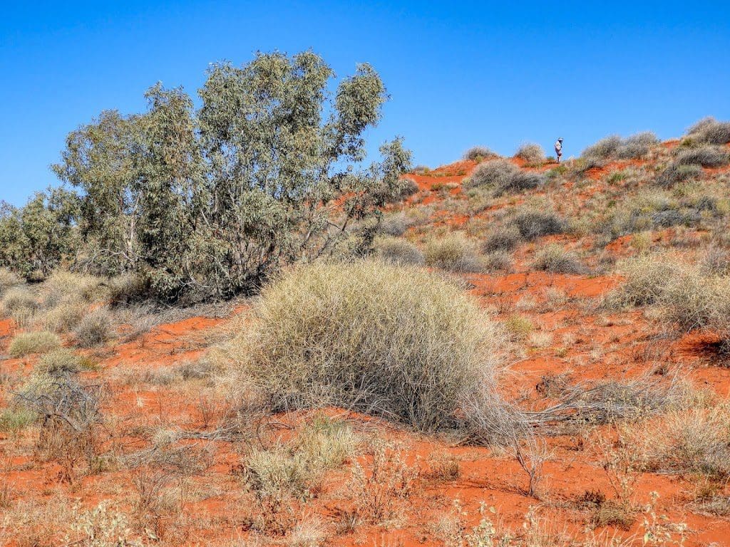
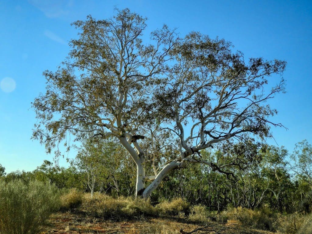
The early part of the drive – up to Lake Caroline (a large dry claypan) is in the broken up river bed of the Hay River – slow difficult driving. From about Lake Caroline, the riverbed is more distinct and wider and we suddenly had trees – further south, the same species could only form shrubs.
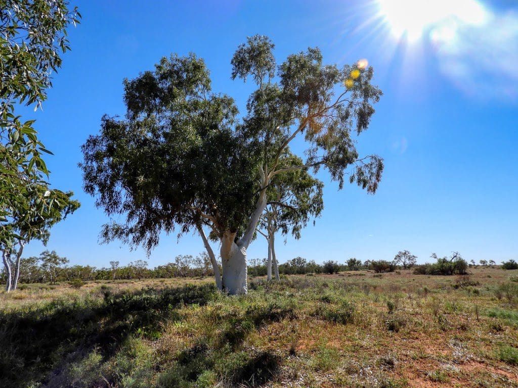
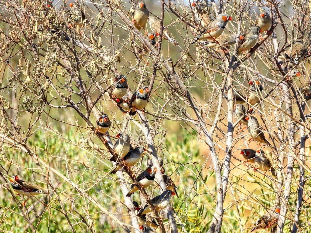
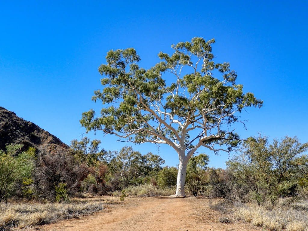
Magnificent white-trunked eucalypts. Many flocks of budgies. At Dingo Well, which has open water, large flocks of budgies and zebra finches. From then on, the road became easier to drive and we could make good time.
Today, I got a photo of three jabirus and saw two stilts. Photo of a jackie winter. Pushed on quickly to Tropic of Capricorn and through to the end of the Hay River Track. We camped near Goyder’s Pillar which is named for George Goyder for whom Goyder’s Line is named.
Along the way today the vegetation changed completely several times which made it very interesting. At one point I saw a large flock of budgies feeding on spinefex which was heavily in flower along the way – sometimes the only plant in the community.
No showers because the shower/toilet pump is not working. Still using soap to plug the fuel tank.
Saturday 29 June 2019 Day 11
Drive along the Plenty Highway for much of the day – sealed for a short portion and corrugated the rest. We are at Ross River Homestead. Having come down from Gem Creek. I traveled with Lee today.
The new concern for the day was that a warning light came on in the lead (kitchen) truck showing ‘EDC’ and the vehicle would not go more than 60 kph. It could be reset but this turned out to be temporary and needed to be reset about 15 times during the day.
A long day over not difficult roads. A complete change of country because yesterday, about we crossed the Tropic, we left the dunes behind. The first 100 k’s or so were on the sand with very varied vegetation.
I have long given up trying to work out the acacias and eucalypts. No new birds today – though I didn’t get a photo of a diamond dove. At Jervois Station, we bought an ice cream and the trucks filled up with $1,400 of fuel. We were running very low – calculations last night had us getting to Jervois with just 40 litres between the 5 trucks.
The hole in the kitchen truck fuel tank, although mostly fixed with the soap, still gets worked loose and leaks on the corrugations and uneven road. However the real cause of low fuel was the detour on Eyre Creek. From Jervois,we drove west to Harts Range (which looks to comprise a police station, a few dongas and a bare oval) for lunch on the side of a dusty road.
Onwards over more corrugated road to Gem Creek store (where I bought an ant). From Gem Creek, we left the Plenty Highway and cut south to Ross River Homestead near Trephina Gorge. Showers and a bar (for those who need it) and grass to camp on. It looks very tough country in the shadow of the eastern MacDonnells with little rainfall and very stressed vegetation.

The Ross River Homestead has put a lot of effort into accommodation for travelers. Good showers and huts. I hope it goes well for them. We are at 23°23’2″ S; 134° 41′ E. Very close to the Tropic of Capricorn again and at 490 m elevation. (Note Tropic of Capricorn is 23°26′12.3″S and moving north at about 15m each year.)
Because of folding in the surrounding hills, I gave a short talk tonight on folds and folding. Trying to keep it at the right level for people to understand.
Sunday 30 June 2019 Day 12 – final day
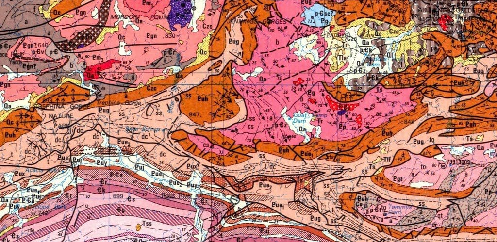 |
| Geology of heavily folded and faulted East MacDonnell Ranges Trephina Gorge middle left, Ross River Homestead bottom centre, Arltunga top right |

The adventure has finished. The little group of 20 (15 guests and 5 drivers) that made up our magical mystery tour that moved through this enchanted desert has finally returned back to ‘civilisation’ (deliberate quotes) at the Mercure at Alice Springs. I’ve been feeling a bit sad about that all day.
We began with a late start 7-8-9 (because the second stop just down the road did not open until 9). Another excellent early morning walk. At the first stop at Arltunga gold digging (where there were once 10 stampers and they pulled out 15,000 ounces of gold), we had a walk into the diggings. Then a short drive to the interesting Arltunga Museum for morning tea. I drove this morning with Paul who asked questions about geology.
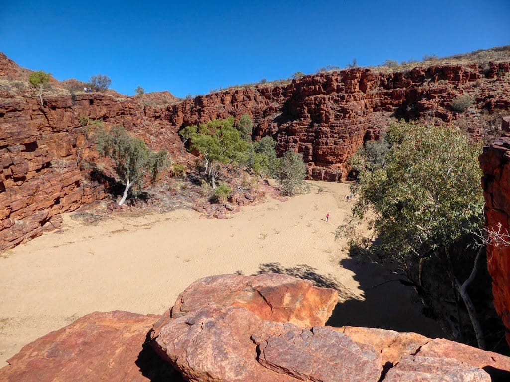
We made our way to Trephina Gorge for an excellent walk on the Trephina Gorge walk. Quite steep up and steep stairs for the descent. I did not take walking poles and it worked! I really appreciate the unobtrusive way that Lee and Bill came with us – to make certain I was alright. Lunch on return and then I moved to Alex’s car for the return to Alice and the Mercure. Final dinner at the Mercure.
We drove 2,230 km in 11 days of hard driving of about 7 hours driving each day – which was most of the daylight hours. I have really enjoyed this trip with Outback Spirit – cheerful and very well organised. I’ve had some thoughts about being able to spend a full day somewhere along the Hay River (which was the most interesting part of the trip), but think it would be impractical. Mainly because we were seeing that area shortly after rain – which might not happen again soon.
This link will take you to a slideshow for this part of the trip.
This link will take you to a movie for this part of the trip.
Things that really worked well
- 6-7-8 start – an easy way to understand the plan that gets away each day.
- Short walk each morning – got us out of their hair, gave the couples charge for a bit of couple time, a chance to poke about of the country safely on foot for 30 to 40 minutes.
- Moving us at random each day to a vehicle – chosen by ‘pick a card’ – Split the couples and cliques up.
- Rotating clockwise to a new seat in the vehicle 2 times a day after morning tea and lunch. Gave us each a chance in the front and side seats and a different person to talk to the driver.
- Excellent meal each night and breakfast – very good to have a cook/chef as crew.
- Making our own lunches each morning and washing up.
- Having three skilled diesel mechanics as drivers – lots of experience to fix things when they went wrong. (Note that hole in the fuel tank of the kitchen truck before Birdsville was the main issue that kept with us to the end. The soap repair did stop the tank leaking but soap was also sucked into the tank and it clogged the filter to the fuel pump which stopped the engine working – the ‘EDC’ warning light problem yesterday).
- Having the shower/toilet truck. This appeared to be a bit of overkill until its pump failed and we could not have showers; then we appreciated it.
- Experience of the drivers – these men have seen a lot and bring a lot to the job. An excellent choice by whoever hired them.
- Calling on the expertise from within the guests to explain what we were seeing.
- Good equipment – tents, vehicles.
- Keeping the trip careful – in sometimes trying conditions.
- Hearing the 2-way UHF radio discussions and being allowed to participate in them.
- Encourage drivers to use low range four-wheel-drive. I know they can get over the dunes in high range. However, this practice cuts up the track too much for other vehicles – ‘take care of the track’.
- Bring a Mercedes engineer from Mercedes Design to drive the tour – even if only the southern half, though all would be preferable. Drive each truck for at least a day. The purpose is to appreciate the road/track conditions and what is being asked of the vehicles and drivers.
- Give Alex more of a guiding role. He wants to be a guide, so give him the guiding role and emphasise it. Today we will see… Yesterday we saw…