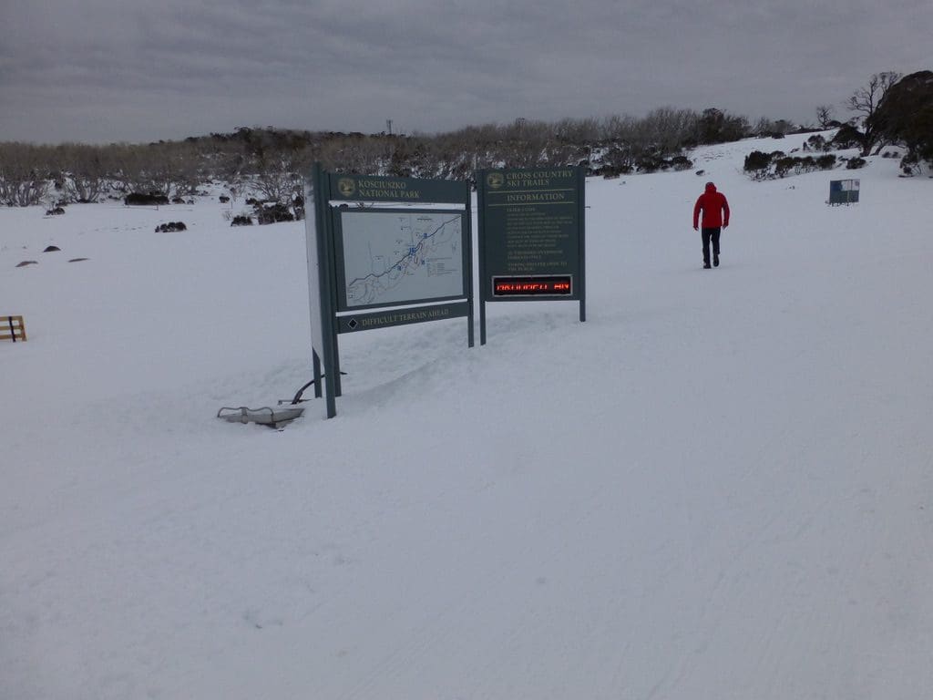
Perisher 2014 – Nordic Skiing – Week Two
Thursday 10 July 2014. Excellent snow overnight. We classic skied the 5km track plus a part of the 2.5km. (1,212Cal) We began with a clear sky and light winds. The wind gradually increased and eventually we were in cloud and very unpleasant conditions. Two falls for me today – both when the upwind pole blew between my legs and I did a neat face plant – at walking pace of course. The snow was excellent creamy snow. As good as I’ve seen in Oz. It is certainly slower with creamy snow than with icy tracks.
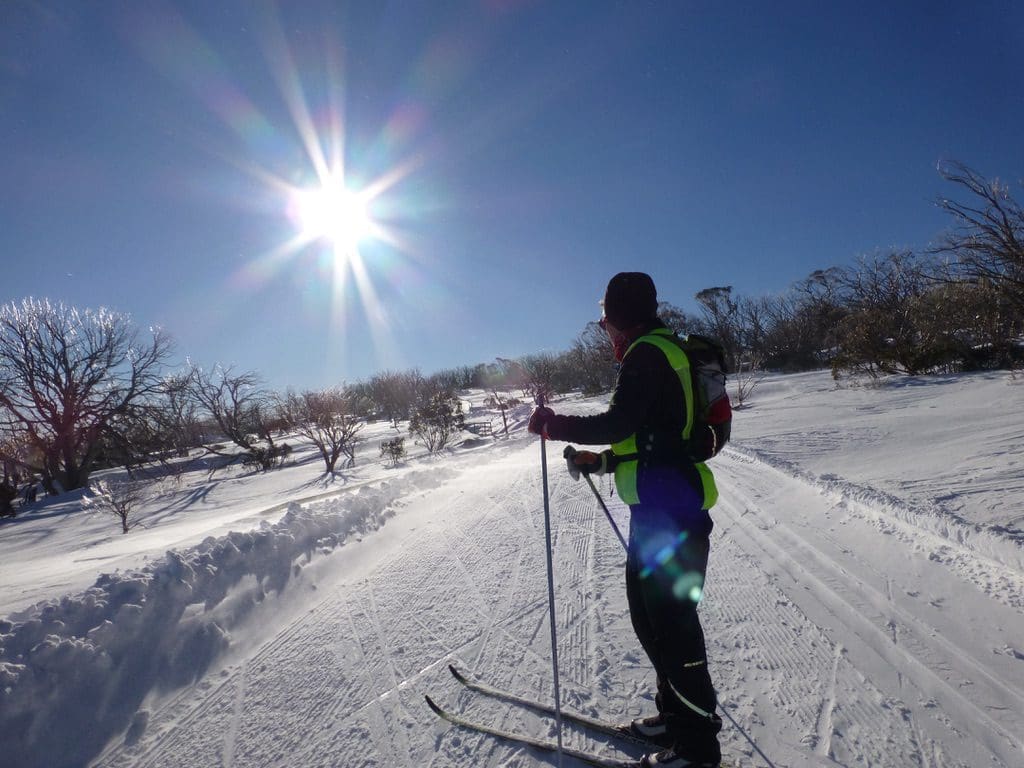
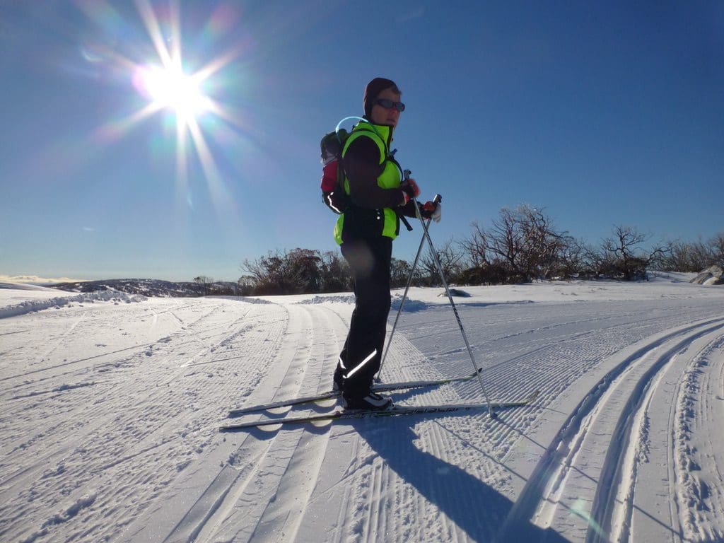
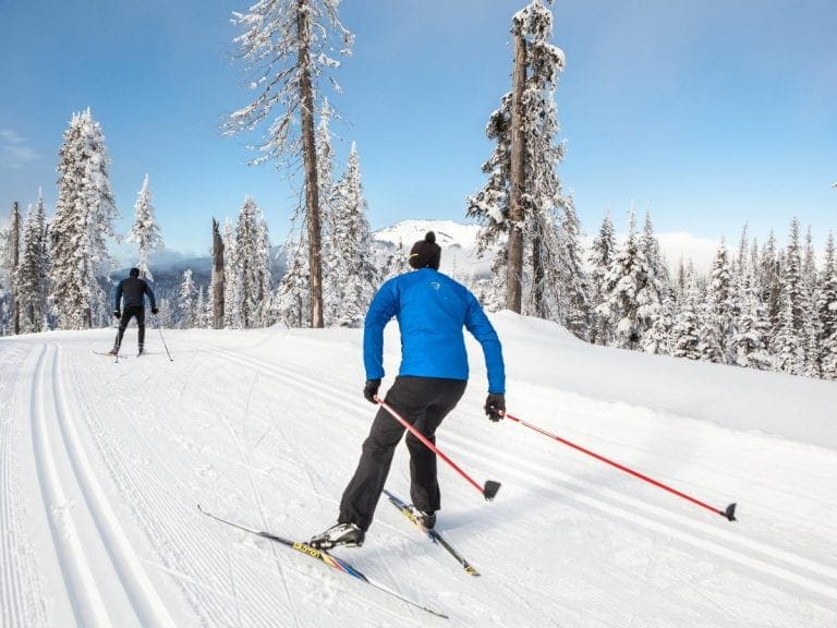
Friday 11 July 2014. A beautiful sunny day. We classic skied the 10km track. (1,686Cal) Beautiful soft snow. The 10 used to be my favourite track when we had bought our first x-country skis and nothing was groomed. We used to ‘do’ the 10 every second week and learned a huge amount about how to ski anywhere – we could get up and down anything – not always pretty – but doable.
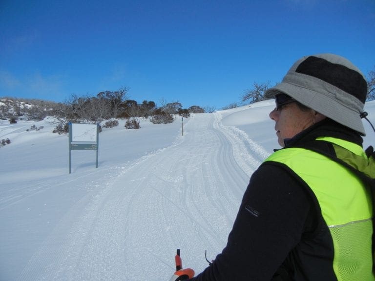
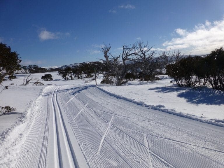
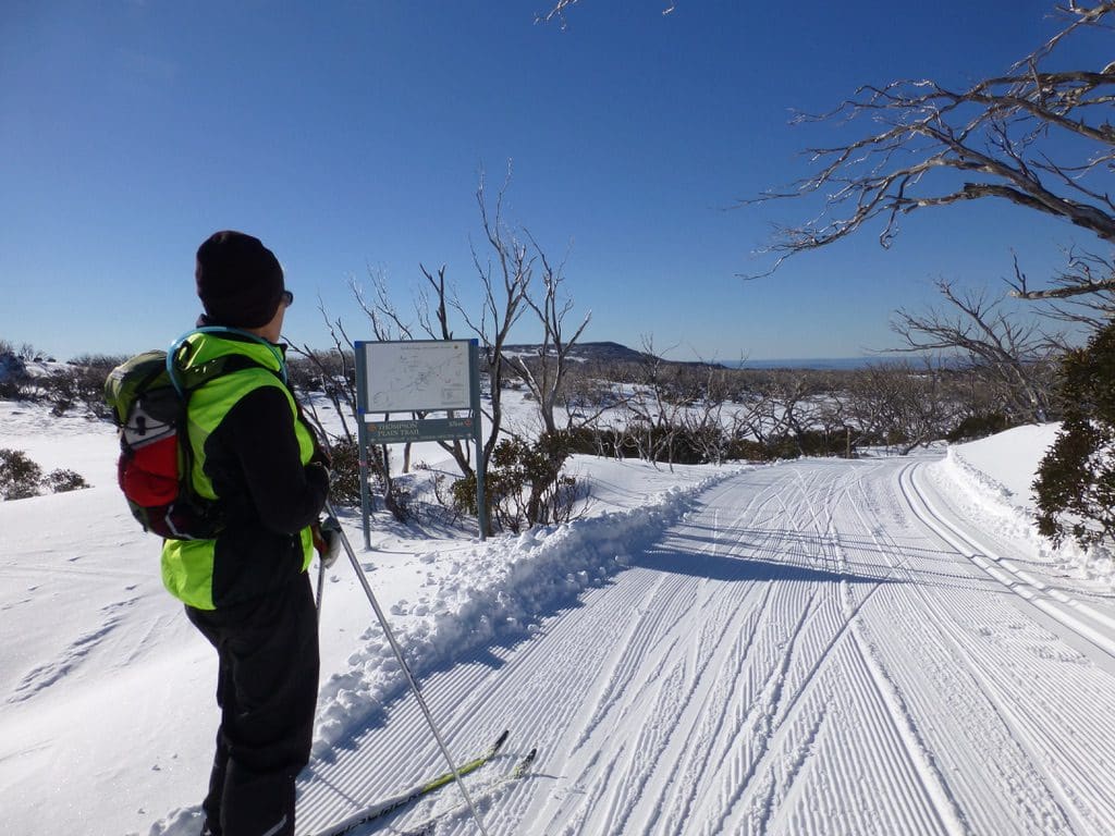
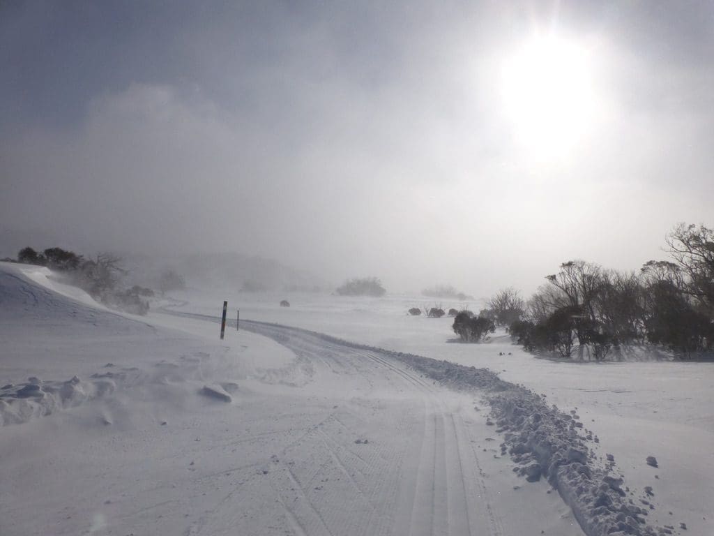
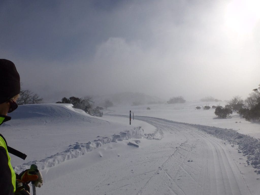
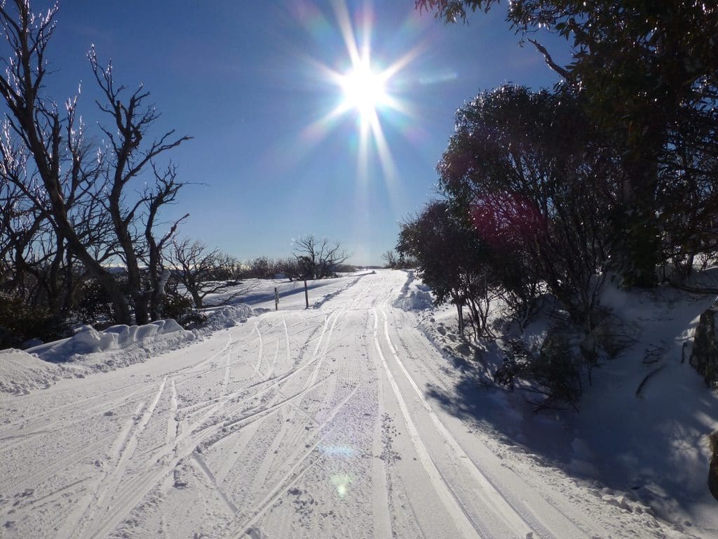
The 10km track between when it leaves and rejoins the 7.5km is a big long flat loop. It always feels as though it is way longer than the 2km that it must be. It is not always groomed because it has thin snow and quickly develops holes. When it has good snow, it is beautiful. When it leaves the 5/7.5km first, it drops down a nice hill, runs flat and up before dropping down to a creek. The climb out of the creek can be thin and icy (because of thaw/freeze). Near the top the ‘Paddy’s Link climbs off right. (We will find it again just before the junction with the 7.5km.) We climb a little more before a sudden drop through some trees. This bit after the drop used to be where I would always fall over. The track runs flat for about 100m until a slight climb through trees. Another freeze/thaw area that can be difficult. This climb continues a 100m more an then sets flat-ish for about 1 km. This flat area is strongly scoured by wind. (We both been blown clean off our feet along here many times.) There are good short cuts along here as the return track is just 100m away to your right. (Know what you are doing to attempt a short cut.) At the end of the flat zone, the track climbs slightly before heading gently down around (this is the turn around – a sign to ‘Dinner Plains’) a down further. This is the low point and the track climbs gently from here past the junction with the 7.5. There are 4 good hills. The first two happen immediately and make up most of the rise. Good views down across Victoria. Good picnic spots. Many wind scoured areas. (This area is not peasant in extreme winds.) The shapes made by the blown snow can be beautiful.
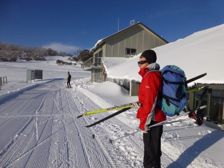
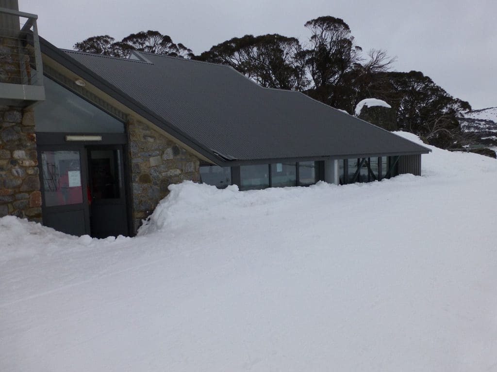
Saturday 12 July 2014. Quite a lot of fresh snow overnight and on the grooming making skiing difficult. Helen and I had been rounded up by Acacia of K7 to help give a lesson. (1,148kCal) Five in the group and 4 instructors. Acacia does occasionally need additional instructors. She has been pushing for us to do the instructor’s course but for us as very part time instructors it would not be worth the $1,034 expense. So, we are taking a less costly path. I certainly enjoy teaching people the basics. For most people, the basics are easy to get and people are independent after 2-3 hours of instruction. Of course, there is much more to learn especially if you intend to race. Speaking of racing, most instruction and most usage of the nordic shelter and tracks is by the racing group. from what we can see, there are far fewer recreational nordic skiers than there are racers. Why is that?
Sunday 13 July 2014. Much needed day off. Ditto for Monday.
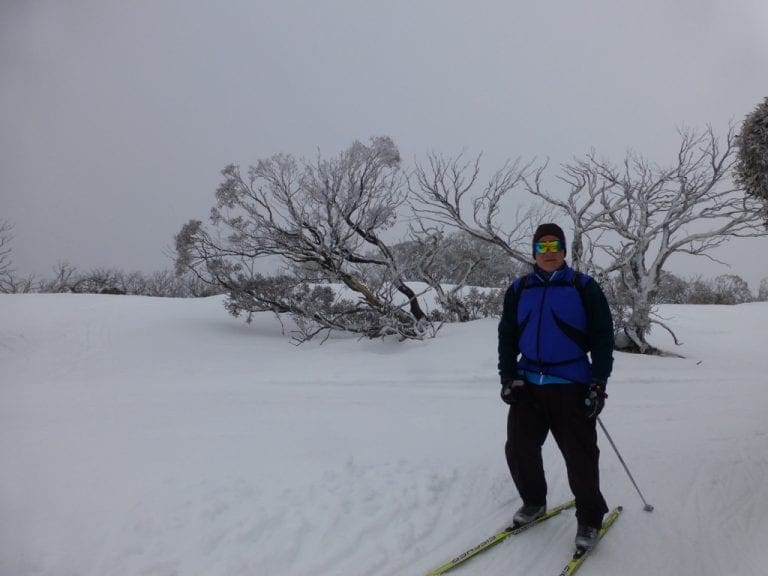
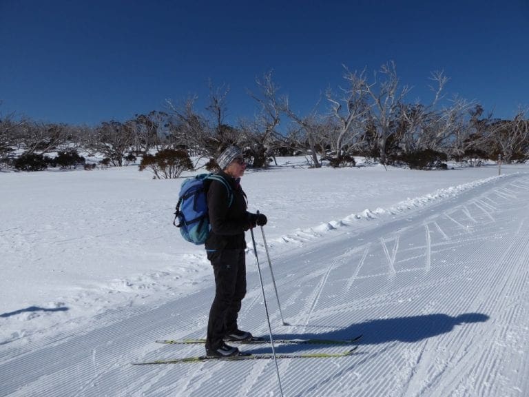
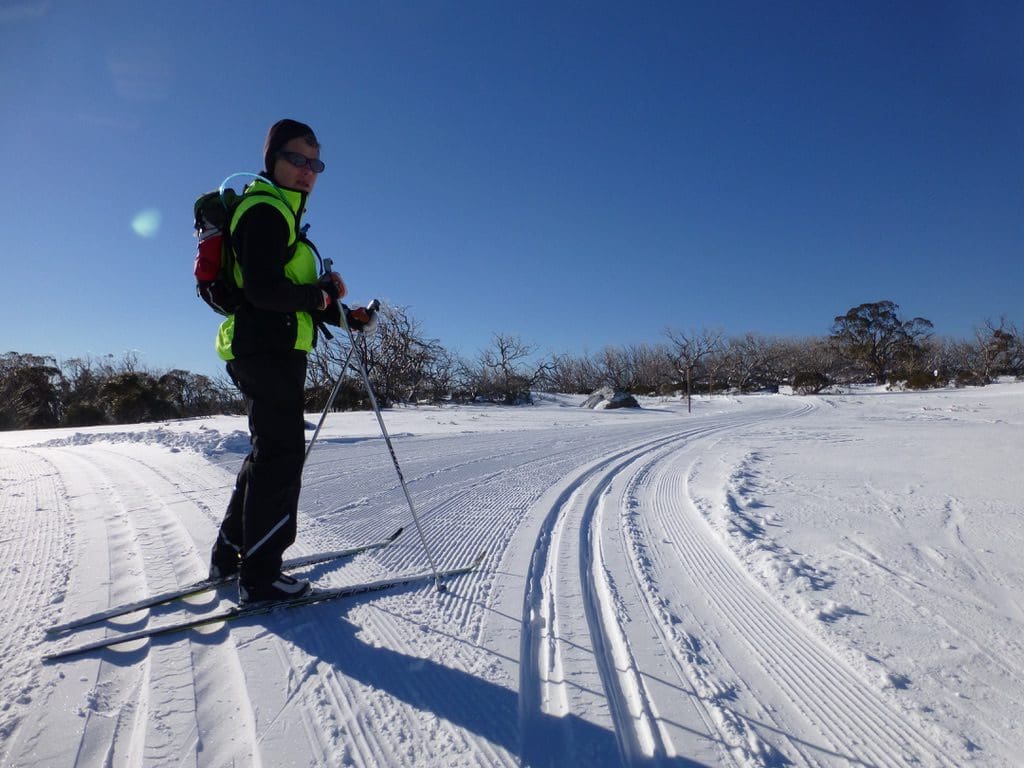
Tuesday 15 July 2014. We classic skied the 7.5km plus an out and back on the 2.5km. (1,313kCal) Very nice snow. The wind gradually increased and light snow was falling by the time we had finished. The cloud build up was extraordinary – wind formed lenses over the mountains, black clouds immediately east and blossoming cu-nimbus just east of them. A peach coloured light filtering through. Beautiful. That is why we do it. On our way around, we concentrated on improving our diagonal stride technique. While it is true that ‘if you can walk, you can cross country ski’, it does take effort and practice to do it well. We will never be racers but with practice, we can ski better. We are trying to get more glide out of each gliding ski on the uphills. We had four things to work on today: step-step-glide exercise; lean further forward; kick a soccer ball up the hill with the gliding ski; get the hip forward over the gliding ski. No easy. I’m certainly doing it better, but I have a habit of slapping the ski on the snow – which means 3 of those 4 are not working yet
Wednesday 16 July 2014. Day off. The forecast and report are for rain today. We drove up to look and yes, it was drizzling rain and fogged in (could not see the church or windsock), so, we drove back. Reports later from those who persisted were of a horrible day of rain and wind.
A bit about the Xtrail fuel consumption and cruise control. We have discovered that if we keep the revs below 3,000 (preferably below 2,750), the Xtrail does very well. (We are currently at 10.4 l/100km and falling.) This takes a bit of effort. If we just plonk the cruise control on and take no notice, it often pushes the revs high just to keep the speed constant. So, our ideal cruise control would be one that sort of kept the speed constant, but would be willing to sacrifice speed to keep the revs below some value. Maybe a computer in the car could manage that? Wait, there is one there already. I look forward to seeing cruise control handling this.
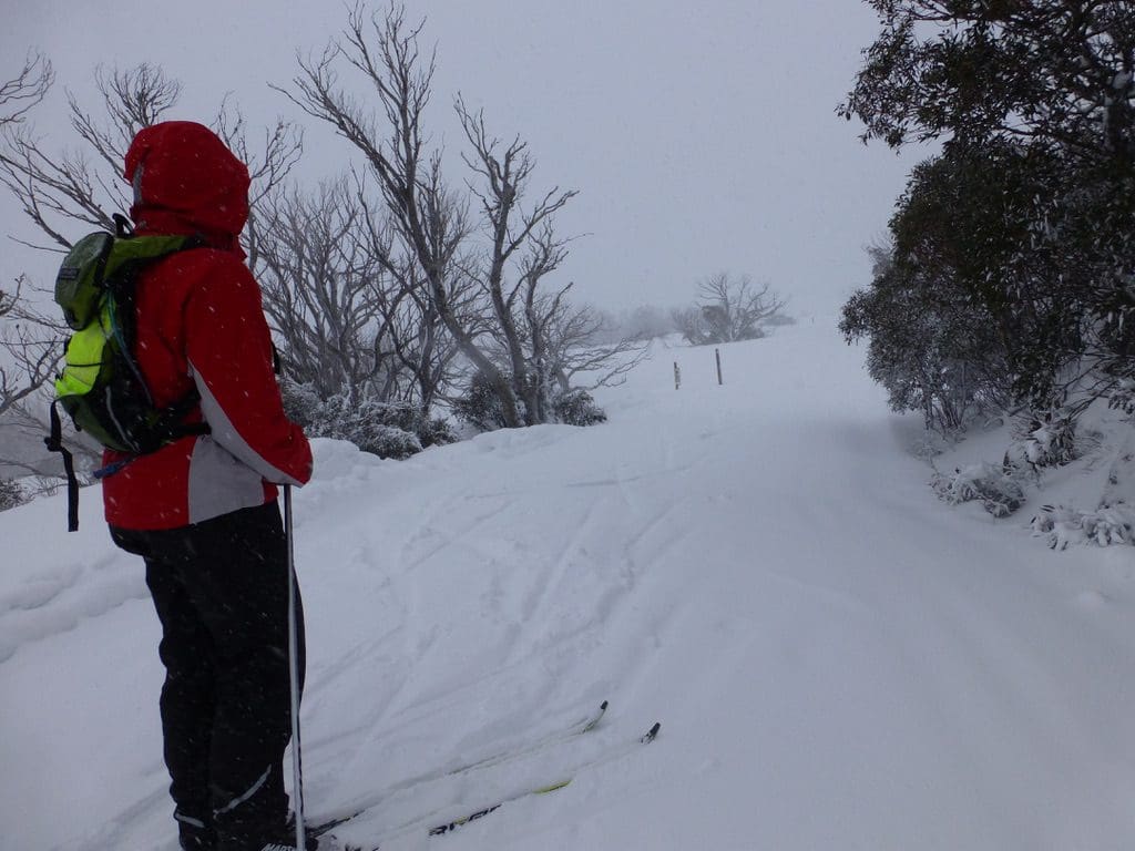
Thursday 17 July 2014. Classic skied the 5k. (1,289kCal) Beautiful snow falling all the time we were out. I could not see Helen’s tracks when I was just a few metres behind her. Windy but not too bad. Visibilty very poor.
Friday 18 July 2014. We struggled around the 2.5km. (649kCal) A very windy day. It began with gale force winds and they just got stronger. It was not too bad for the first km because we we going with the wind being blown up hill. Coming down was not pleasant.