Kimberley trip – 2017 – Week 3
Thursday 11 May 2017. Day 15. Drove 160 km to Mataranka. The vegetation along the way gradually increased in size until we eventually we had a few trees with good trunks. We are at Mataranka Homestead with its delightful hot springs surrounded by palms. Quite a large van park which filled up towards dusk. We had two swims in the hot springs. Every night here, there is a live band from 6:30-9pm.

Friday 12 May 2017. Day 16. Rest day at Mataranka. Two dips in the pool which is extremely good. 30.5 million litres of water flow from a spring about 50m upstream from the pool, through the pool and out the otherside. That means 343 litres a second exit the pool. We measured the flow and it is correct. A lot of water. The pool is delightful – lovely, clear, slightly warm water. At Mataranka, we are at 15ºS, ie about the same latitude as Cooktown. At 9pm, Nathan ‘Whippy’ Griggs world champion whip cracker put on an excellent whip cracking show. He holds the Guinness World record of 697 cracks a minute with two whips. https://www.facebook.com/NathanGriggsAU

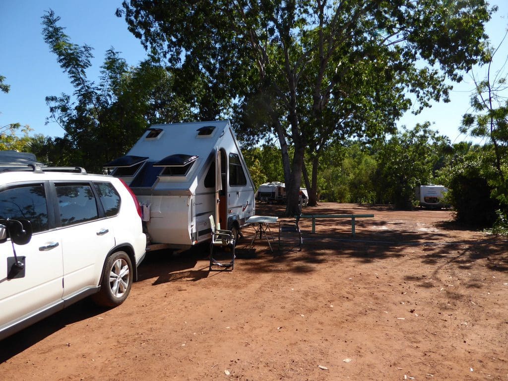
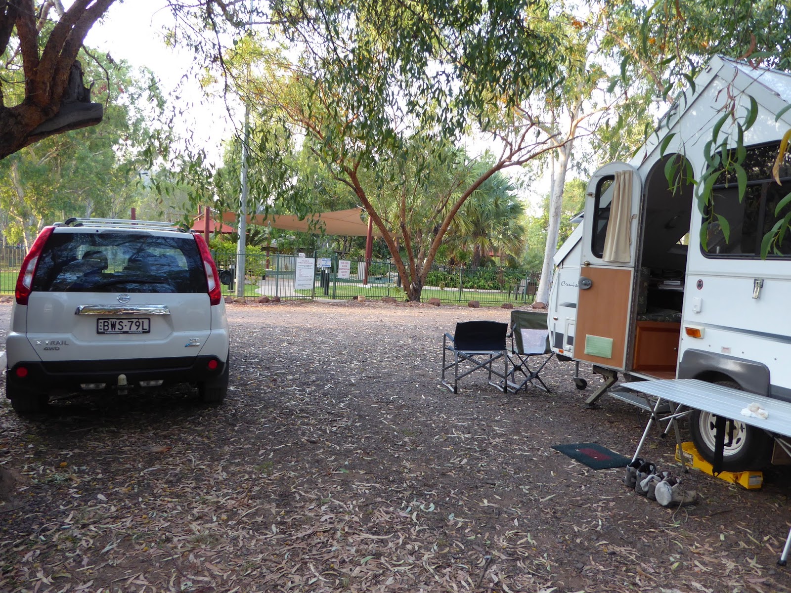
Saturday 13 May 2017. Day 17. A short 190km drive to Nitmiluk (Katherine Gorge) via Katherine. Nitmiluk is delightful. We are in a shady area near the swimming pool. Blue-faced honeyeaters and silver-crowned friarbirds have entertained us going over the big golden eucalypt flowers just above our van and great bowerbirds have gone over the ground all around us. Quite a lot of red-headed fruit bats in the trees. www.nitmiluktours.com.au

Sunday 14 May 2017. Day 18. Three Gorge Cruise at Nitmiluk (Katherine Gorge) began at 9am and finished just before 1pm. Our guide was Jason who was excellent. We had 24 in the group and had to change boats (with a little walk) between gorges. The water is still 1.5m higher than normal because of the big wet this year. In the wet, the water charges down the gorge forming huge whirlpools where the gorges change direction at right angles. I think a tour in the gorge in the wet has crept onto my bucket list.

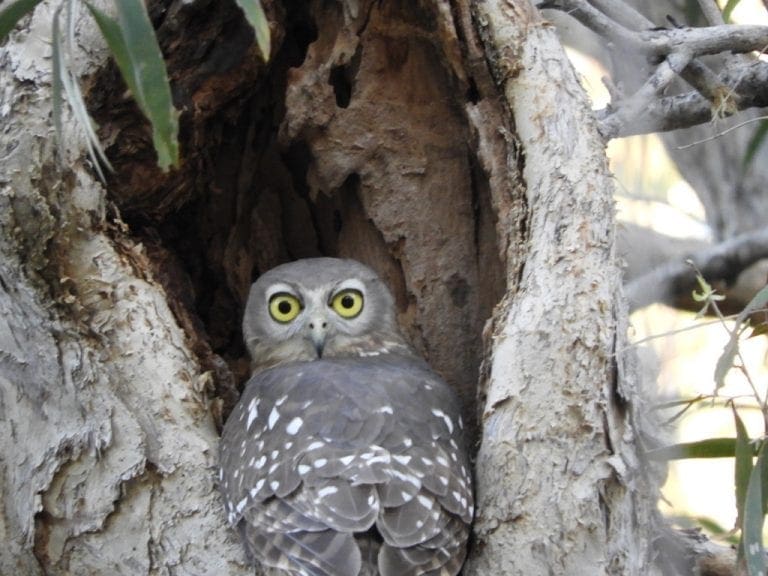
The Katherine River runs along a series of huge cracks (that were filled with dolomite) that make a rectilinear network through the hard old sandstone of the Kombolgie Formation. We saw just one freshwater crocodile and very few birds. The bird to the left is a female (because of her brown tail) Blue-winged kookaburra. Very different from the laughing kookaburra of the south. At Nitmiluk, we are just south of 14ºS, ie about the same latitude as just north of Cooktown. This is as far north as we go.
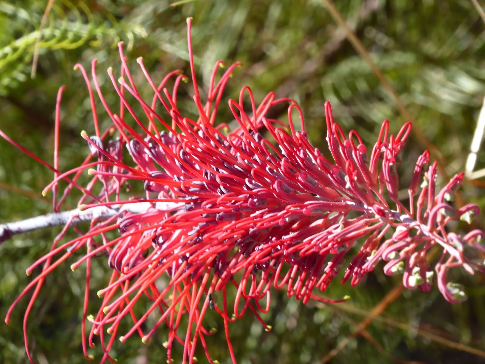 |
| Grevillea dryandri |
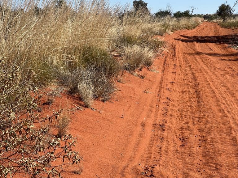
Monday 15 May 2017. Day 19. Walked the short loop at Nitmiluk. This initially runs parallel to the river (river left) as the track makes its way up to a couple of stunning lookouts over the river at the beginning of the first gorge. At the top, the track heads inland south away from the river and makes its way across the sandstone plateau that the river cuts through to make the gorges. The vegetation is very interesting (and sparse). Many small grevilleas and acacias. We were out for 3 hours doing the walk and it did get a bit too hot for us. A nice swim on our return. New bird: white-lined honeyeater.
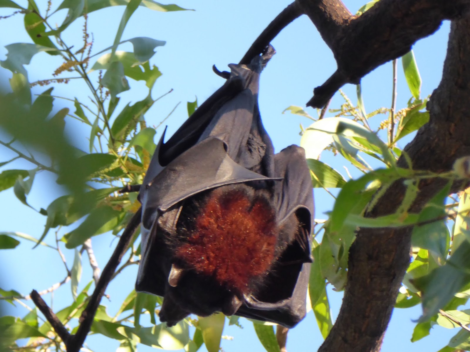
Tuesday 16 May 2017. Day 20. We’ve decided to stay another night at Nitmiluk. It was quite hot yesterday and we needed our little fan last night to get to sleep. We had planned to move on to Edith Falls today but they do not have power and that would be a bit hard for us in this heat. So we will stay another day. I actually like this little campground, shaded and cool around the pool. There is a small colony of red-headed fruit bats just the other side of the pool. They do a fair bit of yelling while they settle down early in the morning (from well before dawn through to after 8pm).
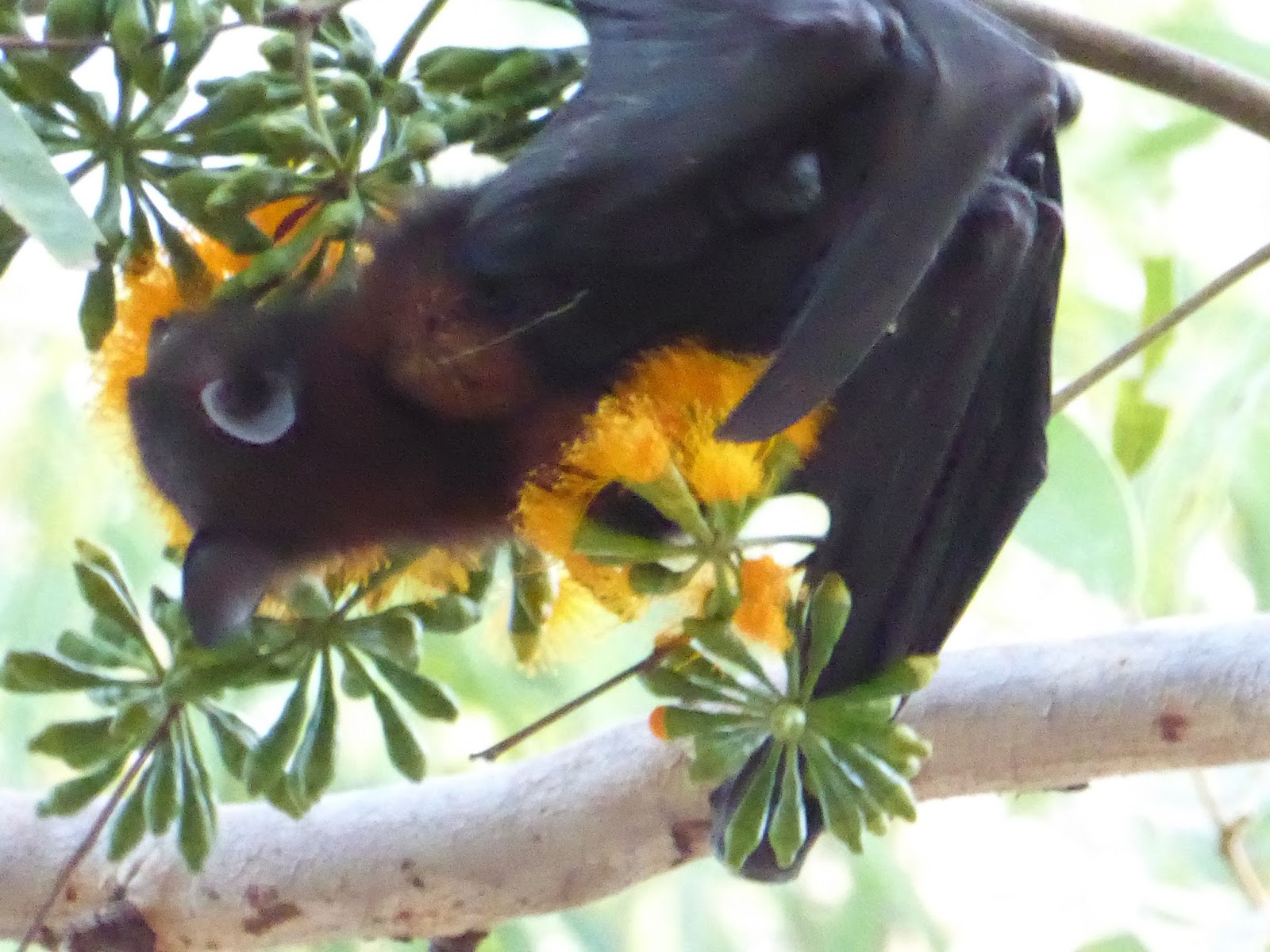
I’m sorry to report that I really do like bats. We have a small, very young fruit bat living alone in the golden-flowered eucalypt trees above our van. From about 3pm it begins going over the blossoms – crawling along along branches cleverly solving the maze of which twig gets it to the next blossom. It is competing with the honeyeaters – that can fly between blossoms and do over the whole tree very quickly. Yesterday, we saw it fly for the first time, which means it can survive when these euc flowers disappear.

At the campground, the bats’ favourite tree to roost in is almost directly over the ablution block. Some campers don’t like the bats and this leads to a daily battle as grounds staff light very smoky fires in 44gal drums to persuade the bats to go elsewhere – which they don’t want to do. Most have returned to the favourite tree by late afternoon. Each morning, the battle recommences.
I have formed a very low opinion of the vast majority of grey nomads. It is a badge of honour to know nothing about anything and to be fearful of everything – people, animals, the land itself, everything. I’m very glad that we did not stay in Katherine itself. I would have lasted just one night with the incessant whinging. Nitmiluk appears to be a bit different. The people who stay at Nitmiluk and who do get out of their vans might be a bit interesting.

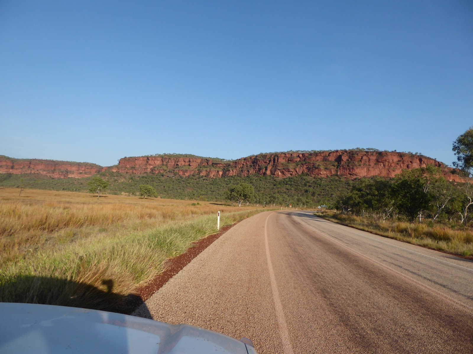
Wednesday 17 May 2017. Day 21. Drove south west 220km to Victoria River Roadhouse and campgrounds. Initially the road is through a very uninteresting savannah with small trees spaced about 30m apart. Then suddenly we began the gradual descent (over about 80km) into the Victoria River which has quite marked cliffs of red rock. The reddest rock that we have seen. Victoria River campground is friendly, well maintained, grassed, flat and with a few trees. We were first here and got the best shade. A few mozies at night which drove us inside at dusk. Same birds here as at Nitmiluk minus the silver-crowned friarbirds. No bats. We were planning to spend a couple of nights here but it is just too hot. No phone service and so no internet connection.

At Victoria River, we are at 15º37’S ie same latitude as just south of Cooktown. The Victoria River catchment is huge – 87,900km². This place sometimes gets a metre of rain at a time, which turns those square kilometres into 87.9million cubic metres (or 175.8 sydharbs) of water that wants to get to the sea in 5 minutes. It is all gone in a few days and the country nice and dry for the rest of the year. That is a f**king lot of water. All at 35ºC.
That ends week 3. Twenty-one days on the road. Since Wagga, we have driven 3,842kms and are just less than 300km short of the WA border. Only about 500km for the week. That is more like it. The high temperature has prevented us from free camping at all. Without the electric fan we would be struggling.